
Interstat 10 East - Luna County


 East
East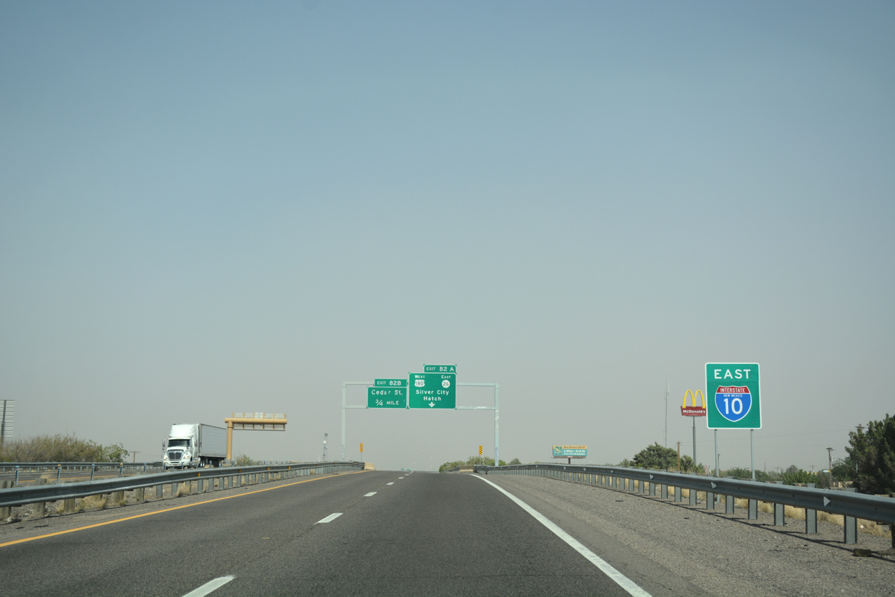
Reassurance sign assembly posted east of the split with Business Loop I-10 (Pine Street) at the North 8th Street underpass in Deming.
04/25/17
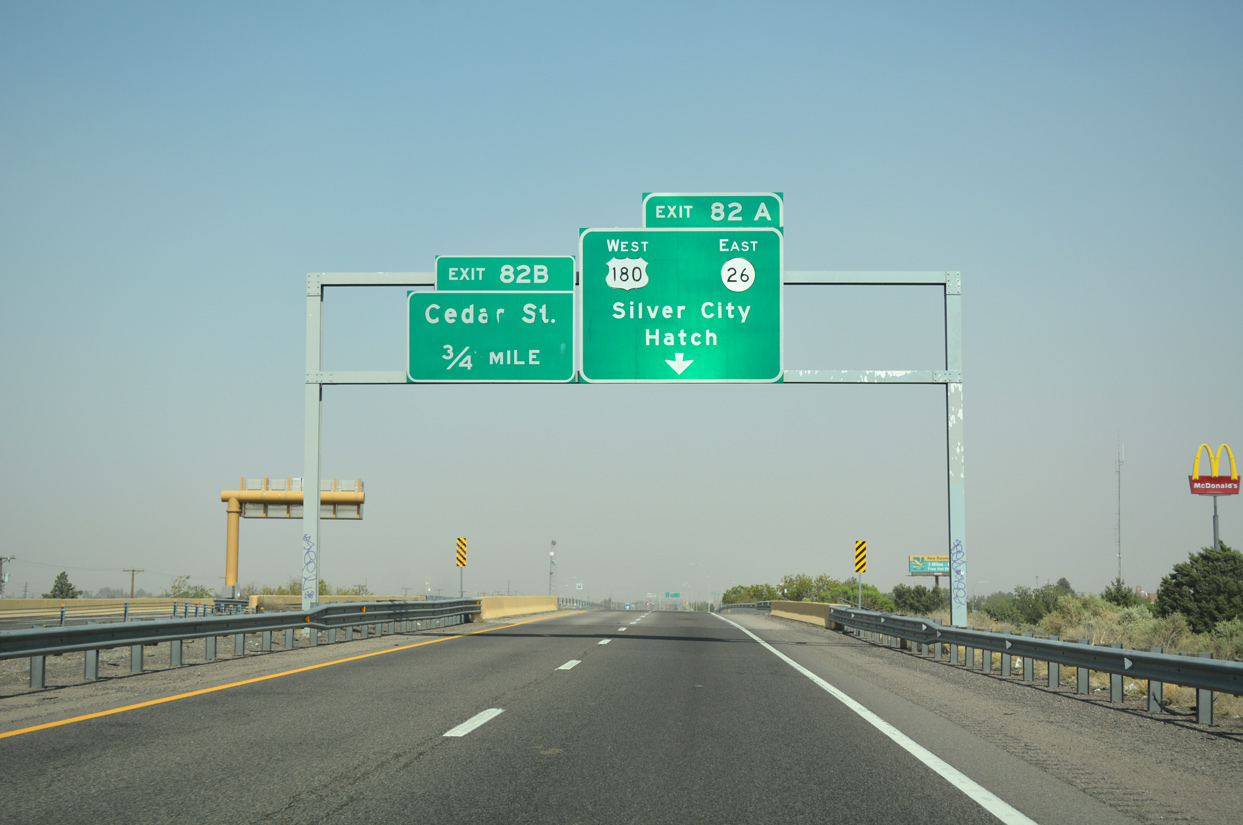
Advancing east toward Downtown Deming, I-10 meets U.S. 180 (Gold Street) at Exit 82A. Sign changes made for Exit 82A after 2005 added NM 26 east and Hatch for the state highway branching 1.25 miles to the northeast from U.S. 180.
04/25/17
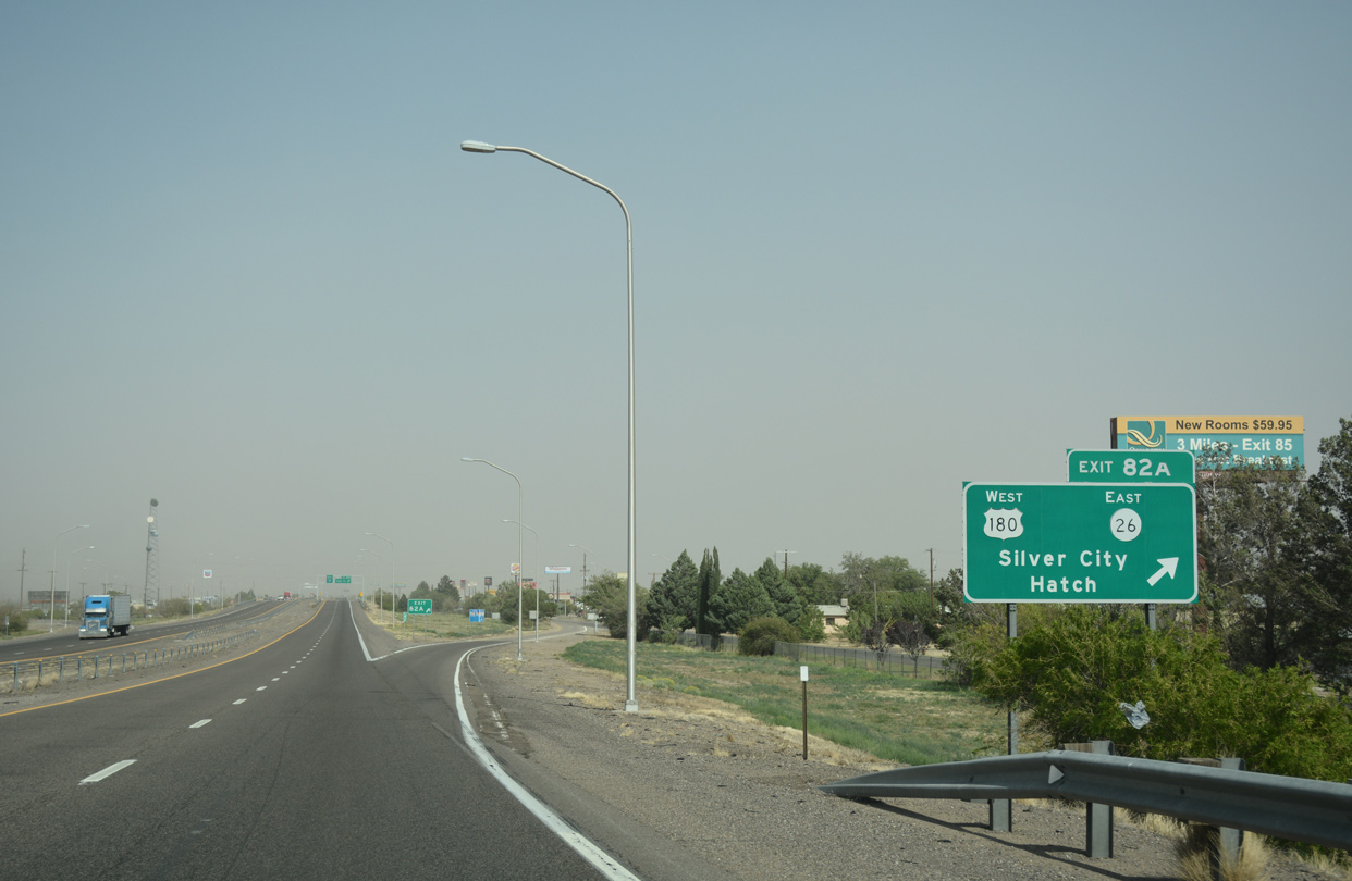
Exit 82A leaves I-10 east for parallel Cedar Street to U.S. 180 west and Gold Street south to NM 11 (Columbus Road). U.S. 180 travels 50 miles northwest from Deming toward Silver City. NM 26 provides a cutoff 47.86 miles north to Interstate 25 at Hatch. NM 11 spurs 34.12 miles south from NM 427 (Florida Street) to Columbus and Puerto Palomas, Mexico.
04/25/17
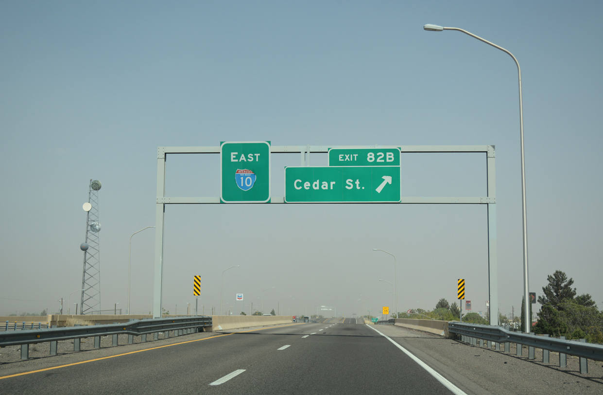
Exit 82B follows the Gold Street underpass onto Cedar Street east ahead of Pearl Street.
04/25/17
 East
East
U.S. 180 combines with Interstate 10 east along an unmarked overlap between Deming and the Texas state line. The freeway continues east alongside Cedar Street and a Union Pacific Railroad line to the return of Business Loop I-10 (East Pine Street).
04/25/17
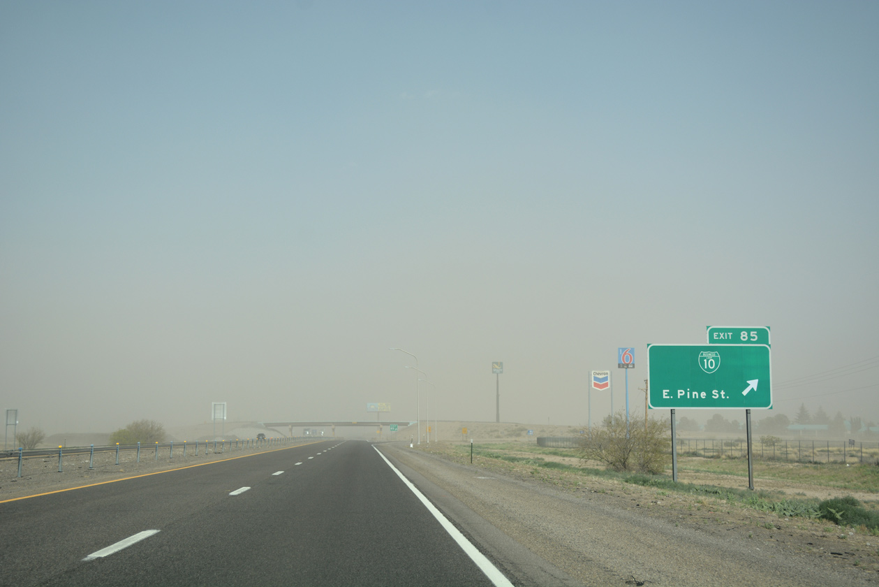
Business Loop I-10 (Pine Street) turns north from old U.S. 70-80 (NM 549) to rejoin I-10 at a trumpet interchange (Exit 85). This is the last exit for Deming, home of "pure water and fast ducks". Drawing its water from the underground Mimbres River, Deming also has annual duck races.
04/25/17
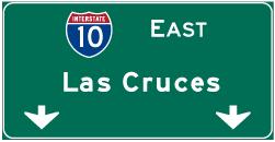

Photo Credits:
- ABRoads: 04/25/17
Page Updated Wednesday April 03, 2019.