
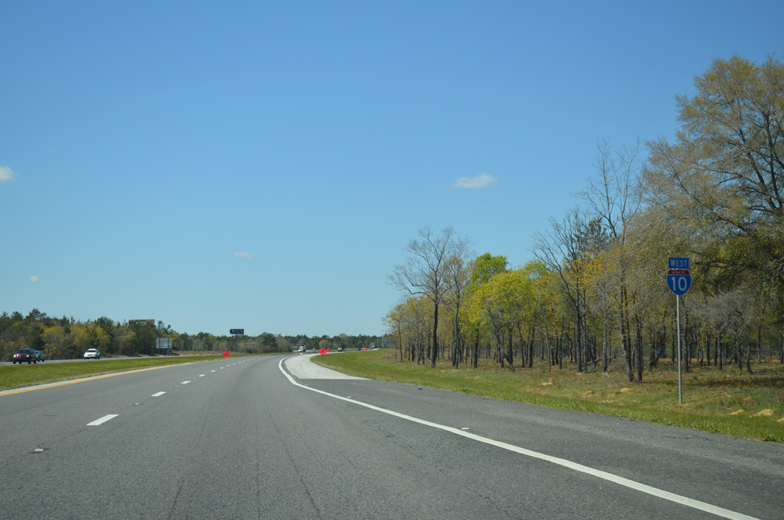
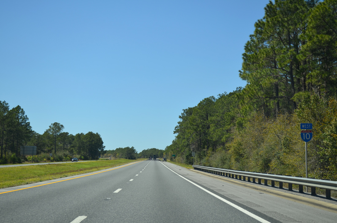
Interstate 10 West - Walton / Okaloosa Counties
 West
West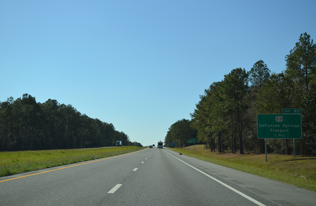
A diamond interchange (Exit 85) joins Interstate 10 and U.S. 331 at DeFuniak Springs. Traveling 49.36 miles in Florida, U.S. 331 begins at U.S. 98 near Santa Rosa Beach and leaves the state near Paxton.
03/03/13
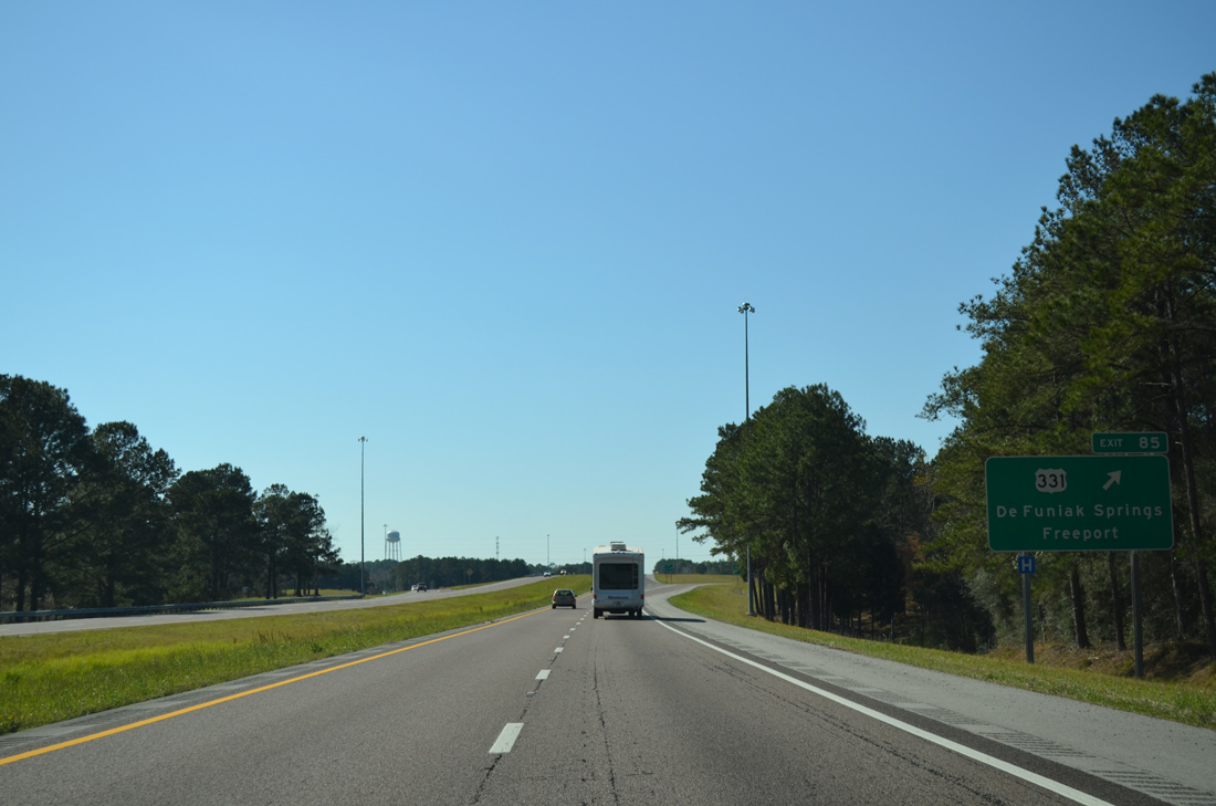
U.S. 331 travels 15 miles south from Exit 85 to Freeport, utilizing a 2007-built bypass to SR 20. Northward in DeFuniak Springs, U.S. 331 overlaps with U.S. 90 (Nelson Avenue) in 2.1 miles. Exit 85 serves interests to Northwest Florida State College, the Chautauqua Center and the Chautauqua Vineyards.
03/03/13
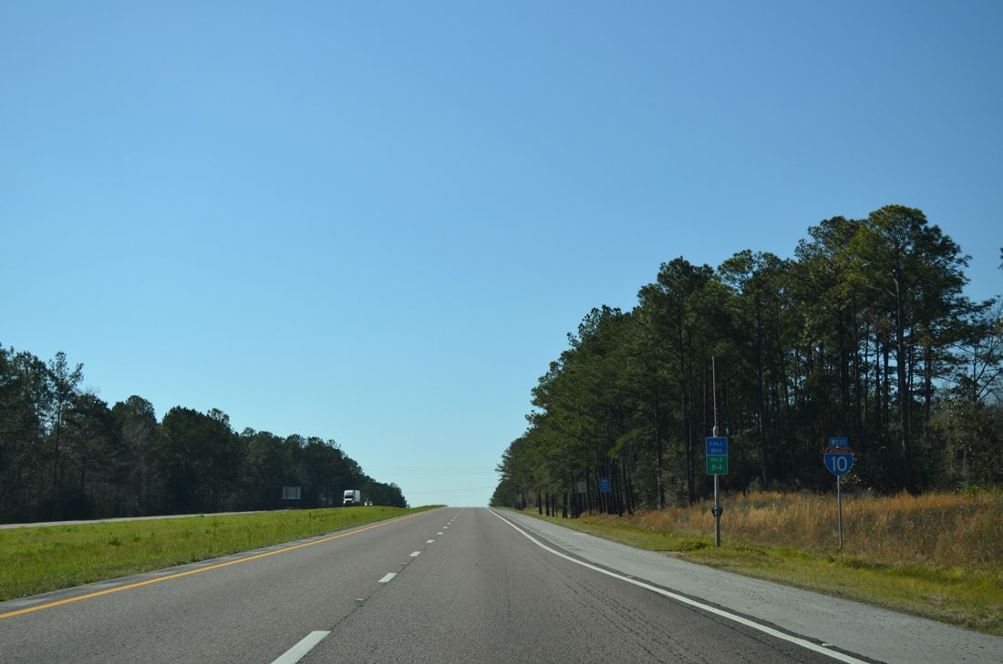
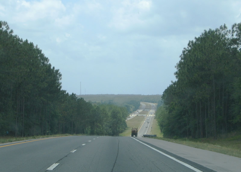
Interstate 10 trends northward from De Funiak Springs by Lake Alaqua and Alpine Heights over the succeeding seven miles from U.S. 331.
03/03/13
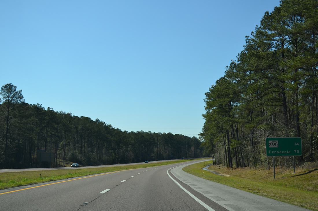
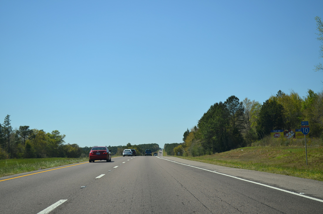
Interstate 10 travels north of Eglin Air Force Base between DeFuniak Springs and Milton. Located 14 miles ahead, SR 285 represents the first of three interchanges for the base.
03/03/13
Running along the northern perimeter of Eglin AFB, Interstate 10 parallels U.S. 90 and a CSX Railroad line west to Mossy Head. The hilly stretch tops out around 270 feet above sea level.
01/25/13
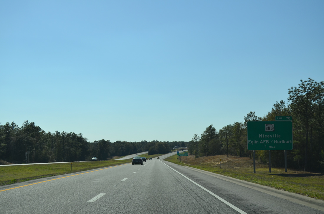
Passing by Mossy Head, Interstate 10 approaches the diamond interchange (Exit 70) with SR 285. SR 285 stems south 17.87 miles from adjacent U.S. 90 to the city of Niceville.
03/03/13
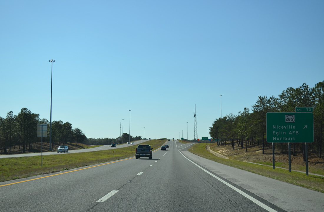
Angling southwest to SR 20 in Niceville, SR 285 represents one of three highways passing through Eglin AFB. SR 85 south from SR 20 leads to Fort Walton Beach and Hurlburt Field. SR 293 (Mid-Bay Connector) links SR 285 with the Mid-Bay Bridge across Choctawhatchee Bay.
03/03/13
Interstate 10 diverges from Eglin Air Force Base boundary between Exit 70 and Gum Creek.
03/26/13
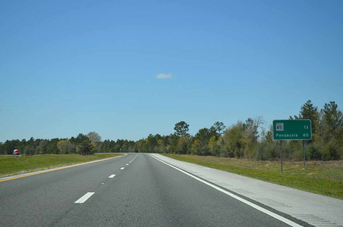
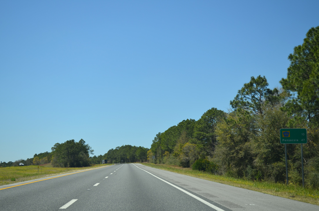
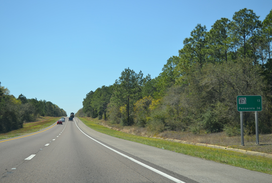
Distance sign posted 13 miles east of SR 85 at Crestview and 60 miles out from Pensacola.
03/26/13
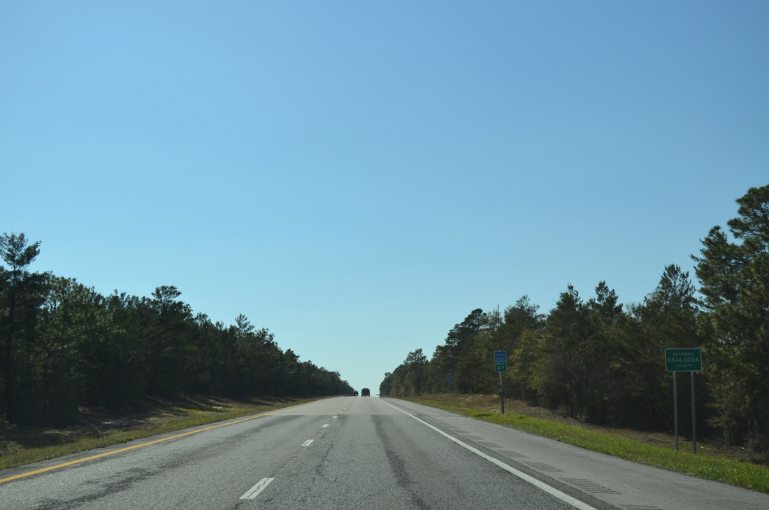
Interstate 10 travels 27.45 miles in Walton County and 24.55 miles in Okaloosa County.
03/03/13
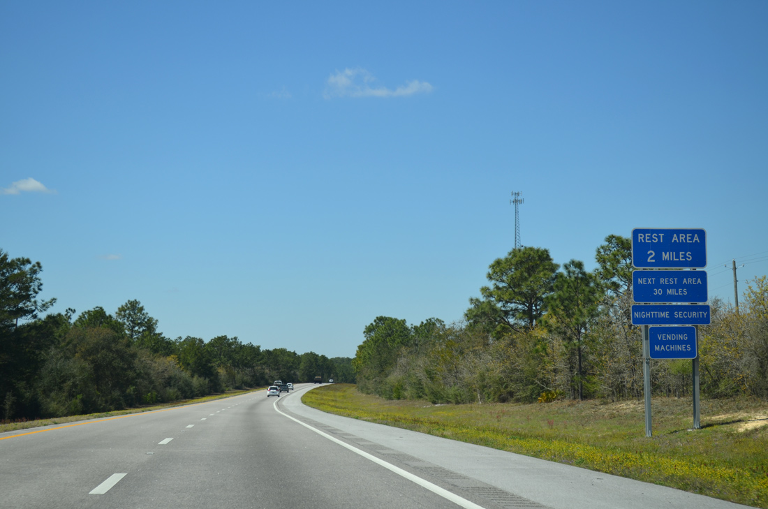
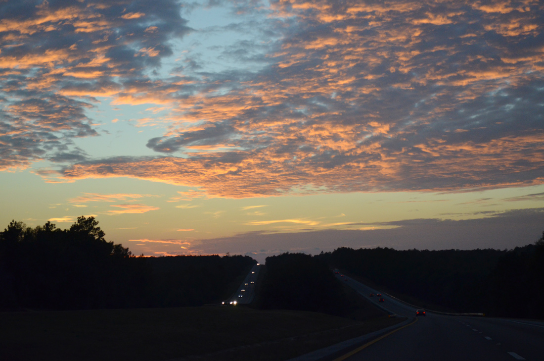
Rest areas line both sides of Interstate 10 east of the Shoal River.
03/26/13
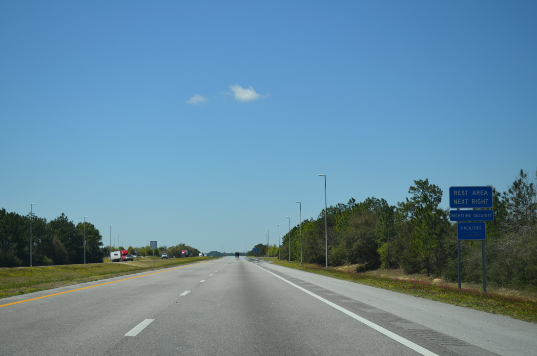
The rest area at mile marker 60 is the penultimate facility along westbound I-10 in Florida.
03/26/13
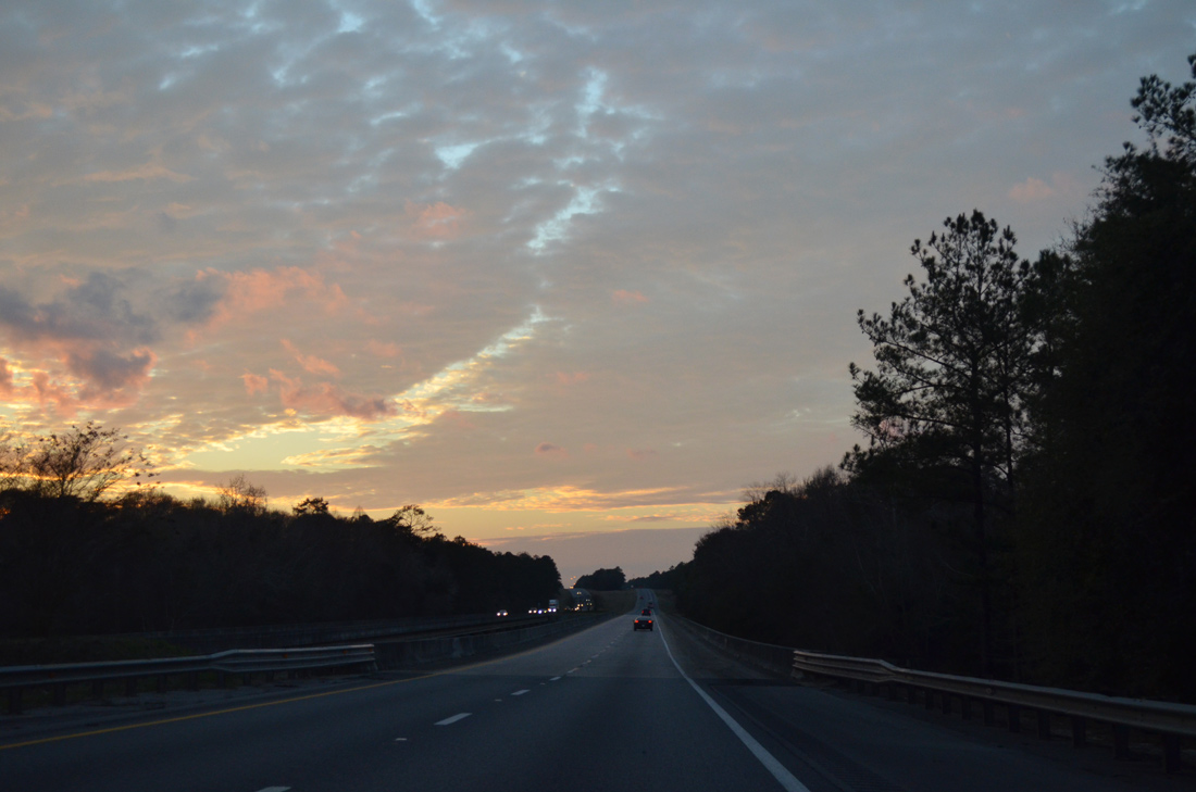
A tributary of the Yellow River, the Shoal River flows west from Walton County. The Yellow River represents the northern boundary of Eglin A.F.B. from near Crestview west to Blackwater Bay.
01/25/13
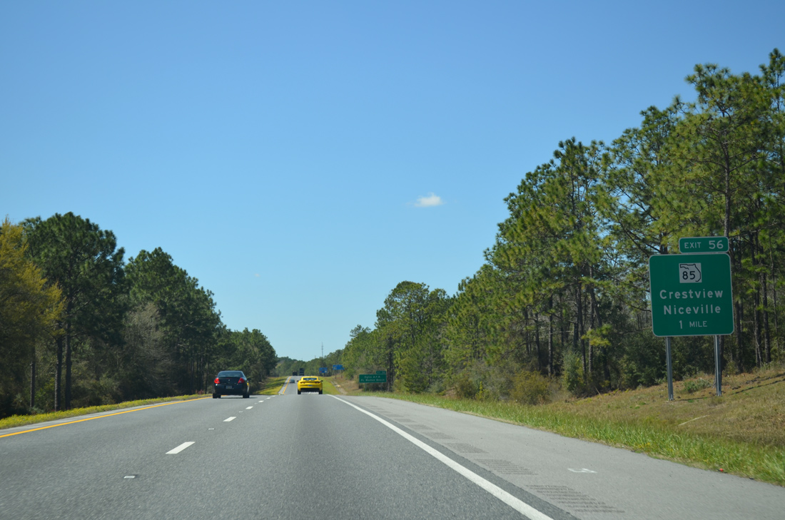
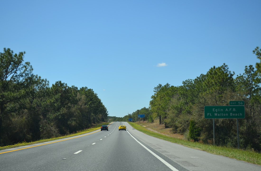
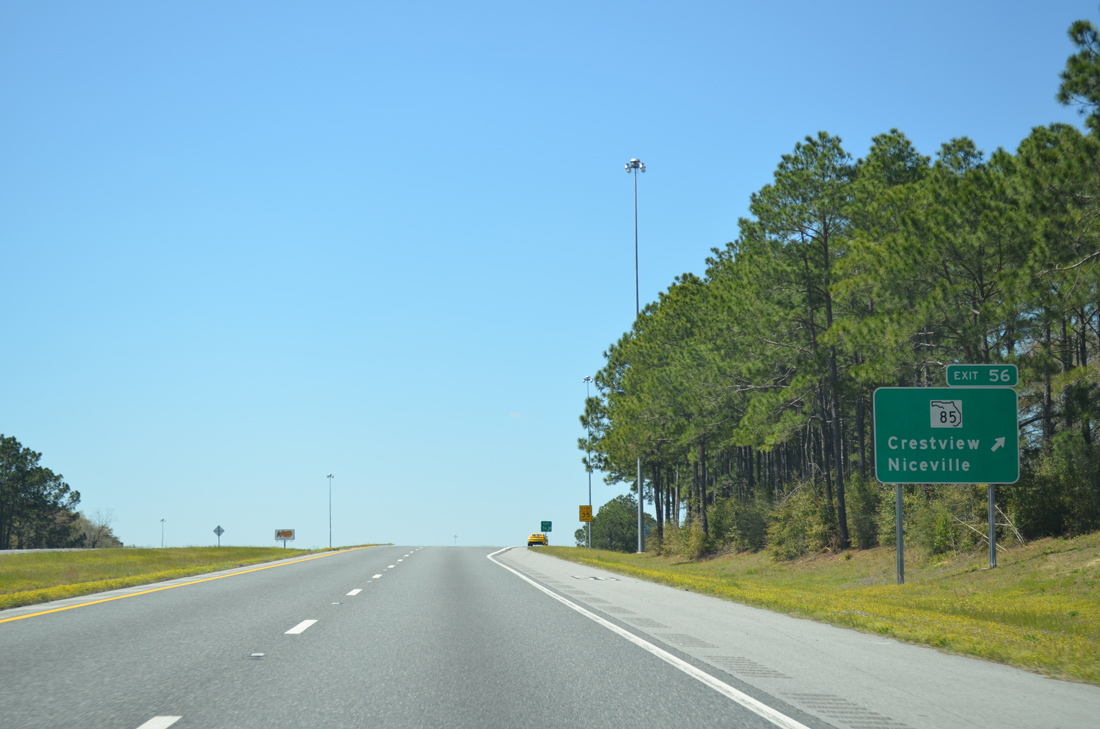
Entering the city of Crestview, I-10 advances one mile to the diamond interchange (Exit 56) with SR 85 (Ferdon Boulevard). SR 85 travels north to Downtown Crestview and south into Eglin Air Force Base ahead of Duke Field.
03/26/13
SR 85 travels south from Crestview through Eglin AFB twice to U.S. 98 in Fort Walton Beach. Points of interest include the Air Force Armament Museum and Northwest Florida State College.
03/26/13
Representing the main highway from coastal Okaloosa County north to Laurel Hill, SR 85 (Ferdon Boulevard) is a four to six lane highway south to Niceville and Fort Walton Beach. A PD&E Study through Summer 2022 evaluates widening SR 85 to six lanes south from I-10 to SR 123 and converting Exit 56 into a DDI.
03/26/13
Interstate 10 crosses Juniper Creek west of SR 85. A cluster of subdivisions abut the freeway from P.J. Adams Parkway to the south.
03/26/13
A PD&E Study County through August 2021 looks at the possibility of widening the remaining 35.083 miles of I-10 to six lanes between SR 85 and Pensacola.
03/26/13
Construction outlined in FY 2021 adds a new diamond interchange with an extension of P.J. Adams Parkway north to the planned Crestview Southwestern Bypass.
05/31/04
Interstate 10 drops 100 feet in elevation to cross the Yellow River beyond the Crestview city limits.
05/31/04
The roadways for Interstate 10 separate west of Wilkinson Creek and south of Galliver.
01/25/13
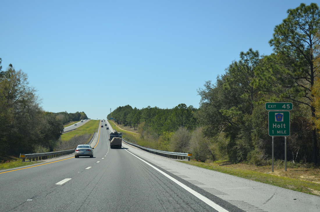
Meeting I-10 at Exit 45 in one mile, County Road 189 (Log Lake Road) constitutes a 2.03 mile spur south from U.S. 90 (Old Spanish Trail) at Holt.
03/26/13
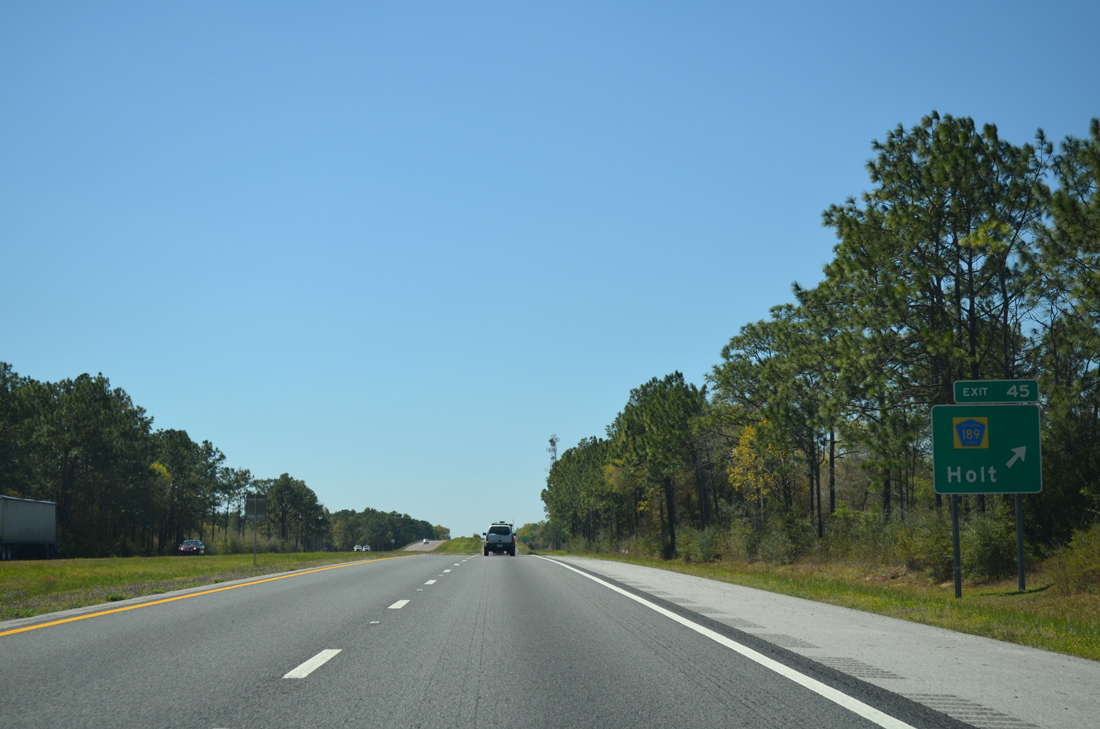
Exit 45 leaves Interstate 10 west for CR 189 (Log Lake Road) and the unincorporated community of Holt. A second branch of CR 189 connects U.S. 90 at Galliver with SR 4 near Baker. U.S. 90 continues west from Holt to Blackwater State Forest and Harold.
03/26/13
A 13.3 mile exit less stretch commences along Interstate 10 west from the entrance ramp at Exit 45 to Exit 31 with State Road 87.
03/26/13
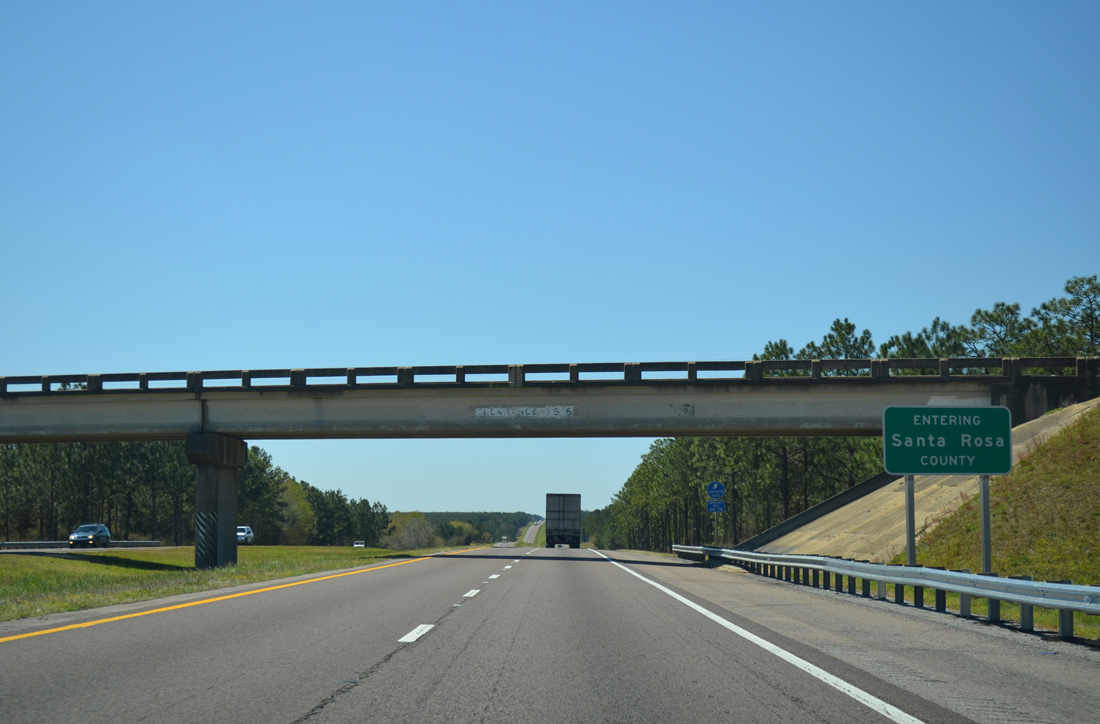
Garner Landing Road spans Interstate 10 at the Santa Rosa County line near Floridale.
03/26/13

Photo Credits:
- Brent Ivy: 03/03/13
- ABRoads: 01/25/13
- Alex Nitzman: 05/31/04, 03/26/13
Connect with:
Page Updated Monday November 30, 2020.