
Business Loop I-10 - Blythe

Business Loop I-10 at Blythe begins east from Interstate 10 at Exit 236 for SR 78 (Neighbors Boulevard). The route lines Neighbors Boulevard north to the end of state maintenance at Hobson Way. Turning east along Hobson Way, the historic route of U.S. 60/70, the business route proceeds across the city of Blythe.
Business Loop I-10 returns to I-10 near the Colorado River at the Riviera Drive interchange (Exit 243). Passing below the Colorado River Bridge, the route hooks west at Queshan Park to the entrance ramp by F Canal.
Business Loop I-10 at Blythe is not listed in the 1991 state signing log. The business route remains signed in both directions from mainline Interstate 10, but is only marked along Neighbors Boulevard to the west.
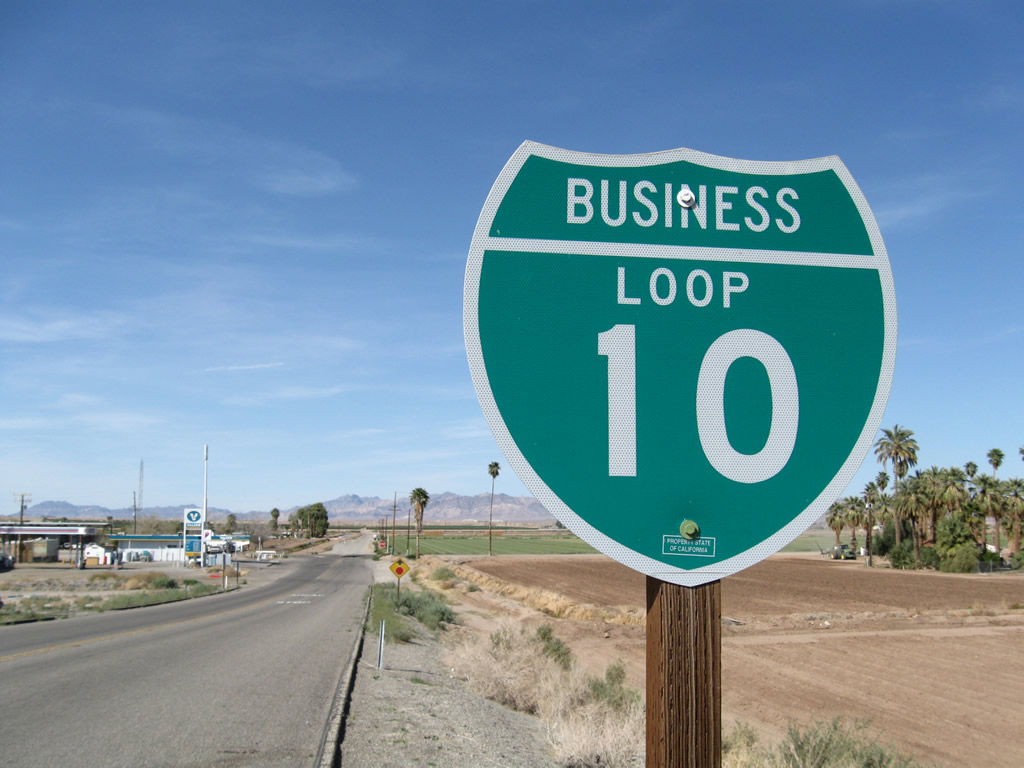
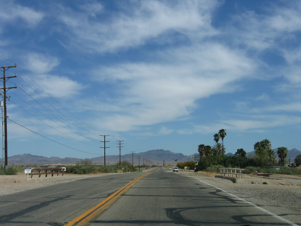
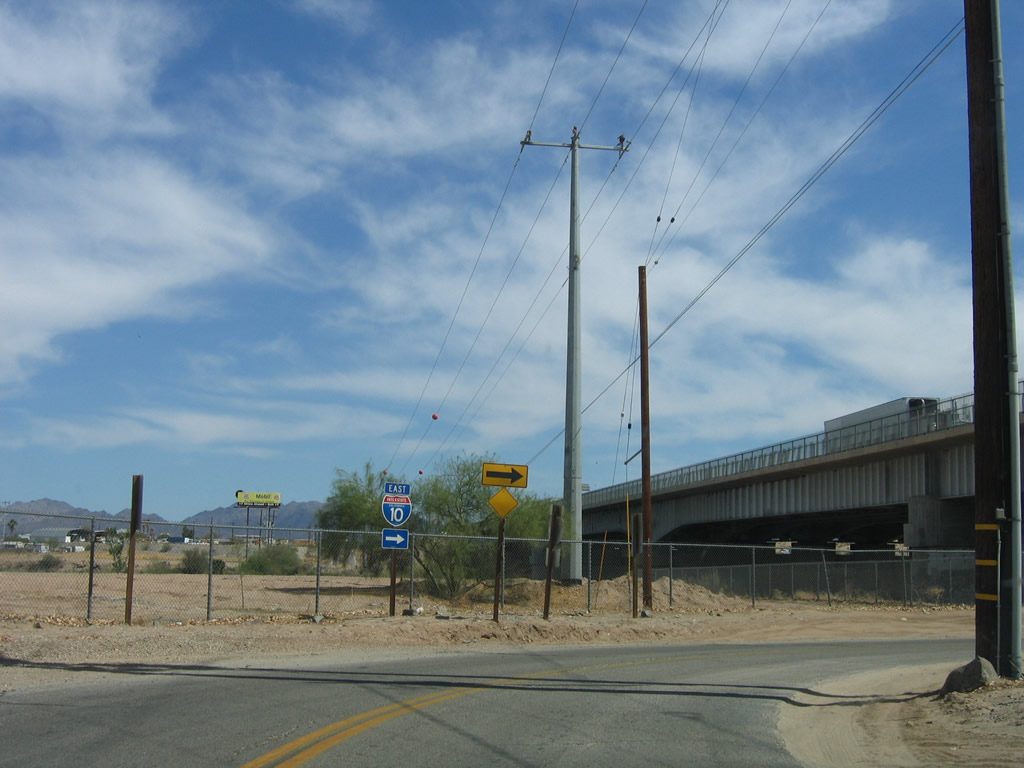
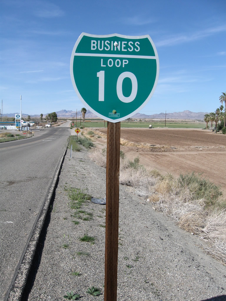
Business Loop I-10 extends 0.21 miles north along Neighbors Boulevard from the diamond interchange joining I-10 with east end of SR 78 in western Blythe.
03/14/09
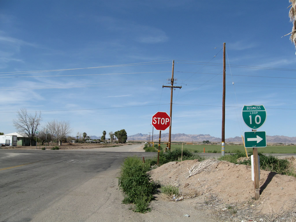
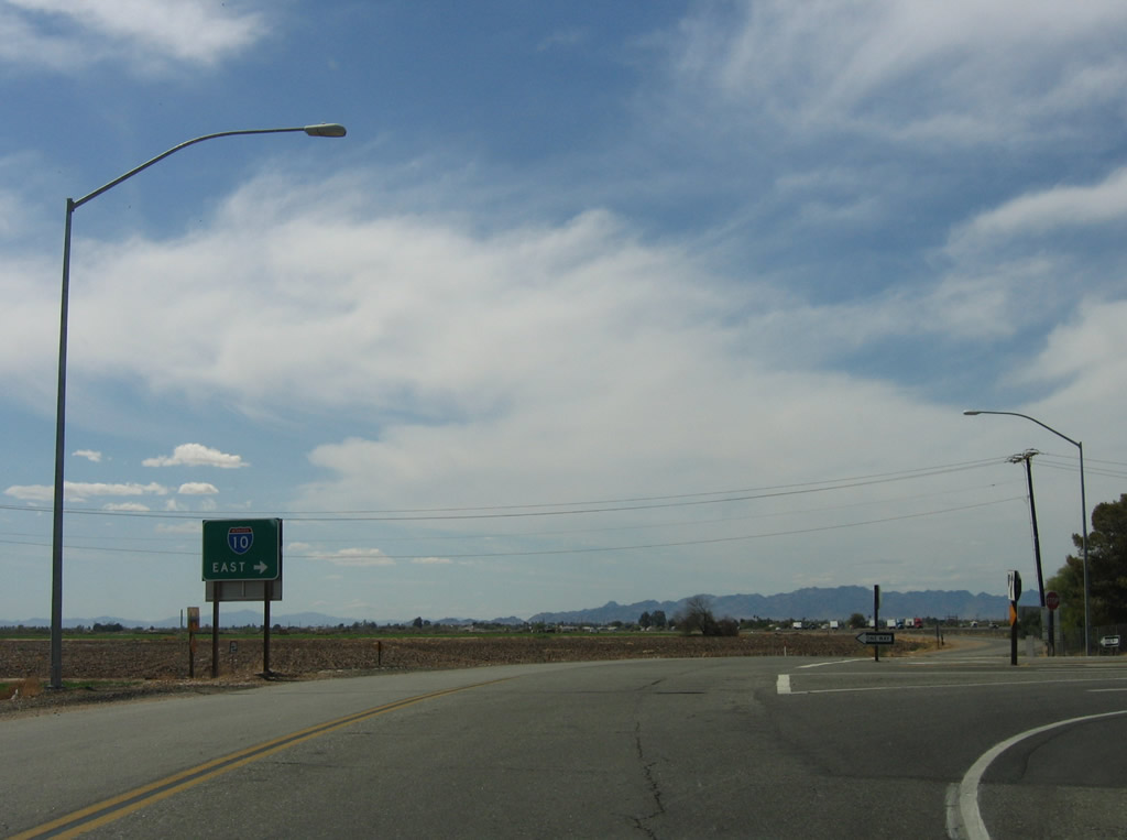
Business Loop I-10 turns east from Neighbors Boulevard onto Hobson Way (Old U.S. 60-70) at the west end of Palo Verde Valley. Hobson Way continues west onto Palo Verde Mesa en route to I-10 at Mesa Verde.
03/14/09
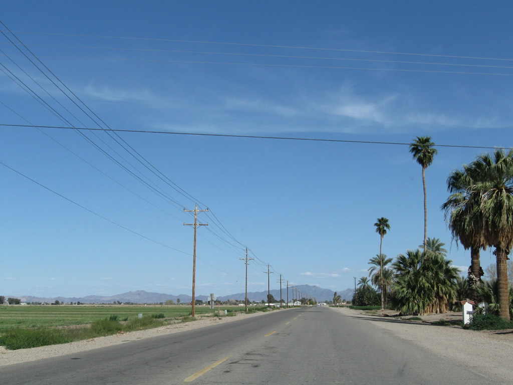
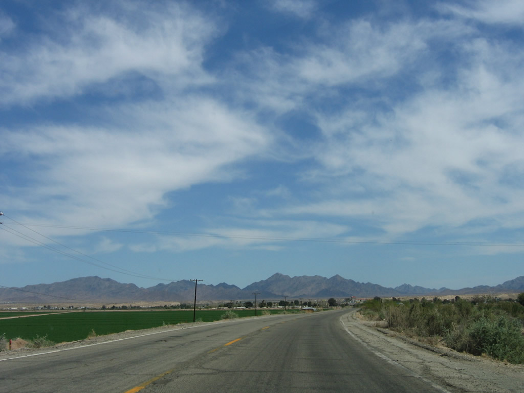
Eastbound Business Loop I-10 initially follows Hobson Way across agricultural areas in the fertile Palo Verde Valley.
03/14/09
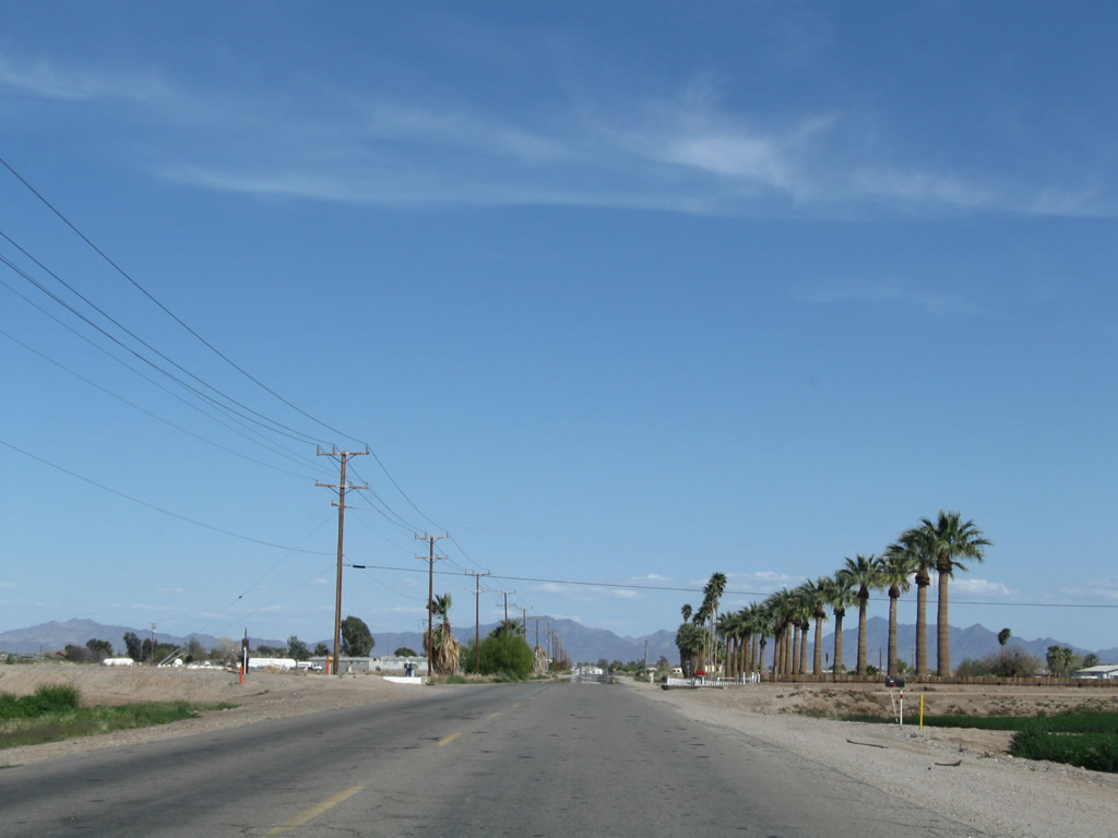
Hobson Way crosses two canals east ahead of Arrowhead Boulevard.
03/14/09
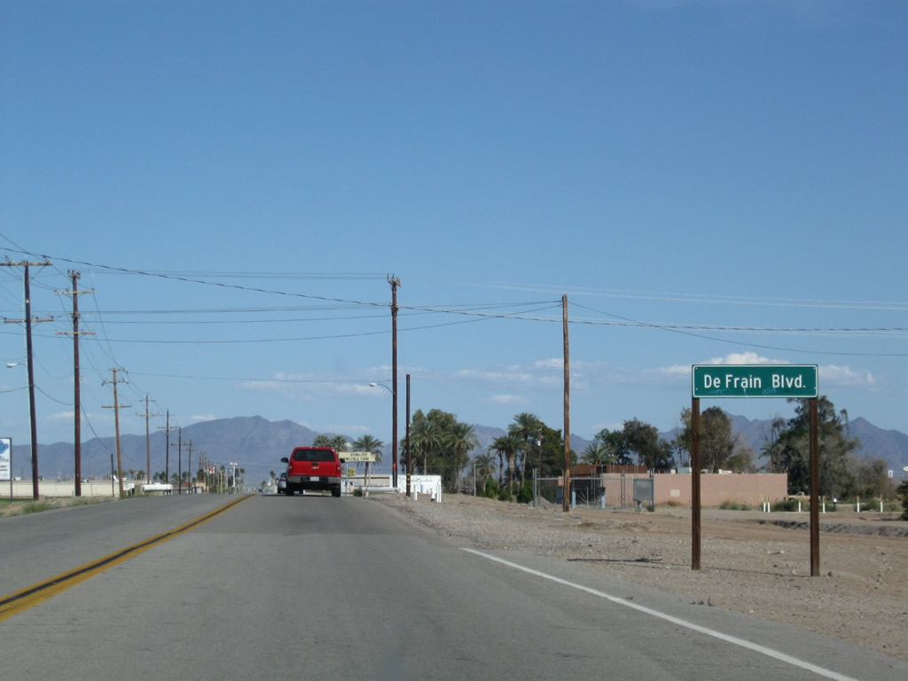
C-05 Canal parallels Business Loop I-10 (Hobson Way) east to DeFrain Boulevard.
03/14/09
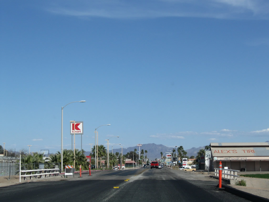
Business Loop I-10 (Hobson Way) crosses C Canal ahead of a shopping center on the north side of Hobson Way.
03/14/09
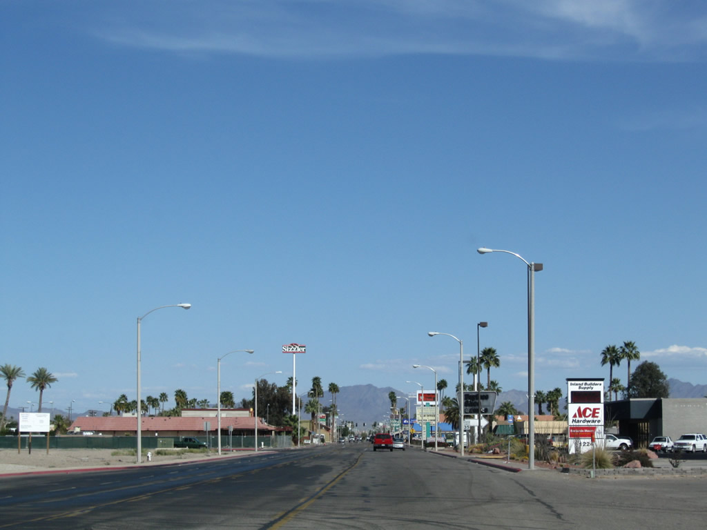
Hobson Way widens to four lanes east at Carlton Avenue.
03/14/09
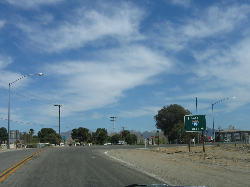
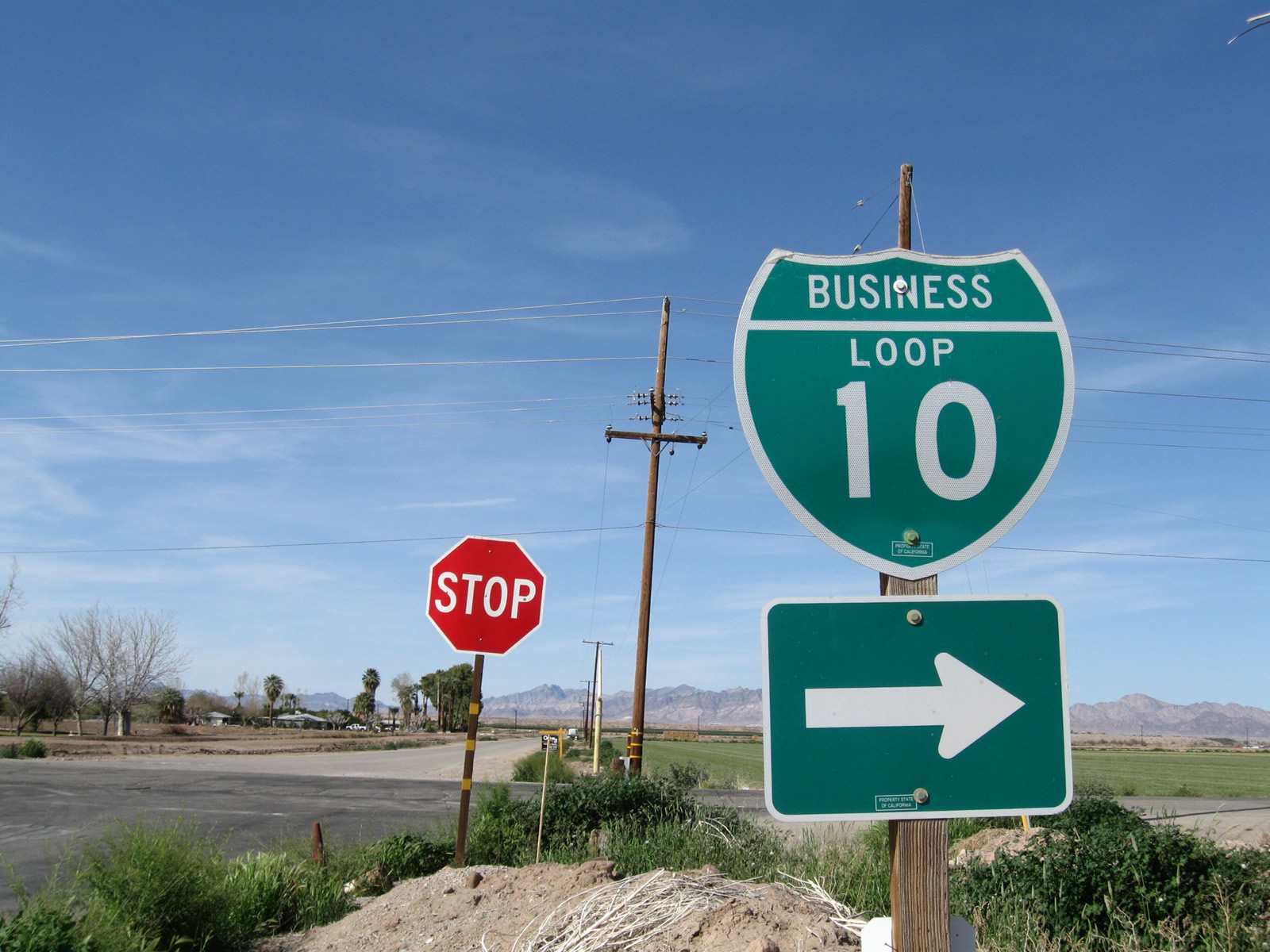
An Interstate 10 trailblazer references the diamond interchange joining Lovekin Boulevard with Interstate 10 at Exit 239.
03/14/09
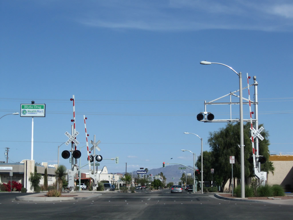
Hobson Way crosses the ARZC Railroad at-grade between Commercial Street and Main Street.
03/14/09
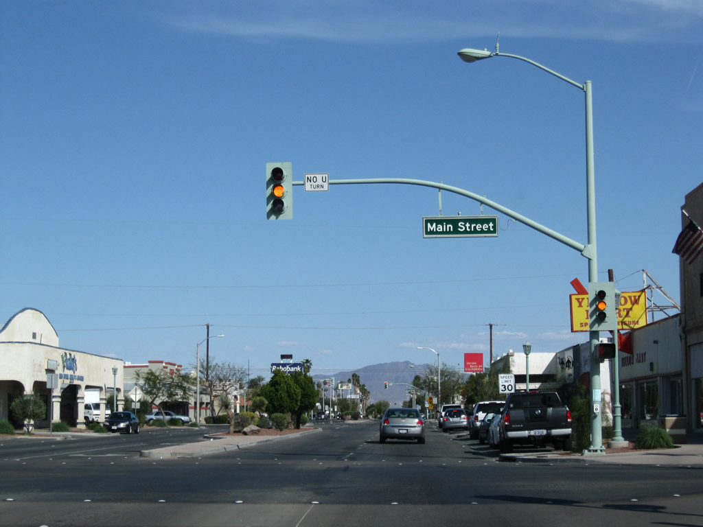
Eastbound Business Loop I-10 (Hobson Way) enters Downtown Blythe at Main Street.
03/14/09
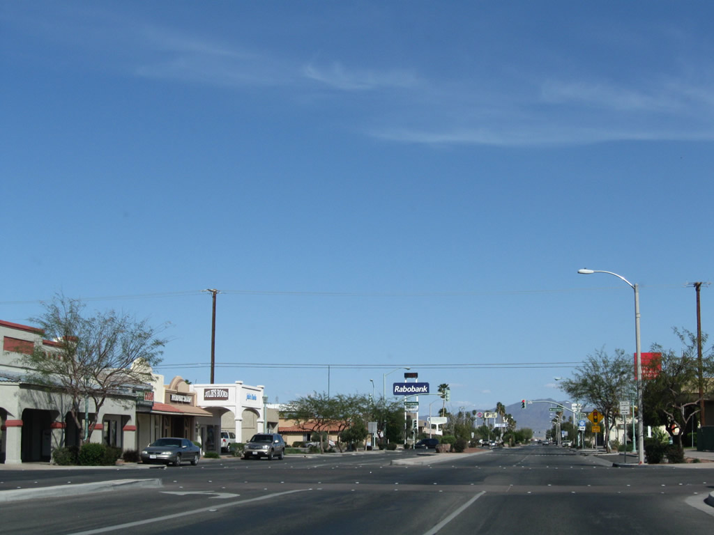
Hobson Way at Spring Street in Downtown Blythe.
03/14/09
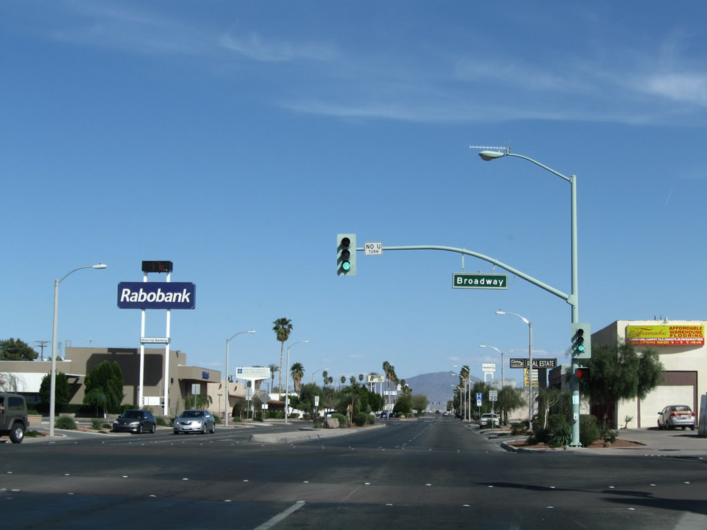
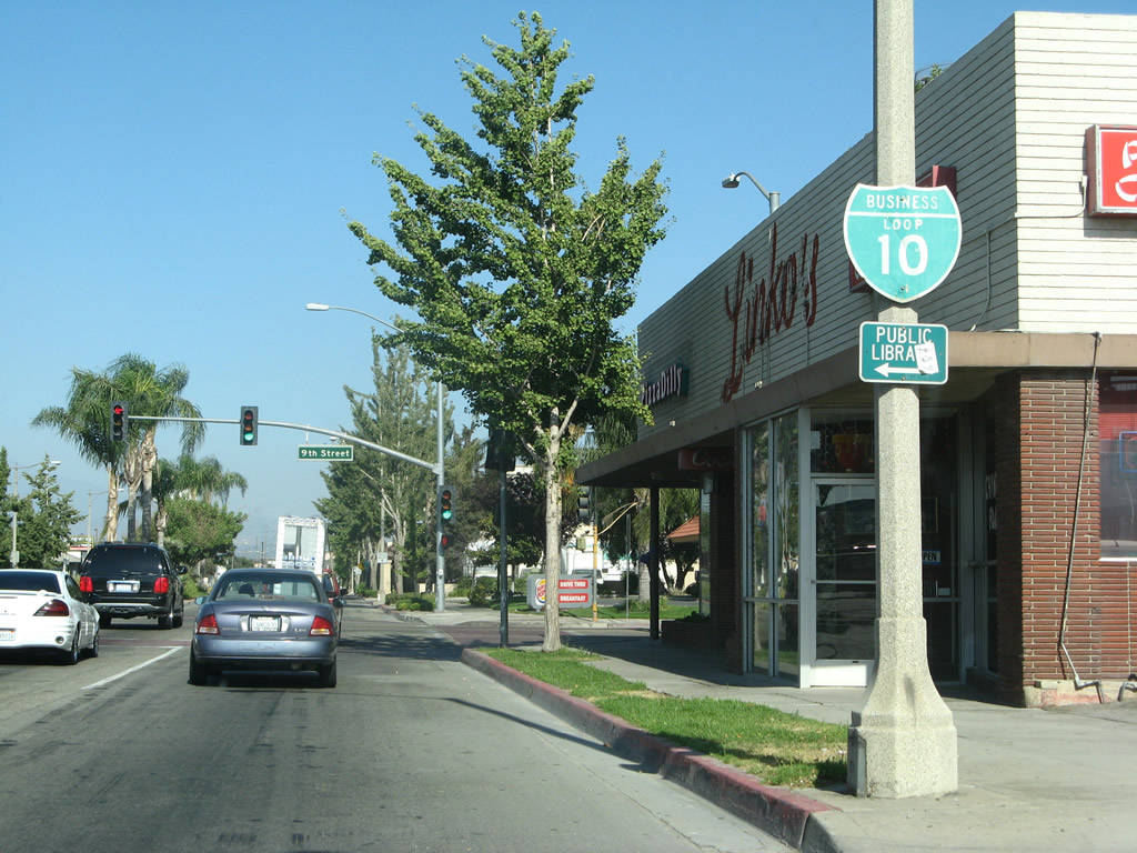
The succeeding traffic light on Business Loop I-10 (Hobson Way) east is with Broadway.
03/14/09
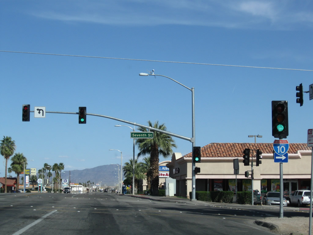
Seventh Street intersects Hobson Way three blocks north of the diamond interchange along Inerstate 10 at Exit 240.
03/14/09
Neon signs for Blue Line Motel and Trailer Park. More hotels, restaurants, shops, and other facilities line Hobson Way on the east side of Blythe.
03/14/09
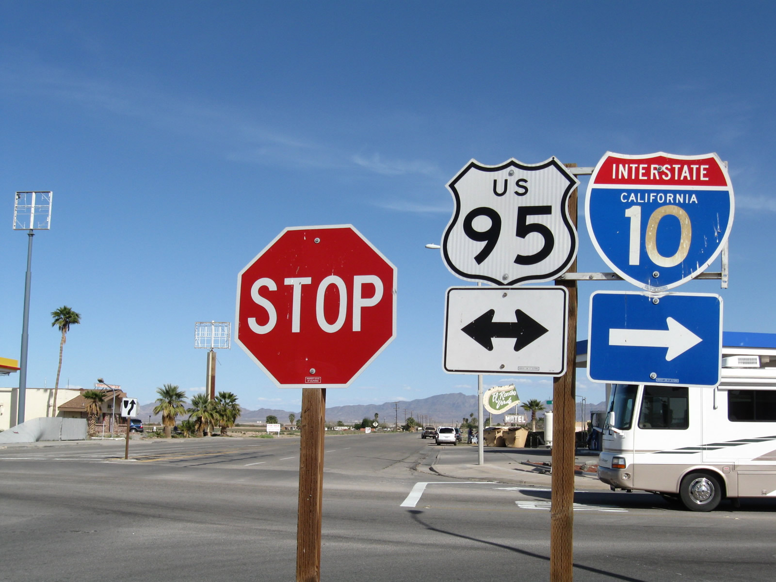
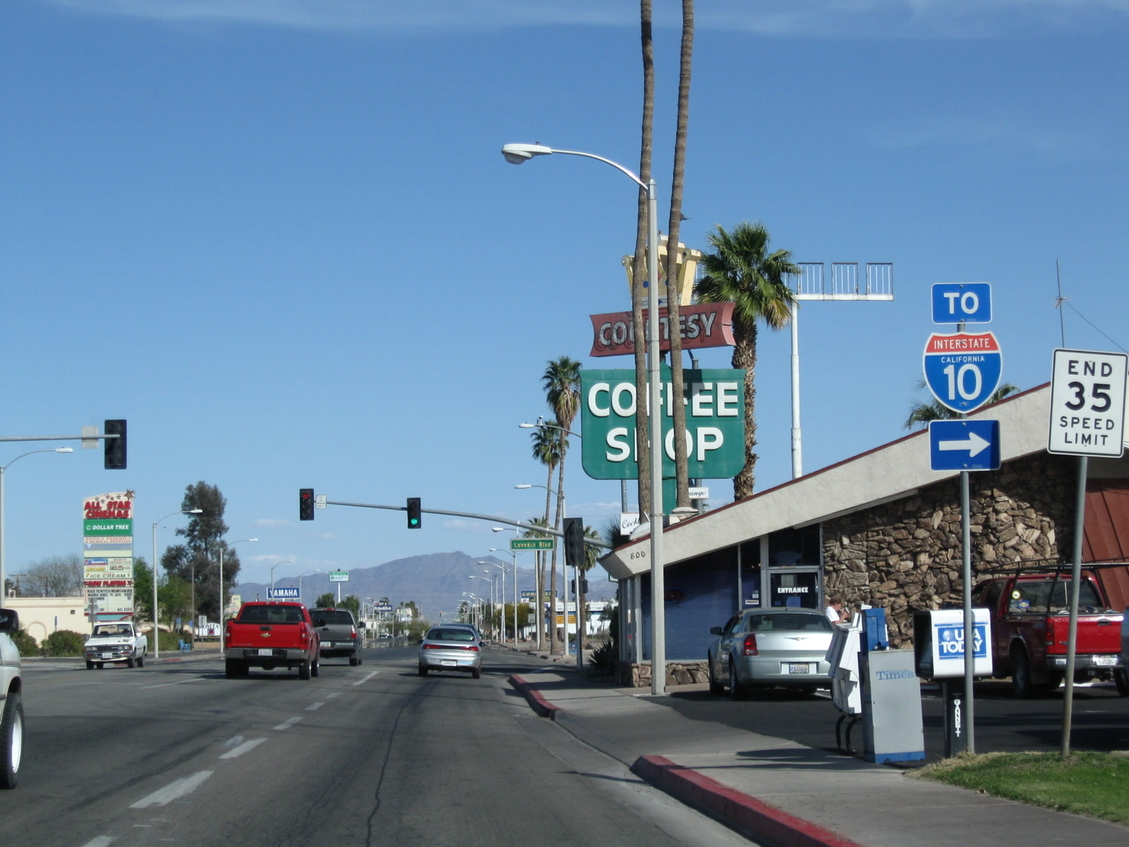
Historic U.S. 60-70 (Hobson Way) meets U.S. 95 (Intake Boulevard) at this stop sign. U.S. 95 travels north from Intertate 10 at Blythe to Vidal Junction and Needles. The highway south overlaps with I-10 east to Quartzsite, Arizona.
03/14/09
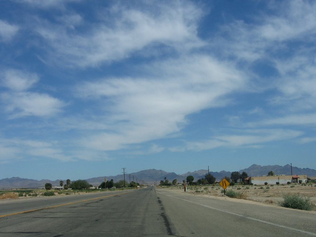
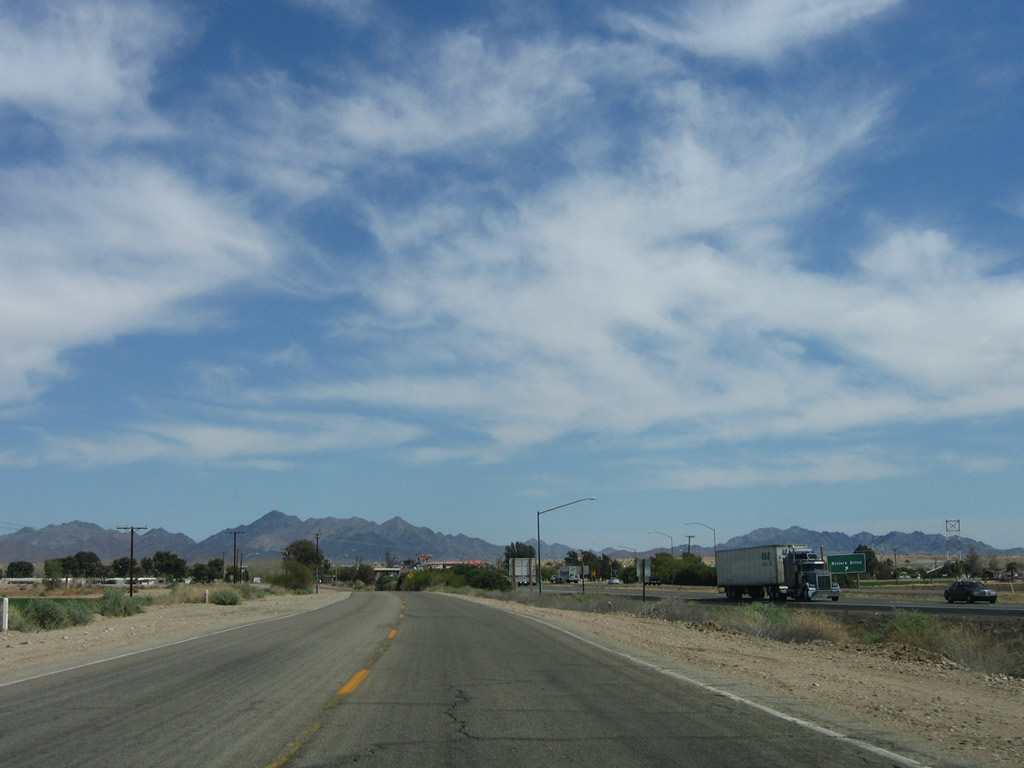
Hobson Way reduces to two lanes east of U.S. 95 and Business Loop I-10 transitions into a rural highway for the eventual reconnection with Interstate 10. There are no shields for the remainder of the route.
03/14/09
Leaving the developed area of Blythe, eastbound Business Loop I-10 (Hobson Way) crosses D-10 Canal through more agricultural areas in Palo Verde Valley.
04/01/06
Hobson Way curves southward toward Interstate 10 across agricultural development beyond Olive Lake Boulevard.
04/01/06
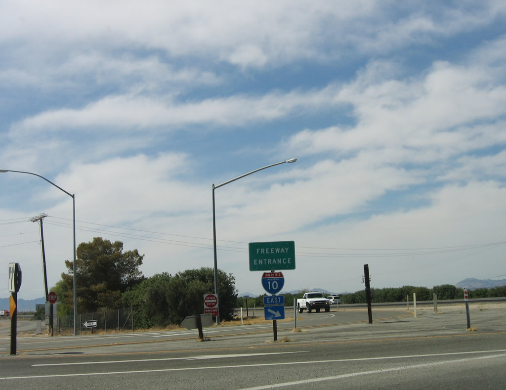
Connector Road and new ramps with westbound Interstate 10 were added by 2018 near I-10 at postmile 155.50 to eliminate the right in right out (RIRO) ramps further east at the California Agricultural Inspection Station.
04/01/06
The original RIRO ramps linked the east end of Business Loop I-10 (Hobson Way) with westbound I-10 adjacent to the California Agricultural Inspection Station.
04/01/06
Business Loop I-10 (Riveria Drive) turns south to pass under Interstate 10 at Quechan Park. Historically, the crossing of the Colorado River between Blythe and Ehrenberg was accomplished via a ferry. In the late 1920s, the ferry was replaced by a two-lane bridge, but the bridge was removed after the modern Interstate 10 bridge opened in 1960.
04/01/06
Business Loop I-10 east ends at the point where Riviera Drive meets the entrance ramp to Interstate 10 east to Ehrenberg, Quartzsite and Phoenix, Arizona.
04/01/06
RIRO ramps links Riviera Drive with eastbound Interstate 10 across from the California Agricultural Inspection Station.
04/01/06
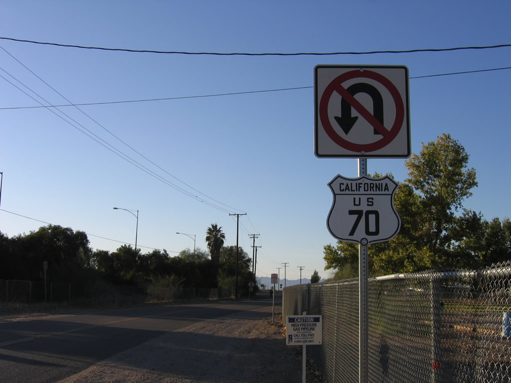
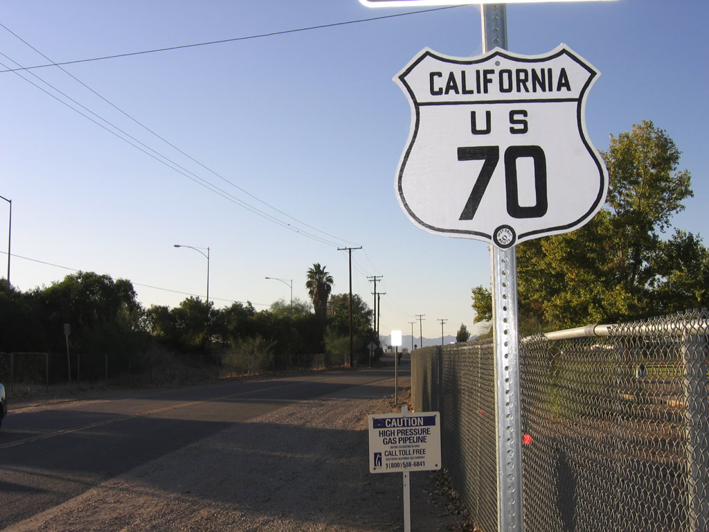
A historic U.S. 70 shield was temporarily posted along Riviera Drive at Quechan Park adjacent to the Colorado River bridge along Interstate 10. Business Loop I-10 begins 0.9 miles to the west via Connector Road north to Hobson Way.
11/10/06
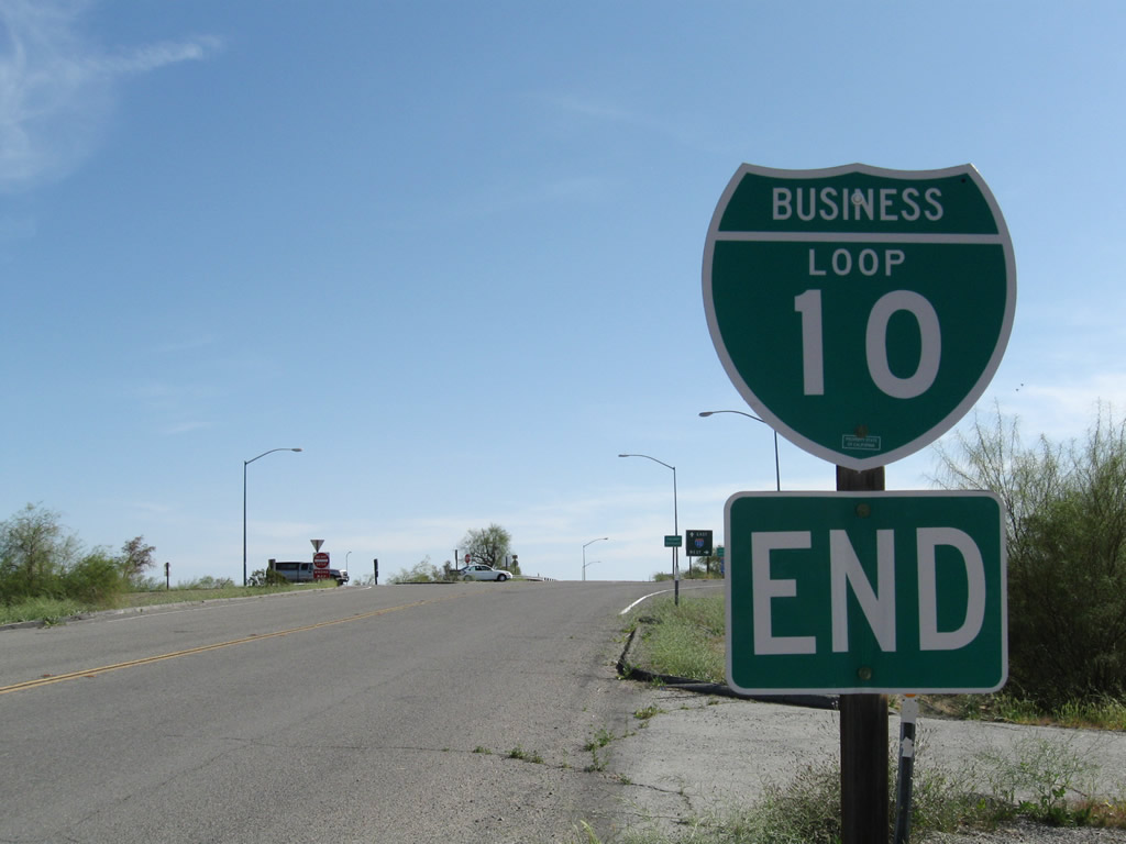
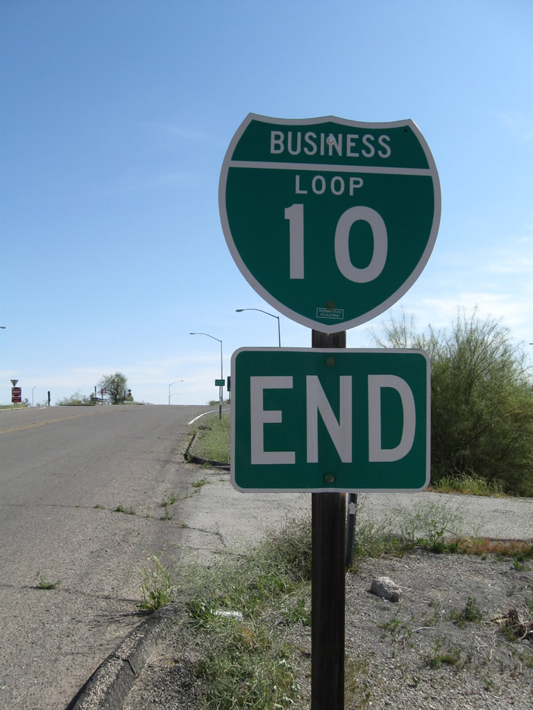
The lone shield posted along Business Loop I-10 westbound was the end shield at the diamond interchange joining SR 78 (Neighbors Boulevard) with Interstate 10 in western Blythe. The assembly was replaced with a shield for SR 78 west by 2024.
03/14/09
Business Loop I-10 west concludes at the westbound entrance ramp for Interstate 10 to Indio. SR 78 heads south from Blythe to Ripley and Palo Verde.
03/14/09
Photo Credits:
- Andy Field: 04/01/06, 11/10/06, 03/14/09
Connect with:
Page Updated Thursday March 14, 2013.