
Former Business Loop I-10 East - Indio to Coachella

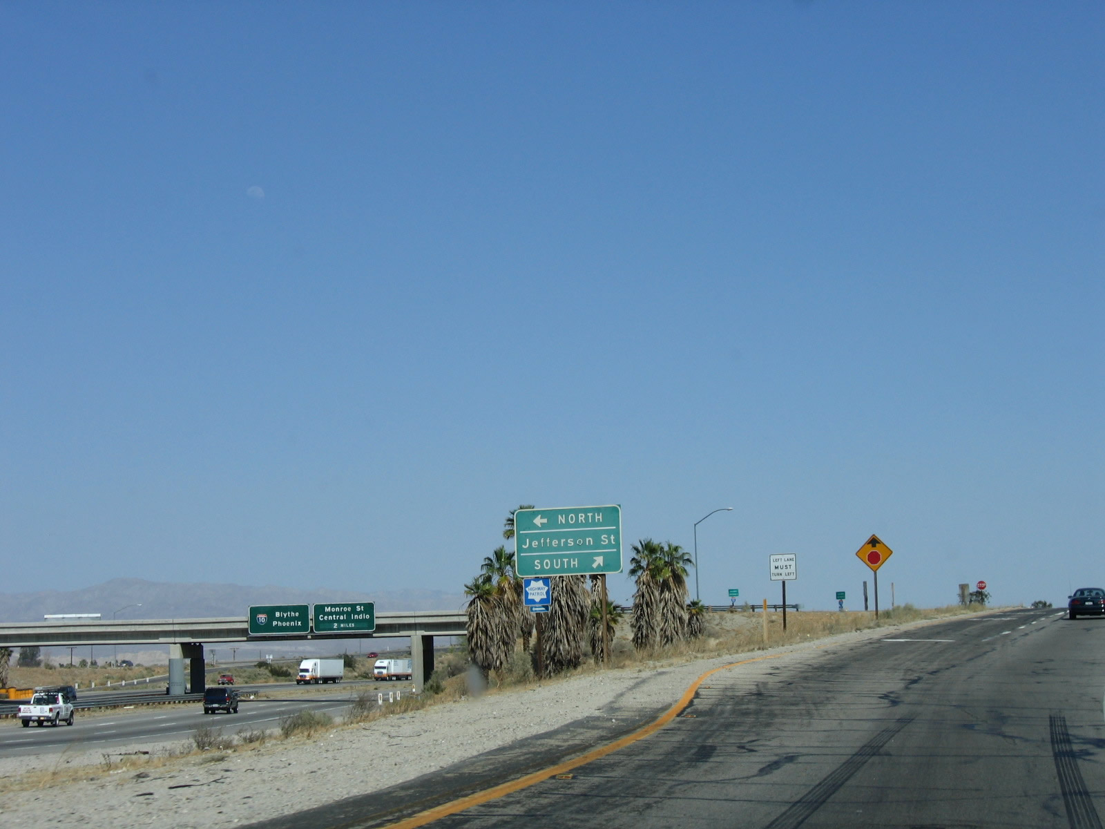
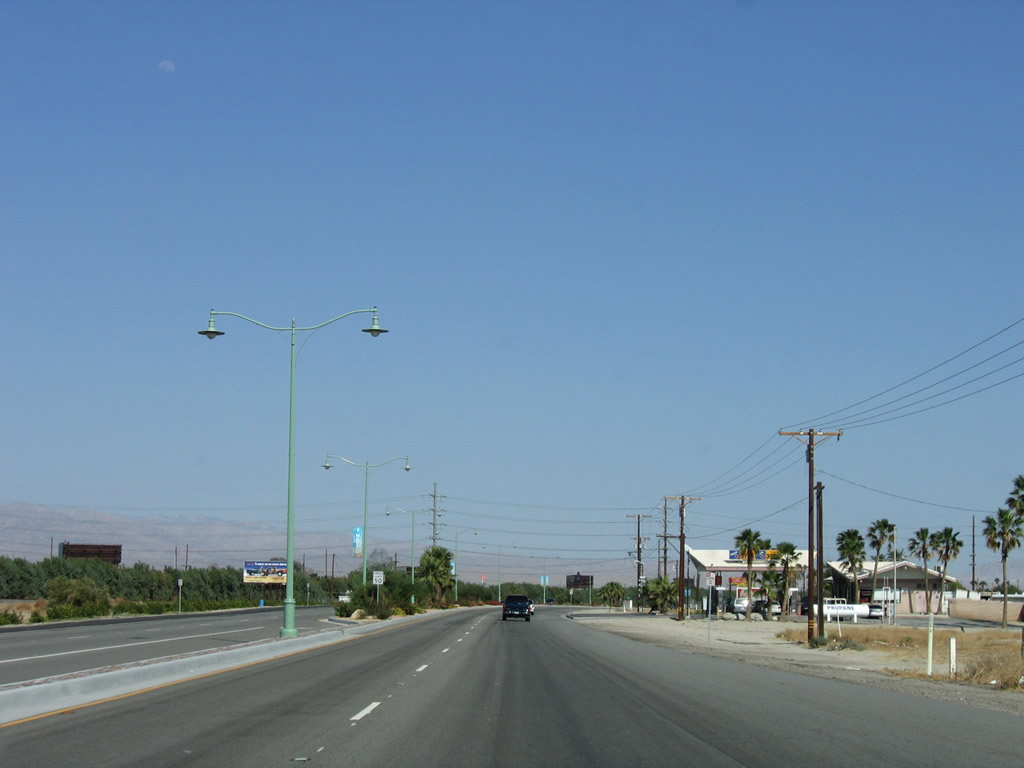
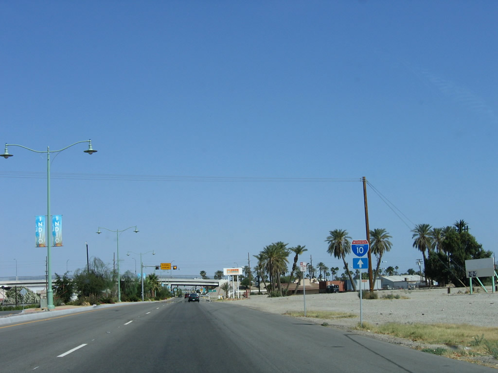
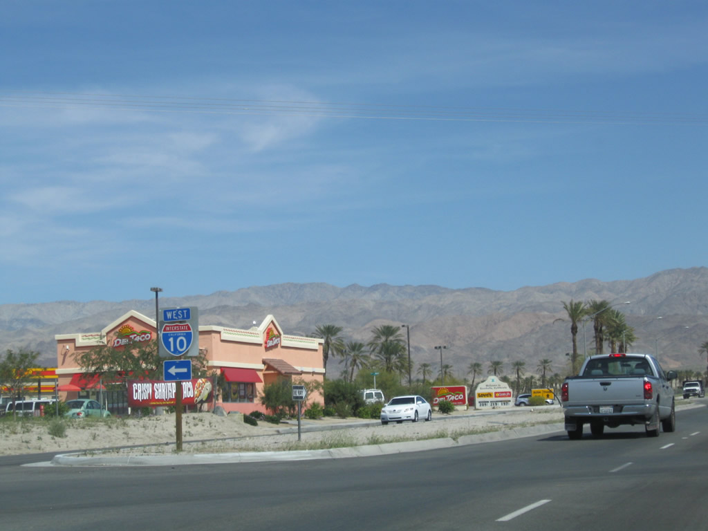
2015-17 construction replaced the modified diamond interchange (Exit 139) joining I-10 with Indio Boulevard. Indio Boulevard commenced east from Exit 139 in the old configuration. The new parclo interchange connects with Jefferson Street, which was extended south over Indio Boulevard.
05/07/06
The ramp leading directly onto Indio Boulevard was replaced with a sweeping ramp tieing into an S-curve along Jefferson Street. Indio Boulevard commences east a half mile from Exit 139 from the turn of Jefferson Street south.
05/07/06
The separate roadways for Indio Boulevard south of I-10 were repalced with a five-lane roadway for Jefferson Street.
05/07/06
The original southbound bridge taking Business Loop I-10 (Indio Boulevard) across the Union Pacific Railroad was built in 1956 while the companion northbound span dated from 1936.
05/07/06
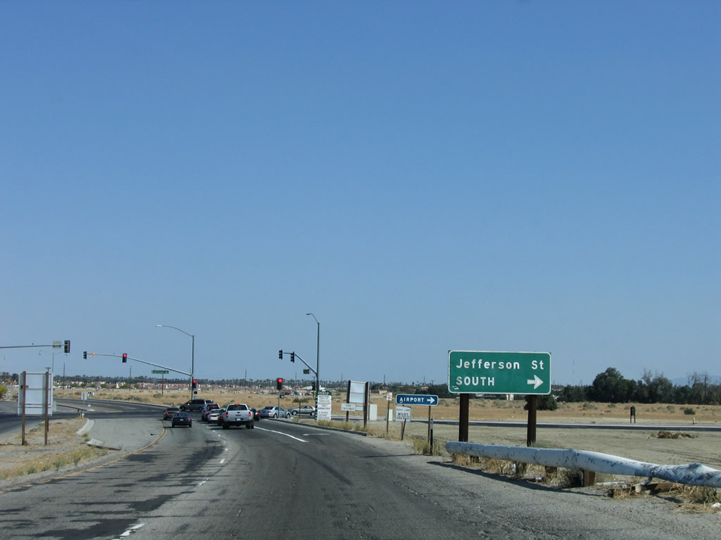
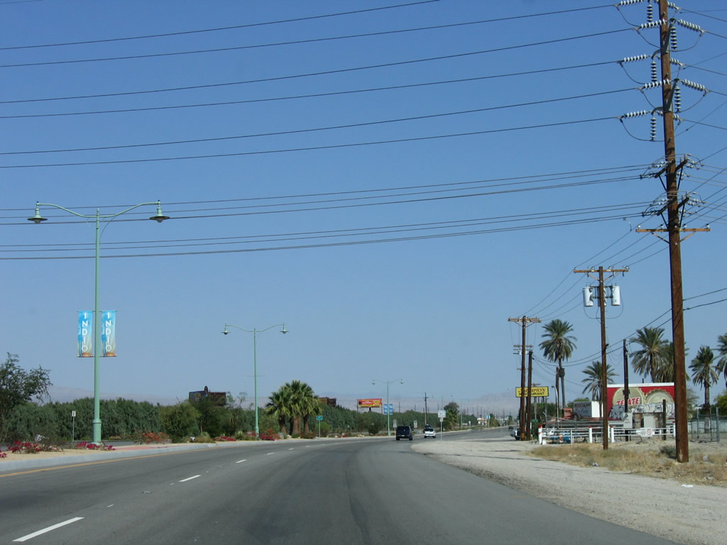
Jefferson Street continues south from a signalized intersection with Indio Boulevard to La Quinta.
05/07/06
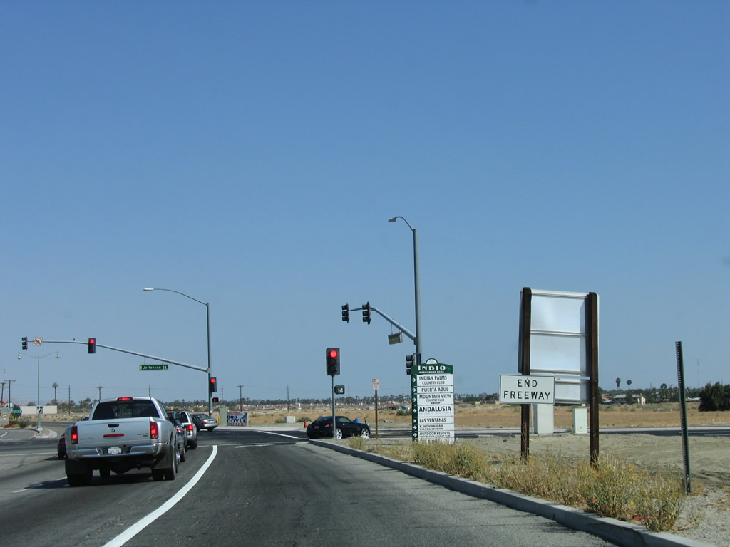
An end freeway sign was posted along eastbound Business Loop I-10 (Indio Boulevard) where Jefferson Street previously resumed south.
05/07/06
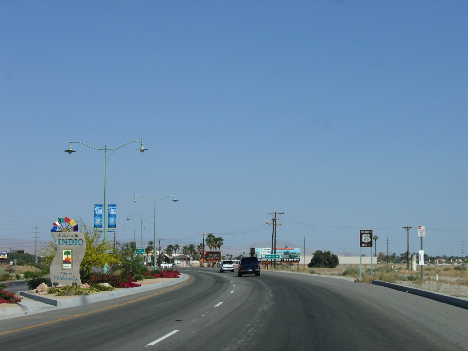
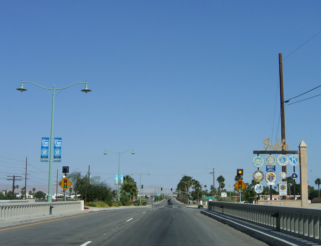
A welcome monument sign proclaiming Indio to be the "City of Festivals" appears within the landscaped median along Indio Boulevard east of Jefferson Street.
05/07/06
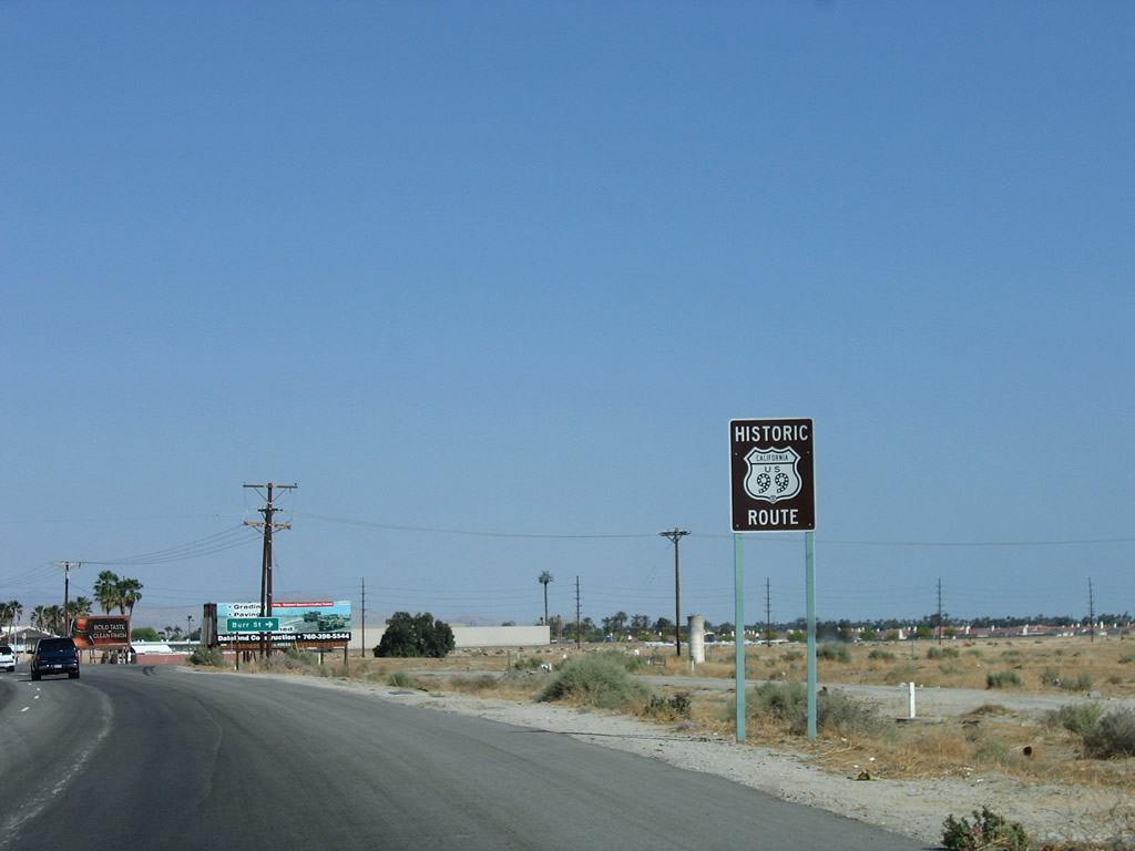
Removed by 2017, thiis Historic U.S. 99 sign preceded the intersection with Burr Street. U.S. 99 is an officially designated historic route within the state of California, joining a a select group of decommissioned U.S. highways that share that honor. Other official historic routes with similiar signs include U.S. 101 in San Diego County, U.S. 6 in Los Angeles County, U.S. 80 in Imperial and San Diego Counties, and U.S. 40 across Northern California.
05/07/06
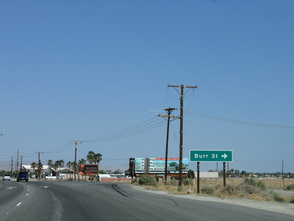
Burr Street stems south from Indio BOulevard to Fred Waring Drive and the Heritage Palms Golf Club community.
05/07/06
Antique-style street lights line the center median of Indio Boulevard.
05/07/06
A set of Imperial Irrigation District power lines cross over Indio Boulevard beside Coachella Canal.
05/07/06
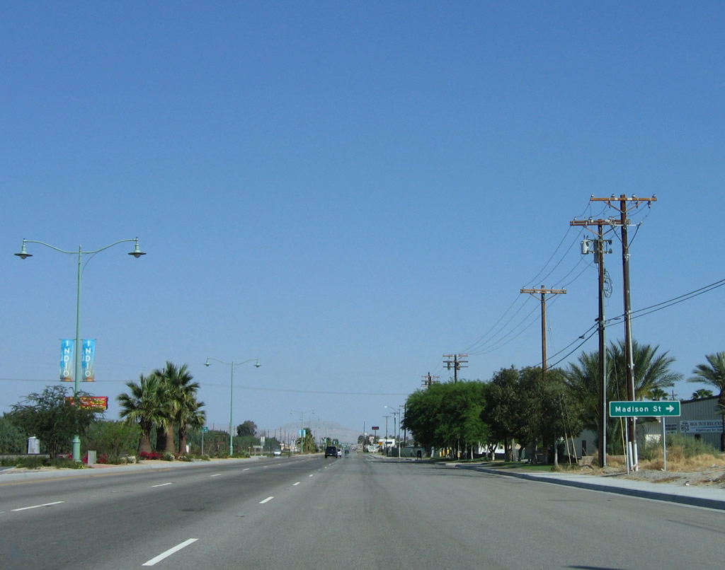
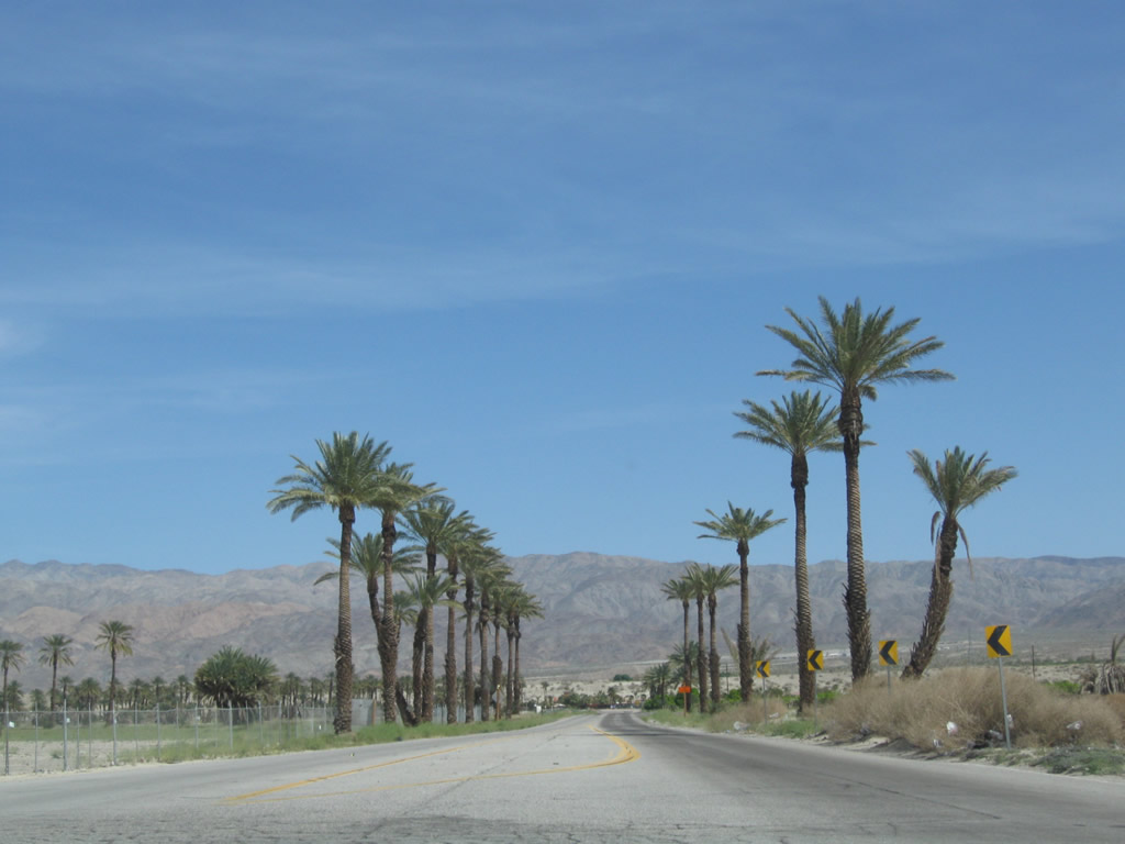
Indio Boulevard parallels the Union Pacific Railroad southeast from ahead of Madison Street. Indio Boulevard was originally built as an expressway toward Downtown Indio, but its high-speed aspects have diminished as the roadway transitioned into a four-lane arterial with adjacent business access points.
05/07/06
Indio Boulevard eastbound spans the Whitewater River. This concrete tee beam bridge (16 spans) carries the eastbound lanes over the river. It was built in 1925 and was expanded in 1955 to its current configuration. The westbound lanes use a separate, concrete tee beam span that was built in 1956.
05/07/06
The Whitewater River spans the length of the Coachella Valley, originating near San Gorgonio Pass and traveling southeast parallel to both SR 111 and I-10 toward the Salton Sea, where it terminates.
05/07/06
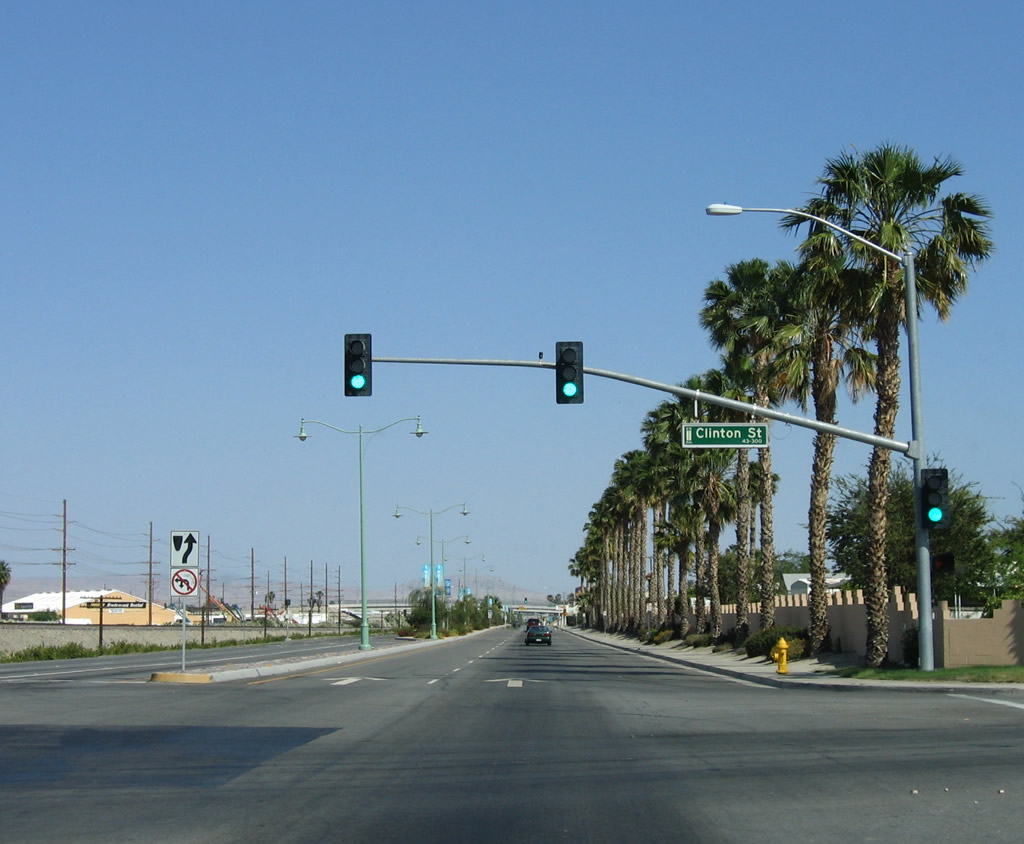
Clinton Street heads south from the succeeding traffic light on Indio Boulevard to Arabian Gardens Mobile Estates and other neighborhoods to SR 111.
05/07/06
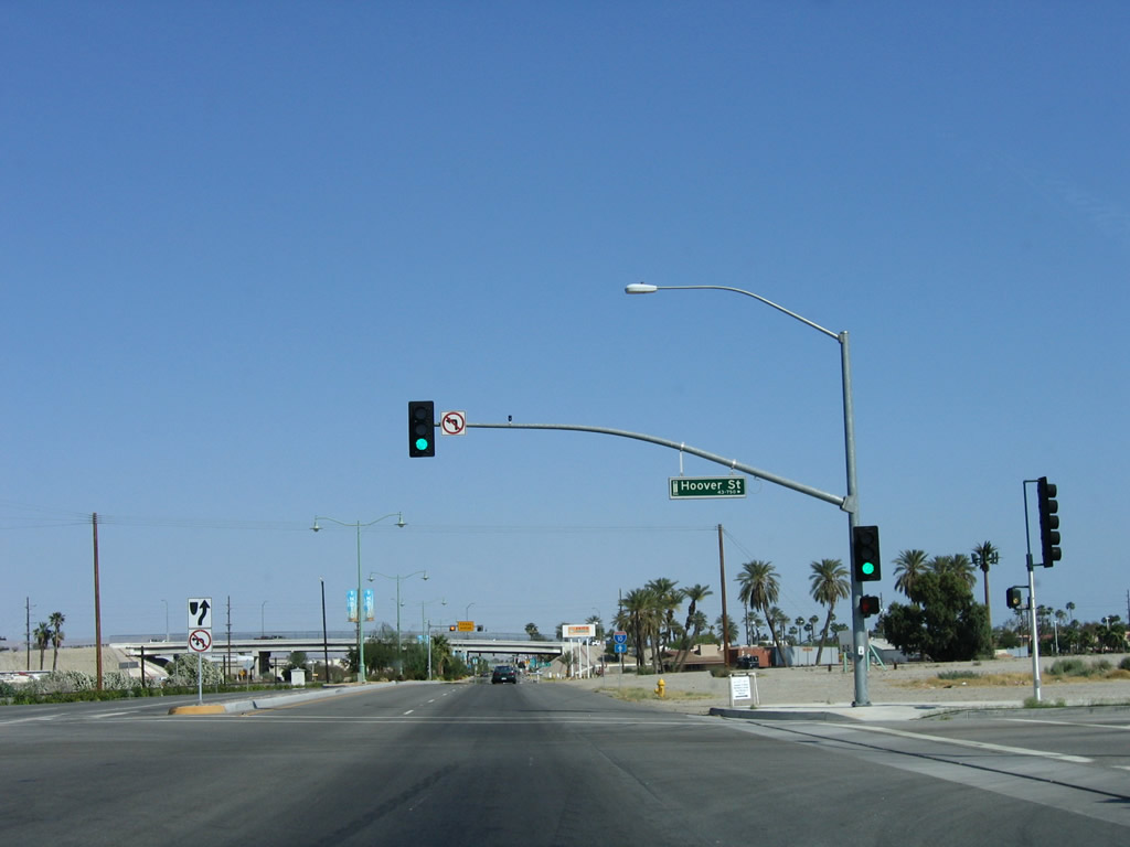
Business Loop I-10 (Indio Boulevard) east meets Hoover Street, which becomes Hoover Avenue east beyond Fred Waring Drive.
05/07/06
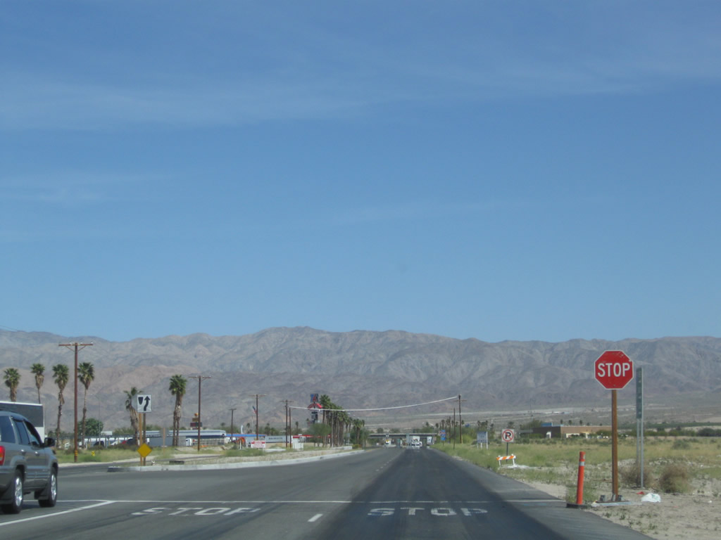
Forthcoming Monroe Street connects Indio Boulevard with Interstate 10 at Exit 142.
05/07/06
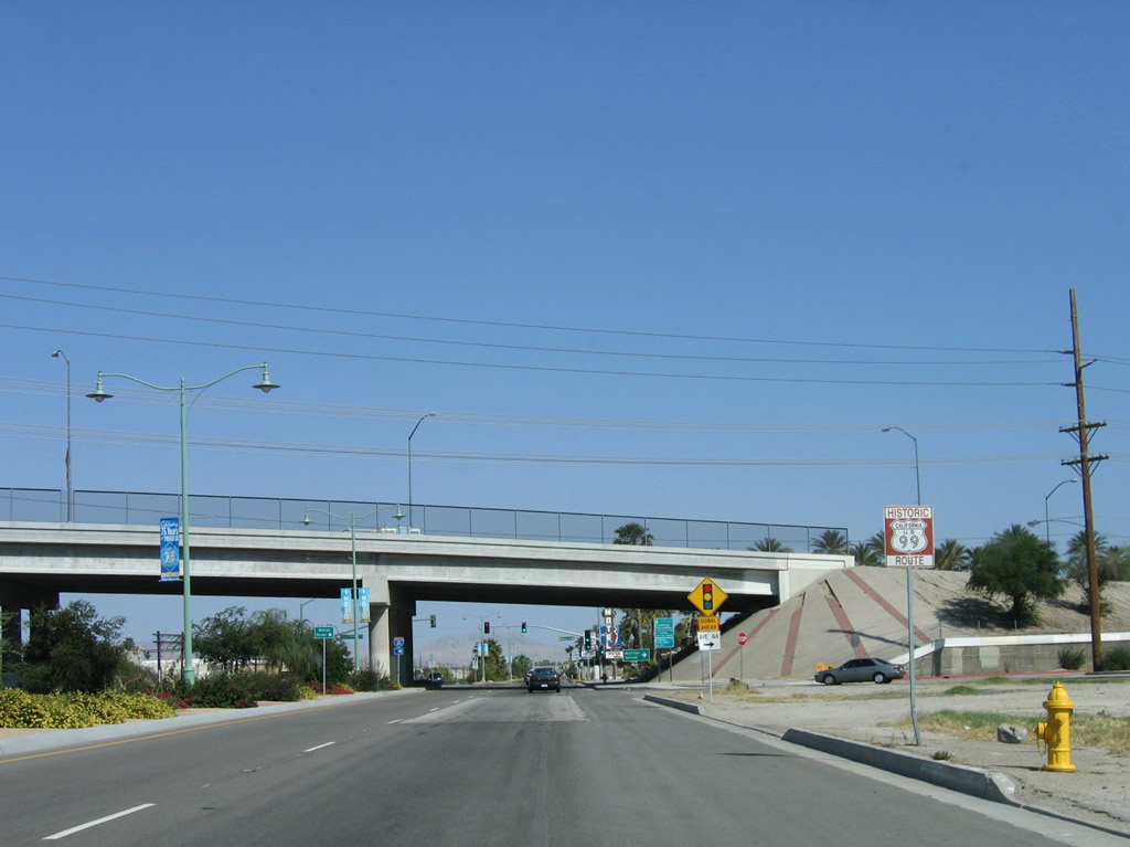
The Historic U.S. 99 route marker posted ahead of Avenue 44 and the Monroe Street viaduct was removed by 2012.
05/07/06
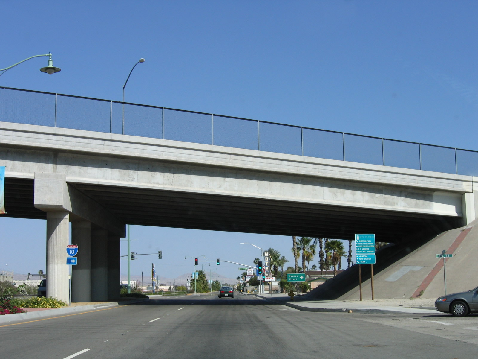
Spanning Indio Boulevard and the adjacent Union Pacific Railroad, the Monroe Street viaduct was built in 1990.
05/07/06
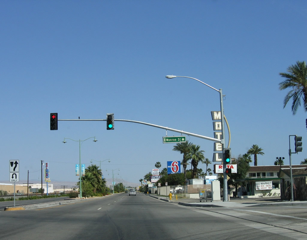
Fred Waring Way connects Indio Boulevard with Monroe Street at the south end of the elevated roadway.
05/07/06
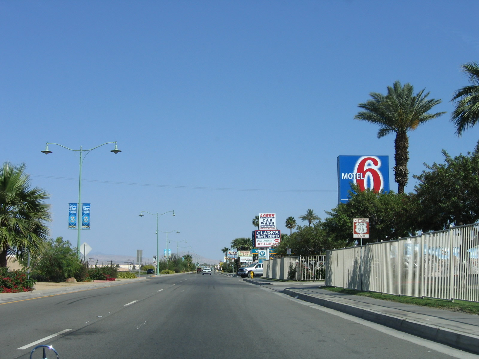
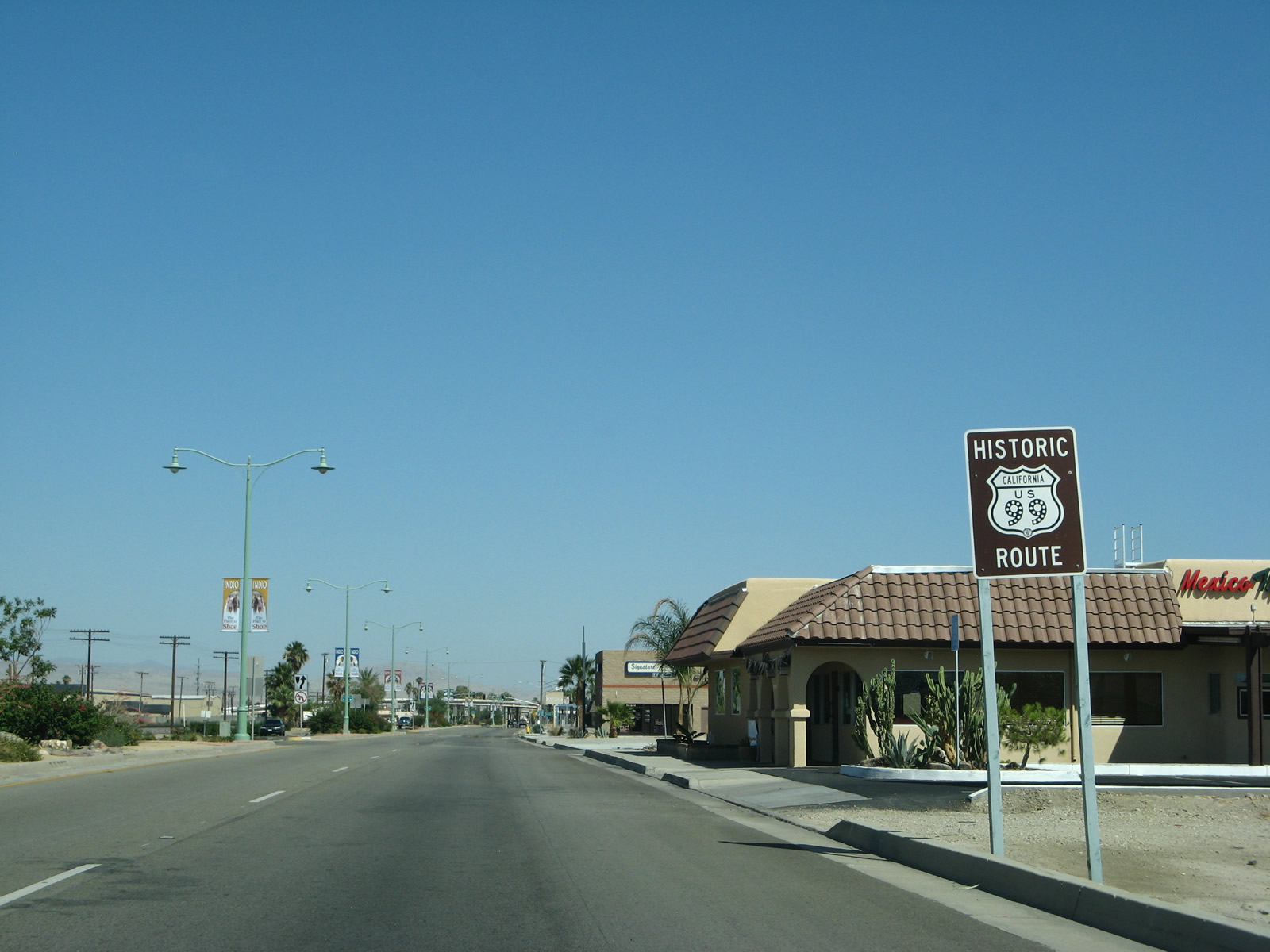
A remaining Historic U.S. 99 route marker stands along Indio Boulevard between Fred Waring Drive and Sun Gold Street.
05/07/06
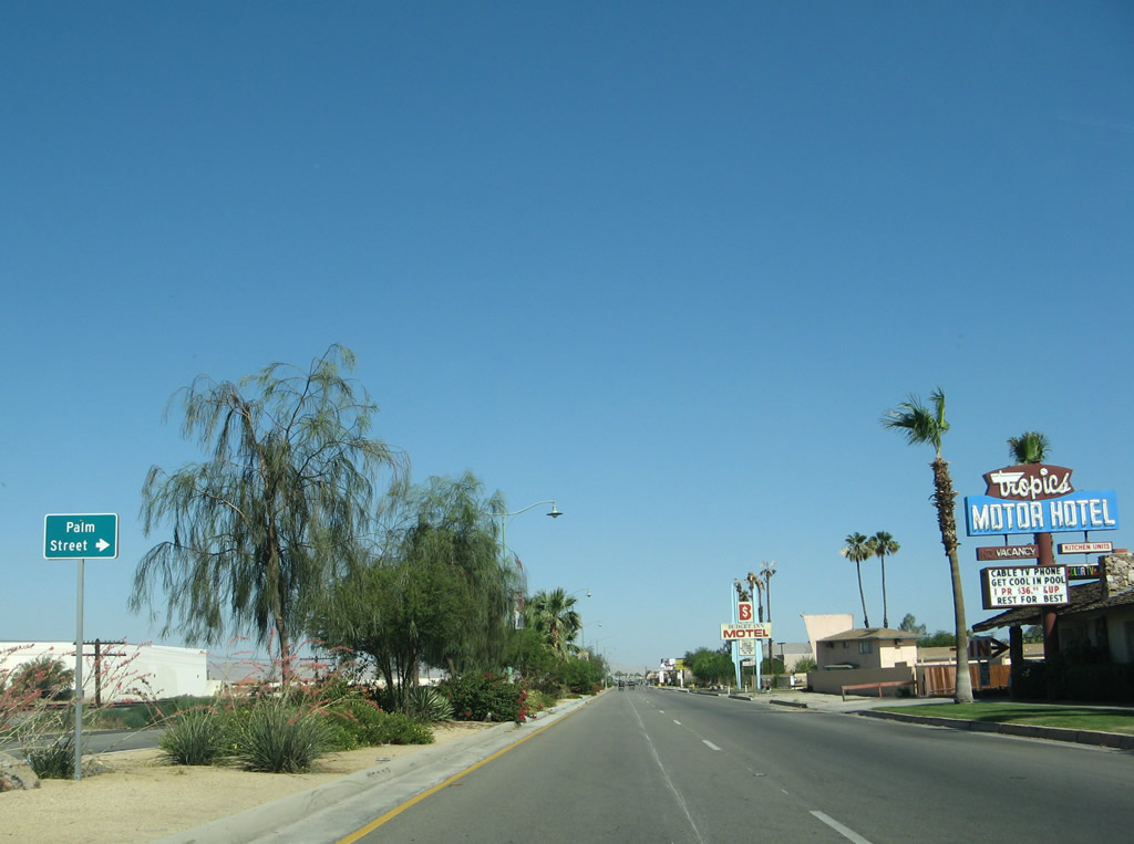
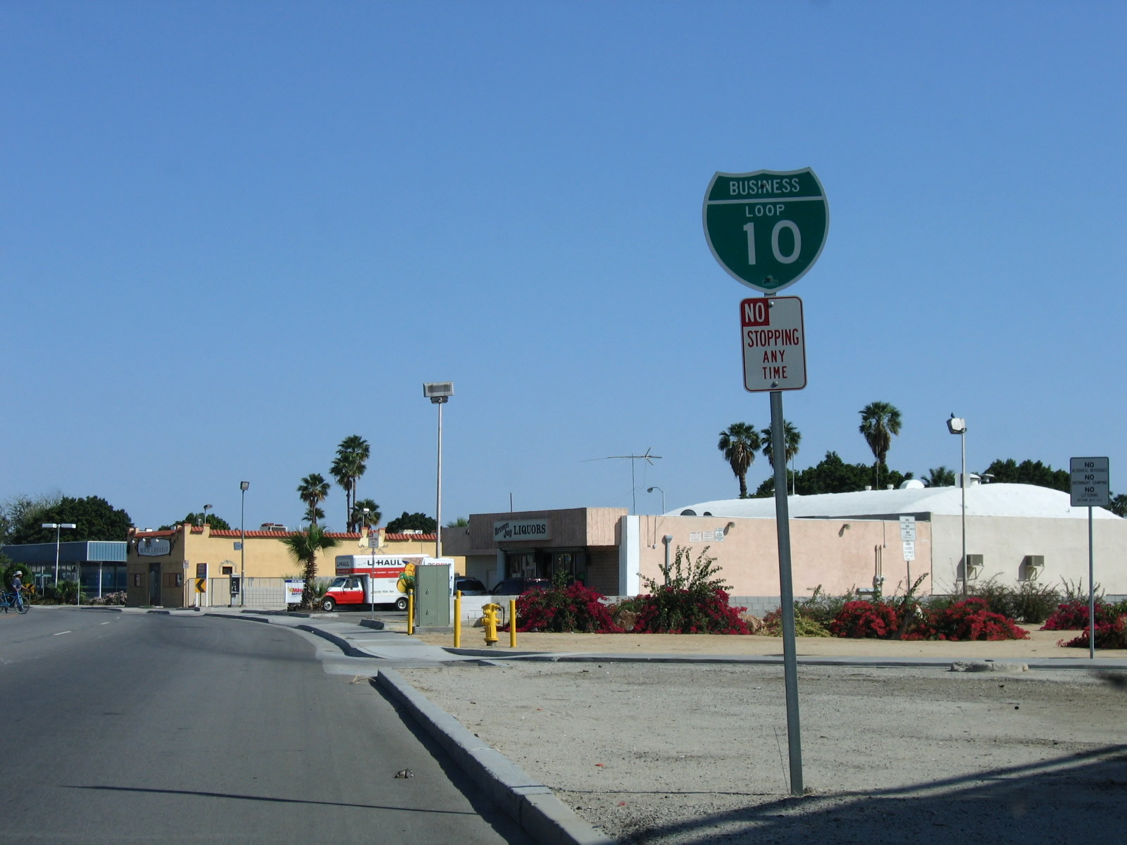
Business Loop I-10 and Historic U.S. 60-70-99 east at Palm Street. The business route designation was deemphasized starting in 2007. This coincided with the relinquishment of SR 86 and SR 111 within city limits to the city of Indio.
06/07/08
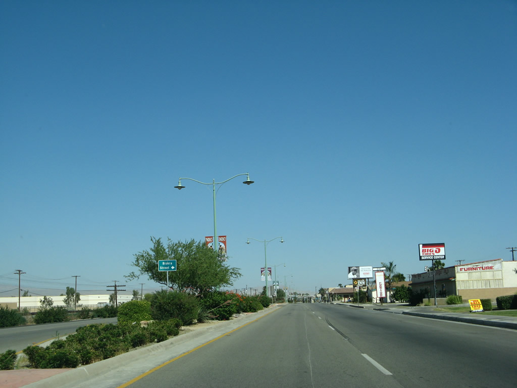
The city of Indio enhanced the streetscape of the historic route by adding street lights and xeriscape to the median. The next intersection is with Biskra Street.
06/07/08
The Historic U.S. 99 sign east of Biskra Street was replaced by 2012 and subsequently removed by 2018. Business Loop I-10 signs were largely removed from this stretch of Indio Boulevard by 2008.
06/07/08
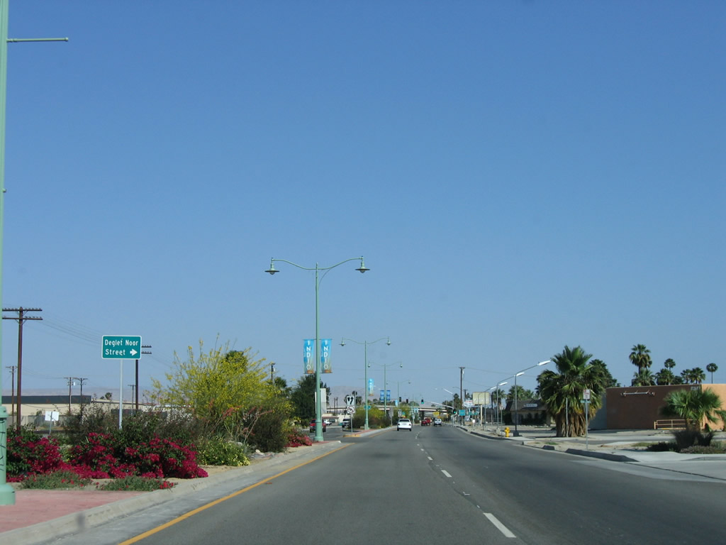
Deglet Noor Street stems south from Indio Boulevard to Miles Avenue Park.
05/07/06
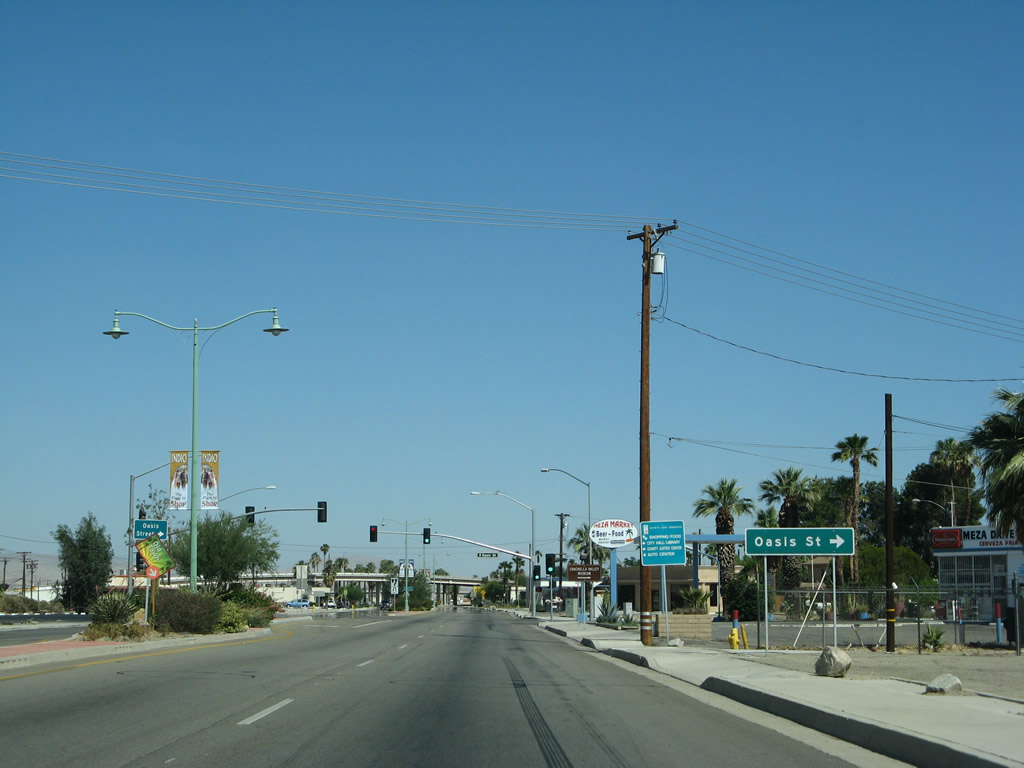
Oasis Street runs south from Indio Boulevard (Historic U.S. 60-70-99) into Old Town Indio and connects to SR 111 and the Coachella Valley Museum.
06/07/08
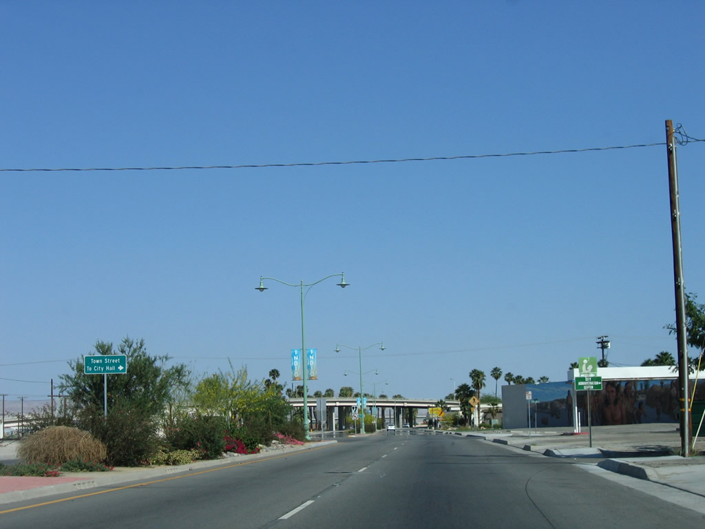
Towne Street south leads to Indio City Hall.
05/07/06
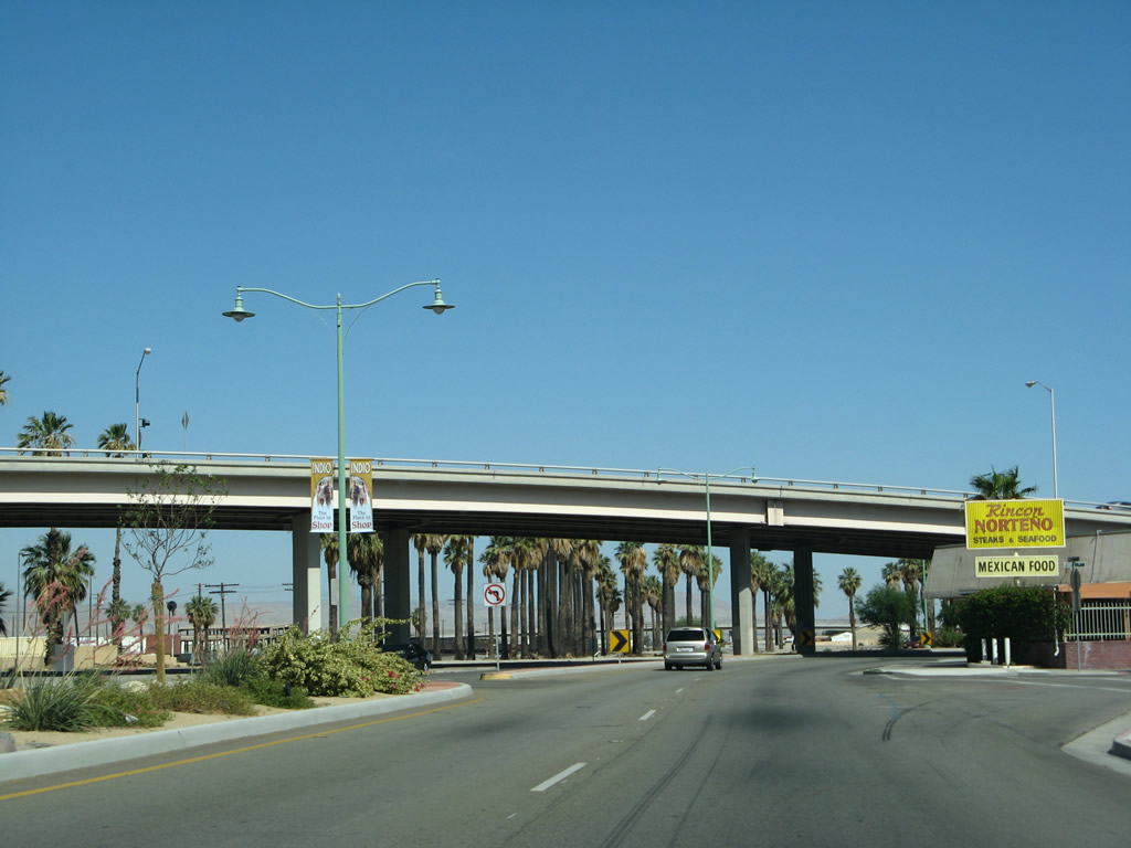
Business Loop I-10 intersects Smurr Street and Fargo Street ahead of The Jackson Street viaduct spanning Indio Boulevard and the Union Pacific Railroad.
06/07/08
The addition of a sidewalk by 2007 along Indio Boulevard eastbound at Jackson Street resulted in the removal of this Business Loop I-10 shield. Traffic lights were added at the adjacent intersection with Civic Center Drive by 2008.
05/07/06
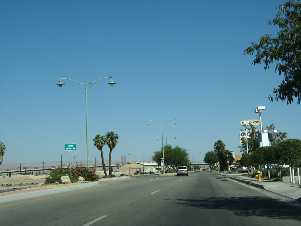
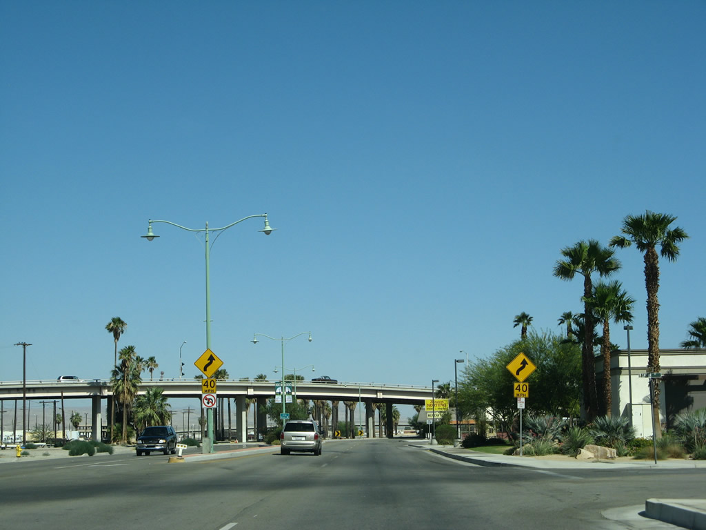
Indio Boulevard curves southeast from Jackson Street to Civic Center Drive, which links to the Jackson Street viaduct. Grace Street follows south to Requa Avenue and SR 111.
06/07/08
Business Loop I-10 converges with Requa Avenue east at Flower Street. The elevated roadway for Golf Center Parkway appears beyond a former reassurance marker.
05/07/06
The Business Loop I-10 shield posted east of Flower Street was gone by 2008.
05/07/06
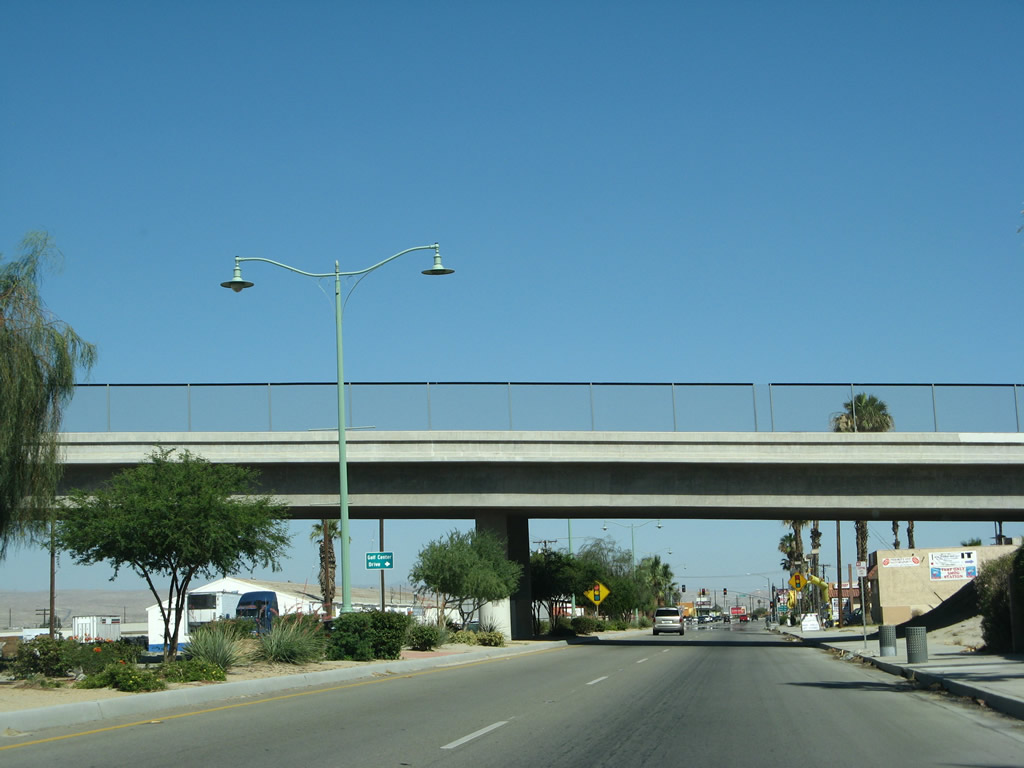
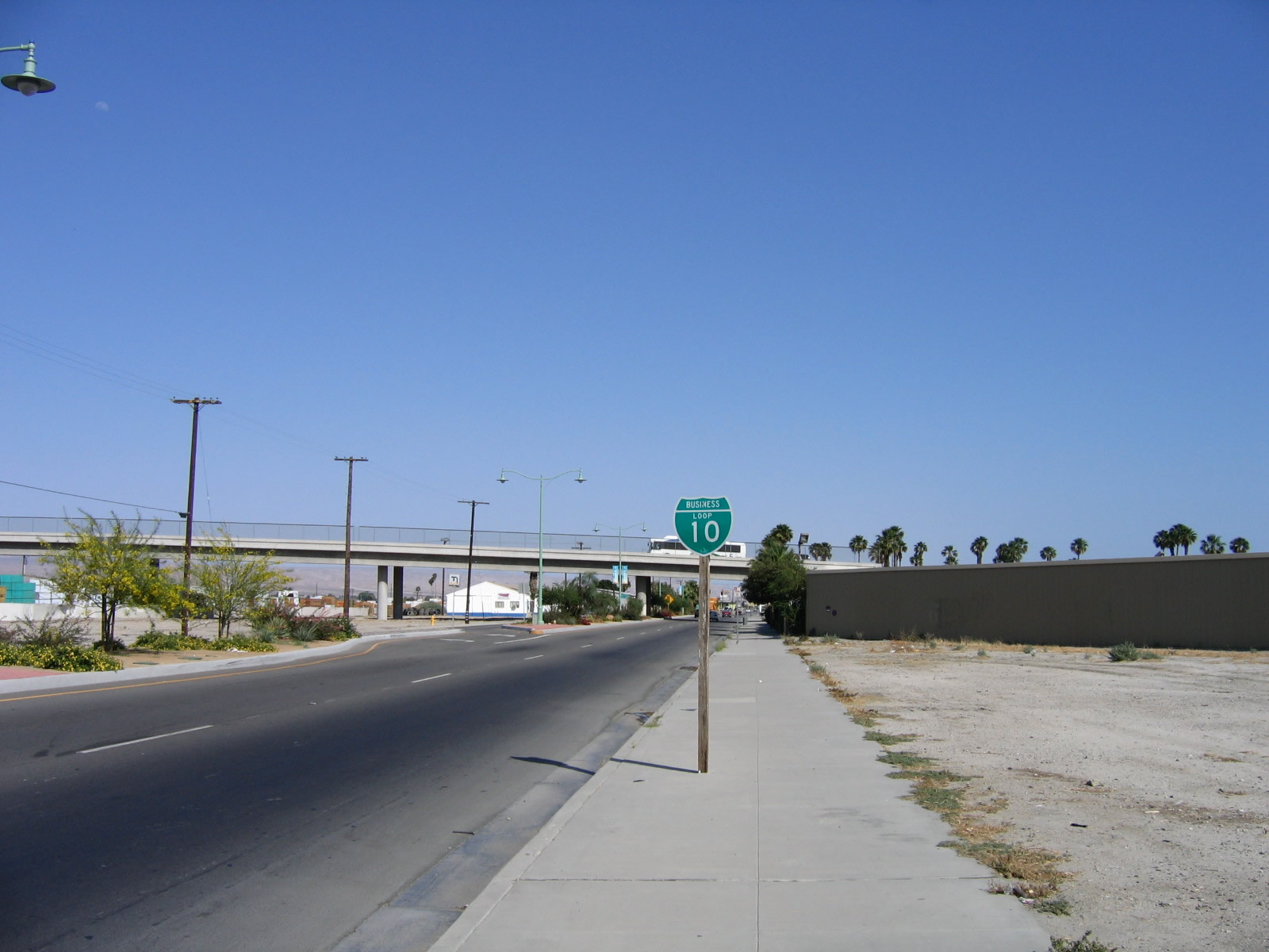
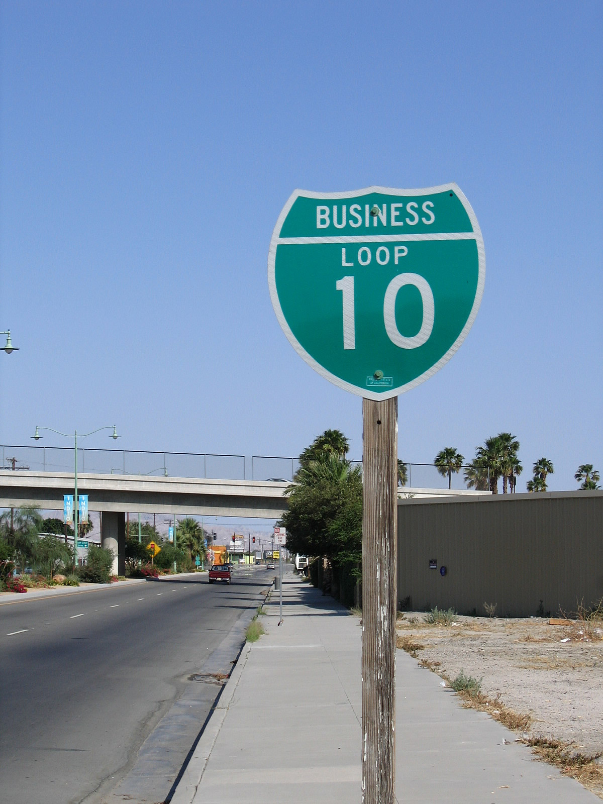
Eastbound Business Loop I-10 (Indio Boulevard) passes under Golf Center Parkway.
06/07/08
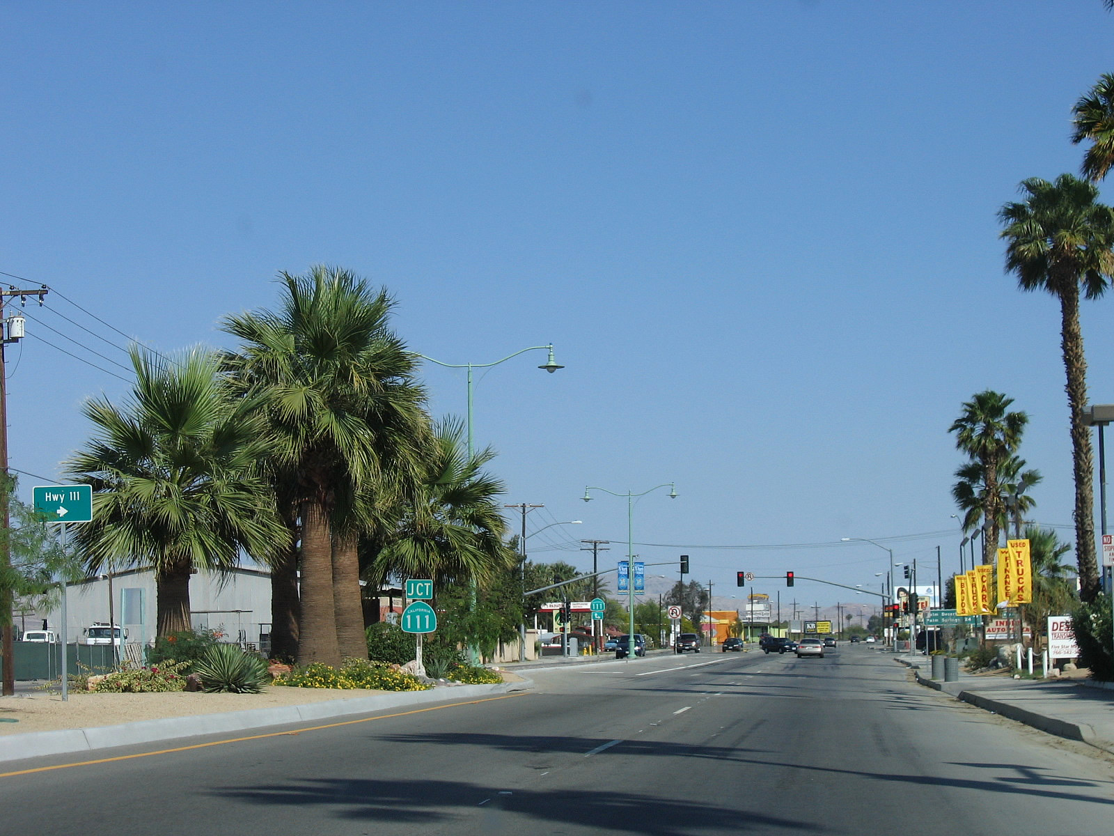
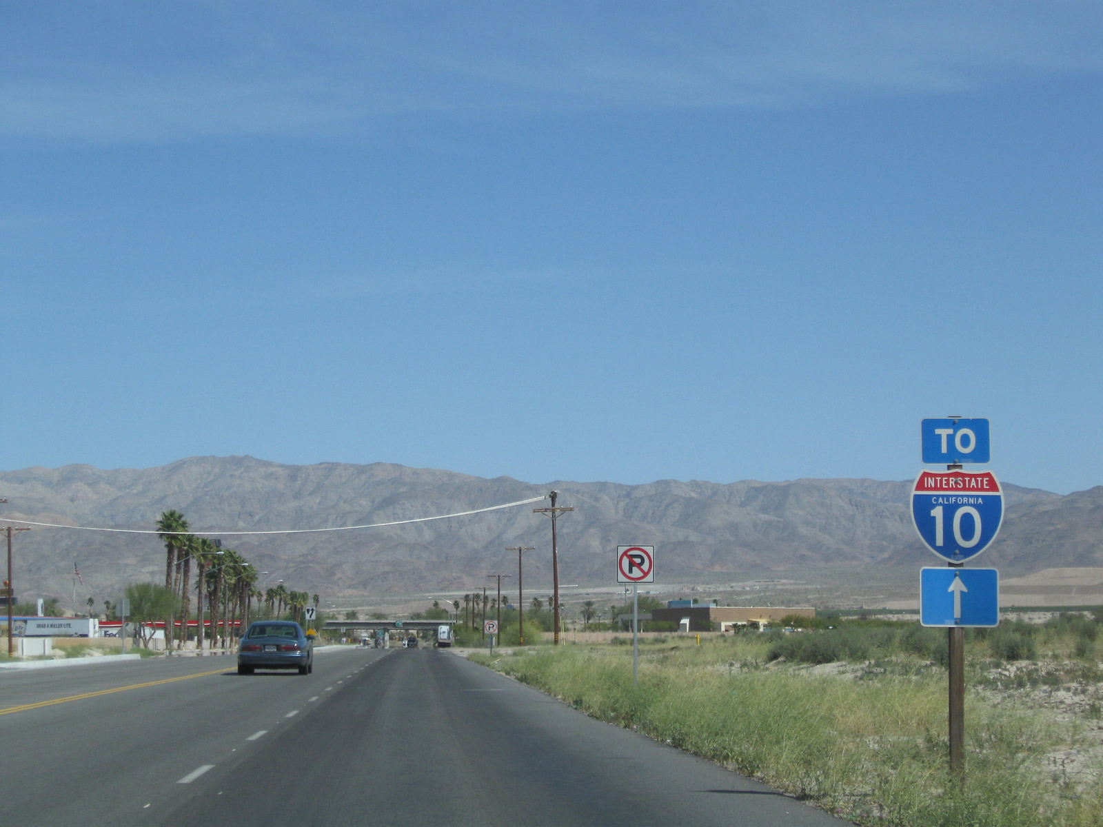
Highway 111 converges with Indio Boulevard at the succeeding traffic light beyond Golf Center Parkway. Shields for SR 111 were removed along Indio Boulevard by 2008 and the arterial route rebranded by the city of Indio as simply "Highway 111".
05/07/06
State maintenance along SR 111 was dropped west to the Palm Beach city line near Golf Club Drive. This includes the route across the cities of Indian Wells, Palm Desert, Rancho Mirage and Cathedral City as well.
05/07/06
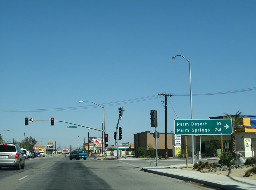
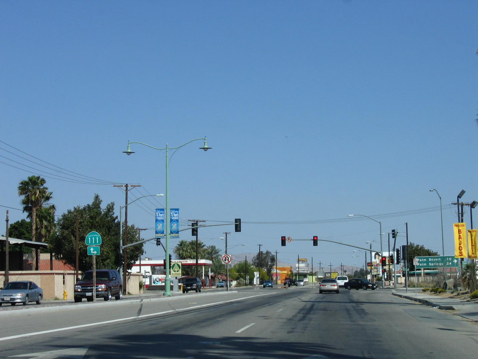
The distance sign referencing old SR 111 west to Palm Desert and Palm Springs was replaced in kind between 2006 and 2008. SR 111 historically overlapped with Business Loop I-10 (Indio Boulevard) east for 1.3 miles to Dillon Road in Coachella.
06/07/08
Prior to the construction of the Dillon Road Grade Separation, Business Loop I-10 turned northeast from SR 111 (Indio Boulevard) onto Dillon Road directly. This connection was removed when Dillon Road was realigned across Indio Boulevard west to Avenue 48.
11/11/00
Business Loop I-10 angles northeast 1.7 miles along Dillon Road from Avenue 48 back to Interstate 10.
06/07/08
Avenue 48 ties into Indio Boulevard from the west. An unmarked turn takes Business Loop I-10 west onto Avenue 48 to connect with Dillon Road north. Old SR 111 continues along Historic U.S. 60/70 through Coachella to Thermal and Mecca.
05/07/06
Beyond the the Dillon Road Grade Separation on the border between the cities of Indio and Coachella in the Coachella Valley, Dillon Road intersects Cabazon Avenue north and Avenue 48 east. The unsigned business loop then reduces to two lanes ahead of the Whitewater River.
03/14/09
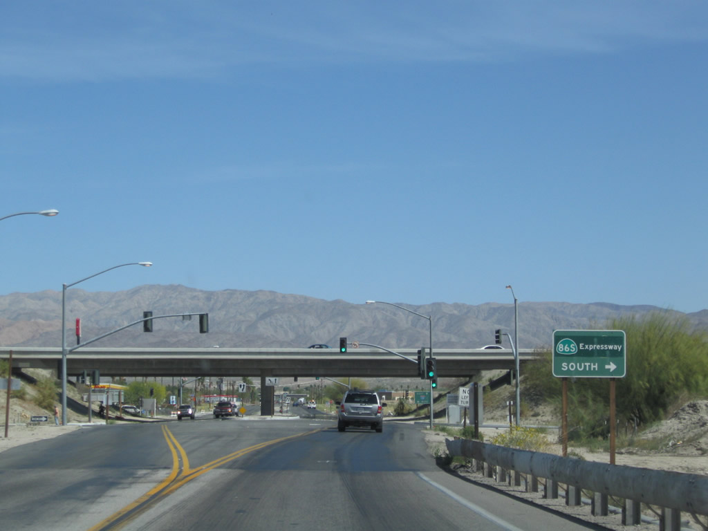
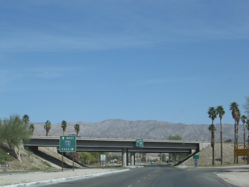
A diamond interchange joins Dillon Road with the expressway along SR 86.
03/14/09
Formerly designated SR 86S, the expressway along SR 86 travels south to Desert Shores-Salton City, Brawley and El Centro.
03/14/09
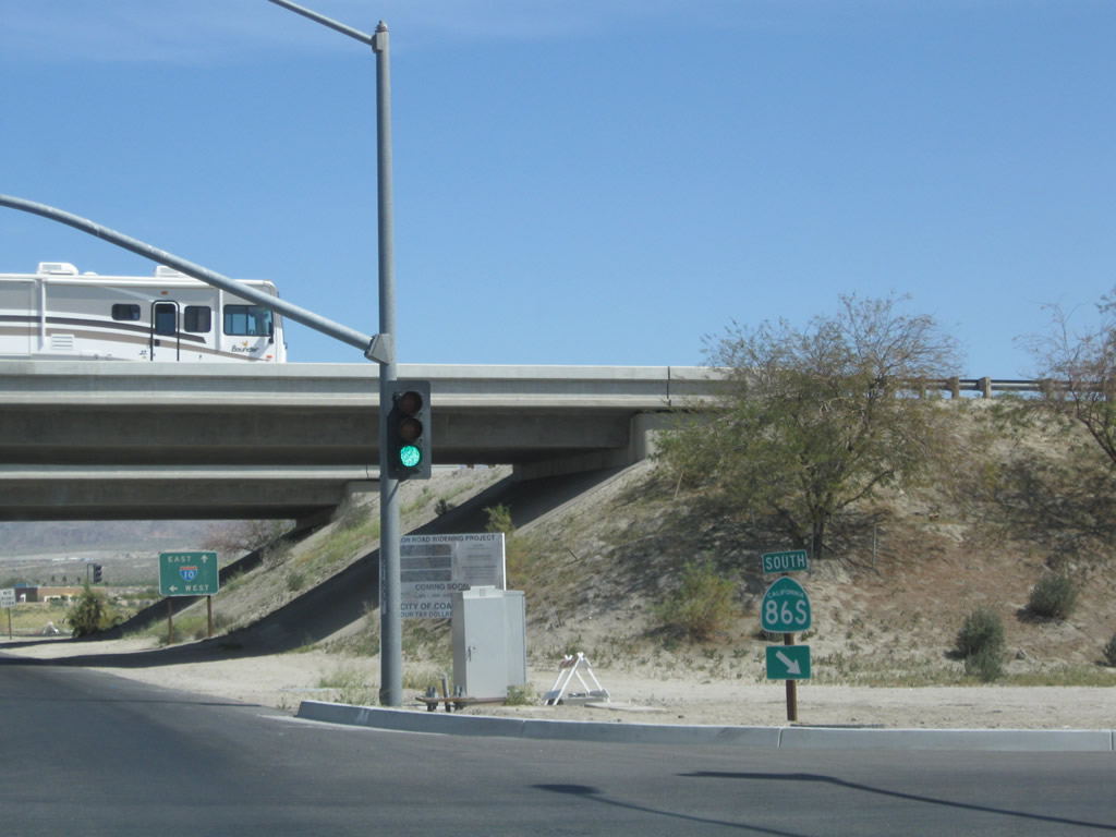
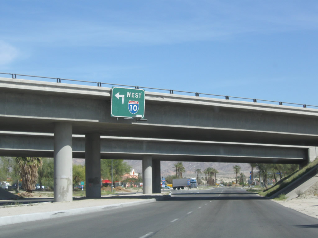
SR 86 north defaults onto Interstate 10 westbound to Palm Springs, Riverside, San Bernardino and Los Angeles.
03/14/09
The on-ramp from Dillon Road to SR 86 north is signed as a freeway entrance to Interstate 10 west.
03/14/09
The stop sign at Harrison Place north of SR 86 was upgraded with traffic signals by 2012. Harrison Place is the driveway leading to Spotlight 29 Casino.
03/14/09
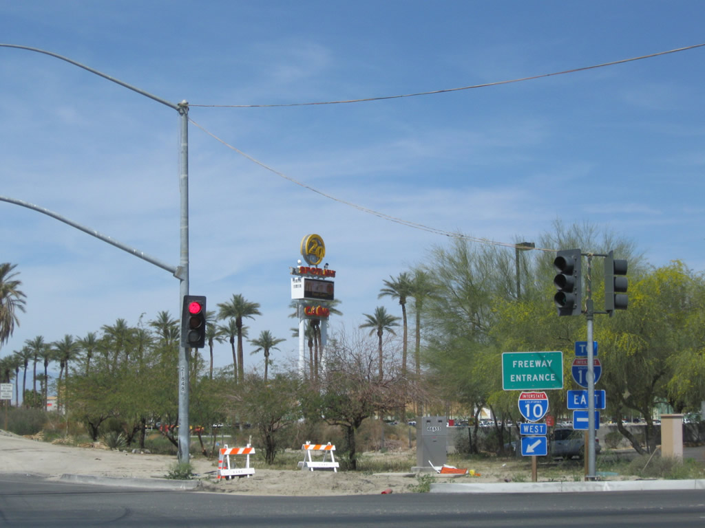
The trailblazer for Interstate 10 east posted north of Harrison Place was removed by 2019.
03/14/09
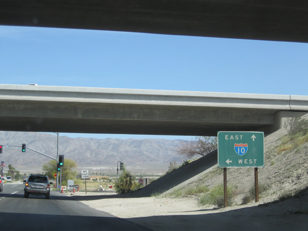
Business Loop I-10 concluded along Dillon Road north at the diamond interchange along Interstate 10 at Exit 146.
03/14/09
The exchange joining Dillon Road and Intertate 10 falls within the city of Coachella. I-10 west enters Indio ahead of the merge with SR 86 north.
03/14/09
Dillon Road continues north and then northwest from I-10 toward Desert Hot Springs and ultimately SR 62.
03/14/09
Dillon Road north of Interstate 10 prior to commercial development including a truck stop, fast food restaurant and gas station.
03/14/09
Photo Credits:
- Andy Field: 11/11/00, 05/07/06, 06/07/08, 03/14/09
Connect with:
Page Updated Wednesday August 06, 2025.