
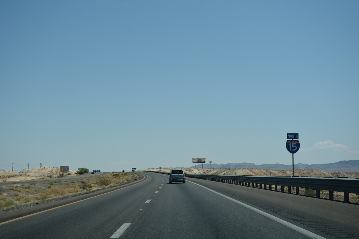
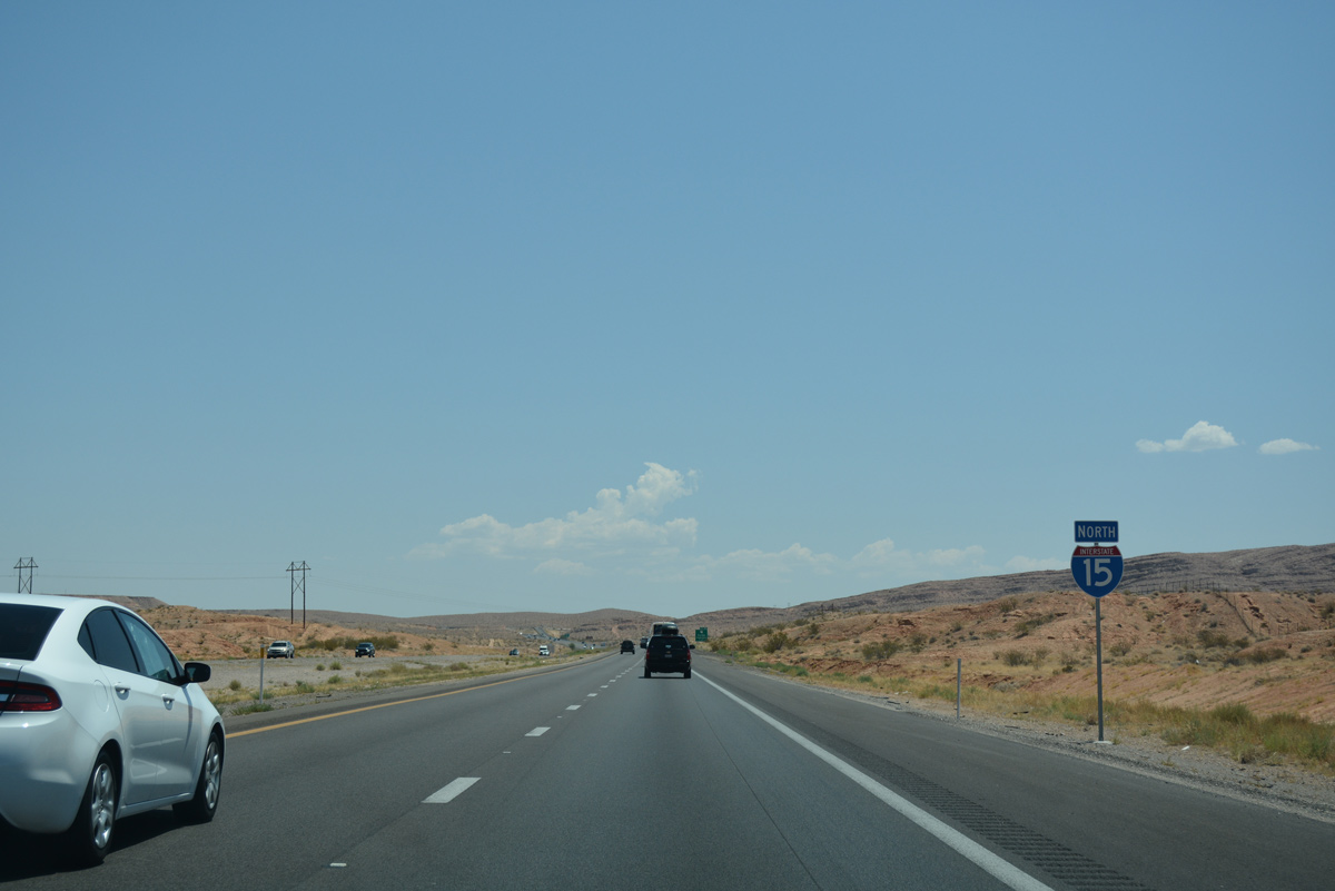
Interstate 15 North - Garnet to Arizona

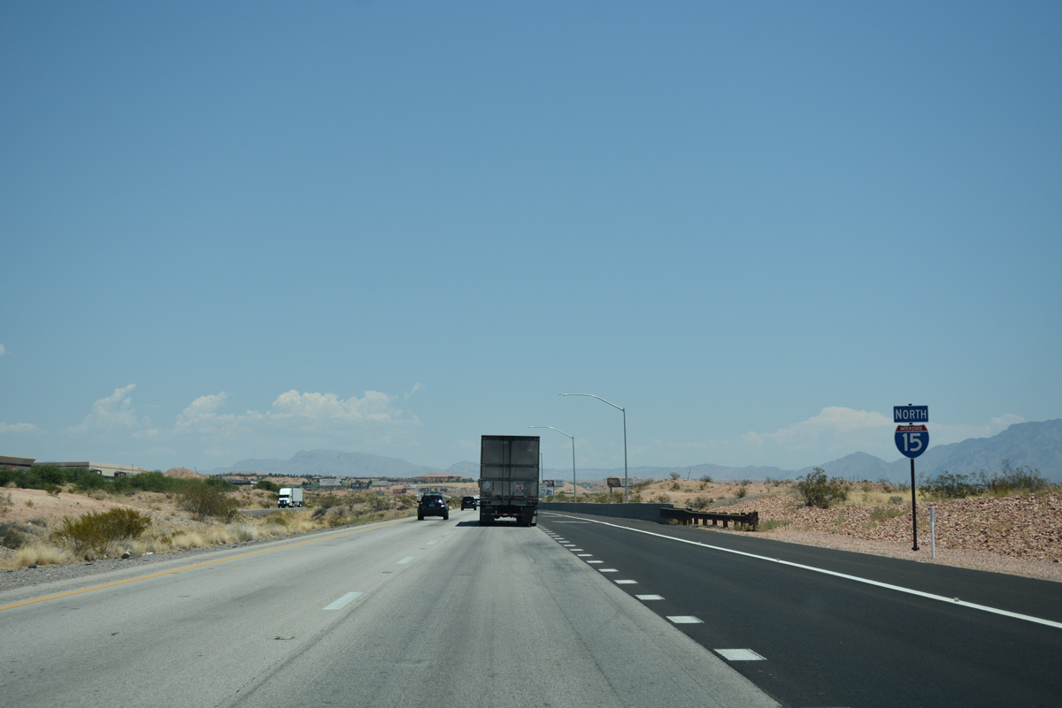
 North
North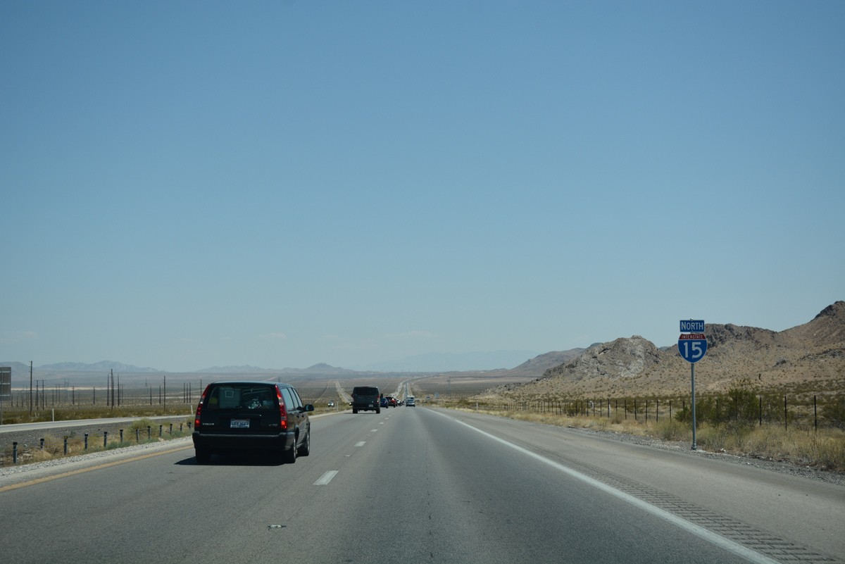
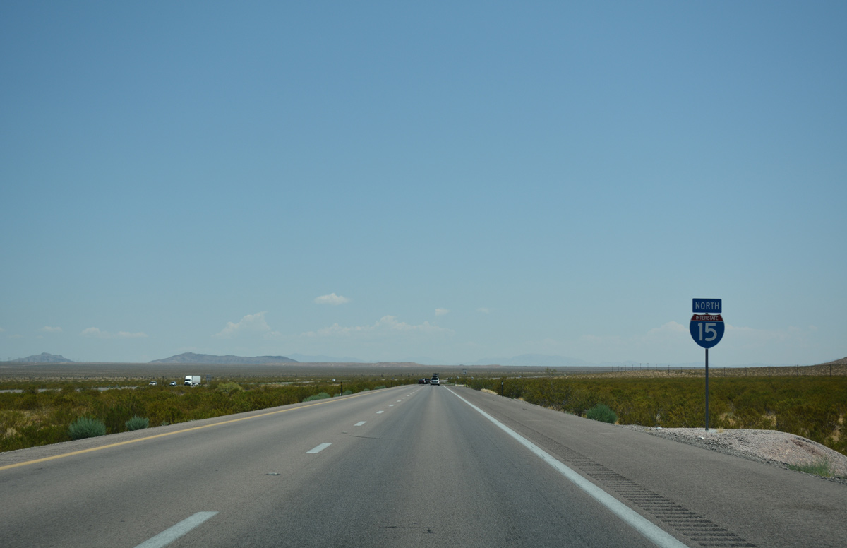
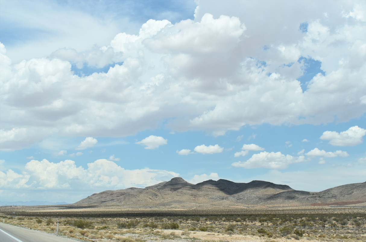
Interstate 15 continues on a northeasterly course from U.S. 93 at Garnet into Dry Lake Valley.
07/15/17
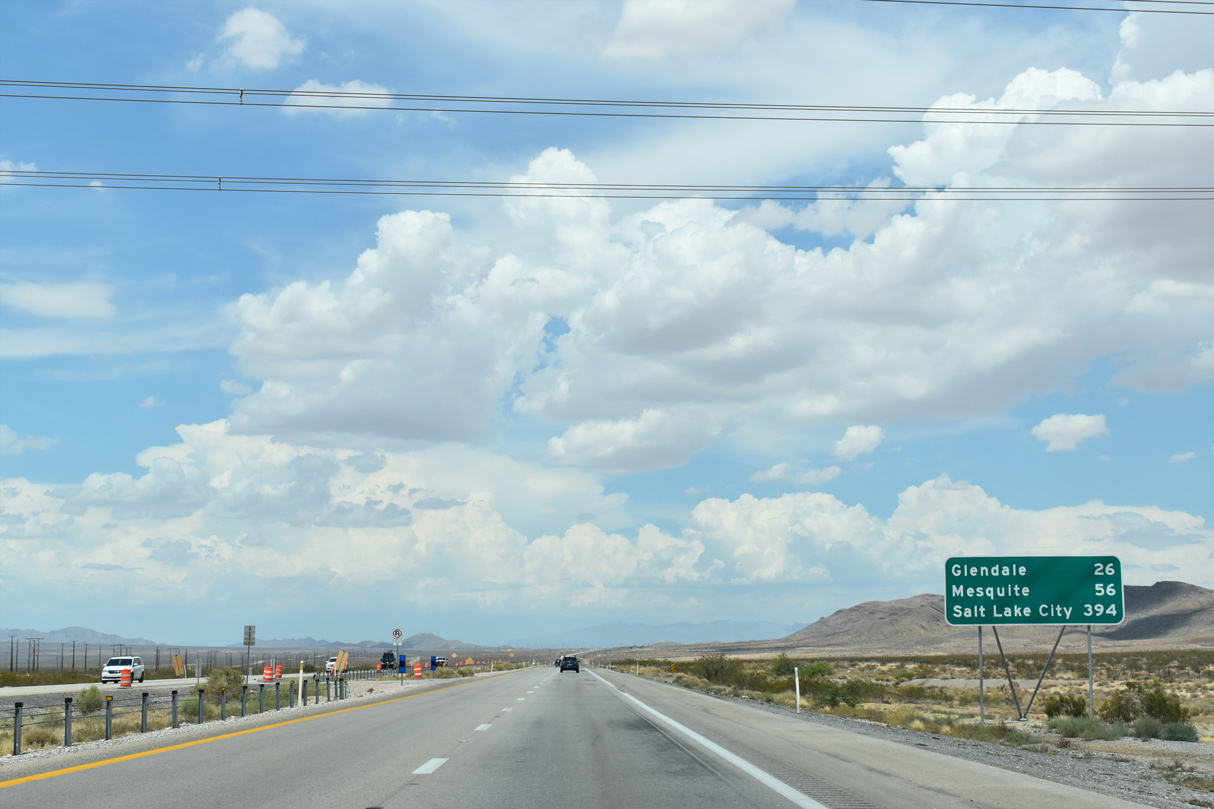
I-15 advances 26 miles to Glendale and 56 miles to Mesquite ahead of the Arizona state line.
07/14/18
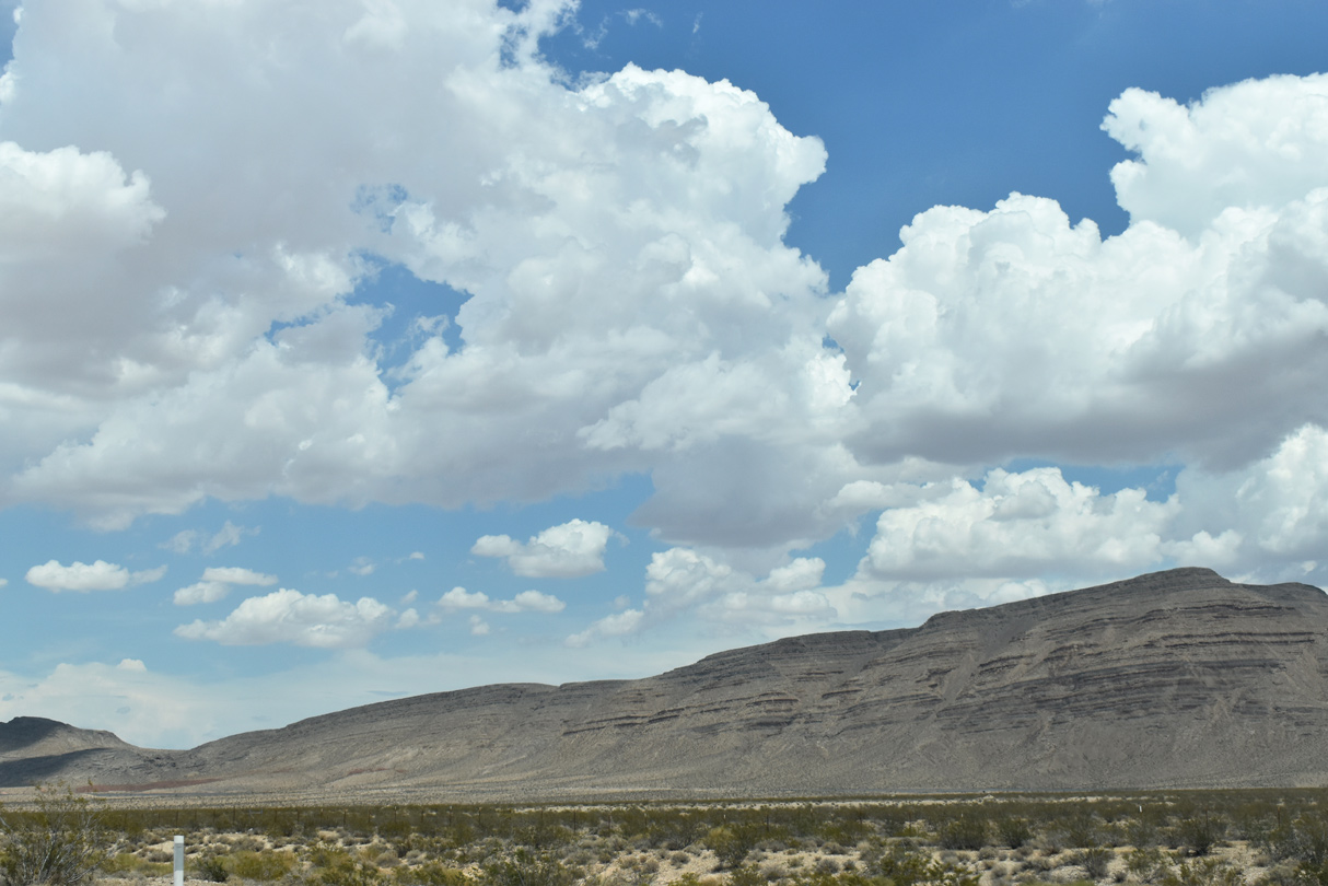
Interstate 15 travels west of the Dry Lake Range along the ensuing stretch. The mountain range tops out at 3300 feet in elevation.
07/14/18
The Union Pacific railroad line switches back to run west of I-15 as the freeway rises to 2135 feet.
07/14/18
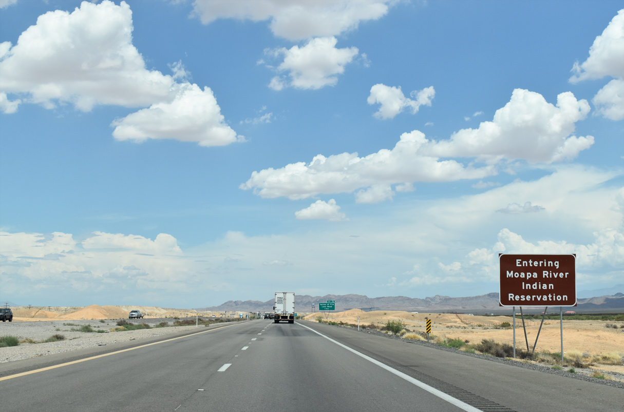
I-15 north enters the Moapa River Indian Reservation ahead of Exit 75. The reservation covers nearly 72,000 acres and is home to the Moapa Band of Paiute Indians.1
07/14/18
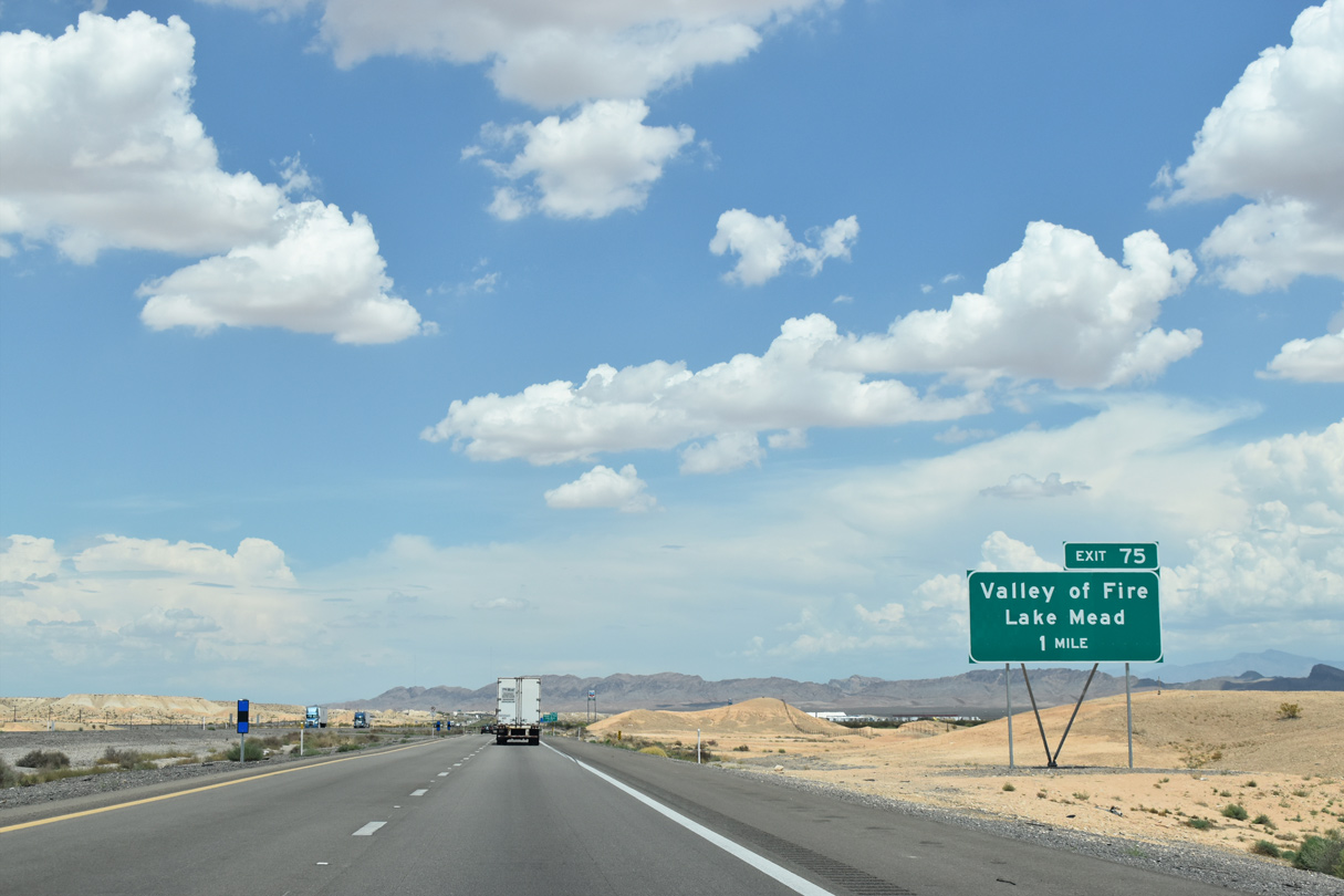
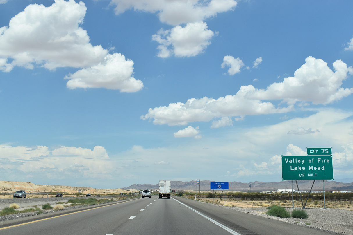
Exit 75 connects I-15 with the Valley of Fire State Park and the Lake Mead National Recreation Area in one mile.
07/14/18
Valley of Fire Highway leads directly to Valley of Fire State Park on a 23.5 mile long course to Northshore Road in the Lake Mead National Recreational Area.
07/14/18
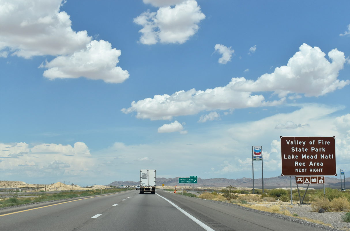
Both Lake Mead National Recreation Area and Valley of Fire State Park are fee based parks offering various amenities to visitors year round.
07/14/18
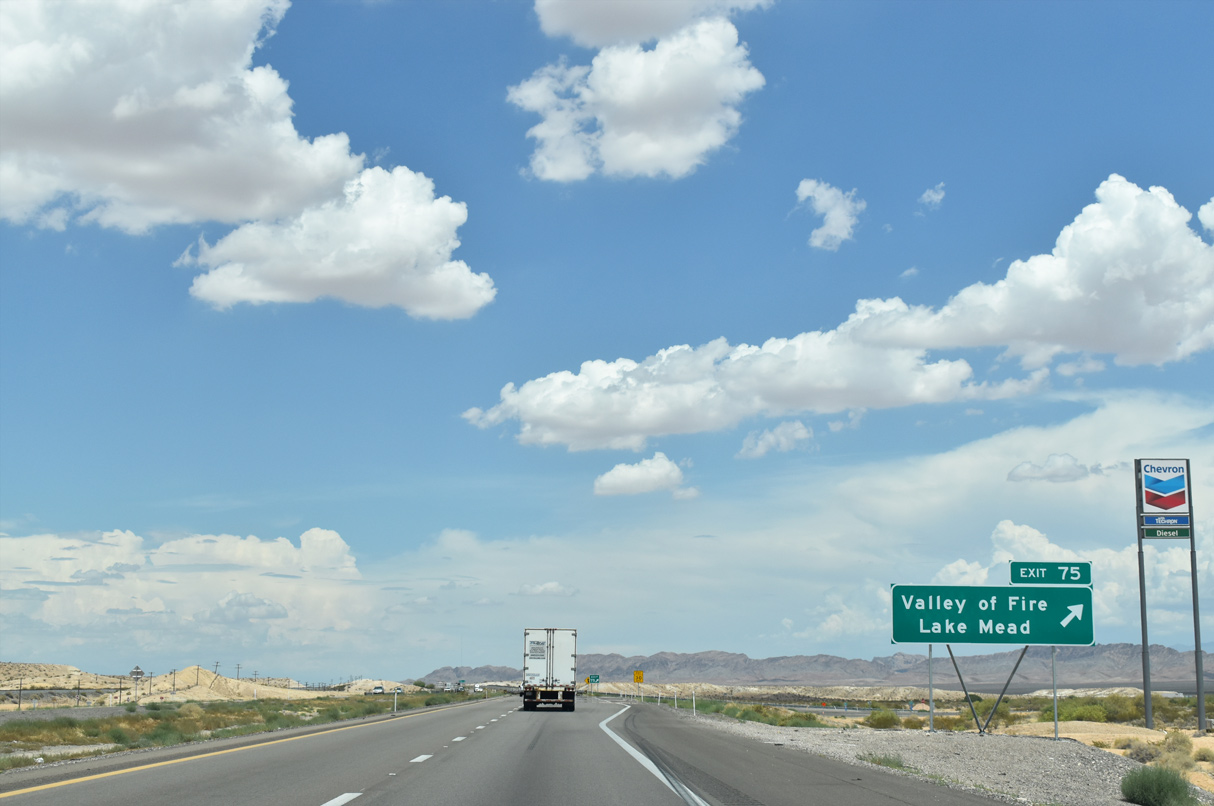
Valley of Fire Highway was previously a part of SR 169 between I-15 and SR 167 until 2001 when the state route was truncated to its current alignment.
07/14/18
Confirming marker posted for I-15 beyond the diamond interchange (Exit 75) with Valley of Fire Highway.
07/15/17
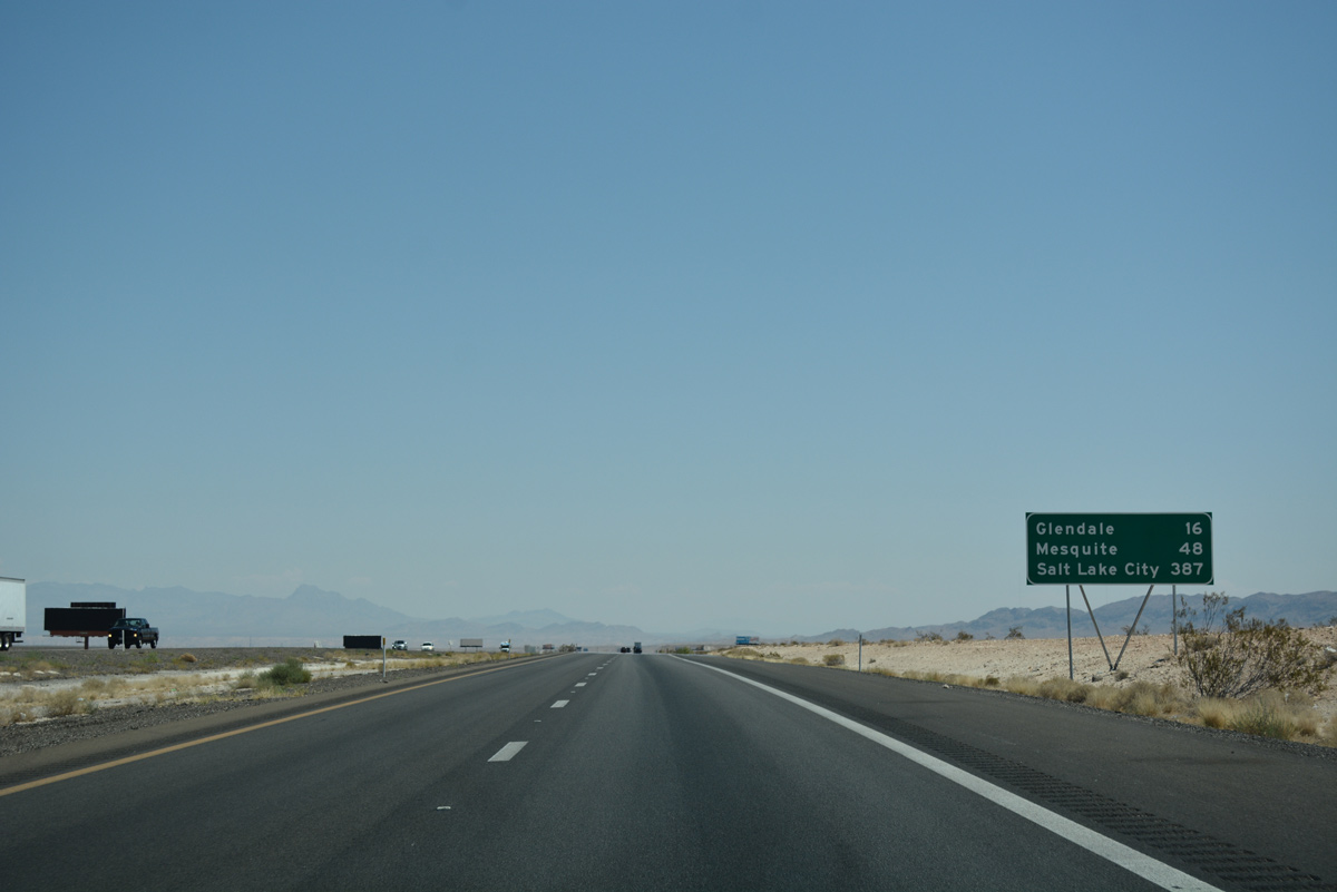
Glendale is the next population center found along I-15 north 16 miles ahead.
07/15/17
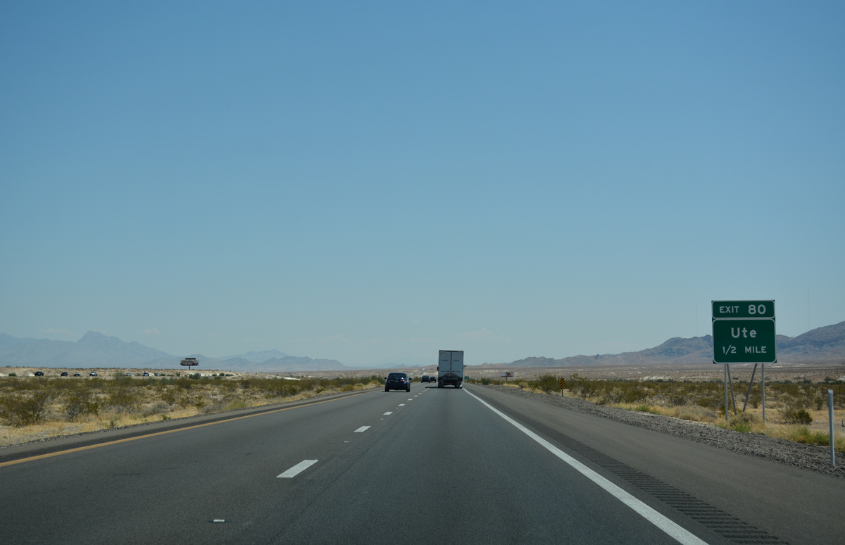
Exit 80 serves the Moapa River Indian Reservation railroad siding community of Ute.
07/15/17
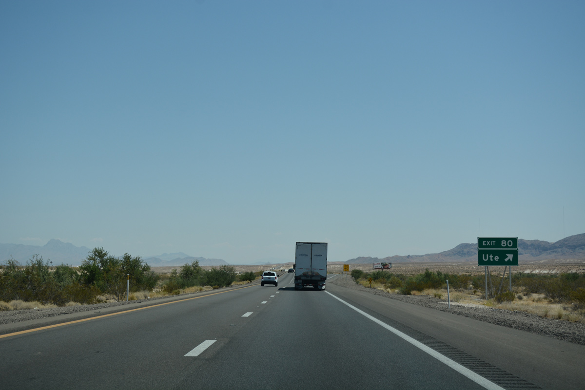
Ute is located along a gravel road west from I-15 at the crossing of the Union Pacific railroad line from Las Vegas.
07/15/17
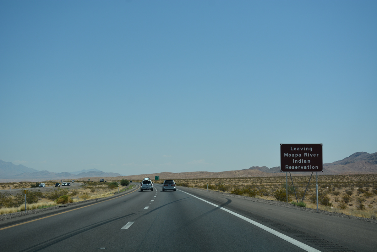
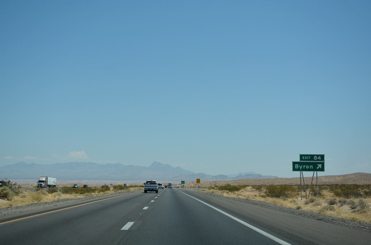
Interstate 15 leaves the Moapa River Indian Reservation 0.75 miles ahead of Exit 84.
07/15/17
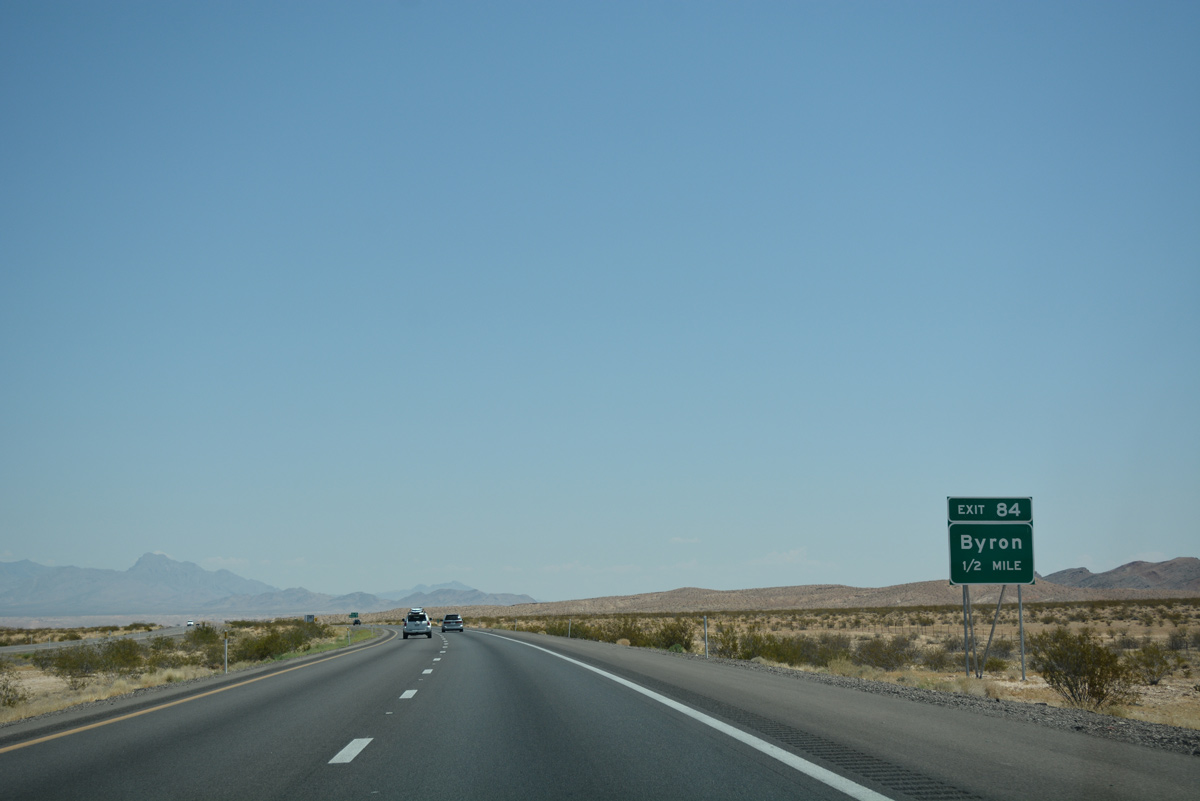
A folded diamond interchange (Exit 84) joins I-15 with the former railroad siding community of Byron.
07/15/17
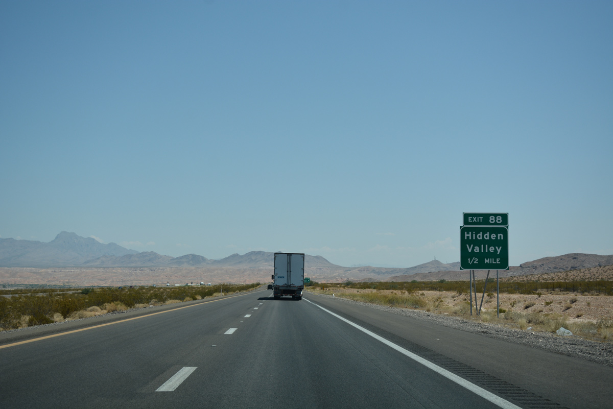
Beyond Exit 84, I-15 advances north to Hidden Valley Road (Exit 88).
07/15/17
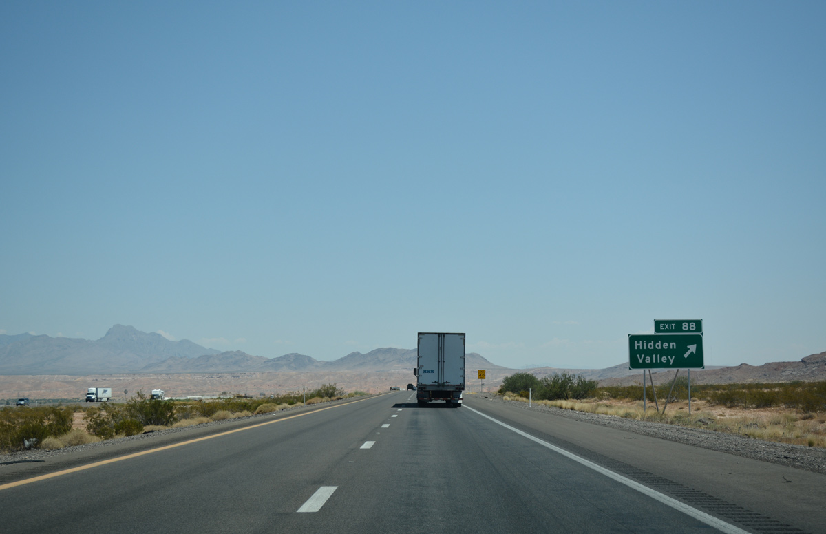
Hidden Valley Road stems north from Exit 88 to SR 168 west of Moapa.
07/15/17

This confirming marker is posted beyond Hidden Valley Road.
07/15/17
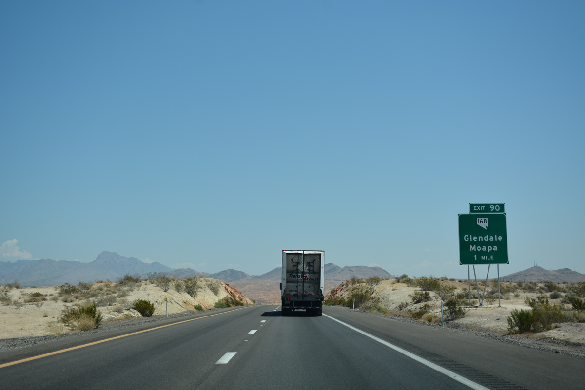
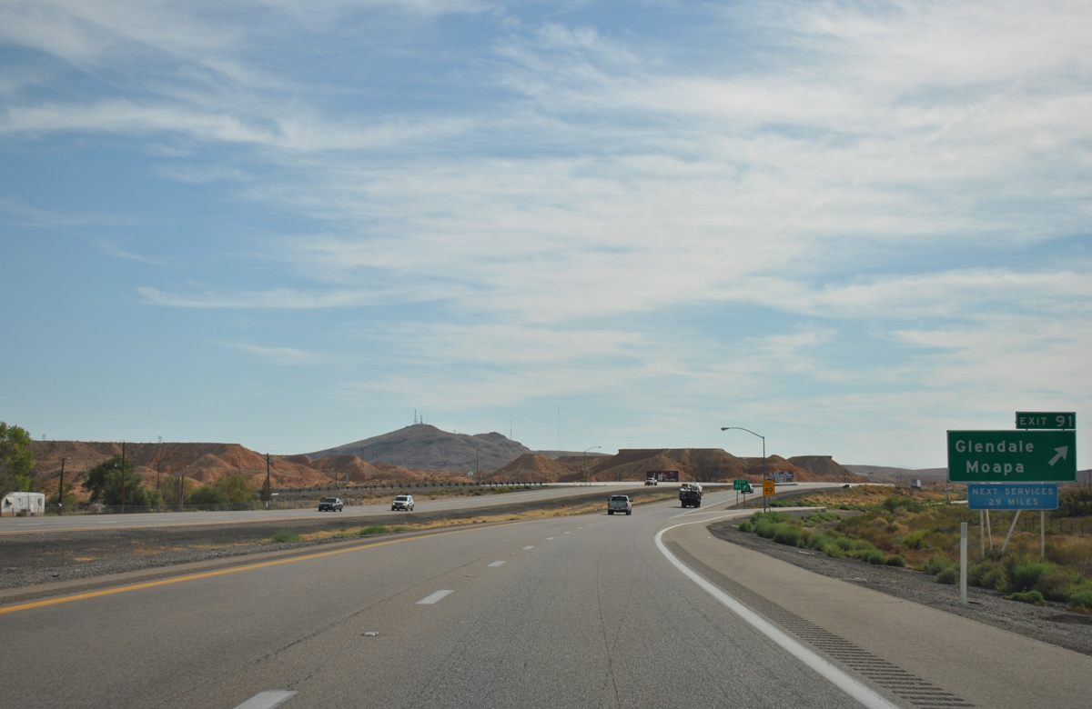
Interstate 15 north meets SR 168 west at Exit 90 in one mile. The state route travels on a northwest course to U.S. 93 near Coyote Springs.
07/15/17
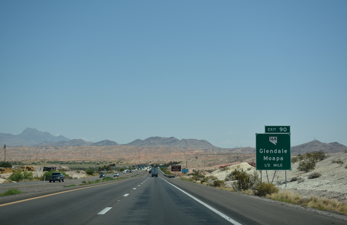
Exit 90 is the first of two interchanges serving Glendale and Moapa along I-15 north.
07/15/17
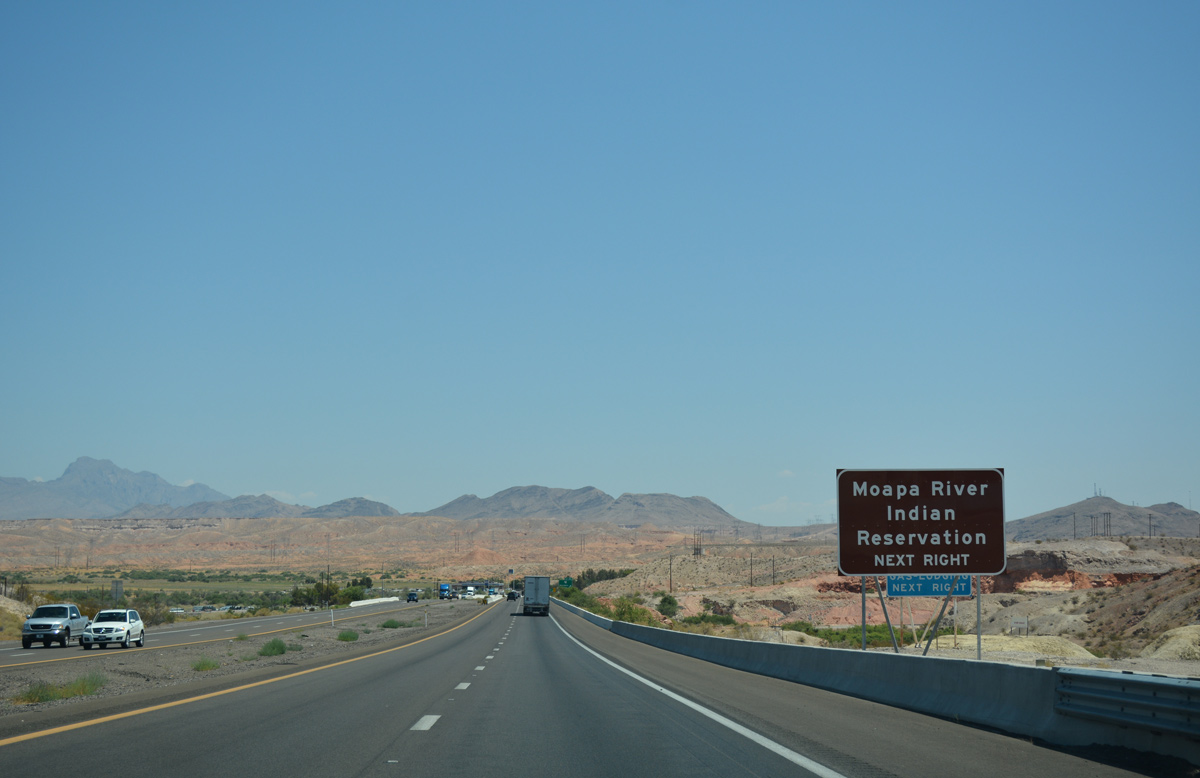
SR 168 connects Interstate 15 with the Moapa River Indian Reservation.
07/15/17
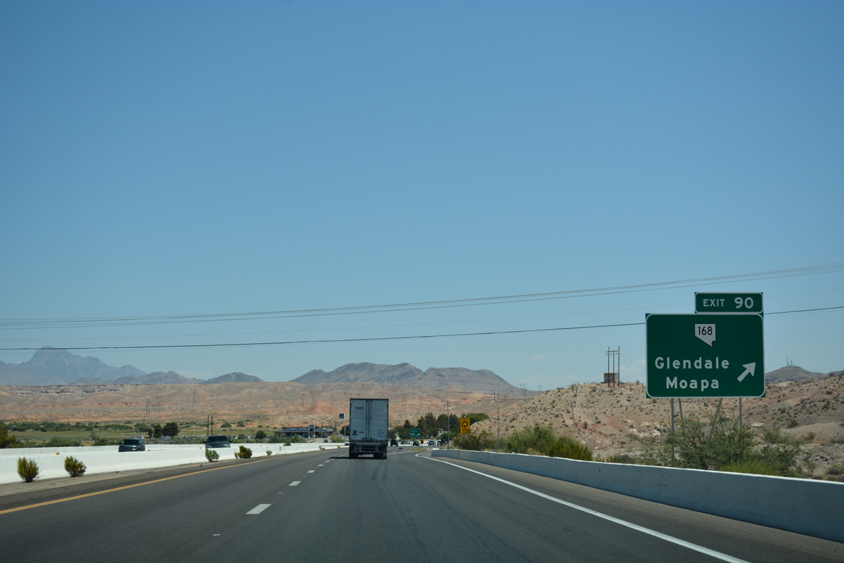
A loop ramp joins I-15 with SR 168 west to Moapa and Coyote Springs.
07/15/17
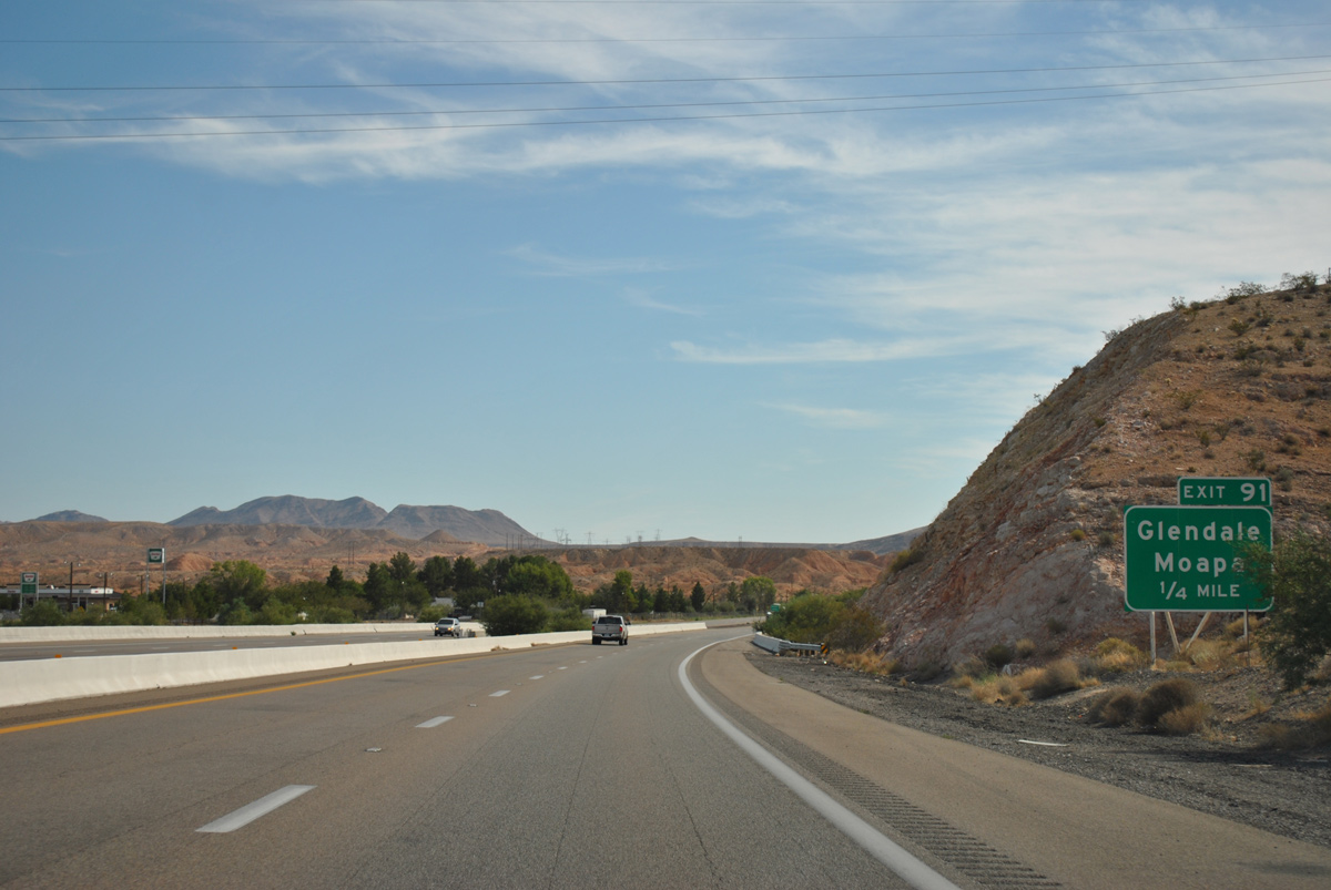
Lewis Ranch Road ties into I-15 north immediately following SR 168.
08/12/11
Lewis Ranch Road links I-15 to Glendale Boulevard at Exit 91.
08/12/11
Interstate 15 continues along an easterly course to SR 169 at Exit 93 next.
07/15/17
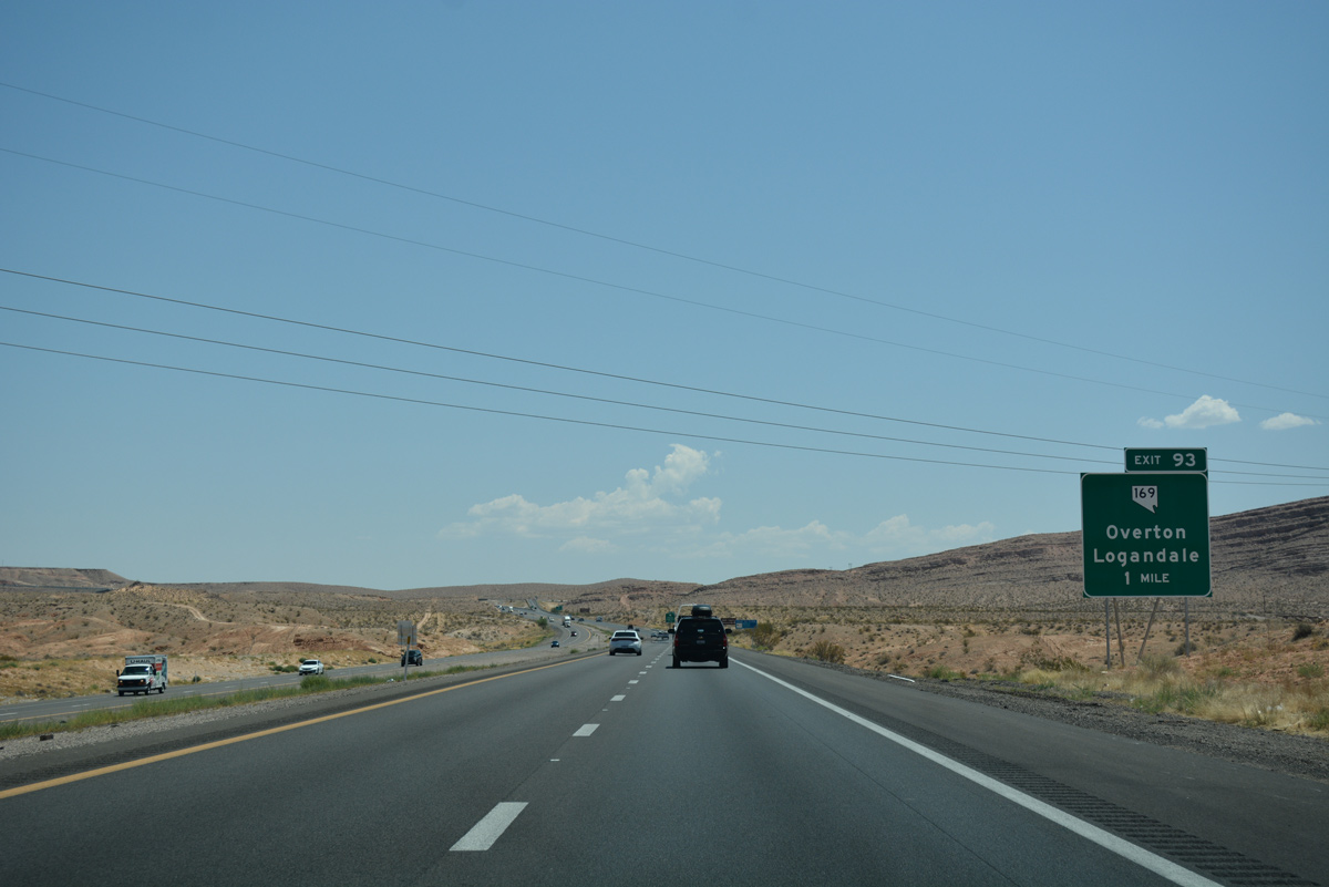
A set of high voltage transmission lines span I-15 one mile from Exit 93 to SR 169 south.
07/15/17
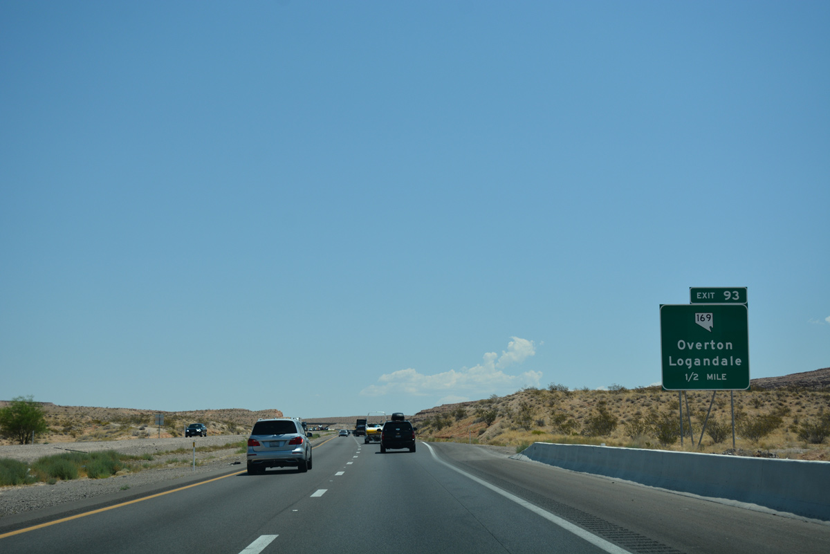
SR 169 extends southeast to Logandale and Overton, located within the Moapa Valley region.
07/15/17
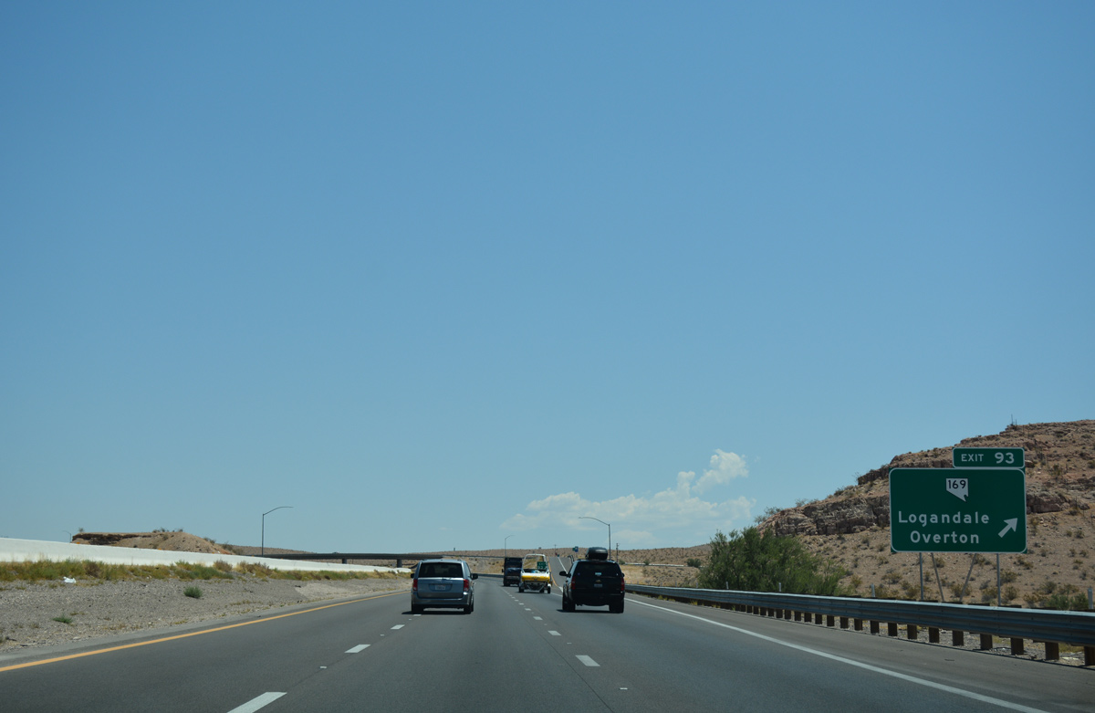
Beyond Logandale and Overton, SR 169 continues south along the eastern edge of Valley of Fire State Park.
07/15/17
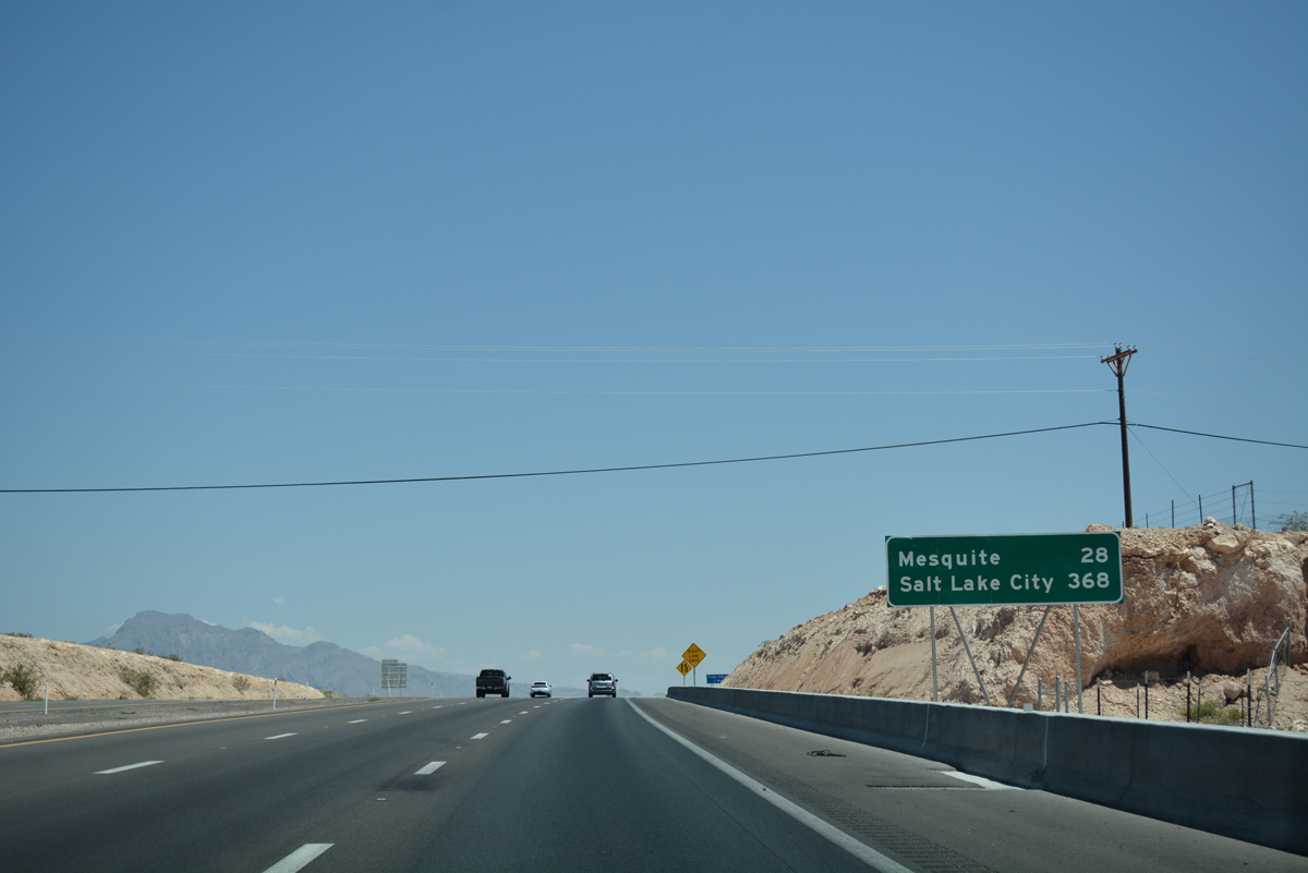
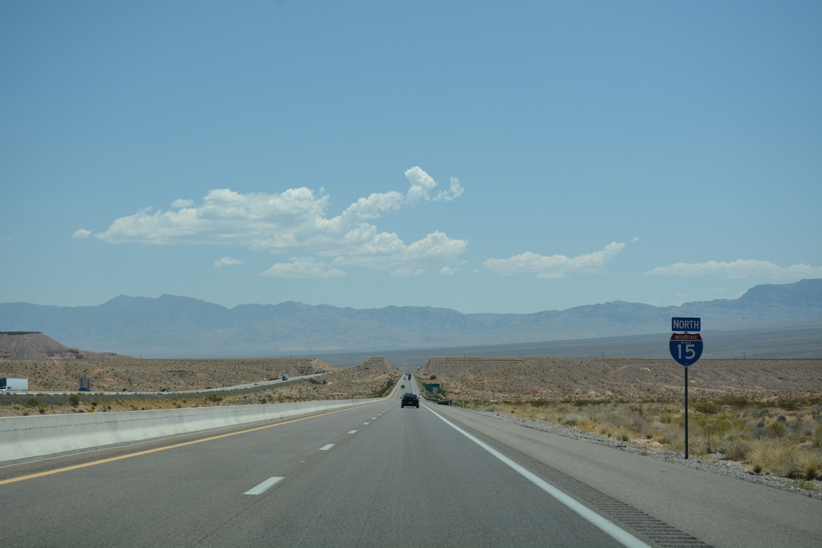
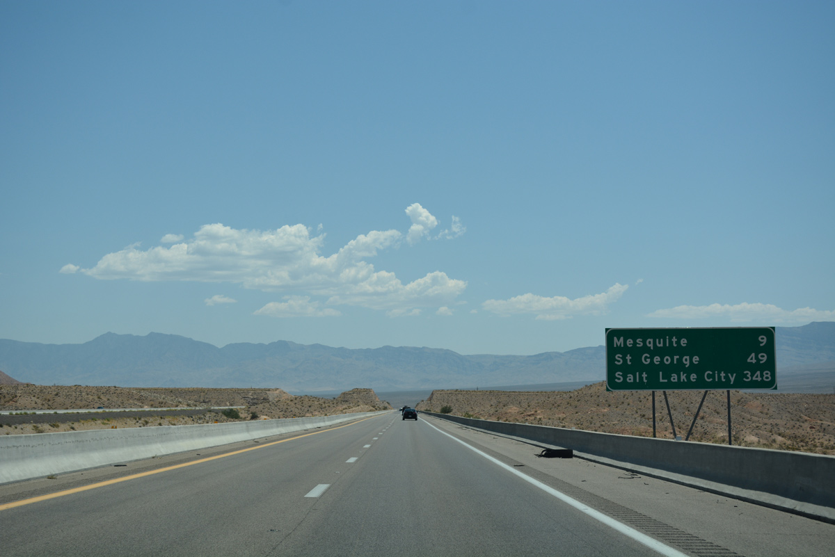
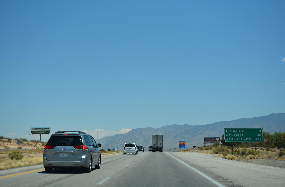
I-15 turns northeast 28 miles to Mesquite on the Arizona border, with Salt Lake City, Utah at 368 miles out.
07/15/17
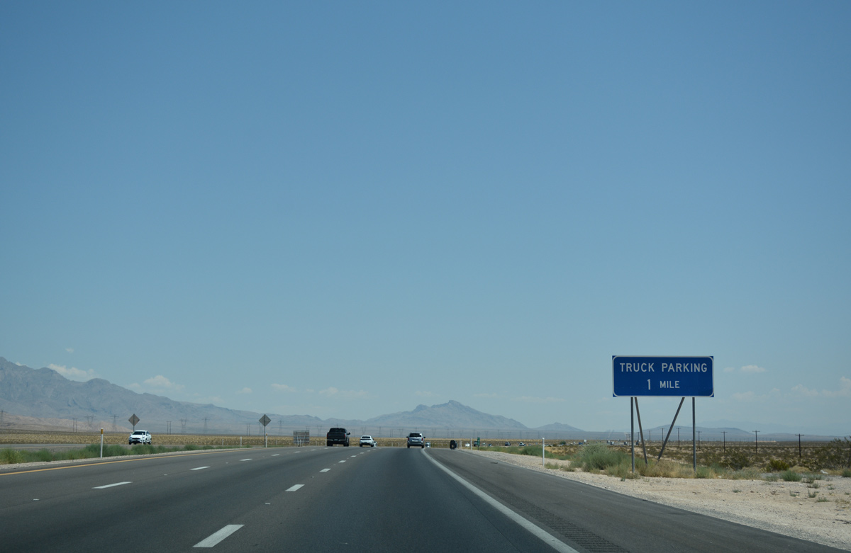
A pull off area for commercial truckers is located one mile ahead along I-15 north.
07/15/17
Truckers routinely use this parking area found four miles south of Exit 100.
07/15/17
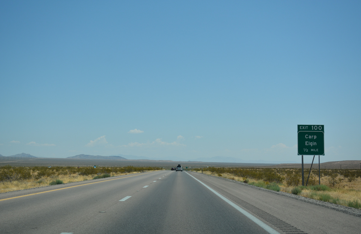
I-15 north meets Carp Elgin Road at a diamond interchange (Exit 100) in one half mile.
07/15/17
Both Carp and Elgin are well removed from I-15 in adjacent Lincoln County. Unimproved roads and trails lead north from Exit 100 to the former railroad sidings.
07/15/17
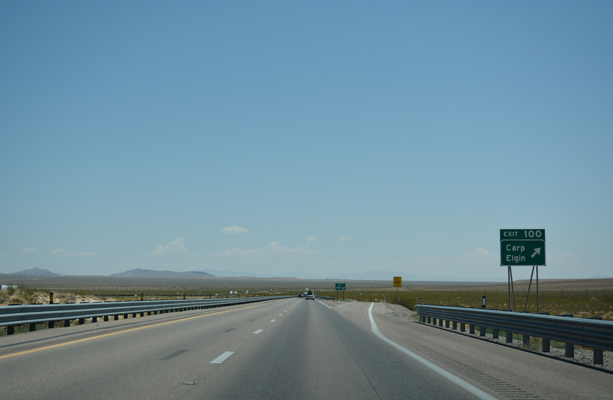
Confirming marker standing along I-15 north beyond Carp Elgin Road at Exit 100.
07/15/17

Interstate 15 beelines through the Mormon Mesa en route to Mesquite.
07/15/17
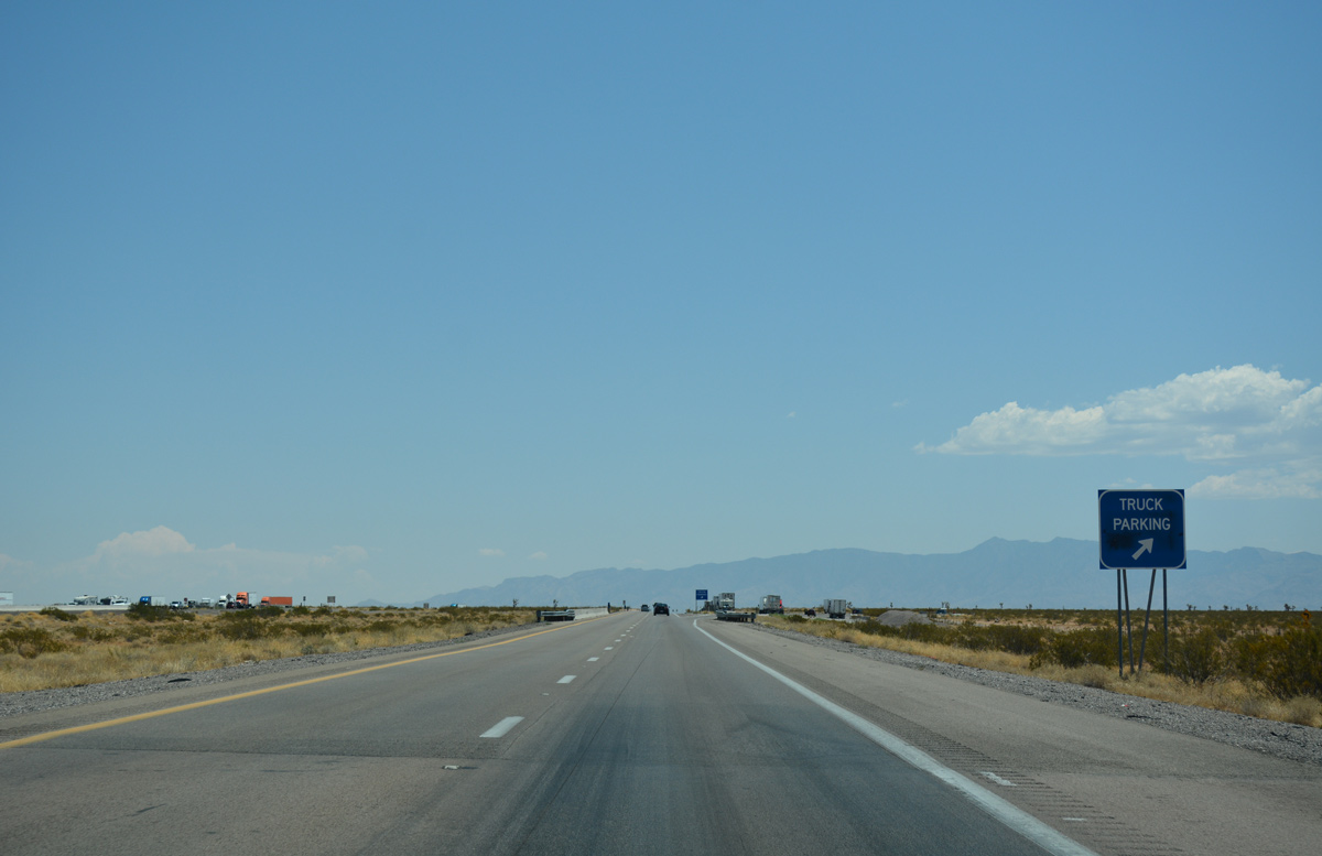
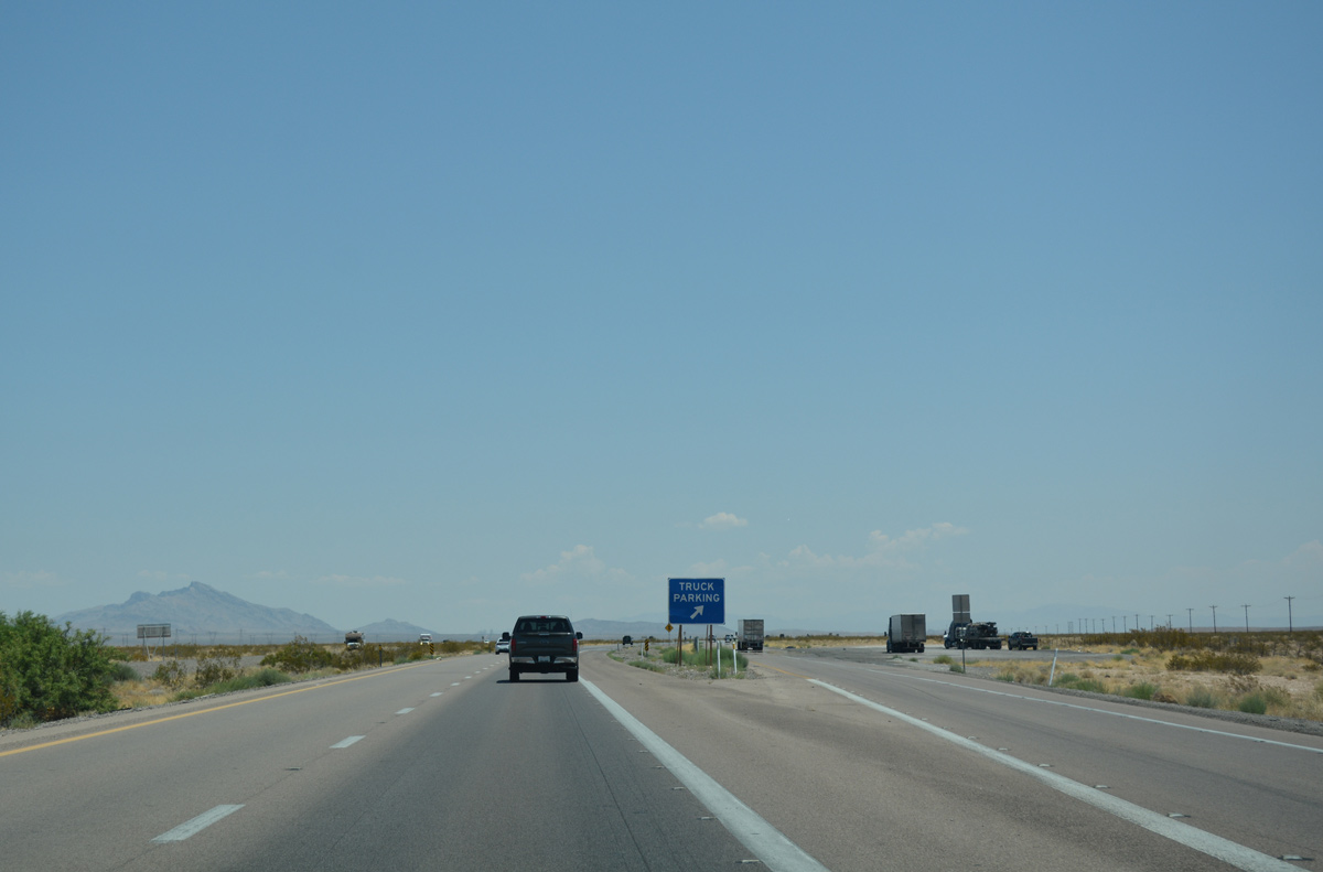
A second truck parking area lines I-15 north ahead of Exit 112 to SR 170.
07/15/17
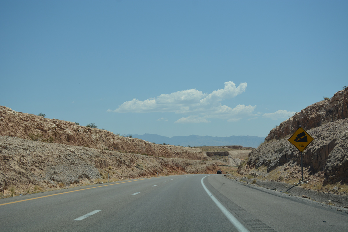
I-15 descends along a five percent grade ahead of Exit 112 for SR 170 east to Riverside and Bunkerville.
07/15/17

SR 170 arcs south and east 11.405 miles from I-15 to the city limits of Mesquite.
07/15/17
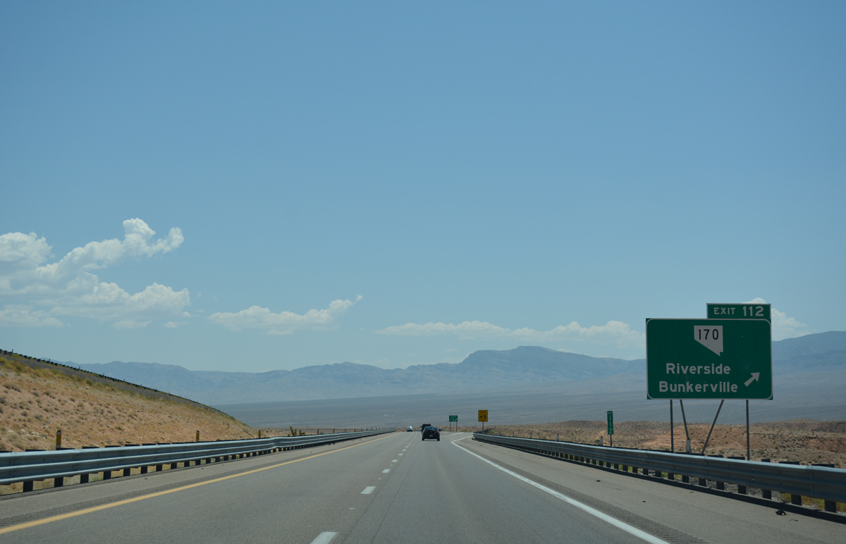
SR 170 travels south from Exit 112 to Riverside along the Virgin River before turning northeast to Bunkerville and Mesquite.
07/15/17
I-15 north advances nine miles to Mesquite, while St. George, Utah debuts 49 miles out from Exit 112.
07/15/17
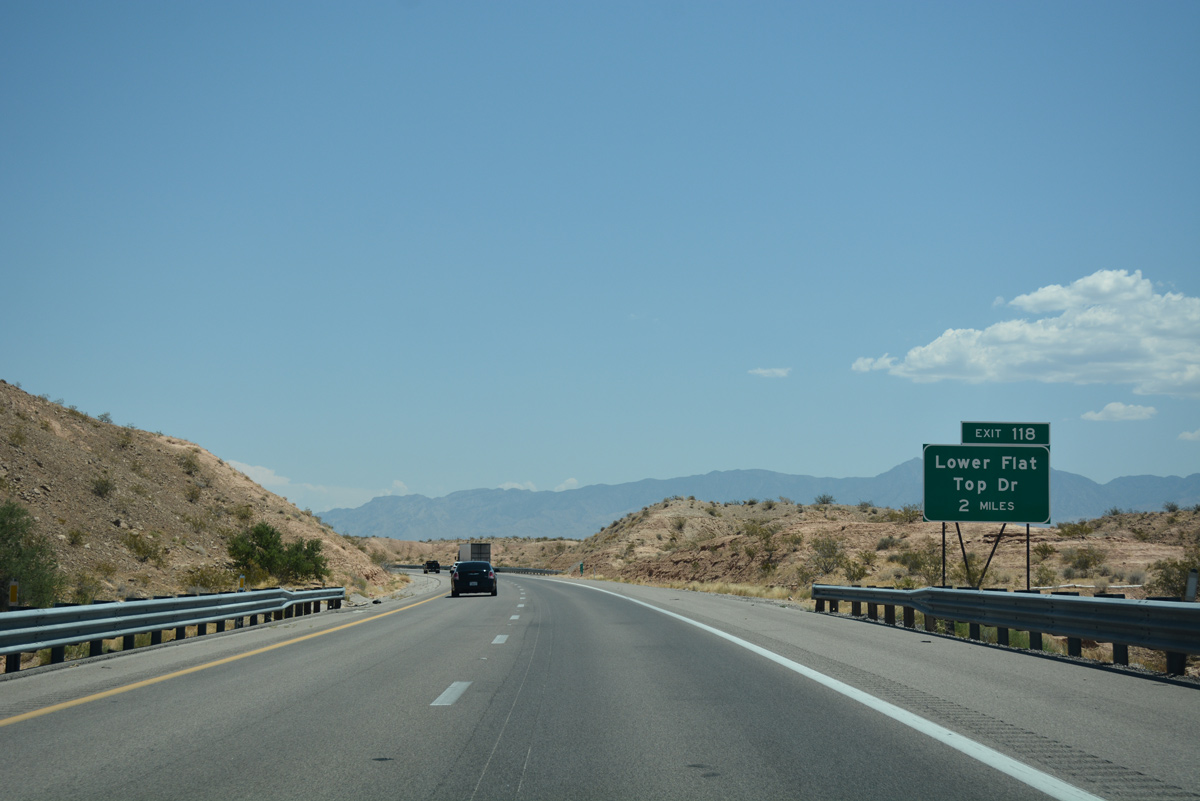
The first of three exits to serve Mesquite occurs two miles ahead at Lower Flat Top Drive.
07/15/17
Lower Flat Top Drive extends north from I-15 into western reaches of Mesquite. The road opened between West Pioneer Drive and I-15 on July 21, 2016.2
07/15/17
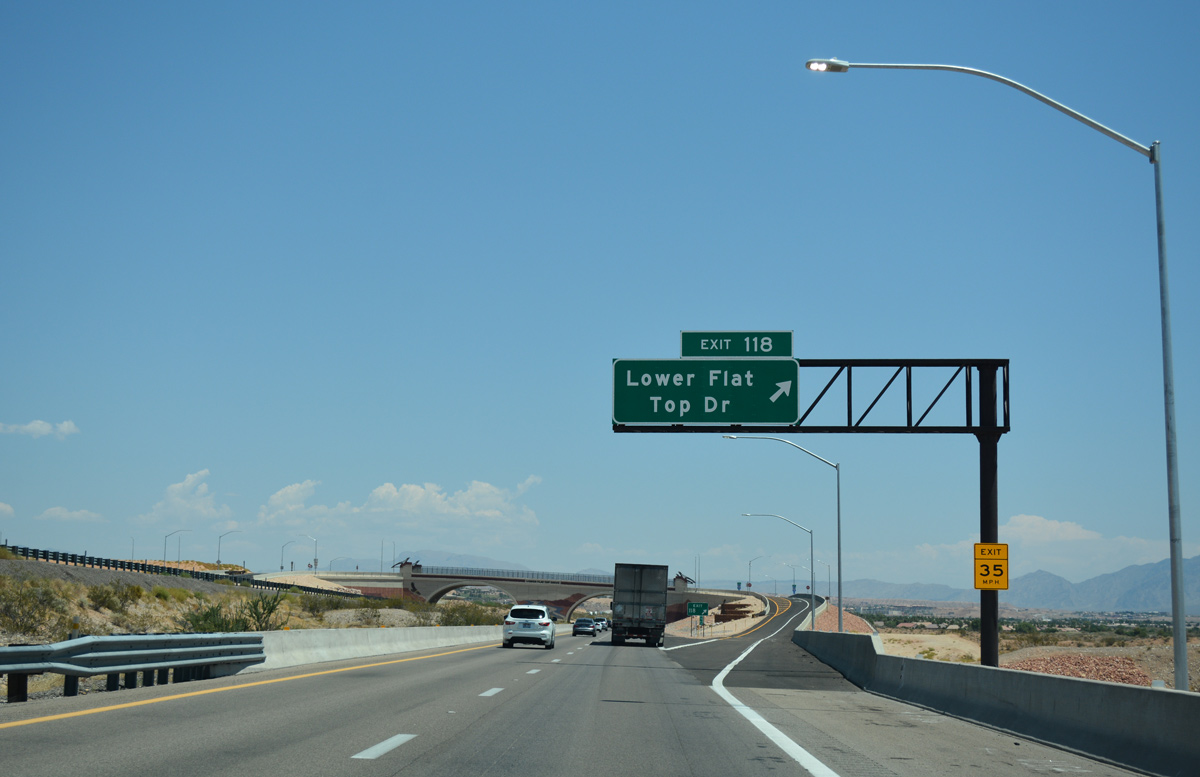
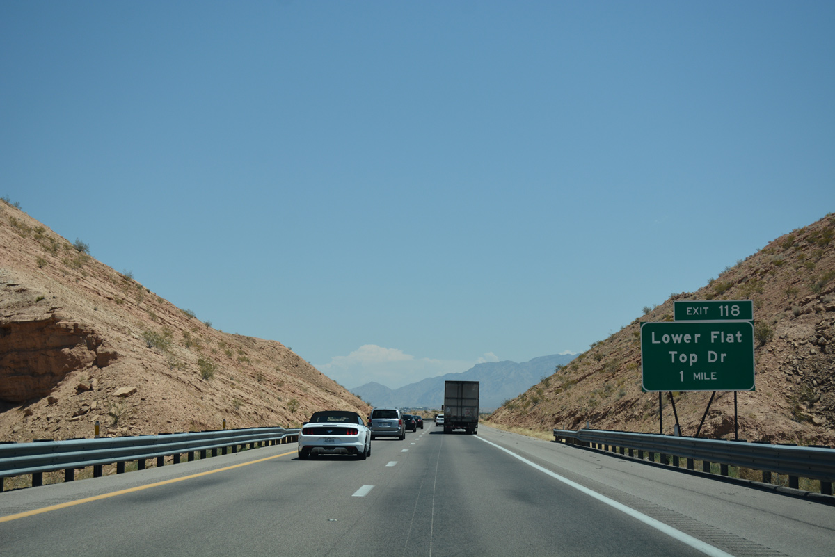
A single lane ramp leaves for the diamond interchange (Exit 118) with Lower Flat Top Drive along I-15 north. Lower Flat Top Drive serves as a local truck route.
07/15/17
I-15 continues into Mesquite beyond Lower Flat Top Drive.
07/15/17
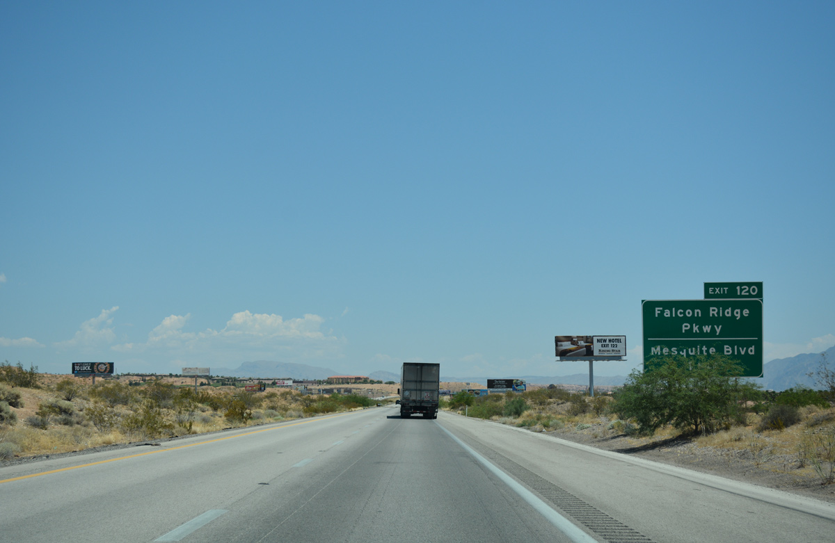
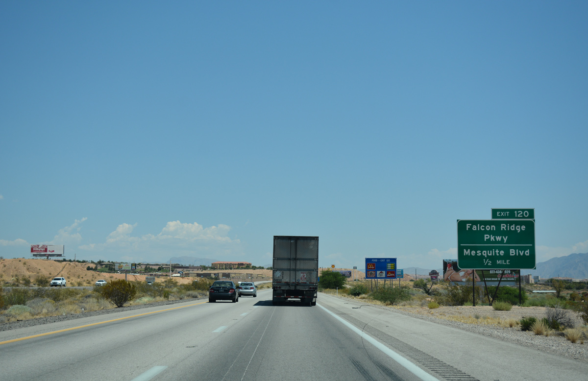
Exit 120 joins I-15 north with Falcon Ridge Parkway and Mesquite Boulevard in one mile.
07/15/17
Falcon Ridge Parkway travels northward serving subdivisions in the north part of the Mesquite.
07/15/17
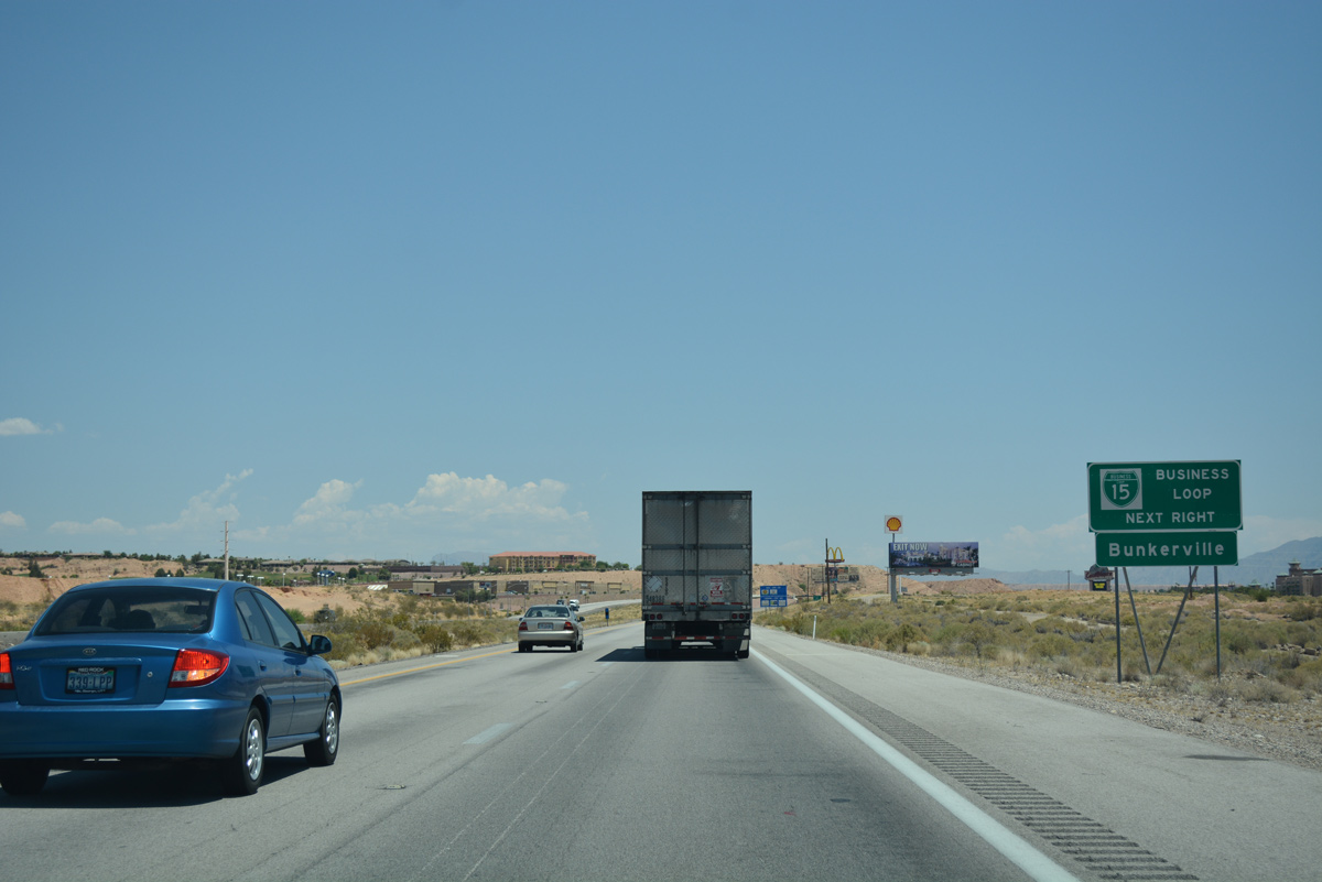
The locally maintained business loop for I-15 follows Mesquite Boulevard east into Mesquite. Mesquite Boulevard previously doubled as SR 144 until the route was removed from the system in late 2005.
07/15/17
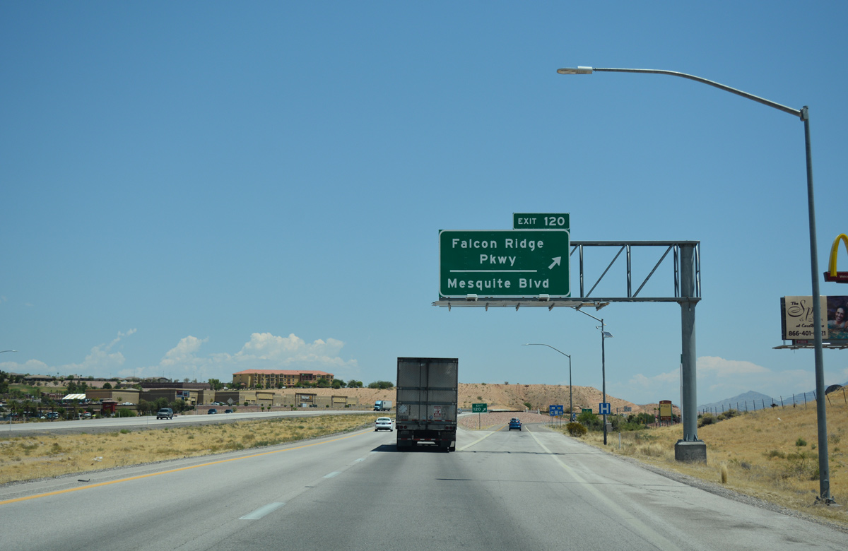
A dumbbell interchange joins I-15 with Mesquite Boulevard and Falcon Ridge Parkway at Exit 120.
07/15/17
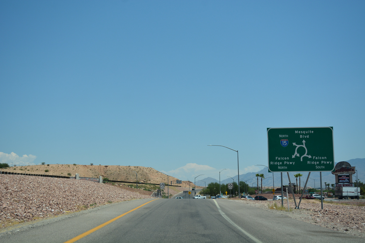
Falcon Ridge Parkway extends south from Exit 120 to Hafen Lane while Mesquite Boulevard branches east into Downtown.
07/15/17
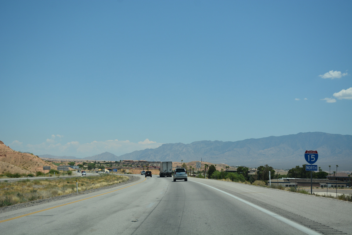
I-15 north enters a double S-curve beyond Mesquite Boulevard.
07/15/17
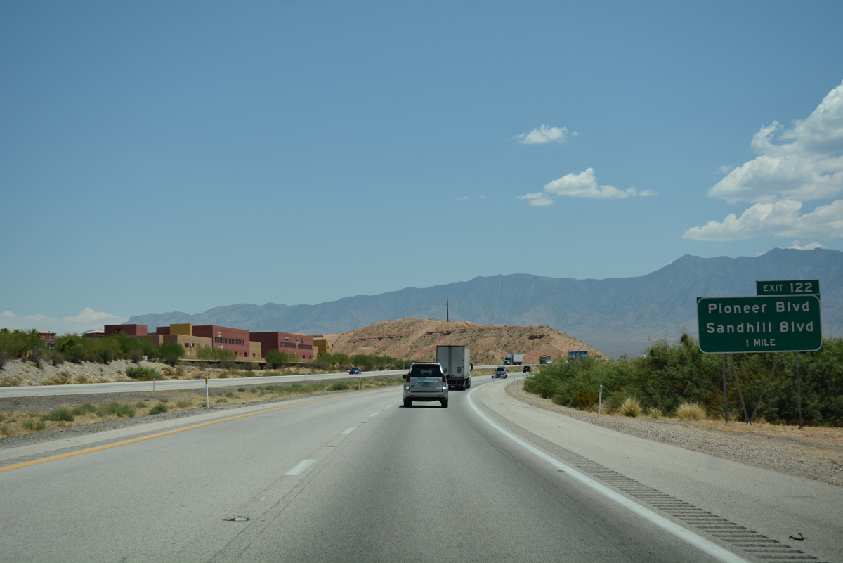
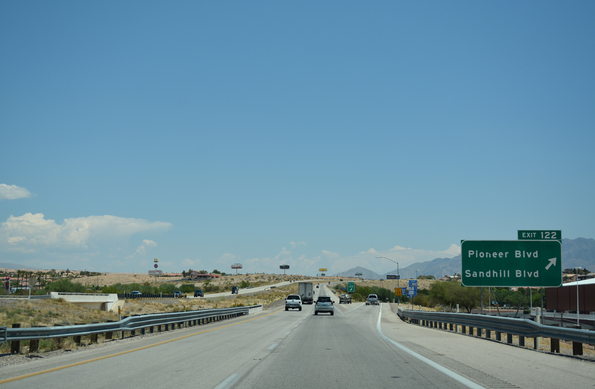
Exit 122 for Pioneer and Sandhill Boulevards represents the last interchange within the Silver State along I-15 north.
07/15/17
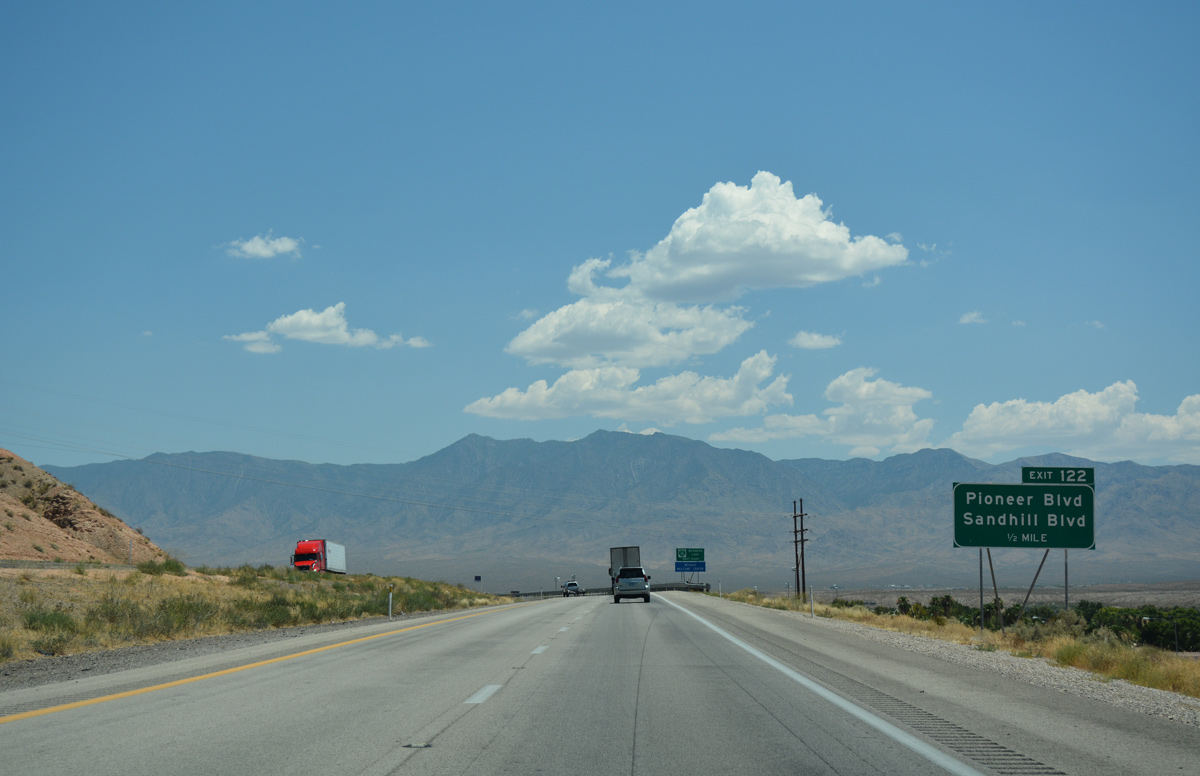
Sandhill Boulevard returns the business loop from Downtown while Pioneer Boulevard doubles back west to parallel I-15.
07/15/17
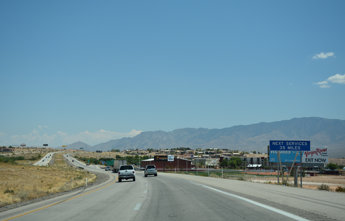
The next traveler services along I-15 north previously were in St. George, Utah, but additional services were added at Littlefield, Arizona in eight miles.
07/15/17
Several commercial businesses line Sandhill Boulevard south while casino resorts and residential neighborhoods are located along Pioneer Boulevard.
07/15/17
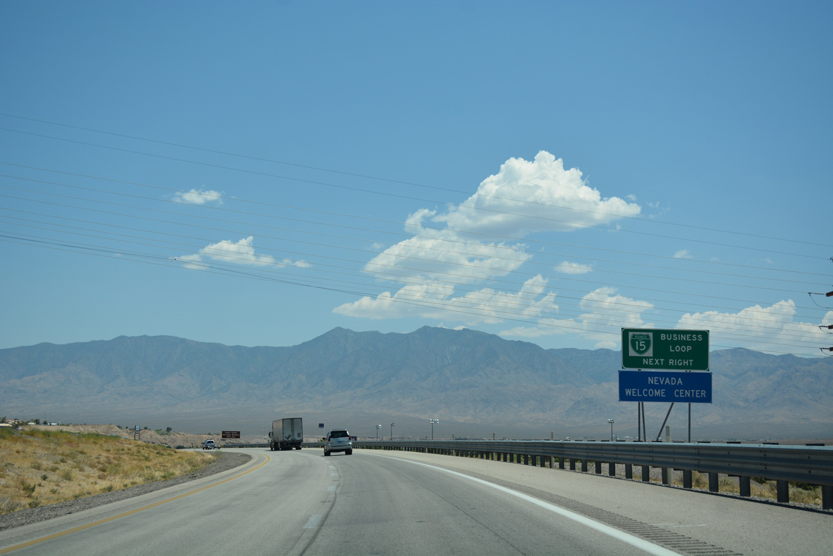
I-15 leaves Mesquite and the Silver State on the ensuing stretch to Littlefield, Arizona. St. George lies 38 miles ahead in southern Utah beyond the Virgin River Gorge.
07/15/17

References:
- Moapa River Indian Reservation wikipedia page.
- "New I-15 interchange with unique archway design, opening ceremony." St George News, July 18, 2016.
Photo Credits:
- Brent Ivy: 08/12/11, 07/15/17
- ABRoads: 07/14/18
Page Updated Saturday February 19, 2022.