
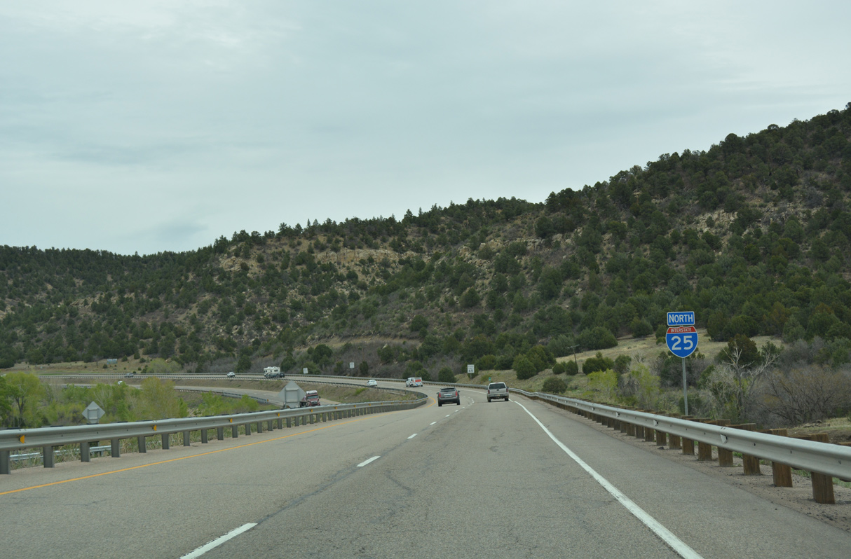
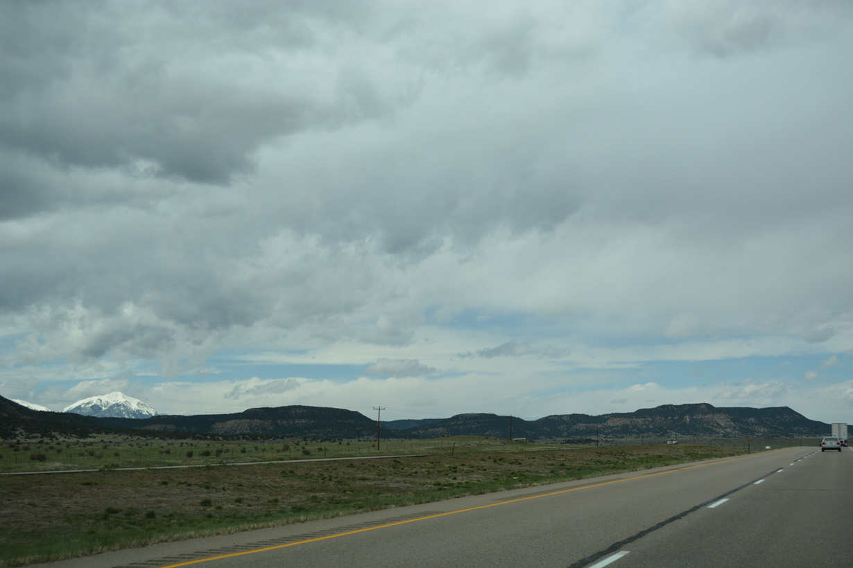
Interstate 25 North - Trinidad to Aguilar


 North
North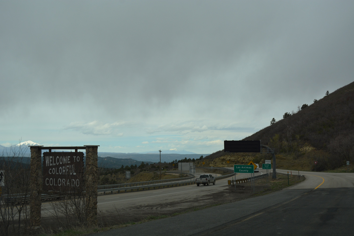
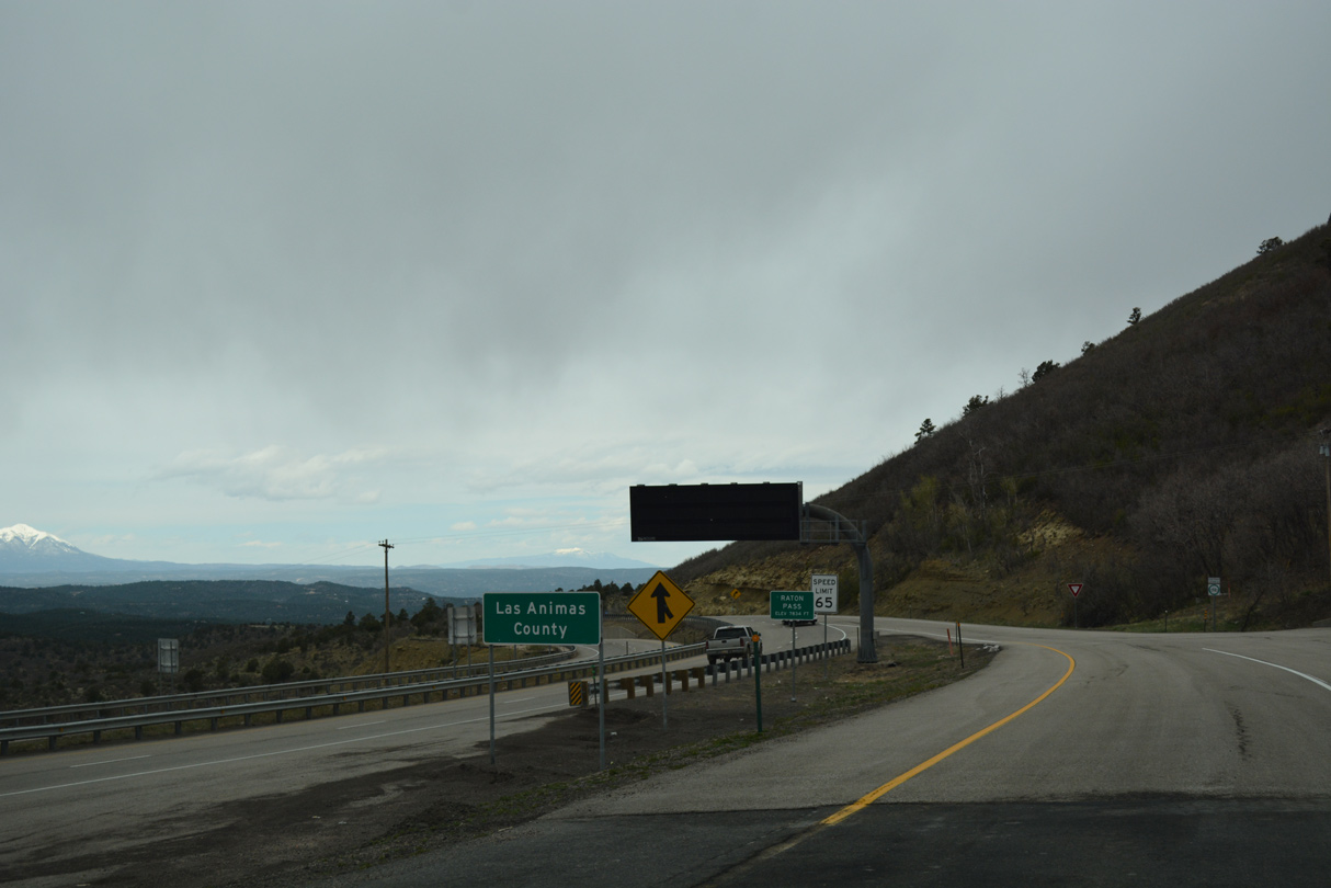
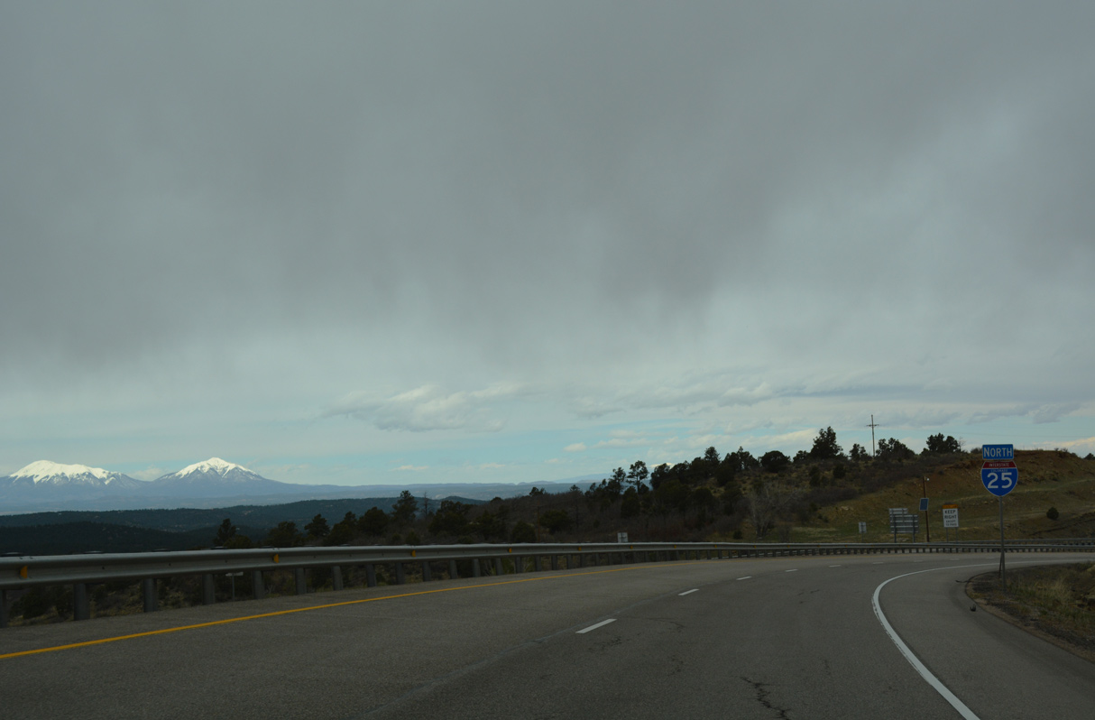
I-25/U.S. 85-87 enters the Centennial State through Raton Pass (el. 7,834 feet).
04/28/17
04/28/17
The BNSF Railroad siding of Wootton lies just west of Interstate 25 by Raton Creek.
04/28/17
04/28/17
04/28/17
04/28/17
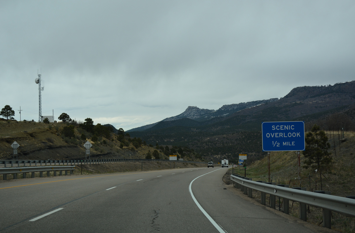
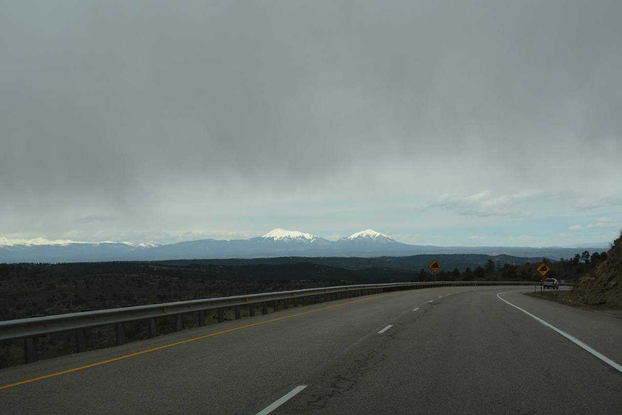
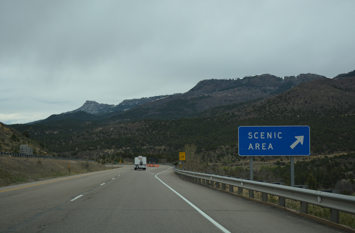
A scenic overlook lines the east side of Interstate 25 by Fishers Peak Mesa.
04/28/17
04/28/17
04/28/17
04/28/17
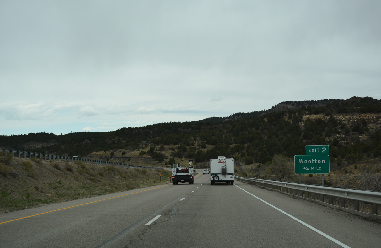
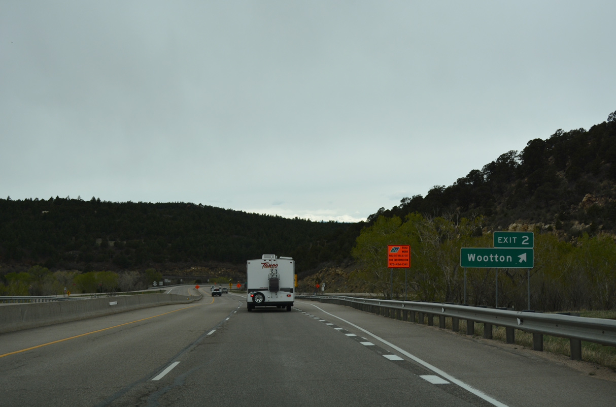
A folded diamond interchange connects Interstate 25 with Old Raton Pass Road to Wootton at Exit 2.
04/28/17
04/28/17
04/28/17
04/28/17
04/28/17
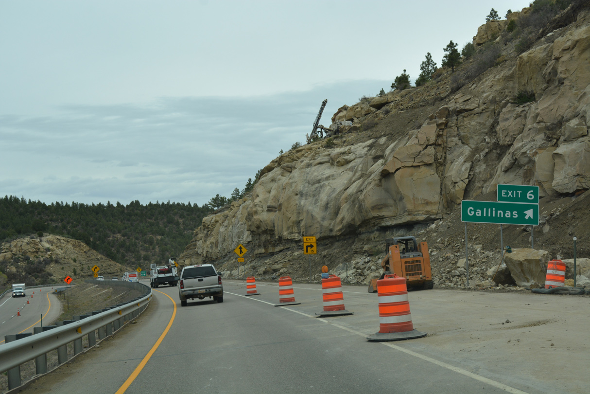
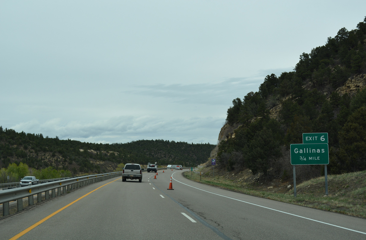
Exit 6 constitutes a set of right in right out (RIRO) ramps for Gallinas.
04/28/17
04/28/17
04/28/17
04/28/17
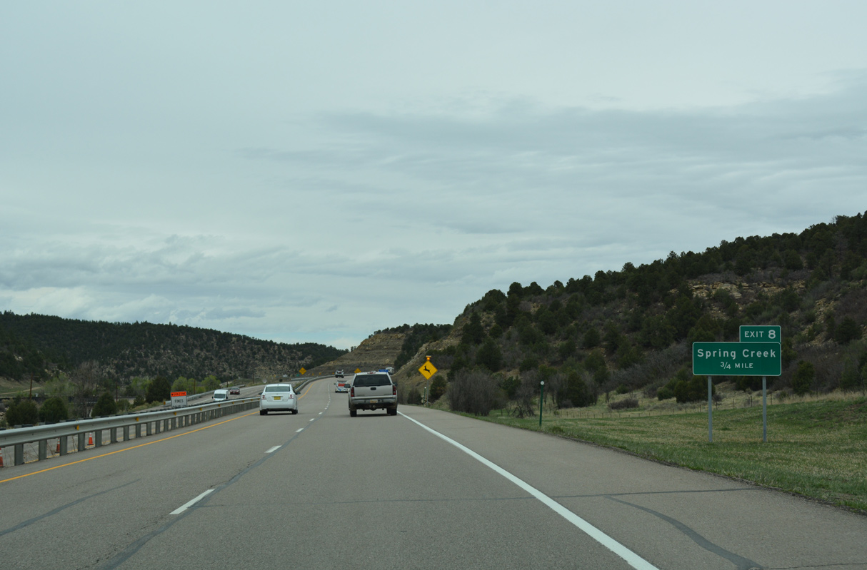
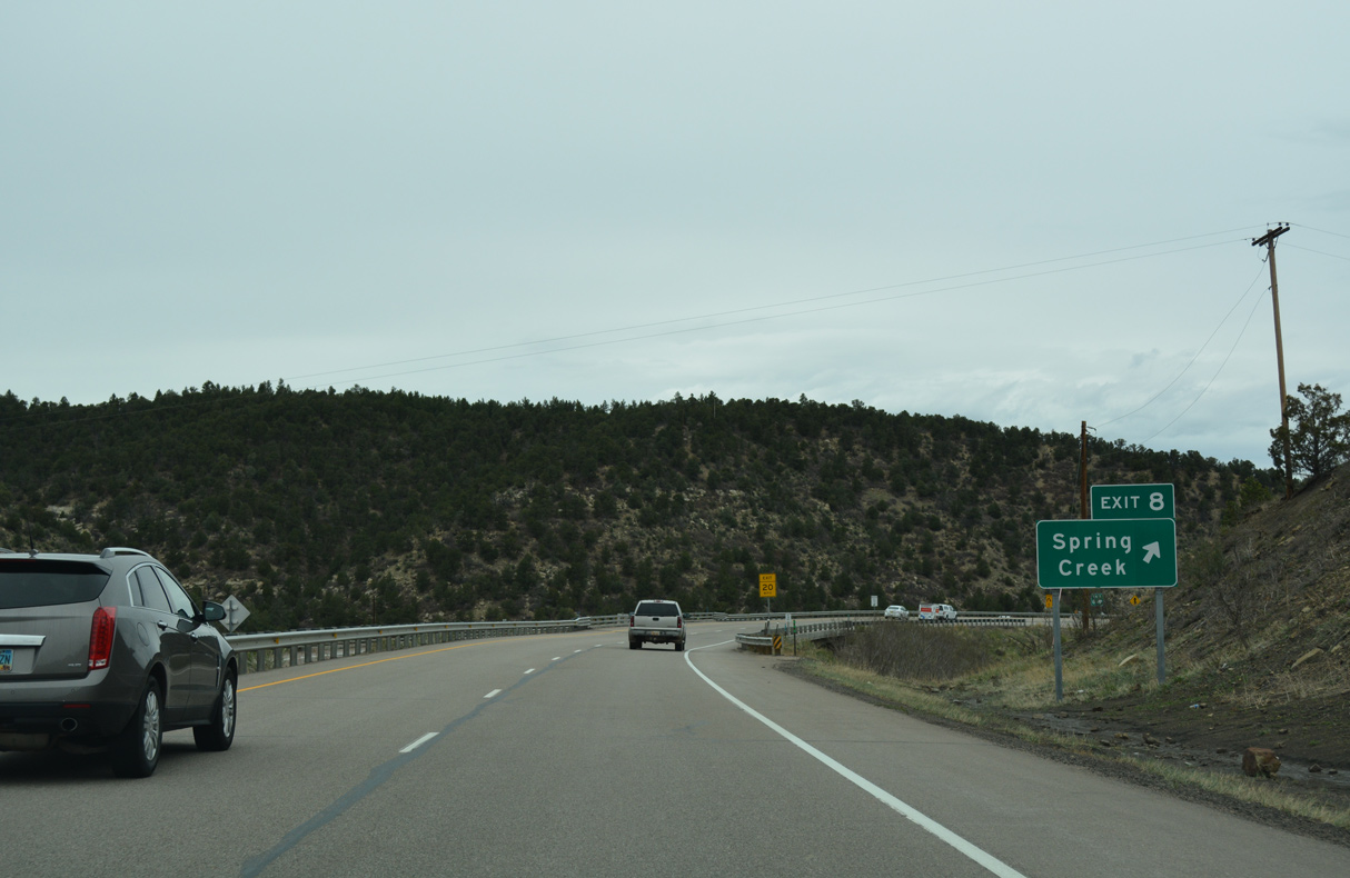
The folded diamond interchange at Exit 8 joins Interstate 25 with ranch roads to Spring Creek.
04/28/17
04/28/17
04/28/17
04/28/17
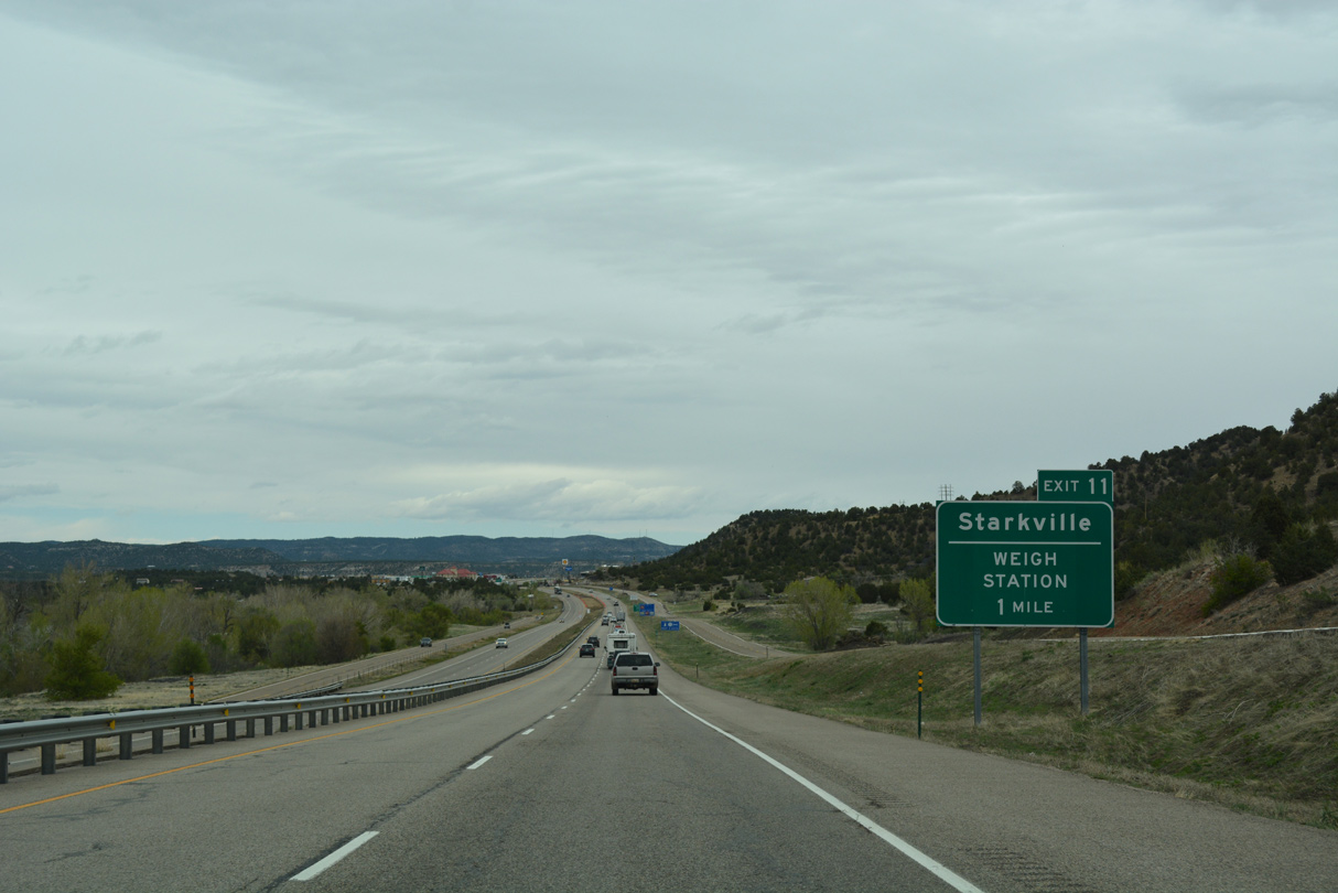
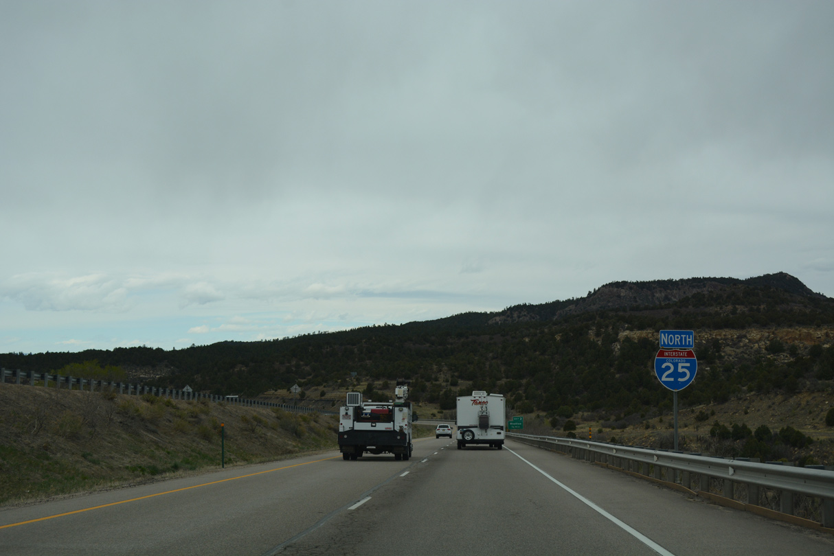
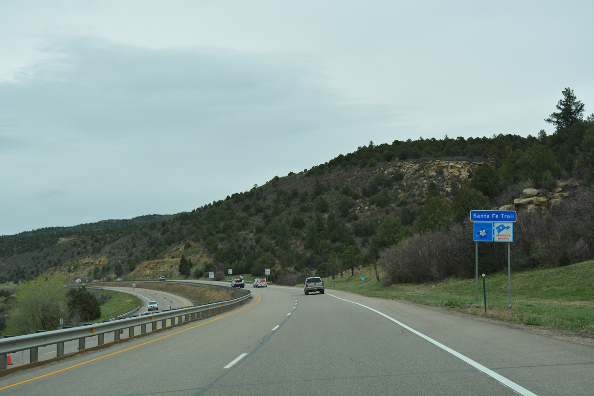
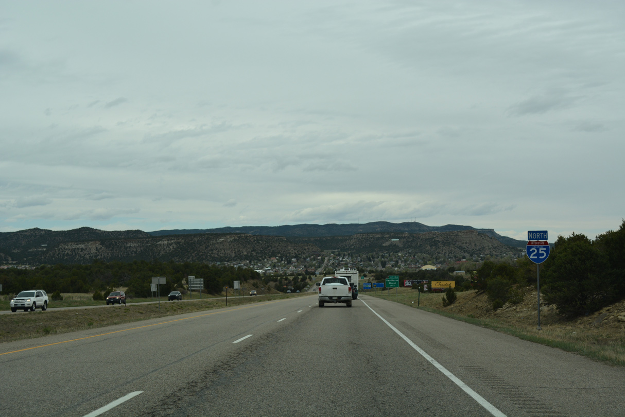
Interstate 25 advances north by Fishers Peak and the small town of Starkville to Exit 11 for Santa Fe Trail (CR 69.3), Toupal Drive and CR 69.1.
04/28/17
04/28/17
04/28/17
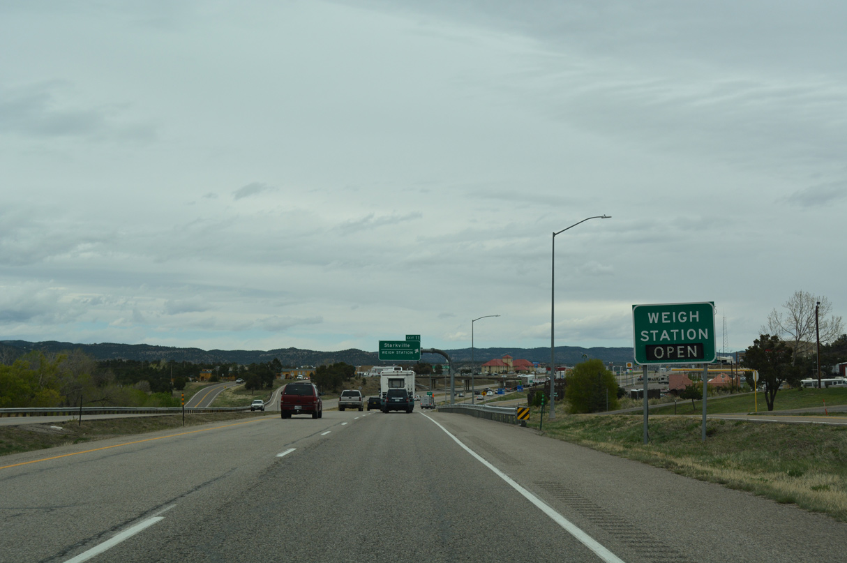
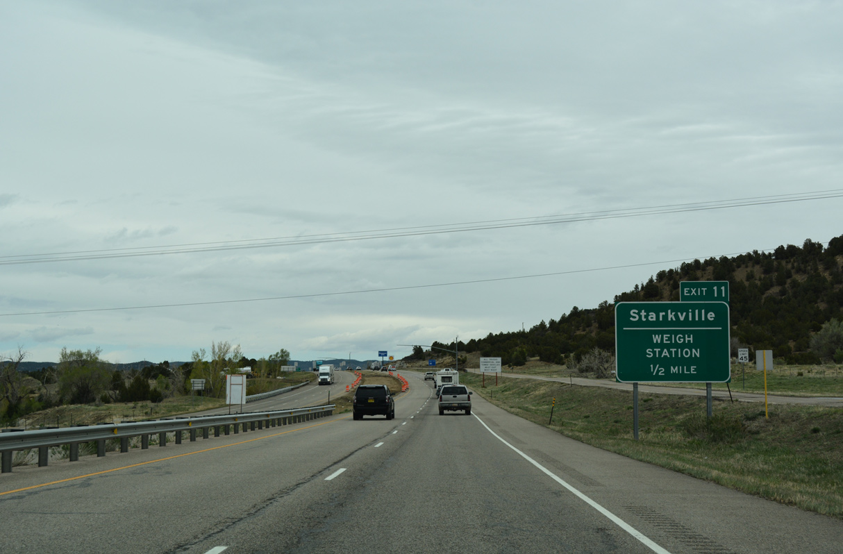
A weigh station for commercial trucks operates along the northbound entrance ramp at Exit 11.
04/28/17
04/28/17
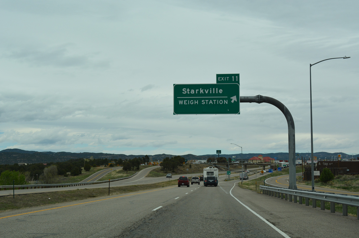
Costing $12.6 million, work underway from July 2021 to late 2022 converted the diamond interchange at Exit 11 into a dumbbell with roundabouts. A new bridge was also built across I-25, 100 feet south of the original, along with a 10 foot wide sidewalk and street lighting.1
04/28/17
04/28/17
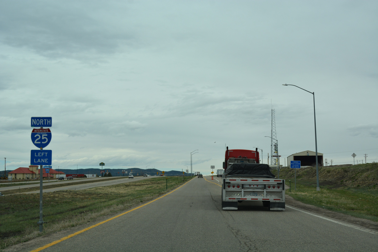
The Trinidad Weigh Station
04/28/17
04/28/17
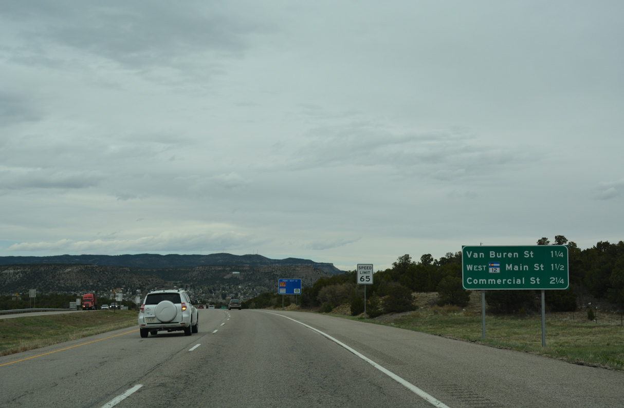
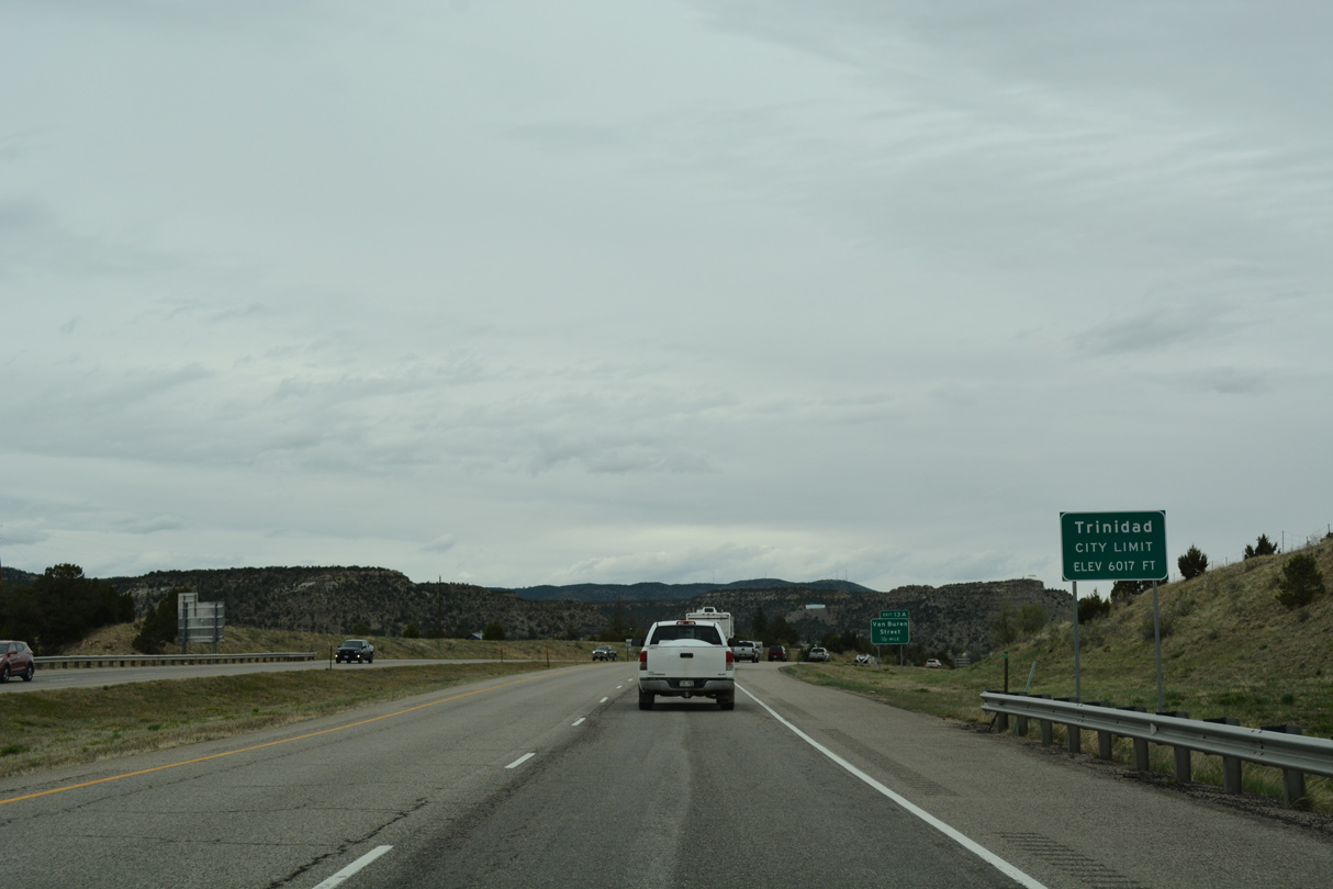
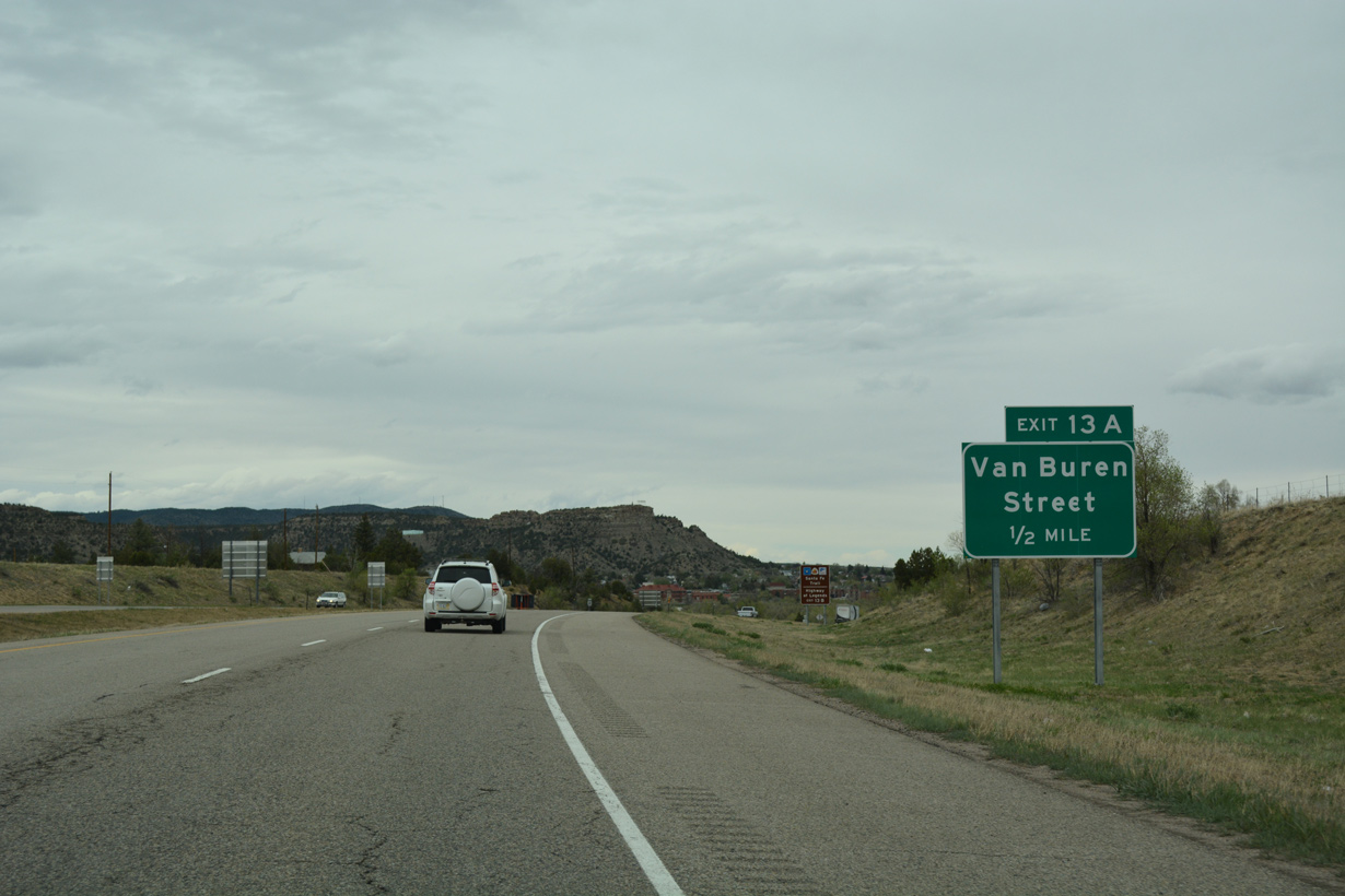
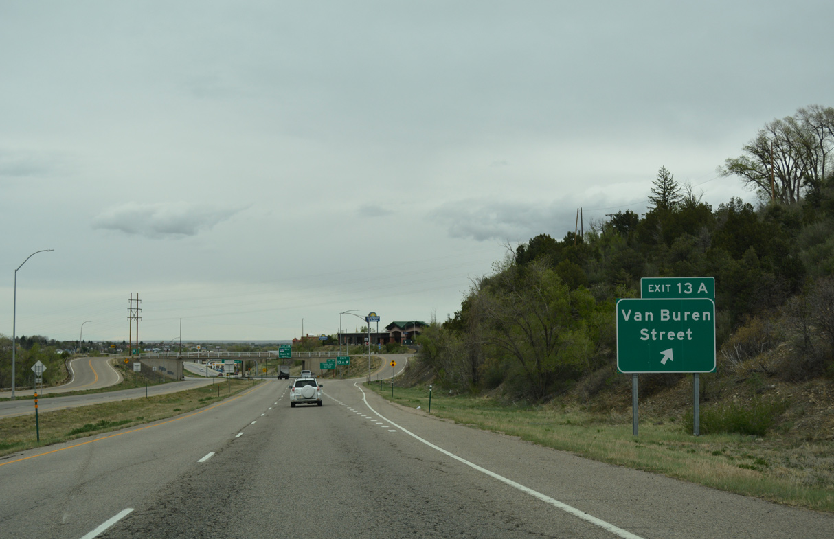
Van Buren Street is the first of four exits from Interstate 25 north for the city of Trinidad.
04/28/17
04/28/17
04/28/17
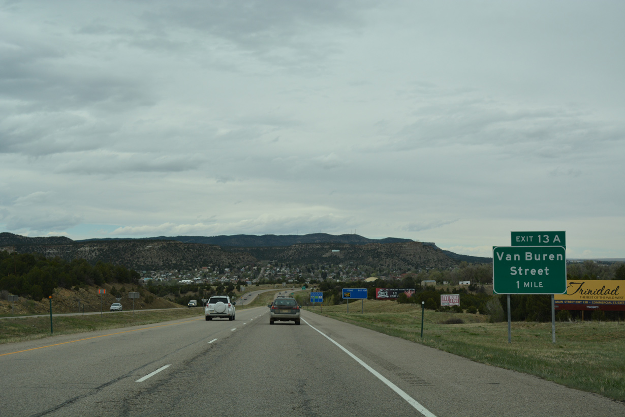
Van Buren Street links I-25 at CR 20.8 with Santa Fe Trail, 0.36 miles east from Exit 13A.
04/28/17
04/28/17
04/28/17
04/28/17
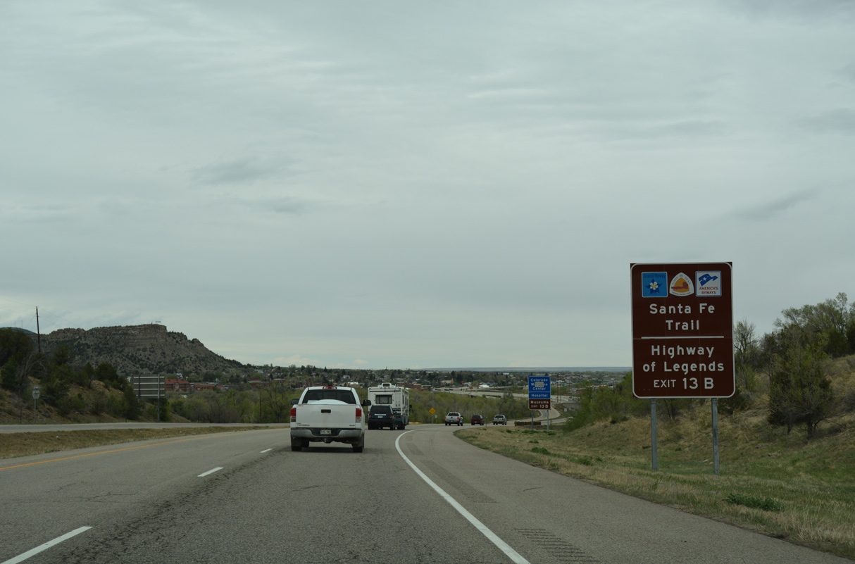
SH 12 is part of the Highways of Legend scenic byway. The state highway begins at Exit 13B.
04/28/17
04/28/17
04/28/17
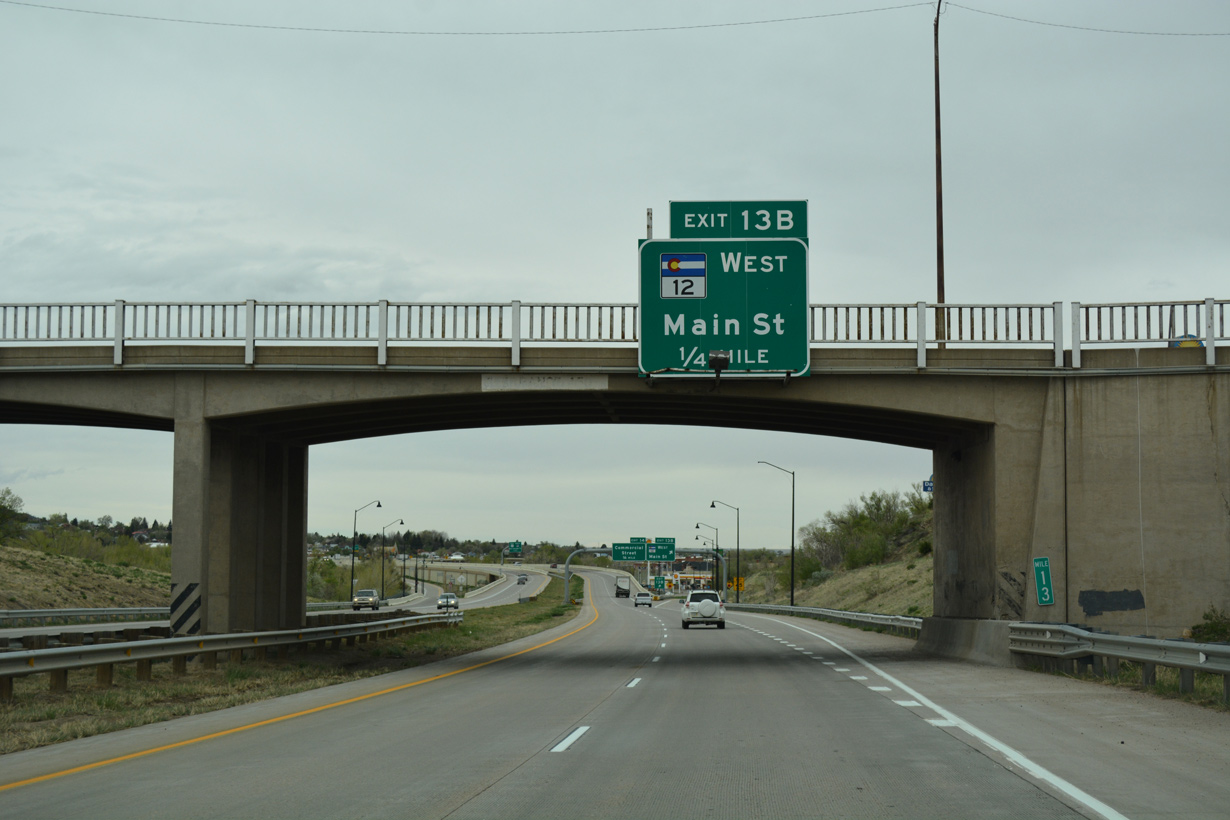
Exit 13B is a diamond interchange with SH 12 along W Main Street. SH 12 follows Santa Fe Trail north across the Purgatoire River to a roundabout with Animas Street. SH 12 turns west along a stair stepped route onto Robinson Avenue for Jansen and the Picketwire Valley.
04/28/17
04/28/17
Traveling 70.39 miles overall, SH 12 runs west across Park Plateau to Stonewall and north along the Sangre De Cristo Mountains to La Veta and U.S. 160.
04/28/17
04/28/17
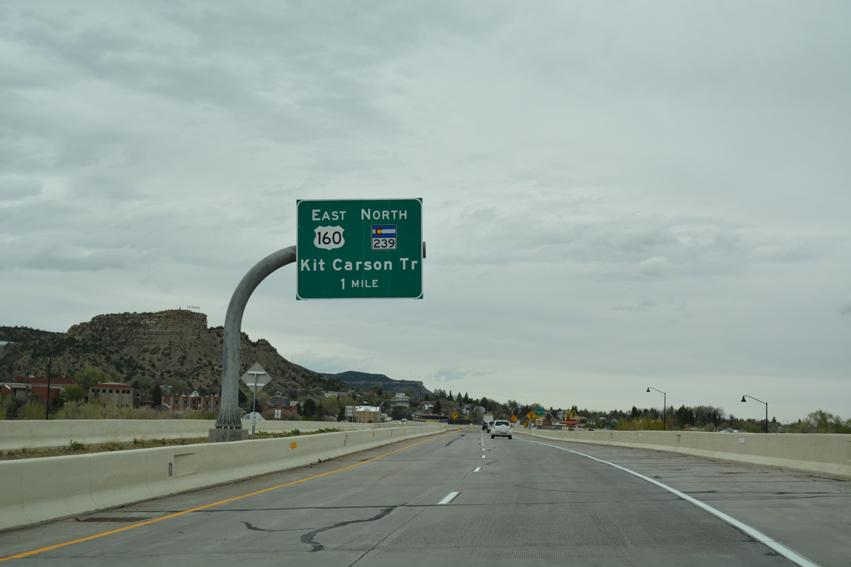
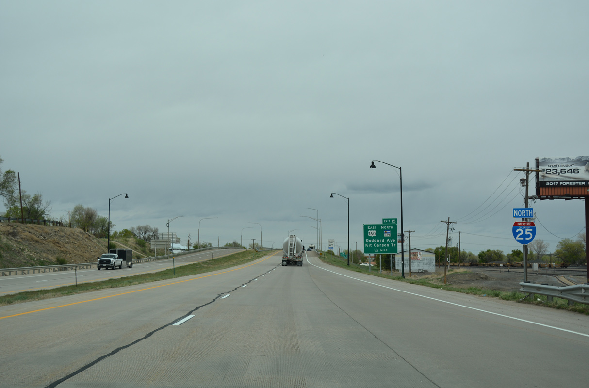
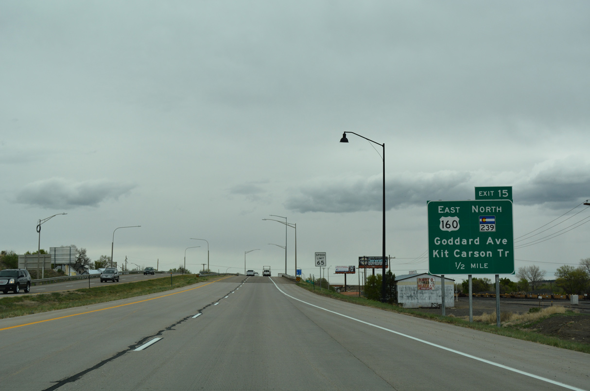
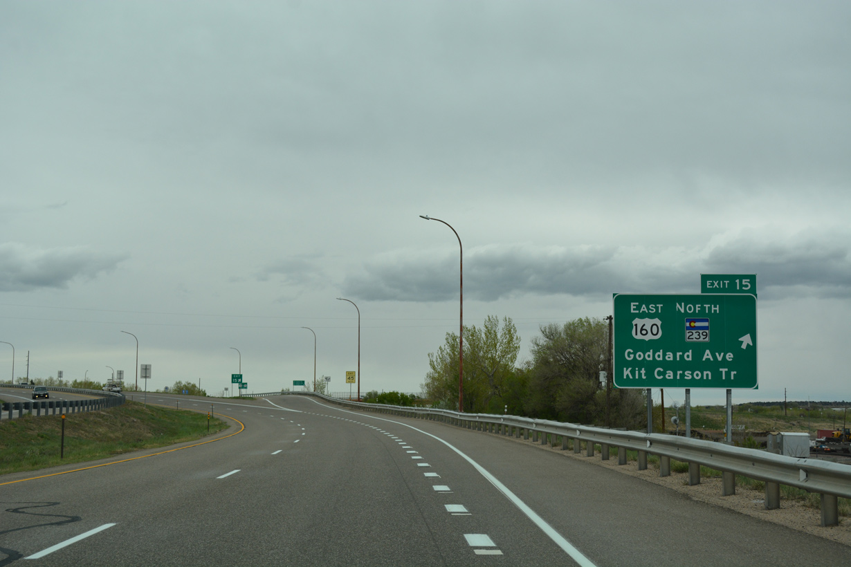
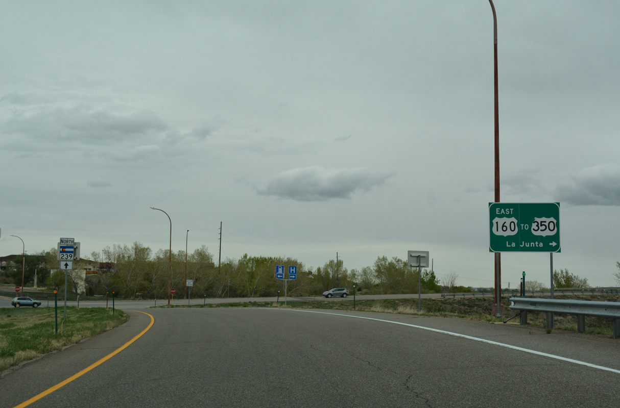
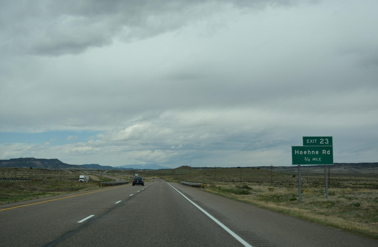
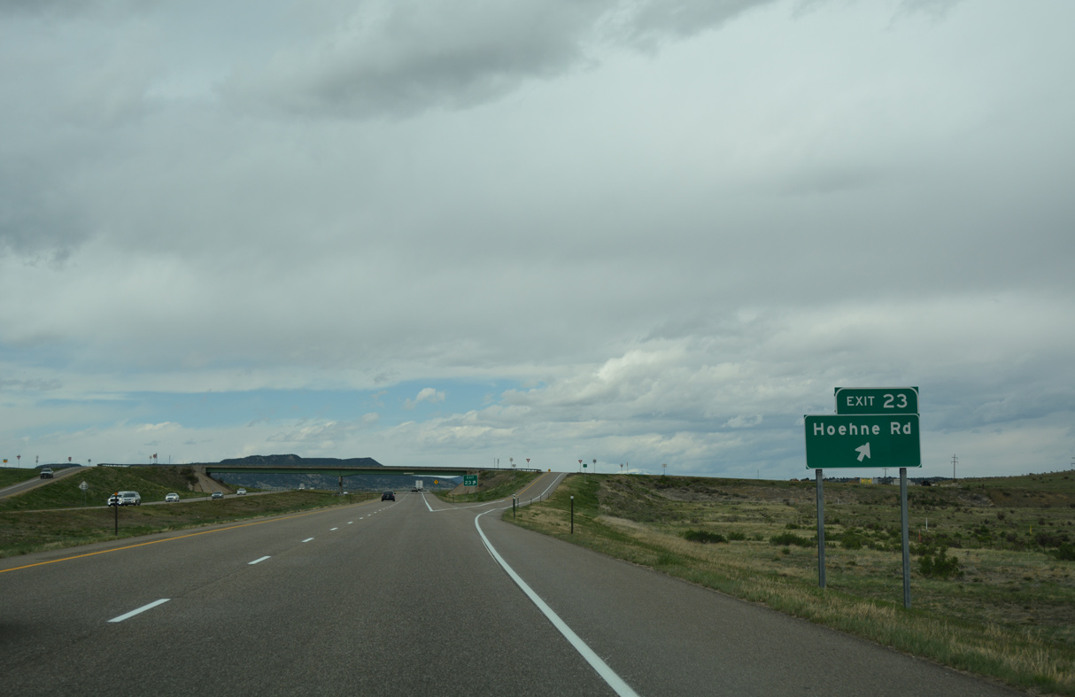
U.S. 160 west and SH 239 (Freedom Road) south tie into I-25 at a diamond interchange (Exit 15) with Goddard Avenue in one mile.
04/28/17
04/28/17

Interstate 25 spans the Purgatoire River west of the Trinidad business district.
04/28/17
04/28/17
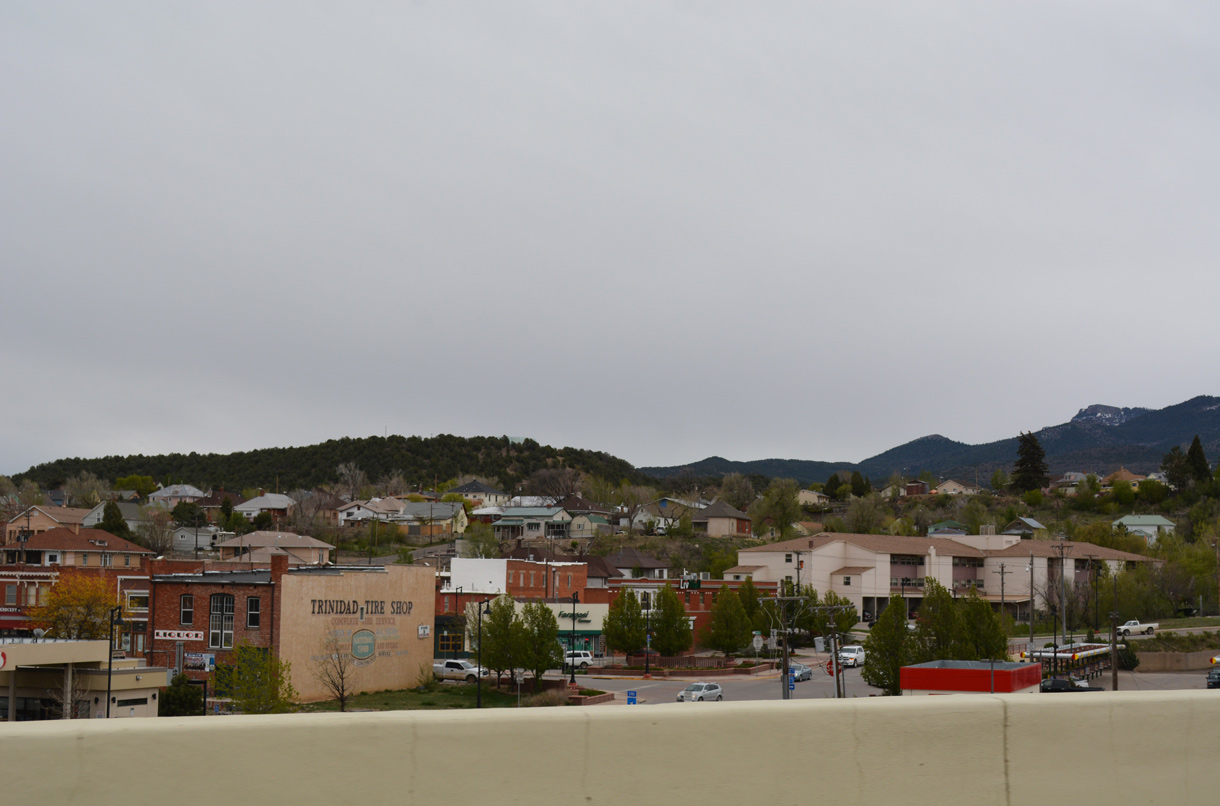
Interstate 25 was reconstructed around Downtown Trinidad in 2009-11. Ramps at Animas and University Street were removed and a new exchange built further south at Main Street.
04/28/17
04/28/17
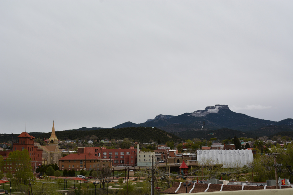
Fishers Peak rises to the southeast of Trinidad.
04/28/17
04/28/17
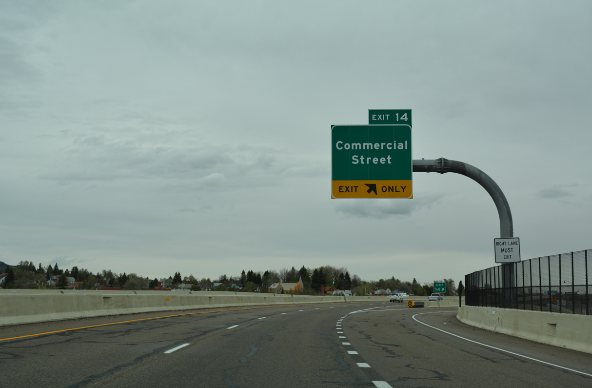
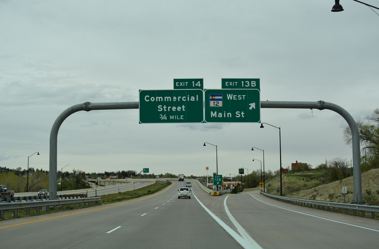
Interstate 25 north continues along a viaduct over SH 12 (University Street) to a modified diamond interchange (Exit 14) with Commercial Street and Colorado Avenue.
04/28/17
04/28/17
04/28/17
U.S. 160 travels 152.96 miles from I-25/U.S. 85-87 in Trinidad to the Kansas state line east of Walsh.
04/28/17
04/28/17
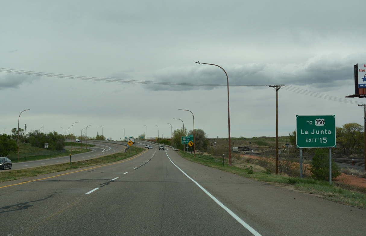
U.S. 160 (Kit Carson Trail) leads 6.16 miles northeast from I-25 to the west end of U.S. 350. 72.46 miles in length, U.S. 350 runs northeast to U.S. 50 at La Junta.
04/28/17
04/28/17
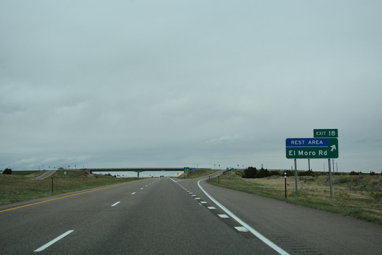
SH 239 spurs 3.27 miles northeast from I-25/U.S. 160 to CR 32 and CR 239 at El Moro.
04/28/17
04/28/17
Goddard Avenue extends 0.69 miles west from U.S. 160 to Arizona Avenue in the residential street grid of Trinidad.
04/28/17
04/28/17
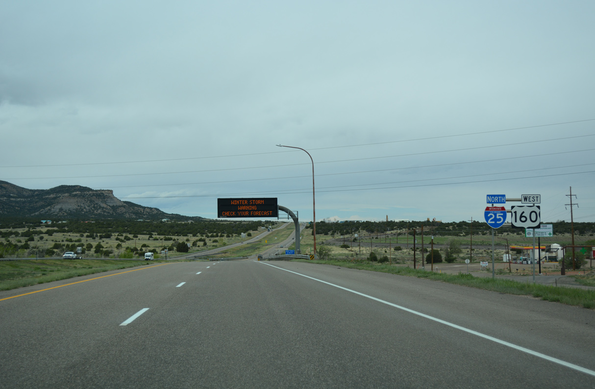
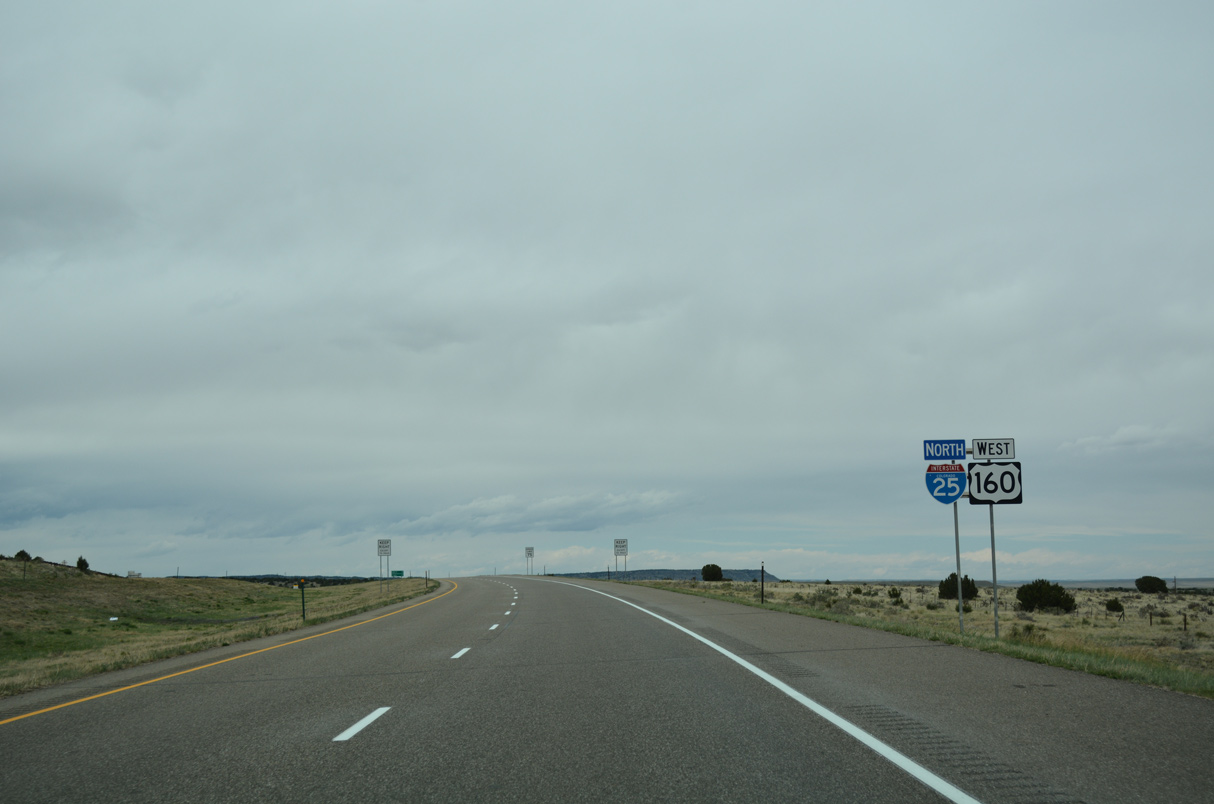
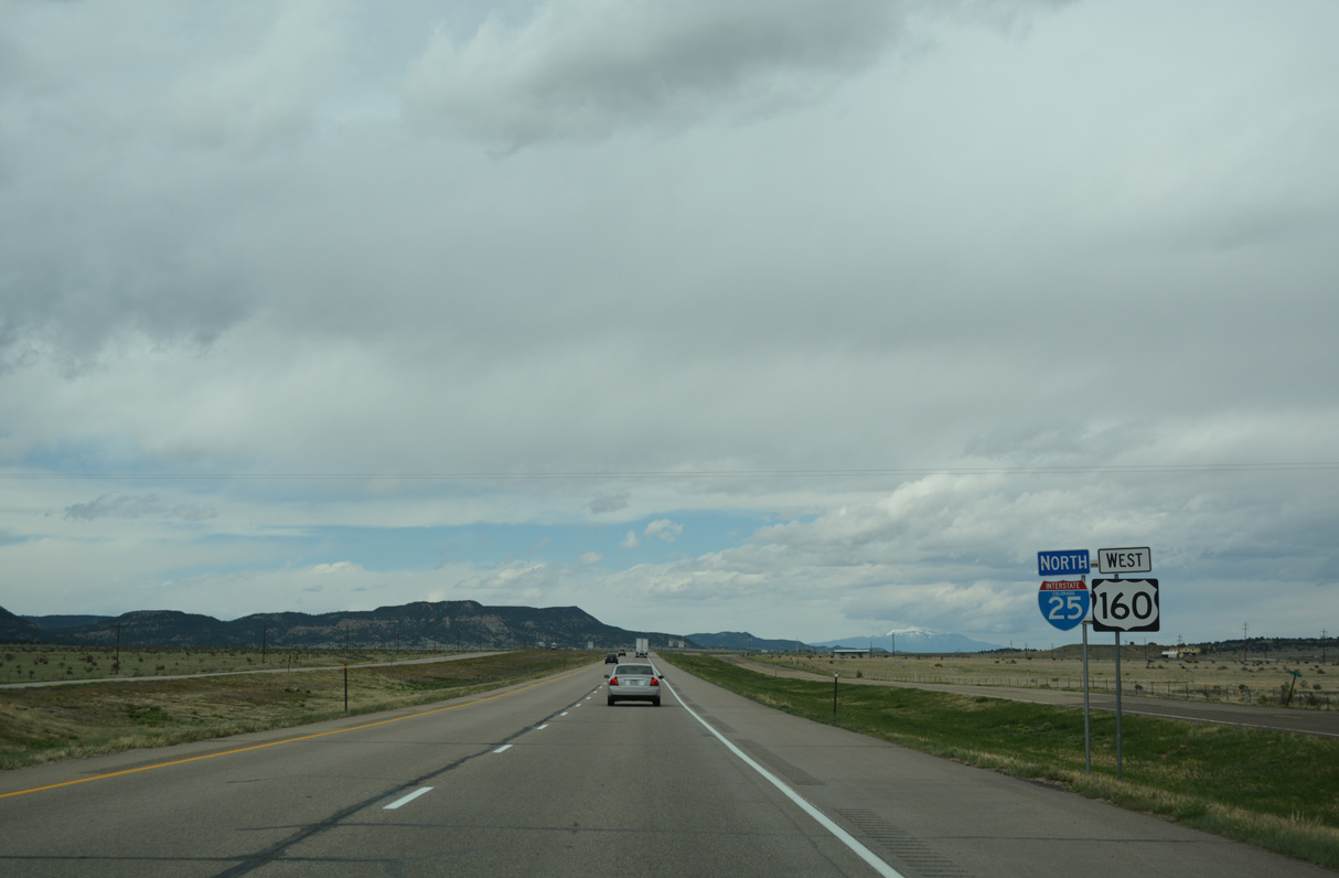
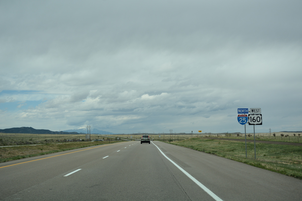
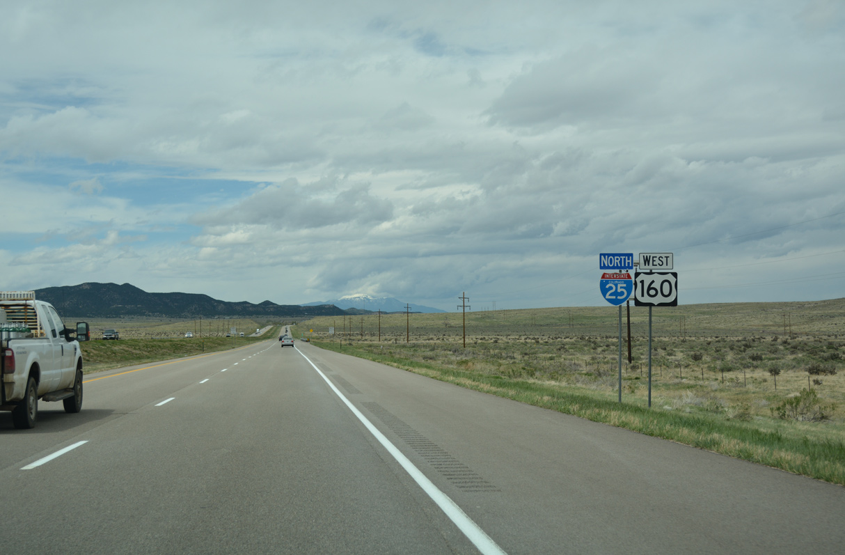
U.S. 160 west overlaps with I-25/U.S. 85-87 north for 38.22 miles between Trinidad and Walsenburg.
04/28/17
04/28/17
North  West
West
04/28/17

04/28/17
04/28/17
04/28/17
04/28/17
04/28/17
04/28/17
04/28/17
04/28/17
04/28/17
04/28/17
04/28/17
04/28/17
04/28/17
04/28/17
04/28/17
04/28/17
04/28/17
04/28/17
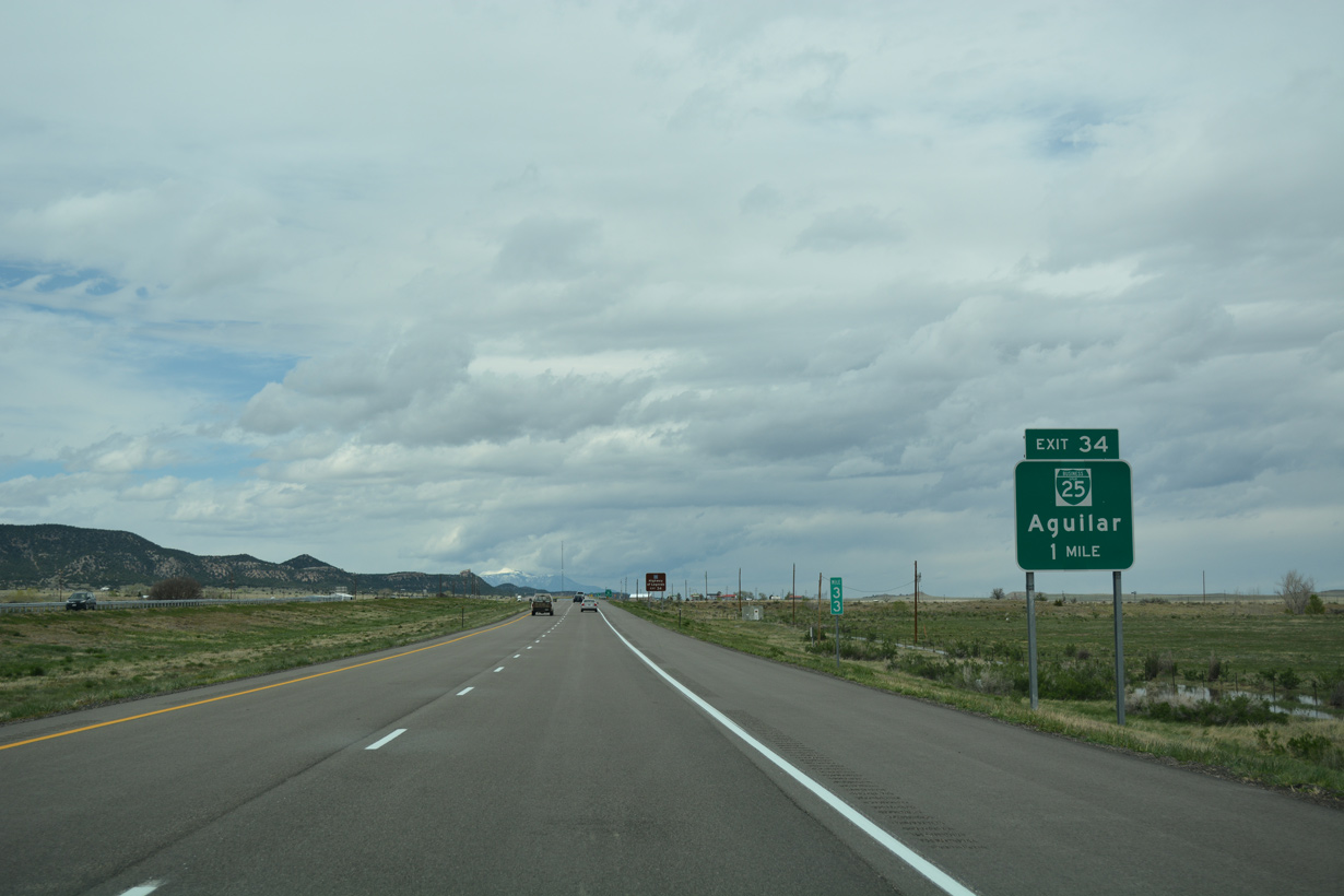
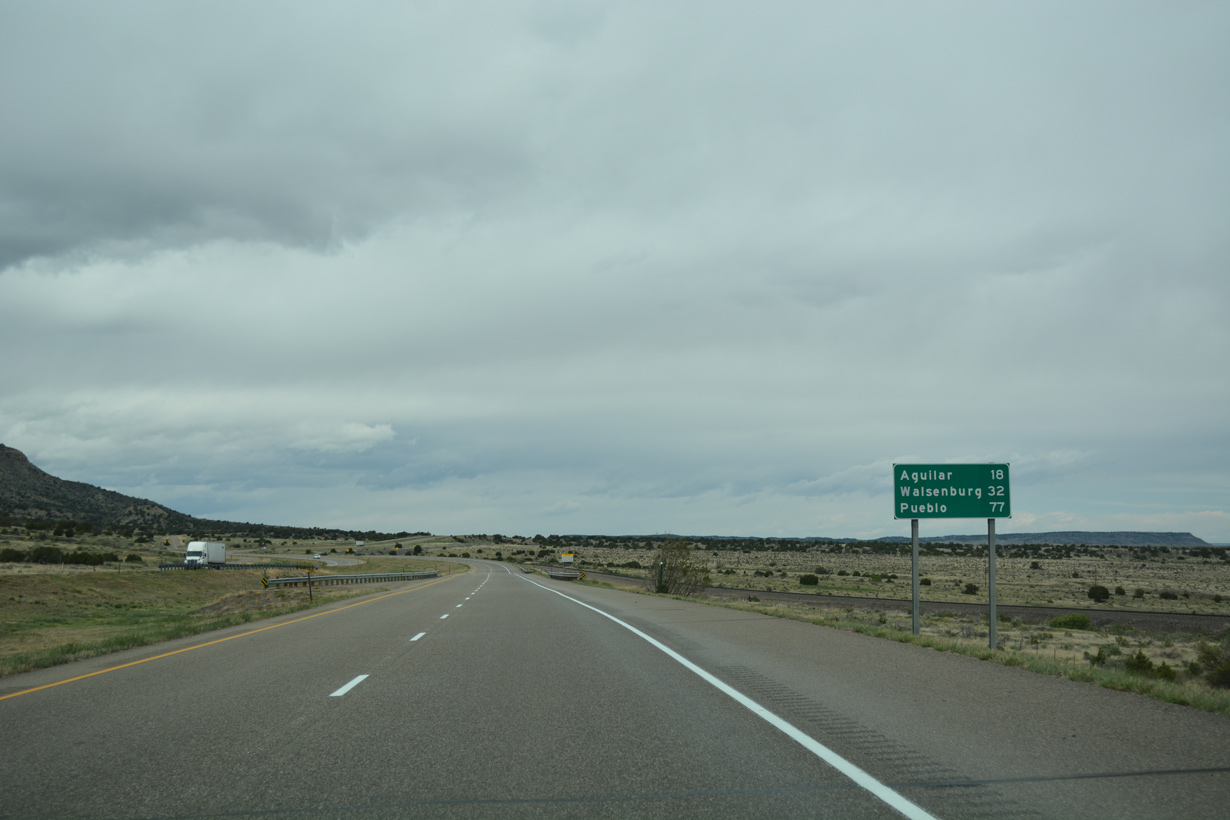
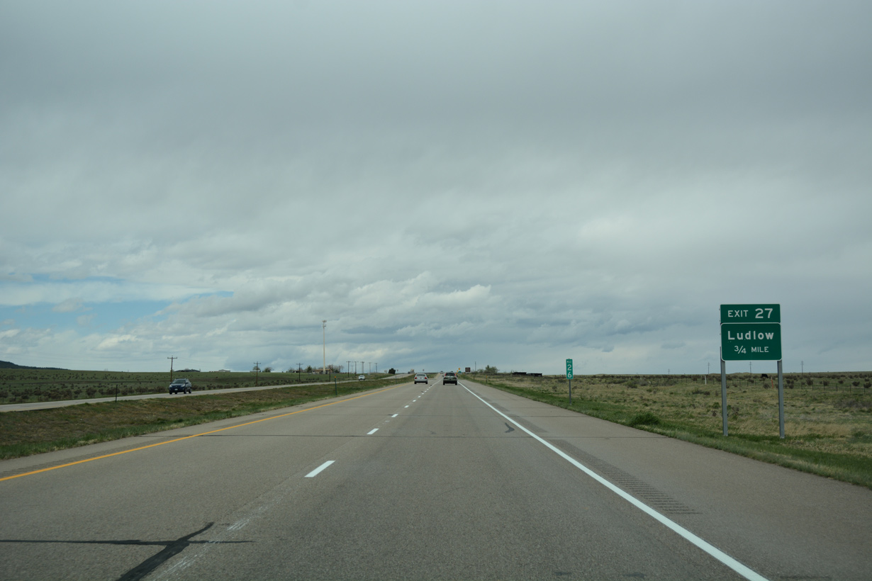
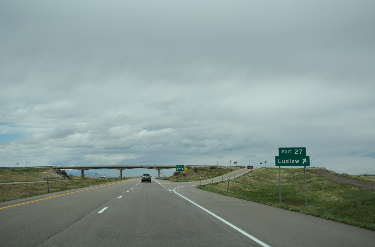
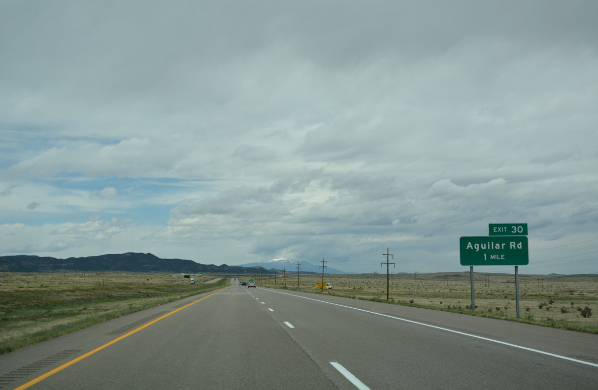
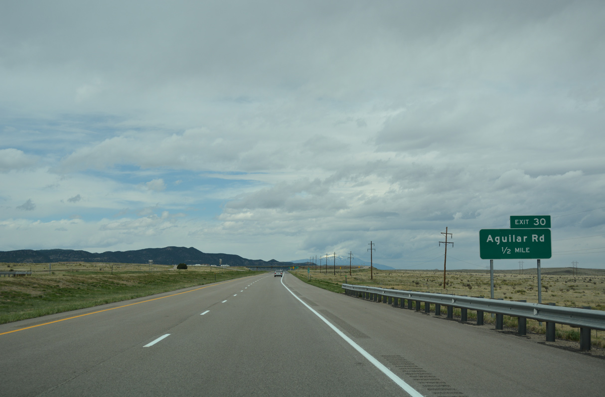
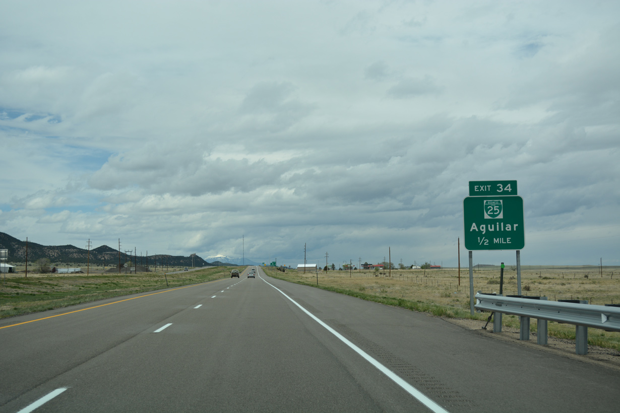
Business Spur I-25 (Lynn Road) angles southwest 1.97 miles from Exit 34 to Fir and Main Streets in the town of Aguilar.
04/28/17
04/28/17
04/28/17
04/28/17
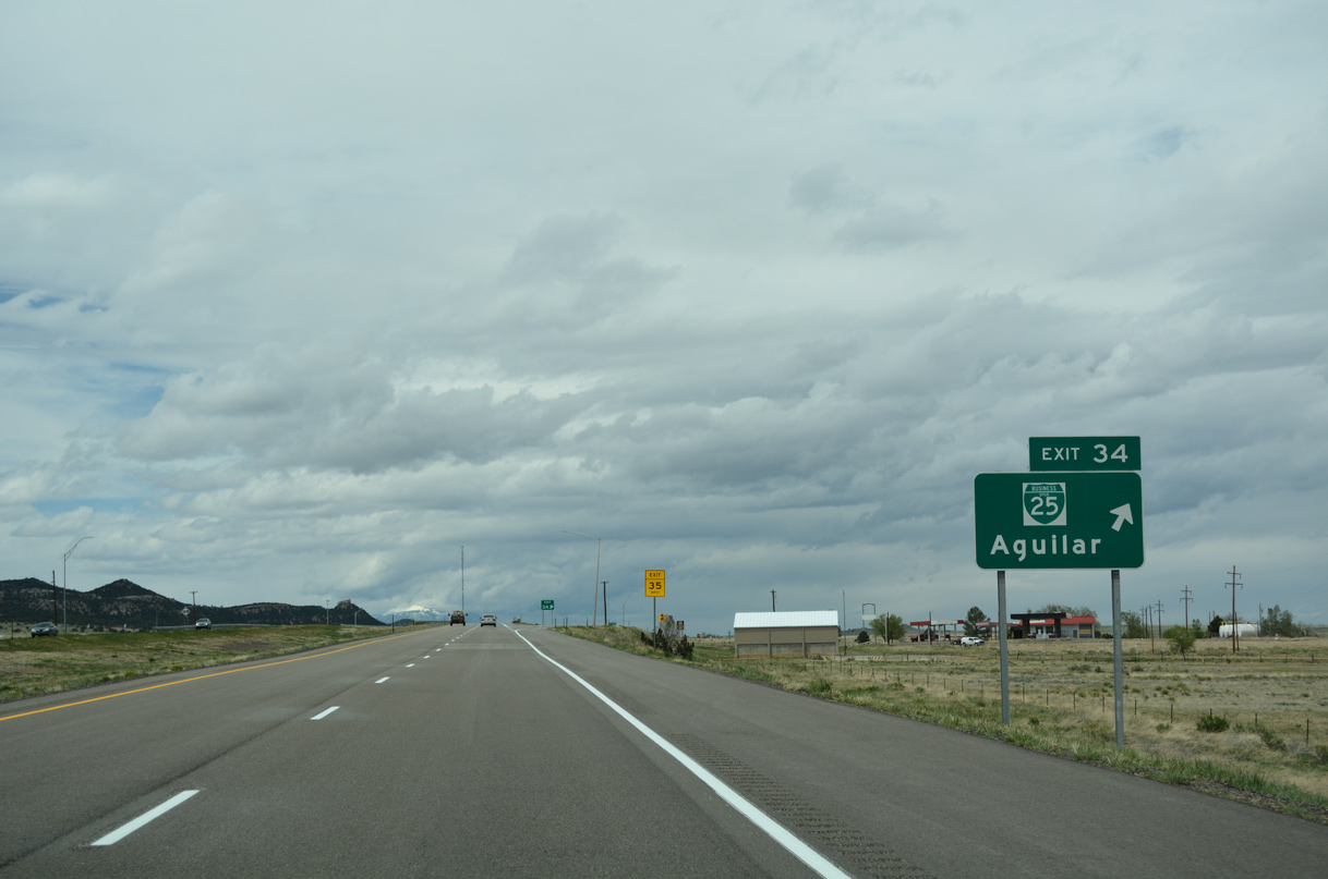
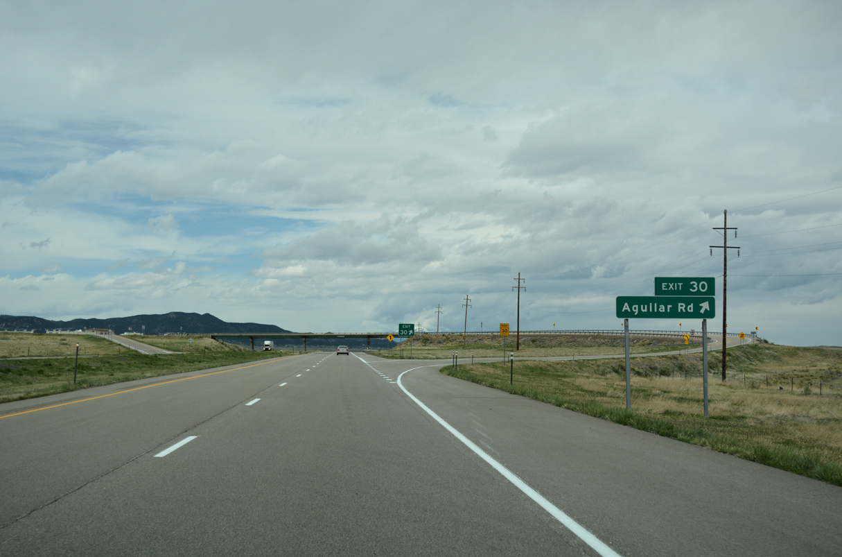
Business Spur I-25 ties into I-25/U.S. 160 at a diamond interchange (Exit 34) with County Road 60 at the unincorporated community of Lynn.
04/28/17
04/28/17
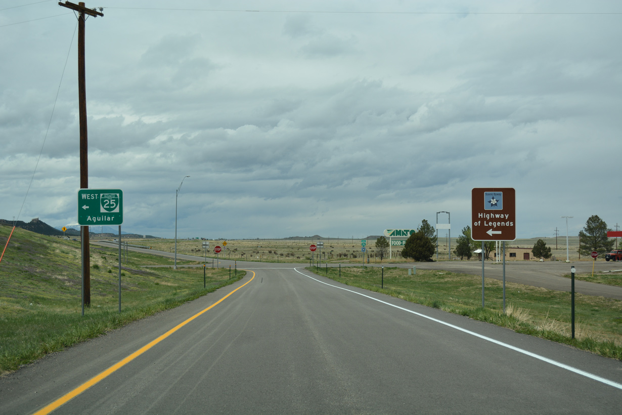
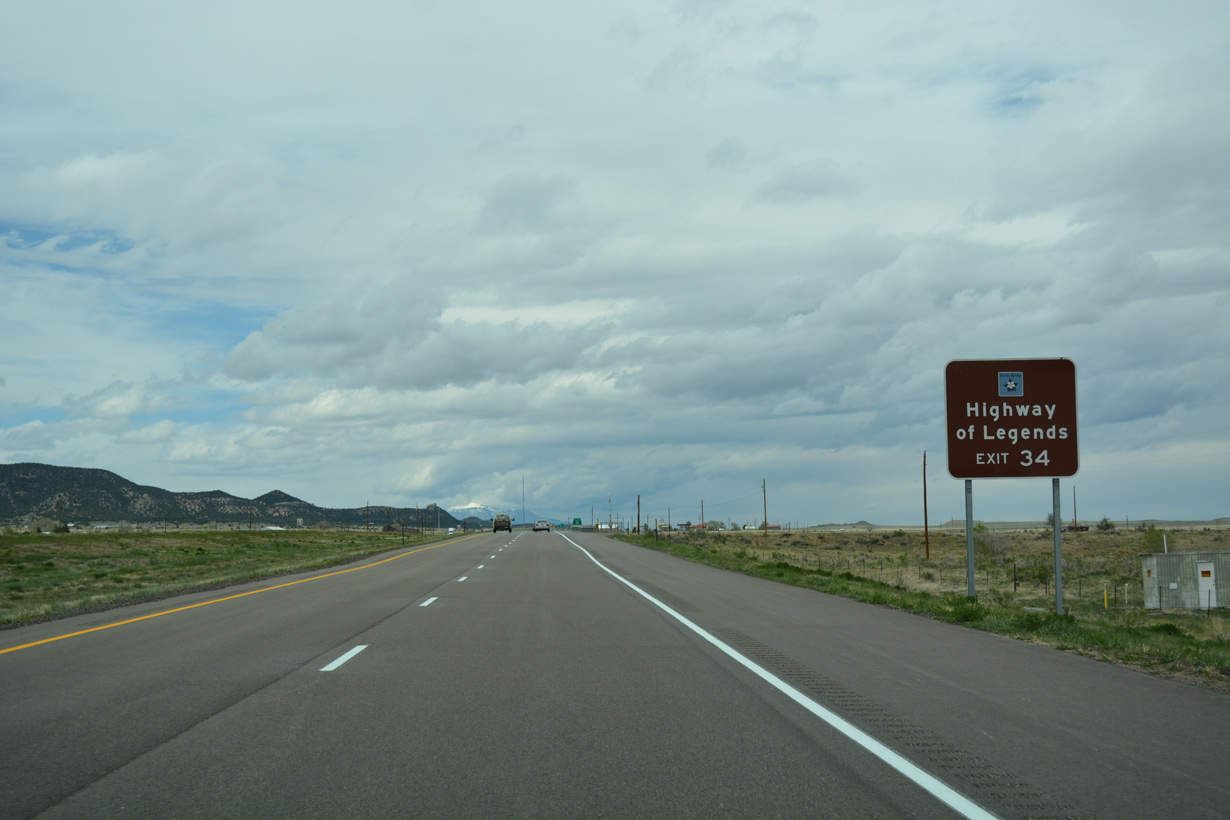
The central branch of the Highway of Legends scenic byway heads west from Aguilar along the Arisphota River to SH 12 at Cucharas Pass.
04/28/17
04/28/17
References:
- I-25 Exit 11 Interchange Improvements. Colorado Department of Transportation (CDOT), project web site. Page accessed January 5, 2022.
Photo Credits:
- ABRoads: 04/28/17
Page Updated Wednesday January 05, 2022.