
Interstate 40 East - Grants to Mesita

 East
East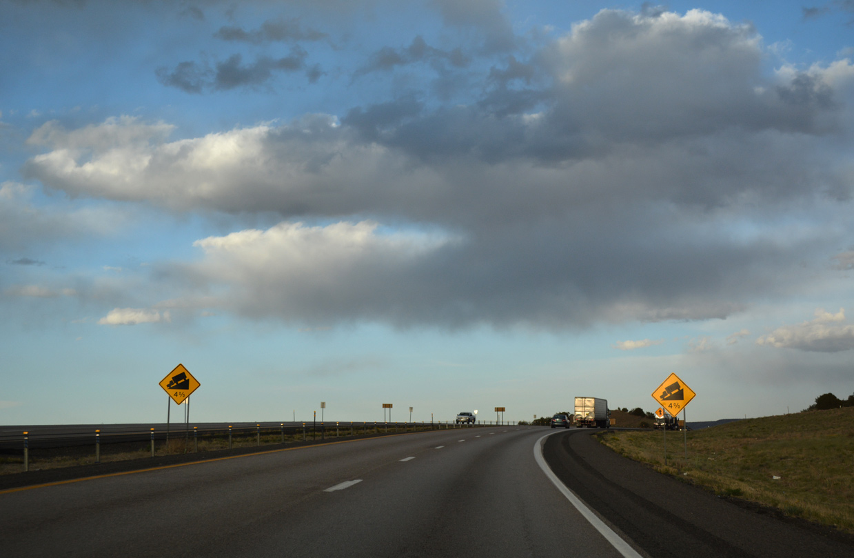
Lowering at a 4% grade, Interstate 40 drops 200 feet in elevation over the ensuing mile east from NM 124.
04/27/17
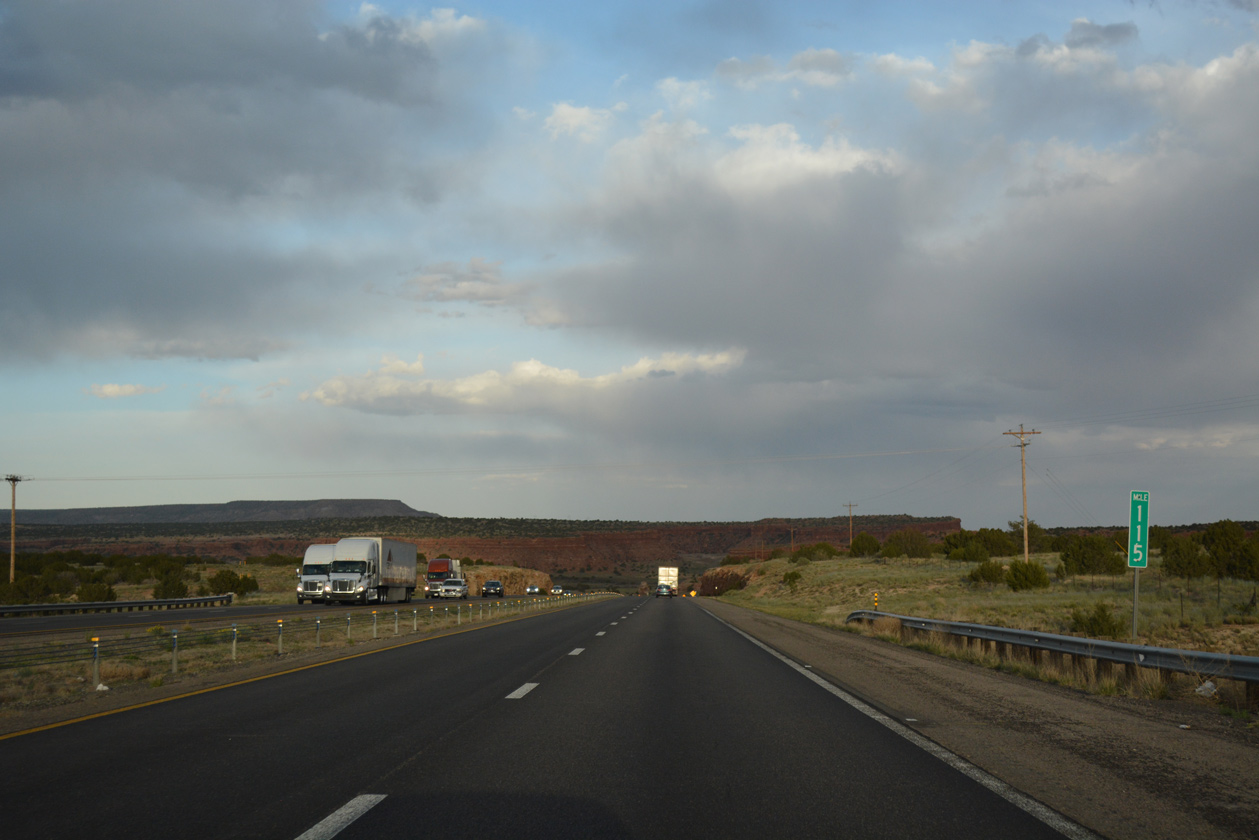
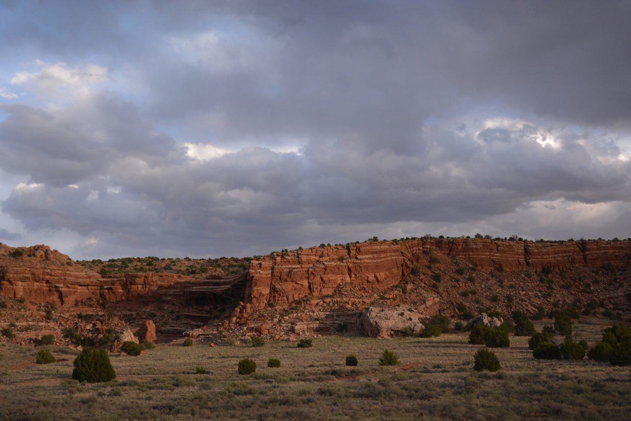
I-40 passes between Yellow Hill and Sunhouse Peaks into the Rio San Jose valley.
04/27/17
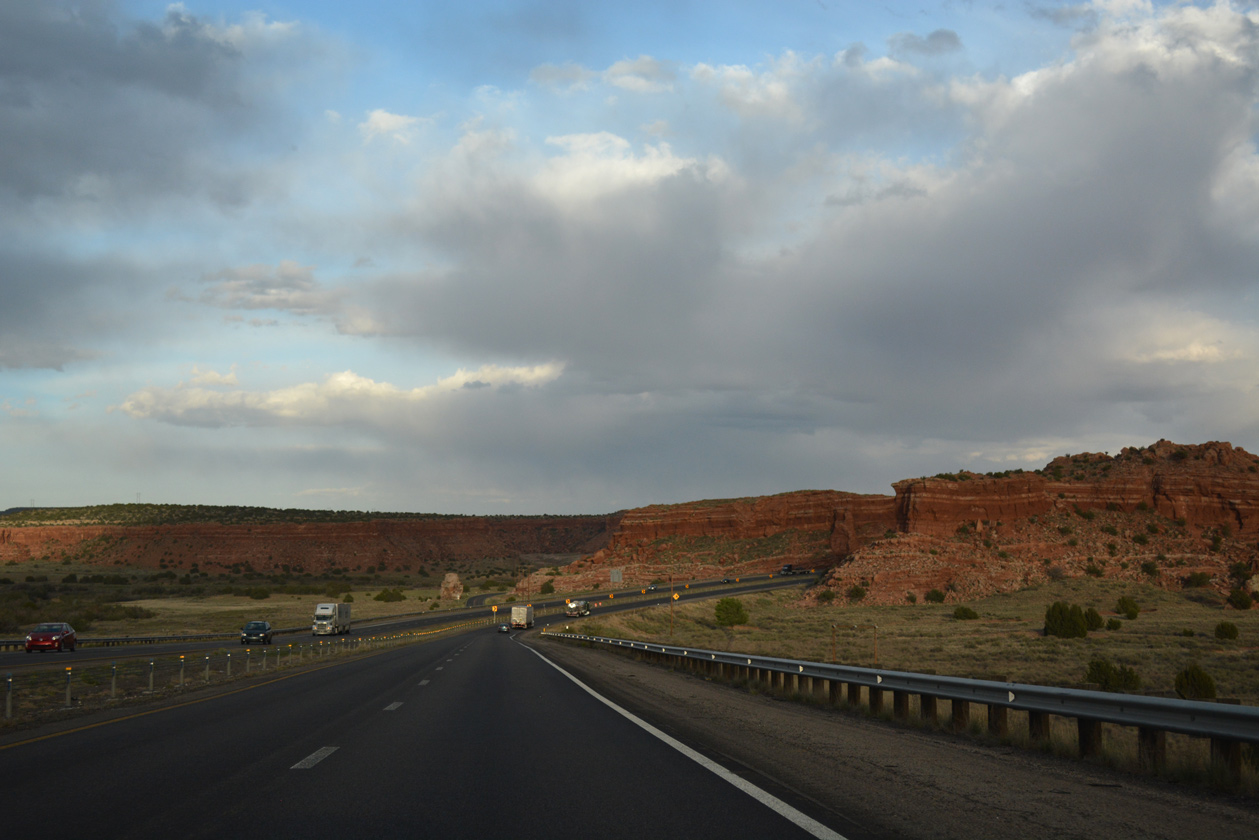
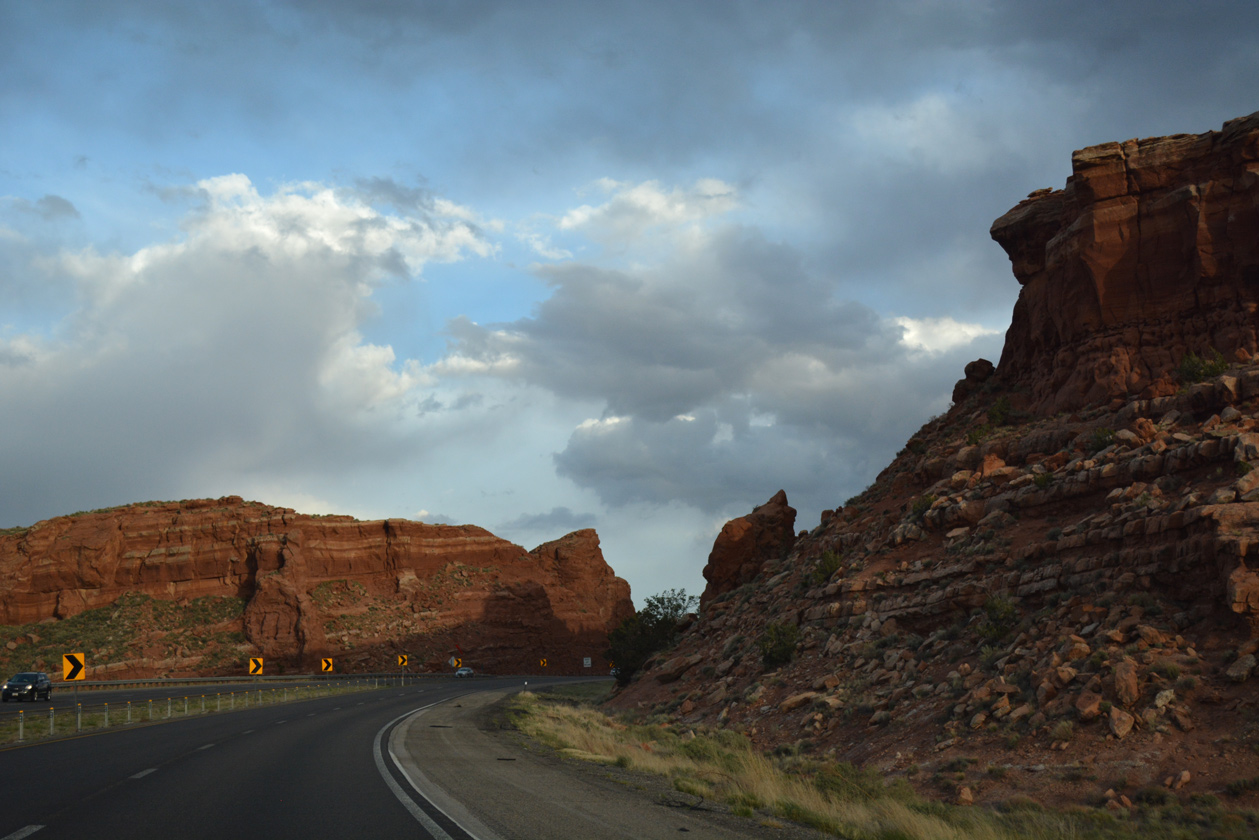
Turning southeast to Mesita, I-40 cuts across a mesa rising along the west side of the Rio San Jose.
04/27/17
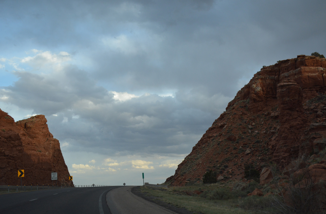
I-40 rises to around 5,740 feet above sea level at milepost 116 and the rock cut preceding Mesita.
04/27/17
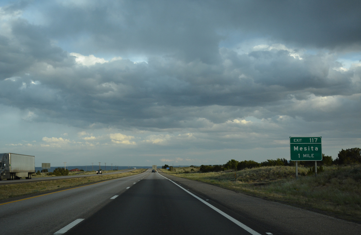
A diamond interchange (Exit 117) follows along I-40 east with Mesita Road (FR 4040) at Mesita.
04/27/17
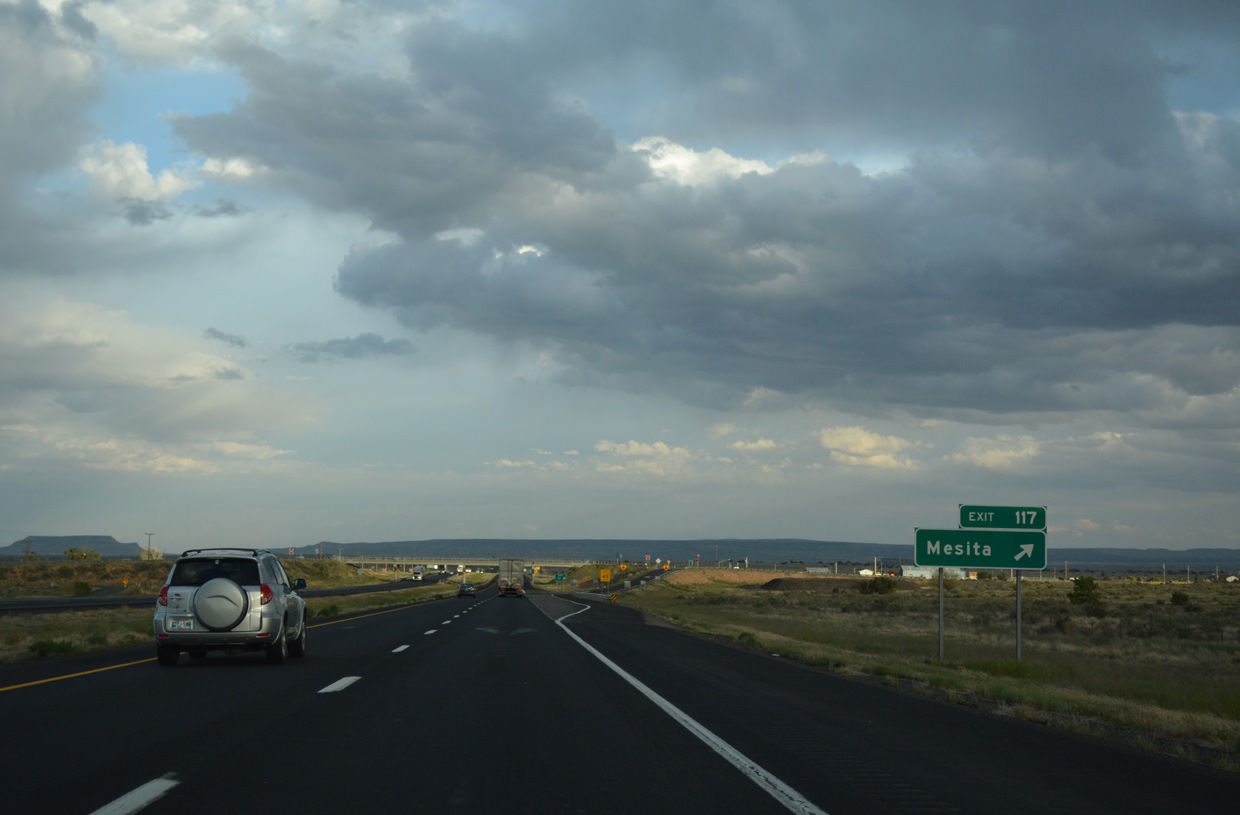
Connecting I-40 with the Laguna Pueblo community of Mesita, FR 4040 overlays 0.20 miles of Mesita Road north from Mesa Loop Road.
04/27/17
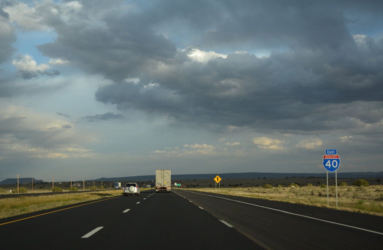
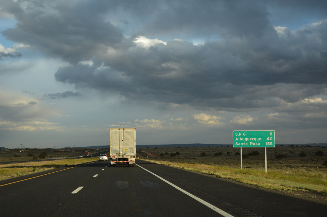
Advancing southeast from Mesita, Interstate 40 meets NM 6 in eight miles and reaches Albuquerque in 40 miles.
04/27/17
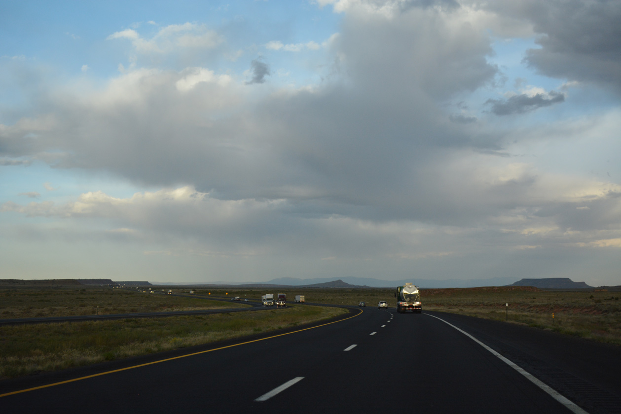
A gradual easterly turn precedes the crossing of the Rio San Jose along I-40 east.
04/27/17
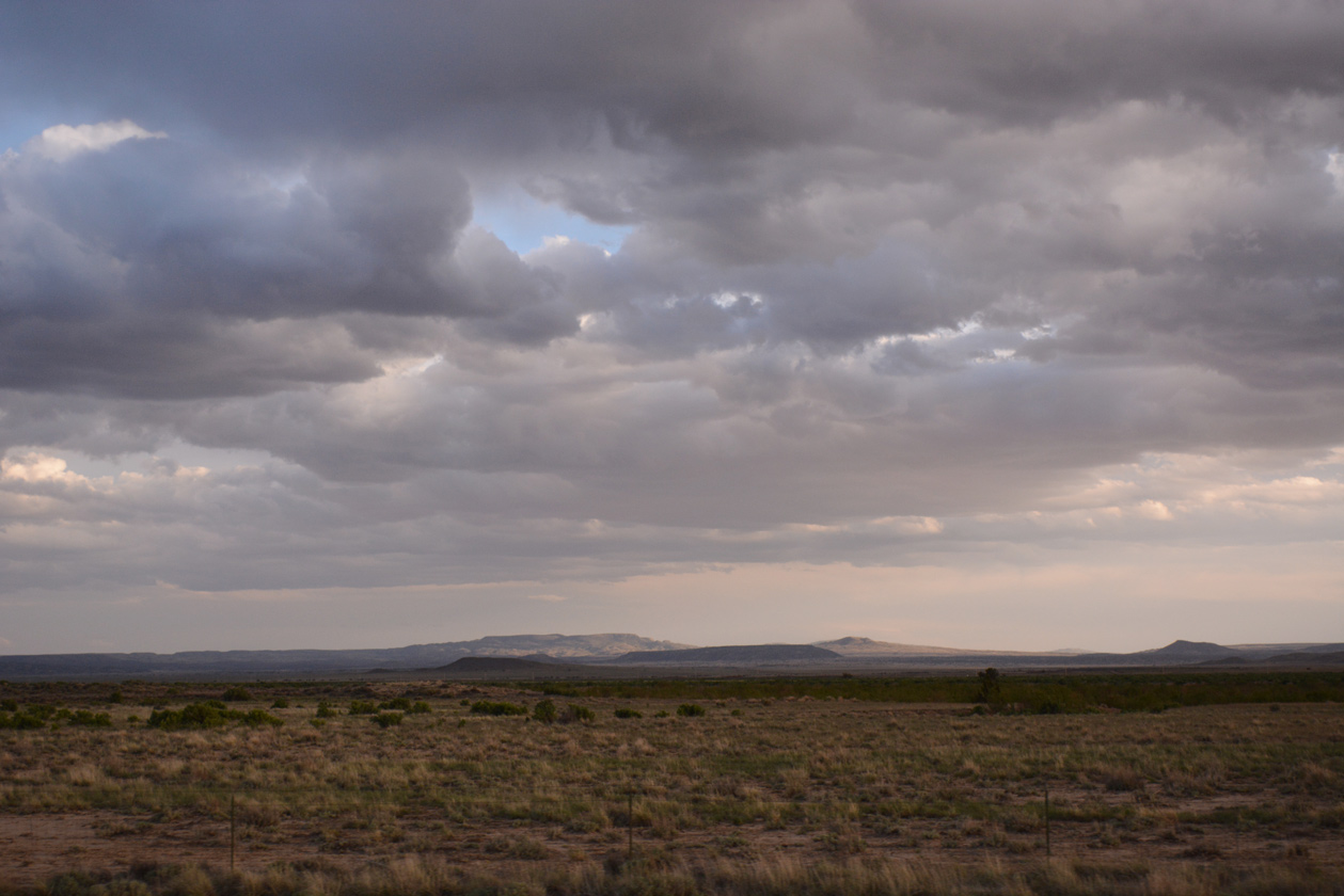
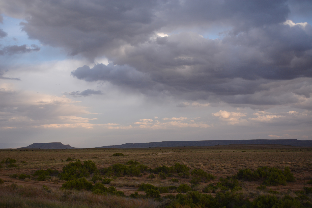
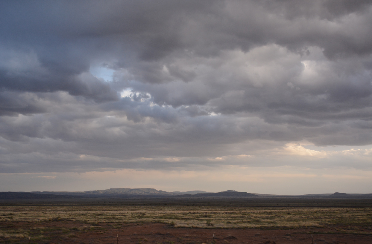
Mesas to the south of I-40 within Laguna Pueblo include Dough Mountain and Standing Twin Peak.
04/27/17
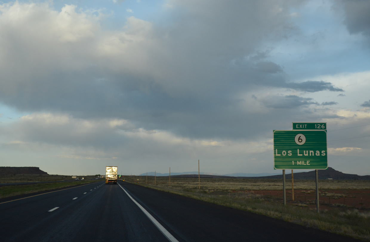
NM 6 commences a 36.51 mile long course to Los Lunas from Interstate 40 at upcoming Exit 126.
04/27/17
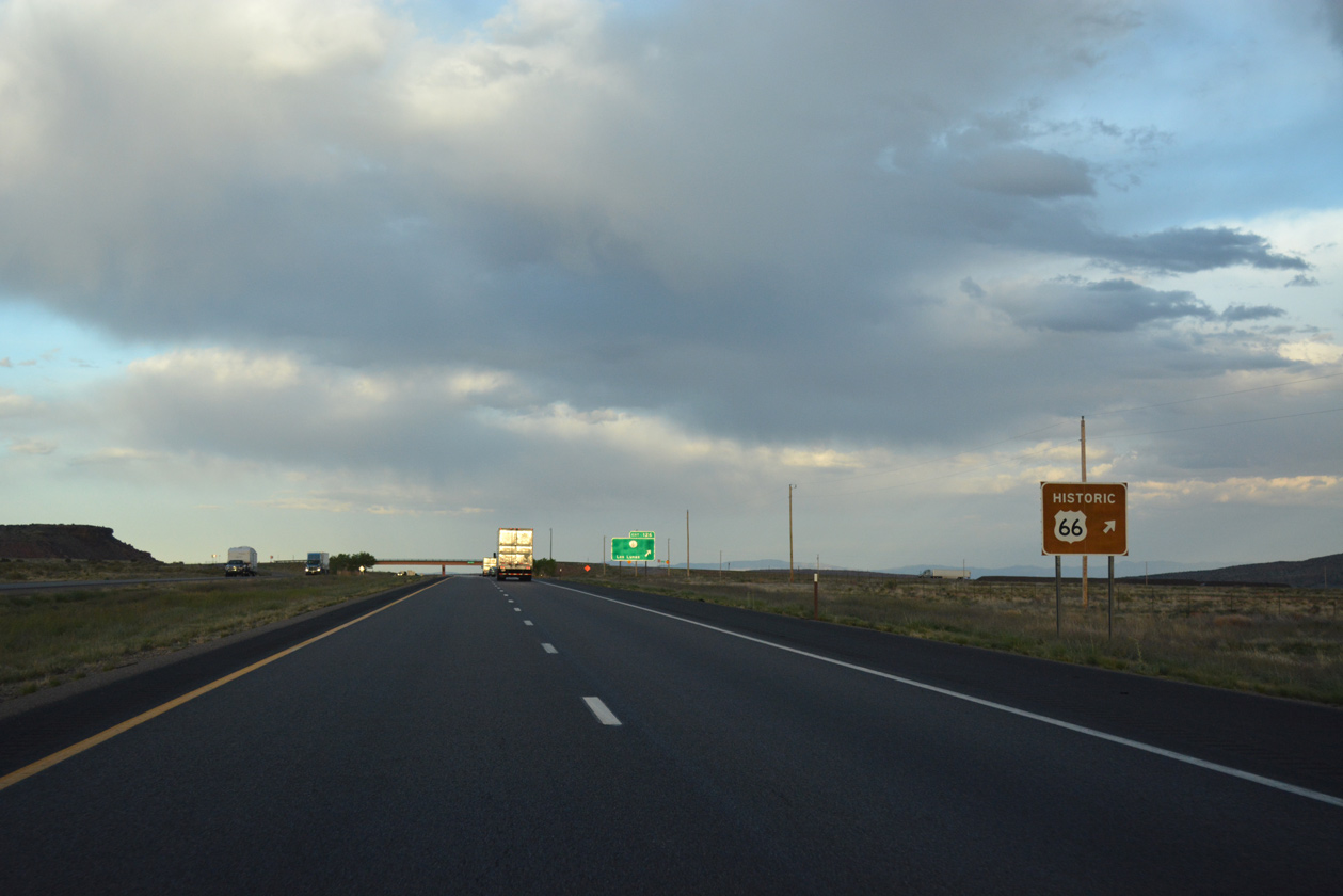
NM 6 follows the pre-1937 route of U.S. 66 east to NM 47 at Valencia.
04/27/17
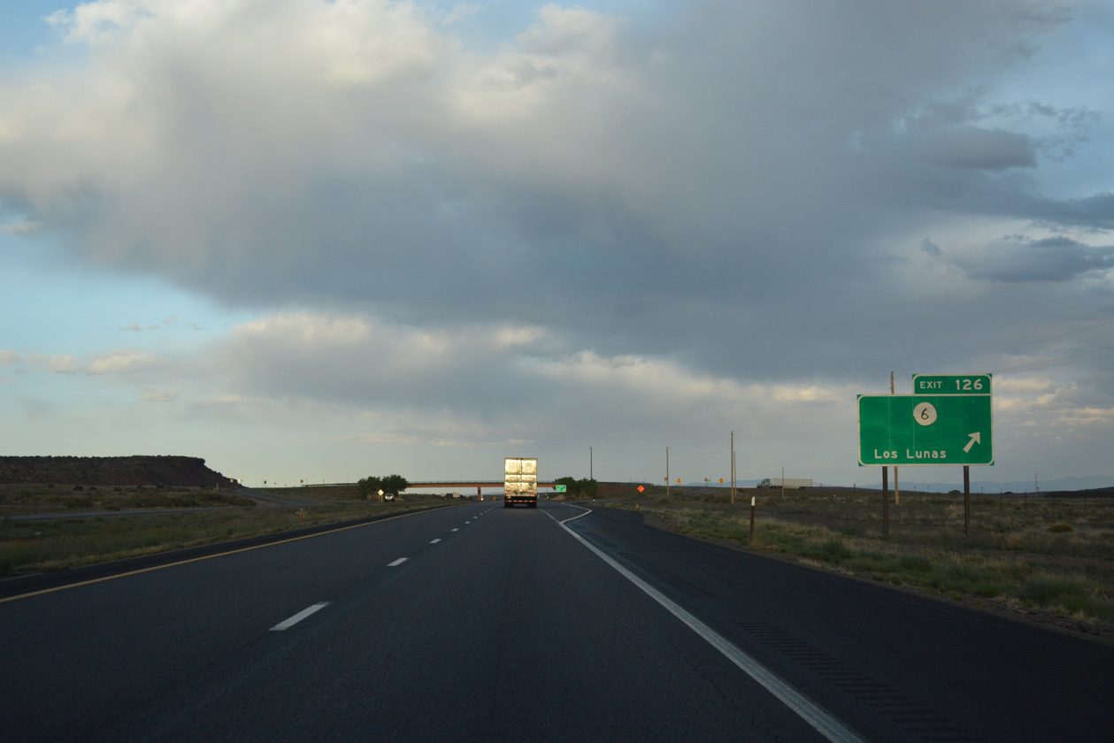
Entering the diamond interchange (Exit 126) with NM 6 east to Highland Meadows and I-25 at Los Lunas on Interstate 40 east.
04/27/17
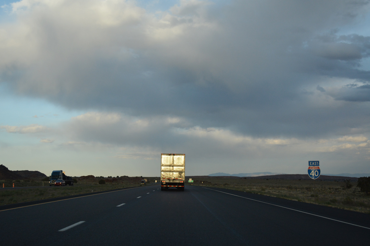
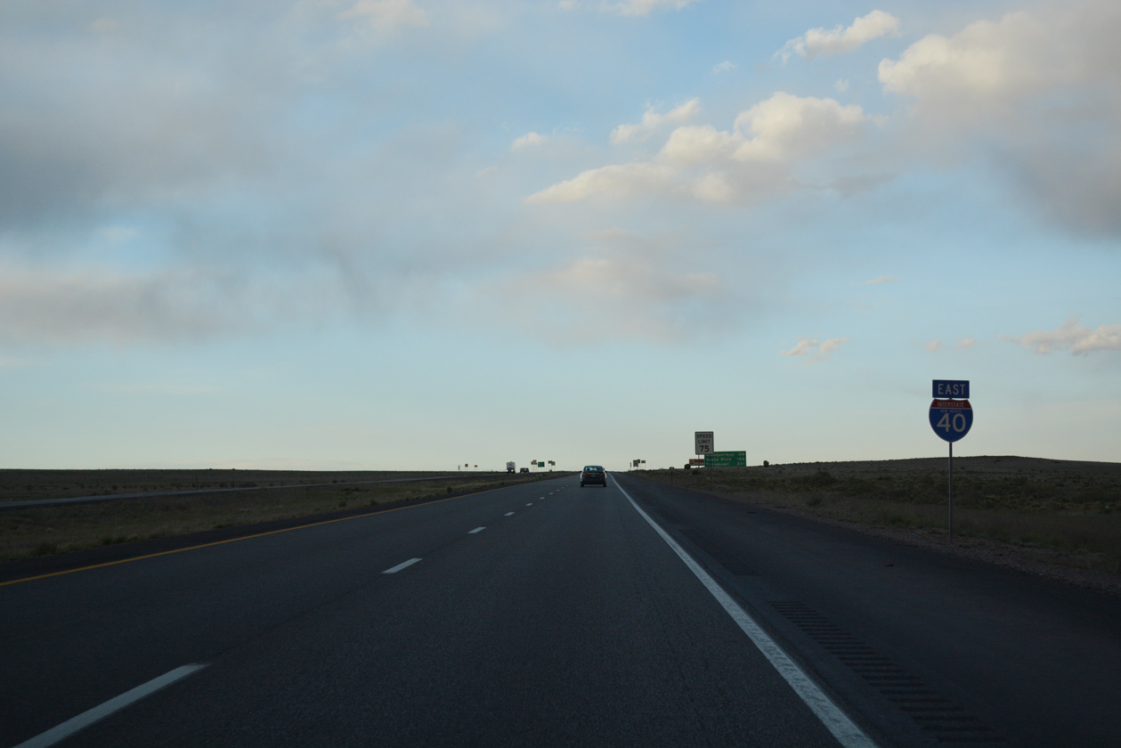
Eastbound I-40 reassurance marker posted after the entrance ramp from NM 6.
04/27/17
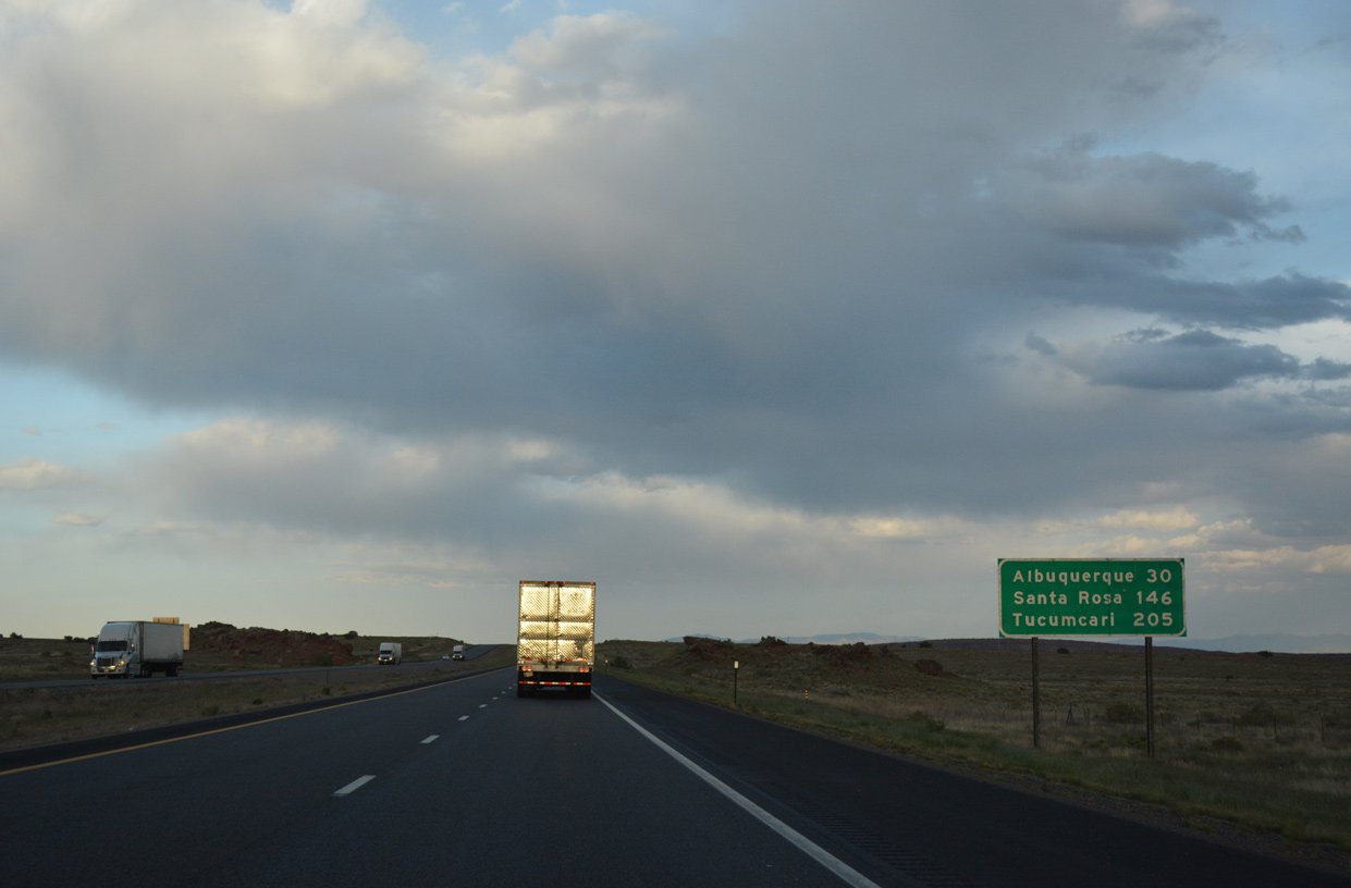
Standing 30 miles outside of Downtown Albuquerque, this distance sign also lists the distances to the New Mexico control points of Santa Rosa (146 miles) and Tucumcari (205 miles).
04/27/17
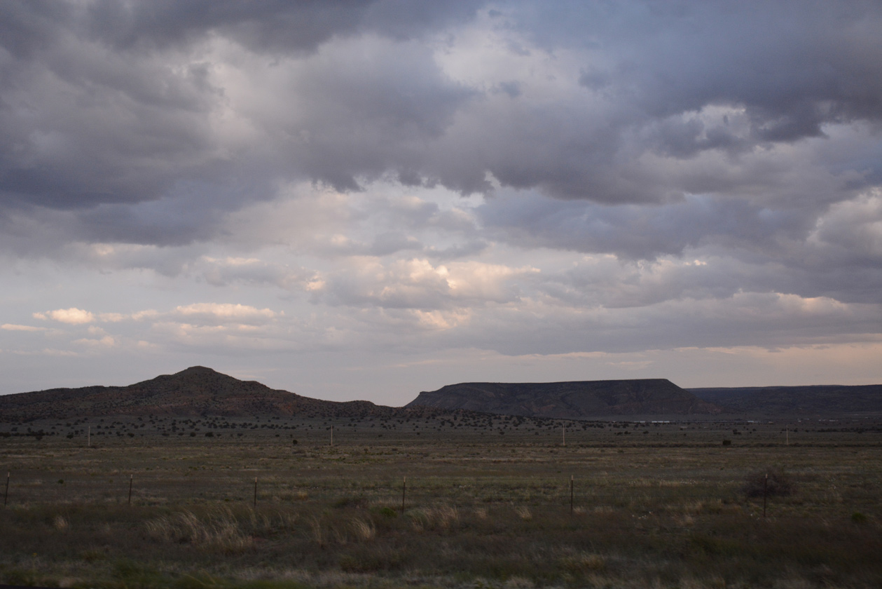
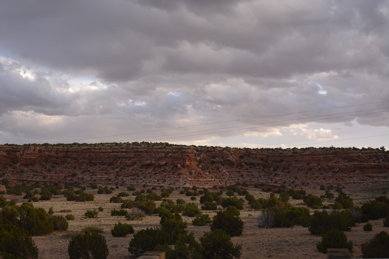
Mesa Redonda rises to a height of over 6,150 feet above sea level to the distance south of I-40 beyond NM 6.
04/27/17
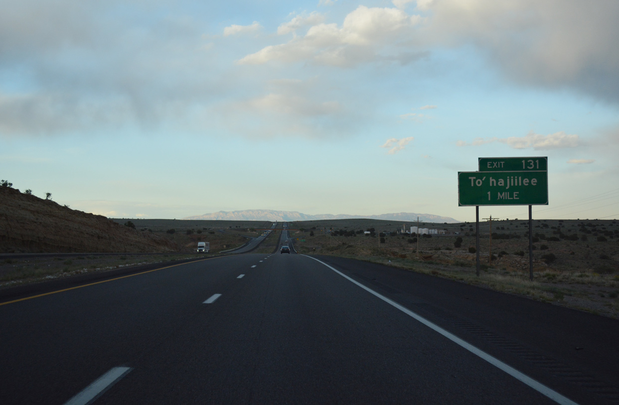
Canoncito School Road stems north from Interstate 40 at Exit 131 to To'hajiilee.
04/27/17
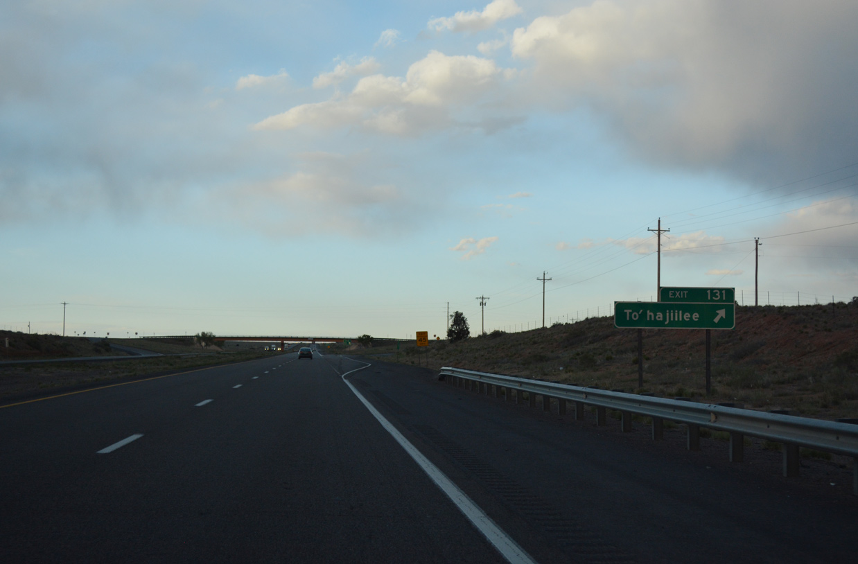
Interstate 40 east at the diamond interchange (Exit 131) with Canoncito School Road. To'hajiilee lies northward within the Navajo Nation.
04/27/17
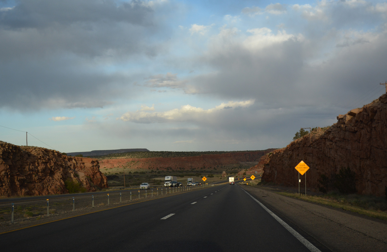
Continuing east through Laguna Pueblo, Interstate 40 travels 26 miles from Exit 131 to Downtown Albuquerque.
04/27/17
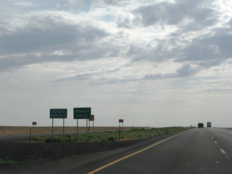
Crossing into Bernalillo County, Interstate 40 also enters New Mexico Department of Transportation (NMDOT) District 3.
06/29/08

Photo Credits:
- ABRoads: 04/27/17
- Andy Field: 06/29/08
Page Updated Monday April 08, 2019.