
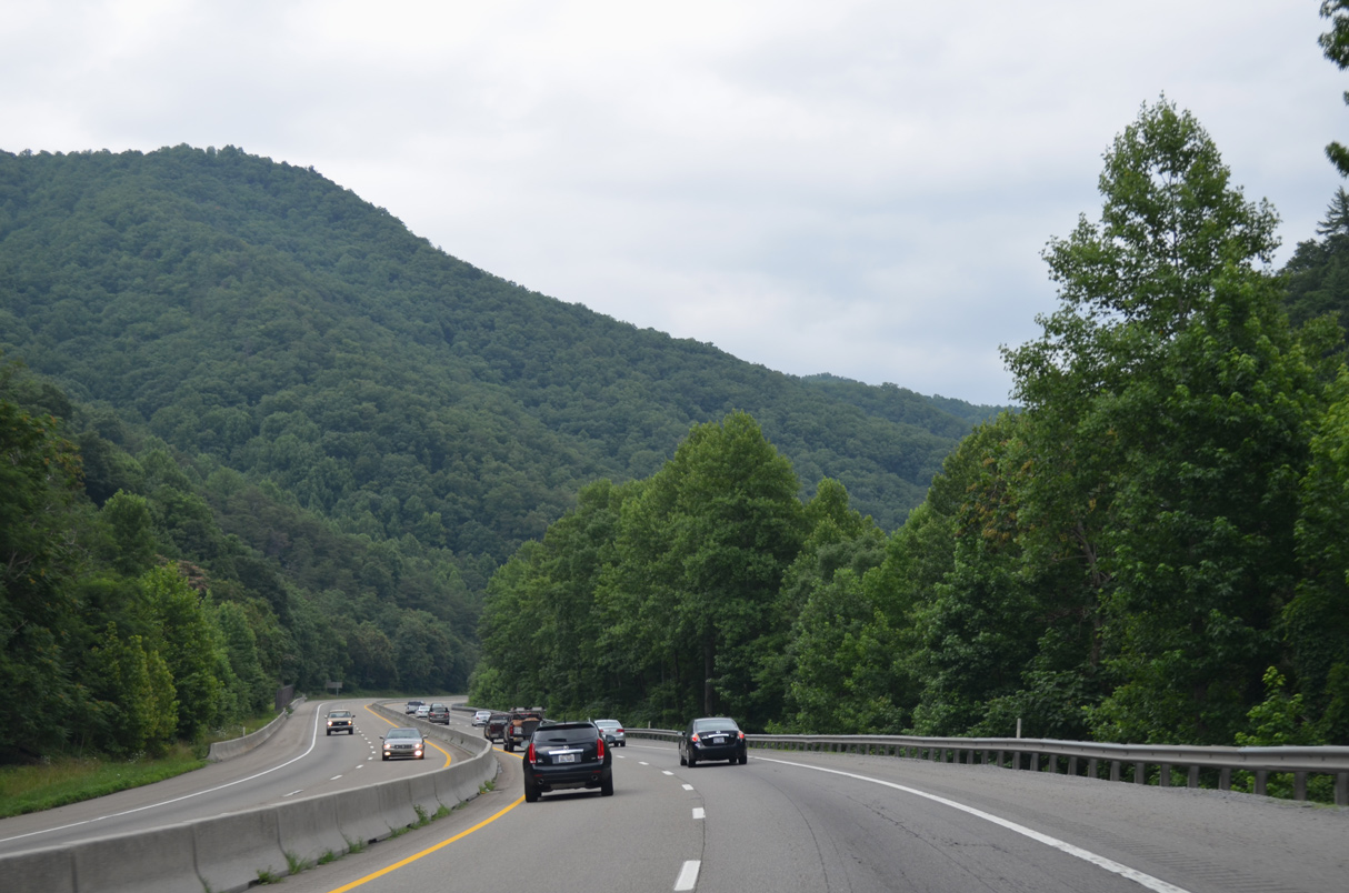
Interstate 40 East - Dandridge to North Carolina
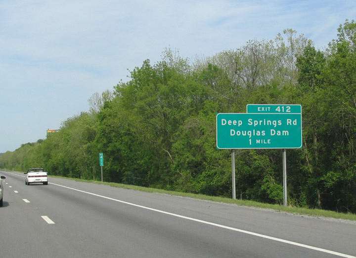
Deep Springs Road crosses paths with Interstate 40 at a diamond interchange (Exit 412) north of SR 139 on Douglas Lake.
05/01/05
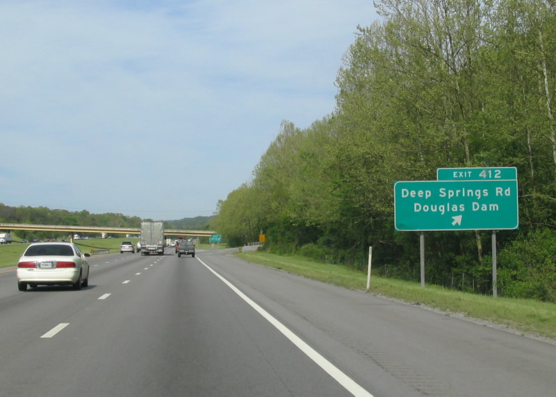
Deep Springs Road heads south from Exit 412 to SR 139 west for Douglas Dam. Northward, the local road connects with U.S. 25W/70 to the southeast of Strawberry Plains.
05/01/05
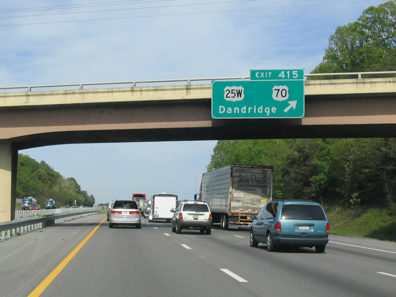
U.S. 25W/70 return to I-40 for a second time outside of Dandridge. The parclo interchange at Exit 415 lies east of the Green Hill Road overpass at the settlement of Greenhill. U.S. 25W/70 continue paralleling I-40 eastward from the Jefferson County seat to Clevenger and Newport.
05/01/05
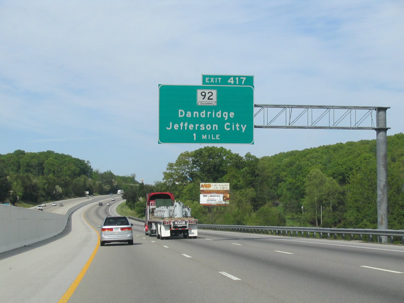
SR 92 connects Interstate 40 with the town of Dandridge and U.S. 25W/70 from the diamond interchange at Exit 417.
05/01/05
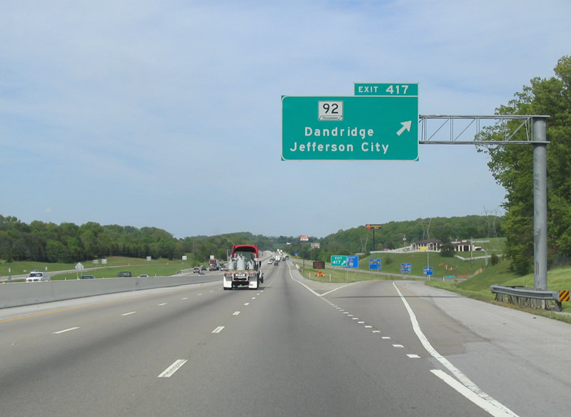
SR 92 continues northward from Exit 417, 6.95 miles to Jefferson City and U.S. 11E, and overall 23.0 miles to U.S. 11W at Rutledge.
05/01/05
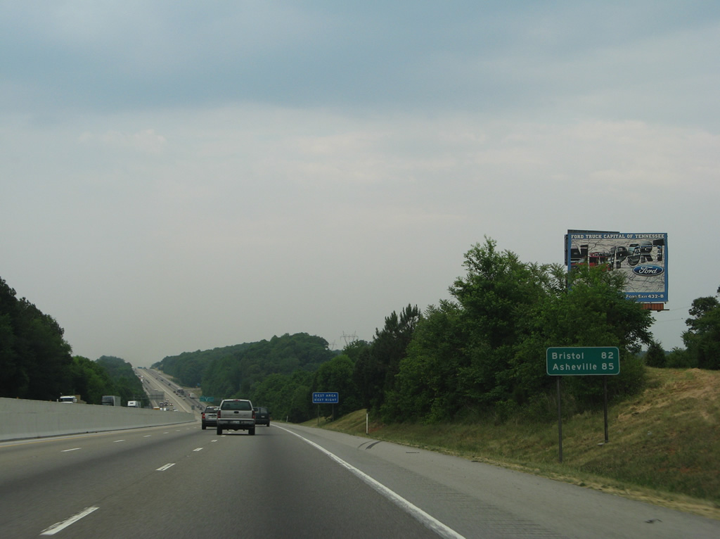
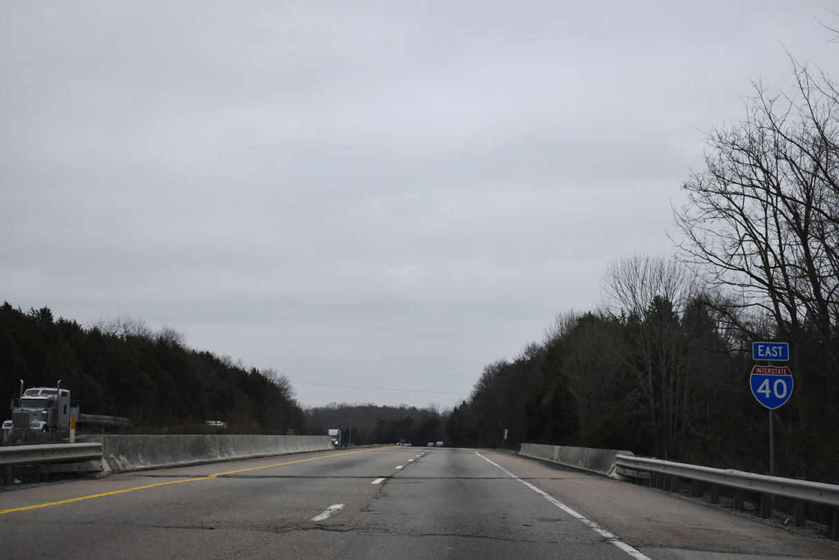
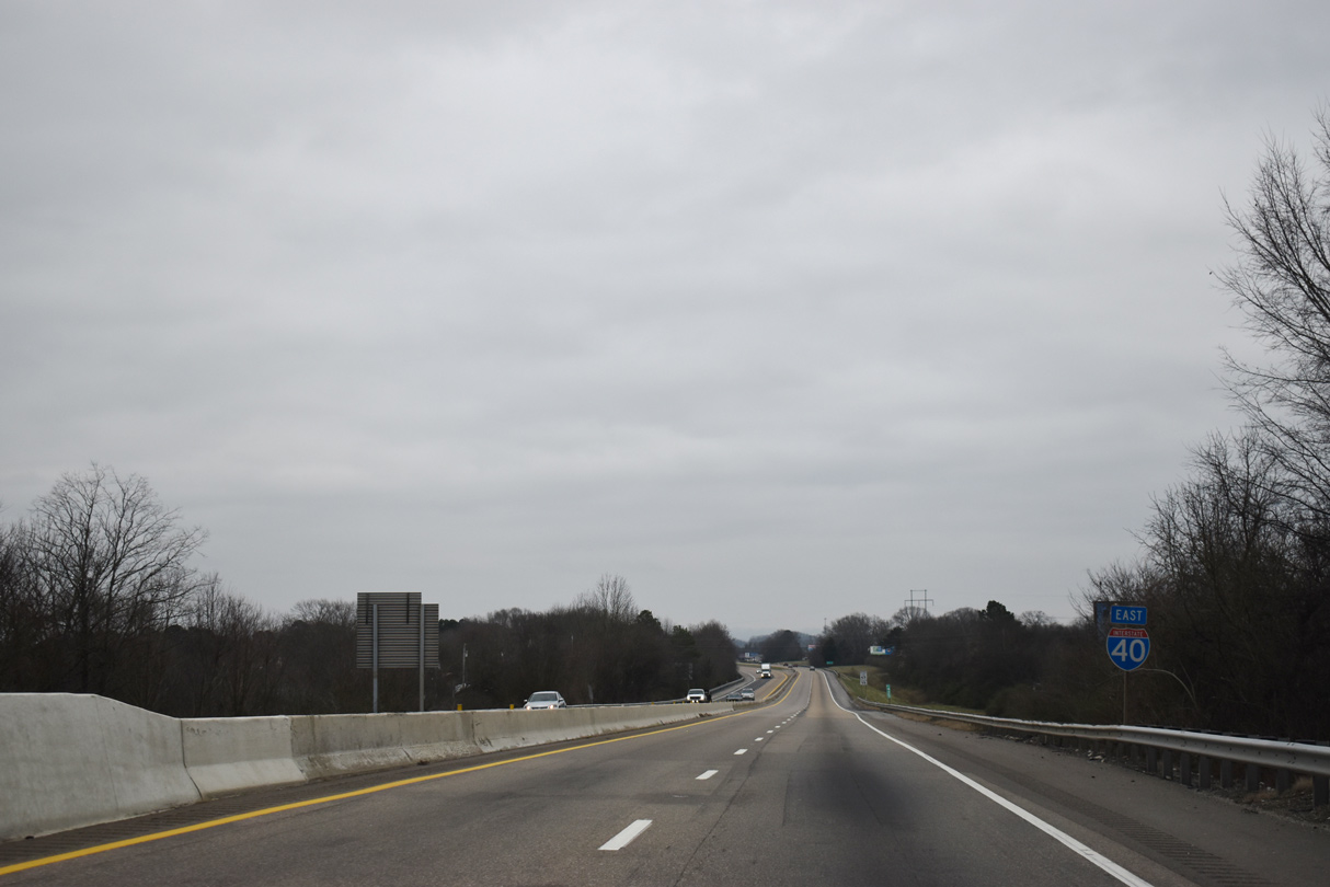
Bristol lies 82 miles northeast from the exchange with SR 92 along Interstate 81. I-40 east reaches Asheville, North Carolina in 85 miles.
05/31/07
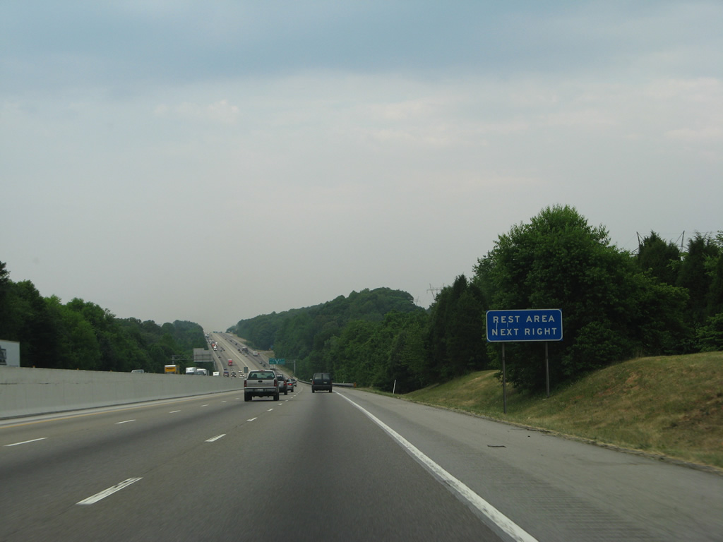
A rest area for Interstate 40 east follows the crossing of Rimmer Creek. The westbound facility is east of Exit 424.
05/31/07
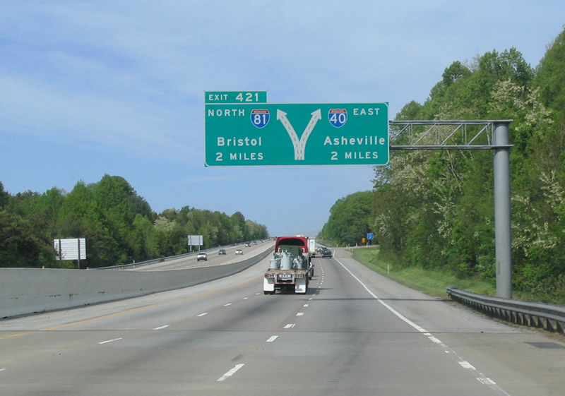
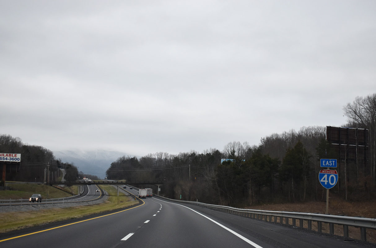
Interstate 40 advances to the northbound beginning of I-81 at Exit 421 in rural Jefferson County. I-81 joins Knoxville with the Tri-Cities region and Roanoke, Virginia.
05/01/05
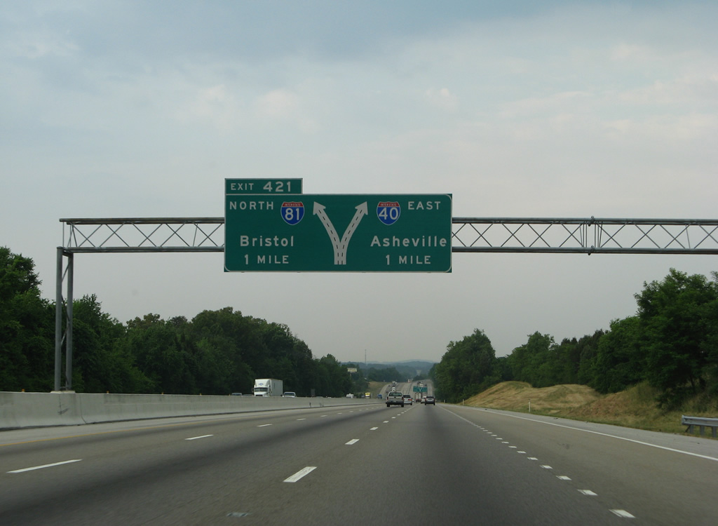
The six lane section of I-40 concludes at Exit 421. Interstate 81 heads 75.66 miles northeast to Bristol, Virginia while I-40 turns southeast toward the Great Smoky Mountains.
05/31/07
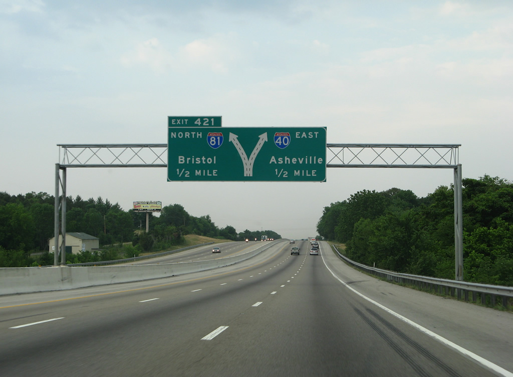
Interstate 40 branches southeast toward Douglas Lake. Interstate 81 leads northeast toward Morristown and 57 miles to I-26 for Kingsport and Johnson City.
05/31/07
Interstate 81 commences north from I-40 at a directional T interchange (Left Exit 421).
05/31/07
Interstate 40 angles southeast across Zirkle Road by this confirming marker.
01/16/19
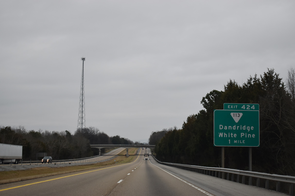
A parclo interchange (Exit 424) links I-40 east with SR 113 one mile beyond the Spring Creek Road overpass.
01/16/19
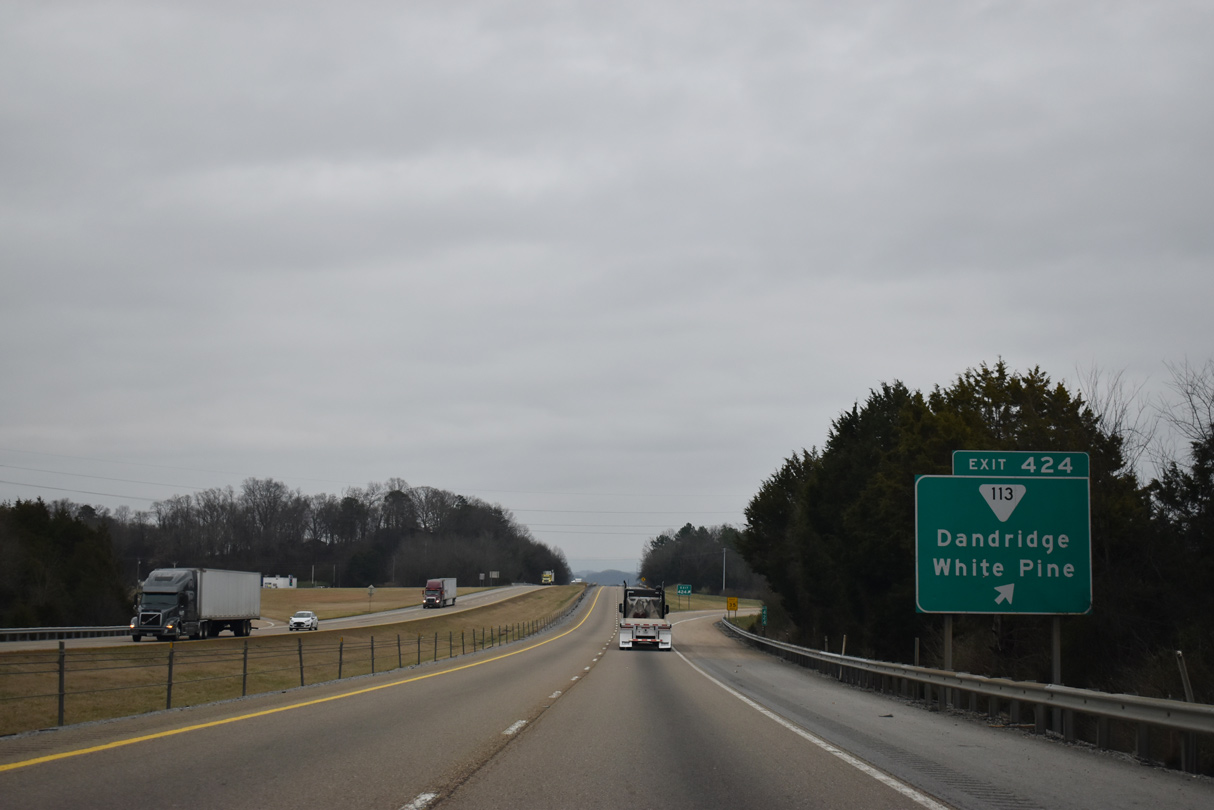
Exit 424 departs I-40 east for SR 113 near Oak Grove. SR 113 south ends nearby at U.S. 25W/70, providing a westerly route back to Dandridge. SR 113 runs 6.30 miles northeast to U.S. 25E at White Pine.
01/16/19
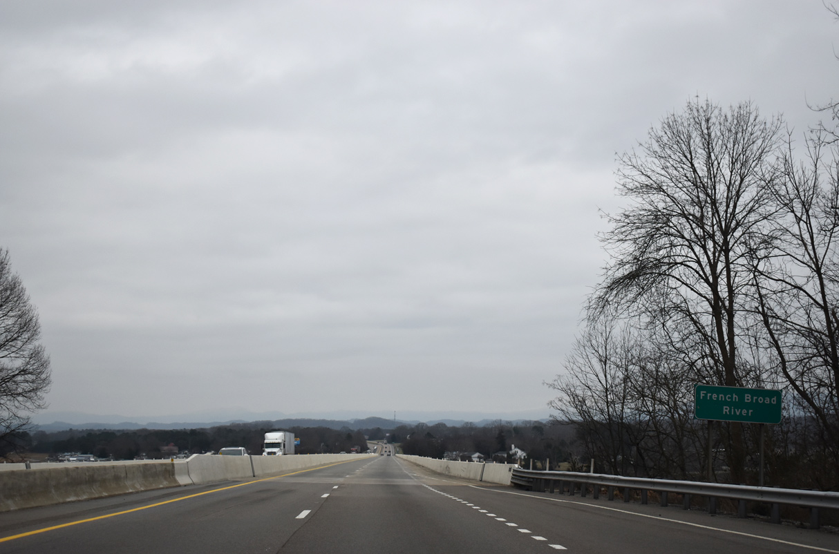
Interstate 40 spans the French Broad River at Douglas Lake. The four lane crossing was completed in 1960 and reconstructed in 1983.
01/16/19
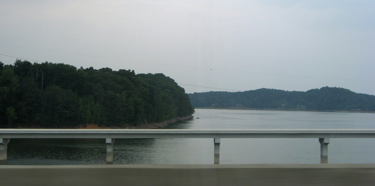
U.S. 25W/70 parallel Interstate 40 across the French Broad River to the south.
05/31/07
Interstate 40 continues from Douglas Lake alongside Seahorn Creek into the Flat Woods.
01/16/19
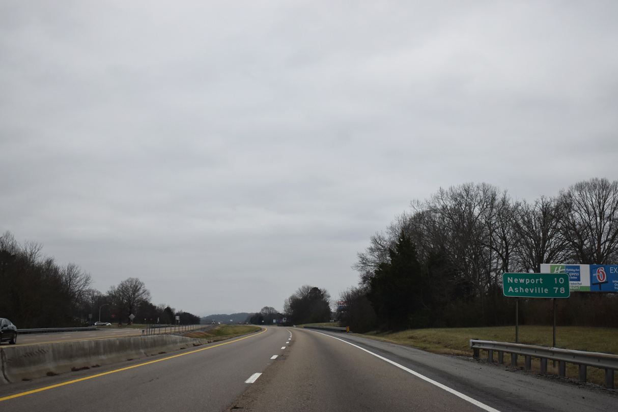
The Cocke County seat of Newport lies ten miles ahead. Asheville is 78 miles out.
01/16/19

English Mountain rises along the southeastern horizon.
01/16/19
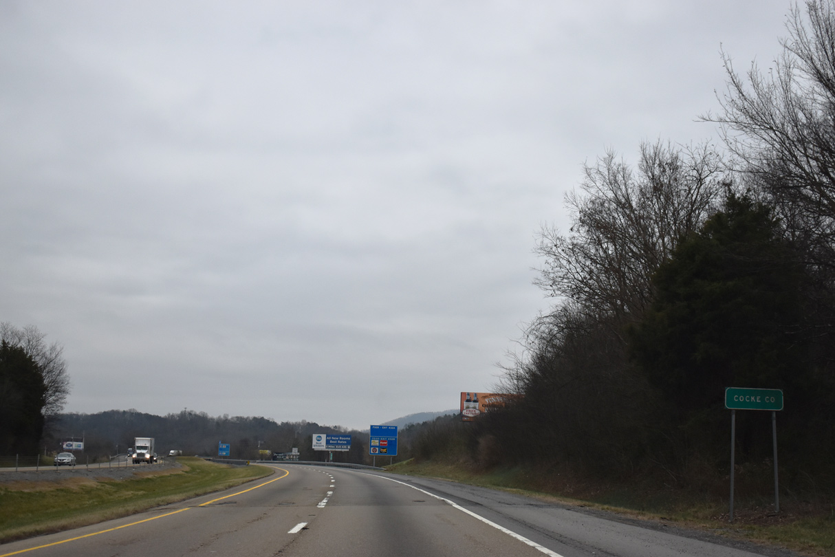
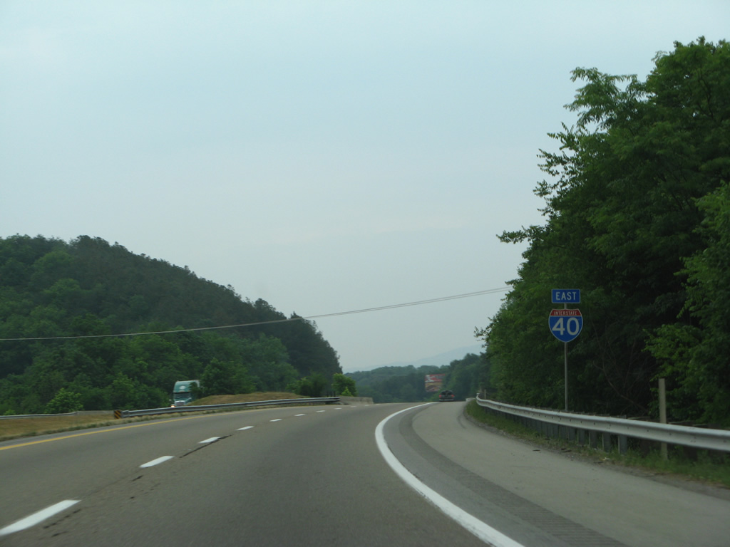
Cocke County is the last county along the 455 mile long course of I-40 eastbound in Tennessee.
01/16/19
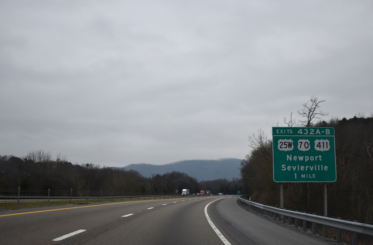
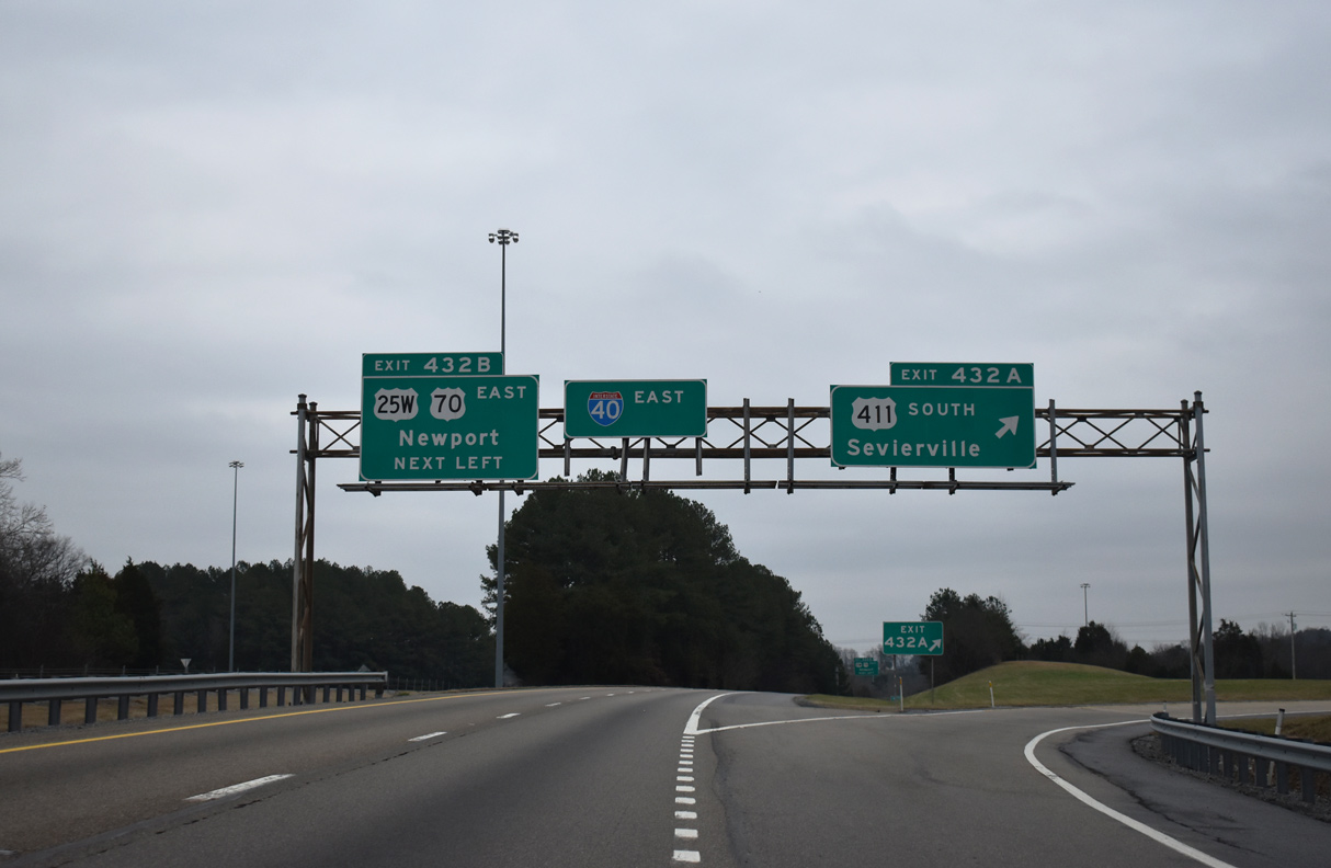
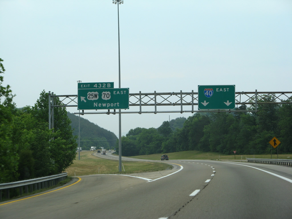
Remaining along the west side of Interstate 40 through Reidtown, U.S. 25W/70 converge with the freeway at a directional cloverleaf interchange (Exits 432A/B).
01/16/19
Exit 432A joins I-40 east with U.S. 25W north, U.S. 70 west and the southbound beginning of U.S. 411.
01/16/19
U.S. 411 constitutes a 310 mile long highway from Interstate 40 to Leeds, Alabama. U.S. 411 heads southwest to Maryville and then south to Chatsworth and Cartersville in Georgia. Continuing west, U.S. 441 connects Rome with Centre and Gadsden in Alabama.
01/16/19
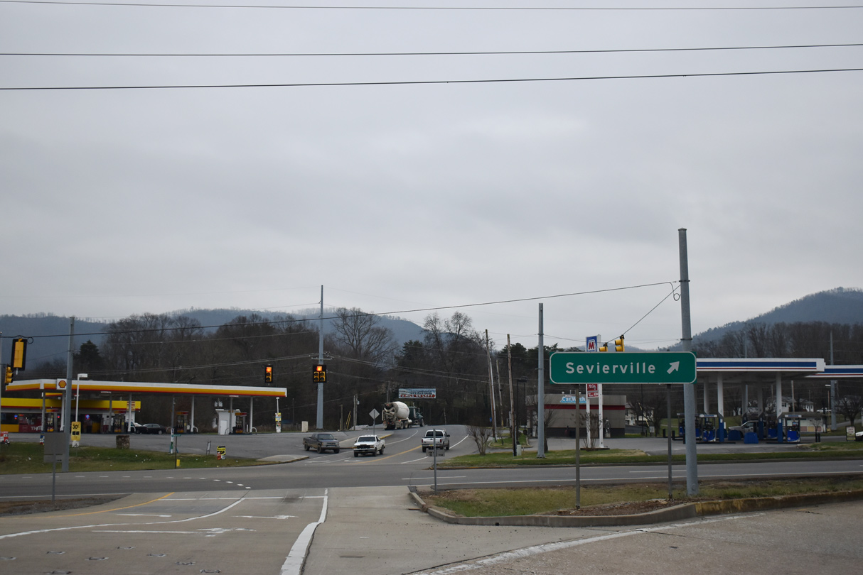
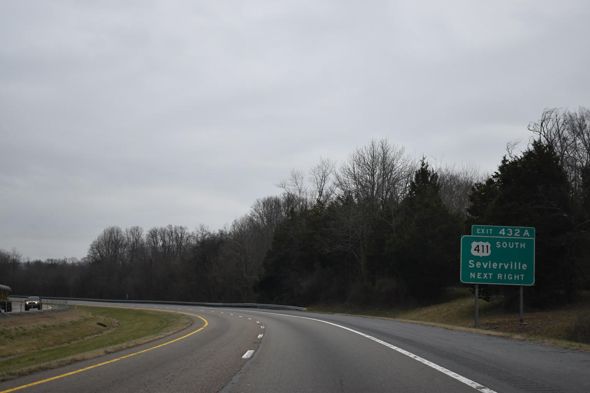
U.S. 411 separates from U.S. 25W/70 beyond Clevenger in 0.6 miles. Completed by 2016, a four lane alignment for U.S. 411 angles southwest 3.2 miles en route to Chestnut Hill and Sevierville.
01/16/19
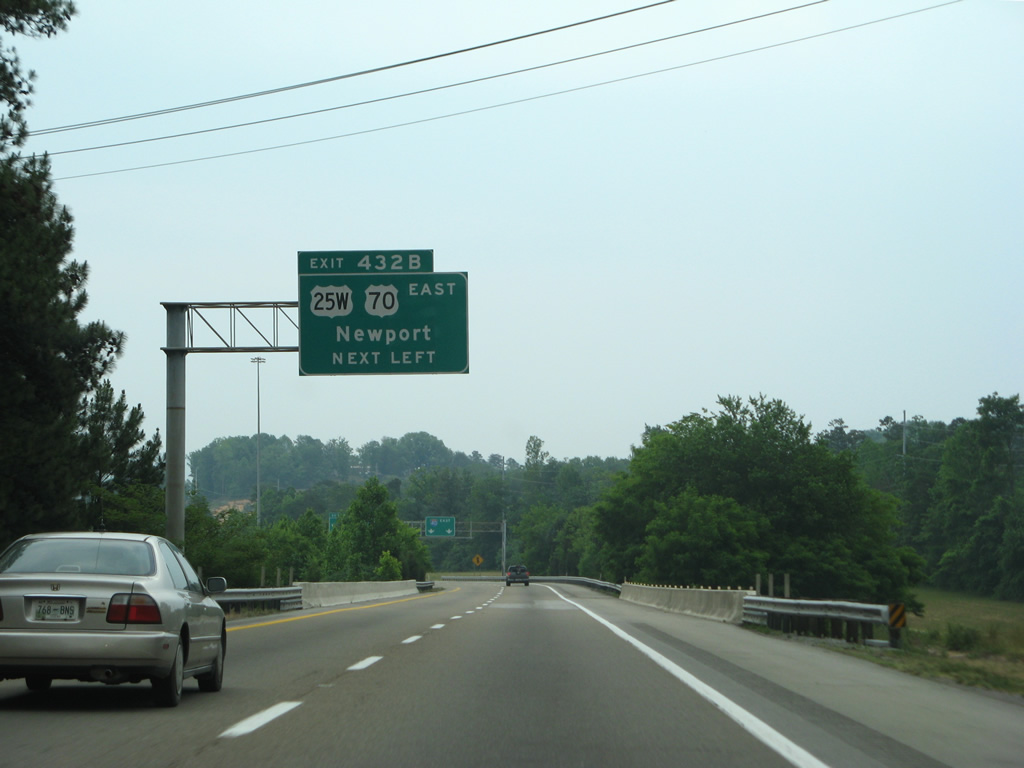
Left Exit 432B follows onto U.S. 25W south / U.S. 70 east to Wilsonville and Newport. U.S. 25W/25E combine to reform U.S. 25 , 2.58 miles to the east at West End.
05/31/07
U.S. 25/70 follow Broadway through Newport and Dixie Highway east to North Carolina. U.S. 25 and U.S. 70 meet Interstate 40 again in Asheville, but on separate alignments.
05/31/07
Passing over Carson Springs Road, Interstate 40 bypasses Newport to the southwest. This confirming marker was removed by 2013.
05/31/07
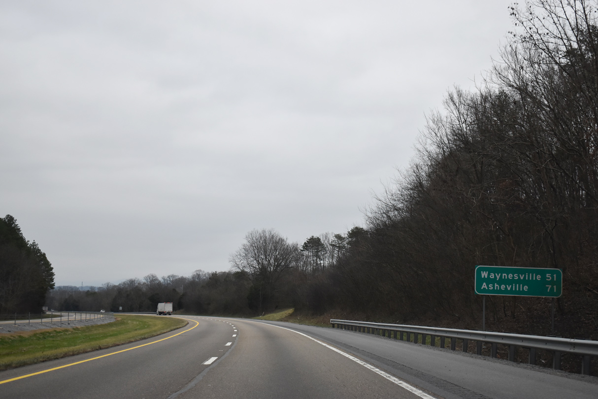
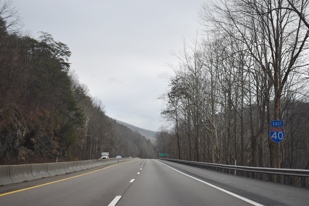
The city of Newport is the last population center along I-40 east in Tennessee. Waynesville, North Carolina is the next control point, located where the Great Smoky Mountain Expressway ties in at Exit 27.
01/16/19
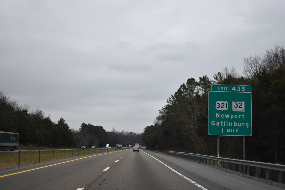
U.S. 321/SR 32 (Cosby Highway) meets Interstate 40 at diamond interchange (Exit 435) in south Newport.
01/16/19
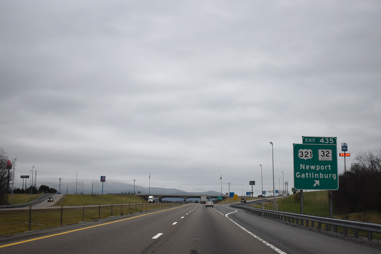
U.S. 321 leads south from Exit 435 to Gatlinburg and the Great Smoky Mountains. SR 32 combines U.S. 321 from U.S. 25/70 in Newport 13.97 miles south to Cosby. Beyond Cosby, SR 32 spurs east to Davenport Gap near Waterville, North Carolina.
01/16/19
Leaving the Newport area, Interstate 40 continues under Morrell Springs Road and by Smoky Mountain Country Club.
01/16/19
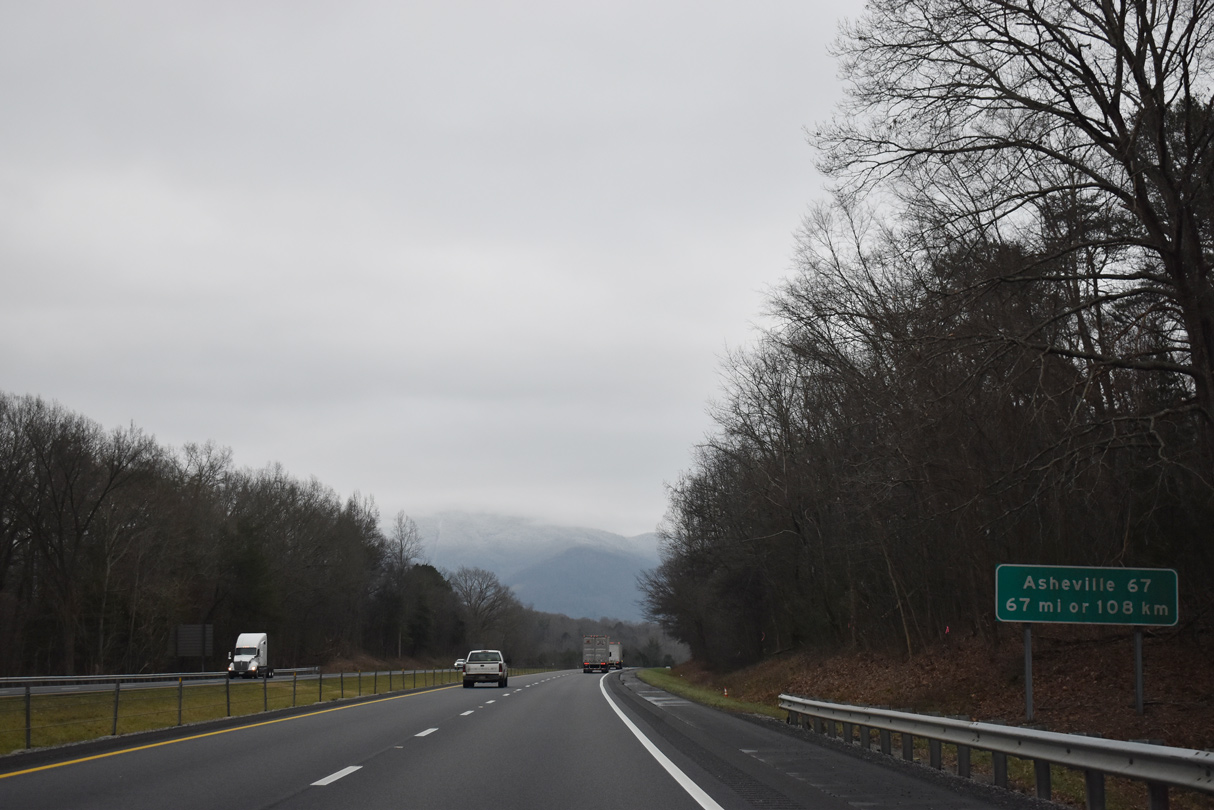
A distance sign with English and Metric units references Asheville, North Carolina ahead of Stone Mountain.
01/16/19
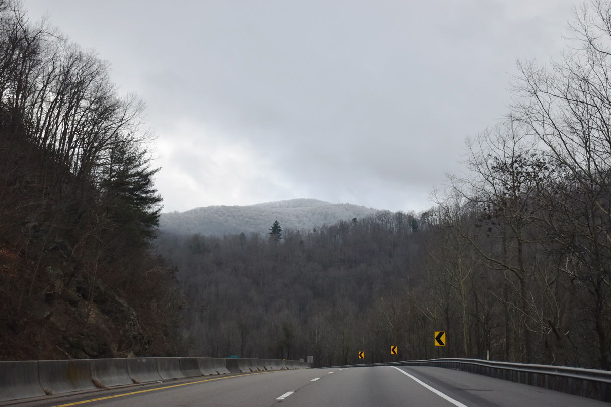
Advancing toward a gap between Green Mountain and Rich Top, Interstate 40 traverses a series of hills south into the Pigeon River valley.
01/16/19
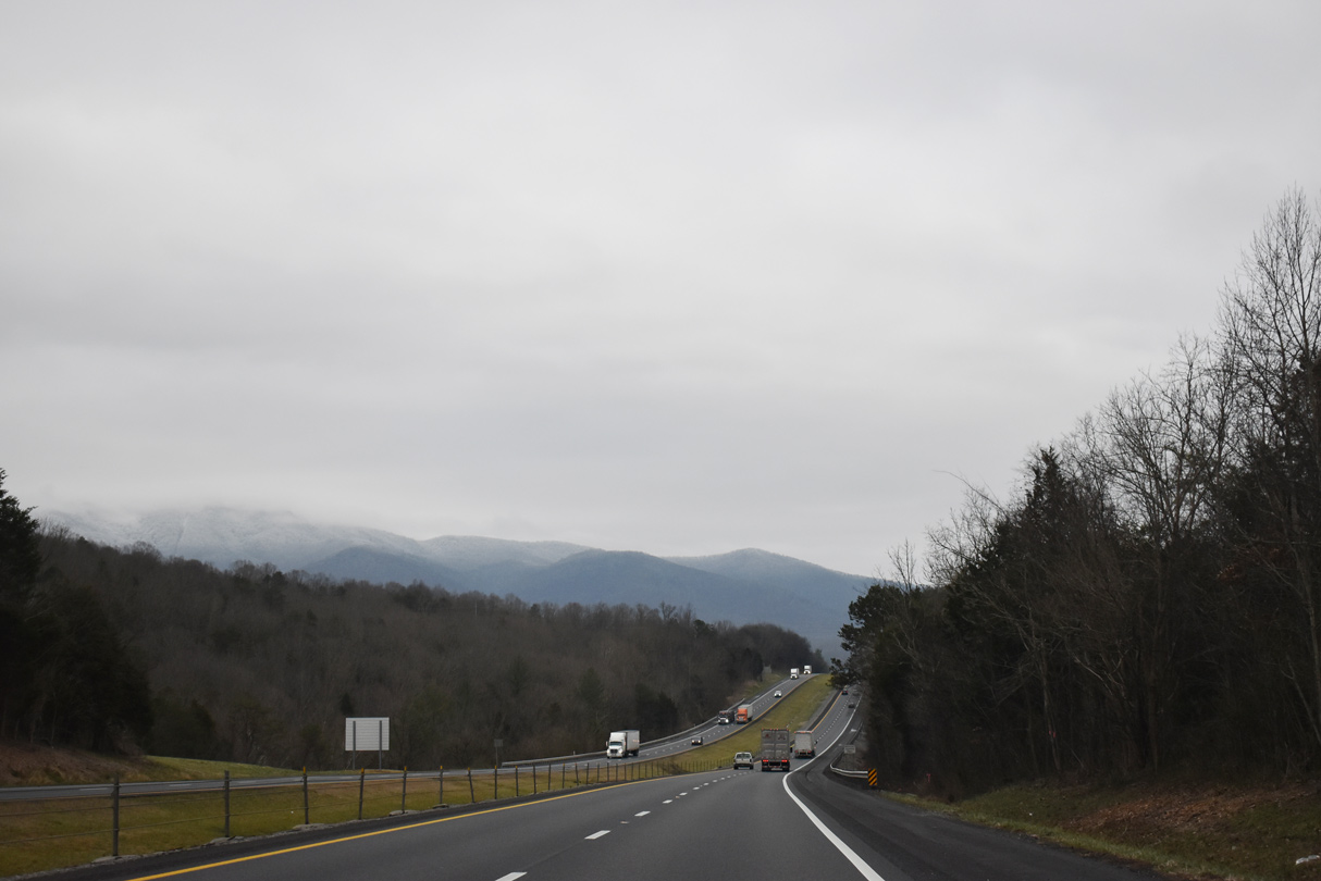
Piney, Yellow Springs and Stone Mountain rise to the east of Pigeon River and SR 73.
07/03/14
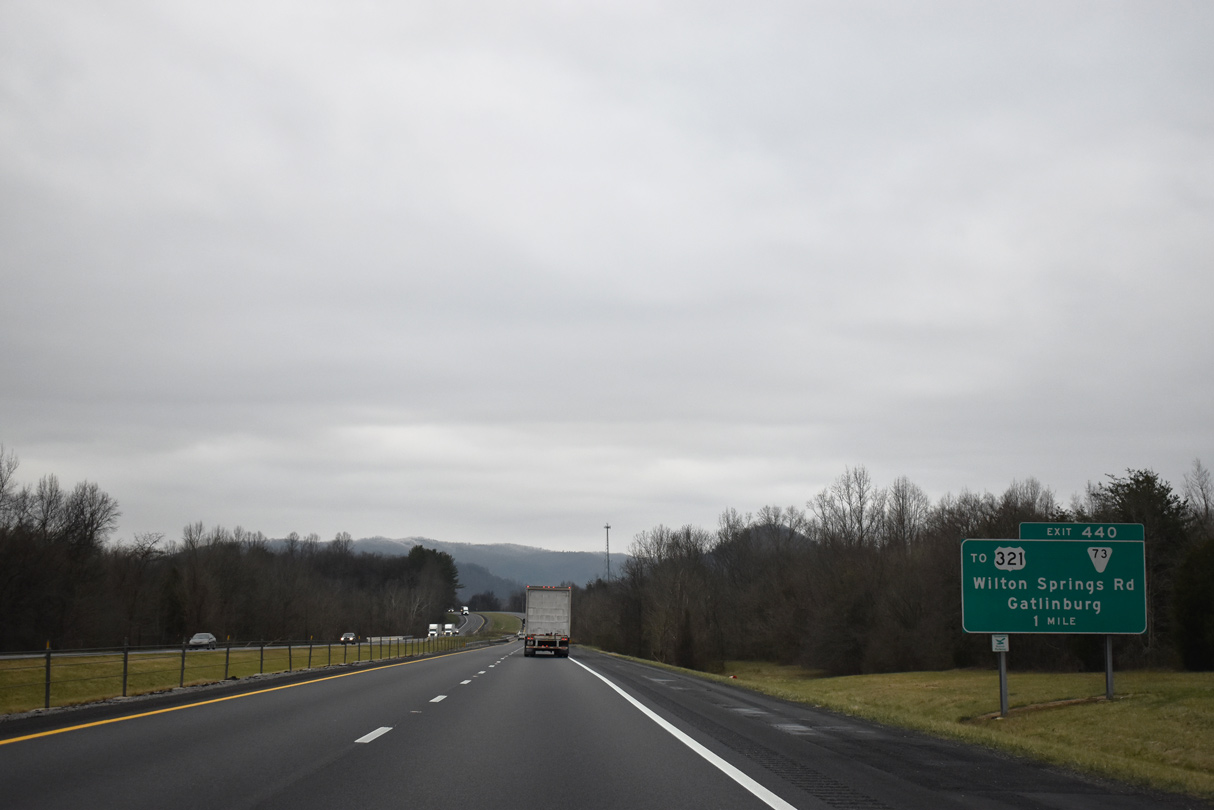
I-40 spans the Pigeon River at Vinson Island, one mile north of the diamond interchange (Exit 440) with SR 73 near Pleasant Grove.
01/16/19

SR 73 links I-40 with U.S. 321/SR 32 (Crosby Highway) 2.34 miles to the west along Wilton Springs Road. North from Exit 440 and Wilton Springs, SR 73 continues 6.78 miles to Edwina and U.S. 25/70 at Eastport.
01/16/19
Weigh stations were formerly located 0.75 miles south of Exit 440 along the western slope of Stone Mountain.
07/03/14
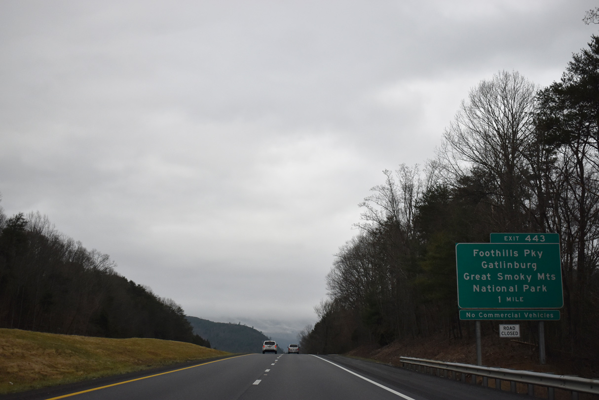
Exit 443 joins Interstate 40 with the east end of Foothills Parkway, a scenic route crossing Green Mountain west 5.9 miles to U.S. 321/SR 32 at Cosby.
01/16/19
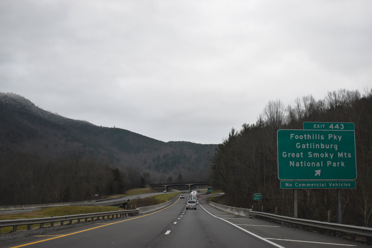
Designed to compliment Blue Ridge Parkway along the west side of the Appalachian Mountains, Foothills Parkway has two segments. The second parkway segment runs from U.S. 321 near Wear Valley 31.6 miles southwest to U.S. 129 at Chilowee. Commercial vehicles are prohibited along Foothill Parkway.
01/16/19
Interstate 40 follows the Pigeon River southward to near Cove Creek, North Carolina. Pigeon River Gorge is just south of the trumpet interchange with Foothills Parkway.
01/16/19
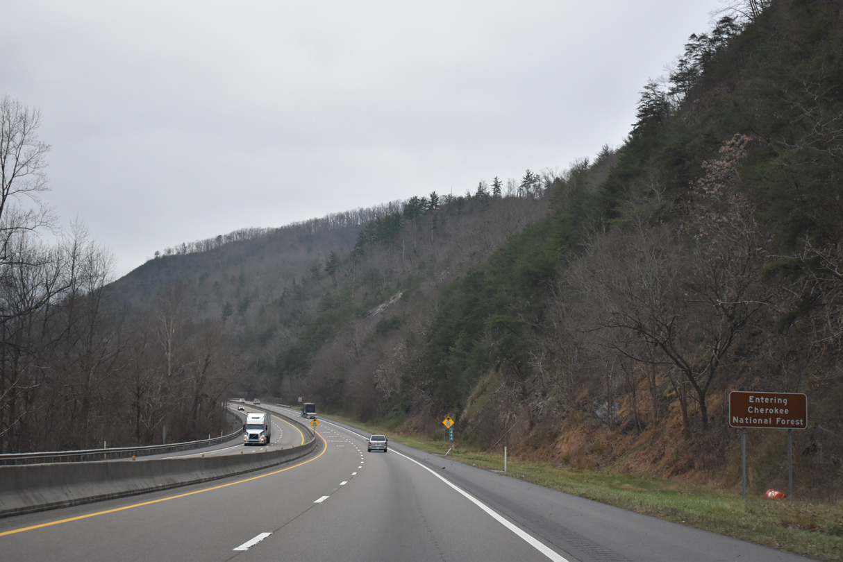
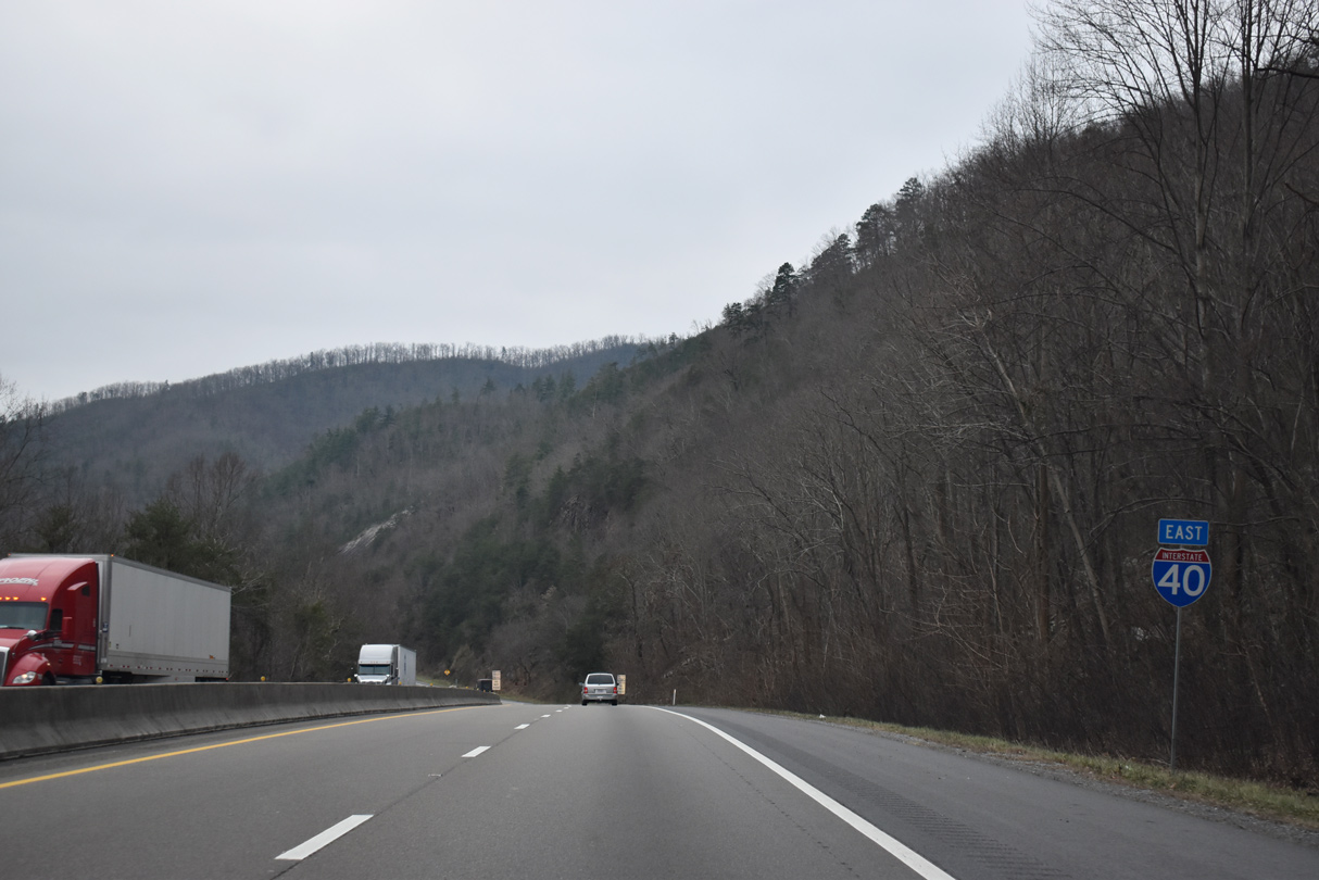
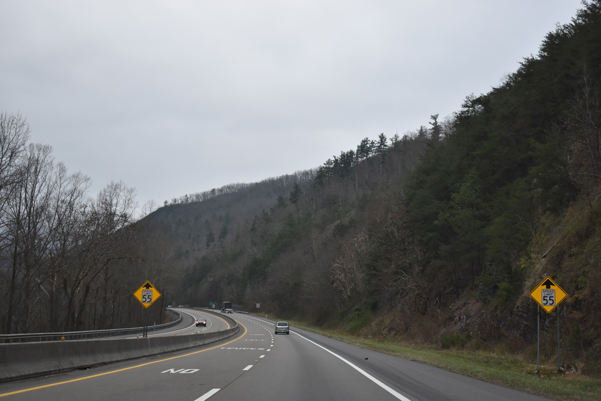
Interstate 40 traverses areas of Cherokee National Forest southeast to Pisgah National Forest in North Carolina. The speed limit reduces to 55 miles per hour.
01/16/19
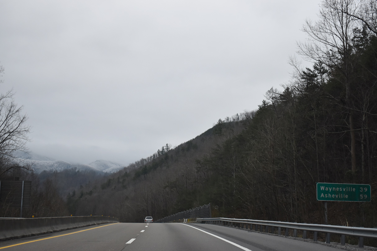
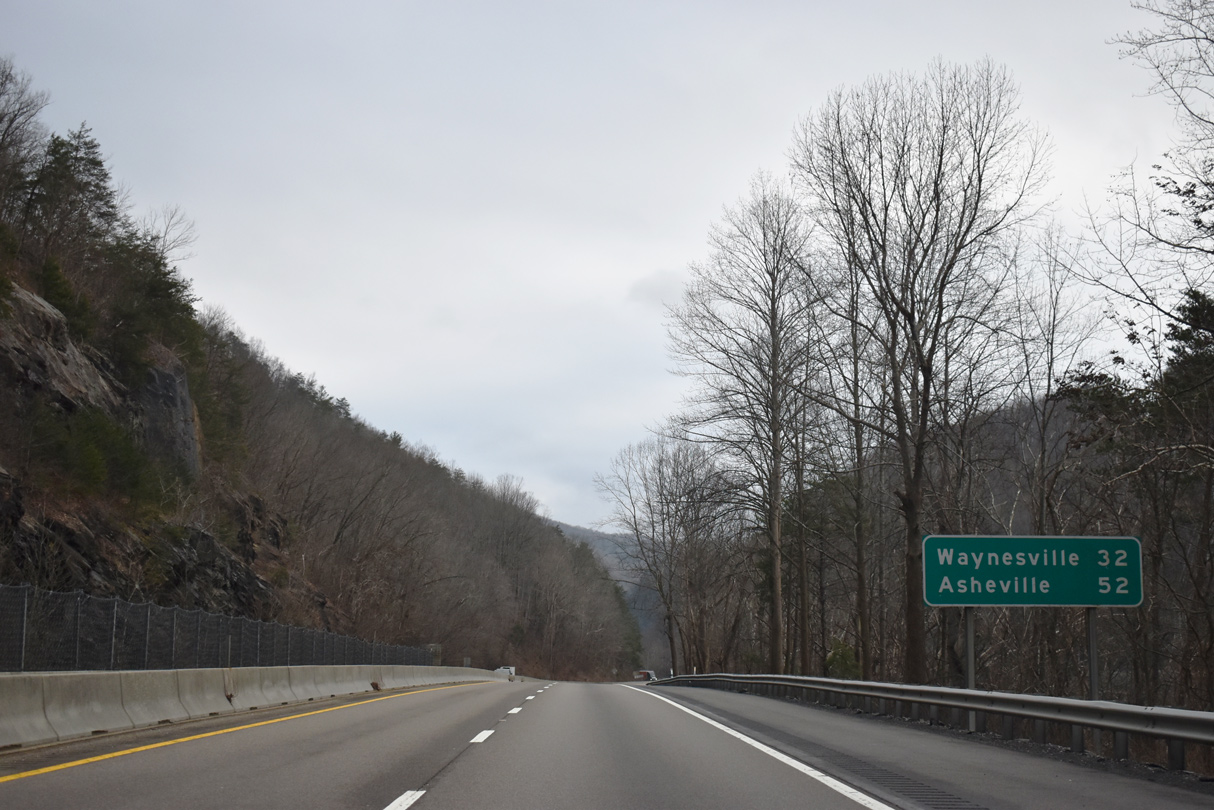
Waynesville, North Carolina is 39 miles to the east. Downtown Asheville is a 59 mile long drive via I-40 and I-240.
01/16/19
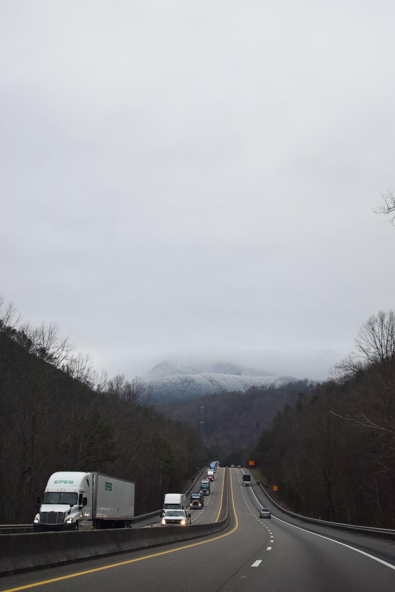
A barrier median separates the roadways of Interstate 40 throughout Pigeon River Gorge. Mount Camerer rises from the Great Smoky Mountains along the southern horizon.
01/16/19

I-40 makes a sharp eastern turn south of Laurel Hollow at the third of four crossings over the Pigeon River.
07/03/14
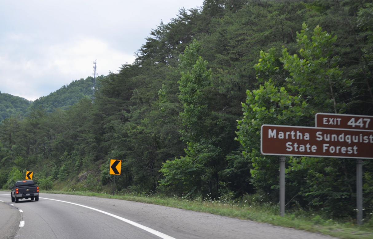
Martha Sundquist State Forest lies within Cherokee National Forest. The parkland was purchased by the state in 2001 from International Paper Company. Reaching the park requires a drive along Cripple Creek, Big Creek and Gulf Roads. Gulf Road derives its name from the Lambs Gulf Company, owners of the forest land until 1930.1
07/03/14
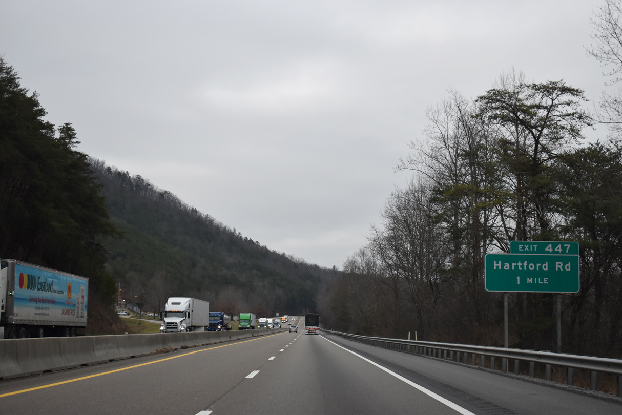
Hartford Road parallels Interstate 40 and the Pigeon River south from Denton to a parclo interchange (Exit 447) at Hartford and Big Creek Road.
01/16/19
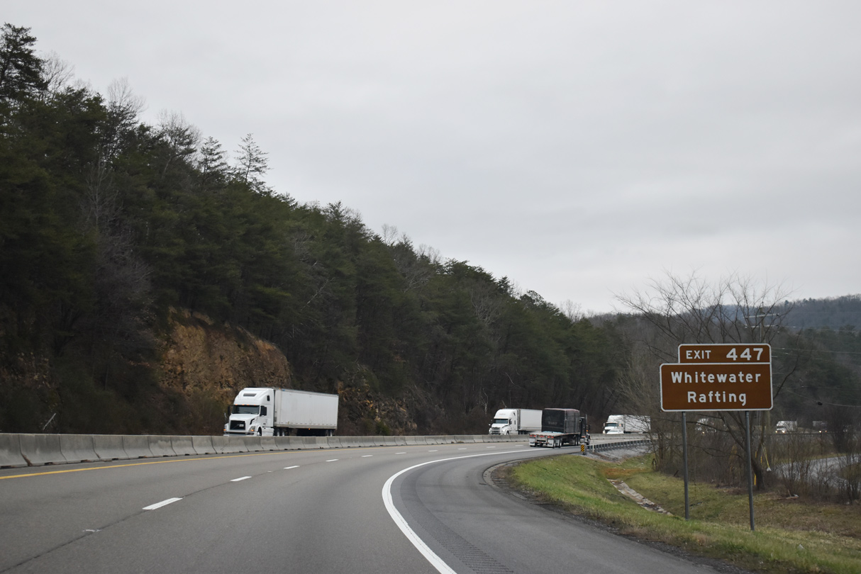
Whitewater rafting opportunities are available at Hartford.
01/16/19
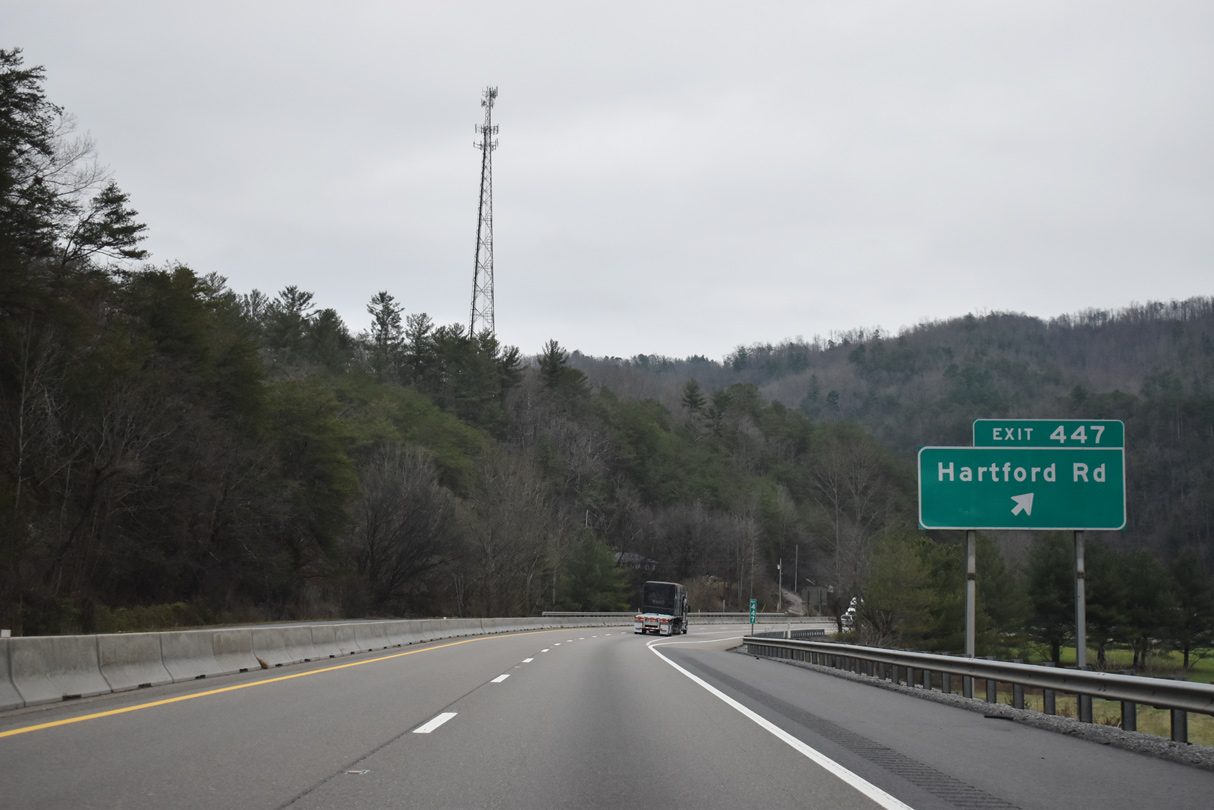
Exit 447 leaves Interstate 40 east for adjacent Hartford Road. Big Creek Road stems east from Hartford Road to Grassy Fork.
01/16/19
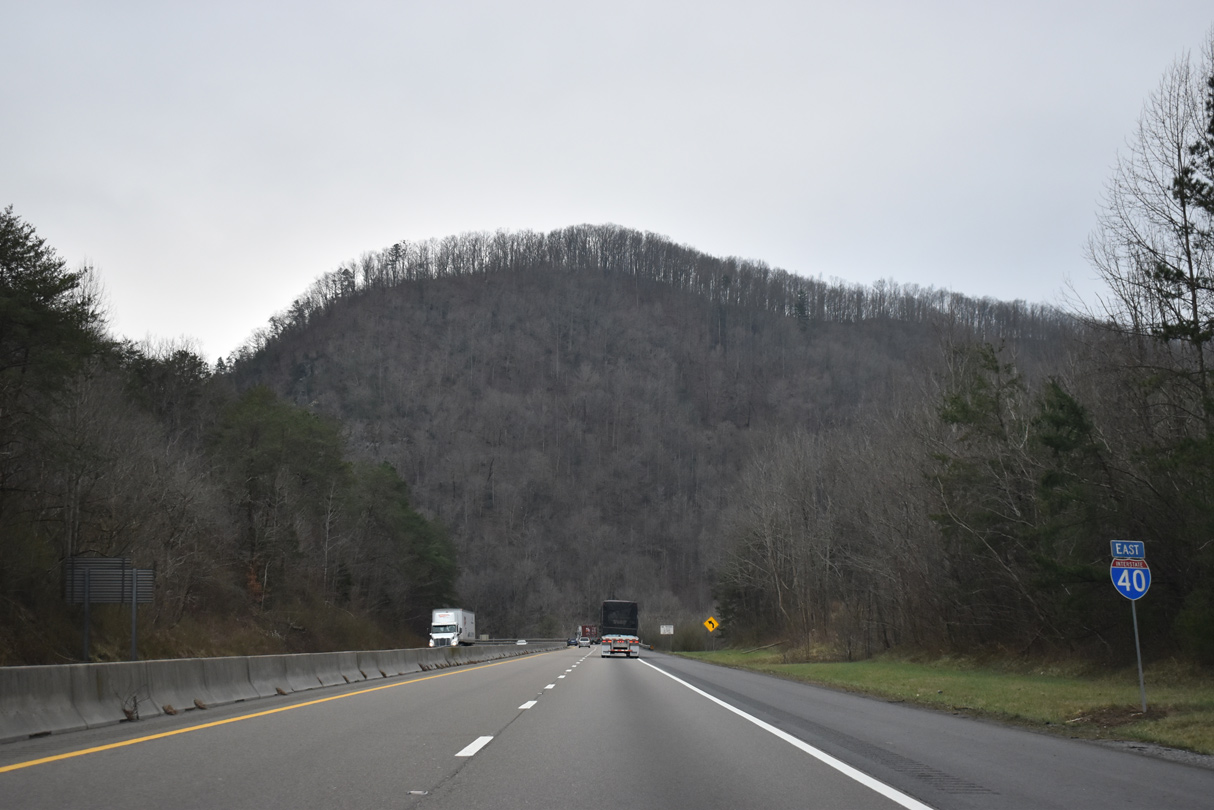
Interstate 40 turns east from Hartford ahead of Gulf Mountain.
01/16/19

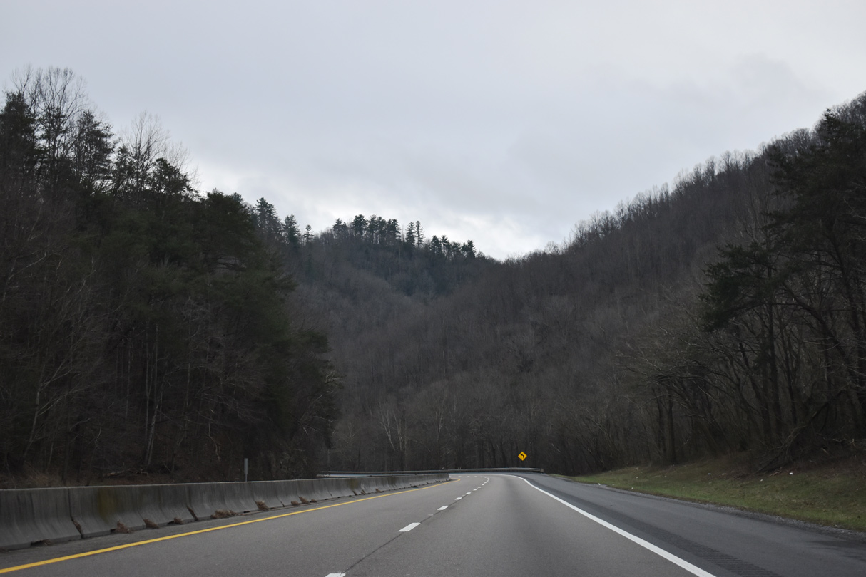
Hugging cliffs above the Pigeon River, Interstate 40 runs west of Big Flat Ridge and Rich Mountain.
05/31/07
Rich Mountain comes into view from the S-curve along Interstate 40 near Browns.
01/16/19
Rich Mountain comes into view on the Interstate 40 eastbound bend near Browns.
07/03/14
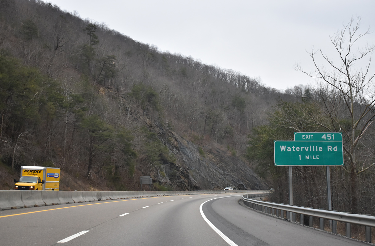
A diamond interchange (Exit 451) joins Interstate 40 with Green Corner Road and Tobes Creek Road to Waterville Road at Browns.
01/16/19
07/03/14
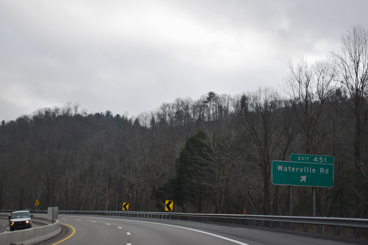
Exit 451 connects Interstate 40 with Waterview Road along the west side of Pigeon River. Waterview Road spurs southward to Waterville and Mt. Sterling, North Carolina.
01/16/19
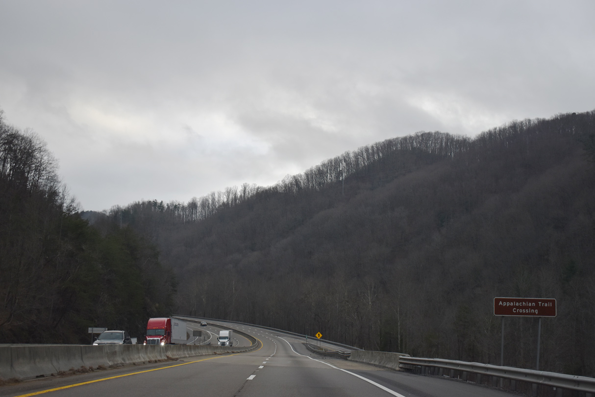
Green Corner Road and the Appalachian Trail pass under I-40 east to Snowbird Mountain.
01/16/19
Continuing southeast from Browns, Interstate 40 runs between Cammerer Ridge and Snowbird Mountain around 1,500 feet above sea level.
01/16/19
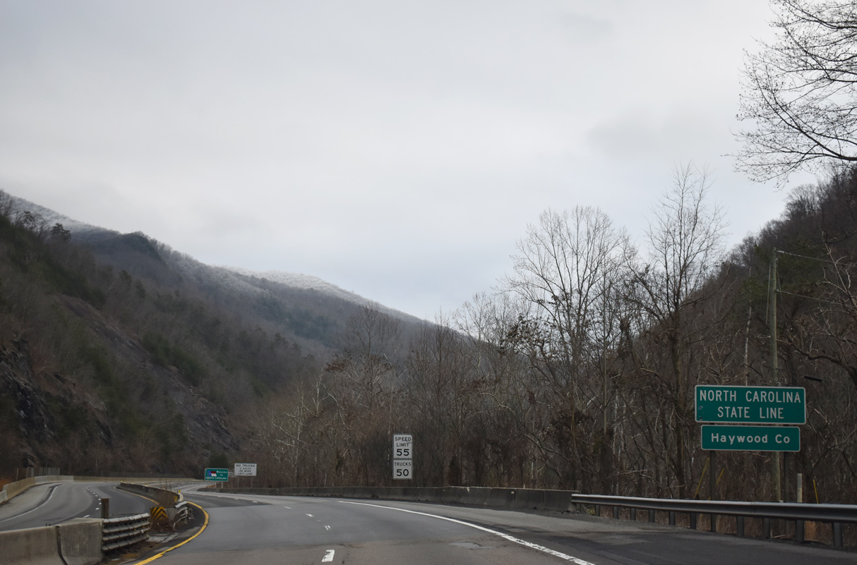
Asheville lies 52 miles east from the North Carolina state line.
01/16/19

Leaving Cherokee National Forest, Interstate 40 crosses into Haywood County, North Carolina line near Waterville.
01/16/19
References:
http://www.tn.gov/agriculture/forestry/stateforest14.shtml.
Photo Credits:
- Carter Buchanan: 05/01/05
- Andy Field, Carter Buchanan: 05/31/07
- Brent Ivy: 07/03/14, 01/16/19
Connect with:
Page Updated Saturday June 26, 2021.