
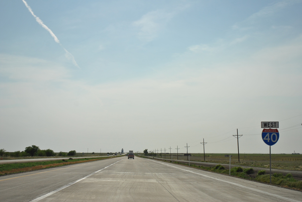
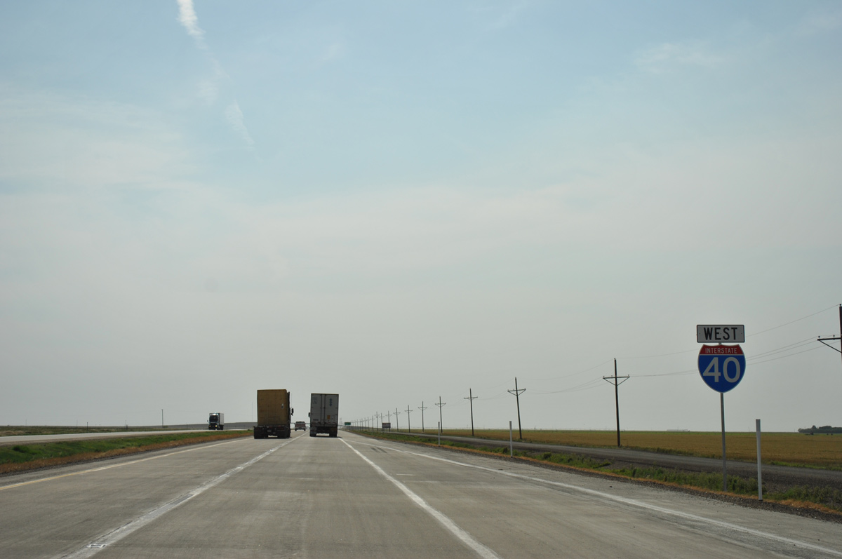
Interstate 40 West - Groom to Amarillo

 West
West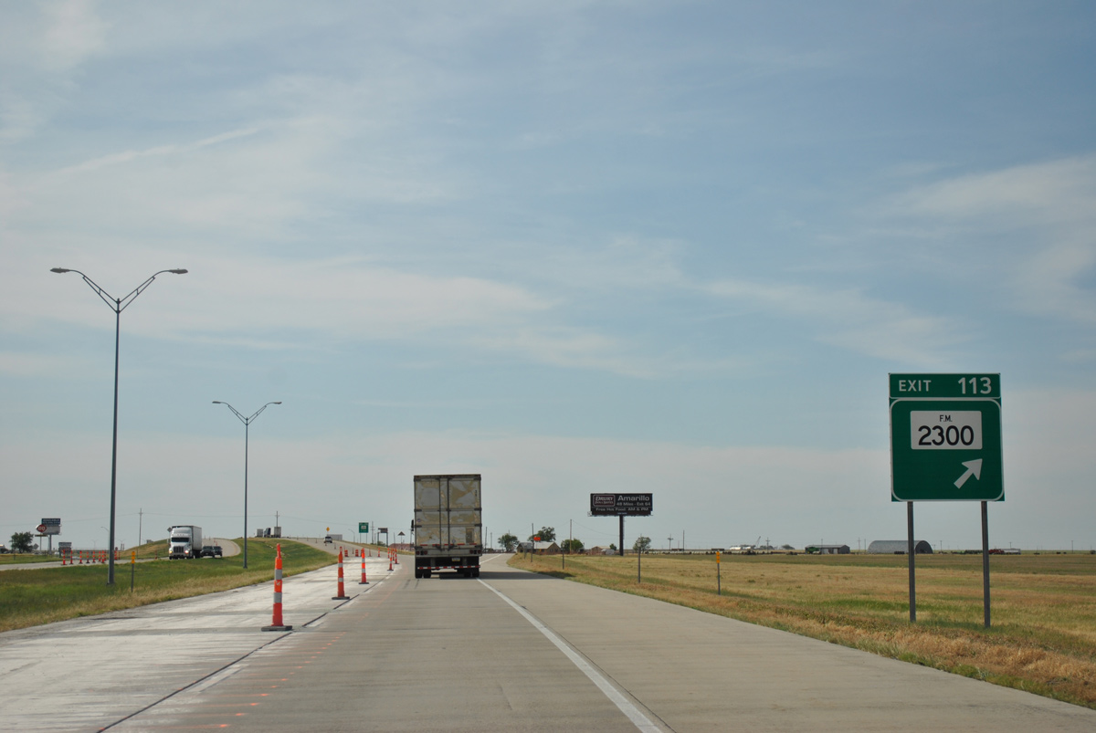
FM 2300 starts a 23.40 mile route to U.S. 60 near Pampa from Business Loop I-40 (Front Street) in Groom.
05/05/12
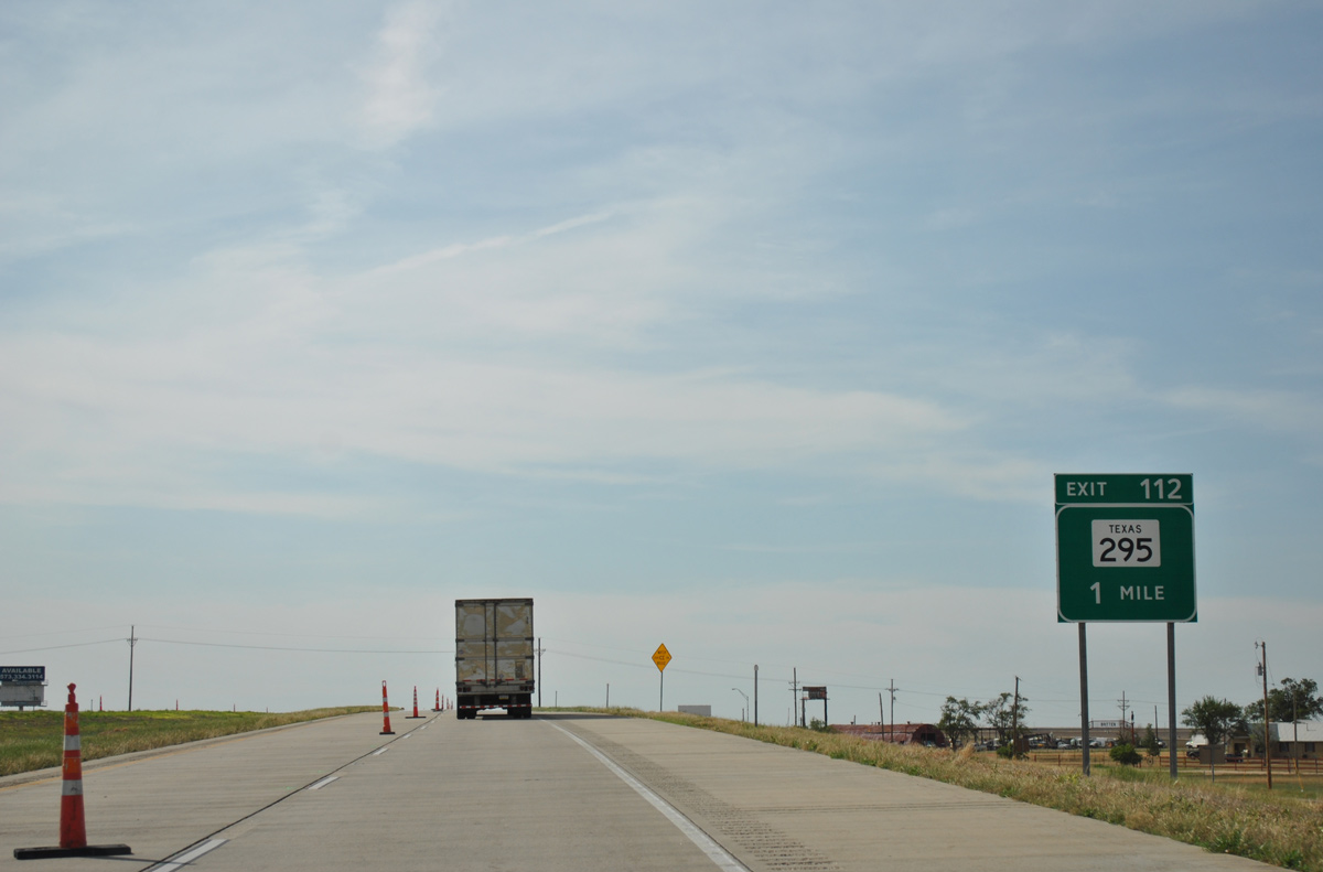
Interstate 40 arcs west from FM 2300 and quickly approaches a diamond interchange (Exit 112) with FM 295 (Western Avenue). Guide signs for FM 295 erroneously reference the route as a state highway.
05/05/12
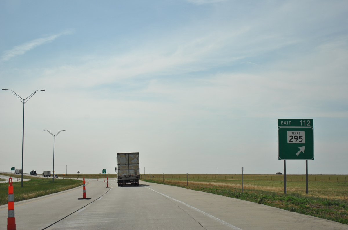
Like FM 2300, FM 295 originates from Historic U.S. 66 on Front Street in Groom. Traveling a fairly linear route, FM 295 stretches 8.70 miles north across agricultural and ranch land to FM 293.
05/05/12
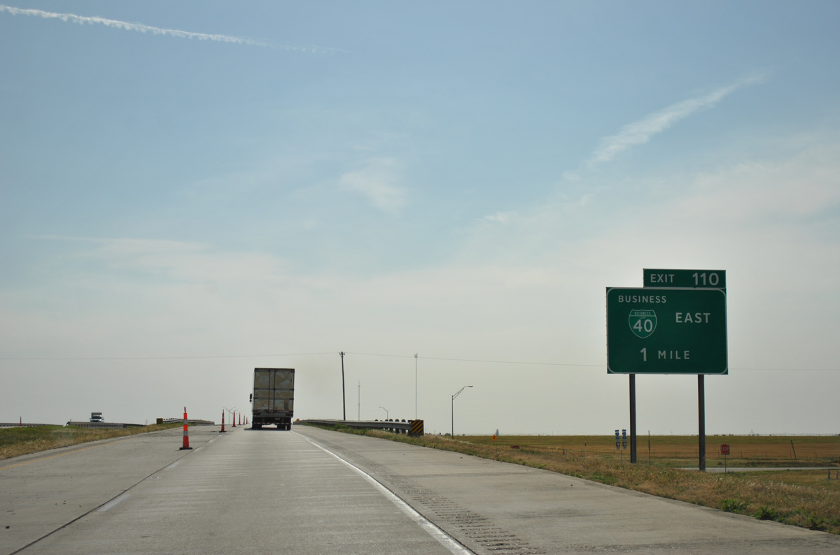
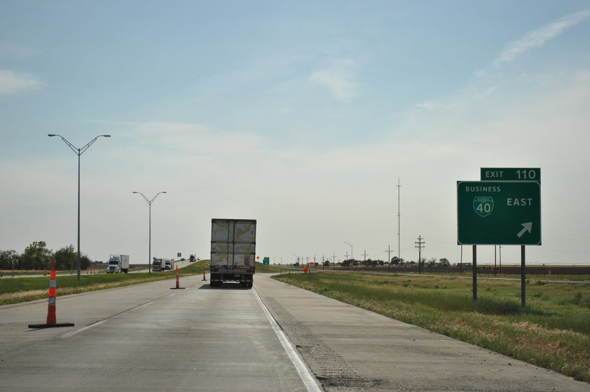
Advancing west, IH 40 and Business Loop I-40F converge at a modified diamond interchange (Exit 110).
05/05/12

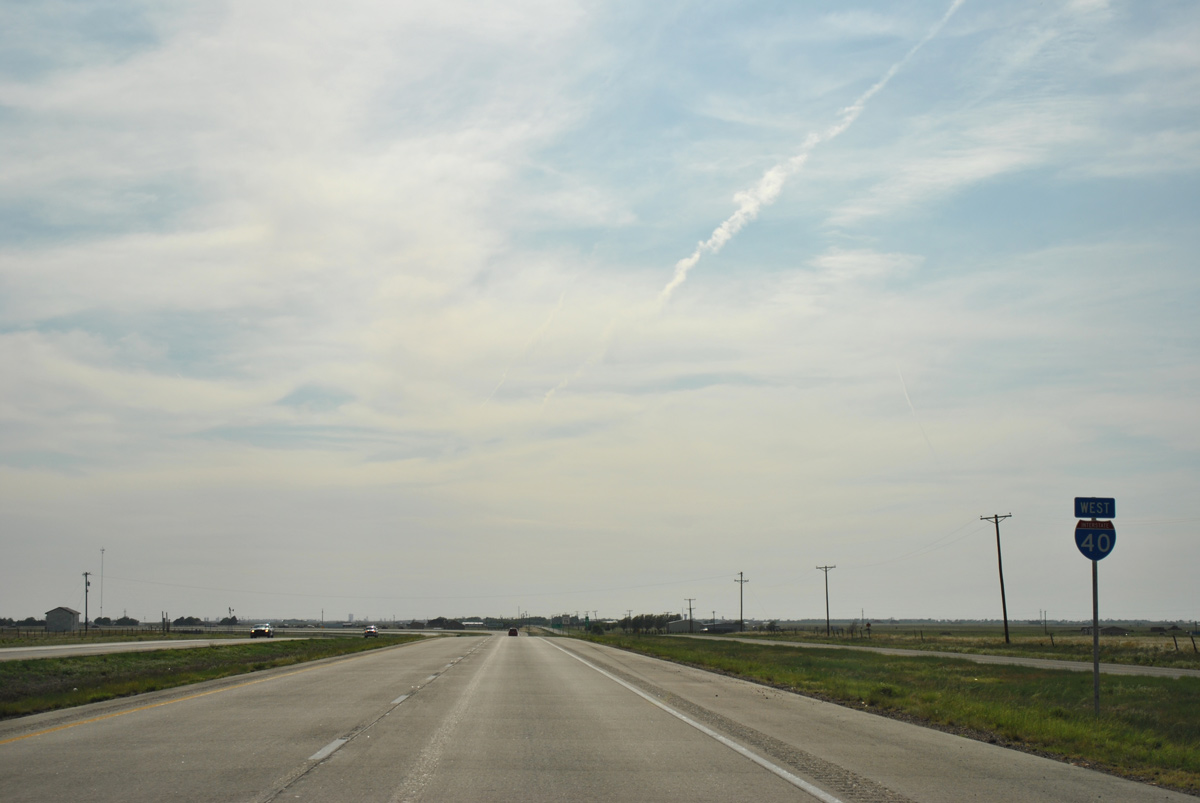
Reassurance marker for IH 40 west on the short stretch between the FM 295 on-ramp and west end of Business Loop I-40.
05/05/12
Historic U.S. 66 expands into a dual highway east from the Business Loop I-40 access road at Exit 110 back to Groom. There are no traveler services located nearby.
05/05/12
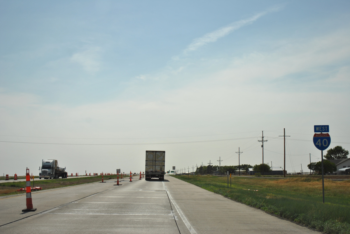
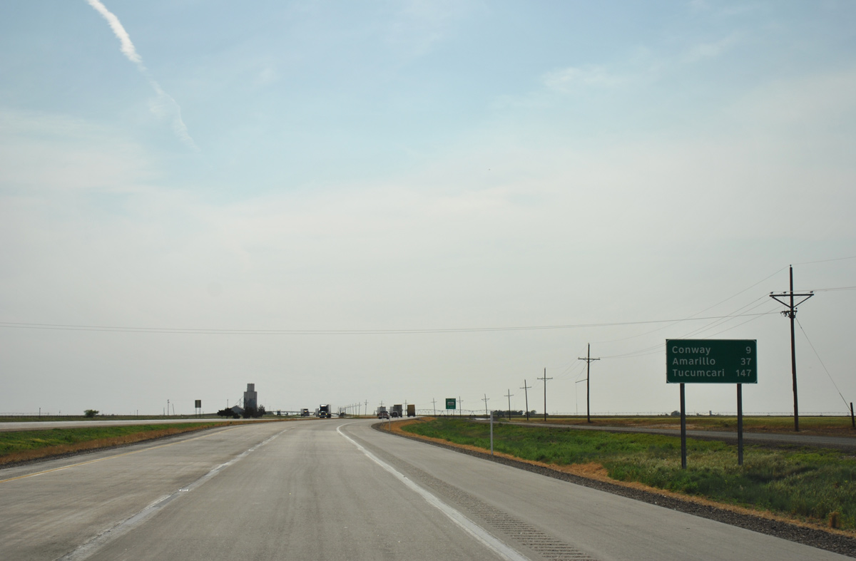
Interstate 40 continues 12 miles west to Conway.
05/05/12
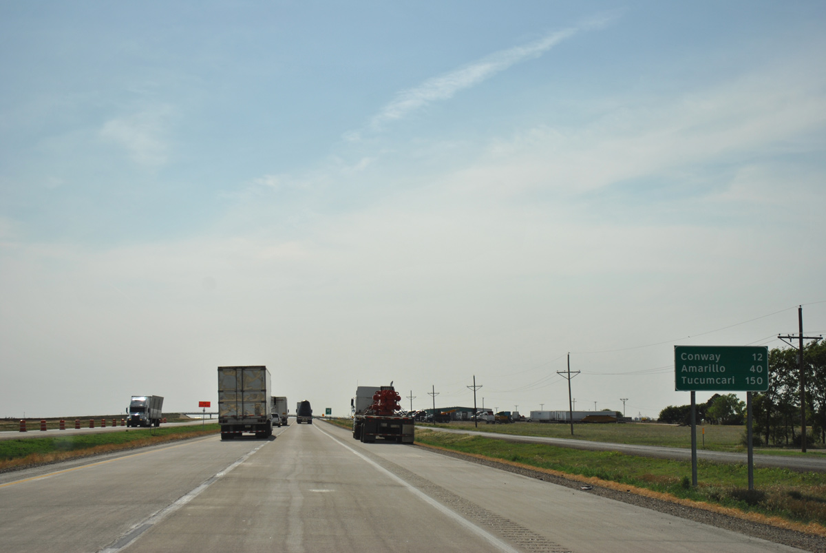
Tucumcari, New Mexico debuts on westbound distance signs at 120 miles out. Amarillo is now 40 miles away.
05/05/12
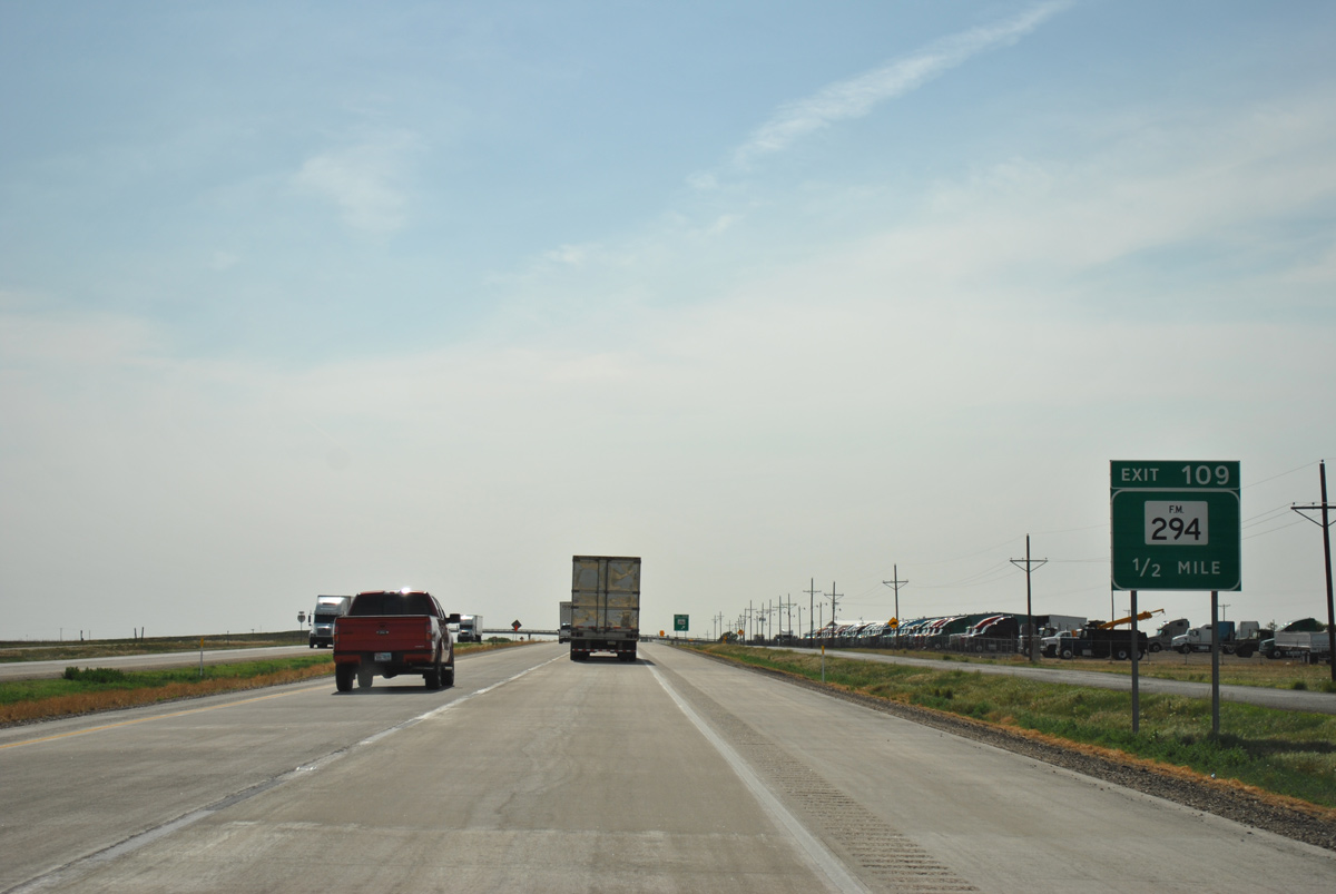
FM 294 crosses paths with IH 40 in a half mile beyond a commercial truck dealership at Exit 109.
05/05/12
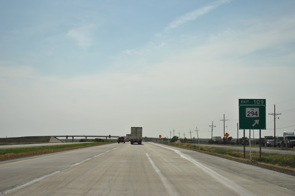
Totaling 38.25 miles, FM 294 travels south to U.S. 287 at Goodnight. Northward, FM 294 continues to the towns of White Deer and Skellytown.
05/05/12
Long straight aways lead Interstate 40 west for ten miles before the route turns again ahead of Conway.
05/05/12
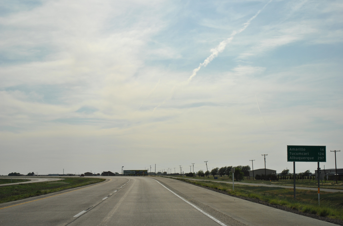
The first Amarillo exit lies 28 miles ahead, while the central business district is situated nine miles further. Tucumcari, New Mexico is now 147 miles away.
05/05/12
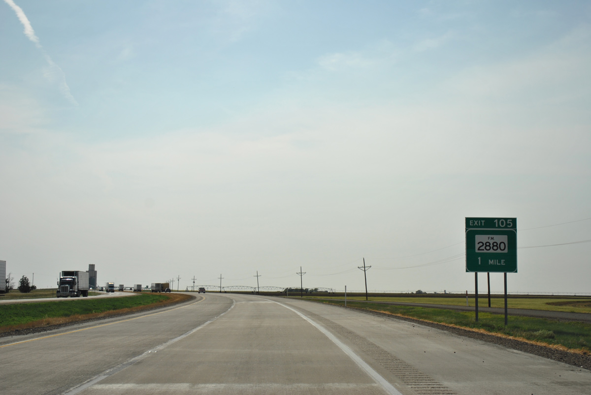
FM 2880 meets IH 40 at an interchange identical to the one with FM 294. The north-south road was realigned onto an overpass in 1971, and the old alignment was repurposed as connectors with the frontage road system.
05/05/12
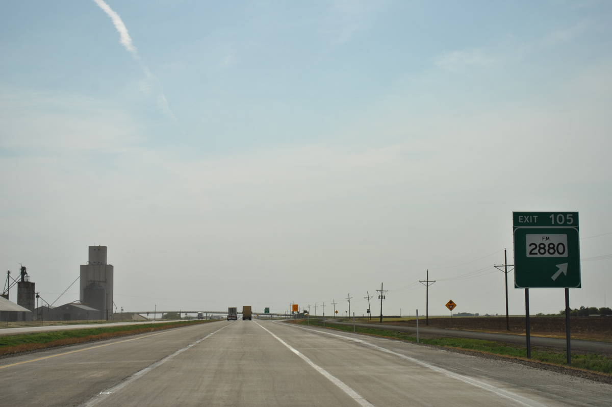
Exit 105 departs 0.6 miles ahead of the FM 2880 bridge across IH 40. The FM road runs 8.61 miles north from the south side access road at Exit 105 to FM 293 at CR 180.
05/05/12
12,439 vpd was recorded by TxDOT in 2015 on the 6.6 mile exit less stretch to SH 203 south (Exit 98).
05/05/12
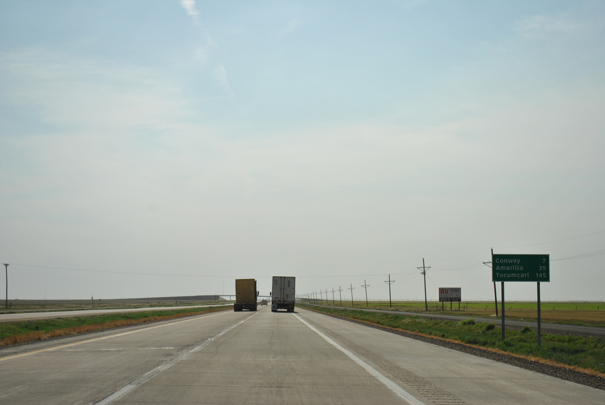
Westbound distance sign posted ahead of the CR 157 overpass for Amarillo (35 miles) and Tucumcari (145 miles).
05/05/12
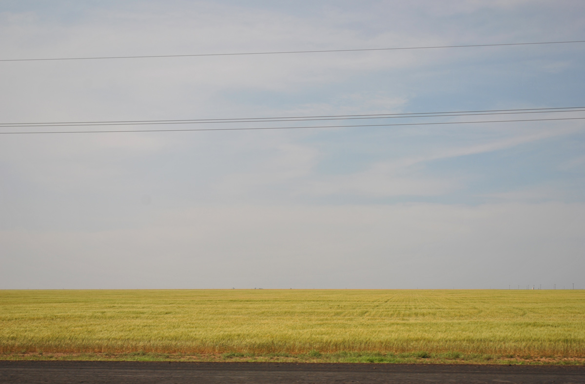
Open prairie land spreads to the north of Interstate 40 through southern Carson County.
05/05/12
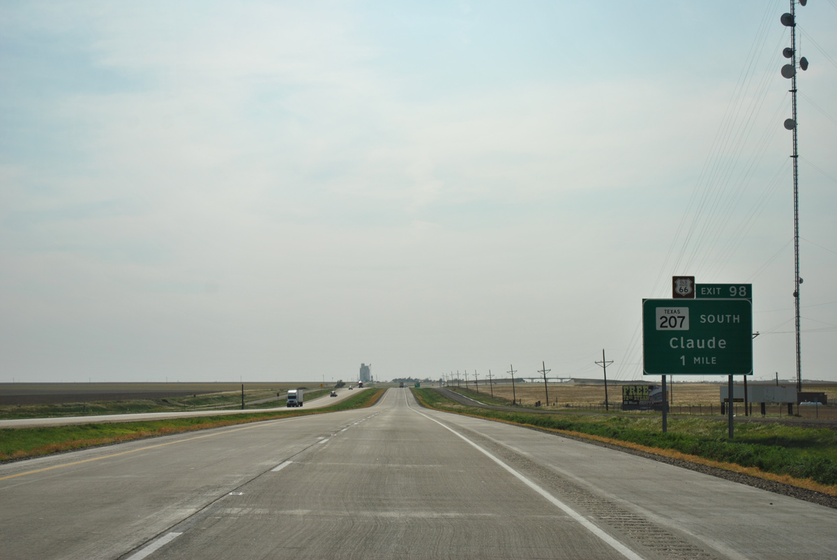
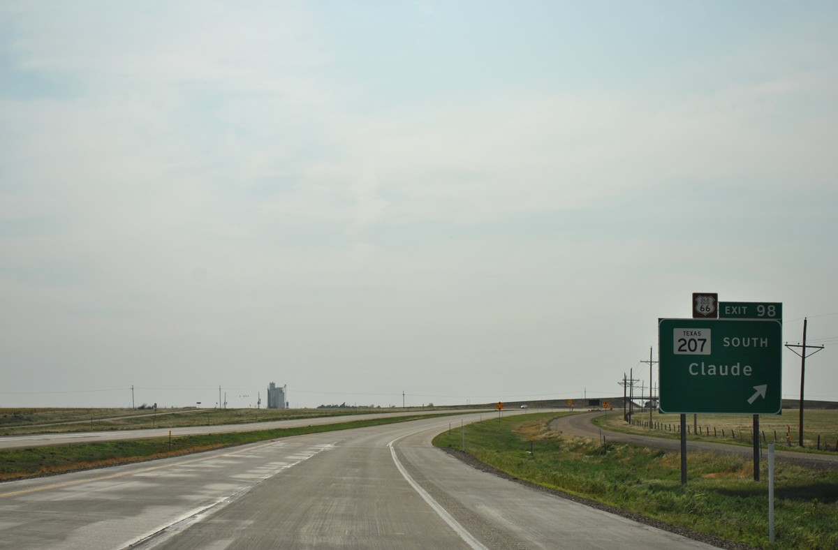
SH 207 travels 6.6 miles north from U.S. 287 and the Armstrong County seat of Claude to overtake Historic U.S. 66 one mile west to Conway. A half diamond interchange (Exit 98) with CR 311 connects IH 40 west with the state highway south.
05/05/12
IH 40 turns northwest to bypass Conway as Exit 98 parts ways for CR 311 south to SH 207 south. SH 207 travels 200 miles overall, ending well south of Conway at U.S. 380 in Post.
05/05/12
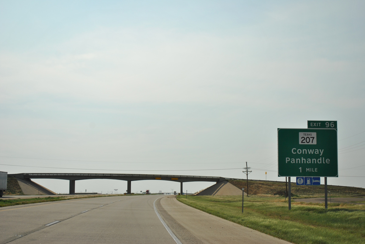
SH 203 dog legs west to Conway and north across Interstate 40 at a diamond interchange (Exit 96) in one mile.
05/05/12
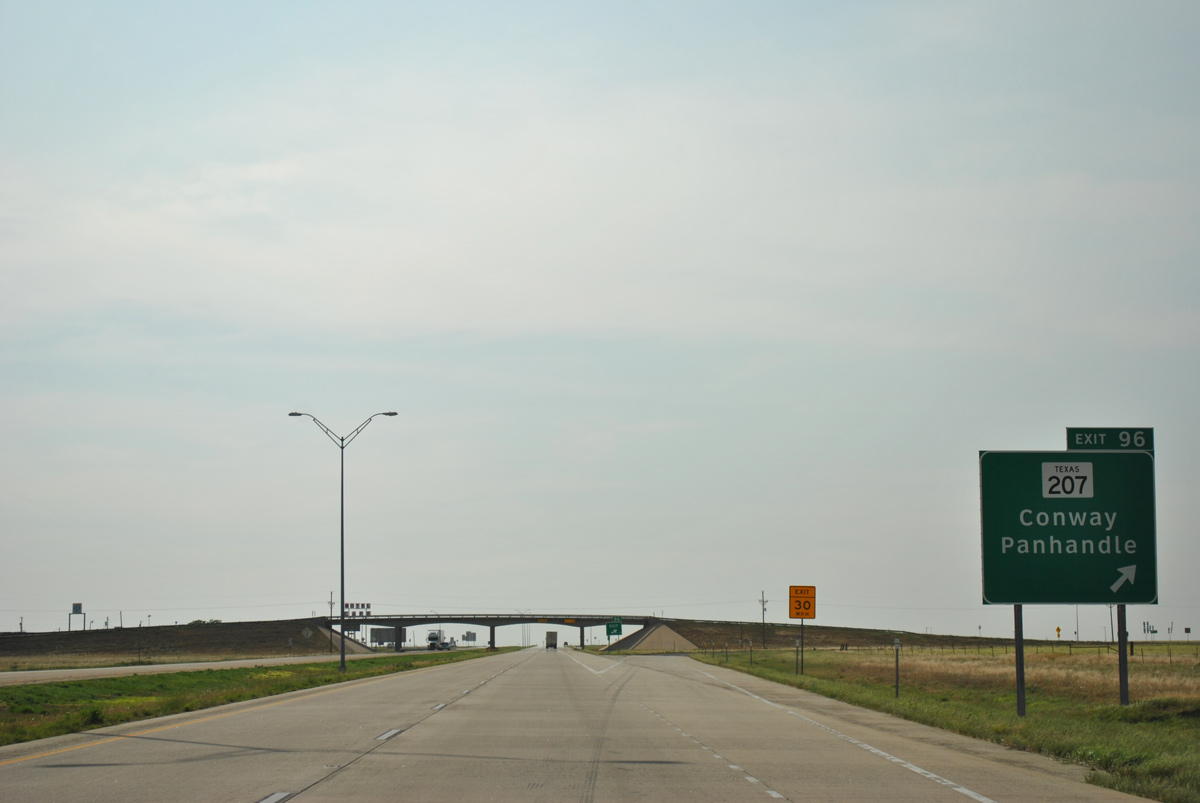
An 8.3 mile drive takes motorists from Exit 96 to the Carson County seat of Panhandle north, where SH 203 meets U.S. 60. The state highway stretches all the way to the Oklahoma state line via Borger and Spearman.
05/05/12
Interstate 40 stays one mile north of parallel Historic U.S. 66 (FM 2161) for the next four miles.
05/05/12
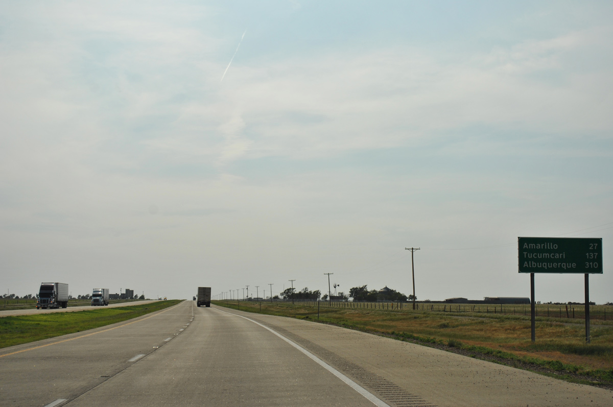
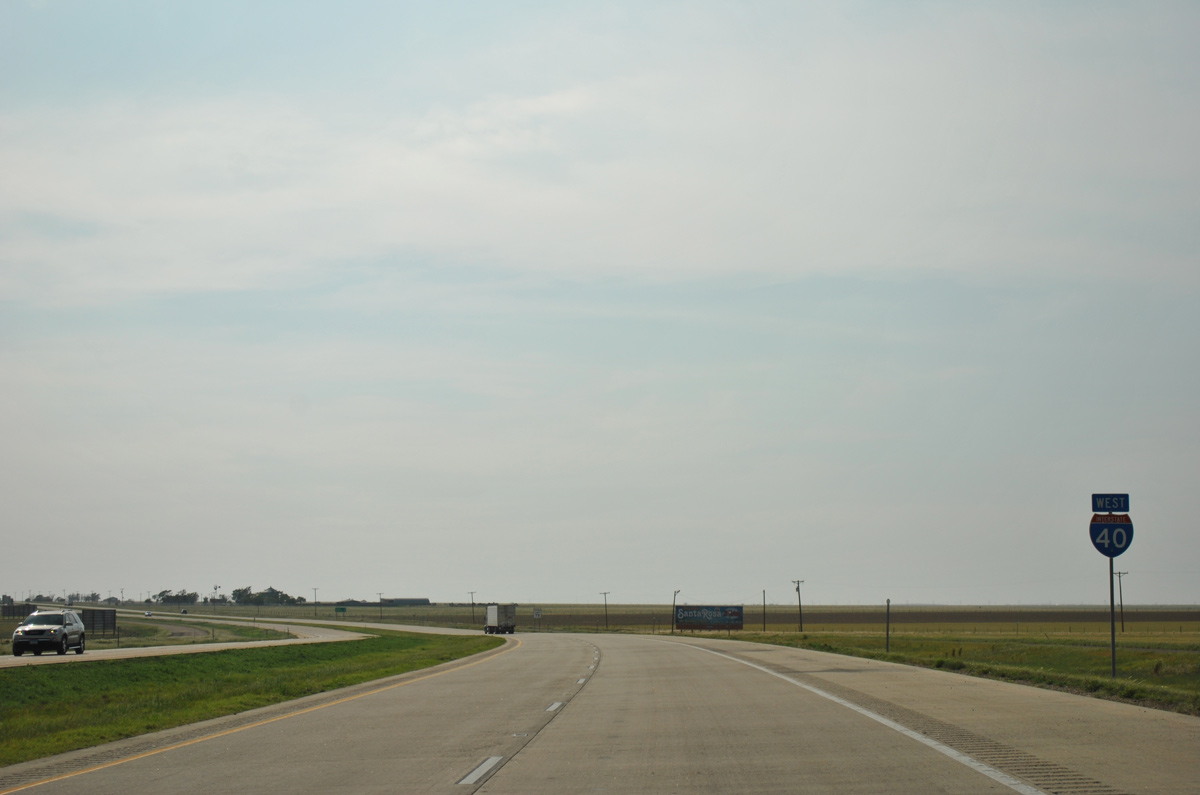
Albuquerque, New Mexico debuts on westbound distance signs at 310 miles out. Amarillo is now only 27 miles away.
05/05/12
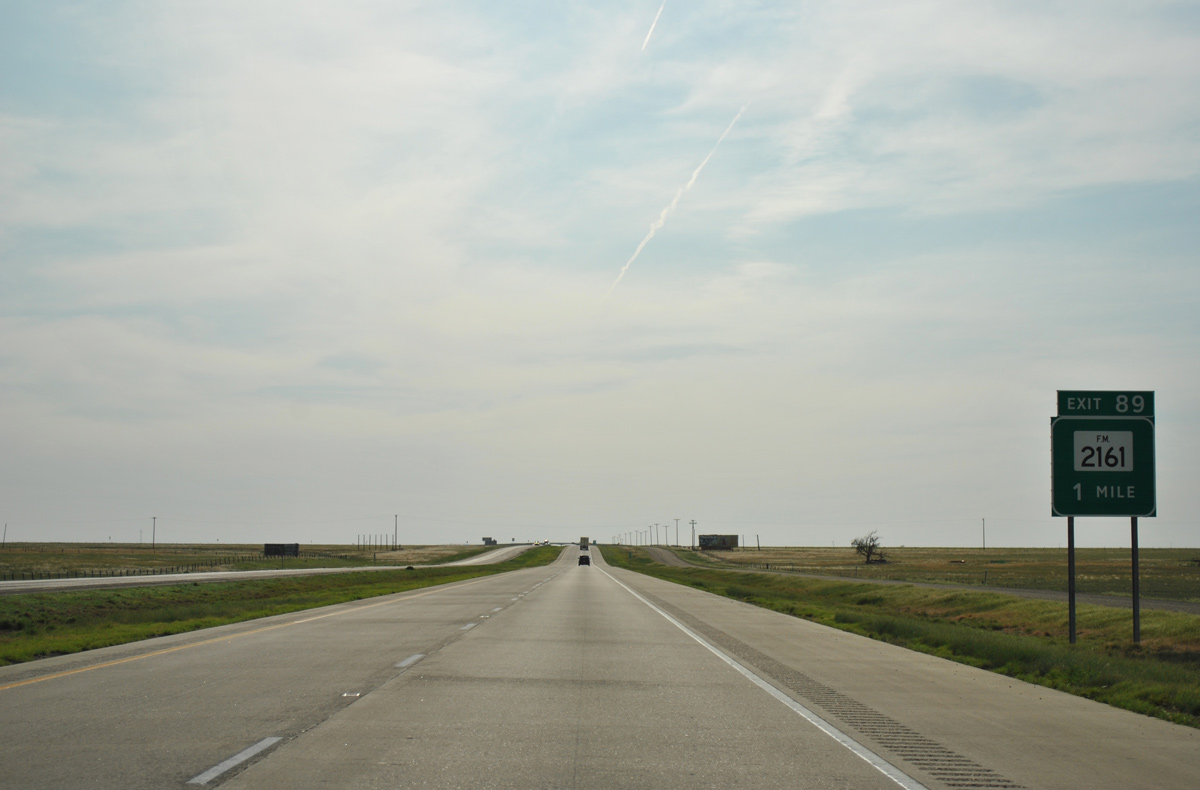
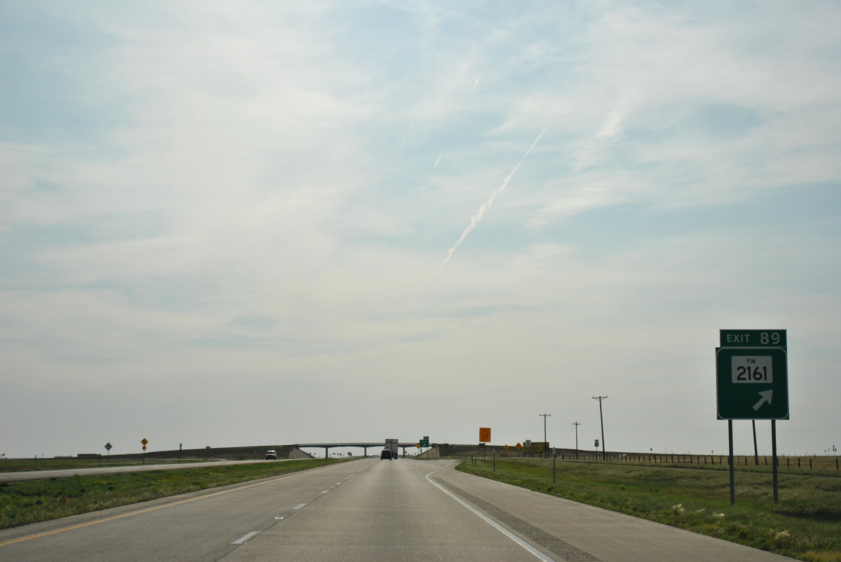
Historic U.S. 66 doubles as FM 2161 west for 7.37 miles from SH 207 to the diamond interchange with Interstate 40 at Exit 89.
05/05/12
Interstate 40 again overtakes old U.S. 66 west as FM 2161 extends north 5.41 miles to U.S. 60.
05/05/12
Westbound shield assembly for IH 40 posted after the on-ramp from FM 2161.
05/05/12
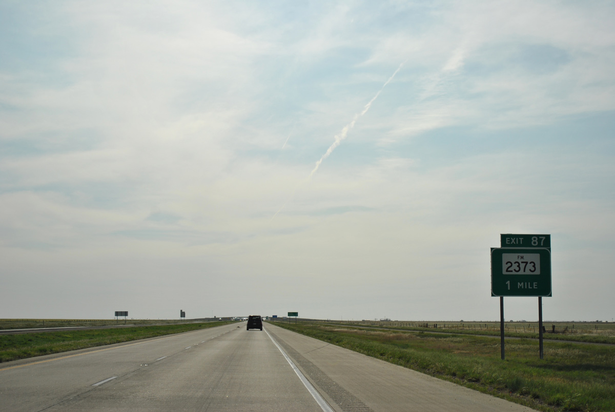
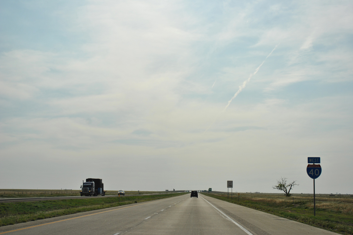
Motorists next approach the diamond interchange (Exit 87) with FM 2373 south of Sevenmile Basin.
05/05/12
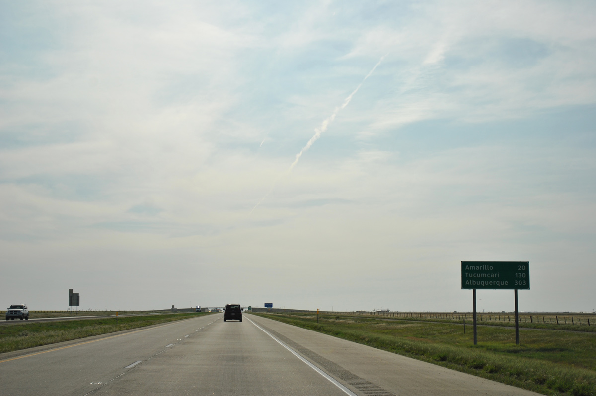
Downtown Amarillo is 20 miles to the west. With over 5,000 in population, Tucumcari, New Mexico represents the next largest city along the Interstate 40 corridor, 110 miles beyond Amarillo.
05/05/12
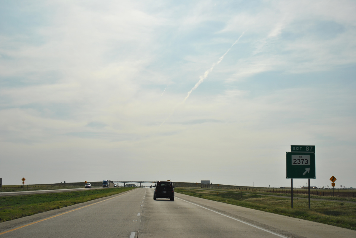
FM 2373 is classified as a major collector by TxDOT as it links IH 40 with U.S. 287 to the south and U.S. 60 and FM 293 to the north.
05/05/12
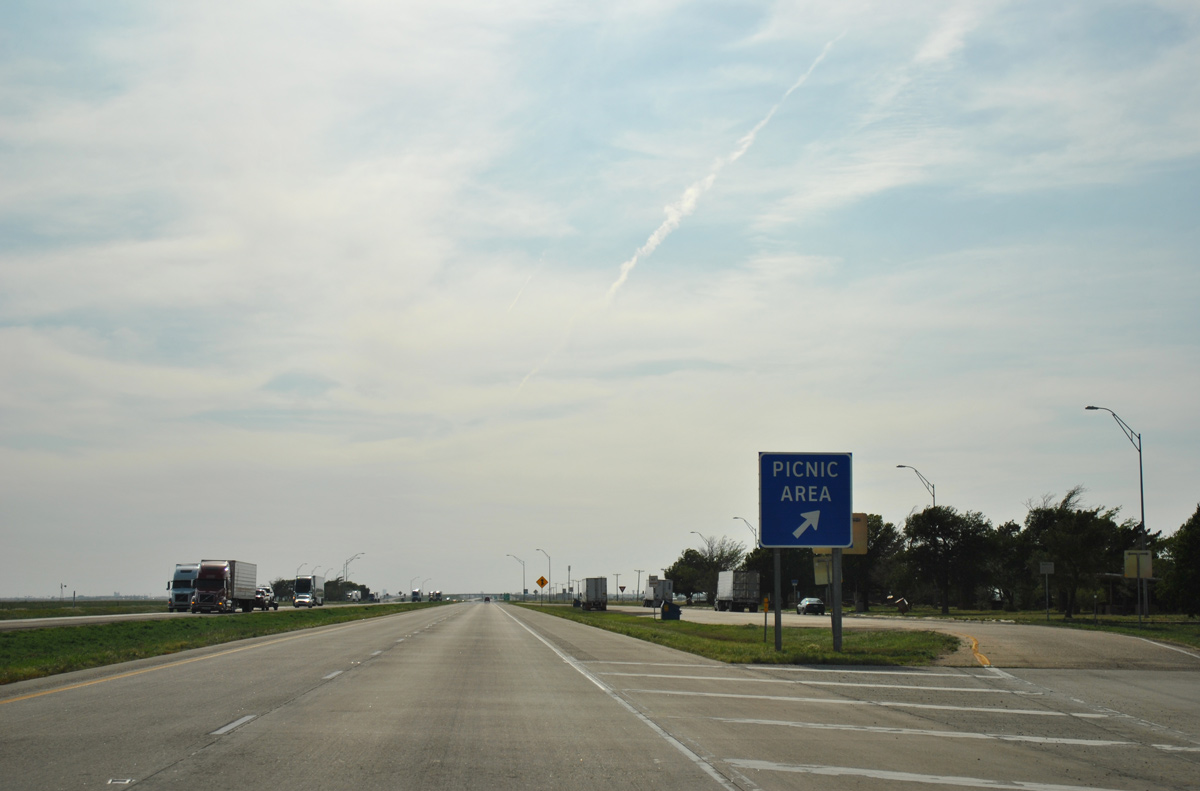
Picnic areas line both sides of IH 40 to the immediate west of FM 2373 at milepost 87.
05/05/12
Nearing the outskirts of Amarillo on Interstate 40 westbound.
05/05/12
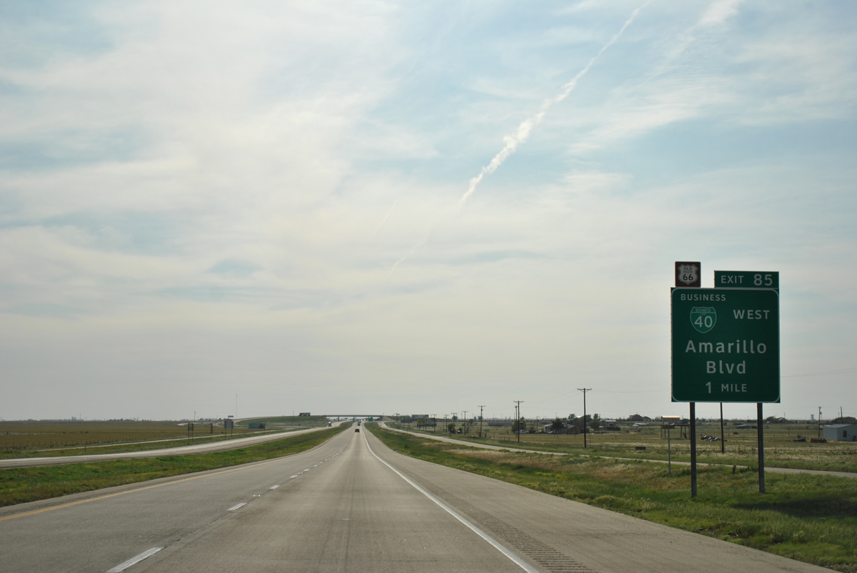
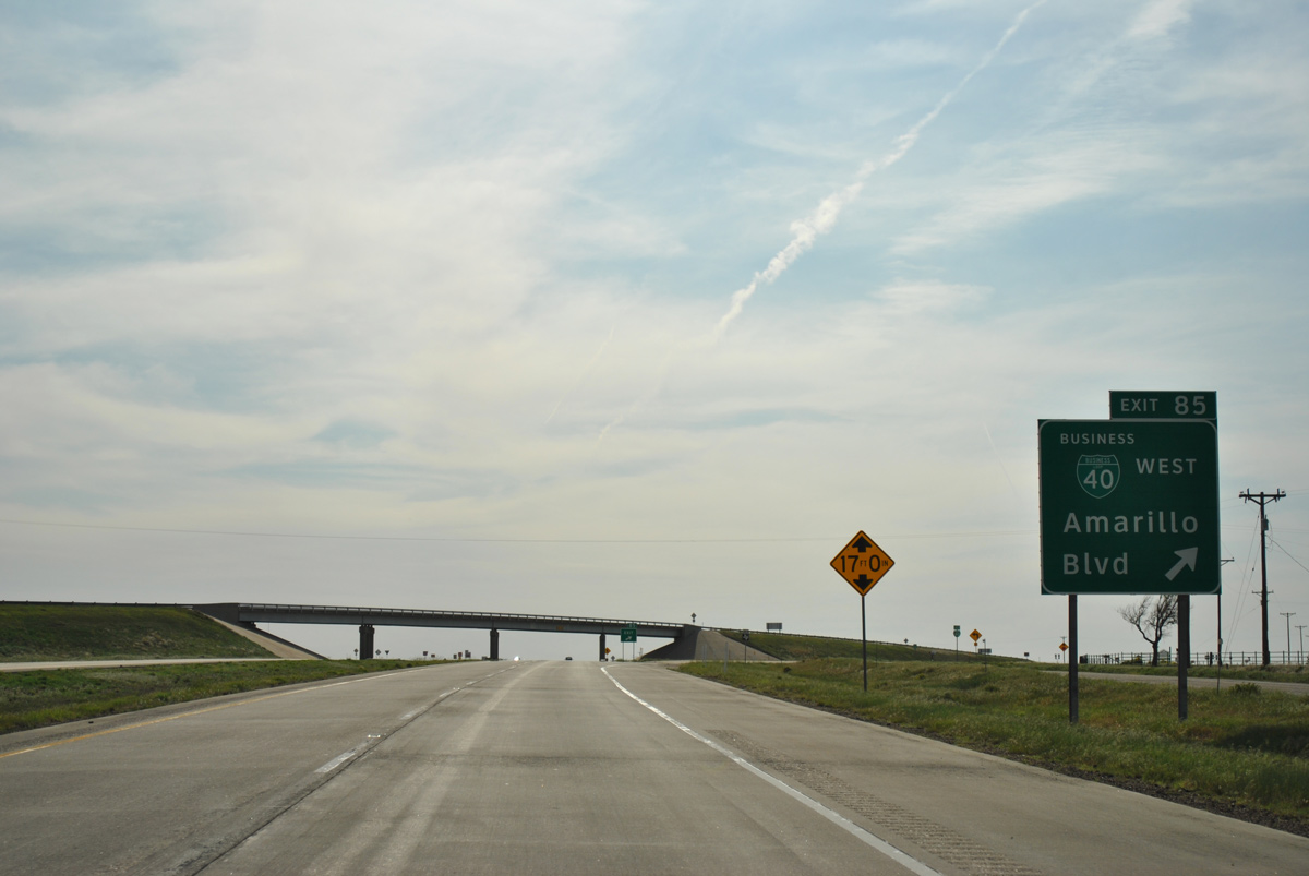
The 1956-70 alignment of Historic U.S. 66 branches northwest from IH 40 alongside Business Loop I-40D, an expressway from Exit 85 to U.S. 60.
05/05/12
Following a 24.4 mile route, Business Loop I-40D (Amarillo Boulevard) overlays U.S. 60 west to the couplet of Pierce and Buchanan Streets north of Downtown Amarillo. The route continues west along the 1953-alignment of U.S. 66 to SW 9th Avenue, and southwest from there back to IH 40 at Exit 62.
05/05/12
The pre-1956 alignment of Historic U.S. 66 remained due west along what is now FM 2575 and 8th Avenue. FM 2575 emerges from the north side frontage road where IH 40 shifts southwest after milepost 85.
05/05/12
IH 40 shifts southwest again ahead of the merge with U.S. 287 ahead near milepost 78. The two routes overlap west to IH 27, south of Downtown Amarillo (14 miles). Drivers heading west to Albuquerque crack the 300 mile mark.
05/05/12
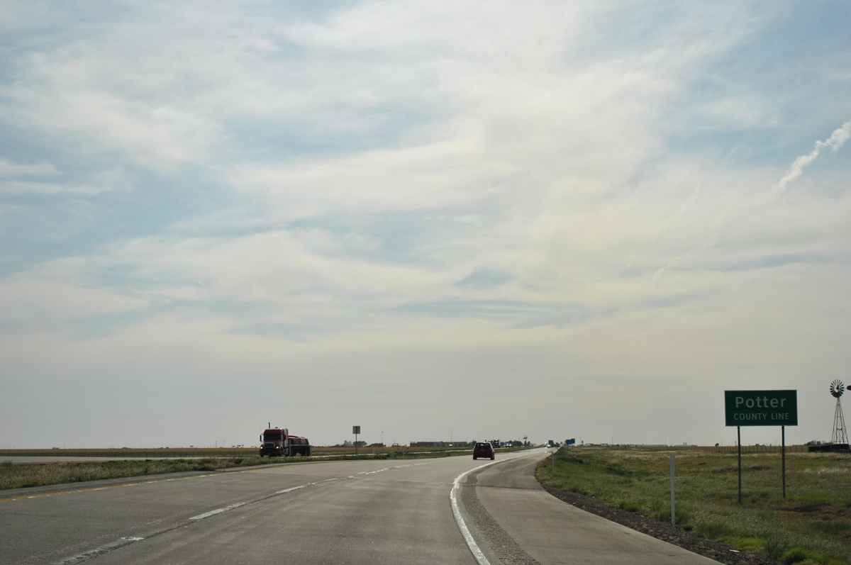
Amarillo spreads across both southern Potter County and north Randall County. Interstate 40 commences a 20.12 mile route across Potter County in this scene.
05/05/12
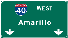

Photo Credits:
- ABRoads: 05/05/12
Page Updated Monday April 03, 2017.