
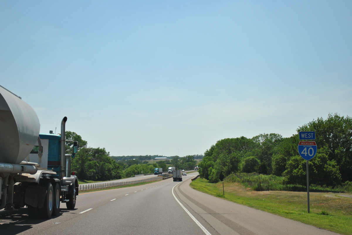
Interstate 40 West - Weatherford to Canute
 West
West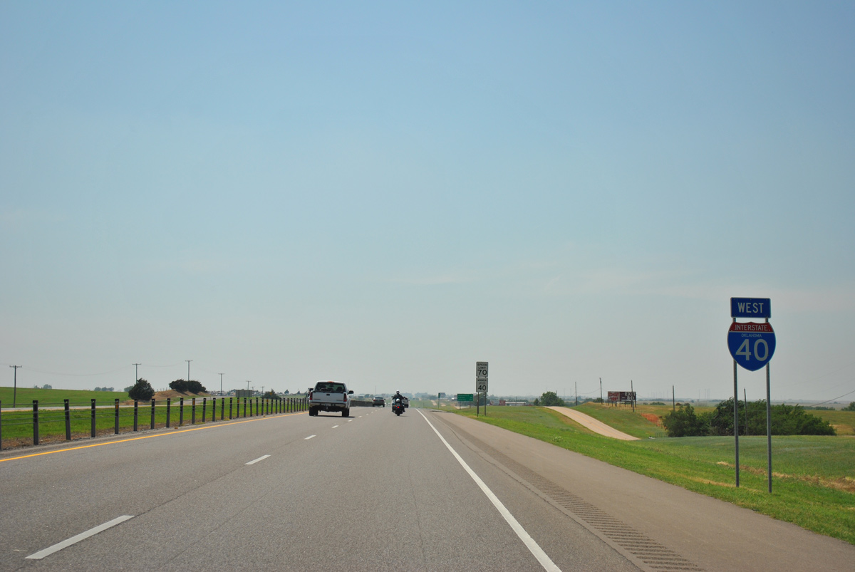
05/05/12

05/05/12
Interstate 40 crosses the Custer County line 1.01 miles ahead of the Weatherford city limits at Little Deep Creek.
05/05/12
05/05/12
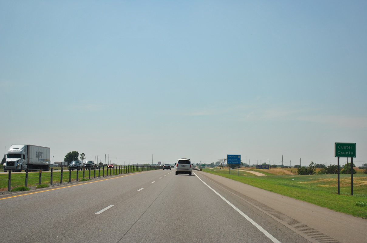
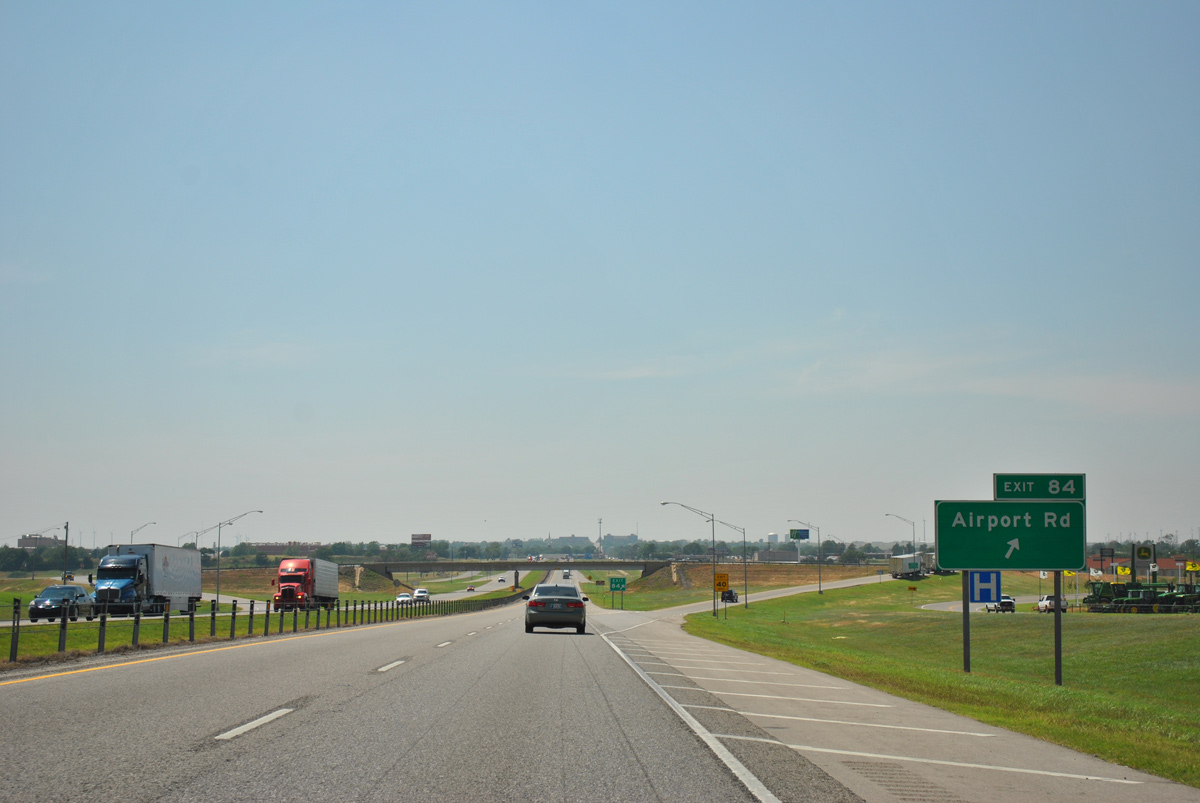
Interstate 40 enters the industrial area side of Weatherford ahead of the diamond interchange (Exit 84) with Airport Road.
05/05/12
05/05/12
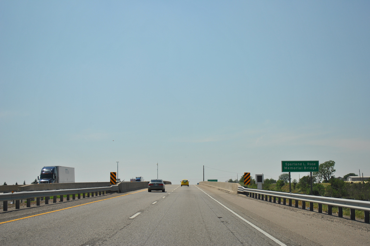
I-40 spans Little Deep Creek over the Sparland L. Rose Memorial Bridge.
05/05/12
05/05/12
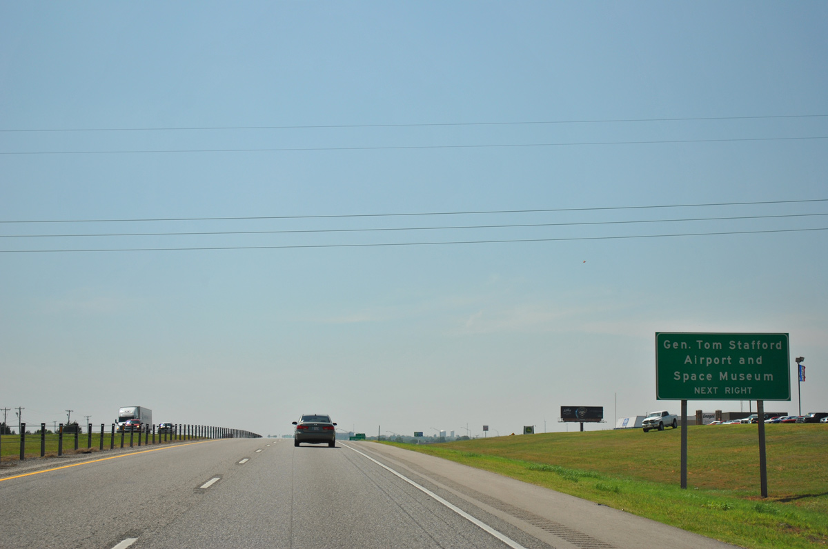
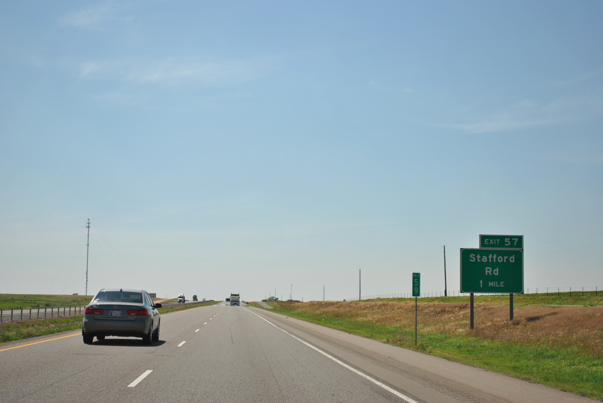
Thomas P. Stafford Airport (OJA) lies northwest of Exit 84 via Historic U.S. 66 and Jim Cobb Drive
05/05/12
05/05/12
05/05/12
05/05/12
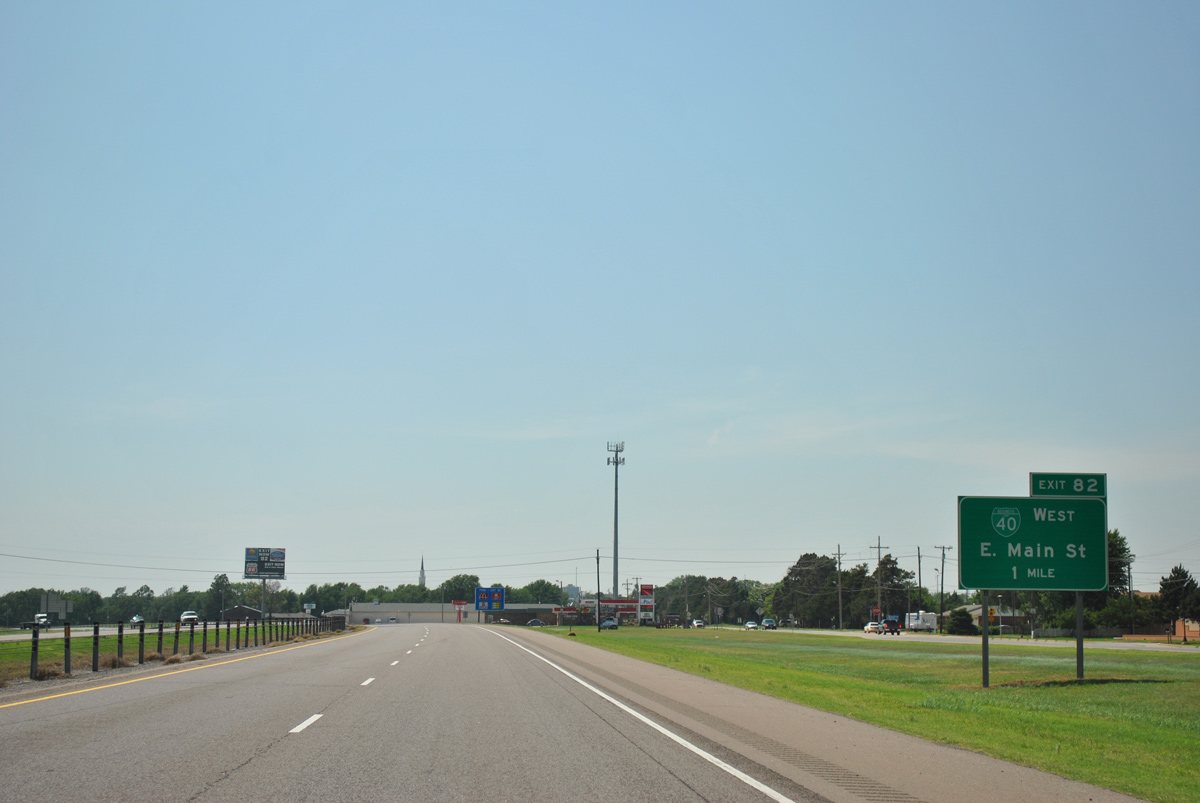
Curving southwest along E Main Street (Historic U.S. 66) Interstate 40 advances toward the Weatherford city center. Decommissioned by 2016, Business Loop I-40 formerly connected the freeway with Downtown between Exits 82 and 80 A.
05/05/12
05/05/12
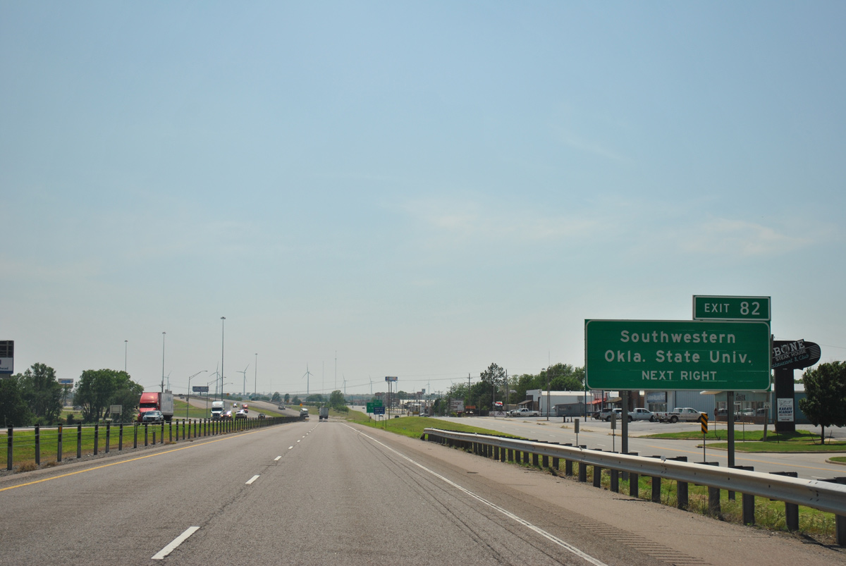
Southwestern Oklahoma State University (SWOSU) is located north of Downtown Weatherford along Davis Avenue.
05/05/12
05/05/12
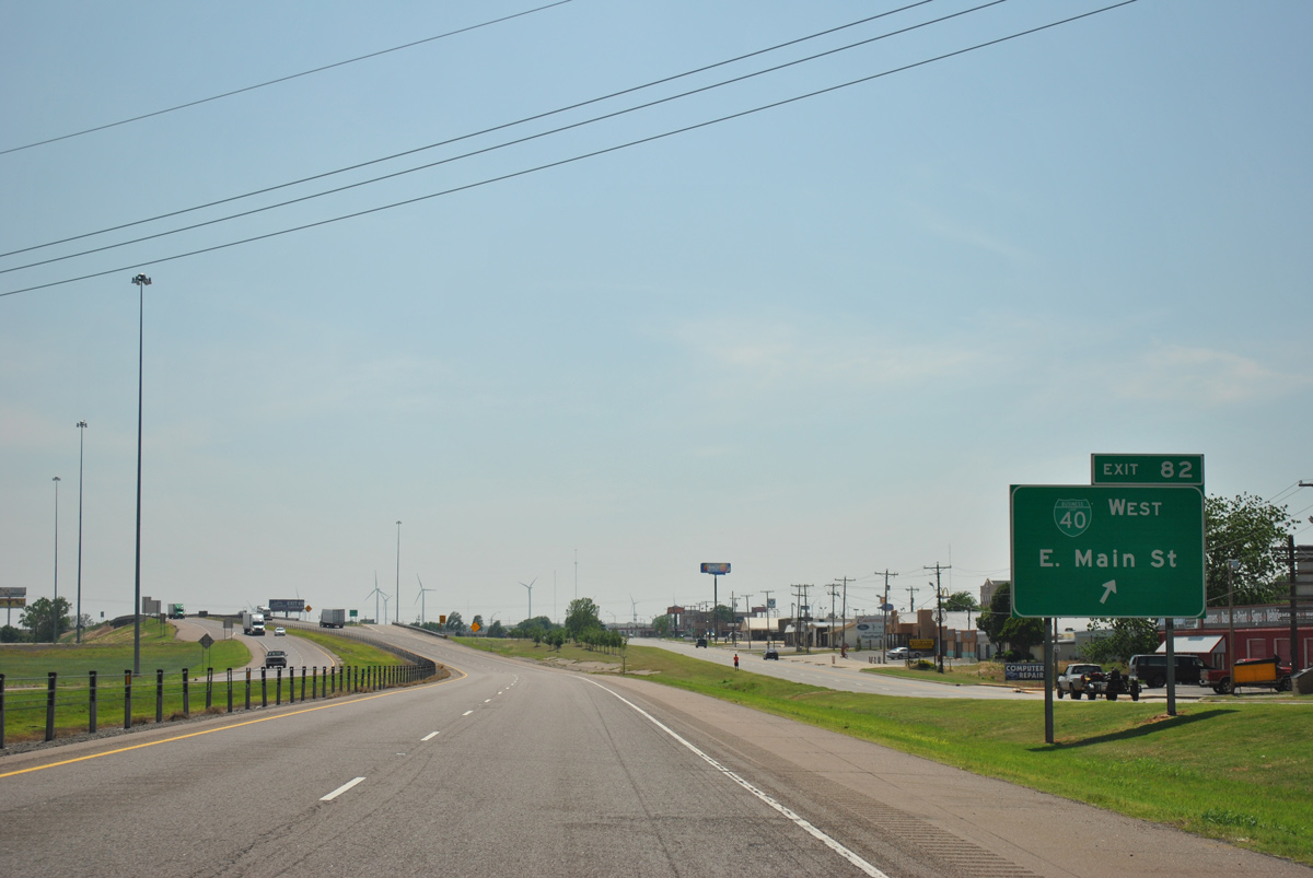
Construction completed by 2018 revised the trumpet interchange at Exit 82 by eliminating the loop ramp from I-40 east to former Business Loop I-40 (E Main Street) west.
05/05/12
05/05/12
05/05/12
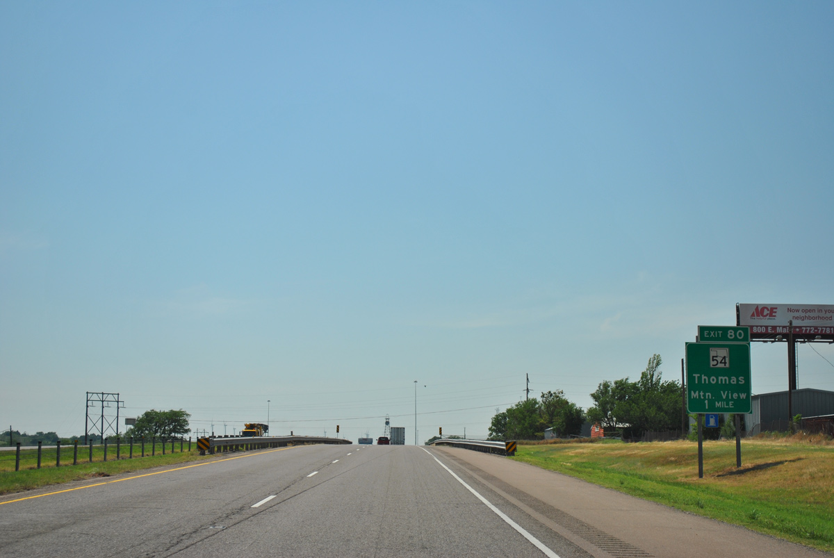
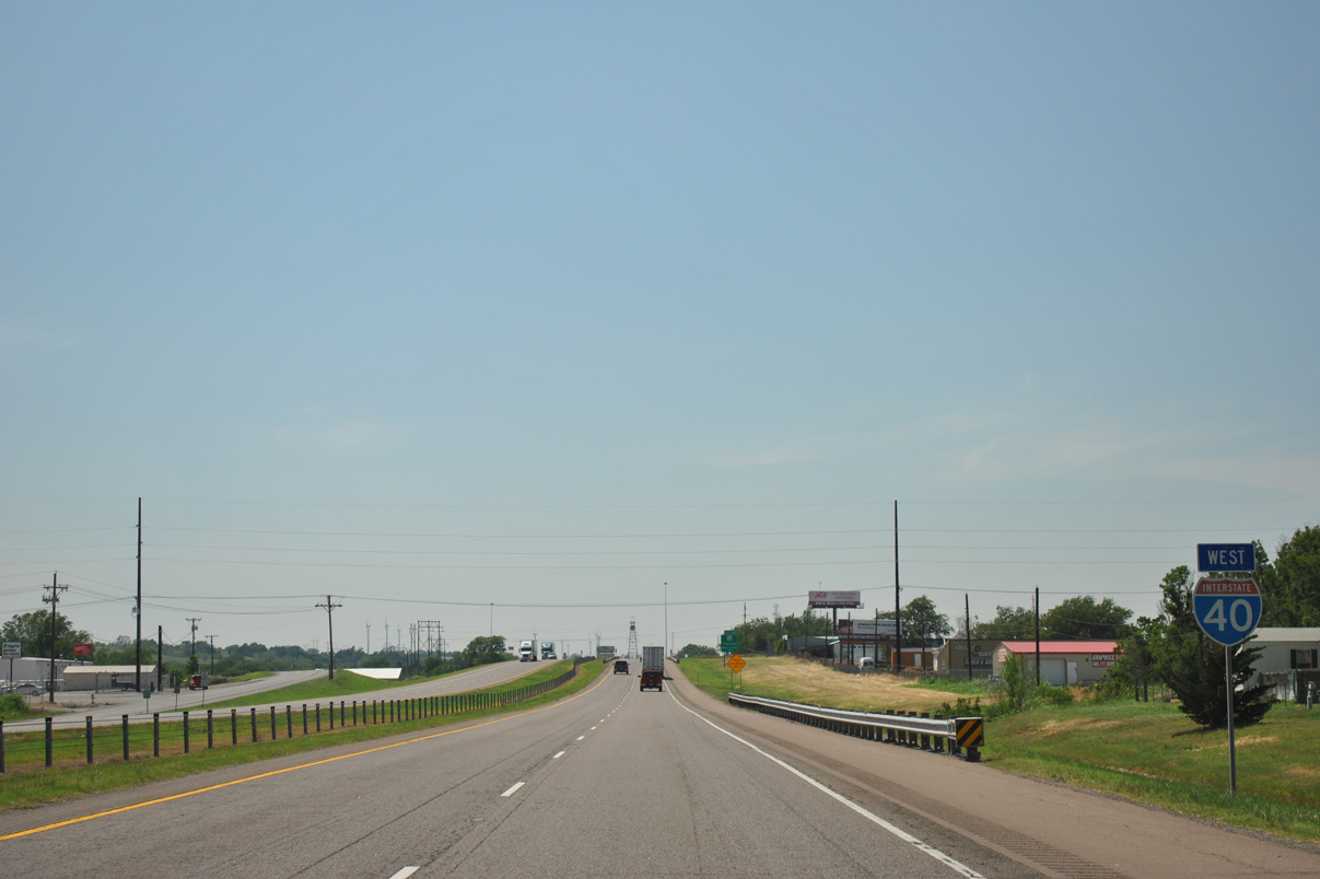
SH 54 runs along the west side of Weatherford to a diamond interchange (Exit 80) south of Historic U.S. 66.
05/05/12
05/05/12

The town of Mountain View is 31 miles to the south via SH 54, SH 152 and SH 115. The city of Thomas is 17 miles to the north via SH 54 and SH 33.
05/05/12
05/05/12
05/05/12
05/05/12

05/05/12
05/05/12
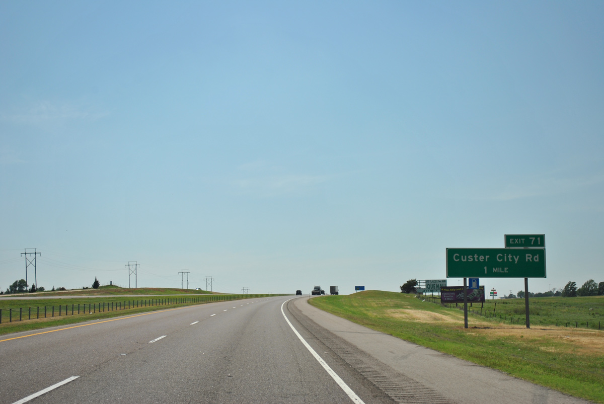
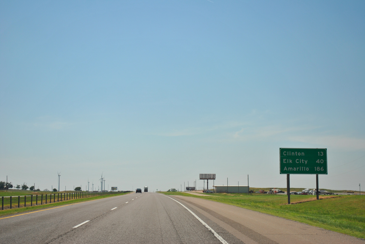
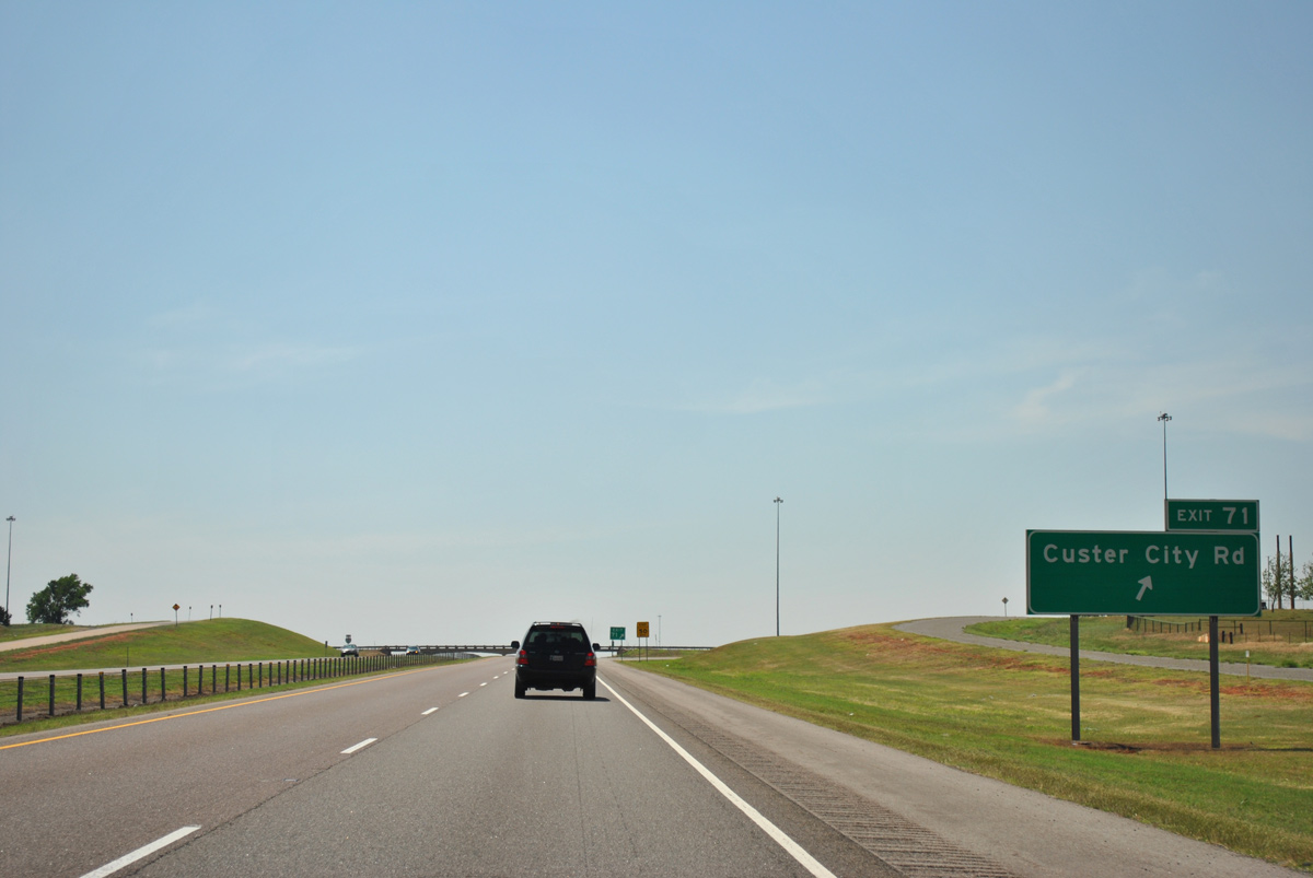
Exit 71 links Interstate 40 with Custer City Road at the eastern extent of the Clinton city limits.
05/05/12
05/05/12
05/05/12
05/05/12
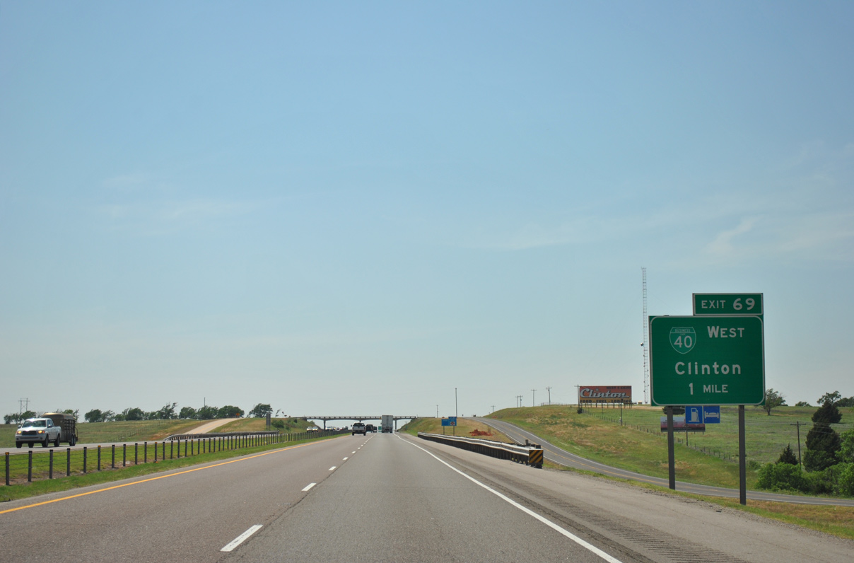
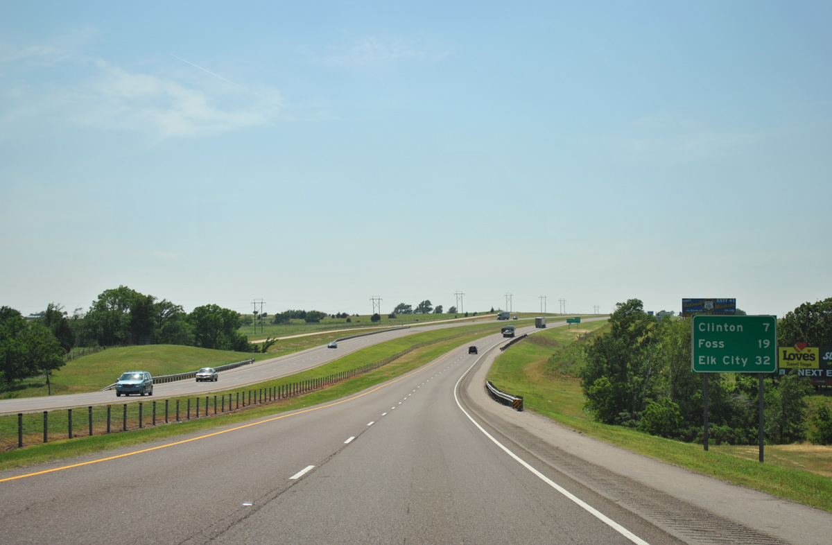
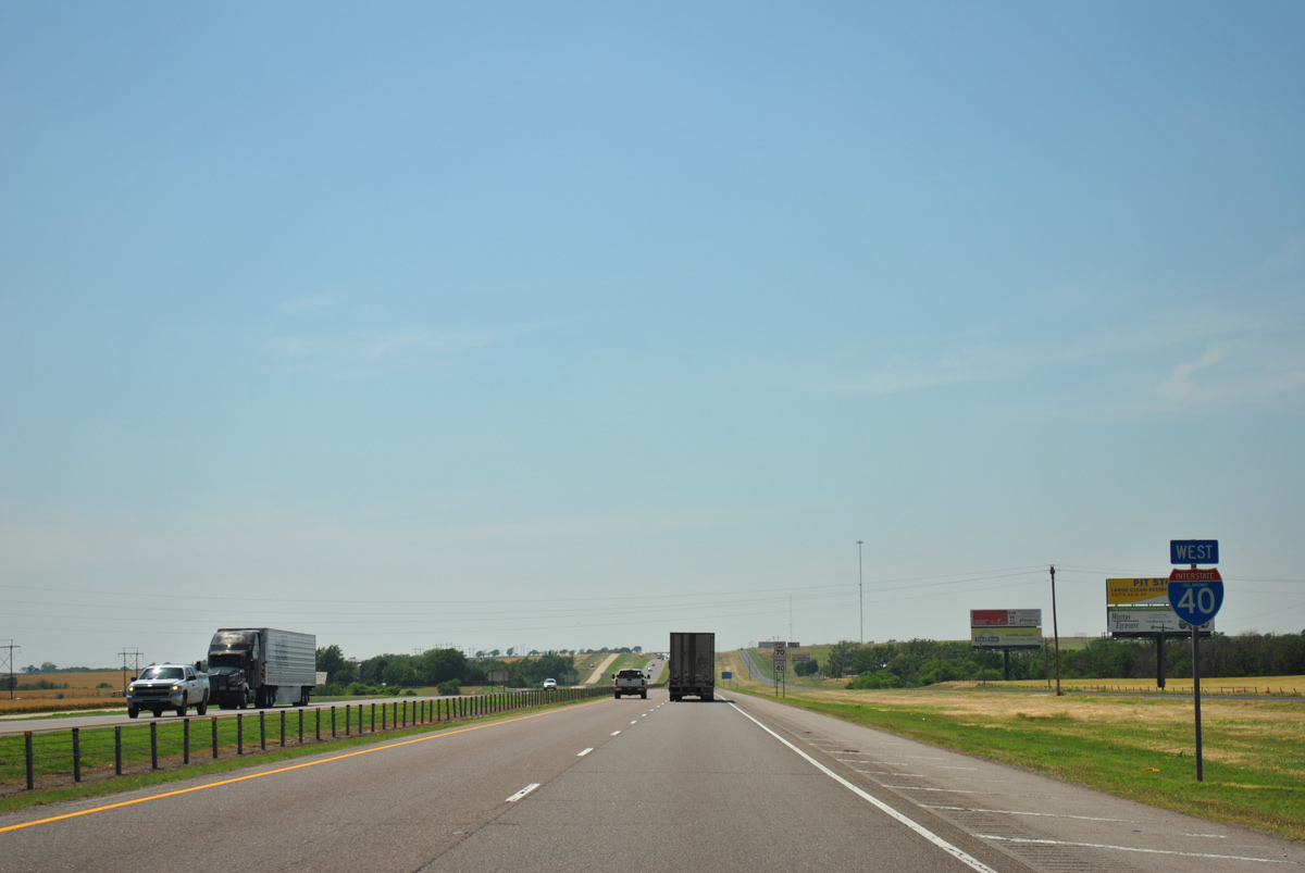
The succeeding four exits join Interstate 40 west with the city of Clinton.
05/05/12
05/05/12
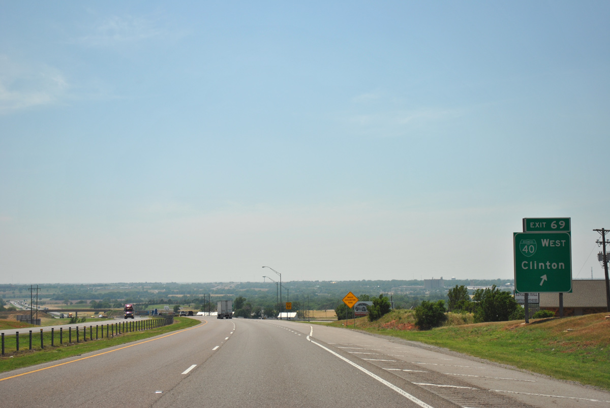
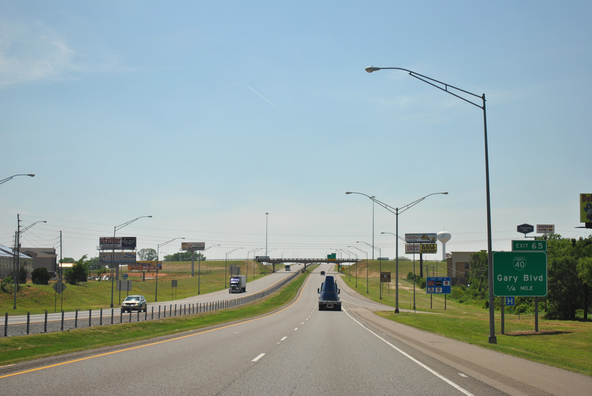
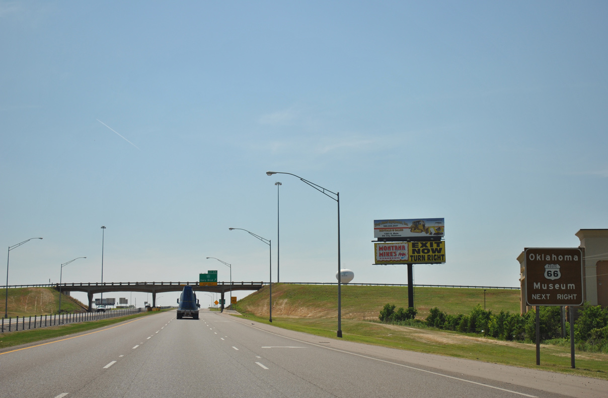
Following Historic U.S. 66, Business Loop I-40 runs 4.89 miles from the wye interchange at Exit 69 to Exit 65 via W Gary Boulevard.
05/05/12
05/05/12
05/05/12
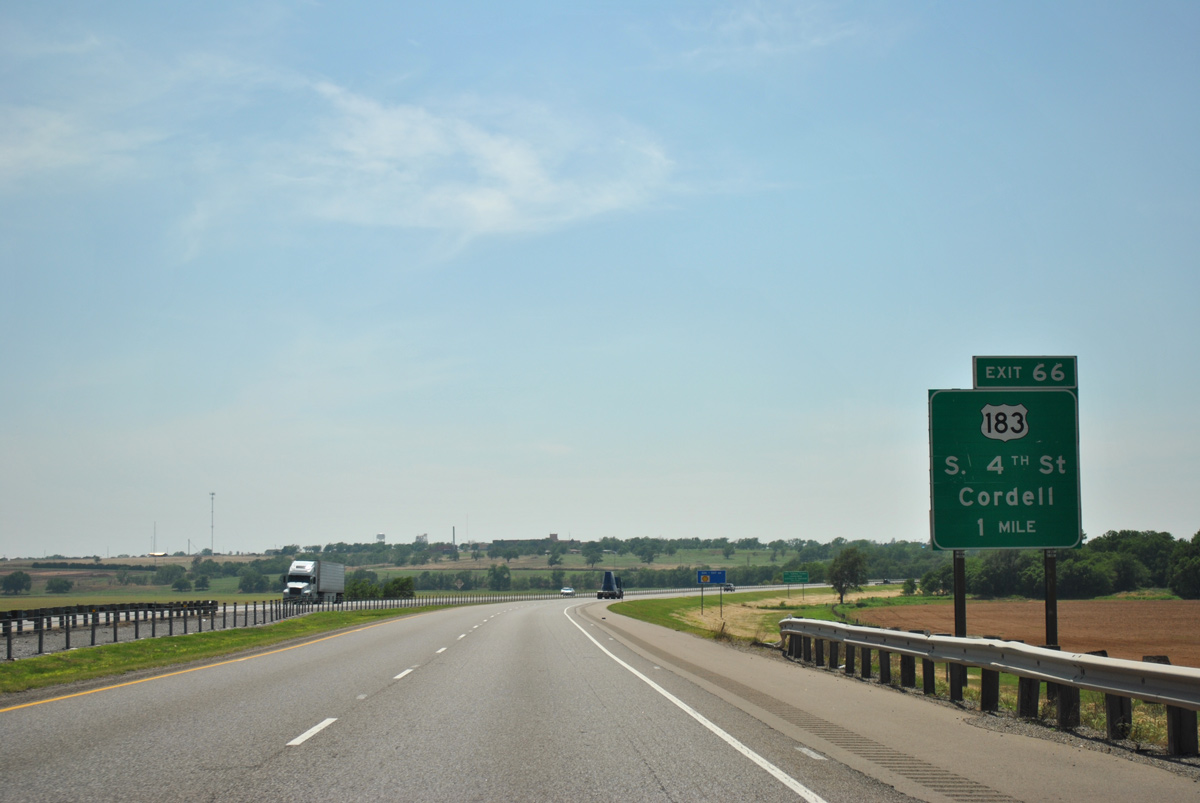
U.S. 183 lines 4th Street north from Exit 66 into Downtown Clinton.
05/05/12
05/05/12
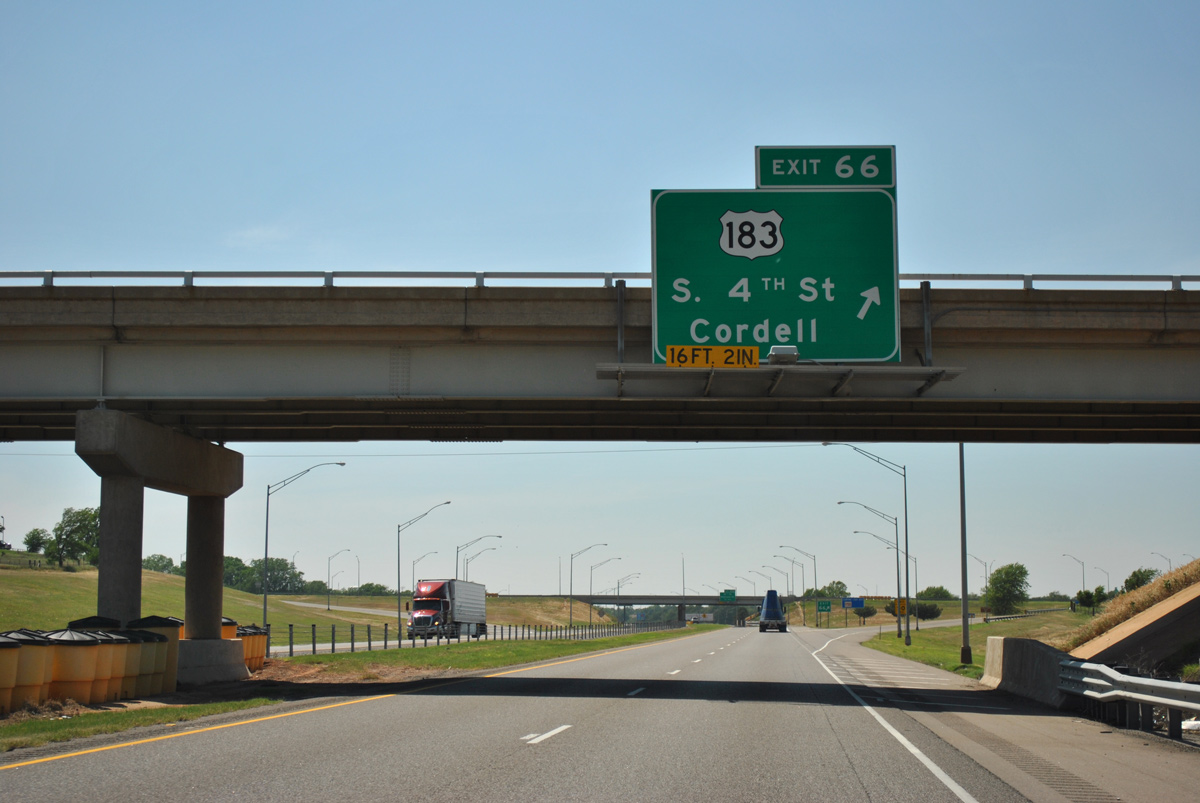
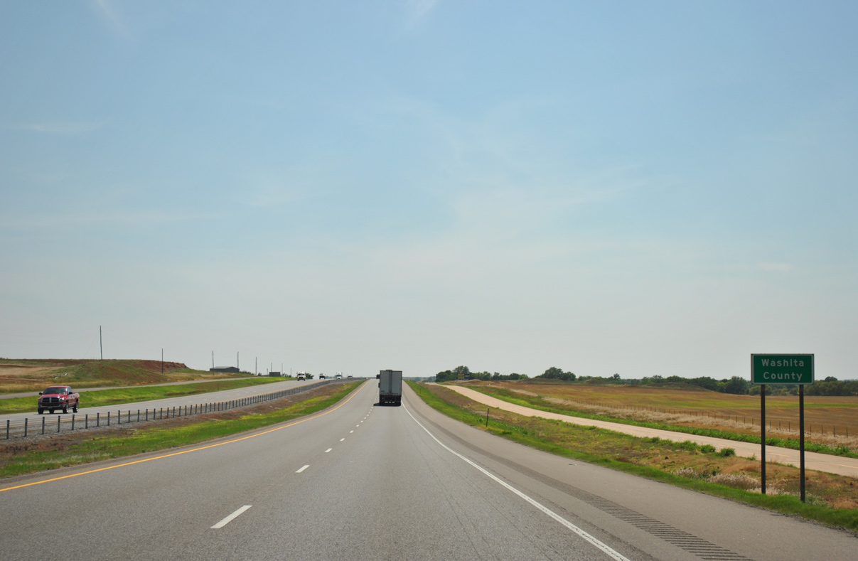
U.S. 183 travels 13.4 miles south from the diamond interchange at Exit 66 to the Washita County seat of New Cordell.
05/05/12
05/05/12
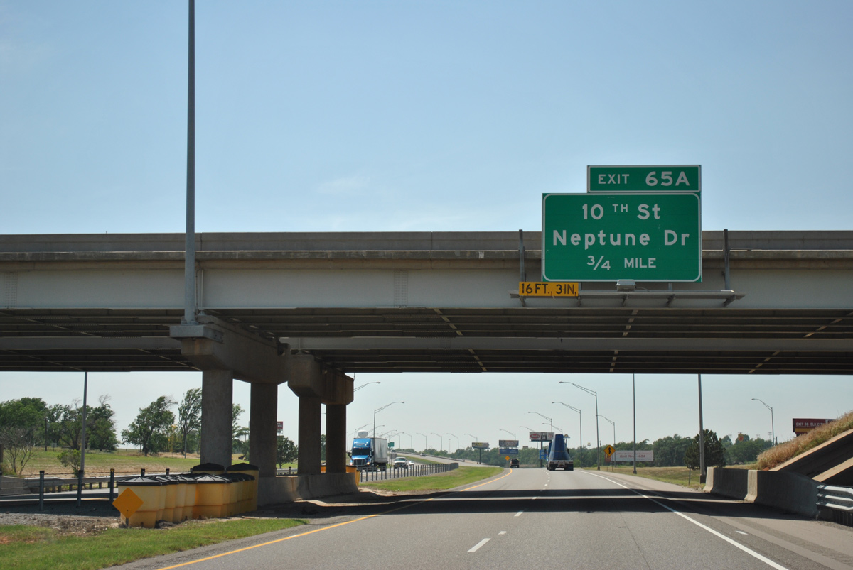
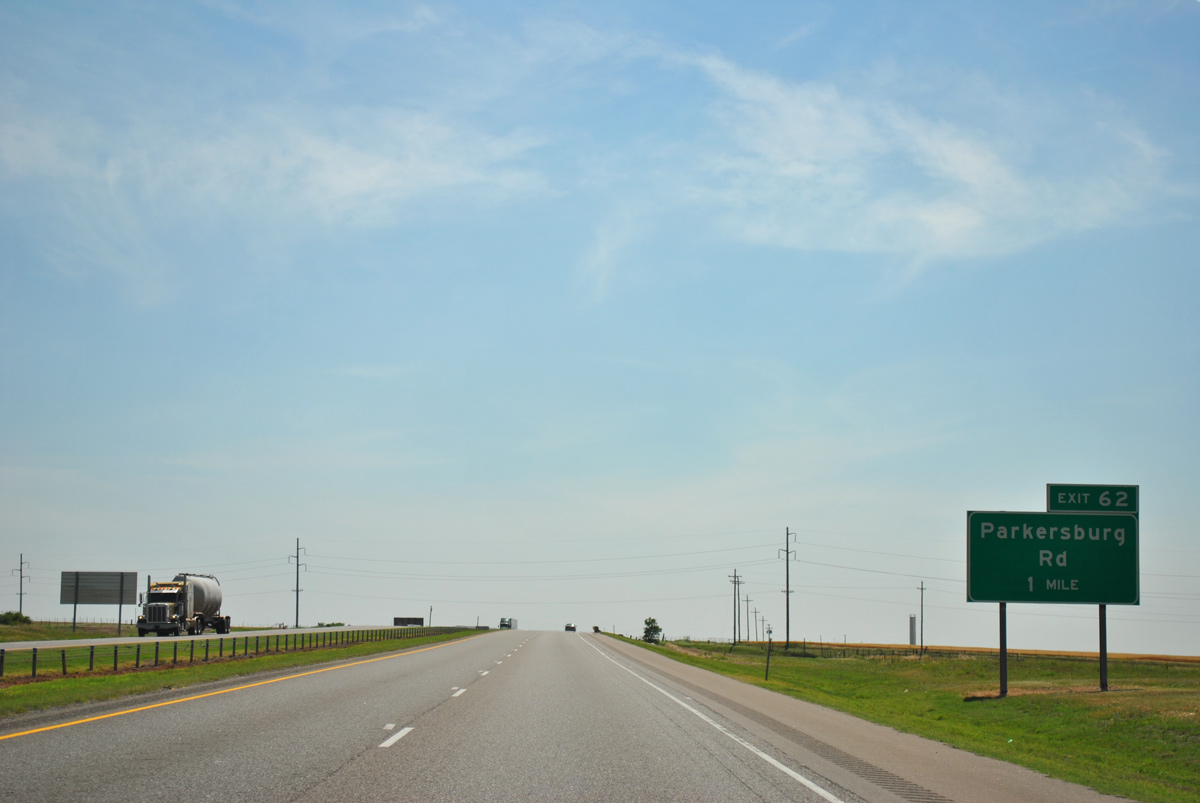
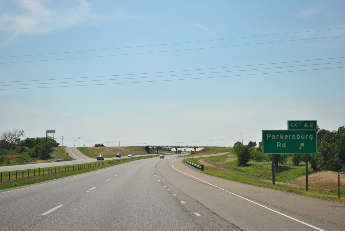
Paralleling the Grainbelt Railroad, S 10th Street becomes Neptune Drive at the ensuing exit from Interstate 40 west.
05/05/12
05/05/12
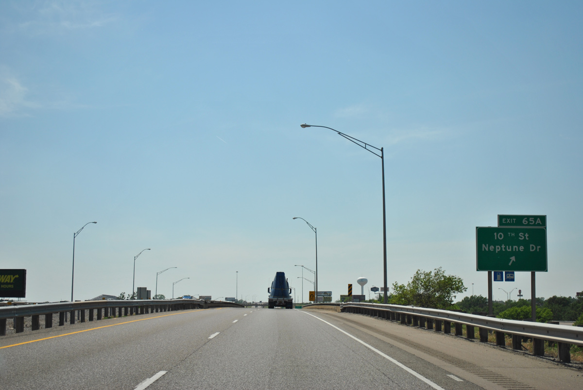
Entering the folded diamond interchange (Exit 65 A) with Neptune Drive south and S 10th Street north on I-40 west.
05/05/12
05/05/12
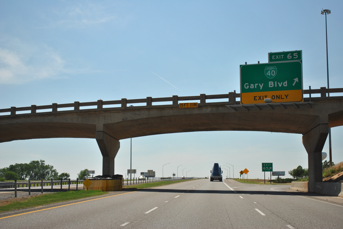
Business Loop I-40 (W Gary Boulevard) concludes 0.91 miles south of SH 73 (W Modelle Avenue).
05/05/12
05/05/12
05/05/12
05/05/12

05/05/12
05/05/12
05/05/12
05/05/12
05/05/12
05/05/12
05/05/12
05/05/12
05/05/12

05/05/12
05/05/12
05/05/12
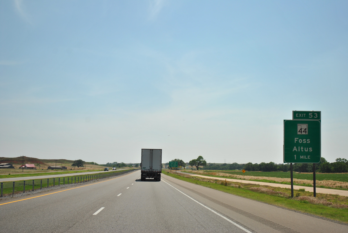
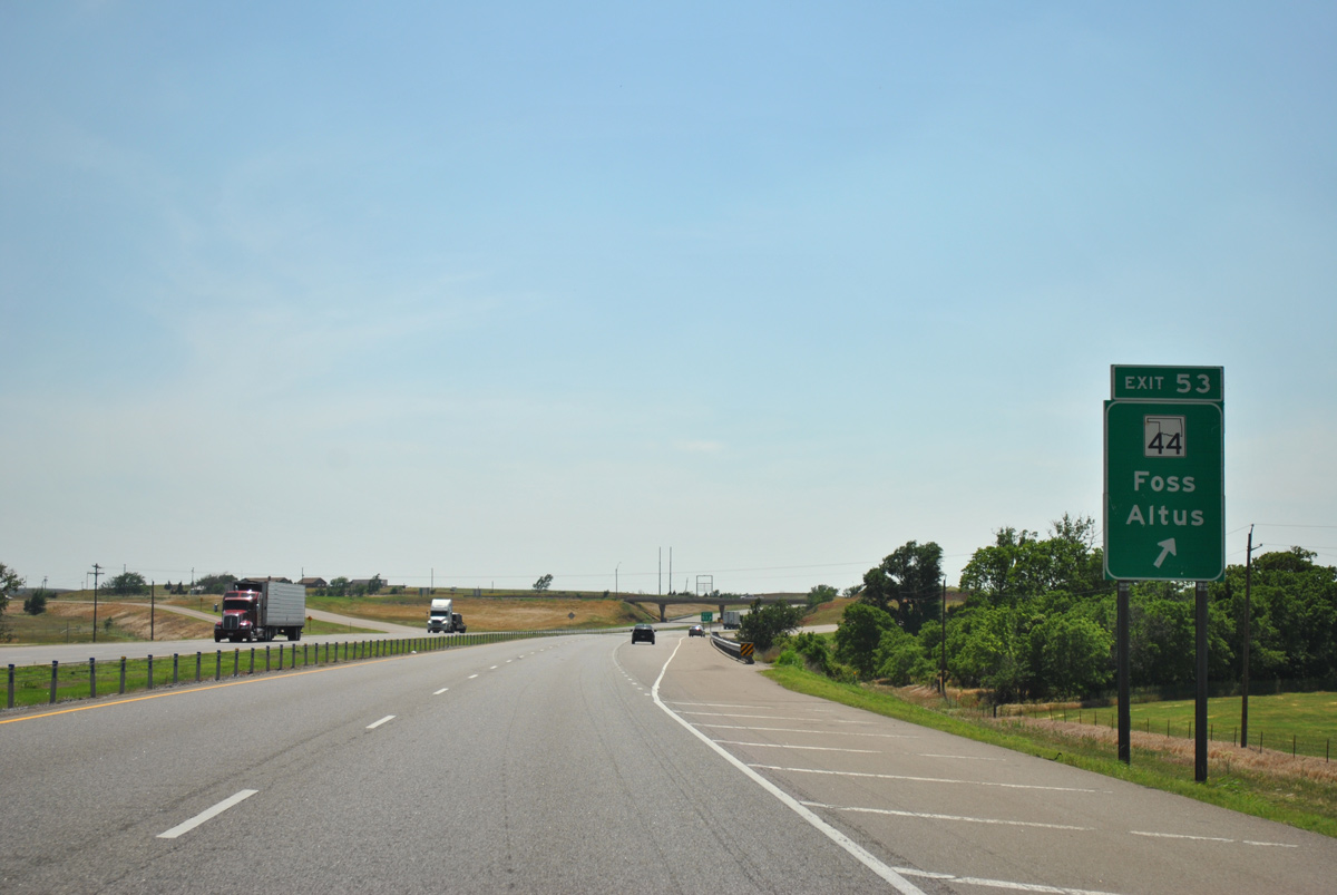
SH 44 crosses paths with Interstate 40 in the rural town of Foss.
05/05/12
05/05/12
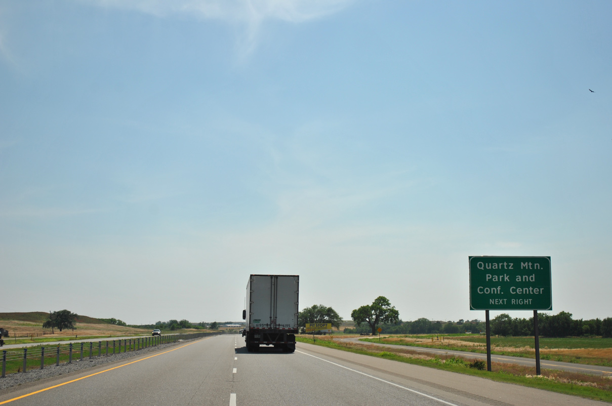
Located along Lake Altus, Quartz Mountain State Park is 45 miles to the south via SH 44 and SH 44A.
05/05/12
05/05/12

05/05/12
05/05/12
05/05/12
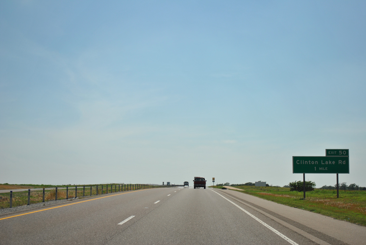
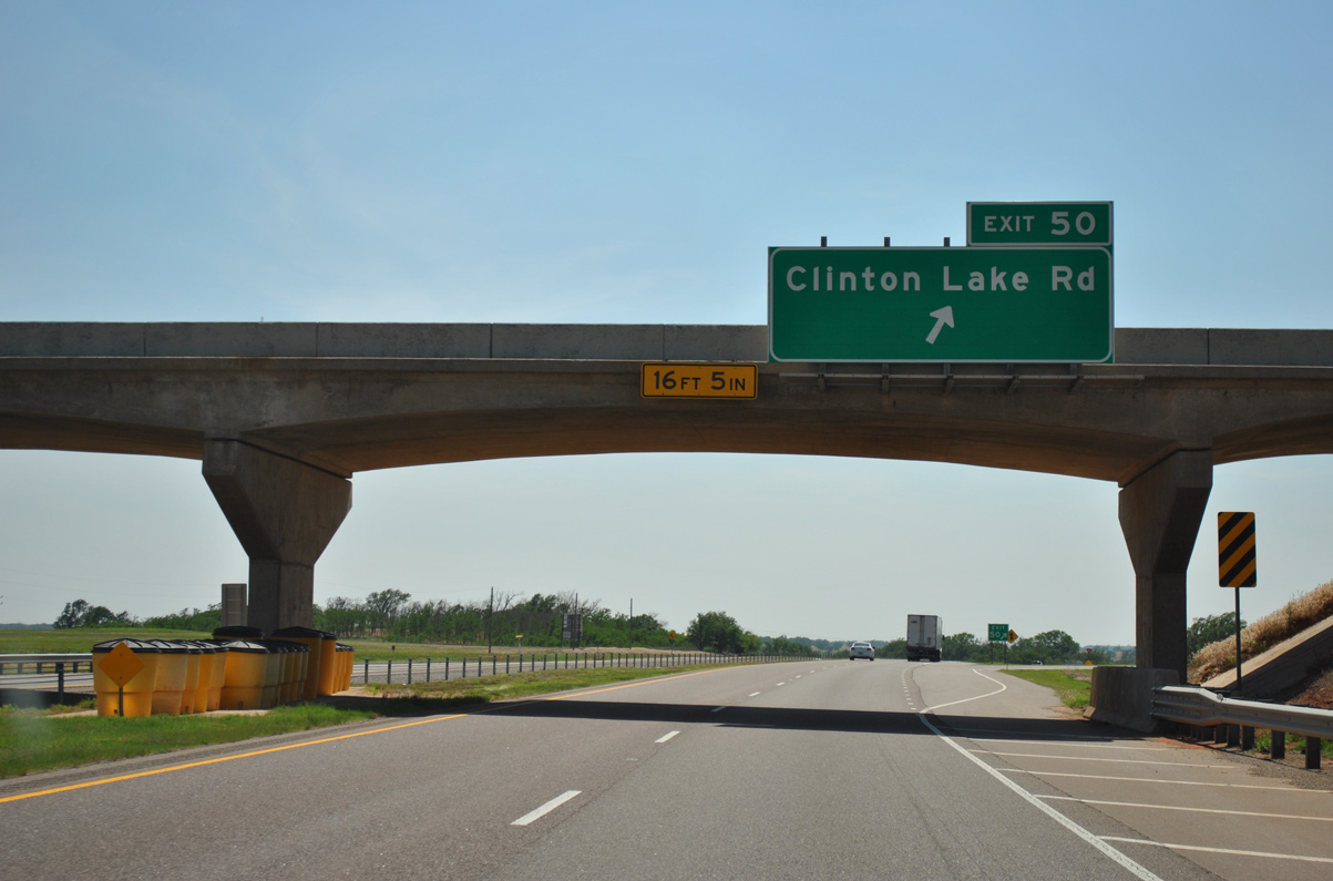
Clinton Lake Road meets Interstate 40 at a parclo B2 interchange (Exit 50) adjacent to Clinton Lake.
05/05/12
05/05/12
05/05/12
05/05/12
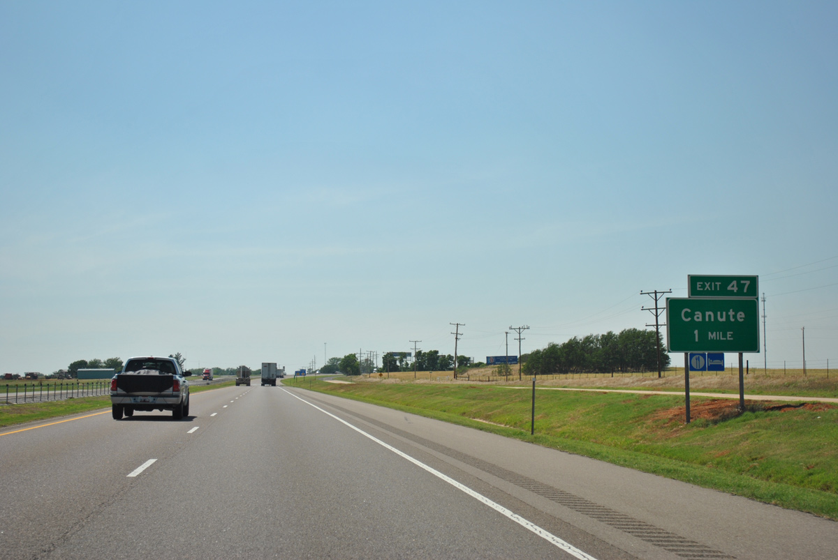
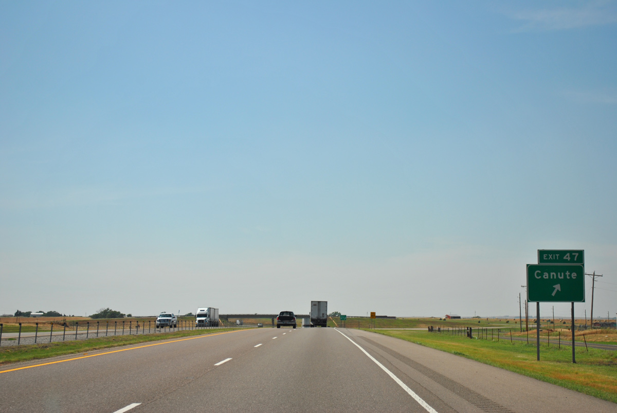
Interstate 40 arcs northward from adjacent Historic U.S. 66 around the town of Canute. The succeeding exit is for County Road N 2080 north of 9th Street.
05/05/12
05/05/12
05/05/12
05/05/12
05/05/12
Photo Credits:
- ABRoads: 05/05/12
Page Updated Tuesday July 12, 2022.