
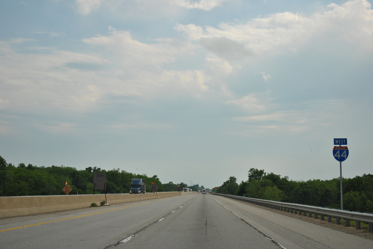
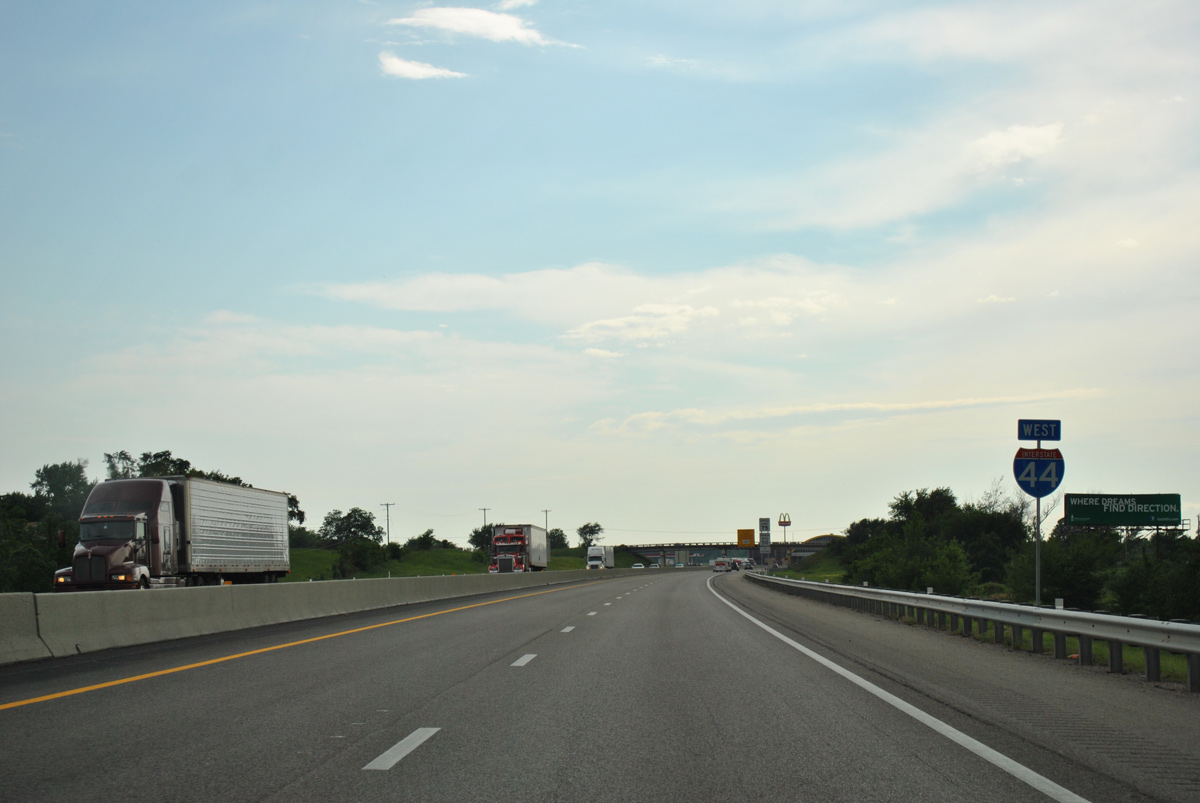
Interstate 44 West - Will Rogers Turnpike
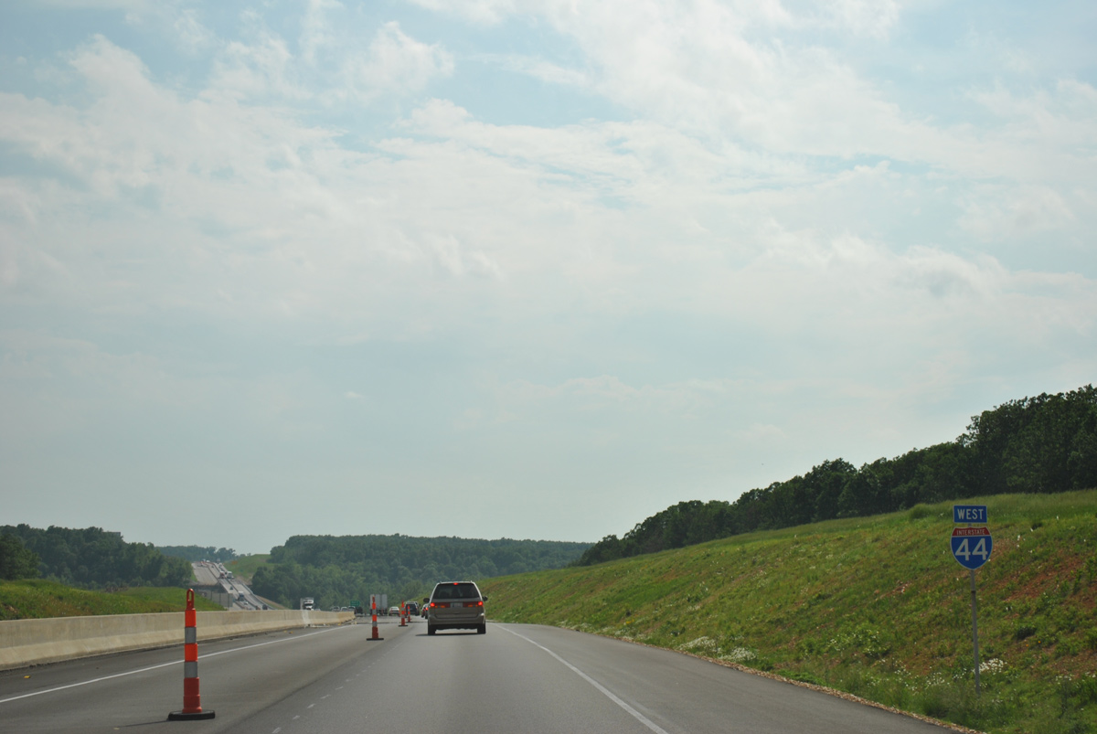
 West
West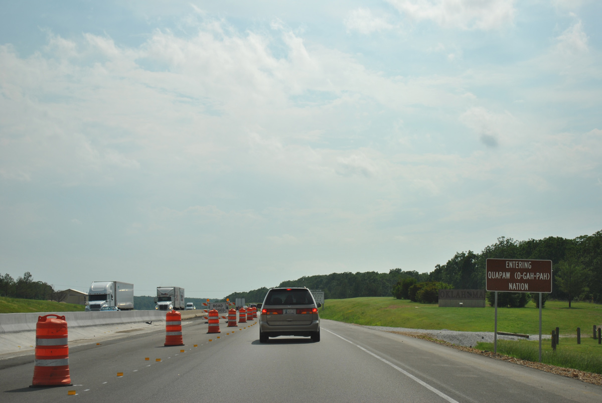
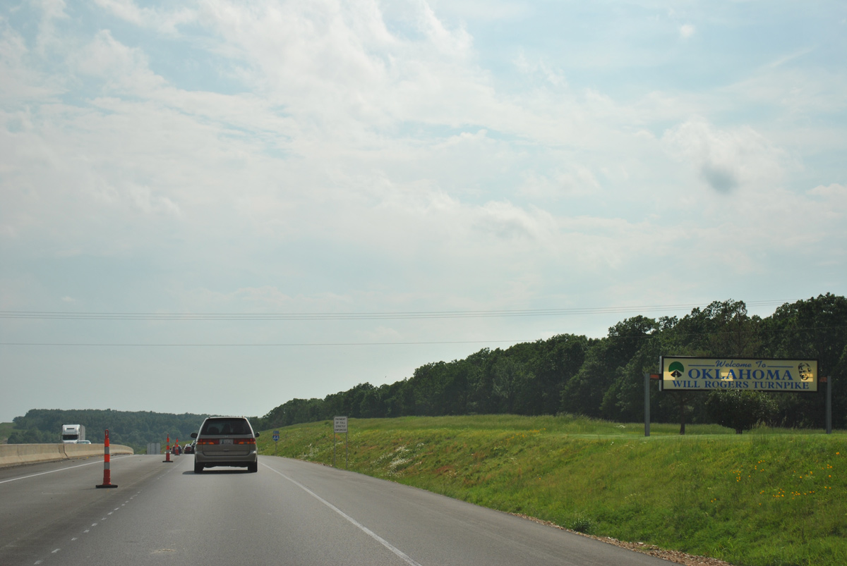
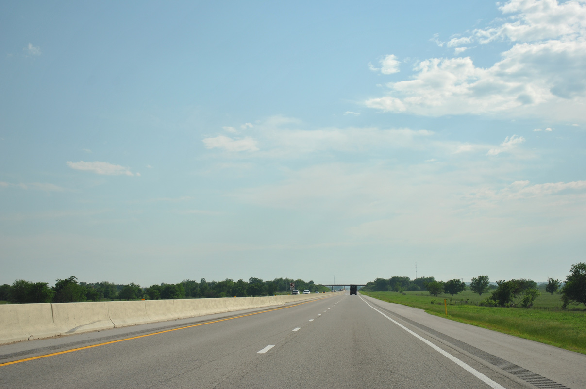
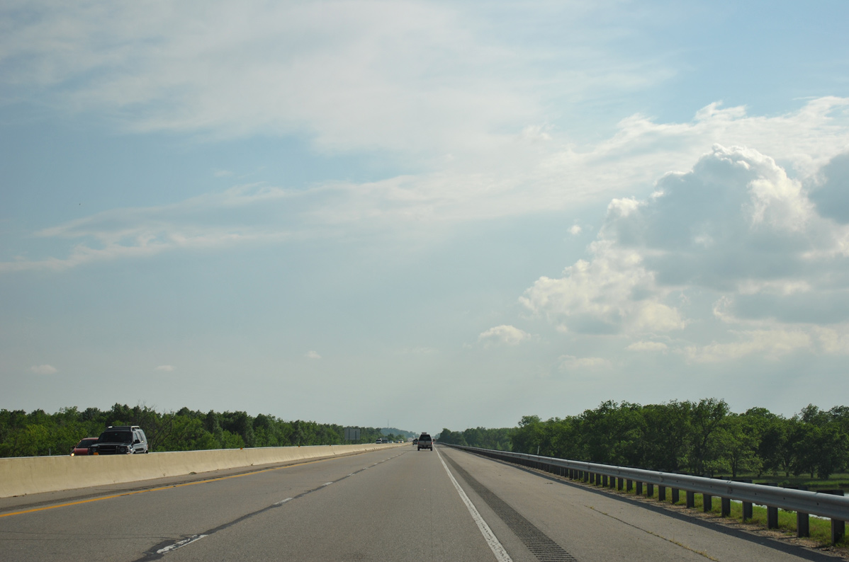
IH 44 (Will Rogers Turnpike) enters the Quapaw Nation in northeastern Oklahoma.
05/04/12
05/04/12
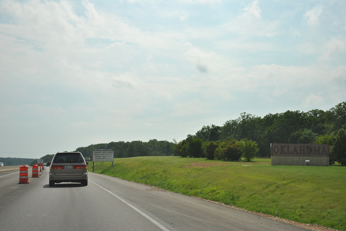
A welcome monument follows along IH 44 (Will Rogers Turnpike) westbound between the Missouri state line and Fivemile Creek.
05/04/12
05/04/12
05/04/12
05/04/12
05/04/12
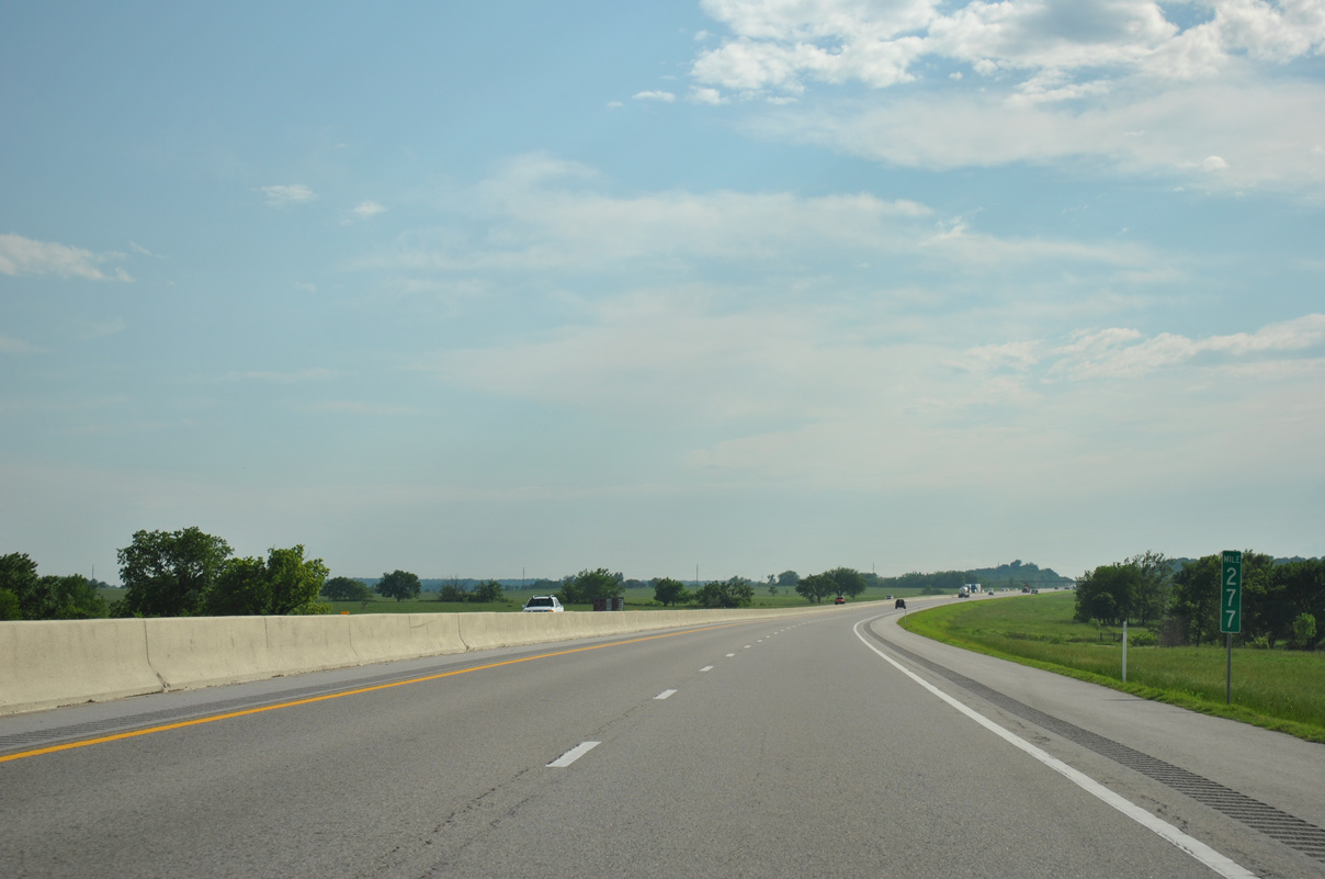
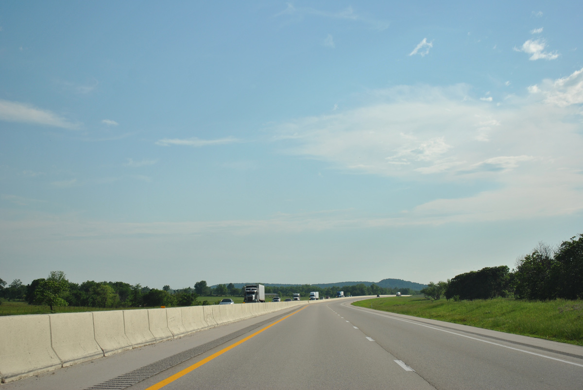
Interstate 44 lowers 130 feet in elevation from around 1,300 feet above sea level at the state line to Fivemile Creek.
05/04/12
05/04/12
05/04/12
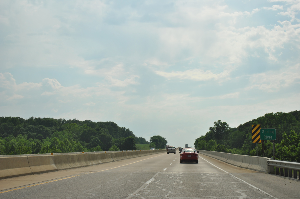
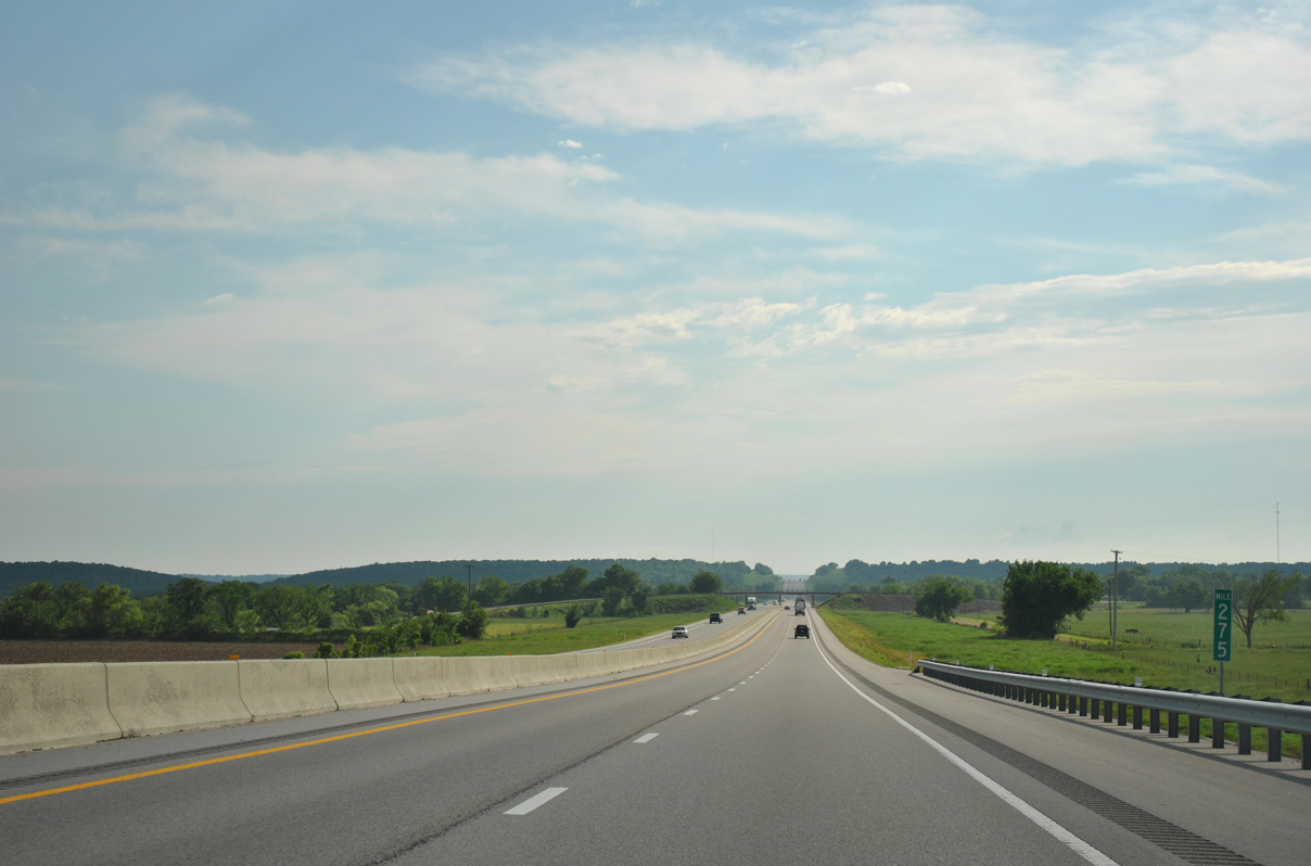
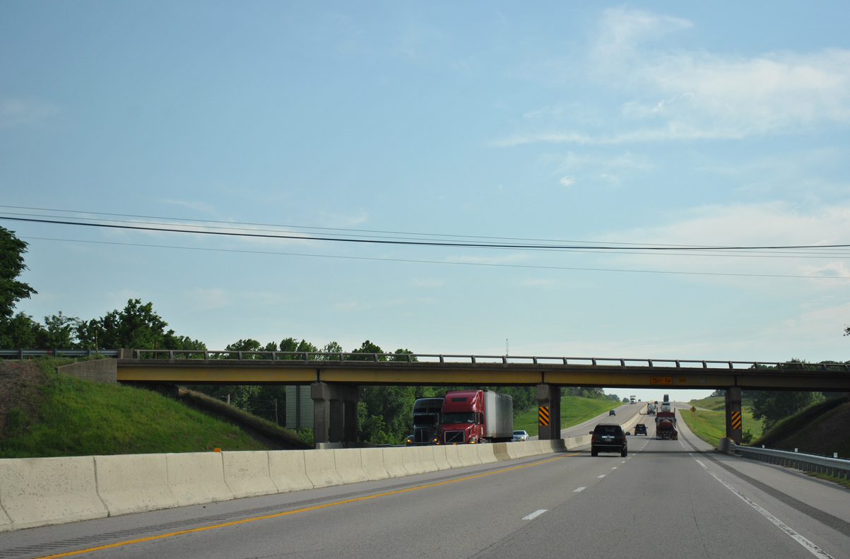
IH 44 (Will Rogers Turnpike) spans the Spring River southeast of the town of Quapaw.
05/04/12
05/04/12
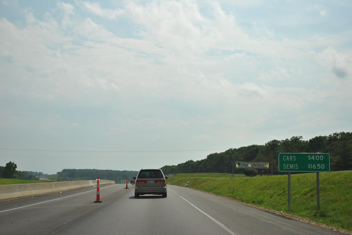
The first exit along the Will Rogers Turnpike is 16.05 miles west into the Sooner State.
05/04/12
05/04/12
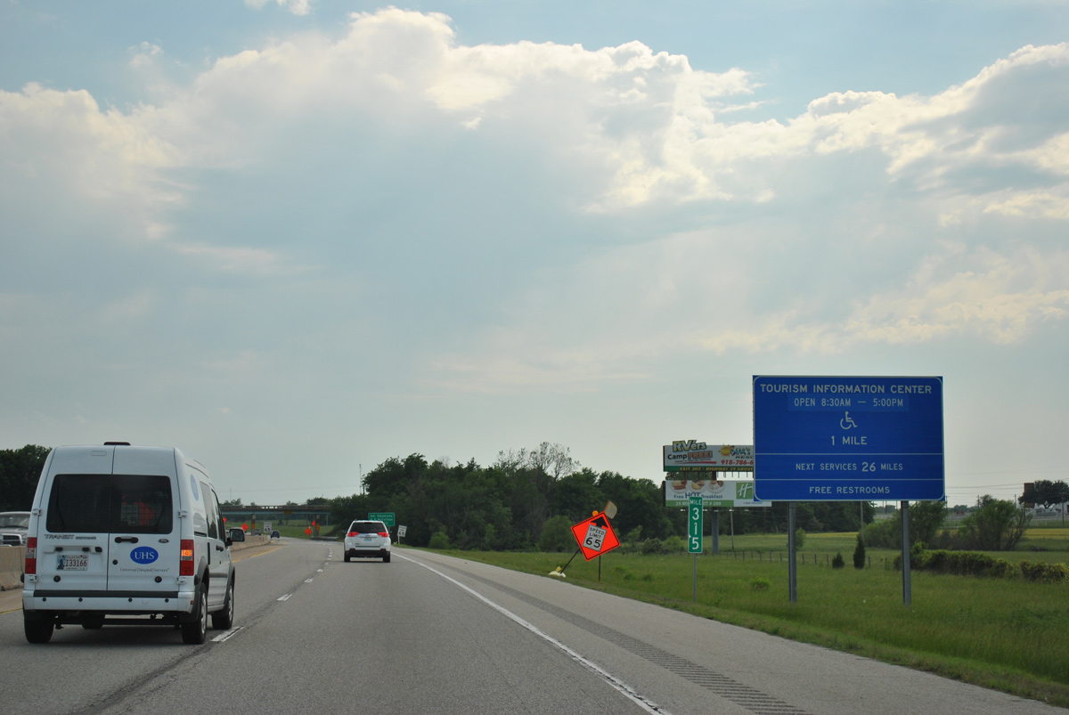
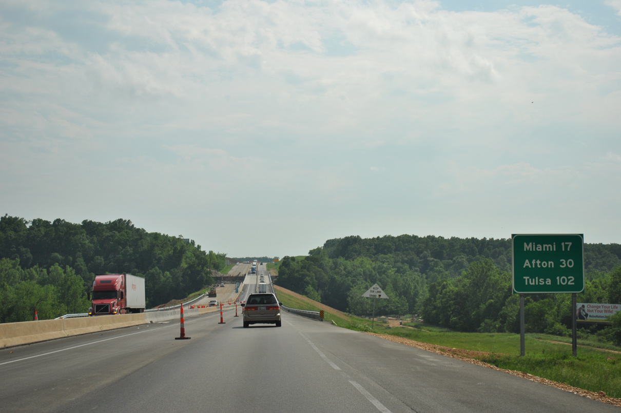
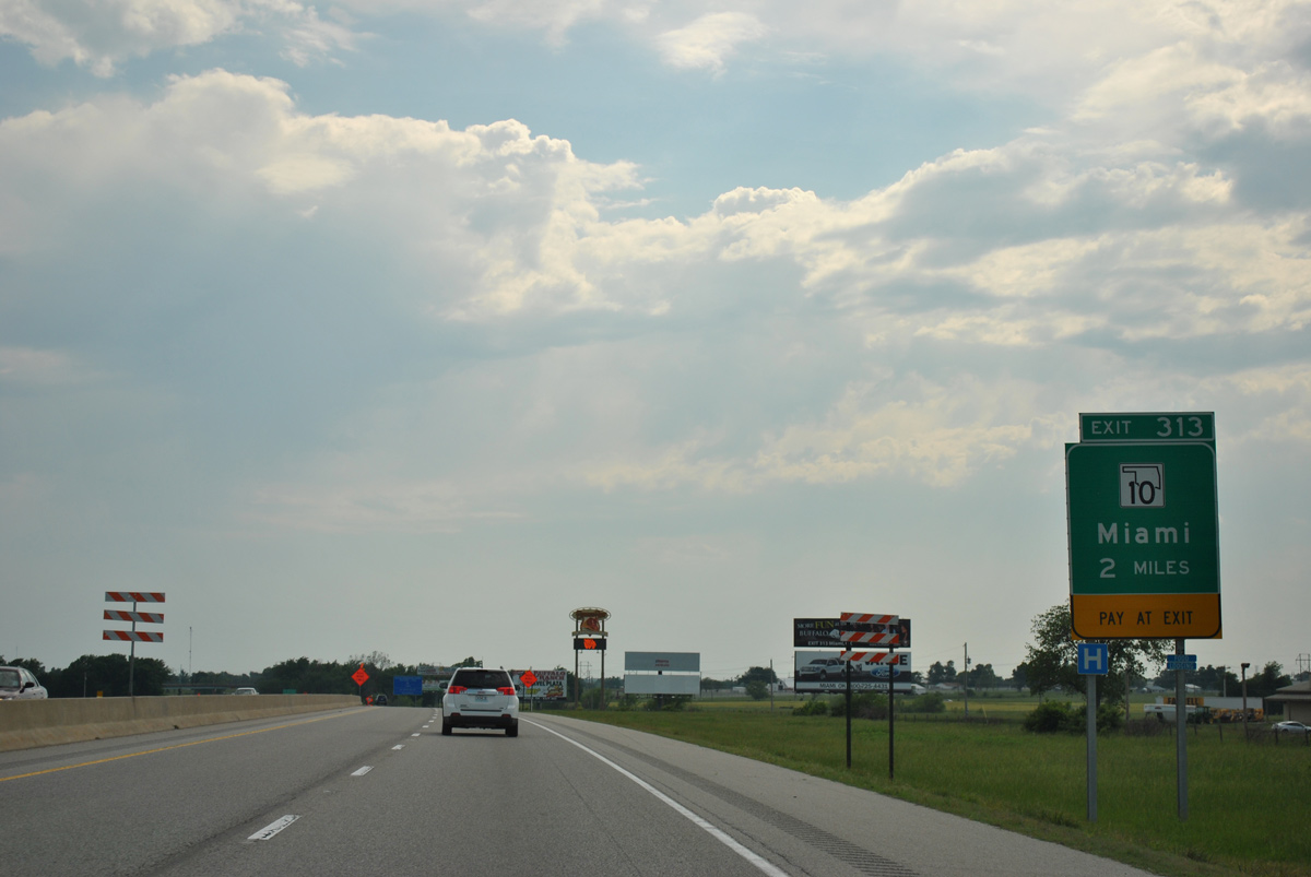
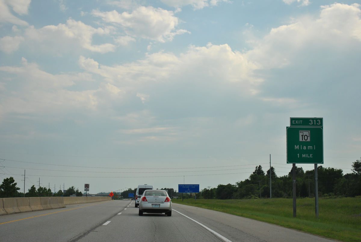
The Oklahoma Welcome Center precedes SH 10 at the city of Miami.
05/04/12
05/04/12
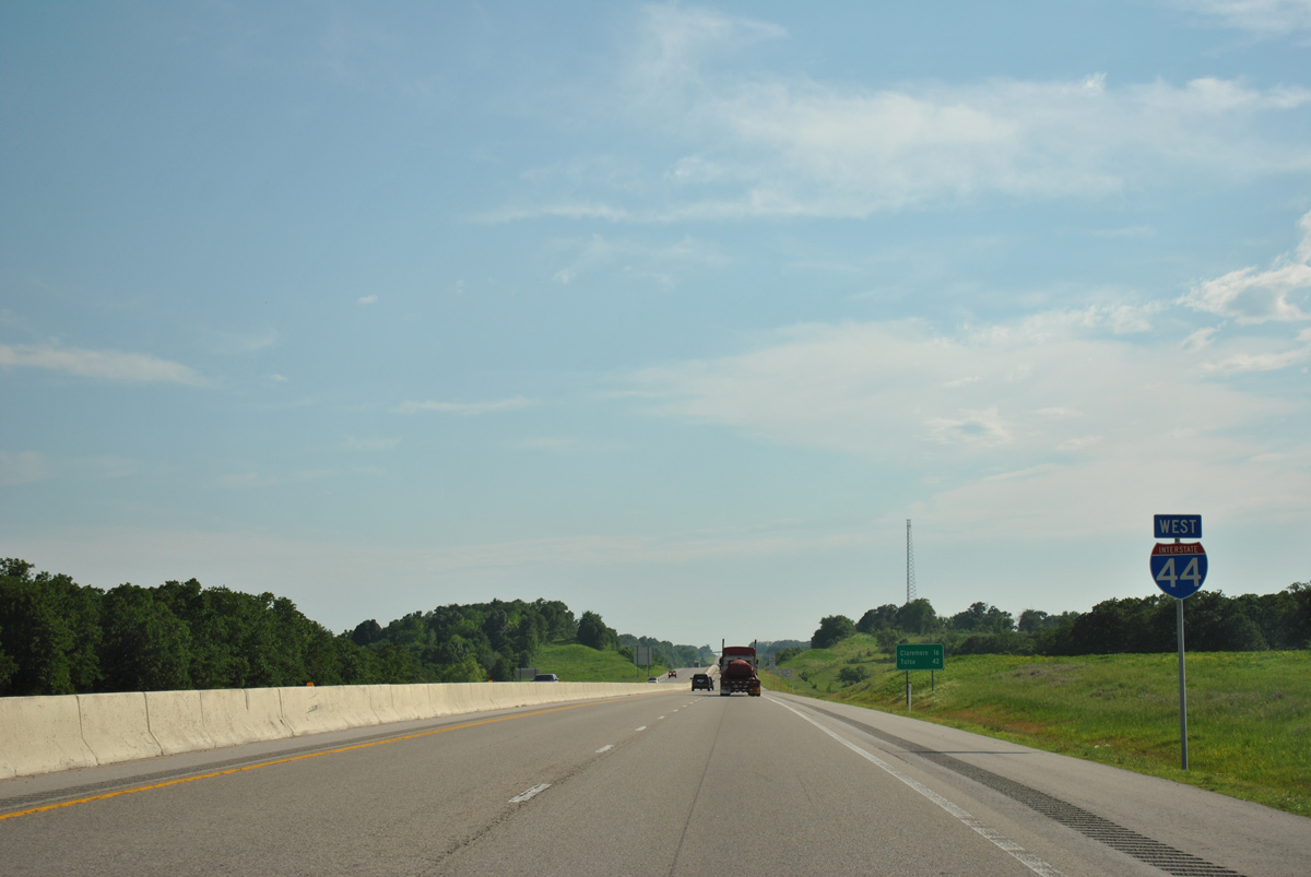
SH 10 travels west across Miami to SH 99 beyond Copan and southeast to U.S. 59 at Grove.
05/04/12
05/04/12

05/04/12
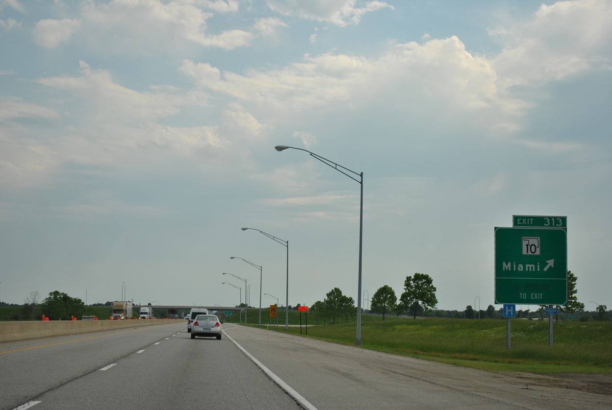
Entering the trumpet interchange and access road at Exit 313 with SH 10 west to U.S. 69 and Downtown Miami and east to U.S. 60 near Wyandotte.
05/04/12
05/04/12
IH 44 (Will Rogers Turnpike) heads south from Miami across the Neosho River.
05/04/12
05/04/12
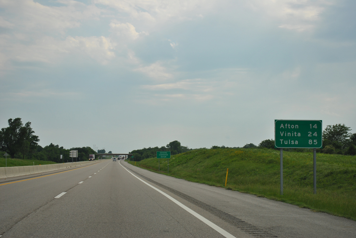
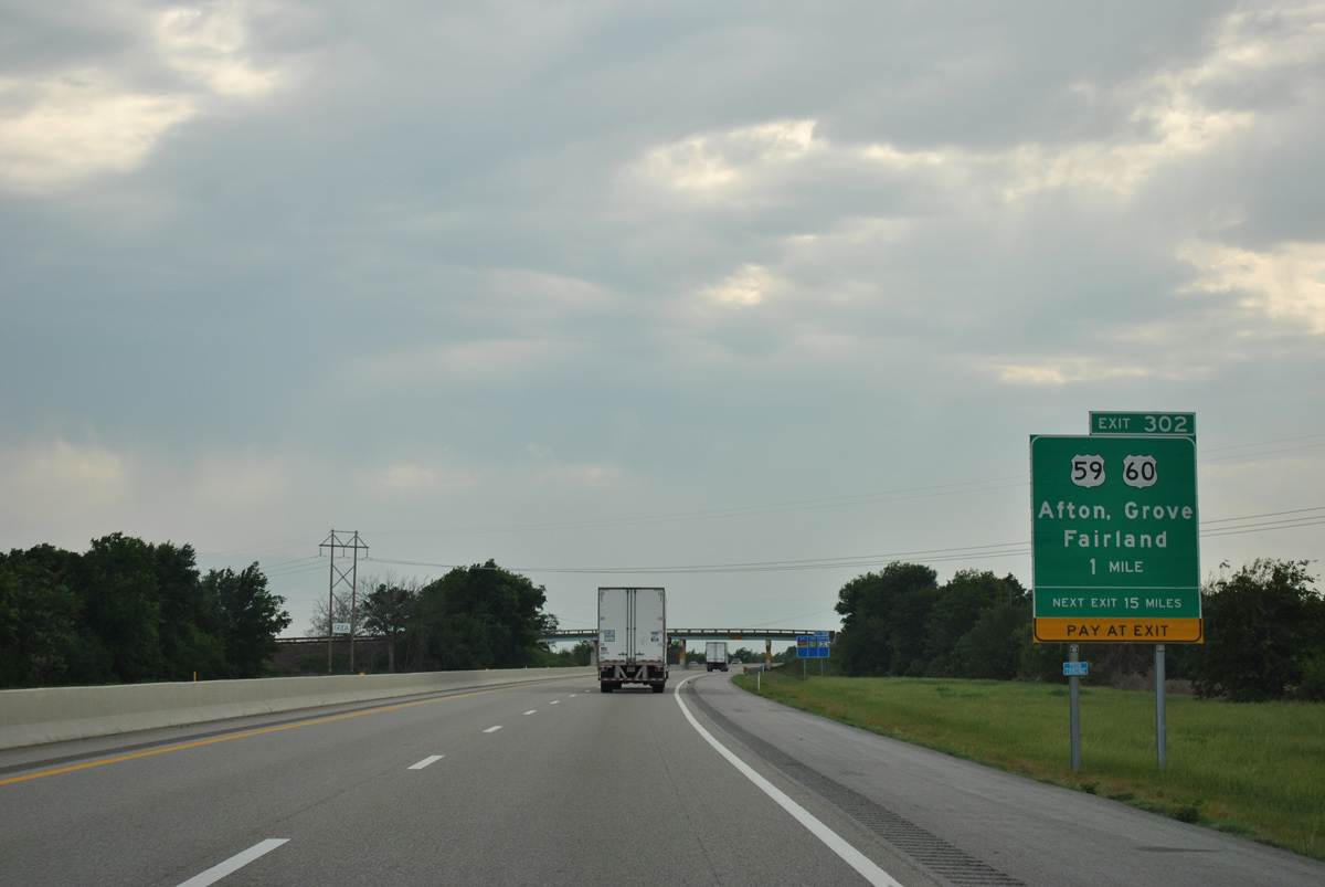
The succeeding exit from the Will Rogers Turnpike is with U.S. 59, U.S. 60 and U.S. 69 outside the town of Afton.
05/04/12
05/04/12
IH 44 westbound between S 560 Road and E 150 Road.
05/04/12
05/04/12
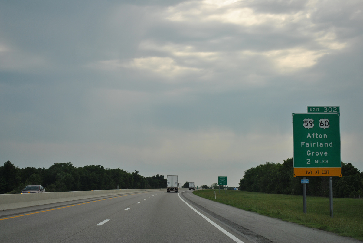
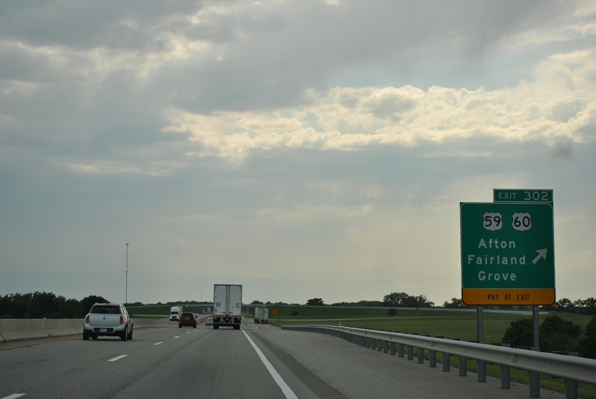
IH 44 makes a gradual western turn ahead of the trumpet interchange and access road at Exit 302 for U.S. 59/60/69.
05/04/12
05/04/12
U.S. 60 stems east from the cloverleaf interchange joining the access road at Exit 302 and U.S. 59/69 along a BNSF Railroad to the town of Fairland. U.S. 59 branches southeast from U.S. 60/69 at Afton to the city of Grove.
05/04/12
05/04/12
U.S. 60/69 combine southwest through Afton before turning south to SH 85 and west to IH 44 at Vinita.
05/04/12
05/04/12
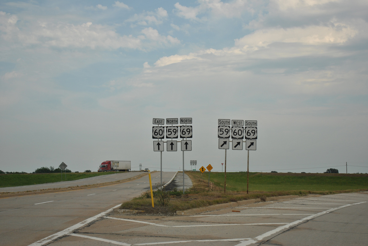
Beyond the toll collection point, the access road at Exit 302 enters the cloverleaf interchange joining U.S. 60 west with U.S. 59/69. U.S. 59/69 overlap north to SH 10 outside Miami.
05/04/12
05/04/12
05/04/12
05/04/12
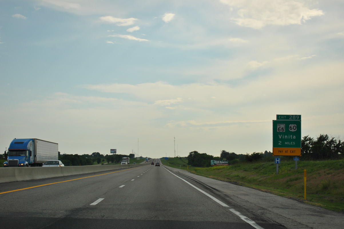
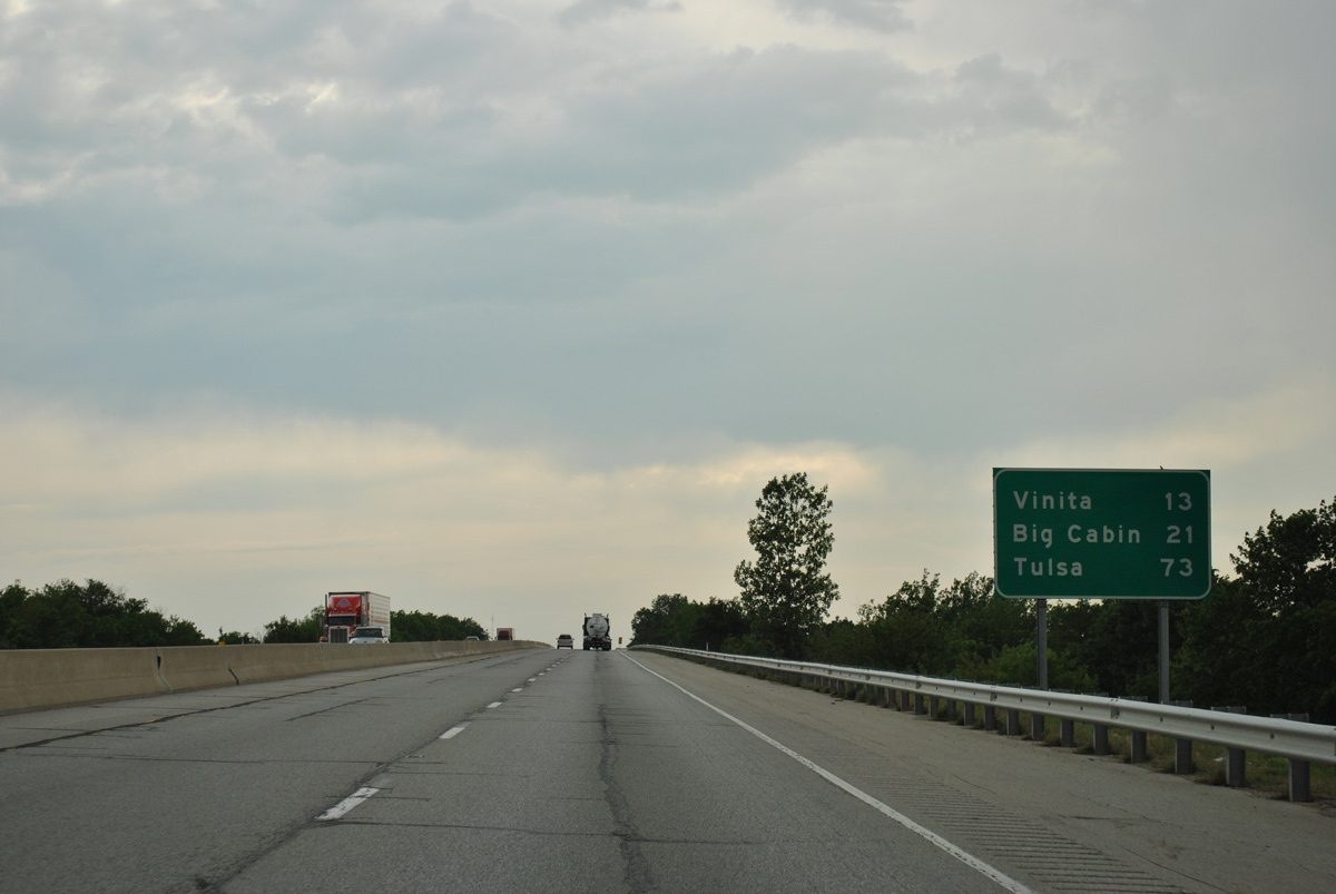
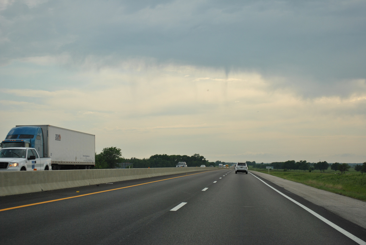
U.S. 60/69 converge with IH 44 again at Exit 289 on the east side of Vinita.
05/04/12
05/04/12
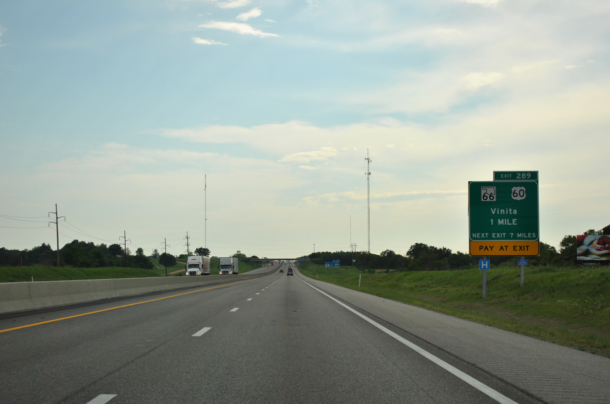
Guide signs for Exit 289 incorrectly display SH 66, which begins 6.3 miles west of IH 44 along U.S. 60 and omit U.S. 69, which continues alongside U.S. 60 for 4.85 miles through Vinita.
05/04/12
05/04/12
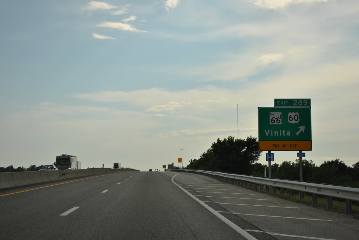
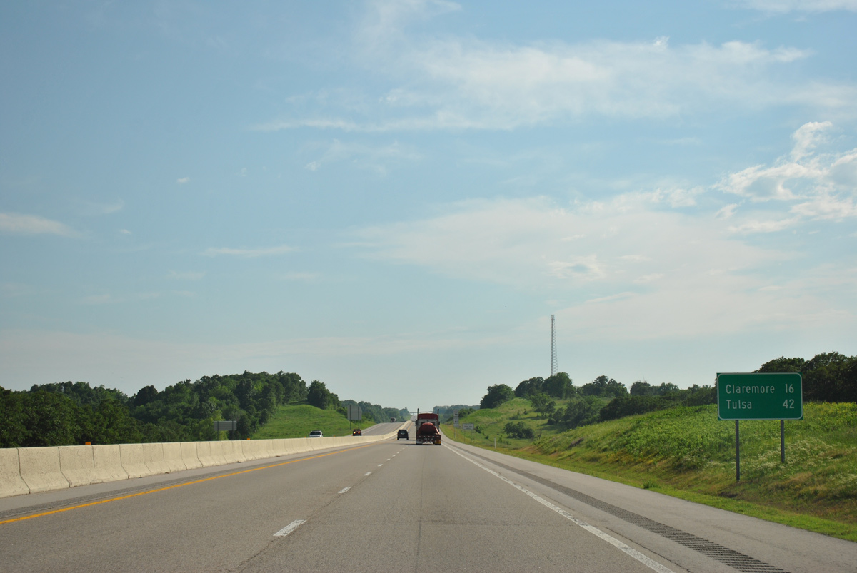
SH 66 travels southwest from Vinita to Chelsea, Foyil and Claremore. U.S. 69 heads south from U.S. 60 to Big Cabin while U.S. 60 leads northwest to Nowata.
05/04/12
05/04/12
05/04/12
05/04/12
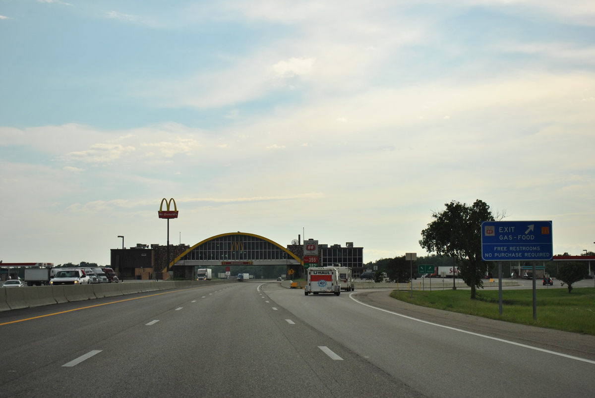
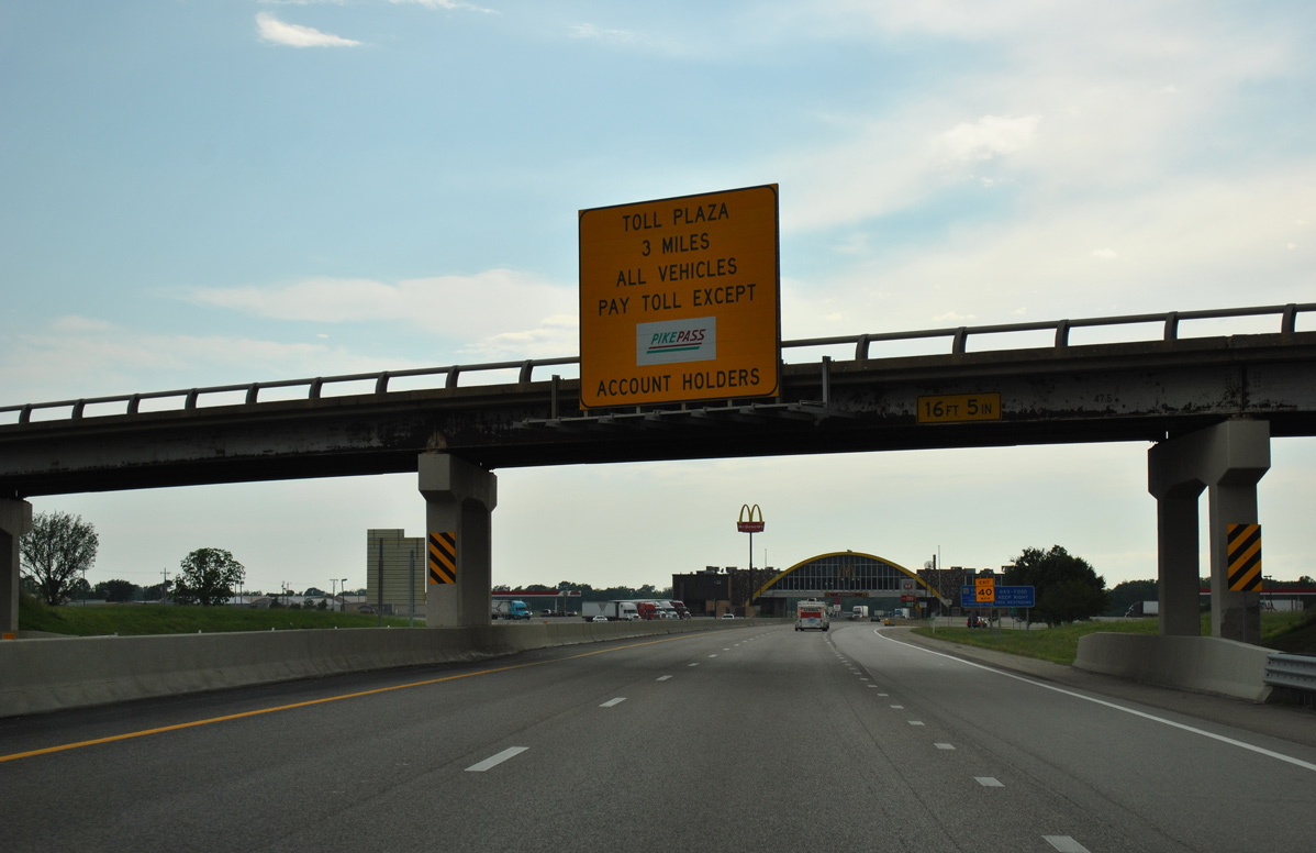
IH 44 continues west through Vinita to the Will Rogers Archway service plaza.
05/04/12
05/04/12
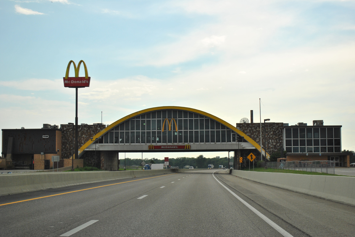
The Will Rogers Archway opened in early 1958 and was at one time home of the world's largest McDonald's The archway was rebuilt from late 2013 to December 2014.1
05/04/12
05/04/12
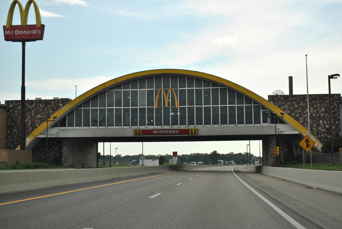
The Will Rogers Archway was the first service plaza built over a highway. Nicknamed "The Glass House," the building spanning IH 44 tops out at 52 feet.1
05/04/12
05/04/12
05/04/12
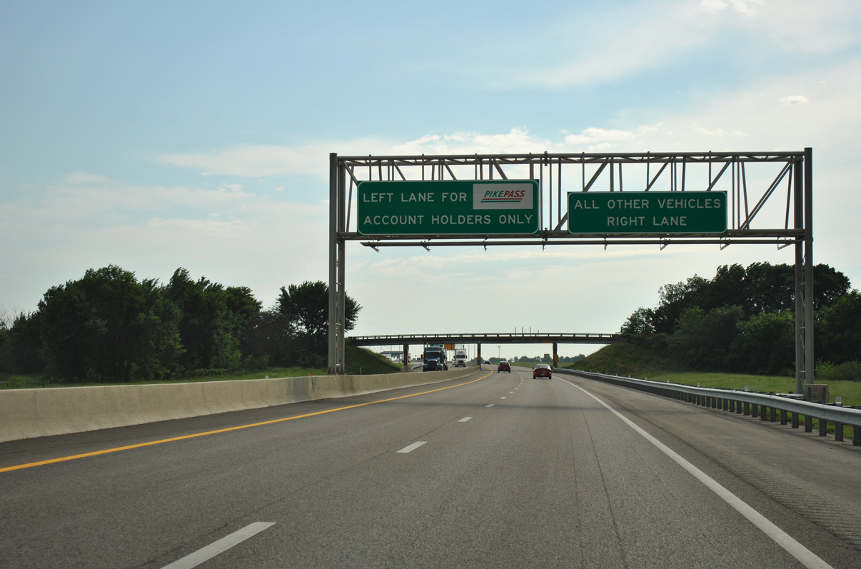
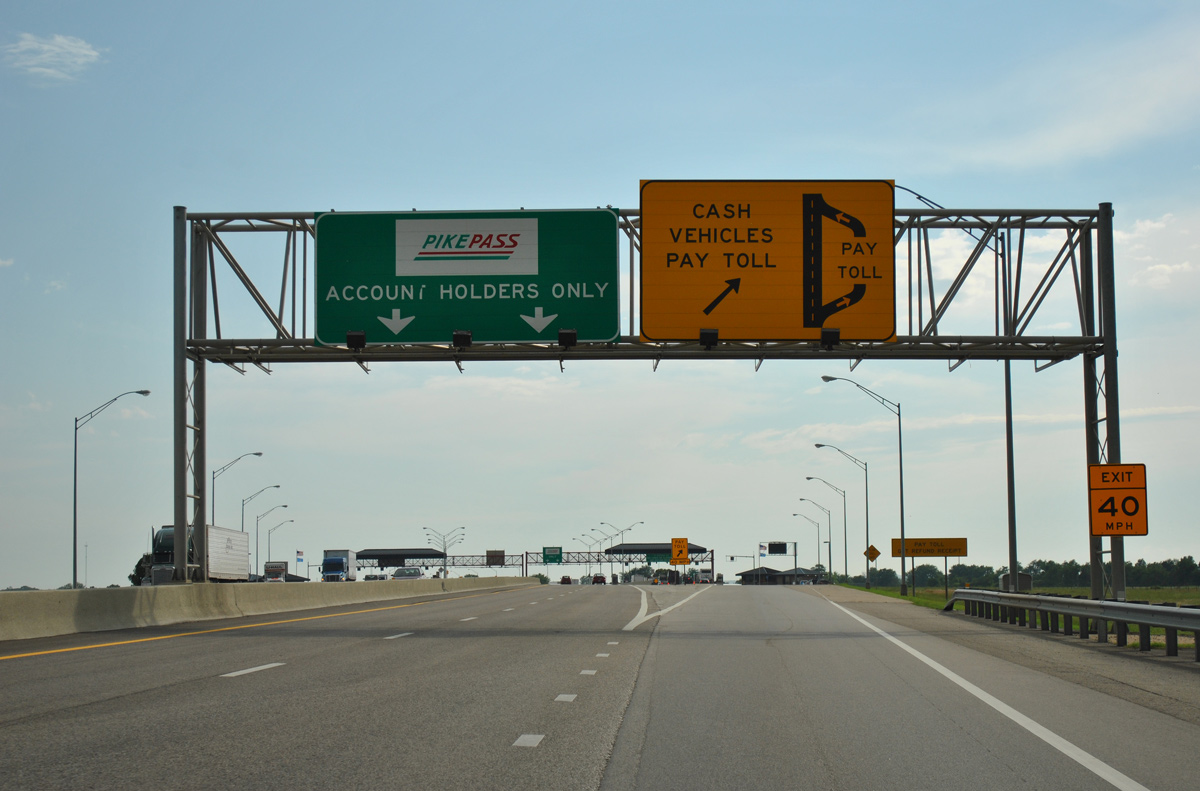
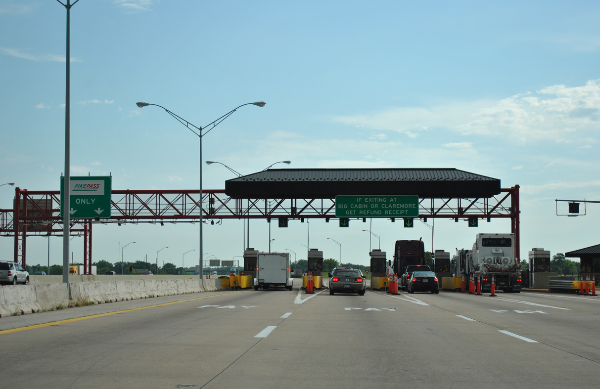
05/04/12
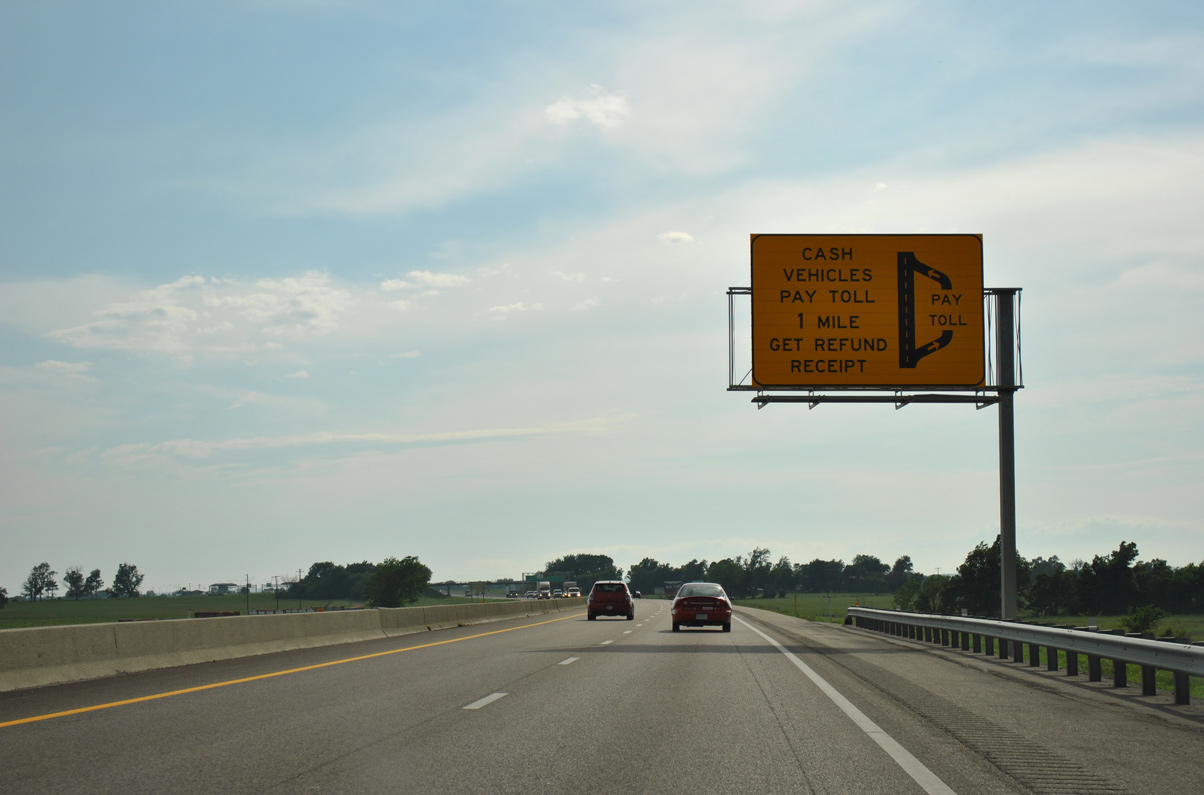
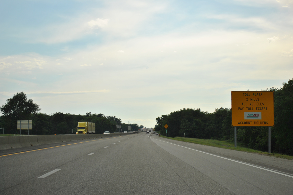
Traffic partitions through the Will Rogers Toll Plaza with open road tolling for PikePass account holders to the left and cash toll collection at booths to the right.
05/04/12
05/04/12
The Oklahoma Turnpike Authority (OTA) commenced phasing out cash toll collection statewide in 2021. The conversion to all electronic tolling (AET) got underway along the H.E. Bailey Turnpike in Summer 2022.
05/04/12
05/04/12
05/04/12
05/04/12
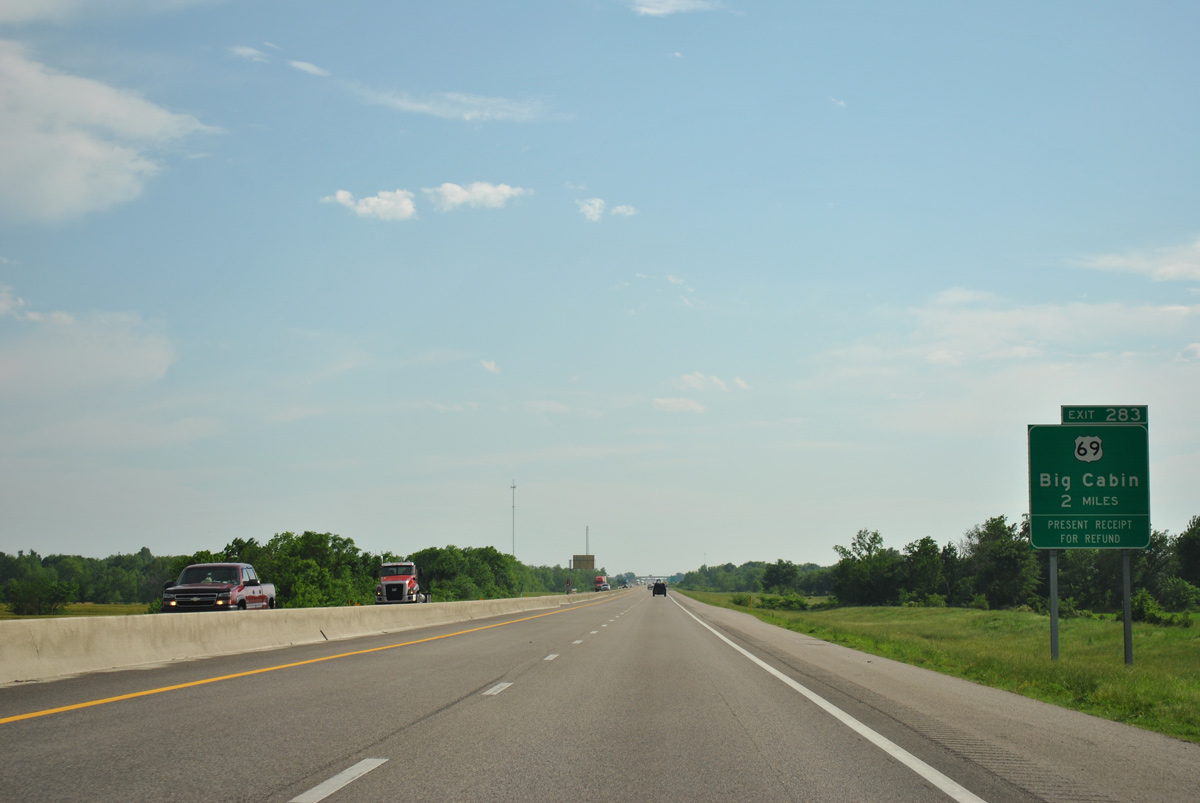
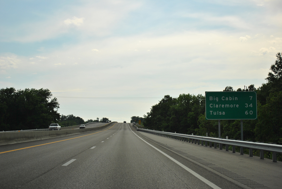
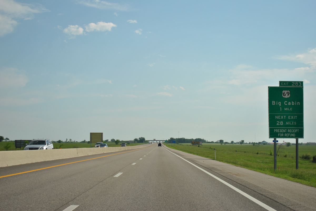
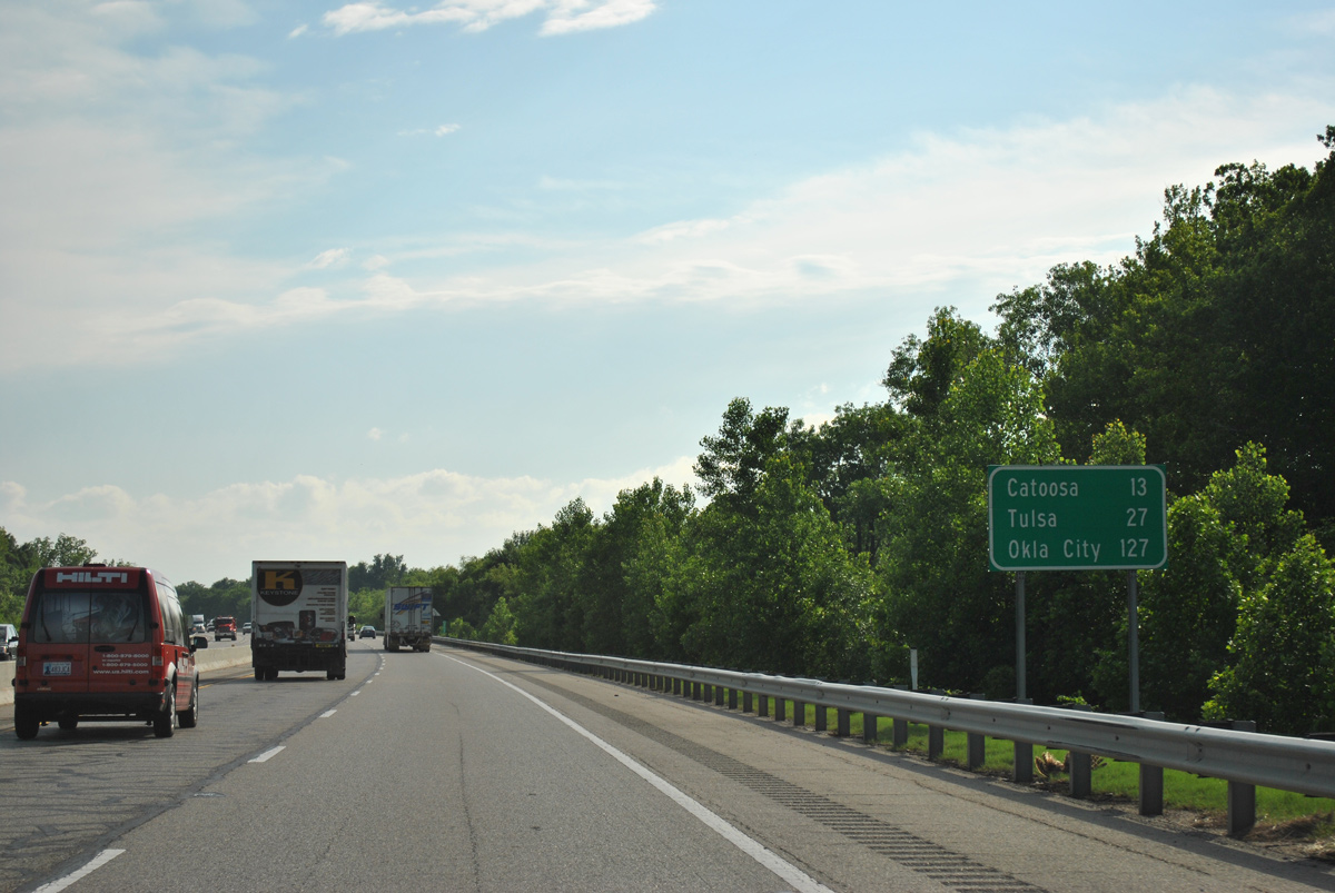
U.S. 69 meets IH 44 (Will Rogers Turnpike) for a third time at the town of Big Cabin.
05/04/12
05/04/12
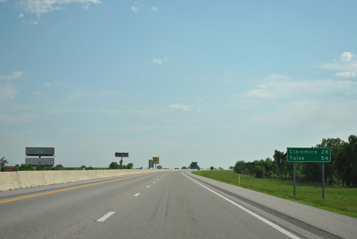
South from Big Cabin, U.S. 69 heads to the town of Adair, the Mayes County seat of Pryor and the city of Muskogee.
05/04/12
05/04/12
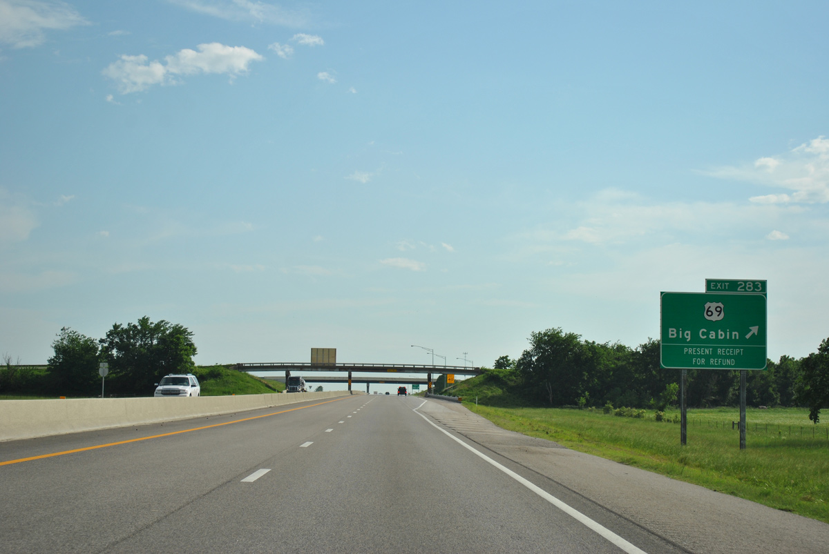
A 28 mile long exit less stretch commences southwest from the trumpet interchange (Exit 283) and access road to U.S. 69 at Big Cabin.
05/04/12
05/04/12
05/04/12
05/04/12
05/04/12
05/04/12
05/04/12
Exit 269 links IH 44 eastbound with SH 28 to Adair opposite an entrance ramp connecting SH 28 with IH 44 west.
05/04/12
05/04/12
05/04/12
05/04/12
05/04/12
05/04/12
05/04/12

05/04/12
05/04/12
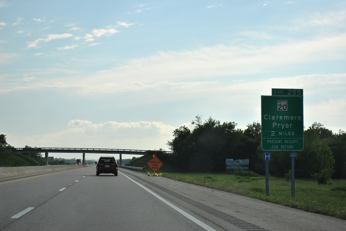
The trumpet interchange and access road at Exit 255 links the Will Rogers Turnpike with SH 20 at the city of Claremore.
05/04/12
05/04/12
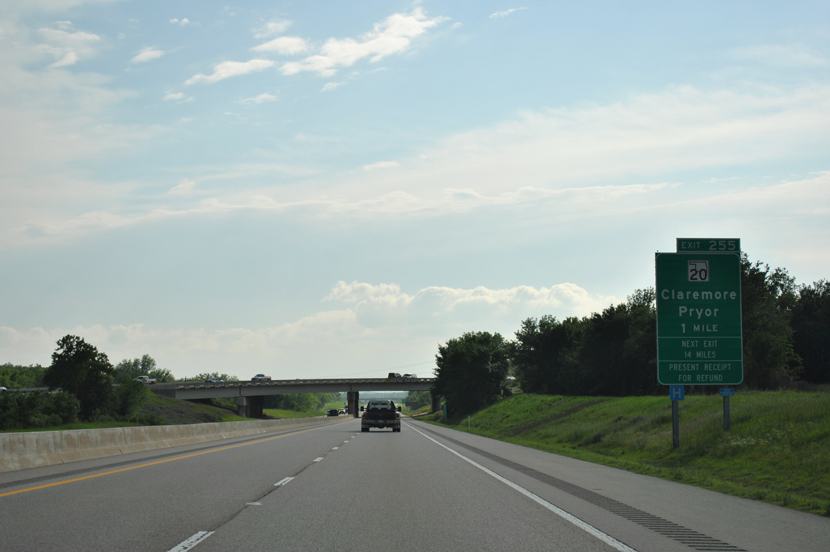
SH 20 bee lines east from Clarmore to Pryor and Salina on Lake Hudson.
05/04/12
05/04/12
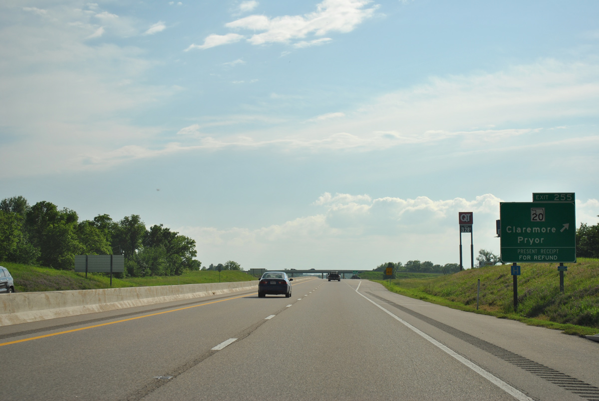
West from Exit 255, SH 20 leads into Downtown Claremore where it combines with SH 66 (Historic U.S. 66) for one block. The state highway continues west to U.S. 169 at Owasso.
05/04/12
05/04/12
05/04/12
05/04/12
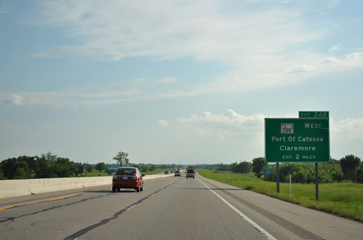
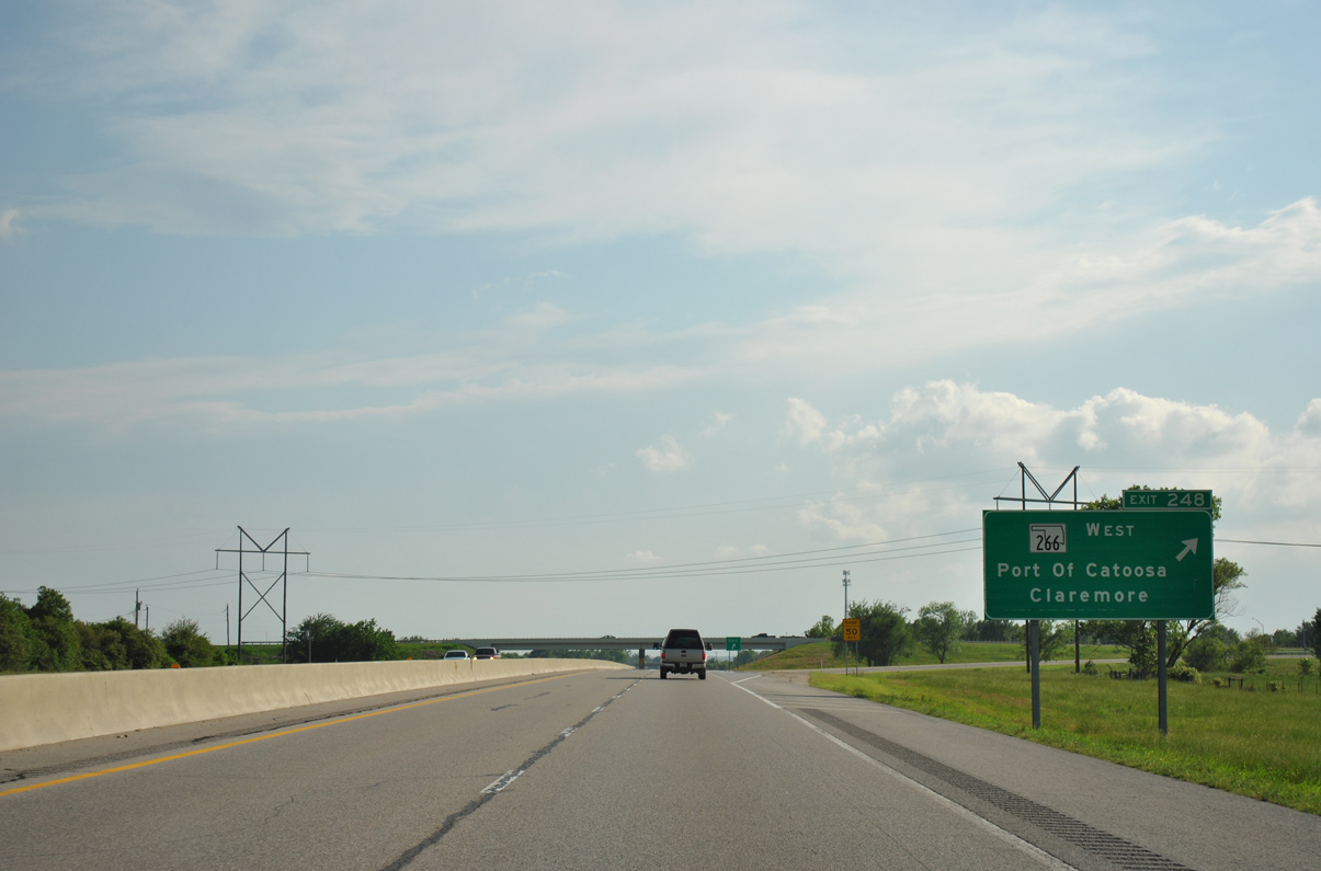
SH 266 stems west from Exit 248 at the town of Verdigris to the Port of Catoosa.
05/04/12
05/04/12
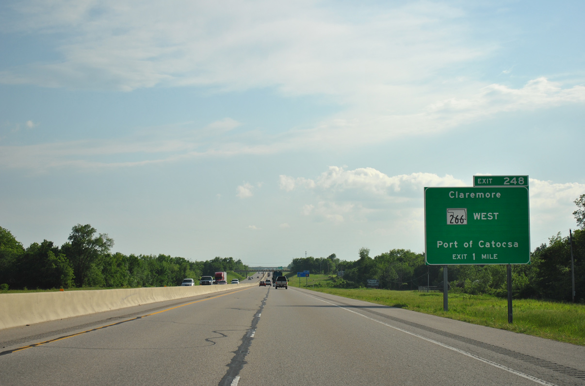
SH 266 runs 11.47 miles west from the trumpet interchange at Exit 248 to the freeway along U.S. 169 in north Tulsa.
05/04/12
05/04/12
05/04/12
05/04/12
05/04/12
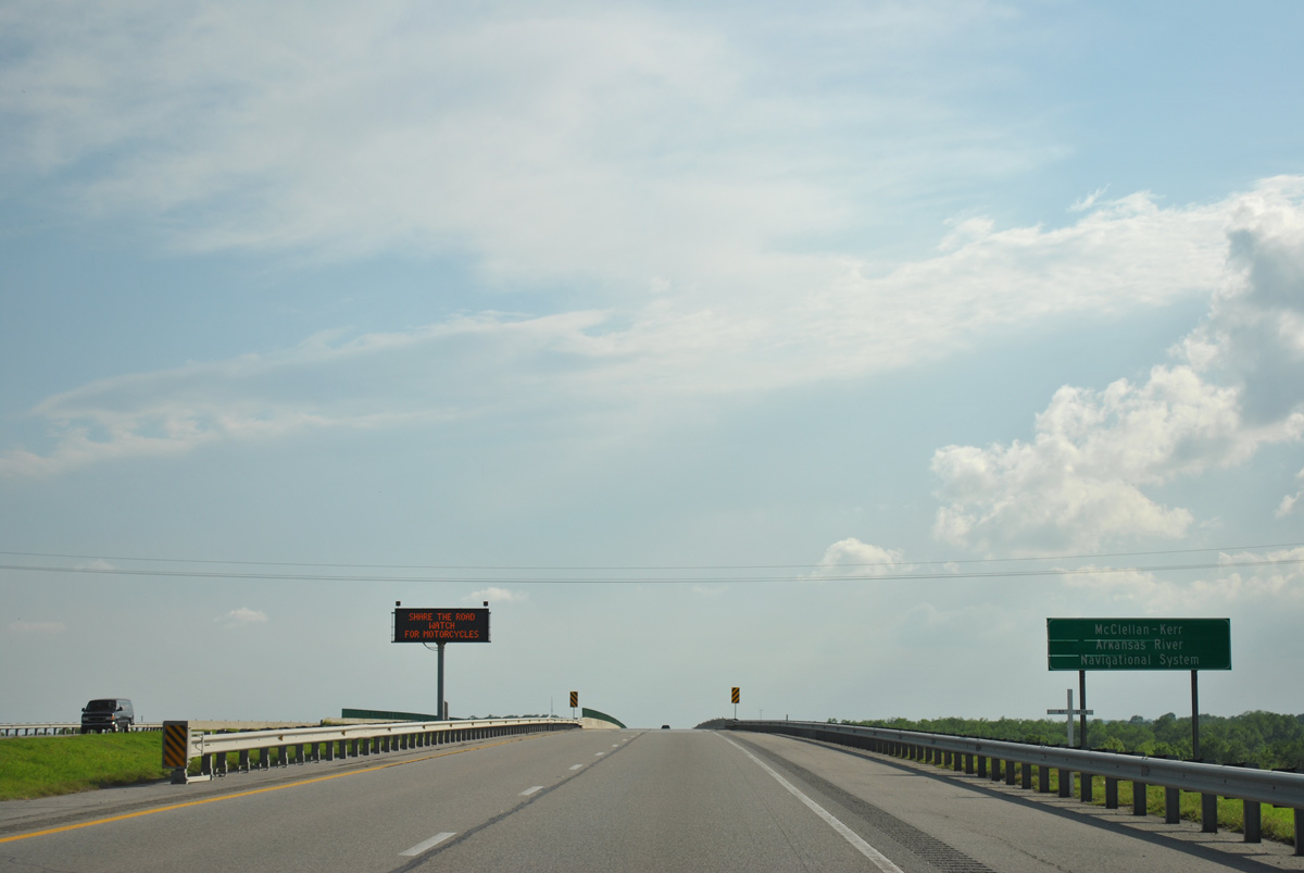
Ih 44 spans the Verdigris River east of Catoosa. The river is part of the McClellan - Kerr Arkansas River Navigational System.
05/04/12
05/04/12
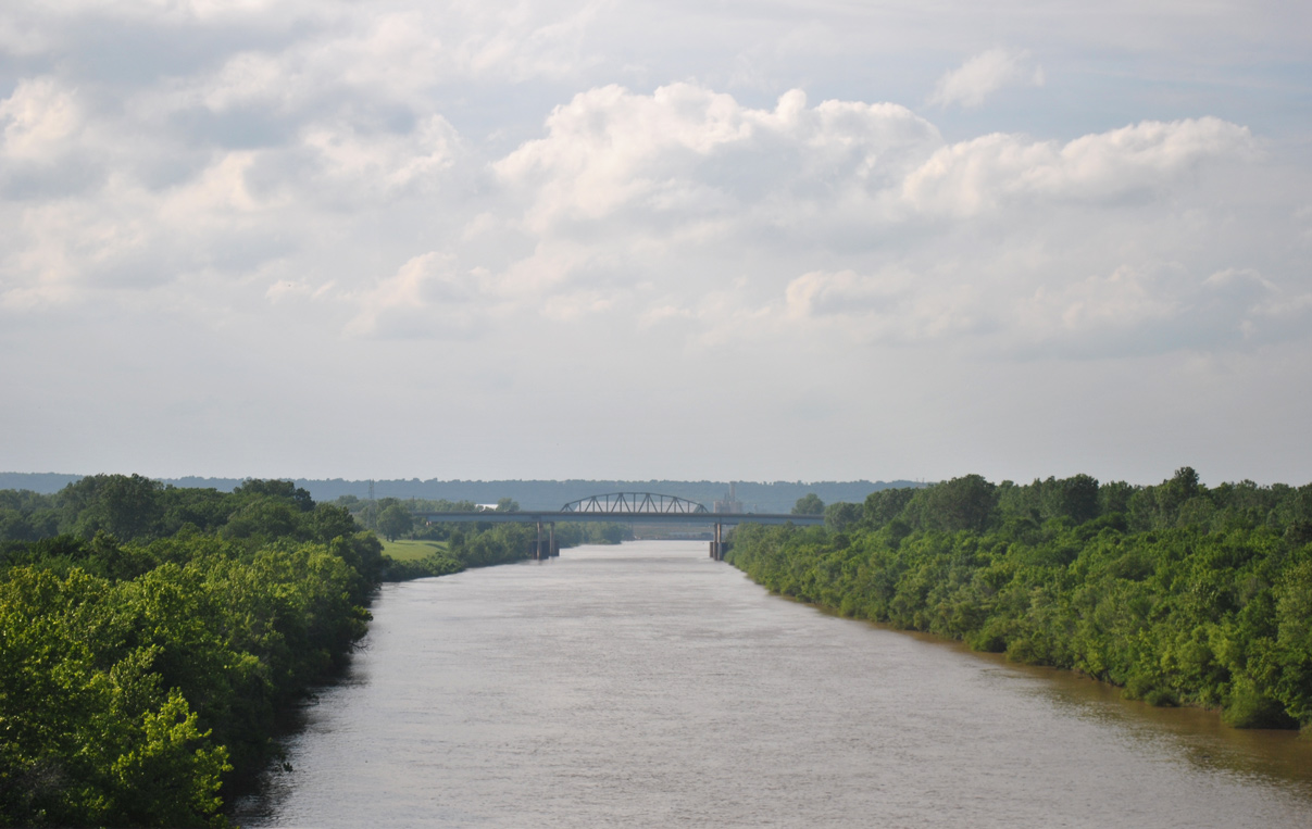
SH 66 (Historic U.S. 66) and a BNSF Railroad line span the Verdigris River upstream from IH 44.
05/04/12
05/04/12
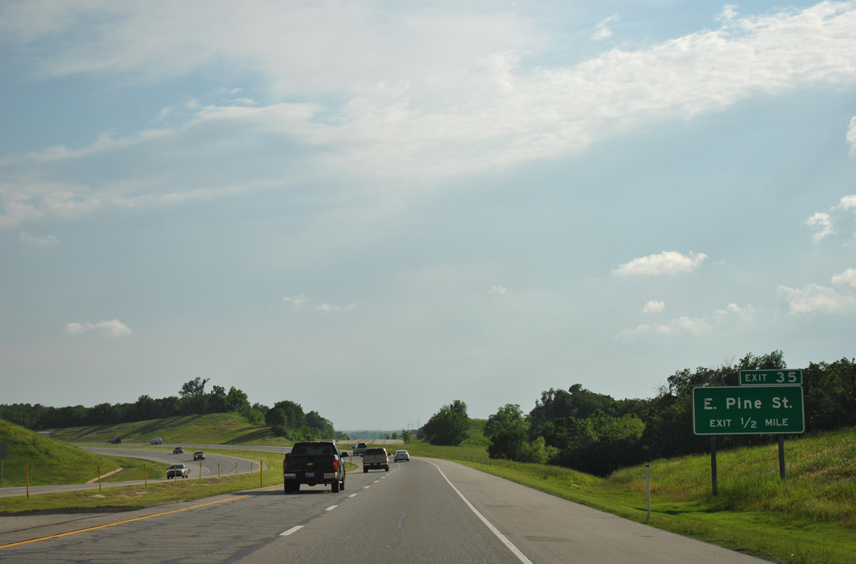
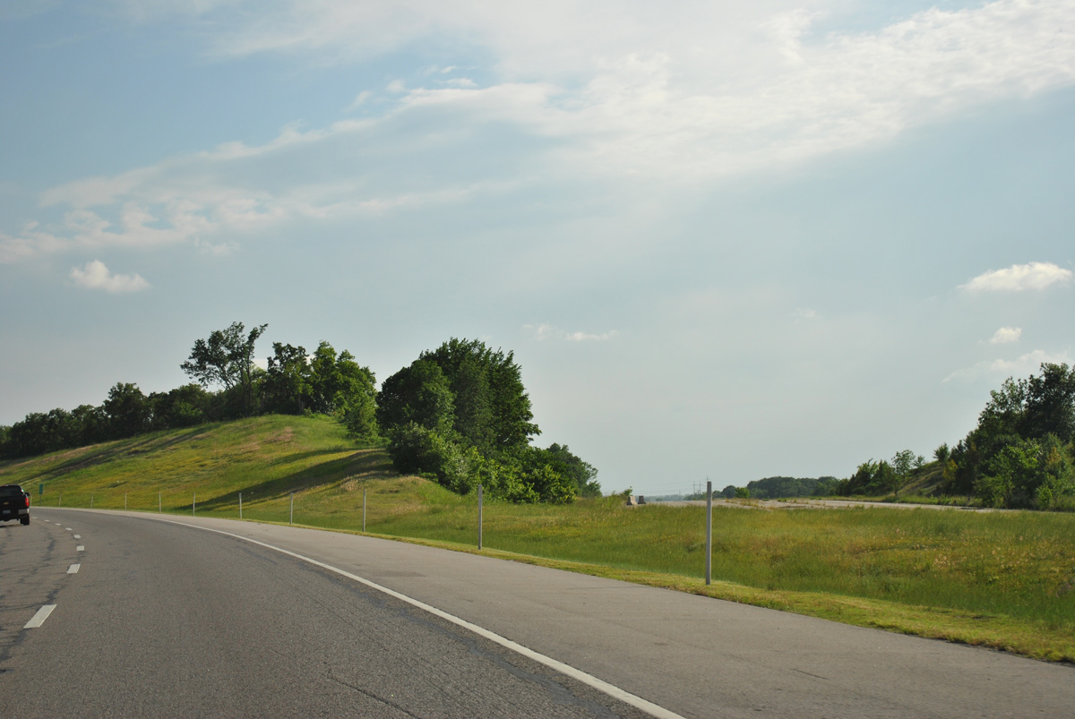
The Will Rogers Turnpike turns south to become the Creek Turnpike at Exit 35 for Pine Street. A section of the abandoned toll road angles southwest from IH 44 to SH 66 at Catoosa.
05/04/12
05/04/12
Interstate 44 was realigned southward to the exchange joining the Creek Turnpike with U.S. 412 in July 2002.
05/04/12
05/04/12
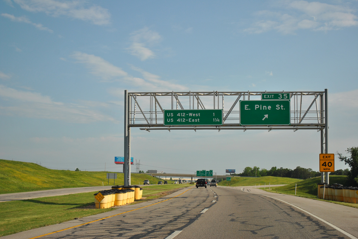
The exit numbering system for the Creek Turnpike takes over along IH 44 at the half diamond interchange (Exit 35) with E Pine Street at Catoosa and Fair Oaks.
05/04/12
05/04/12
The realignment of IH 44 from the westernmost extent of the Will Rogers Turnpike resulted in a TOTSO (turn off to stay on) movement where the route shifts west onto U.S. 412.
05/04/12
05/04/12
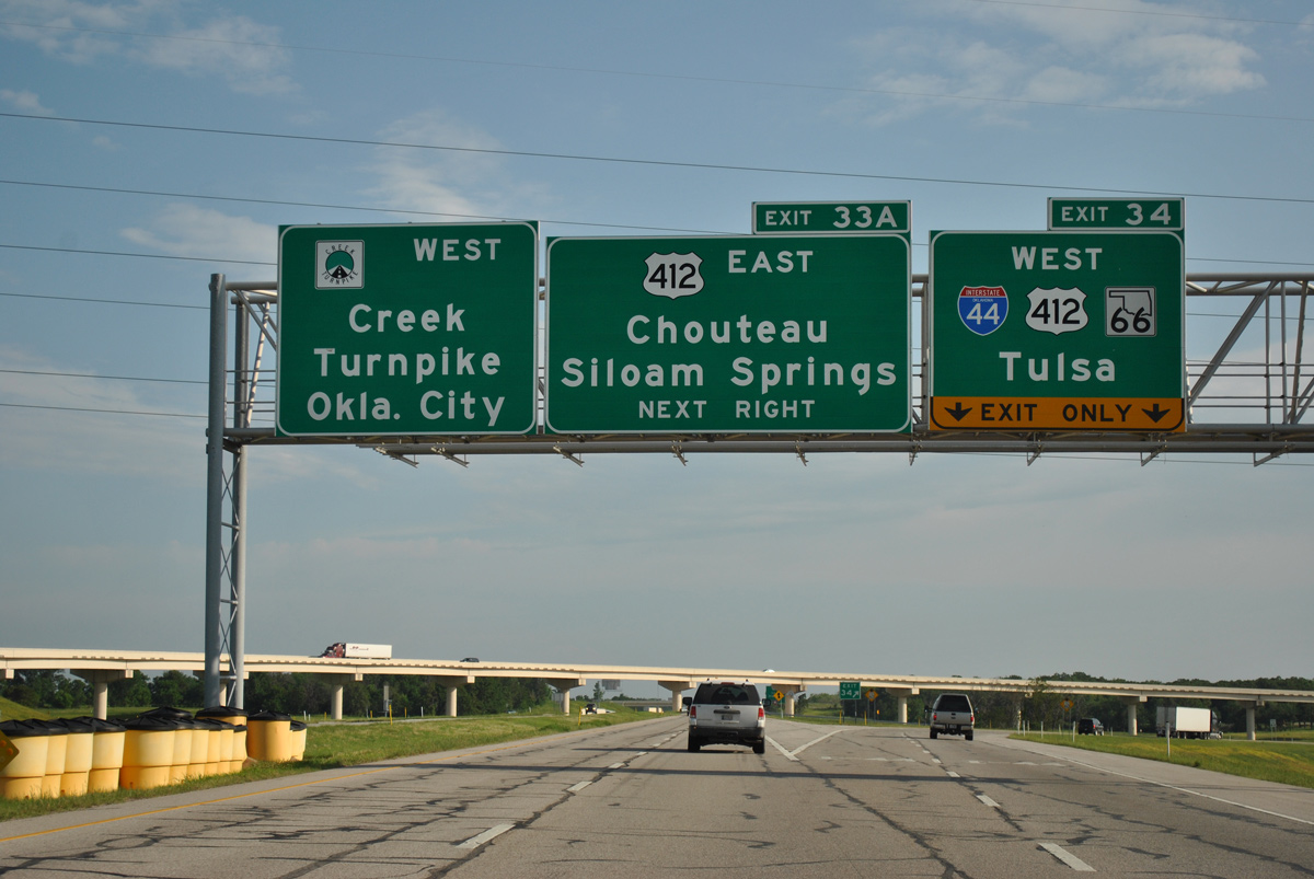
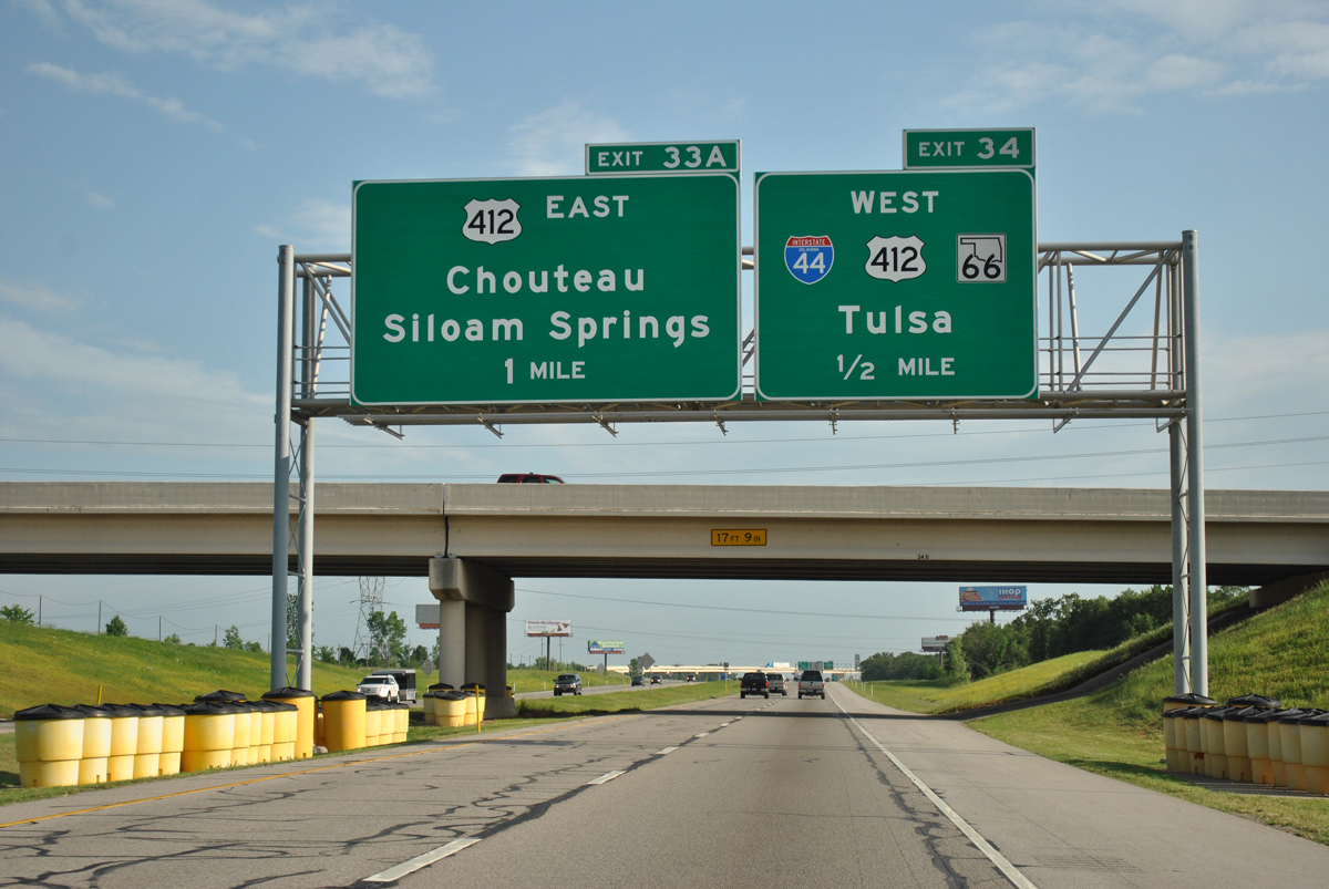
Exit 34 departs from the Creek Turnpike westbound for the continuation of IH 44 along U.S. 412 to Tulsa. Exit 33 A follows within the cloverstack interchange for U.S. 412 east to Inola, Chouteau and the Cherokee Turnpike toward Siloam Springs, Arkansas.
05/04/12
05/04/12

References:
- Will Rogers Archway. TravelOklahoma.
Photo Credits:
- ABRoads: 05/04/12
Page Updated Thursday July 07, 2022.