
Interstate 44 West - Sunset Hills to Eureka


 West
West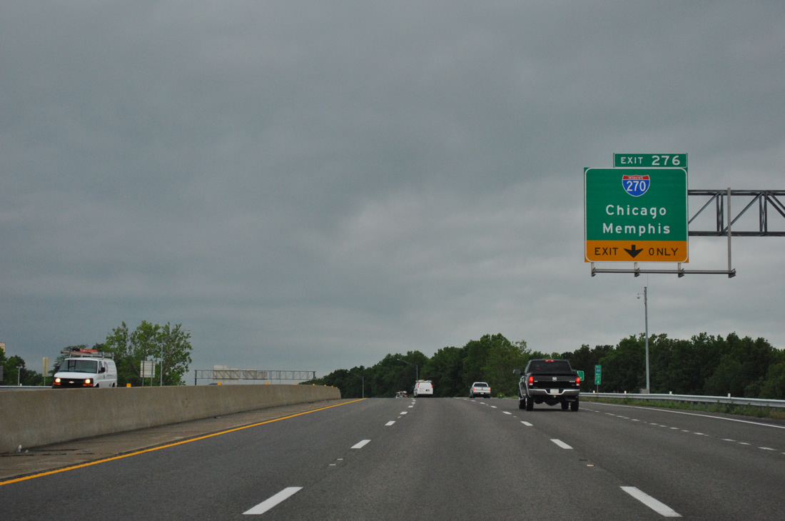
The right lane of Interstate 44 west leaves for Interstate 270 (Exit 276) at the Geyer Road overpass, just beyond the merge of U.S. 50 west. All traffic interests for I-270 north to Creve Coeur, Maryland Heights and Bridgeton and I-270 south to Sunset Hills and Mehlville utilizes the same ramp from the I-44 mainline.
05/04/12
The advent of traffic from Lindbergh Boulevard expands Interstate 44 & U.S. 50 to five lanes ahead of the directional cloverleaf interchange (Exit 276) with Interstate 270. Flyover ramps replaced two original loop ramps between the two freeways.
05/04/12
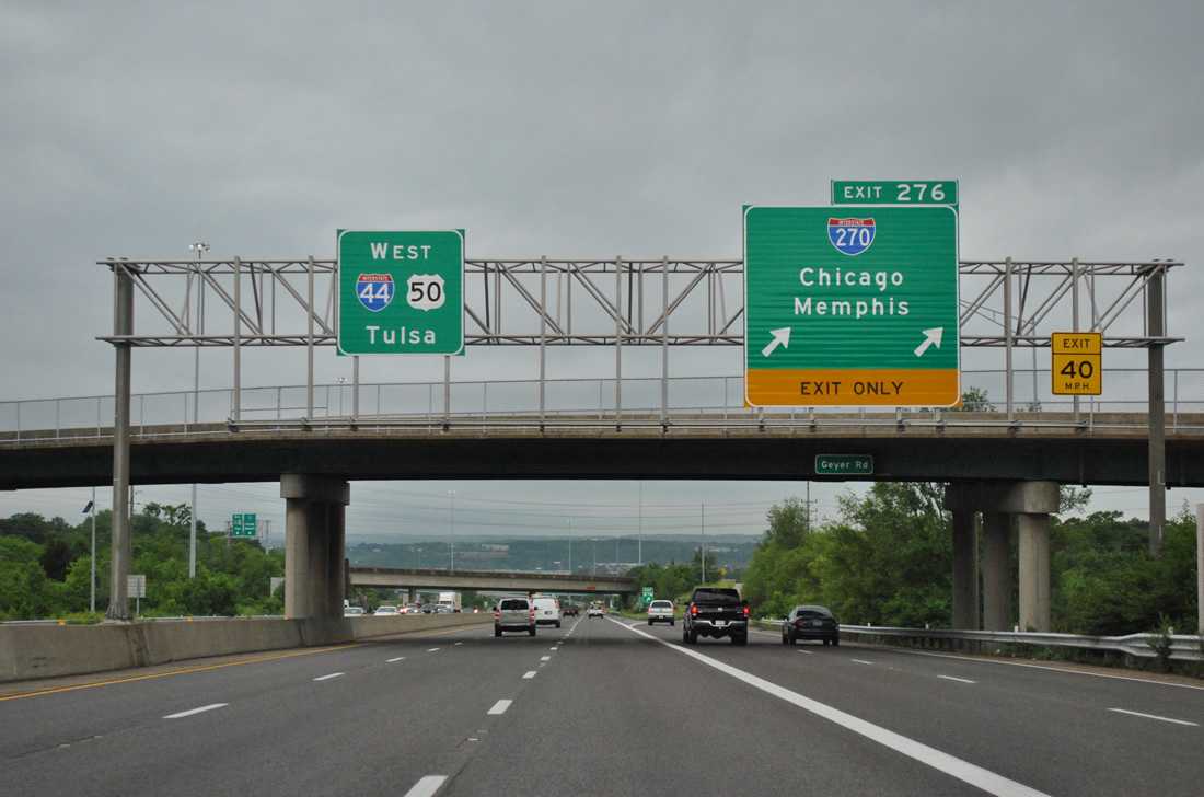
Exit 276 departs Interstate 44 & U.S. 50 west for Interstate 270. I-270 comprises a commuter route through the western and northern suburbs while also allowing traffic to bypass St. Louis for points west to Kansas City (via I-70) and north to Chicago (via I-55). Memphis is the southbound control point for the end of I-270 at I-55. Tulsa features somewhat regularly for I-44 signs in the St. Louis area, but is seldom used between here and Joplin.
05/04/12
Motorists bound for Interstate 270 first merge with the wye interchange at the end of Missouri 366 (Exit 277A of I-44 east). Two lanes join I-270 north to Des Peres while a single lane flyover heads south to Sunset Hills. Missouri 366 traffic may also access I-44 & U.S. 50 west to Fenton.
05/04/12
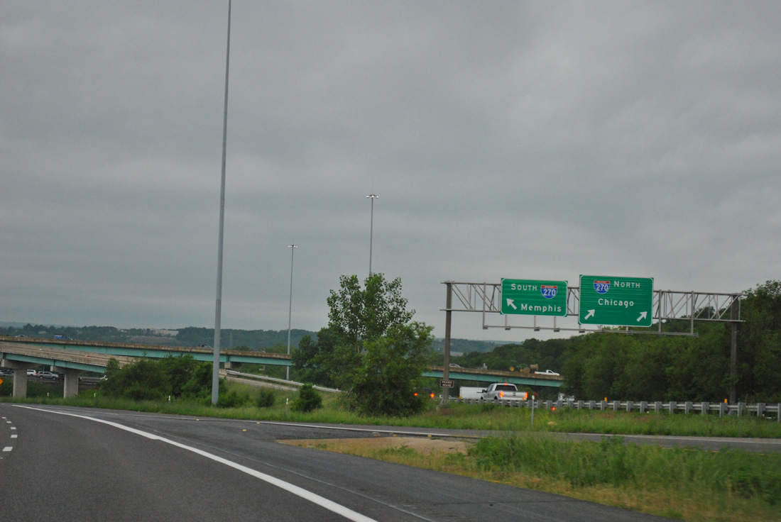
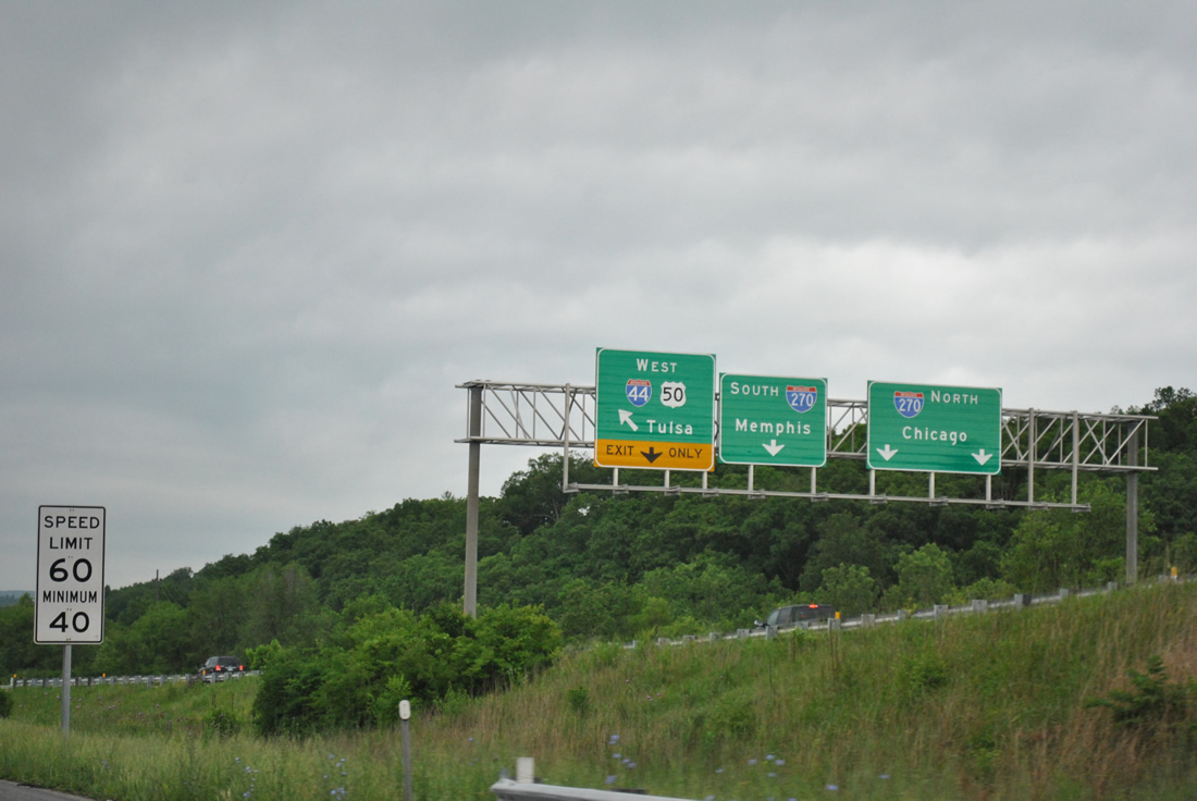
A parting shot of the Exit 276 ramp separation for Interstate 270. Until 1974, Interstate 270 north to Interstate 70 at Bridgeton and south to Interstate 55 at Mehlville was designated Interstate 244. This numbering reflected the connectivity with Interstate 44, but was later changed into an extension of I-270 due to driver confusion.
05/04/12

Traveling through the cloverstack interchange with Interstate 270 on I-44 & U.S. 50 west. Collector distributor roadways originally connected loop ramps with the St. Louis bypass. A portion of the original westbound c/d roadway acts as a distributor roadway for I-270 north to I-44 westm while modifications to the eastbound c/d roadway retain it to the split with MO 366 east.
05/04/12
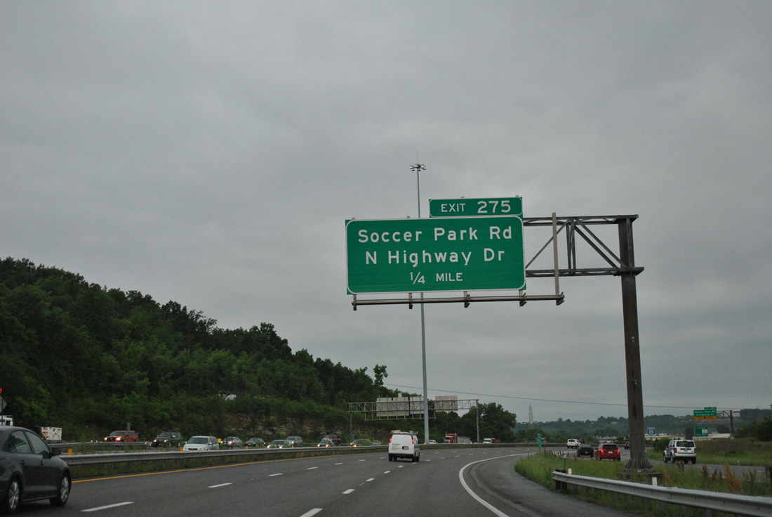
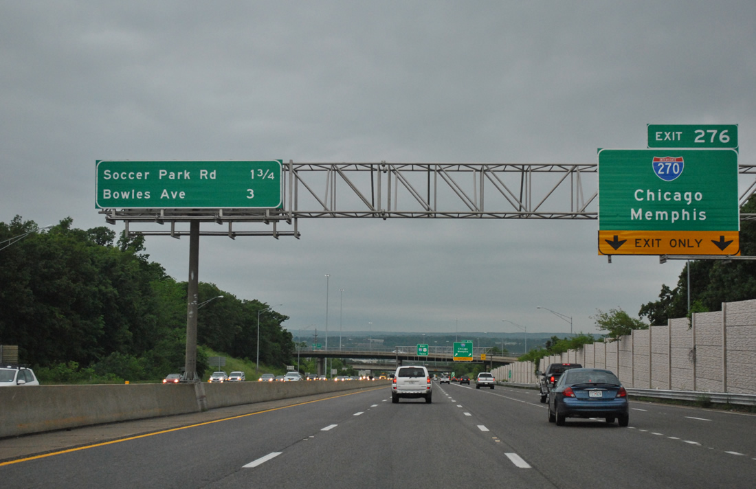
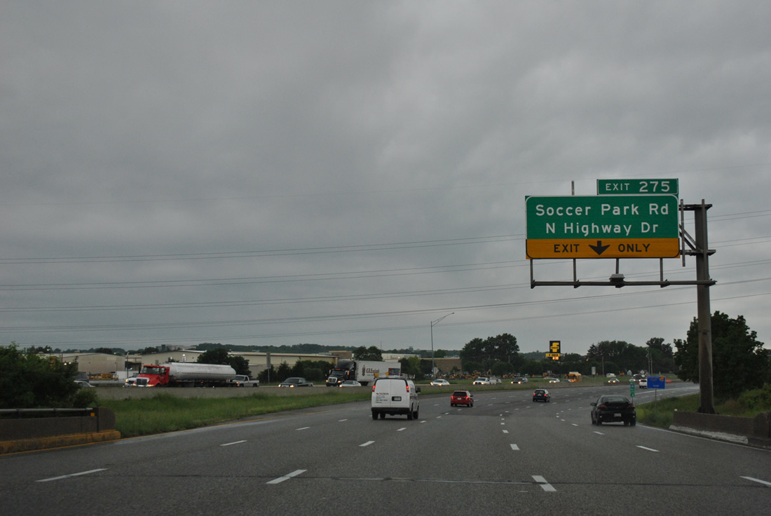
The first of three exits for the city of Fenton departs one quarter mile west of Interstate 270 for Soccer Park Road and North Highway Drive.
05/04/12
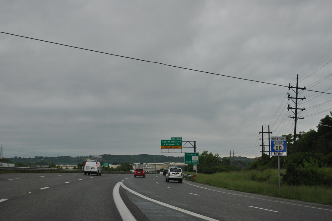
Interstate 44 & U.S. 50 directly overlaid the alignment of U.S. 66 from Watson Road west across the Meramec River.
05/04/12
Interstate 44 & U.S. 50 west briefly swell to five lanes across the Meramec River. Exit 275 claims the right lane for the beginning of North Highway Drive, a frontage road along I-44 west through Fenton to Peerless Park.
05/04/12
Soccer Park Road spurs east from North Highway Drive and Exit 275 to the Anheuser-Busch Center and Yarnell Road. The soccer park opened in 1982 and includes six playing fields and an exhibition field with a capacity to seat 6,200.
05/04/12
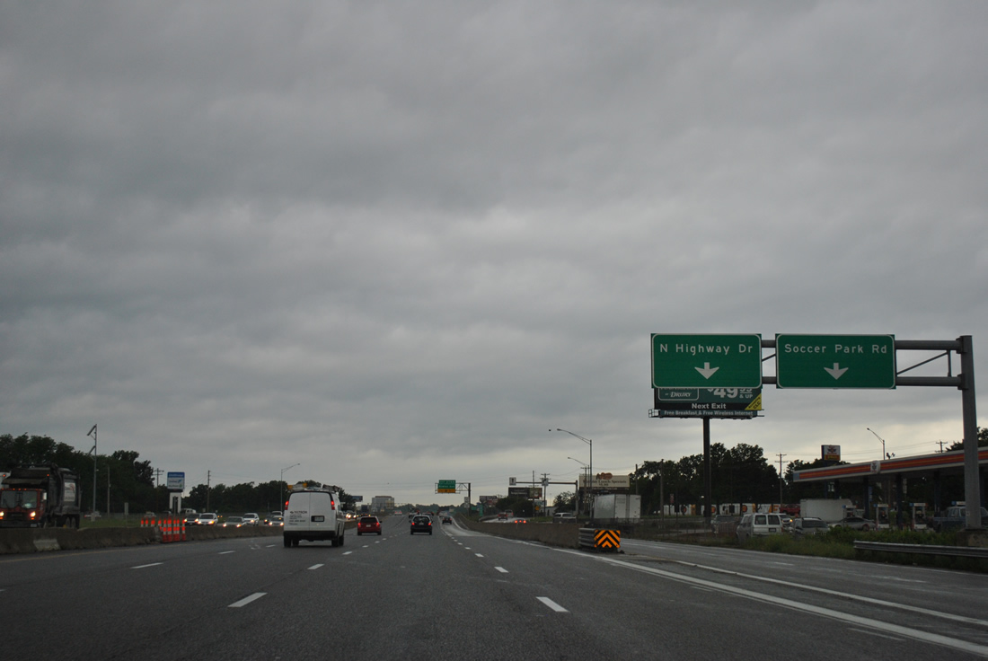
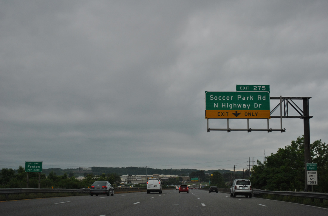
Exit 275 separates from the Interstate 44 mainline with ramps to Soccer Park Road east and North Highway Drive west. Since Interstate 44 directly replaced U.S. 50 & 66 through Fenton, Highway Drive North and South were added to serve local access, which mostly consists of industrial businesses. This included the former Chrysler St. Louis North and South plants.
05/04/12
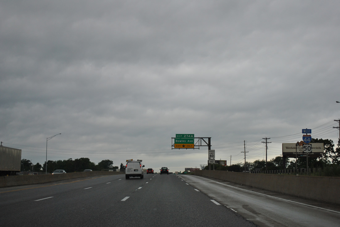
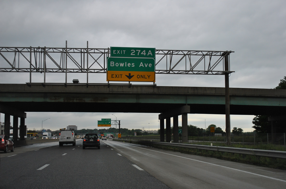
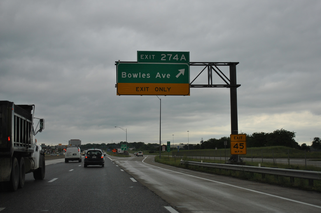
The first set of shields for Interstate 44 & U.S. 50 precede the Exit 274A slip ramp onto North Highway Drive for Bowles Avenue.
05/04/12
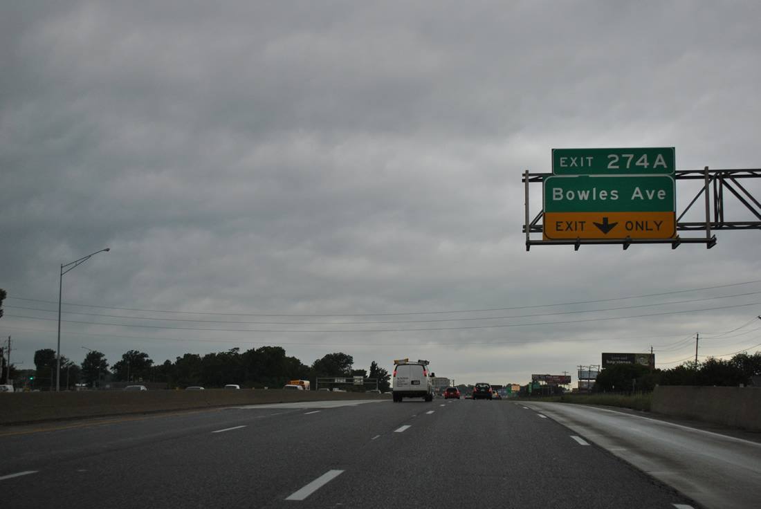
Bowles Avenue begins at Larkin Williams Road, adjacent to North Highway Drive and a three-quarter diamond interchange (Exit 274A) with I-44. The road follows an S-curve south to suburban areas of both Fenton and unincorporated St. Louis County to Missouri 141.
05/04/12
A folded diamond interchange connected North and South Highway Drive with Mraz Lane north, which served the former Chrysler St. Louis North and South plants. The factories began operation in 1959 and 1966 respectively, manufacturing cars, trucks and later mini-vans. Both operations closed (St. Louis South on October 31, 2008 and St. Louis North on July 10, 2009) and were demolished by 2011.1
05/04/12
Exit 274A follows the overpass to Mraz Lane onto North Highway Drive by the former St. Louis South Chrysler plant site.
05/04/12
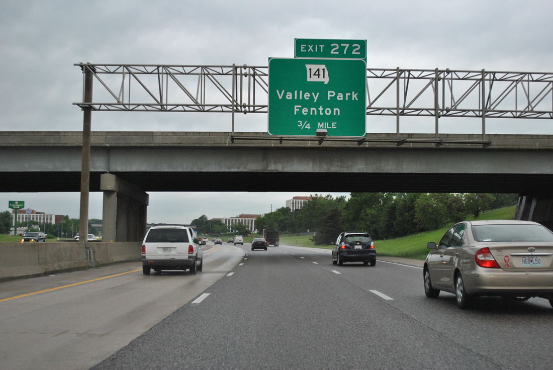
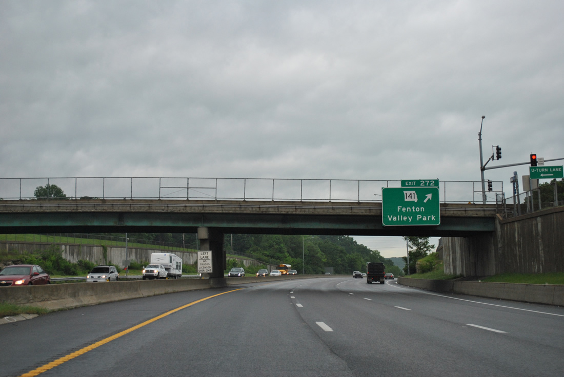
Route 141, a highway between U.S. 61/67 at Arnold and Route 370 at Bridgeton, meets I-44/U.S. 50 in three quarters of a mile at a diamond interchange (Exit 272).
05/04/12
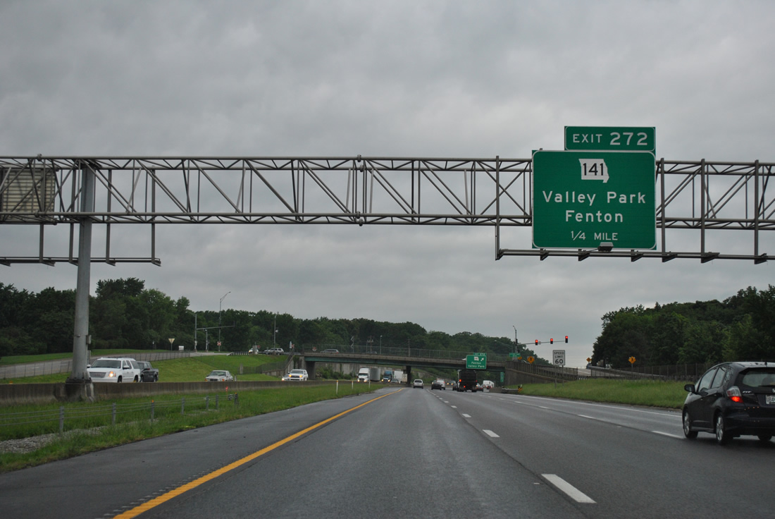
Interstate 44 & U.S. 50 drop below grade as they leave Fenton ahead of MO 141. MO 141 varies between arterial and expressway standards throughout its 30.9 mile route. This includes the July 14, 2012-completed Maryland Heights Expressway from I-64/U.S. 40 north to MO 364 (Page Avenue extension).2
Origins of the MO 141 corridor date back to the 1970s with a regional highway plan for another outer belt highway beyond Interstate 270. Construction commenced in 1976 on a four lane portion of MO 141 in Jefferson County and later in 1986 with a new Meramec River bridge at Valley Park and a single point urban interchange (SPUI) with MO 100 at Manchester in 1999. MO 141 ended at MO 340 (Olive Road) until July 2012, when MoDOT took over maintenance from St. Louis County of the Maryland Heights and Earth City Expressways north to Bridgeton.2
05/04/12
Exit 272 joins North Highway Drive from Interstate 44 & U.S. 50 west to its intersection with Missouri 141. A folded diamond interchange lies immediately north of I-44 between Highway 141 and West Outer Road, a frontage road leading west to Lone Elk Park along old U.S. 50 & 66.
05/04/12

Interstate 44 & U.S. 50 approach the Crescent Hills. Also known as the Tyson Valley Area, the forested hills are home to Lone Elk and West Tyson Parks, the Washington University Tyson Research Center and Forest 44 Conservation Area.
05/04/12
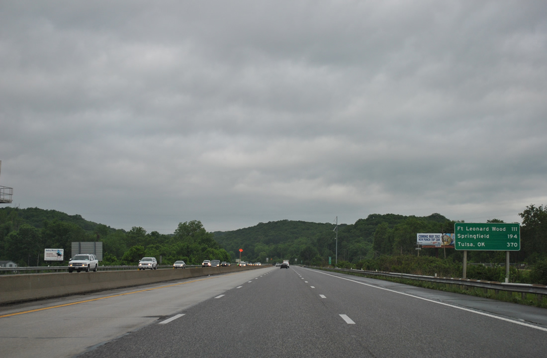
The first distance sign (one not listing interchanges) for Interstate 44 west overall lists the distances to Fort Leonard Wood (111 miles), Springfield (194 miles) and Tulsa, Oklahoma (370 miles). This is the last reference of Tulsa on I-44 west until after Exit 26 (Reeds), which is 124 miles out from T-Town.
05/04/12
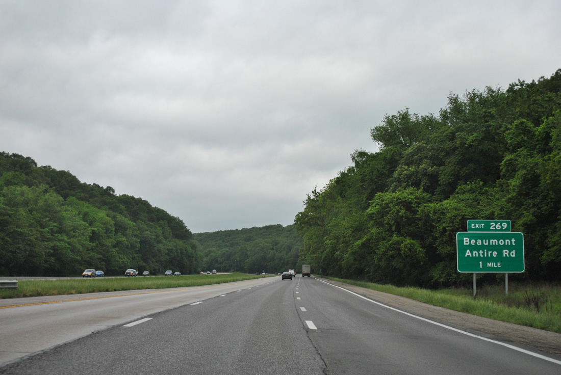
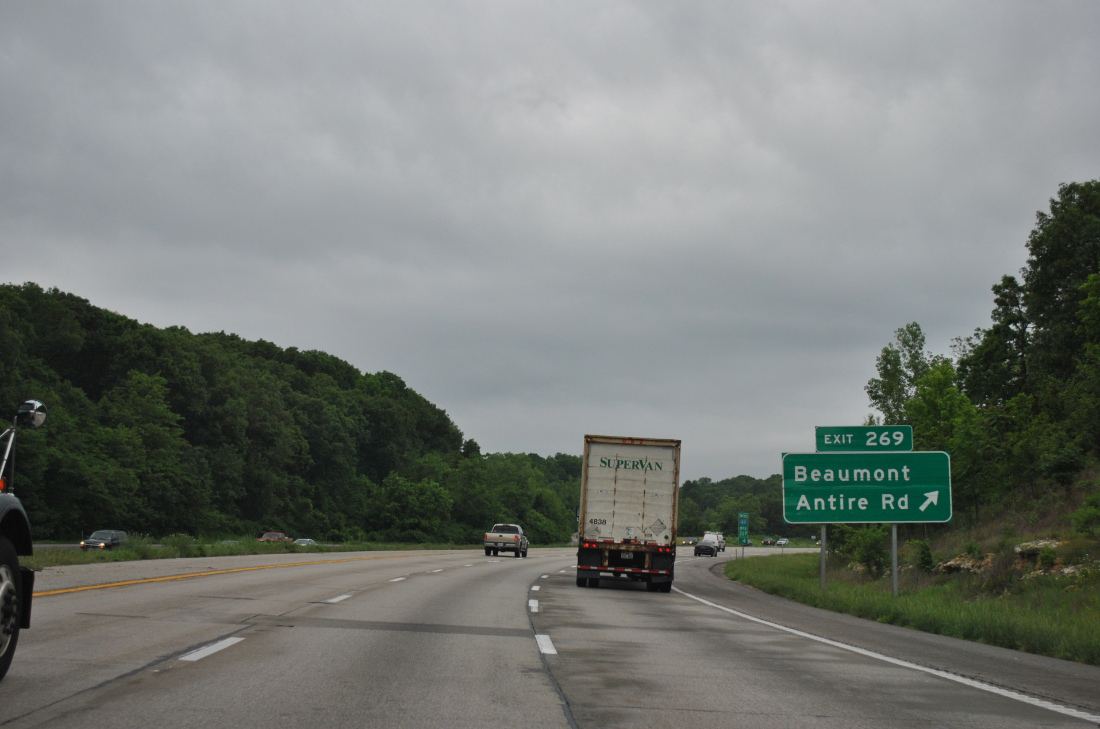
Exit 269 lies one mile west along Interstate 44 & U.S. 50 within the Crescent Hills at Antire Road.
05/04/12
Antire Road connects I-44 with Beaumont-Antire Road south to Antire Valley Park and the Beaumont Reservation in Jefferson County and north to Tyson Valley Road to the Washington University Tyson Research Center. 2,620 acres of land to the north was used for the St. Louis Ordnance Plant for ammunition storage and test firings. The land was later partitioned in 1963 with 2,000 acres going to Washington University and the remainder for Tyson Valley Park.3
05/04/12
Interstate 44 & U.S. 50 drop 150 feet in elevation from the Antire Road overpass into Antire Valley over the next mile.
05/04/12
Curving west, Interstate 44 & U.S. 50 follow the waters of Antire Creek west to a second crossing of the Meramec River.
05/04/12
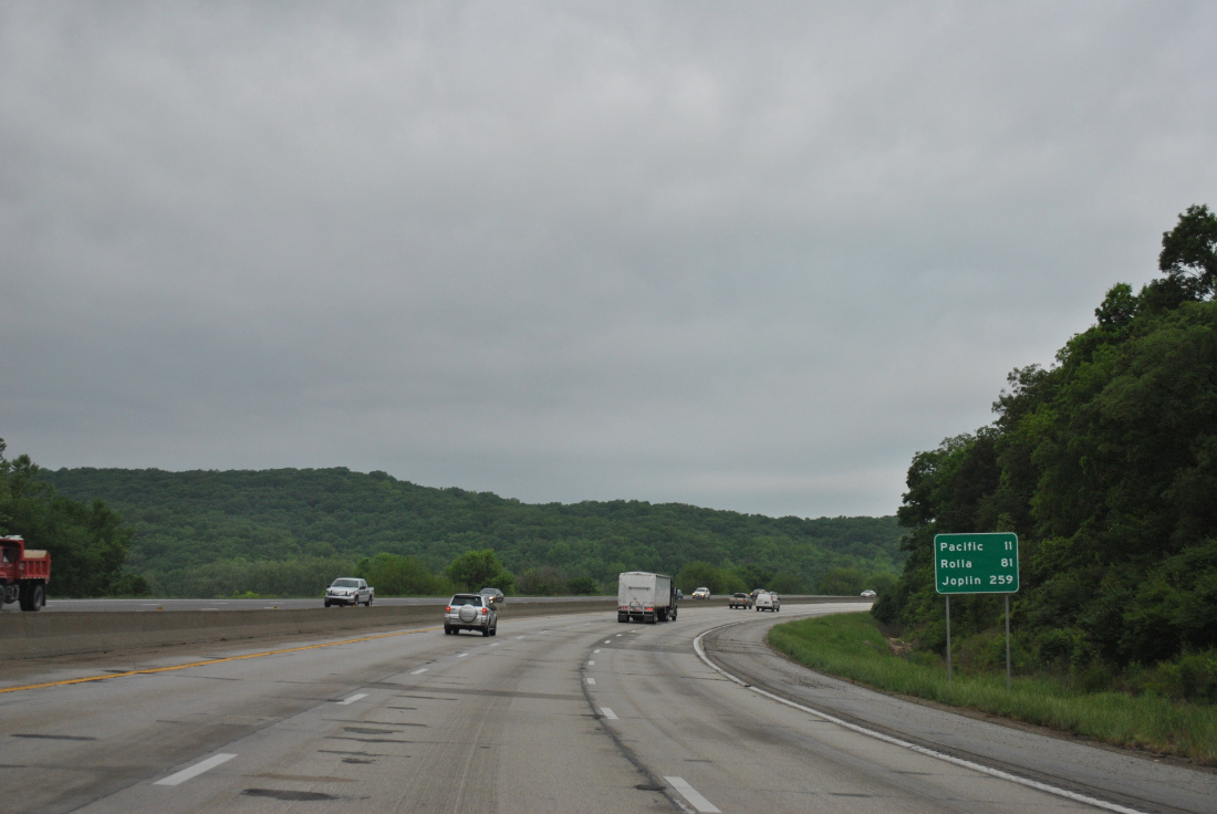
Joplin appears for the first time on Interstate 44 signs at 259 miles to the west. The city in southwestern Missouri will not reappear for quite some distance as Springfield becomes the default control city.
05/04/12
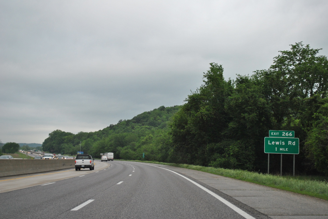
A diamond interchange (Exit 266) with Lewis Road precedes the Meramec River to connect Interstate 44 & U.S. 50 with Historic U.S. 66 (and old U.S. 50) west along Outer Road West.
05/04/12
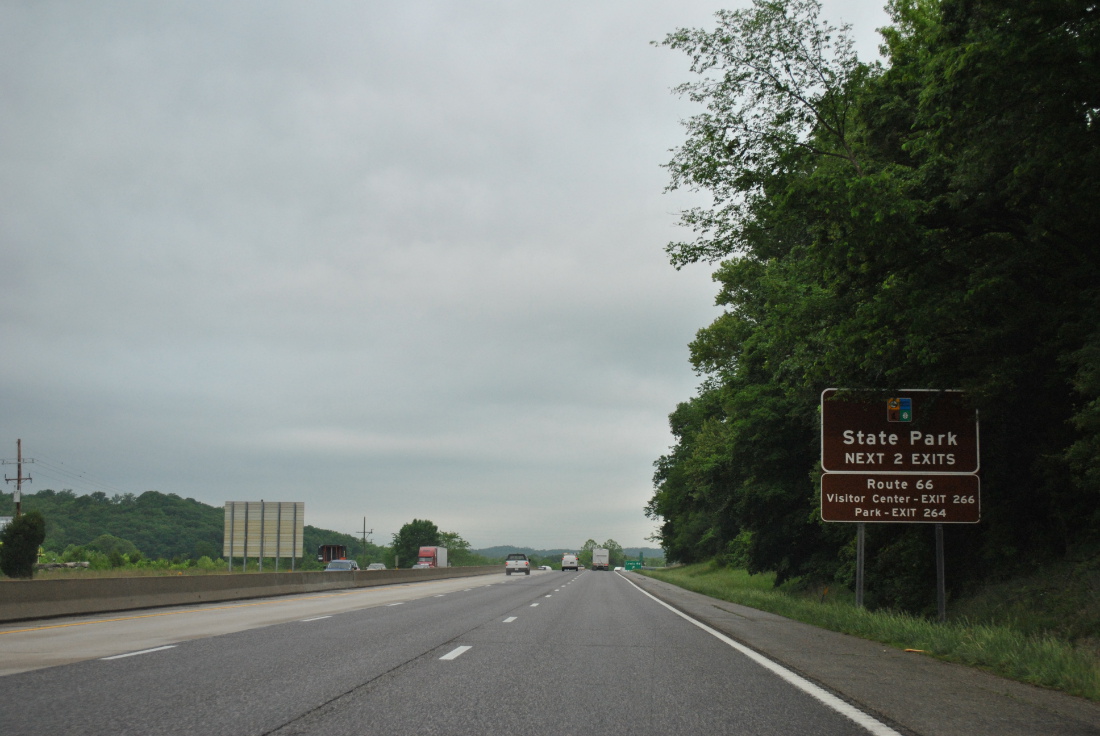
Route 66 State Park lies along Historic U.S. 66 west of the Meramec River and north of Interstate 44 & U.S. 50 between Exits 266 and 264. The 419-acre park was established in 1997 after clean up of the site of Times Beach. Time Beach was a community along the west side of the Meramec River. The entire town was contaminated with dioxin, which was mixed with oil and sprayed on gravel roads in Times Beach during the early 1970s to reduce dust. The toxic byproduct spread throughout town due to flood waters in 1982, resulting in condemnation of area homes and buildings and a federal buyout of remaining residents.3
05/04/12
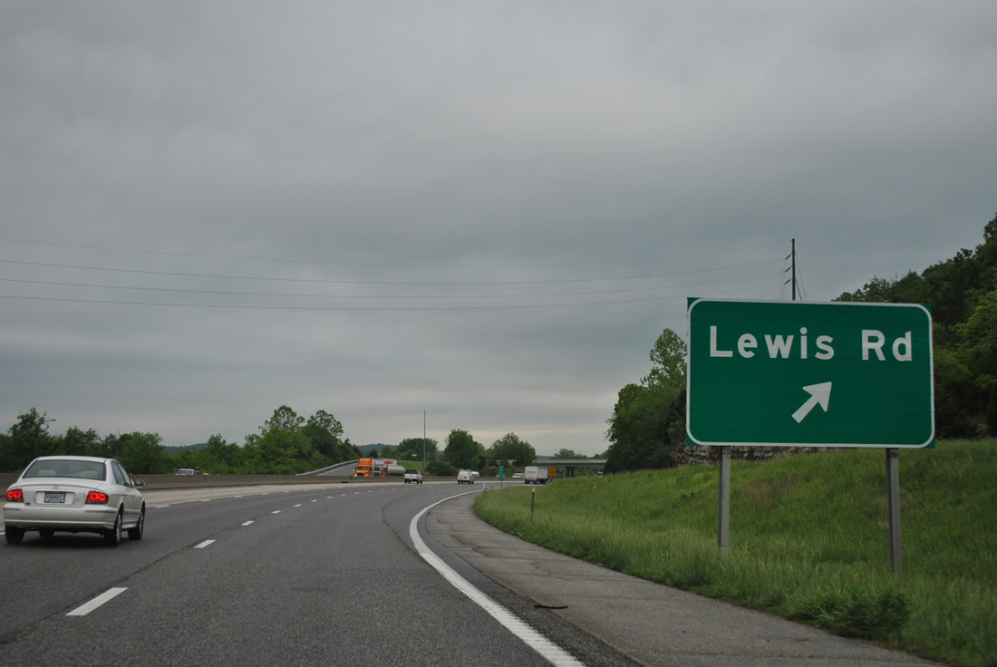
Exit 266 leaves Interstate 44 & U.S. 50 west for Lewis Road north to Crescent and Historic U.S. 66 (Outer Road West) to Route 66 State Park.
05/04/12
References:
- Chrysler's St. Louis Plants (Fenton, Missouri) - allpar.com
- "Last link of Highway 141 in west St. Louis County to open this weekend." St. Louis Post-Dispatch, July 13, 2012.
- The Tyson Valley Area - Conor Watkins' Ozark Mountain Experience
Photo Credits:
- ABRoads: 05/04/12
Connect with:
Page Updated Wednesday June 25, 2025.