
Interstate 49 North - Natchitoches to Stonewall

The city of Natchitoches was the first permanent settlement within the Louisiana Purchase. Founded in 1714, the city began as a trading post along the Red River near a village of Natchitoches Indians. Several plantations sprung up along the river, fueling the growth of the city. However as time progressed the Red River changed its course, shifting eastward away from the city. What was the river became Cane River Lake, a body of water stretching from Downtown to the plantations.1
Natchitoches is known as the "City of Lights". During the Christmas season the annual "Turn on the Holidays!" celebration takes place. Began in 1927 with the stringing of lights along Front Street, the city added fireworks to the annual festivities by the 1930s. Parades and other entertainment activities followed at the popular regional event.2
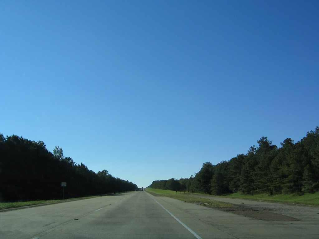
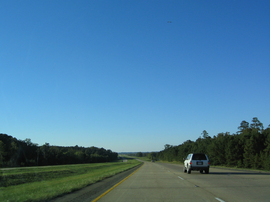
Ramp stubs remain along Interstate 49 northbound for an unbuilt rest area north of mile marker 109 and the Rapides Parish line.
10/18/03
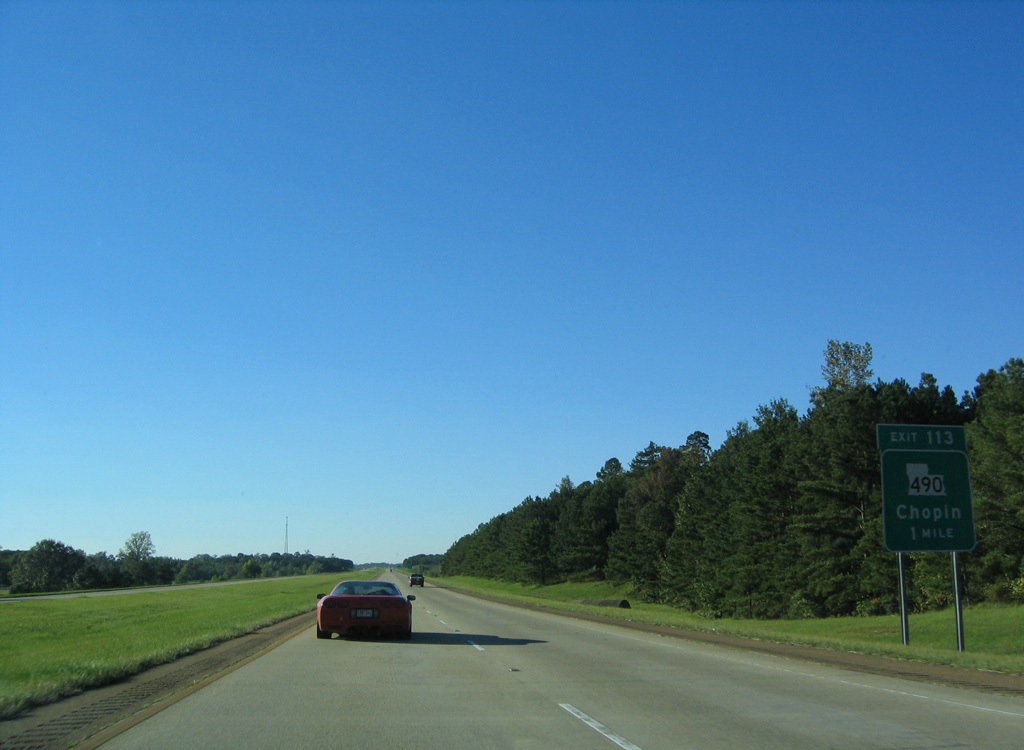
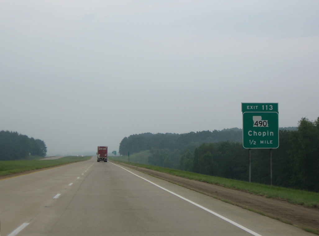
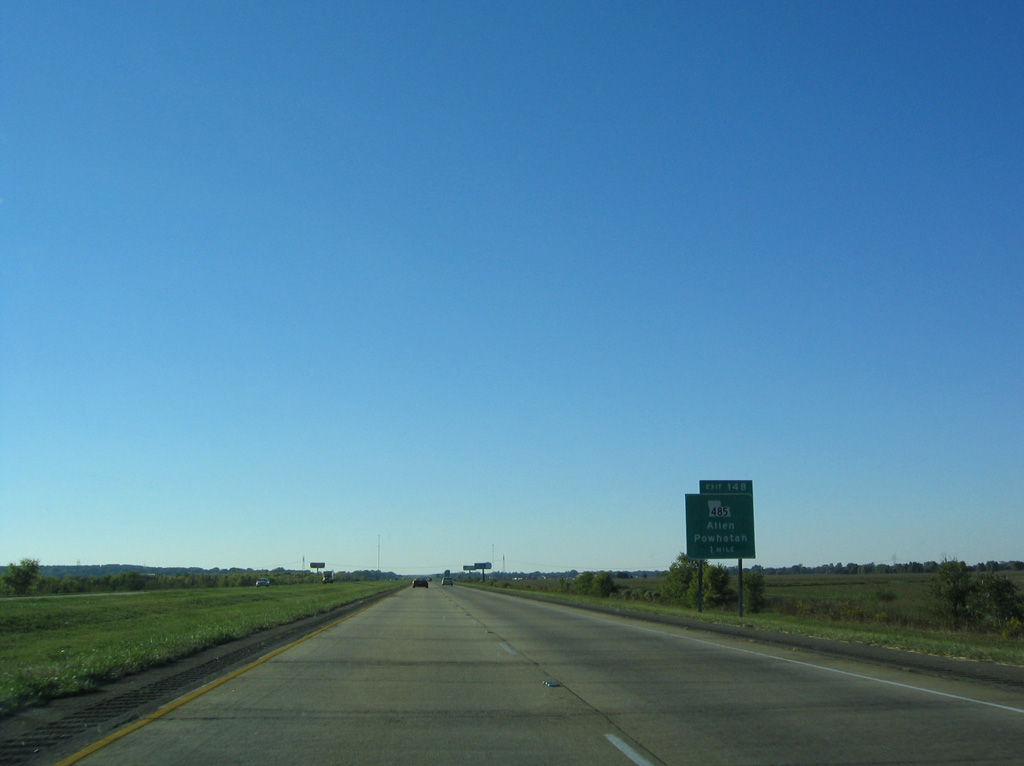
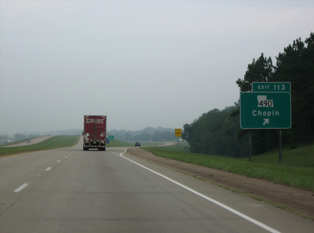
LA 490 meets Interstate 49 at Exit 113 and the unincorporated community of Chopin in one mile.
10/18/03
LA 490 spurs 5.14 miles southwest from LA 1 to Parish Road 824 beyond Janie.
09/04/09
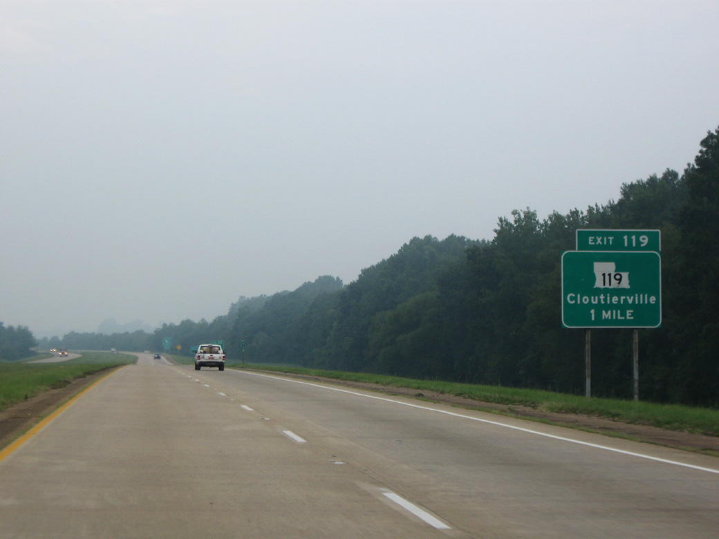
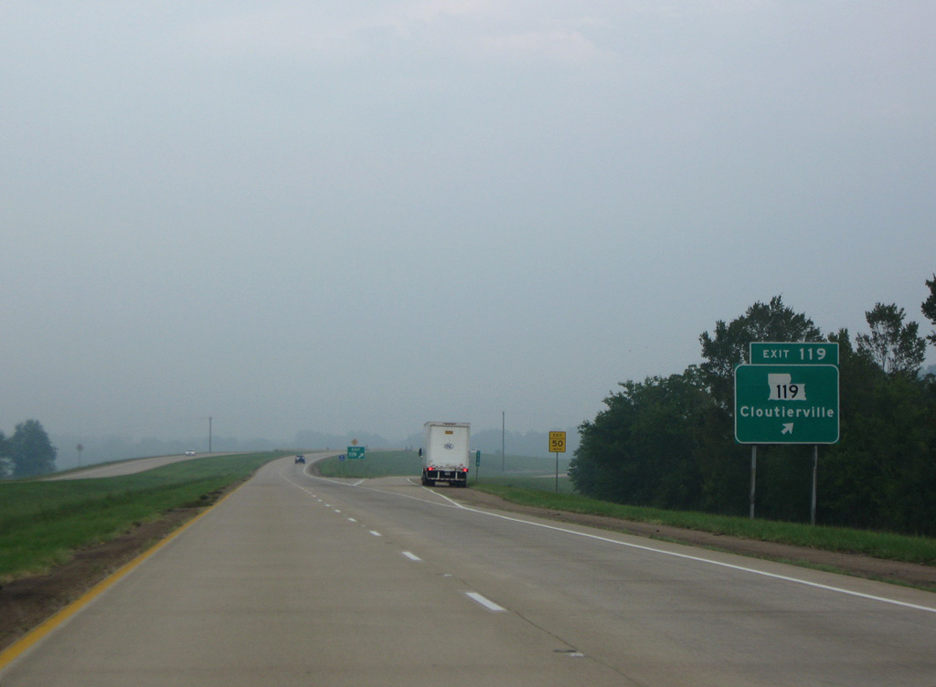
Advancing northwest, I-49 parallels a Union Pacific Railroad line ahead of the diamond interchange (Exit 119) with LA 119.
09/04/09
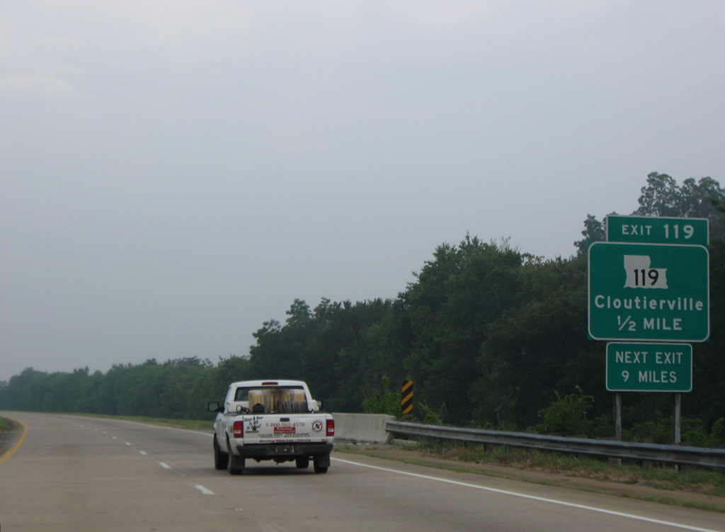
LA 119 north links I-49 with LA 1 leading east to the unincorporated community of Cloutierville.
09/04/09
Measuring 28.67 miles in length, LA 119 heads south from I-49 at Derry to LA 8 at Flatwoods and north to LA 1 in the village of Natchez.
09/04/09
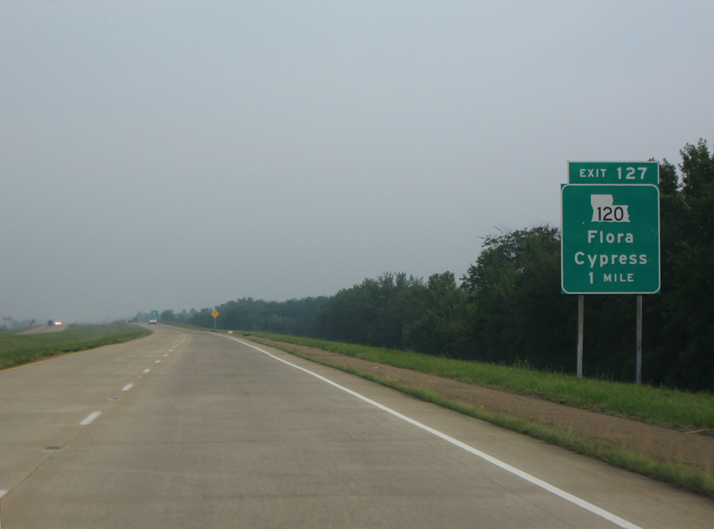
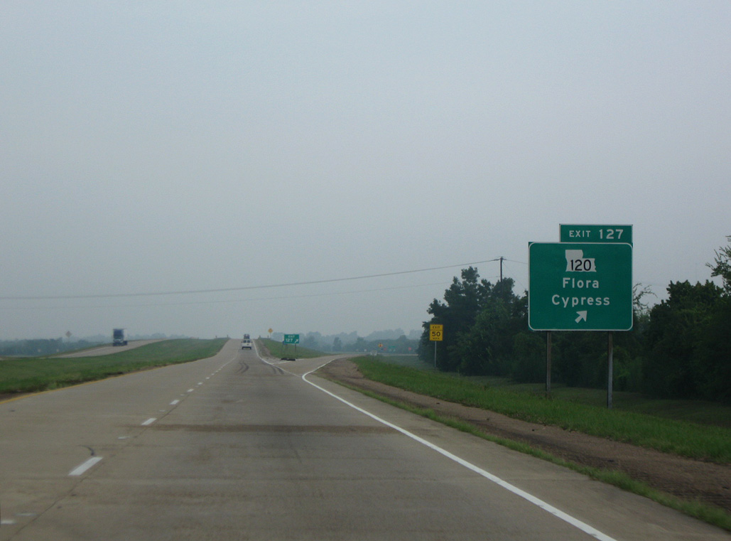
Interstate 49 shifts west ahead of Exit 127 along the Old River to Kisatchie Bayou and the boundary of Kisatchie National Forest.
09/04/09
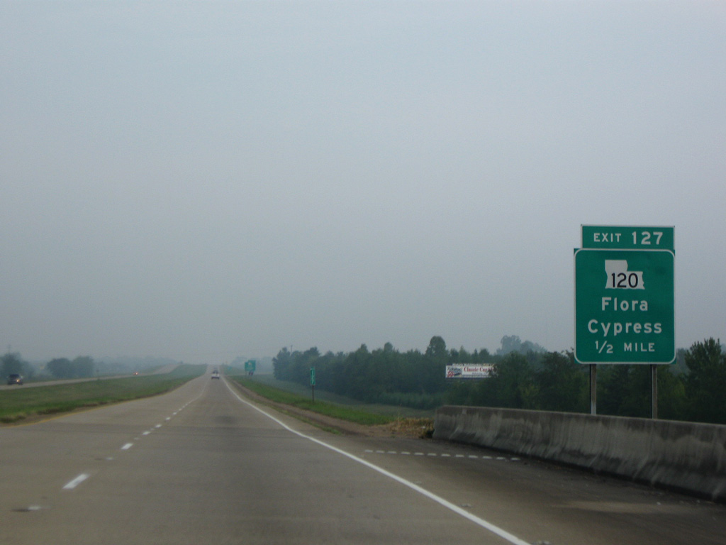
LA 120 crosses I-49 at a rural diamond interchange (Exit 127) west from Cypress and east from the unincorporated community of Flora.
09/04/09
LA 120 runs 11.08 miles west from nearby LA 1 to LA 117 (Pine Street) the village of Provencal.
09/04/09
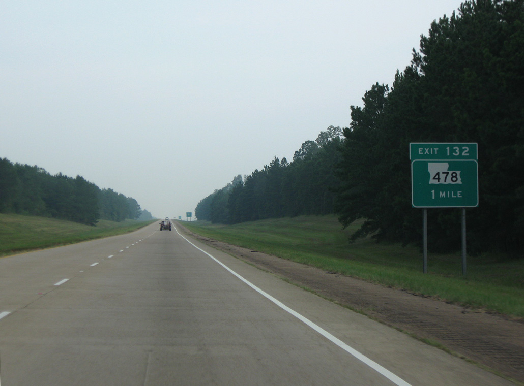
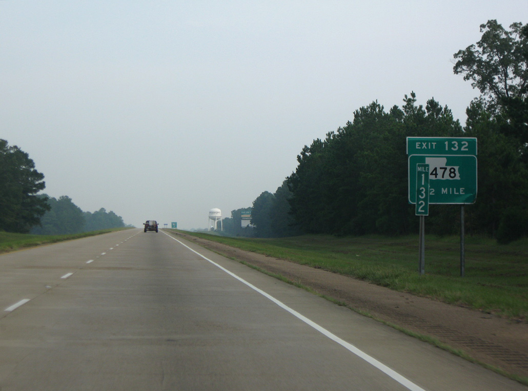
LA 478 runs north from LA 120 at Flora to the diamond interchange at Exit 132.
09/04/09
20.94 miles in length, LA 478 travels southwest from LA 1 in Natchitoches to Kisatchie Natonal Forest and west to Vowells Mill at Red Rock Road.
09/04/09
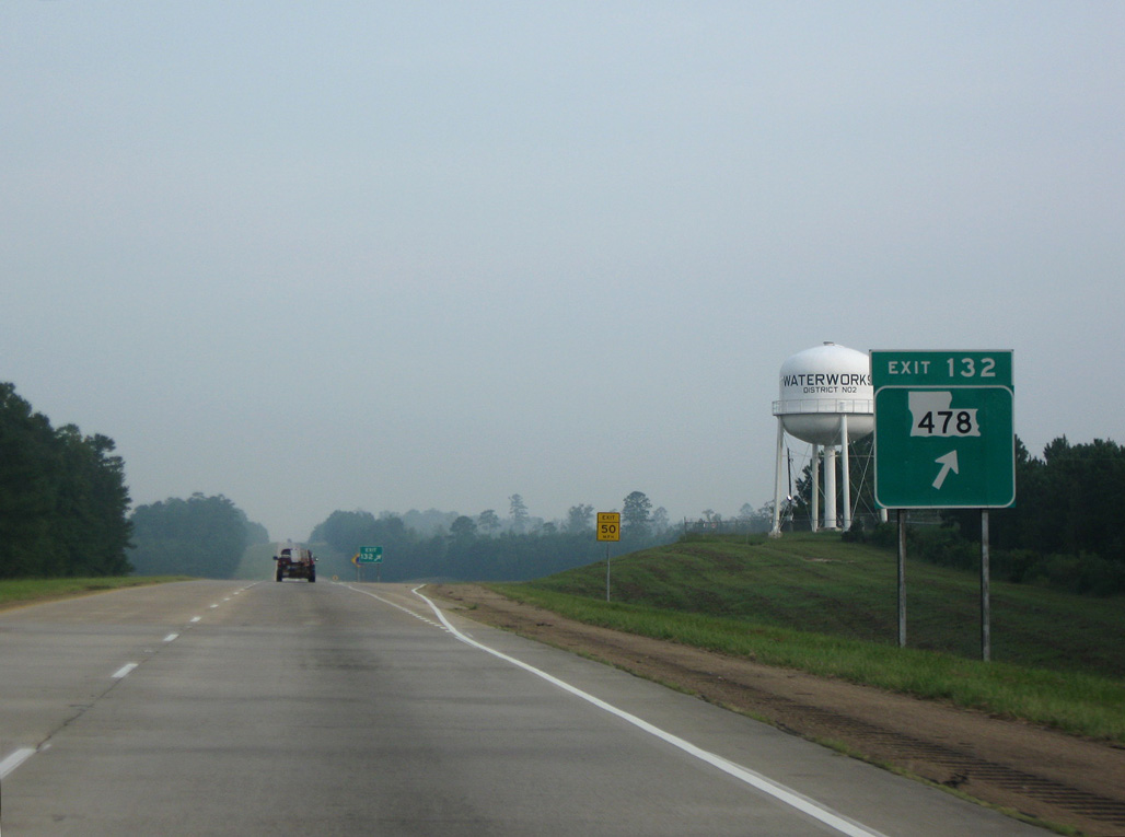
Interstate 49 north enters the Natchitoches city limits at Exit 132.
09/04/09
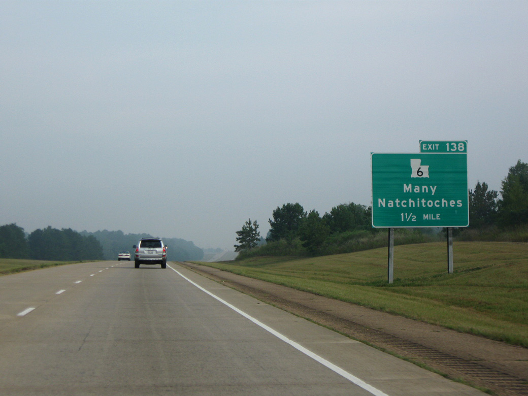
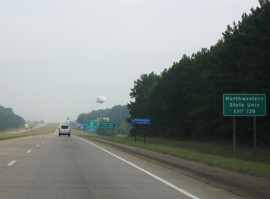
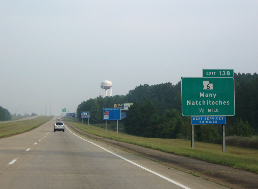
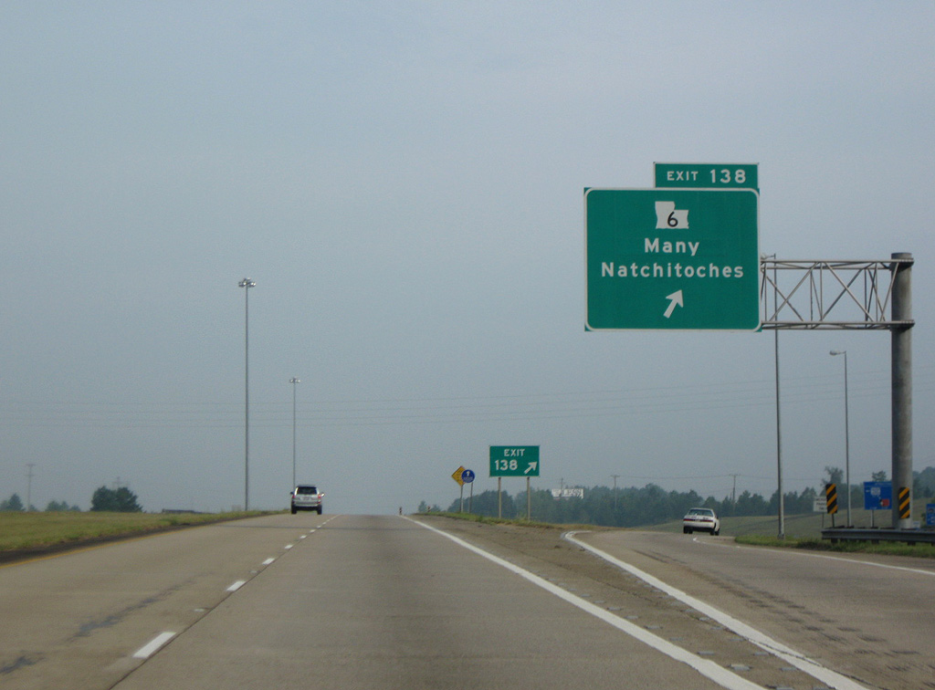
The succeeding exit along Interstate 49 north is for LA 6 (University Parkway) in west Natchitoches.
09/04/09
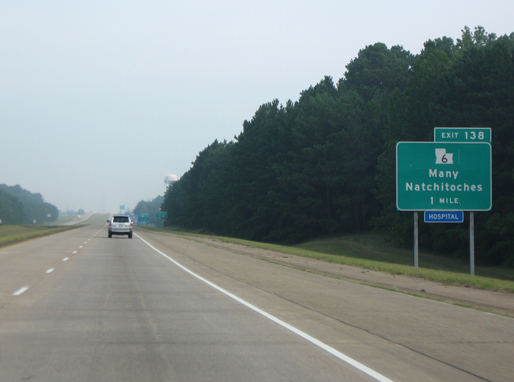
West from Natchitoches, LA 6 leads 41.50 miles to U.S. 171 at the town of Many and Texas Highway 21 across Toledo Bend Reservoir.
09/04/09
LA 6 expands to four lanes east along University Parkway 3.80 miles to LA 1 and LA 6 Business by Sibley Lake and Northwestern State University.
09/04/09
LA 6 circumvents Natchitoches to the west along Sibley Lake with LA 1 while LA 6 Business follows Cane River Lake north into Downtown.
09/04/09
LA 6 crosses the Red River north of Natchitoches and concludes to the east at U.S. 71/84 in the village of Clarence.
09/04/09
A long straight away takes Interstate 49 north from LA 6 across Youngs Bayou and Lost Bayou west of Sibley Lake.
10/18/03
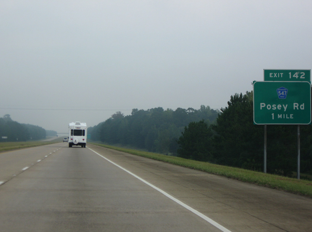
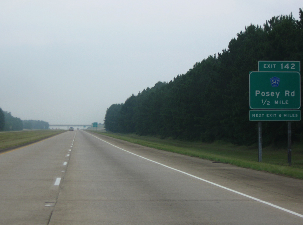
A rural diamond interchange joins Interstate 49 north with Parish Route 547 (Posey Road) at Exit 142.
09/04/09
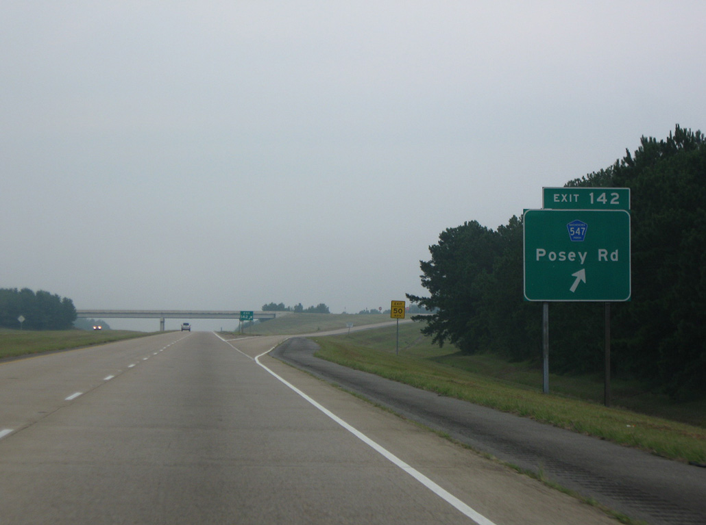
Posey Road runs 8.80 miles southwest from Johnson Chute Road (PR 441) to become LA 1222 north of Shady Grove.
09/04/09
Interstate 49 turns northwest across the Old Spanish Lake Lowlands and Red River National Wildlife Refuge on the ensuing stretch.
10/18/03
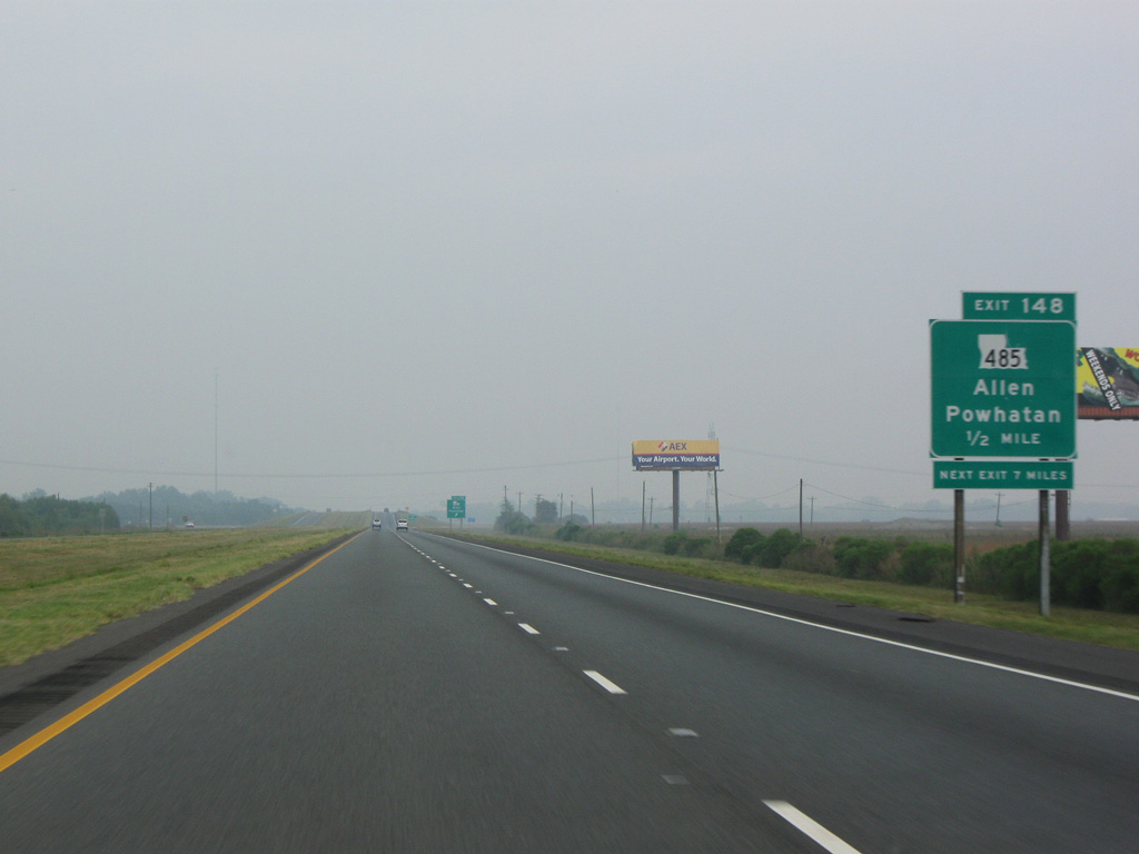
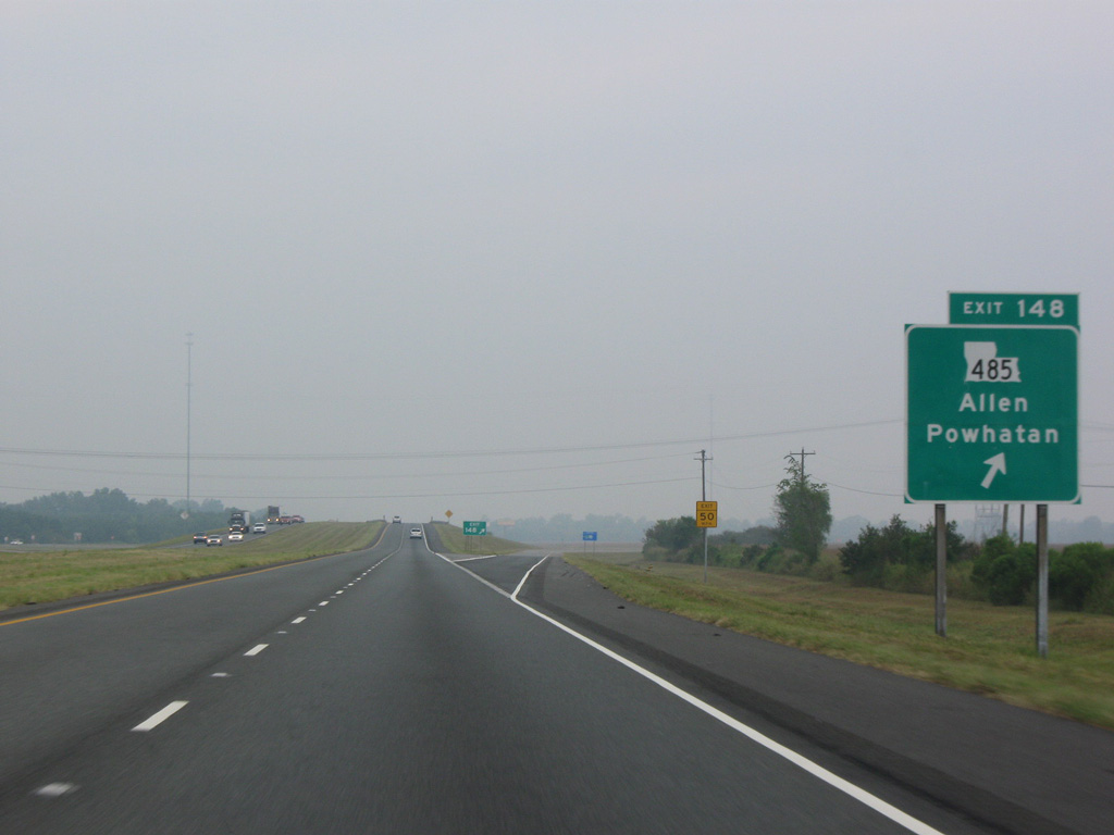
LA 485 meets Interstate 49 at a diamond interchange (Exit 148) by the unincorporated community of Allen.
10/18/03
The 16.89 mile long route of LA 485 heads south from Exit 148 to LA 6 outside th village of Robeline and east from I-49 to LA 1 in the village of Powhatan.
09/04/09
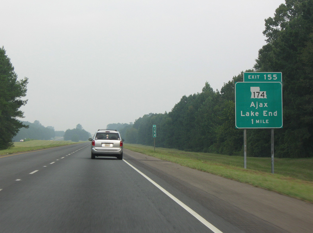
Interstate 49 converges with LA 174 at Exit 155 west of King Hill.
09/04/09
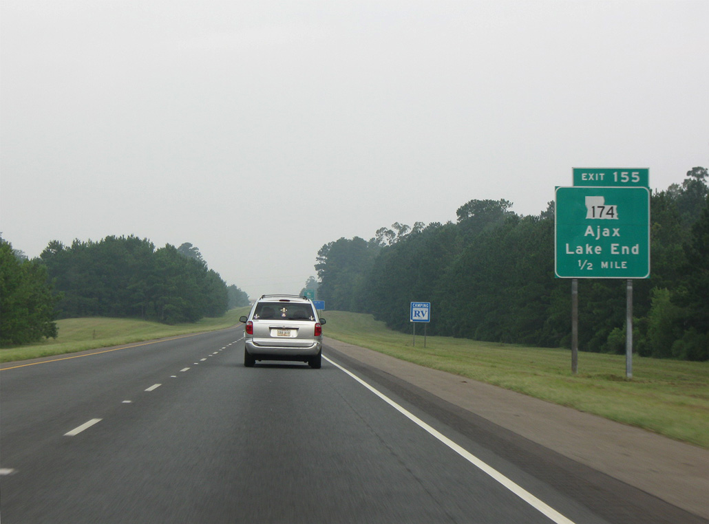
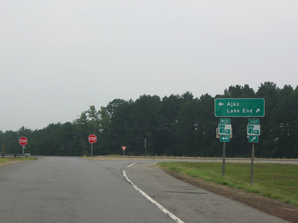
LA 174 runs 4.8 miles northeast to LA 1 at the settlement of Lake End in Red River Parish.
09/04/09
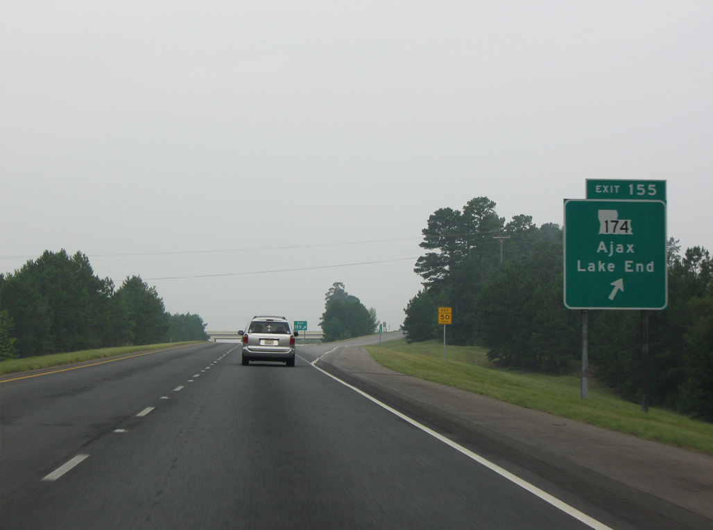
The rural community of Ajax lies 1.3 miles west of I-49 along LA 174 at LA 487.
09/04/09
Traveling 31.80 miles overall, LA 174 extends west from Lake End to Pleasant Hill, Converse and LA 191 near Toledo Bend Reservoir.
09/04/09
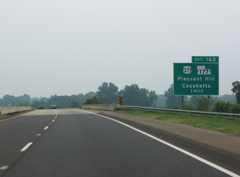
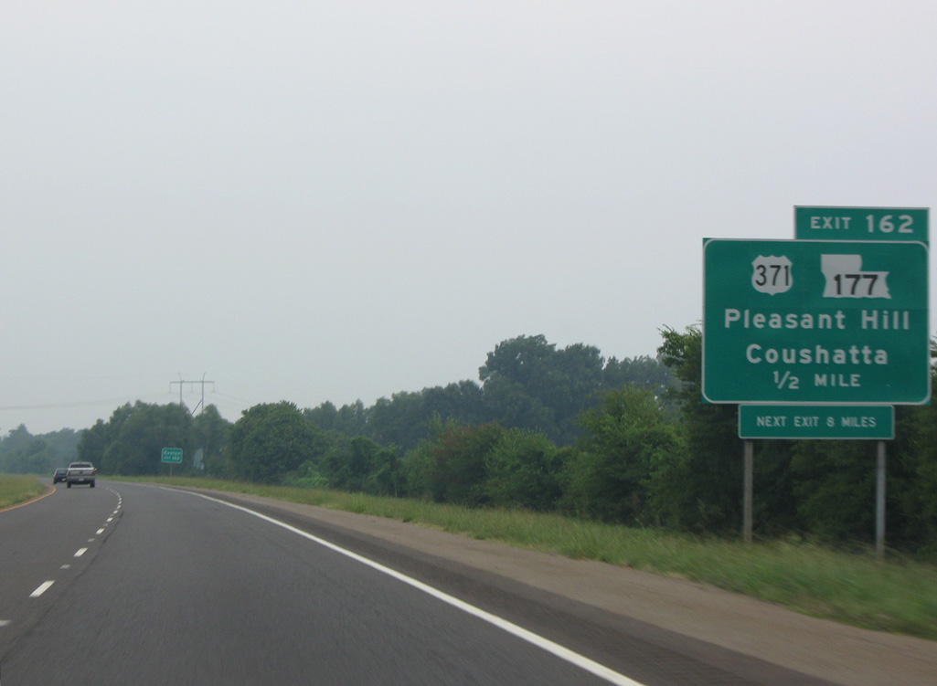
Continuing north into DeSoto Parish, I-49 crosses Dolet Bayou twice ahead of the diamond interchange (Exit 162) with U.S. 371 north and LA 177.
09/04/09
U.S. 371 was established between Coushatta and DeQueen, Arkansas in 1994. The route was extended southwest from U.S. 71 to I-49 at Exit 162 in 2001.3
09/04/09
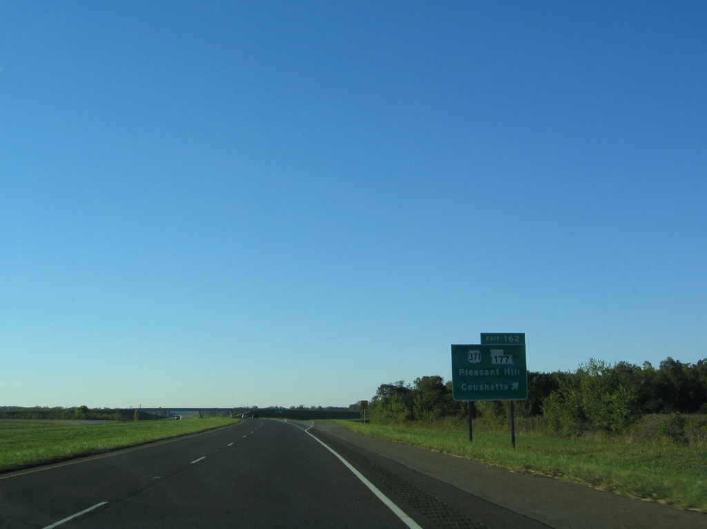
LA 177 travels 10.91 miles south from I-49/U.S. 371 to LA 175 north of the Sabine Parish village of Pleasant Hill.
10/18/03
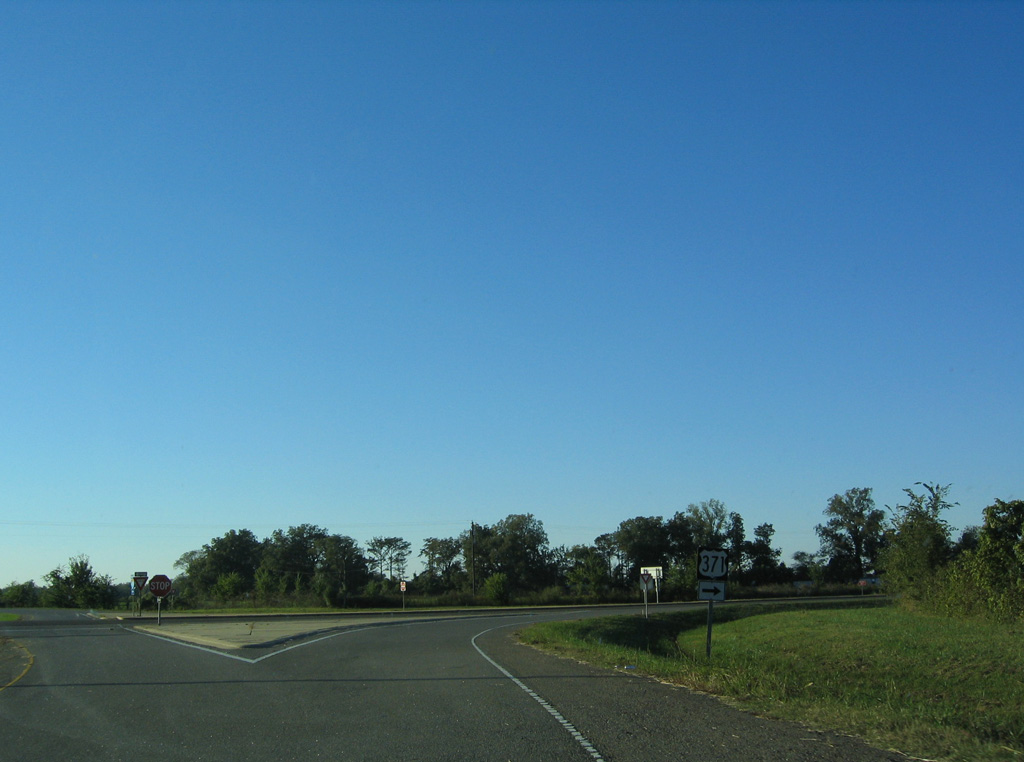
U.S. 371 overlaps with LA 177 north from Exit 162 to Evelyn and into Red River Parish west of U.S. 84/LA 1 at Armistead.
10/18/03

Interstate 49 curves northwest to the rural diamond interchange (Exit 169) with Asseff Road.
09/04/09
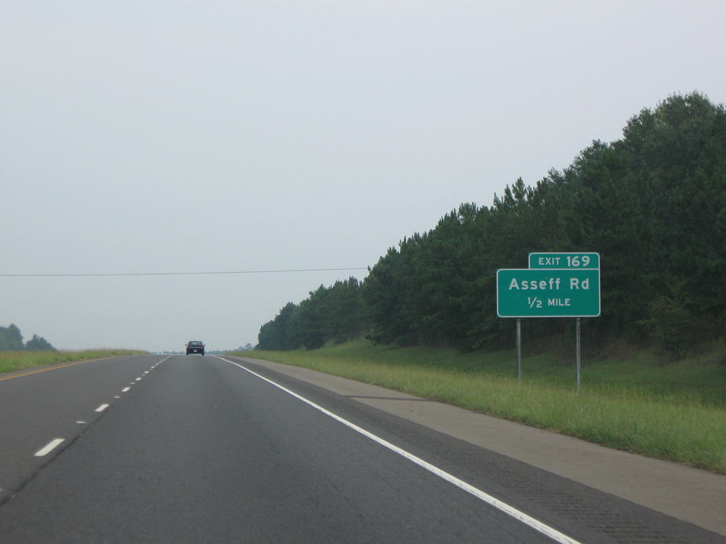
Asseff Road loops 3.70 miles south from Baborton Cutoff to LA 510.
09/04/09
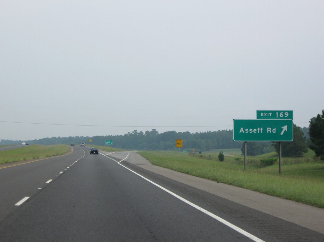
Asseff Road west to Naborton Cutoff leads to Dolet Hills Power Station and the community of Naborton. Naborton was named after John Nabor, a plantation owner.
09/04/09
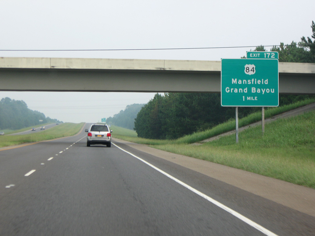
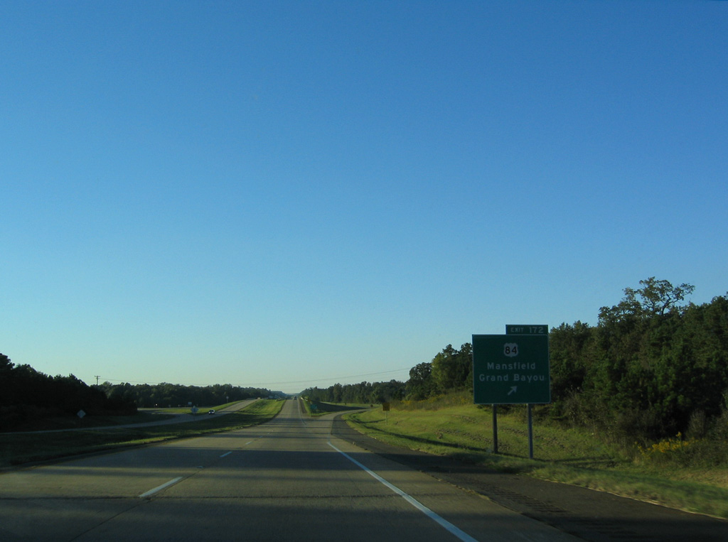
U.S. 84 crosses Interstate 49 at a diamond interchange (Exit 172) by the settlement of Goss.
09/04/09
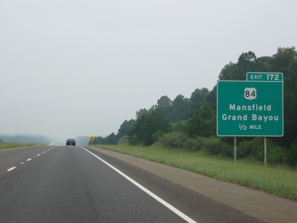
U.S. 84 separates from LA 1 at Grand Bayou, 5.6 miles east of I-49. West from Exit 172, U.S. 84 continues seven miles into the DeSoto Parish seat of Mansfield.
09/04/09
U.S. 84 travels west to the Texas line Logansport north of Toledo Bend Reservoir. U.S. 84 east overlaps with U.S. 71 south from Coushatta to Clarence.
10/18/03
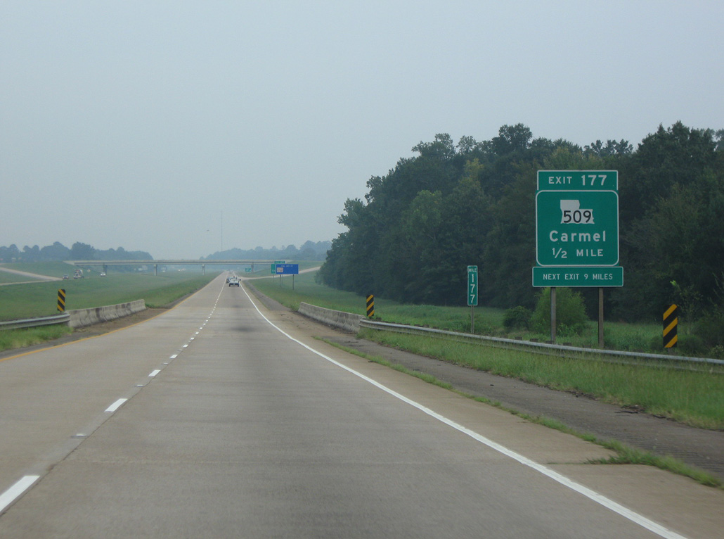
I-49 spans Siphorien Bayou just east of Smithport Lake and south of the diamond interchange (Exit 177) with LA 509.
09/04/09
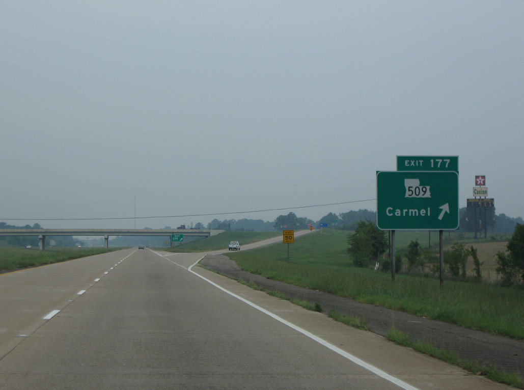
Measuring 16.36 miles in length, LA 509 crosses Smithport Lake east to LA 1 near Westdale. Southwest from Exit 177, LA 509 leads to Carmel and LA 175 in the city of Mansfield.
09/04/09
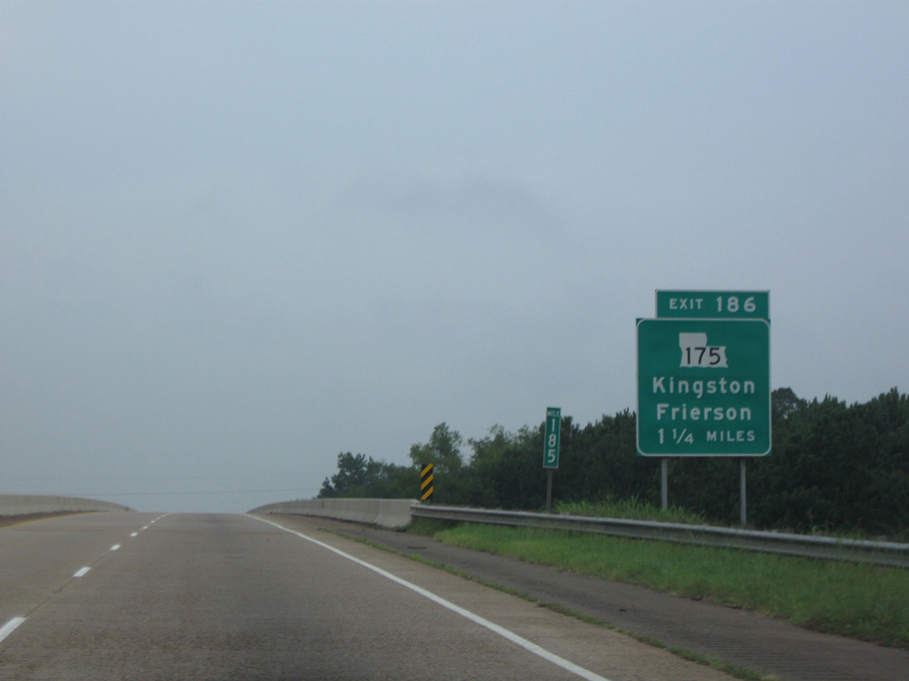
Interstate 49 elevates across a viaduct spanning a Kansas City Southern Railroad line 1.25 miles south of Exit 186 to LA 175.
09/04/09
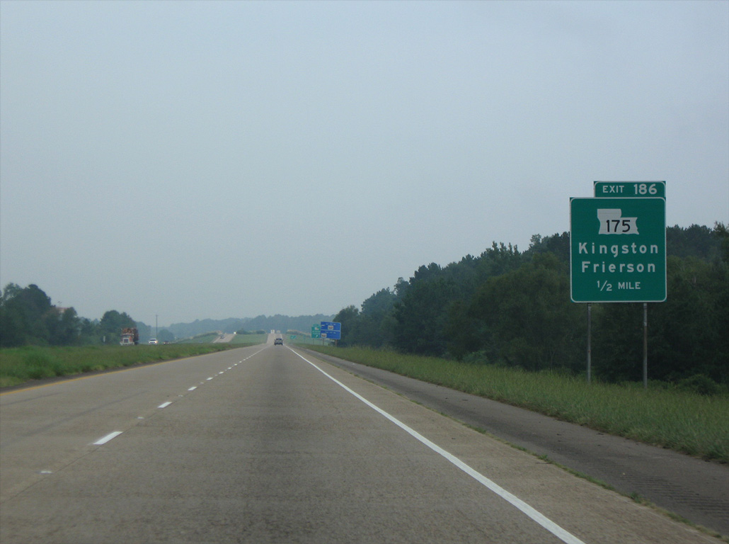
LA 175 converges with Interstate 49, 2.4 miles north of unincorporated Kingston.
09/04/09
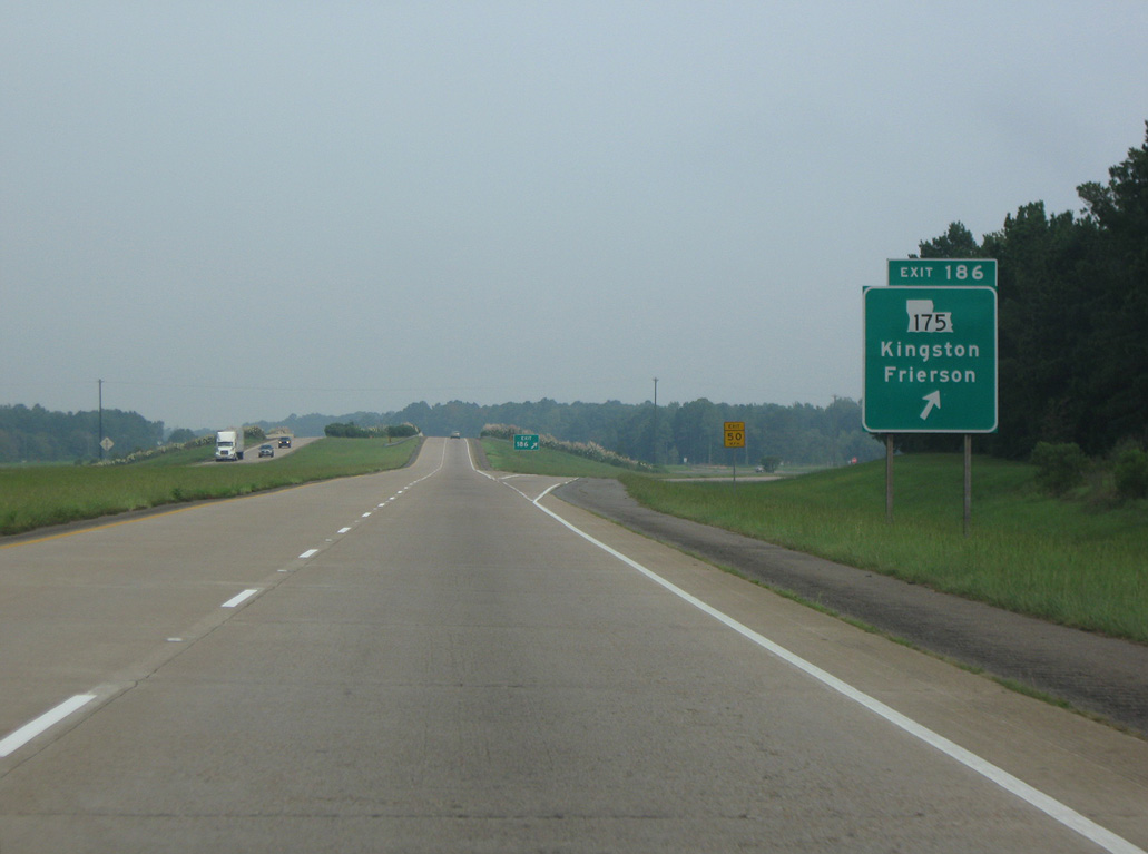
Exit 186 departs I-49 north for LA 175 south to LA 5 at Kingston and north to Frierson.
09/04/09
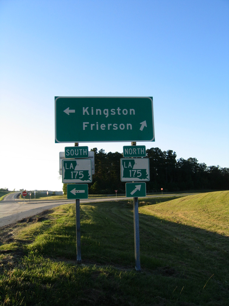
LA 175 is a 63.96 mile long highway south to U.S. 171 outside Many and northeast to LA 1 near Gayles.
10/18/03
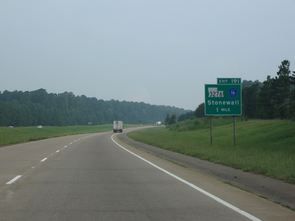
LA 3276 east and Parish Route 16 west come together at the succeeding exit along Interstate 49 northbound.
09/04/09
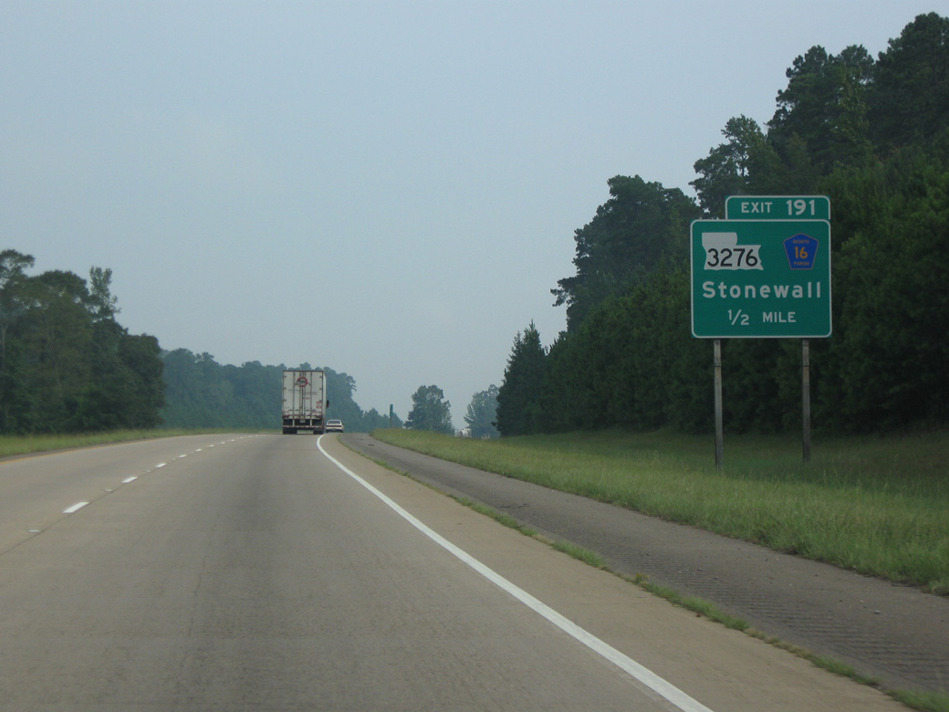
LA 3276 comprises a 4.79 mile long minor arterial west from Exit 191 across the town of Stonewall to U.S. 171 at Stonewall-Preston Road.
09/04/09
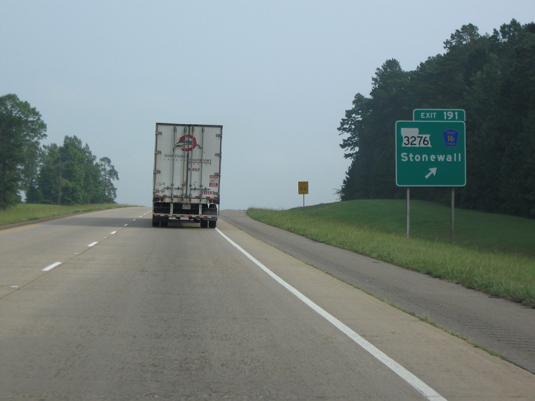
Stonewall-Frierson Road (Parish Route 16) follows part of the proposed route of LA 3276 arcing 9.85 miles northeast to LA 1 at Robson.
09/04/09

References:
- City of Natchitoches web site. http://www.ci.natchitoches.la.us
- Natchitoches Holiday History. https://www.natchitocheschristmas.com/ history Natchitoches Christmas Festival of Lights web site.
- End of US Highway 371 USEnds.com.
Photo Credits:
- AARoads: 10/18/03
- Brent Ivy: 09/04/09
Connect with:
Page Updated Wednesday June 28, 2023.