
Interstate 49/U.S. 71 North - McDonald County


 North
North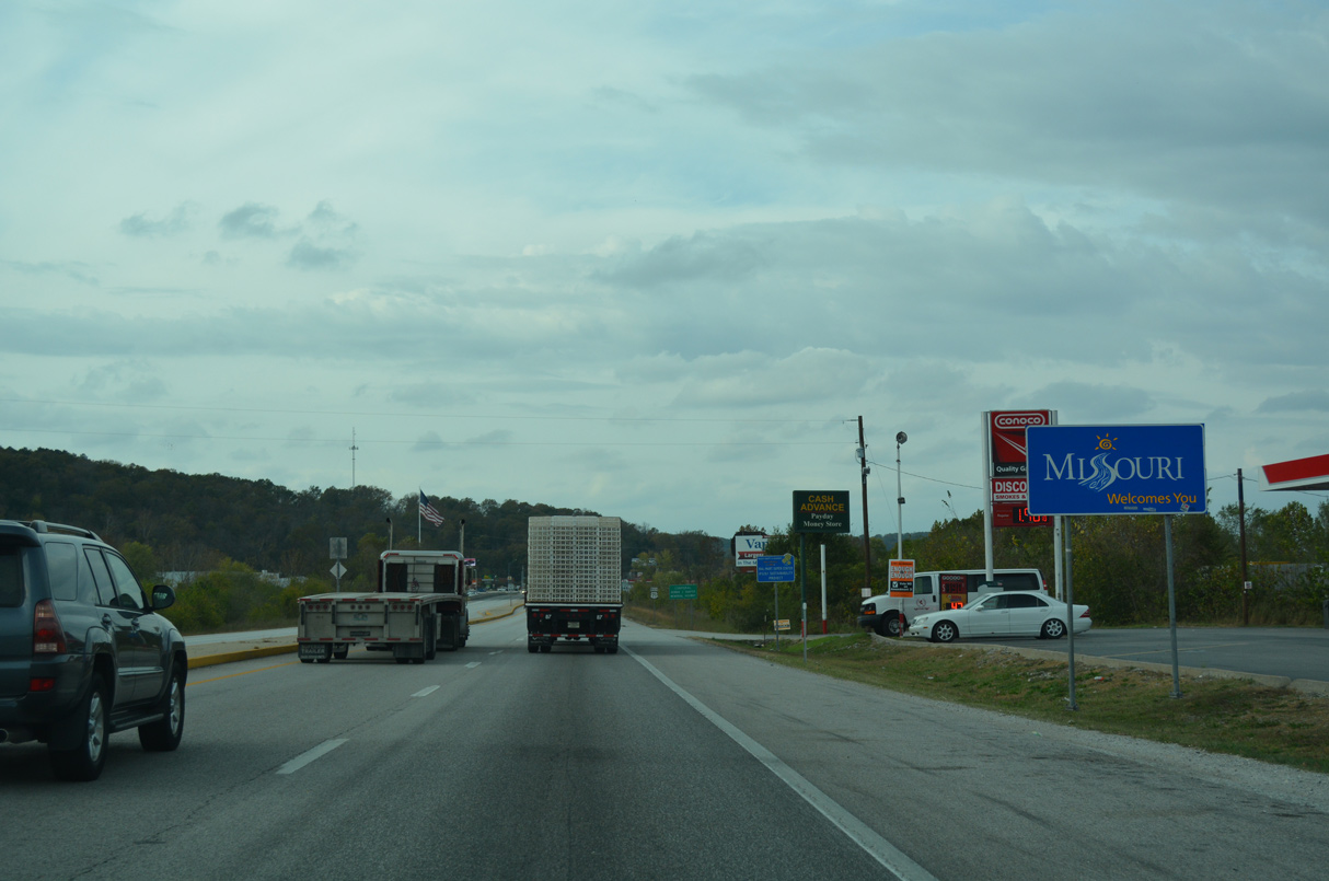
U.S. 71 enters Missouri at the unincorporated community of Caverna.
11/02/16
11/02/16
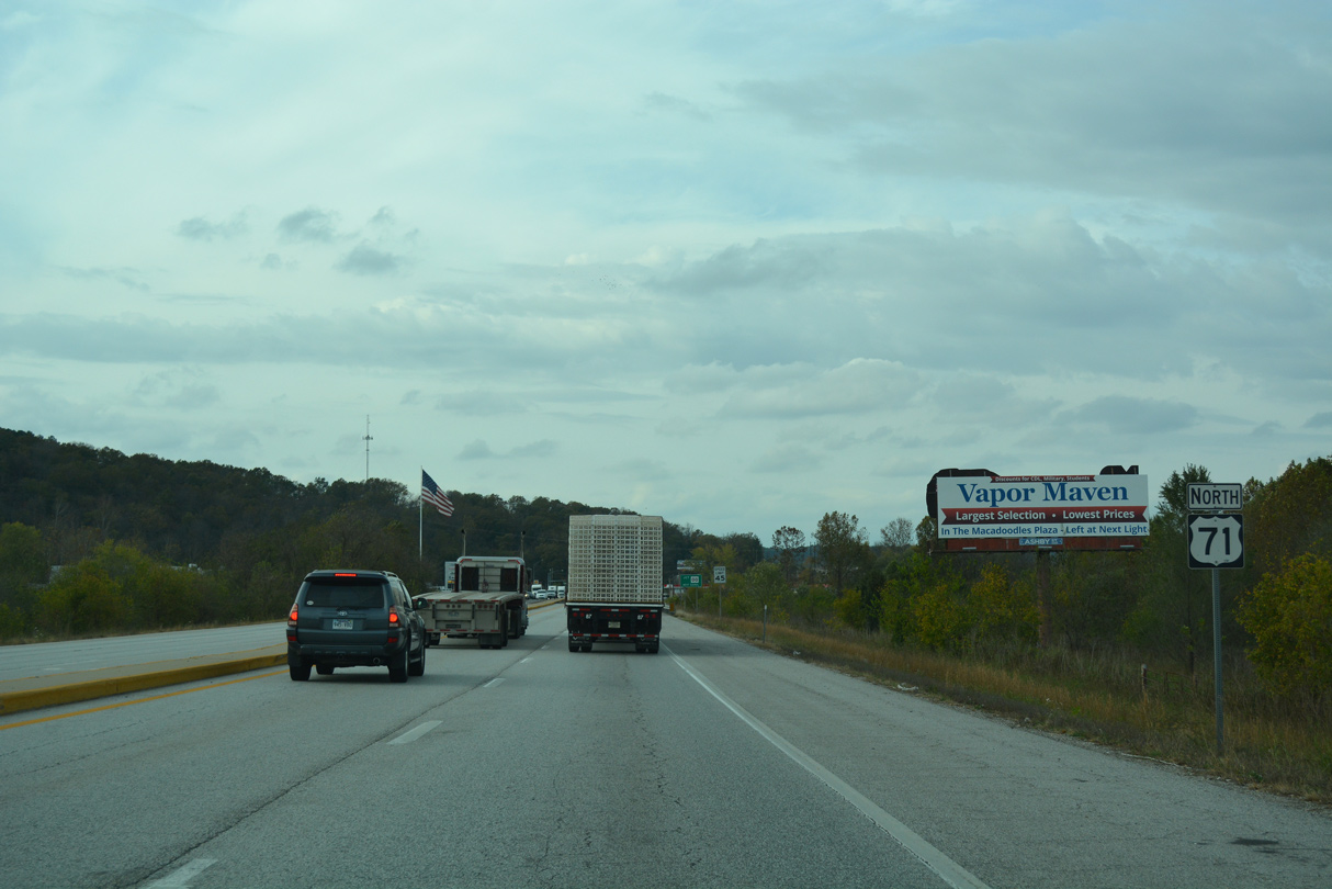
U.S. 71 crosses Little Sugar Creek beyond this reassurance marker.
11/02/16
11/02/16
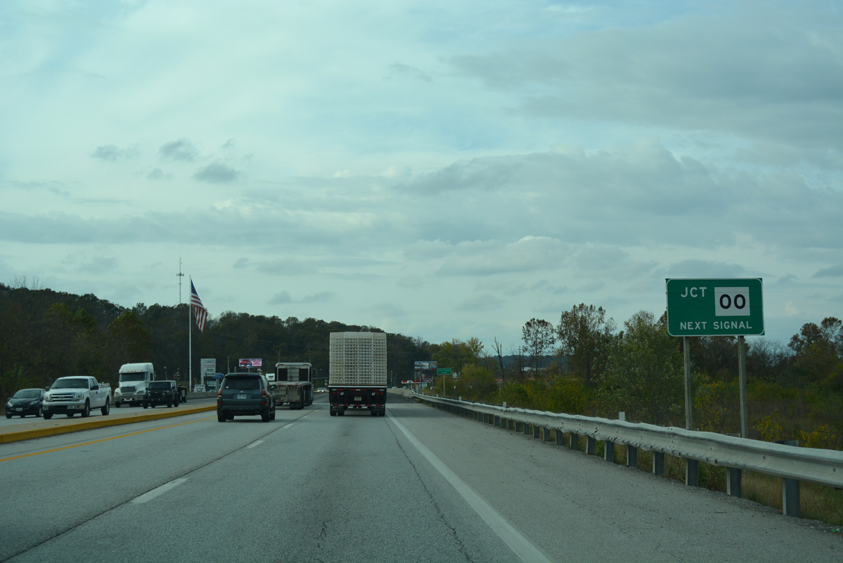
Route OO north ties into U.S. 71 at the ensuing traffic light.
11/02/16
11/02/16
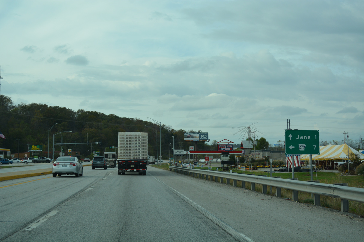
A 0.307 mile highway, Route OO links U.S. 71 with AR 279 into the city of Bella Vista. AR 279 begins at the state line, despite the reference of seven miles here.
11/02/16
11/02/16
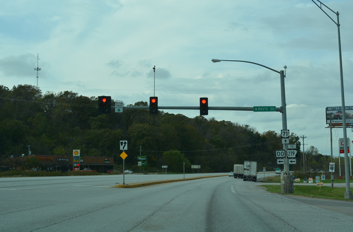
AR 279 extends south from Route OO along Forest Hills Boulevard 3.4 miles to AR 340 (Lancashire Boulevard).
11/02/16
11/02/16
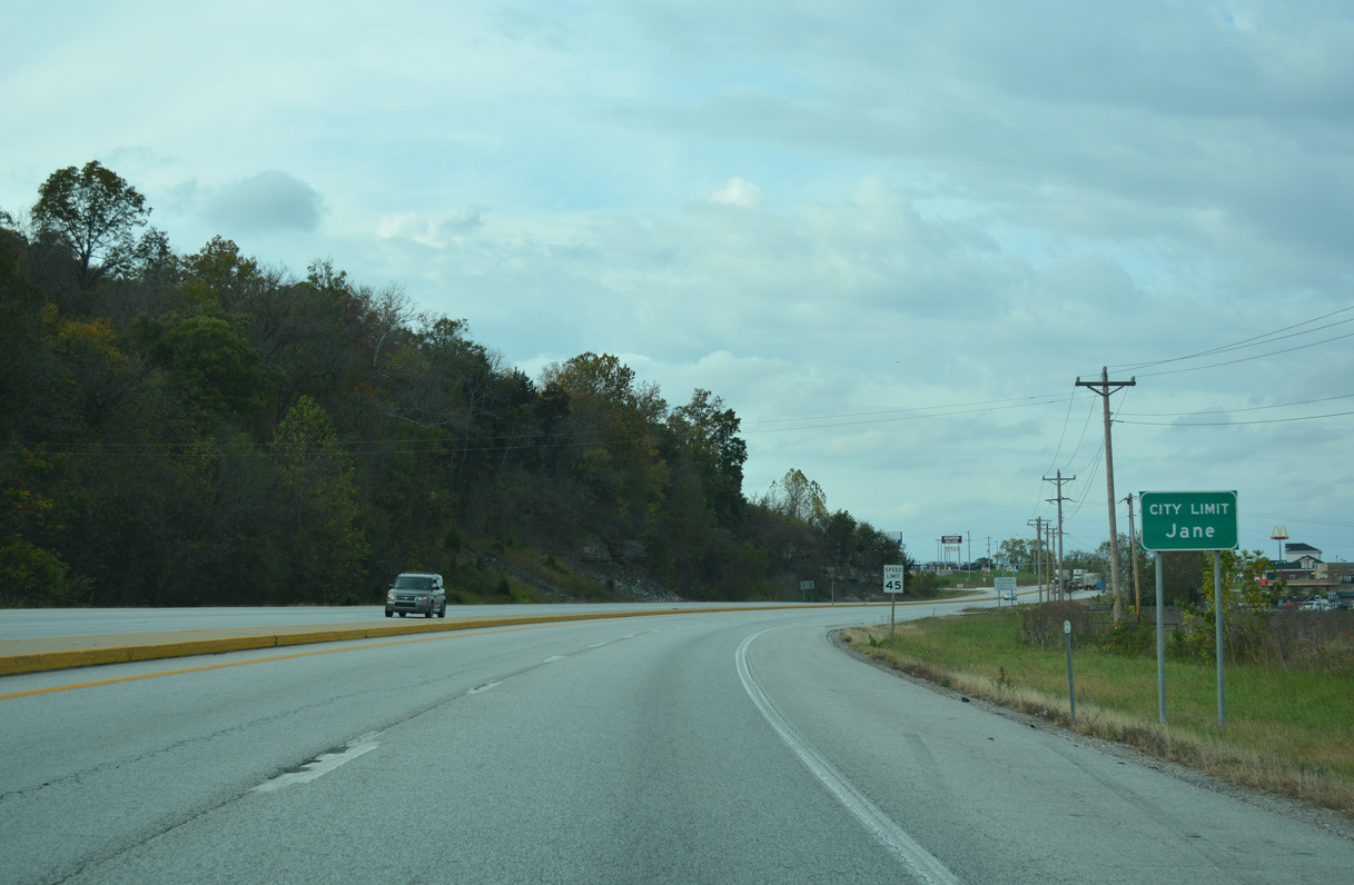
U.S. 71 proceeds north from Route OO into the village of Jane.
11/02/16
11/02/16

Gordon Hollow Road arcs southwest from U.S. 71 and Commercial Drive to Scotdsdale Drive by Scotsdale Golf Course in Bella Vista, Arkansas.
11/02/16
11/02/16
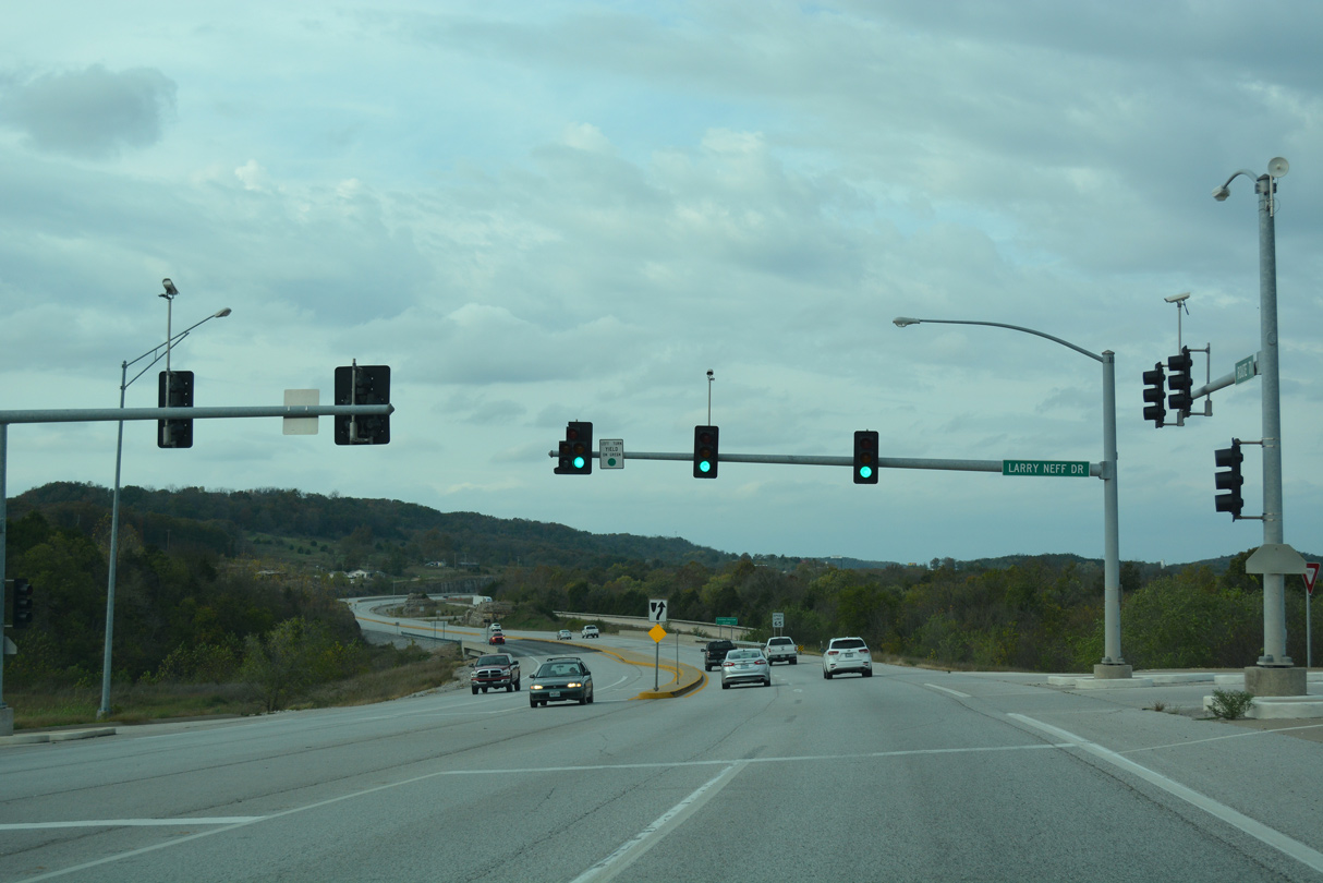
Larry Neff Drive connects U.S. 71 with parallel College Road south.
11/02/16
11/02/16
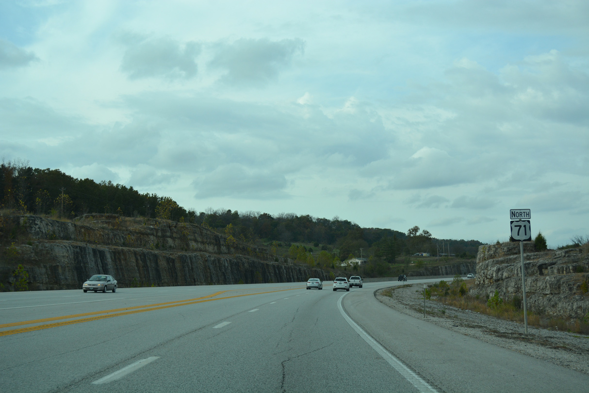
Reassurance marker posted northbound at Duncan Lane.
11/02/16
11/02/16
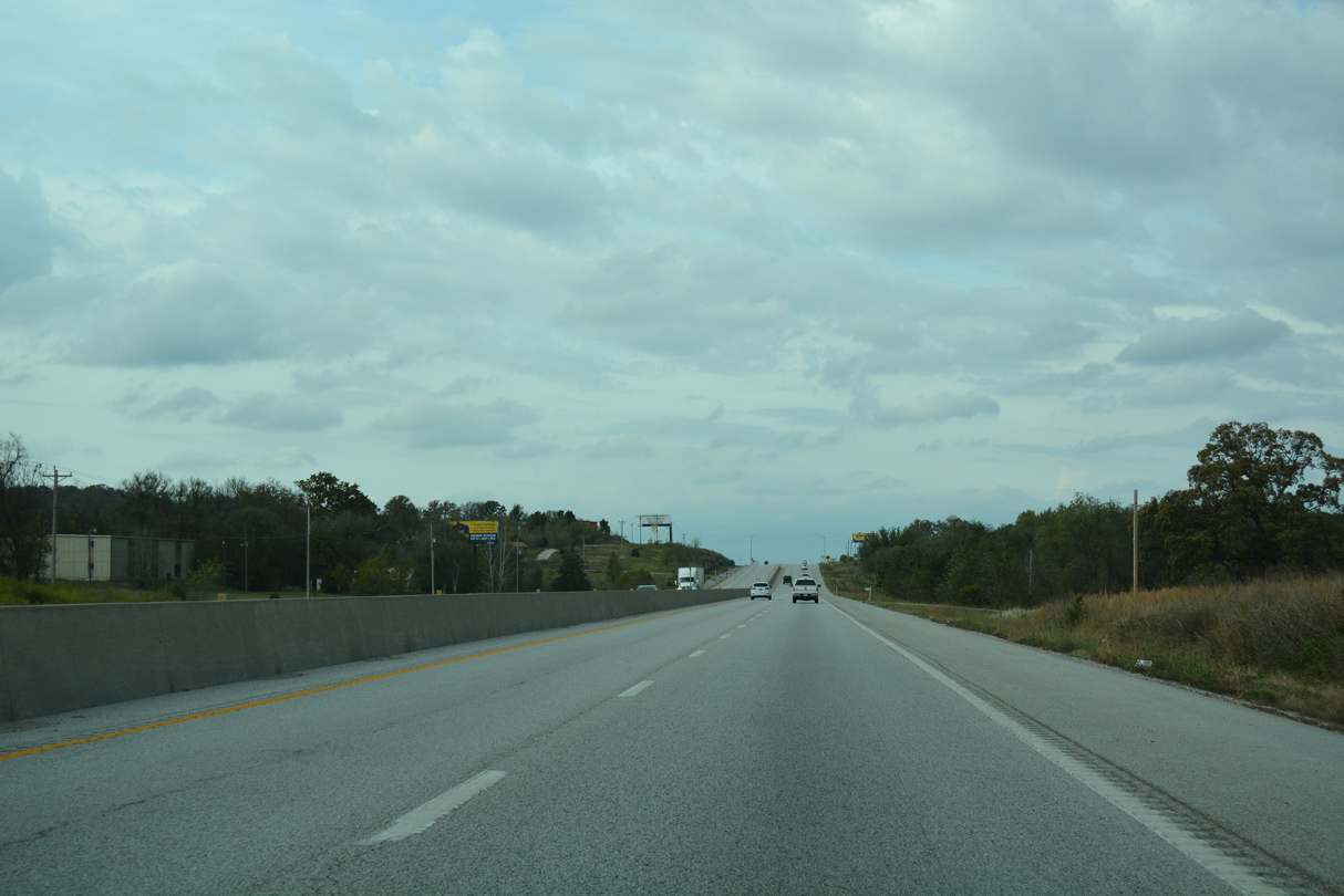
A barrier median separates traffic along U.S. 71 north to the intersection with Little Missouri Road in Jane.
11/02/16
11/02/16
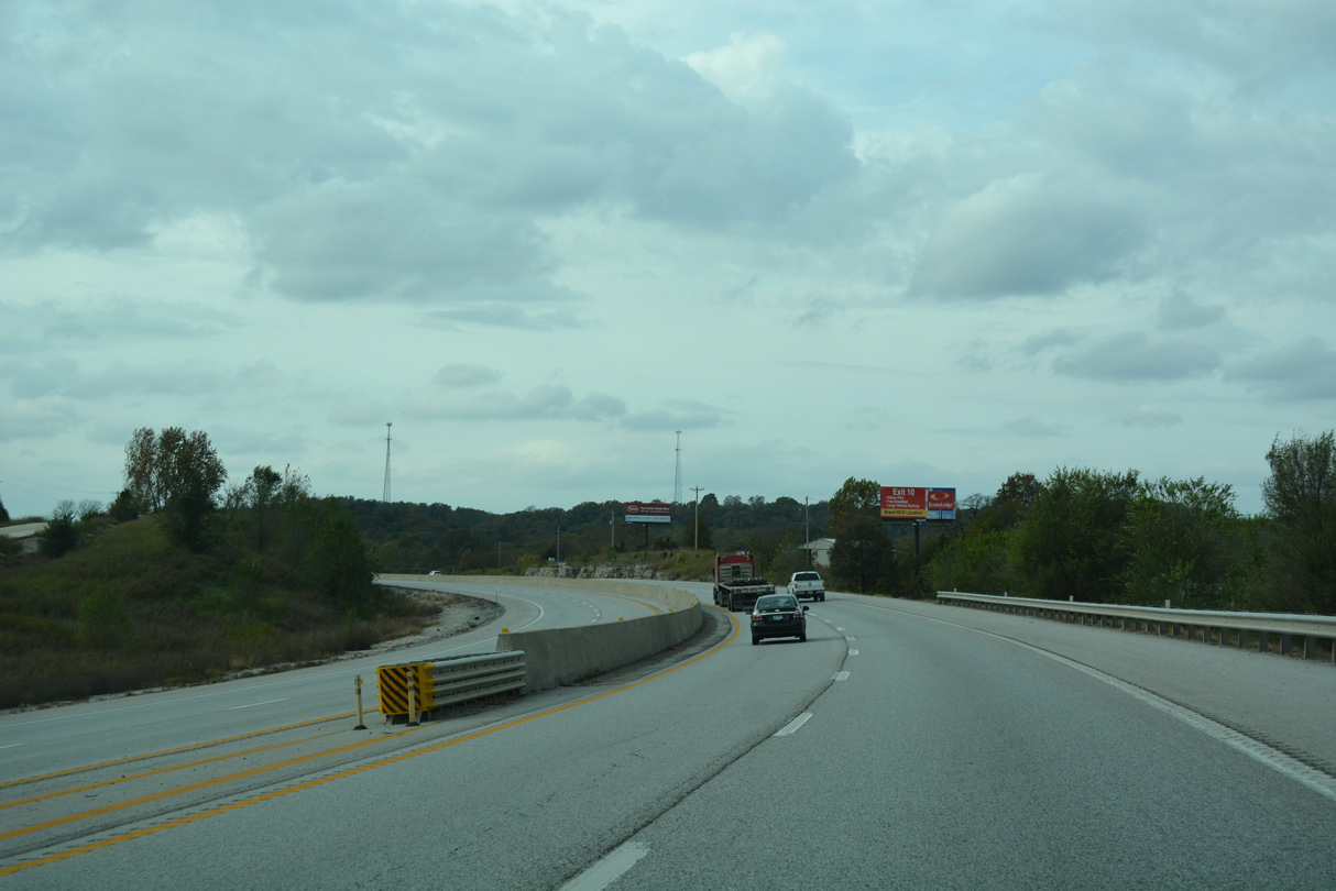
Curving west from Meadowlark Lane, a barrier median again separates the roadways along U.S. 71.
11/02/16
11/02/16
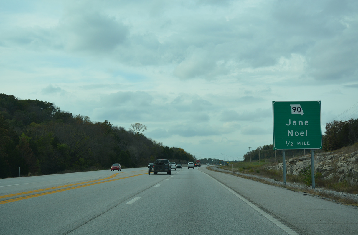
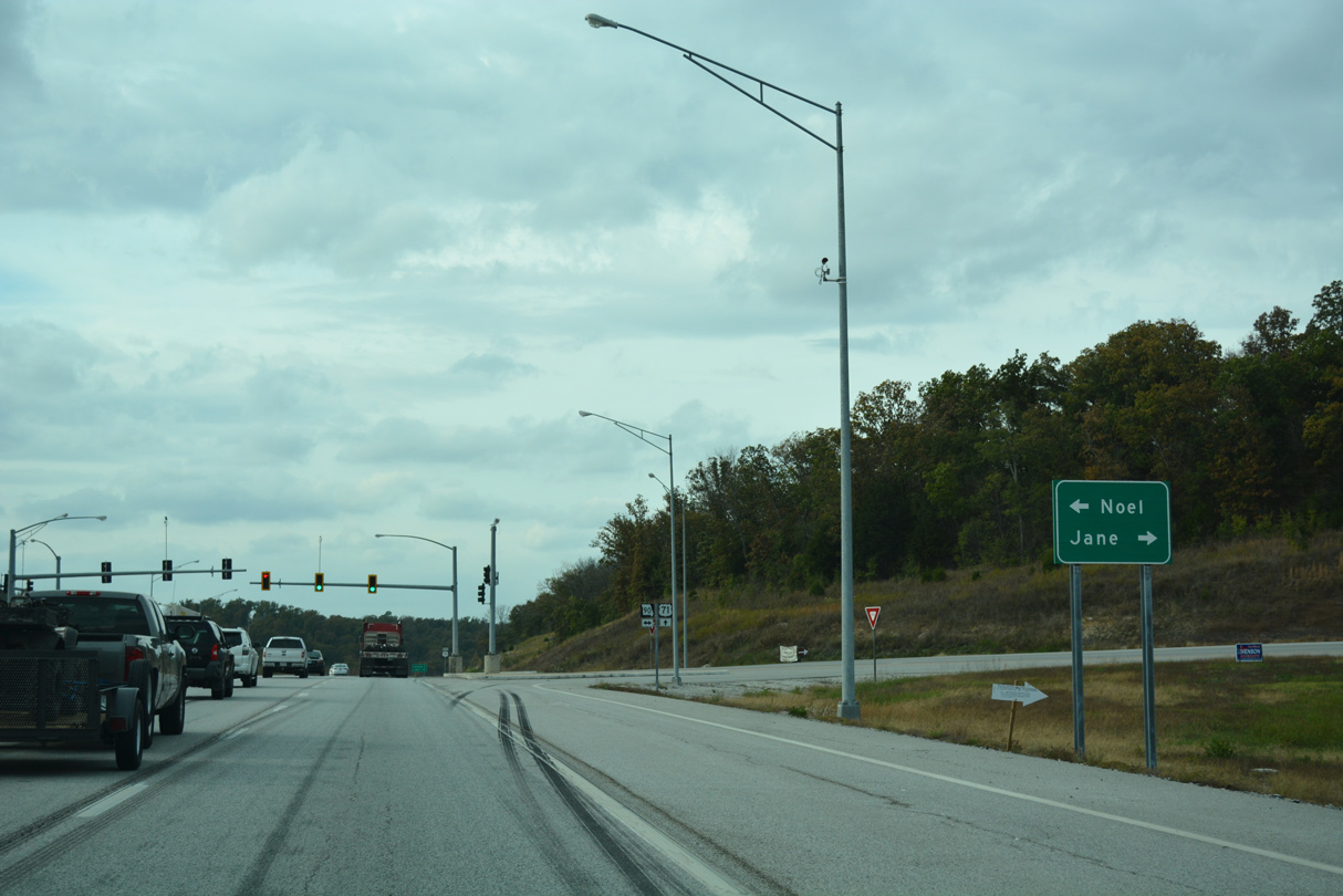
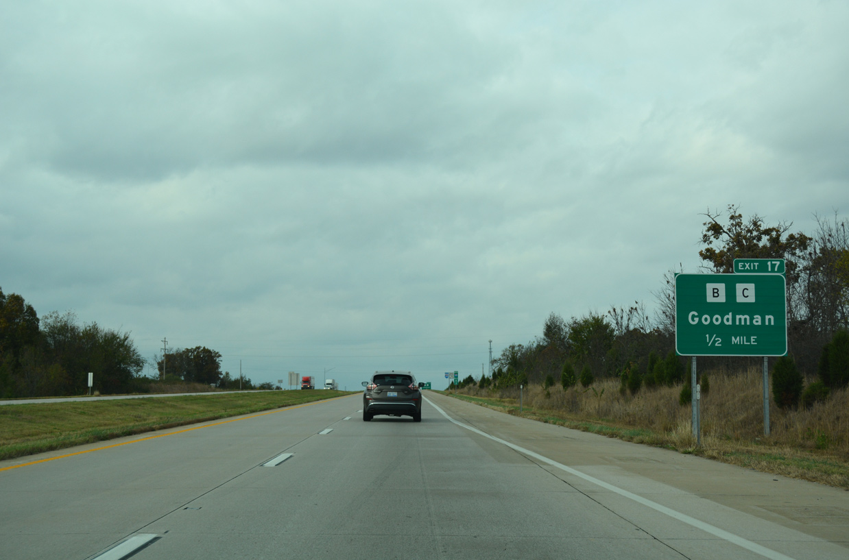
Missouri Route 90 crosses paths with U.S. 71 at a signalized intersection in one half mile.
11/02/16
11/02/16
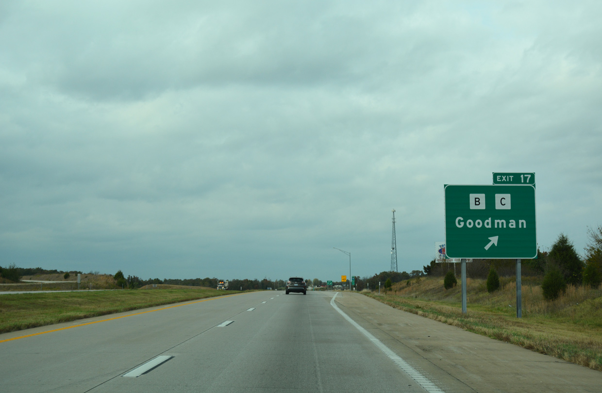
A 46.56 mile long highway, Route 90 runs east to the Jane village center and Route 37 at Washburn.
11/02/16
11/02/16
A 46.56 mile long highway, Route 90 runs east to the Jane village center and Route 37 at Washburn.
11/02/16
11/02/16
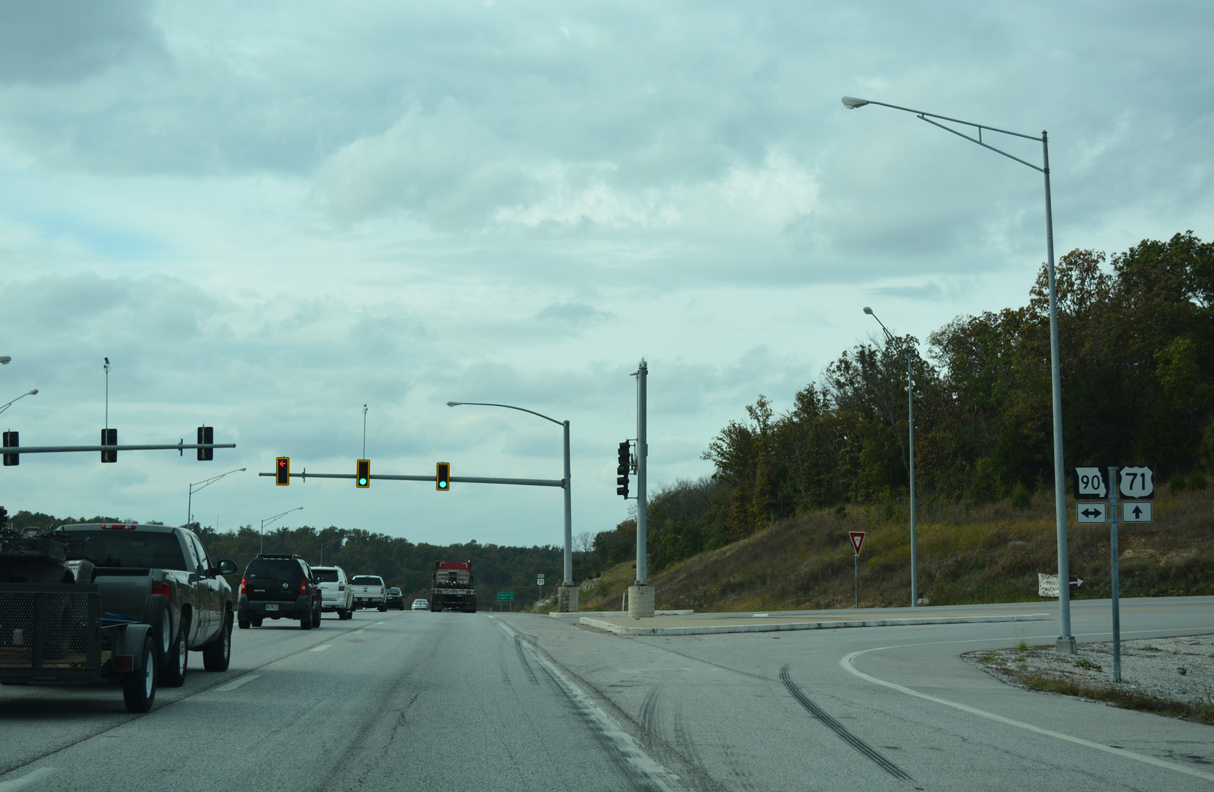
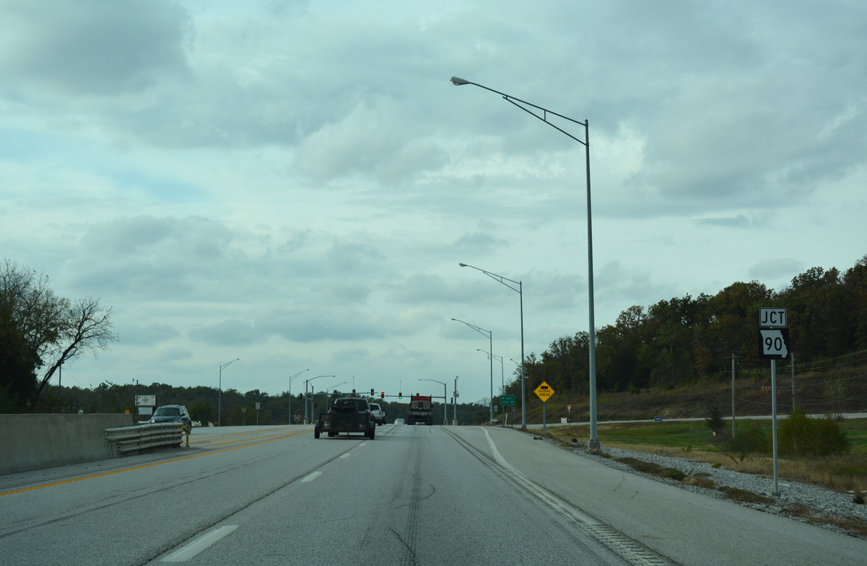
West from U.S. 71, Route 90 continues to Noel, Saratoga and Route 43 on the north side of South West City.
11/02/16
11/02/16
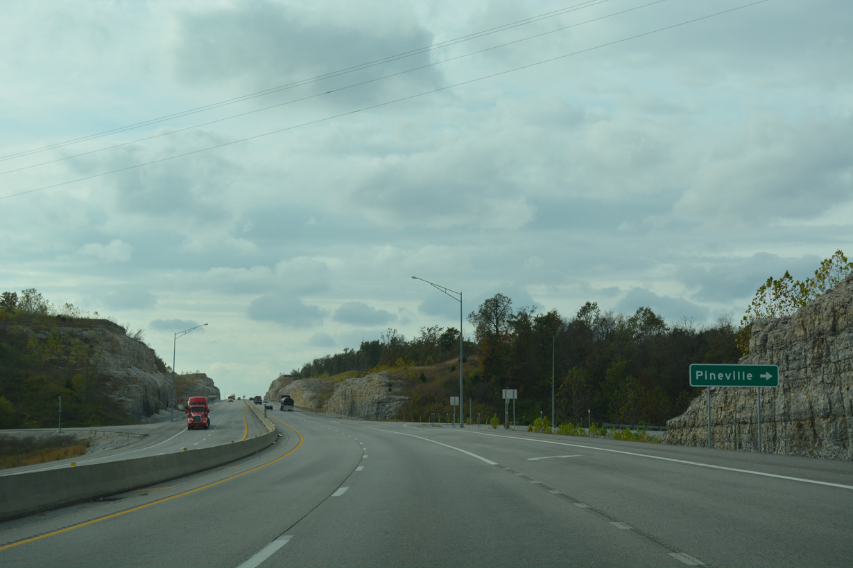
The city of Pineville lies five miles northwest of Route 90 via U.S. 71 and U.S. 71 Business north.
11/02/16
11/02/16
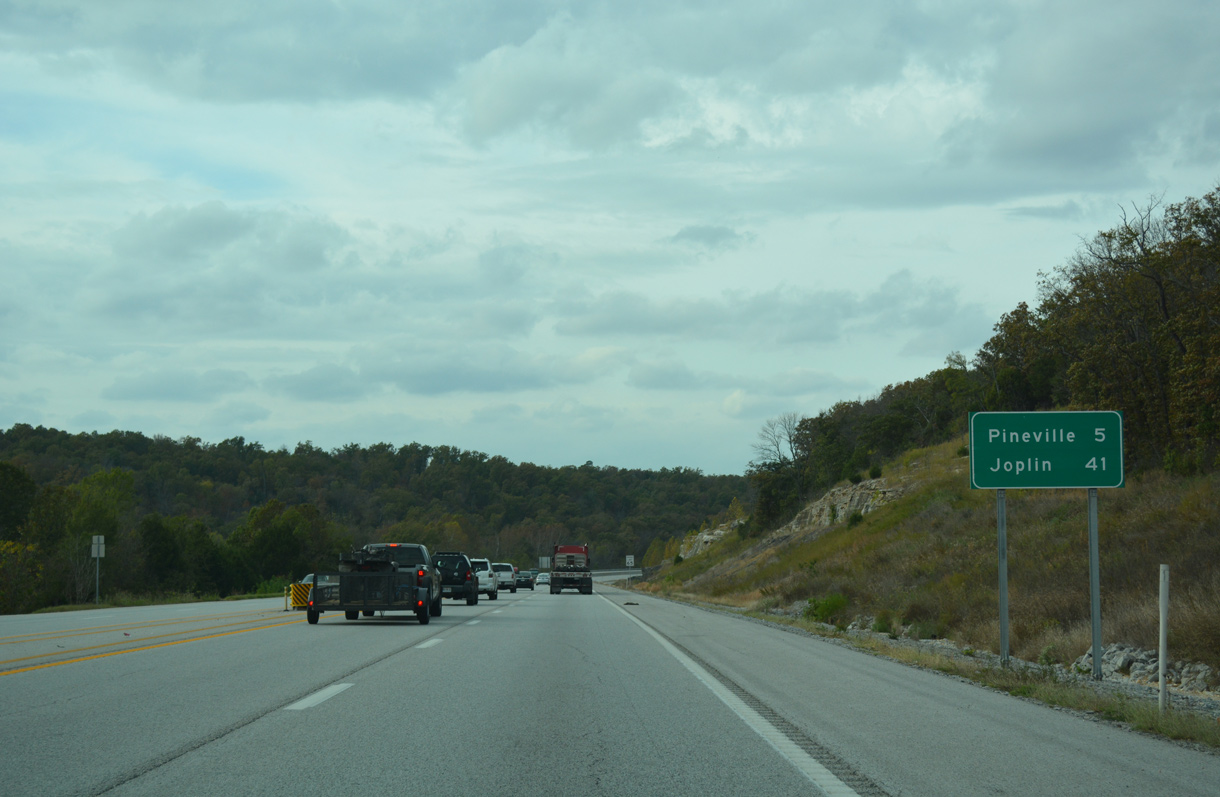
The city of Pineville lies five miles northwest of Route 90 via U.S. 71 and U.S. 71 Business north.
11/02/16
11/02/16
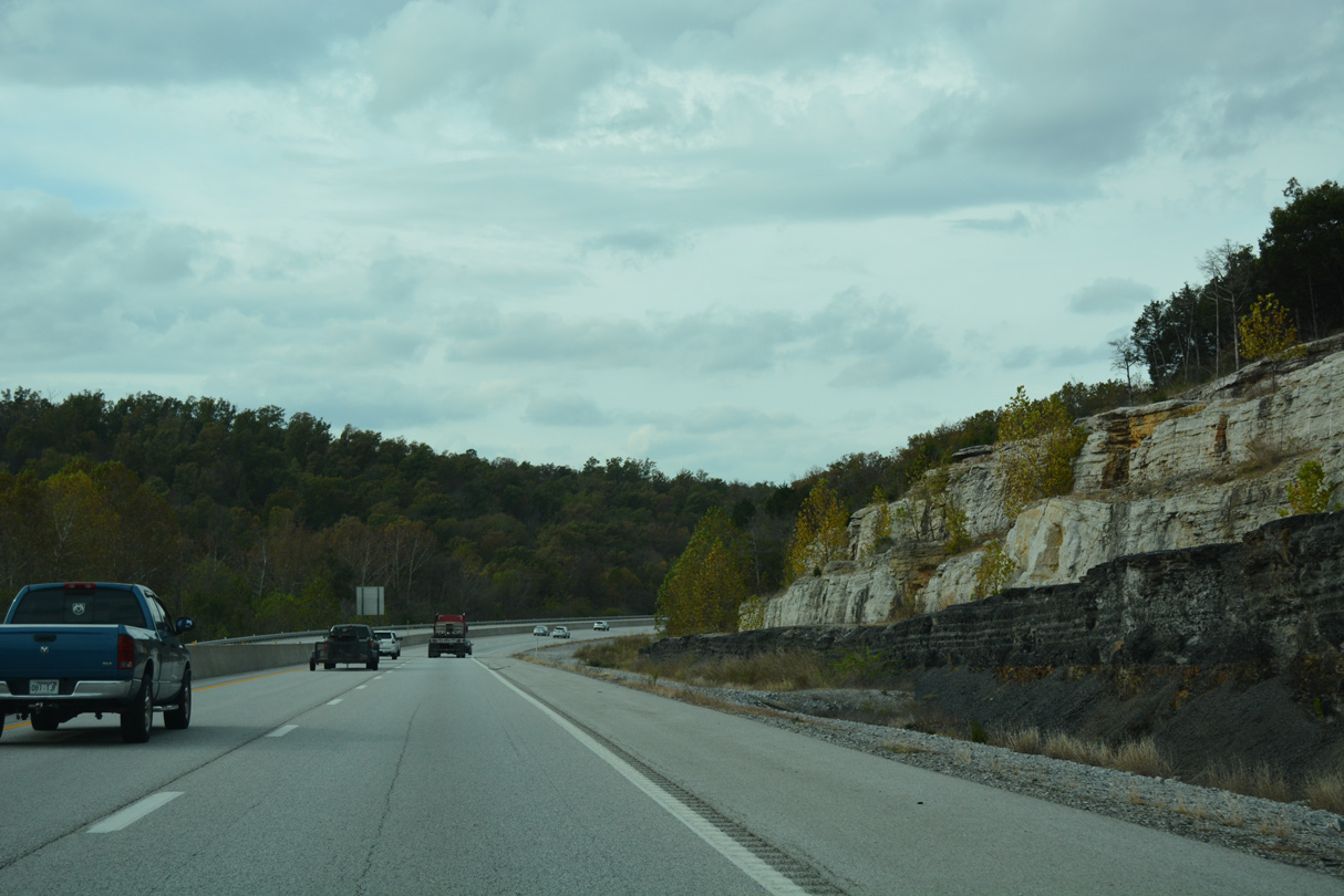
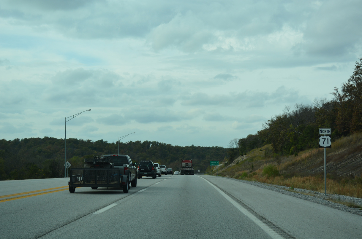
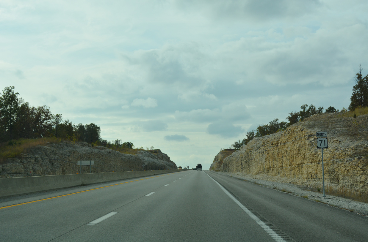
Navigating through an S-curve, U.S. 71 leaves the village of Jane alongside Tanner Branch.
11/02/16
11/02/16
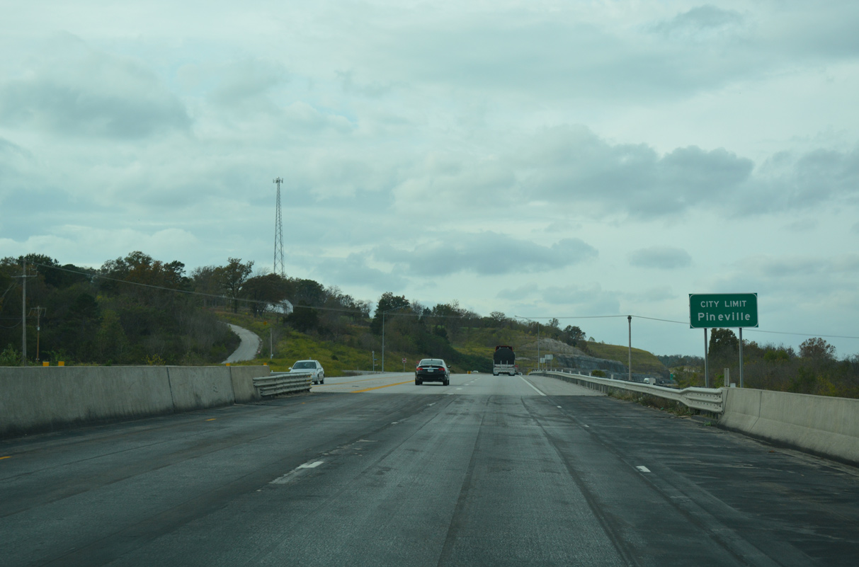
Crossing Brush Creek, U.S. 71 north reaches the city of Pineville.
11/02/16
11/02/16
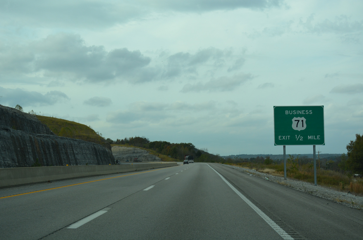
U.S. 71 Business branches north from U.S. 71 to Havenhurst and the Pineville city center in a half mile.
11/02/16
11/02/16
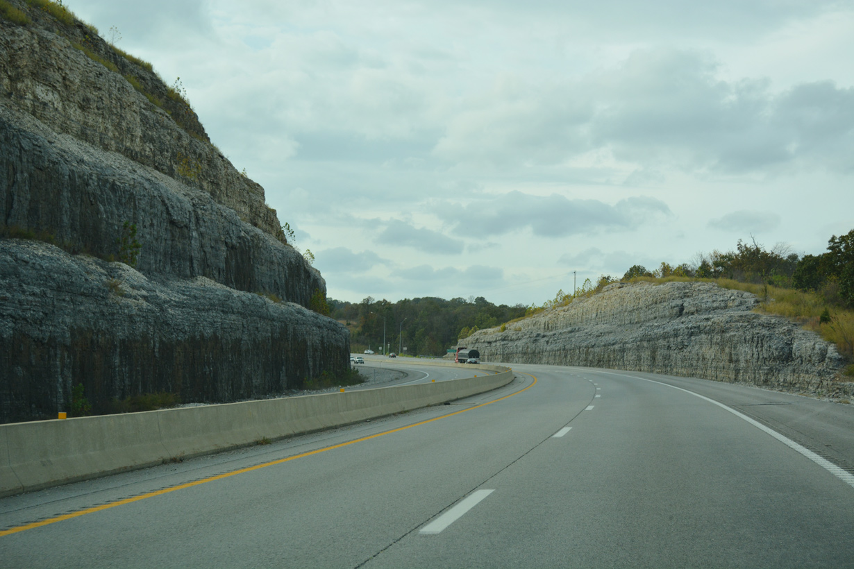
U.S. 71 was realigned to bypass Pineville to the west. The previous alignment followed Raining Road just east of Wolf Pen Hollow.
11/02/16
11/02/16
U.S. 71 Business through Pineville is part of a 12.76 mile route extending north to Anderson and Elliff.
11/02/16
11/02/16
U.S. 71 heads west along an expressway to Goodin Hollow.
11/02/16
11/02/16
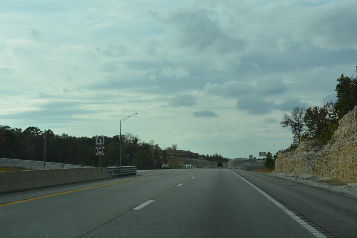
A U-turn provides access to Sugar Valley Circle along the south side of U.S. 71 at Pineville.
11/02/16
11/02/16
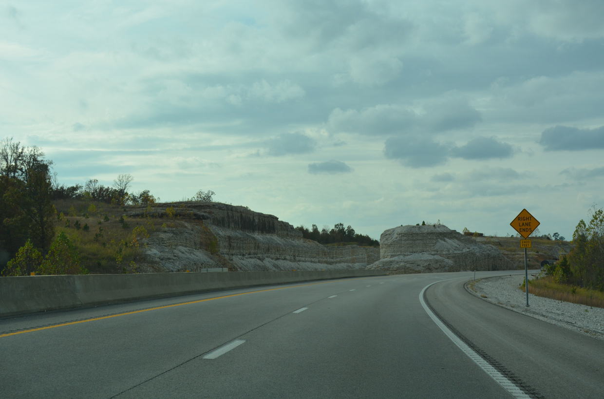
The roadways of U.S. 71 diverge at the future interchange with Interstate 49 south.
11/02/16
11/02/16
Construction on the I-49 Missouri-Arkansas Connector runs from Spring 2020 to September 30, 2021. The $70.3 million roadway will link with the Bella Vista Bypass portion of Interstate 49, five miles to the south.1
11/02/16
11/02/16
Interstate 49 and U.S. 71 will combine at a wye interchange one mile south of Route H in Pineville.
11/02/16
11/02/16
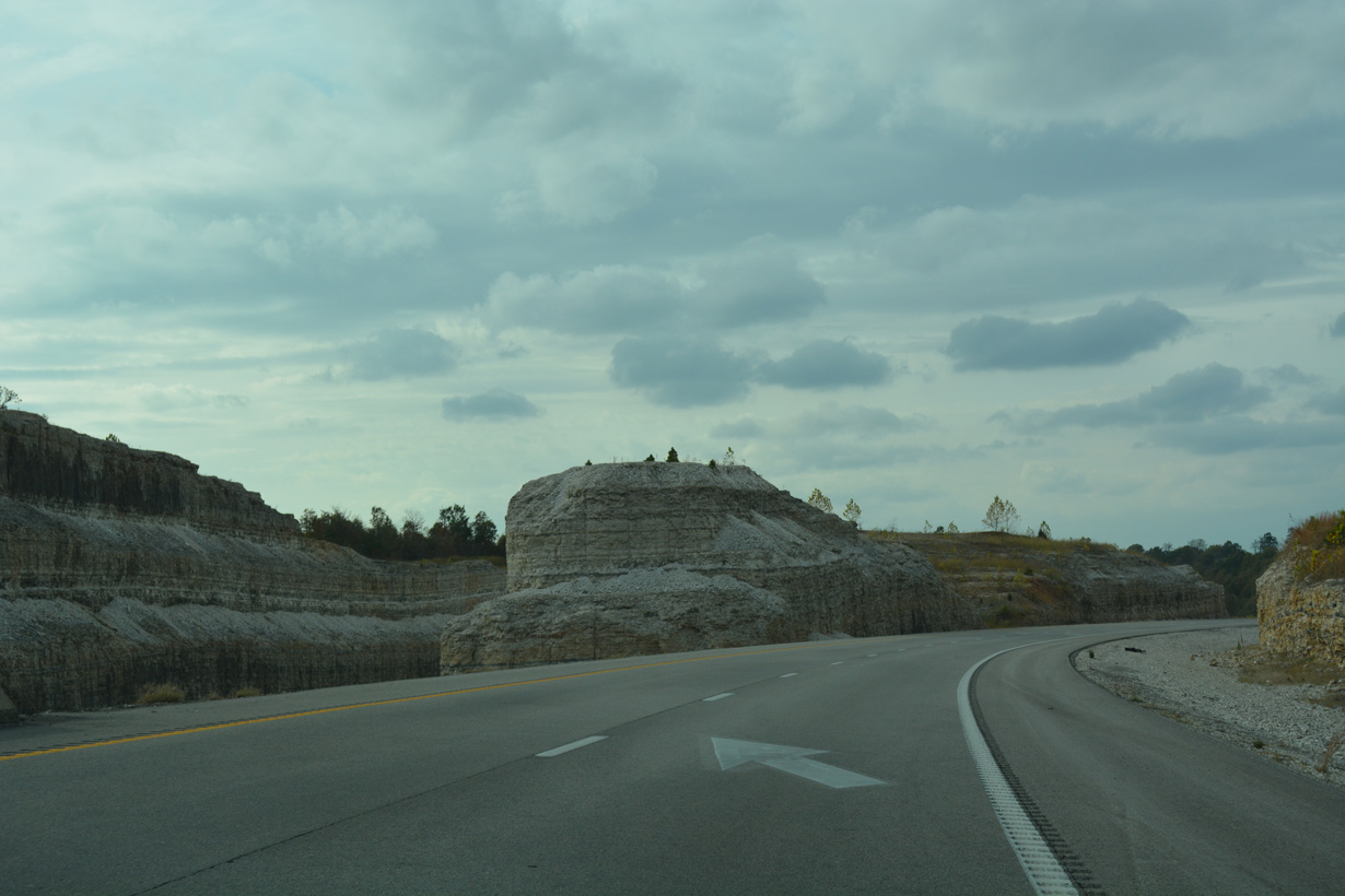
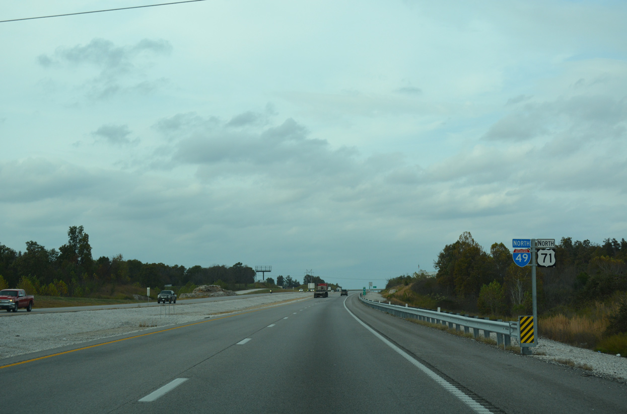
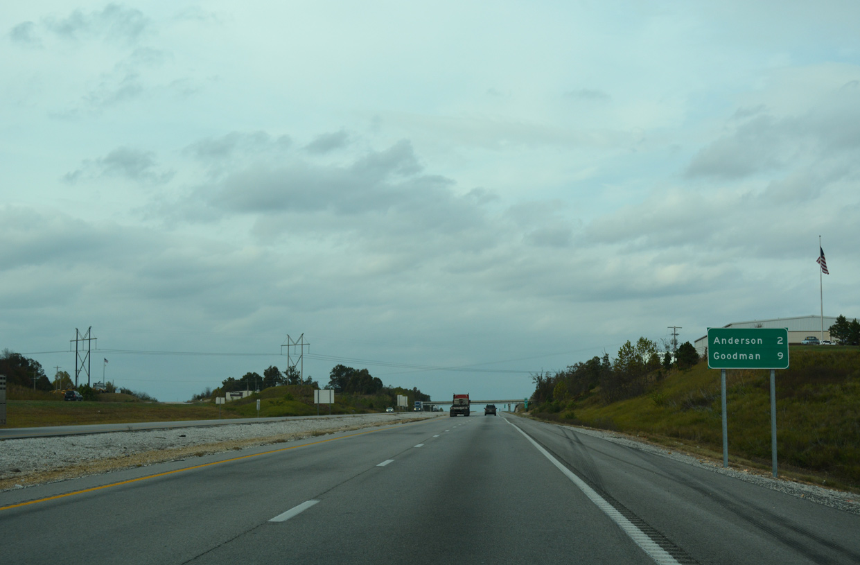
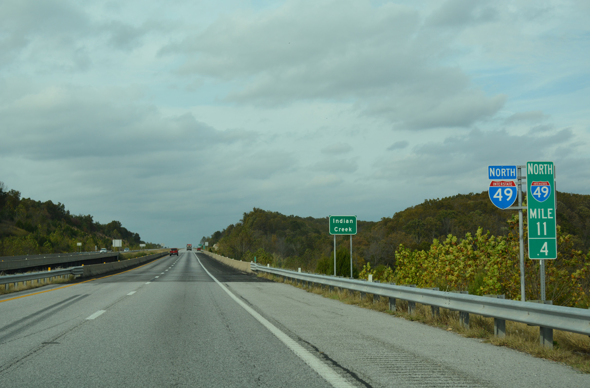
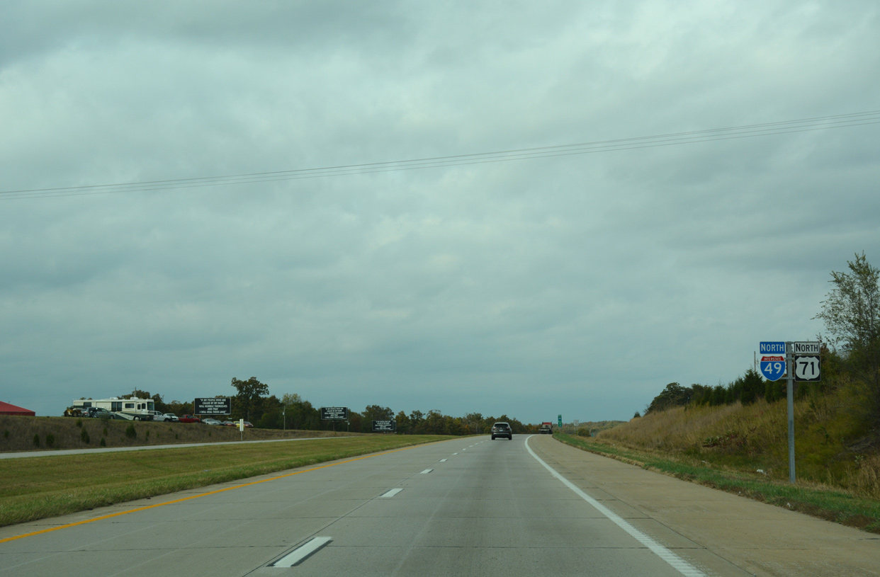
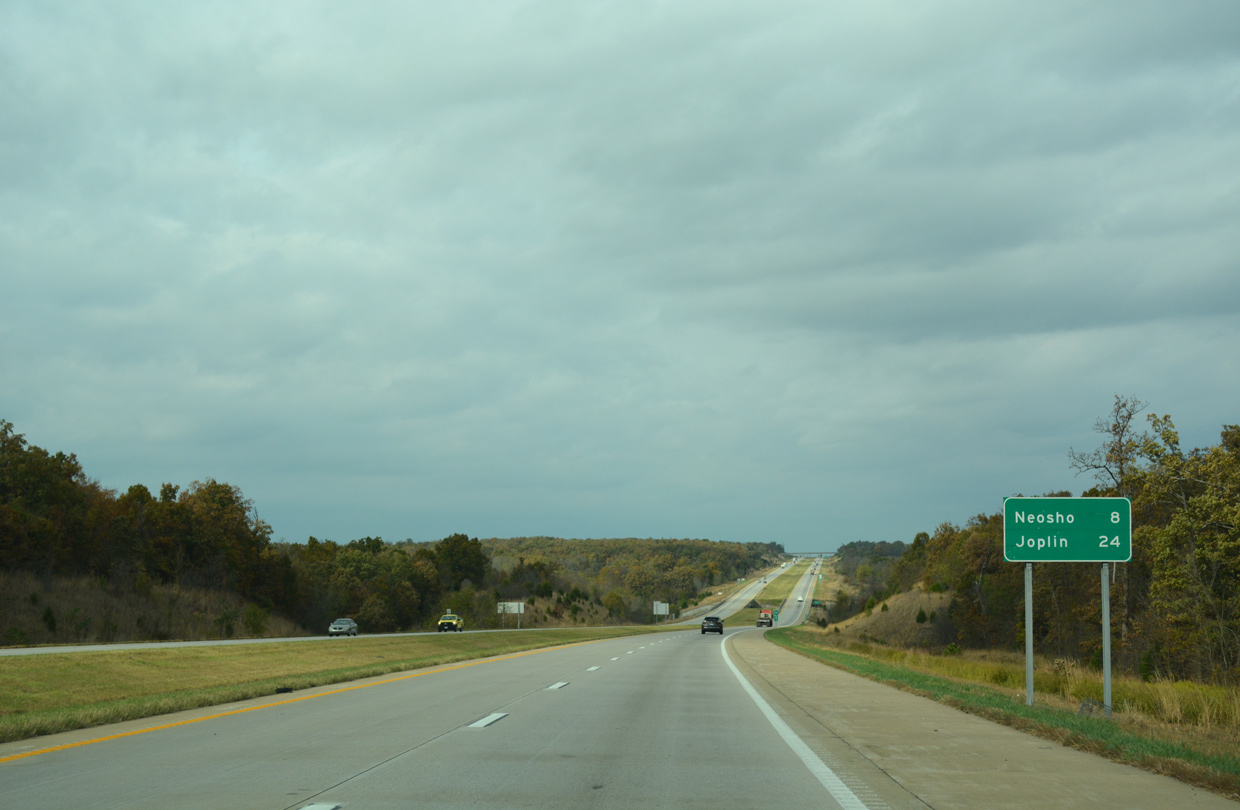
I-49/U.S. 71 travel north across the west side of Pineville and then east of Anderson over the succeeding six miles.
11/02/16
11/02/16
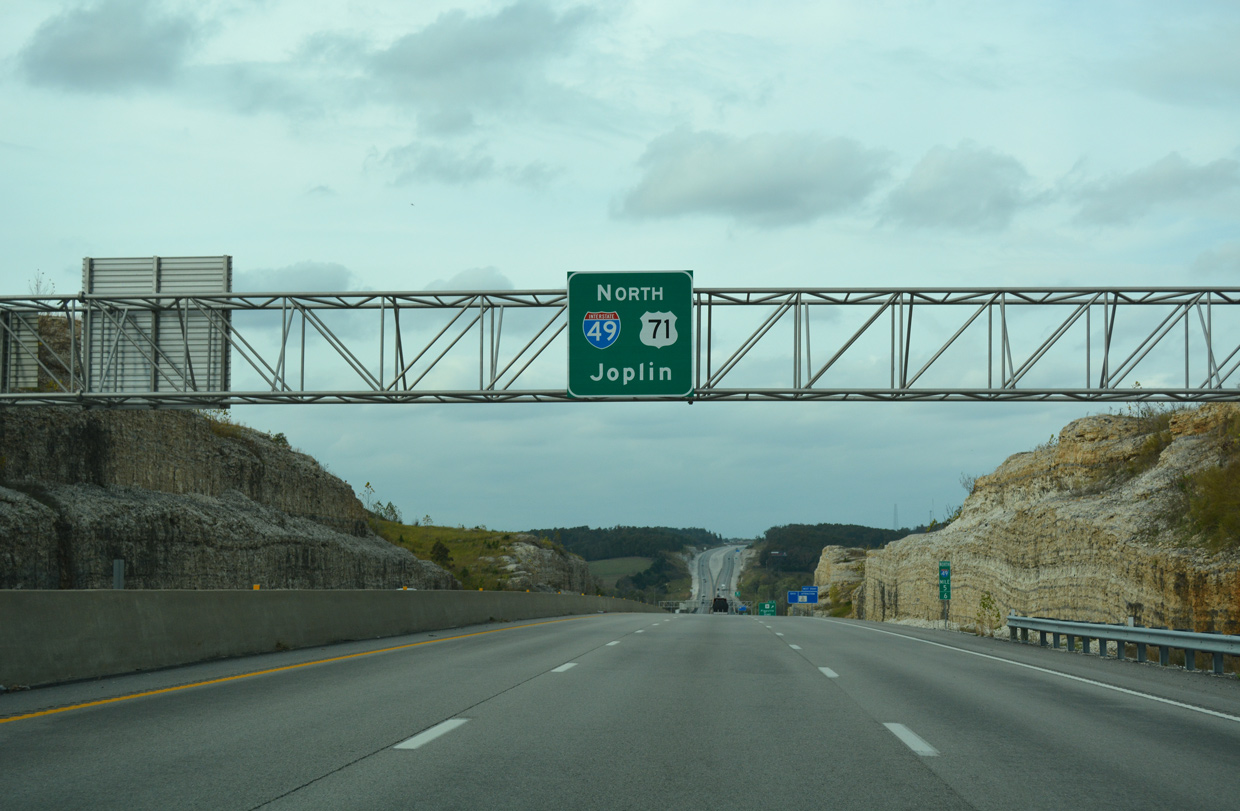
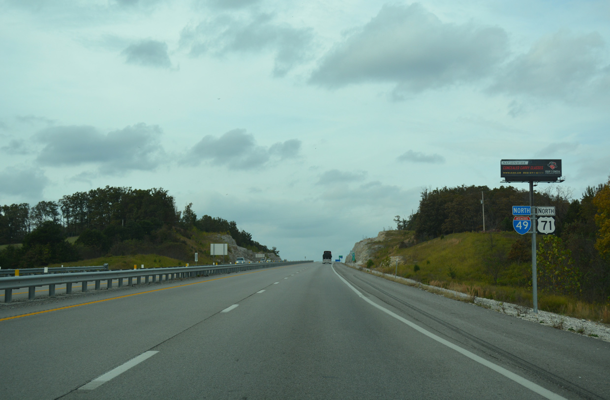
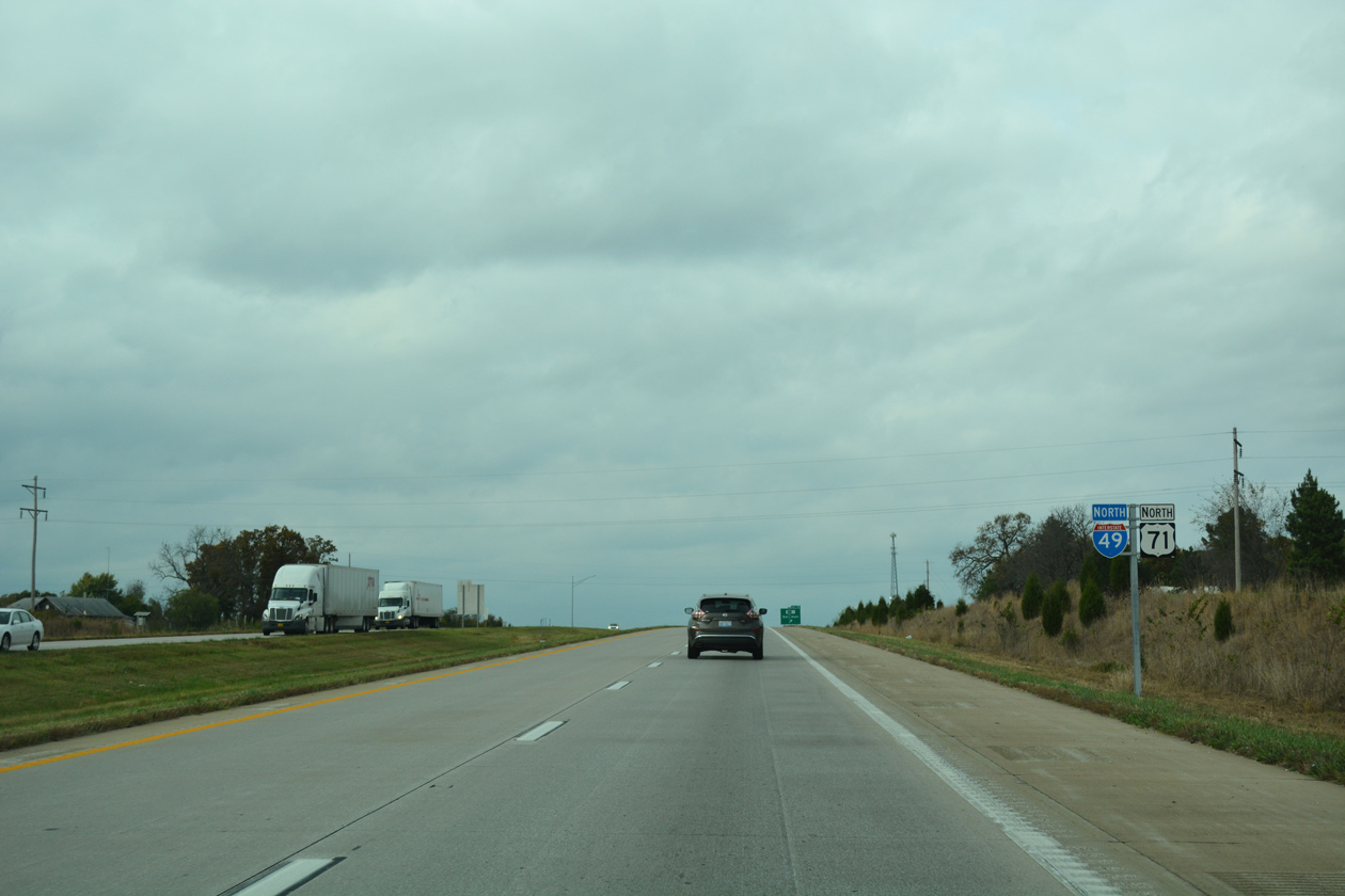
 North
North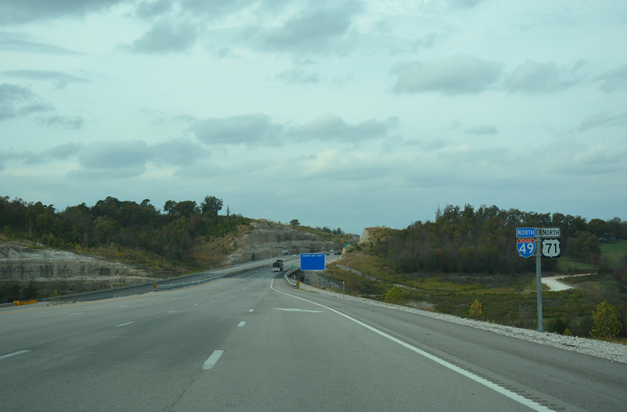
The first confirming marker for Interstate 49 stands by the Goodin Hollow Road underpass.
11/02/16
11/02/16
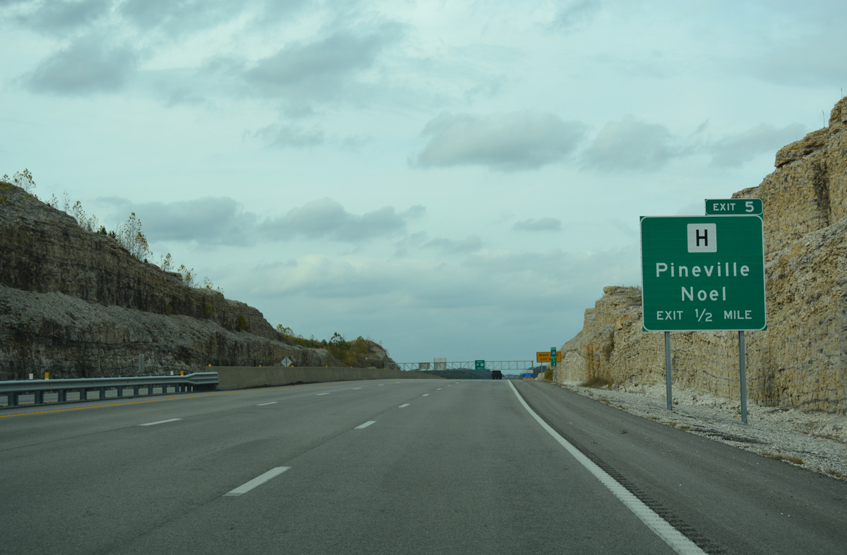
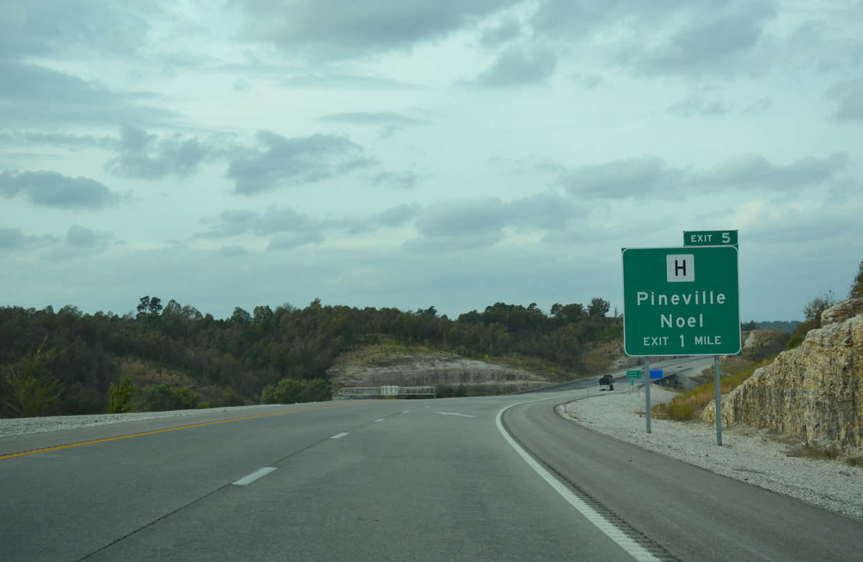
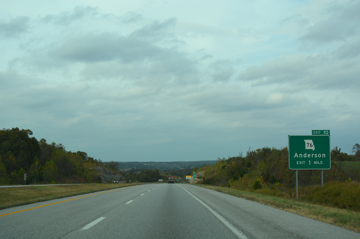
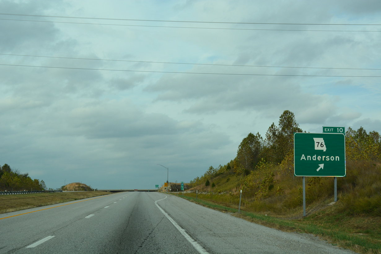
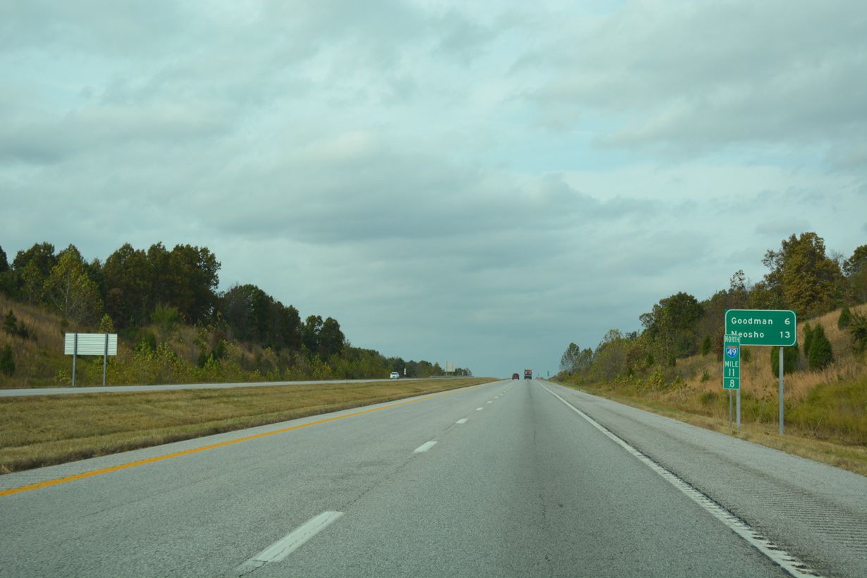
A folded diamond interchange (Exit 5) joins I-49/U.S. 71 with Route H in one half mile.
11/02/16
11/02/16
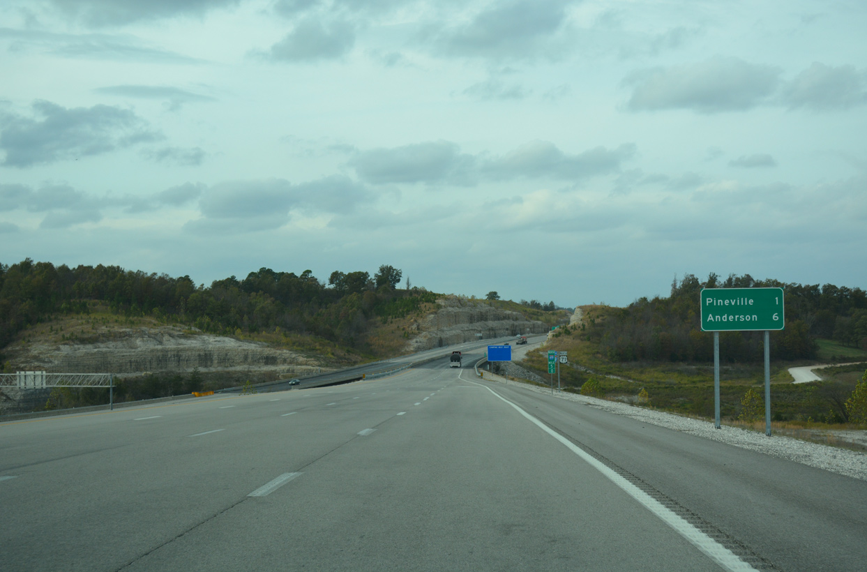
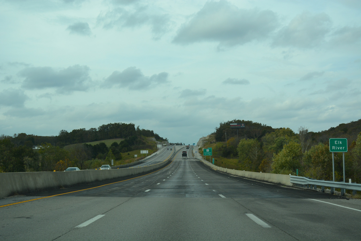
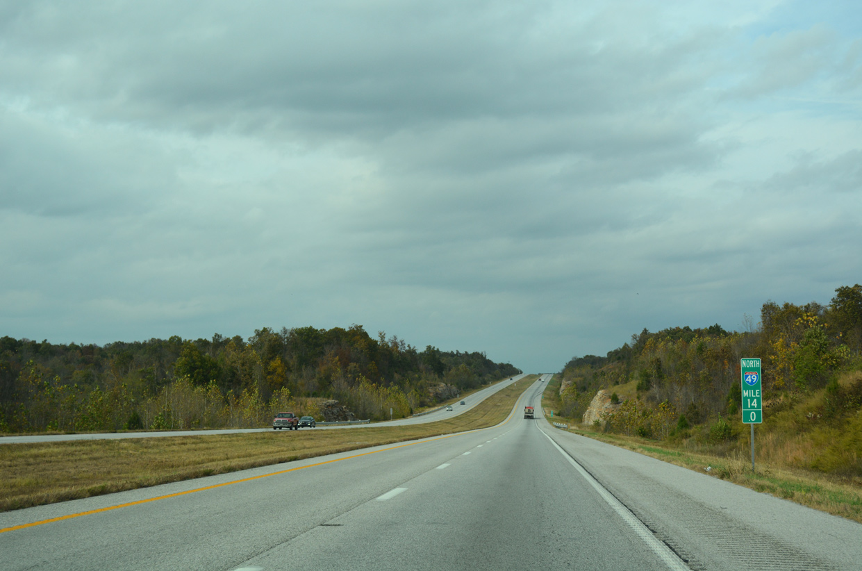
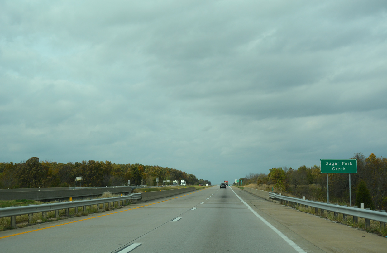
Interstate 49 lowers into the Elk River valley.
11/02/16
11/02/16
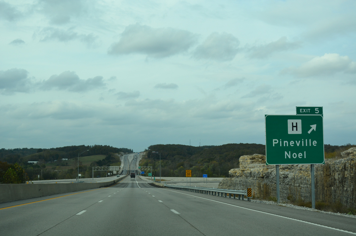
Route H constitutes a 7.07 mile highway west to Route 90 in Noel and east to U.S. 71 Business in Pineville.
11/02/16
11/02/16
11/02/16
11/02/16
11/02/16
11/02/16
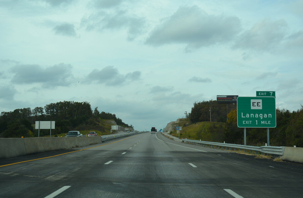
11/02/16
11/02/16
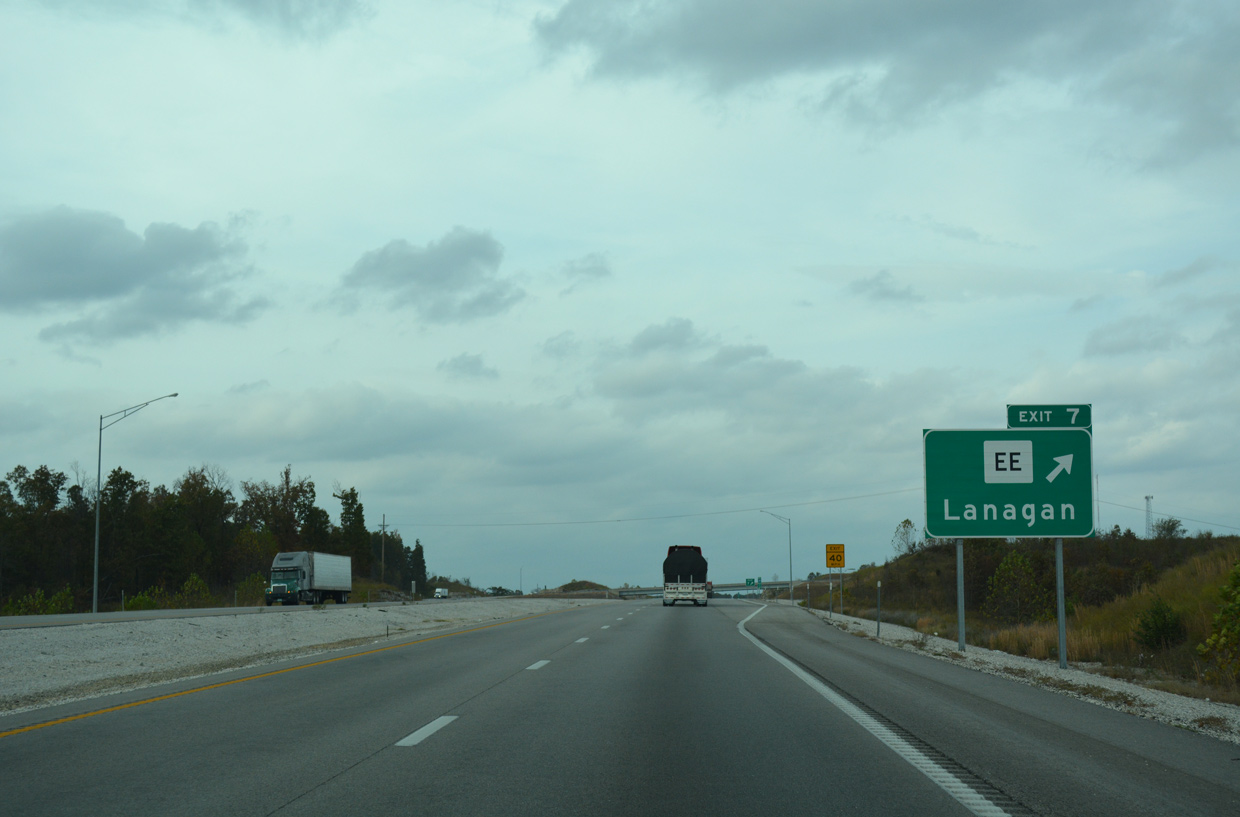
11/02/16
11/02/16
11/02/16
11/02/16
11/02/16
11/02/16
11/02/16
11/02/16
11/02/16
11/02/16
11/02/16
11/02/16
11/02/16
11/02/16


References:
- I-49 Missouri-Arkansas Connector Fact Sheet. Missouri Department of Transportation (MoDOT).
Photo Credits:
- Alex Nitzman, JP Nasiatka: 11/02/16
Page Updated Thursday February 27, 2020.