
Interstate 59 North - Gadsden to Georgia

 North
North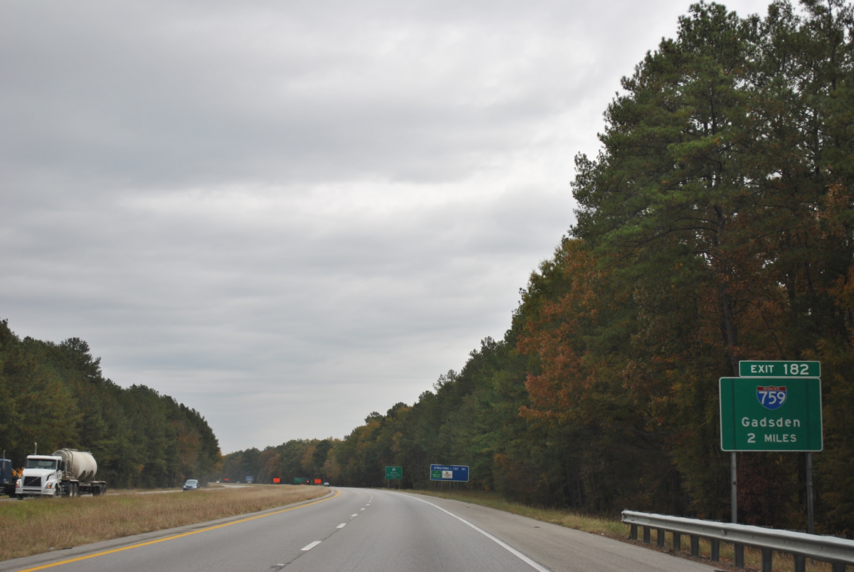
Two miles from the directional cloverleaf interchange (Exit 182) joining I-59 north with the west end of Interstate 759, the Gadsden Spur.
11/03/11
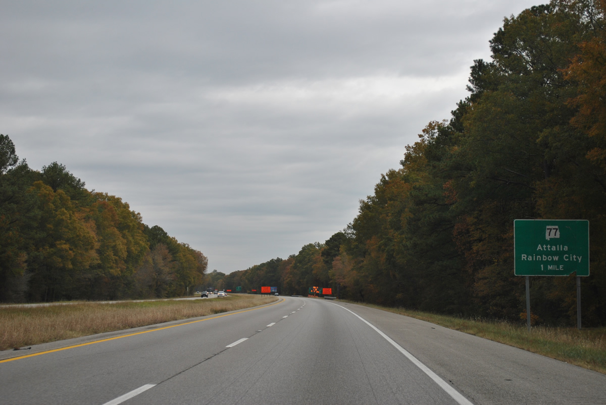
SR 77 (Gilbert Ferry Road) connects Interstate 59 with Attala and Rainbow City from a folded diamond interchange (Exit 182) next in one mile.
11/03/11

SR 77 (Gilbert Ferry Road) becomes Grand Avenue in Rainbow City ahead of U.S. 411 (Rainbow Drive). SR 77 north encircles the west side of Attala to Moragne and U.S. 431 at Norton.
11/03/11
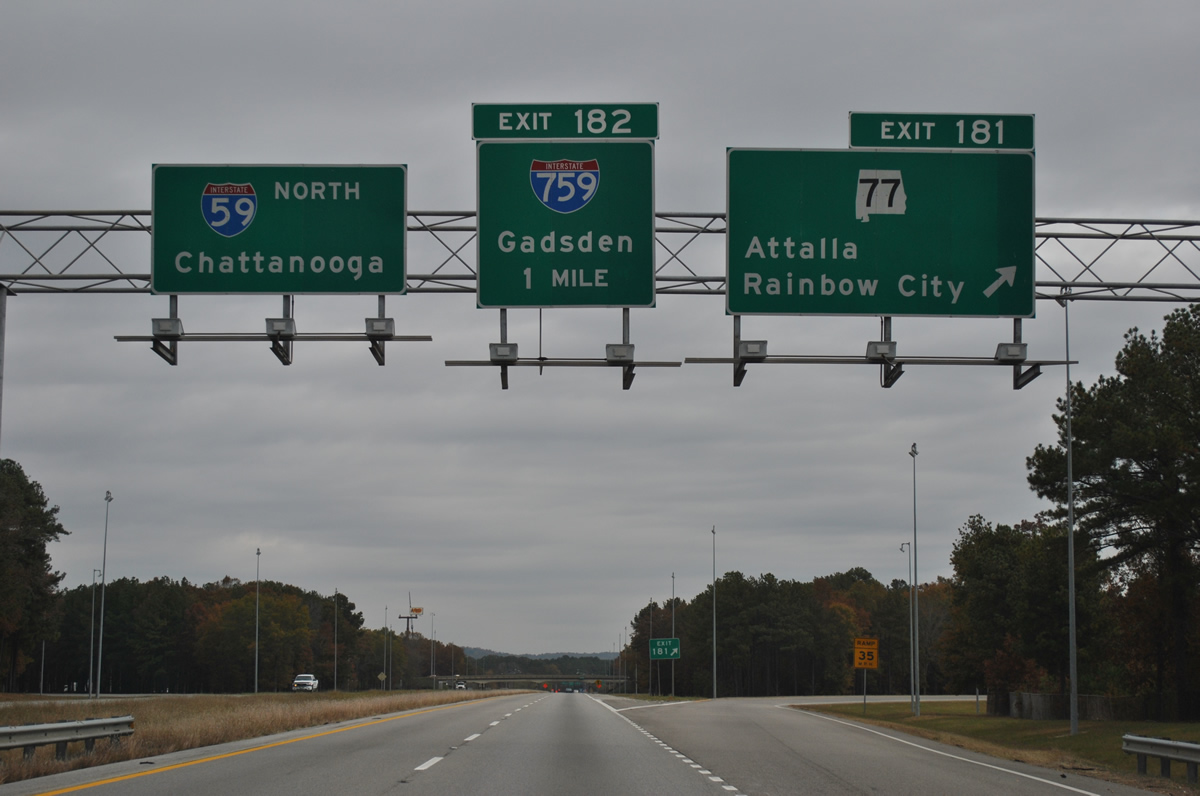
SR 77 constitutes a 112.33 mile route from Attalla and Rainbow City south to Talladega, Ashland and Lafayette.
Interstate 759 spurs 4.54 miles east from forthcoming Exit 182 to U.S. 411 and SR 759 in the city of Gadsden.
11/03/11
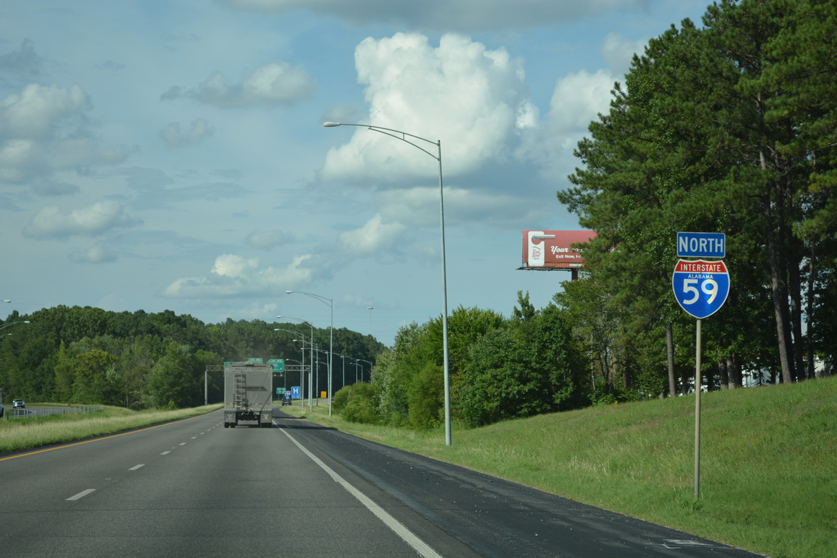
Advancing north from SR 77, I-59 leaves SR 77 passes between an area of wetlands by Big Wills Creek and businesses along parallel Old Pump Station Road.
07/26/22
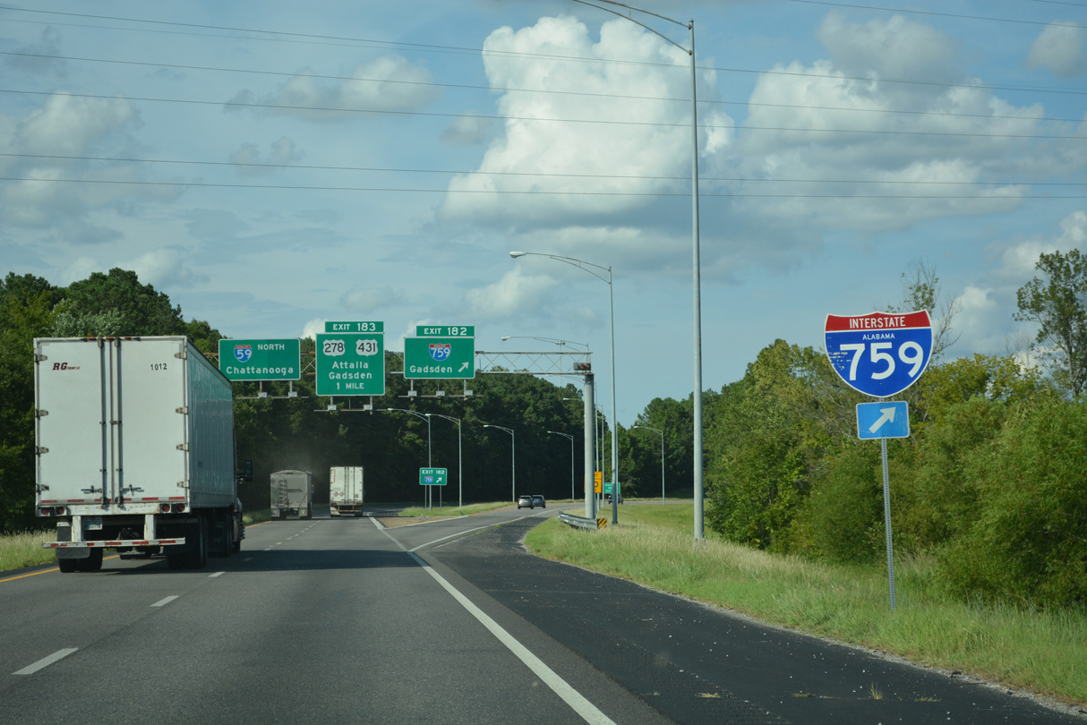
Opened in 1986, the Gadsden Spur provides a high speed route between Interstate 59 and Gadsden south of the central business district.
07/26/22
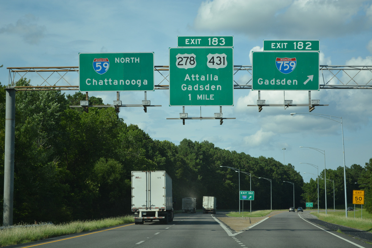
I-759 allows traffic bound for U.S. 278 east to Piedmont to bypass a portion of Gadsden.
07/26/22
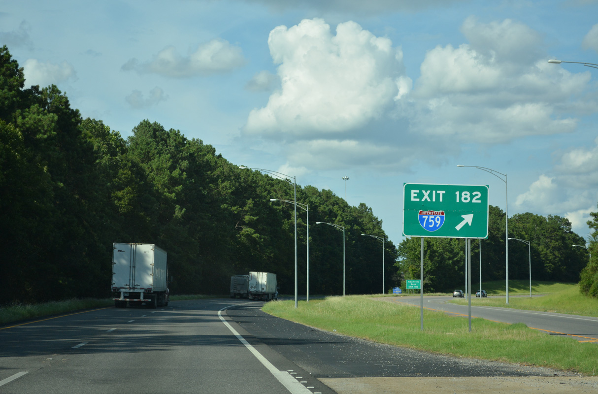
Ramp stubs present at the interchange allude to a proposed westward extension to U.S. 278/431 at Attala. The overpass taking I-759 east above I-59 includes space allocated for an unbuilt loop ramp to I-759 west.
07/26/22
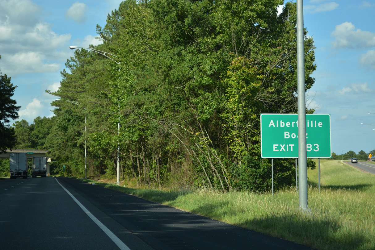
I-59 proceeds north from I-759 to Exit 183 for U.S. 431 to the cities of Boaz and Albertville.
07/26/22
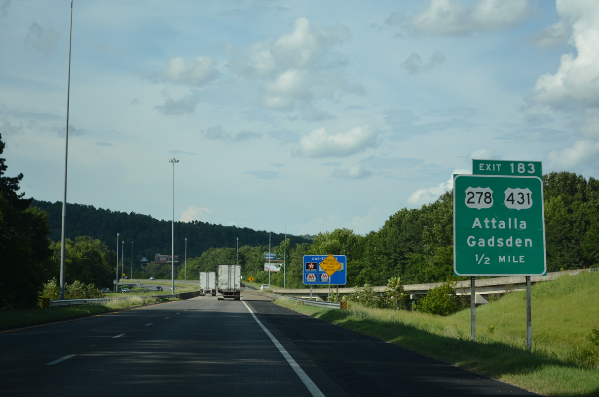
I-59 crosses Big Wills Creek ahead of the split diamond interchange (Exit 183) with Cleveland Avenue and U.S. 278/431 (5th Avenue).
07/26/22
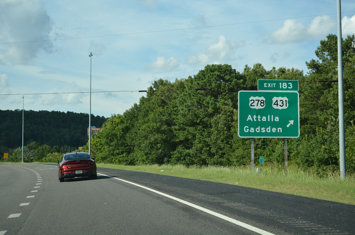
U.S. 278/431 follow 5th Avenue west from Exit 182 to the Attala city center and Meighan Boulevard east from the Gadsden city line to Downtown.
07/26/22
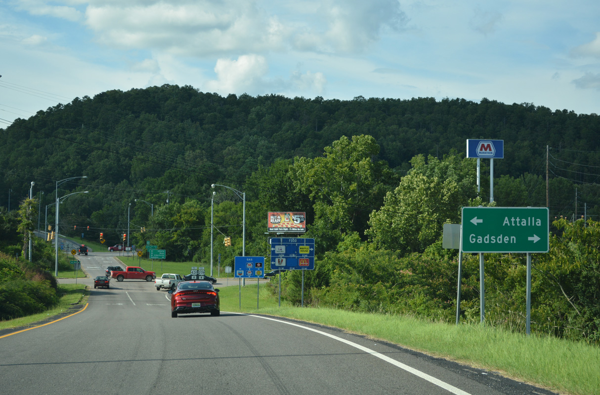
U.S. 278 joins the Gadsden area with Atlanta to the east and Cullman to the west as part of a 1,074 mile long course between Wickes, Arkansas and Hilton Head Island, South Carolina.
07/26/22
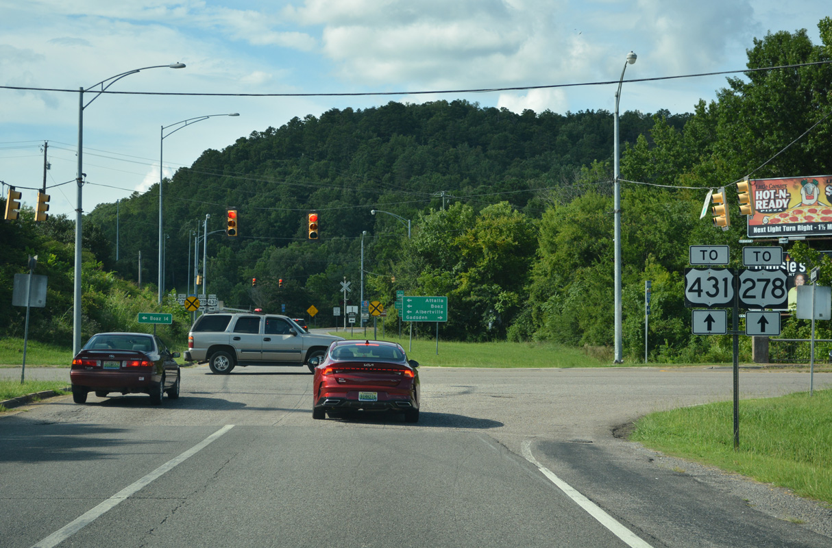
Cleveland Avenue branches south from U.S. 278/431 (5th Avenue NW) to parallel the Alabama and Tennessee River Railway and the U.S. Routes east to I-59. Cleveland Avenue becomes Forrest avenue east into Gadsden en route to Broad Street in Downtown.
07/26/22
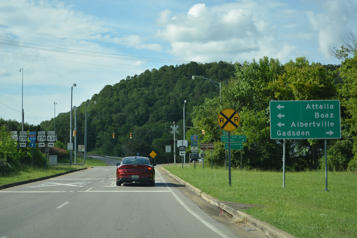
U.S. 431 is a 556 mile long route stretching from Dothan to Gadsden northward to Albertville, Huntsville and ultimately Owensboro, Kentucky.
07/26/22
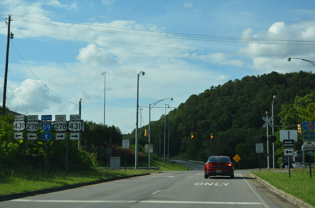
The I-59 service road intersects U.S. 278/431 (5th Avenue) beyond the at-grade crossing with the Alabama and Tennessee River Railway before rejoining the freeway north.
07/26/22
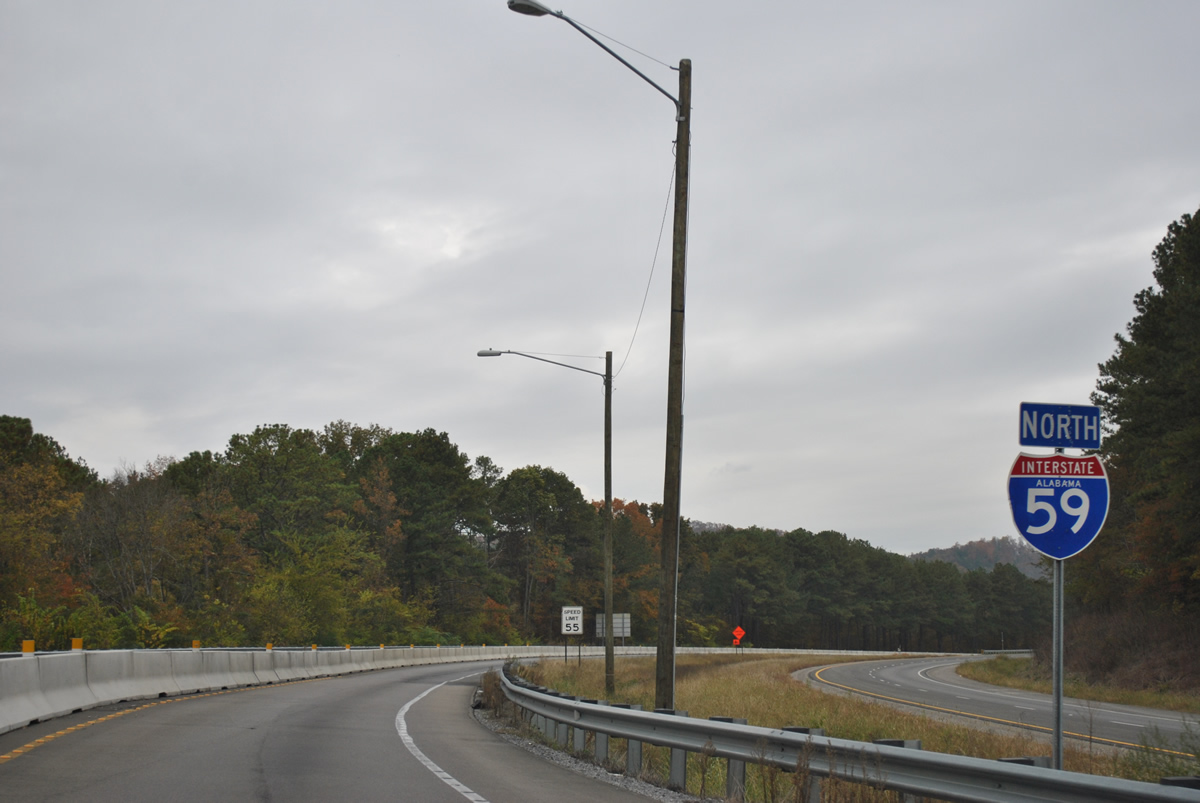
Interstate 59 curves around the periphery of Lookout Mountain into a valley east of Big Ridge between Gadsden and the town of Reece City. Progress59 road work underway between 2011 and December 2012 rebuilt 10.91 miles of concrete pavement for I-59 between Gadsden and Stephens Gap Road. During this work one roadway was completely closed with the other handling two-way traffic.
11/03/11
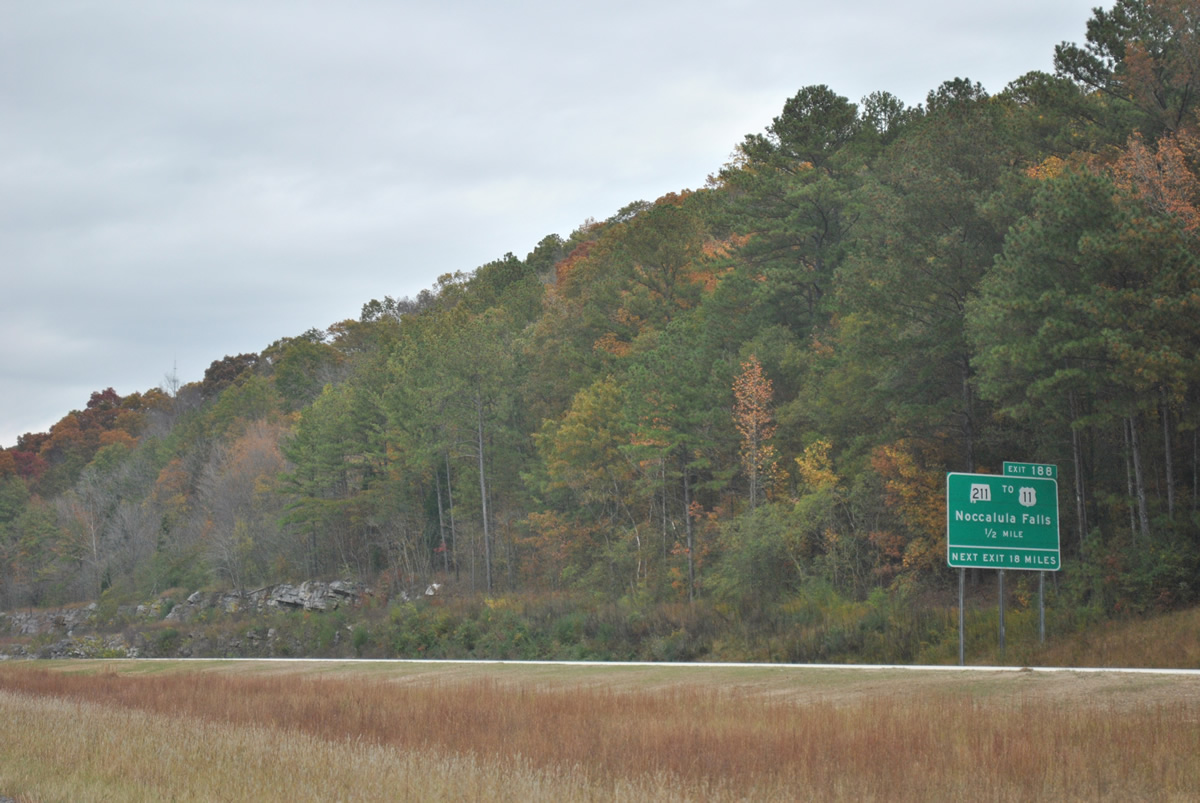
SR 211 winds north from U.S. 278/431 (Meighan Boulevard) through Gadsden to meet Interstate 59 at Reece City and the diamond interchange at Exit 188.
11/03/11
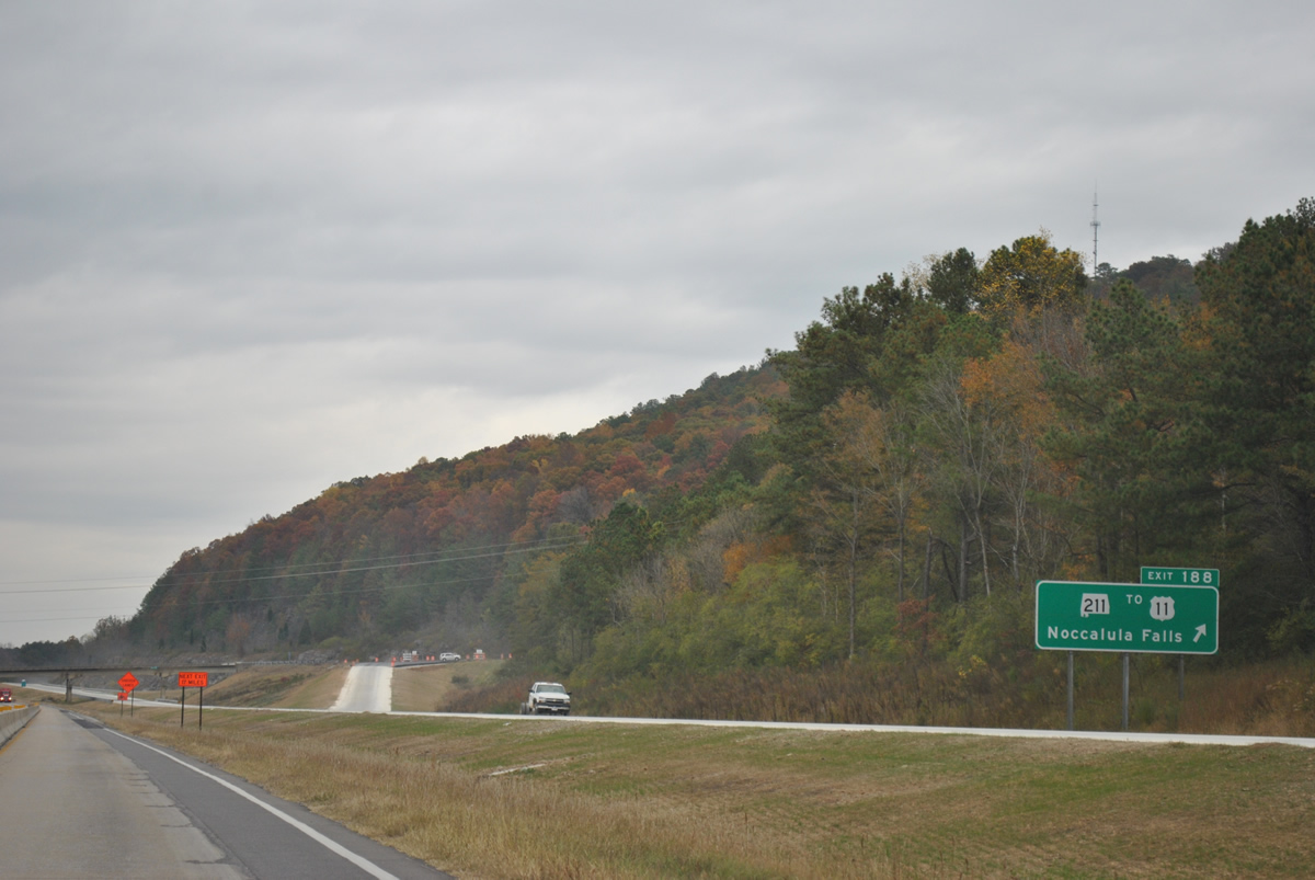
The 4.61 mile long route of SR 211 concludes just west of Exit 188 at U.S. 11 (Valley Drive). SR 211 provides the main route to Noccalula Falls, a 90 foot cascading waterfall along Black Creek in Gadsden. The falls are within a city park that includes trails, historic sites and a botanical garden.
11/03/11
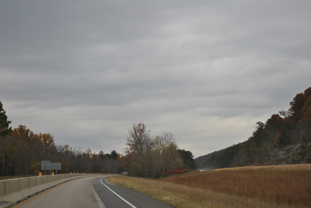
Interstate 59 lines the north slope of Lookout Mountain through Little Wills Valley while U.S. 11 and a Norfolk Southern Railroad travel below just to the west.
11/03/11
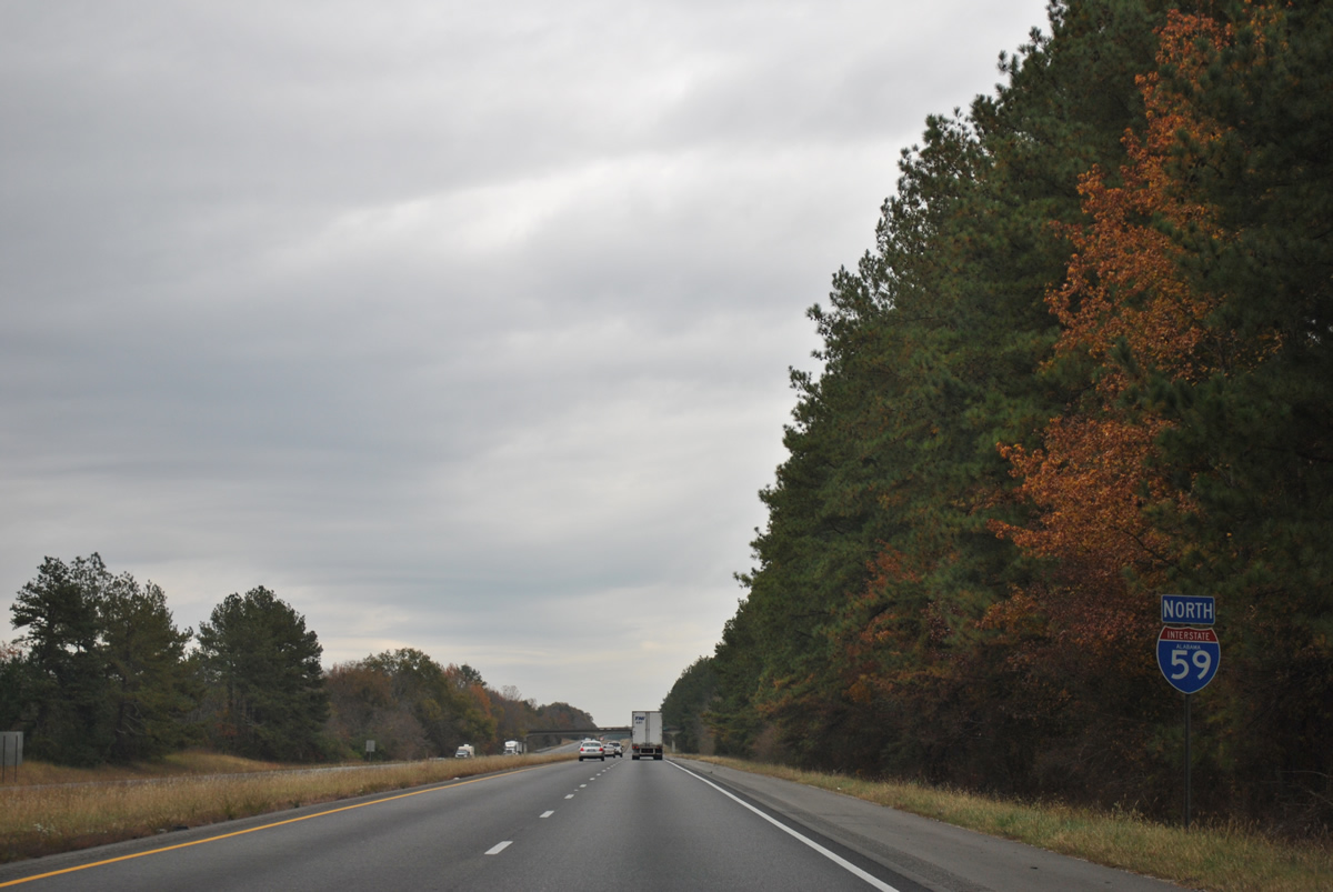
Interstate 59 crosses Little Wills Valley and climbs onto Big Ridge before resuming a northeasterly trajectory through Big Wills Valley. This reassurance marker follows the Stephens Gap Road underpass.
11/03/11
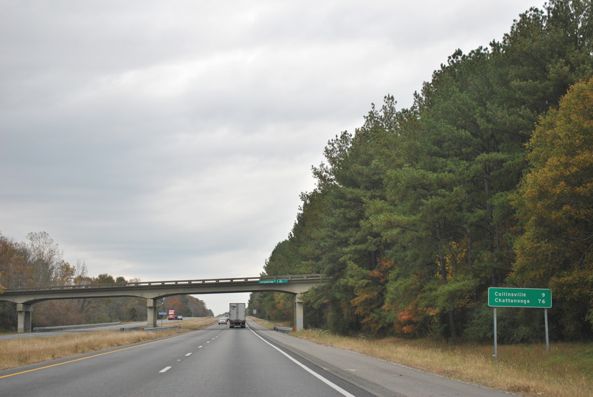
Campbell Gap Road passes over Interstate 59 north at milepost 196.7, nine miles southwest of Collinsville. Chattanooga, Tennessee is 76 miles away via I-59 north to I-24 east.
11/03/11
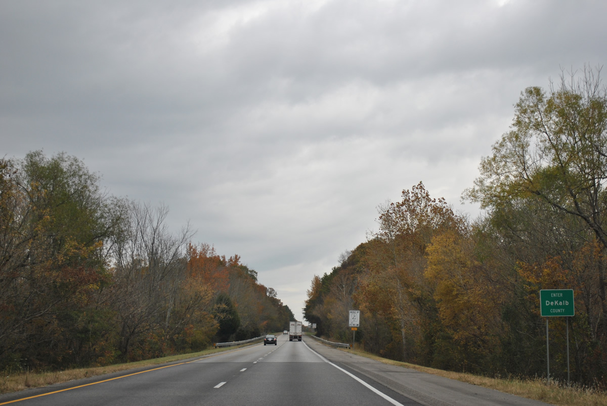
Continuing alongside Big Wills Creek to the west and Big Ridge to the east, northbound I-59 enters Dekalb County, the final county along the route in the Heart of Dixie.
11/03/11
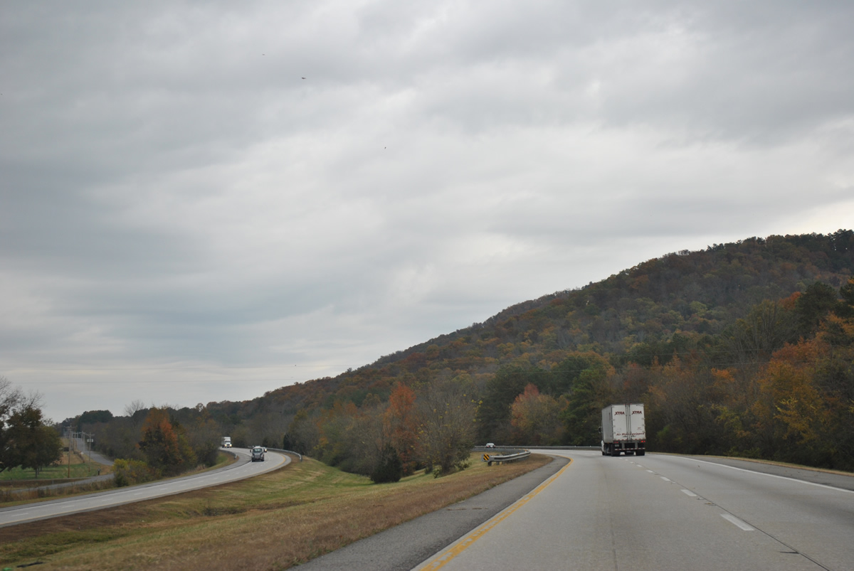
Dekalb County Route 39 appears on the west side of I-59 where it parallels the freeway northeast from SR 227 near Hendrixville.
11/03/11
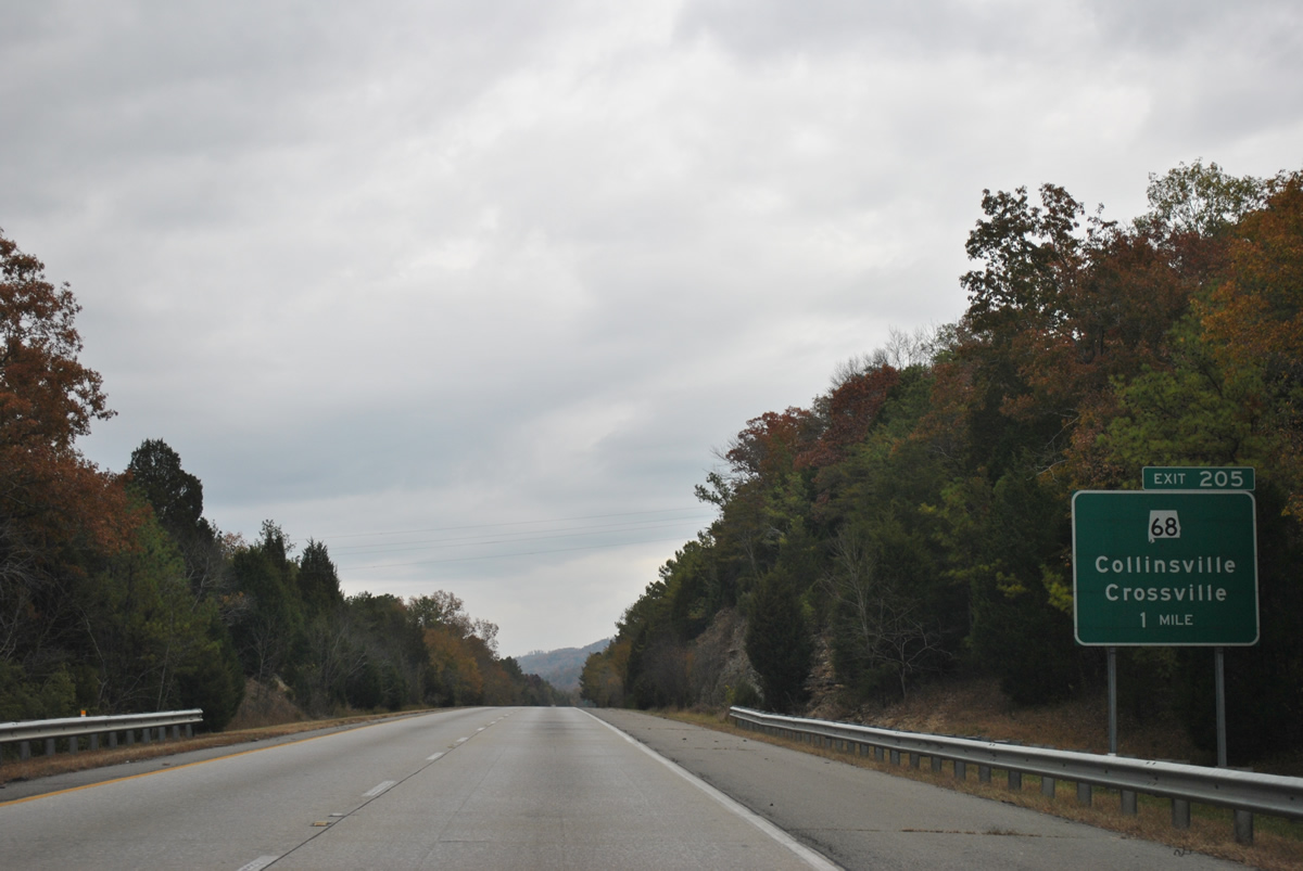
SR 698 climbs Big Ridge from a short overlap with U.S. 11 (Valley Avenue) through Collinsville to meet Interstate 59 at a diamond interchange (Exit 205) in one mile.
11/03/11
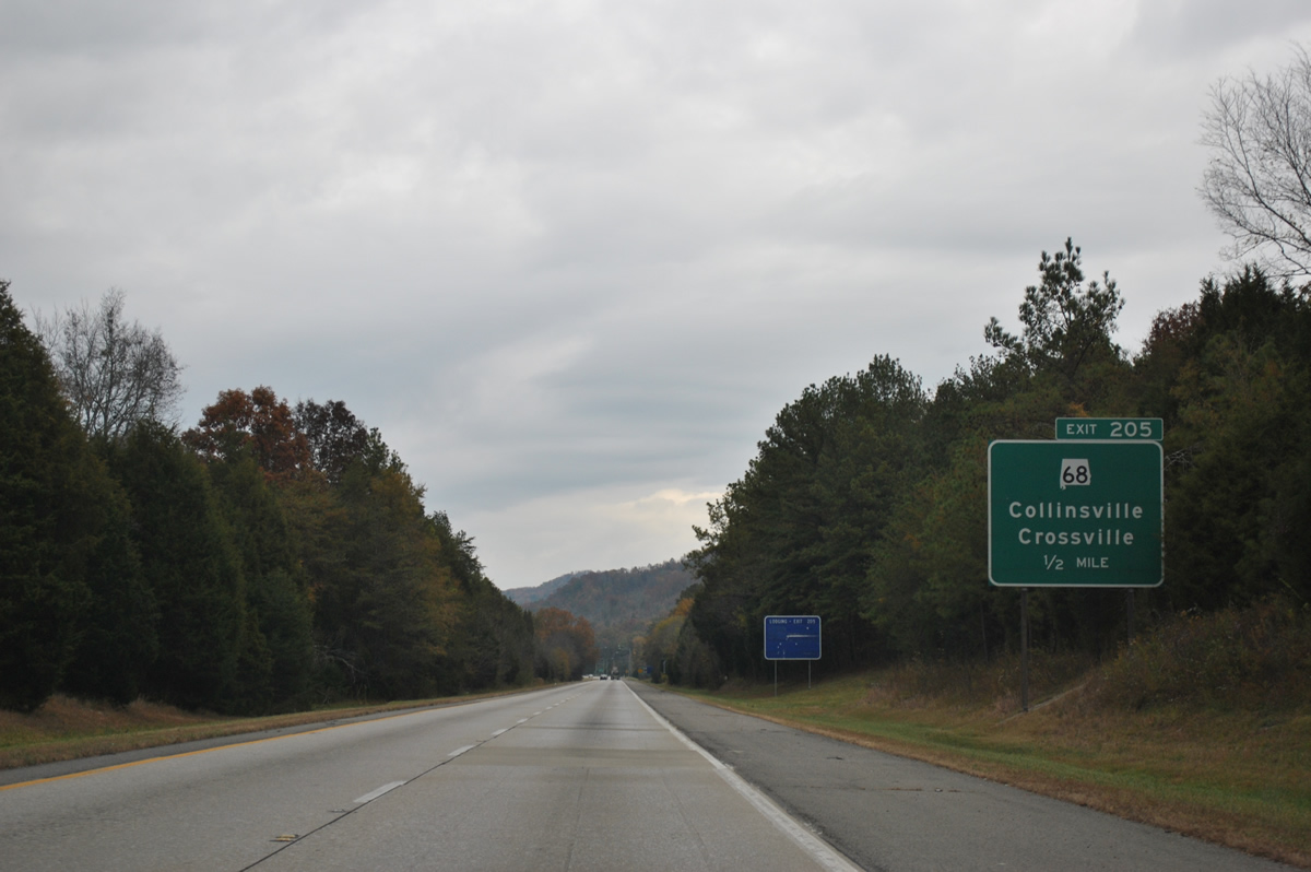
SR 698 winds west from Collinsville and Interstate 59 to Nicholson Gap across Sand Mountain en route to Dawson and Crossville. The state route ends at SR 75 in Marshall County.
11/03/11
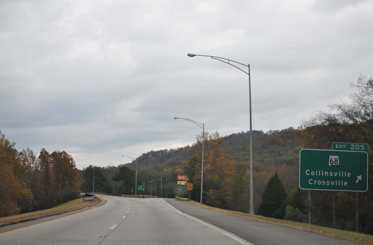
East from the town of Collinsville and Little Wills Valley, SR 698 climbs again onto Lookout Mountain to Leesburg in Cherokee County. The 52.93 mile long route of SR 698 becomes Georgia State Route 114 northeast of Gaylesville.
11/03/11
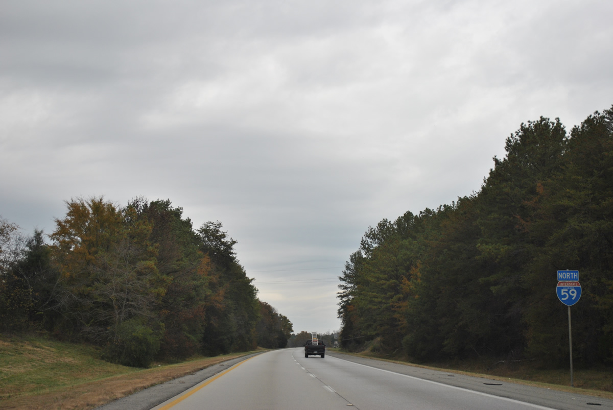
Interstate 59 remains along Big Ridge through Big Wills Valley to Fort Payne. Traffic counts are light with 15,340 vehicles per day recorded along this stretch in 2010.
11/03/11

The freeway enters the city limits of Fort Payne ahead of the CR 51 overpass. The next exit joins I-59 with SR 35, serving travelers bound for DeSoto State Park or Little River Canyon National Preserve to the east via CR 89 (Desoto Parkway) or SR 35.
11/03/11
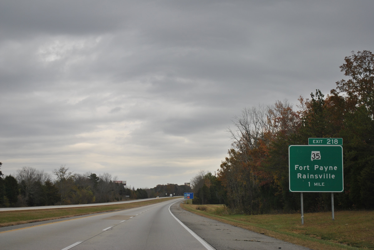
A commercialized diamond interchange (Exit 218) joins Interstate 59 with SR 35 (Glenn Boulevard) at Fort Payne in one mile.
11/03/11
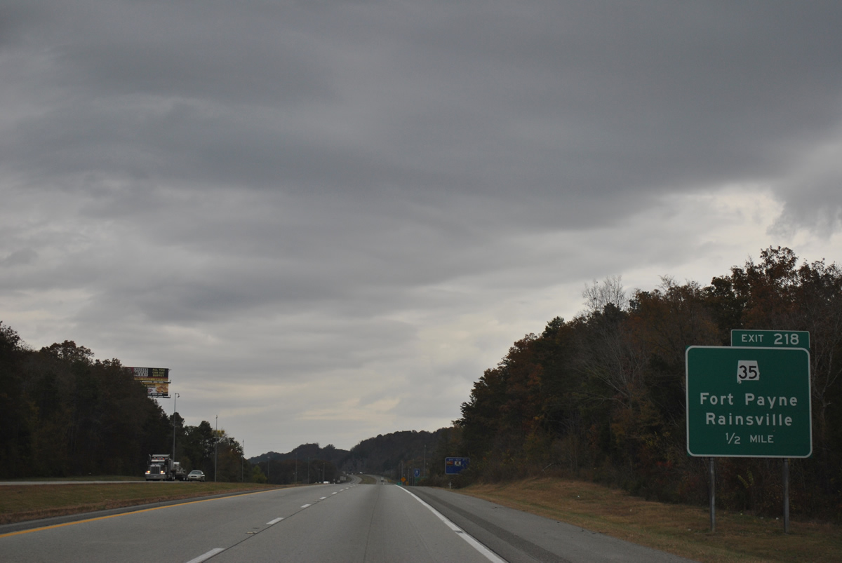
SR 35 combines with U.S. 11 (Gault Avenue) north through Downtown Fort Payne to 5th Street NE. The state route arcs southeast from the city onto Lookout Mountain to Blanche and Gaylesville in Cherokee County.
11/03/11
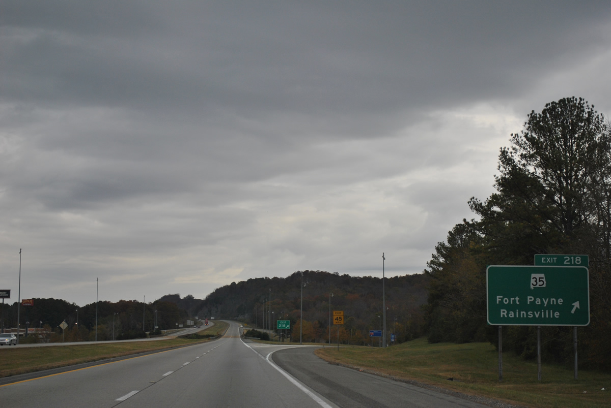
Northwest from Exit 218, SR 35 follows a four lane highway through Davis Gap across Sand Mountain eight miles to Rainsville. The 68.29 mile long route of SR 35 ends at U.S. 72 near Woodville in Jackson County.
11/03/11
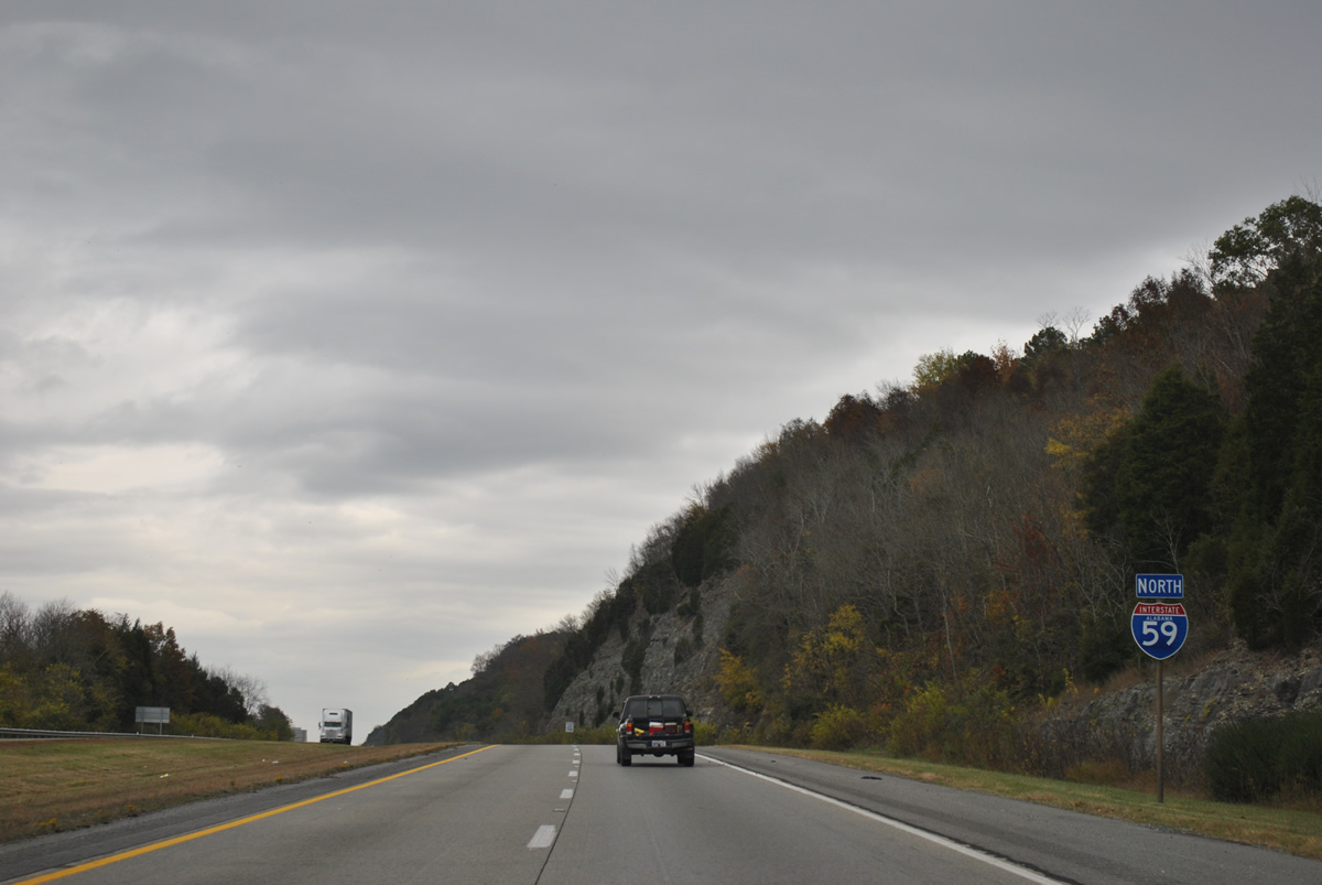
Interstate 59 remains within the Fort Payne city limits for seven more miles and the northward turn out of Big Wills Valley.
11/03/11
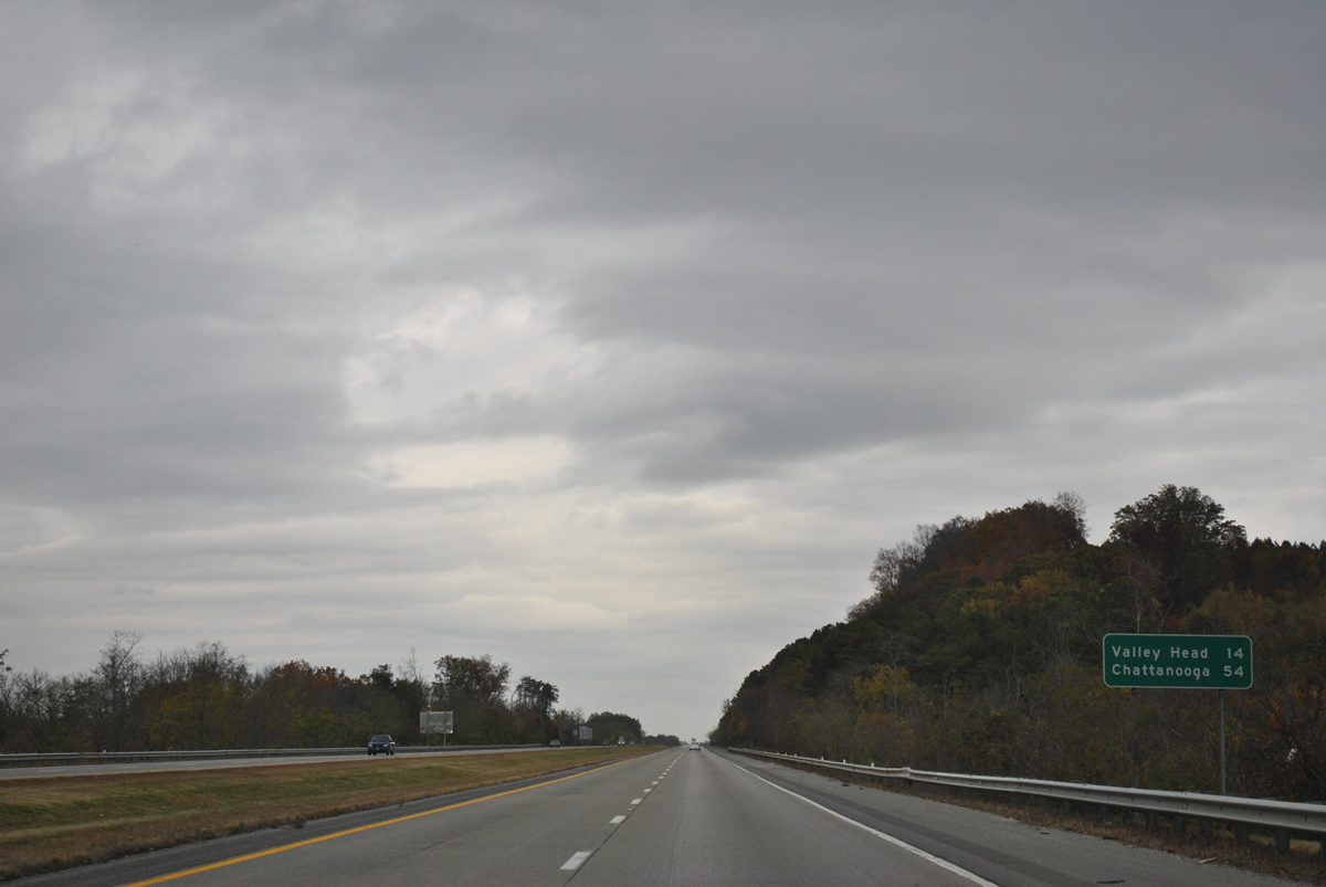
Valley Head is the next town along Interstate 59 in 14 miles while Chattanooga is 54 miles to the northeast.
11/03/11
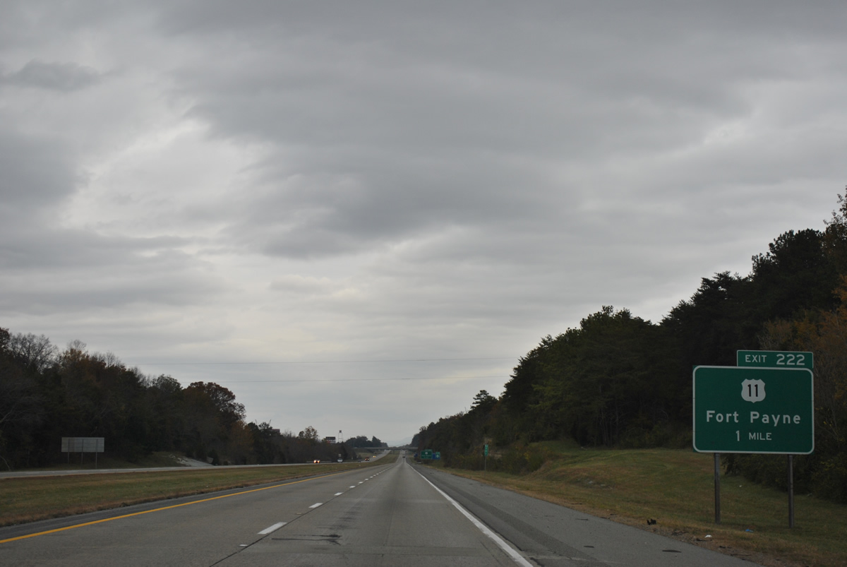
U.S. 11 curves northwest from Gault Avenue onto Veterans Memorial Parkway to meet Interstate 59 at a diamond interchange (Exit 222) in one mile.
11/03/11
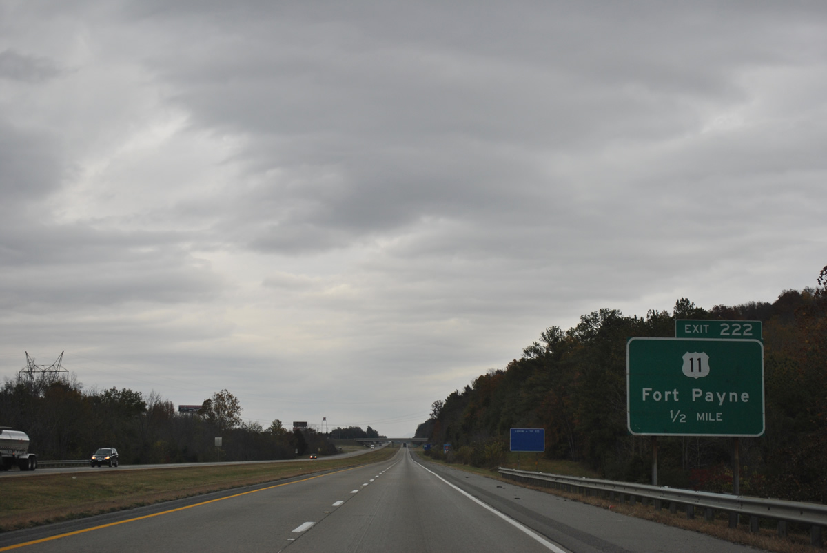
Crossing Big Ridge, U.S. 11 enters Big Wills Valley before turning northeast again by Isbell Field, the city airport of Fort Payne.
11/03/11
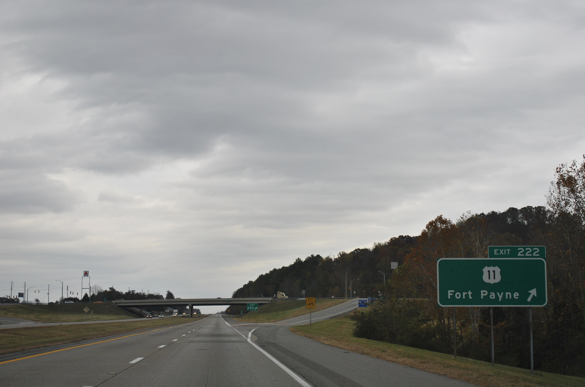
Exit 222 departs Interstate 59 north for U.S. 11 (Veterans Memorial Parkway). CR 137 continues Gault Avenue northeast from U.S. 11 through Railroad Valley and Valley Head as U.S. 11 stays west of Little Ridge to Hammondville.
11/03/11
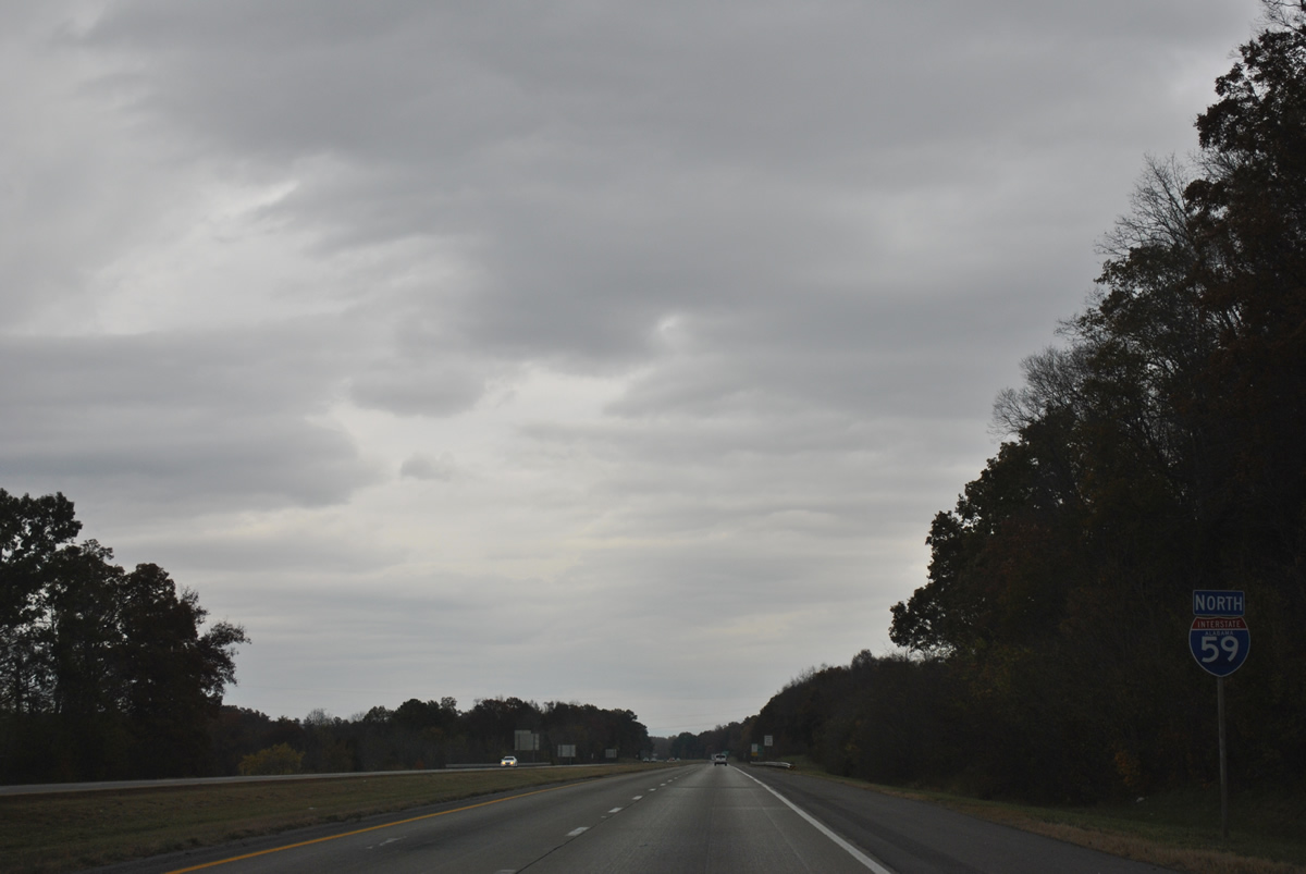
Reassurance marker posted for Interstate 59 beyond Exit 224. U.S. 11 swaps sides with the freeway again beyond forthcoming Exit 224.
11/03/11
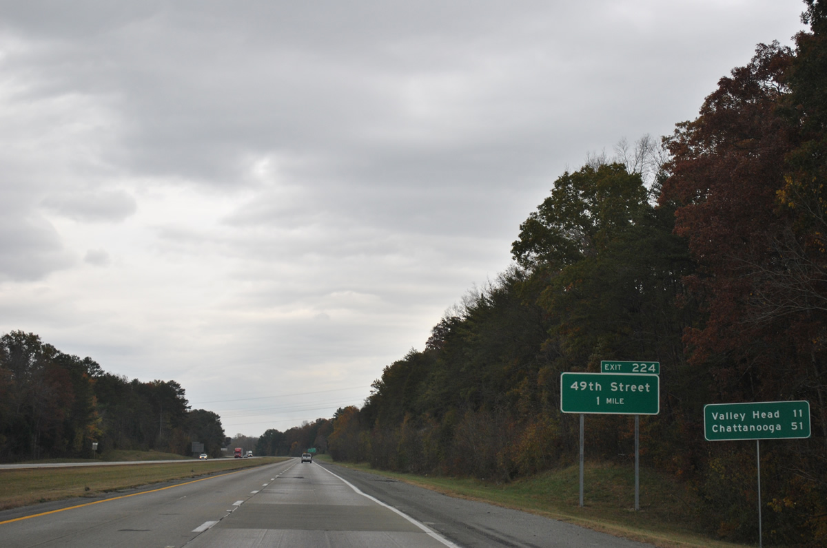
Opened on July 30, 2010 (WAFF, 2010), the diamond interchange with 49th Street in north Fort Payne preceded this distance sign posted 51 miles south of Chattanooga.
11/03/11
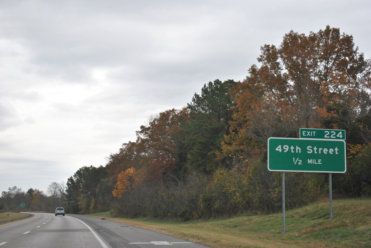
49th Street comprises a connector from U.S. 11 and Interstate 59 at Exit 224 to Dekalb County Route 137 (Gault Avenue) at Fort Payne Industrial Park.
11/03/11
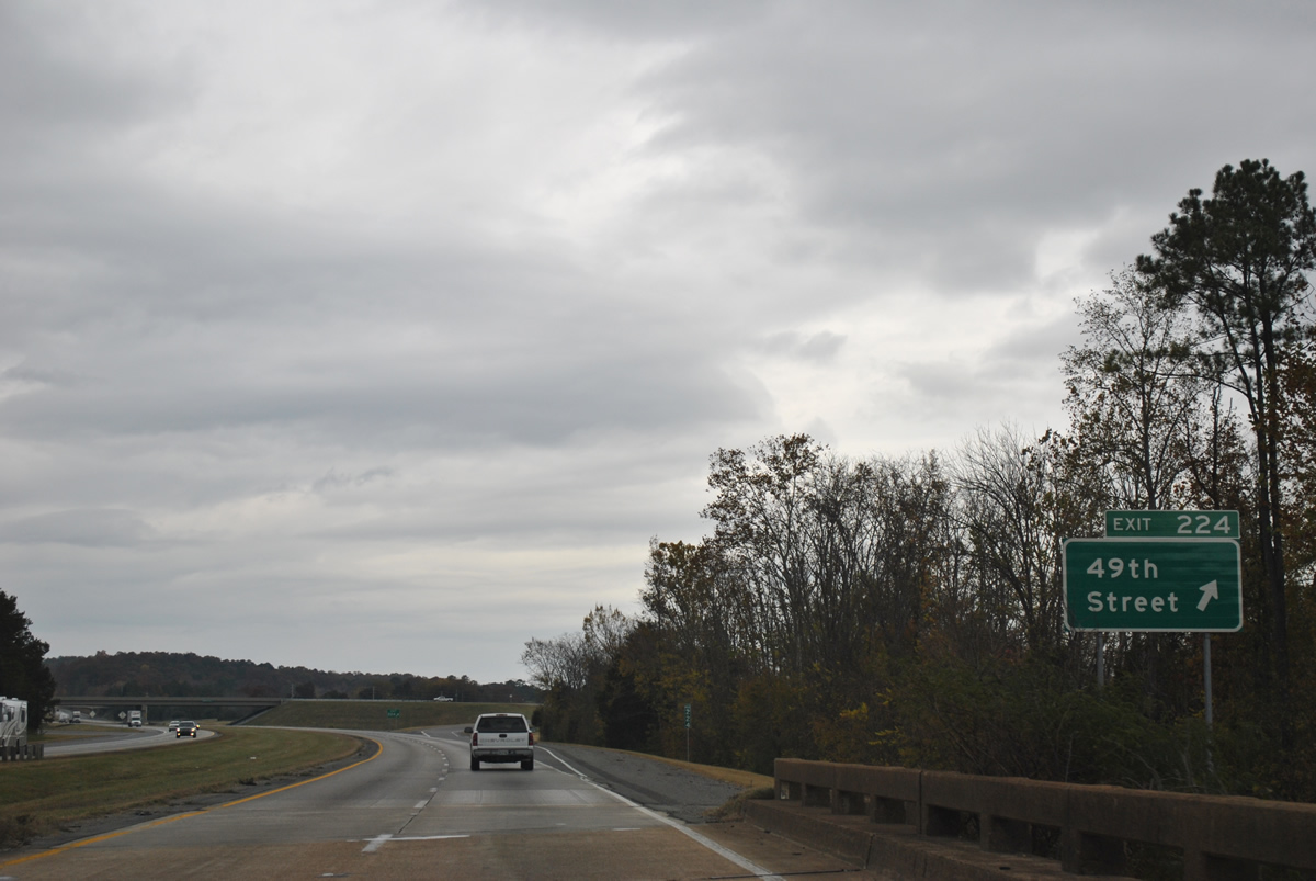
Interstate 59 crosses Big Wills Creek ahead of Exit 224 to 49th Street. 49th Street was built on a new alignment across Big Ridge to replace the narrow winding course of 48th Street between U.S. 11 and Gault Avenue.
11/03/11
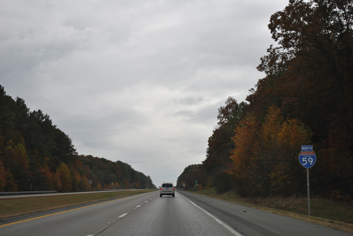
Climbing again on the stretch of Interstate 59 northbound to Dugout Valley.
11/03/11
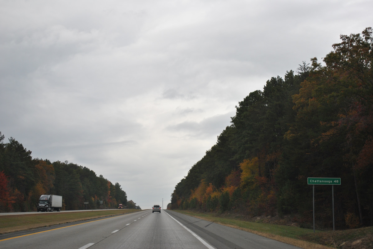
Chattanooga is 48 miles to the northeast. No other control points are used on northbound distance signs of I-59 to the Georgia state line.
11/03/11
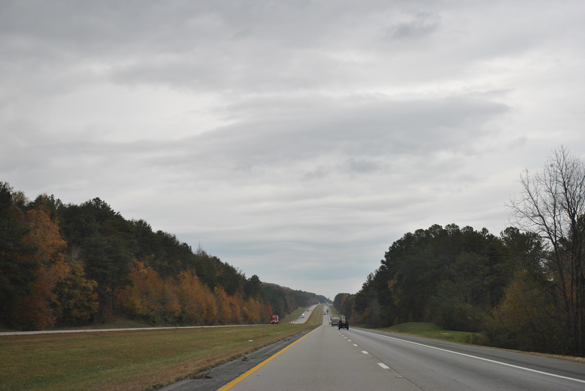
Lining Dugout Valley east of Sand Mountain and west of Big Ridge in this scene of Interstate 59 north.
11/03/11
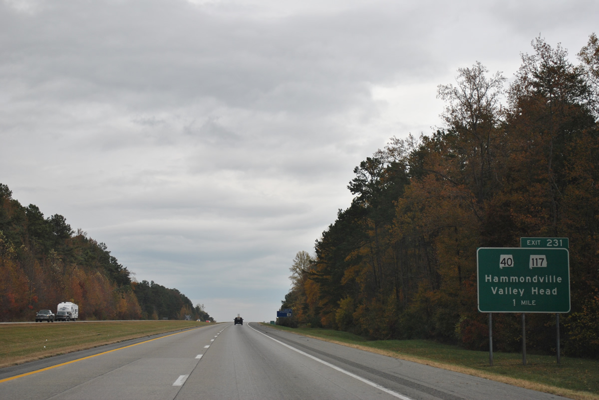
Advancing to the town of Hammondville, I-59 meets SR 117 at Exit 231. SR 40 splits with SR 117, 1.52 miles to the west and travels 21.18 miles to Henagar and SR 35 at its crossing of Guntersville Lake.
11/03/11
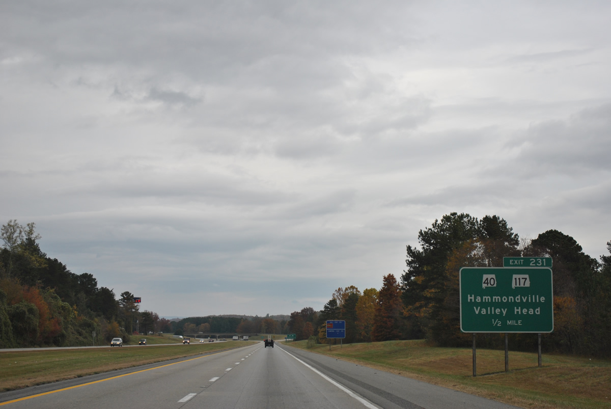
A diamond interchange joins I-259 with SR 117 at Exit 231 in Hammondville. SR 117 lowers from Big Ridge 1.25 miles to a short overlap with U.S. 11 before resuming eastward across Little Ridge into Valley Head.
11/03/11
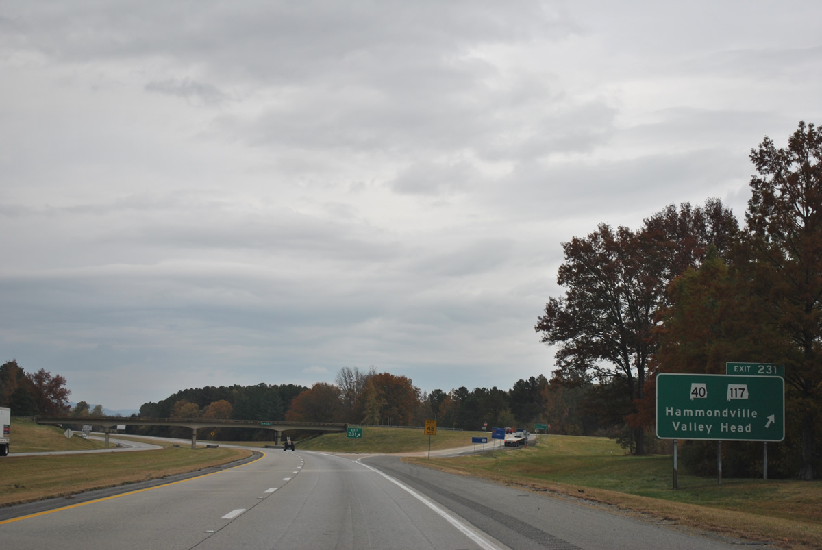
SR 117 travels 50.16 miles overall between Georgia State Route 48, eight miles southeast of Mentone, to Stevenson and Tennessee State Route 56 north of Pleasants Groves.
11/03/11
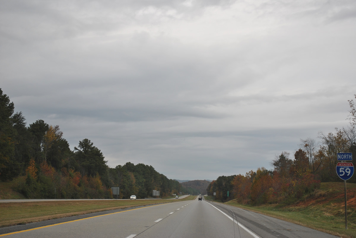
Heading north from Hammondville, Interstate 59 continues through Dugout Valley.
11/03/11
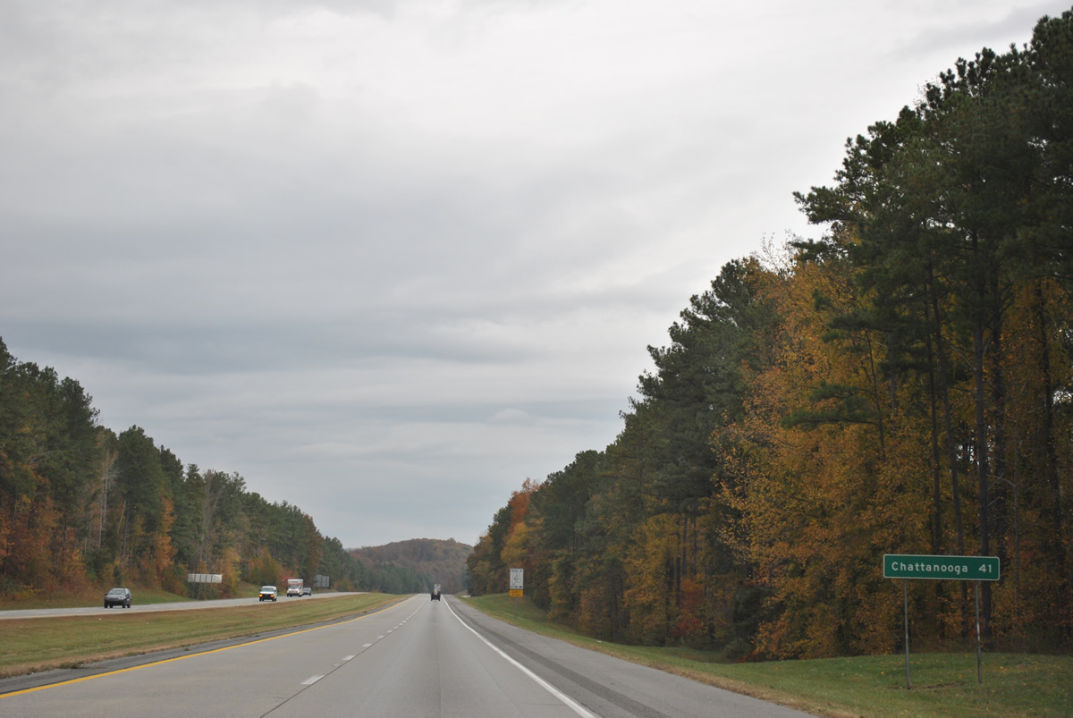
I-59 ends in 34 miles at Interstate 24, seven miles west of Chattanooga, Tennessee.
11/03/11
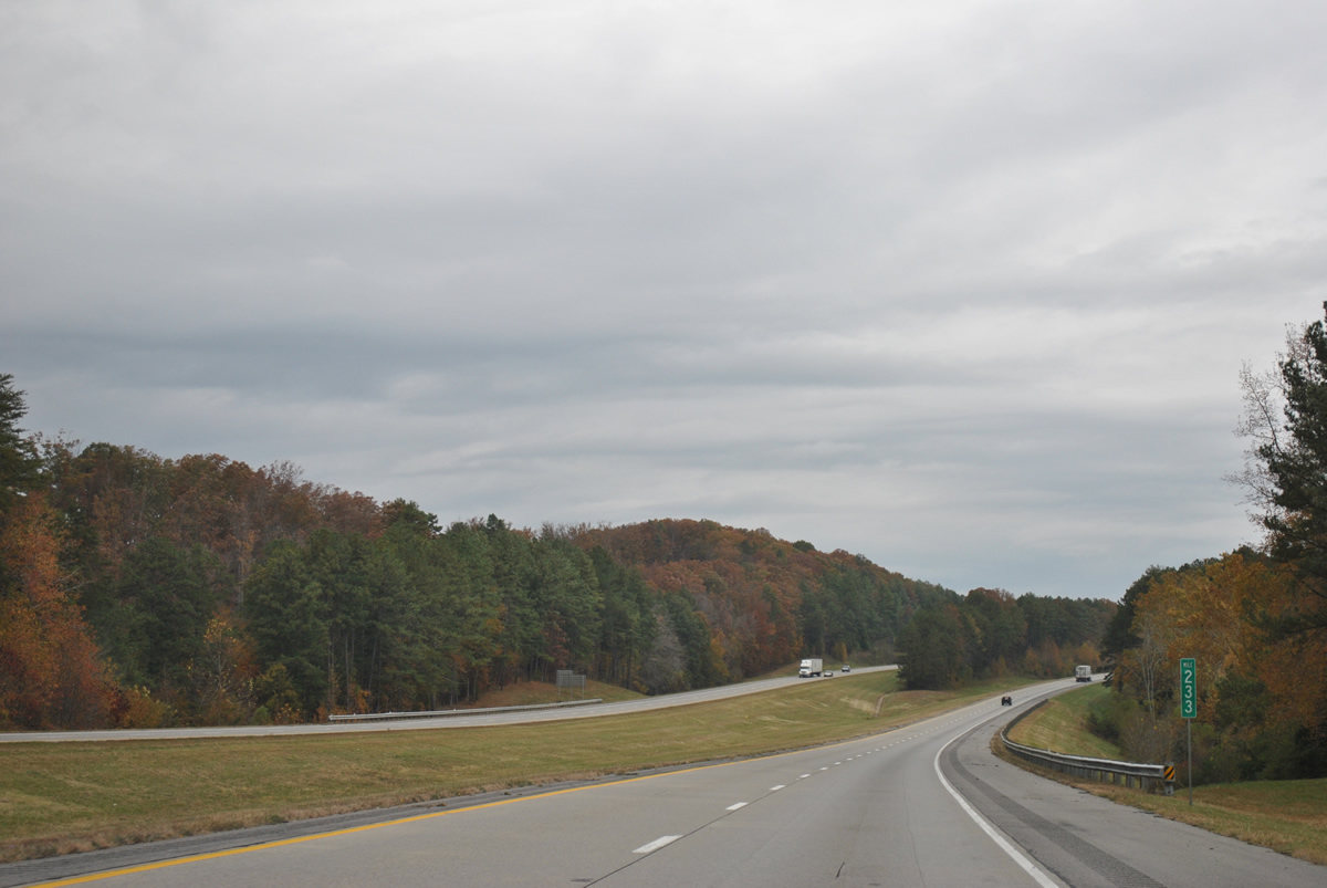
Curving eastward parallel to Dry Ridge and Little Ridge along Interstate 59 north at milepost 233.
11/03/11
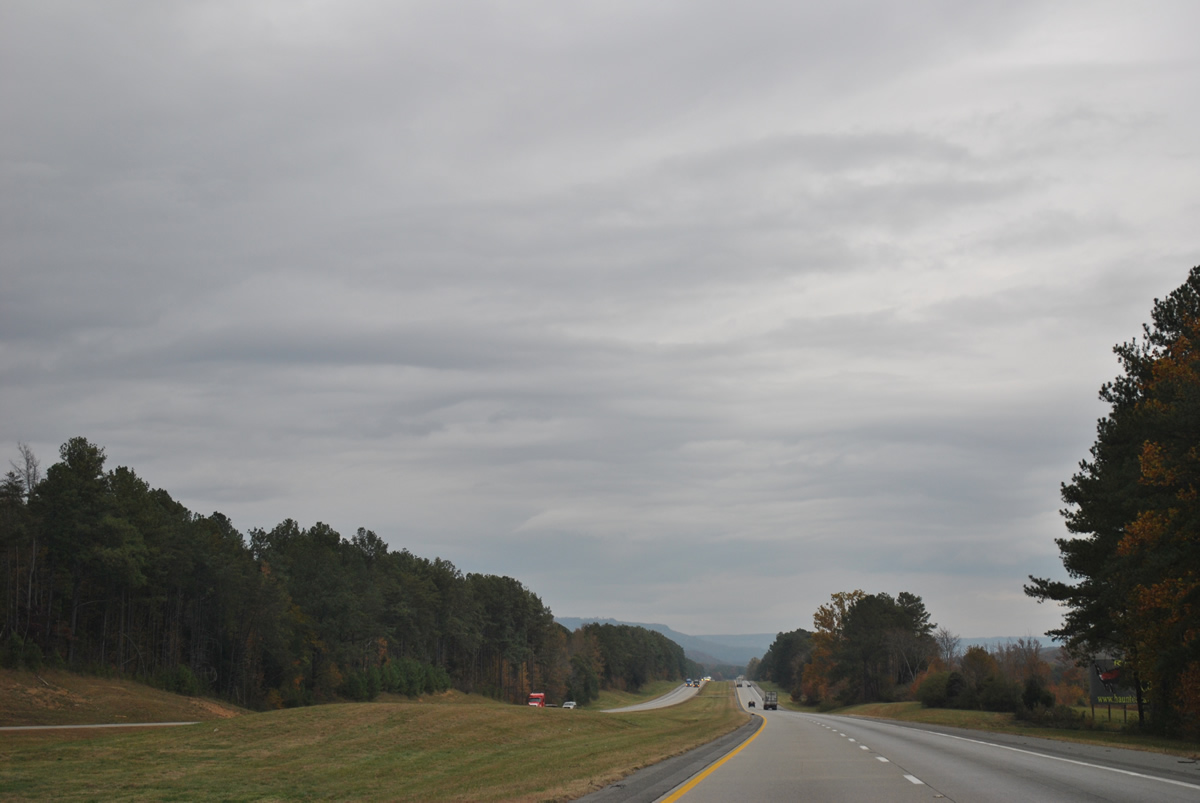
Lookout Mountain in Dade County, Georgia appears on the northern horizon from Interstate 59 ahead of milepost 235 through Dugout Valley.
11/03/11
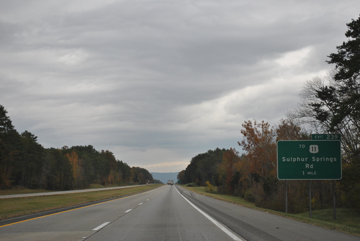
Dekalb County Route 140 meets Interstate 59 at the final Alabama exit in one mile by Sulphur Springs.
11/03/11
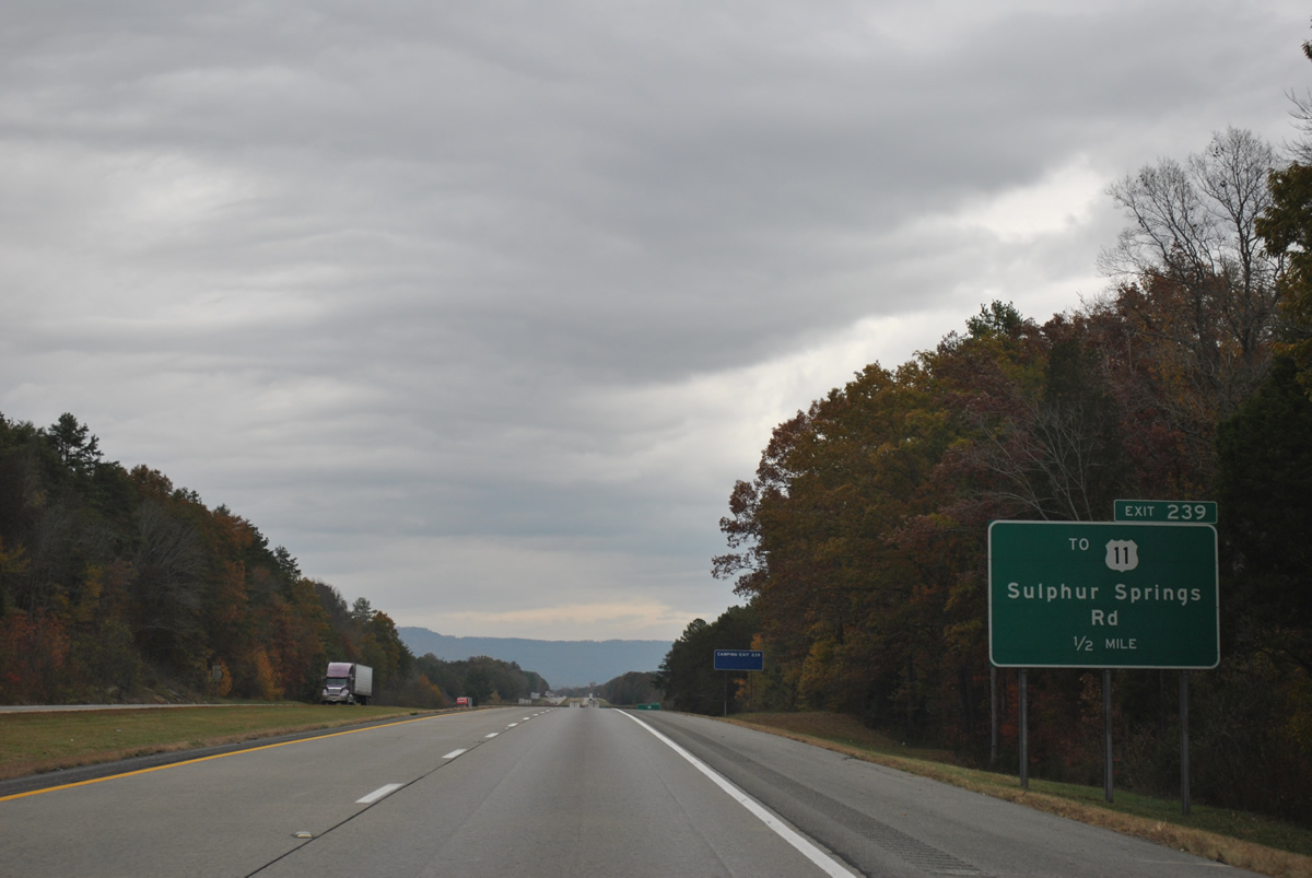
County Route 140 stems west from adjacent U.S. 11 to the diamond interchange at Exit 239.
11/03/11
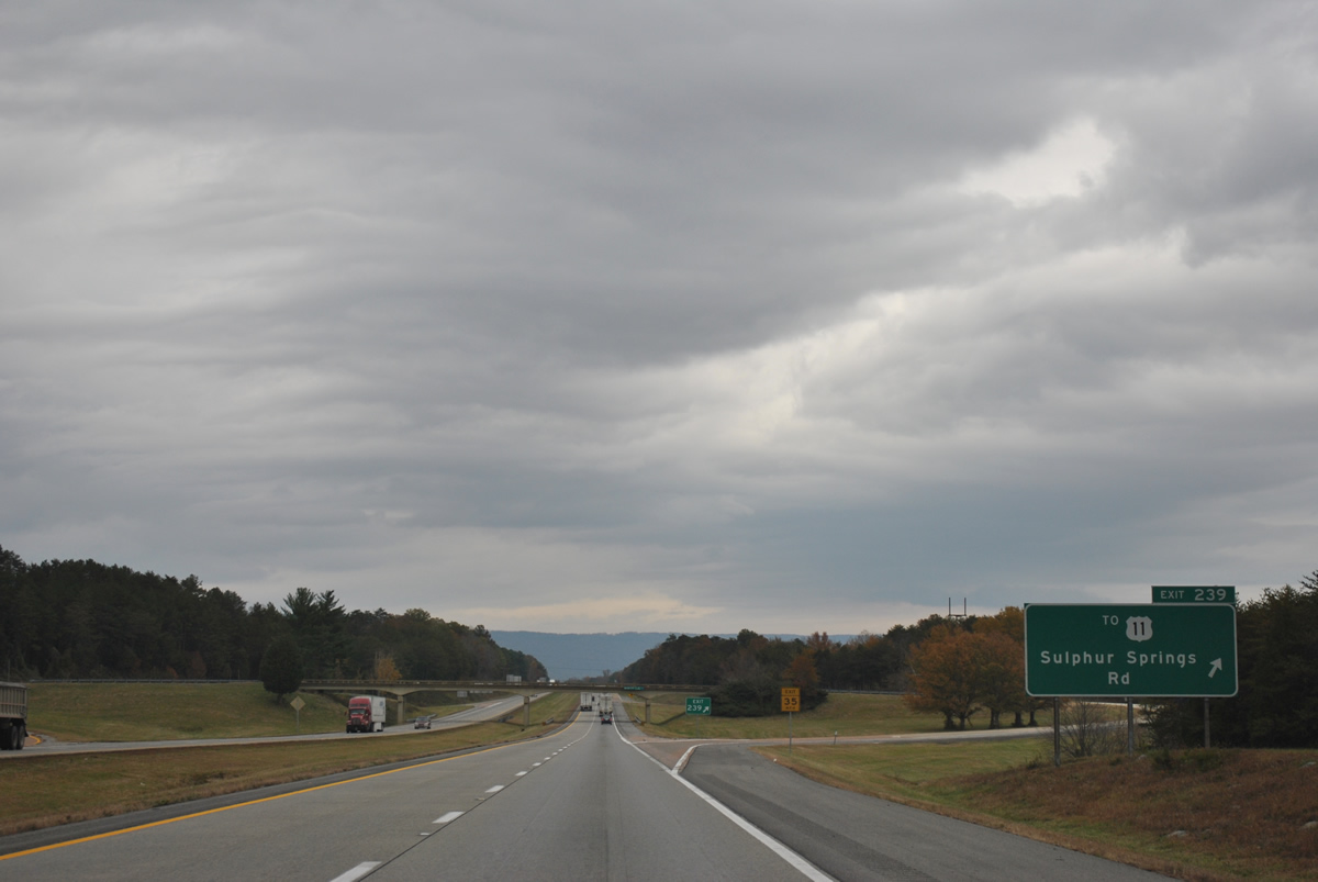
Sulphur Springs is located nearby via CR 739 from CR 140 and I-59 at Exit 239. CR 140 meanders westward onto Sand Mountain to SR 75 at the town of Ider.
11/03/11
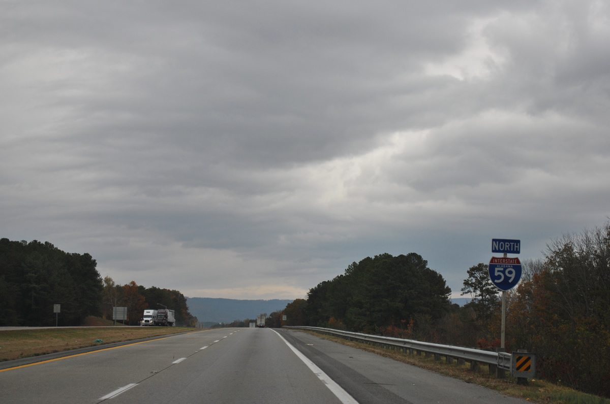
The final confirming marker for Interstate 59 northbound posted within Alabama.
11/03/11
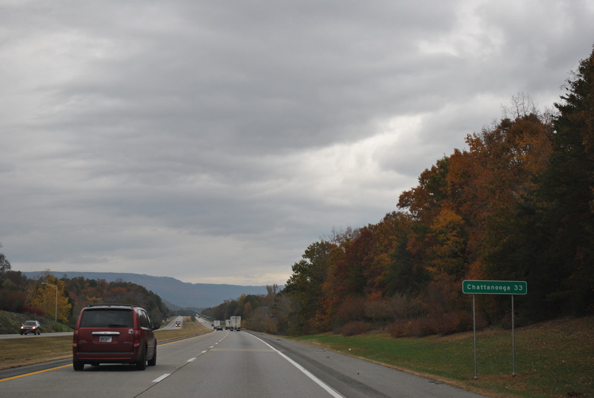
Interstate 59 encircles Fox Mountain to Rising Fawn, Georgia. Chattanooga is a half hour drive to the northeast.
11/03/11
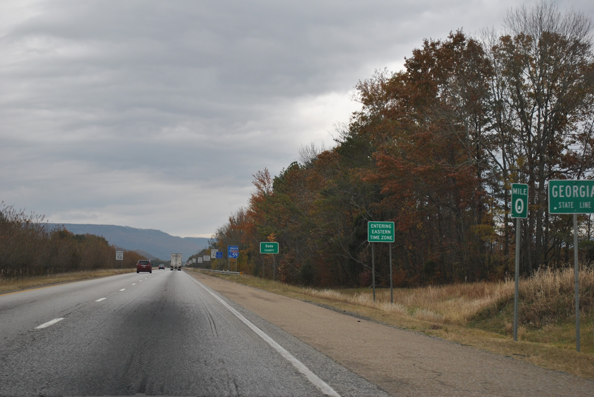
Entering Dade County, Georgia along Interstate 59 north. The state boundary separates Central from Eastern Time Zones with northbound travelers losing an hour.
11/03/11
References:
New interchange opens in Dekalb County. (2010, July 31). WAFF. https://www.waff.com/story/12902774/new-interchange-opens-in-dekalb-county/?clienttype=printable&redirected=true
Photo Credits:
- ABRoads: 11/03/11
- Alex Nitzman, JP Nasiatka: 07/26/22
Connect with:


Page Updated Monday March 02, 2026.