
Interstate 64 West - Virginia to Green Sulphur Springs

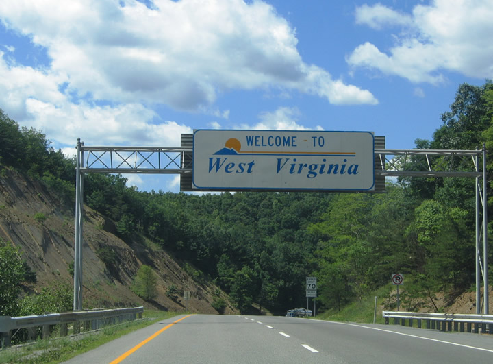
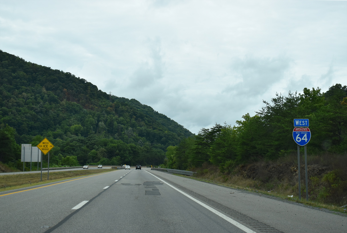
Welcome to West Virginia overhead posted as the freeway enters Greenbrier County from Alleghany County, Virginia. U.S. 60 joins Interstate 64 west from Covington to Exit 181.
06/17/05
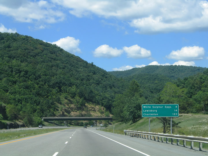
Distance sign posted four miles east of White Sulphur Springs, at a wye interchange with the north end of WV 311, a multi state route leading south to Crows, Virginia and Sweet Springs, West Virginia.
06/17/05
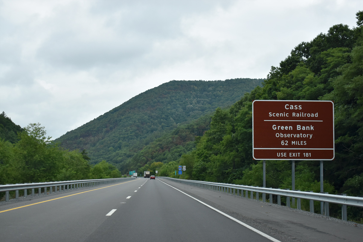
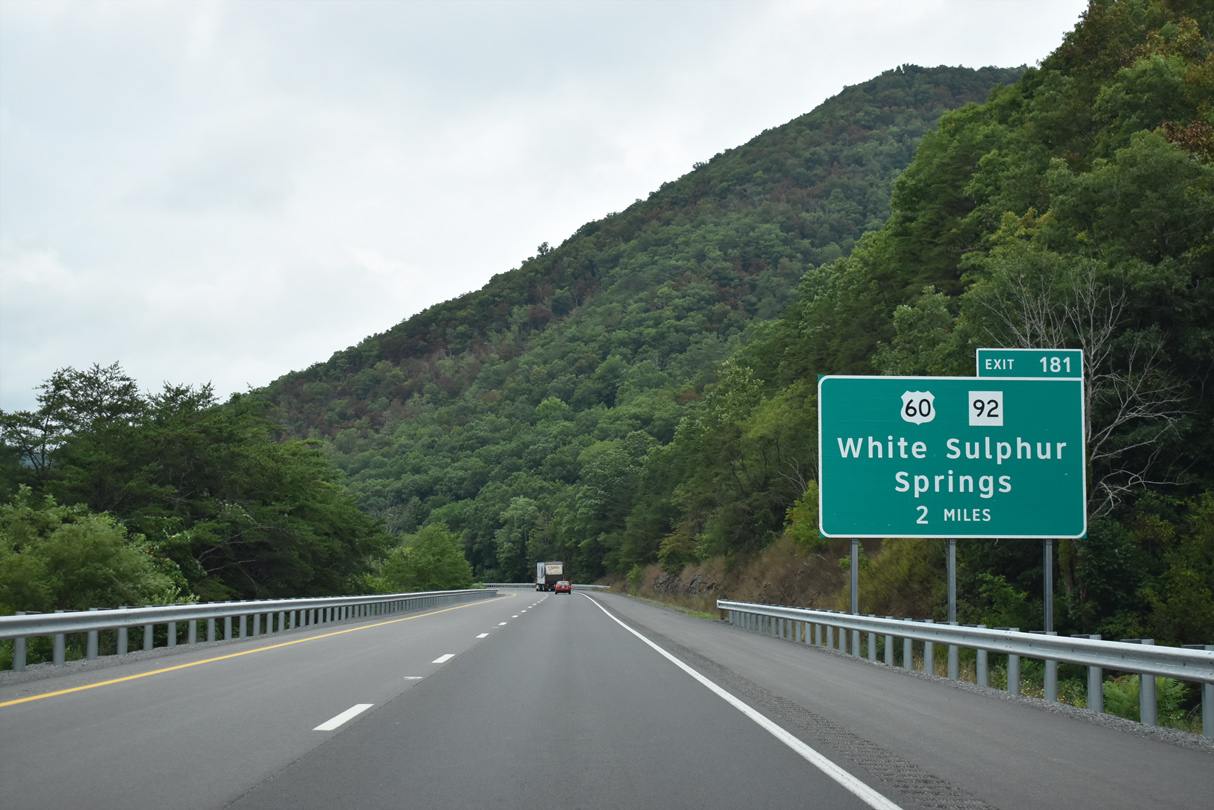
I-64/U.S. 60 west split outside of White Sulphur Springs at Exit 181. Exit 181 serves the Cass Scenic Railroad and long distance interests to the National Radio Astronomy Observatory at Green Bank.
08/15/21
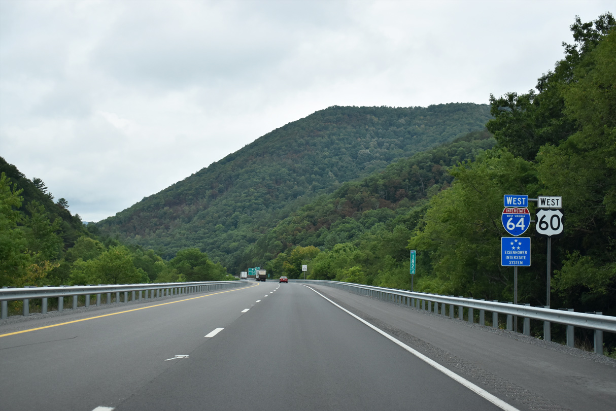
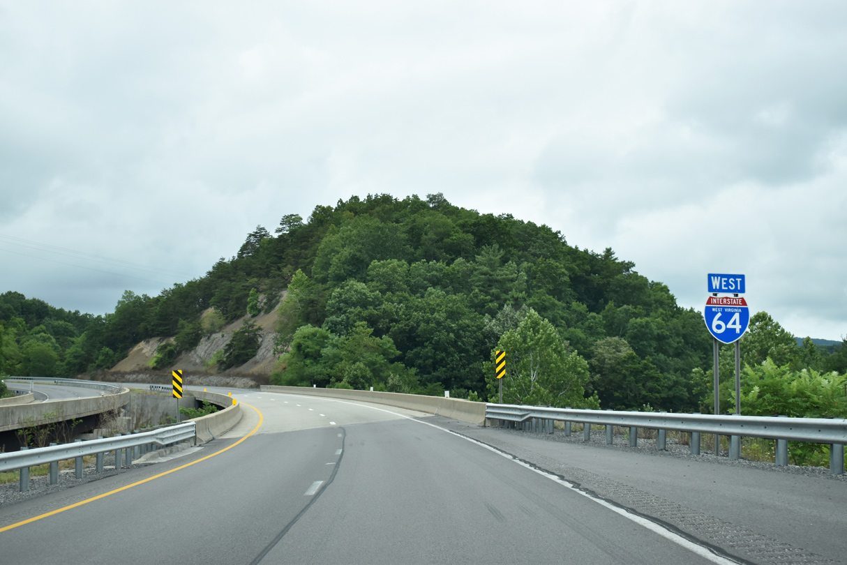
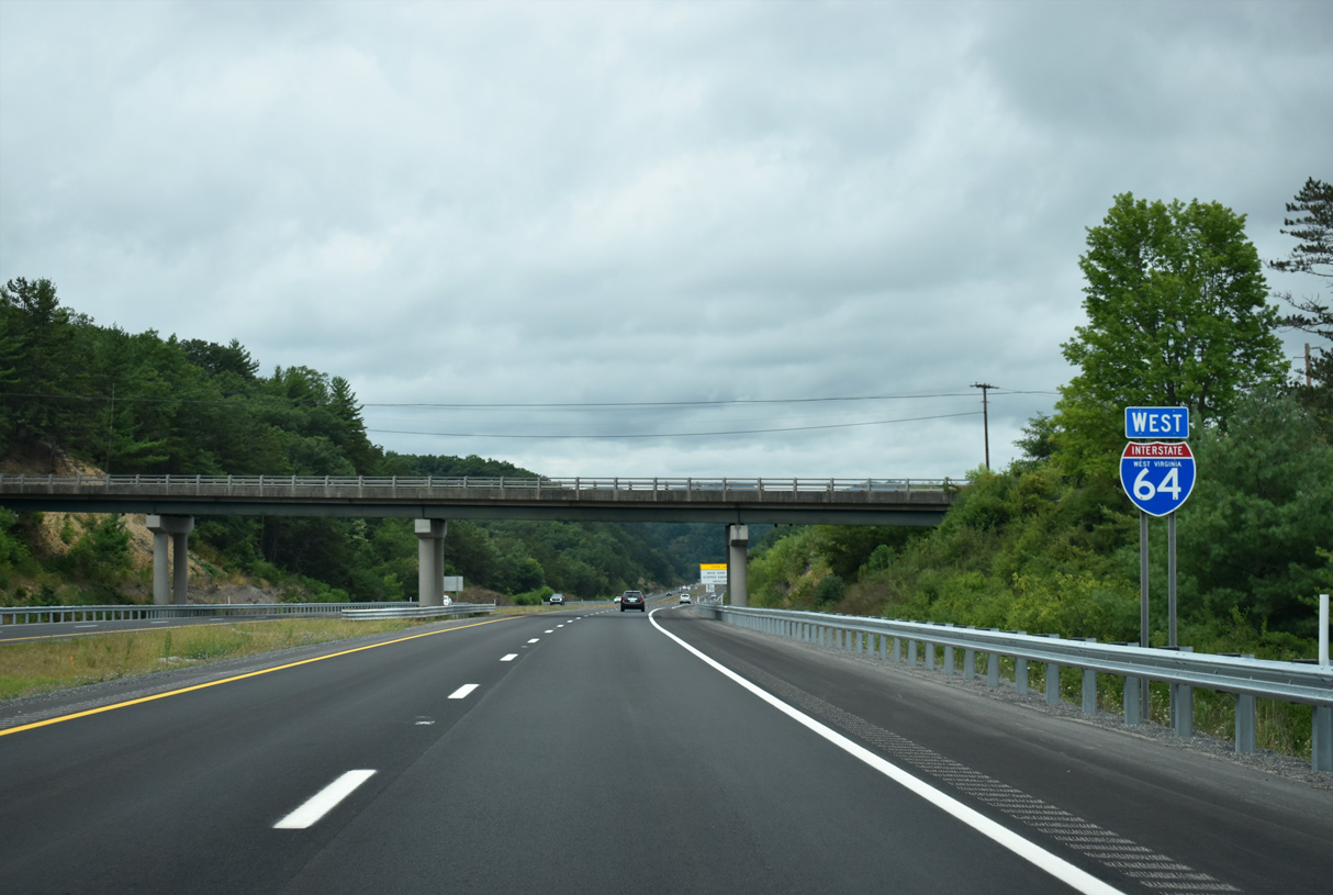
Reassurance shields posted west of the entrance ramp from MSR 311.
08/15/21
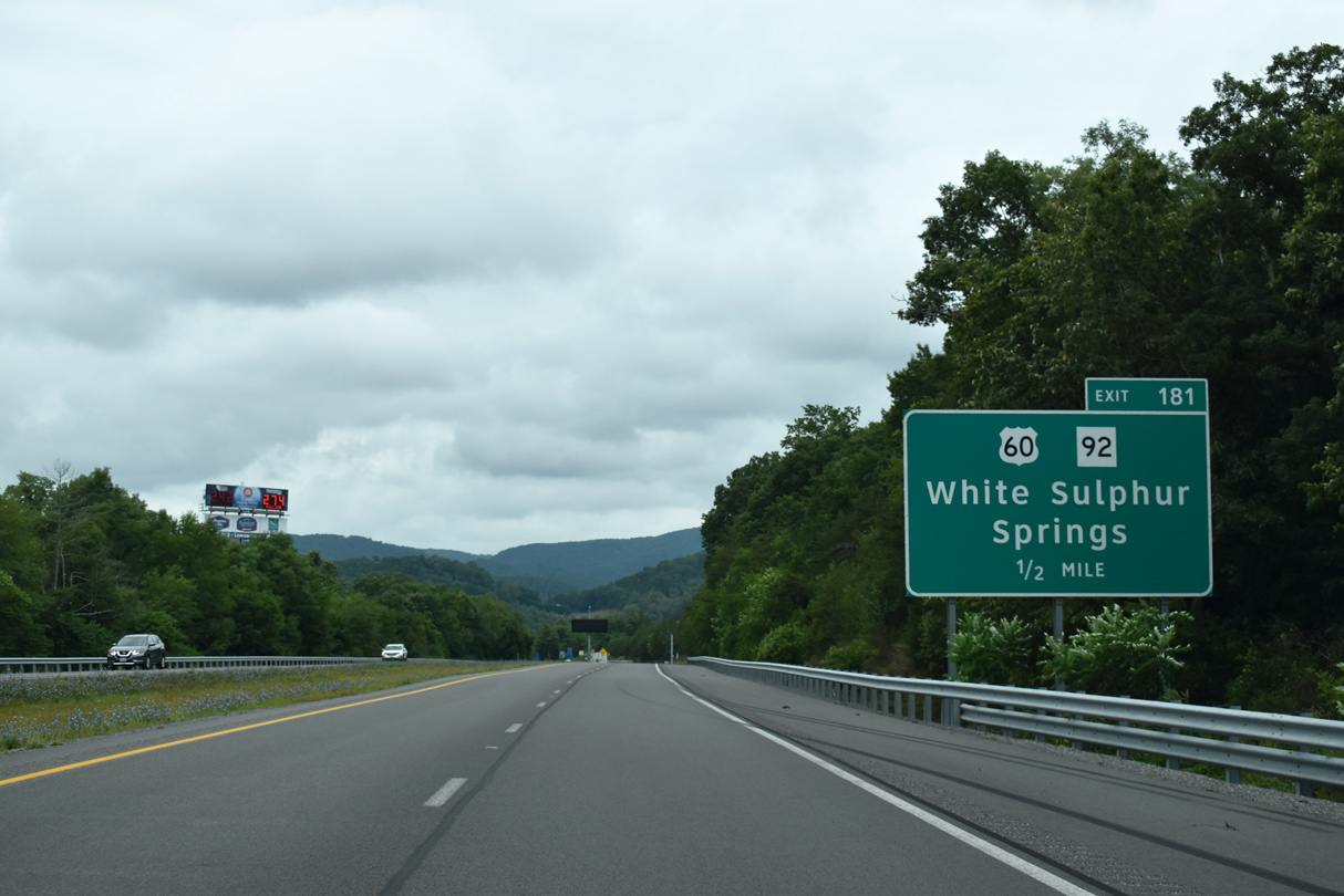
U.S. 60 leaves I-64 at a half diamond interchange for Main Street through White Sulphur Springs. U.S. 60 briefly combines with WV 92 nearby. WV 92 begins in White Sulphur Springs and travels north nine miles to Alvon and 15 miles to Neola.
08/15/21

Hulett Carlson Smith served as the 27th governor of West Virginia between 1965 and 1969.
08/15/21
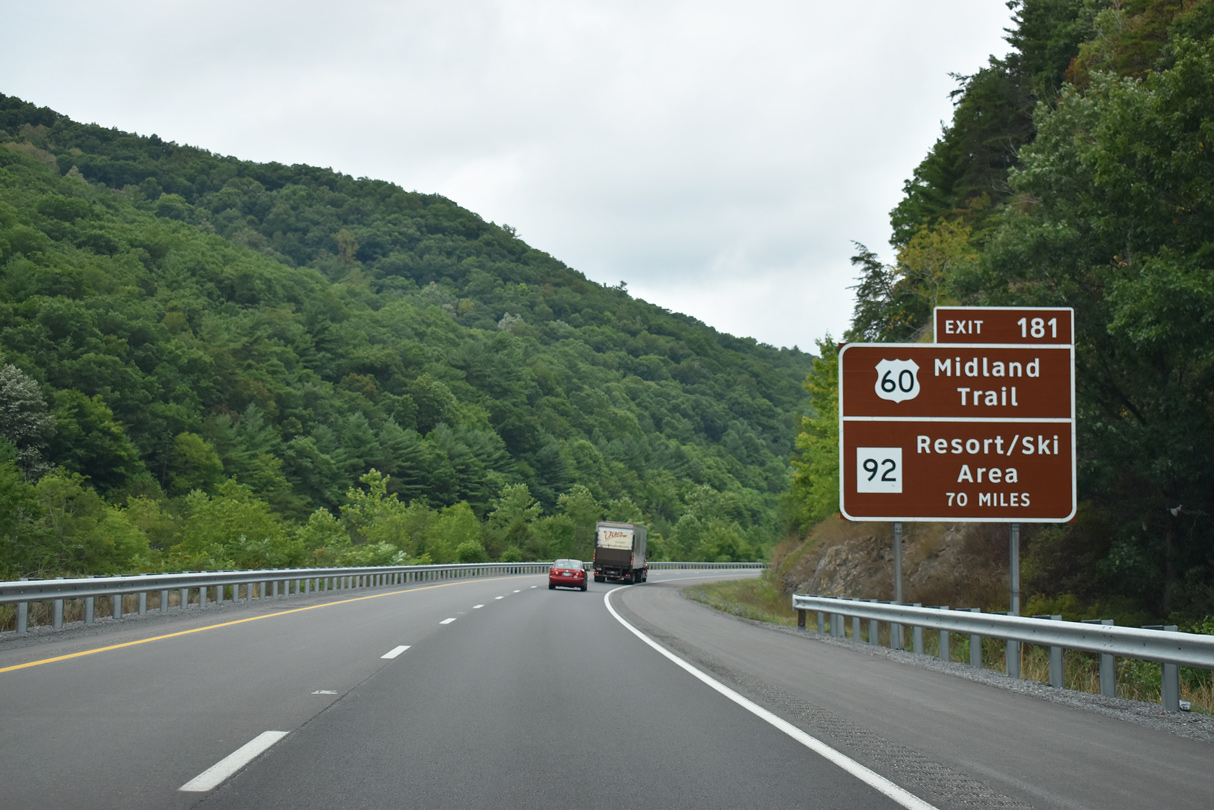
U.S. 60 follows the Midland Trail Scenic Highway through southeastern West Virginia, a corridor marked by history, outdoor experiences and attractions. WV 92 leads toward the Elk River and Snowshoe Ski Areas within Monongahela National Forest.
08/15/21
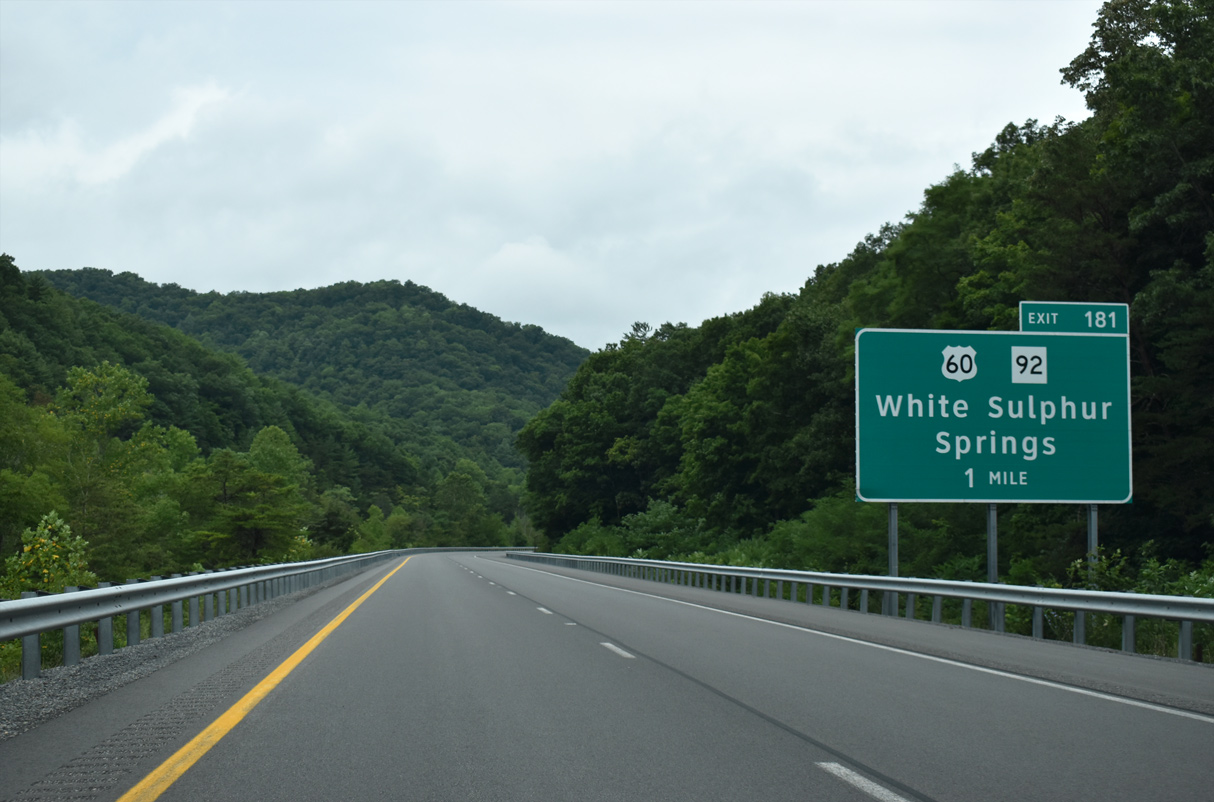
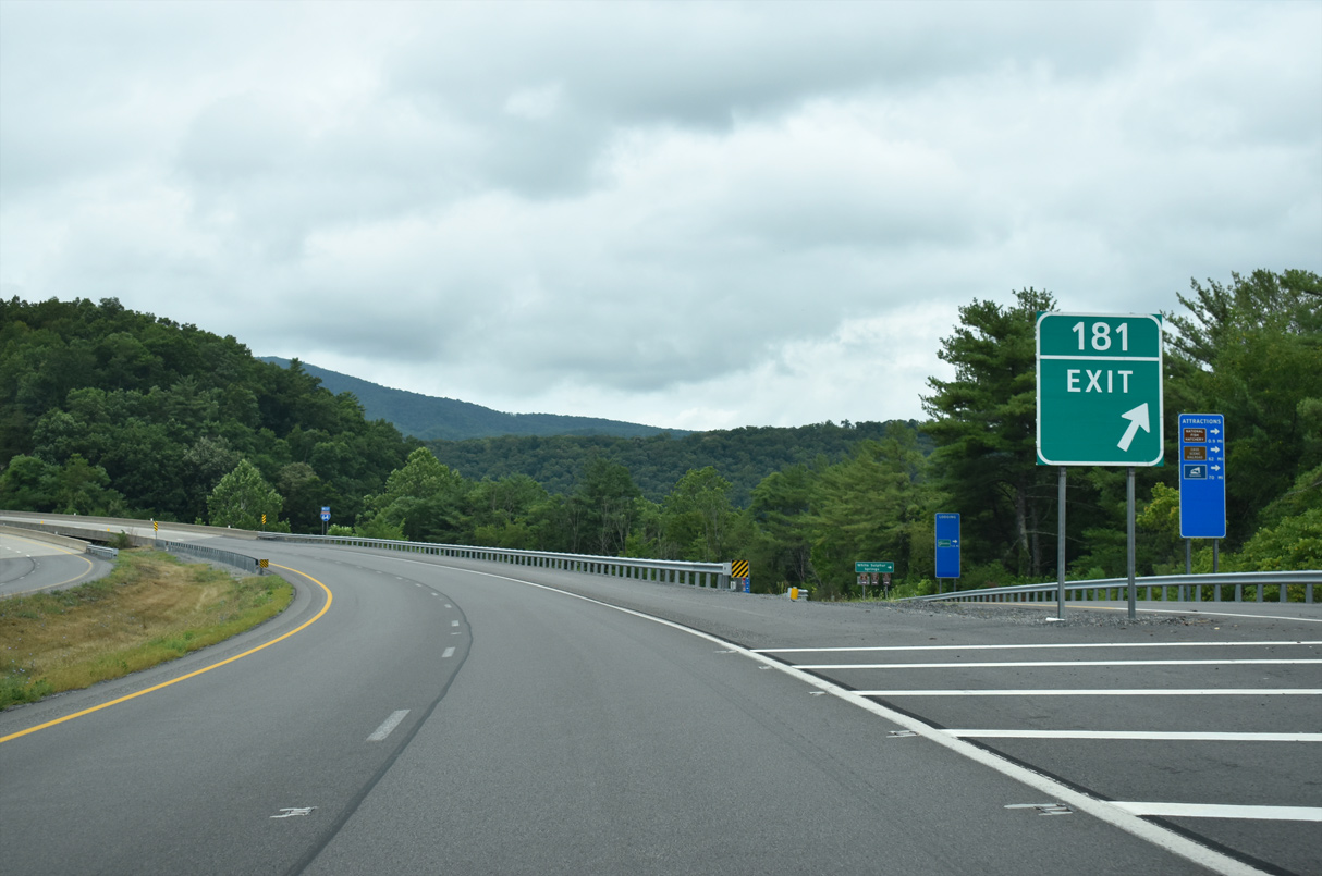
Exit 181 departs in one mile for U.S. 60/WV 92 (Main Street) west and White Sulphur Springs. U.S. 60 splits with WV 92 in 0.6 miles before curving west into the heart of town. The US highway remains on its own alignment parallel to Interstate 64 to Exit 156.
08/15/21
Exit 181 leaves Interstate 64 west for Main Street in White Sulphur Springs. WV 92 runs 162.3 miles north from Exit 181 along the Appalachian Mountains to Elkins and WV 7 in Reedsville.
08/15/21
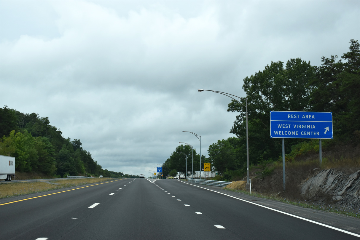
I-64 angles southwest from U.S. 60 (Exit 181) to the West Virginia Welcome Center and rest area next.
08/15/21

The West Virginia Welcome Center and first rest area along Interstate 64 west lies south of White Sulphur Springs one mile ahead.
08/15/21
I-64 spans the crossings of Tuckahoe Road, Dry Creek and a CSX Railroad on the ensuing stretch.
08/15/21
Interstate 64 rises from Dry Creek to the rest area and Welcome Center.
08/15/21
Kates Mountain Road spokes southward from U.S. 60, spanning Interstate 64 beyond the Welcome Center.
08/15/21
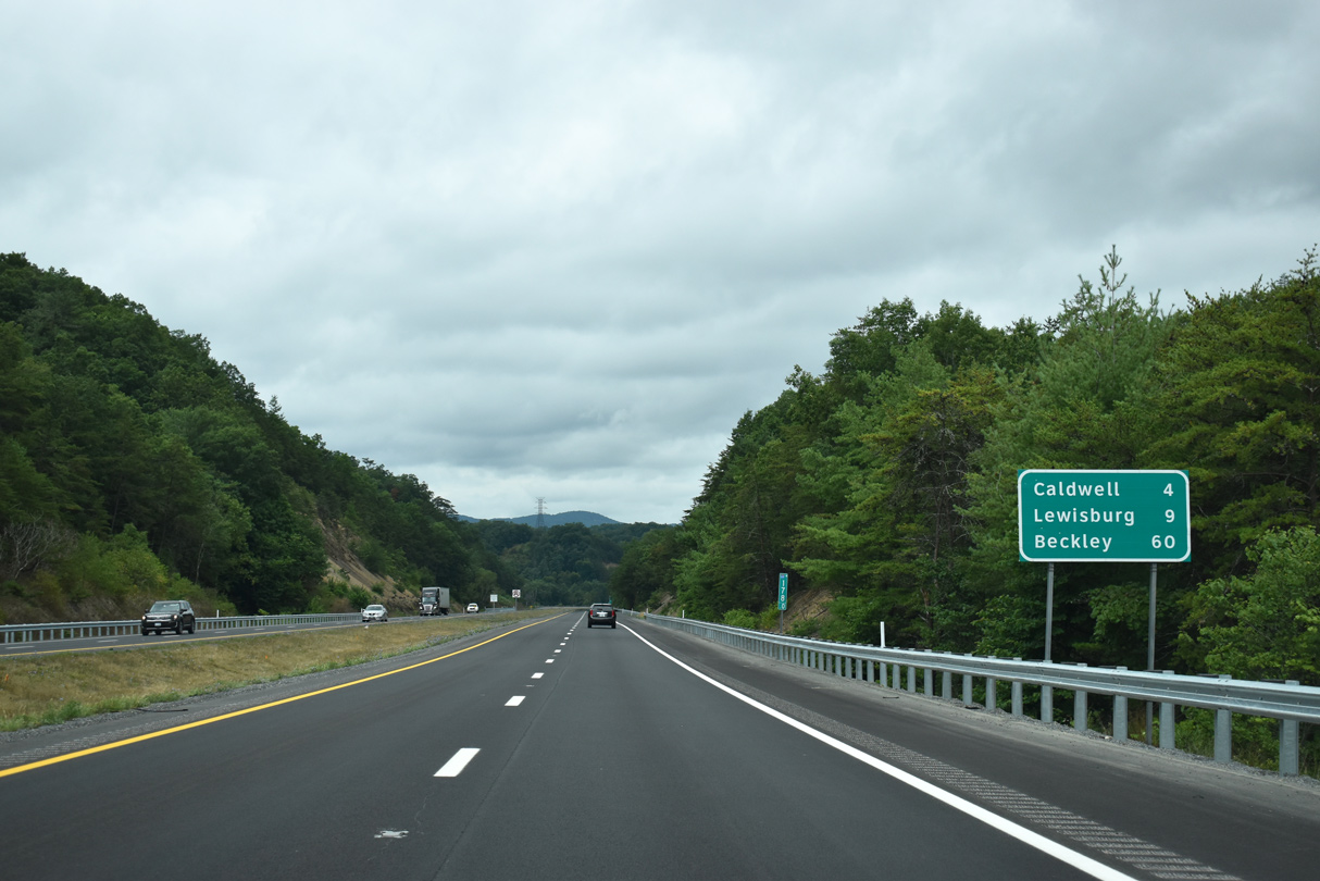
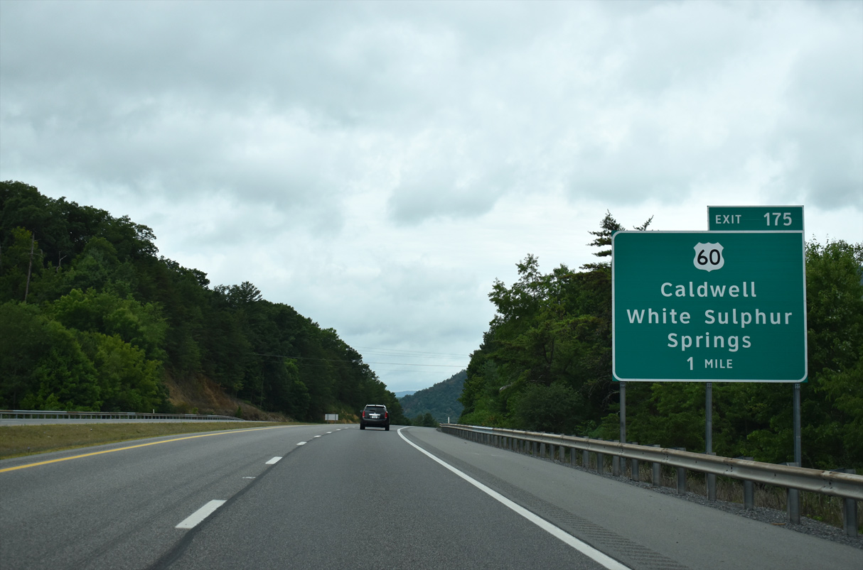
Caldwell and Beckley replaced White Sulphur Springs and Charleston as destinations by 2015. Caldwell is located at the confluence of Howard Creek and the Greenbrier River along U.S. 60.
08/15/21
Interstate 64 passes to the north of Kates Mountain (el. 3,330 ft) two miles out from Harts Run Road (Exit 175) to U.S. 60.
08/15/21

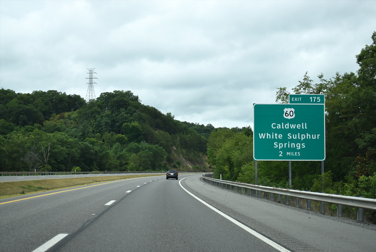
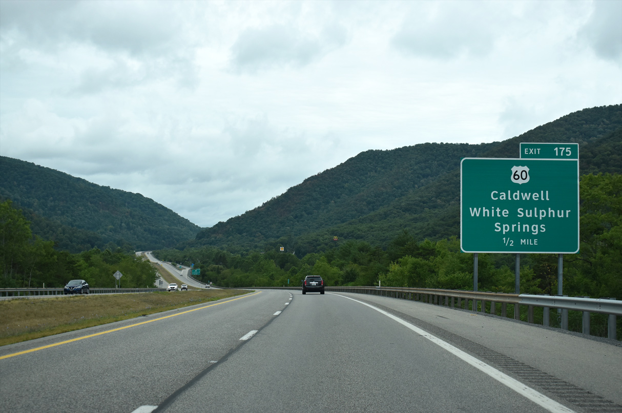
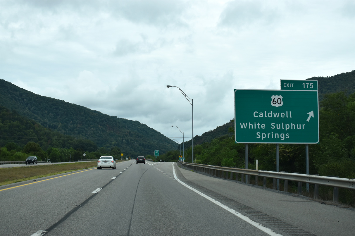
Harts Run Road (County Route 60/14) connects Interstate 64 with Greenbrier State Forest to the south of the upcoming diamond interchange (Exit 175).
08/15/21
U.S. 60 continues west from White Sulphur Springs alongside Greenbrier Sporting Club golf course to County Route 60/14 (Harts Run Road) at Harts Run.
08/15/21
U.S. 60 heads west from CR 60/14, 2.5 miles to Caldwell and WV 63. WV 63 travels south six miles to U.S. 219 at Organ Cave. Harts Run Road meanwhile travels south into Greenbrier State Forest.
08/15/21
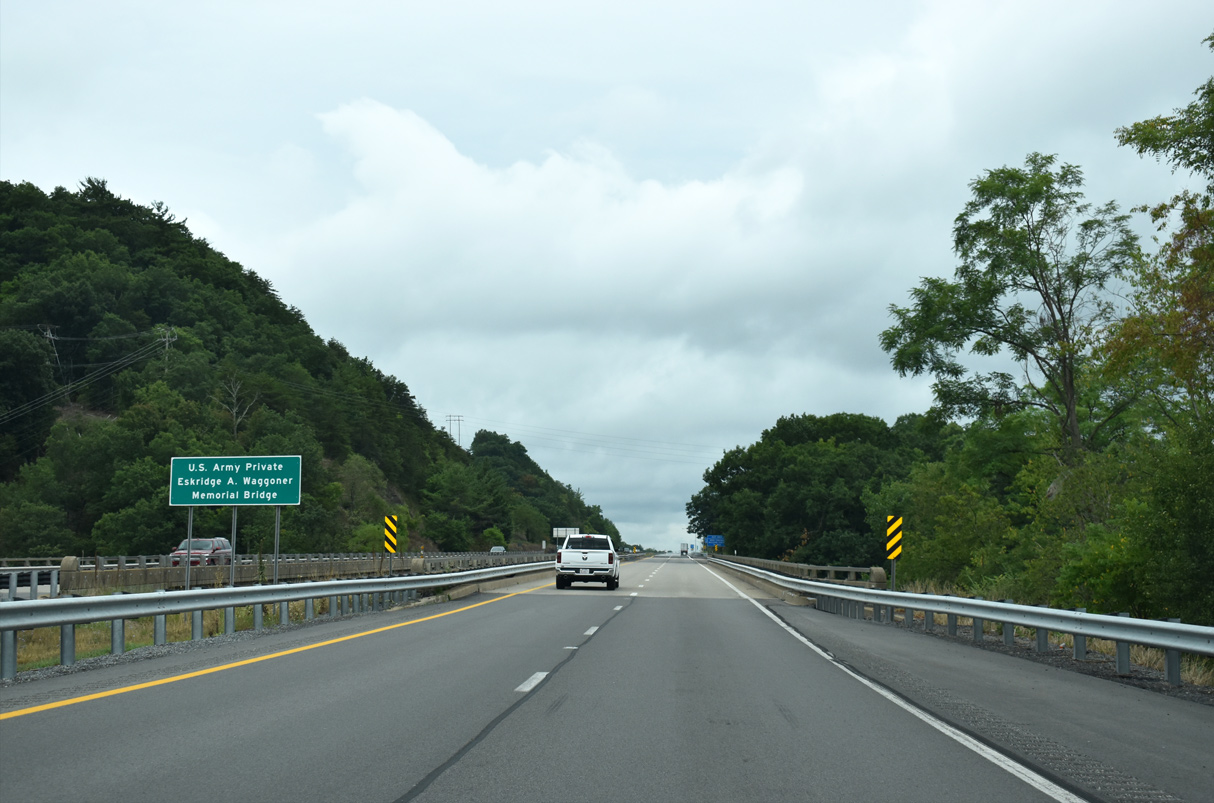
This reassurance marker for Interstate 64 is posted ahead of the Howard Creek crossing.
08/15/21
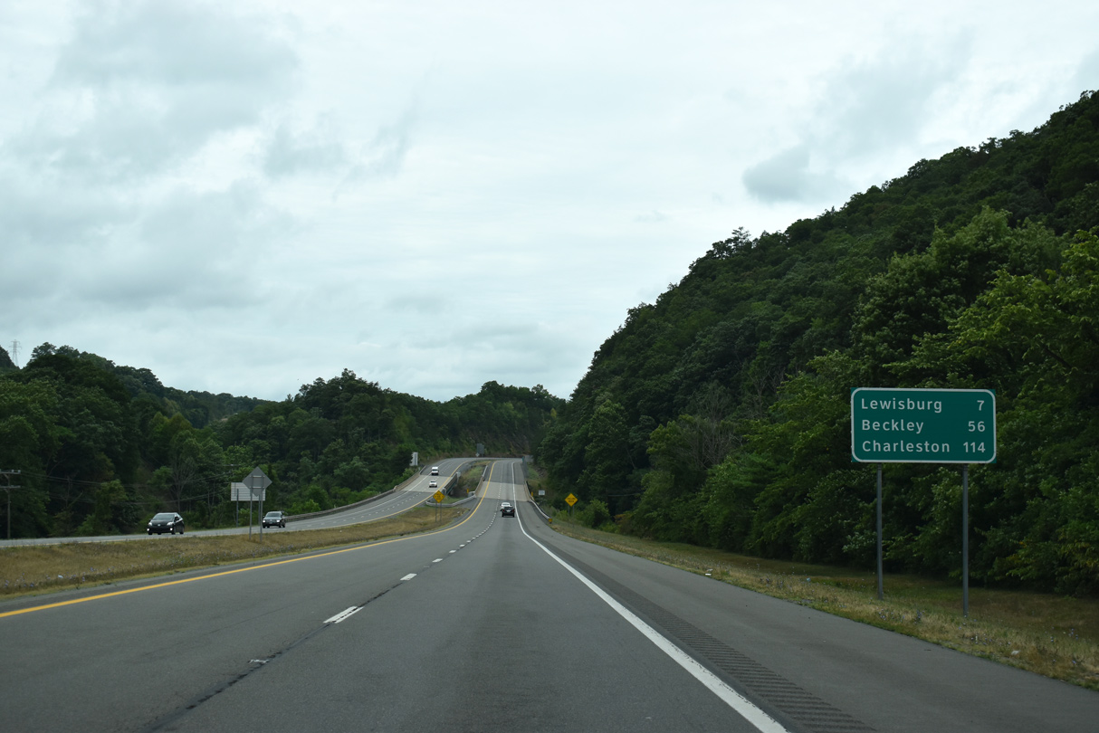
Interstate 64, Howard Creek, a CSX Railroad and U.S. 60 all push westward from White Sulphur Springs to Caldwell. Lewisburg, the Greenbrier County seat, lies seven miles to the west.
08/15/21
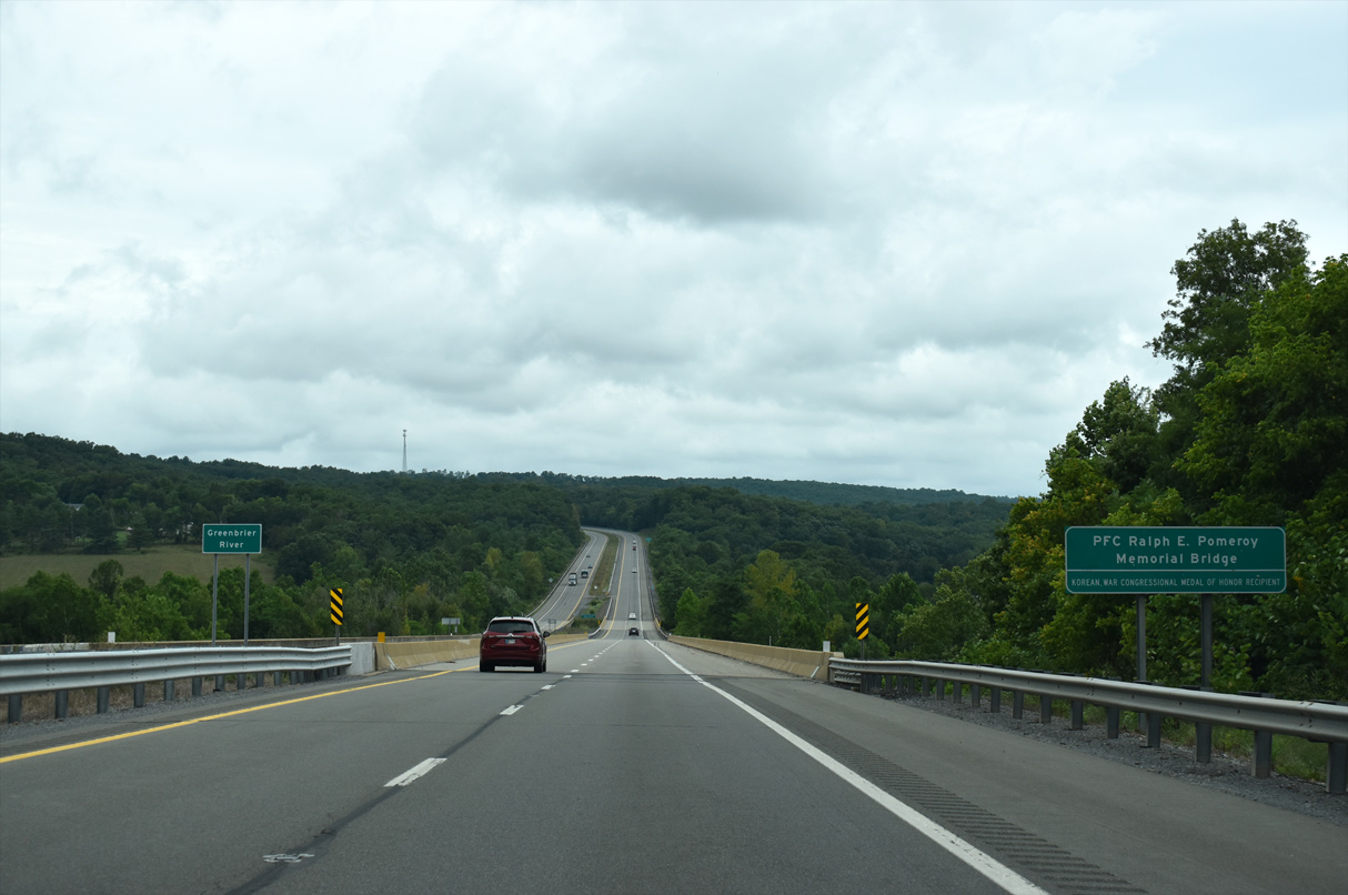
Interstate 64 curves north to span the PFC Ralph E. Pomeroy, Korean War Congressional Medal of Honor Recipient, Memorial Bridge over the Greenbrier River west of Greenbrier Mountain (el. 3,320 ft).
08/15/21
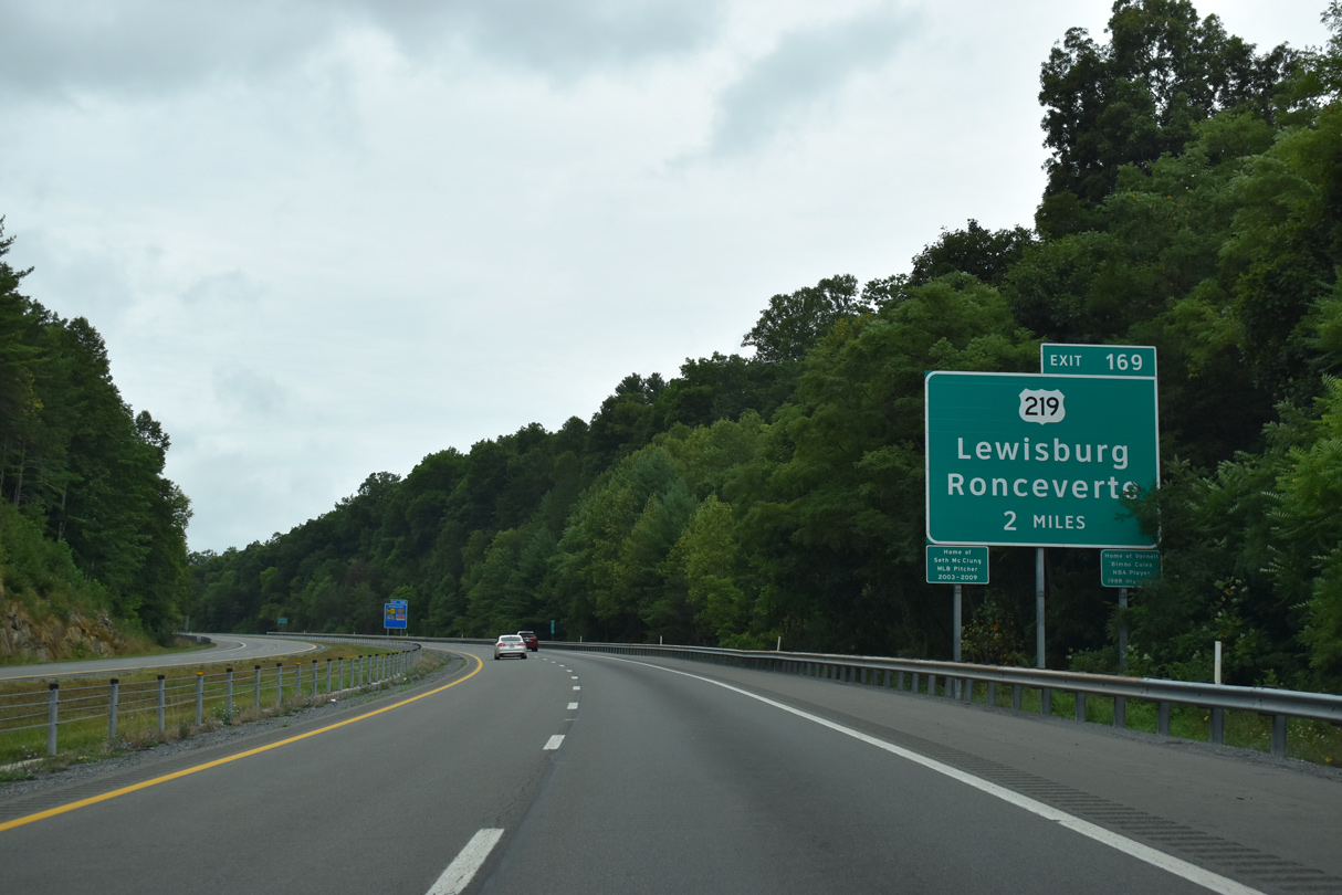
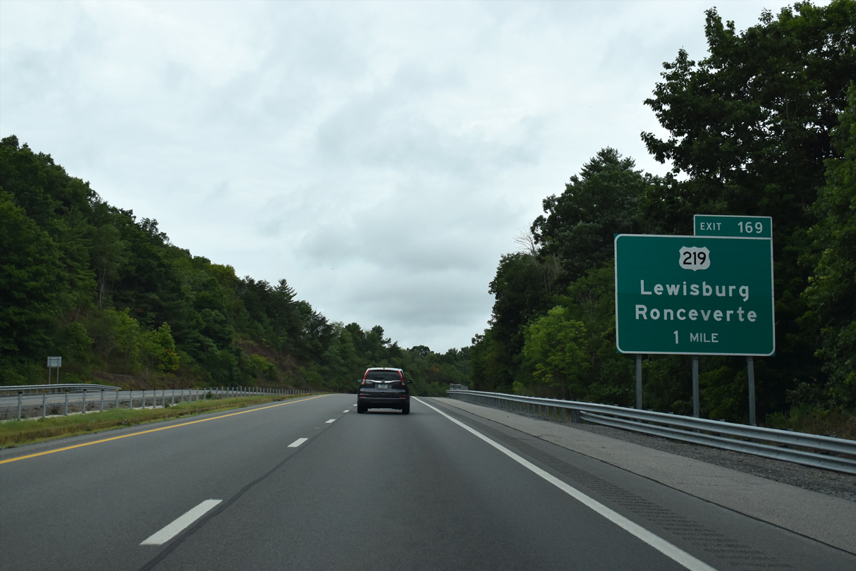
U.S. 219 (Jefferson Street) crosses paths with I-64 at a diamond interchange (Exit 169) north of Lewisburg. The US highway joins the county seat with Ronceverte to the south and Greenbrier Valley Airport (LWB) to the north.
08/15/21
Curving northwest along I-64 west on the one mile approach to U.S. 219 (Exit 169) at Lewisburg.
06/17/05

Points of interest served by U.S. 219 south include the State Fairgrounds, West Virginia School of Osteopathic Medicine, Lewisburg Historic District and the Greenbrier County Visitors Center.
08/15/21
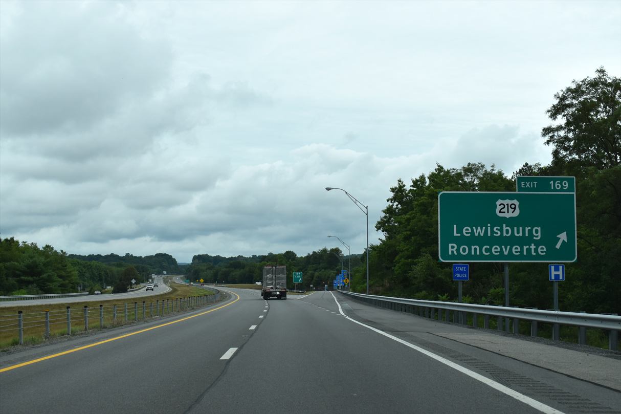
Westbound at the off-ramp (Exit 169) to U.S. 219 (Jefferson Street) on I-64. U.S. 219 travels south three miles to Fairlea and six miles to Ronceverte. The highway ends at Rich Creek (U.S. 460) 48 miles to the south. Northward the route continues toward Marlinton, Elkins and Parsons through stretches of the Monongahela National Forest.
08/15/21
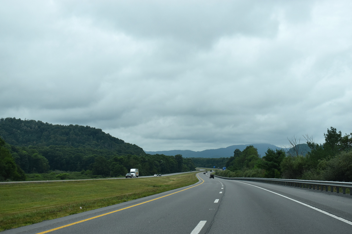
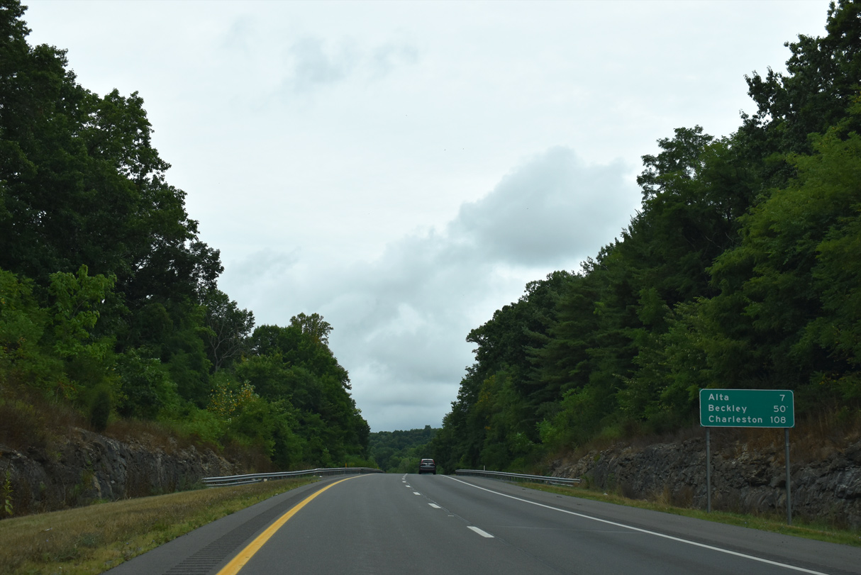
Interstate 64 proceeds westward from U.S. 219 and Lewisburg on a seven mile course to Alta, and 50 miles to Beckley and the West Virginia Turnpike (I-77).
08/15/21
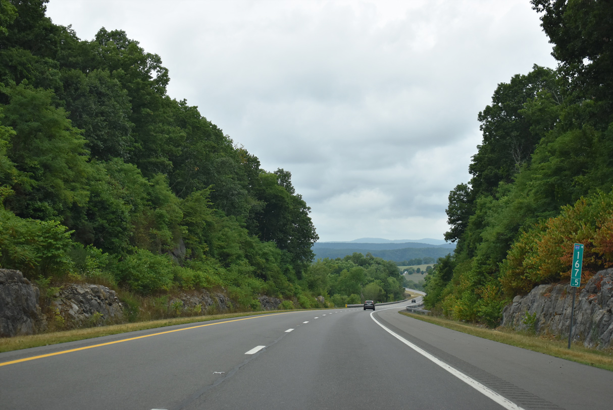
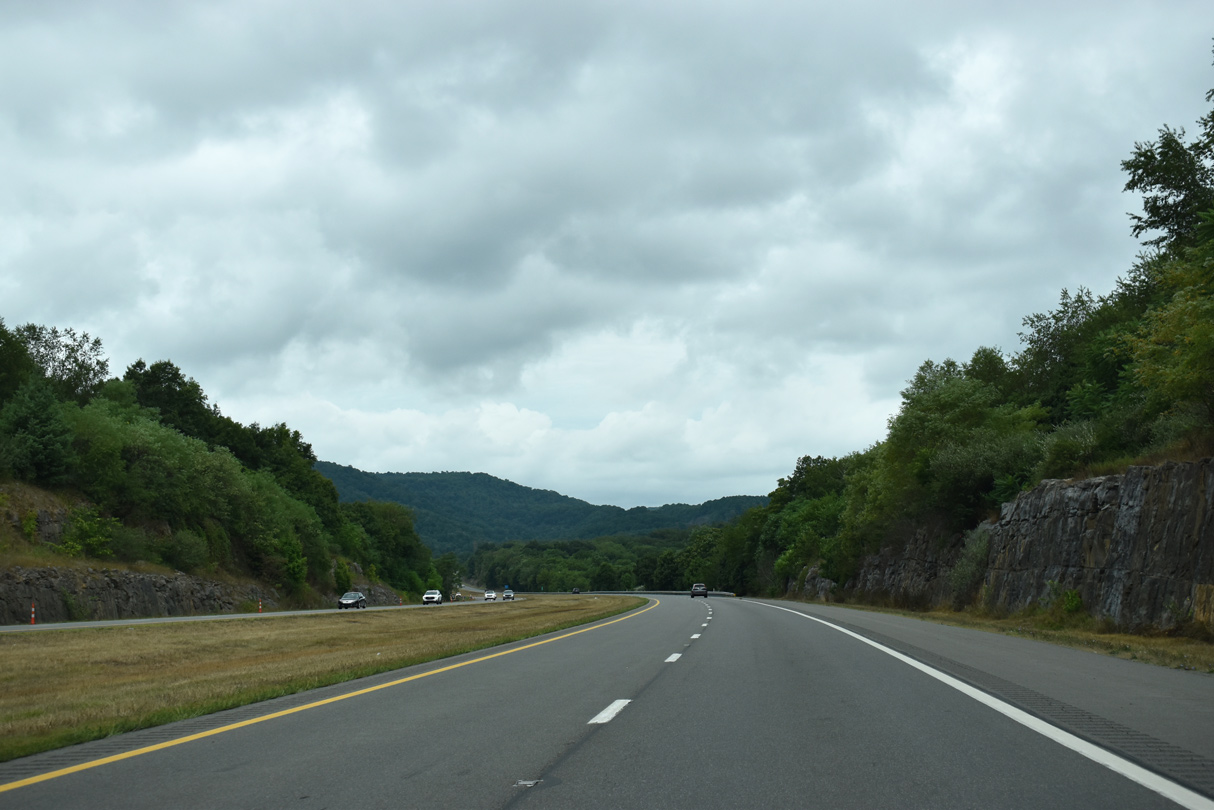
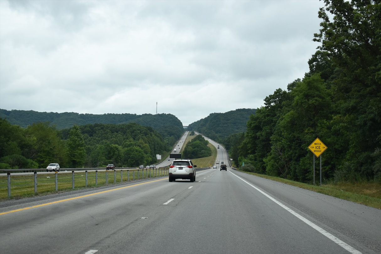
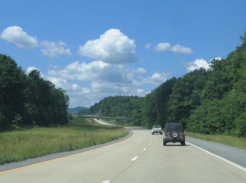
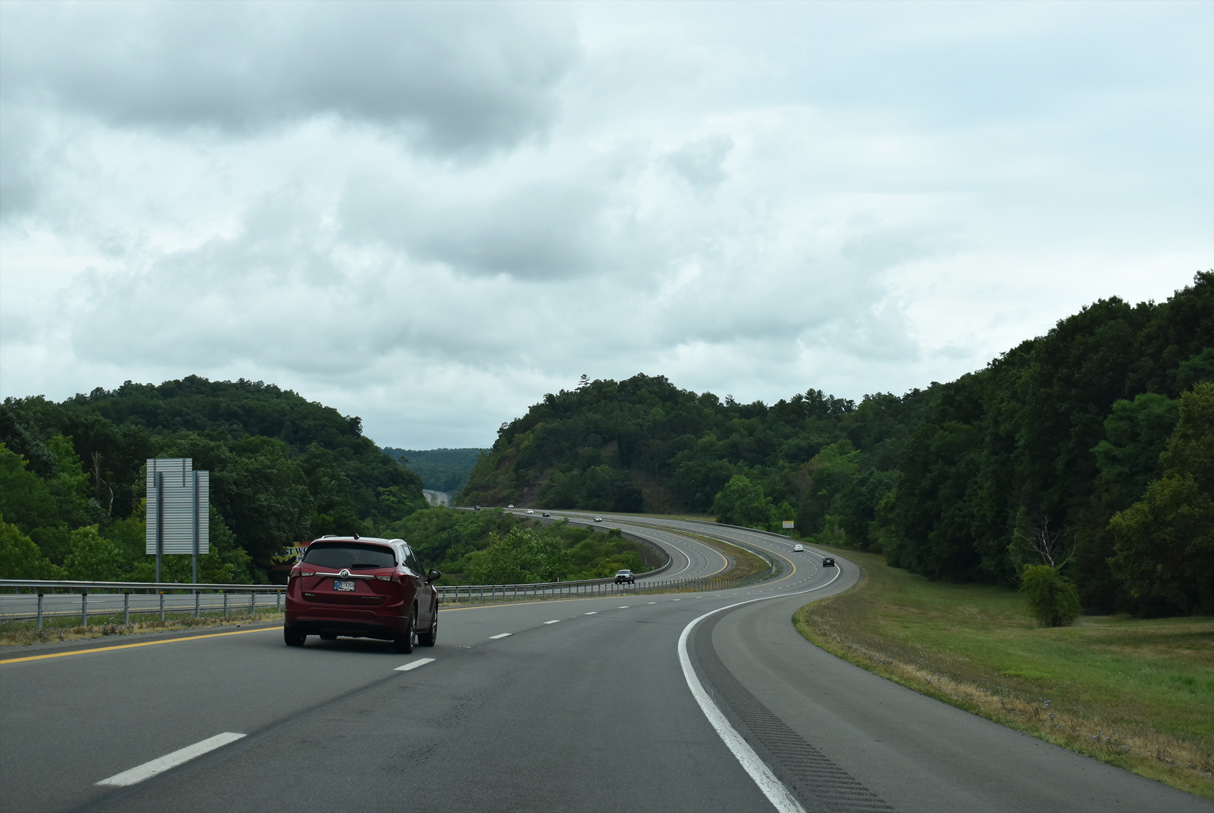
Scenery along Interstate 64 between Lewisburg and Alta. U.S. 60 crosses paths with the freeway midway between Lewisburg and Alta.
08/15/21
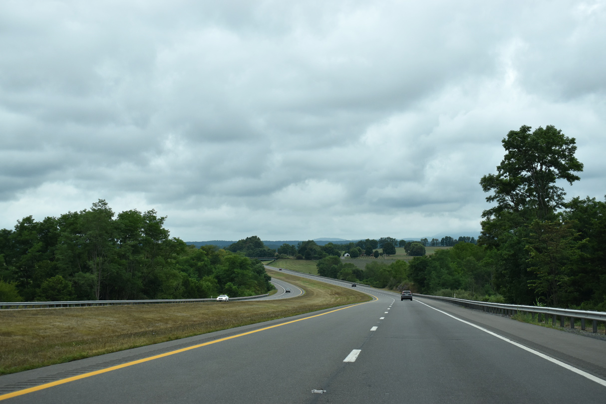
The freeway winds onto Brushy Ridge to the north of Muddy Creek Mountain.
08/15/21
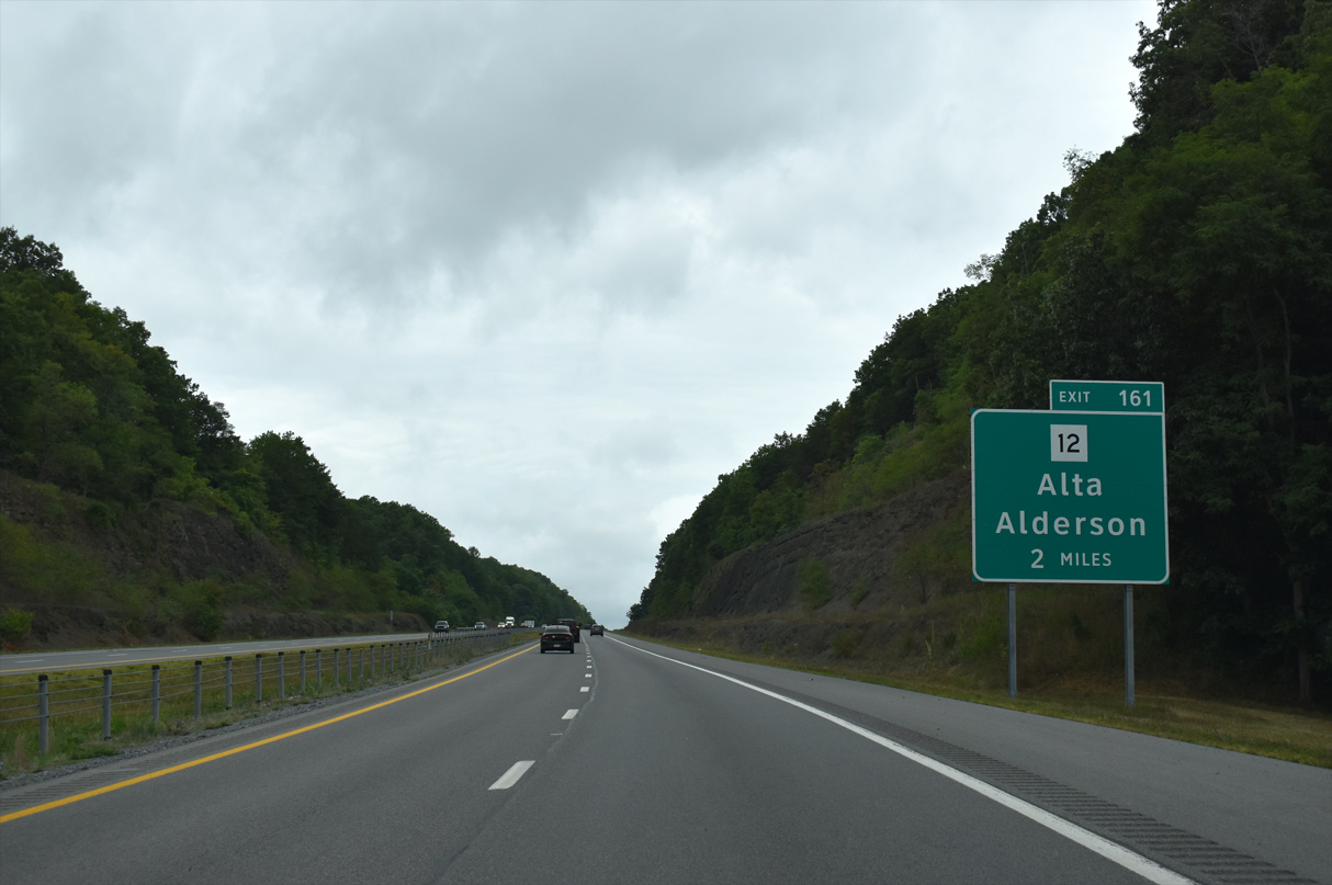
Cresting over Brushy Ridge, two miles ahead of Exit 161 with WV 12 near Alta.
08/15/21
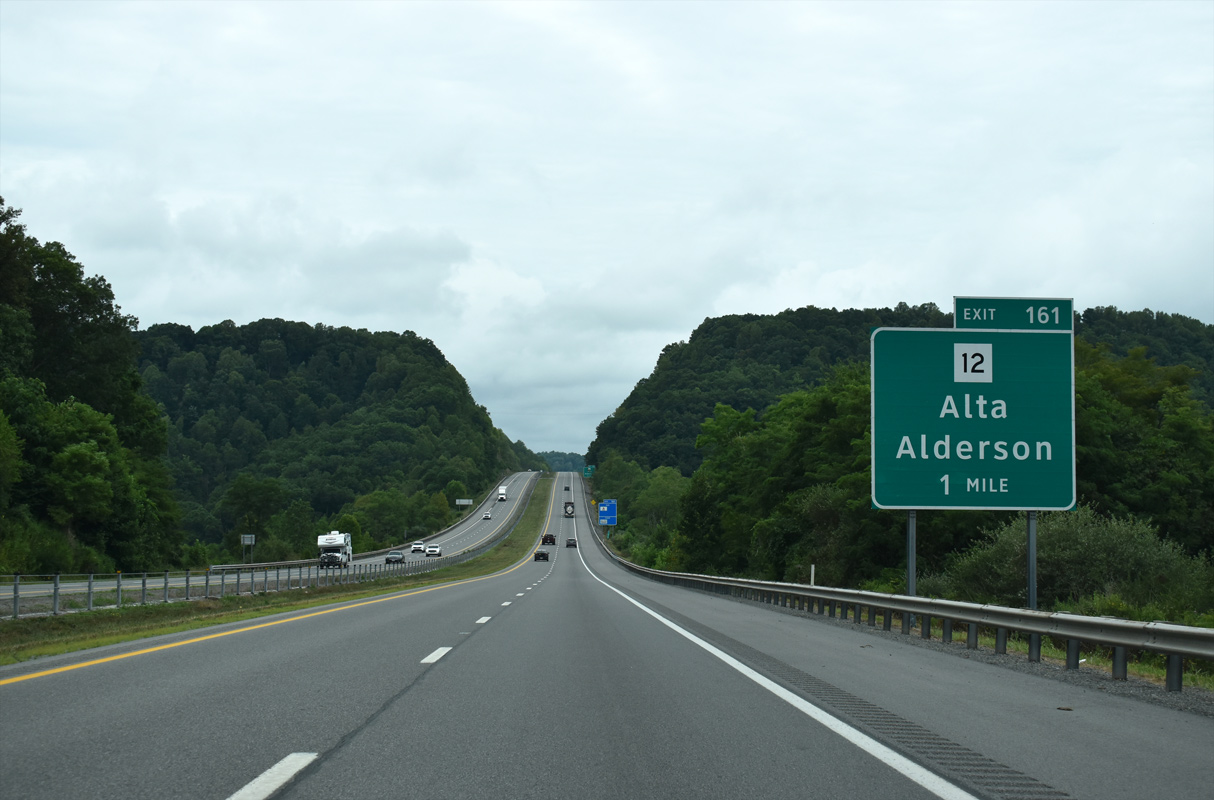
Lowering across Raders Valley, I-64 is now one mile ahead of WV 12. WV 12 heads 11.3 miles south to WV 63 at Alderson from upcoming Exit 161.
08/15/21
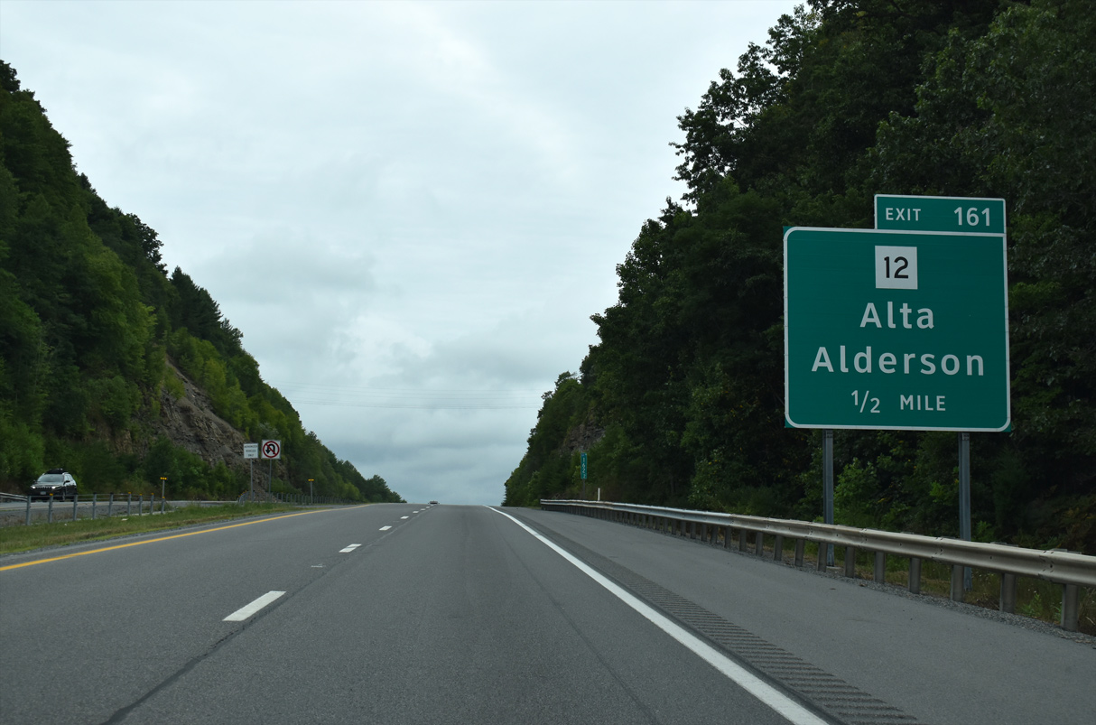
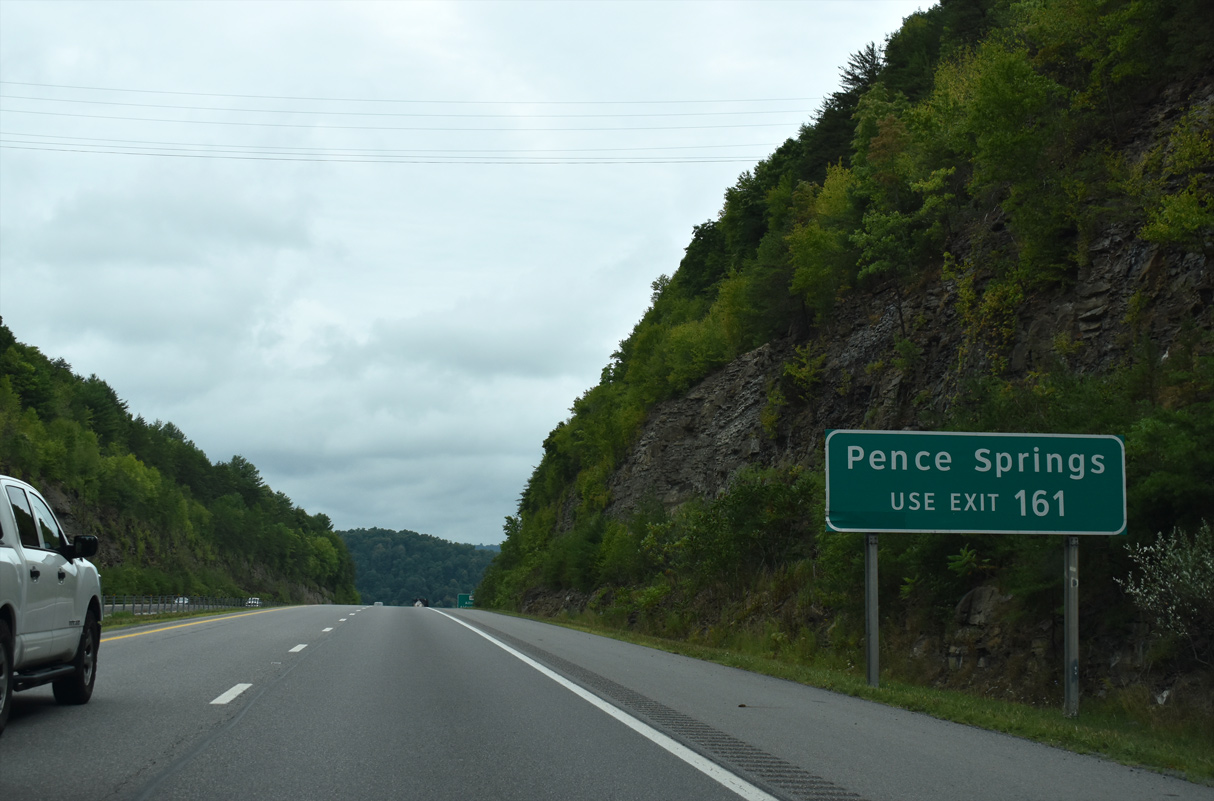
WV 12 ends just north of the diamond interchange (Exit 161) with I-64 at U.S. 60 by the settlement of Alta. The state route travels south to provide connections to WV 3 west along the Greenbrier River to Pence Springs.
08/15/21
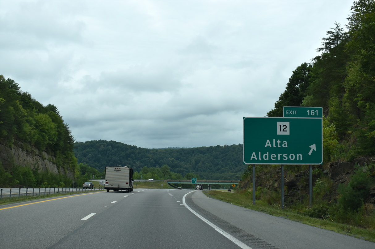
Exit 161 departs Interstate 64 westbound for WV 12. U.S. 60 continues west from Exit 161 six miles to Clintonville.
08/15/21
Westbound distance sign posted at the U.S. 60 over crossing near Clintonville. Interstate 64 reaches Beckley in 41 miles.
06/17/05
A roadway split of Interstate 64 carries the freeway between Sinking Creek Road near Alum Rock Hollow and the high-level Loundermilk Road over crossing at Meadow Mountain (el. 2,710 ft). U.S. 60 (Midland Trail) crosses paths with Interstate 64 for the final time in southeast West Virginia at Exit 156.
08/15/21
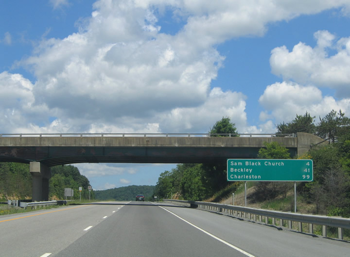
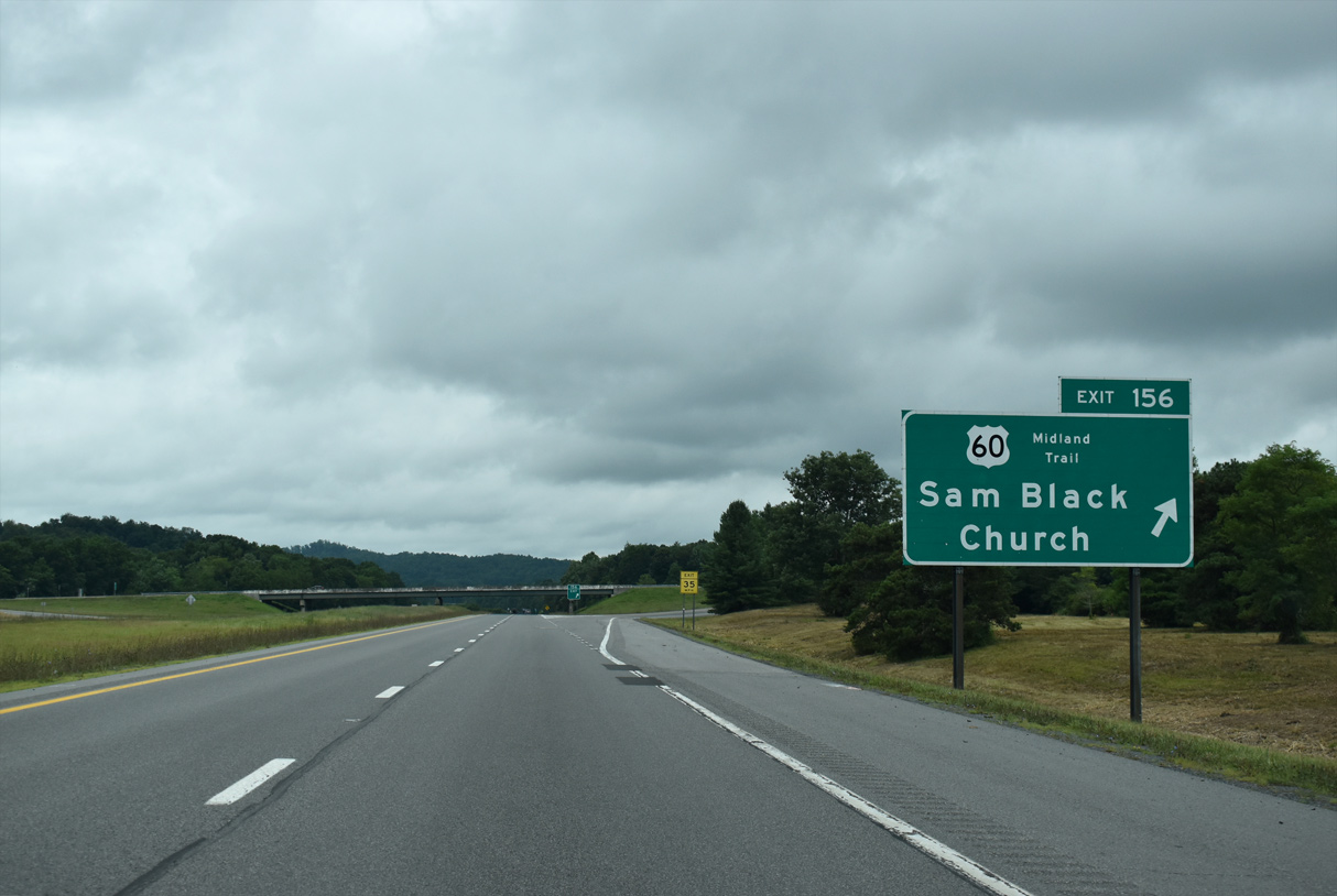
U.S. 60 and I-64 come together ahead at a diamond interchange (Exit 156) just north of historic Sam Black Church.
08/15/21

CR 25 (Smoot Road) stems west from U.S. 60 (Midland Trail) nearby to parallel Interstate 64 to Meadow Bluff and Smoot.
08/15/21
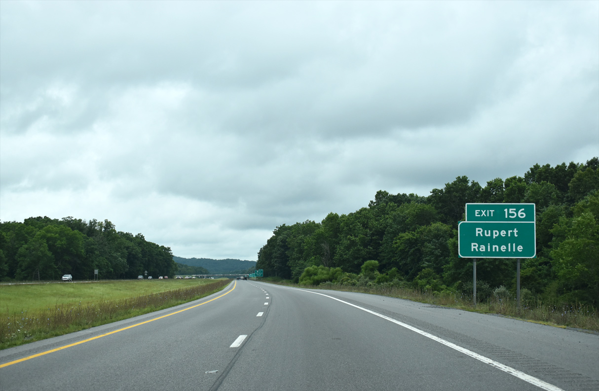
U.S. 60 (Midland Trail) winds northwestward from Exit 156 to the towns of Rupert and Rainelle.
08/15/21
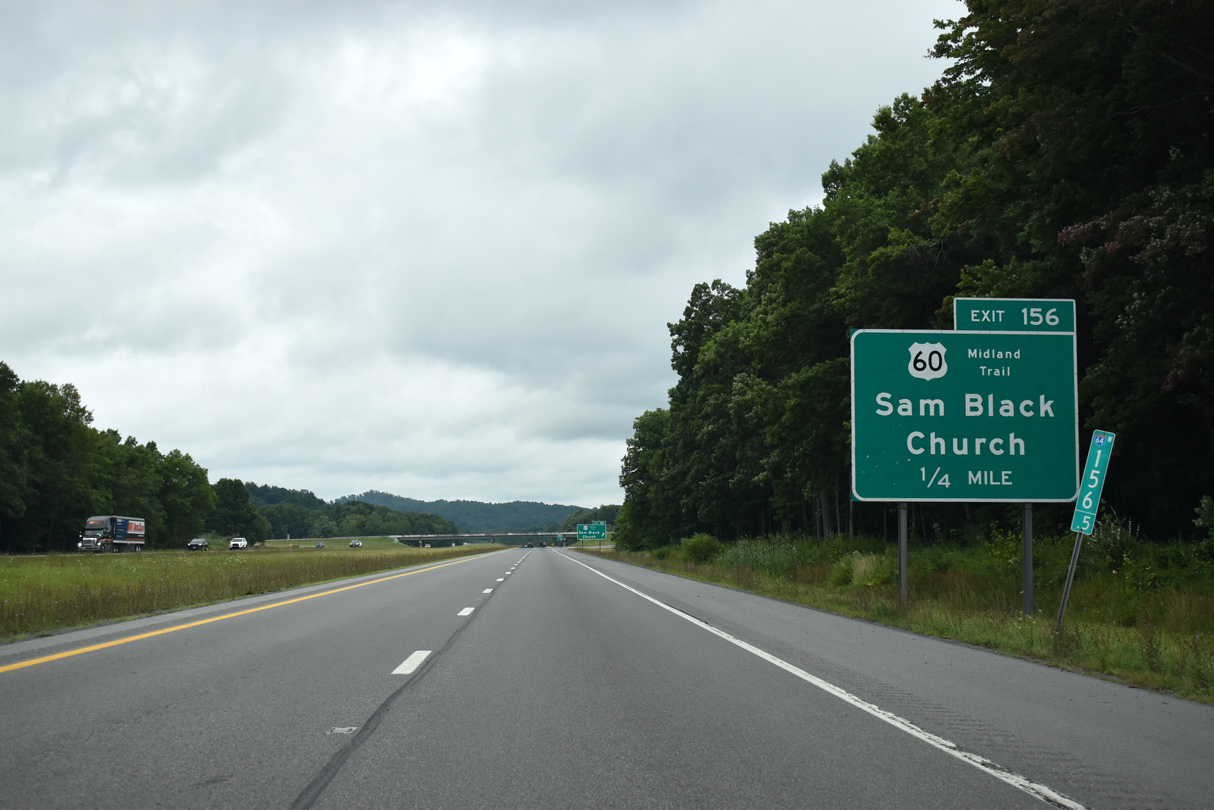
Sam Black Church lies just to the south of the exchange between I-64 and U.S. 60.
08/15/21
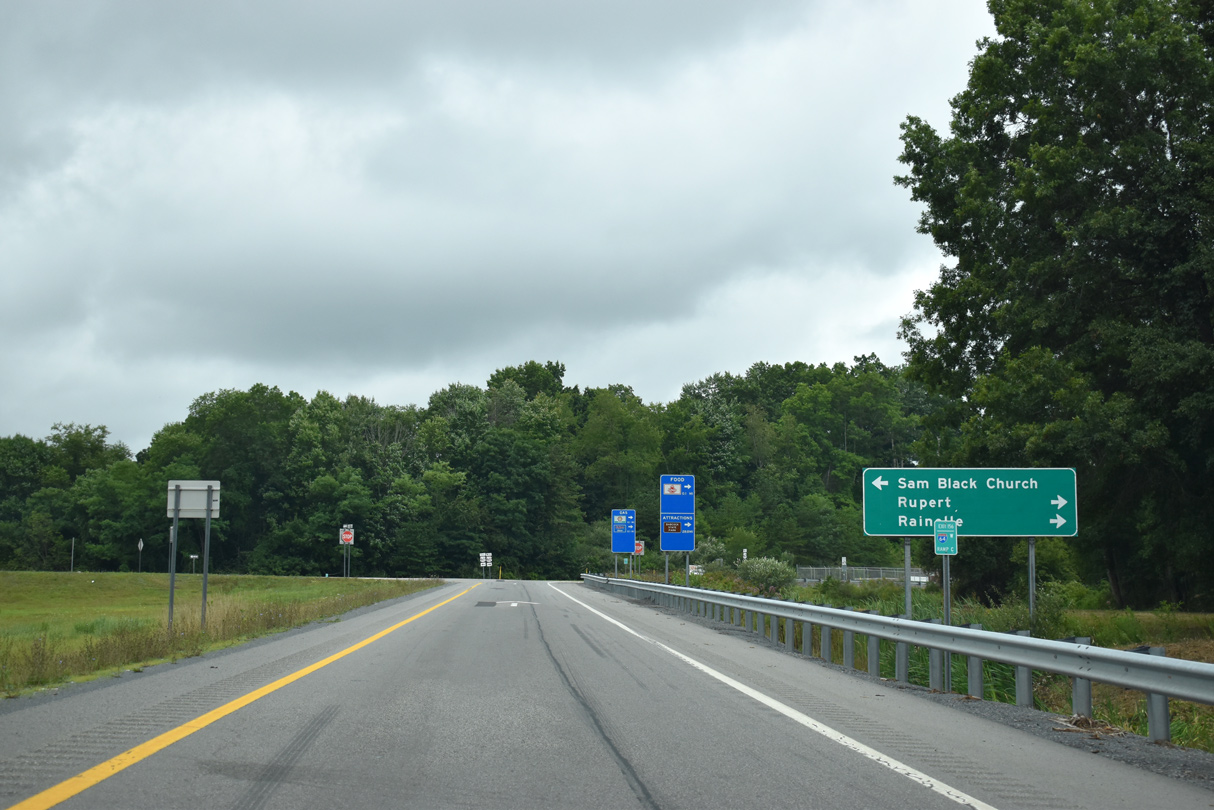
U.S. 60 (Midland Trail) part ways with Interstate 64 westbound at Exit 156 on the 14 mile course northwest to Rainelle and 35 miles to U.S. 19 near Hico.
I-64 and U.S. 60 cross paths again outside of Charleston.
08/15/21
Curving more toward the southwest, Interstate 64 passes under the CR 25 (Smooth Road) overpass ahead of Nichols Knob (el. 2,766 ft).
06/17/05
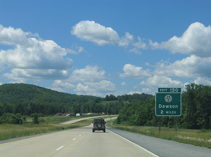
A diamond interchange (Exit 150) lies two miles ahead with County Route 29/4 (Morris Branch Road) at Dawson. This is the final Greenbrier County interchange.
06/17/05

One mile guide sign for Exit 150 (County Route 29/4) posted along Interstate 64 west. CR 29/4 (Morris Branch Road) forms a 3.3 mile loop west from parallel CR 27/3 (Lawn Road) at Exit 150 to the settlement of Lawn.
06/17/05
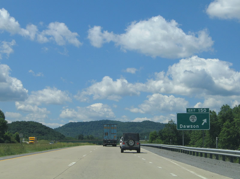
Exit 150 leaves Interstate 64 west for CR 29/4 (Morris Branch Road) to Dawson. The USGS topo map shows the interchange for Dawson proposed at CR 29 (Dawson-Springdale Road) just to the north.CR 29 travels 6.3 miles northwest from there to WV 20 at Springdale.
06/17/05
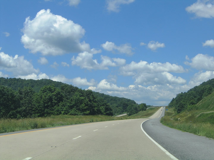
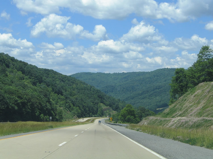
The stretch of Interstate 64 running west to Beckley was completed in 1988. The next few miles leading west from Lawn to Elton traverse hilly terrain north of Red Spring Mountain (el. 3,835 ft) and Fisher Mountain (el. 3,176 ft).
06/17/05
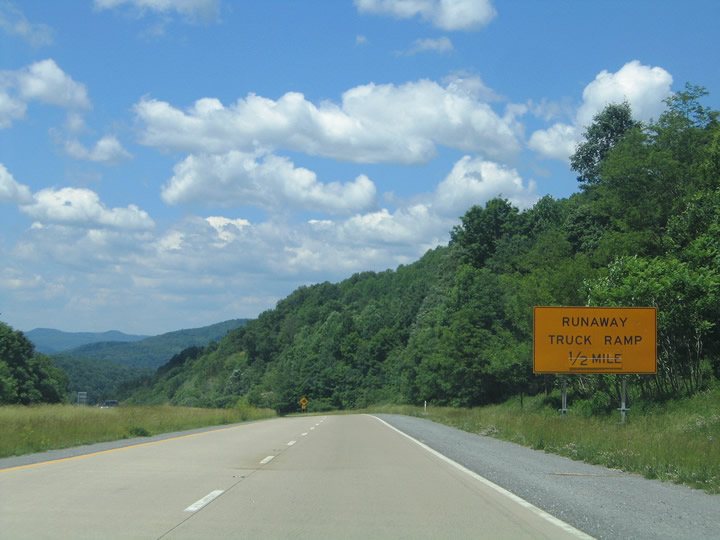
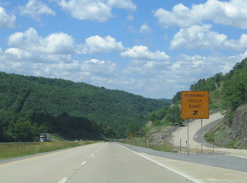
Across the Summers County line, drivers along I-64 west next approach a runaway truck ramp on the descent toward Elton.
06/17/05
Beyond the runaway truck ramp, Interstate 64 drops to cross paths with CR 5 (Elton Lawn Road) alongside Fisher Creek.
06/17/05
WV 20 heads south from Springdale 3.5 miles to Meadow Bridge, 7.7 miles to Elton, and 9.5 miles to County Route 4 adjacent to Exit 143. The state route parallels the westbound side of I-64 from Elton to WV 7 by Exit 139.
06/17/05
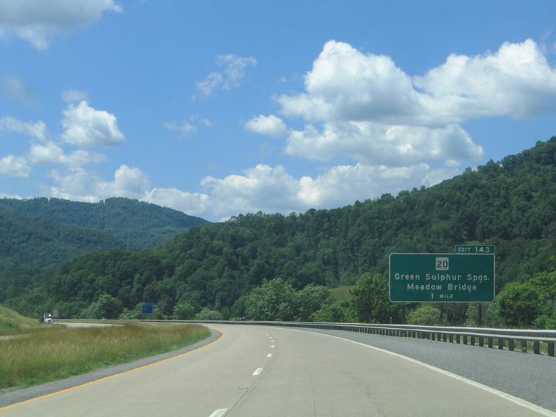
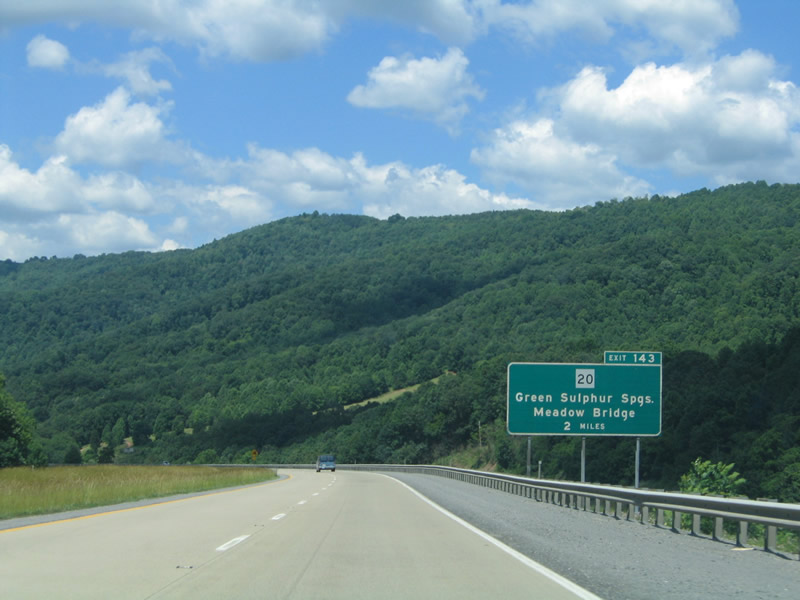
One mile east of the diamond interchange (Exit 143) with CR 4 (Lick Creek Road) at Green Sulphur Springs on I-64 west.
06/17/05
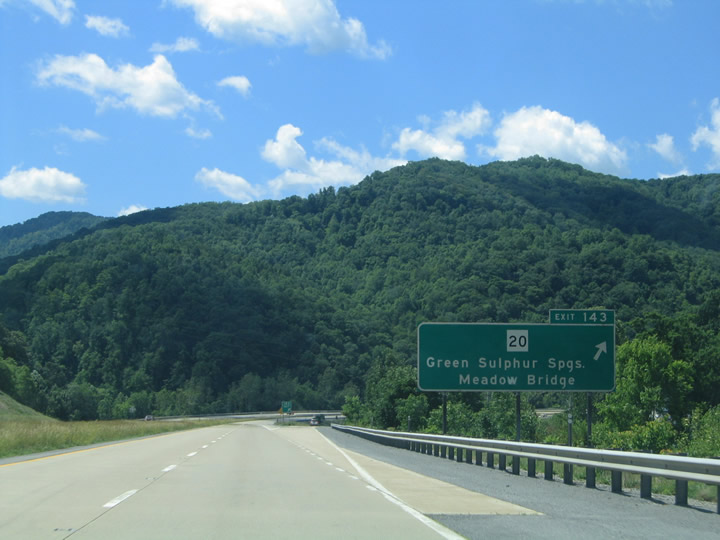
Exit 143 leaves Interstate 64 westbound for Lick Creek Road to WV 20 at Green Sulphur Springs. CR 4 parallels Lick Creek southeast into a valley north of Big Swell and KeeneyMountains.
06/17/05
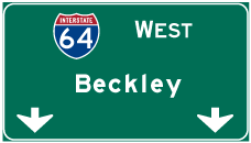

Photo Credits:
- Alex Nitzman: 06/17/05, 08/15/21
Page Updated Tuesday September 07, 2021.