
West Virginia Road & Highway Photo Guides
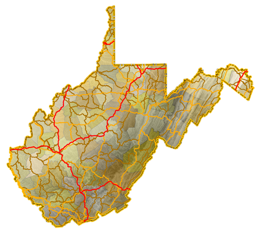
Sitemap to road and highway photo guides for West Virginia.
Interstates
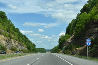
 Interstate 64
316 photos
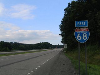
 Interstate 68
110 photos
 Interstate 70
60 photos
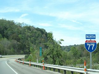
 Interstate 77
254 photos
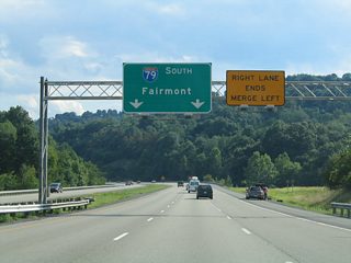
 Interstate 79
39 photos
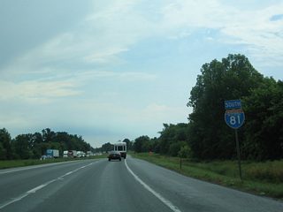
 Interstate 81
82 photos
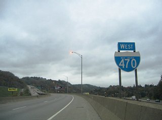
 Interstate 470
33 photos
U.S. Highways
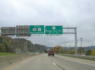
 U.S. 250 / Route 2
23 photos

 U.S. 340
59 photos
 U.S. 460
6 photos
 U.S. 522
11 photos
State Routes
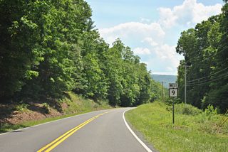
 Route 9
46 photos
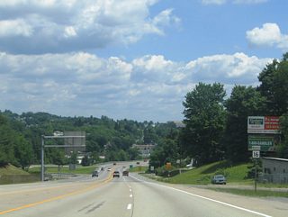
 Route 16
8 photos
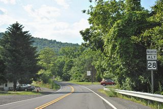
 Route 28 / Route 28 Alternate
22 photos
 Route 43 - Mon-Fayette Expressway
28 photos
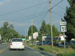
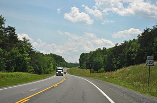
 Route 51
10 photos
Photo Coverage of Roads and Highways in West Virginia
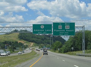
AARoads documents highways and roads across West Virginia with route-by-route photo guides organized by direction of travel. Coverage includes Interstate Highways, U.S. Routes and West Virginia State Routes.
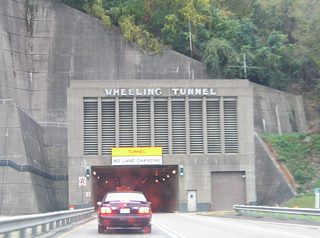
Photo guides focus on highway signage, interchanges, route markers, city limit signs, county lines, and notable points of interest along each route. Routes are documented through mountainous terrain with emphasis on grade, curve, and pass signage.
New and updated photos for West Virginia routes are added periodically and cataloged on the updates page.
Photographic Contributors
Photography by Alex Nitzman, Andy Field and Brent Ivy.
About West Virginia
- Capital:
 Charleston
 - Nickname: The Mountaineer State
- Total Interstate Mileage: 549.05
- Highest Point: Spruce Knob 4,863 feet
Last updated: Friday December 31, 2021