
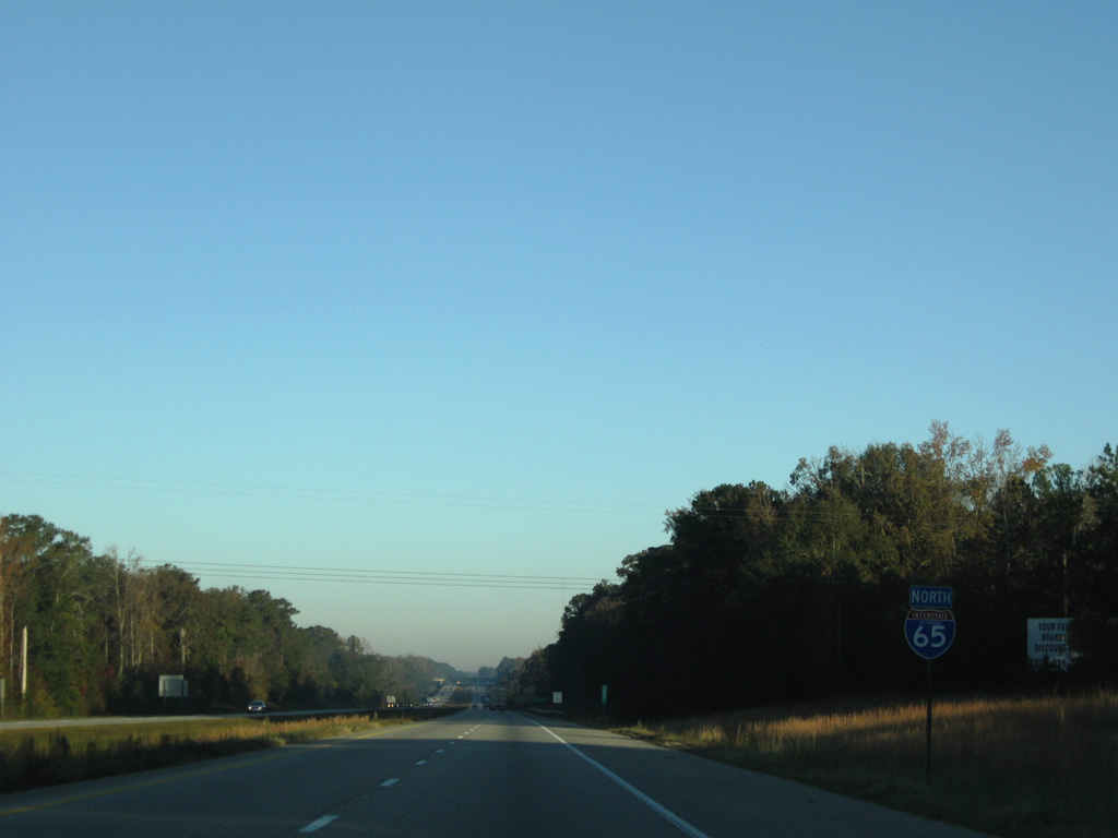
Interstate 65 North - Autauga / Chilton Counties
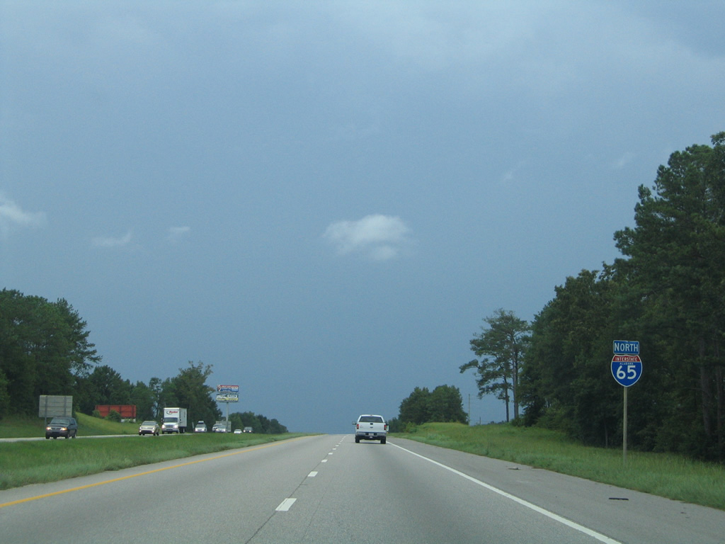
 North
North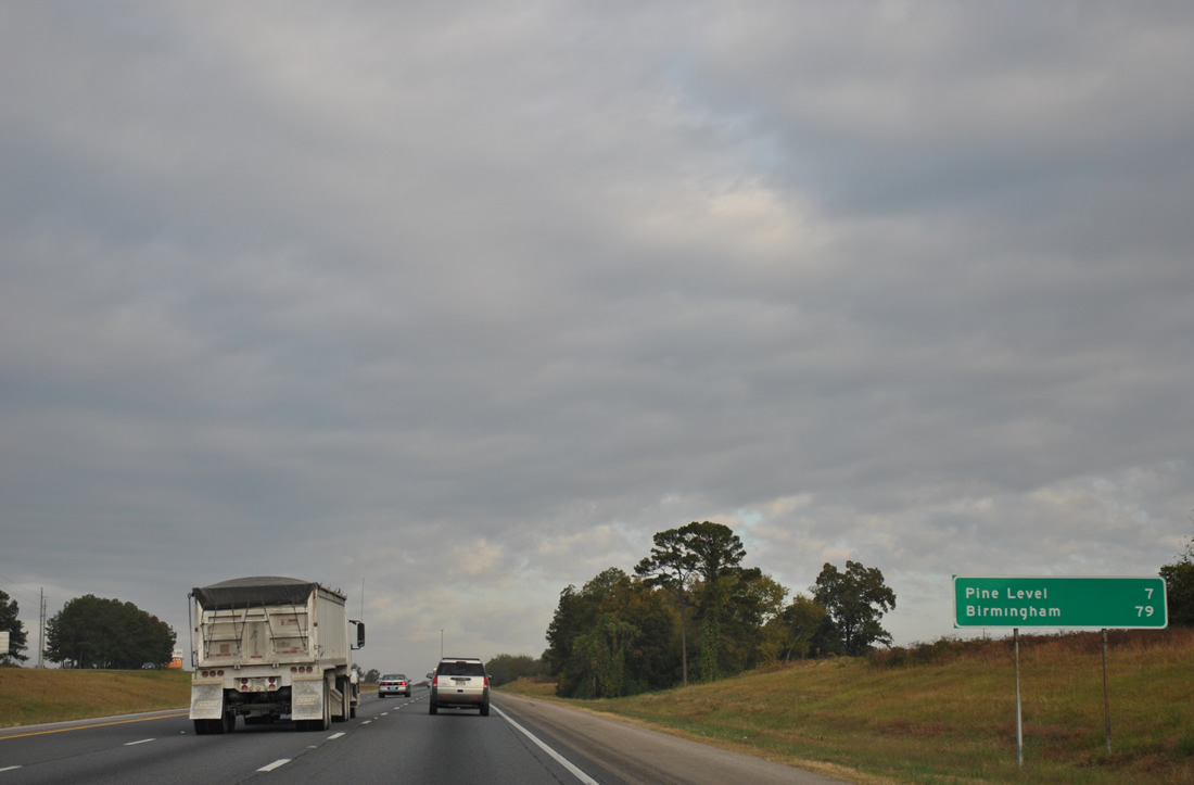
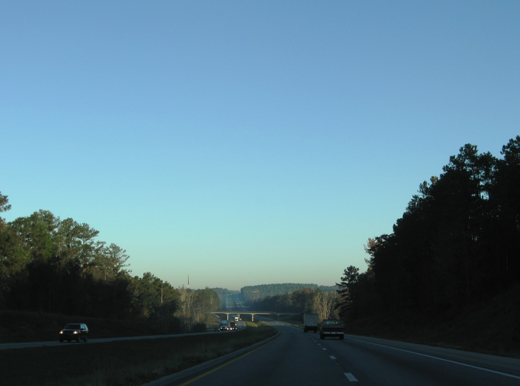
Interstate 65 leaves the last of the Prattville area suburbs and enters a forested stretch of Autauga County leading seven miles to Pine Level. Birmingham is a 79 mile drive from Exit 181.
11/03/11
07/15/05
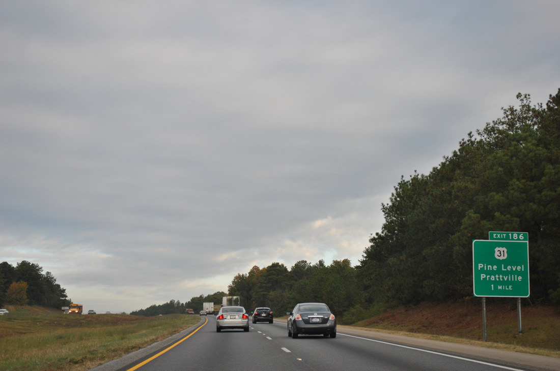
U.S. 31 crosses Interstate 65 for the second time at Exit 186, eight miles north of Prattville and three miles the south of Pine Level.
11/03/11
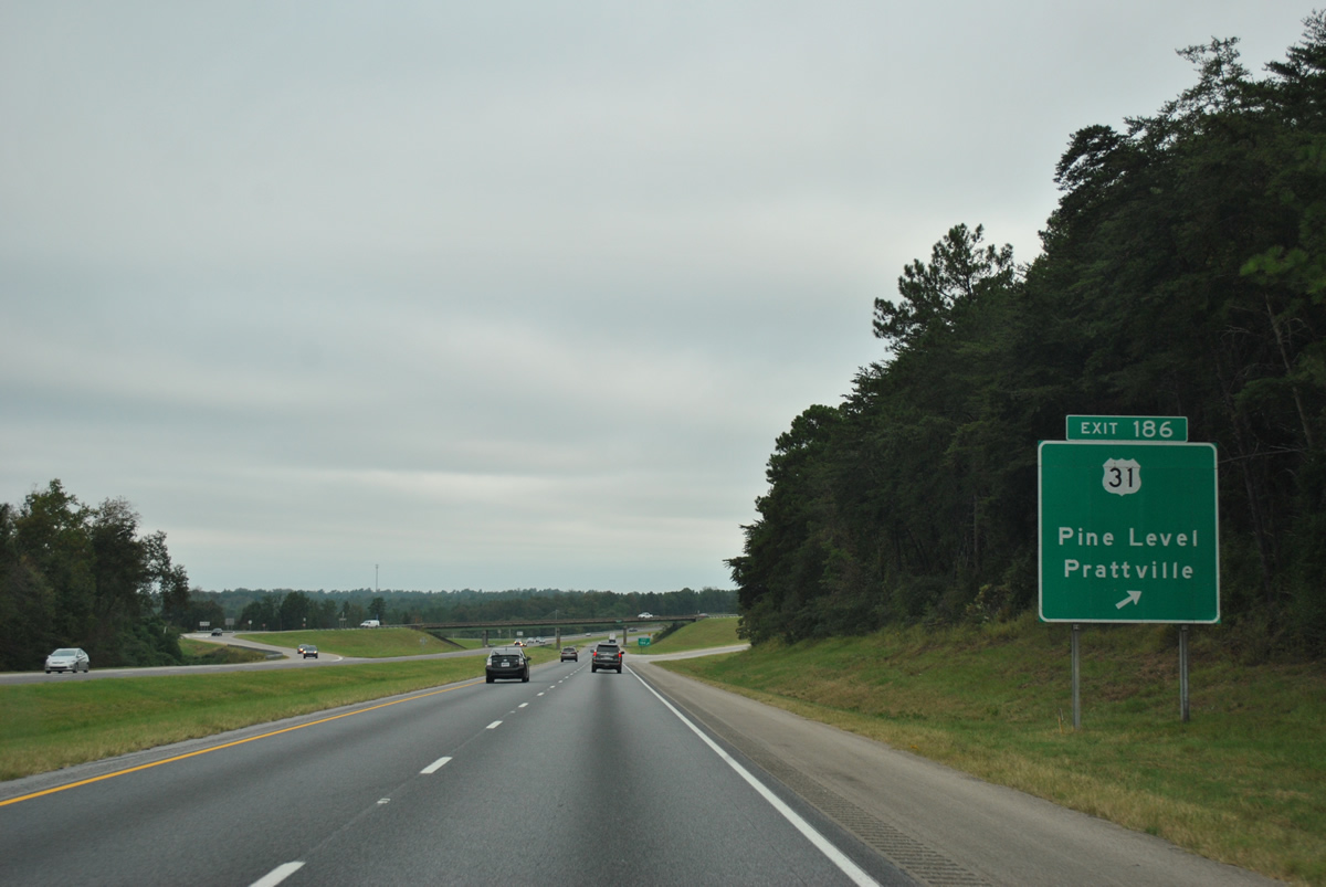
A diamond interchange joins Interstate 65 and U.S. 31 at Exit 186. U.S. 31 continues along the east side of I-65 three miles to Pine Level and 13 miles to Mountain Creek. Interests to Confederate Memorial Park at Marbury are directed onto the route north.
10/07/12
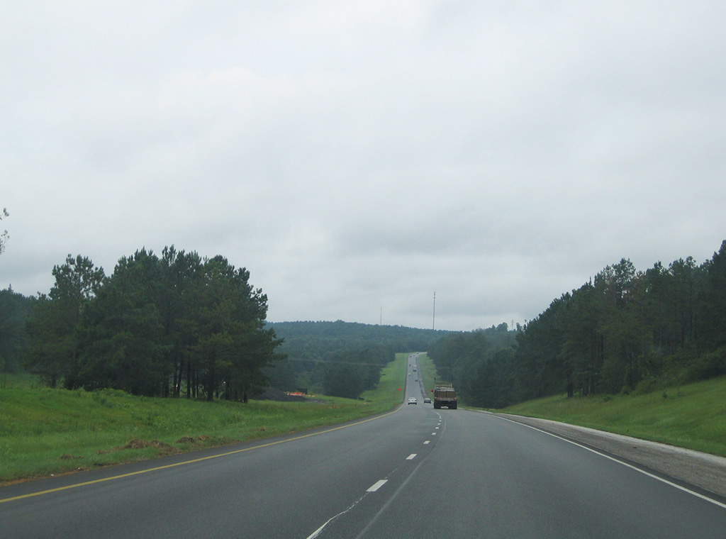
Fourteen miles of pine forest and slow rolling hills await northbound motorists before Interstate 65 reaches the next exit in Chilton County.
11/04/09
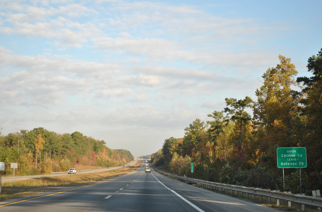
Crossing into Chilton County along Interstate 65 northbound.
11/03/11
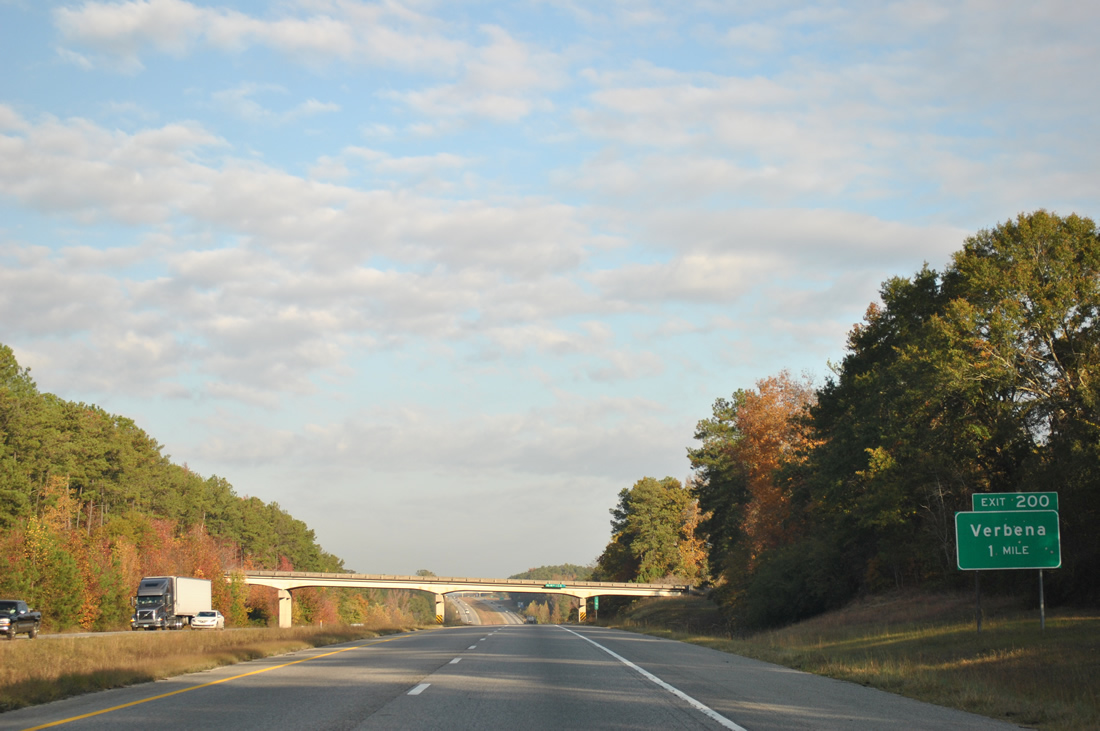
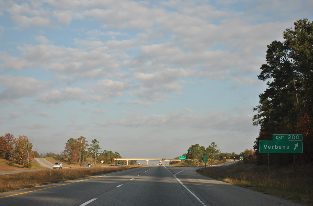
The first of five Chilton County interchanges, Exit 200 serves the community of Verbena via County Route 59 east from Interstate 65.
11/03/11
Interstate 65 lowers to cross Sandy Creek 0.75 miles ahead of Exit 202 to Chilton County Route 59.
11/04/09
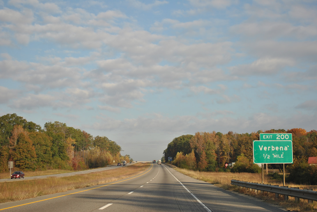
Verbena and U.S. 31 are located two miles to the east of the diamond interchange at Exit 200. County Route 59 and U.S. 31 in conjunction with nearby SR 22 serves Rockford, the county seat of Coosa County.
11/03/11
CR 59 meanders west from Exit 200 to Chilton County Route 49 south of Clanton through large stretches of forest and agricultural land.
11/03/11
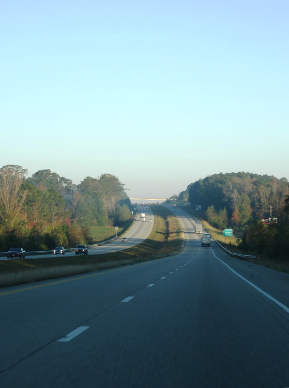
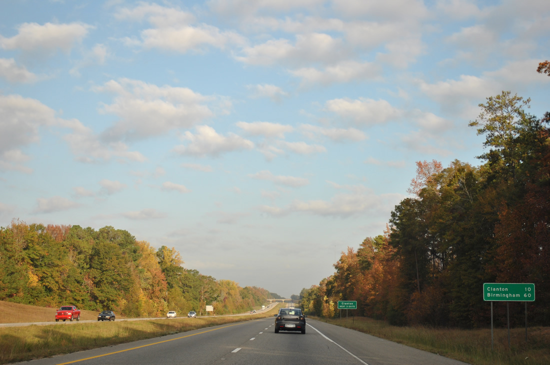
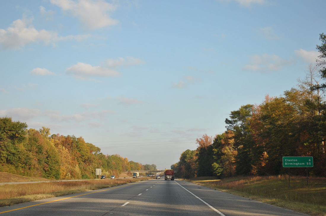
Interstate 65 continues ten miles to the Chilton County seat of Clanton next. Birmingham is less than an hour away.
11/04/09
11/03/11
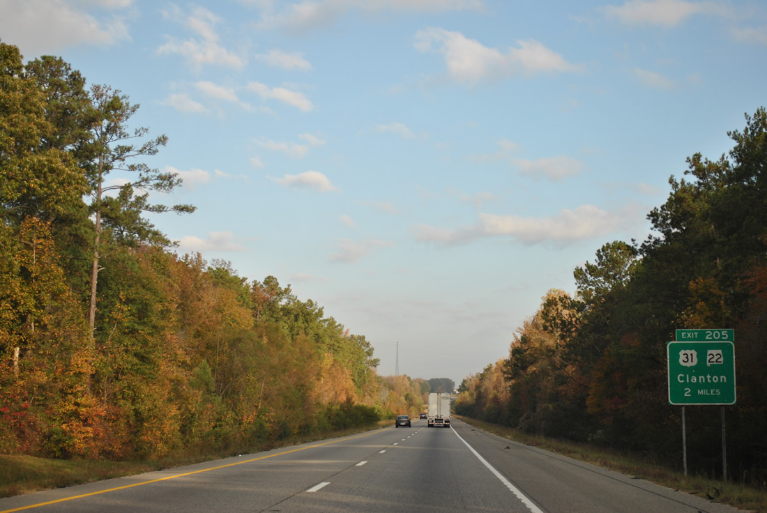
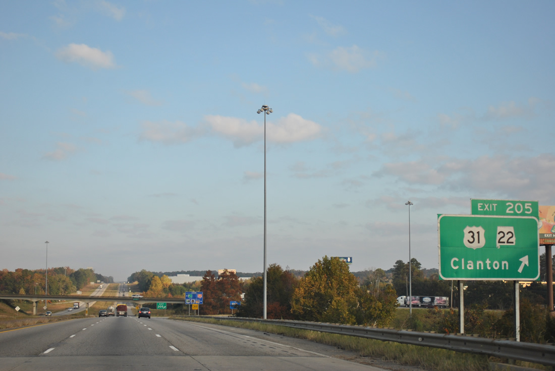
SR 22 combines with U.S. 31 from Cooper northwest to meet Interstate 65 at Exit 205.
11/03/11

U.S. 31/SR 22 (7th Street S) comprise a four lane highway west four miles into Clanton from the diamond interchange at Exit 205.
11/03/11
U.S. 31 shifts back to the west of Interstate 65 from Exits 205 to 231. SR 22 leaves Clanton for a 17 mile drive west to U.S. 82 near Maplesville on its southerly course to Selma.
11/03/11
Interstate 65 stays east of Clanton and approaches the second of three area interchanges.
07/15/05
11/03/11
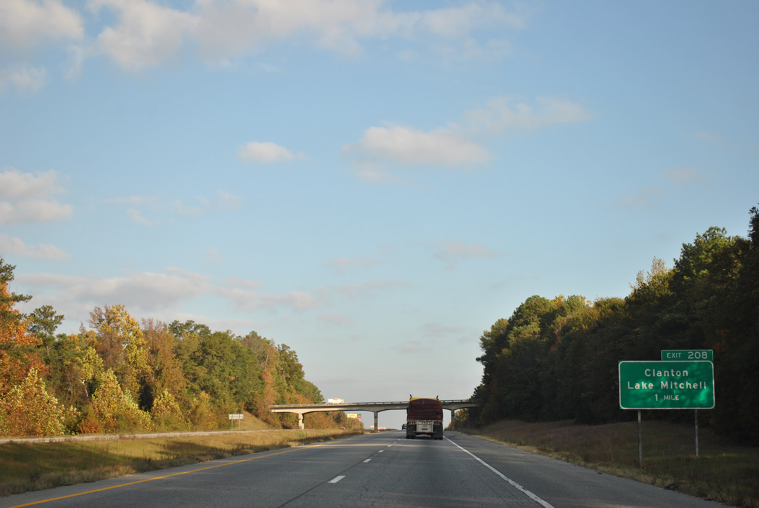
I-65 advances one mile north from the CR 85 overpass to a parclo B2 interchange (Exit 208) with Chilton County Rpute 28 (Lake Mitchell Road).
11/03/11
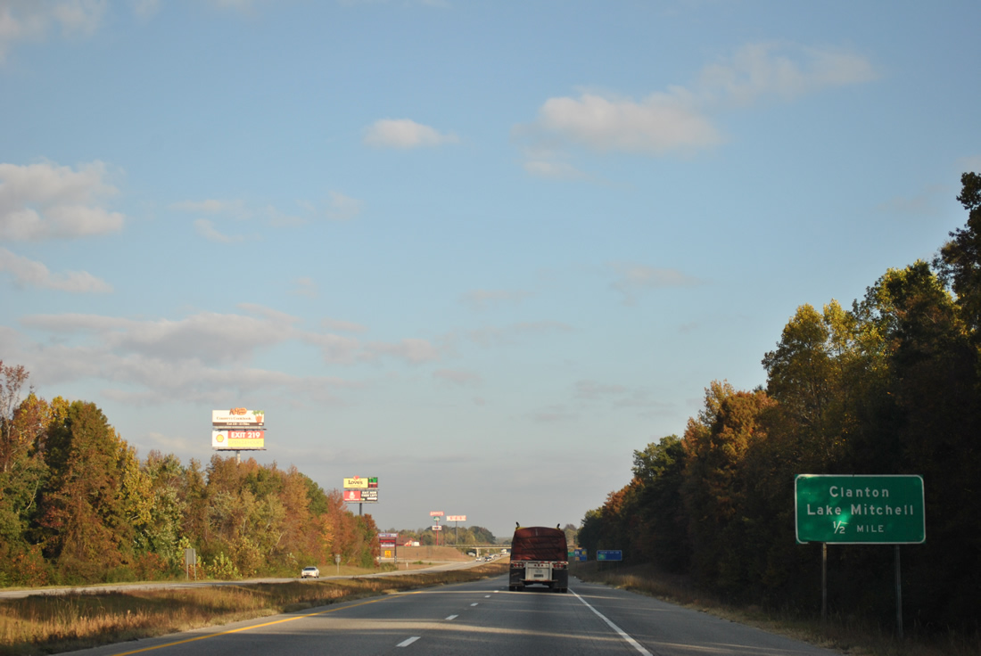
Chilton County Route 28 spurs east from Exit 208 to Lake Mitchell. Mitchell Dam lies just north of the bridge taking SR 22 over the Coosa River.
11/03/11
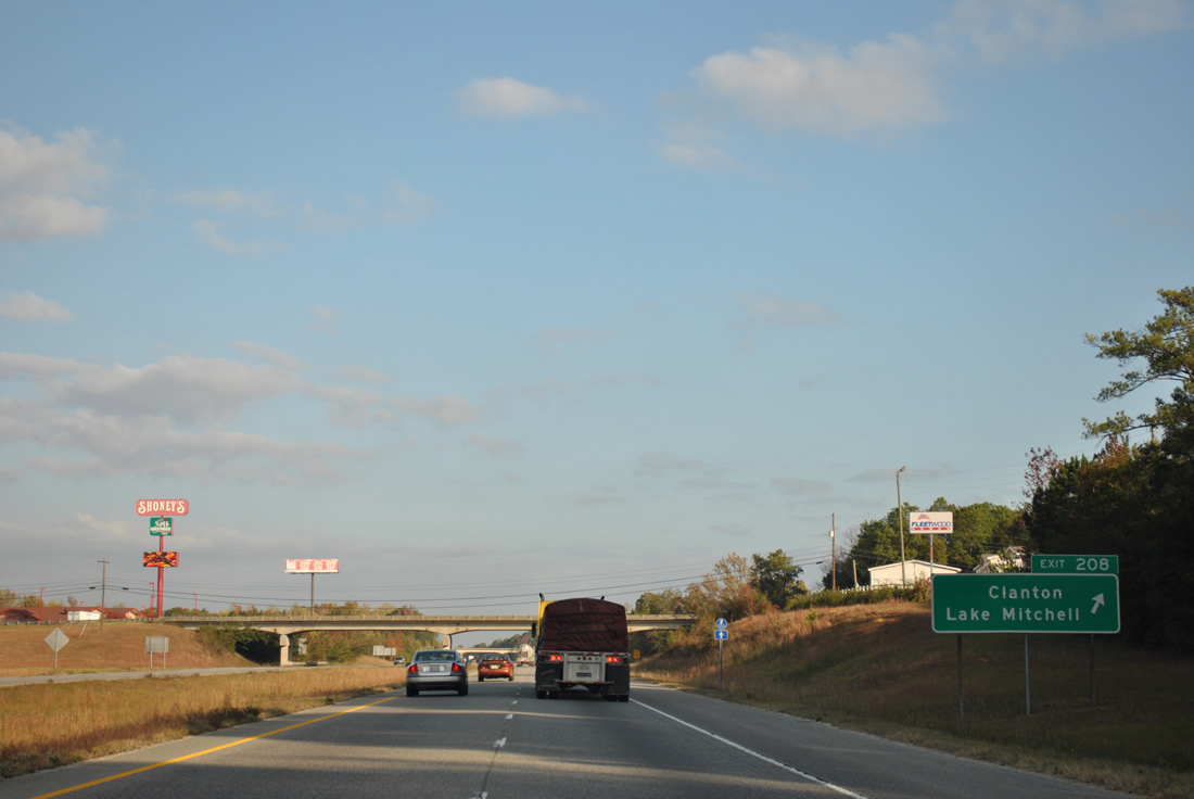
CR 28 (Lake Mitchell Road) connects Interstate 65 with 2nd Avenue to 6th Street in central Clanton.
11/03/11
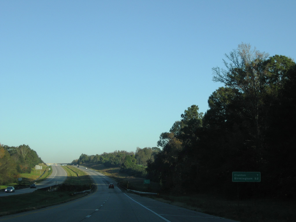
Clanton is referenced for a third time in a row on northbound distance signs for the return route via SR 145 south from Exit 212. Interstate 65 spans Walnut Creek in this scene.
11/04/09
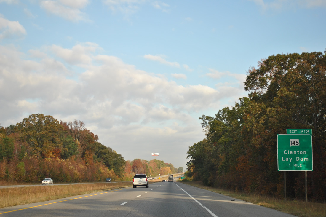
SR 145 begins in Clanton at the intersection of U.S. 31 (7th Street N) and SR 22 (4th Avenue N) and winds eastward to Lay Dam Road north. Lay Dam Road carries the route to a diamond interchange (Exit 212) with Interstate 65.
11/03/11
SR 149 continues north from Exit 212 to Shelby County Route 61 south of Wilsonville. Lay Dam forms Lay Lake to the east of Clanton and CR 55 provides access to the facility from SR 149 at Gap of the Mountain.
07/15/05
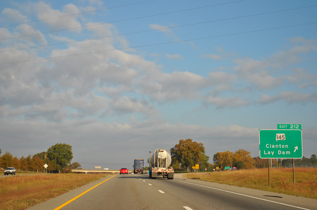
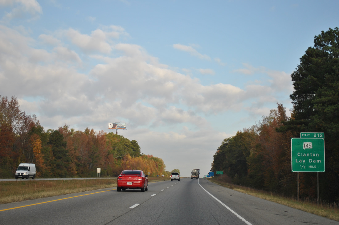
A diamond interchange concludes the four lane section of Lay Dam Road from Clanton northward. SR 149 angles northeast of Exit 212 and Chandler Mountain on the 26 mile drive to Wilsonville.
11/03/11

A pair of rest areas lie along Interstate 65 beyond Exit 212.
10/07/12
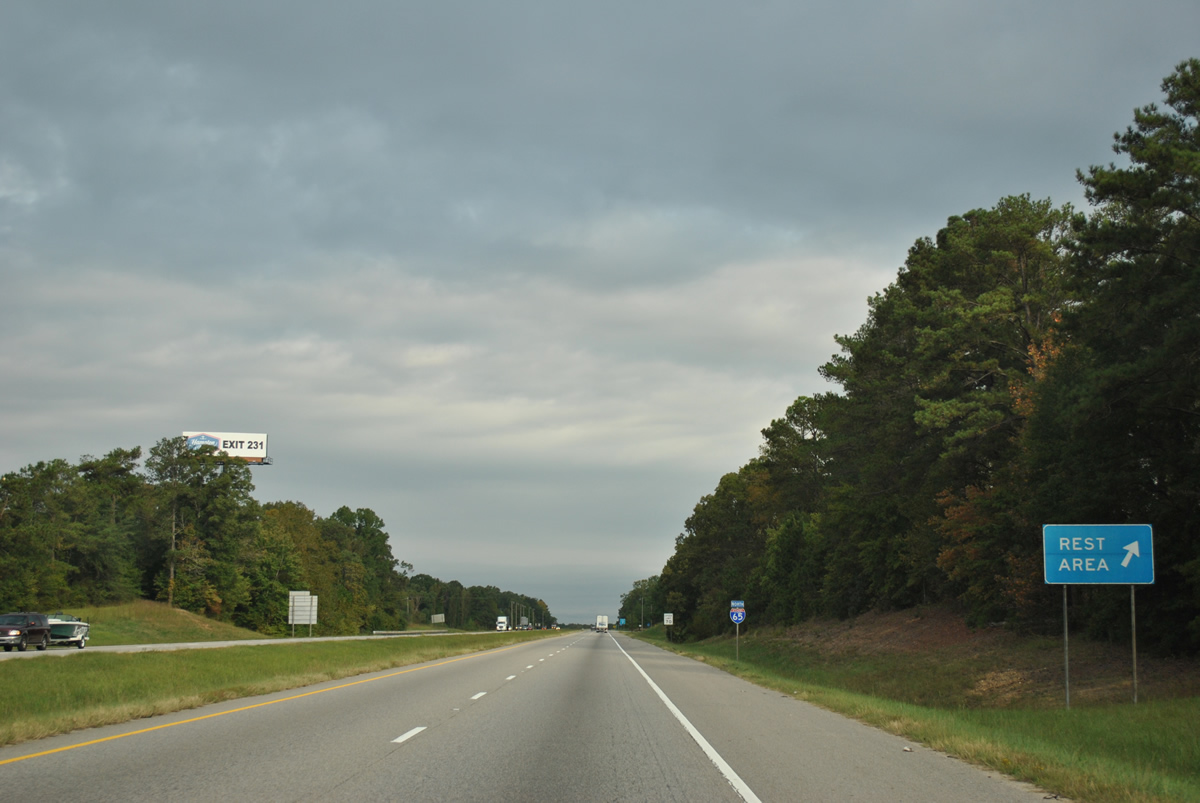
This is the last rest area facility on Interstate 65 north until beyond the Birmingham metropolitan area.
10/07/12
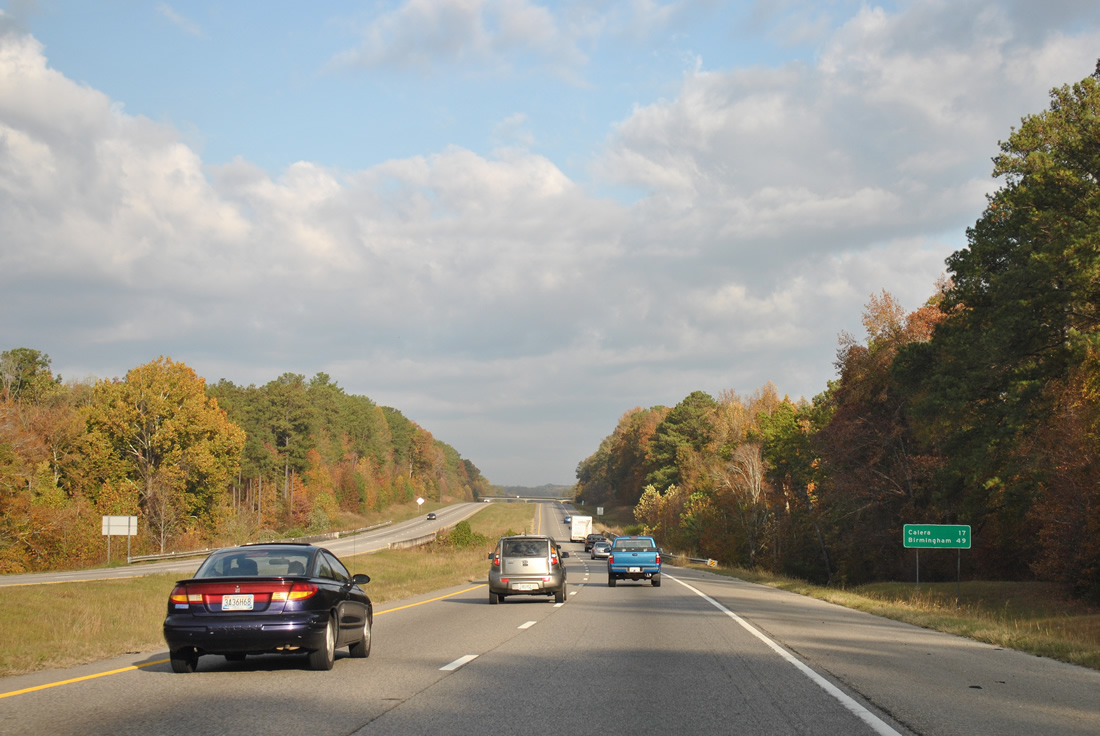
Distance sign posted after the rest areas and before Yellow Leaf Creek along Interstate 65 northbound. Calera and the southern extent of the Birmingham suburbs lie 17 miles ahead.
11/03/11
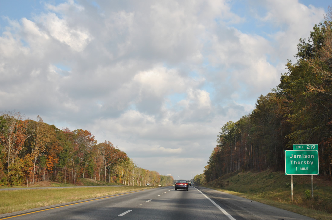
Chilton County Route converges with Interstate 65 at a diamond interchange (Exit 219) in one mile.
11/03/11
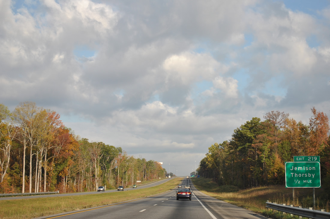
Chilton County Route 42 leads westward 3.9 miles from Exit 219 to U.S. 31 at the town of Jemison. U.S. 31 enters Jemison four miles north of Thorsby.
11/03/11
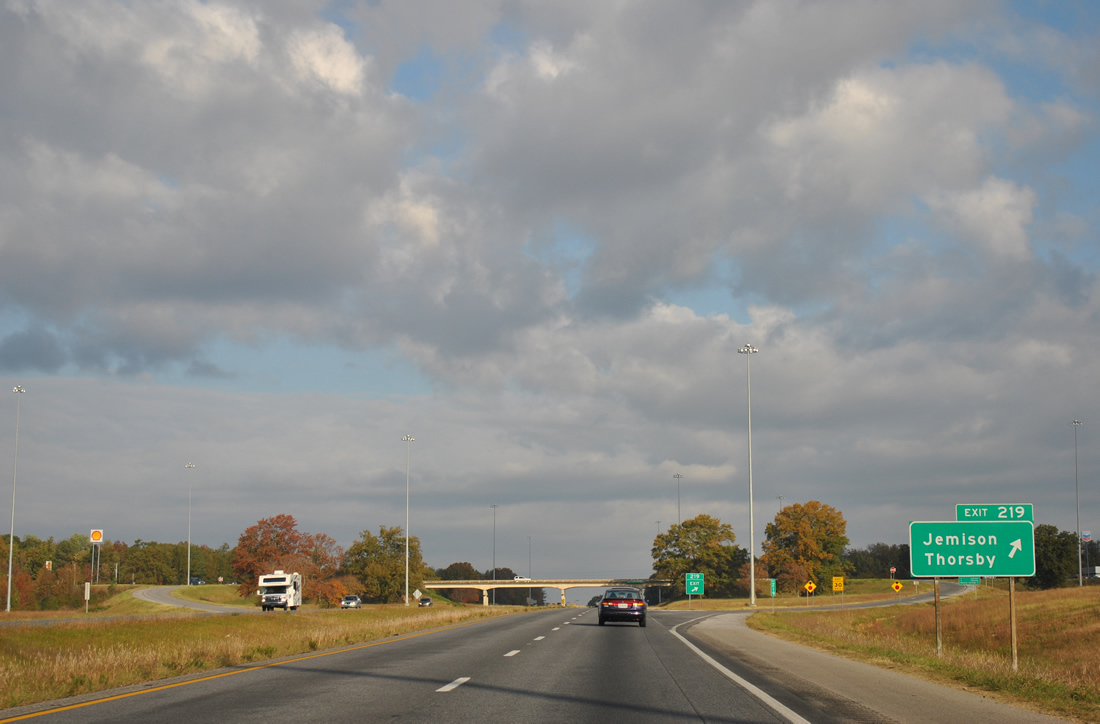
CR 42 extends 5.5 miles east from Exit 219 to SR 149. Like guide signs for Exits 200 and 208, this Chilton County route is not acknowledged from Interstate 65.
11/04/09
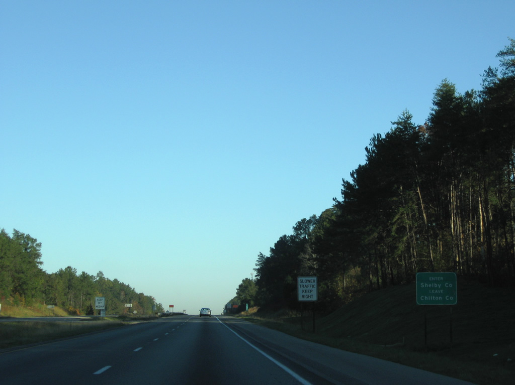
Interstate 65 crosses the Shelby County line 6.7 miles north of Exit 219 near South Calera.
11/04/09

Photo Credits:
- ABRoads: 11/04/09, 11/03/11, 10/07/12
- Alex Nitzman: 07/15/05
Connect with:
Page Updated Wednesday October 10, 2012.