
U.S. 31

U.S. 31 joins the four largest metropolitan areas of Alabama northward from the Gulf Coast to the Appalachian Piedmont. Generally paralleling, or running concurrent with Interstate 65, U.S. 31 serves as an alternate route, or for local traffic throughout the state.
U.S. 31 Alabama Guides
North
Spanish Fort to Perdido - 15 photos
U.S. 31/SR 59 Loxley to Bay Minette - 15 photos
Bay Minette to Atmore - 46 photos
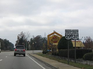
U.S. 29/31 Flomaton to Brewton - 11 photos

Atmore to Brewton - 13 photos
Castleberry to McKenzie - 63 photos
Montgomery to Prattville - 30 photos
Pine Level to Canton - 76 photos
Alabaster to Homewood - 23 photos
Birmingham - 55 photos
South
Birmingham - 65 photos
Clanton to Mountain Creek - 40 photos
Marbury to Prattville - 38 photos
Montgomery to Pintlala - 56 photos
Davenport to Greenville - 52 photos
Evergreen to Castleberry - 13 photos
Brewton to Flomaton - 13 photos
U.S. 29/31 Brewton to Flomaton - 10 photos
Perdido to Spanish Fort - 9 photos
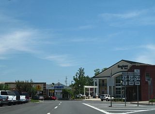
U.S. 31/SR 59 - 15 photos
Loxley to Spanish Fort - 16 photos
The US highway originates in Spanish Fort, at the turn of U.S. 90 west to Battleship Parkway across Mobile Bay. The initial stretch of U.S. 31 travels independent of I-65, as it heads east to Stapleton and north with SR 59 to Bay Minette.
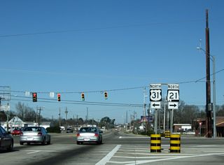
Beyond the Baldwin County seat and SR 59, U.S. 31 angles northeast along the I-65 corridor to Perdido. The freeway continues northeast while U.S. 31 turns east to Atmore, and from Flomaton to Brewton alongside U.S. 29. Bypassing the town of Pollard and McCall, U.S. 29/31 overlap for 14.4 miles. The four lane alignment between SR 113 and Brewton opened by 1969 north of Pollard. Additional expansion of U.S. 29/31 took place by 1995 northeast of Pollard and west of Pollard by 2008.
U.S. 31 resumes along a northward course with two lanes from U.S. 29 and Downtown Brewton to Camp McMillan and U.S. 84 at Evergreen. U.S. 29 maintains an eastern trajectory to Andalusia. The South Alabama Regional Planning Commission lists a Brewton bypass in their long range plans.
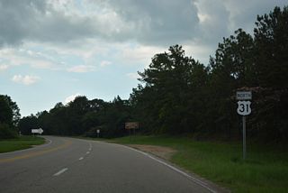
U.S. 84 combines with U.S. 31 east through Evergreen as part of its cross state route from Grove Hill to Dothan. U.S. 31 splits with the route east of the Conecuh County seat to meander northeast to McKenzie and north back toward I-65 at Georgiana. The rest of the highway north to Hope Hull stays east of the freeway corridor.
Within the Montgomery area, U.S. 31 switches sides with I-65, bypassing the capital city along an arterial route between Montgomery Regional Airport (BHM) and Maxwell Air Force Base. Portions of U.S. 80 and U.S. 82 formerly overlapped with U.S. 31 along this stretch.
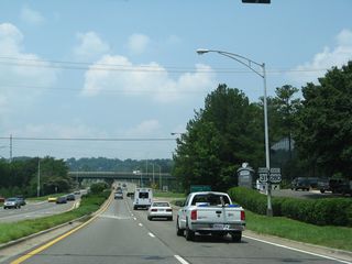
North through Prattville, a growing suburb of Montgomery, U.S. 31 and I-65 converge again. The two travel respectively rural routes north to Clanton and Calera, where the Birmingham suburbs begin. Through the remainder of Shelby County, U.S. 31 constitutes a slower moving arterial or local route parallel to the increasingly busy I-65. The two meet twice ahead of Hoover and south Jefferson County, and again near Vestavia Hills.
U.S. 31 loops east from I-65 through Homewood and along the east side of Downtown Birmingham along the Elton B. Stephens Expressway. The mostly elevated freeway doubles as the western extent of U.S. 280, and ties into Interstates 20-59 a short distance east of the Malfunction Junction interchange with I-65.
Through North Birmingham, U.S. 31 represents an older thoroughfare with four lanes to the east of Interstate 65. Future ramps will connect the US highway with Interstate 22 at Lewisburg, while a trumpet interchange situated to the north links with I-65. Beyond that exchange through Fultondale, U.S. 31 doubled as a temporary alignment of I-65 to Gardendale, Morris and Kimberly until 1985, when the freeway was completed.
Interstate 65 and U.S. 31 overlap north from Exit 284 to Exit 287, with the former alignment discontinuous as a through route. The two routes part ways from there, with U.S. 31 arcing northeast to Garden City and back to I-65 by way of Hanceville and Cullman. The two cross paths again at Exit 318 near Lacon.
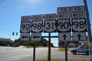
North from Falkville, U.S. 31 stays west of Interstate 65 through Hartselle and the city of Decatur. U.S. 72 Alternate merges with U.S. 31 across the Tennessee River as part of its route east to Interstate 565 and Huntsville. Beyond the river, U.S. 31 splits to the north to Athens and its merge with I-65 north into Tennessee at Exit 354.
State Route 3
SR 3 follows U.S. 31 north from Spanish Fort to Athens and the US route merge with Interstate 65 in Limestone County. Totalling 374.377 miles, SR 3 accompanies all but the northernmost 8.148 miles of U.S. 31, which overlay 65 to the Tennessee state line.
Historically, Alabama Route 3 split with U.S. 31 at Stapleton and followed the current route of SR 59 southward to Gulf Shores.
 scenes
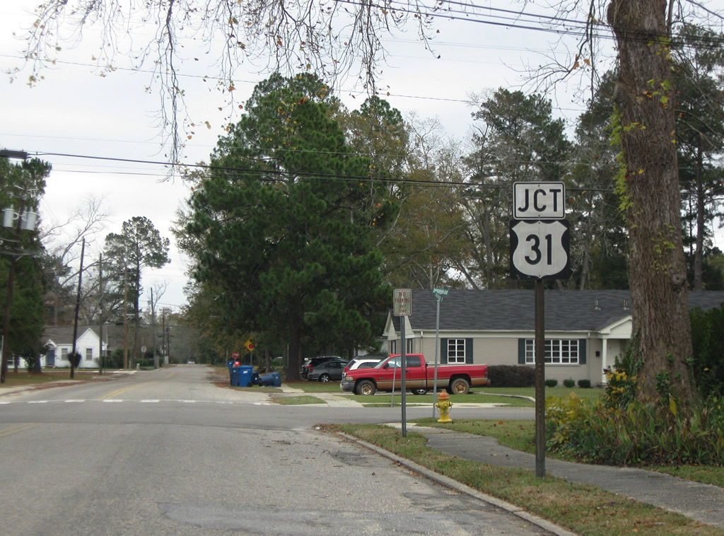
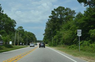
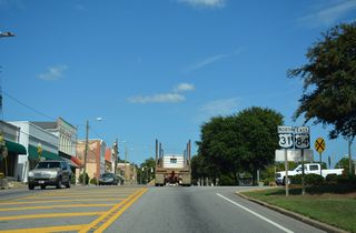
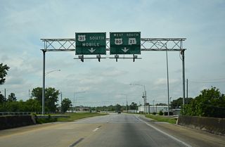
U.S. 31 shield posted one block west of Douglas Avenue along Underwood Street in Brewton.
12/05/09
Linking U.S. 31/SR 59 (McMeans Avenue) in Bay Minette with SR 225 north of Carpenter, D'Olive Street Extension opened by 2007. D'Olive Street becomes part of U.S. 31 east of McMeans Avenue in this scene.
04/09/09
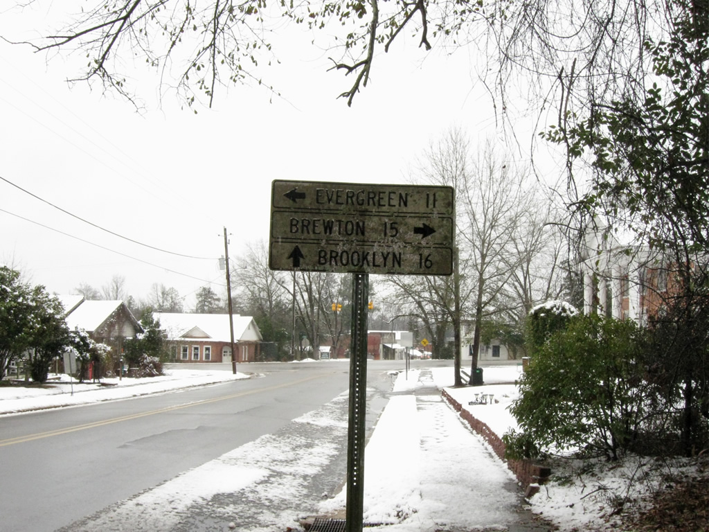
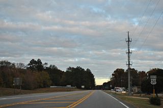
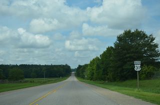
An old style guide sign posted along Conecuh County Road 6 (Cleveland Avenue) east at U.S. 31 in the town of Castleberry.
02/12/10
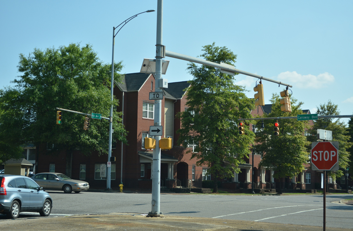
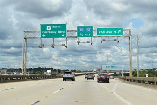
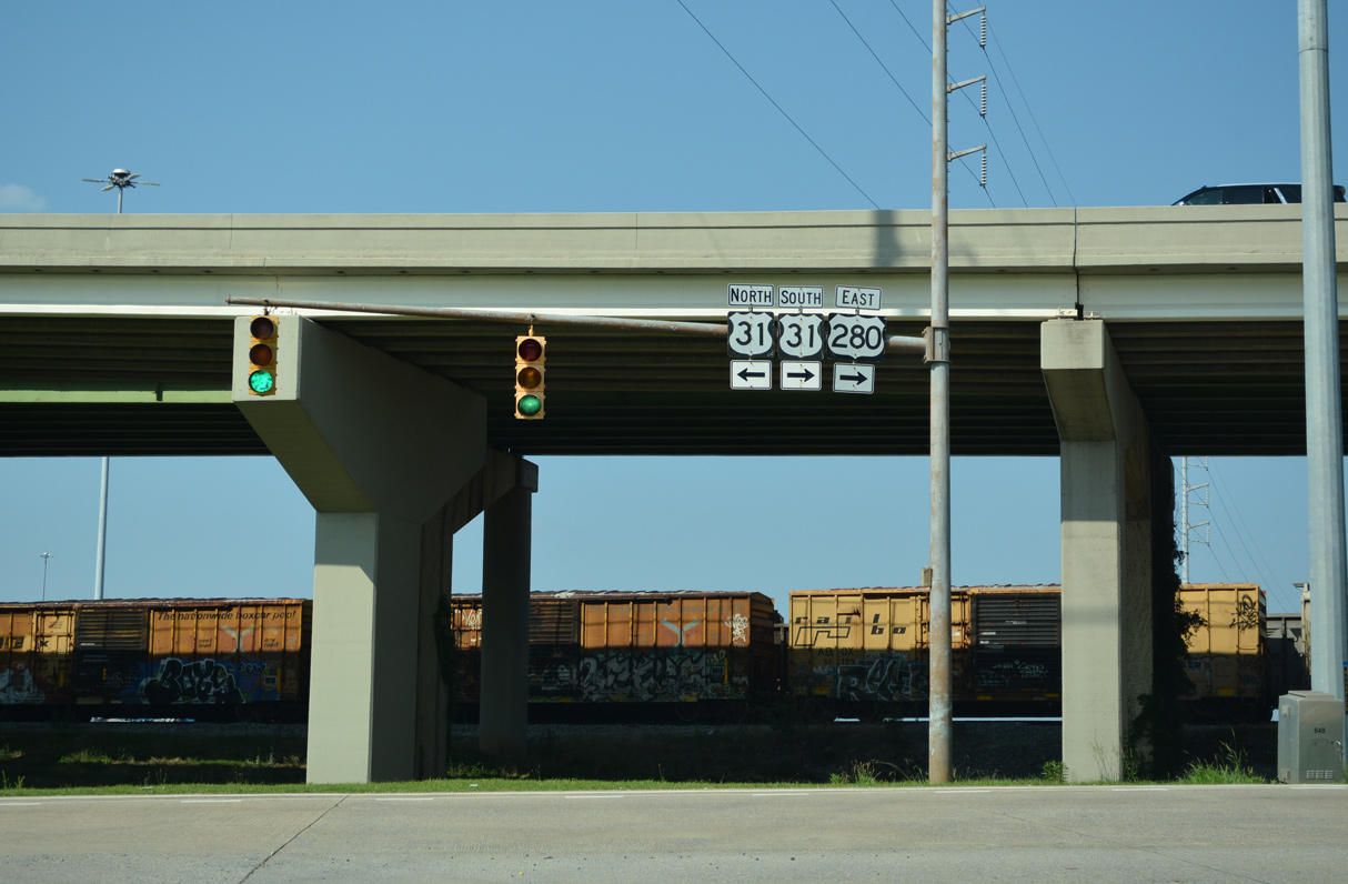
Missing trailblazer at the end of the exit ramp linking I-59/20 with Carraway Boulevard (26th Street N) with U.S. 31 north.
06/16/22
Carraway Boulevard runs north along the Red Mountain Expressway from U.S. 11 (1st Avenue N) to become part of U.S. 31 below the exchange with I-59/20.
06/16/22
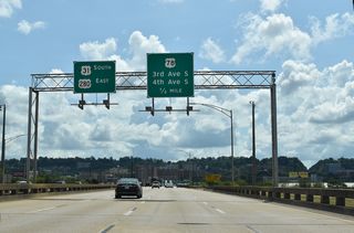
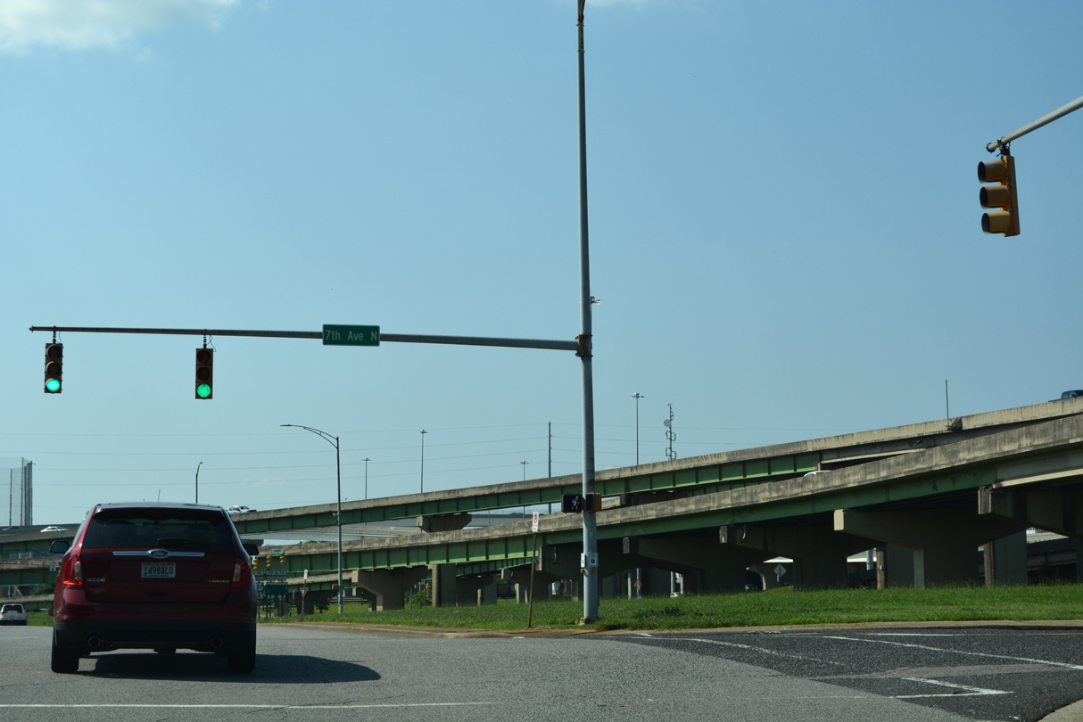
Carraway Boulevard intersects Reverend Abraham Woods, Jr. Boulevard (8th Avenue N) before turning to the north end of the Red Mountain Expressway (U.S. 31/280).
06/16/22
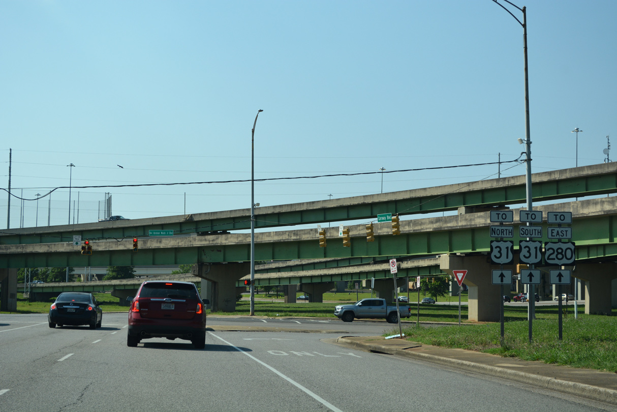
U.S. 280 east begins where U.S. 31 south shifts from Carraway Boulevard onto the Red Mountain Expressway to Hoover.
06/16/22
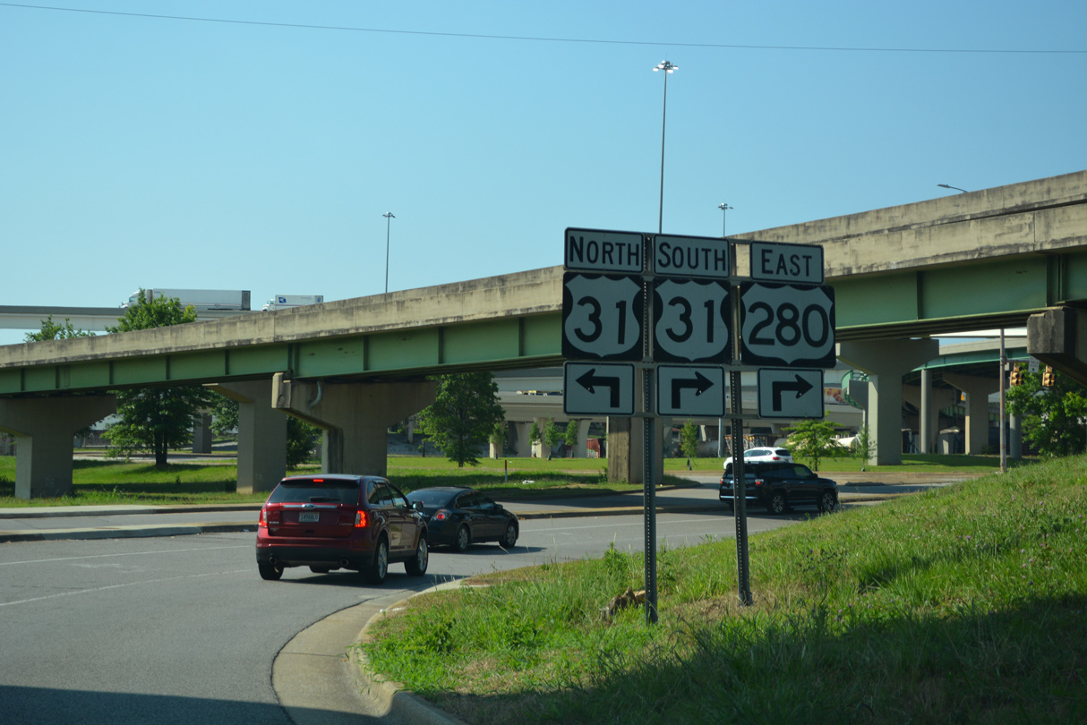
Carraway Boulevard continues north as U.S. 31 to the Norwood, Druid Hills and North Birmingham neighborhoods.
06/16/22
Photo Credits:
- Brent Ivy: 12/05/09, 02/12/10
- Alex Nitzman: 04/09/09, 06/16/22
Connect with:
Page Updated Wednesday August 17, 2022.