
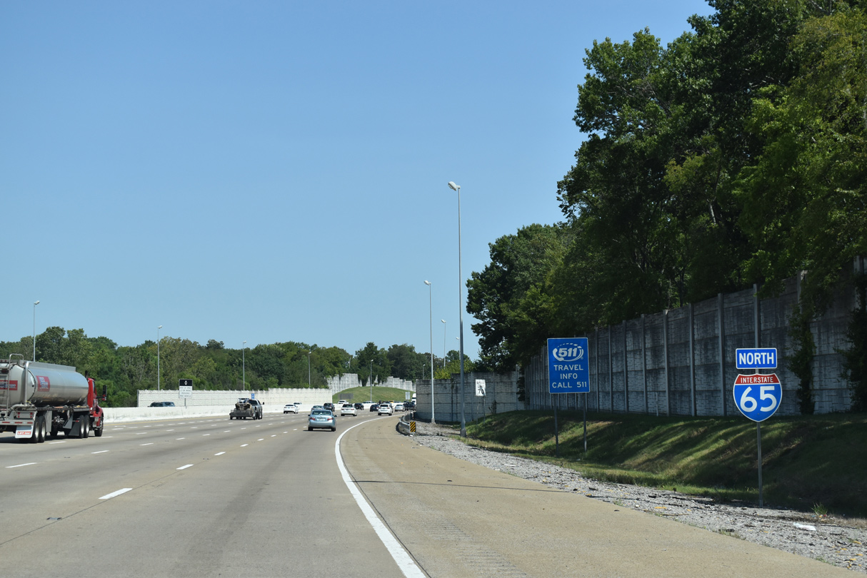
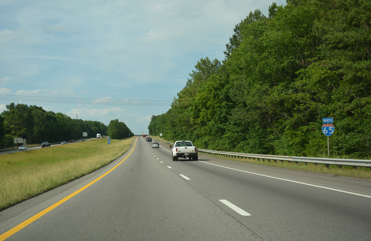
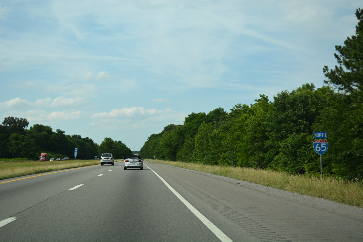
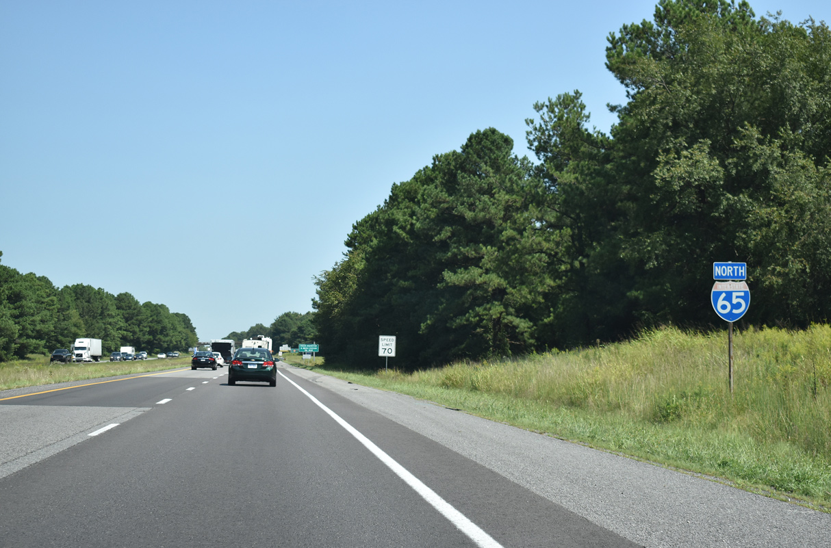
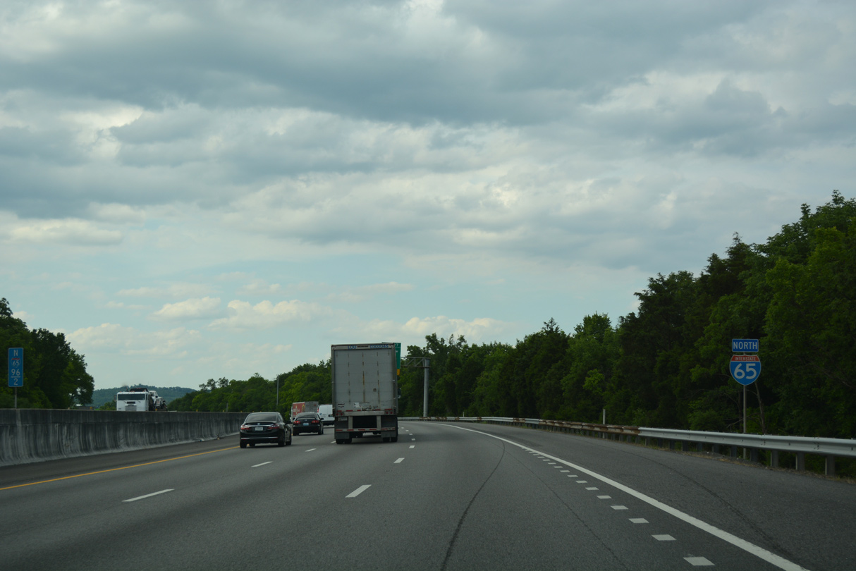
Interstate 65 North - Goodlettsville to Kentucky
Interstate 65 enters the state of Kentucky at the "Simpson Offset". Here the Kentucky border dips southward from a relatively straight line, forming a wedge toward Mitchellville, Tennessee. Surveyors Thomas Walker and Daniel Smith were in the area during December 1779 and January 1780 to record the official state boundary during a cloudy weather period. The conditions disallowed the men from taking astronomical observations, resulting in a geographic anomaly where the surveyors were clearly south of the intended state boundary.
Surveyors revisited the notch in 1830 but recommended that the border be left as it was, likely due to political disputes. Changes would later come by 1859 as a Tennessee land owner named Middleton claimed 101 acres of his property belonged in Tennessee. Two surveyors were sent and agreed, resulting in a 101-acre parcel dubbed the "Middleton Offset", be carved out of the original Kentucky notch for Tennessee.1
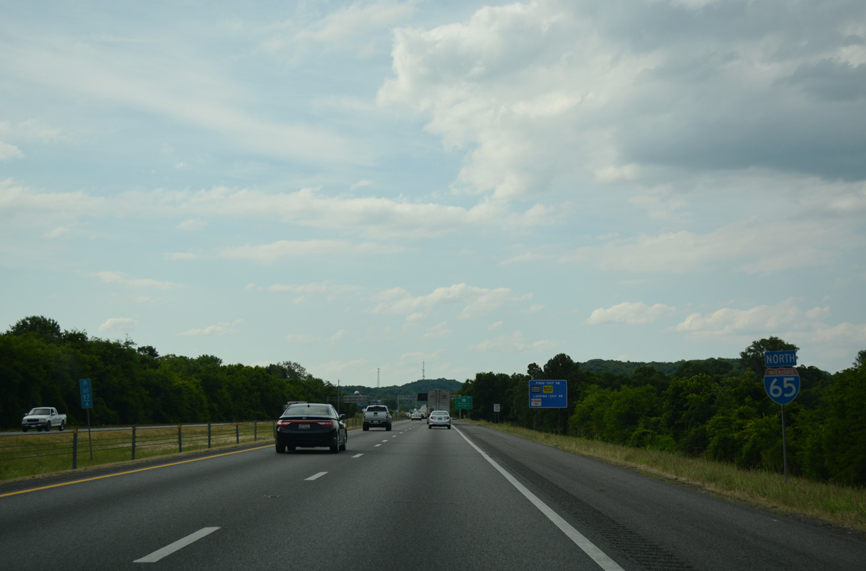
I-65 northbound continues with five lanes to the wye interchange (Exit 95) for SR 386 (Vietnam Veterans Boulevard) north.
09/07/20
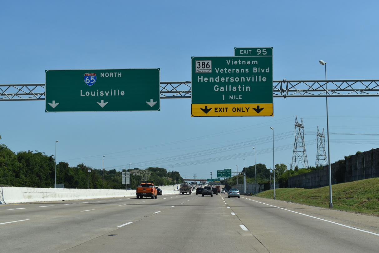
The left lane HOV-2 restriction ends ahead of the split with SR 386 north at Exit 95.
09/07/20
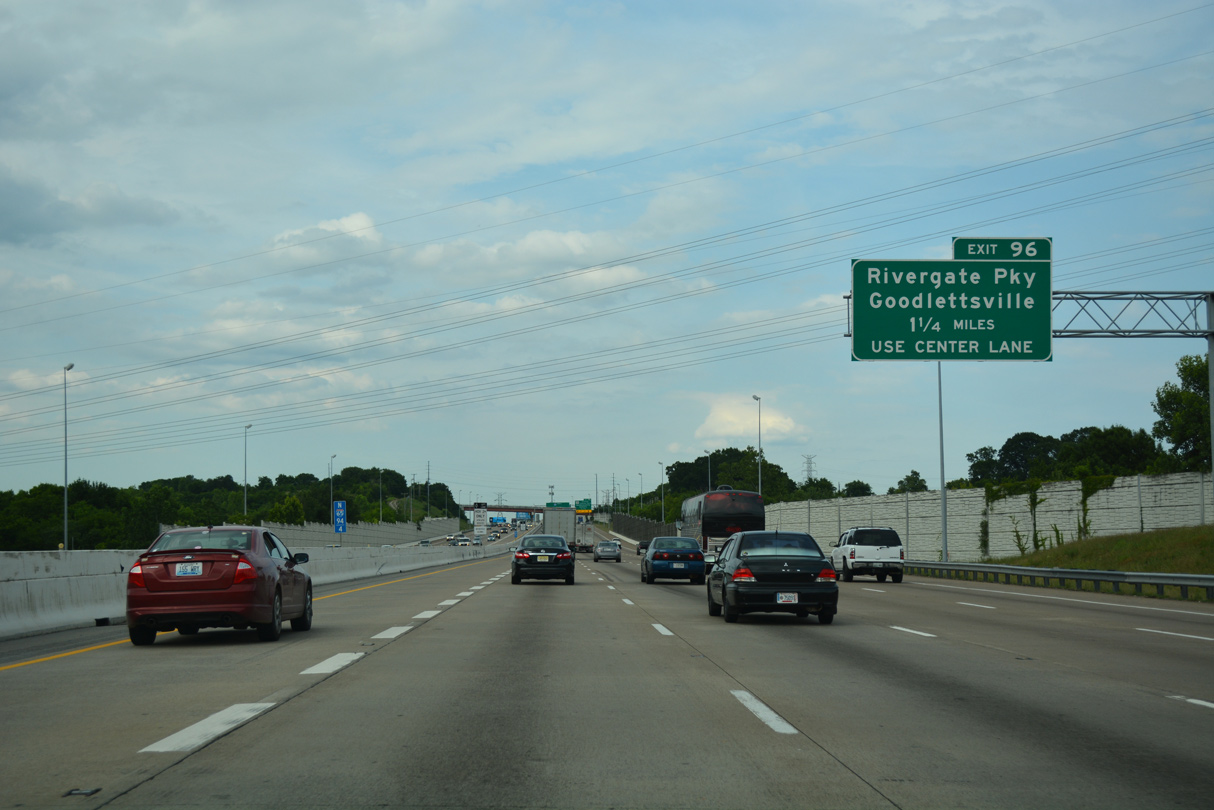
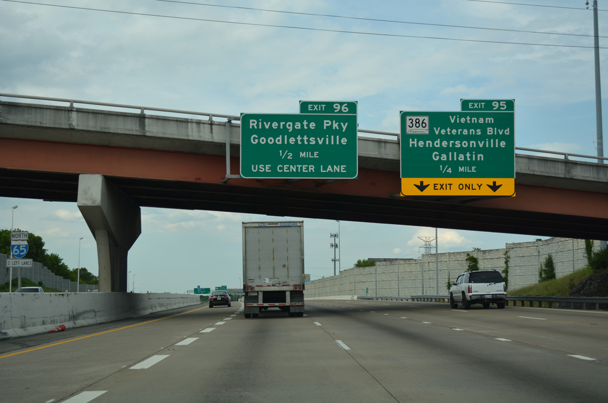
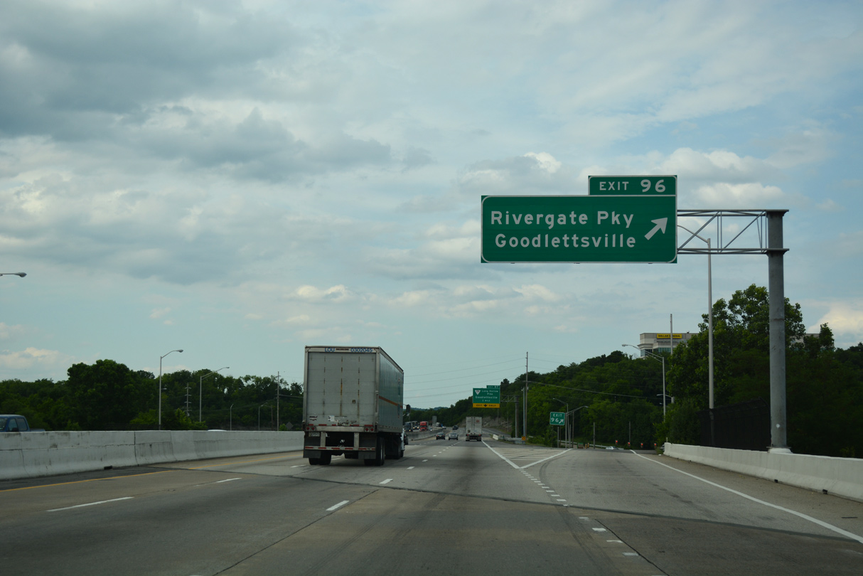
Rivergate Parkway stems north from the commercial area of U.S. 31E (Gallatin Pike) and RiverGate Mall to meet Interstate 65 adjacent to SR 386 at Exit 96.
06/11/17
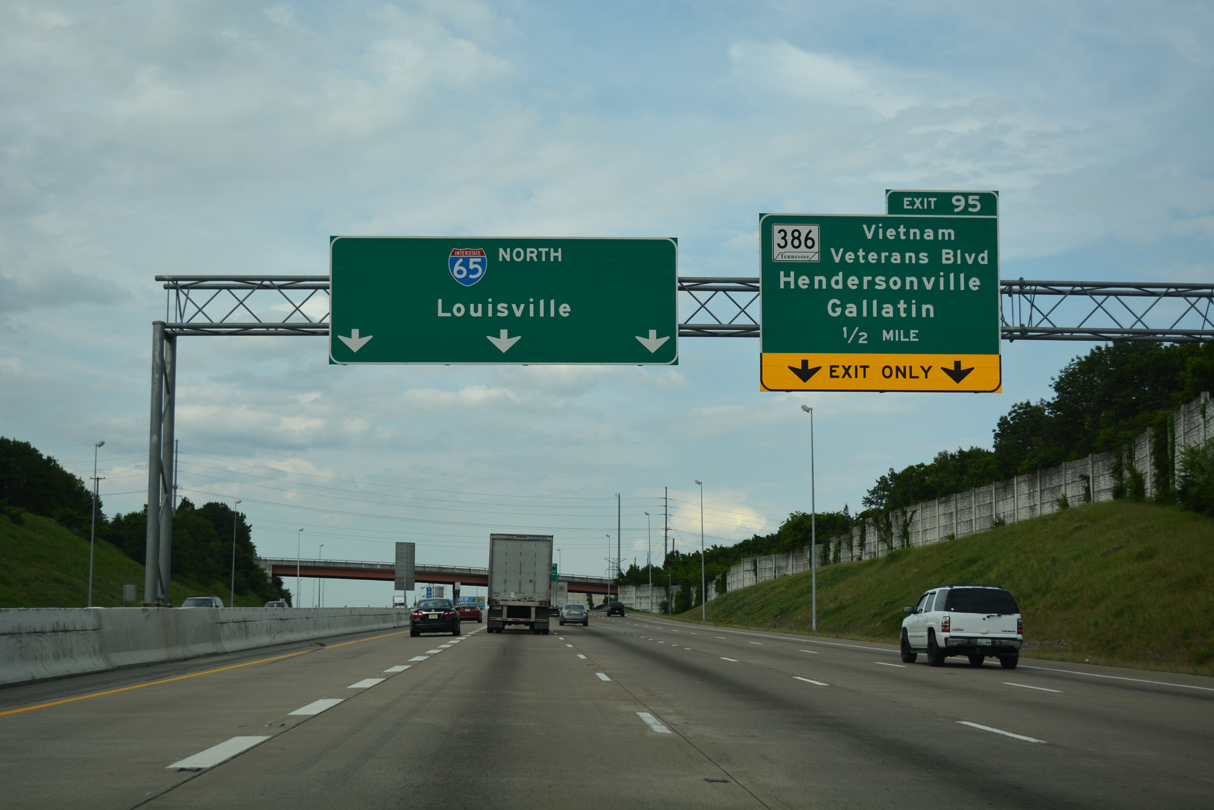
Two lanes separate from I-65 north at Exit 95 for SR 386 (Vietnam Veterans Boulevard), a 15.00 mile freeway spur east to Hendersonville and SR 174 at the Sumner County seat of Gallatin.
06/11/17
SR 386 ended at U.S. 31E (Gallatin Road), east of Hendersonville and west of Gallatin, until the extension to SR 174 (Long Hollow Pike) opened in 2007.2
06/11/17
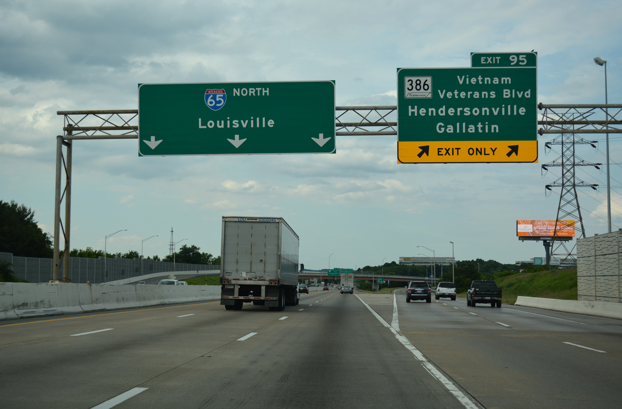
SR 386 constitutes a commuter route east from Interstate 65 to Gallatin and a bypass of Hendersonville for interests to U.S. 31E north to Westmoreland and Scottsville, Kentucky.
06/11/17
The parclo interchange (Exit 96) with Rivergate Parkway is the first of two exits for Goodlettsville in north Davidson County.
06/11/17
Rivergate Parkway extends Myatt Drive north from Edenwold to Rivergate Mall and U.S. 31W/41 (Dickerson Pike) to the northwest.
06/11/17
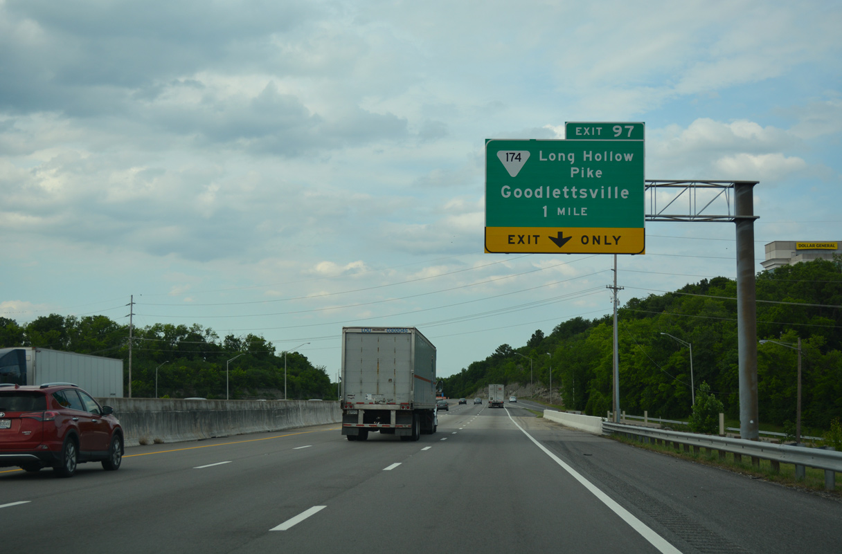
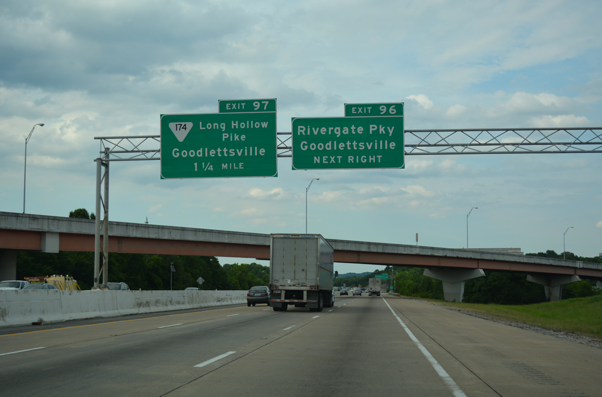
Interstate 65 stays east of the Goodlettsville business district to a diamond interchange with SR 174 (Long Hollow Pike).
06/11/17
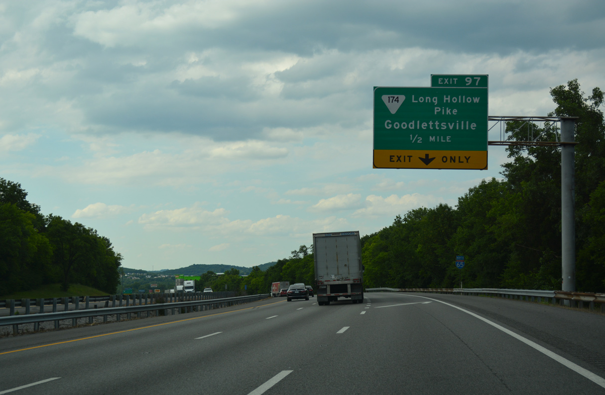
SR 174 (Long Hollow Pike) meanders east from Goodlettsville to Shackle Island, Ocana and SR 386 (Vietnam Veterans Boulevard) in suburbanized west Gallatin.
06/11/17
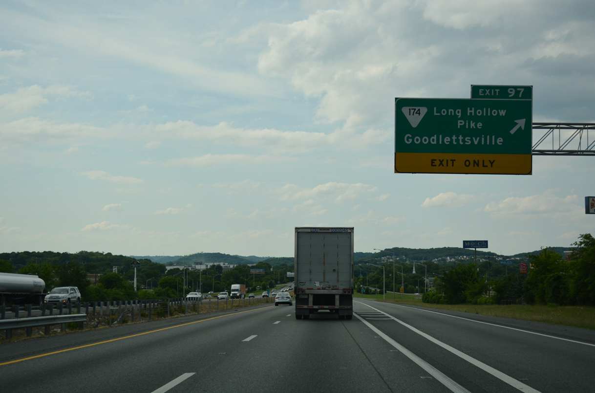
A bevy of travelers services, offices, and warehouses line the exchange (Exit 97) with SR 174. SR 174 concludes just west of I-65 at U.S. 31W/41 (Dickerson Pike) in Goodlettsville nearby. Points of interest for Exit 97 include Historic Mansker's Station.
06/11/17
Confirming marker posted between the Long Hollow Pike entrance ramp and Mansker Creek.
06/11/17

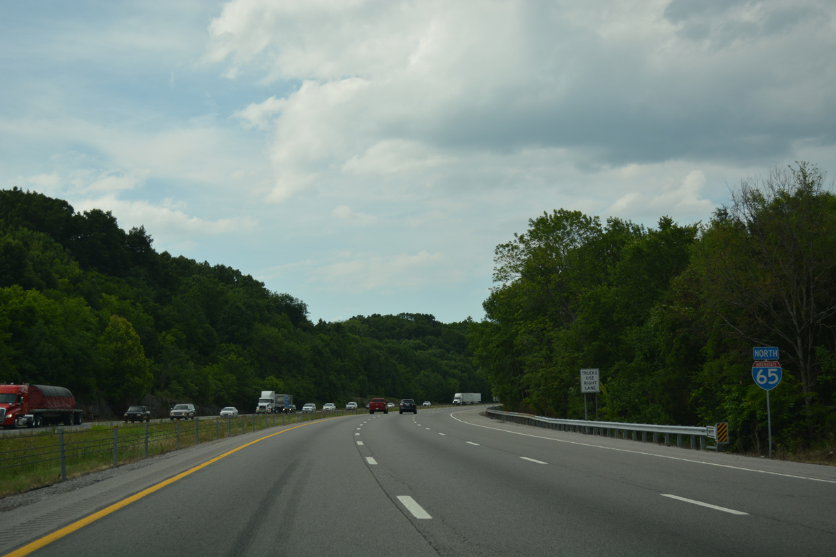
I-65 enters the western wedge of Sumner County between Mansker Creek and Exit 104 to SR 257. U.S. 31W partitions with U.S. 41 (Springfield Highway) at a trumpet interchange just southwest of forthcoming Exit 98.
06/11/17
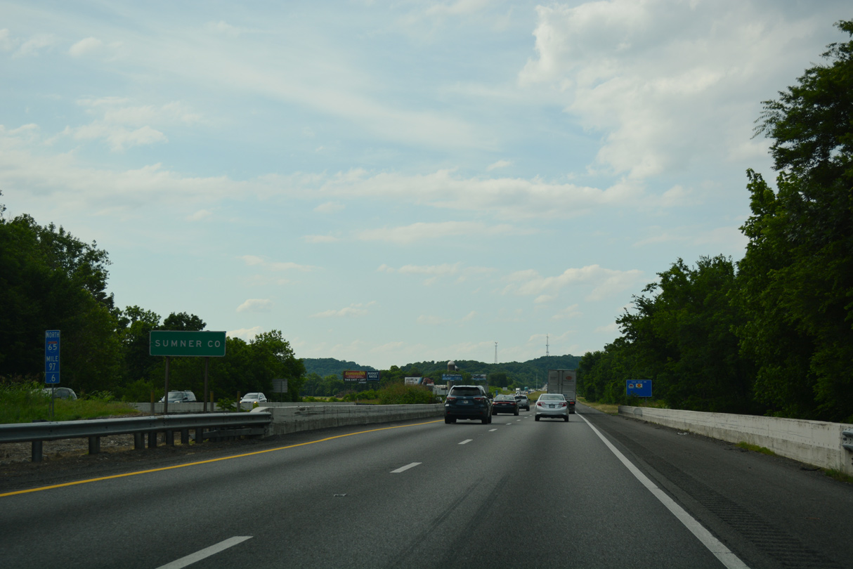
Interstate 65 winds through Sumner County over the ensuing 5.92 miles.
06/11/17
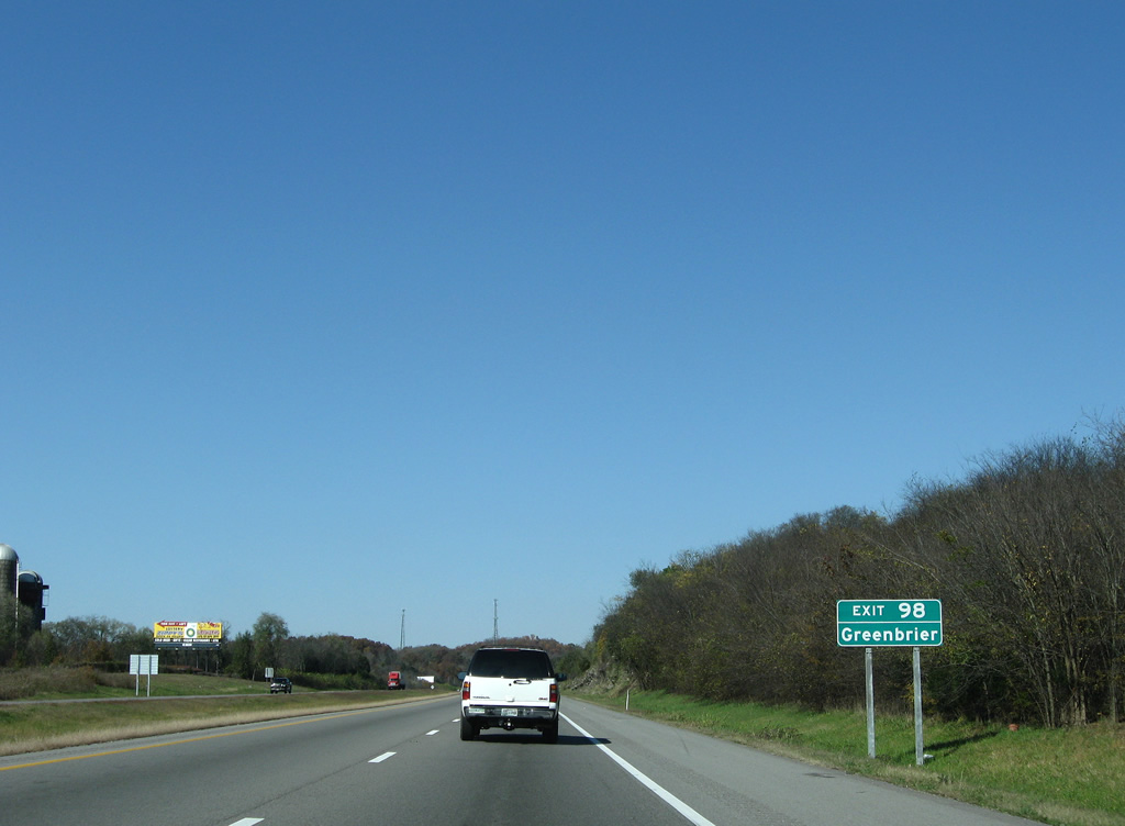
The lone interchange within Sumner County joins with U.S. 31W north adjacent to the split with U.S. 41. U.S. 41 (Springfield Pike) continues north to Ridgetop, Greenbrier and Springfield.
11/04/09
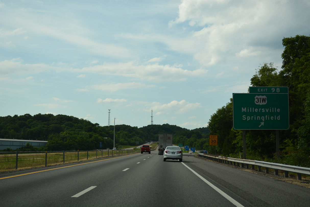
U.S. 31W parallels I-65 north from the diamond interchange at Exit 98 through Millersville, White House and Mitchellville. U.S. 31W meets I-65 next directly in Kentucky.
06/11/17
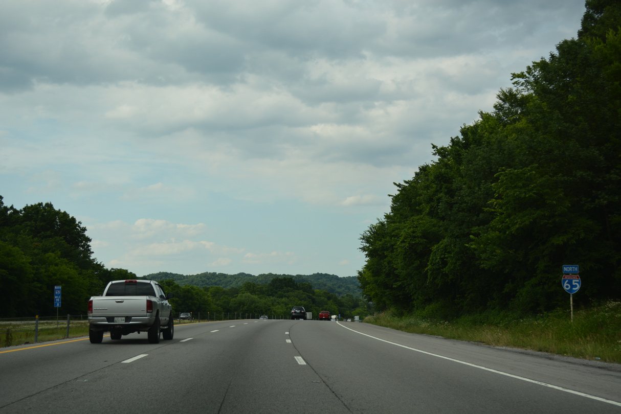
Interstate 65 winds northward through hilly terrain by Rowland Hollow, west of Millersville and White Hill.
06/11/17
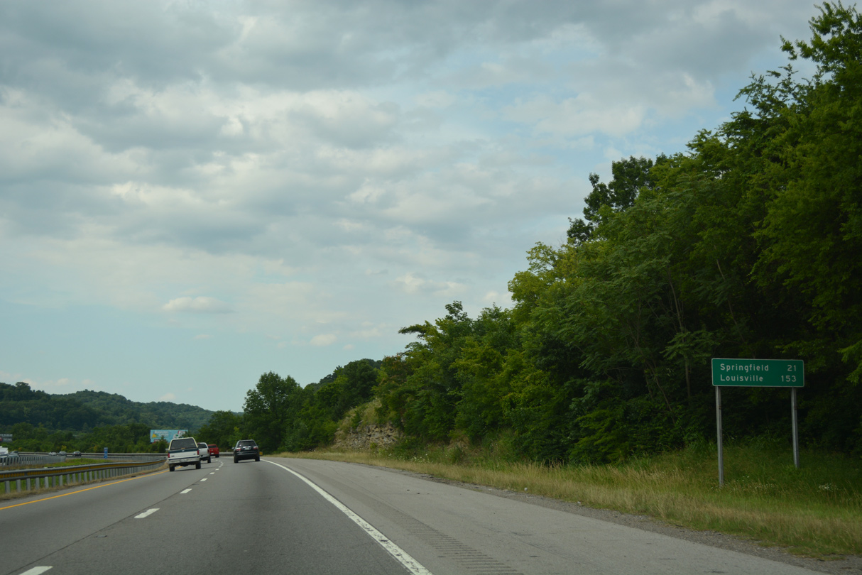
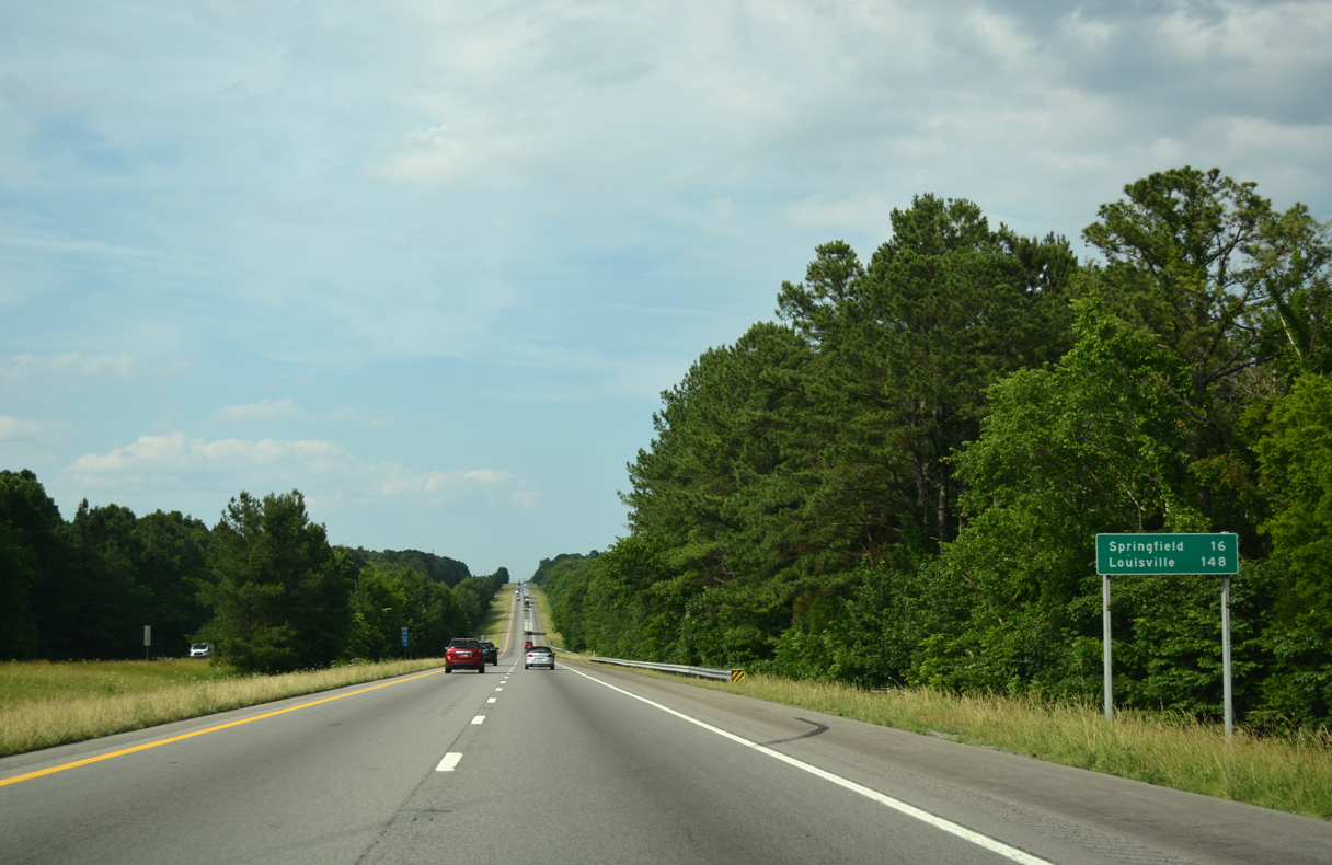
Springfield, the Robertson County seat, is 21 miles to the north, followed by Louisville, Kentucky in 153 miles.
06/11/17
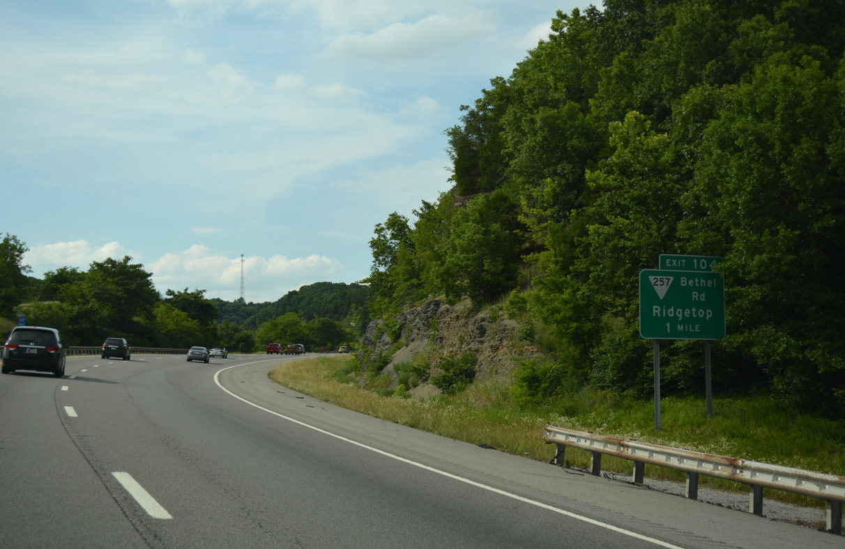
SR 257 (Bethel Road) meets I-65 at a parclo interchange (Exit 104) in one mile.
06/11/17
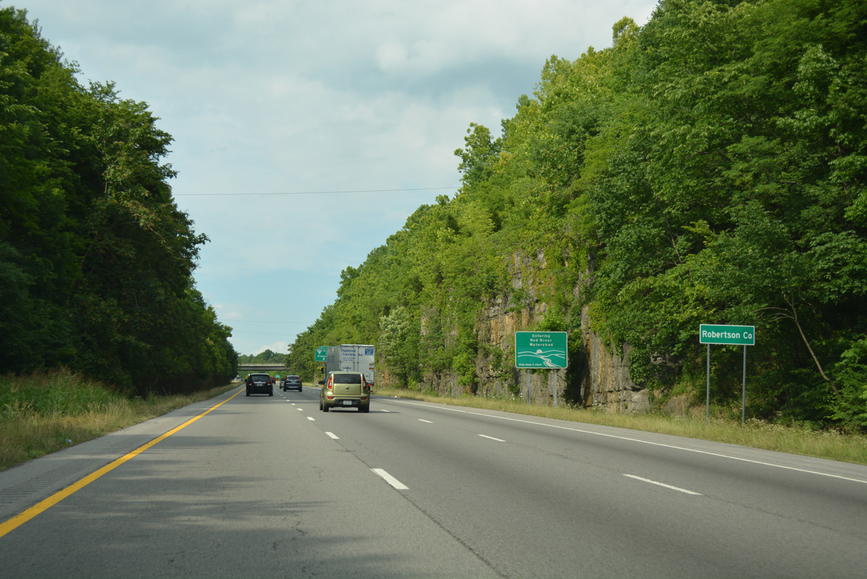
The roadways of Interstate 65 separate over hills north of Slater Creek as travelers enter Robertson County.
06/11/17
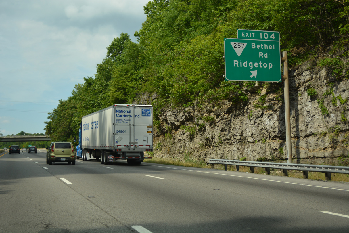
SR 257 (Bethel Road) straddles the Sumner County line west from Exit 104 to U.S. 41 at Ridgetop. Eastward, SR 257 ties into U.S. 31W at White Hill in 1.8 miles.
06/11/17
I-65 advances north across the Sulphur Fork of the Red River.
06/11/17
Distance sign posted beyond the New Hall Road over crossing.
06/11/17
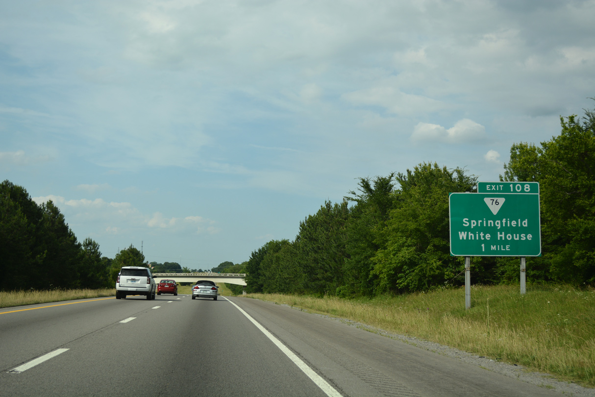
SR 76 (Springfield Road) and Interstate 65 meet at a diamond interchange (Exit 108) west of White House.
06/11/17
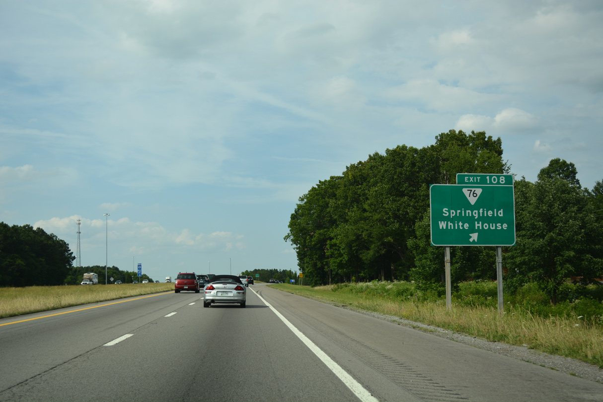
SR 76 leads west 11 miles to SR 49 (E 5th Avenue) at Springfield. SR 76 (Springfield Road) east connects with U.S. 31W in White House.
06/11/17
Progressing north along toward Frey Branch, subdivisions alongside I-65 give way to farm land on the four mile drive to Cherry Mount Hill and Exit 112 for SR 25.
06/11/17
SR 25 joins Interstate 65 at a diamond interchange (Exit 112), 3.5 miles east of Cross Plains.
06/11/17
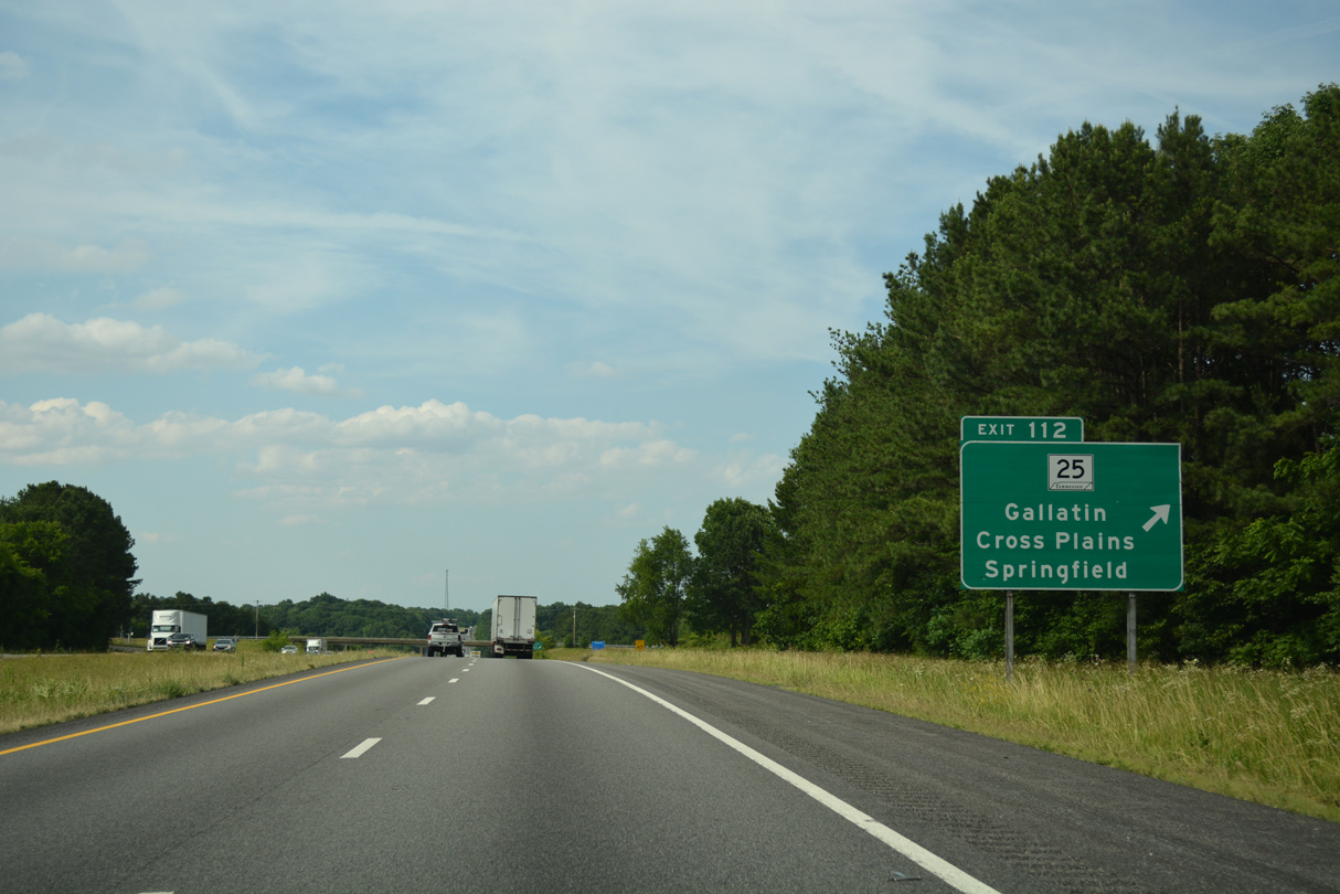
SR 25 stretches 67.4 miles overall from SR 161, northwest of Springfield, to Gallatin, Hartsville and U.S. 70N at Carthage.
06/11/17
Confirming marker north of the Red River South Fork.
06/11/17
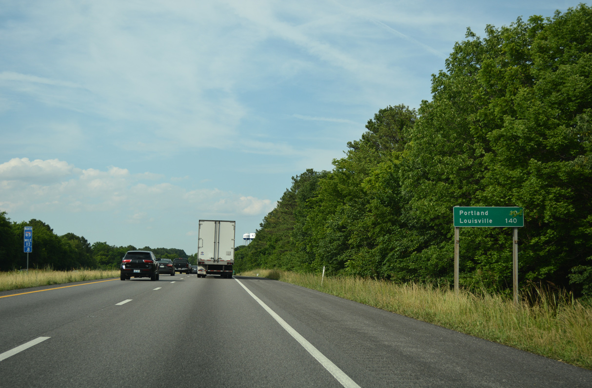
Portland is the last Tennessee destination served by Interstate 65 north. The city lies five miles east of Exit 117 along SR 52.
06/11/17
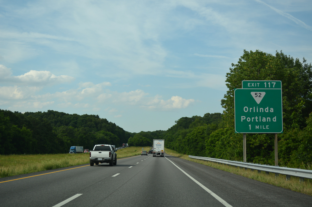
A diamond interchange (Exit 117) links I-65 north with SR 52 at Reubensville in one mile. Adjacent U.S. 31W parallels I-65 northward to Mitchellville and Black Jack at the state line.
06/11/17
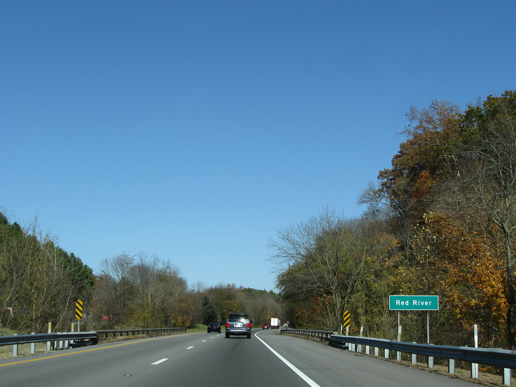
Spanning the Red River, a tributary of the Cumberland River flowing westward from the hills of Sumner County to Clarksville.
11/04/09

SR 52 serves suburban areas of west Portland en route to the city center at SR 109 (Broadway). Westward, SR 52 continues to Handleyton and SR 49 in Orlinda. SR 52 measures 148.88 miles overall from Orlinda to Elgin.
06/11/17
The final confirming marker for I-65 northbound posted within Tennessee.
09/07/20
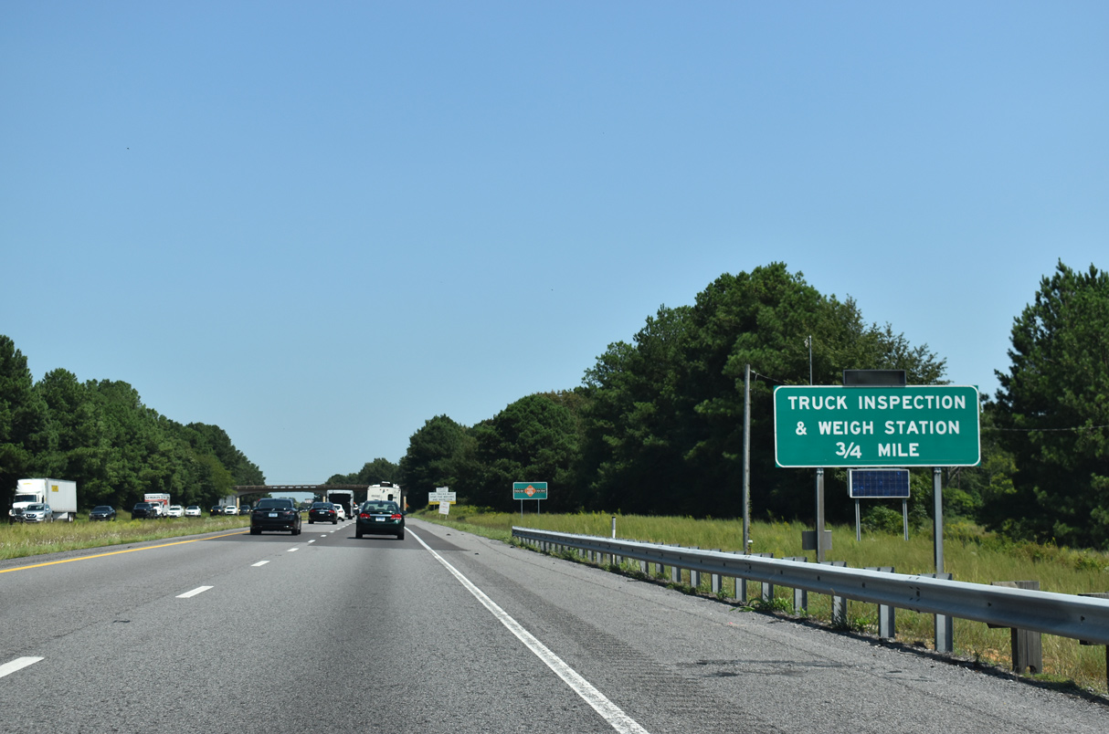
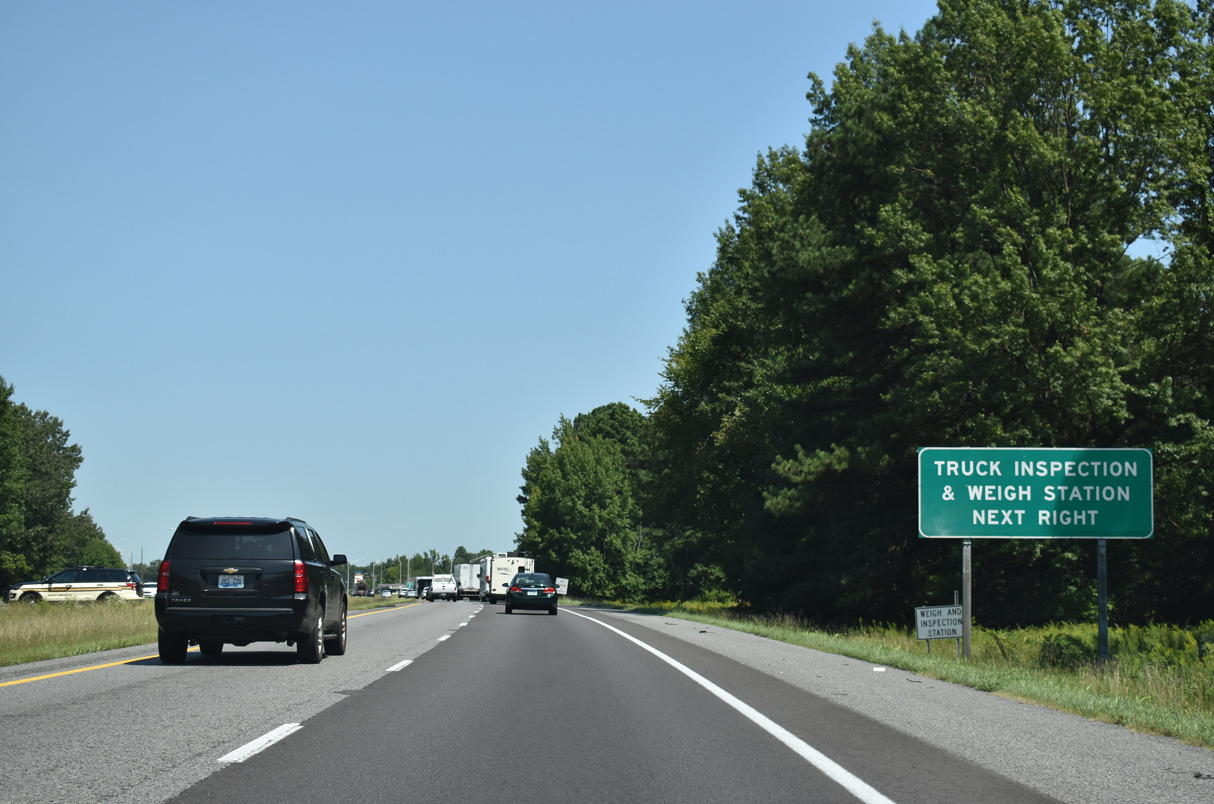
A set of truck weigh stations line both sides of Interstate 65 north of the Byrum Chapel Road overpass.
09/07/20
U.S. 31W lines the east side of the weigh station near Mitchellville. An employee access driveway connects U.S. 31W with the station office.
09/07/20
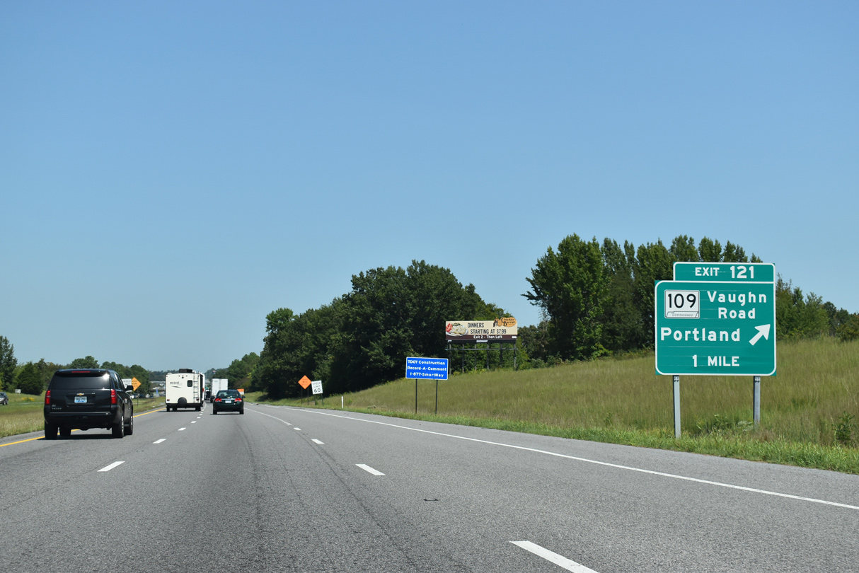
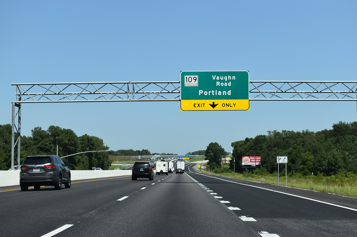
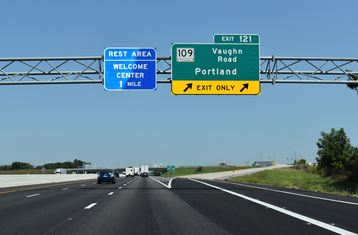
$46.7 million in construction underway from 2015 to 2020 added a parclo interchange (Exit 121) with SR 109 and widened I-65 to six lanes northward to the Kentucky border.3,4
09/07/20
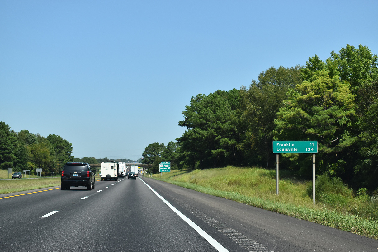
U.S. 31W shifts sides with Interstate 65 just north of the Kentucky state line to connect the freeway with the Simpson County seat of Franklin. The largest city in Kentucky, Louisville, is still a two hour drive.
09/07/20
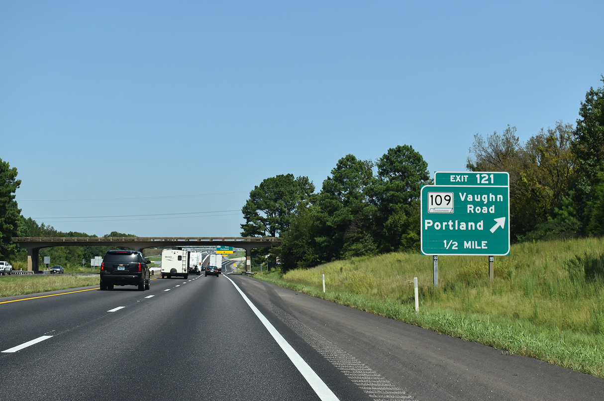
The exchange at Exit 121 and the westward extension of SR 109 from U.S. 31W opened to traffic on November 27, 2019.4
09/07/20
Work associated with adding Exit 121 also widened U.S. 31W north from SR 109 to the Kentucky line.4
09/07/20
SR 109 (Vaughn Road) angles southeast into the city of Portland. Further south, SR 109 traverses a series of hills by South Tunnel to the city of Gallatin.
09/07/20
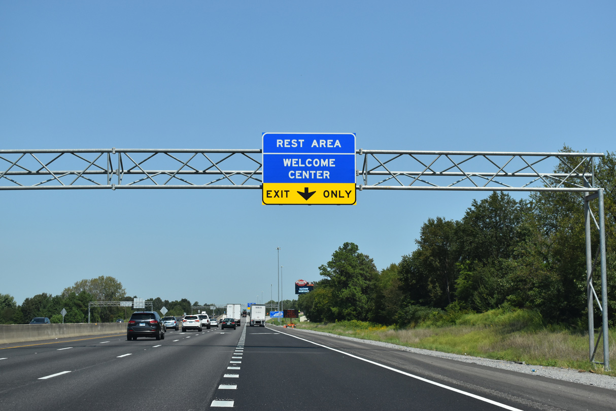
An auxiliary lane opens along I-65 north from SR 109 (Vaughn Road) to the Kentucky Welcome Center.
09/07/20
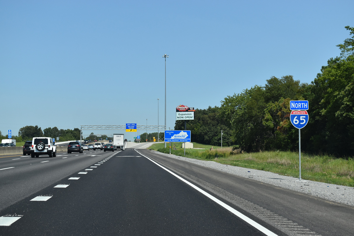
The Kentucky Welcome Center and rest area lies just north of milepost zero and the Simpson County line.
09/07/20

References:
- "Border Wars, Part Two."
http://www.tnhistoryforkids.org/ geography/bordernorthTennessee History for Kids. - Tennessee State Route 386. AARoads Wiki.
- Interstate 65 Interchange at State Route 109. Tennessee Department of Transportation (TDOT), project web page. Accessed September 4, 2020.
- "New I-65 interchange opens in Portland." Portland Sun (TN), December 10, 2019.
Photo Credits:
- ABRoads: 11/04/09, 09/07/20
- Alex Nitzman, Carter Buchanan: 06/11/17
Page Updated Saturday December 16, 2023.