
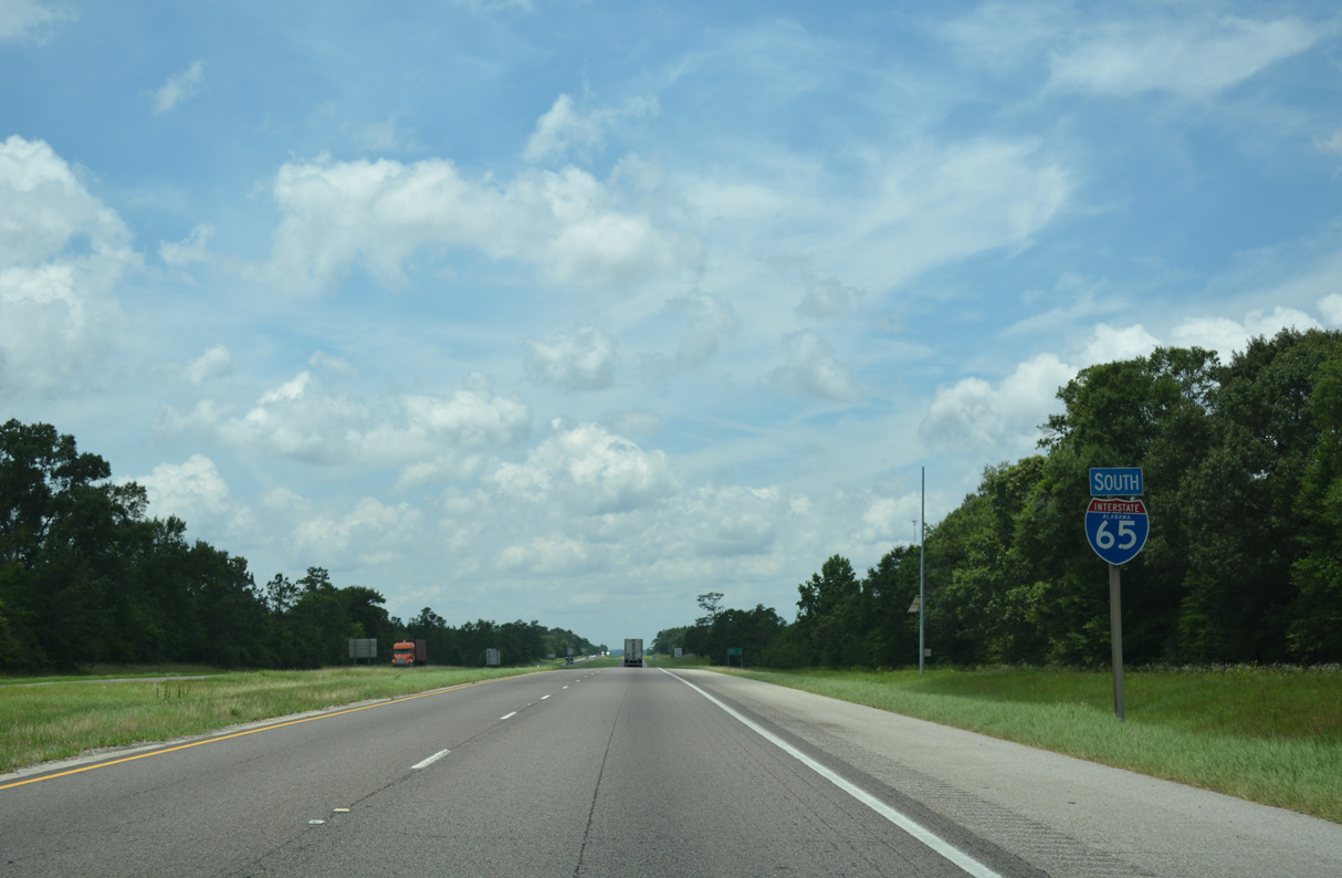
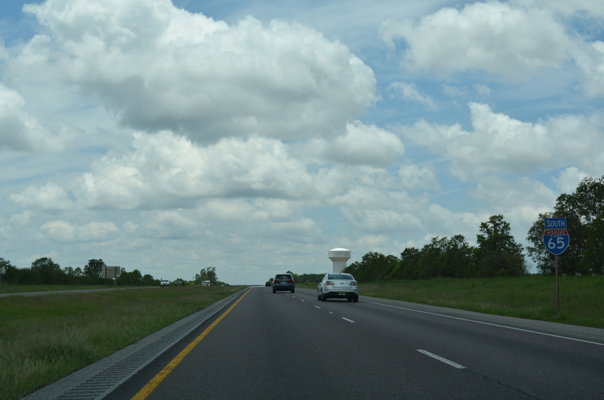
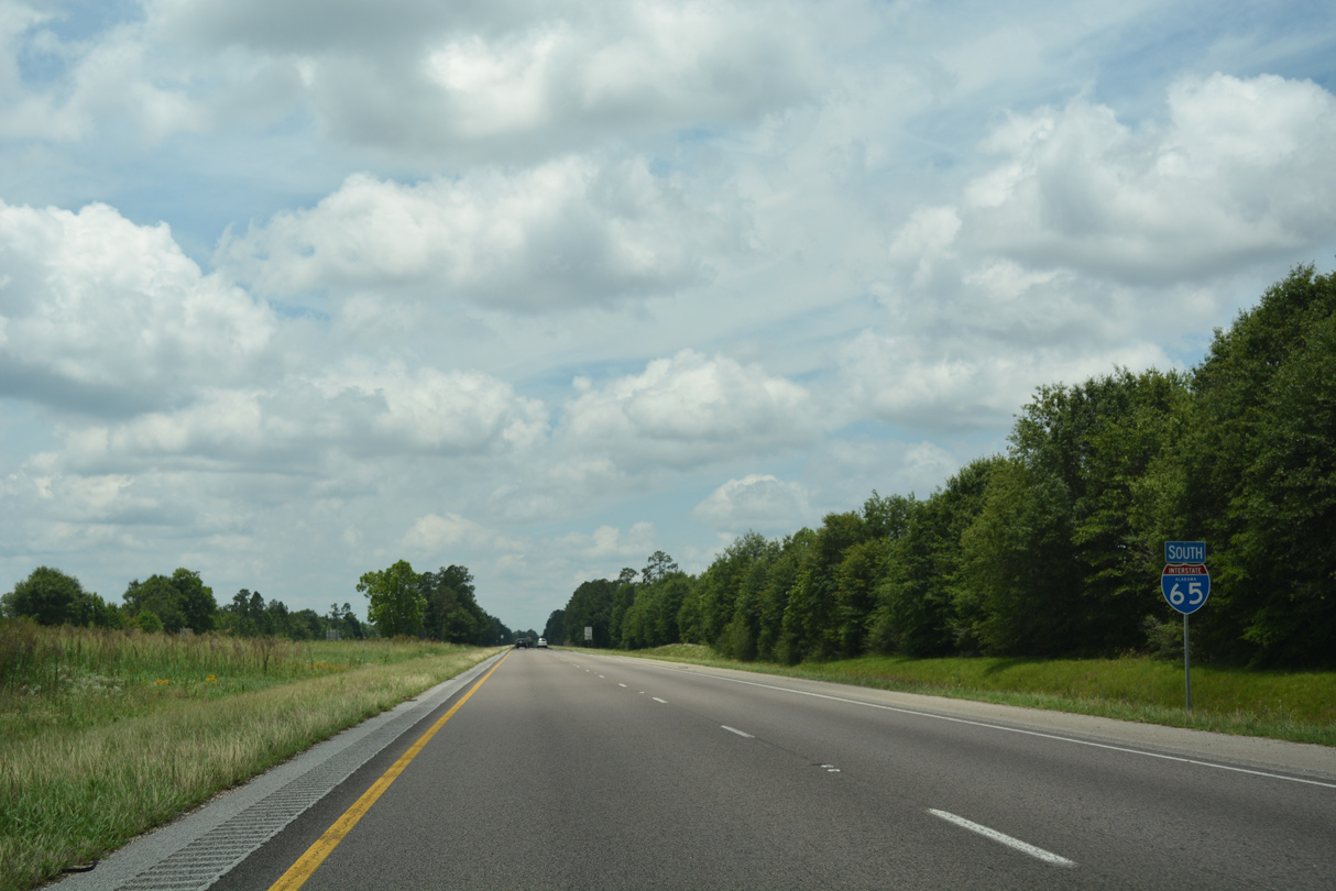
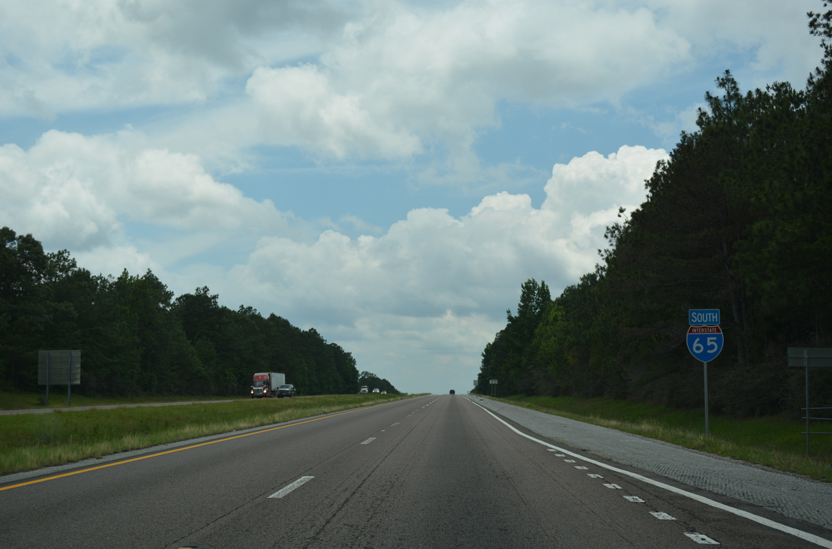
Interstate 65 South - Escambia / Baldwin Counties
 South
South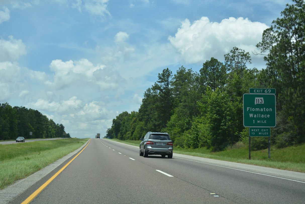
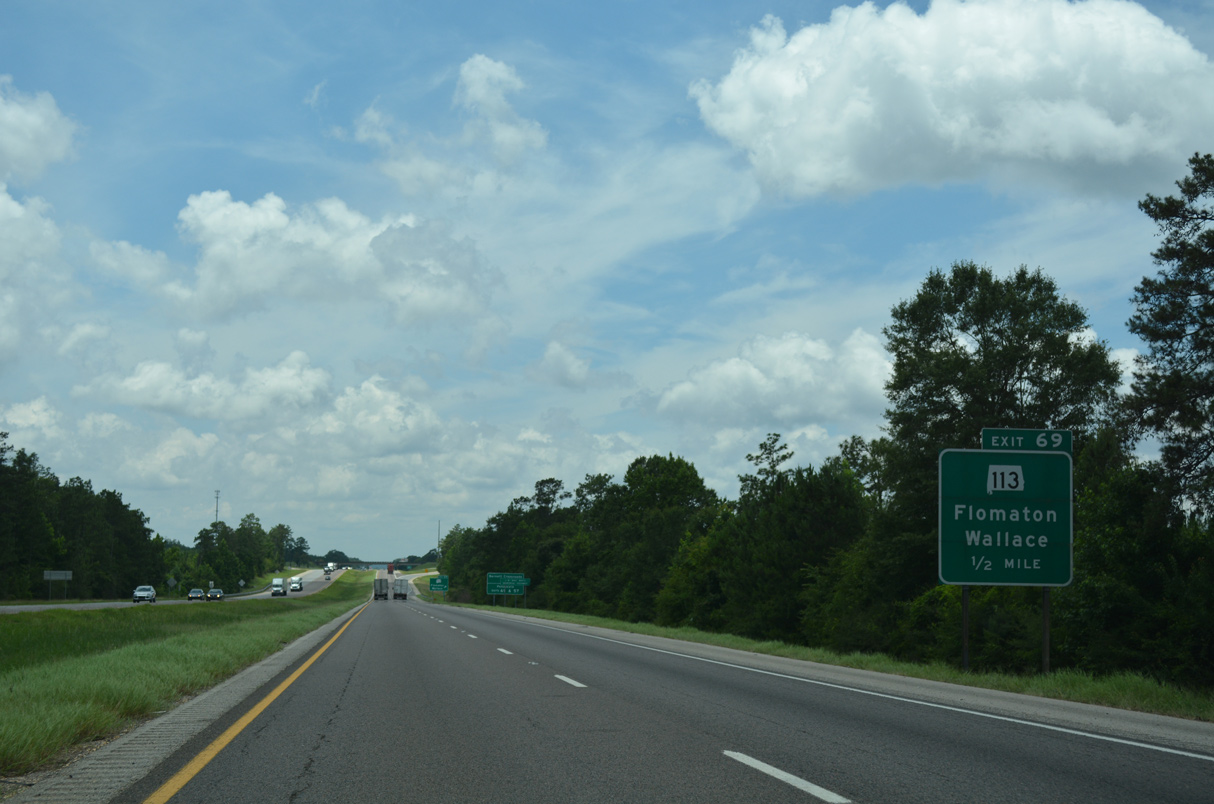
SR 113 commences an 15.46 mile route south to the Florida state line at Flomaton from Exit 69 in one mile.
06/07/17
Together with U.S. 29 south from Flomaton, SR 113 forms a four lane corridor from I-65 into northwest Florida. Plans for the corridor originated in 1967, but only right of way was acquired within Alabama by the 1970s. Widening of U.S. 29 through Escambia County, Florida was completed by 1990. Work on the Alabama portion of the corridor finally broke ground on September 11, 2007. The $22.7 million project to four lane the last 13.5 miles of SR 113 was completed on November 12, 2008.1
06/07/17
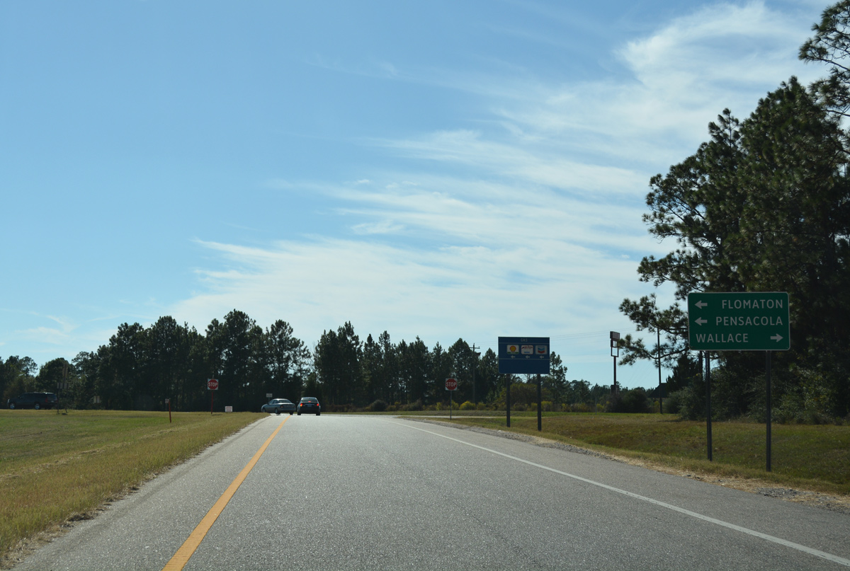
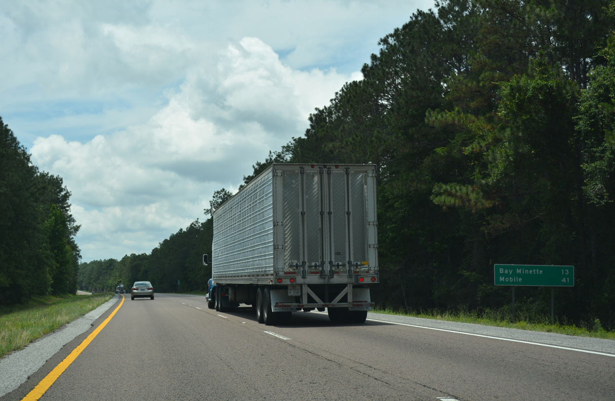
SR 113 to U.S. 29 south and SR 21 to SR 97 south provide the most direct routes to Pensacola from Interstate 65 in Lower Alabama.
10/09/16
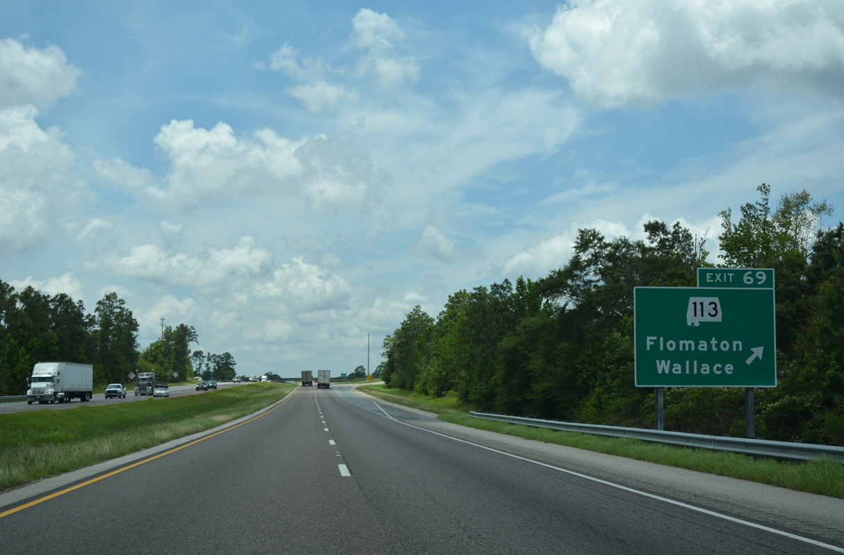
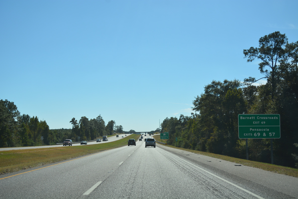
CR 17 (Barnett Highway) ties into the diamond interchange (Exit 69) with SR 113 from Barnett Crossroads to the north.
06/07/17
The rural community of Wallace is 6.8 miles to the east via CR 17 north and CR 40. Pensacola, Florida is a 59 mile drive to the south via SR 113 and U.S. 29.
10/09/16
Interstate 65 angles southwest toward Big Escambia Creek along the ensuing stretch beyond Exit 69.
06/07/17
An 11 mile long exit less stretch takes Interstate 65 southwest through timberland and across Big Escambia Creek to SR 21 north of Atmore.
06/07/17

The forthcoming exchange with SR 21 lies just north of the Wind Creek Atmore Casino. Operated by the Poarch Band of Creek Indians, the gaming center includes a high rise hotel.
06/07/17
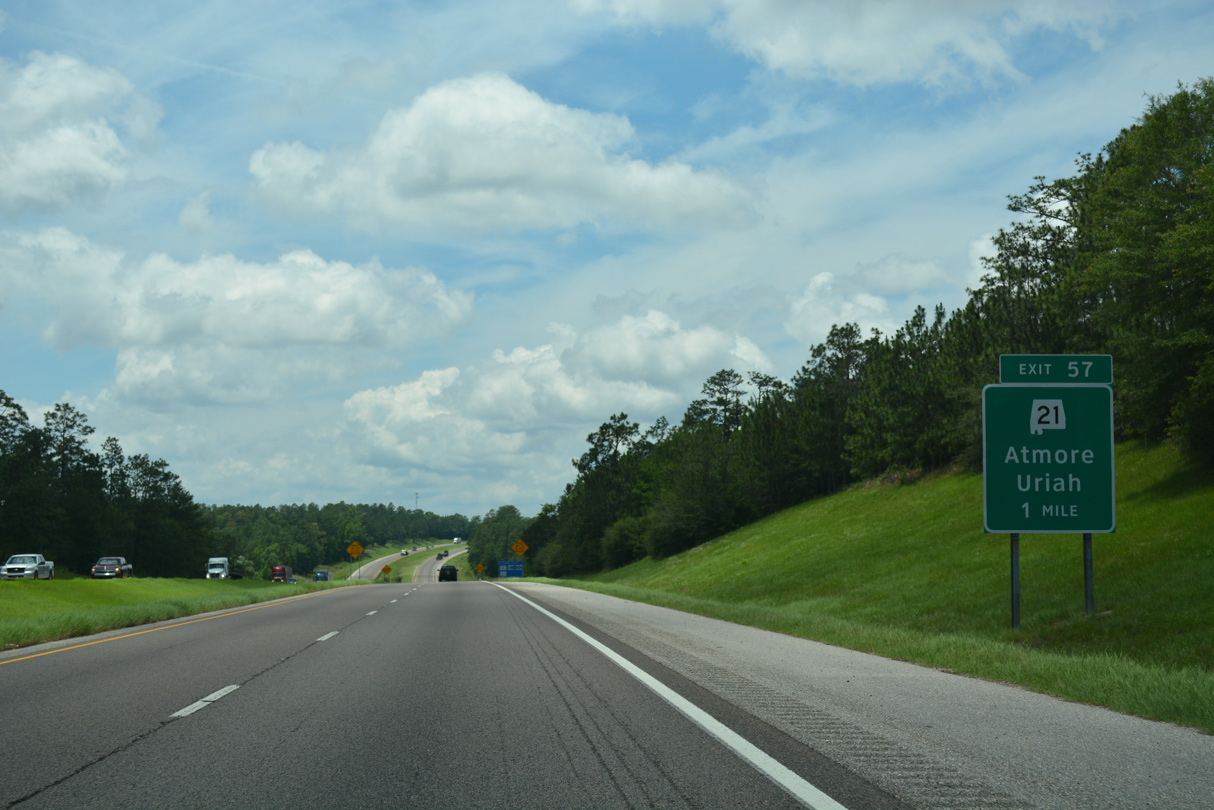
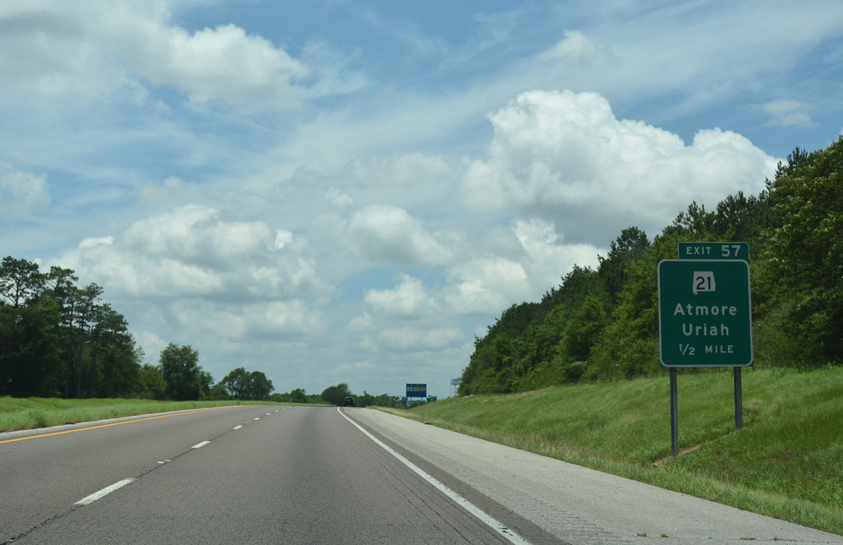
SR 21 and Interstate 65 meet at a diamond interchange (Exit 57) west of Wet Weather Creek near Martinsville.
06/07/17
SR 21 travels 278 miles northward from Florida State Road 97 near Atmore to Piedmont in northeastern Alabama. SR 97 continues the route 24 miles south to U.S. 29 near Molino.
06/07/17
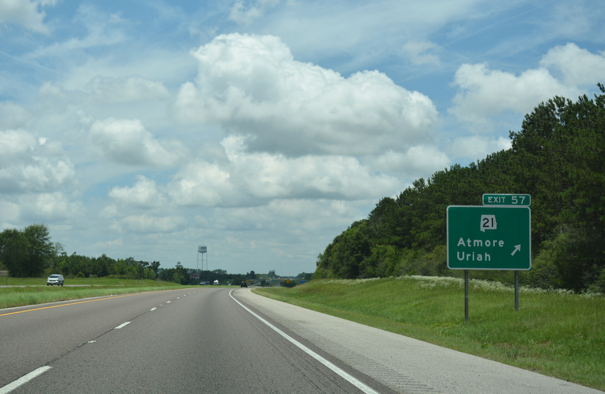
SR 21 is a four lane highway leading south six miles to U.S. 31 in Atmore. The community of Uriah lies 13 miles to the north at the end of SR 59. SR 21 continues from Uriah to Frisco City and Monroeville.
06/07/17
Confirming shield posted between SR 21 and CR 14. County Route 14 angles northwest from SR 21 near Martinsville to Poarch.
06/07/17
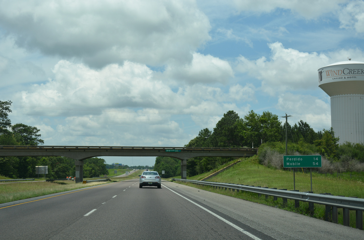
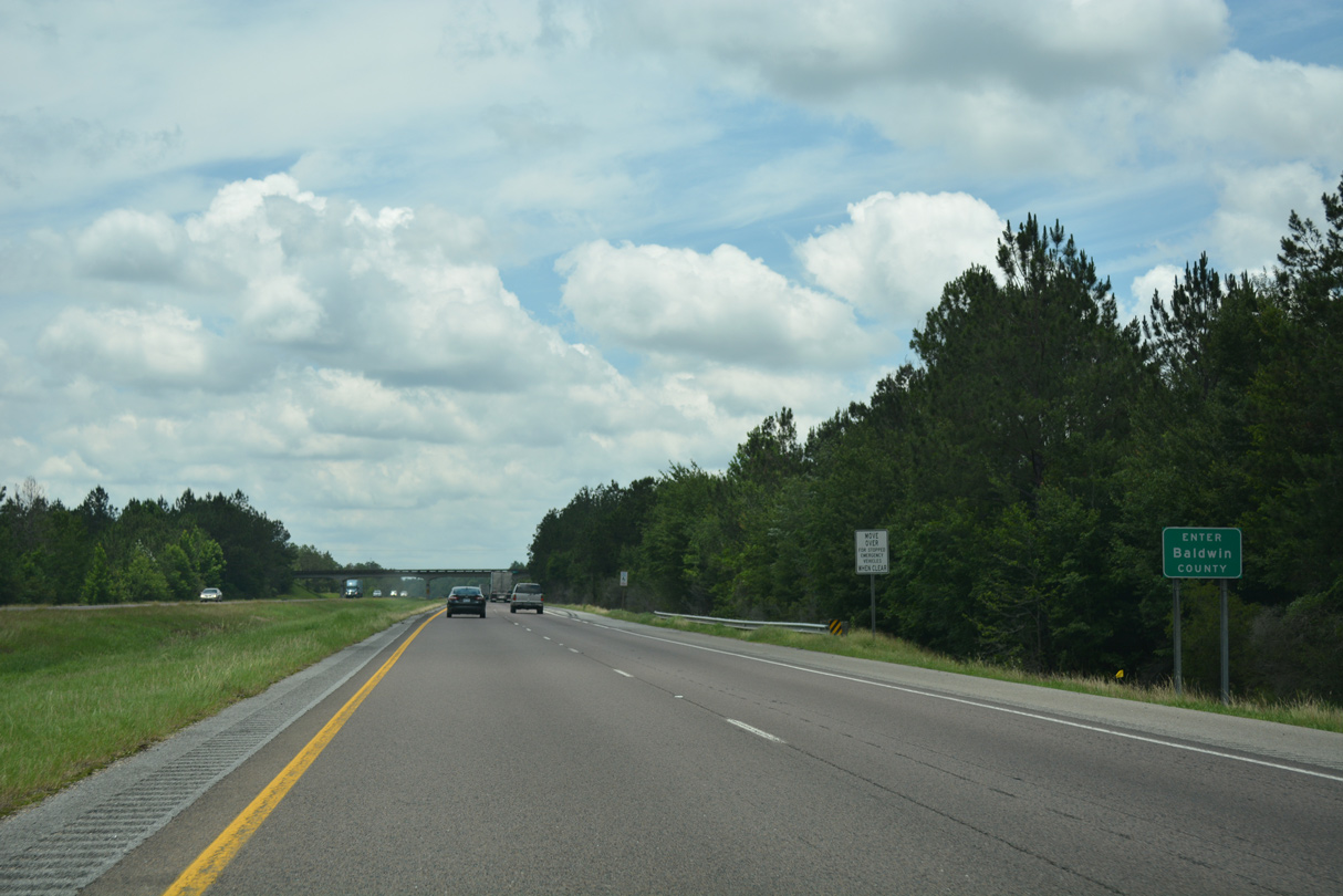
The unincorporated community of Perdido lies 14 miles to the southwest in Baldwin County. 57 miles of Interstate 65 remain into Mobile.
06/07/17
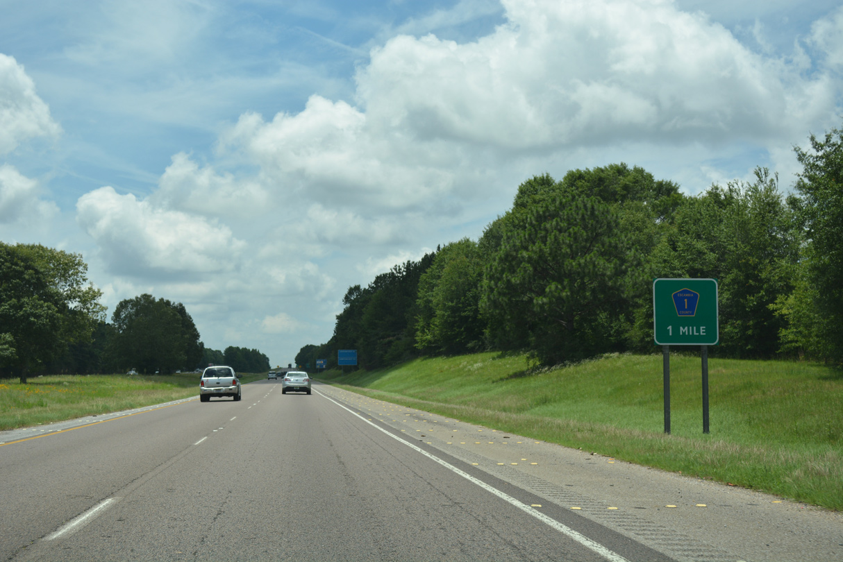
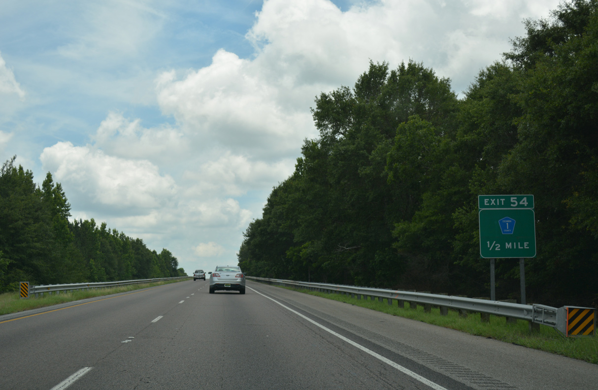
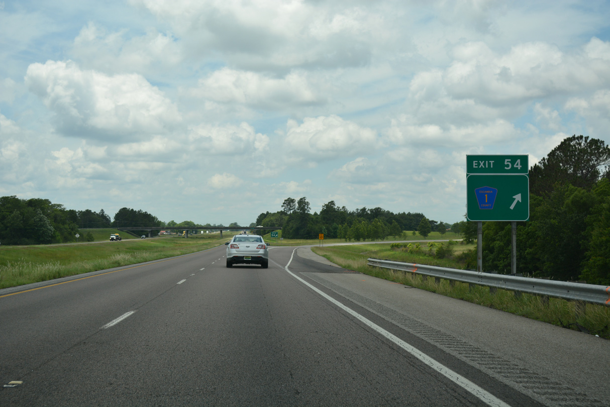
Escambia County Route 1 (Jack Springs Road) connects Interstate 65 with Freemanville and the Poarch Creek Indian Reservation at Exit 54.
06/07/17
CR 1 (Jack Springs Road) leads south from the diamond interchange at Exit 54 to Atmore and SR 21, and northwest to Jack Springs and Boonevile.
06/07/17
CR 1 (Jack Springs Road) north to CR 47 (Three Mile Road) west leads to Redtown in Baldwin County. Southward CR 1 transitions to Howard Street in Atmore.
06/07/17
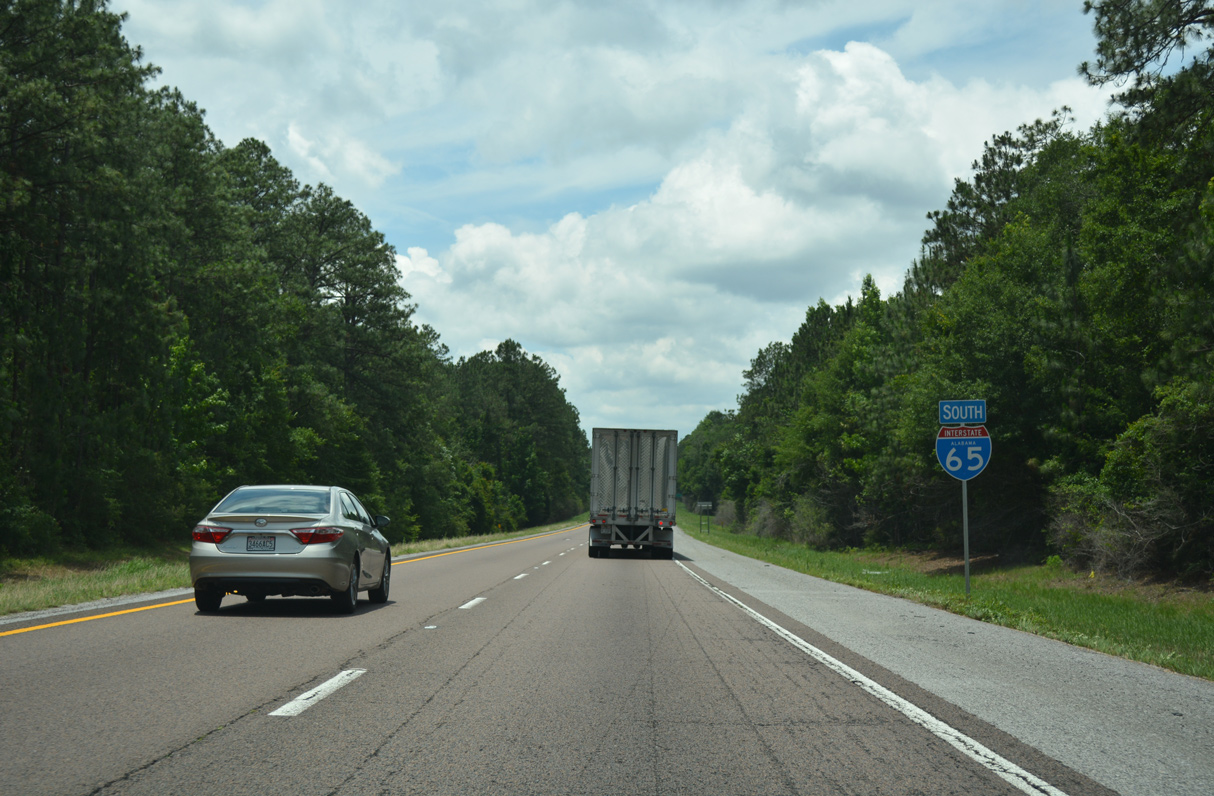
Southwest from CR 1, Interstate 65 undulates through timberland, crossing Perdido, Fletcher and Hurricane Creeks to the Baldwin County line.
06/07/17
Interstate 65 angles through northern Baldwin County from the Perdido area to Stockton.
06/07/17

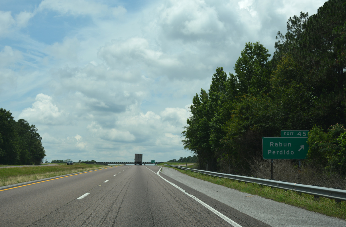
The first of four diamond interchanges in Baldwin County joins I-65 with CR 47 between Perdido and Rabun.
06/07/17

CR 47 stems west from U.S. 31 near the Escambia County line to CR 61 in Perdido. CR 47 arcs westward from there, meeting another branch of CR 47 (Jack Springs Road) at Rabun.
06/07/17
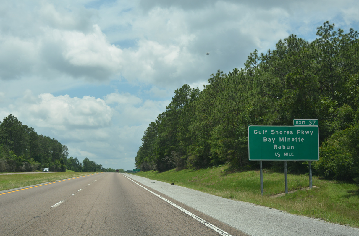
West from Exit 45 and CR 47, CR 96 and CR 94 link with SR 59 near Stockton and Vaughn. CR 47 converges with I-65 again via Rabun Road southwest to SR 287 at Exit 37.
06/07/17
Interstate 65 travels around 200 feet above sea level near Perdido in northern Baldwin County.
06/07/17
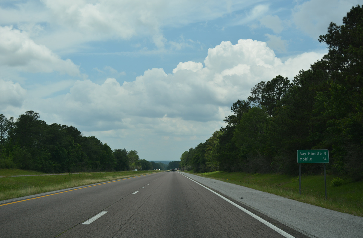
The succeeding two exits connect Interstate 65 with the Baldwin County seat of Bay Minette, located 13 miles to the south.
06/07/17
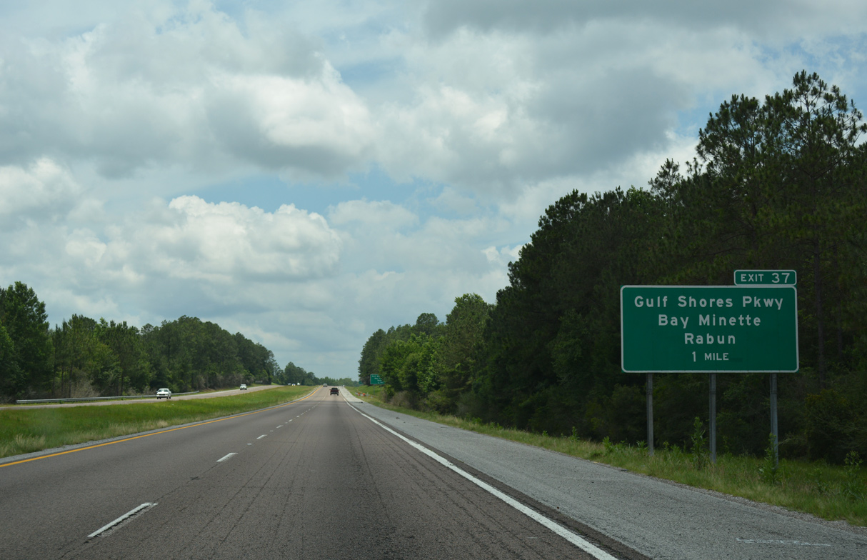
Although unmarked, SR 287 commences at the diamond interchange joining I-65 with Gulf Shores Parkway / Rabun Road at Exit 37. The state route travels 6.25 miles south to U.S. 31 at Downtown Bay Minette.
06/07/17
Gulf Shores Parkway overlays SR 287 from I-65, and SR 59 from Bay Minette along the four lane corridor south to Gulf Shores on the Gulf of Mexico.
06/07/17
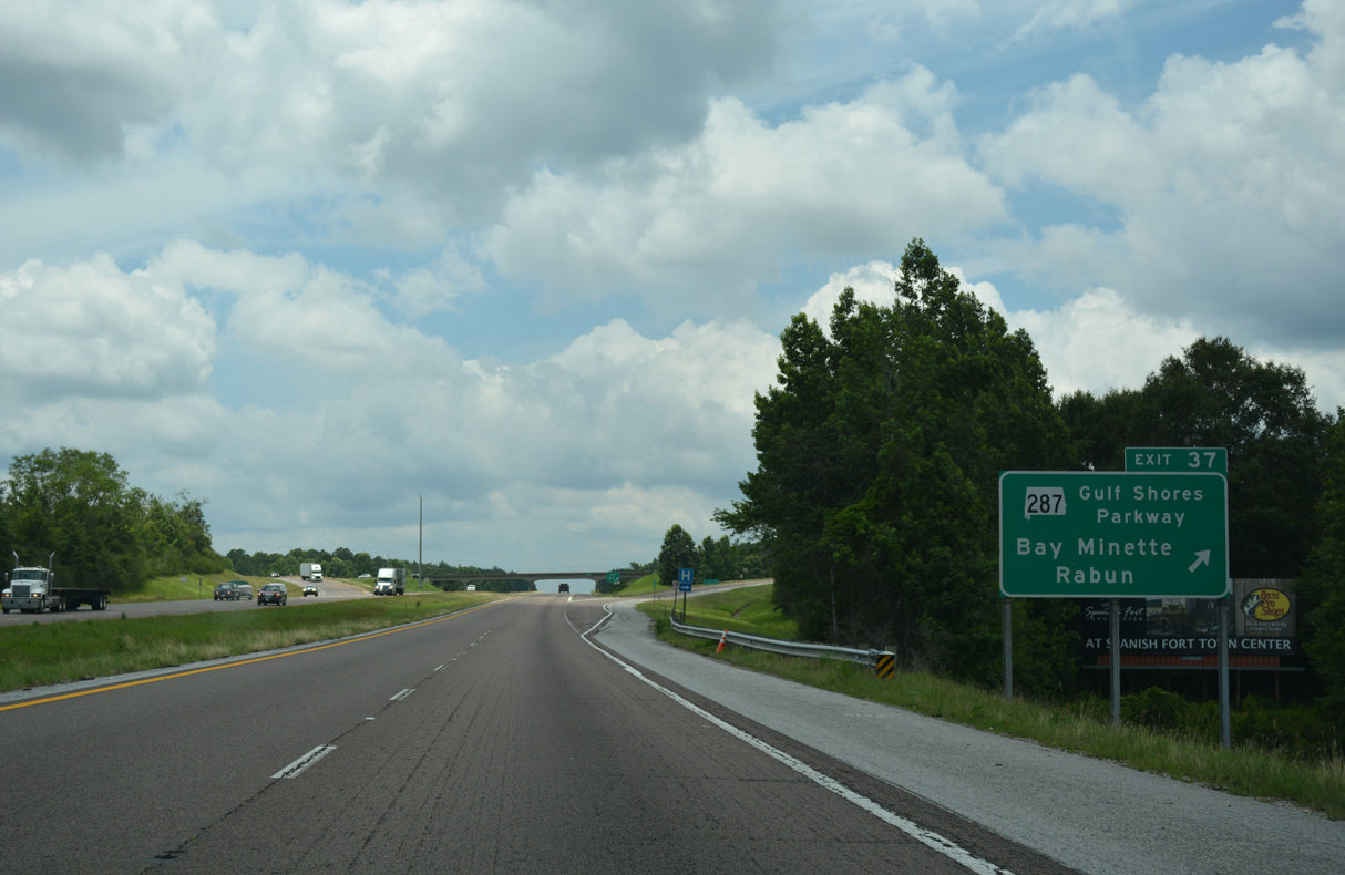
SR 287 extends 0.117 miles north of I-65 at CR 47 (Rabun Road). Gulf Shores Parkway runs 58.7 miles south from Exit 37 to SR 182 in Gulf Shores.
06/07/17
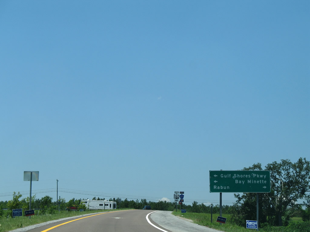
Rabun lies 4.8 miles to the northeast from SR 287 and I-65 along County Route 47 (Rabun Road).
06/05/06
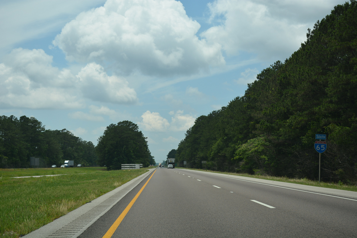
Passing well north of Bay Minette, Interstate 65 continues 34 miles southwest to Mobile.
06/07/17
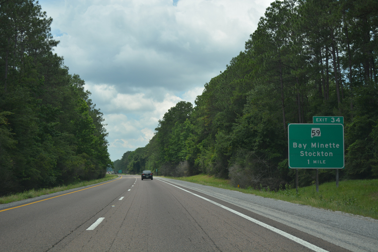
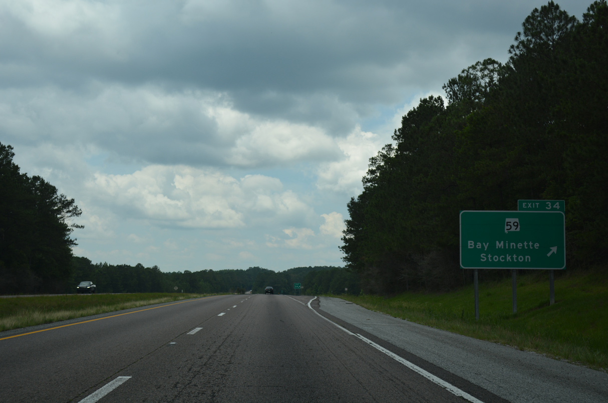
SR 59 crosses paths with Interstate 65 at a diamond interchange (Exit 34) located midway between Bay Minette and SR 225 at Stockton.
06/07/17
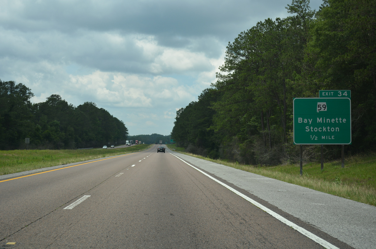
A 94.1 mile long highway, SR 59 originates at SR 182 in Gulf Shores concludes at SR 21 in Uriah. The northernmost stretch of roadway undulates through pine forest and sparsely populated areas. South from Loxley, SR 59 is a major arterial through Robertsdale, Summerdale and Foley.
06/07/17
SR 59 leads southeast from Exit 34 to SR 287 (McMeans Avenue) with two lanes, where it overtakes Gulf Shores Parkway. SR 59 bypasses the Bay Minette street grid to the west, combining with U.S. 31 southward to Stapleton.
06/07/17
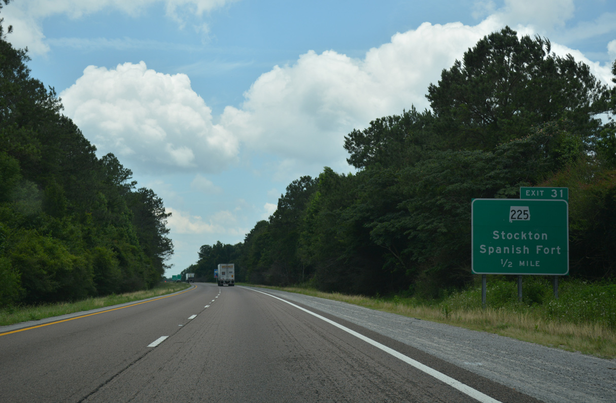
Progressing west along Interstate 65 toward the Mobile River Delta. Just out of view is parallel CR 21 (Live Oak Road). The county road connects SR 59 with SR 225 north of Exit 31.
06/07/17
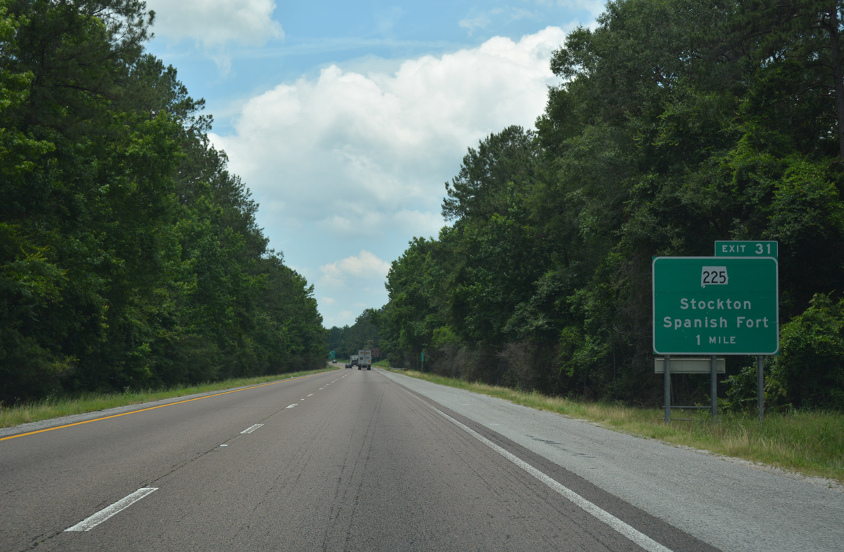
SR 225 travels 20.42 miles north from U.S. 31 at Spanish Fort to Interstate 65 at Exit 31.
06/07/17
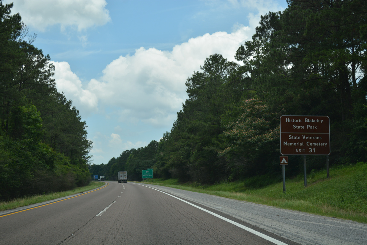
SR 225 leads south to Crossroads and Historic Fort Blakeley State Park, one of the last battlefields fought in the Civil War.
06/07/17
Located at the north end of SR 225, Stockton is rich in history as both a Civil War village and former international border town. When Spain owned Florida, its boundary extended westward along the 31st parallel. This boundary was marked by the Ellicott Stone at Stockton in 1799. The stone is named for Major Andrew Ellicott, the surveyor of the border appointed by President George Washington.
06/07/17
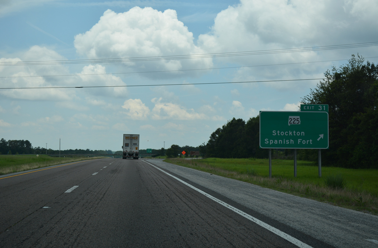
Entering the diamond interchange (Exit 31) with SR 225 on I-65 south.
06/07/17
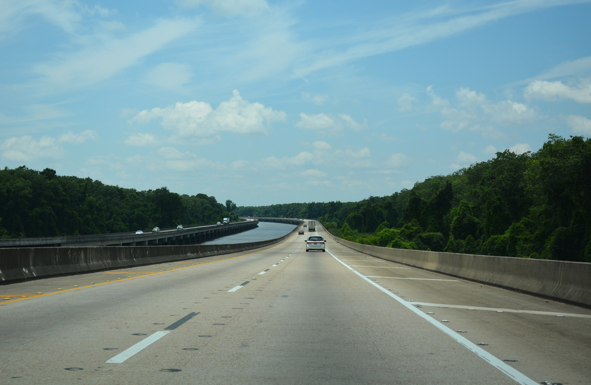
Interstate 65 crosses the Mobile-Tensaw River Delta over the succeeding nine mile stretch to Creola.
06/07/17
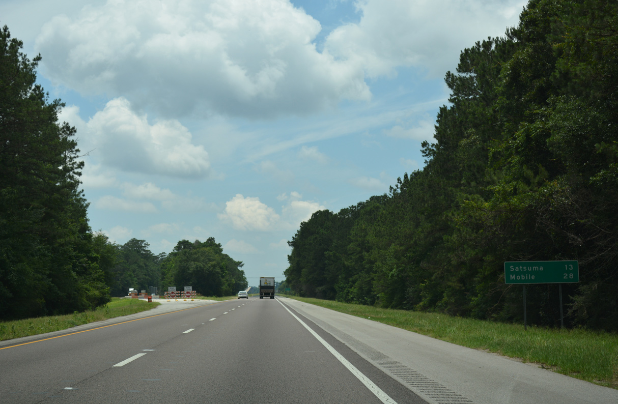
Representing the northern outskirts of the Mobile area, the city of Satsuma lies 13 miles to the southwest along Interstate 65.
06/07/17
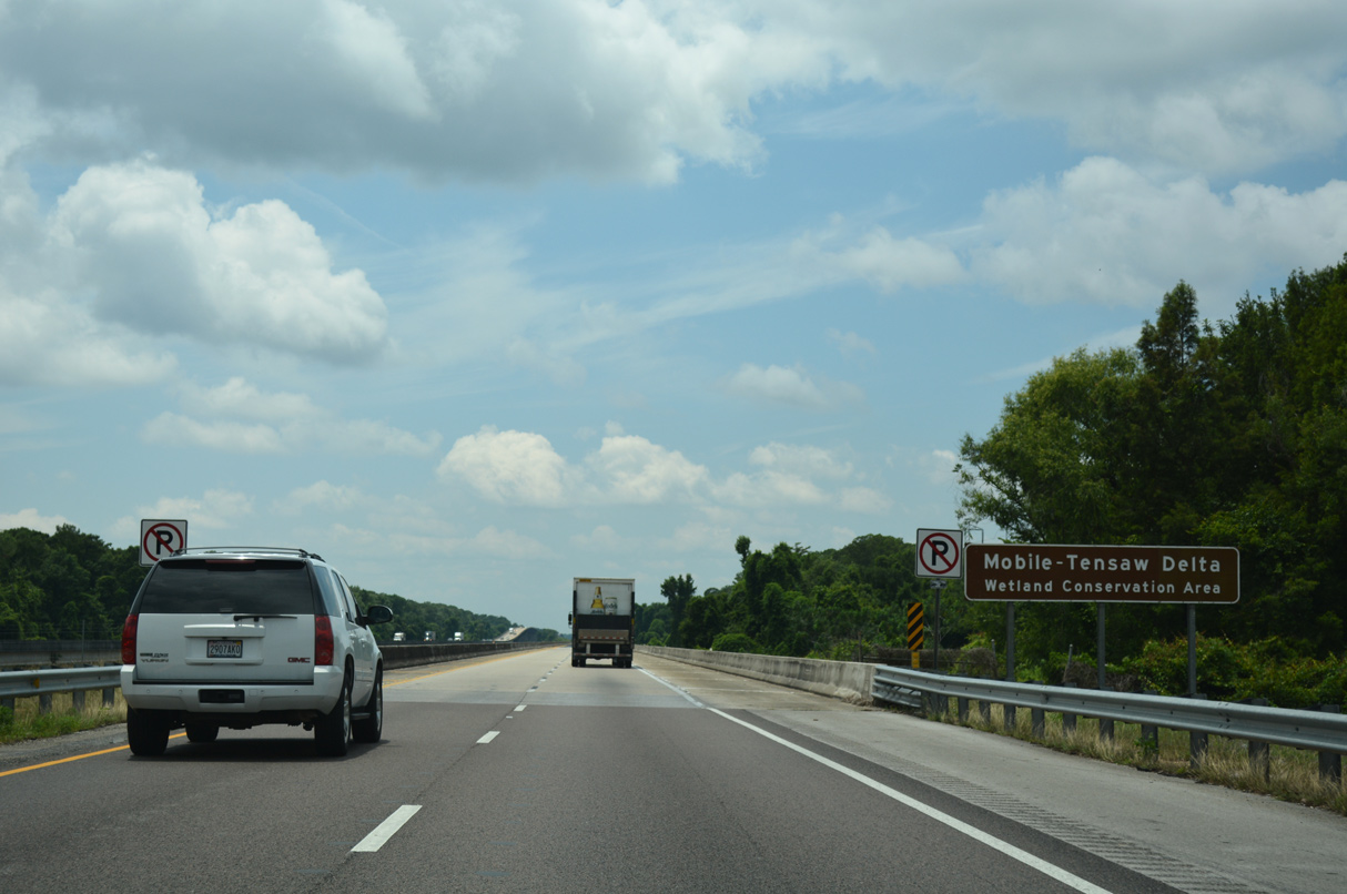
The Mobile-Tensaw Delta Wetland Conservation Area surrounds the Mobile and Tensaw Rivers along I-65. This zone includes the W.L. Holland Wildlife Management Area (WMA) and the Mobile-Tensaw Delta WMA.
06/07/17
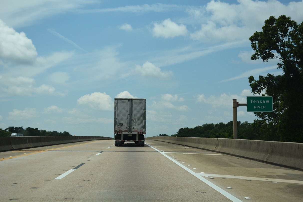
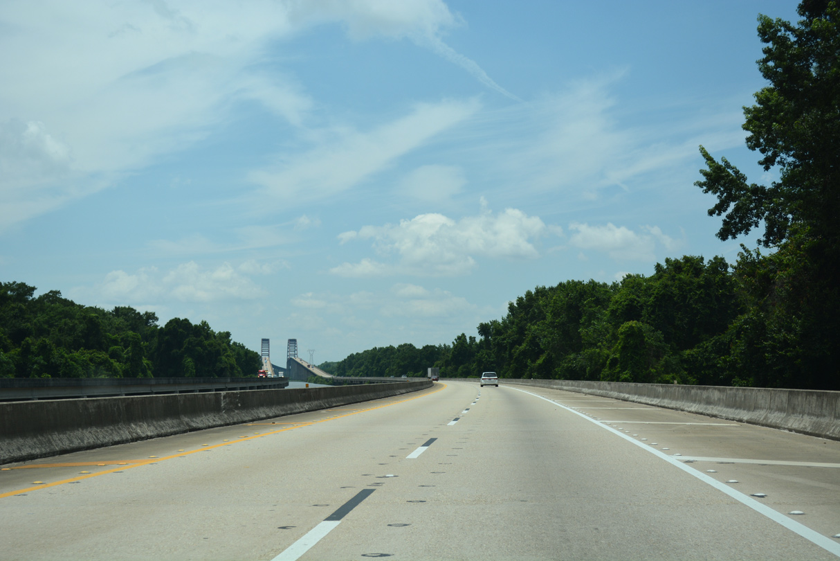
The first hump along the bridges taking I-65 across the Mobile-Tensaw River Delta spans the Tensaw River. The Tensaw is the first of three navigable rivers between Mobile and Baldwin Counties.
06/07/17
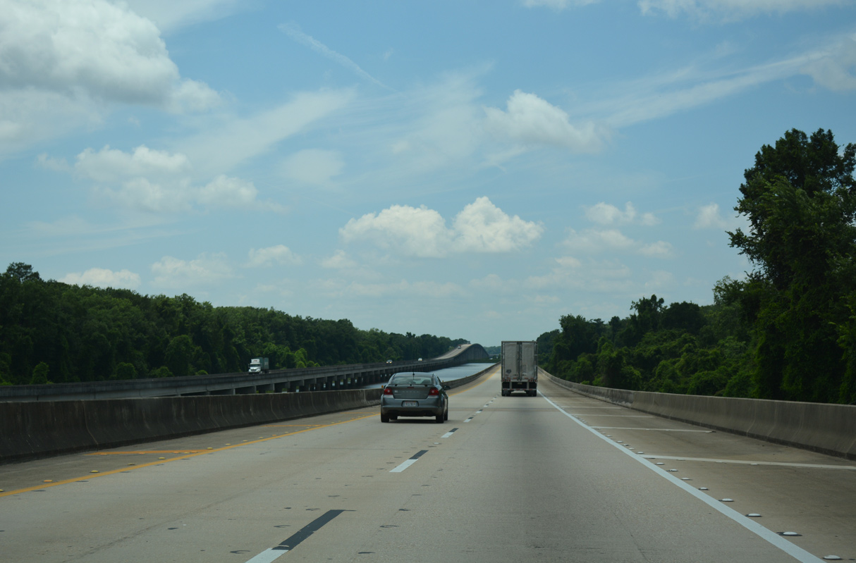
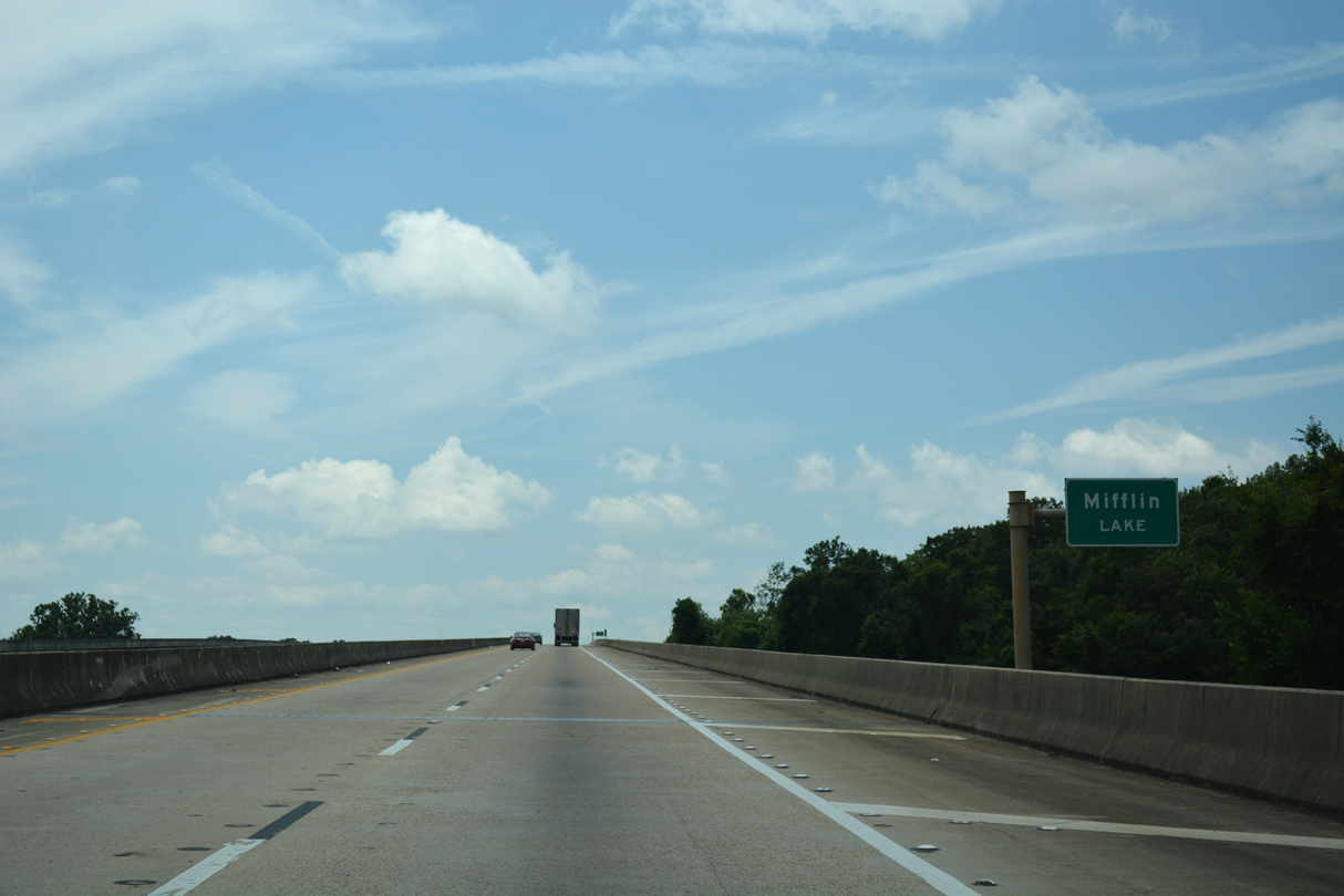
Interstate 65 rises across both Mifflin Lake and the Middle River.
06/07/17
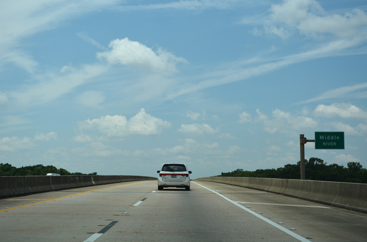
Doubling as the county line north from Little Lizard Creek to the Tensaw River, the Middle River separates wetlands along the Mobile River from Mound Island.
06/07/17
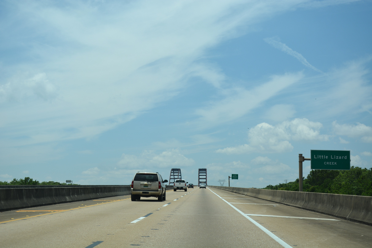
Interstate 65 bends southward between The Basin and parallel Little Lizard Creek.
06/07/17
The 12 mile section of Interstate 65 between SR 225 near Stockton and Creola opened to traffic on October 2, 1981. This was the last stretch of I-65 constructed south of Birmingham.
06/07/17
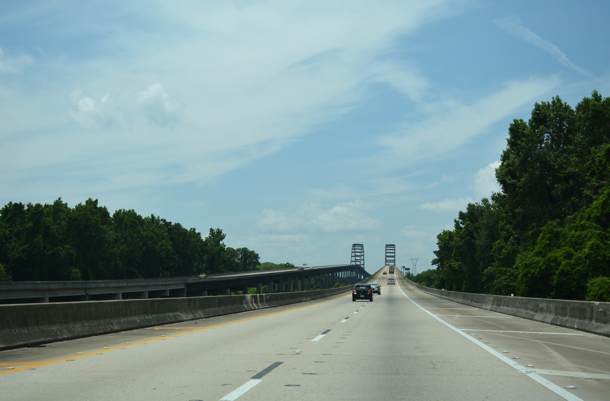
The tied-arch bridges over the Mobile River are officially the General W.K. Wilson, Jr. Bridge. Locals refer to high rise spans as the "Dolly Parton" Bridges.
06/07/17
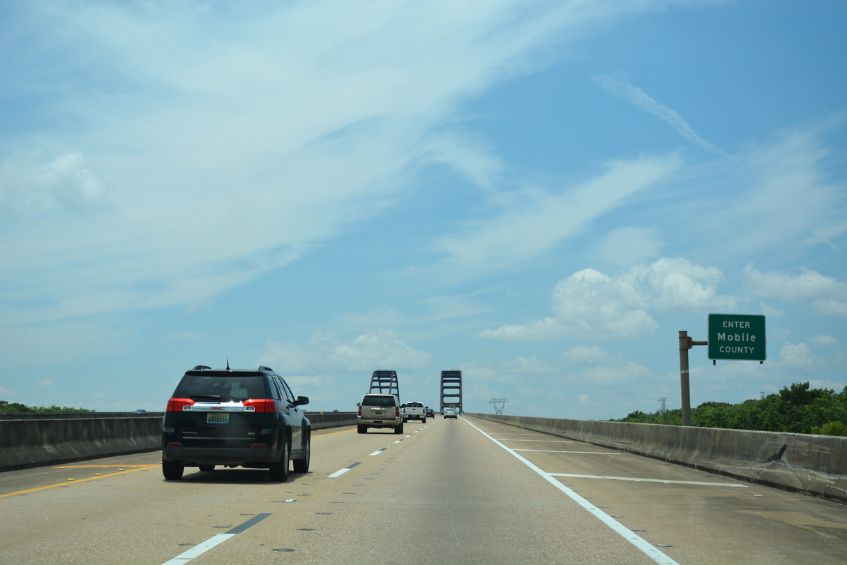
Climbing on the General W.K. Wilson, Jr. Bridge southbound, I-65 crosses Little Lizard Creek, the boundary between Baldwin and Mobile Counties. The county line follows the creek from the Mobile River east to the Tensaw River.
06/07/17

References:
- "Widened Highway 113 Opens Joint Alabama And Florida Project." NorthEscambia.com, November 13, 2008.
Photo Credits:
- Alex Nitzman: 06/05/06, 10/09/16, 06/07/17
Connect with:
Page Updated Friday November 20, 2020.