
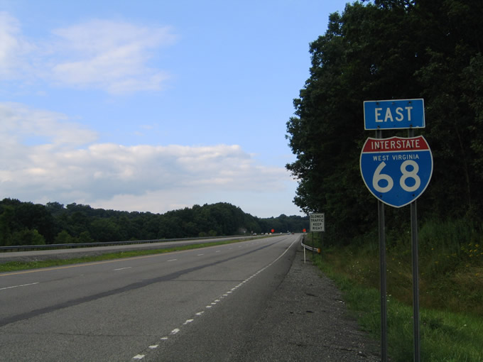
Interstate 68 East
 East
East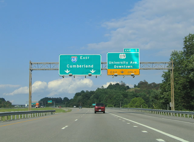
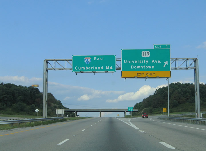
Nearing the first of three interchanges for the city of Morgantown along I-68 east. U.S. 119 (Grafton Road / University Avenue) crosses paths with the freeway next, traveling 20 miles south from Exit 1 to Grafton.
08/07/04
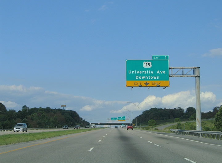
The right lane becomes exit-only for the Exit 1 folded diamond interchange with U.S. 119 (University Avenue). University Avenue carries U.S. 119 north 3.6 miles into downtown Morgantown where the highway intersects U.S. 19 (Pleasant Street).
08/07/04
Traffic to U.S. 119 (University Avenue & Grafton Road) leaves Interstate 68 eastbound at Exit 1. U.S. 119 follows University Avenue north to Pleasant Street (U.S. 19). In downtown Morgantown, U.S. 119 turns northeast toward Morgantown Municipal Airport and Easton before departing the state for Point Marion, Pennsylvania.
08/07/04
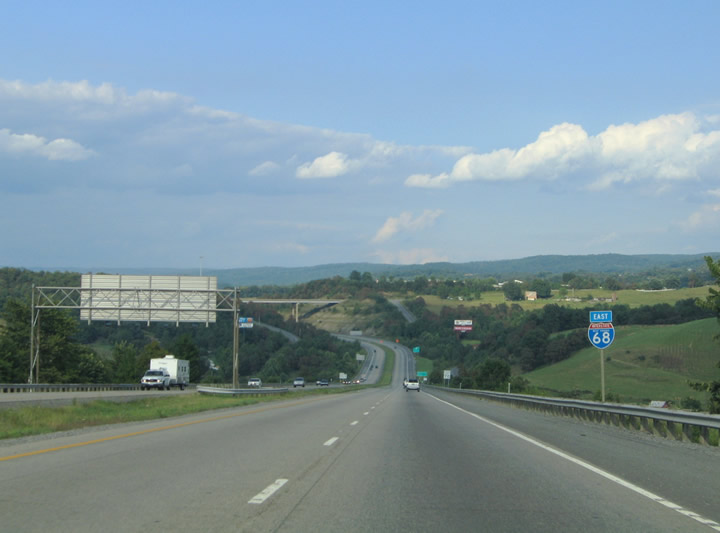
Descending from U.S. 119 eastward toward the Kingwood Pike over crossing south of Morgantown. The first eastbound reassurance shield lies east of Exit 1 and to the south is the parallel Cobun Creek Road. Cobun Creek Road ends at Kingwood Pike just south of Interstate 68.
08/07/04
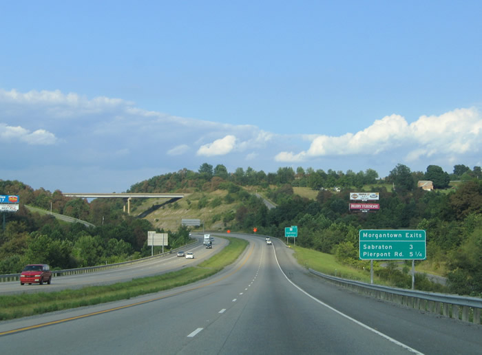
Continuing eastward along Interstate 68 toward the Kingwood Pike over crossing. A Morgantown exits guide sign indicates the distances to the next two interchanges along the freeway. These types of upcoming exit signs are common within West Virginia urban areas.
08/07/04
WV 7 (Rogers Avenue) converges with I-68 at a folded diamond interchange (Exit 4) in southeast Morgantown, 2.4 miles west of Pioneer Rocks.
08/07/04
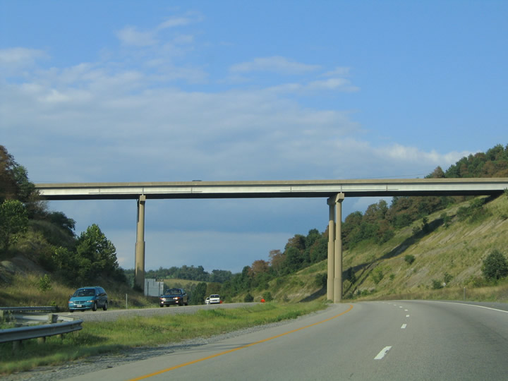
A look at the high-level overpass that carries Kingwood Pike over Interstate 68. Kingwood Pike stems 1.5 miles south from the intersection of Dorsey Avenue & Greenbag Avenue to Cobun Creek Road near the freeway.
08/07/04
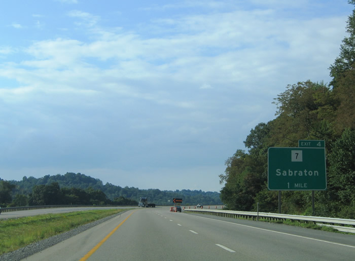
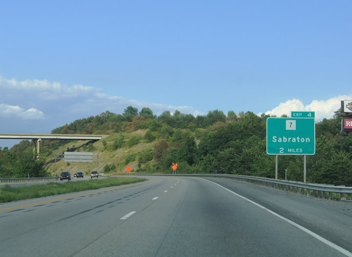
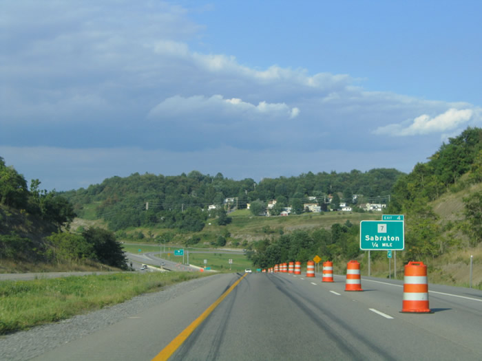
Eastbound at the one mile guide sign for WV 7 (Rogers Avenue) on Interstate 68 eastbound. WV 7 follows Rogers Avenue northwest from Exit 4 one mile to the Sabratan community of east Morgantown.
08/07/04
Interstate 68 curves northeasterly toward the Exit 4 interchange with WV 7 (Rogers Avenue). WV 7 crosses the northern reaches of the Mountain State between New Martinsville along the Ohio River to Hopemont at the Maryland state line.
08/07/04
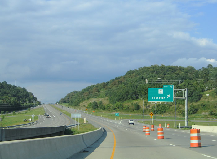
Exit 4 loops onto Route 7 (Rogers Avenue) from I-68 east. Route 7 leaves Morgantown for a 21 mile drive to the Preston County seat of Kingwood at Route 26. The state route continues east from there 11 miles to MD 39 near Oakland, Maryland.
08/07/04
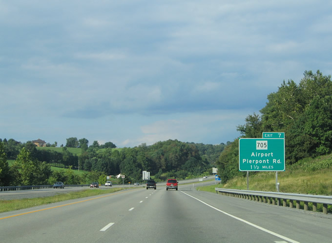
The next interchange for Interstate 68 eastbound travelers exists at WV 705 (Pierpont Road). Pierpont Road comprises a four lane divided highway between Exit 10 and U.S. 119 (Ice's Ferry Road) northeast of Morgantown.
08/07/04
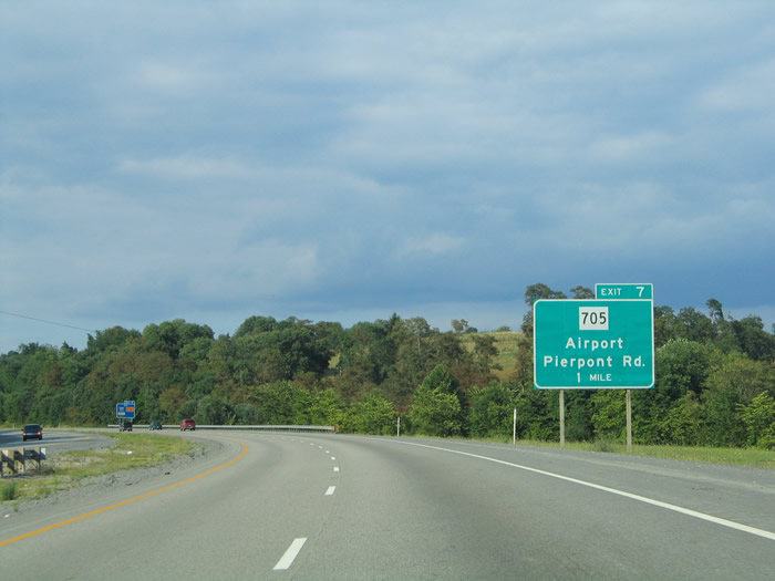
Interstate 68 eastbound at the one mile guide sign for the Exit 7 diamond interchange with Pierpont Road. WV 705 provides the main route to Morgantown Municipal Airport from Interstate 68 at the community of Easton.
08/07/04
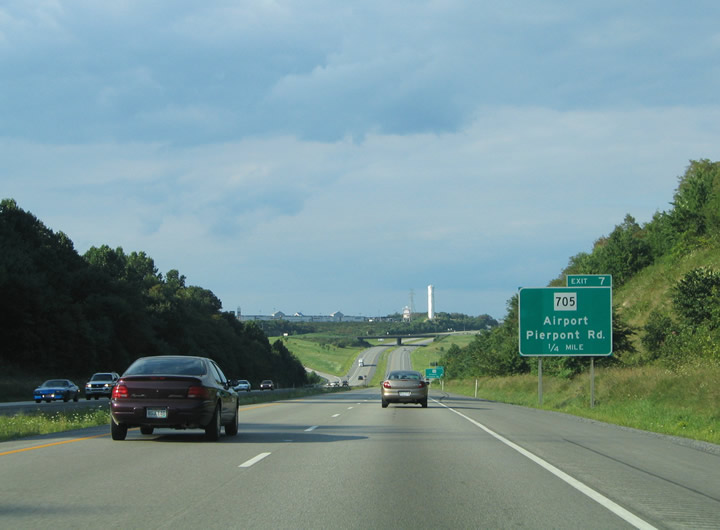
Nearing WV 705 (Pierpont Road) on Interstate 68 east. Pierpont Road travels 1.4 miles between U.S. 119 (Ice's Ferry Road) and CR 857. CR 857 continues Ice's Ferry Road east from Pierpont to the Ice's Ferry Bridge at Cheat Lake.
08/07/04
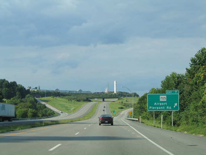
Eastbound at the Exit 7 ramp departure for WV 705 (Pierpont Road). Use Pierpont Road west to U.S. 119 north (Point Marion Road) for Point Marion, Pennsylvania eight miles to the north.
08/07/04
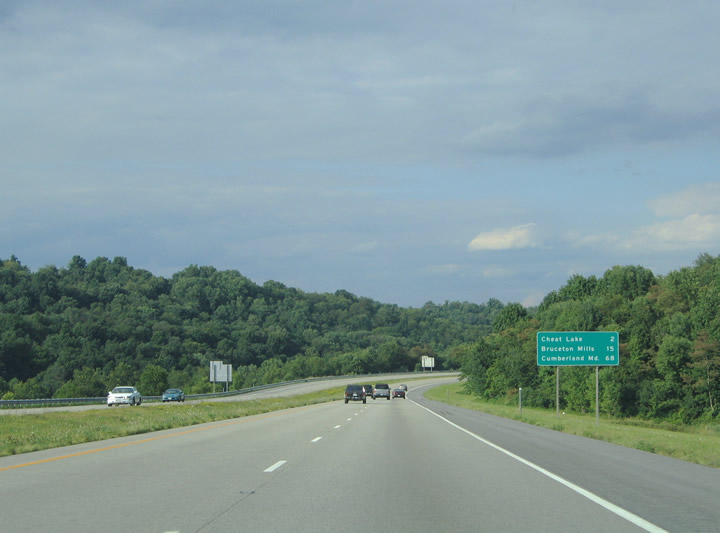
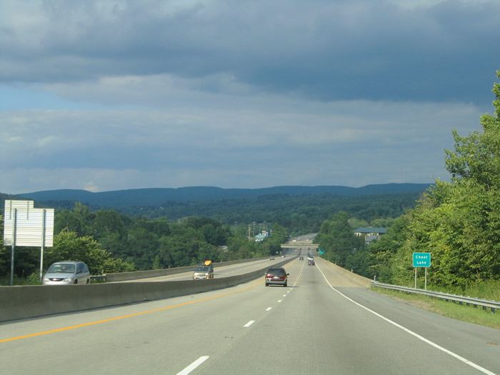
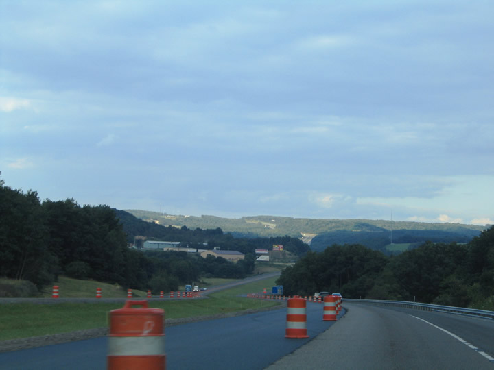
Interstate 68 leaves the greater Morgantown area for Cheat Lake and Preston County. A distance sign posted after Exit 7 highlights the distance to the final points of interest within the Mountain State (Cheat Lake and Bruceton Mills).
08/07/04
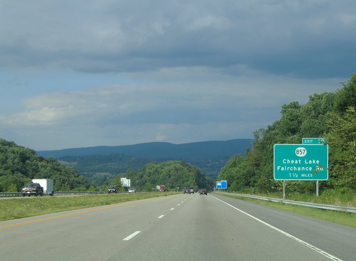
1.50 miles west of the diamond interchange (Exit 10) for CR 857 (Cheat Road) and Fairchance Road. CR 857 extends the numbering convention of PA 857 southward from Fayette County, Pennsylvania to Cheat Lake. The highway crosses the state line four miles to the north.
08/07/04
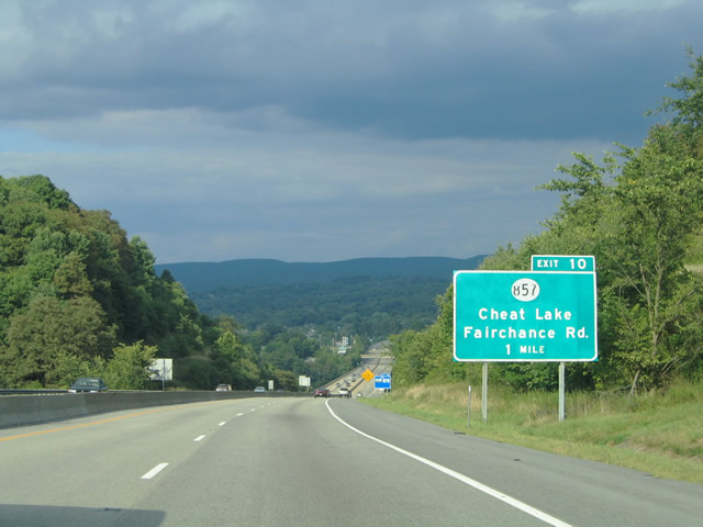
Interstate 68 eastbound at the one mile guide sign for Exit 10 and CR 857. CR 69 stems south from CR 857 to meet I-68. Cheat Road carries CR 857 west from Fairchance Road to Ice's Ferry Bridge over Cheat Lake.
08/07/04
Interstate 68 crosses over Cheat Lake via a four lane span ahead of CR 69. Cheat Lake is fed by the Cheat River to the south. The lake ties into the Monongahela River in Fayette County, Pennsylvania.
08/07/04

CR 857 (Ice's Ferry Road) and Lakeview Drive pass over Interstate 68 near the community of Sunset Beach east of Cheat Lake. CR 857 crosses the Ice's Ferry Bridge just south of the freeway and turns northeast along Cheat Road from the lakeside.
08/07/04
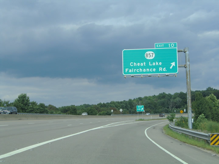
Exit 10 leaves Interstate 68 east for CR 69. CR 857 (Cheat Road) previously represented the connection between I-68 and Pennsylvania Turnpike 43 (Mon-Fayette Expressway). Since completed, the Mon-Fayette Expressway (WV 43) stems north four miles from Exit 10 to the toll road in Pennsylvania.
08/07/04
Interstate 68 enters Coopers Rock State Forest east of Cheat Lake. The state parkland encompasses the fives miles of freeway between mileposts 12 and 17.
08/07/04

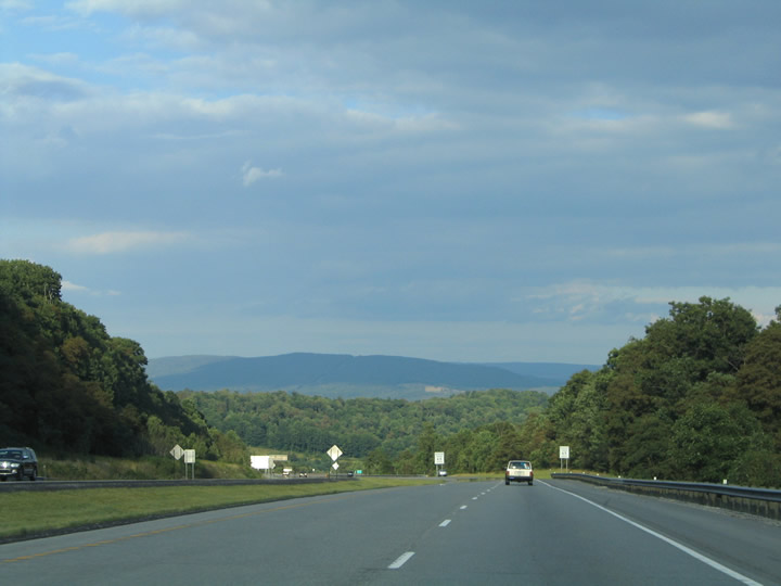
Two miles west of the diamond interchange (Exit 15) with CR 73/12. Interstate 68 crosses the Preston County line ahead of the succeeding exit.
08/07/04
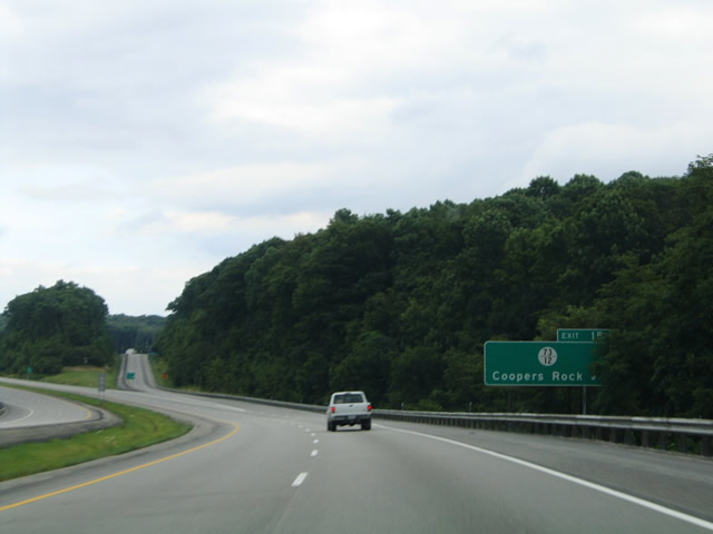
Exit 15 leaves I-68 east for CR 73/12. CR 73 parallels the freeway east from Coopers Rock State Forest to Laurel Run and Bruceton Mills.
08/07/04
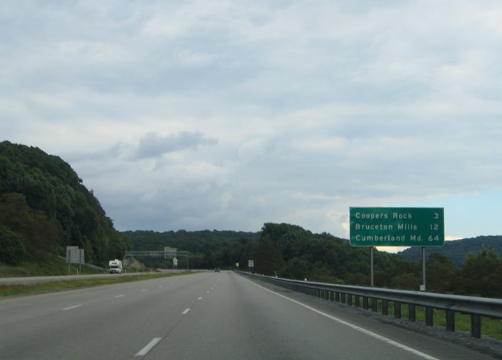
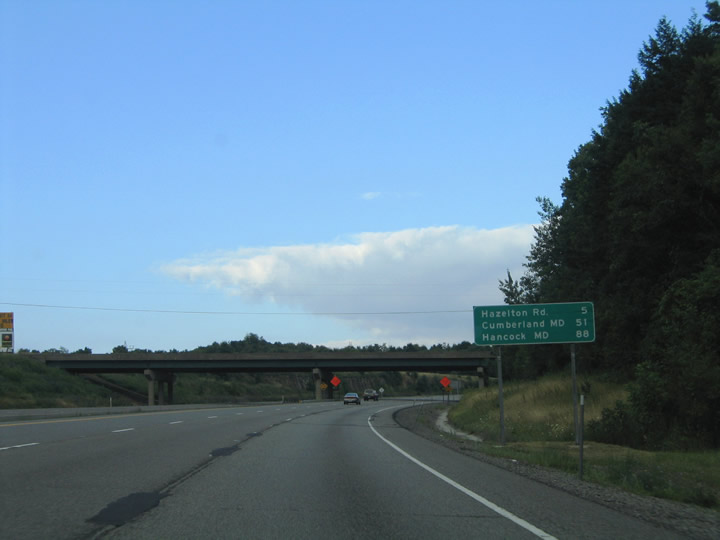
Pisgah Road stems south from CR 73 to the settlement of Pisgah and Laurel Run-Pisgah Road over Interstate 68 east of Exit 15. A distance sign posted near the over crossing lists the distance to the next exit (Bruceton Mills), Cumberland, Maryland, and Hancock (Interstate 70).
08/07/04
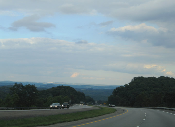
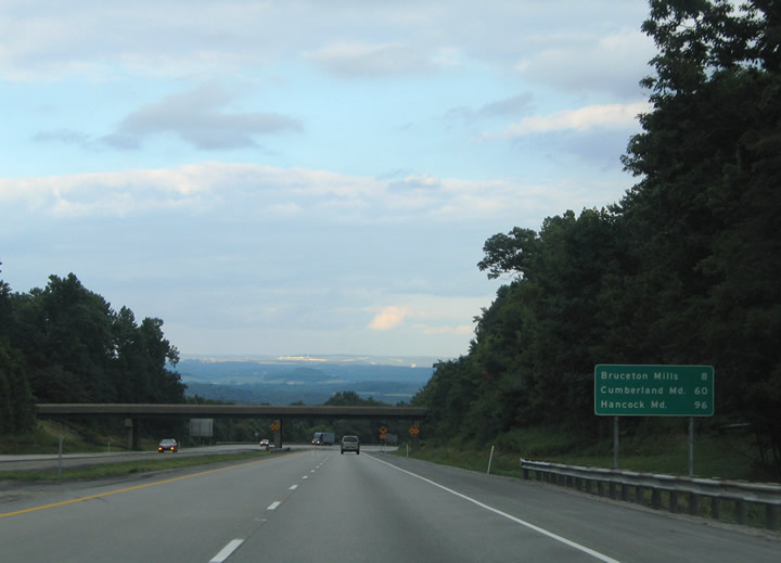
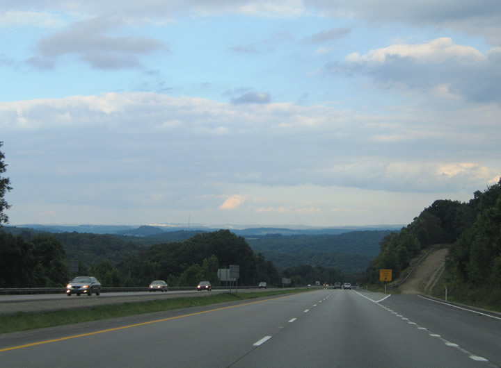
Descending from Coopers Rock State Forest toward Bruceton Mills and Brandonville. The grade of Interstate 68 is steep enough that a runaway truck ramp lies along the eastbound lanes midway between Exits 15 and 23.
08/07/04
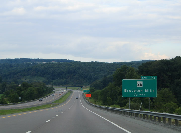
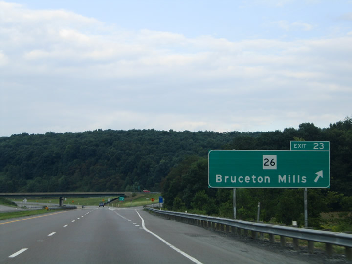
Interstate 68 eastbound at the diamond interchange (Exit 23) with WV 26. WV 26 becomes PA 281 (Bruceton Road) northeast of Bruceton Mills and Brandonville. The state route leads south from Exit 23 to Kingwood and its southern terminus at Fellowsville (U.S. 50).
08/07/04
Interstate 68 confirming marker posted after the entrance ramp from WV 26 at Bruceton Mills. Nine miles separate the freeway from the Maryland state line.
08/07/04
Eastbound distance sign situated ahead of the Brandonville Pike (CR 3) over crossing at Brandonville. The final Mountain State exit lies five miles ahead.
08/07/04
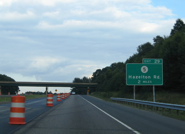
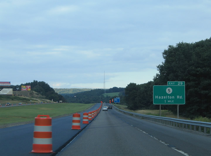
Exit 29 joins Interstate 68 with CR 5 (Hazelton Road) in northeastern Preston County. Hazelton Road derives its name from the nearby community of Hazelton.
08/07/04
Interstate 68 gradually sinks toward the Hazelton Road interchange at Exit 29. CR 5 travels 3.6 miles south from WV 26 at Glade Farms to Interstate 68.
08/07/04
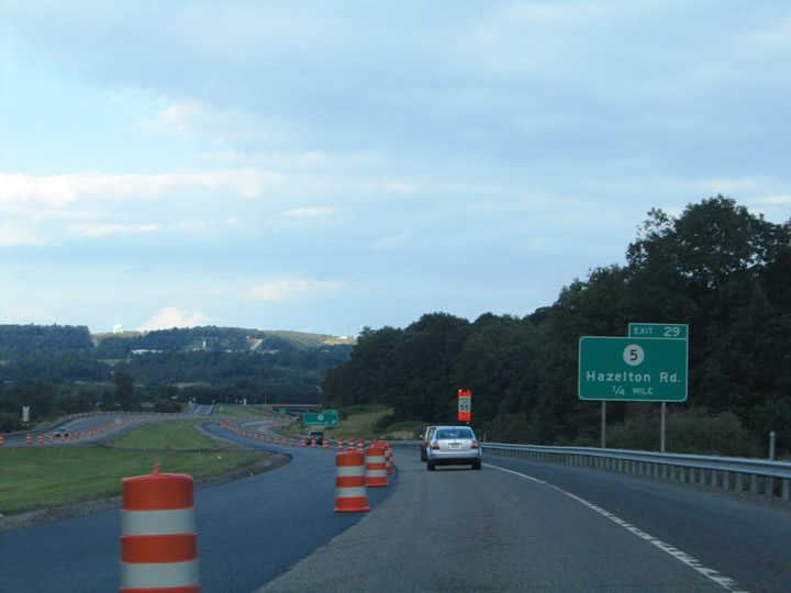
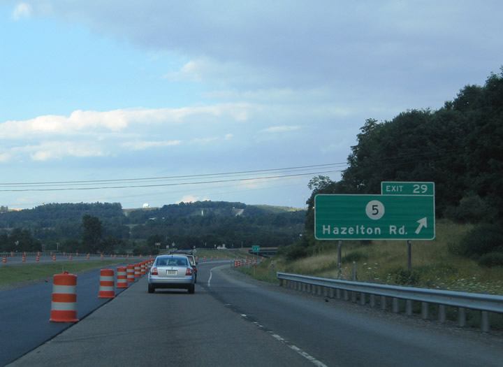
Eastbound at the diamond interchange (Exit 29) with CR 5 (Hazleton Road). Hazelton Road intersects Alaskan Boulevard south of Interstate 68 in Hazelton. CR 5 splits into two branches from there. The southwest branch serves the village of Cuzzart. The east branch (Alaskan Boulevard) travels to Cranesville and Terra Alta.
08/07/04
Interstate 68 travels the National Freeway into the high country of Western Maryland. The freeway crosses the state line near Sand Spring, Maryland.
08/07/04

Photo Credits:
- Alex Nitzman: 08/07/04
Connect with:
Page Updated Sunday July 31, 2005.