
Interstate 70 East - Palisade to Parachute
 East
East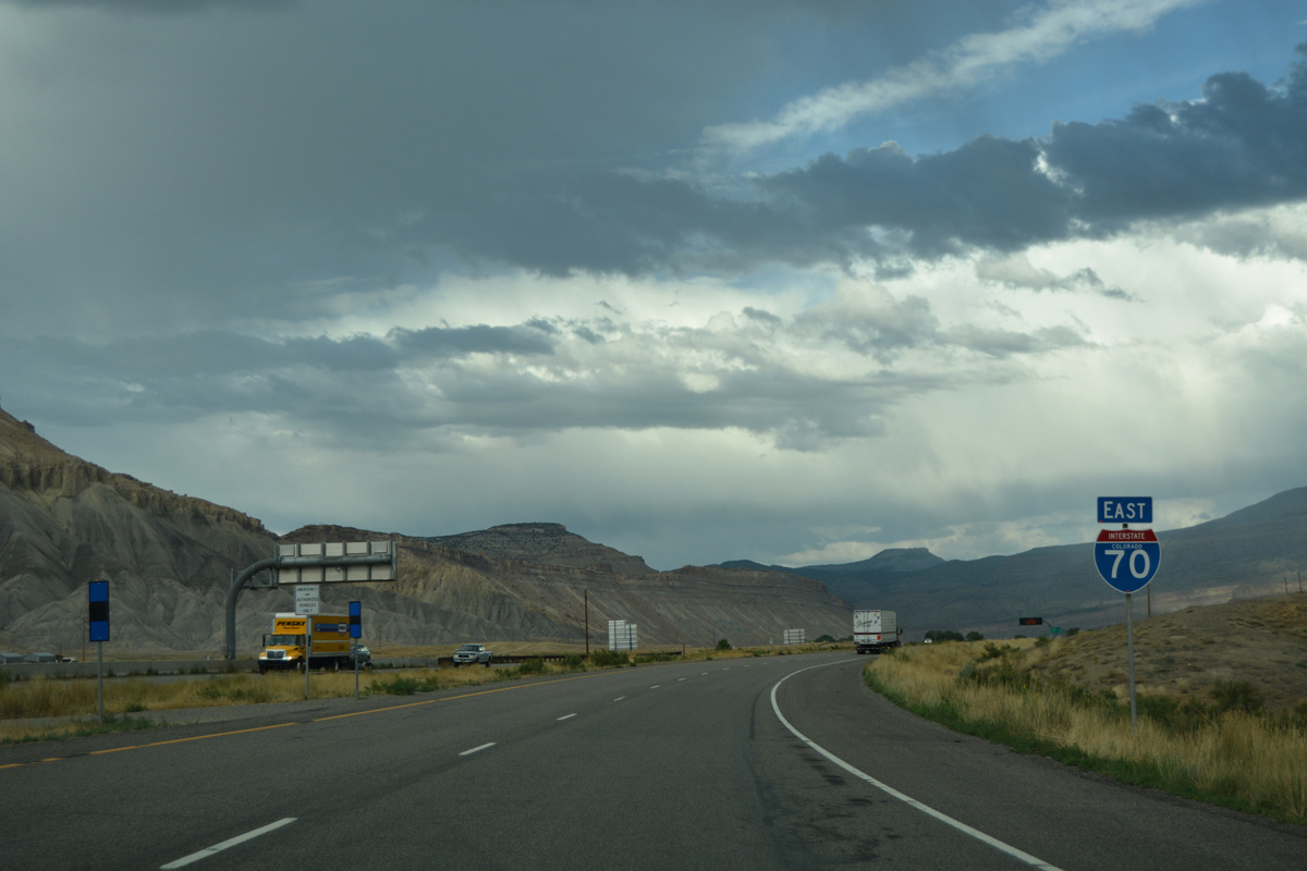
Confirming marker for Interstate 70 east posted beyond Business Loop I-70 at Moulton Valley.
08/10/16
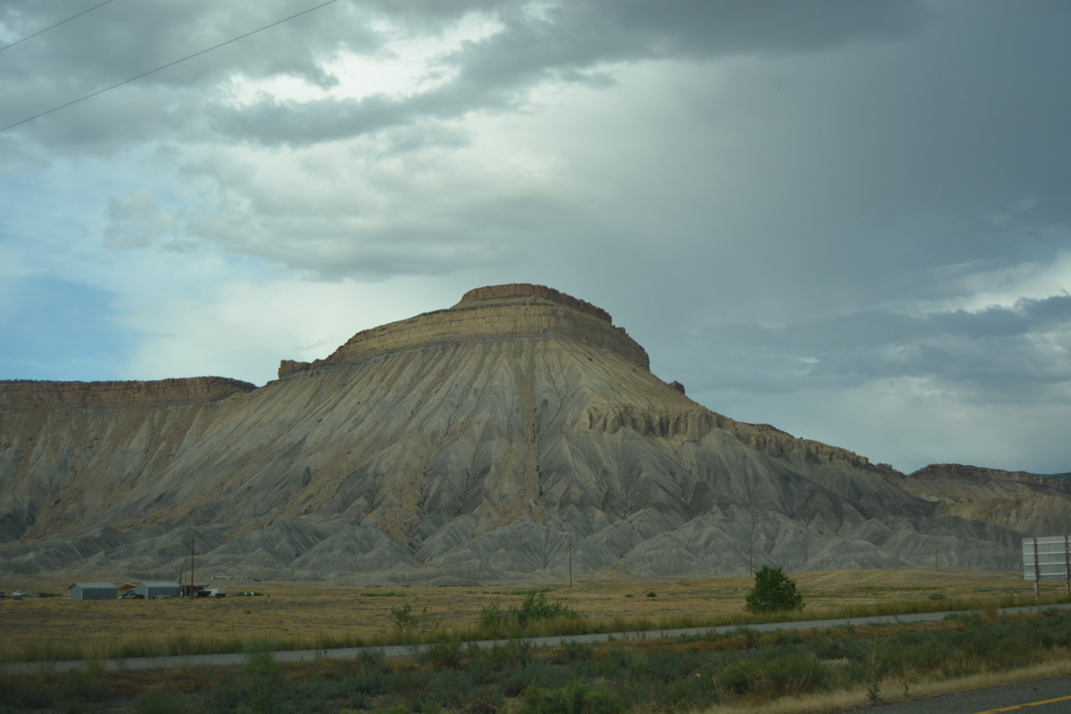
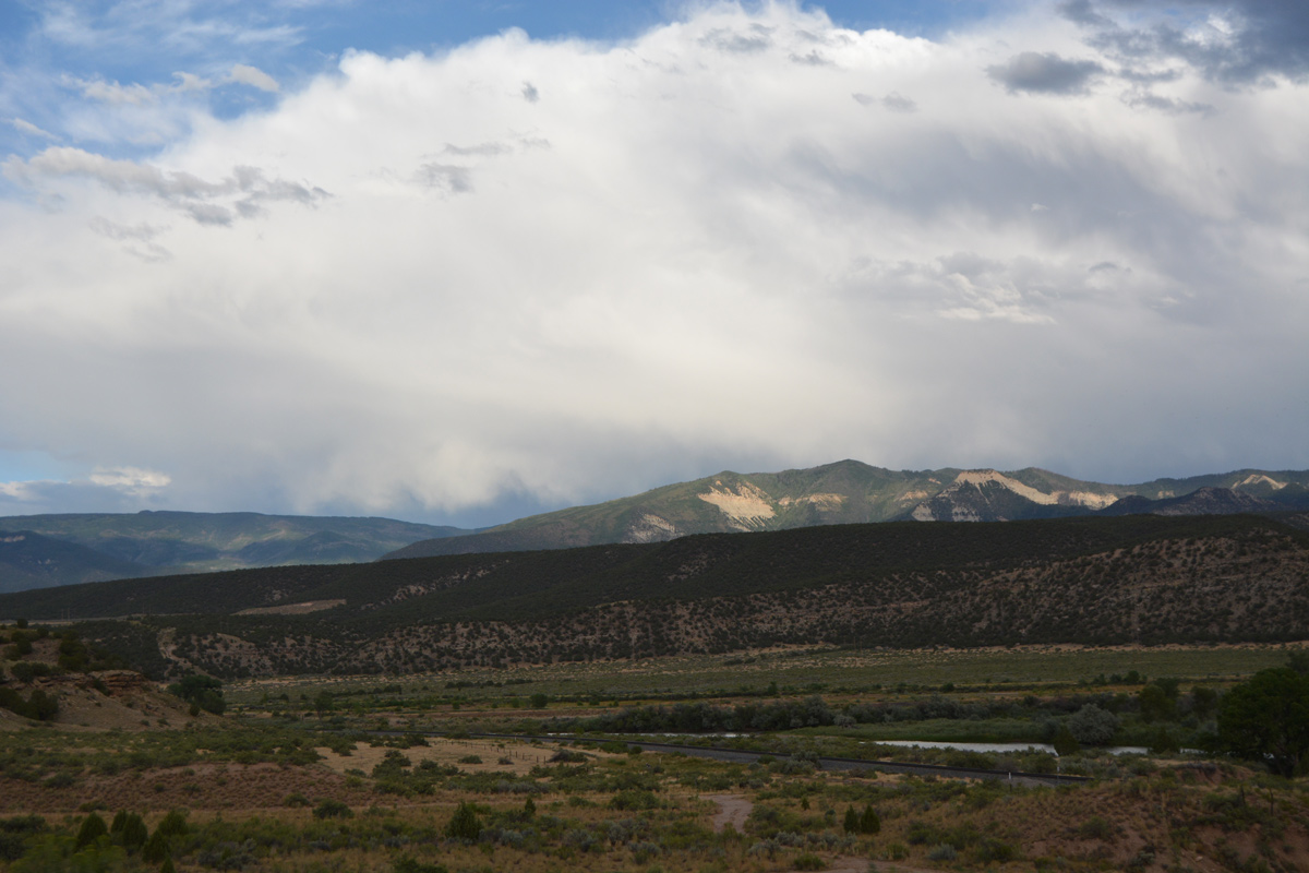
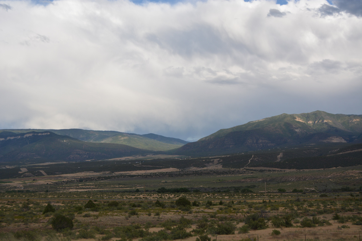
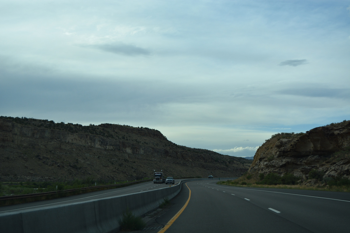
The freeway passes just south of the Mount Garfield summit. Agricultural areas spread to the south toward the Colorado River.
08/10/16
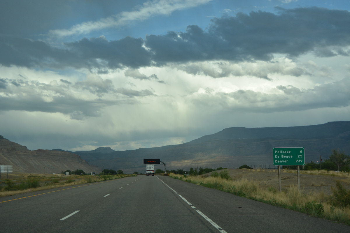
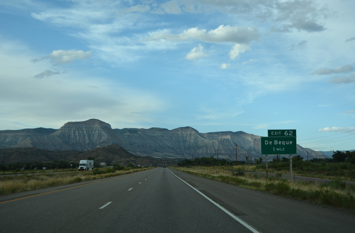
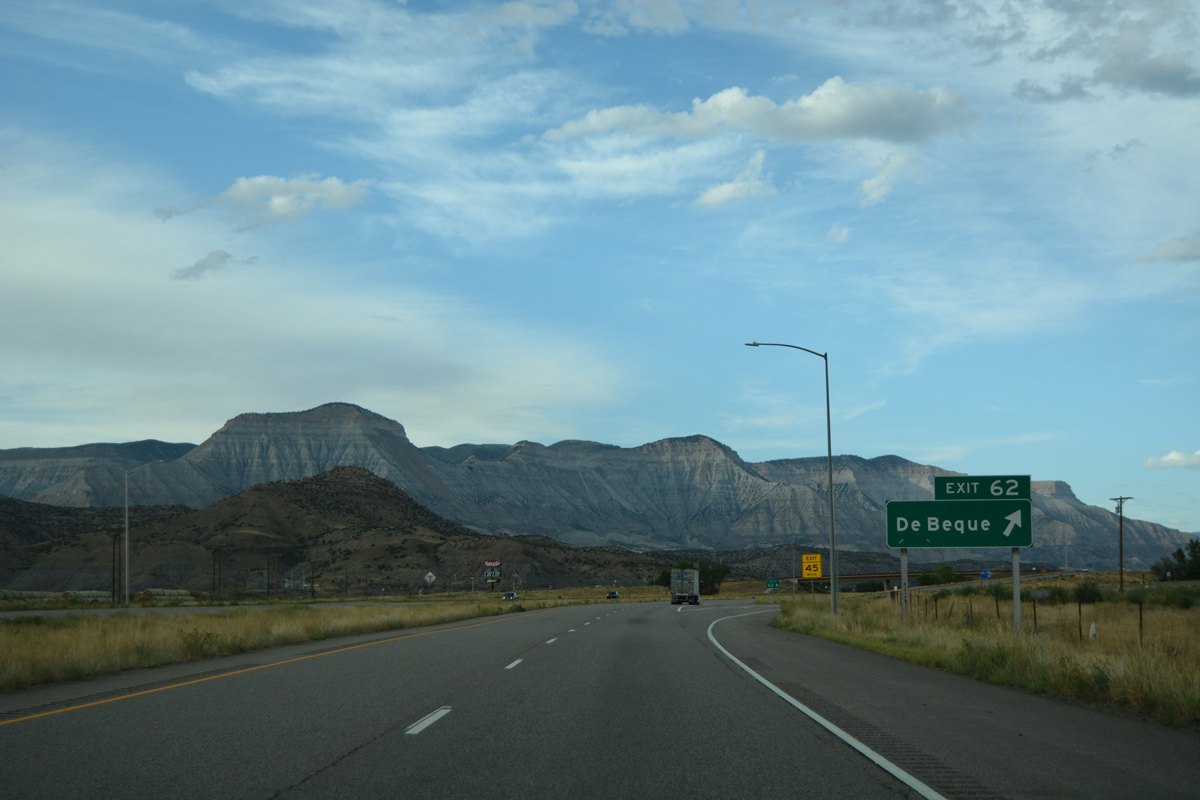
Travelers on I-70 east next enter the town of Palisade in six miles. Turning northward from there, Interstate 70 continues another 19 miles to the town of De Beque.
08/10/16
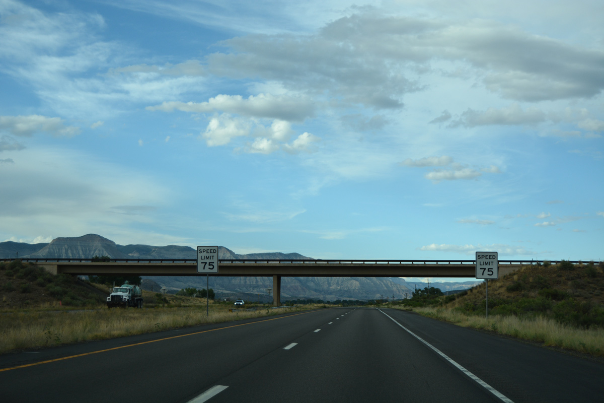
A chain up area lines the eastbound lanes ahead of milepost 39. I-70 is around 4,800 feet above sea level at this point.
08/10/16
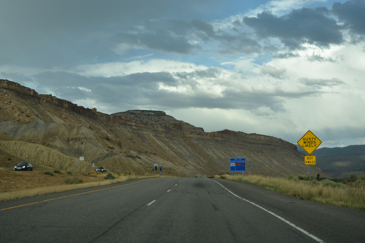
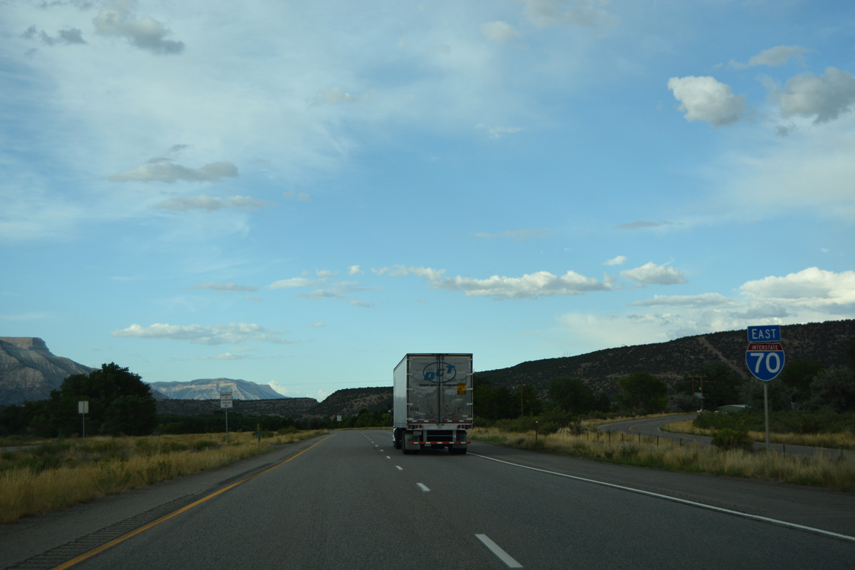
Gusty winds are likely as Interstate 70 enters eastern reaches of Grand Valley, south of Mount Lincoln.
08/10/16
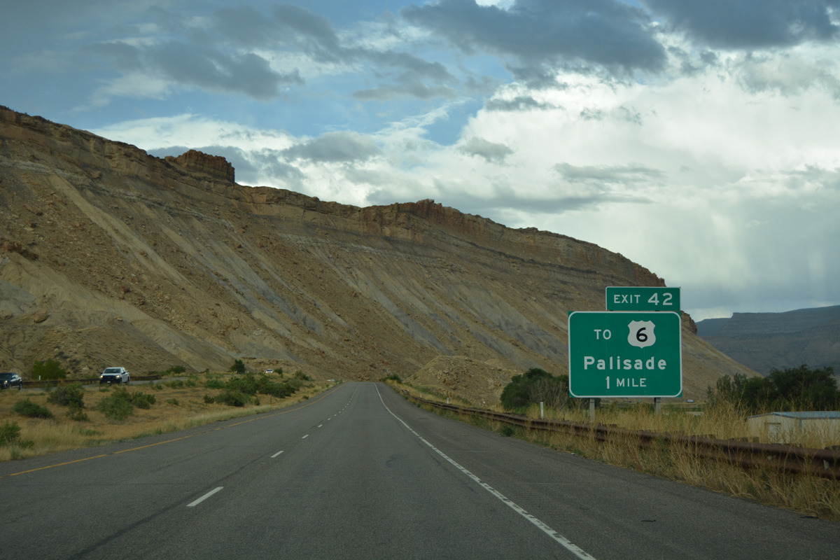
Elberta Avenue ties into I-70 from U.S. 6 (8th Street) to the south at a diamond interchange (Exit 42) in one mile.
08/10/16
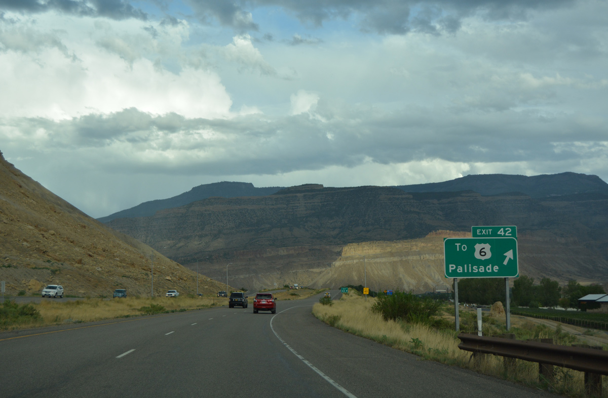
Elberta Avenue south from Exit 42 to U.S. 6 east was formerly a business loop for Interstate 70 through Palisade. U.S. 6 doubled as the business loop east from the south side of town to Exit 44.
08/10/16
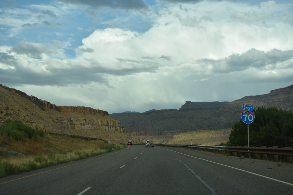
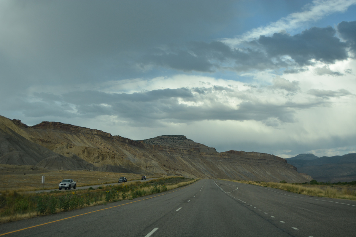
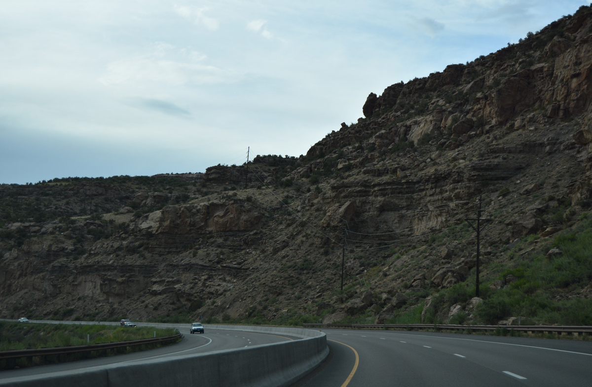
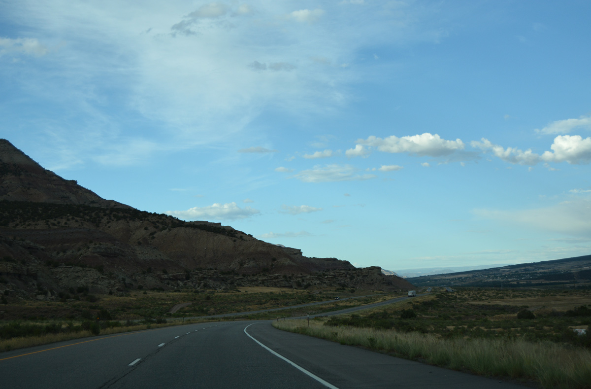
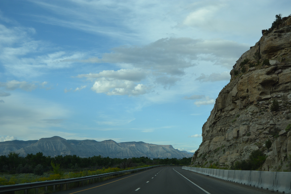
Interstate 70 hugs the bluff line north of Palisades through a series of S-curves to milepost 44.
08/10/16
Leaving Grand Valley, I-70 spans the Colorado River and combines with U.S. 6 east at a wye interchange (Exit 44 on westbound).
08/10/16
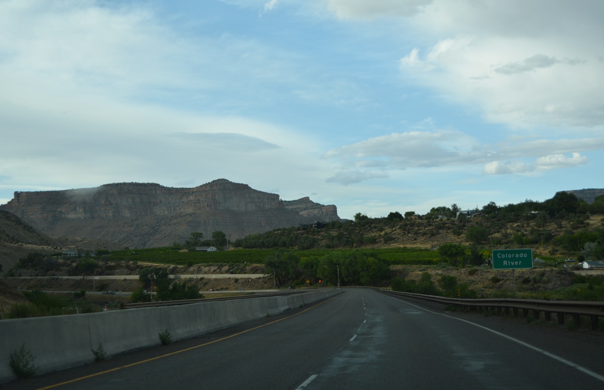
 East
East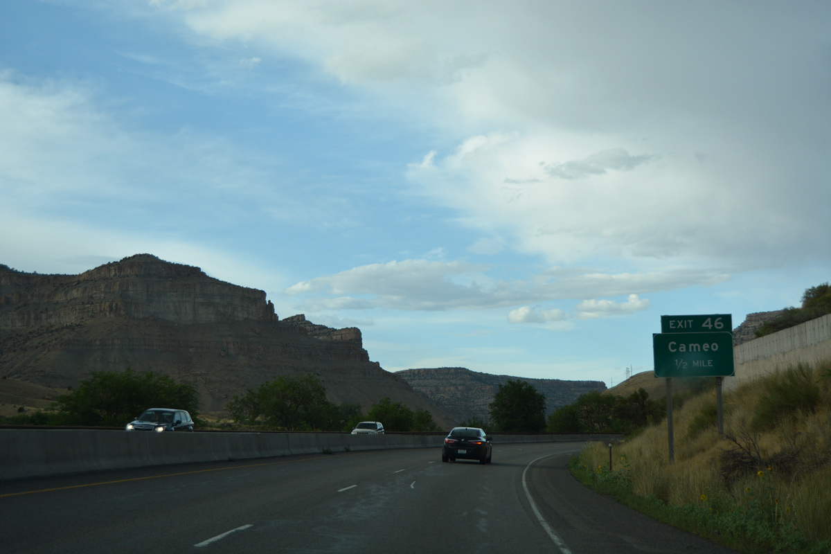
Curving north, Interstate 70 and unsigned U.S. 6 follow the Colorado River to Cameo at Exit 46.
08/10/16
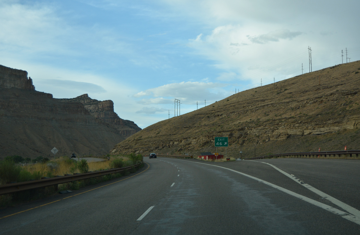
The diamond interchange (Exit 46) at Cameo links with local roads west to a power substation and Coal Canyon.
08/10/16
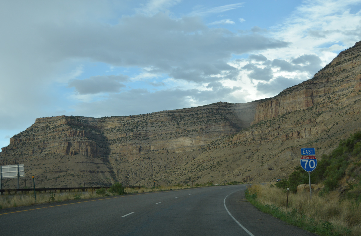
Reassurance marker for I-70 east posted after Cameo and east of Main Canyon.
08/10/16
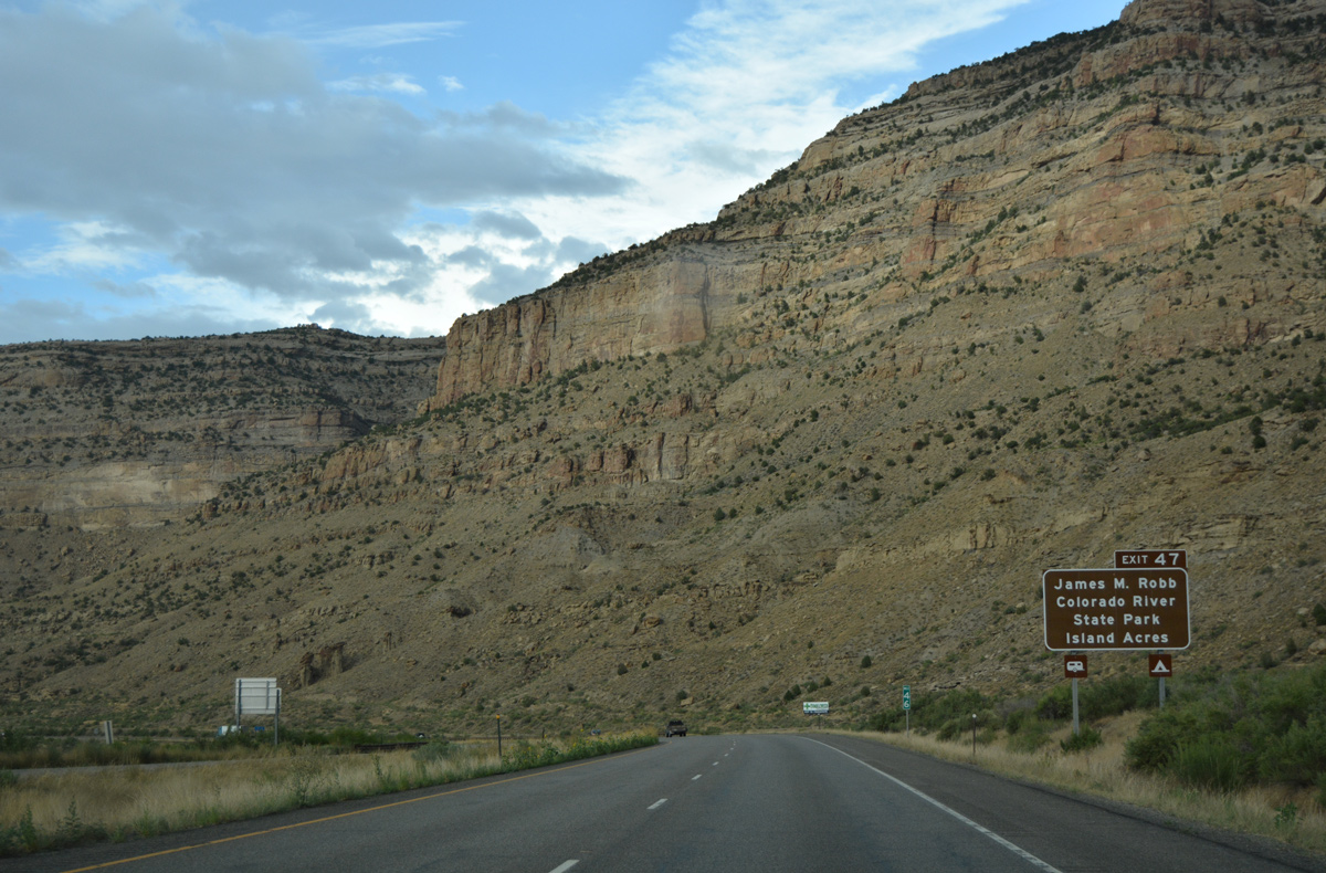
The next exit serves the Island Acres section of James M. Robb Colorado River State Park. The park lies just west of the freeway across from Whittaker Flats.
08/10/16
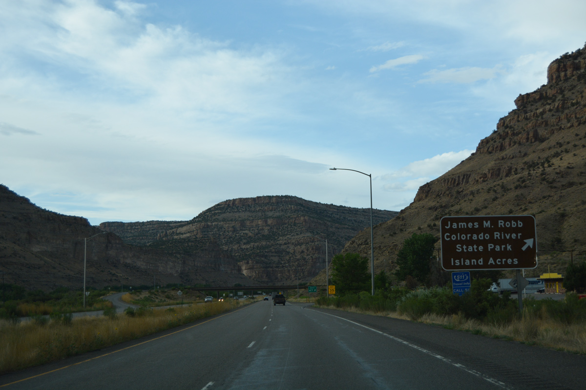
A truck stop is located on the east side of the diamond interchange (Exit 47) for James M. Robb Colorado River State Park.
08/10/16
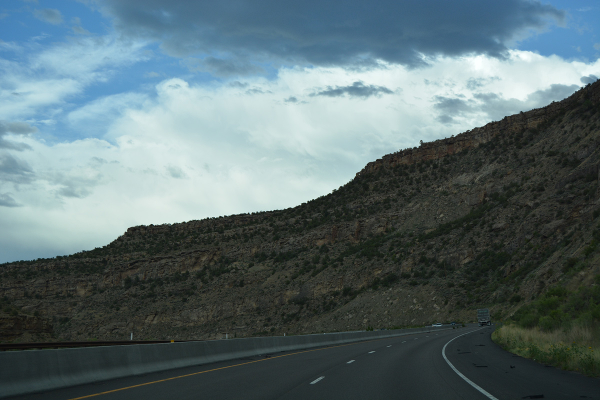
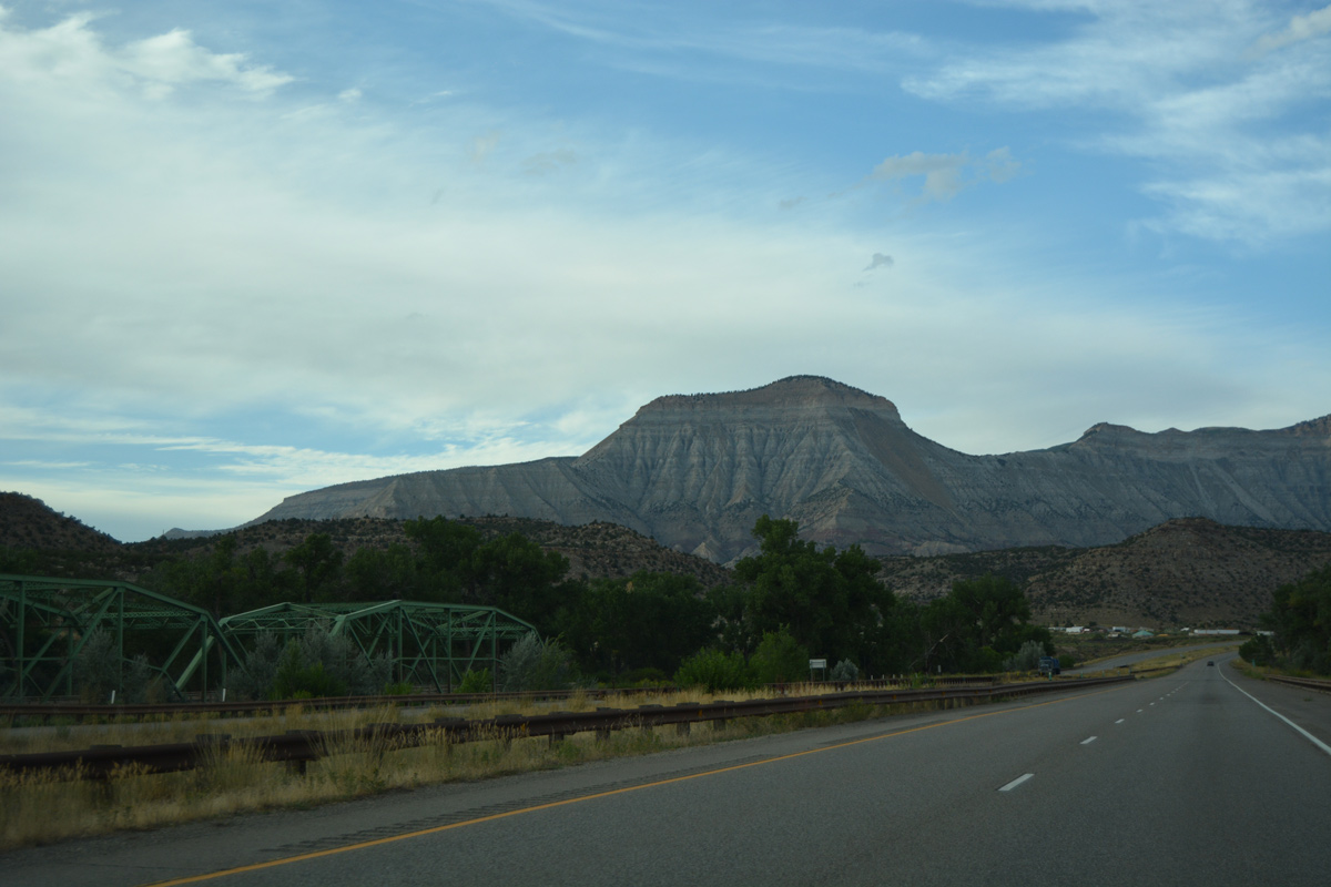
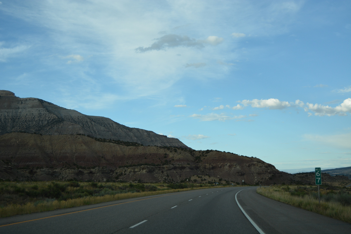
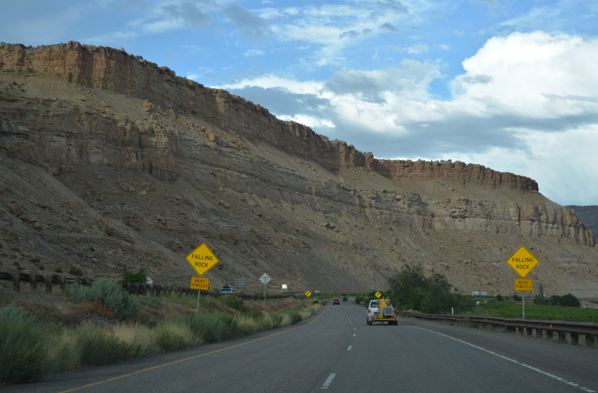
Cliffs rise to 5,855 feet to the east of Asbury Creek in this scene along Interstate 70 east after milepost 47.
08/10/16
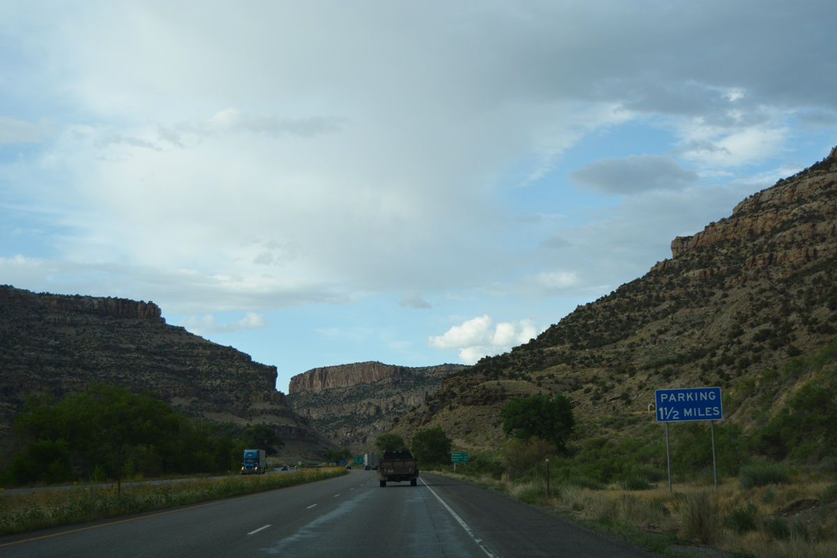
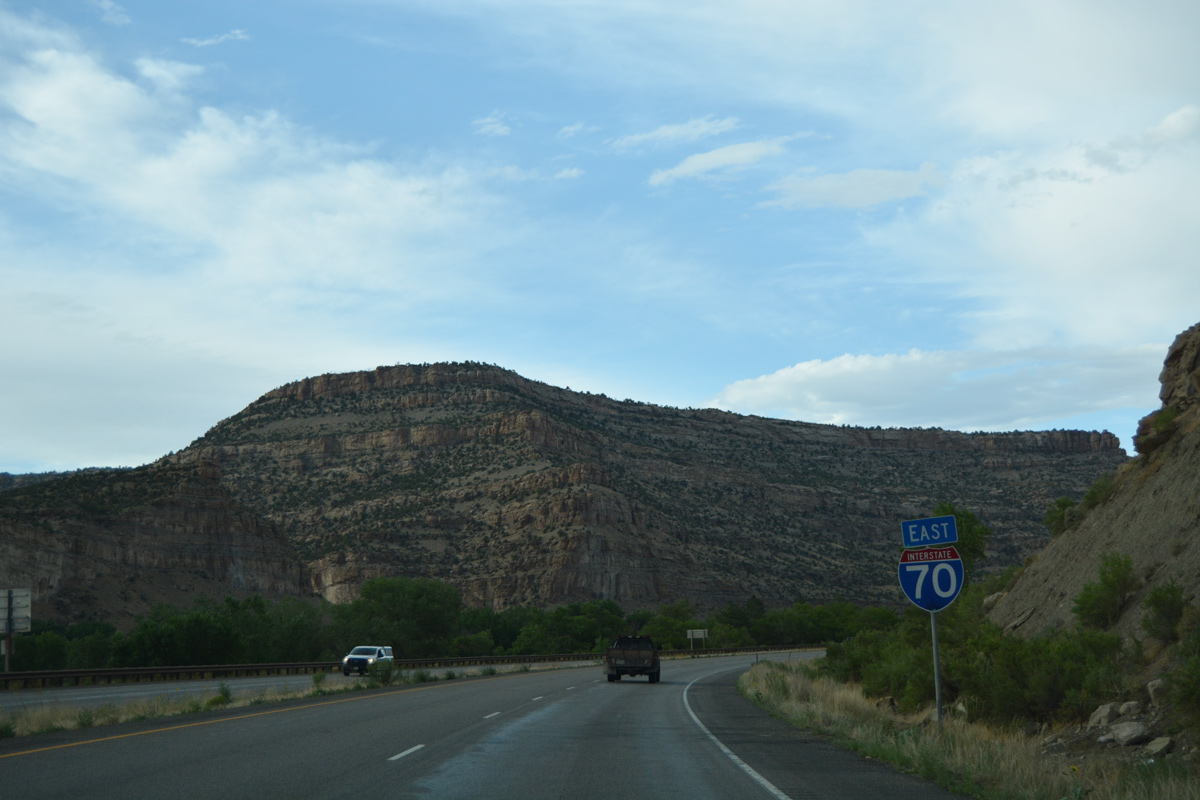
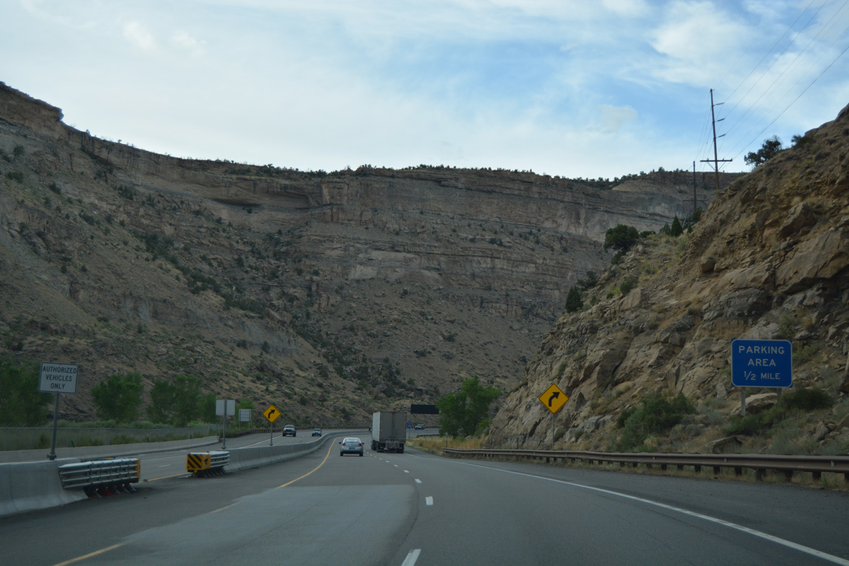
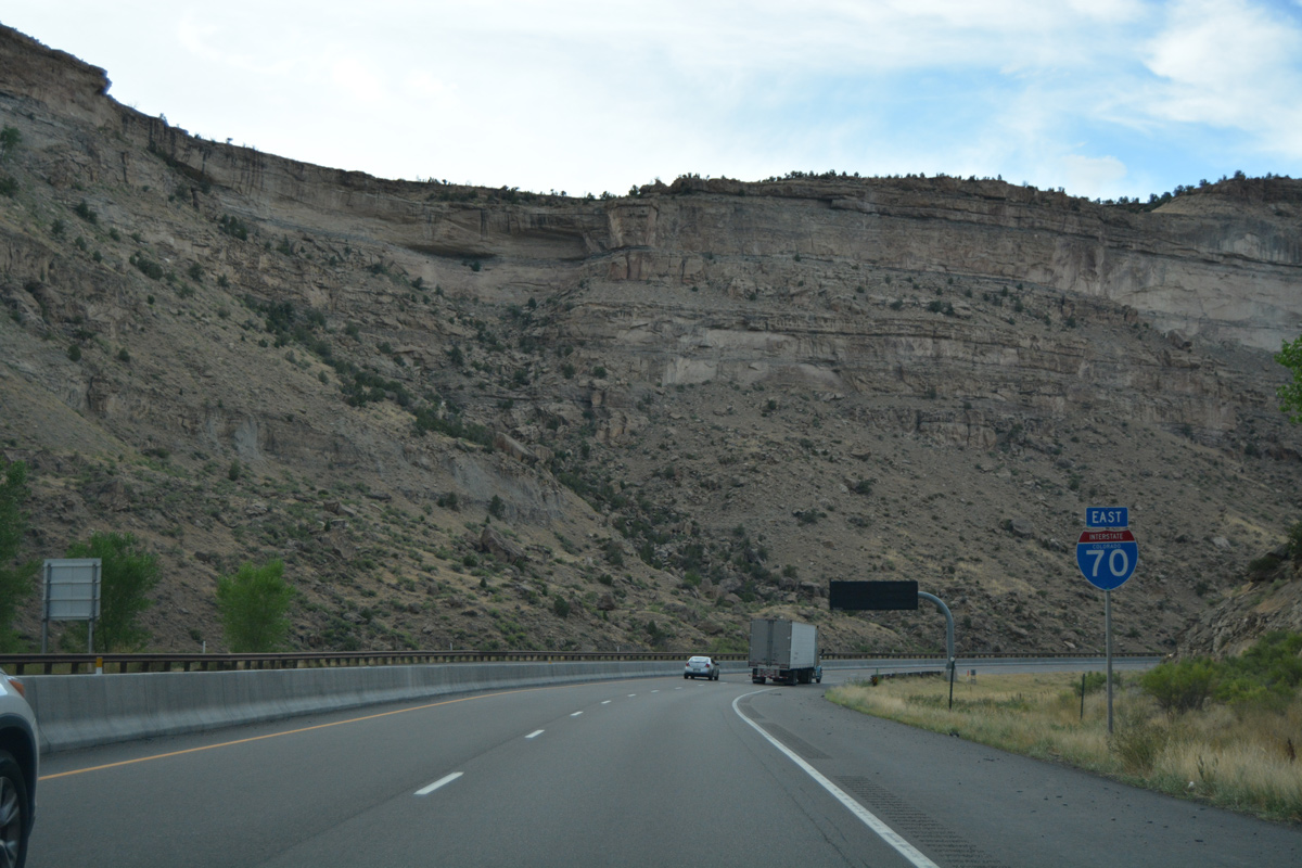
A parking area lies 1.5 miles ahead by Beavertail Mountain.
08/10/16
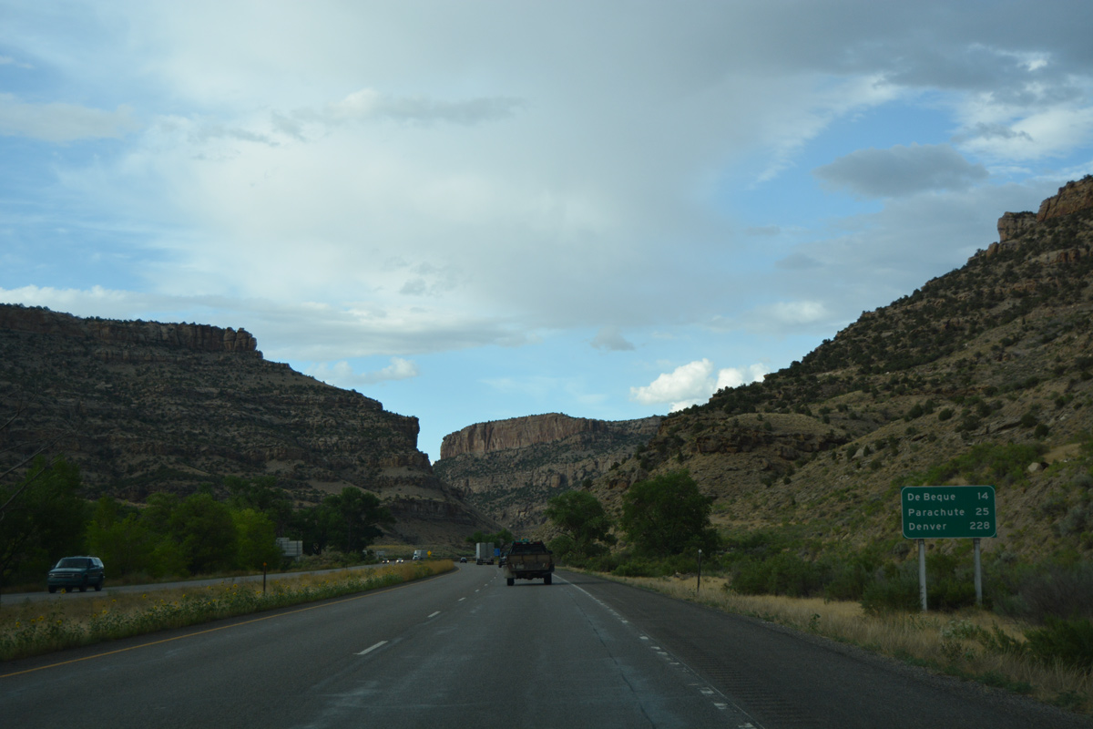
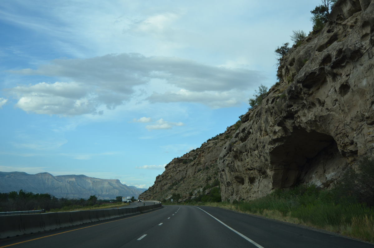
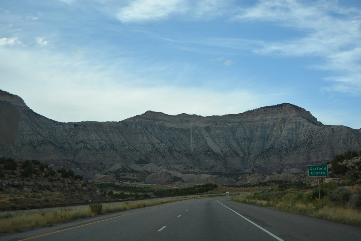
The Garfield County town of Parachute is 25 miles to the northeast. Denver is 228 miles away.
08/10/16
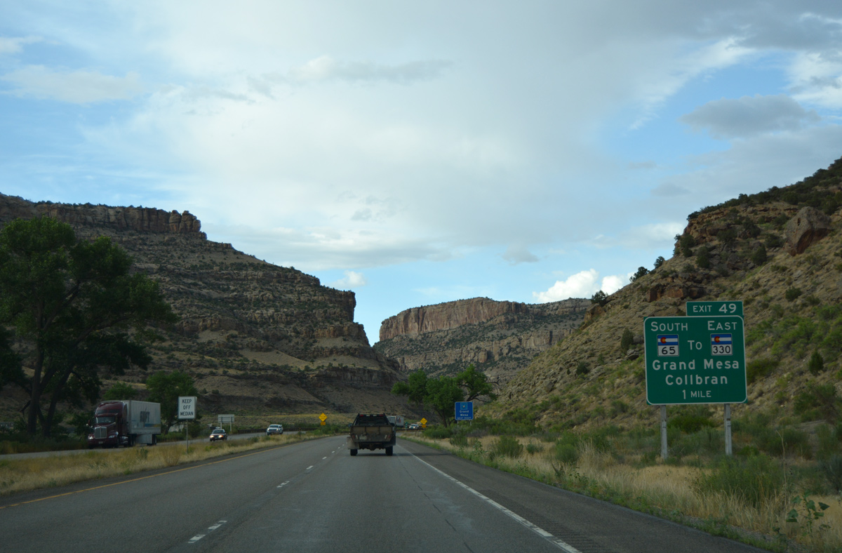
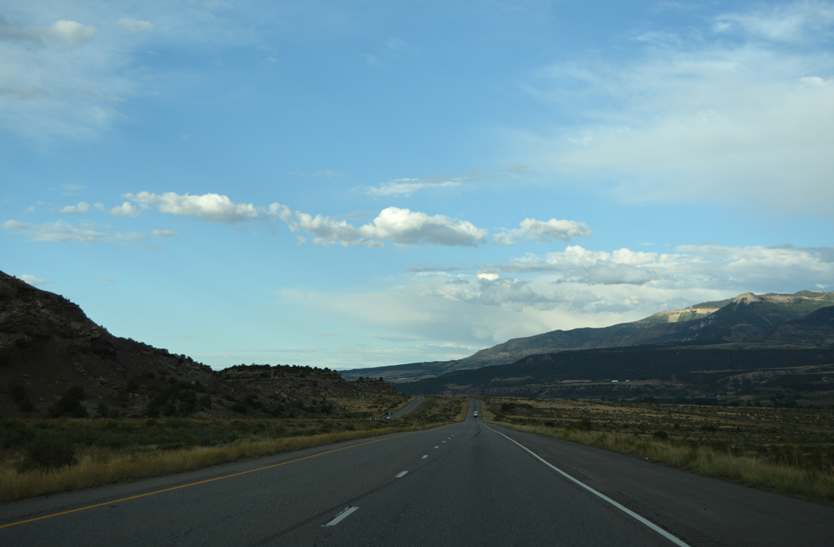
SH 65 commences a 61.38 mile long route to SH 92 near Delta at Exit 49 in one mile.
08/10/16
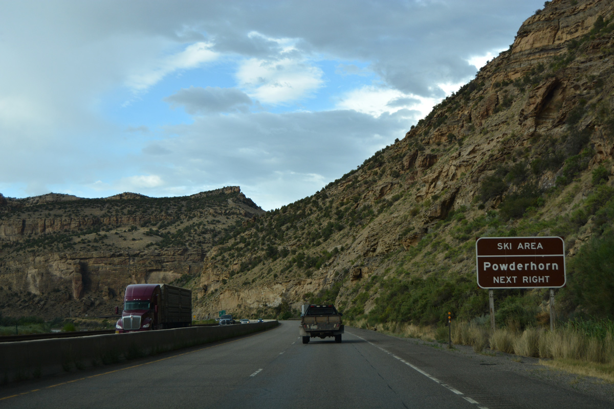
SH 65 turns south from Plateau Valley to reach Powderhorn Ski Area in 19 miles.
08/10/16
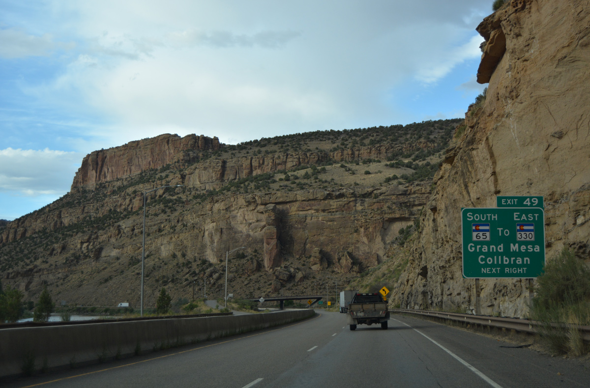
Exit 49 leaves I-70/U.S. 6 east for SH 65 (Grand Mesa Scenic Byway) east to Mesa, Skyway and Grand Mesa National Forest. SH 330 stems east from the highway in ten miles to Molina and Collbran.
08/10/16
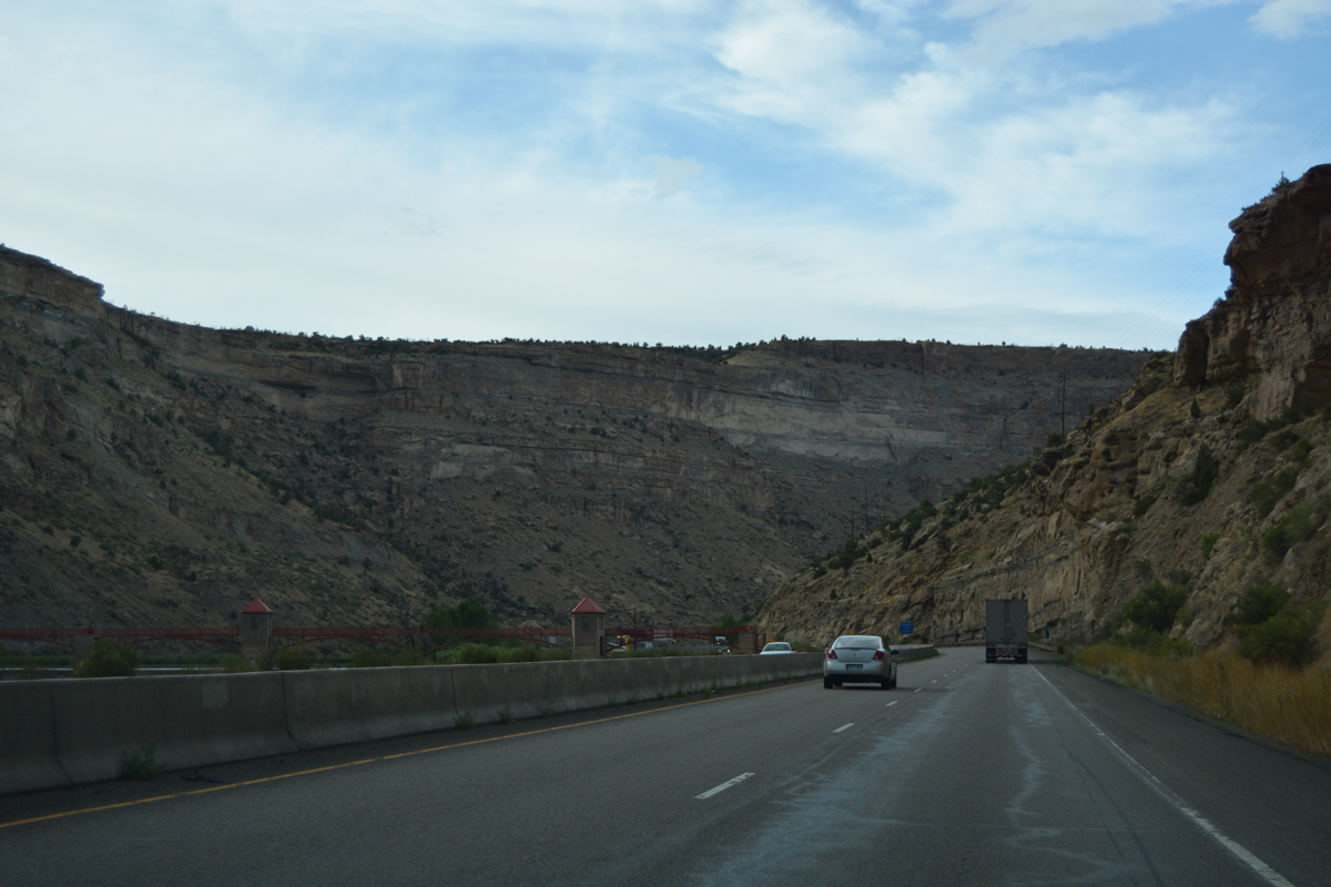
Grand Valley Diversion Dam appears alongside Interstate 70 just beyond Exit 49.
08/10/16
The forthcoming parking area utilizes a portion of old U.S. 6 along the east banks of the Colorado River.
08/10/16
Interstate 70 makes nearly a 180 degree turn ahead of Beavertail Mountain.
08/10/16
Directly overlaying most of old U.S. 6, Interstate 70 north through De Beque Canyon was completed in 1989.
08/10/16
The I-70 bridges across the Colorado River at Beavertail Mountain were built in 1985.
08/10/16
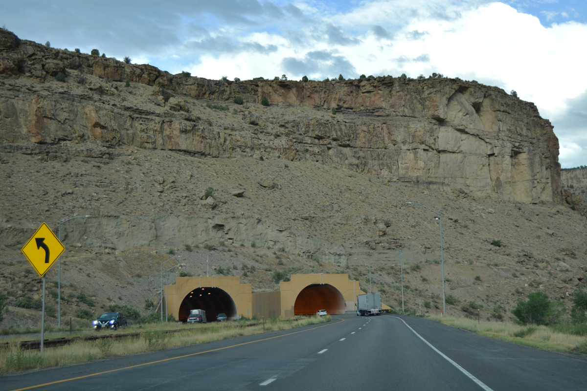
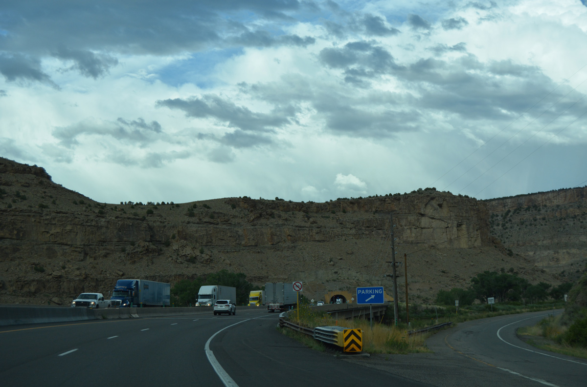
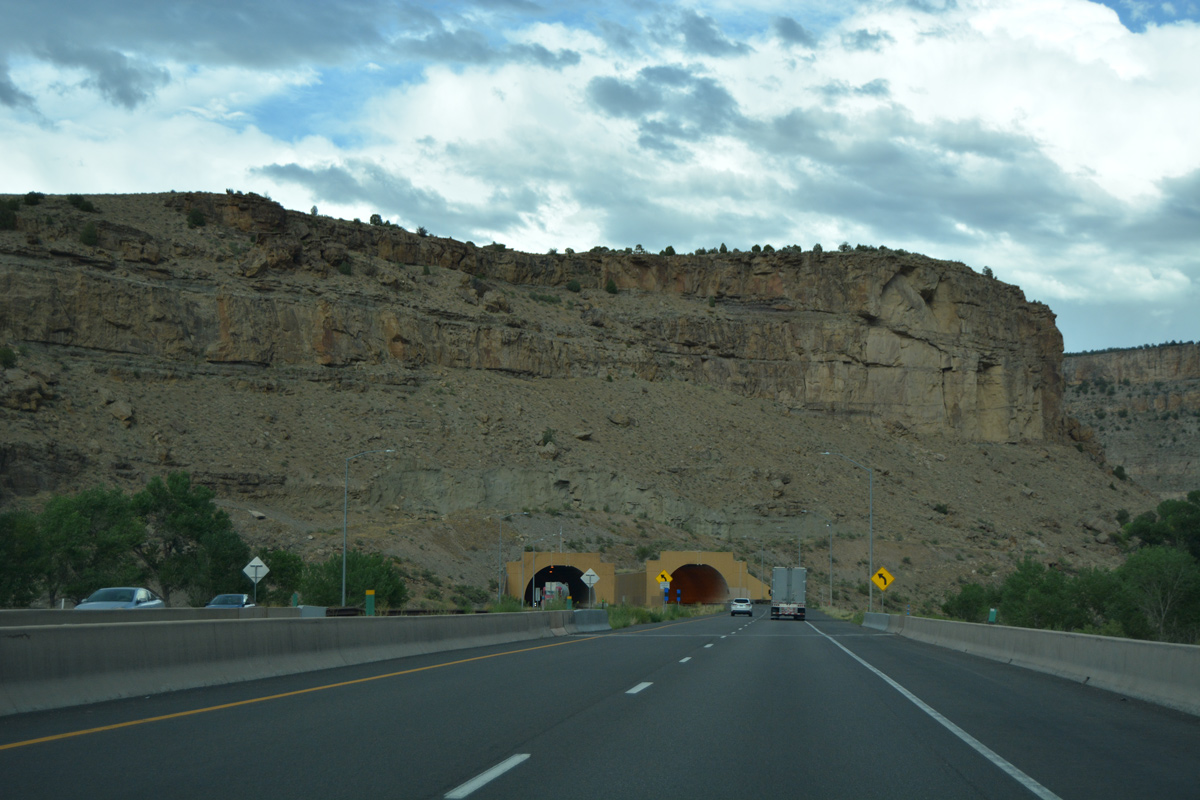
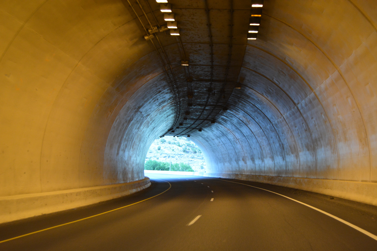
The freeway cuts through the sandstone and shale bedrock of Beavertail Mountain through a pair of curved tunnels east of milepost 50.1
08/10/16
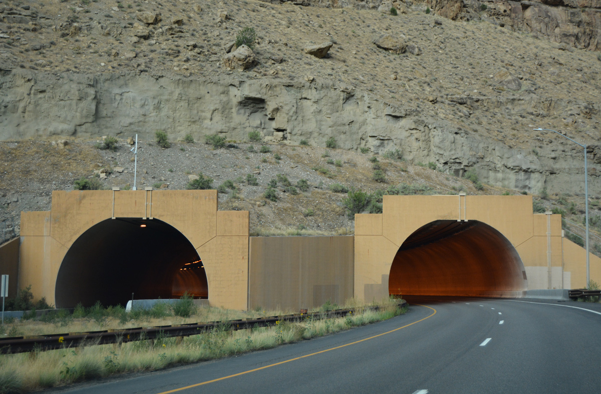
The Beavertail Tunnels were the first tunnels in the United States to use curved sidewalls. The design previously used in Europe provides a superior structure section and is visually pleasing. The tunnels were bored with a large rotating cutter.1
08/10/16
Interstate 70 emerges from the Beavertail Tunnel to cross the Colorado River again and merge with the parking area entrance ramp (old U.S. 6).
08/10/16
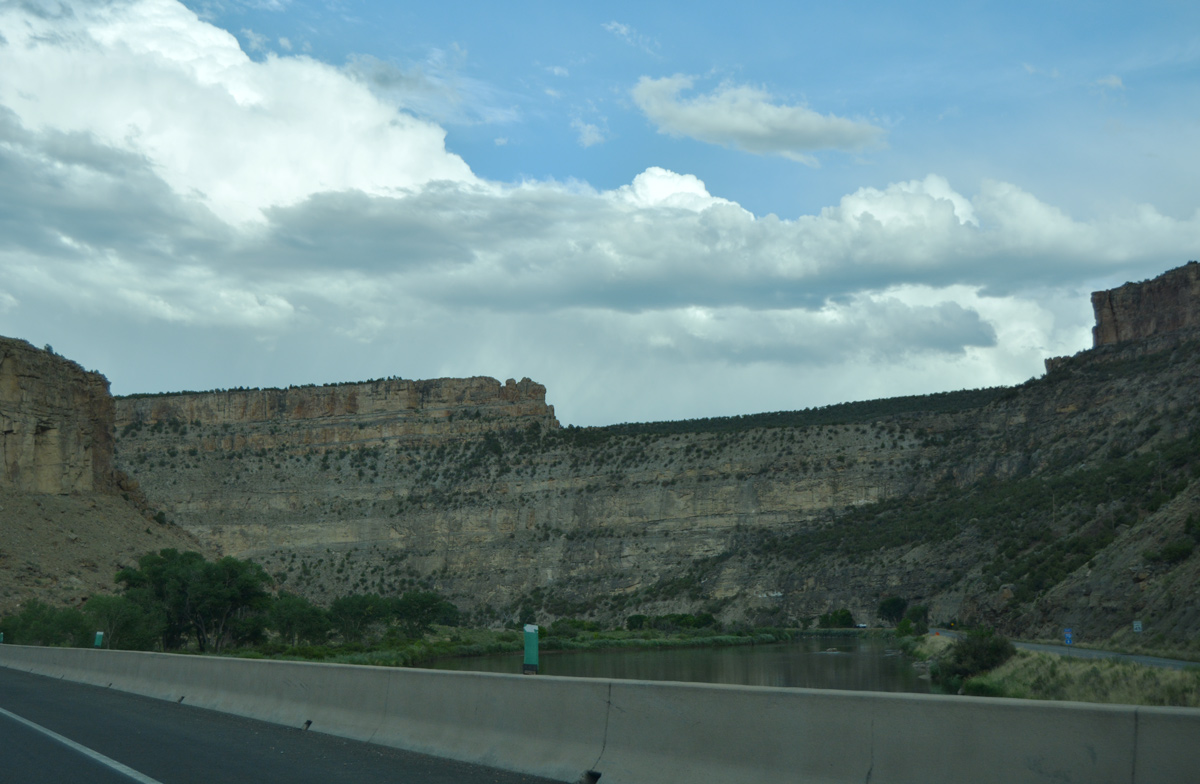
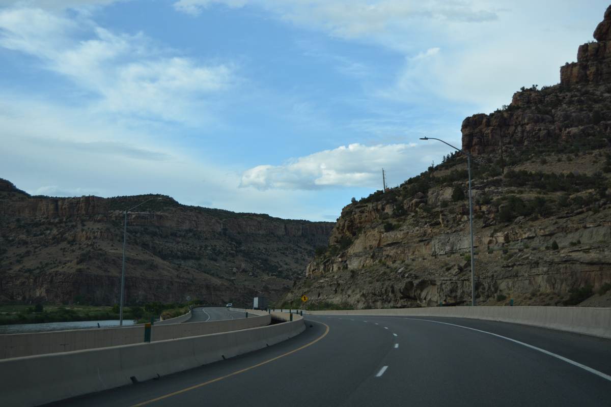
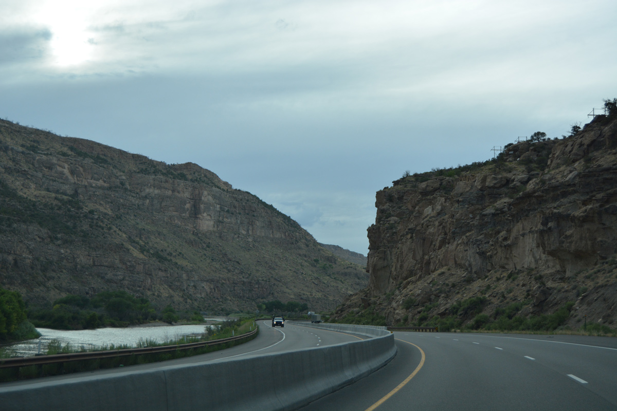
A lengthy exit less stretch ensues as I-70/U.S. 6 progress northward through De Beque Canyon.
08/10/16
Scene along Interstate 70 east of Roberts Canyon and north of Silvey Flats.
08/10/16
Curving northwest toward Jackson Canyon along I-70 between Bunkwater Ridge and Long Point.
08/10/16
Turning north again, I-70 passes by Monument Canyon across from the UP Railroad siding of Akin.
08/10/16
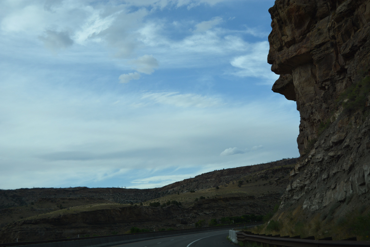
Rock outcrops along I-70/U.S. 6 east of Track Ridge.
08/10/16
A roadway separation sees the westbound lanes shift across the Colorado River while the eastbound mainline remains directly over old U.S. 6.
08/10/16
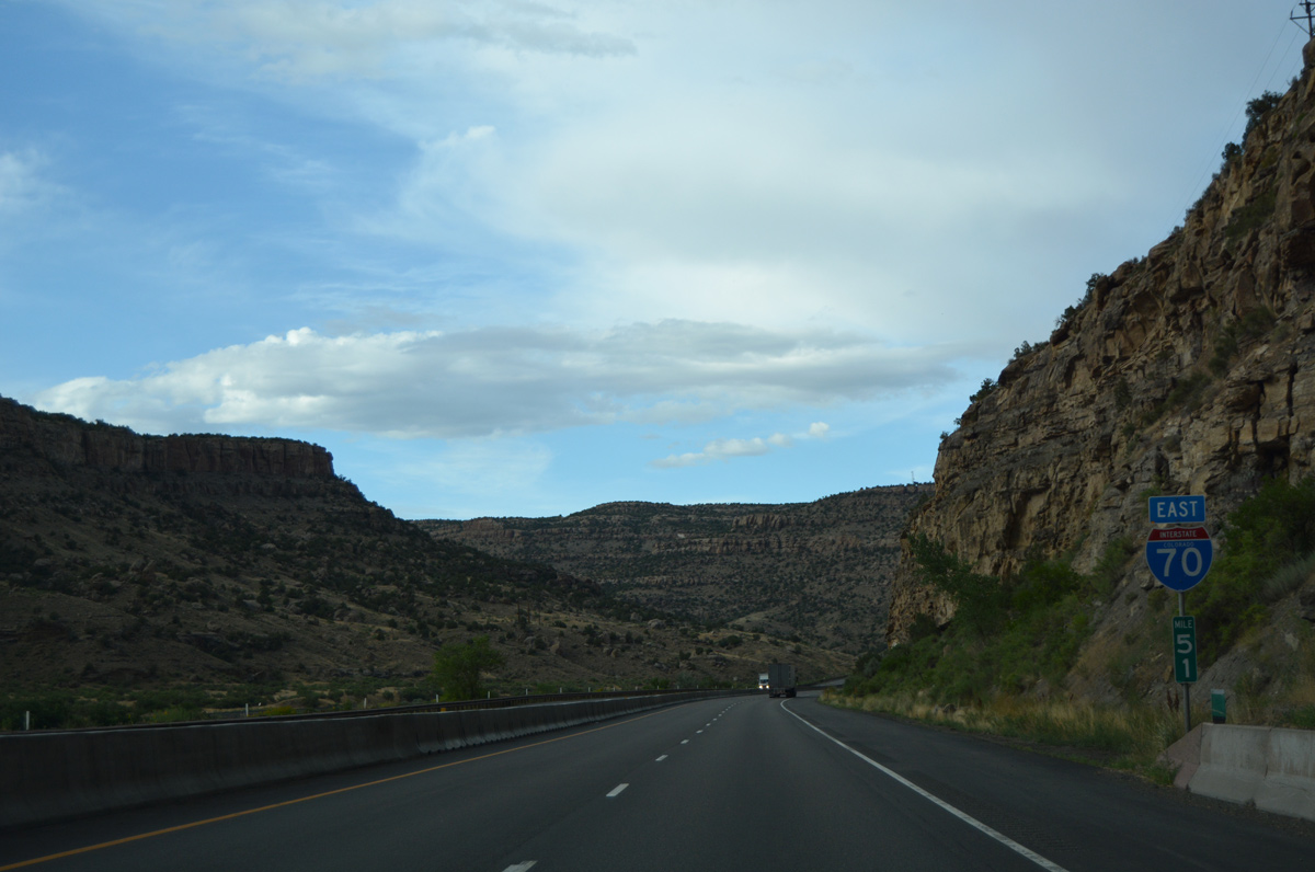
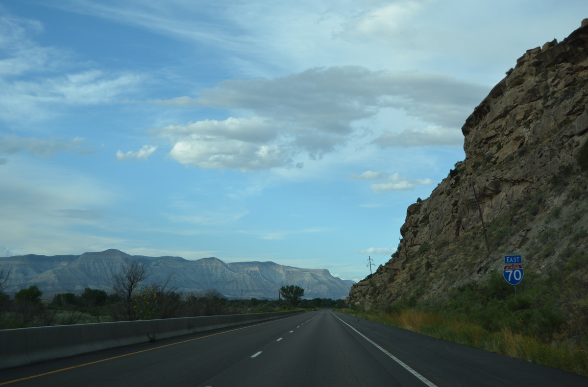
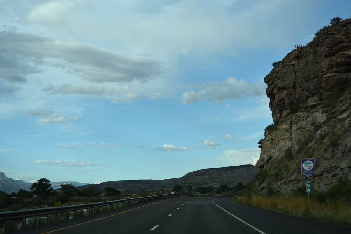
Interstate 70 exits De Beque Canyon beyond milepost 58. Speed limits increase from 65 to 75 miles per hour at the frontage road system overpass for old U.S. 6.
08/10/16
Frontage roads accompany the freeway north to the diamond interchange (Exit 62) with 45 1/2 Road south and 45 Road north.
08/10/16
De Beque lies just across the Colorado River via 45 Road. Although not acknowledged from Exit 62, U.S. 6 partitions with I-70 here to rejoin its old alignment northeast to Parachute. Inventoried as Route 006M by CDOT, the second independent segment in Colorado from the west runs 26.59 miles.
08/10/16
CDOT recorded 17,000 vehicles per day (vpd) along I-70 leading east from De Beque in 2015.
08/10/16
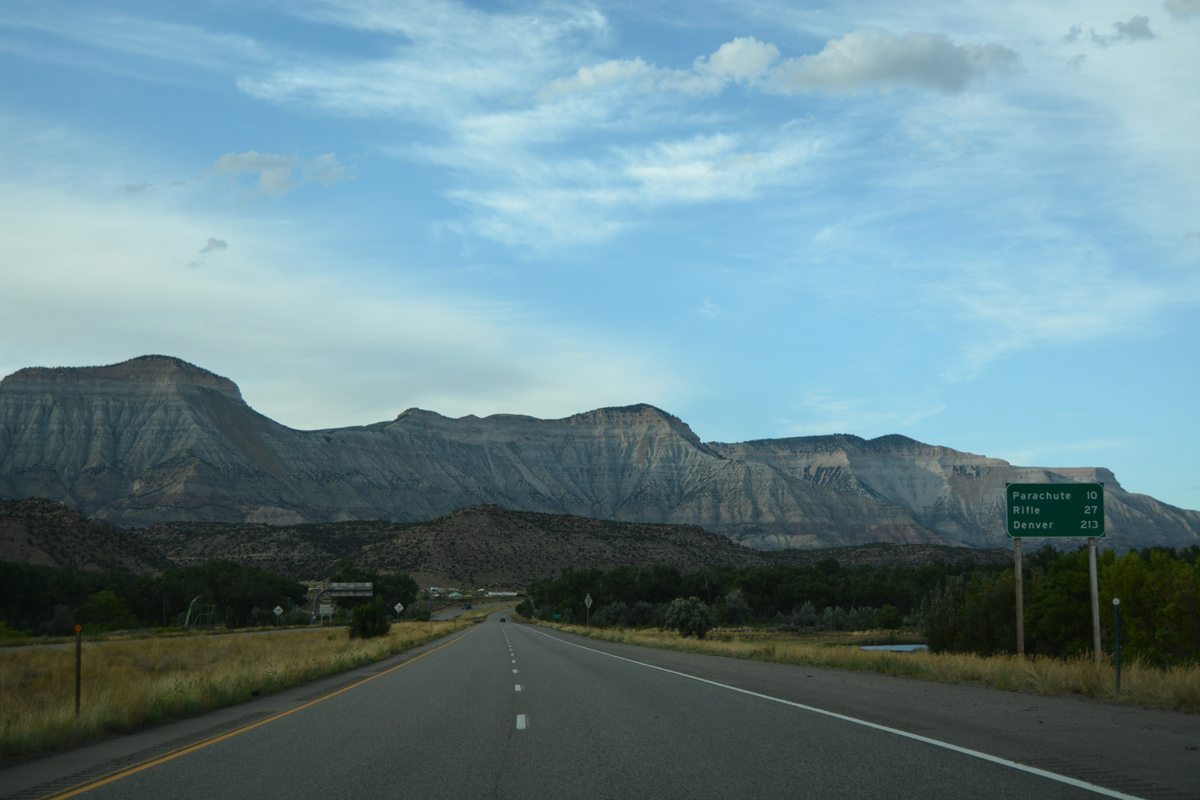
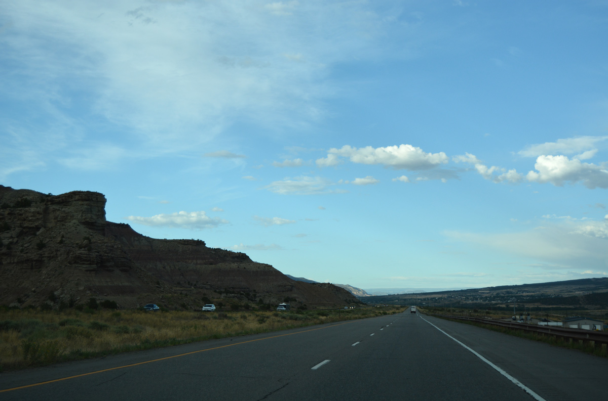
Parachute, located ten miles ahead, represents the next traveler services along Interstate 70 eastbound. Rifle offers a wider range of options in 27 miles.
08/10/16
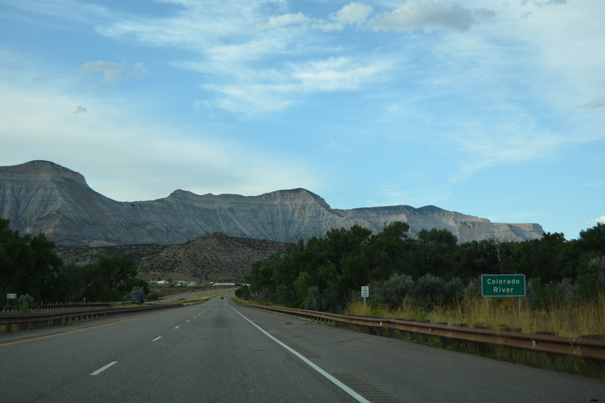
Back to back bridges along Interstate 70 take travelers across the Colorado River and its associated channel. U.S. 6 spans the river to the west along a two span through truss bridge built in 1945.2
08/10/16
The fifth crossing of the Colorado River along Interstate 70 eastbound.
08/10/16
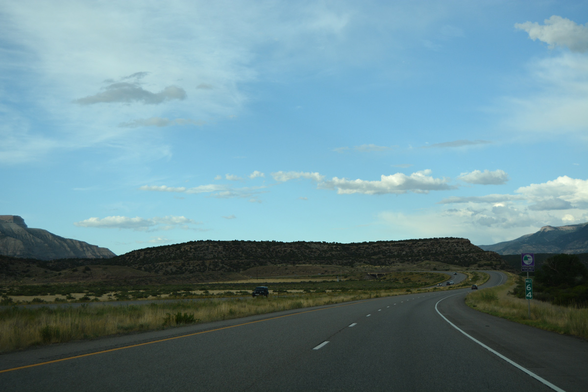
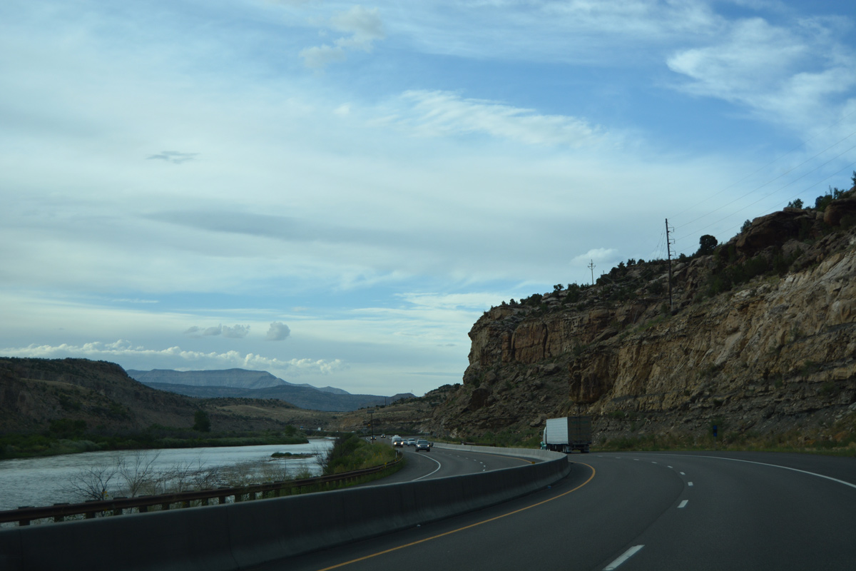
Advancing east from milepost 64, I-70 and U.S. 6 converge across a low rise mesa.
08/10/16
Samson Mesa rises from the Colorado River valley in this scene east from Interstate 70.
08/10/16
U.S. 6 parallels I-70 to the east to the Garfield County line. Mount Logan (el. 8,402 feet) rises to the north.
08/10/16
Interstate 70 travels by the eastern slopes of Mount Logan while U.S. 6 stays closer to the Colorado River.
08/10/16
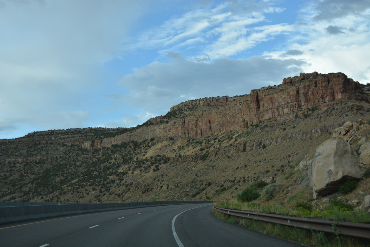
Traversing a broad valley fed by the Colorado River, Interstate 70 turns northeast between the Roan Cliffs and High Mesa.
08/10/16
Looking toward High Mesa, Battlemont Mesa and Sugarloaf Mountain to the southeast of the Colorado River and I-70.
08/10/16
I-70 makes an S-curve by Smith Gulch between mileposts 68 and 69.
08/10/16
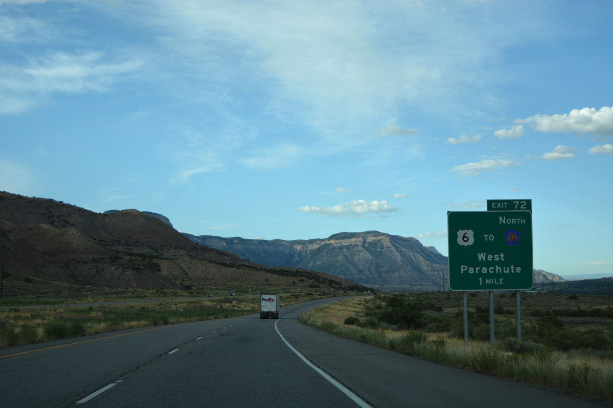
U.S. 6 shifts sides with Interstate 70 at Exit 72 as both routes advance to the town of Parachute.
08/10/16
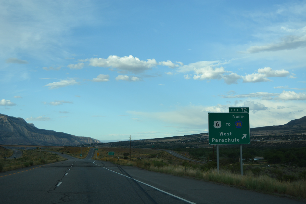
A dumbbell interchange (Exit 72) joins I-70 with U.S. 6. U.S. 6 runs along the west side of the freeway northeast through Parachute. Parachute Park Road provides a bypass of the town center north to CR 215. CR 215 parallels Parachute Creek north to a pair of industrial plants.
08/10/16
East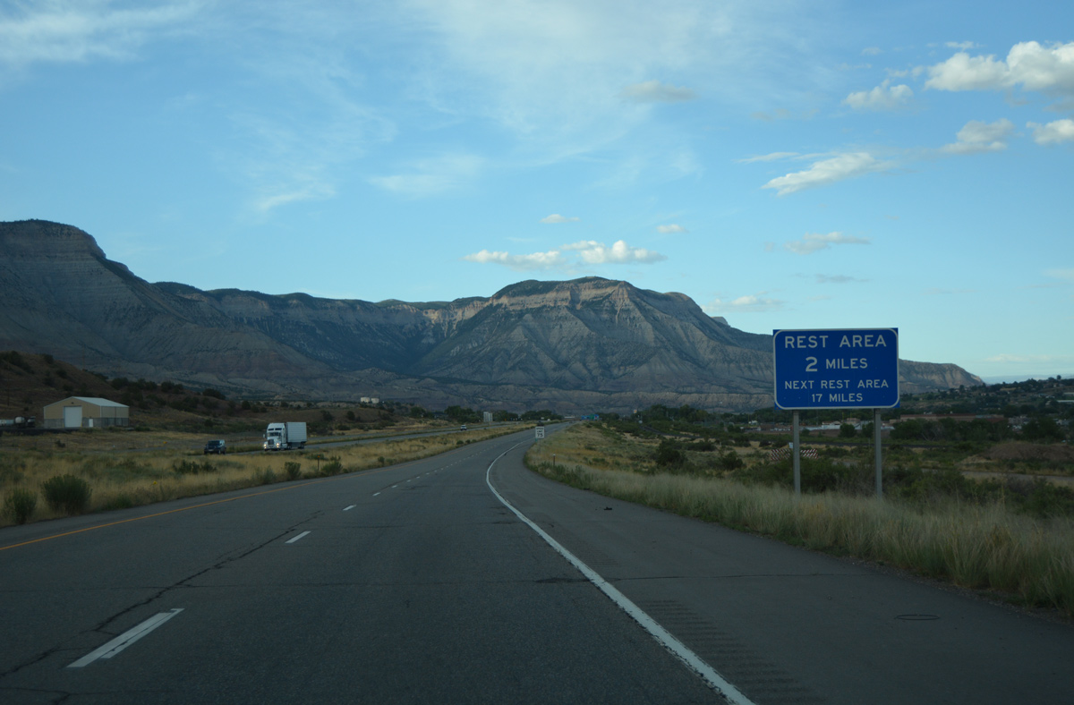
The Parachute Rest Area is located off U.S. 6 (1st Street) by forthcoming Exit 75 in two miles.
08/10/16
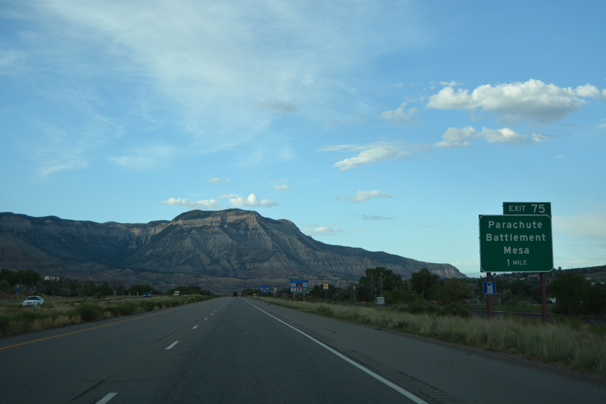
Exit 75 departs in one mile for County Road 215 west to adjacent U.S. 6 (1st Street) and County Road 300 east to Battlement Parkway.
08/10/16

Entering the diamond interchange (Exit 75) at Parachute on Interstate 70 east. Battlement Mesa, situated east of the Colorado River via CR 300, is suburban style community comprised of a number of subdivisions, retail and a golf course.
08/10/16

References:
- Glenwood Canyon I-70 Final Link - 50th Anniversary of the Interstate System. Colorado Department of Transportation (CDOT).
- De Beque Bridge. http://bridgehunter.com/co/mesa/de-beque/ Bridgehunter.com.
Photo Credits:
- ABRoads: 08/10/16
Connect with:
Page Updated Friday March 24, 2017.