
Interstate 70 East - Cove Fort to Sevier

 East
East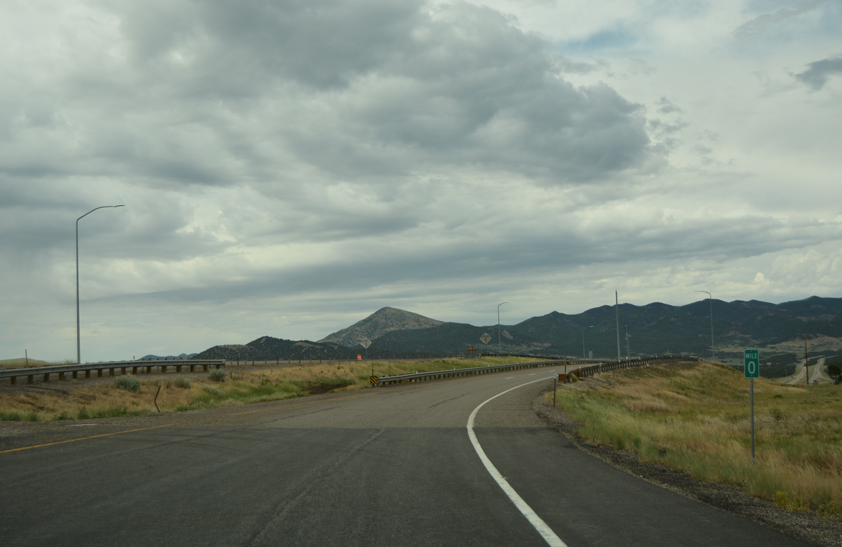
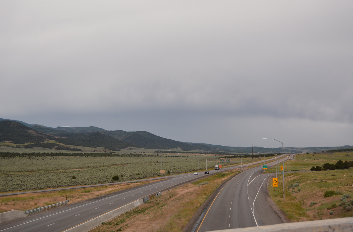
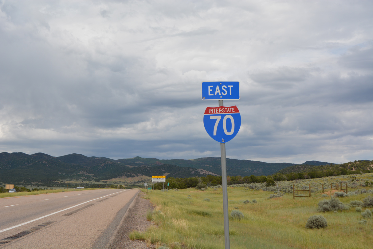
Interstate 70 commences east from a trumpet interchange with I-15 near Cove Fort.
07/03/16
07/03/16
Interstate 15 meets I-70 at Exit 132.
07/03/16
07/03/16
07/03/16
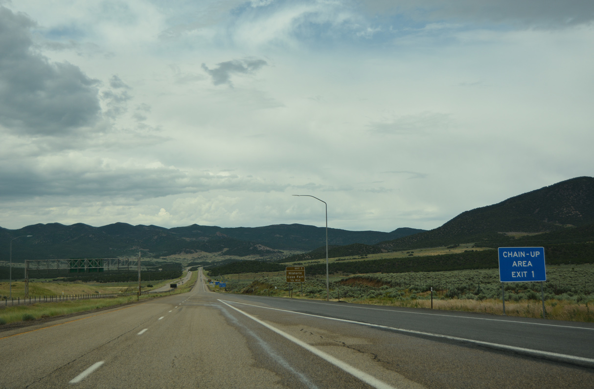
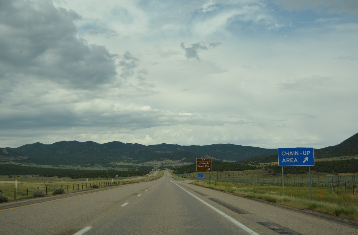
SR 161 comprises a 3.09 mile long loop north from I-70 at Exit 1 to Cove Fort and I-15 at Exit 135.
07/15/17
07/15/17
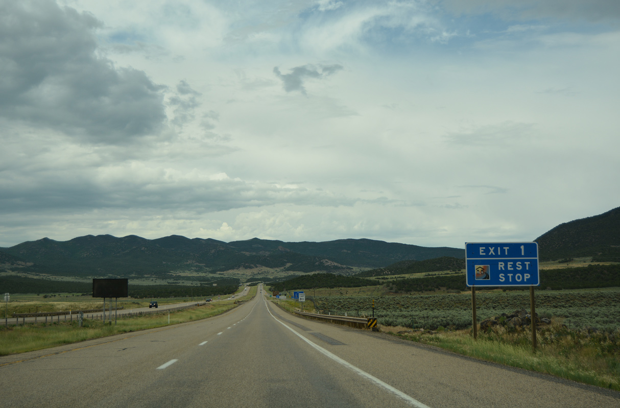
A rest stop lies north of Exit 1 along SR 161 by the exchange with Interstate 15.
07/03/16
07/03/16
07/03/16
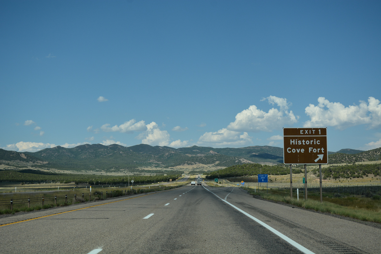
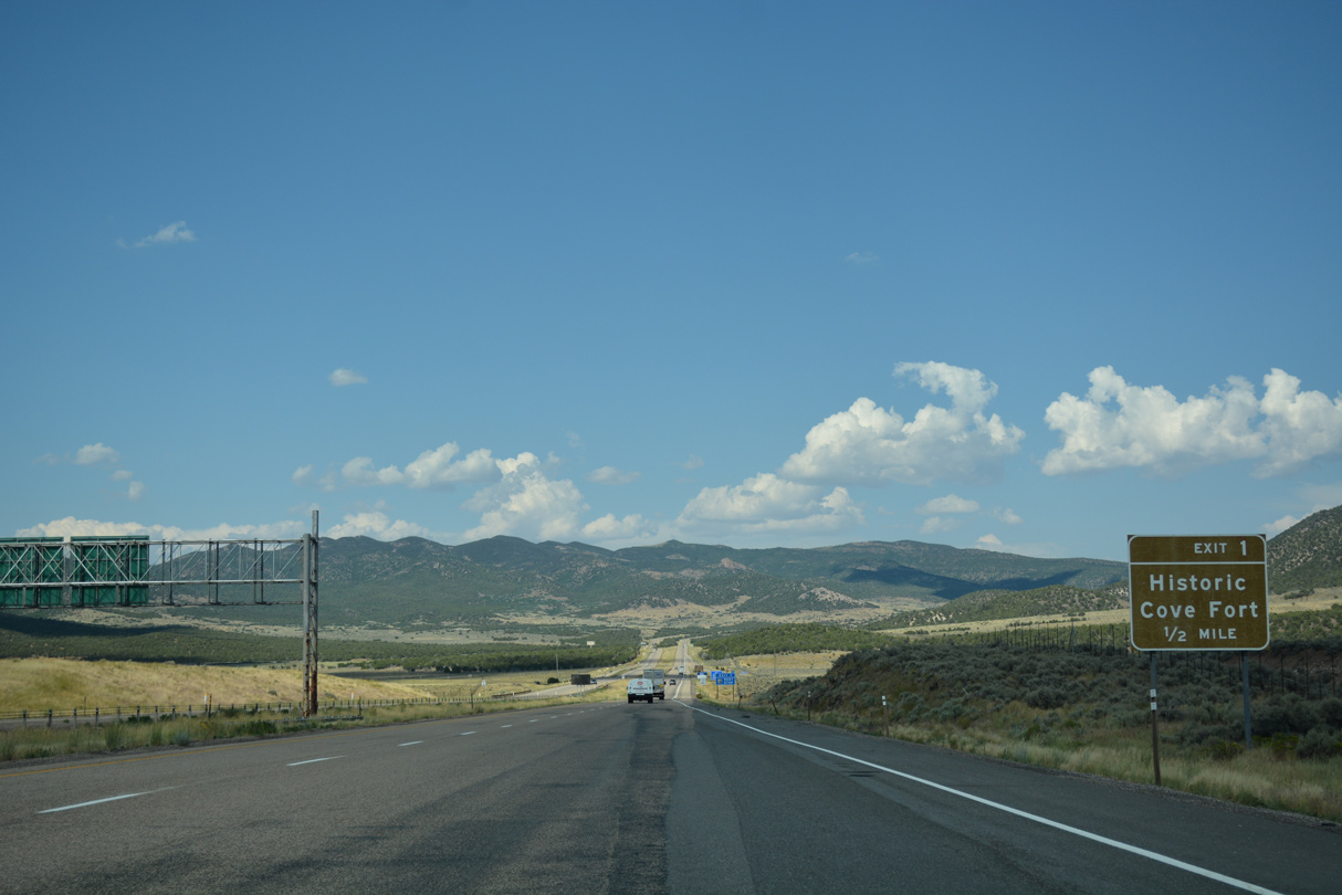
SR 161 through Historic Cove Fort follows part of old U.S. 91.
07/15/17
07/15/17
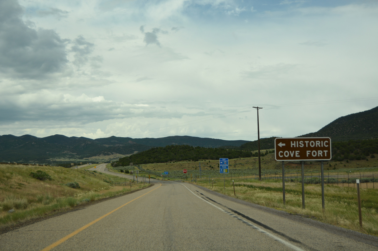
Old U.S. 91 continues south from Interstate 70 and SR 161 to I-15 at Exit 129.
07/03/16
07/03/16
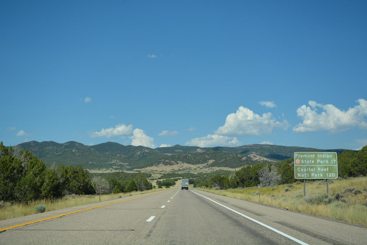
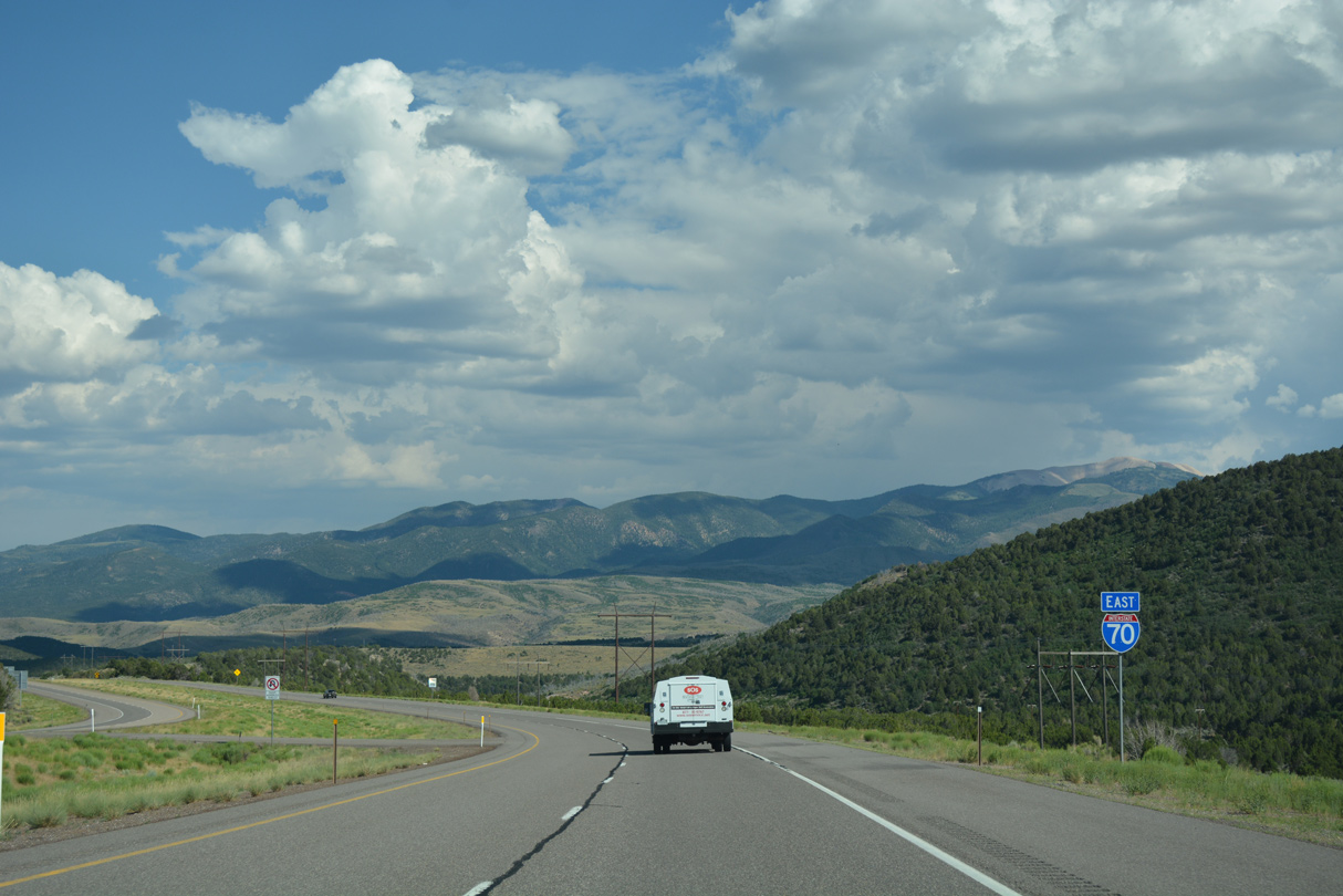
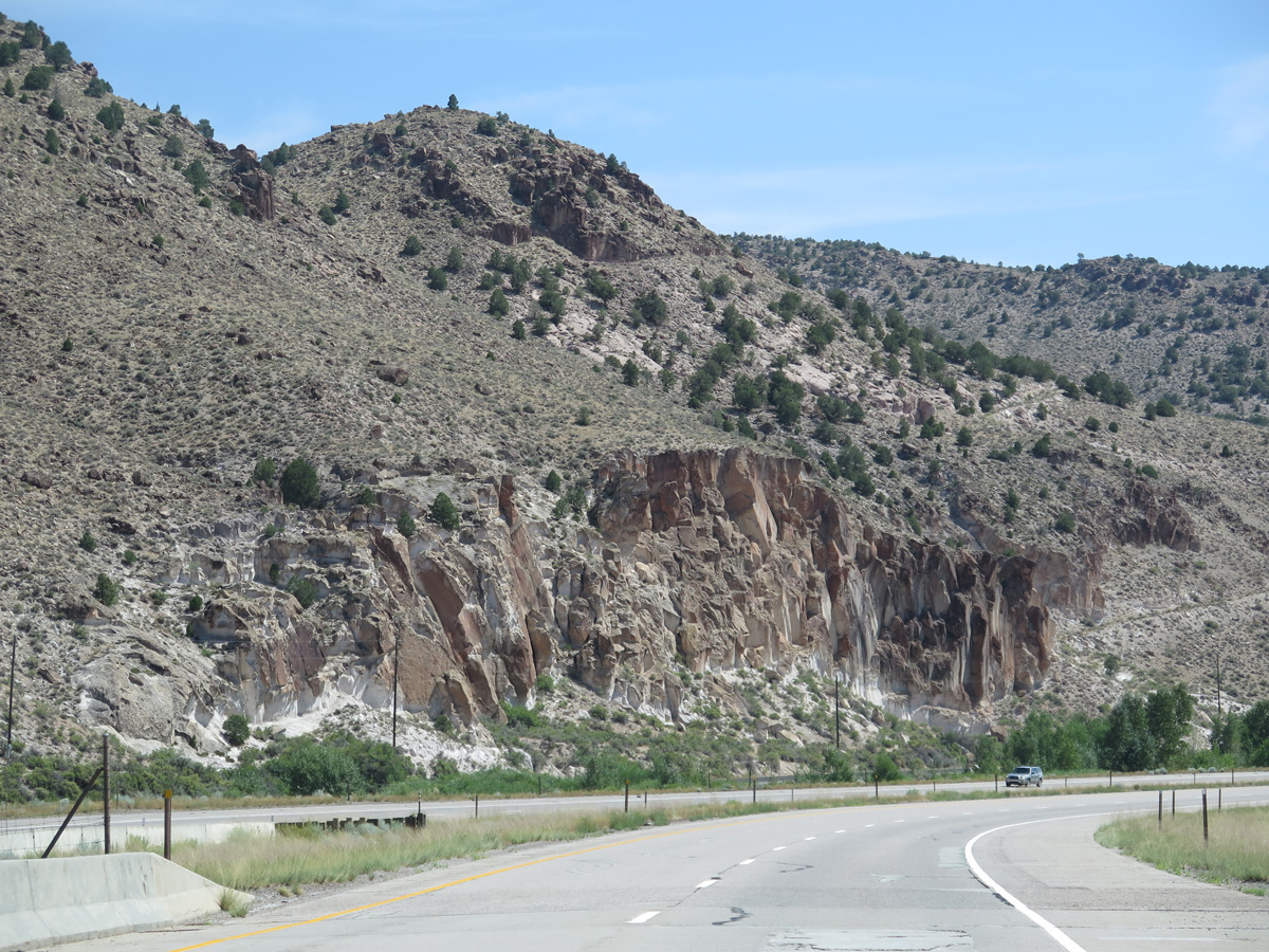
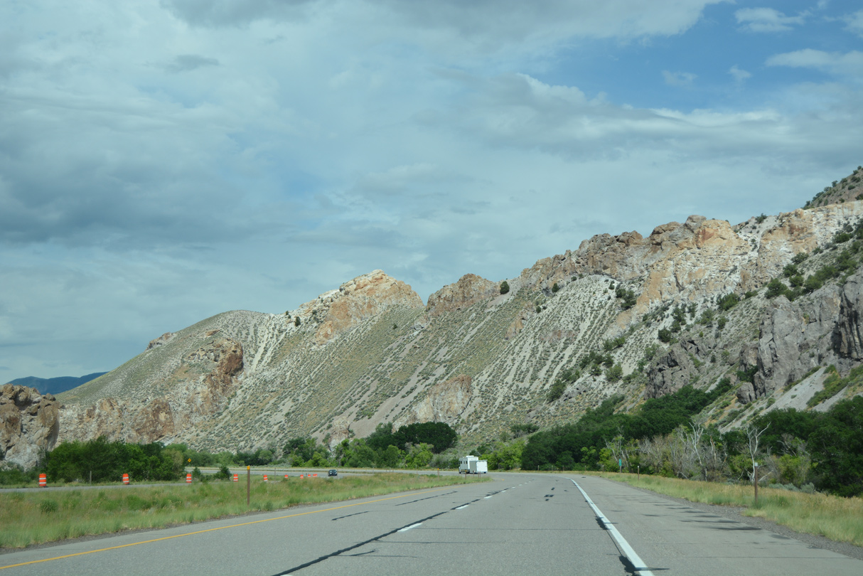
Interstate 70 east ascends from near Cove Fort across the Pahvant Range.
07/03/16
07/03/16
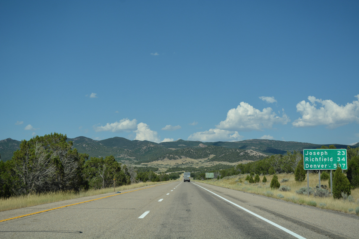
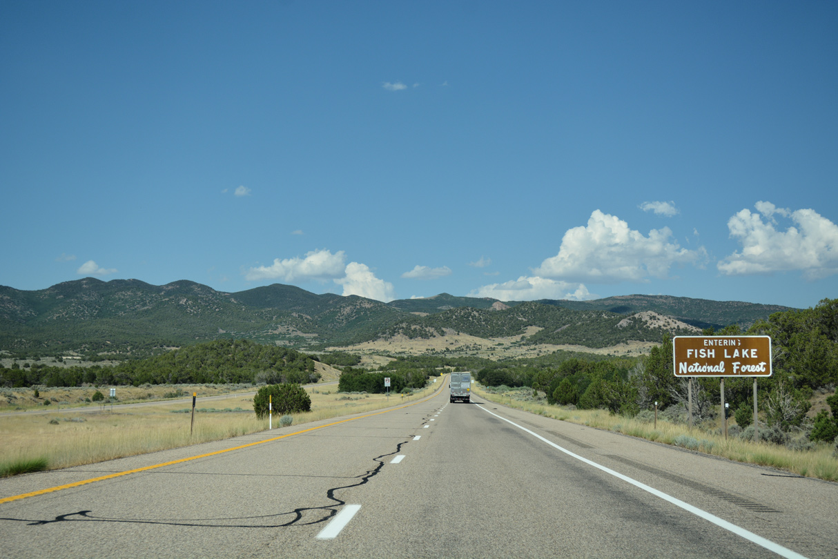
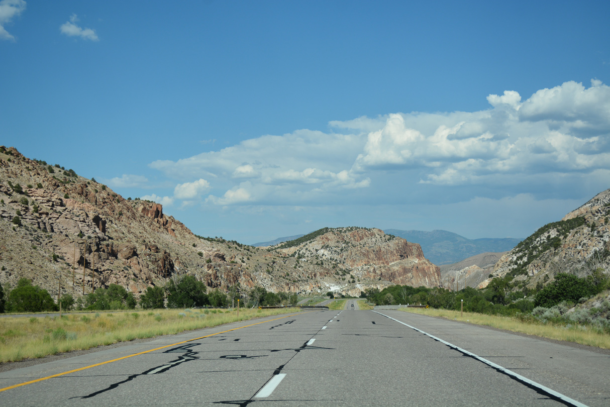
Traversing areas of Fishlake National Forest, Interstate 70 travels 23 miles to the town of Joseph.
07/15/17
07/15/17
07/15/17
07/15/17
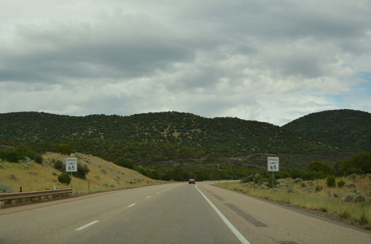
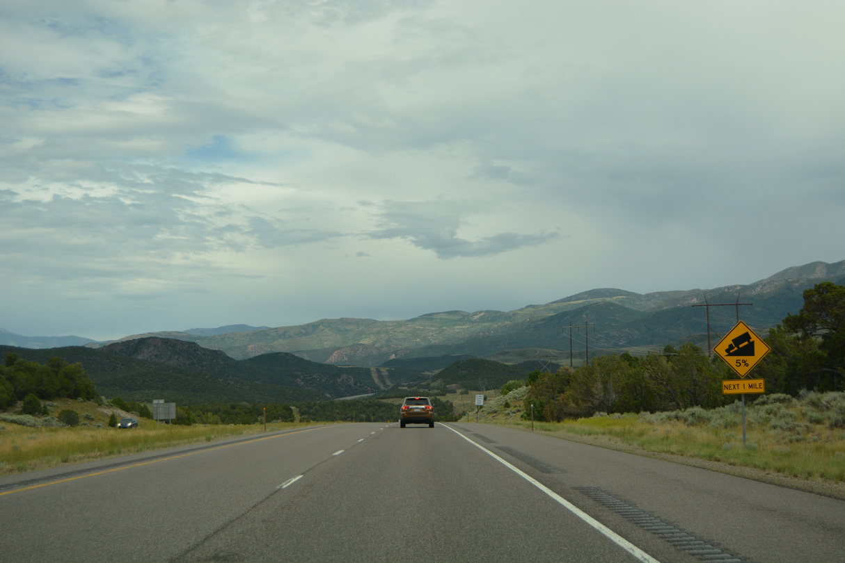
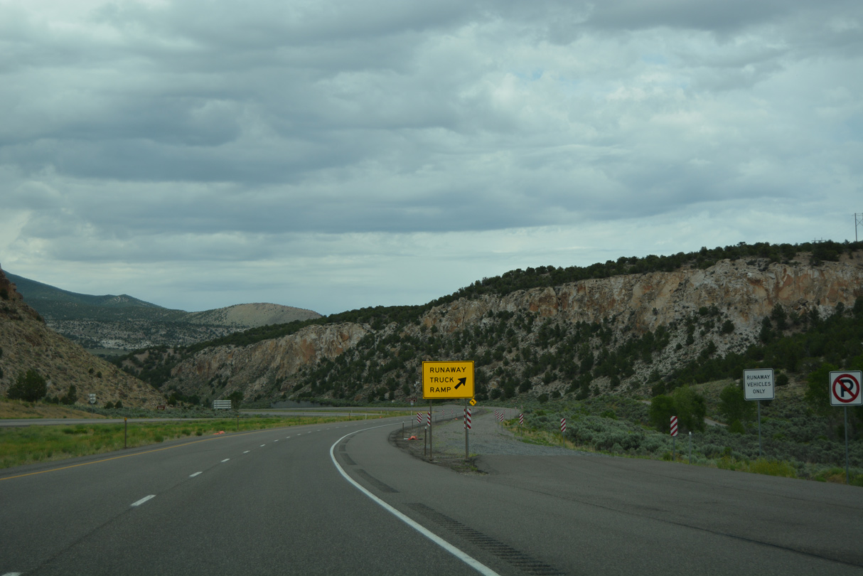
The speed limit along Interstate 70 decreases eastbound at Bear Canyon.
07/03/16
07/03/16
07/03/16
07/03/16
07/15/17
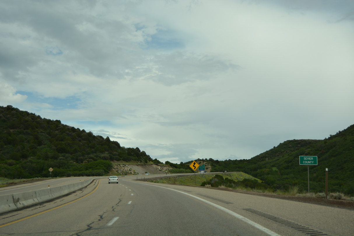
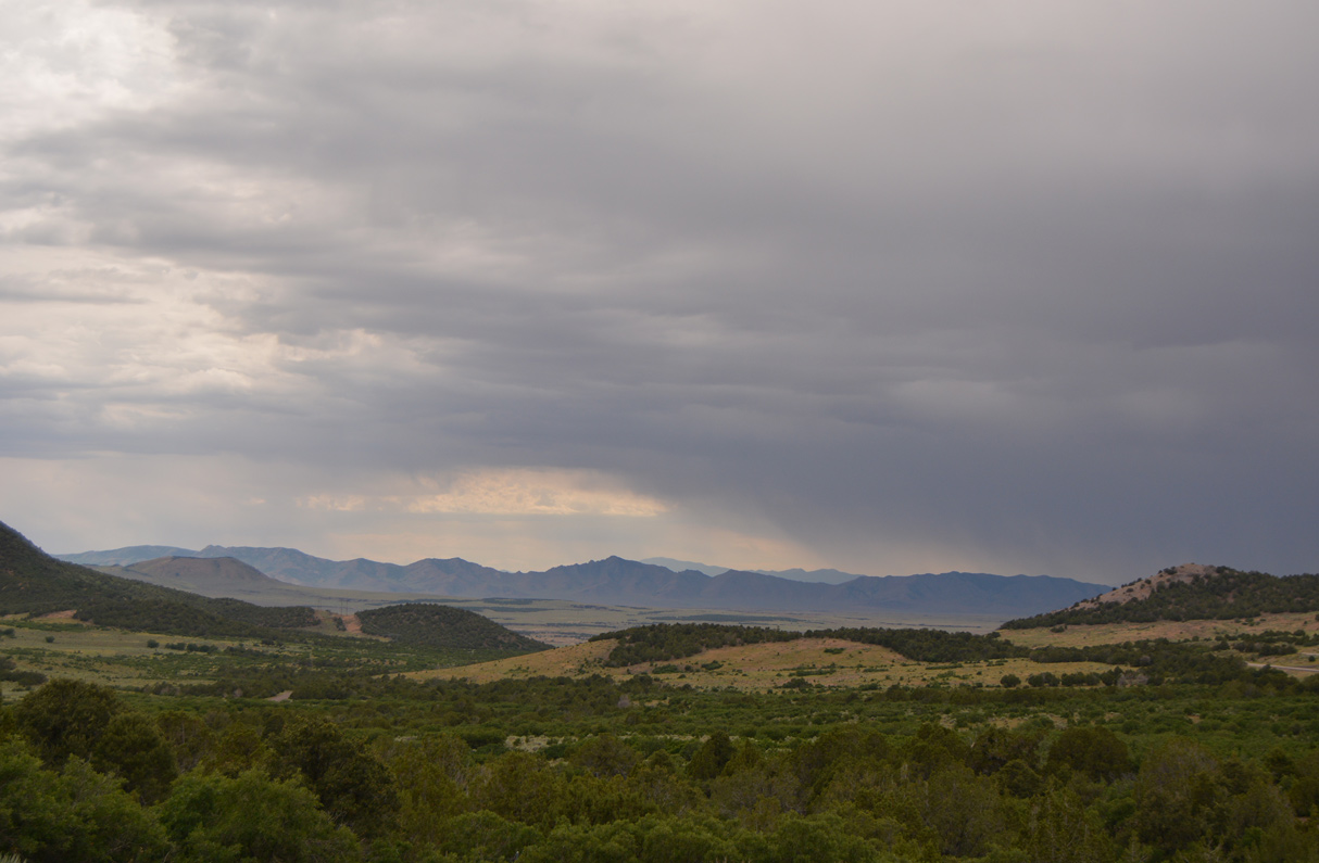
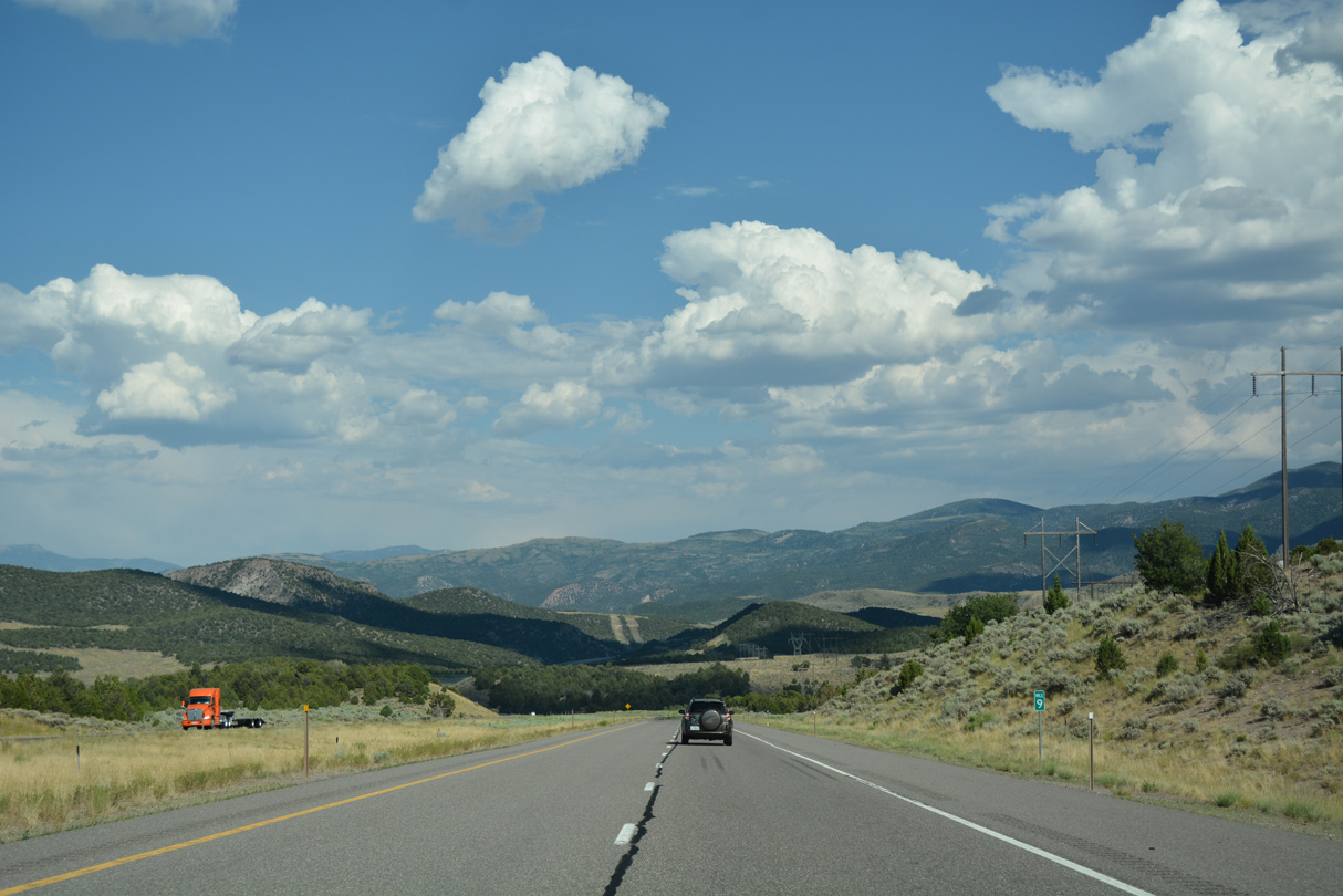
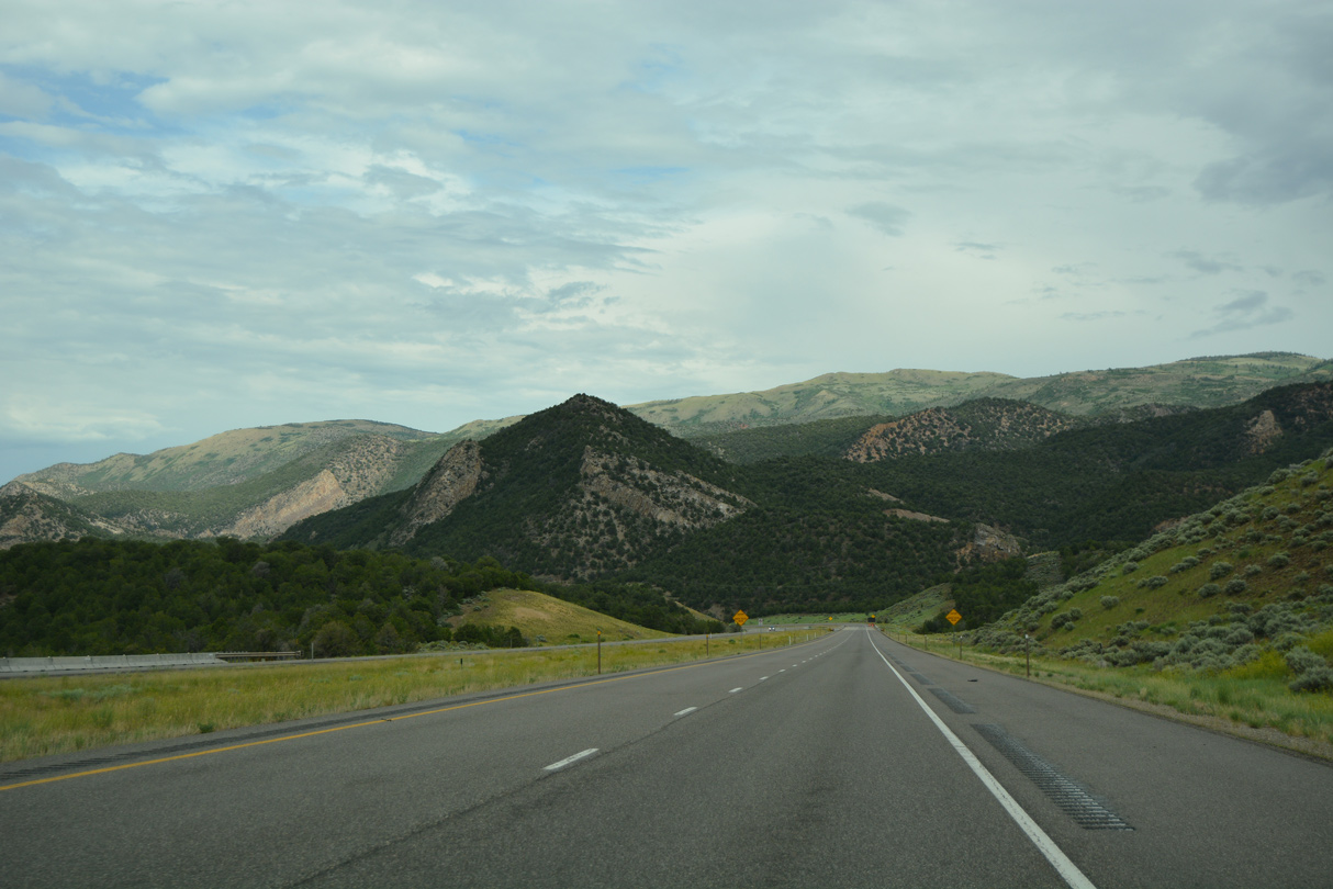
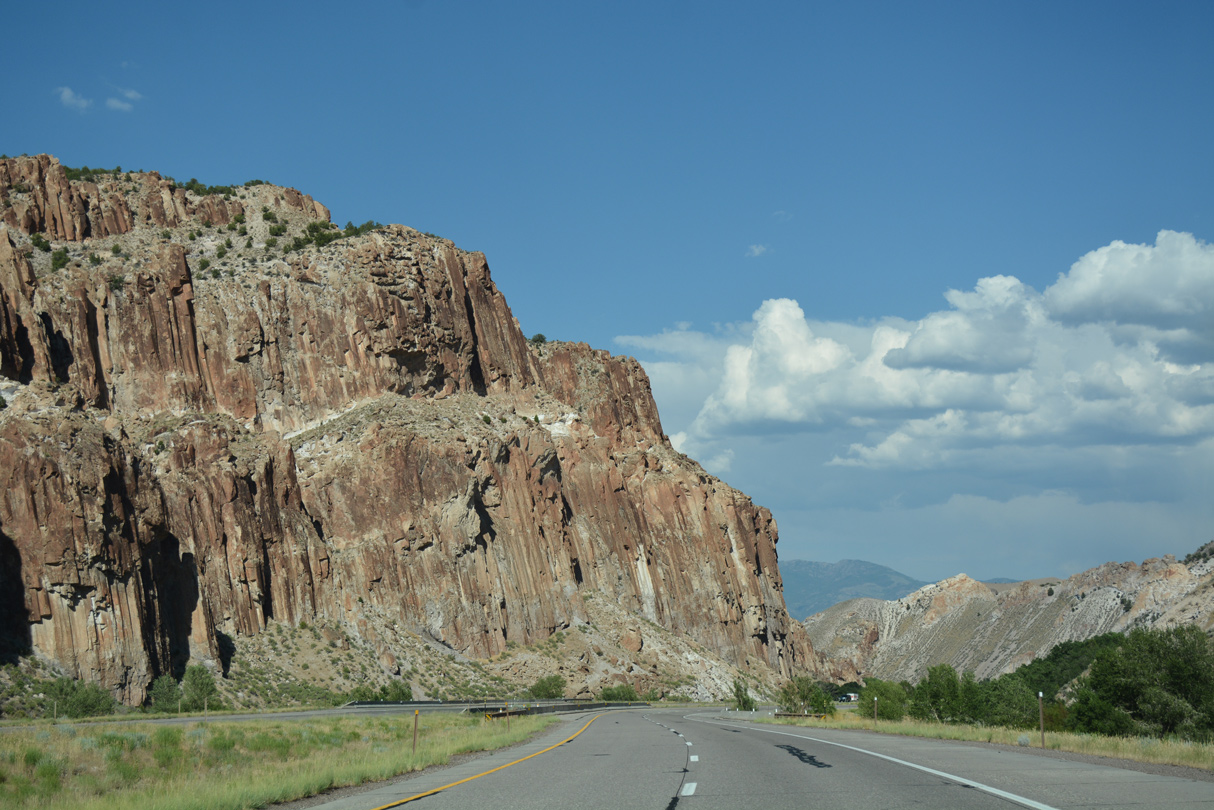
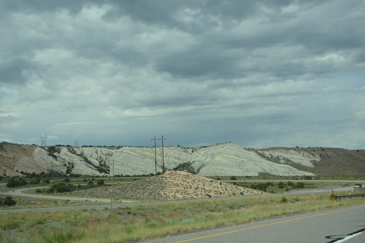
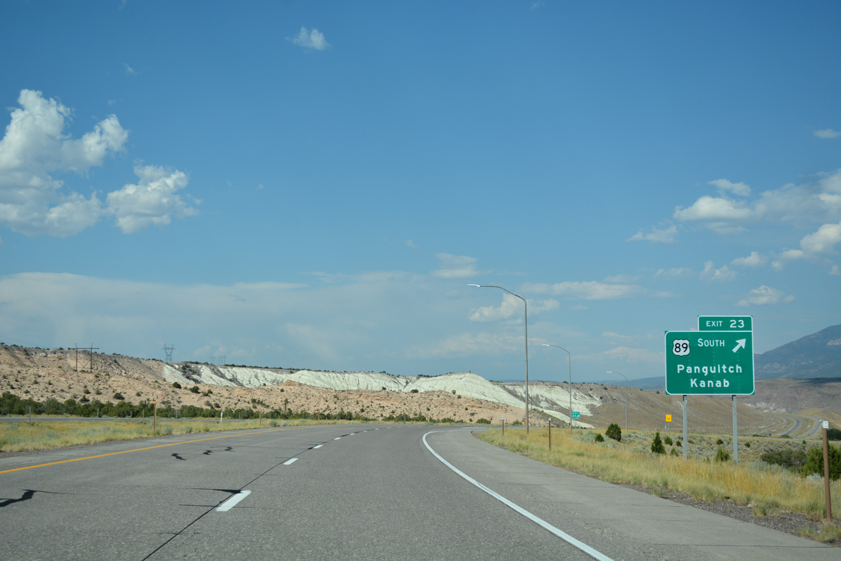
Advancing south from Bear Canyon, Interstate 70 crosses the Sevier County line.
07/03/16
07/03/16
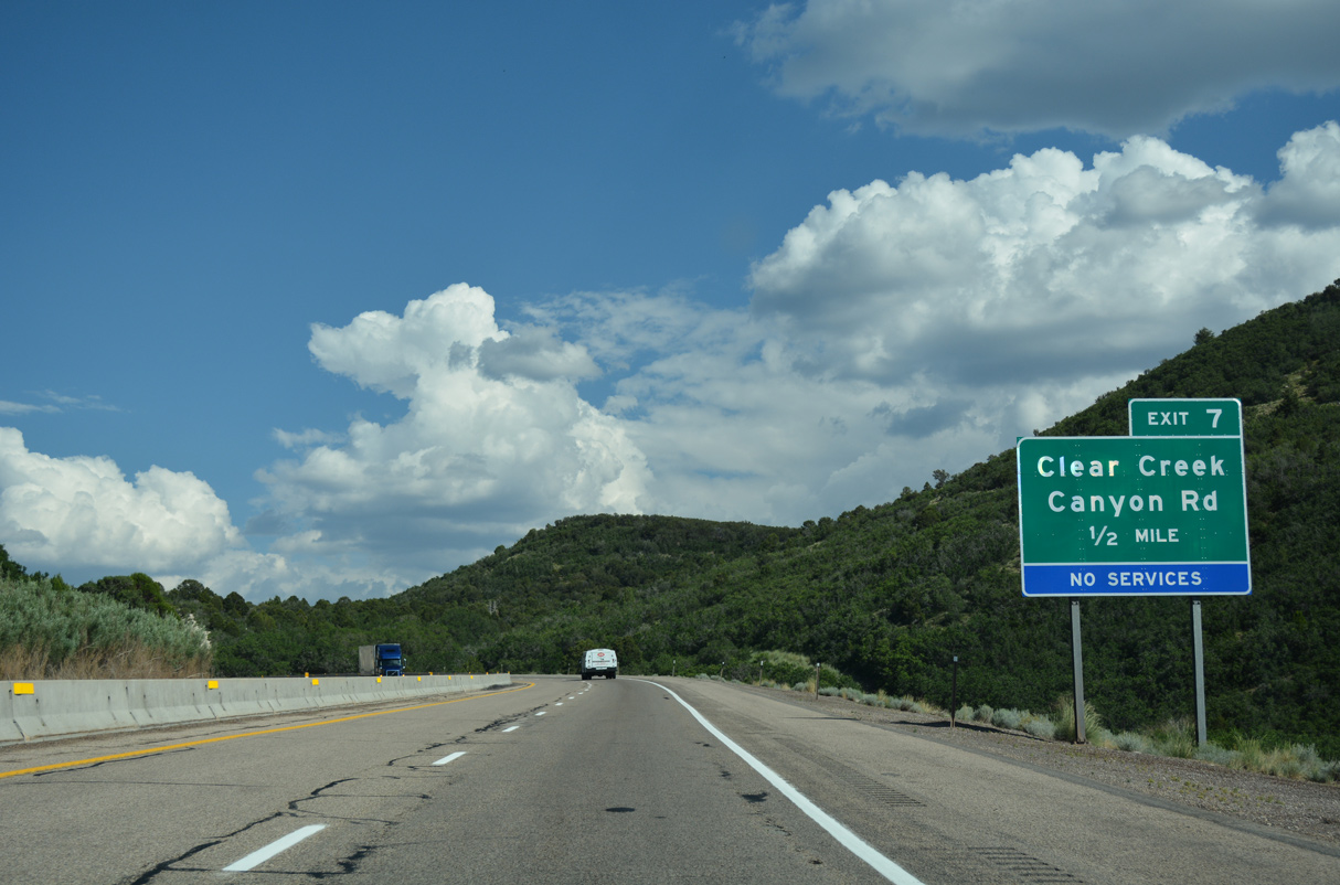
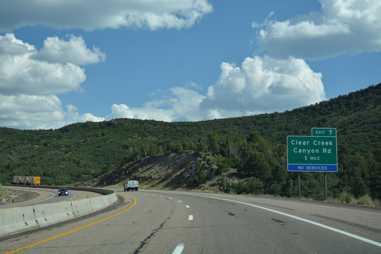
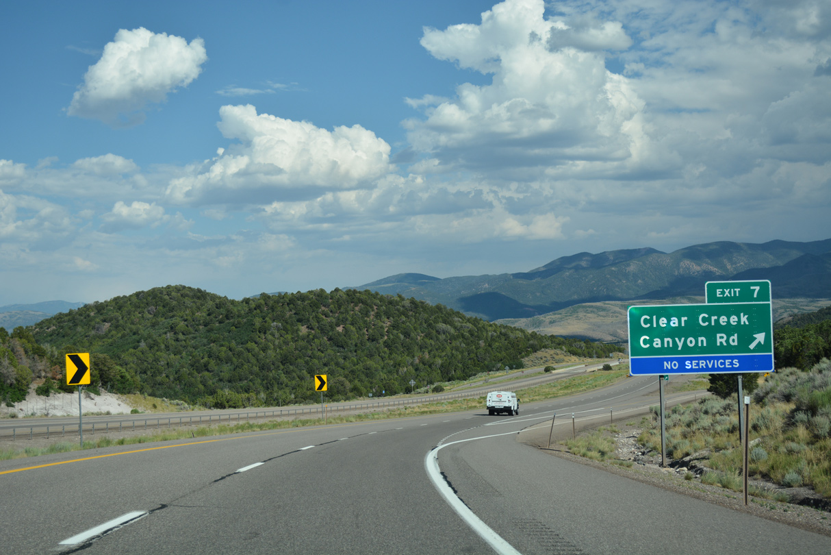
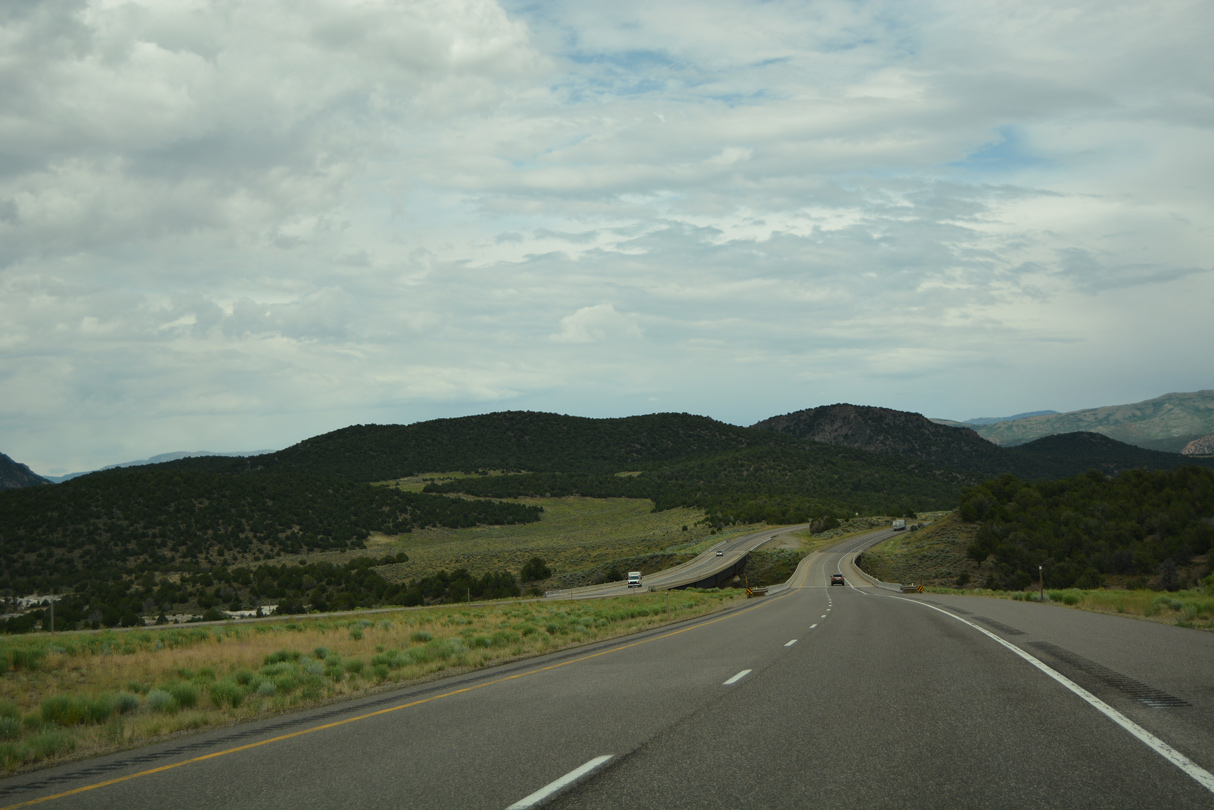
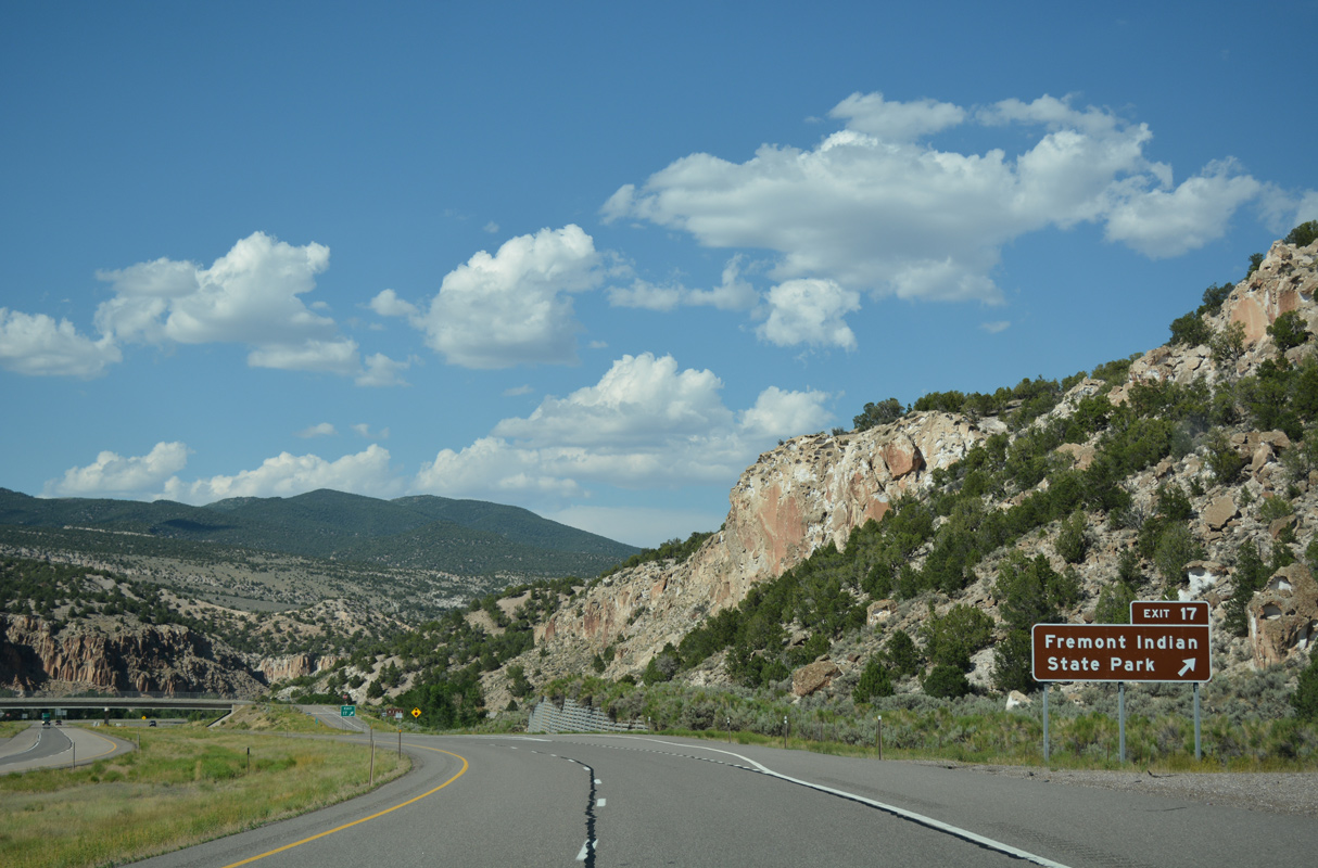
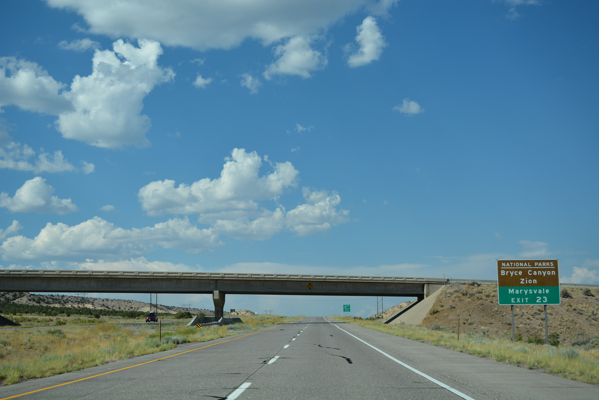
A diamond interchange joins I-70 with Clear Creek Canyon Road east at Exit 7.
07/15/17
07/15/17
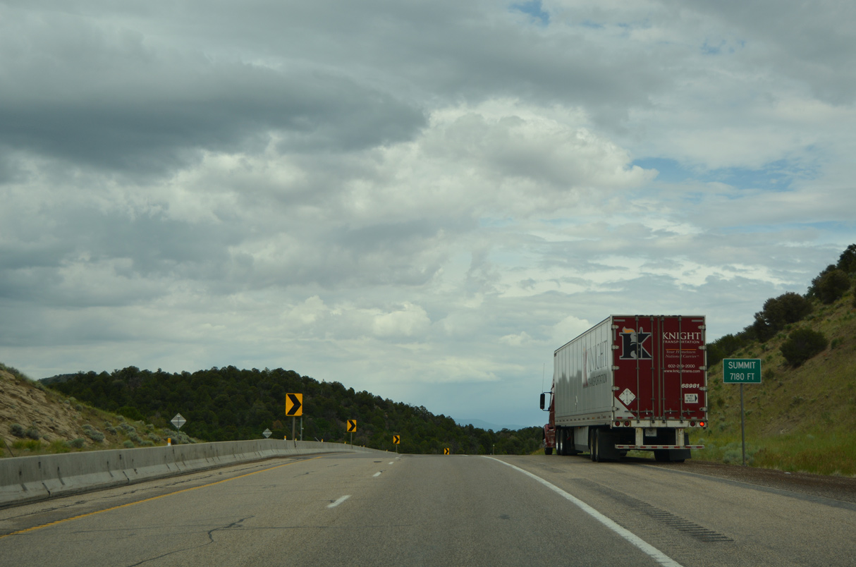
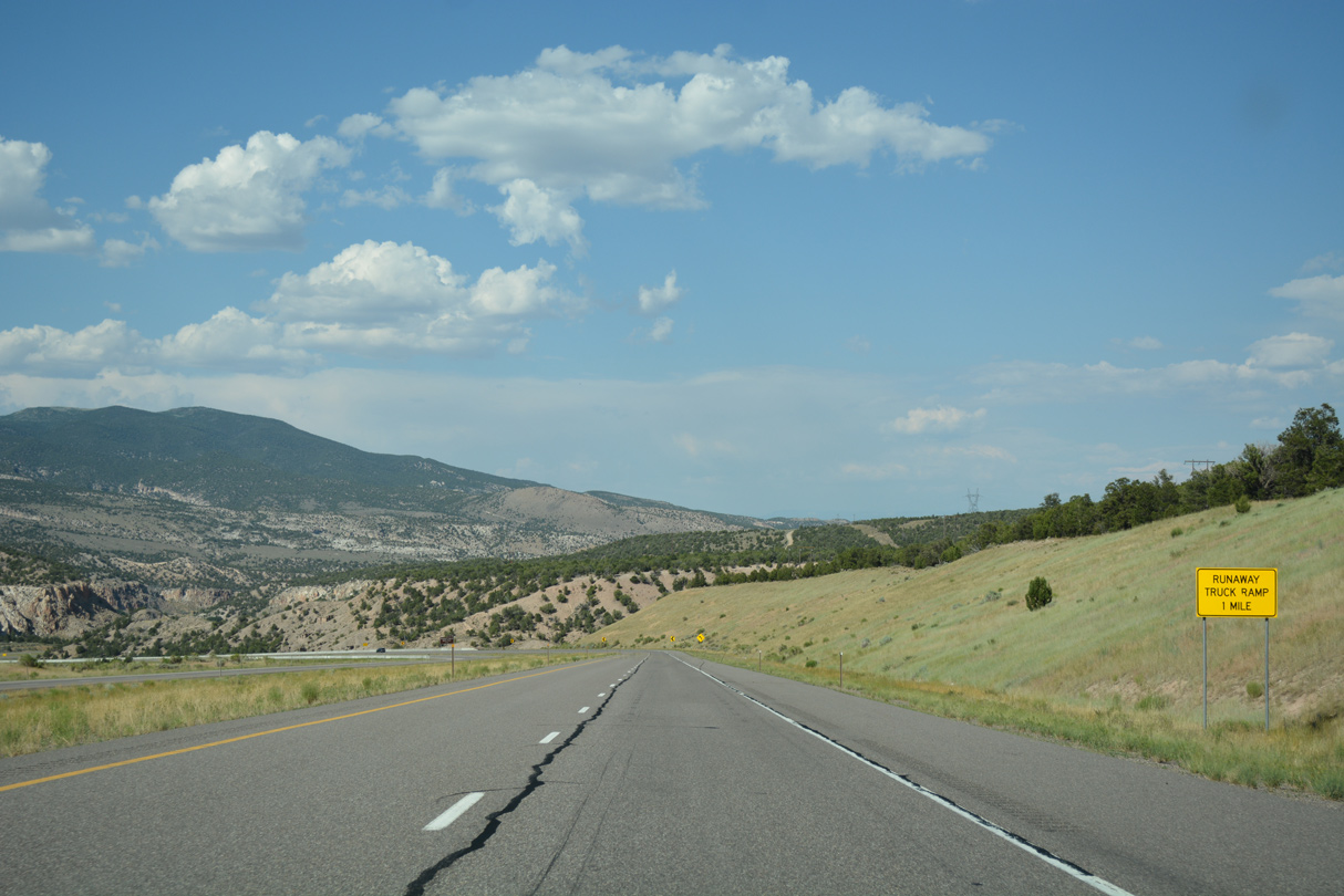
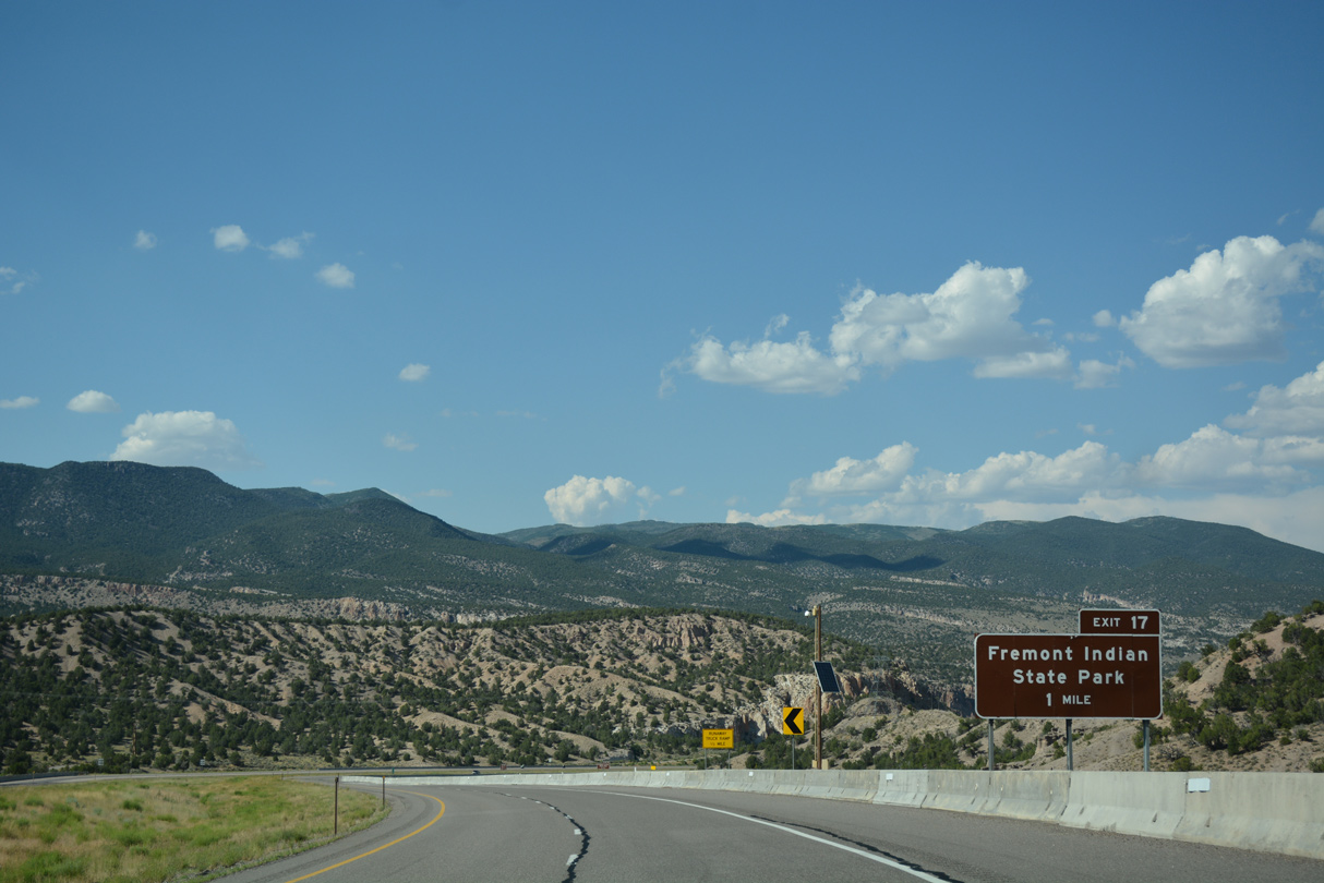
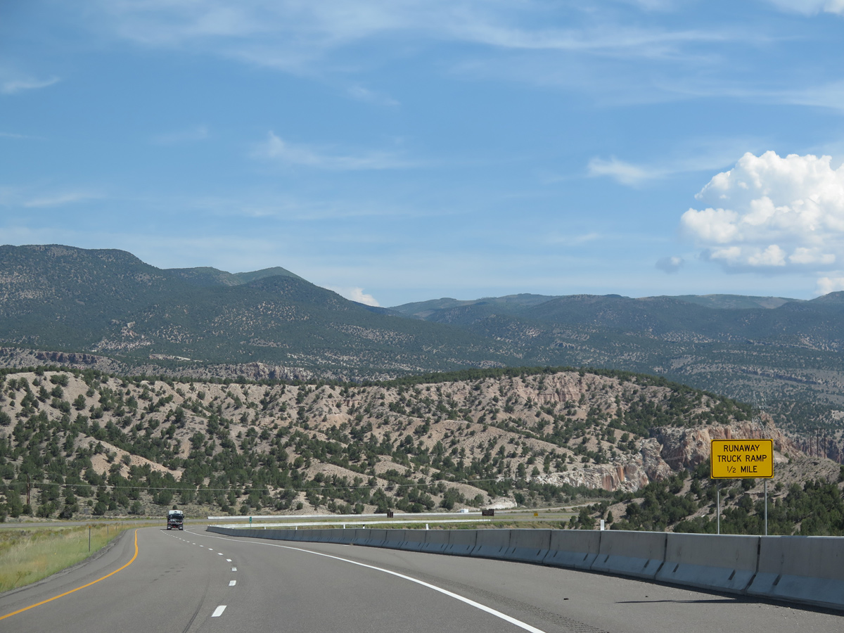
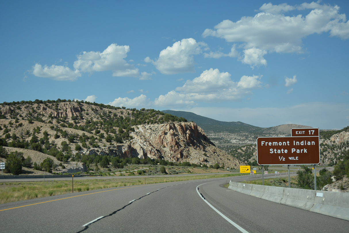
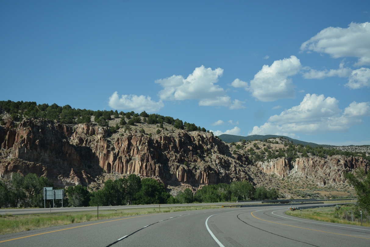
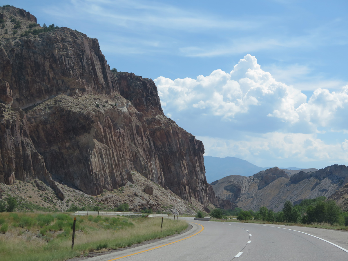
Interstate 70 east reaches a summit of 7,180 feet above sea level ahead of Exit 7.
07/03/16
07/03/16
07/15/17
07/15/17
07/03/16
07/15/17
Interstate 70 crosses Shingle Creek northeast of Snow Canyon.
07/03/16
07/03/16
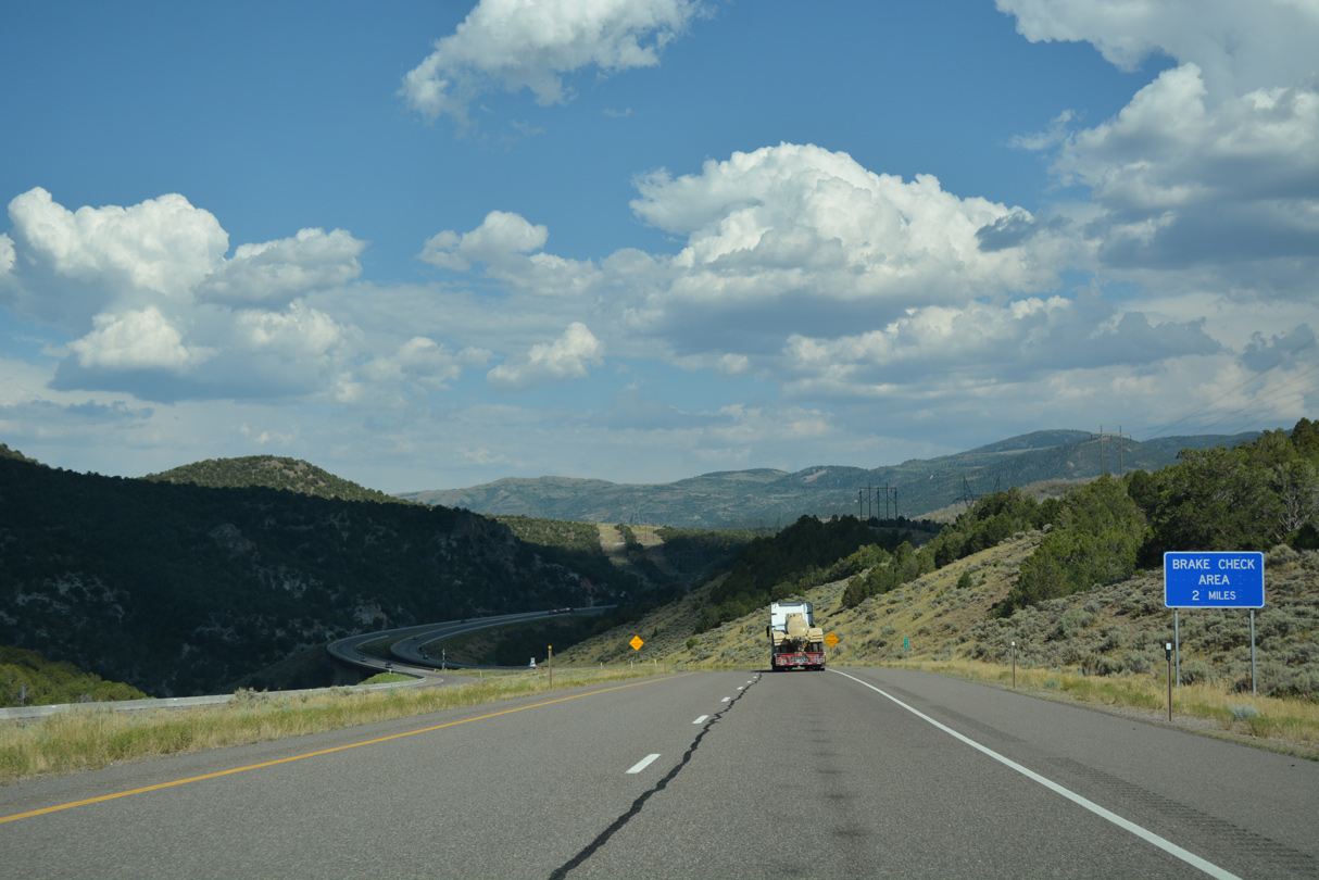
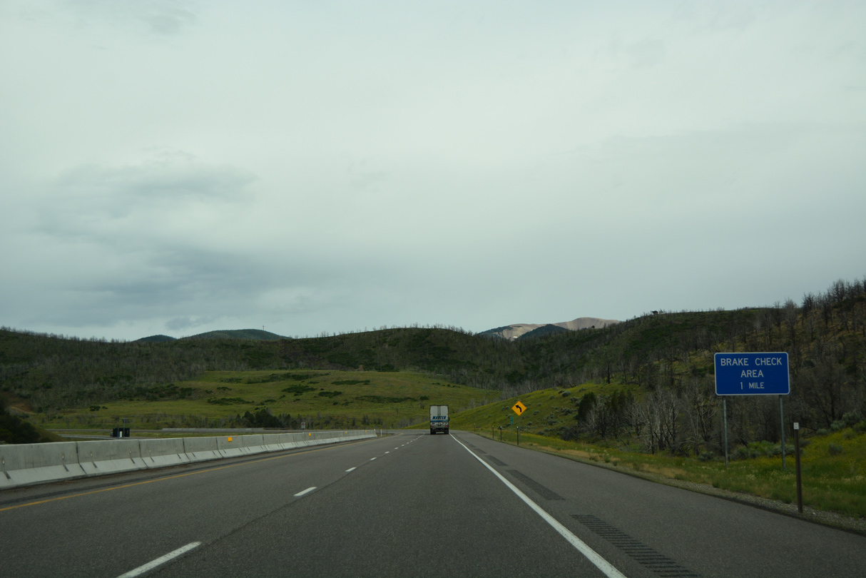
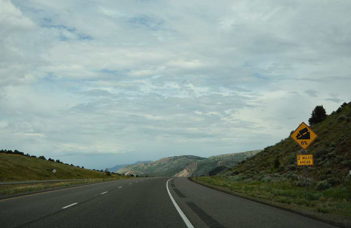
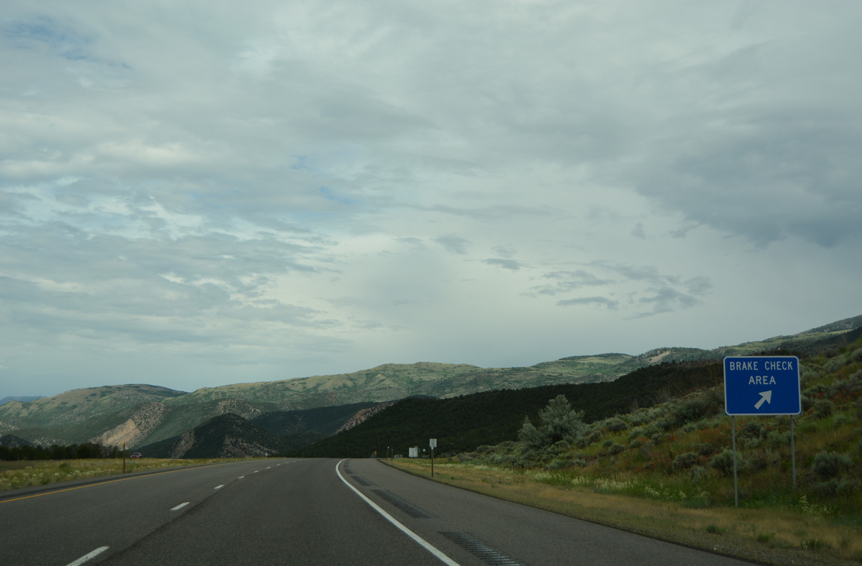
An eastbound brake check area follows the bridges spanning Fish Creek.
07/15/17
07/15/17
07/15/17
07/03/16
07/03/16
07/03/16
07/03/16
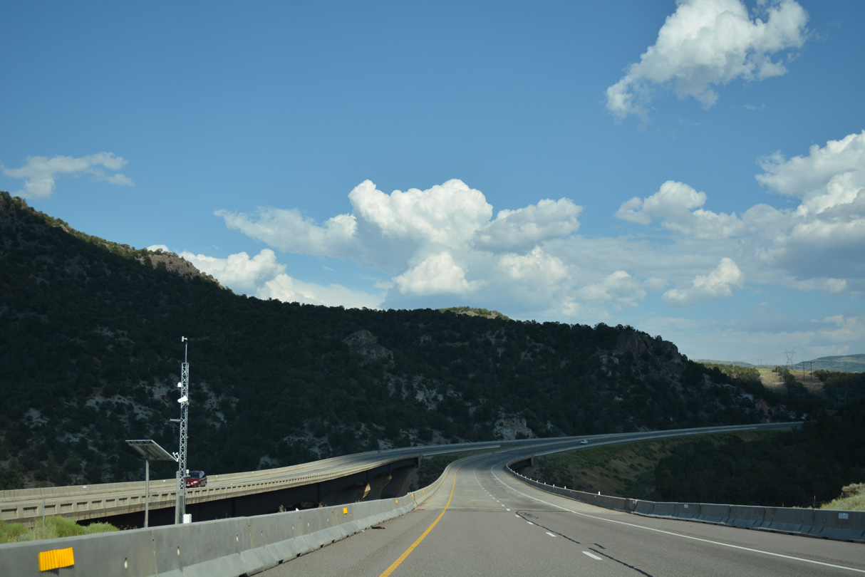
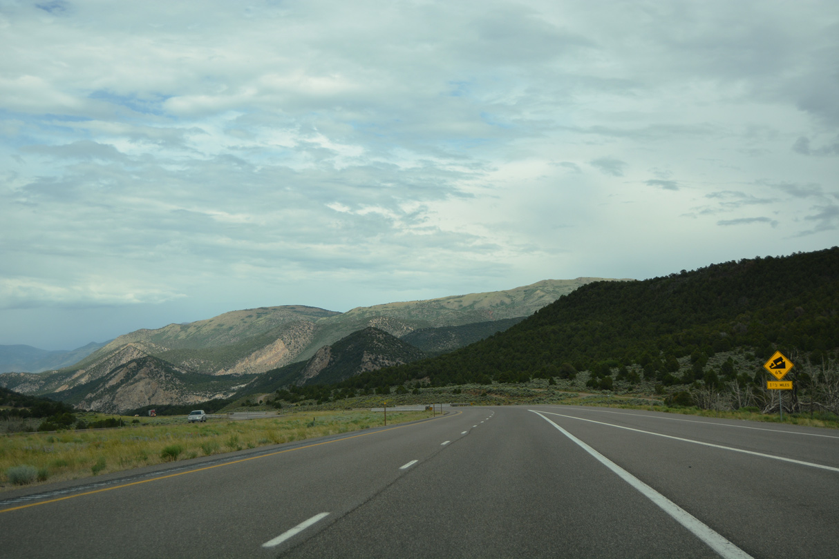
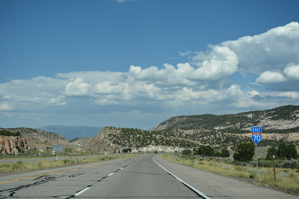
Interstate 70 lowers to cross Mill Creek northeast of Sevier Canyon.
07/03/16
07/03/16
07/15/17
07/15/17
07/15/17
08/19/14
07/15/17
07/03/16
07/15/17
07/15/17
07/15/17
08/09/14
07/15/17
07/15/17
08/09/14
07/03/16

07/03/16
07/15/17

07/03/16
07/03/16
07/15/17
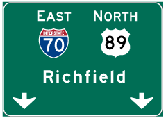
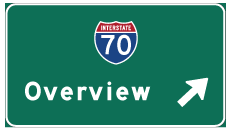
Photo Credits:
- Alex Nitzman: 07/03/16
- Brent Ivy: 07/15/17
- Andy Field: 08/09/14, 08/19/14
Connect with:
Page Updated Monday October 11, 2021.