
Utah Road & Highway Photo Guides

This sitemap to road and highway photo guides for Utah.
Route Categories
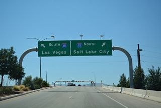
Interstates
5 routes, 3,673 photos
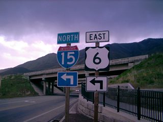
U.S. Highways
8 routes, 229 photos
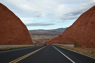
State Routes
43 routes, 597 photos

Other Roads
1 routes, 17 photos
Photo Coverage of Roads and Highways in Utah
AARoads documents highways and roads across Utah with route-by-route photo guides organized by direction of travel. Coverage includes Interstate Highways, U.S. Routes, Utah State Routes, and select named roads.
Photo guides focus on highway signage, interchanges, route markers, city limit signs, county lines, and notable points of interest along each route. Coverage ranges from highways traversing the open deserts in western Utah, scenic roads at the various National Parks and mountainous routes penetrating the Wasatch Range.
New and updated photos for Utah routes are added periodically and cataloged on the updates page.
City/Area Guides

Salt Lake City
15 PhotosUtah Street Numbering
Many Utah towns were settled by Mormon pioneers, and the street grid pattern established by these pioneers remains the most common urban layout in Utah cities and towns. Usually numbered with the cardinal direction, such as "2600 South", the street numbering system increases outward from the city center. Every street numbered 1,000 is one mile out, streets numbered 2,000 are two miles out. Grids typically extend outward to a county line or an adjacent municipality.
Utah Interstate Business Routes
The State Road Commission established the policies for signing Business Loops and Spurs in Utah in April 1973. The business routes would only be considered where less than four interchanges are provided for an urban area on the parent route. Business Loops will not exceed six miles in length or impose substantial out-of-direction travel for through traffic. Business Spurs were limited to no more than three miles in length.1
Interstate Business Routes also required at least two automotive service stations open 16 hours a day, seven days a week; at least one restaurant open for breakfast, lunch, and dinner seven days a week; lodging options with at least 10 rooms of hotel or motel space; a pharmacy open at least 12 hours a day, six days a week; and a public telephone.1
Cities meeting this criteria in 1973 and eligible for Business Spur signing included Payson and Springville along I-15, Salina on I-70 and Coalville on I-80. Business Loops could be signed at Beaver, Cedar City, Fillmore, Nephi, Parowan, Spanish Fork and St. George on I-15. Eligible cities along I-70 included Green River and Richfield, Wendover along I-80 and Henefer, Morgan and Tremonton on I-80N.1
Photographic Contributors
Photography by Alex Nitzman, Andy Field, Brent Ivy, Garrett Smith, Jake Bear, Kevin Trinkle and Landry Heaton. Thanks also to Landry Heaton and Garrett Smith for their assistance with the Utah guides.
About Utah
- Capital:
 Salt Lake City
 - Nickname: Beehive State
- Area: 84,898.83 square miles or 219,889 square kilometers, 11th largest
- Statehood: 45th state; admitted January 4, 1896
- Total Interstate Mileage: 938.00 miles
- Highest Point: Kings Peak (east of Kamas in High Uintas Wilderness Area), 13,528 feet above sea level
We use quite a few resources to construct these pages, and we try to keep it up to date (but that is not always the case!). Additional assistance and reference material was provided from some of the AARoads contributors. To complete the AARoads Utah Roads and Highways pages, we have utilized a variety of resources including:
- CountyLemonade on Flickr - Site contributor Garrett Smith.
- @LanRovr0 - Site contributor Landry Heaton.
- U.S. Census for population figures, geographical size, and demographic information
- Rand McNally Atlas and Thomas Guides - to confirm exit numbers, exit configurations, and identify street names within urban areas
- Automobile Association of America - for still more map research, especially current and vintage maps
- Utah Department of Transportation (UDOT) Highway Referencing for including mileage, route locations, descriptions, mileposts, exits/interchanges, and various features along the route.
- UDOT Highway Resolutions for all legislative history of various state highways, including applications to AASHTO to add, delete, and modify Interstate and U.S. highways in Utah
- Other resources include personal observations from hundreds of trips around the Beehive State and newspaper articles that are individually cited mostly for ongoing construction projects and completion dates
Last updated: Monday February 28, 2022