
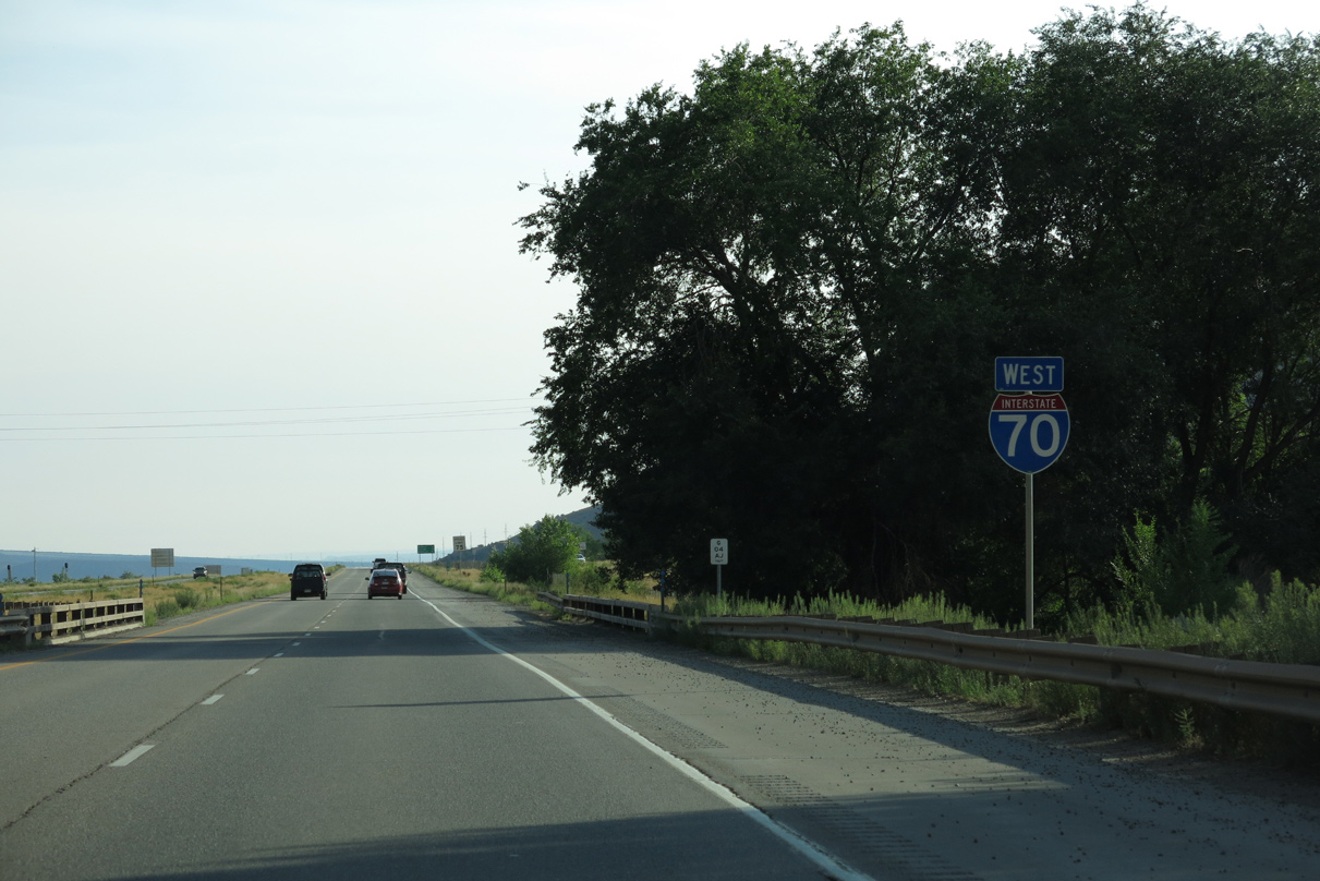
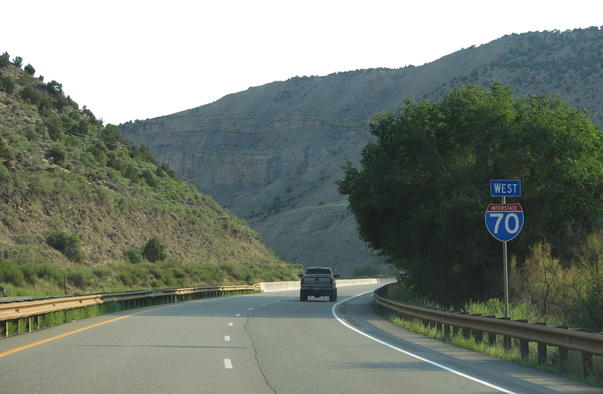
Interstate 70 West - Parachute to Palisade
 West
West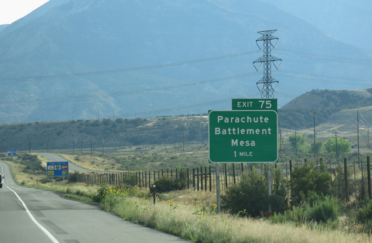
CR 215 (Parachute Creek Road) meets Interstate 70 at a diamond interchange (Exit 75) just outside the Parachute town limits.
08/15/13
08/15/13
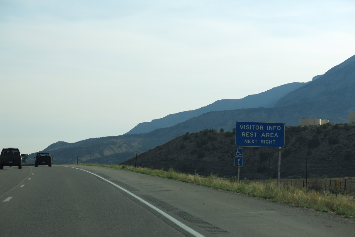
The Parachute Visitor Center and associated rest area lie just west of Exit 75 at U.S. 6 (1st Street) and Green Street.
08/15/13
08/15/13
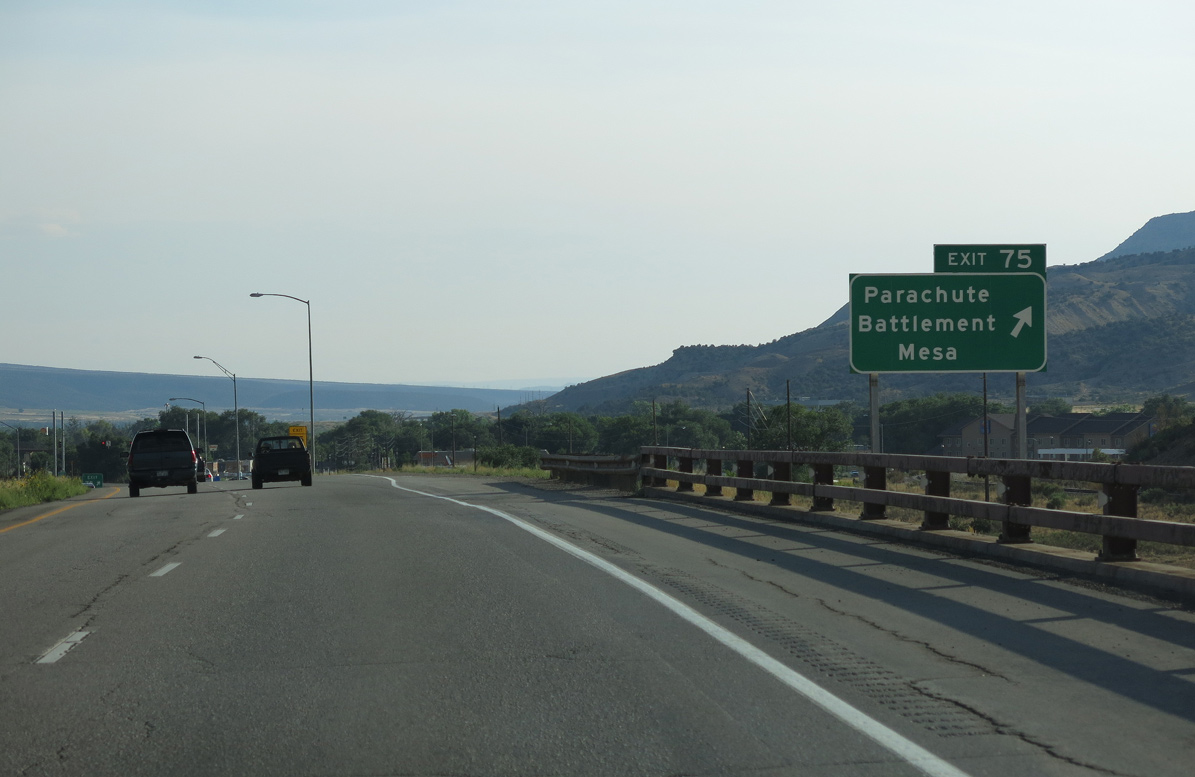
East from Exit 75, CR 215 becomes CR 300 across the Colorado River to Battlement Parkway and the unincorporated town of Battlement Mesa.
08/15/13
08/15/13
08/15/13
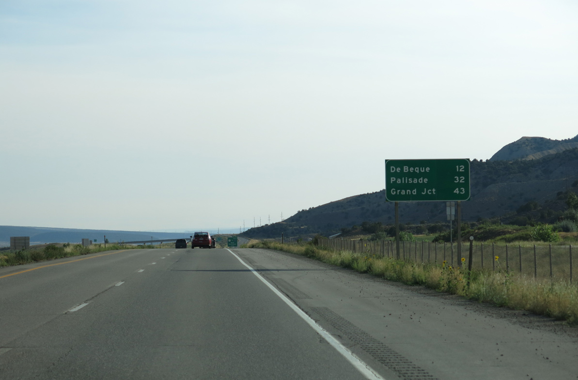
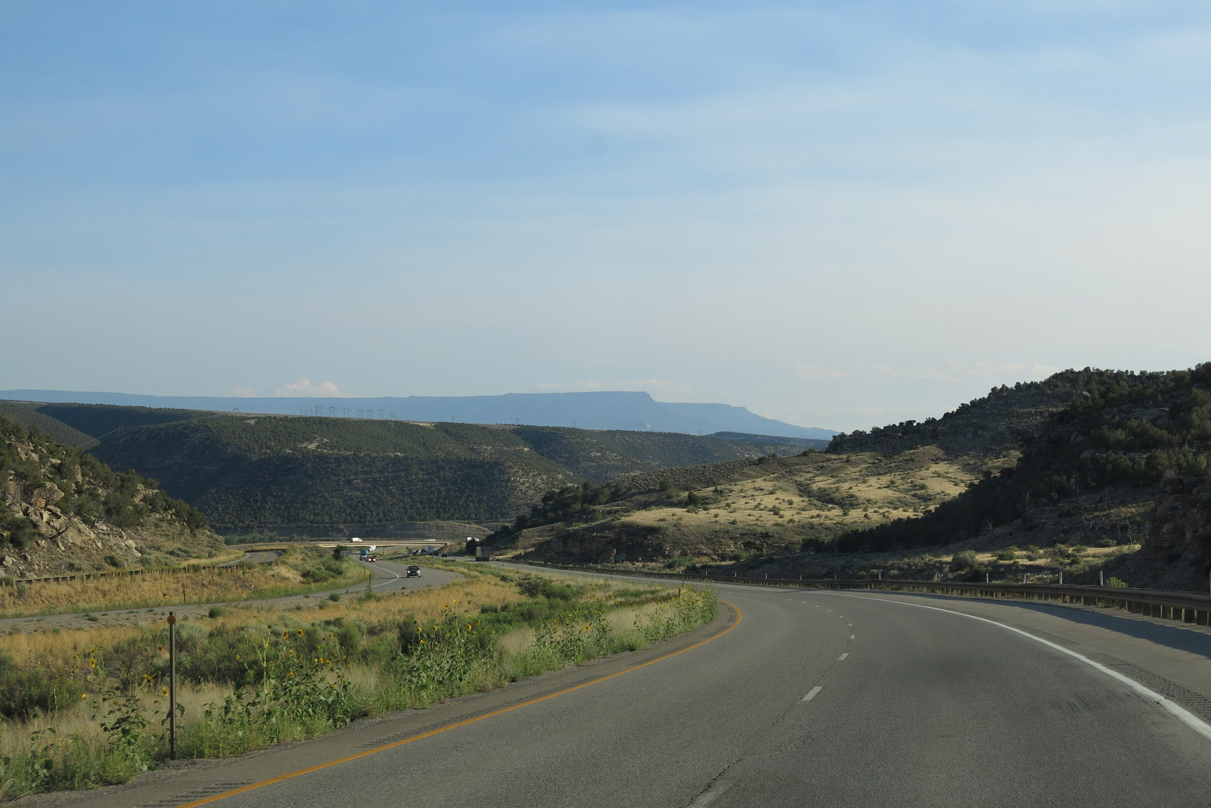
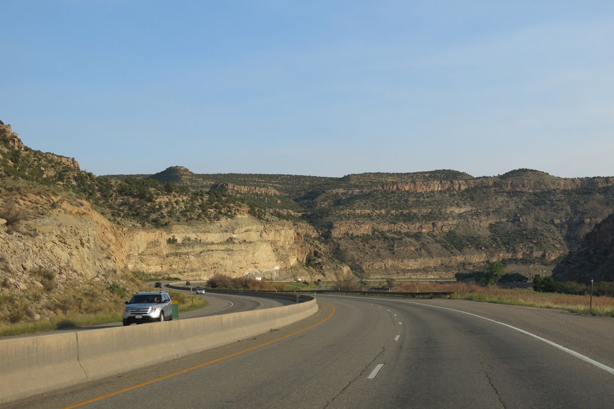
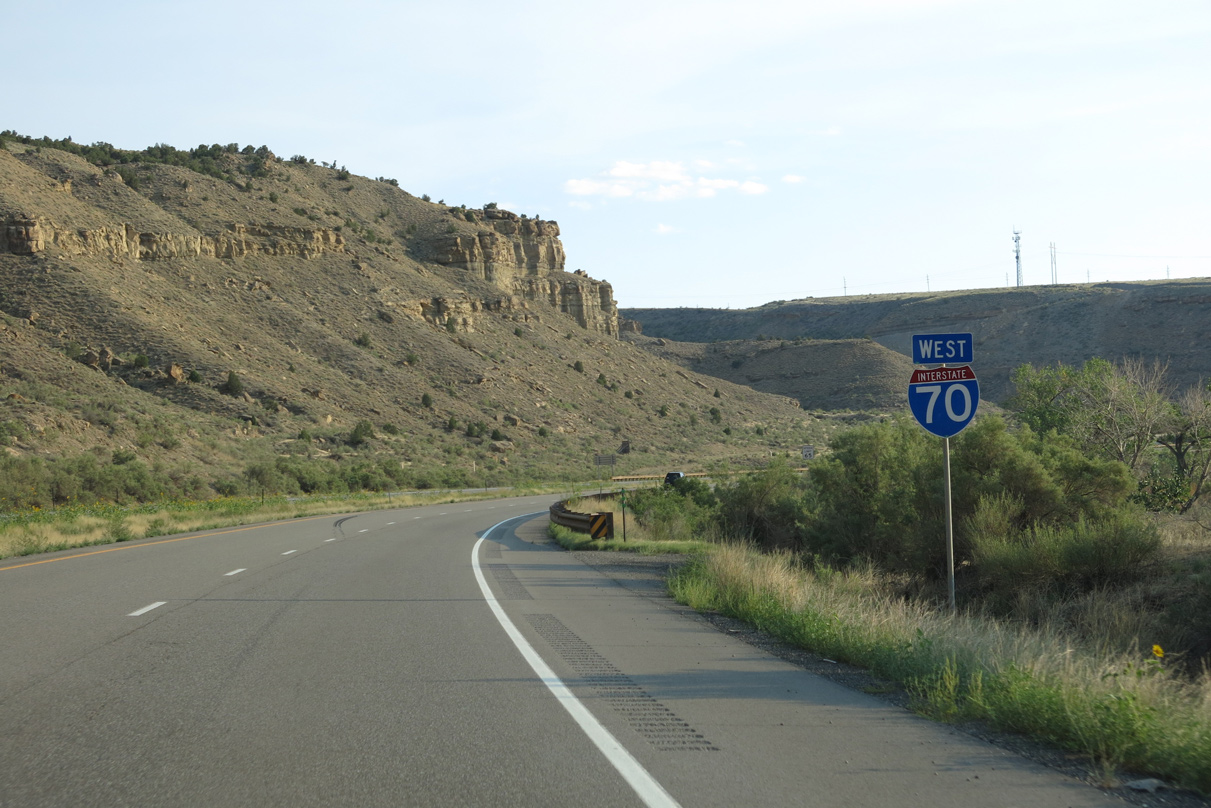
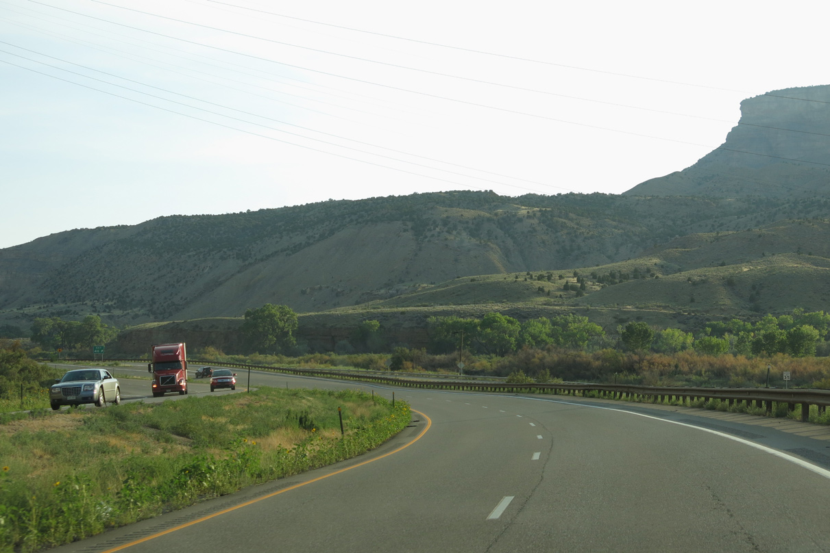
Interstate 70 stays to the west of the parallel Colorado River to just outside the town of De Beque.
08/15/13
08/15/13
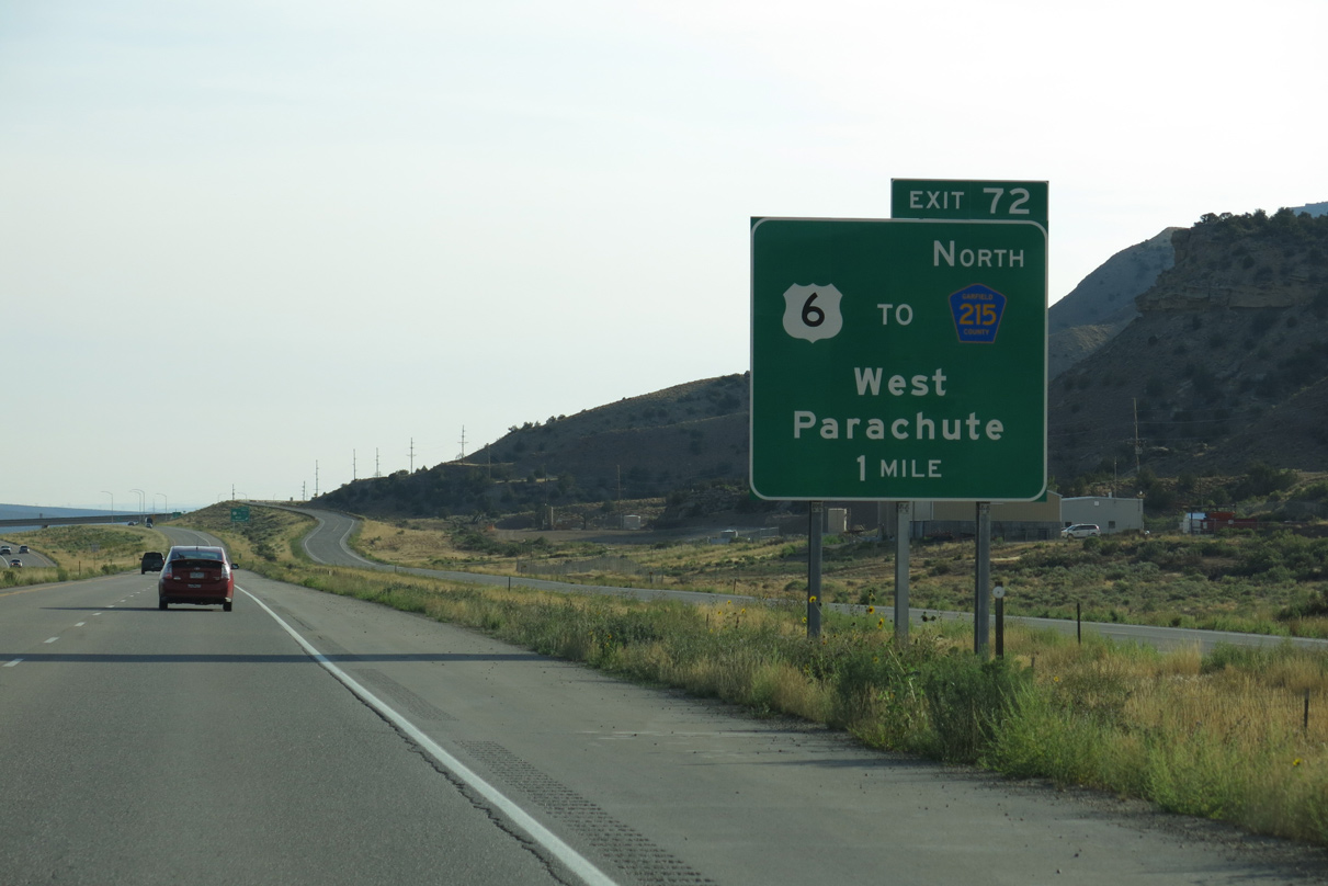
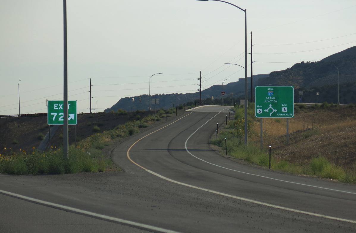
Parallel U.S. 6 shifts to the south side of Interstate 70 at a dumbell interchange (Exit 72) in one mile.
08/15/13
08/15/13
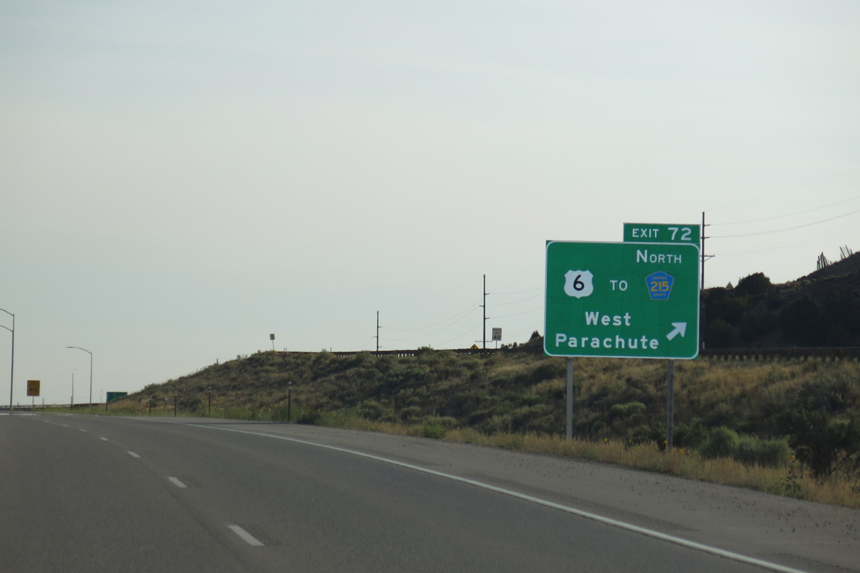
U.S. 6 heads back to the northeast into the town of Parachute, where it connects with Garfield County Route 215.
08/15/13
08/15/13
08/15/13
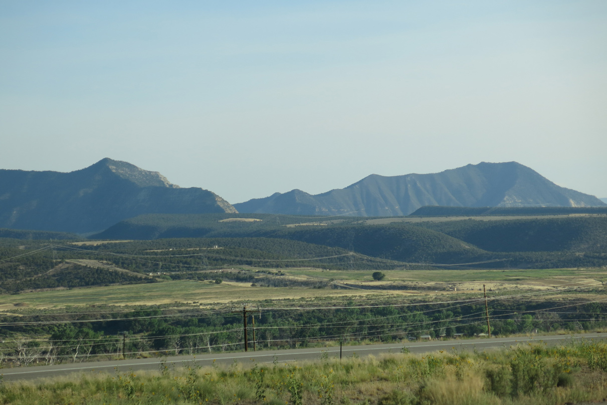
Creek Mesa and Samson Mesa southeast of the Colorado River.
08/15/13
08/15/13
Mount Logan in the Roan Cliffs rises north of Interstate 70.
08/15/13
08/15/13
08/15/13
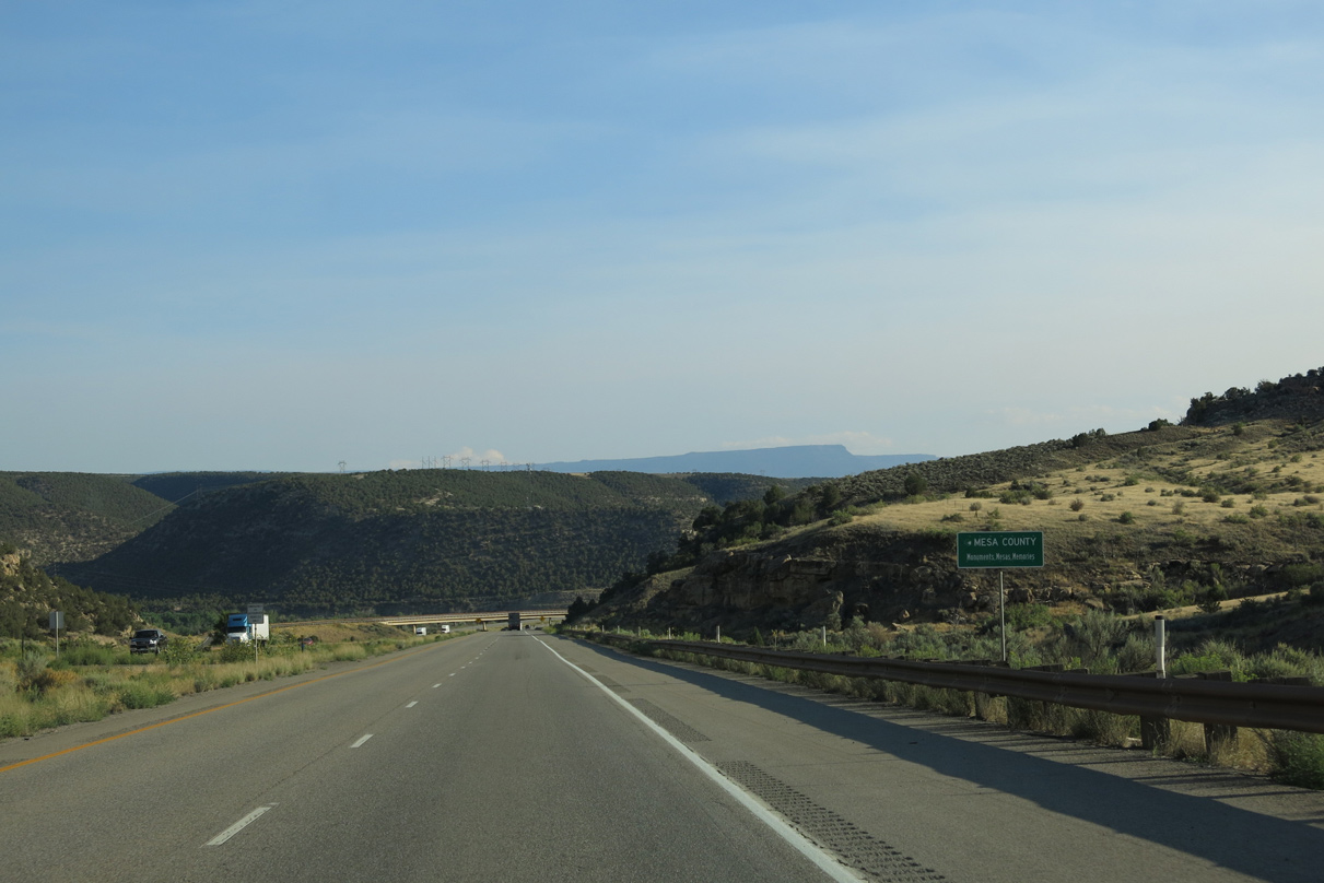
I-70 and adjacent U.S. 6 turn south into Mesa County.
08/15/13
08/15/13

U.S. 6 crosses the Colorado River on a truss bridge along the west side of Interstate 70.
08/15/13
08/15/13
Originating from SH 13 at Rifle, U.S. 6 west along Route 006M concludes at CR 45.5 along the north side of the diamond interchange at Exit 72.
08/15/13
08/15/13
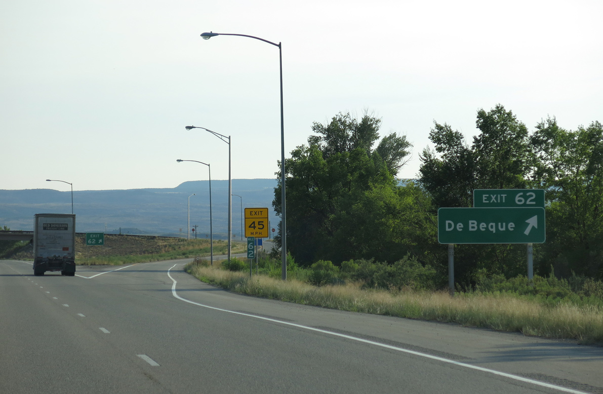
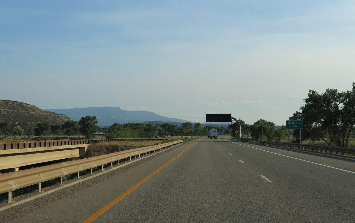
Exit 62 leaves I-70 west for U.S. 6 east and Roan Creek Road north to De Beque. CR 45.5 extends south from the exchange along the Sand Wash past Black Mountain to SH 65 just northwest of SH 330.
08/15/13
08/15/13
 West
West
08/15/13
08/15/13
I-70/U.S. 6 span the Colorado River two more times before entering De Beque Canyon east of Wagon Track Ridge.
08/15/13
08/15/13
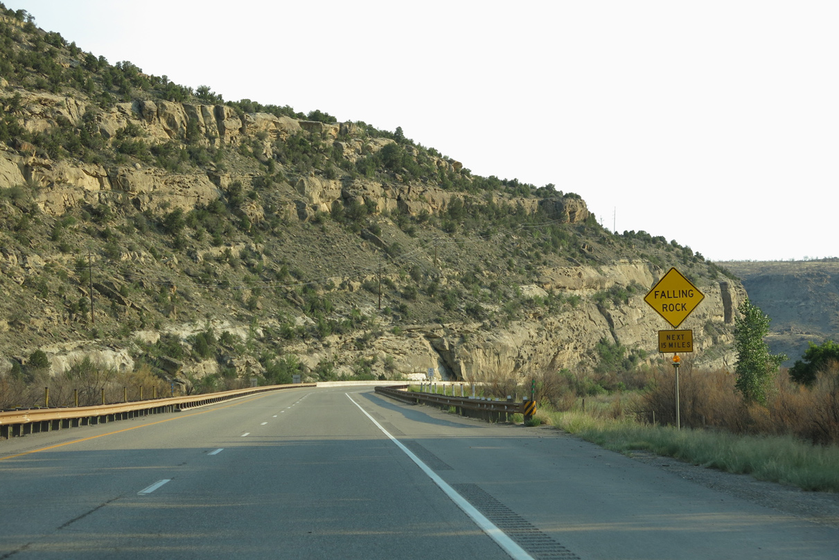
Issues with falling rocks and even landslides have occurred along I-70/U.S. 6 through De Beque Canyon. A significant landslide took place in April 1998, causing damage to the freeway, but fortunately not severe enough to close Interstate 70.1
08/15/13
08/15/13
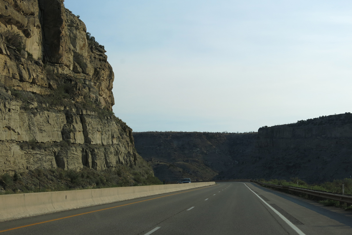
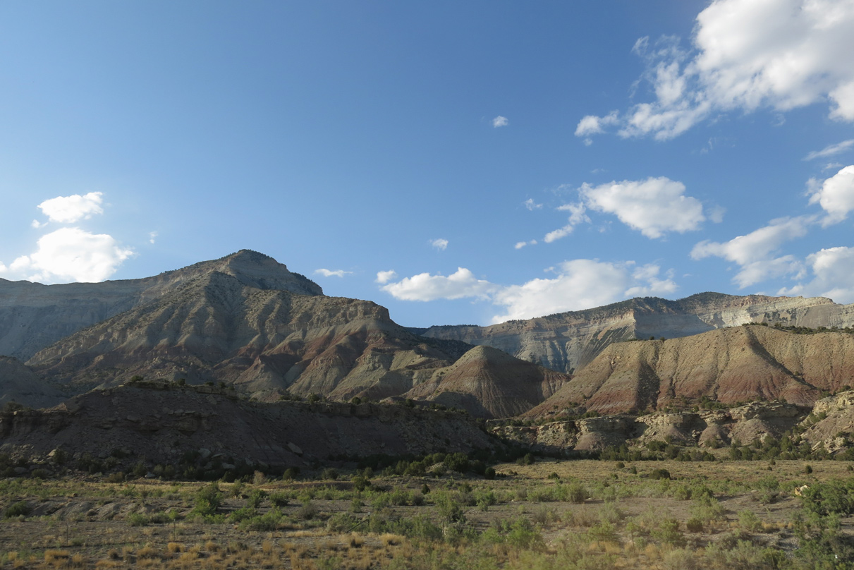
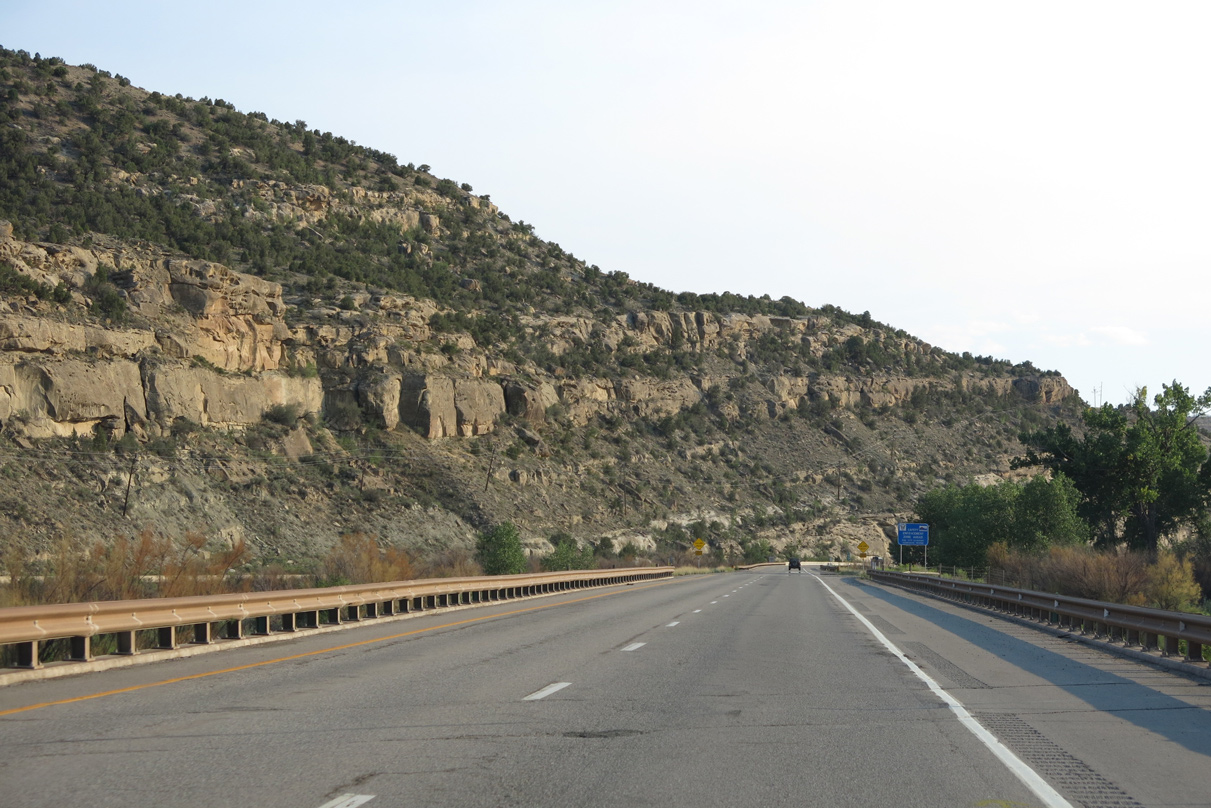
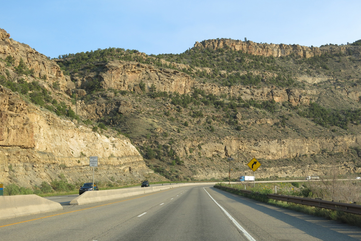
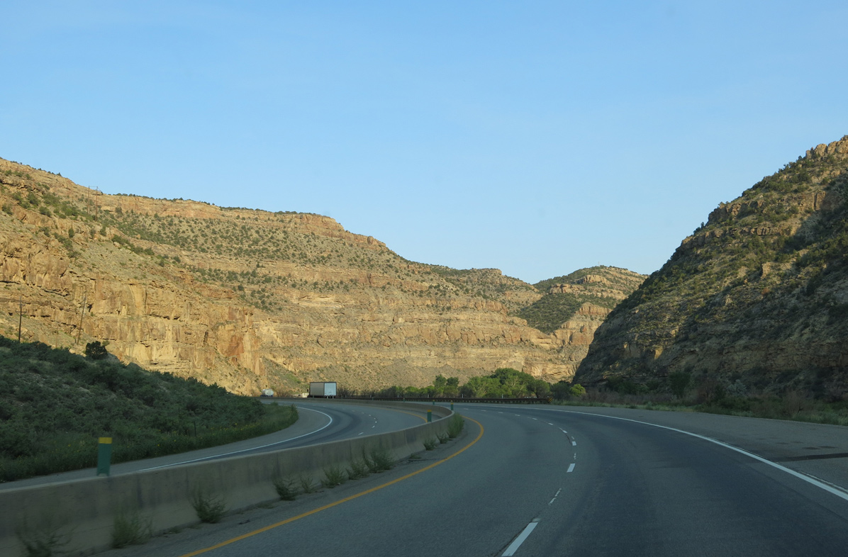
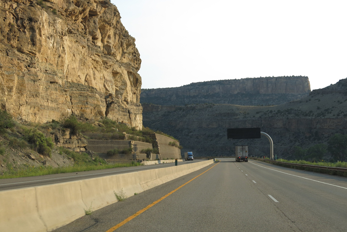
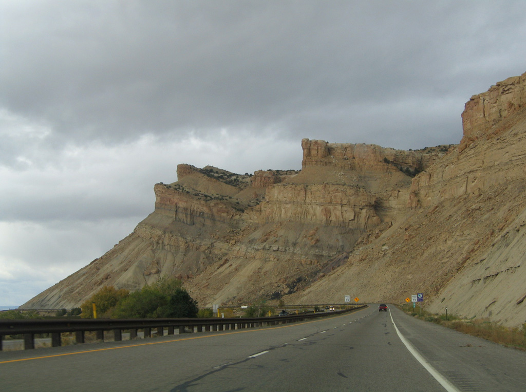
Craggy cliffs and rock formations appear regularly along I-70 as the freeway, Union Pacific Railroad and Colorado River navigate into another narrow canyon. Just like the better known Glenwood Canyon to the east, De Beque Canyon features similar yet different geological features.
08/15/13
08/15/13
I-70 runs through De Beque Canyon nearly 15 miles, from south of the Exit 62 outside De Beque to Exit 44 for the town of Palisade.
08/15/13
08/15/13
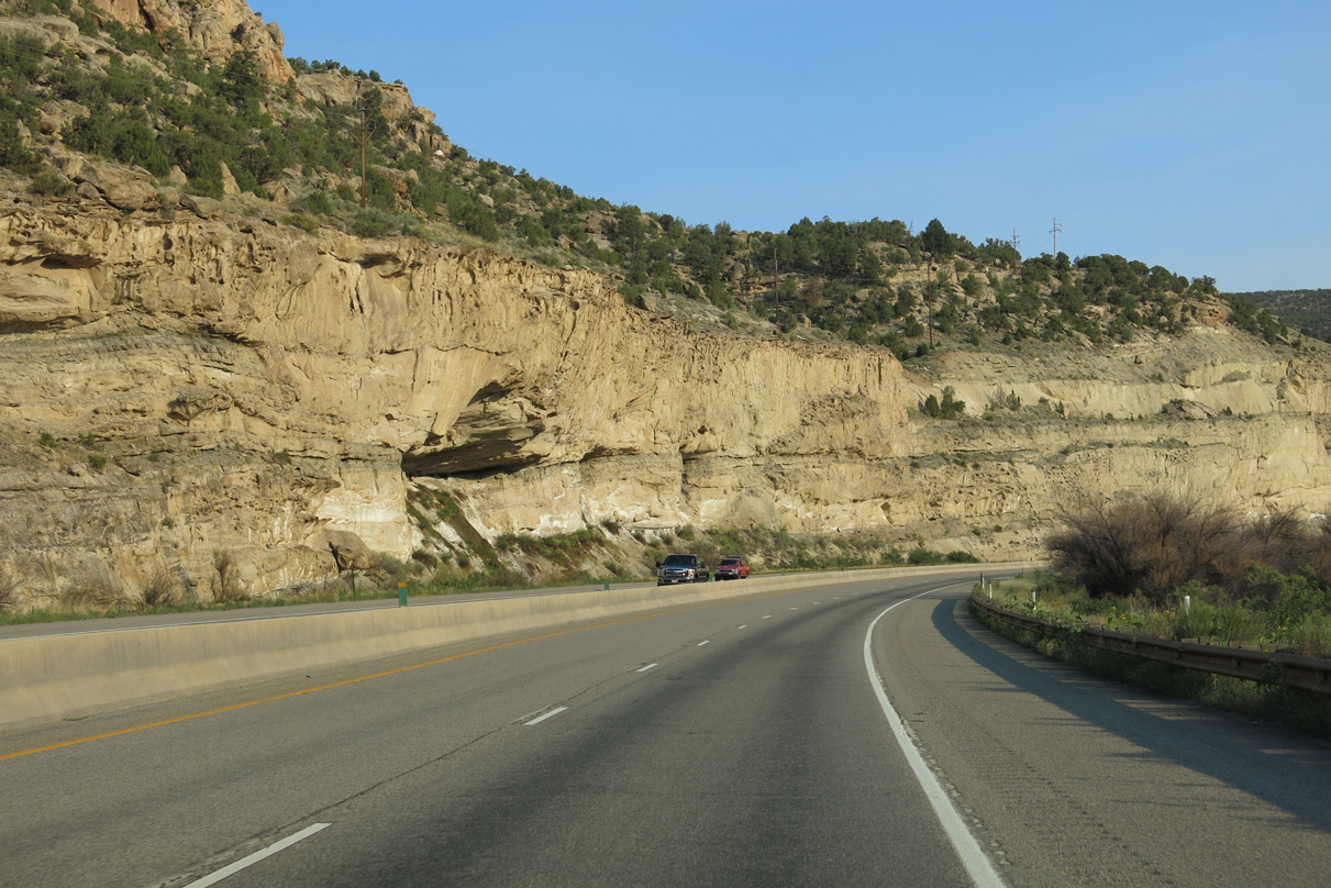
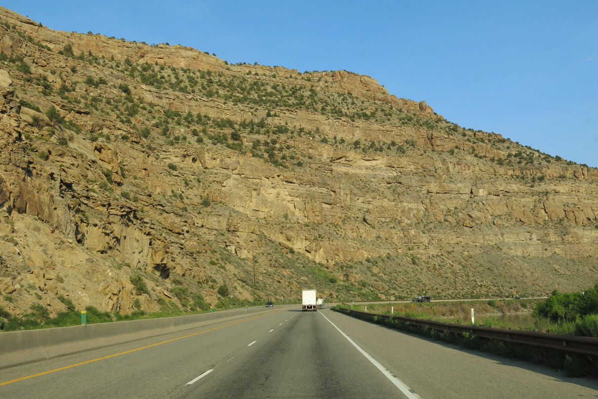
With a concrete barrier median, Interstate 70 runs along the east side of the Colorado River. The old alignment of U.S. 6-24 was generally absorbed into the freeway.
08/15/13
08/15/13
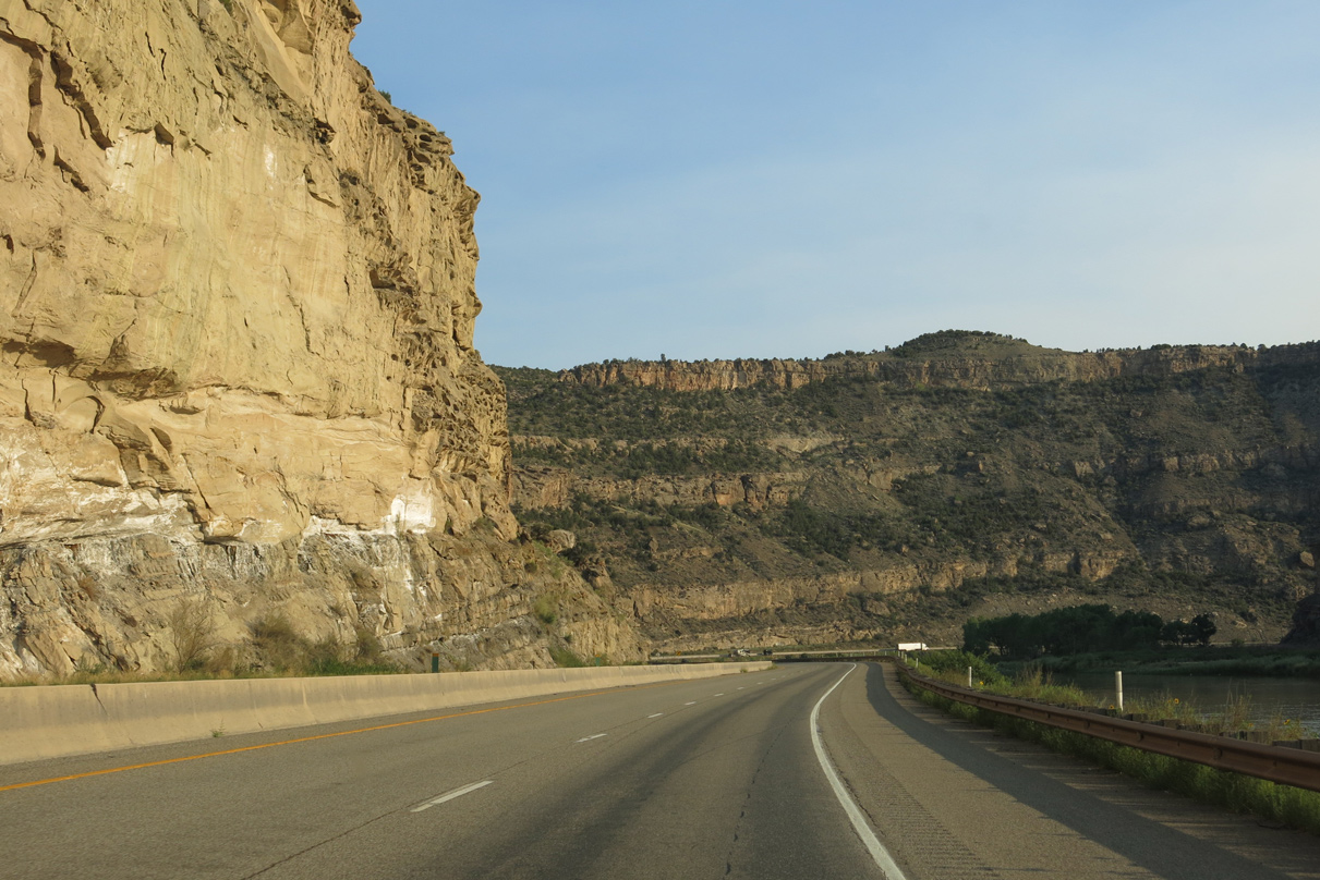
The Union Pacific Railroad lines the west side of the Colorado River through De Beque Canyon.
08/15/13
08/15/13
08/15/13
Interstate 70 through De Beque Canyon was completed by 1989.2
08/15/13
08/15/13
08/15/13
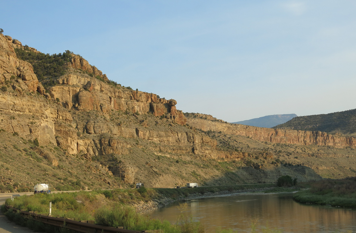
Areas of the Colorado River within De Beque Canyon are monitored for the potential of flooding from drainage from the Rocky Mountain region.
08/15/13
08/15/13
08/15/13
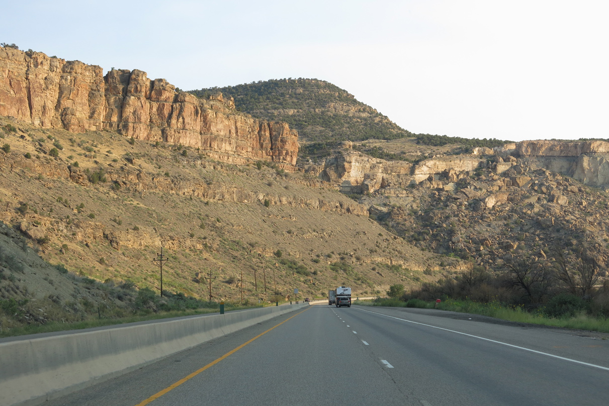
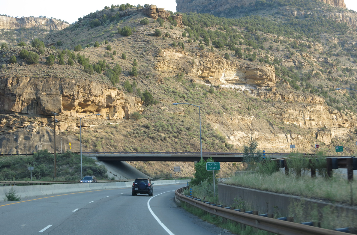
Passing by Roberts Canyon, I-70/U.S. 6 advance south to Beavertail Mountain.
08/15/13
08/15/13
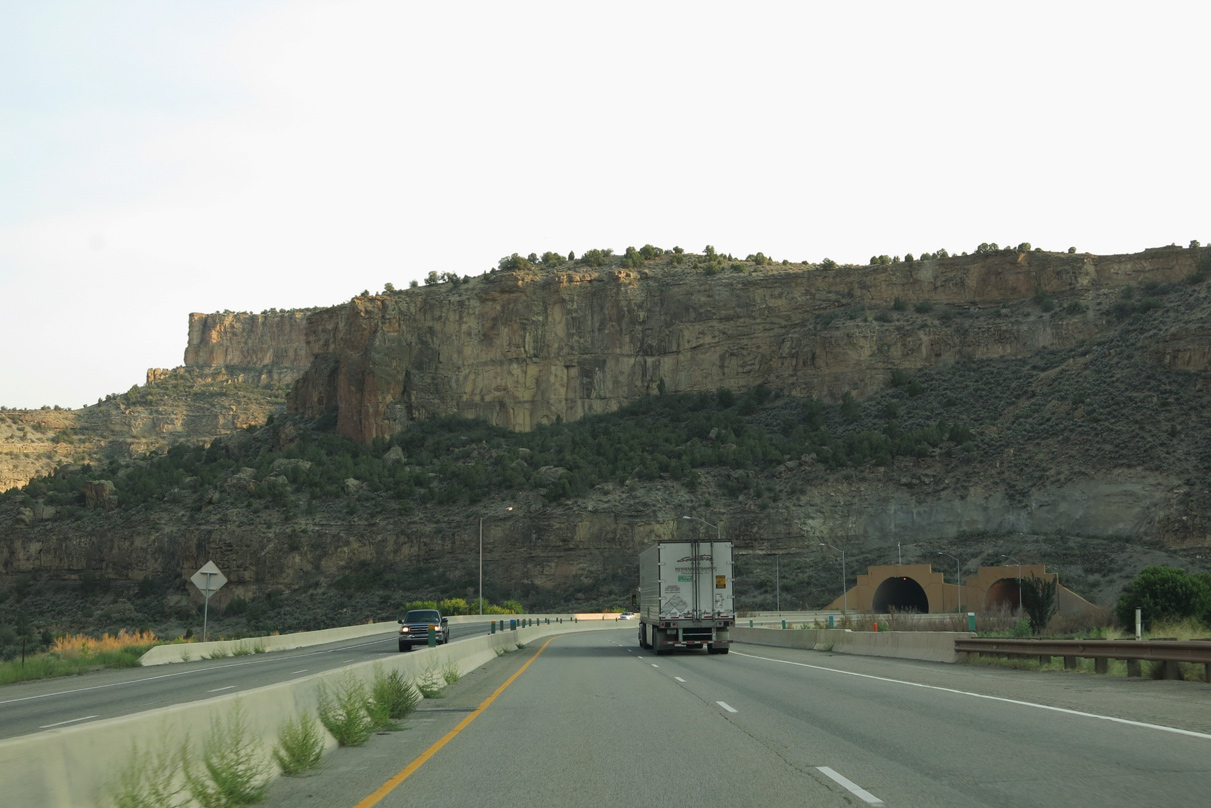
I-70/U.S. 6 arc southwest across the Colorado River to the Beavertail Tunnel. This is the last of six tunnels along westbound Interstate 70.
08/15/13
08/15/13
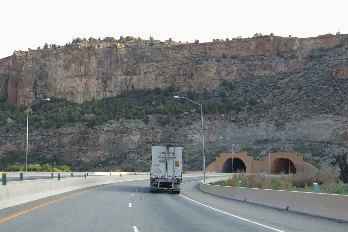
Each tube is two lanes wide. The Beavertail Mountain Tunnel was constructed between 1985 and 1987 by contractors Morrison-Knudsen as part of the completion of I-70 through De Beque Canyon.3
08/15/13
08/15/13
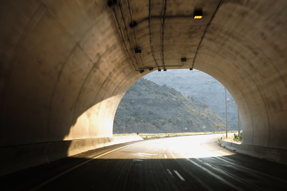
Due to the later completion date of the Beavertail Tunnel, it was constructed to modern standards with shoulders.
08/15/13
08/15/13
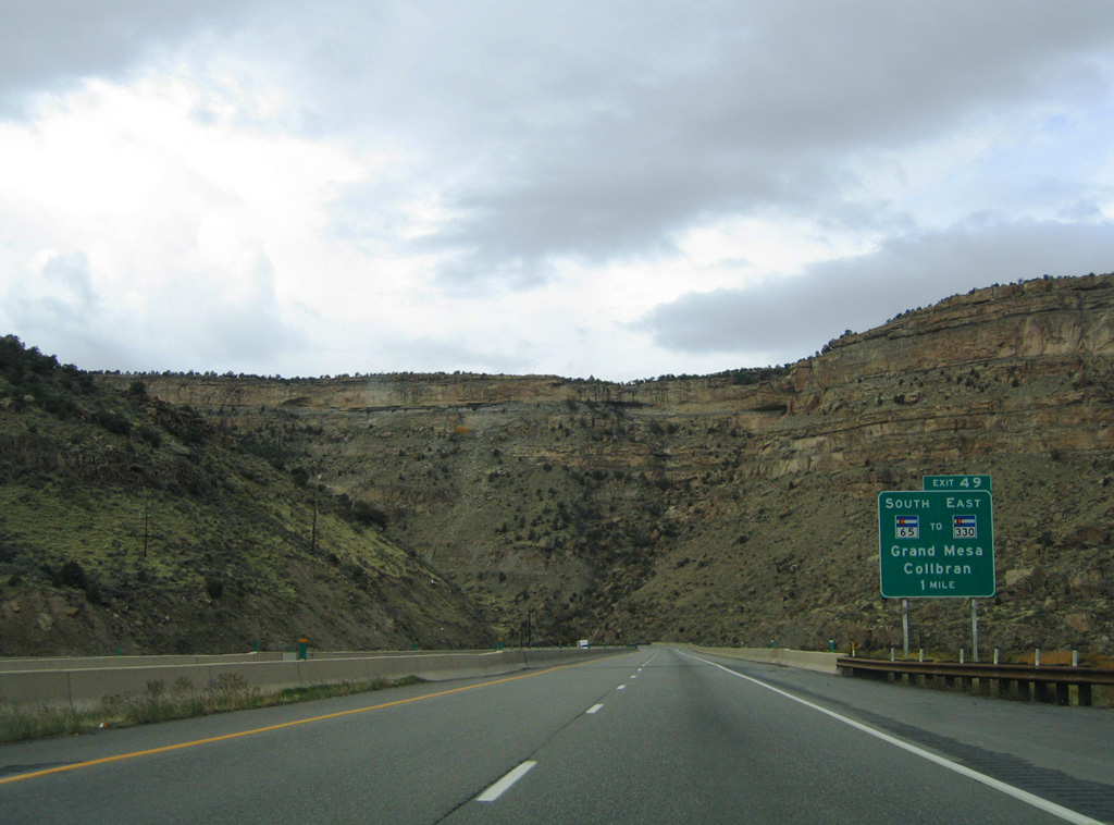
Leaving Beavertail Tunnel, I-70/U.S. 6 continue by the Grand Valley Diversion Dam to a modified diamond interchange (Exit 49) with the north end of SH 65.
10/18/04
10/18/04
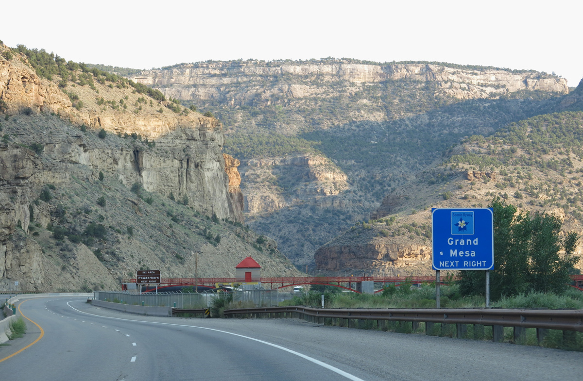
Part of the Grand Mesa Scenic Byway, SH 65 leads to Powderhorn Ski Resort south of Mesa. Beyond Grand Mesa and Grand Mesa National Forest, SH 65 continues to the towns of Cedaredge and Orchard City in Delta County.
08/15/13
08/15/13
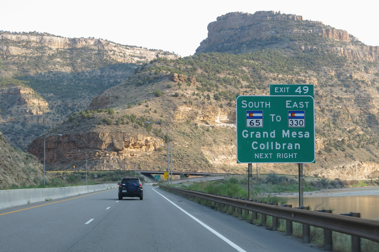
SH 65 parallels Plateau Creek 10.18 miles east to SH 330 in the Plateau Valley. SH 330 extends 11.40 miles east to Molina, Plateau City and Colbran. SH 65 south concludes at SH 92 east of Delta and U.S. 50 near the Gunnison River.
08/15/13
08/15/13
08/15/13
08/15/13
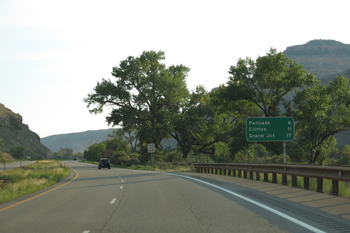
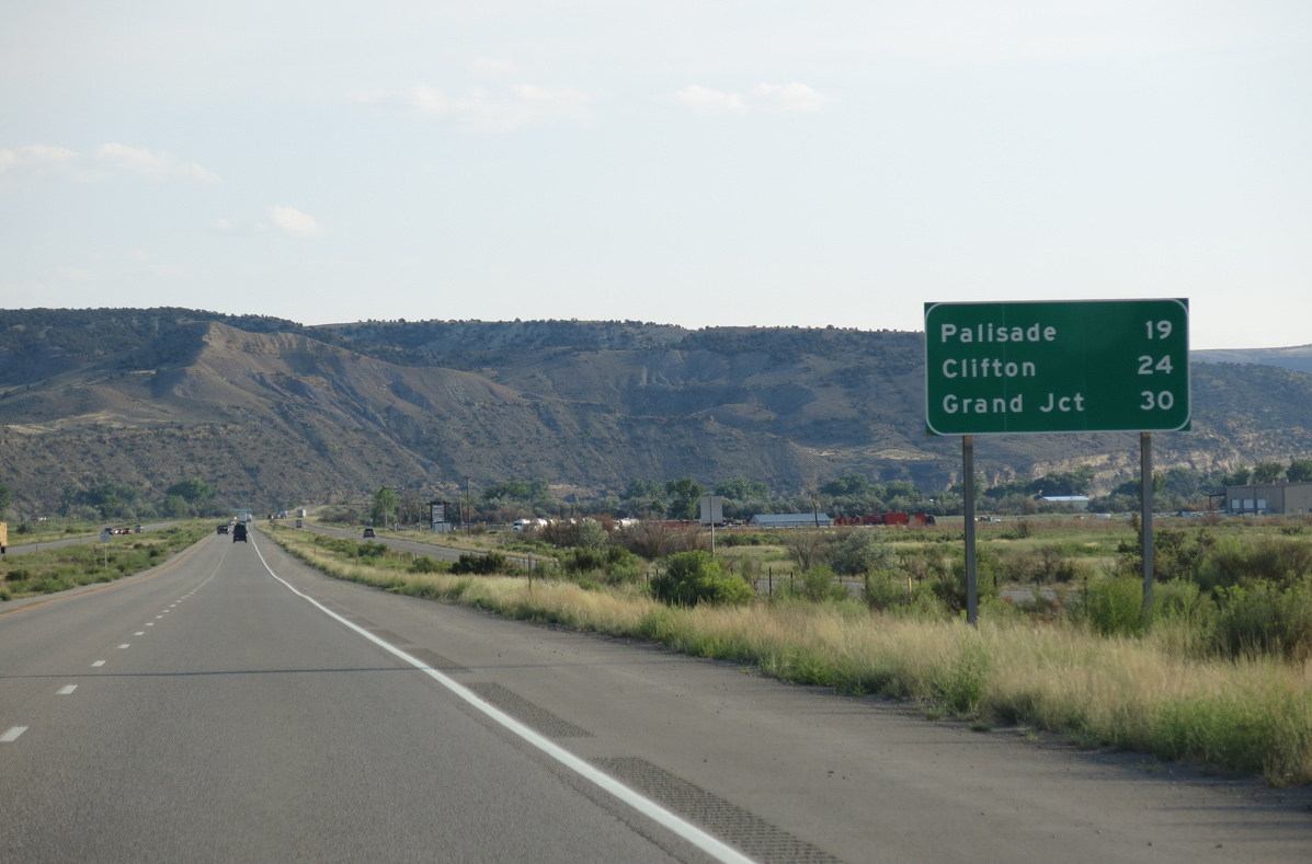
The distance sign posted beyond SH 65 previously referenced Palisade at six miles, Grand Junction at 20 miles out and Junction I-15 at 281 miles.
08/15/13
08/15/13

The ensuing exit is for the Island Acres unit of James M. Robb/Colorado River State Park. This a unique state park, with five separate units stretching along the Colorado River as it flows through Mesa County.
08/15/13
08/15/13
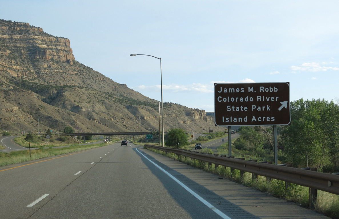
Exit 47 ties into a portion of old U.S. 6-24. The five units of James M. Robb/Colorado River State Park, in order from east to west are: Island Acres, Corn Lake, Wildlife Area, Connected Lakes and Fruita.
08/15/13
08/15/13
08/15/13

Exit 46 joins I-70 with Mesa County Route I.90 east of Mount Lincoln and Cameo.
08/15/13
08/15/13
08/15/13
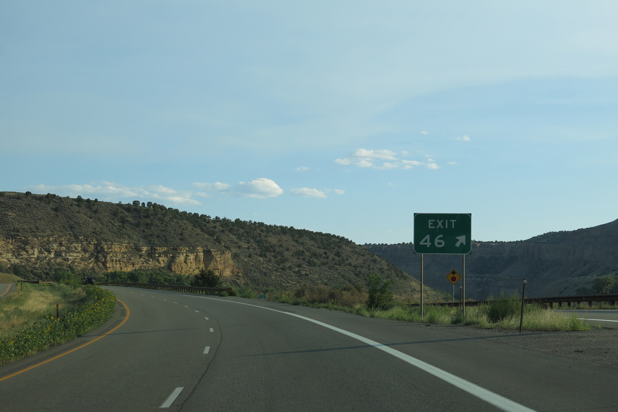
The diamond interchange at Exit 46 serves the Cameo Station low-sulfur coal-fire/natural gas power plant owned by Xcel Energy. Coal mined at the McClane Canyon Mine in Mack is transported to this low-emission facility, which was built in two units (1957 and 1960). Low sulfur coal deposits are also found in De Beque Canyon.
08/15/13
08/15/13
08/15/13
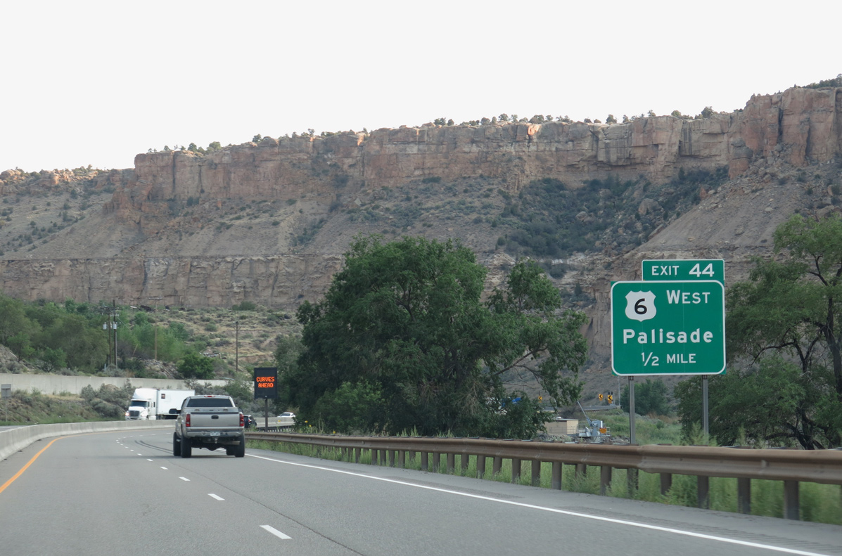
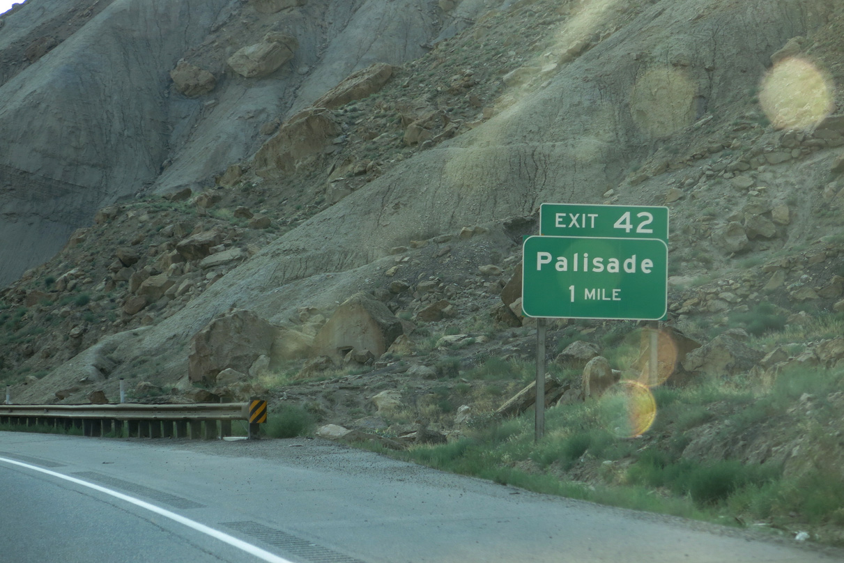
Leaving De Beque Canyon, U.S. 6 separates from I-70 west again at Exit 44 to the town of Palisade. Exit 44 was previously referenced as Business Loop I-70, though no signs were posted along the route.
08/15/13
08/15/13
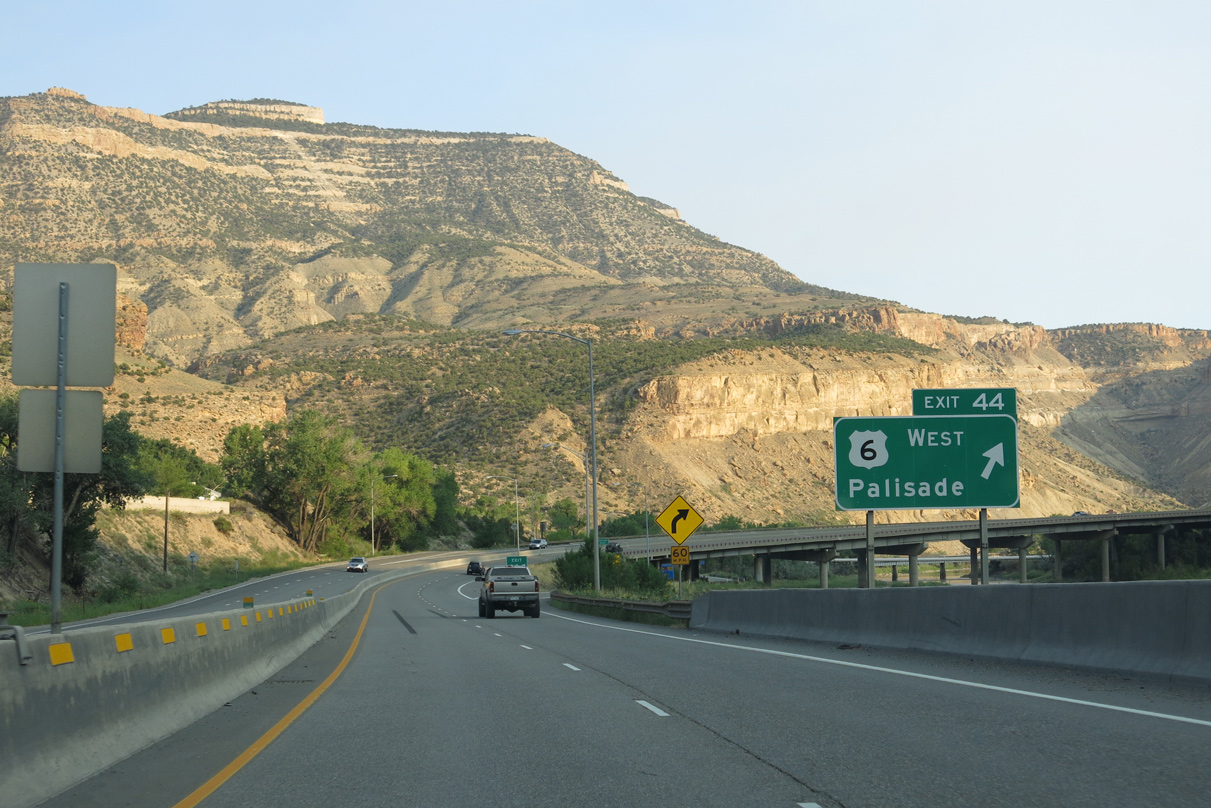
U.S. 6 loops south into Palisade and then west to Clifton. Inventoried by CDOT as Route 006C, this section of U.S. 6 measures 8.90 miles in length between Exit 44 and Business Loop I-70.
08/15/13
08/15/13
West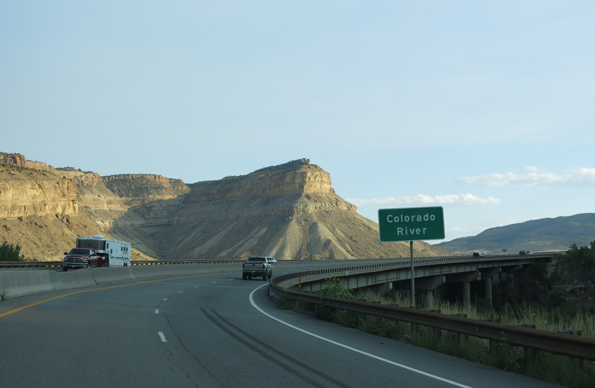
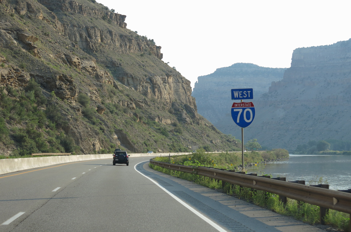
Interstate 70 curves southwest across the Colorado River from the wye interchange (Exit 44) with U.S. 6 east.
08/15/13
08/15/13
Bypassing Palisade, Interstate 70 travels alongside the cliffs that give the town its name. Mount Lincoln and Mount Garfield are visible to the north.
10/18/04
10/18/04
Situated at the eastern end of the Grand Valley, Palisade is located in Colorado's Banana Belt, so named because of the milder winters and unique terrain that is suitable for farming peaches and grapes. Irrigation is necessary due to the scant rainfall received in Western Colorado.
08/15/13
08/15/13
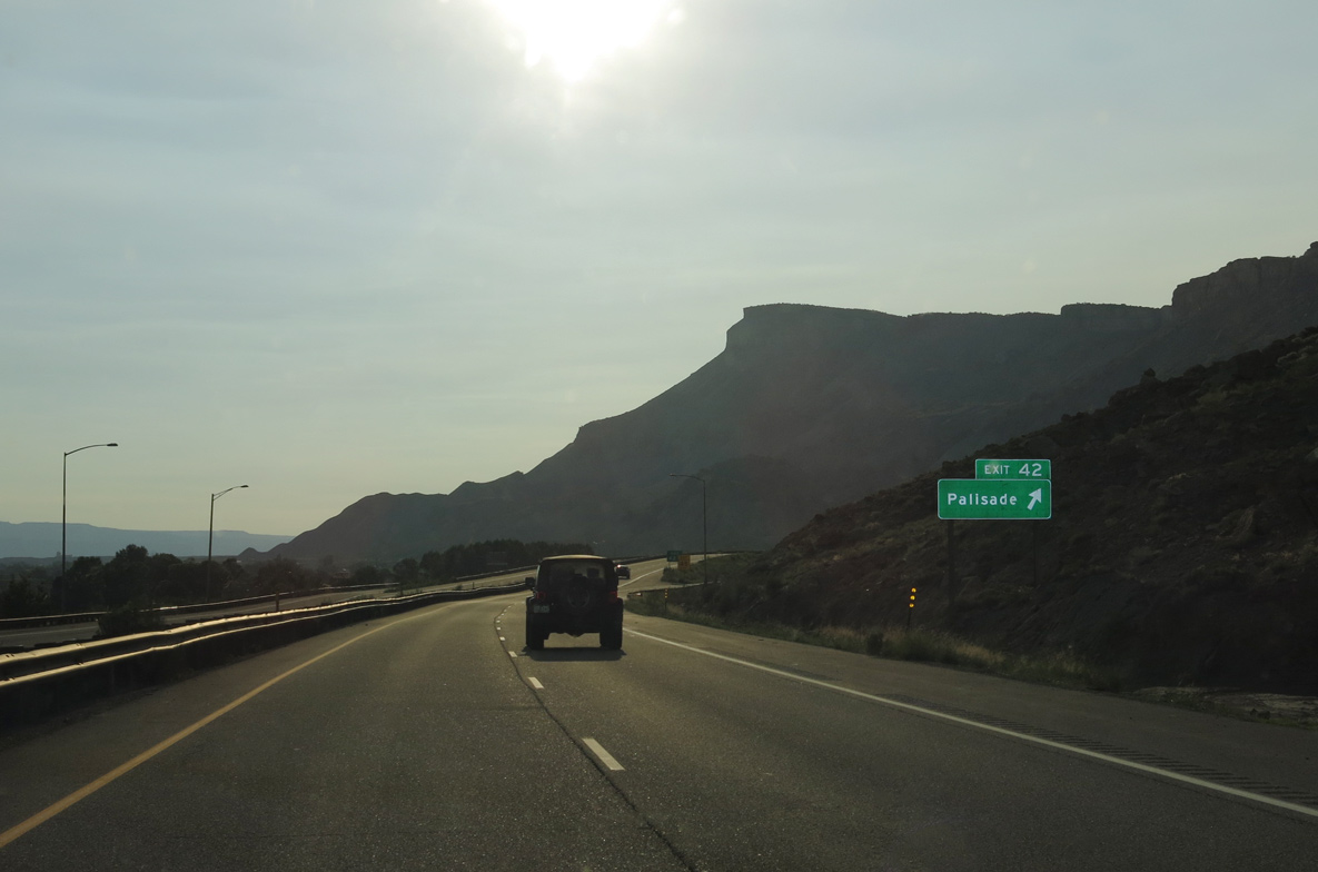
Elberta Avenue (CR 37.3) stems 0.81 miles north from U.S. 6 (W 8th Street) in Palisade to the diamond interchange at Exit 42.
08/15/13
08/15/13
References:
- Instrumentation of the De Beque Canyon Landslide at Interstate 70 in West Central Colorado by Sean Gaffney, Jonathan White, and William Ellis under The Geological Society of America (GSA) in 2002.
http://gsa.confex.com/gsa/ 2002AM/finalprogram/abstract_44544.htm. - Interstate 70 Colorado (Matt Salek).
http://www.mesalek.com/ colo/i70.html - Section 1 - Appendix A - Tabulation of Dispute Resolution Boards.
http://www.drb.org/manual/ Section1AppendixATabulation.pdfDispute Resolution Board Foundation.
Photo Credits:
- Andy Field: 08/15/13
- AARoads: 10/18/04
Connect with:
Page Updated Monday January 24, 2022.