
Interstate 70 San Rafael Swell West - Ghost Rock to Coal Cliffs


 West
West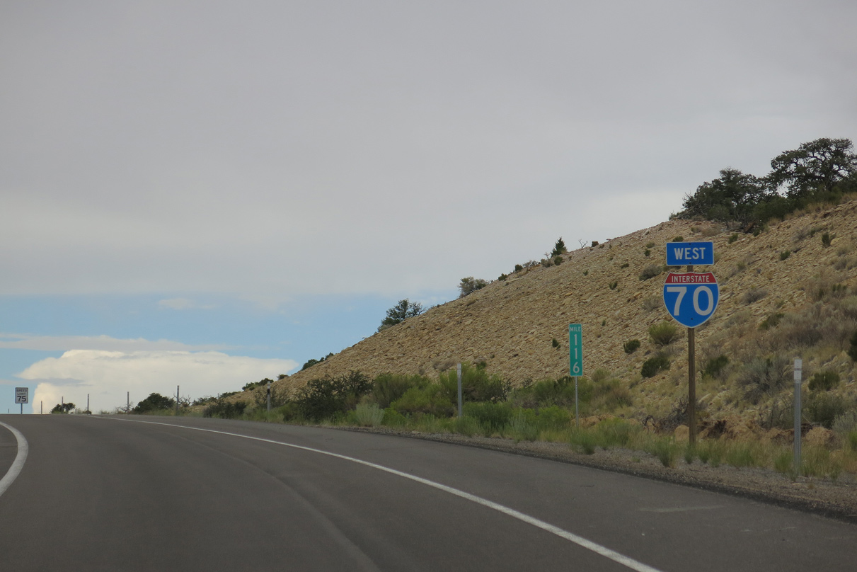
Interstate 70 passes north of Devils Canyon on the ensuing stretch west from Exit 116 and Eagle Canyon.
08/17/13
08/17/13
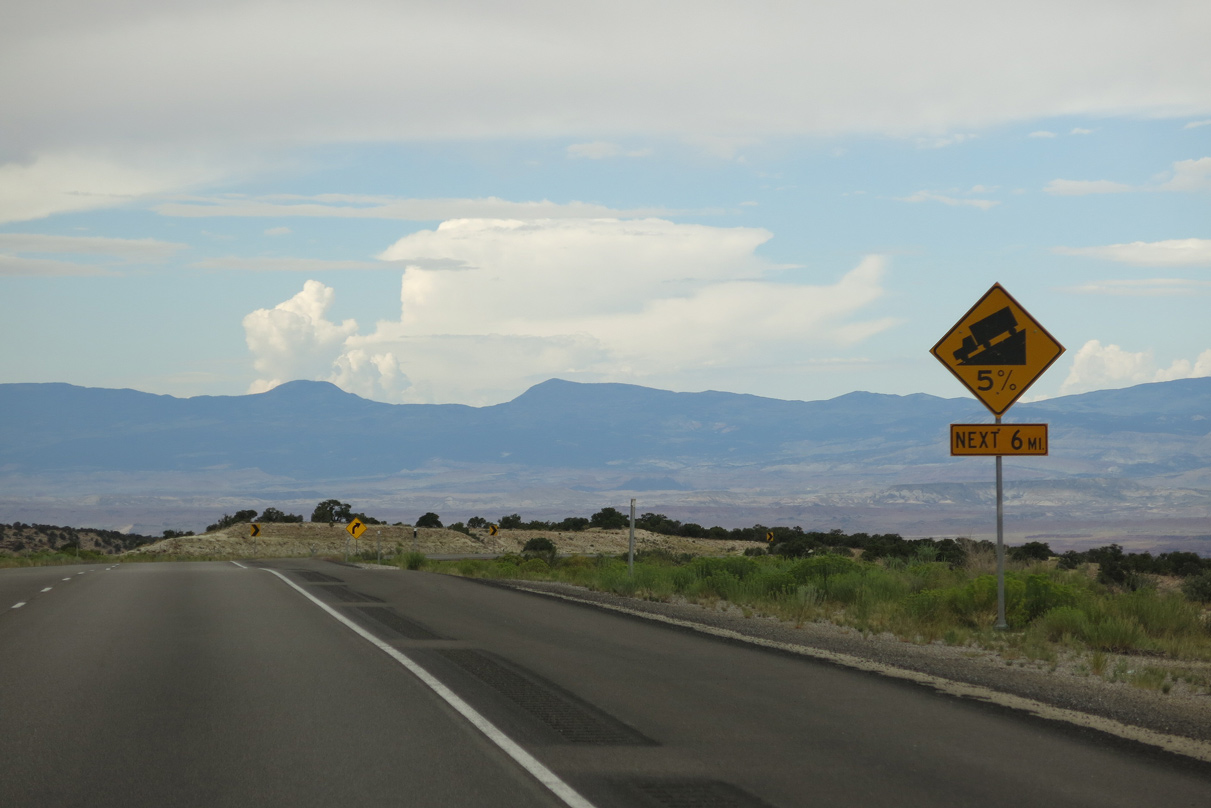
I-70/U.S. 50 begin a long descent at a 5% grade into Castle Valley.
08/17/13
08/17/13
08/17/13
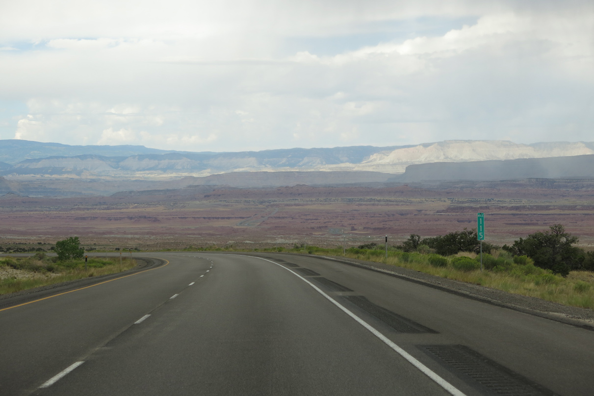
The Fishlake Mountains rise west of San Rafael Swell.
08/17/13
08/17/13
08/17/13
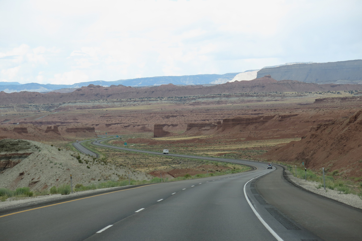
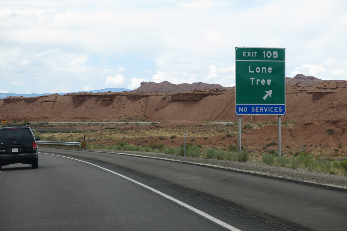
A diamond interchange (Exit 108) joins I-70/U.S. 50 with Willow Springs Wash Road to the southwest of Reeds Mesa (el. 5,922 feet).
08/17/13
08/17/13
08/17/13
Willow Springs Wash Road leads southwest from Exit 108 to CR 923 and northeast to Moores Cutoff Road (CR 803) near Lookout Point along the Red Ledges.
08/17/13
08/17/13
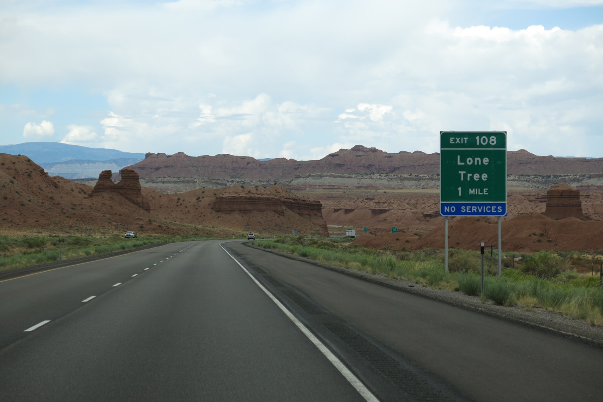
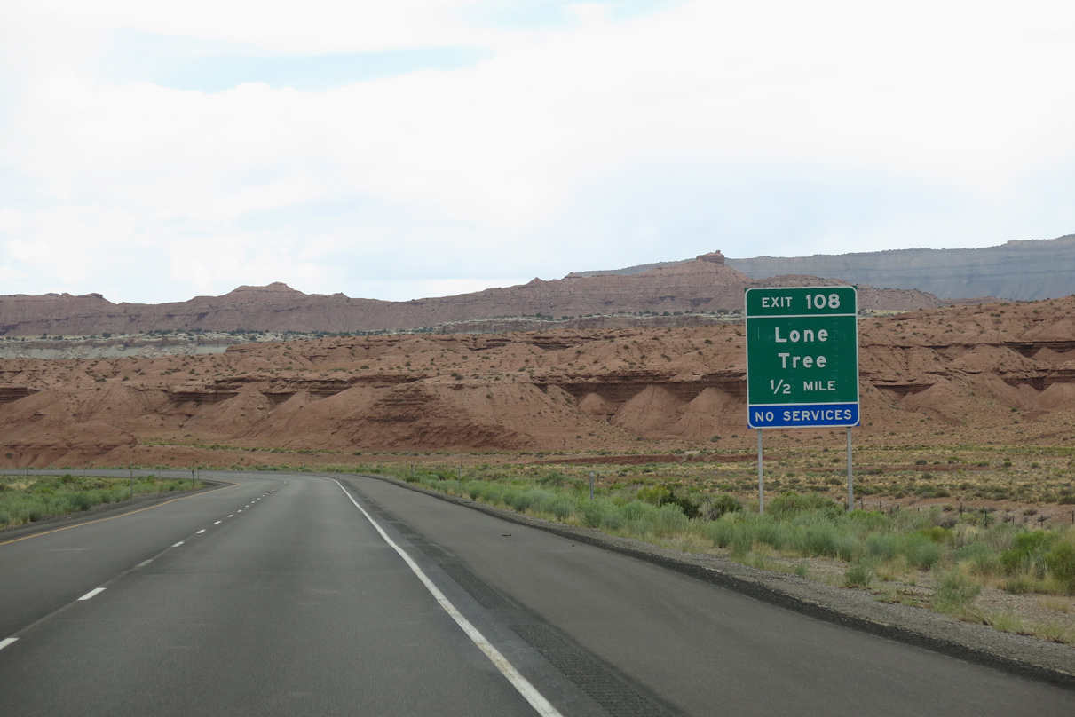
Entering the ranch exit at Lone Tree on I-70/U.S. 50 west after South Salt Wash.
08/17/13
08/17/13

Confirming markers posted west of the bridge spanning Bitter Seep Wash.
08/17/13
08/17/13
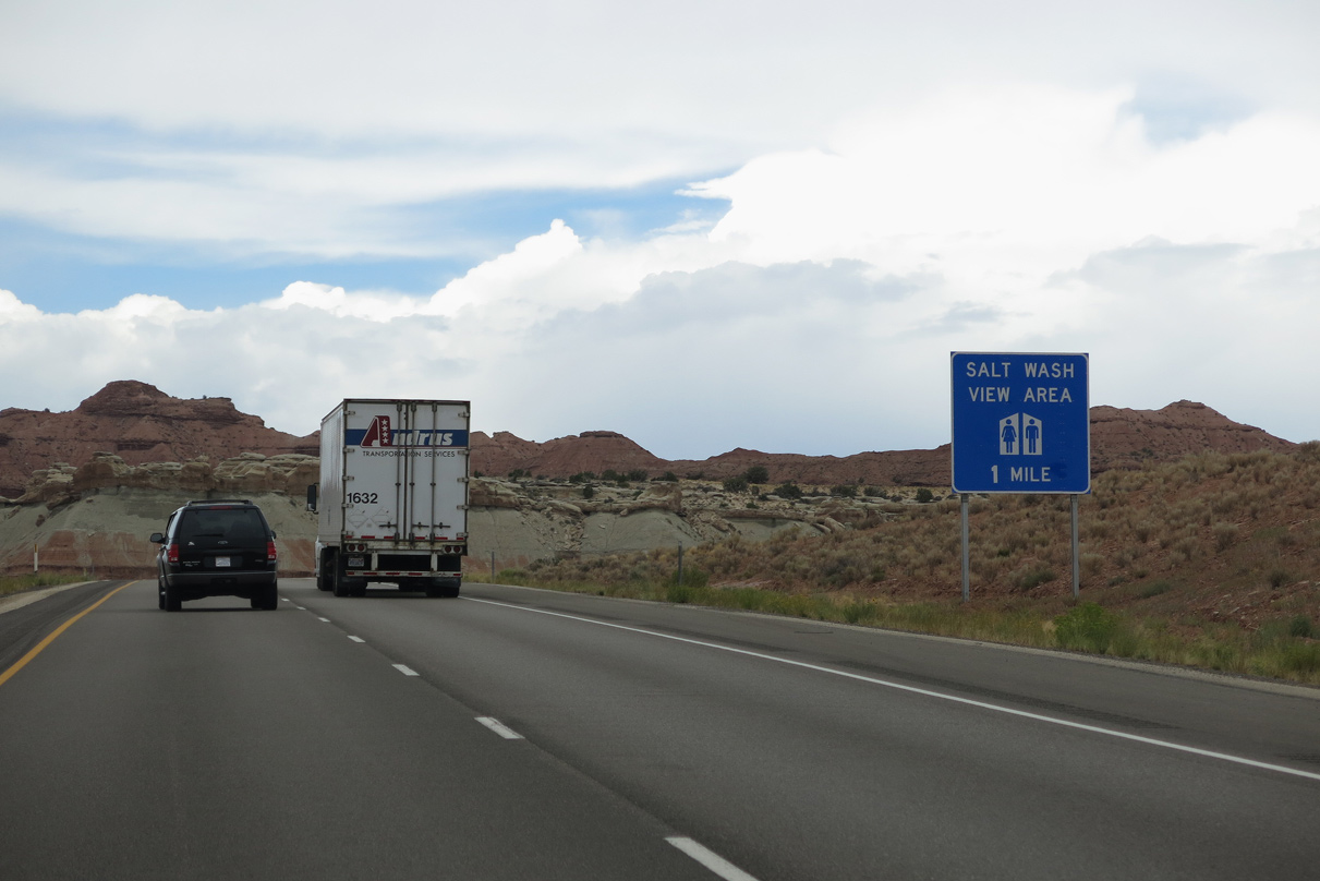
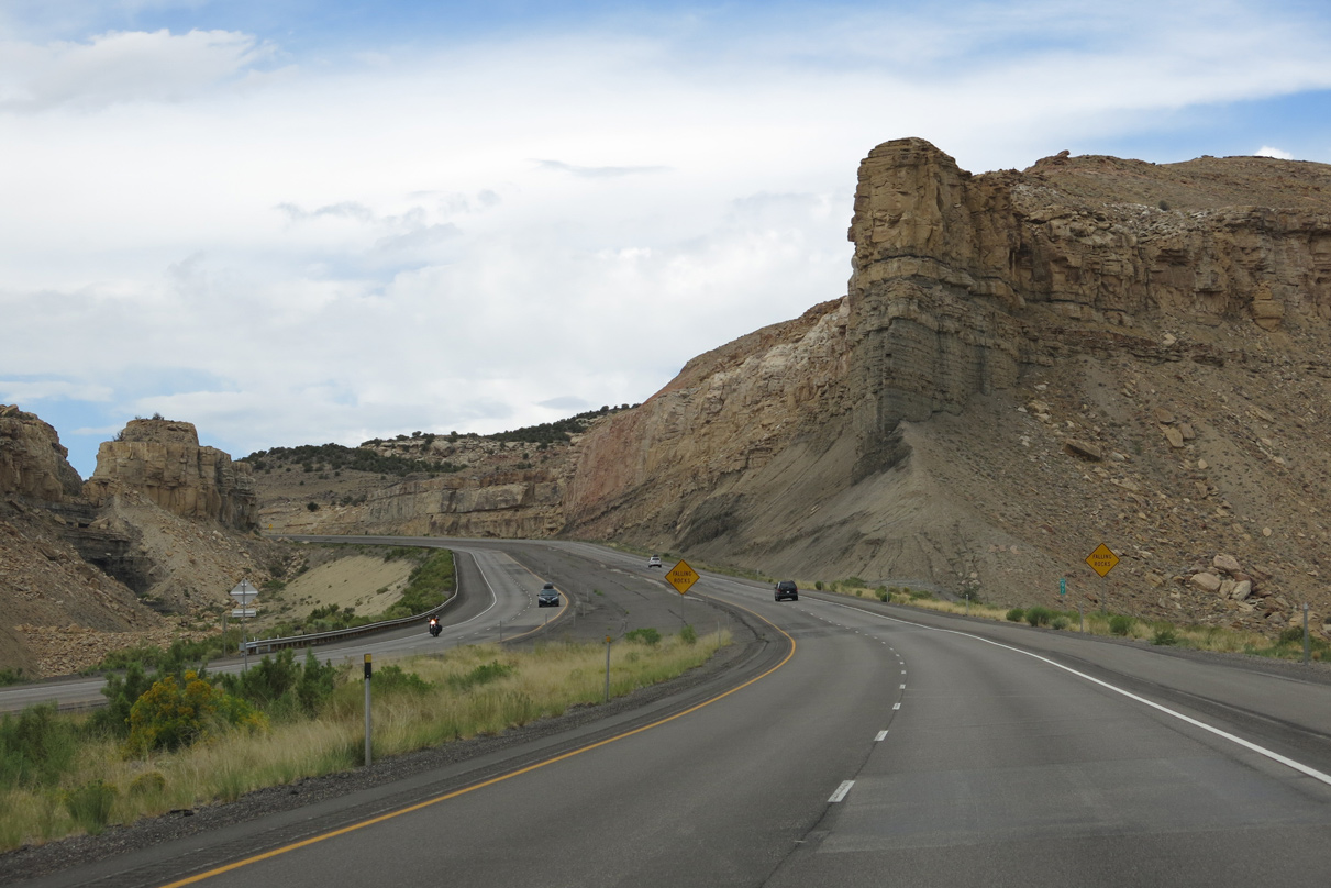
A wide median separates the roadways along Interstate 70 across Sand Bench, and ahead of the Salt Wash view area.
08/17/13
08/17/13
08/17/13
08/17/13
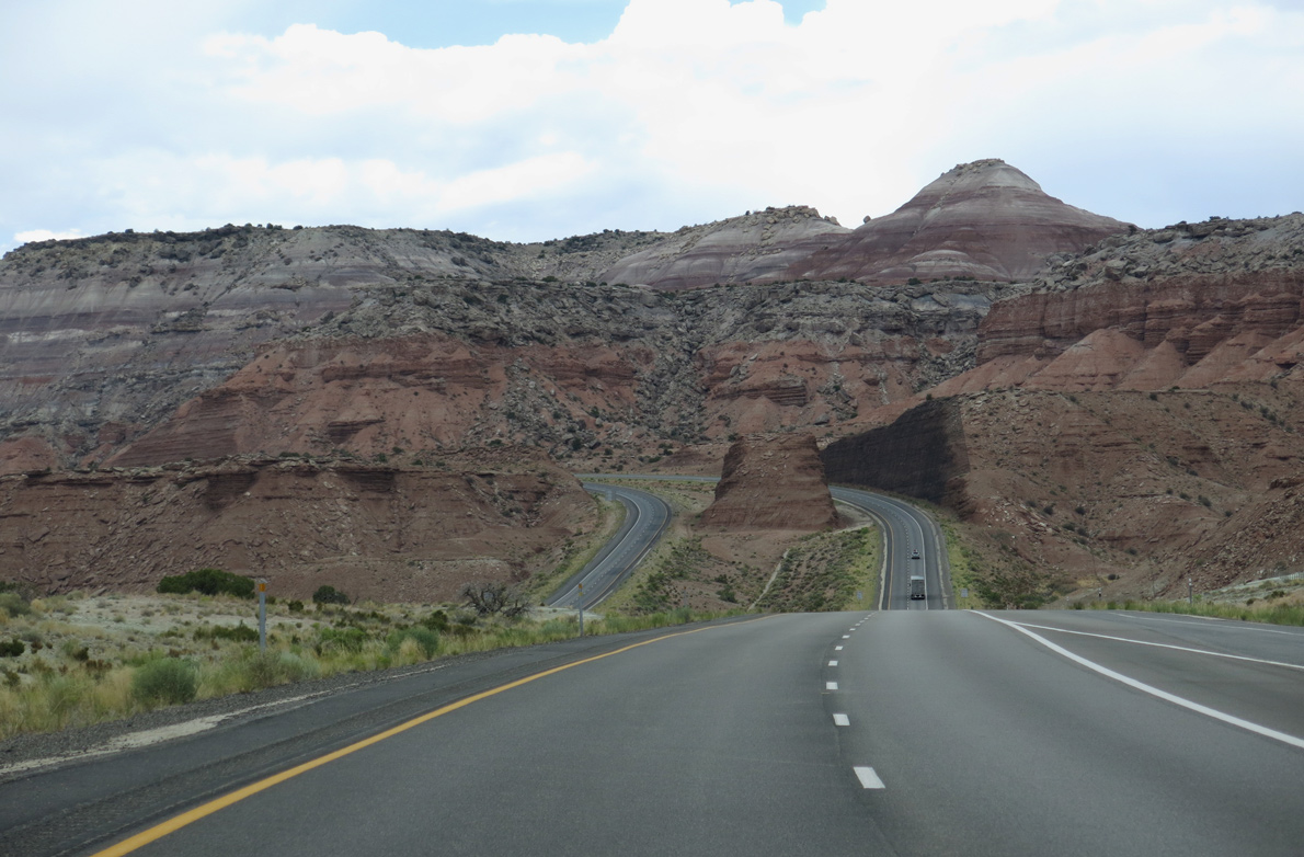
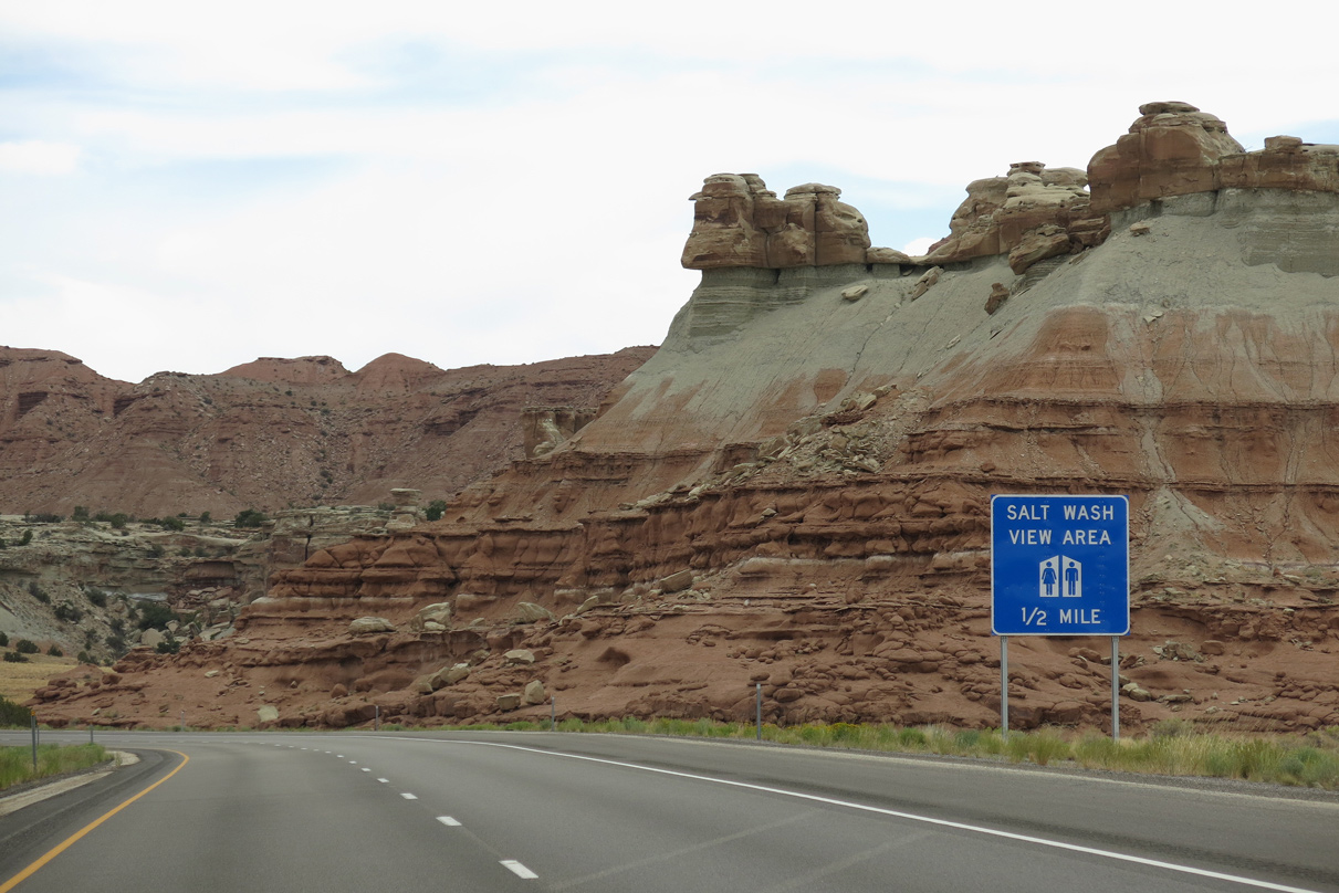
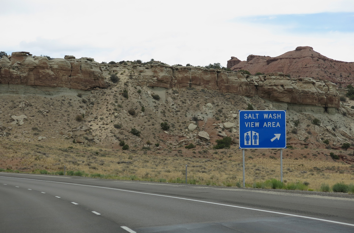
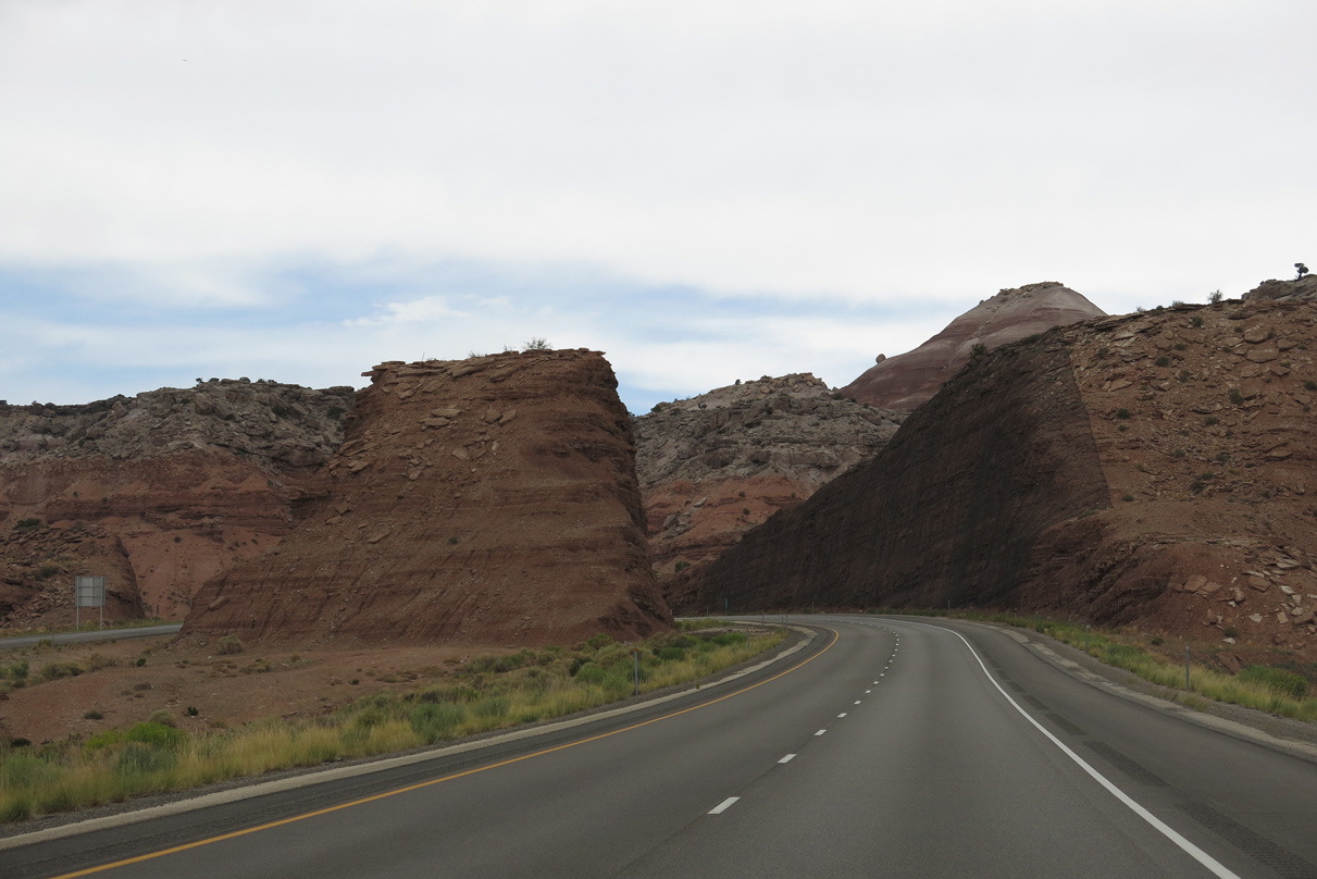
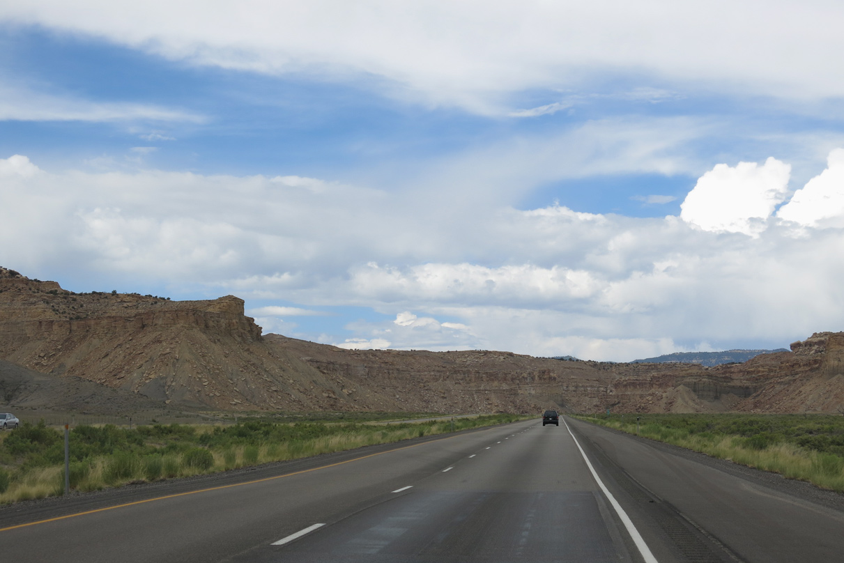
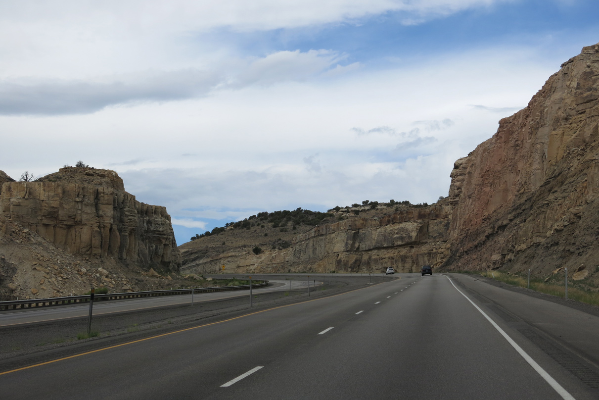
Interstate 70 traverses The Red Ledges west beyond the Salt Wash view area.
08/17/13
08/17/13
08/17/13
08/17/13
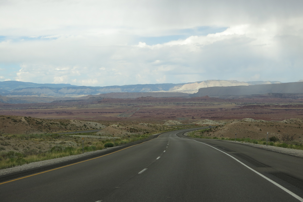
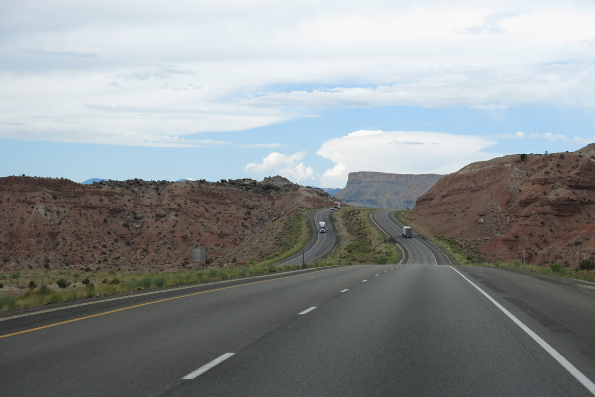
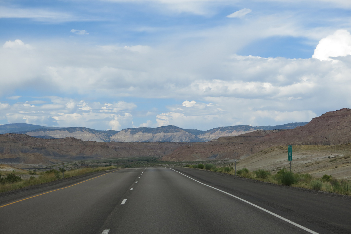
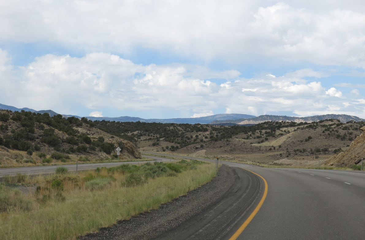
Red Valley spreads into view ahead of the Coal Cliffs.
08/17/13
08/17/13
08/17/13
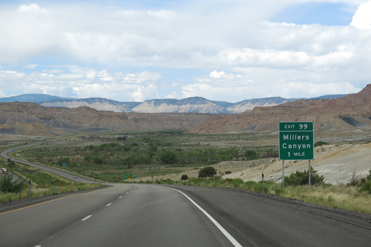
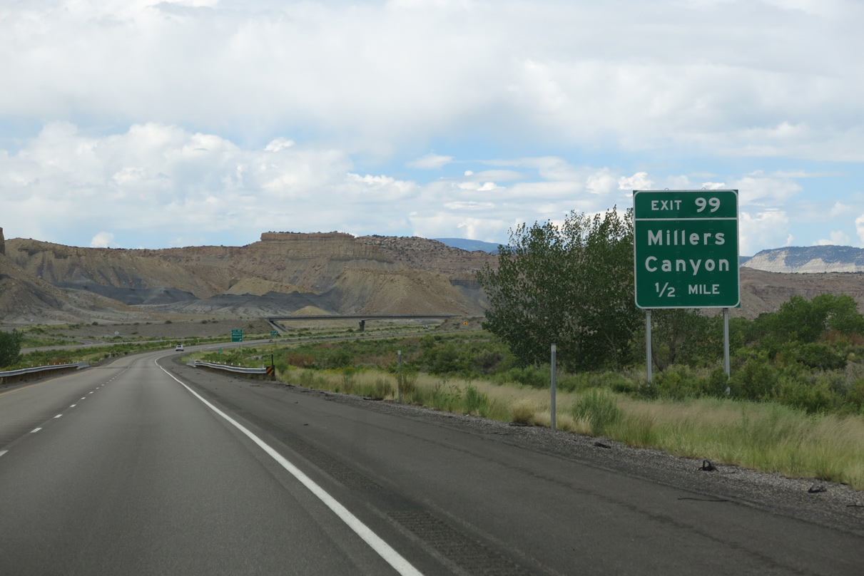
Millers Canyon Road (CR 912) meets I-70/U.S. 50 at the ranch exit by the confluence of Ivie and Muddy Creeks.
08/17/13
08/17/13
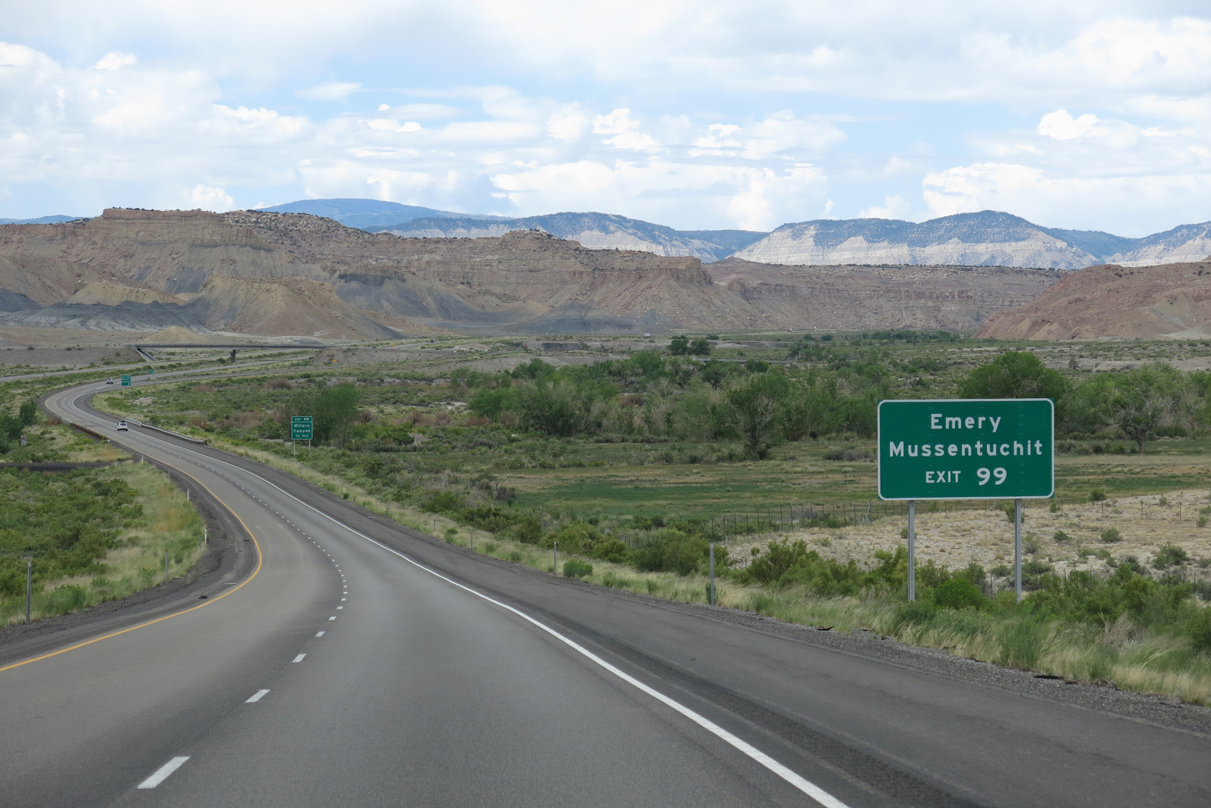
Millers Canyon Road (CR 912) travels north to CR 916 / 300 East outside the town of Emery. Mussentuchit Flat lies far to the south via CR 912 and CR 920.
08/17/13
08/17/13
The town of Emery is 8.7 miles to the north of Exit 99 via Miller Canyon across the Coal Cliffs.
08/17/13
08/17/13
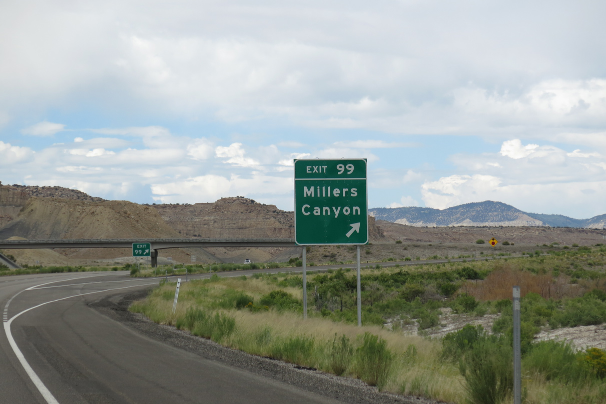
The diamond interchange (Exit 99) with Millers Canyon Road lies north of Mesa Butte (el. 6,729 feet).
08/17/13
08/17/13
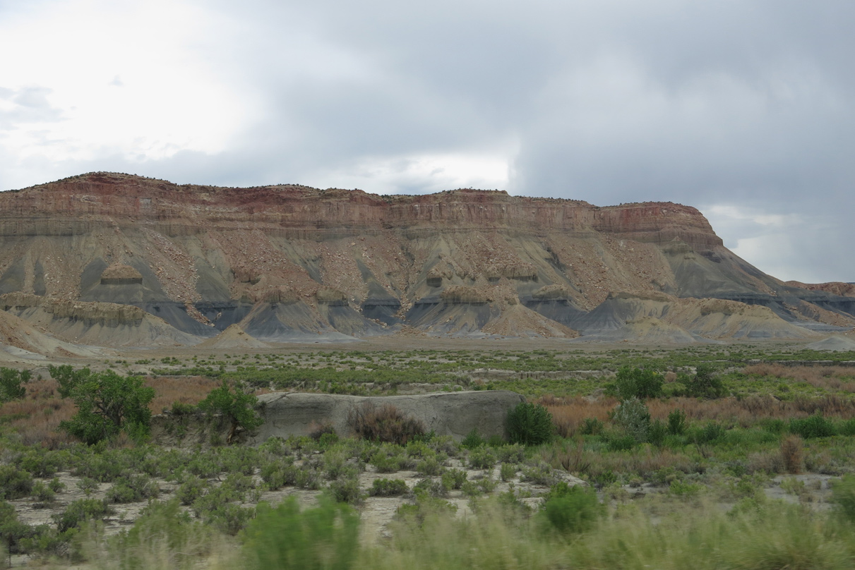
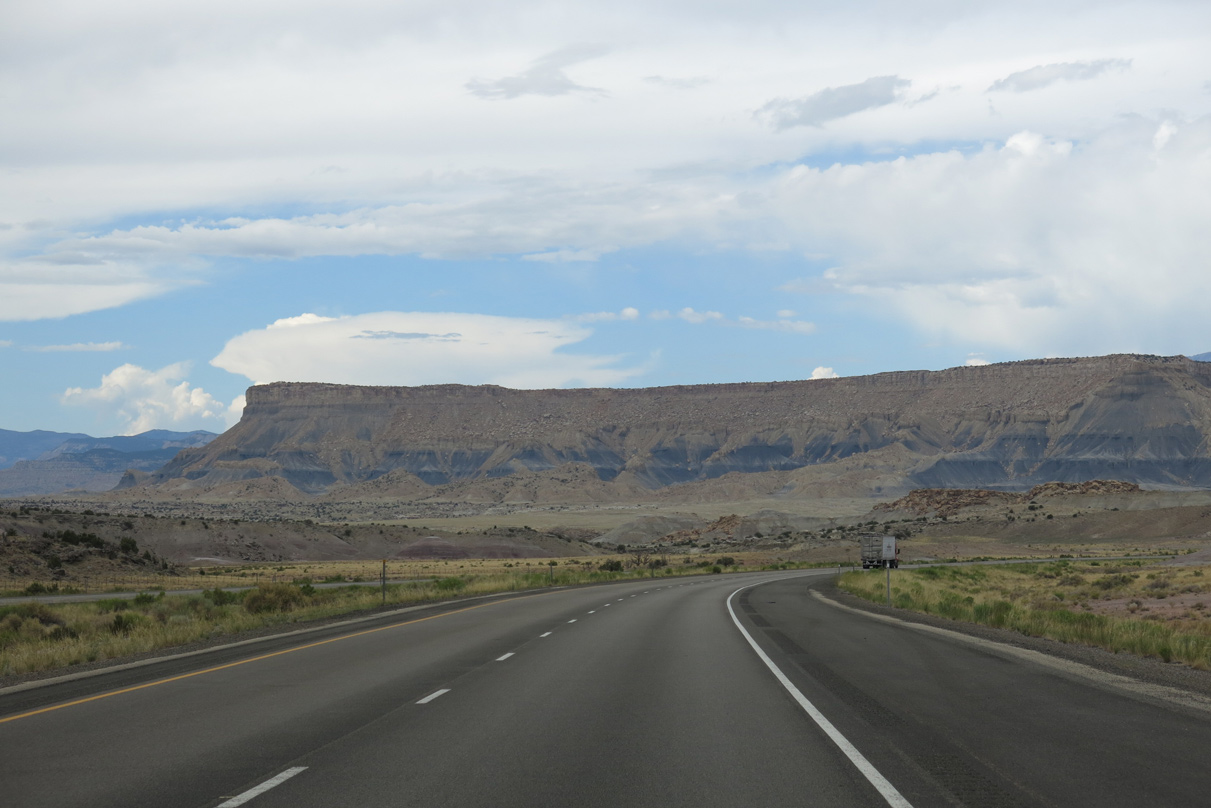
I-70/U.S. 50 west reach the Coal Cliffs north of Blue Trail Canyon.
08/17/13
08/17/13
08/17/13
08/17/13
08/17/13
08/17/13
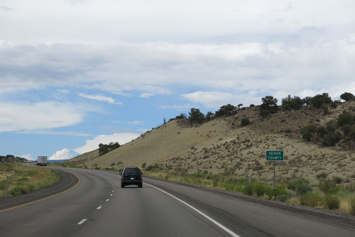
Interstate 70 crosses the Sevier County line ahead of mile marker 94 westbound.
08/17/13
08/17/13
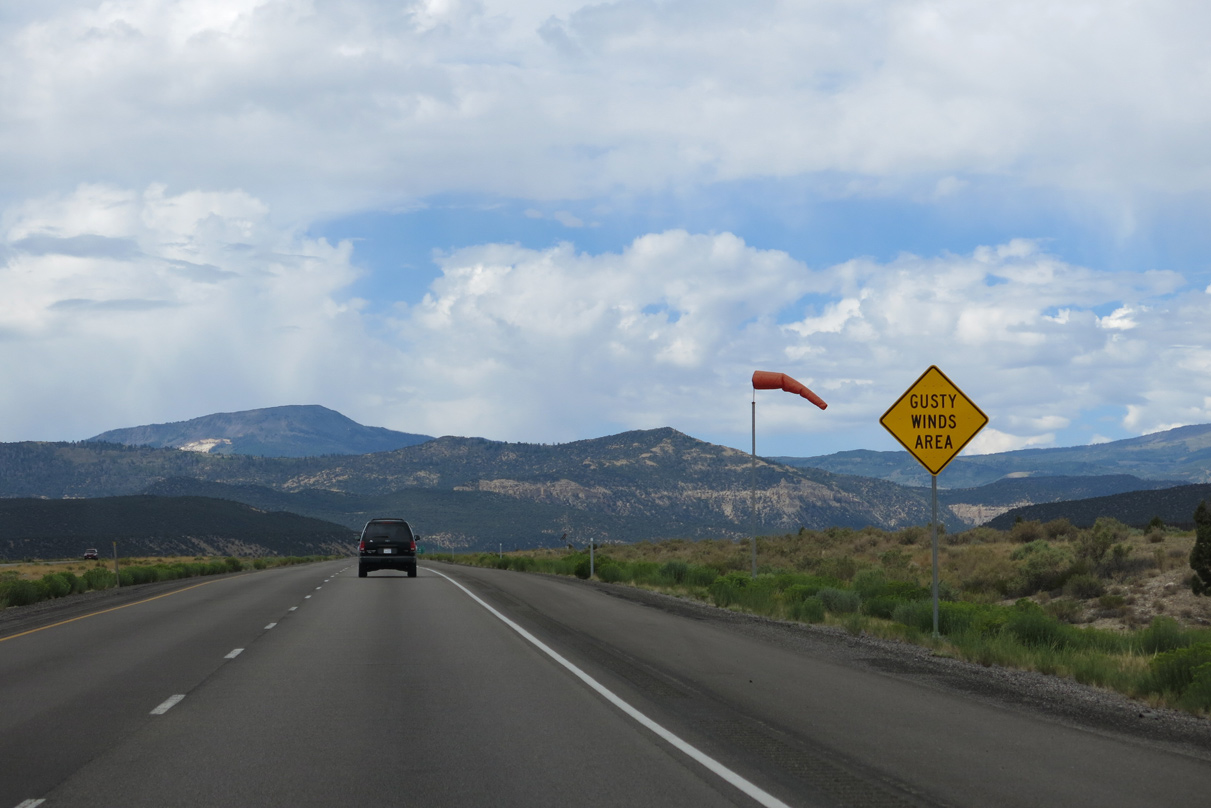
Ivie Creek Bench is a gusty winds area.
08/17/13
08/17/13
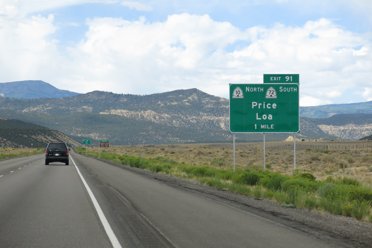
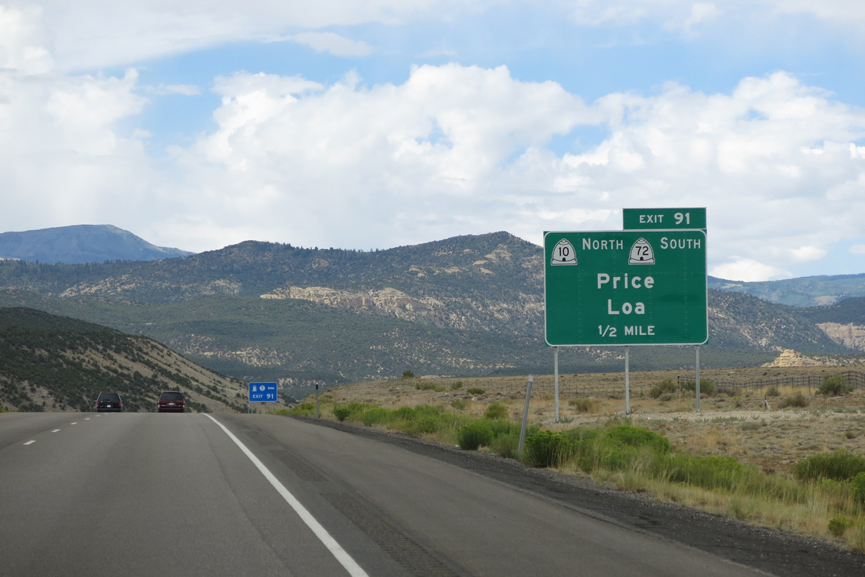
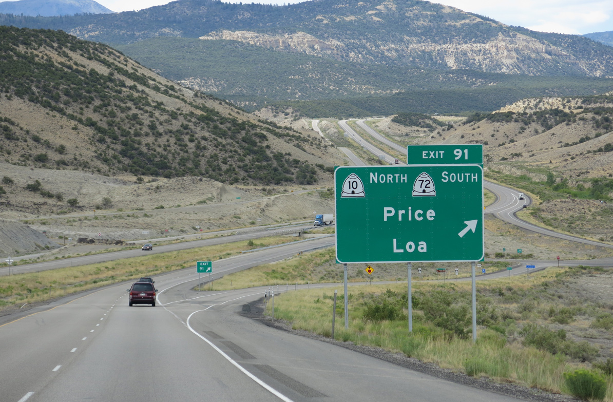
SR 10 south and SR 72 east converge with I-70/U.S. 50 at a diamond interchange (Exit 91) in one mile.
08/17/13
08/17/13
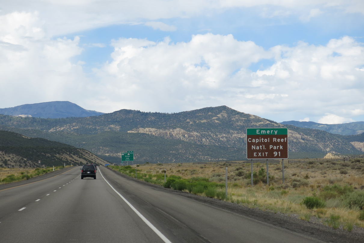
The 35.47 mile long route of SR 72 heads southwest to SR 24 in Loa, 21 miles west of Capital Reef National Park. SR 10 enters Emery in 12 miles.
08/17/13
08/17/13
SR 72 parallels I-70/U.S. 50 west to SR 76 at Fremont Junction before turning south through Post Hollow en route to Fremont.
08/17/13
08/17/13
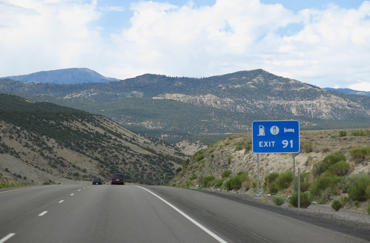
The services at Emery are 30 miles closer to those available at Salina along Interstate 70 west.
08/17/13
08/17/13
SR 10 travels 68.86 miles northeast to Ferron, Castle Dale, Huntington and SR 55 in Price.
08/17/13
08/17/13
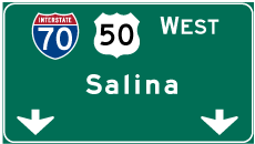
Photo Credits:
- Andy Field: 08/17/13
Page Updated Monday February 21, 2022.