
Business Loop I-70 - Green River
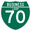
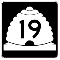
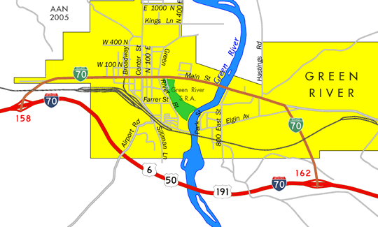
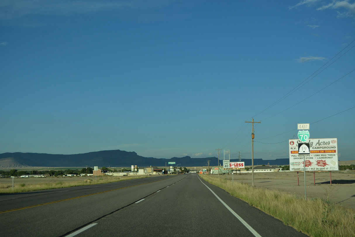
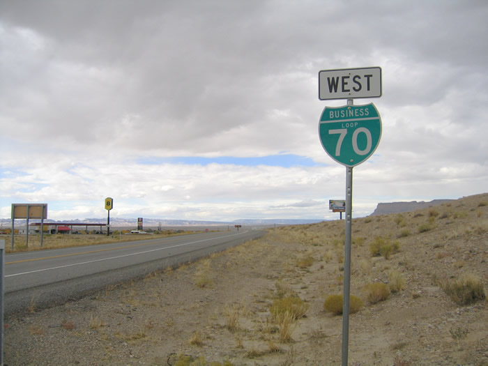
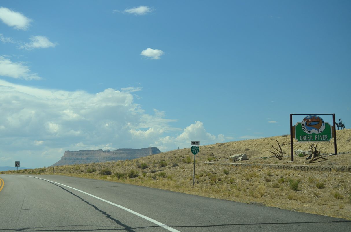
The Green River business loop serves the city of Green River by following the old alignment of U.S. 6/50. 4.58 miles in length, Business Loop I-70 runs concurrent with Utah State Route 19 as it travels north of Interstate 70 and U.S. 6-50-191 between Exit 160 and Exit 164. The business route is fully signed.

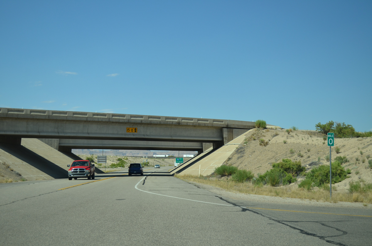
Milepost zero for Business Loop I-70 and SR 19.
07/03/16
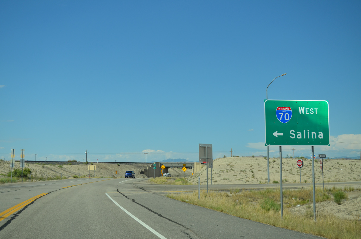
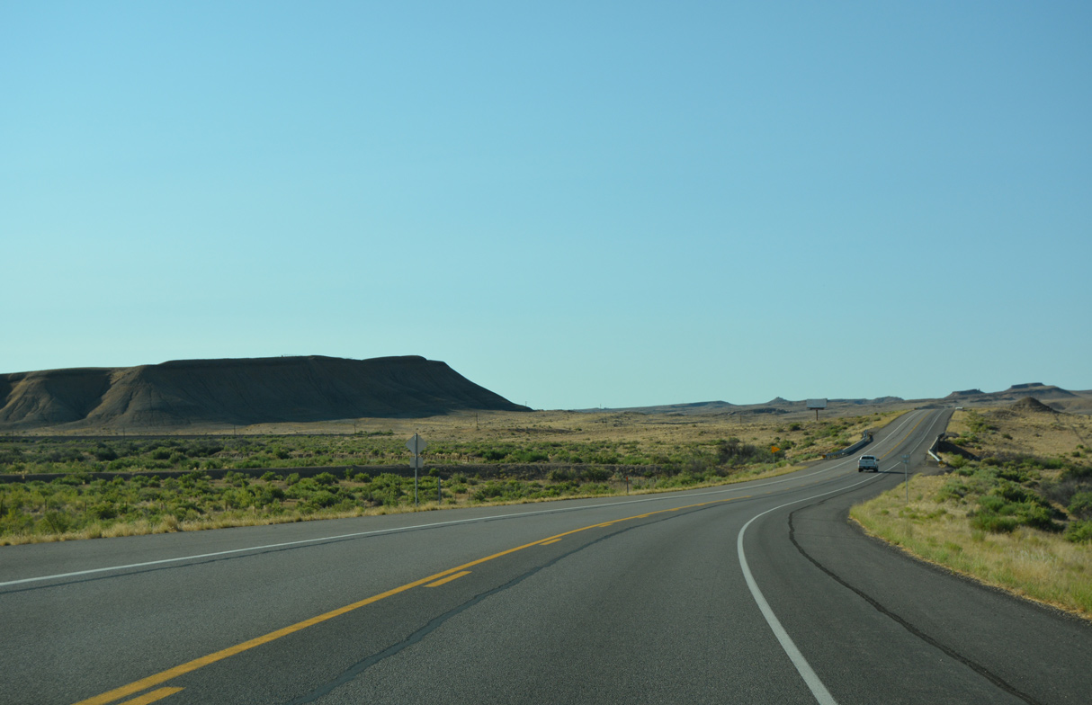
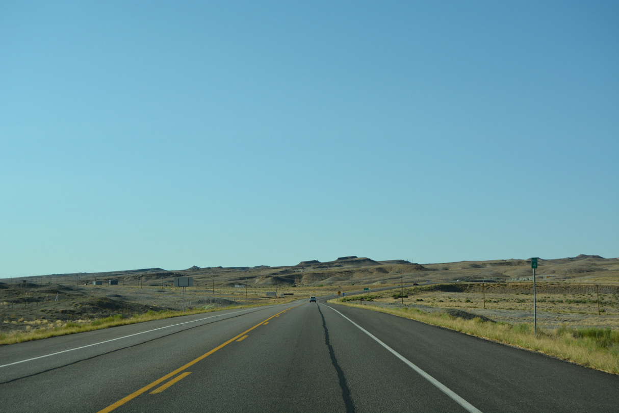
I-70/U.S. 50 lead west from Gunnison Valley across the San Rafael Swell to Salina. U.S. 6/191 split with the freeway north at the ensuing exit.
07/04/16
A trailblazer for Business Loop I-70 directs motorists northeast to Main Street.
07/03/16
A Union Pacific Railroad line spans Business Loop I-70/SR 19. The line also carries AMTRAK trains as part of the California Zephyr passenger service linking Chicago, Illinois and Emeryville, California.
07/03/16
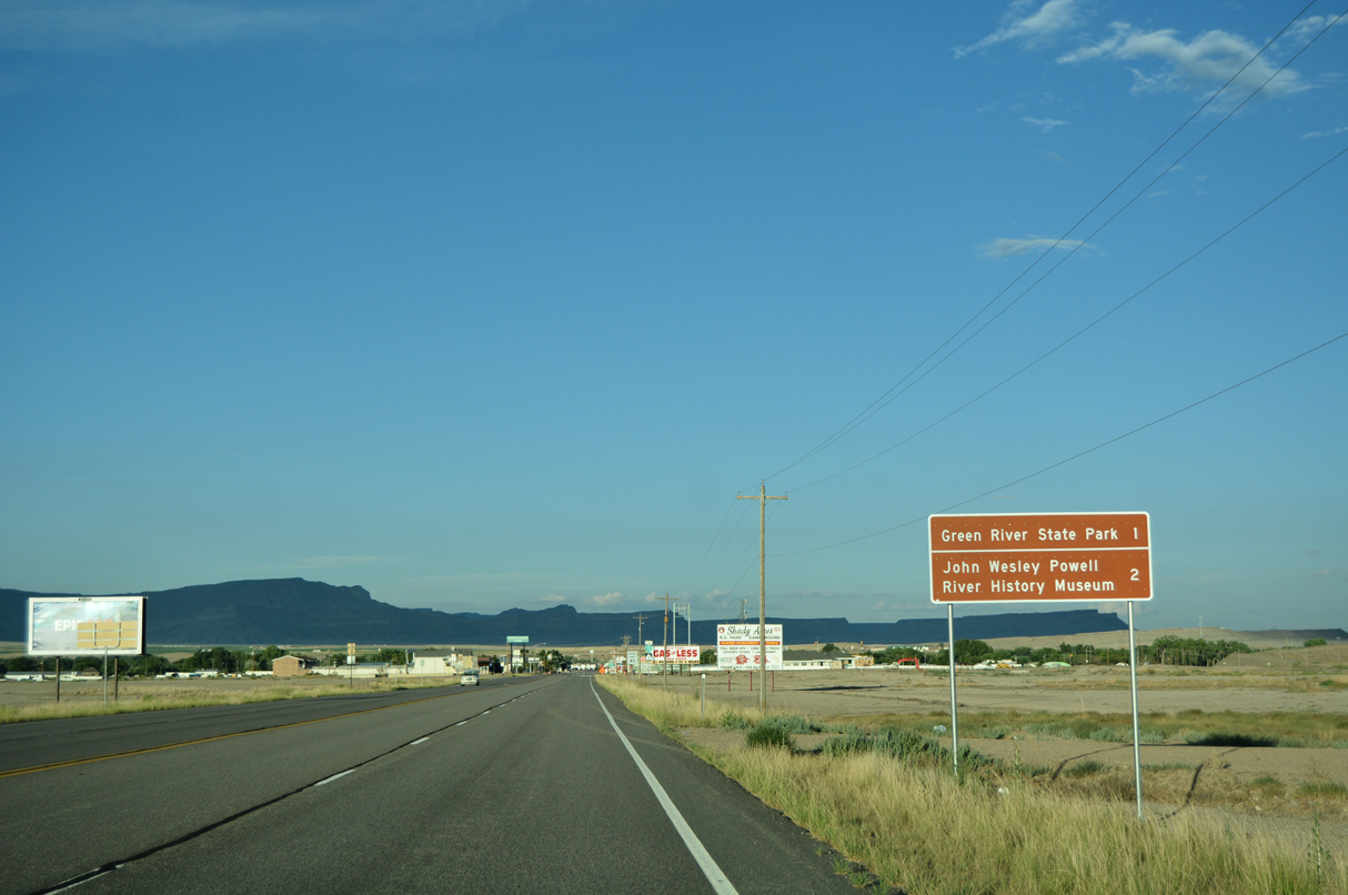
Green River attractions include Green River State Park and the John Wesley Powell River History Museum. Both points of interest are located along Main Street.
07/03/16
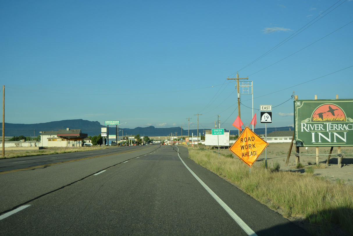
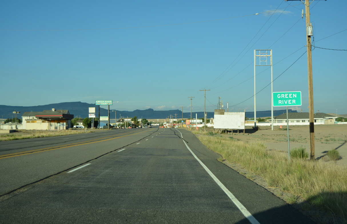
SR 19 appears for the first time as Business Loop I-70 advances to the Green River street grid.
07/03/16
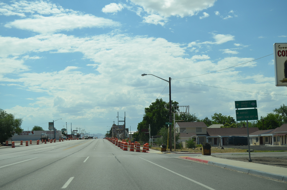
Main Street expands to five lanes ahead of Mulberry Street (600 West) and the Green River city center.
07/03/16
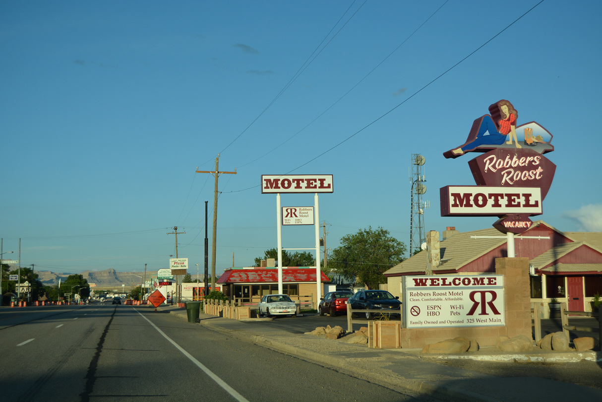
Main Street east at Howard Street in the Green River business district.
07/03/16
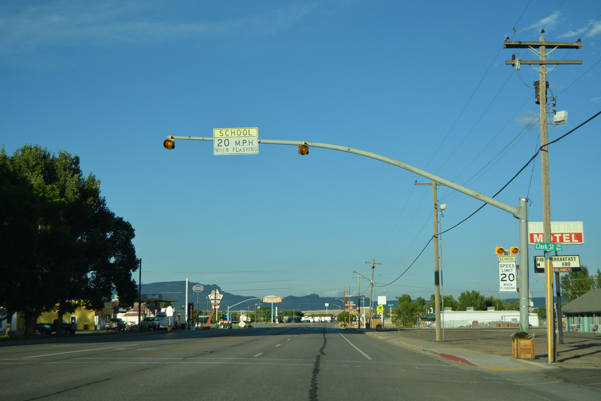
Business Loop I-70 (Main Street) east at Clark Street and Green River City Park.
07/03/16

Main Street at Solomon Street.
07/03/16
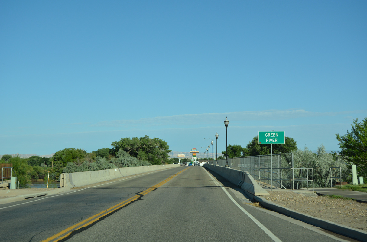
Business Loop I-70 east narrows back to two lanes across the Green River.
07/04/16
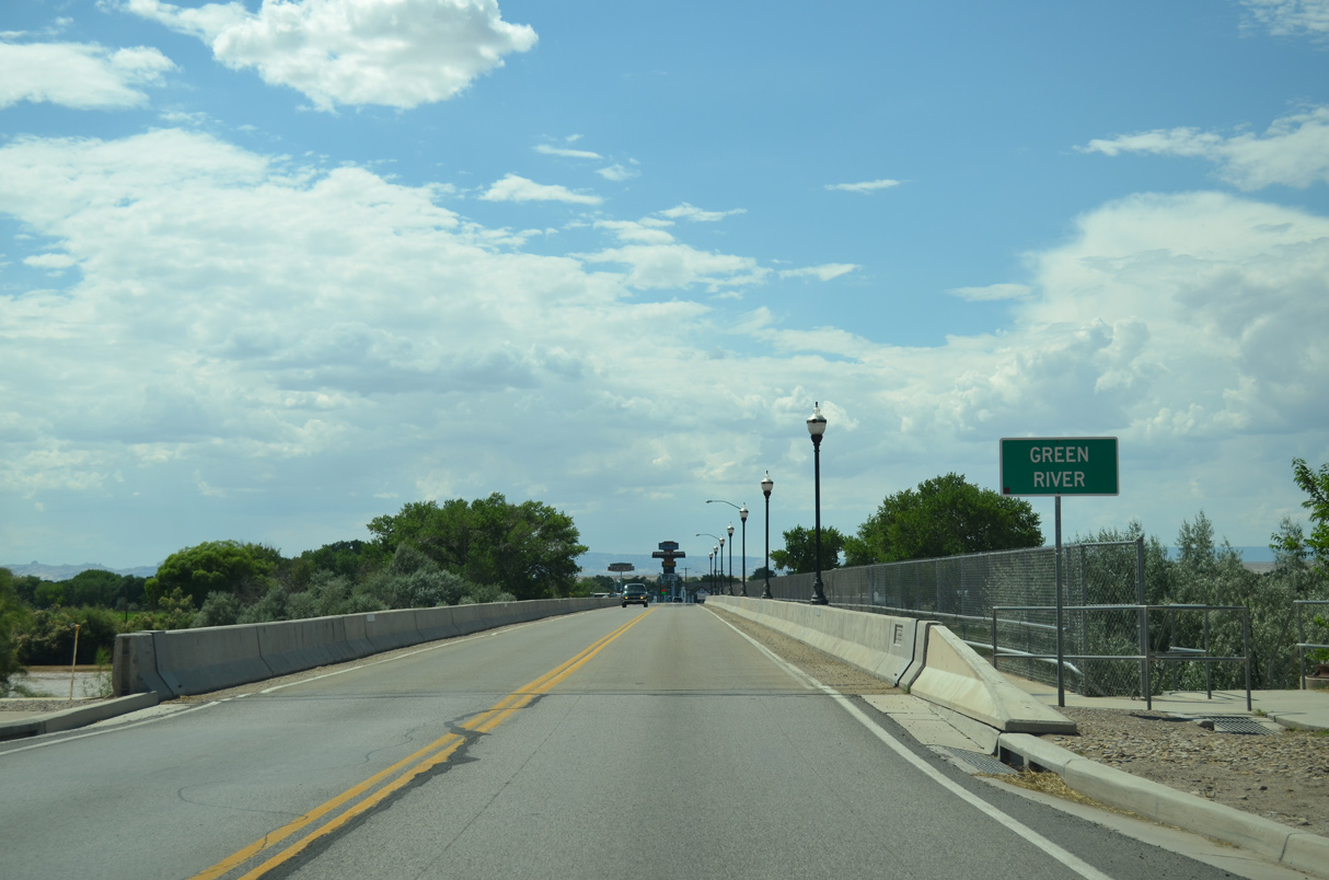
Main Street spans the Green River just ahead of the John Wesley Powell River History Museum and northeast of Green River State Park.
07/03/16
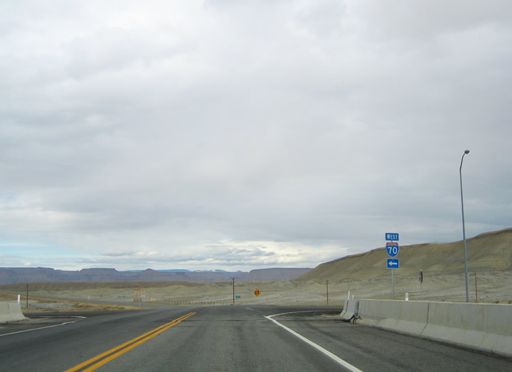
Rising from Green River Valley, trailblazers direct motorists on Business Loop I-70 back to I-70 and U.S. 191. U.S. 6/50 remain paired with I-70 east into Colorado.
07/04/16
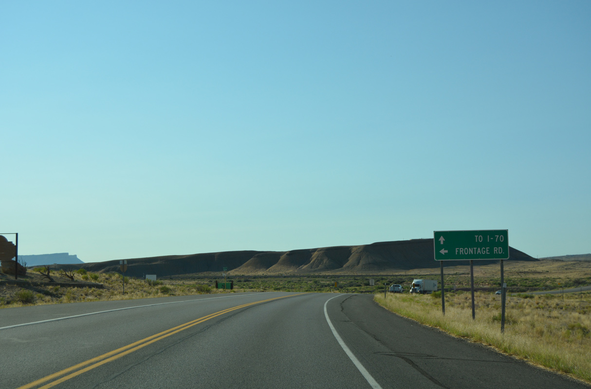
The frontage road referenced at the southerly turn of Business Loop I-70 is the former alignment of U.S. 6/50 paralleling the UP Railroad line east to Exit 175.
07/04/16
Advancing south, Main Street crosses both Browns Wash and the UP Railroad ahead of mile post 4.
07/04/16
Continuing south of milepost 4, Business Loop I-70/SR 19 enter the diamond interchange (Ext 164) with Interstate 70.
07/04/16
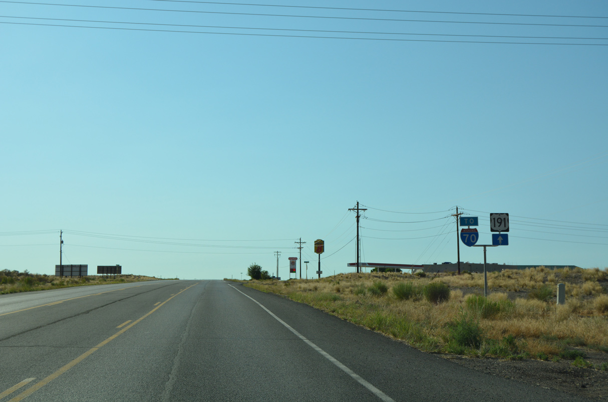
The westbound entrance ramp leads onto U.S. 191 north toward Price and I-70 to Salina.
07/04/16
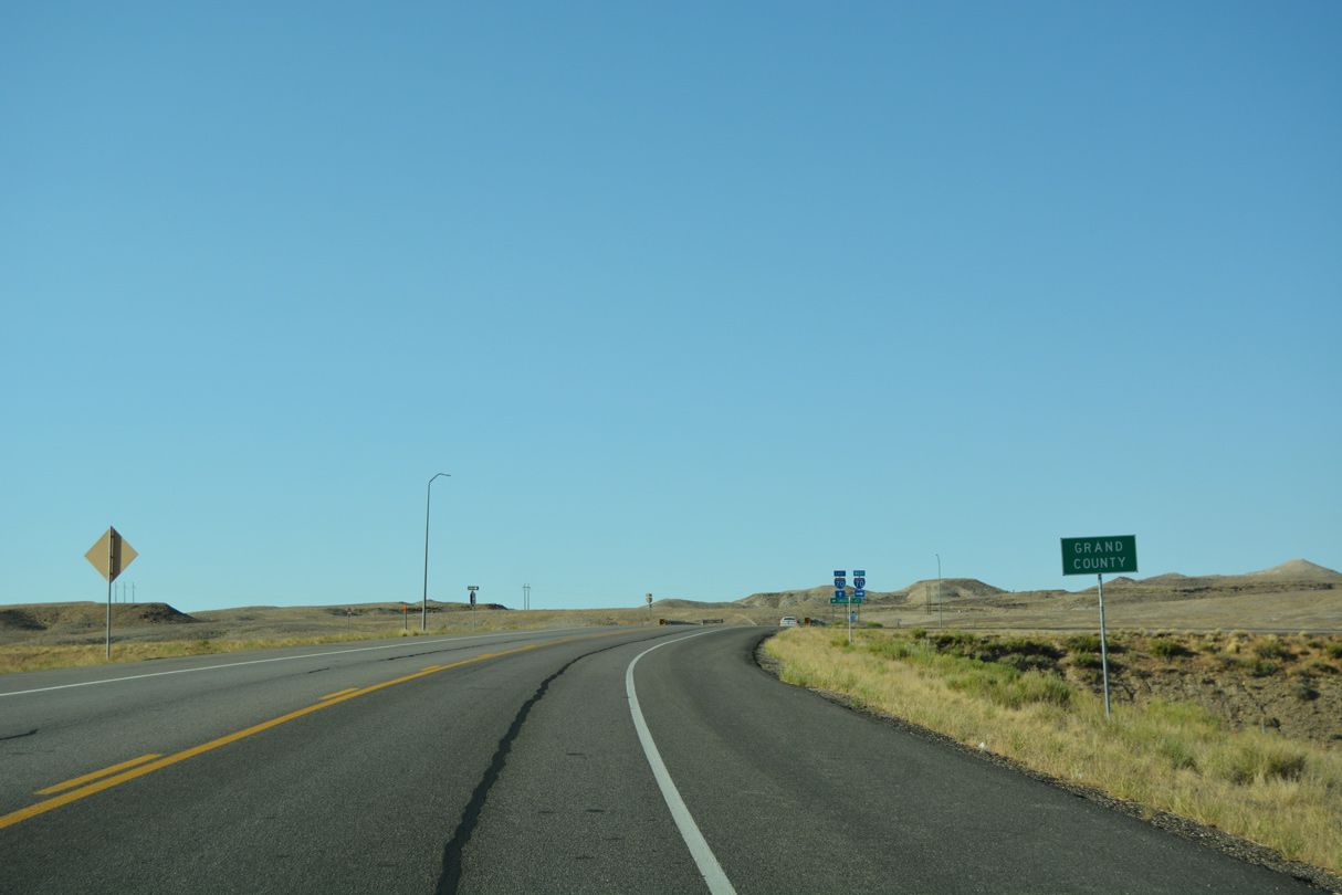
Expanding east to annexed areas, the Grand County coincides with the Green River city limits, expanding eastward so that Green River lies wholly within Emery County.
07/04/16
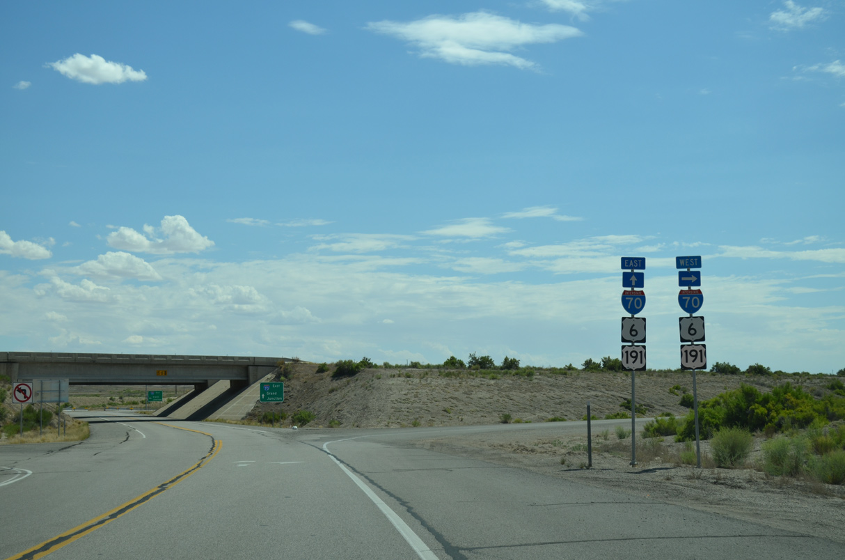
U.S. 6-50-191 are omitted from shields posted at the on-ramps for I-70 at the Business Loop east end.
07/04/16
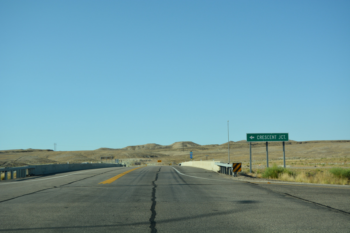
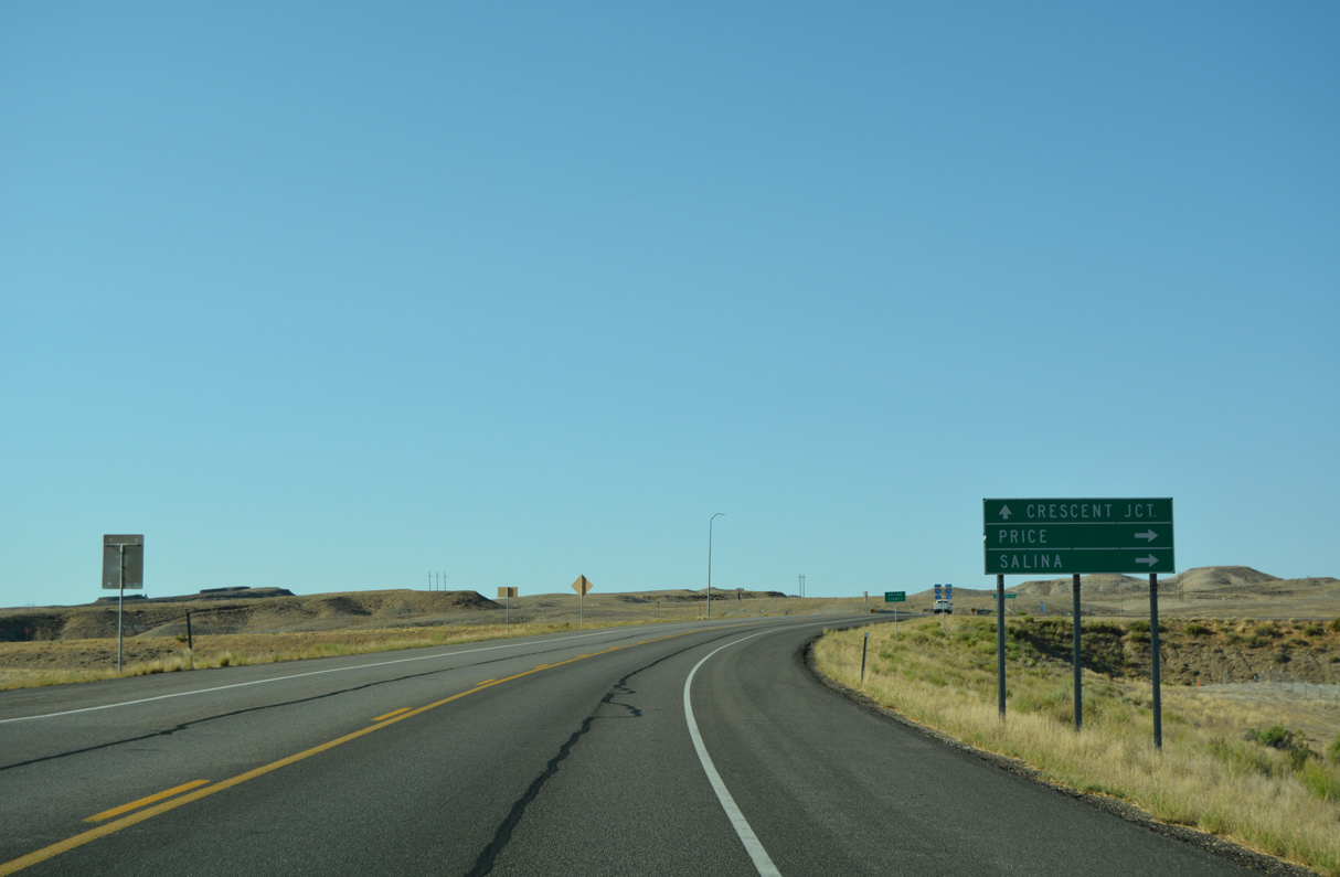
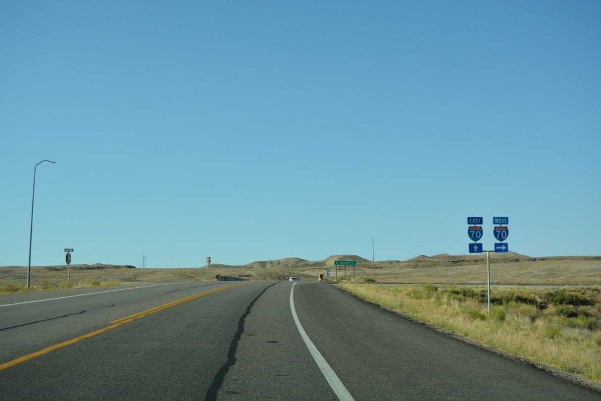
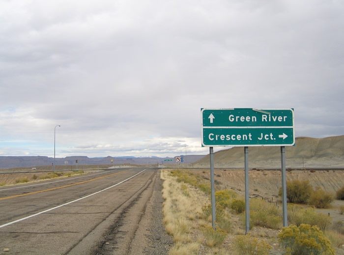
Crescent Junction is an 18 mile drive to the east. There U.S. 191 drops southeast toward Arches National Park, Moab and Monticello.
07/04/16
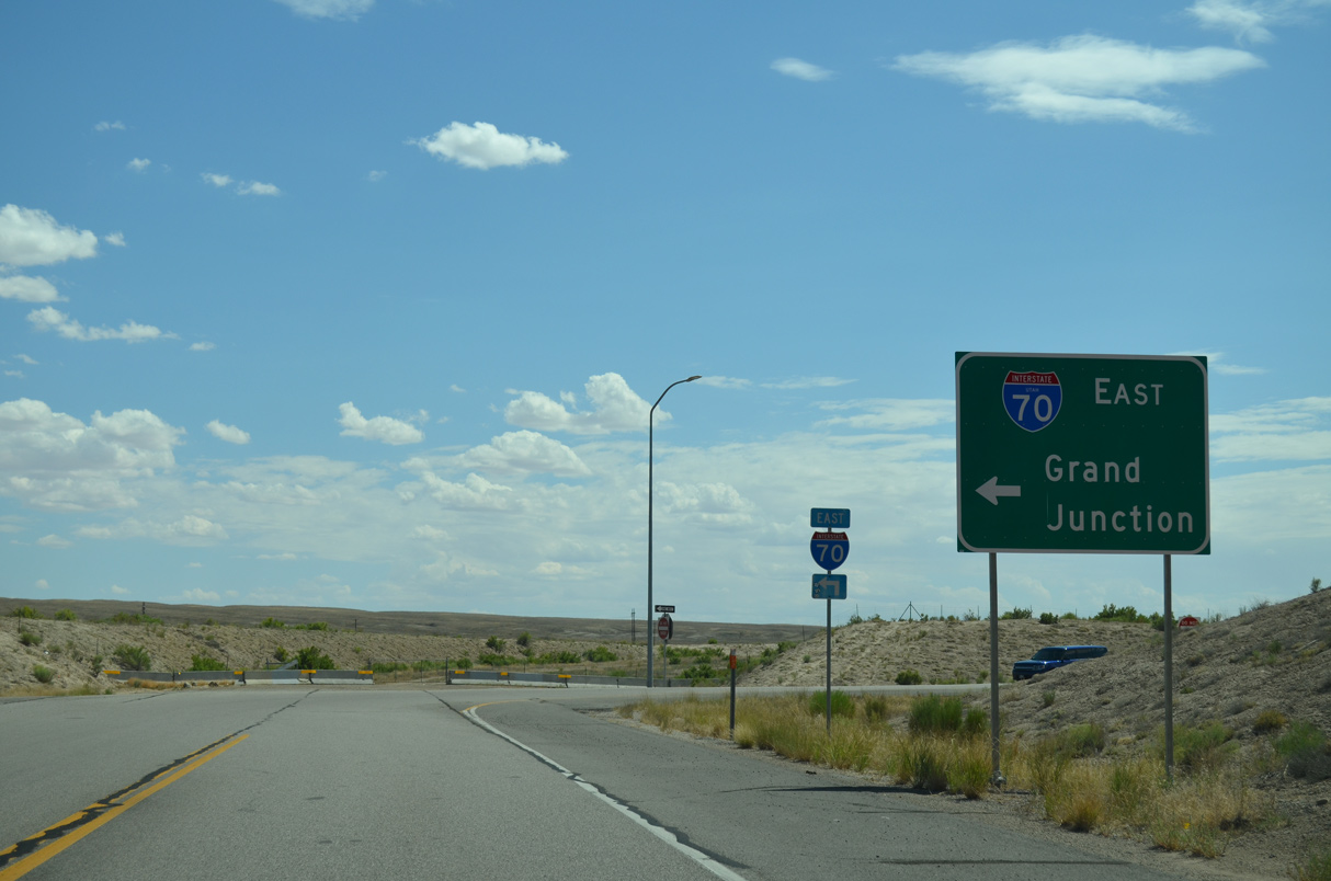
I-70/U.S. 6-50 overlap east to Grand Junction, Colorado. An end state maintenance sign ahead marks the conclusion of SR 19.
07/04/16
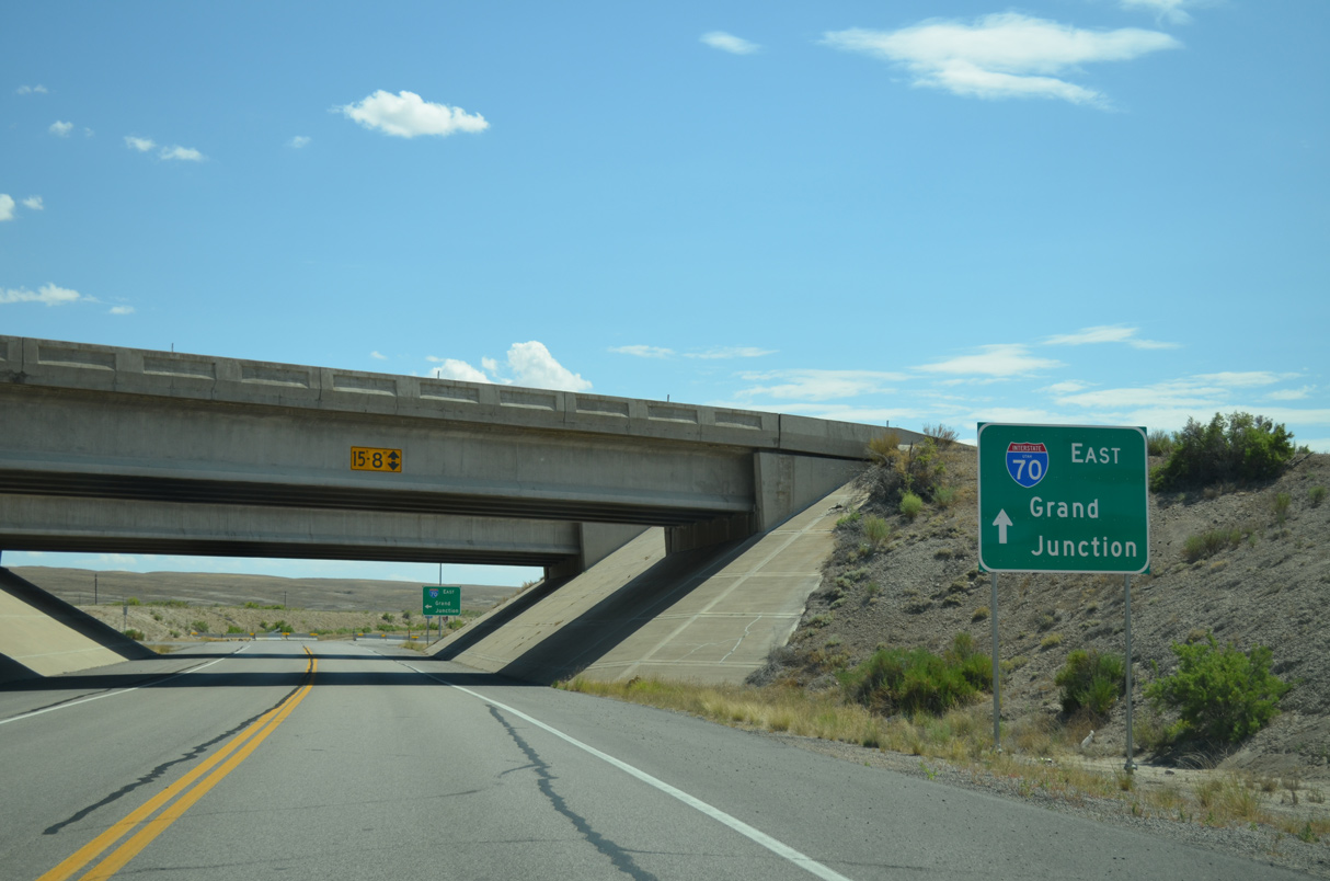
Main Street heads north from a local ranch road to become Business Loop I-70/SR 19 west at a diamond interchange (Exit 164) with Interstate 70. A button copy guide sign, replaced by 2012, preceded the ramps for I-70/U.S. 6-50-191.
10/18/04
Main Street passes over I-70/U.S. 6-50-191 as Business Loop I-70/SR 19 head north toward the Green River city center. The westbound entrance ramp for I-70 departs for Price and Salina.
10/18/04

The Green River city limits coincide with the Emery County line around annexed areas east of the Green River.
07/04/16
Business Loop I-70 spans a Union Pacific Railroad within a mile of the Green River city center.
07/04/16
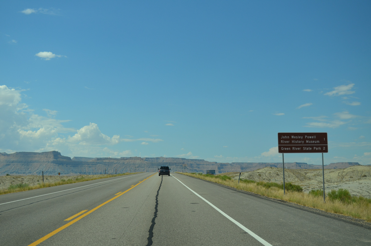
John Wesley Powell River History Museum lies one mile ahead along Main Street. Green River State Park is to the southwest along the west banks of the river.
07/04/16

Business Loop I-70/SR 19 (Main Street) curve northwest after the crossing of Browns Wash.
07/04/16
Business Loop I-70 and SR 19 overtake the original alignment of U.S. 6/50 west toward the Green River.
10/18/04
Located at an elevation of 4,078 feet above sea level, the city of Green River was incorporated in 1906 and home to 935 as of the 2020 Census.
07/04/16
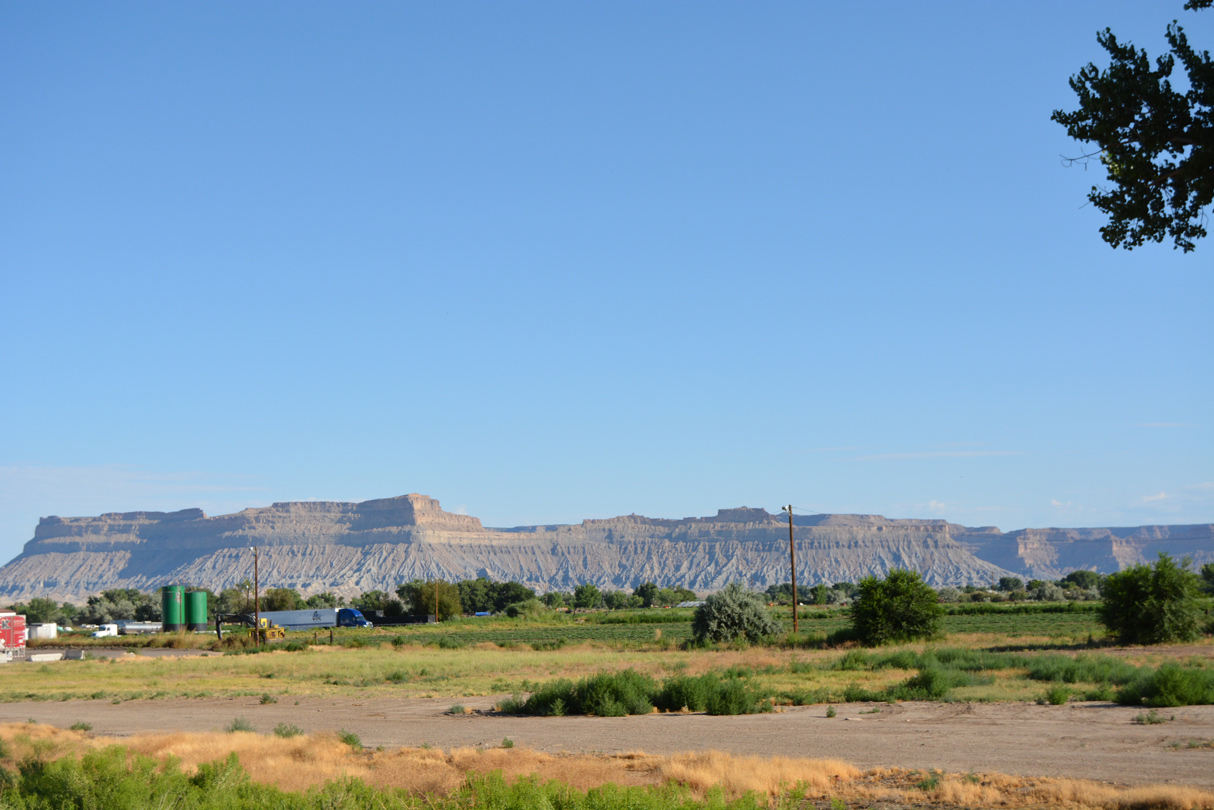
The Book Cliffs and Beckwith Plateau rise north of Green River.
07/04/16
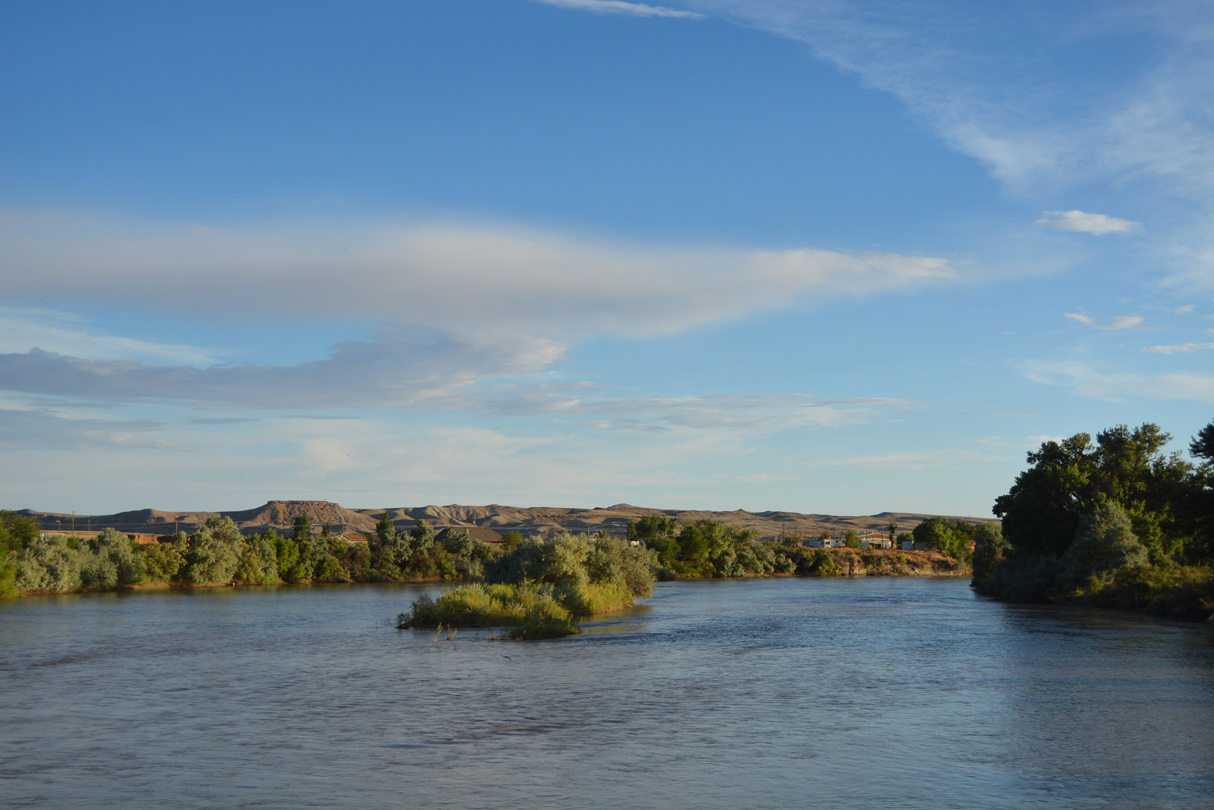
Green River derives its name from its position along the Green River. The waterway flows along Green River Valley, east of the city center.
07/04/16
Main Street west of 945 East and ahead of Green River City Hall.
07/04/16
Long Street connects Business Loop I-70/SR 19 (Main Street) with Green River Avenue and Airport Road to Green River Municipal Airport (RVR) southwest of the city.
07/04/16
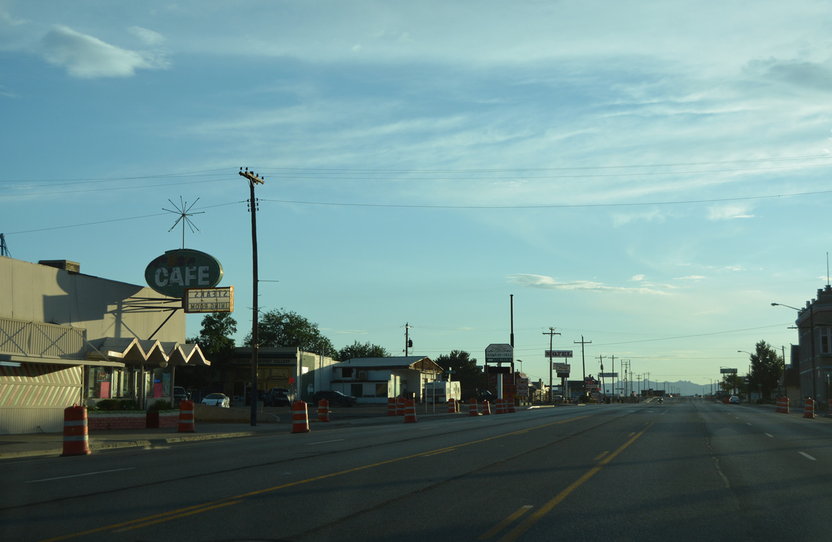
Main Street west at Broadway in the Green River business district.
07/03/16
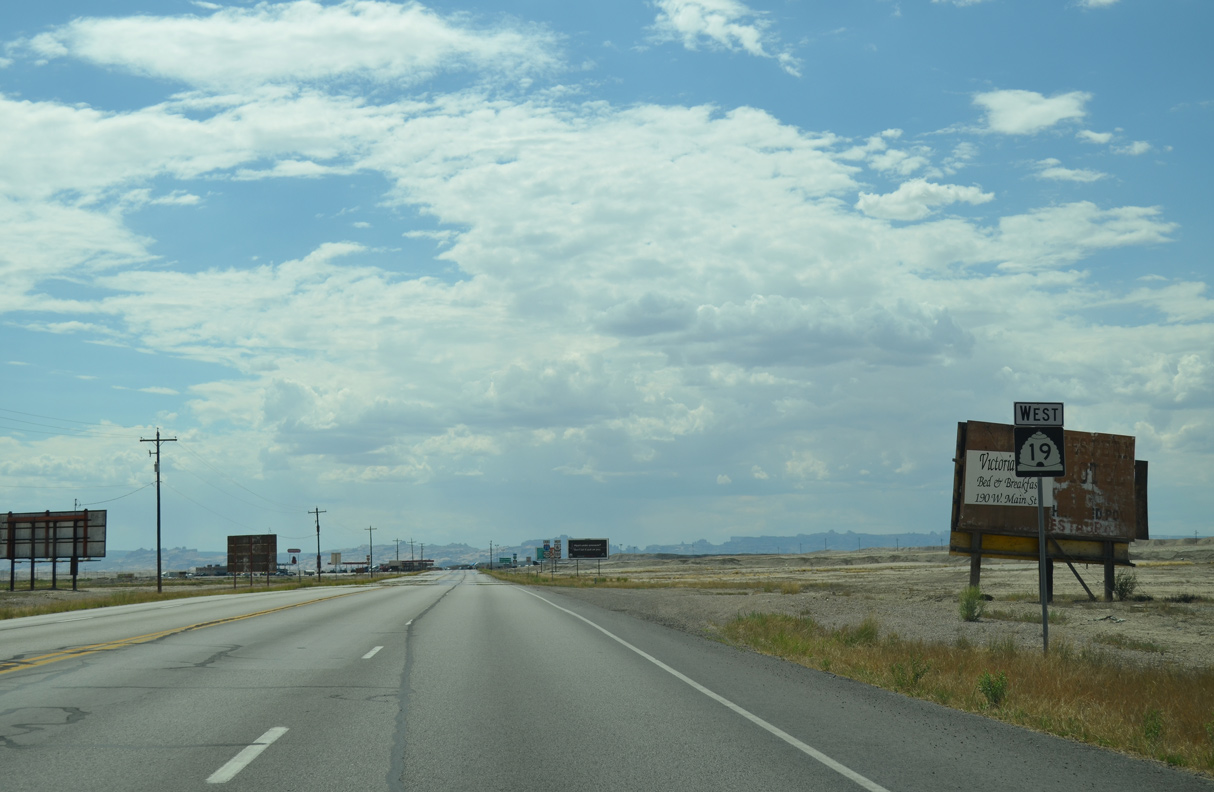
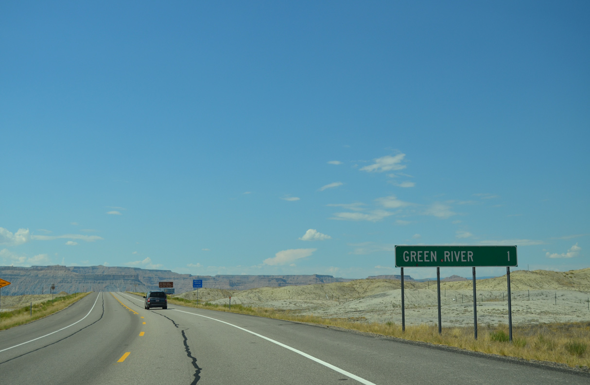
Advancing westward from the Green River street grid, Main Street reduces from five to four lanes ahead of this reassurance marker for SR 19.
07/04/16

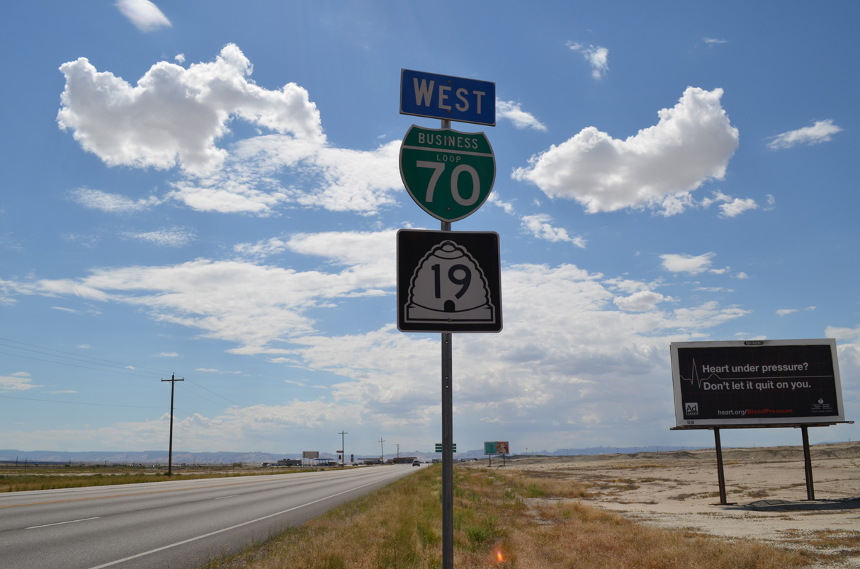
This trailblazer assembly posted along Main Street acknowledges all three U.S. highways co-signed with Interstate 70. U.S. 6-50-191 are sporadically signed along their respective overlaps with the freeway.
10/18/04
07/04/16
The last Business Loop I-70 reassurance marker follows as Main Street continues to two final gas stations.
07/04/16

A distance sign references Salina (via I-70/U.S. 50), Price (via U.S. 6/191) and Salt Lake City (via U.S. 6 and I-15). The sign is somewhat appropriate considering that the business loop follows the original U.S. 6/50 alignment through Green River.
07/04/16
Business Loop I-70 curves southwest to the diamond interchange with I-70/U.S. 6-50-191 at Exit 160.
07/04/16
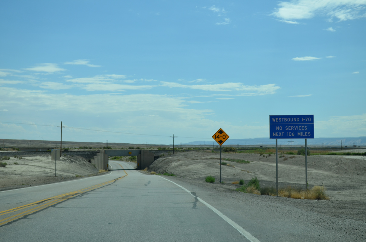
Green River provides the last motorist services along Interstate 70 west until Salina.
07/04/16
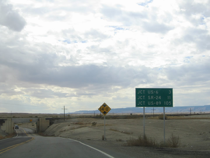
No longer posted, a second distance sign referenced the Interstate 70 split with U.S. 6/191 north, SR 24 west to Hanksville and U.S. 89, where U.S. 50 separates at Salina.
10/18/04
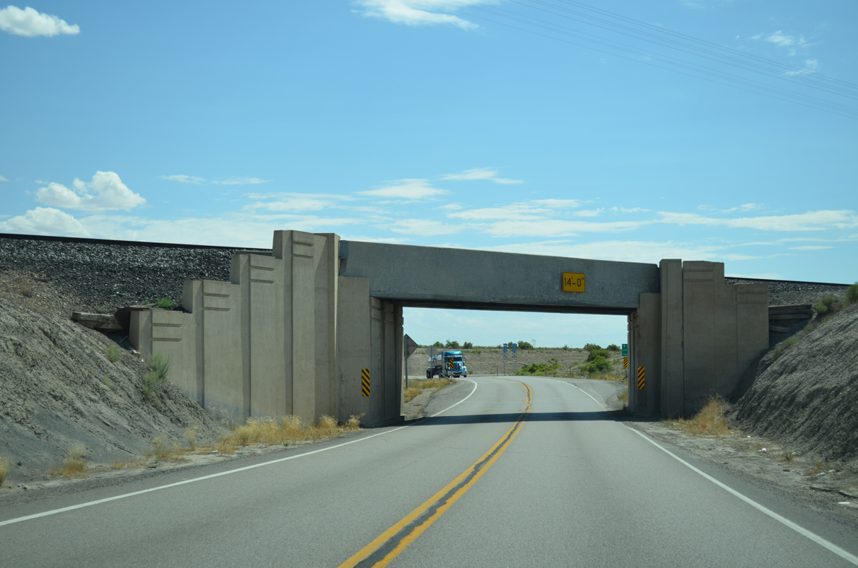
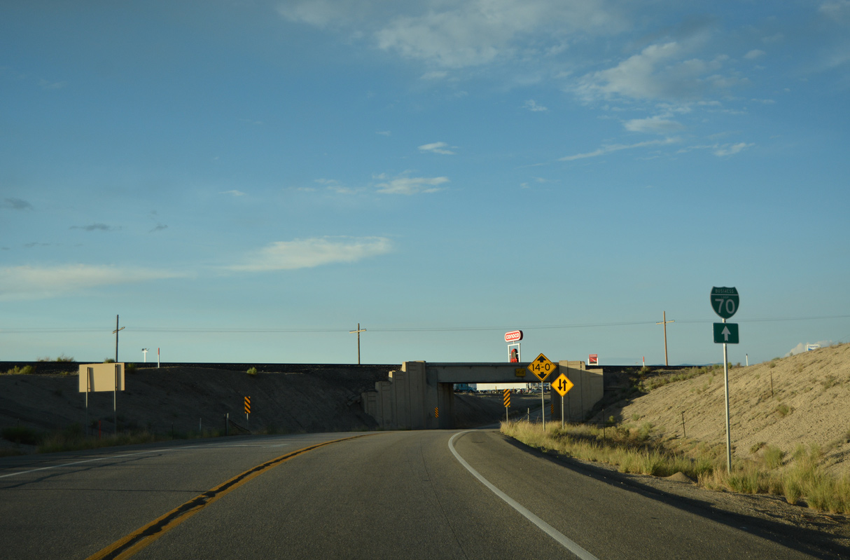
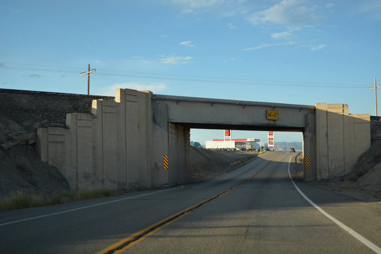
Business Loop I-70/SR 19 narrows through a two lane subway below a bridge built in 1938 for the Union Pacific Railroad.
07/04/16
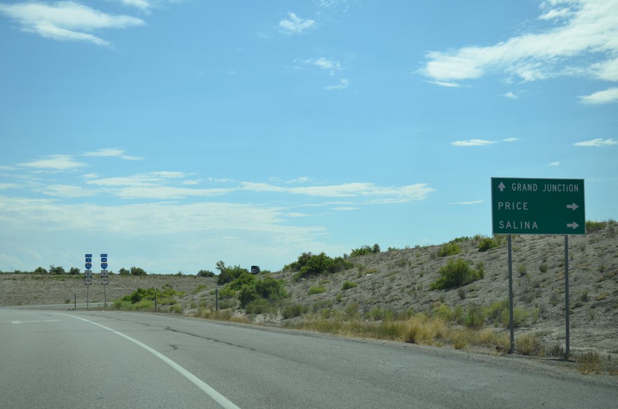
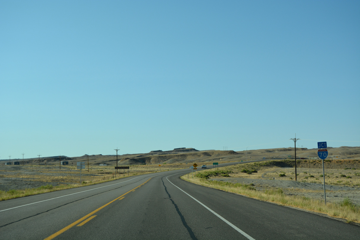
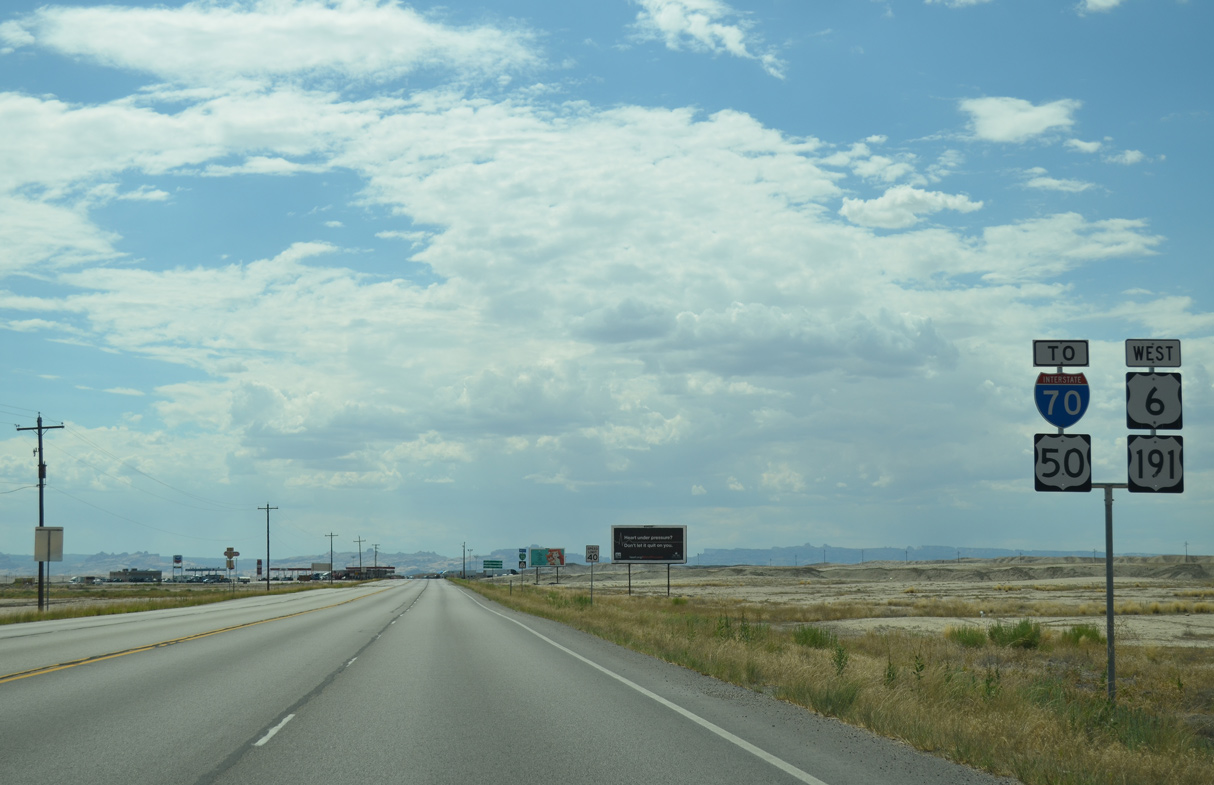
U.S. 6/191 branch northwest from Interstate 70 west in two miles for Price and the Wasatch Front metropolitan region.
07/04/16
U.S. 50 remains overlapped with I-70 west across the San Rafael Reef and San Rafael Swell 104 miles to Salina.
07/04/16
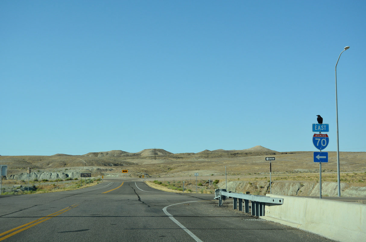
U.S. 191 combine with I-70 east 21.7 miles to Crescent Junction. U.S. 6/50 continue alongside the freeway 101 miles to Grand Junction, Colorado.
07/04/16
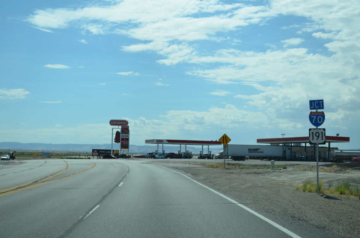
Business Loop I-70/SR 19 at the entrance ramp for I-70/U.S. 6-50-191 east. The old roadway for U.S. 6/50 was abandoned during construction of I-70.
07/04/16
Photo Credits:
- Alex Nitzman: 07/03/16, 07/04/16
- AARoads: 10/18/04
Connect with:
Page Updated Thursday February 24, 2022.