
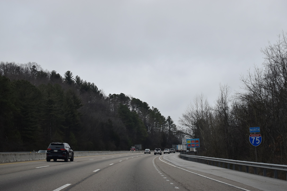
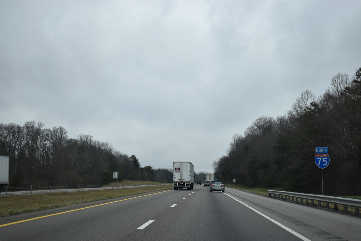
Interstate 75 North - Knoxville to Kentucky
 North
North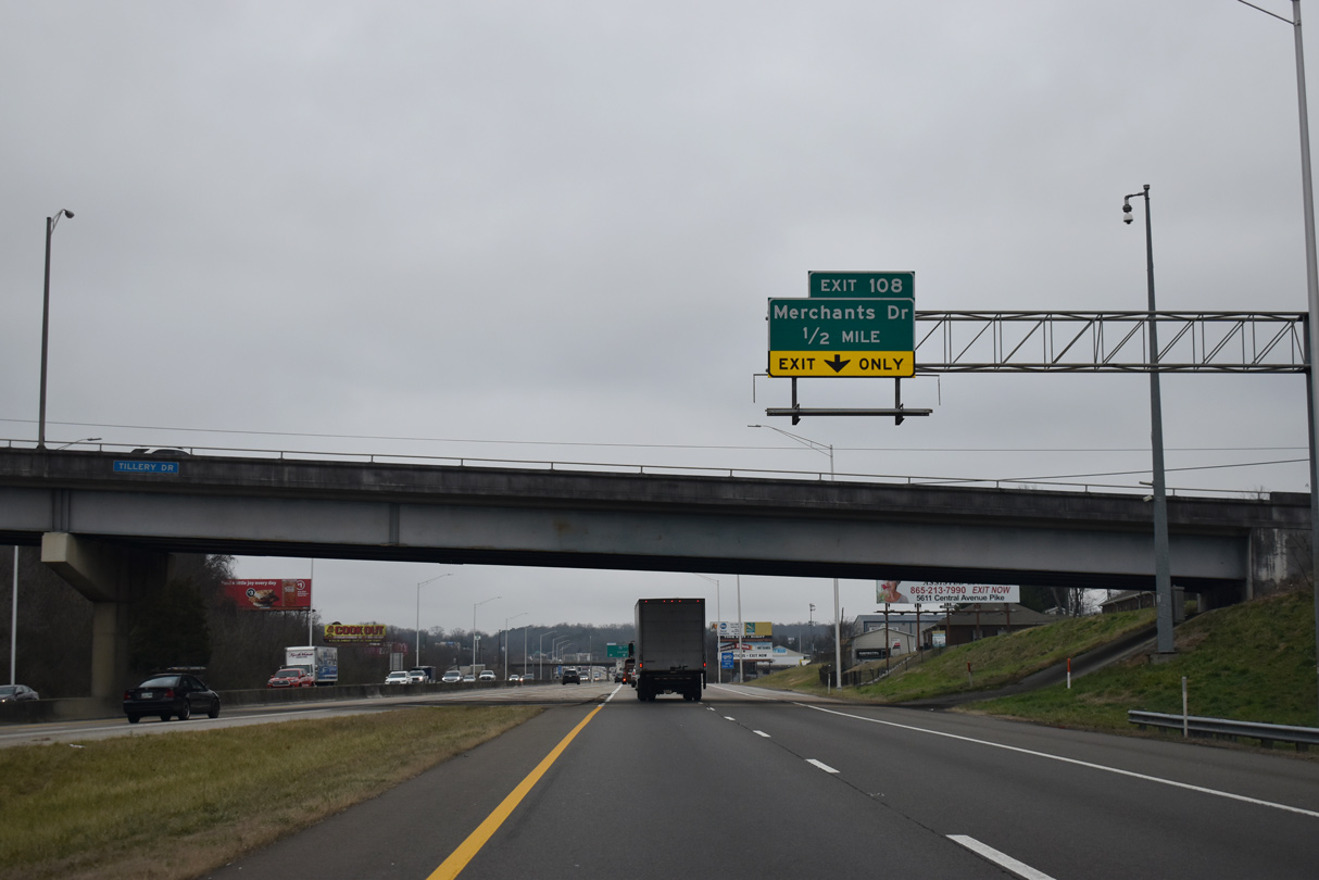
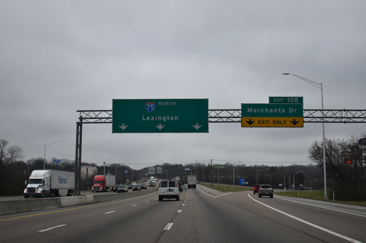
Forthcoming Exit 108 connects Interstate 75 north with Merchants Drive to the Inskip and Norwood communities in Knoxville.
01/16/19
01/16/19
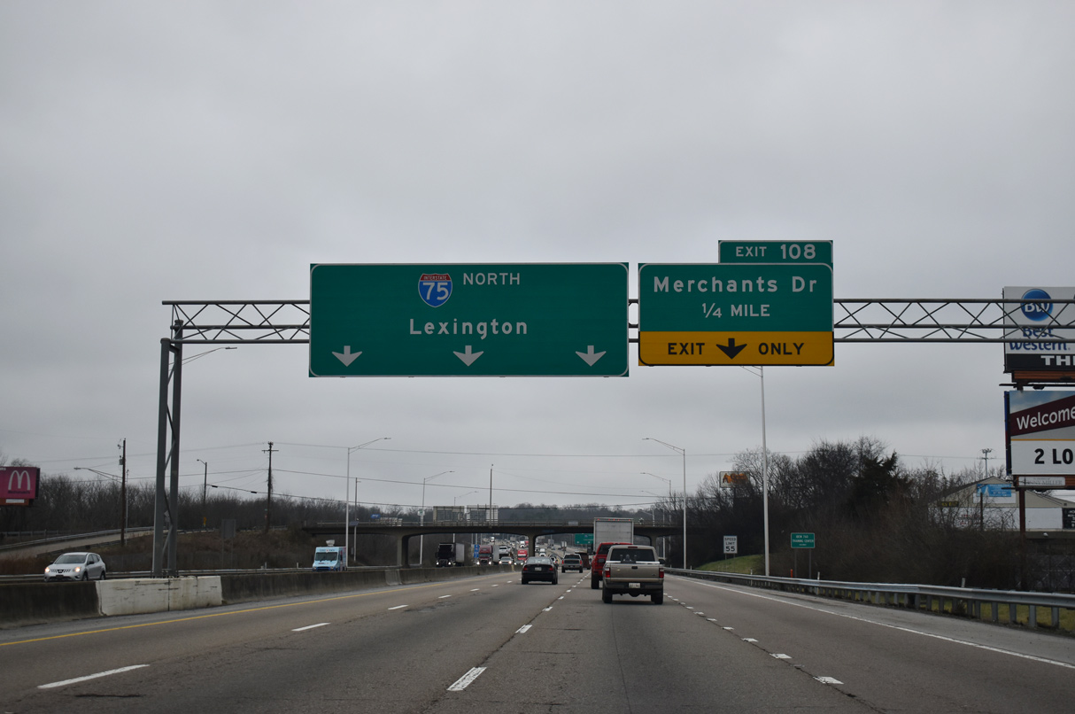
I-75 advances a quarter mile north to the diamond interchange (Exit 108) with Merchants Drive beyond the Inskip Drive overpass.
01/16/19
01/16/19
Merchants Drive runs east from Pleasant Ridge Road and U.S. 25W (Clinton Highway) to Central Avenue Pike and Cedar Lane.
01/16/19
01/16/19
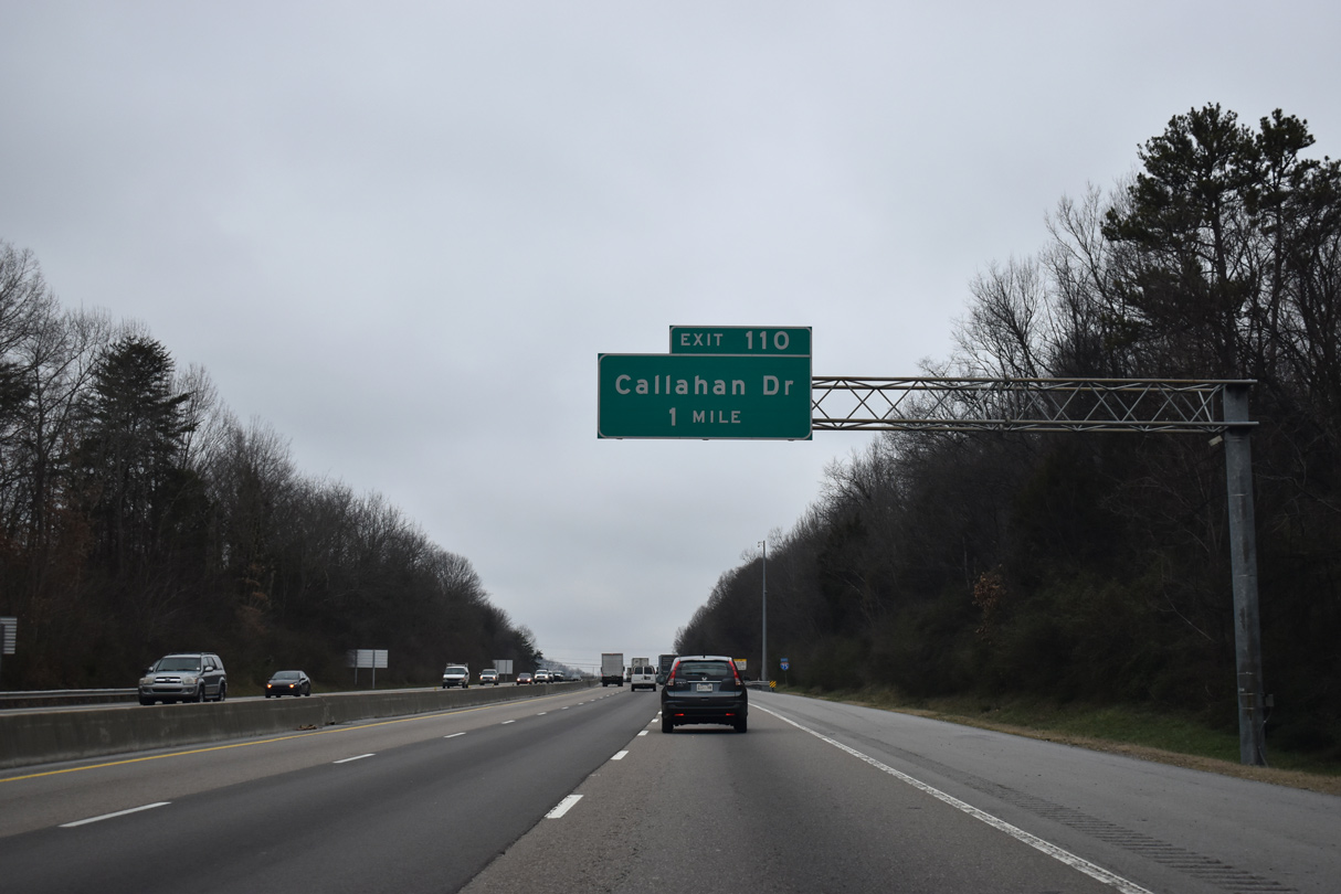
Interstate 75 north meets Callahan Drive at a diamond interchange (Exit 110) in one mile.
01/16/19
01/16/19
01/16/19
01/16/19
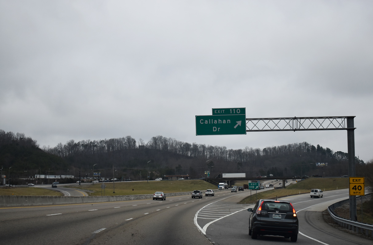
Callahan Drive runs across northern Knoxville from Central Avenue Pike at Dante west to U.S. 25W (Clinton Highway) and Schaad Road at Cherokee Ridge.
01/16/19
01/16/19
Interstate 75 shifts northeast through an S-curve across Beaver Ridge.
01/16/19
01/16/19
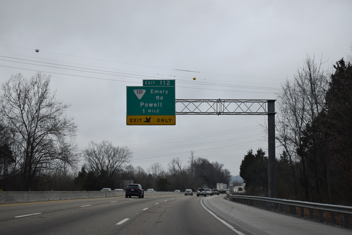
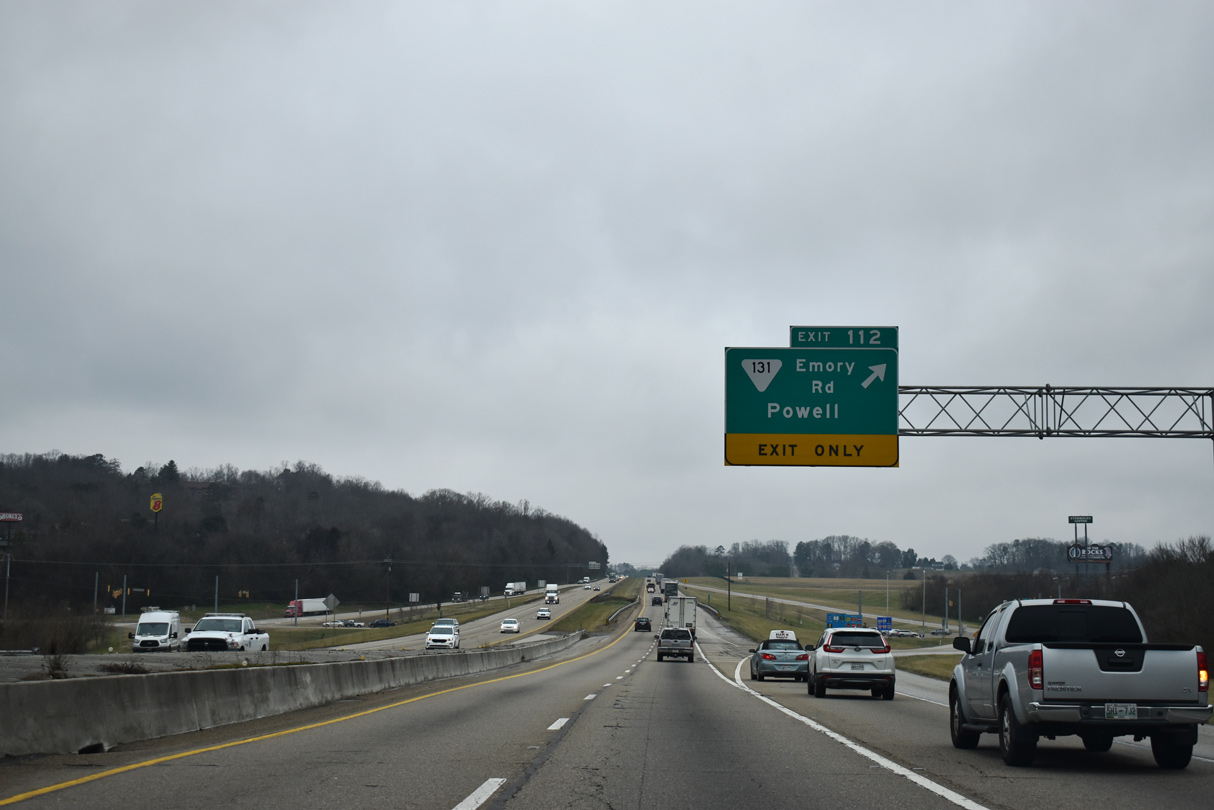
Continuing through the north Knoxville suburbs, the succeeding exit along Interstate 75 is for SR 131 (Emory Road).
01/16/19
01/16/19
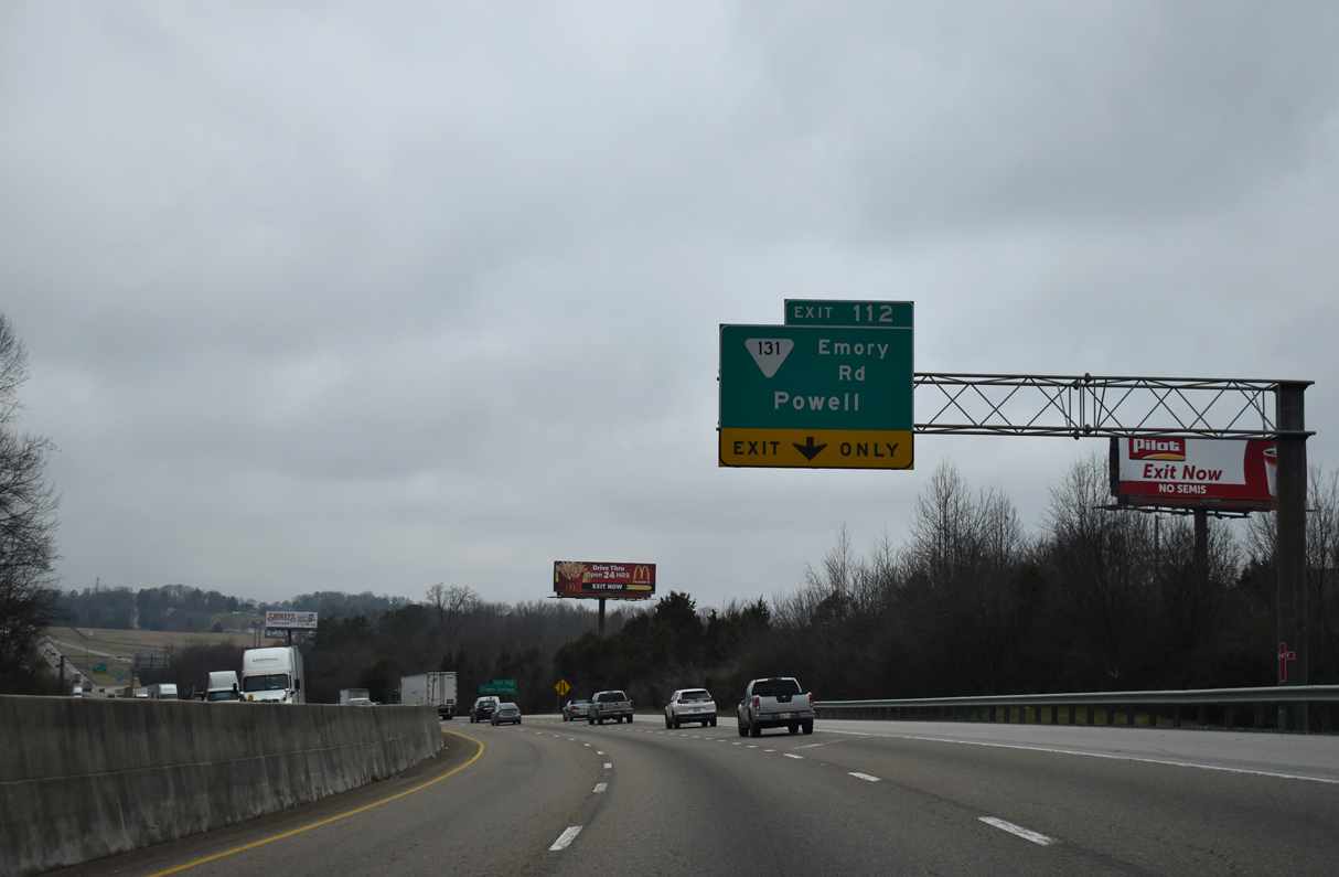
Northbound Interstate 75 reduces from three to two lanes at a diamond interchange (Exit 112) with SR 113 (Emory Road).
01/16/19
01/16/19
SR 113 runs 3.62 miles southwest to Powell and U.S. 25W (Clinton Highway) and northeast 4.56 miles to Halls Crossroads and U.S. 441 (Norris Freeway).
01/16/19
01/16/19
Interstate 75 progresses north to Stillhouse Hollow across Copper Ridge.
01/16/19
01/16/19
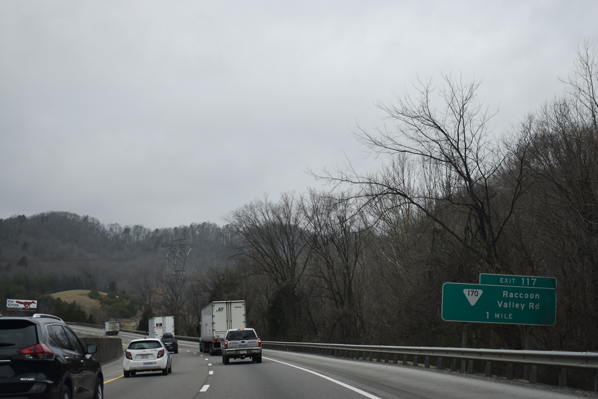
Interstate 75 navigates through a series of S-curves across Brushy Valley, Bullrun Creek and Bullrun Valley to Diggs Gap over Bullrun Ridge. A diamond interchange follows with SR 170 (Raccoon Valley Road) at Exit 117.
01/16/19
01/16/19
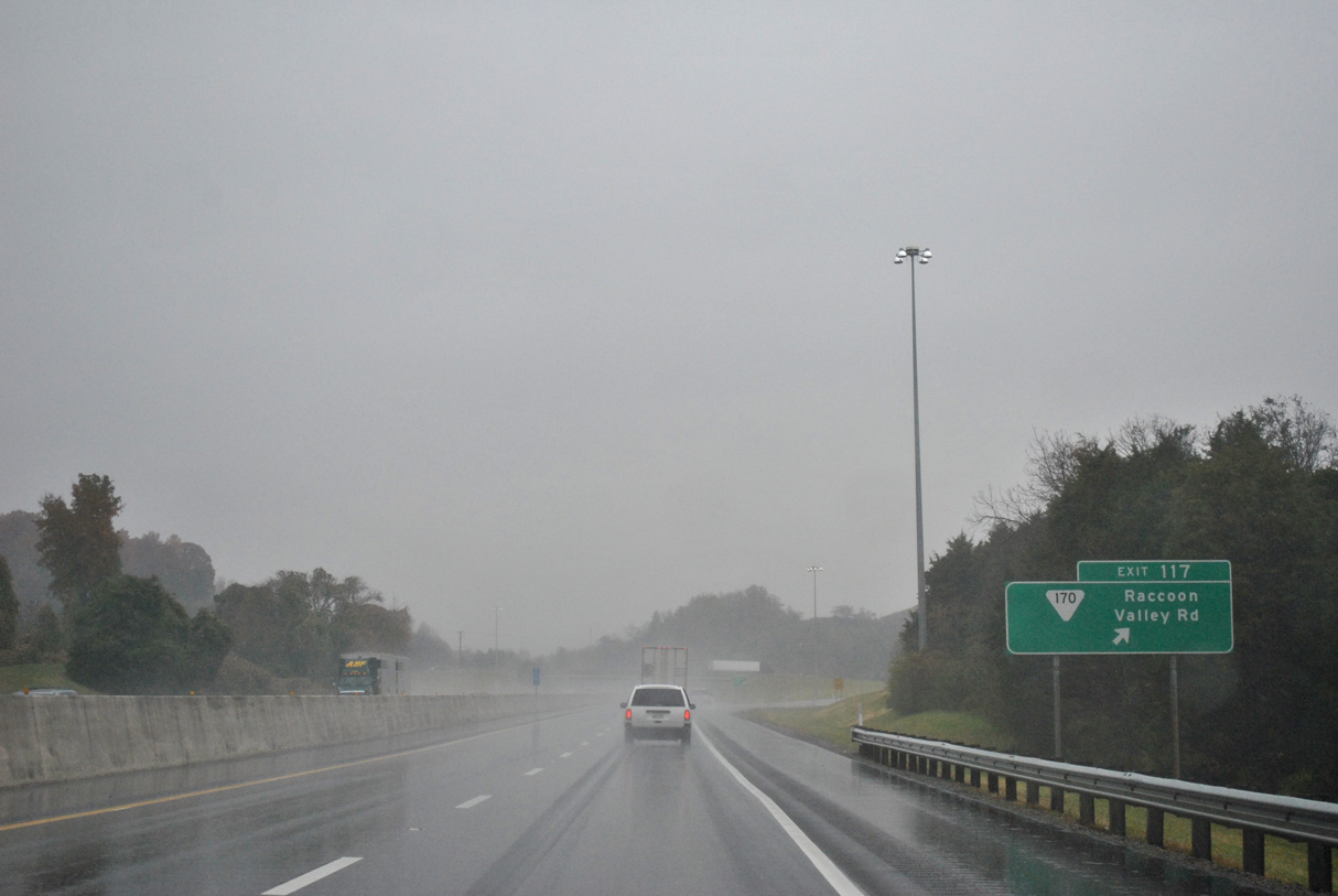
SR 170 (Raccoon Valley Road) runs southwest through Raccoon Valley to Heiskell and Claxton 6.18 miles to SR 62 near Oak Ridge. SR 117 concludes 2.22 miles to the northeast at U.S. 441 (Norris Freeway) and Cedar Grove.
11/03/11
11/03/11
Interstate 75 north ascends across Flint Ridge to the Anderson County line on Chestnut Ridge.
01/16/19
01/16/19
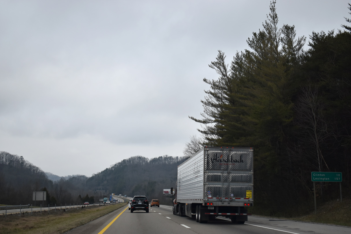
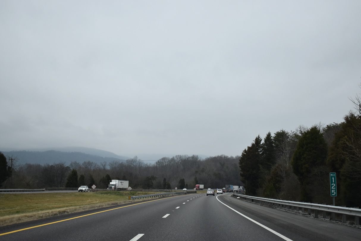
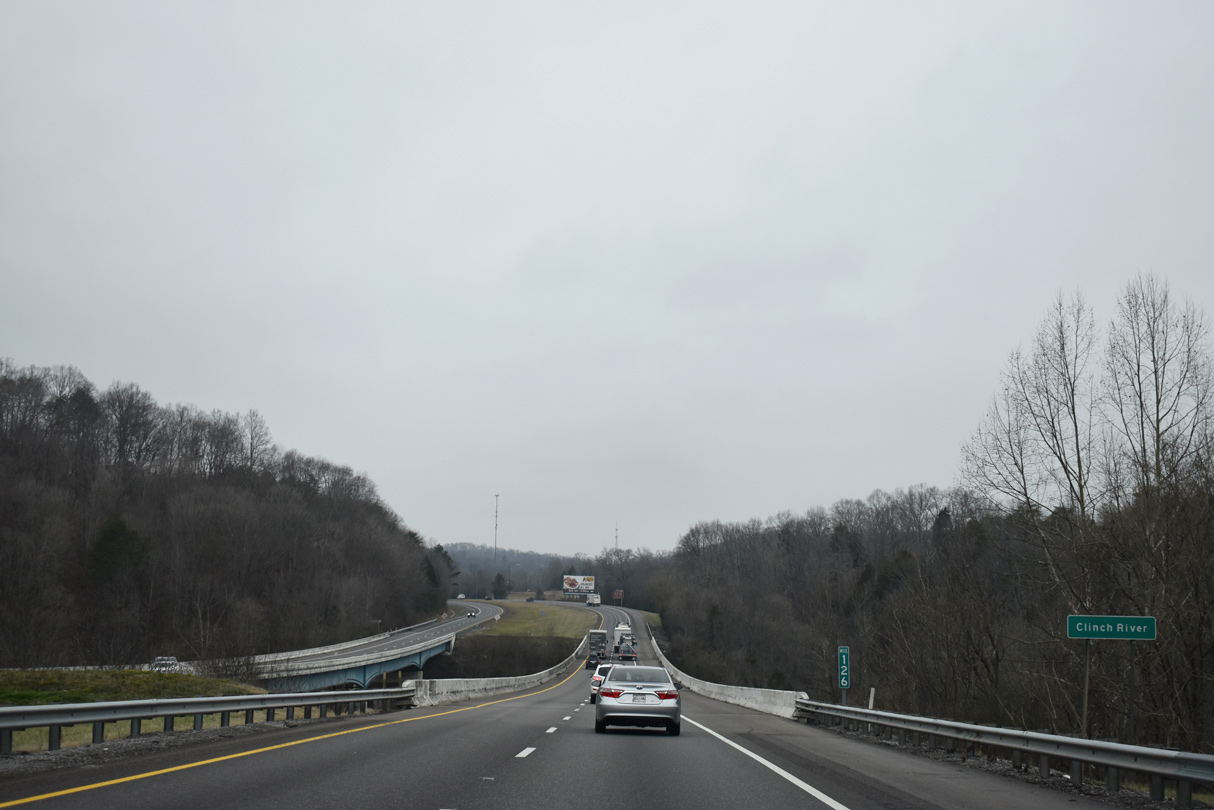
Clinton is ten miles to the west beyond Bluebird Ridge and Lone Mountain along SR 61 and the Clinch River.
01/16/19
01/16/19
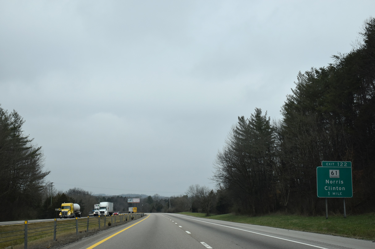
Continuing from Lone Mountain, the ensuing exit joins Interstate 75 with SR 61 (Charles G. Seviers Boulevard) just outside the Clinton city limits.
01/16/19
01/16/19
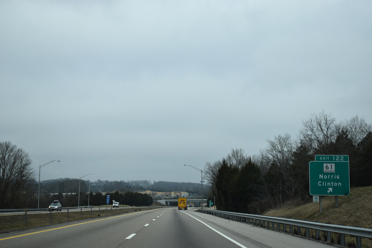
Northeast from the diamond interchange at Exit 122, SR 61 heads to Bethel, U.S. 441 at the city Norris and Andersonville through Big Valley.
01/16/19
01/16/19
01/16/19
01/16/19
01/16/19
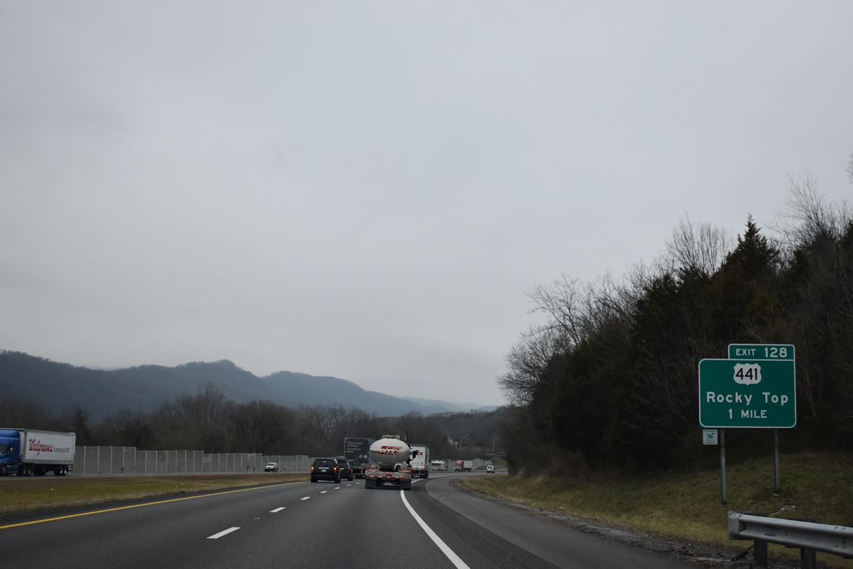
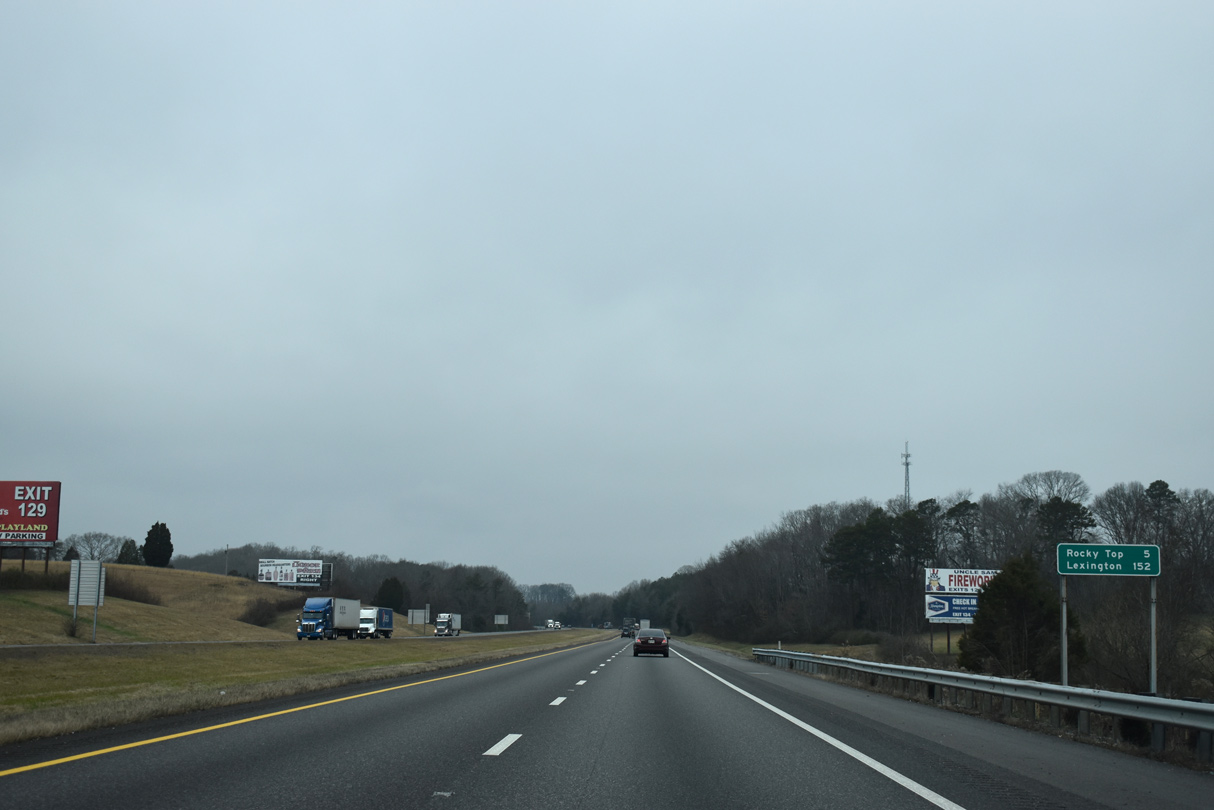
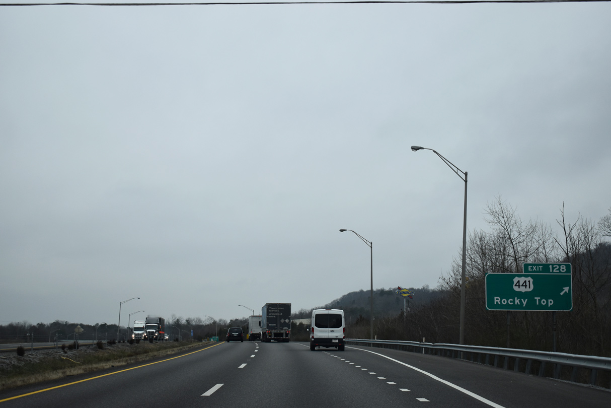
U.S. 441 (Norris Freeway) meets Interstate 75 for the first time since Lake City, Florida at Rocky Top. Formerly Lake City, I-75 enters the city of Rocky Top ahead of the parclo interchange (Exit 128) with Norris Freeway.
01/16/19
01/16/19
U.S. 441 (Norris Freeway) concludes 0.38 miles west of I-75 at U.S. 25W/SR 116 (Main Street) in Rocky Top. East from Exit 128, U.S. 441 meanders to Norris Dam State Park, Norris Lake and Norris Dam.
01/16/19
01/16/19
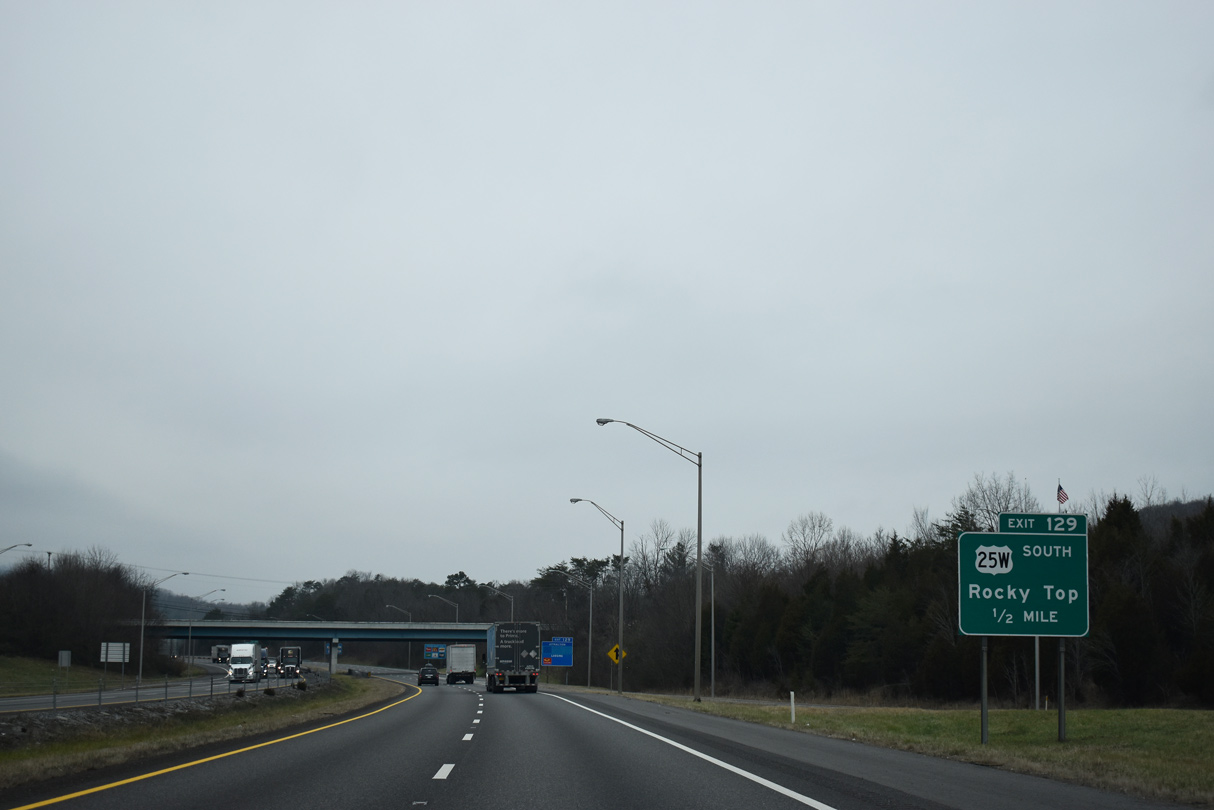
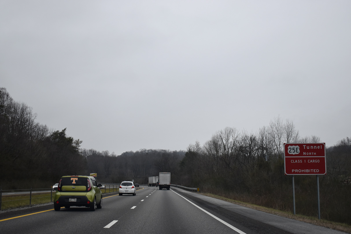
U.S. 25W follows Main Street north from U.S. 441 (Norris Freeway) to combine with Interstate 75 north at Exit 129. Tennessee State Route 116 follows old U.S. 25W north 5.88 miles to Caryville.
01/16/19
01/16/19
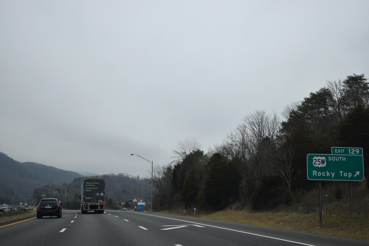
Entering the diamond interchange at Exit 129 with U.S. 25W south and SR 116 (Main Street) in north Rocky Top.
01/16/19
01/16/19
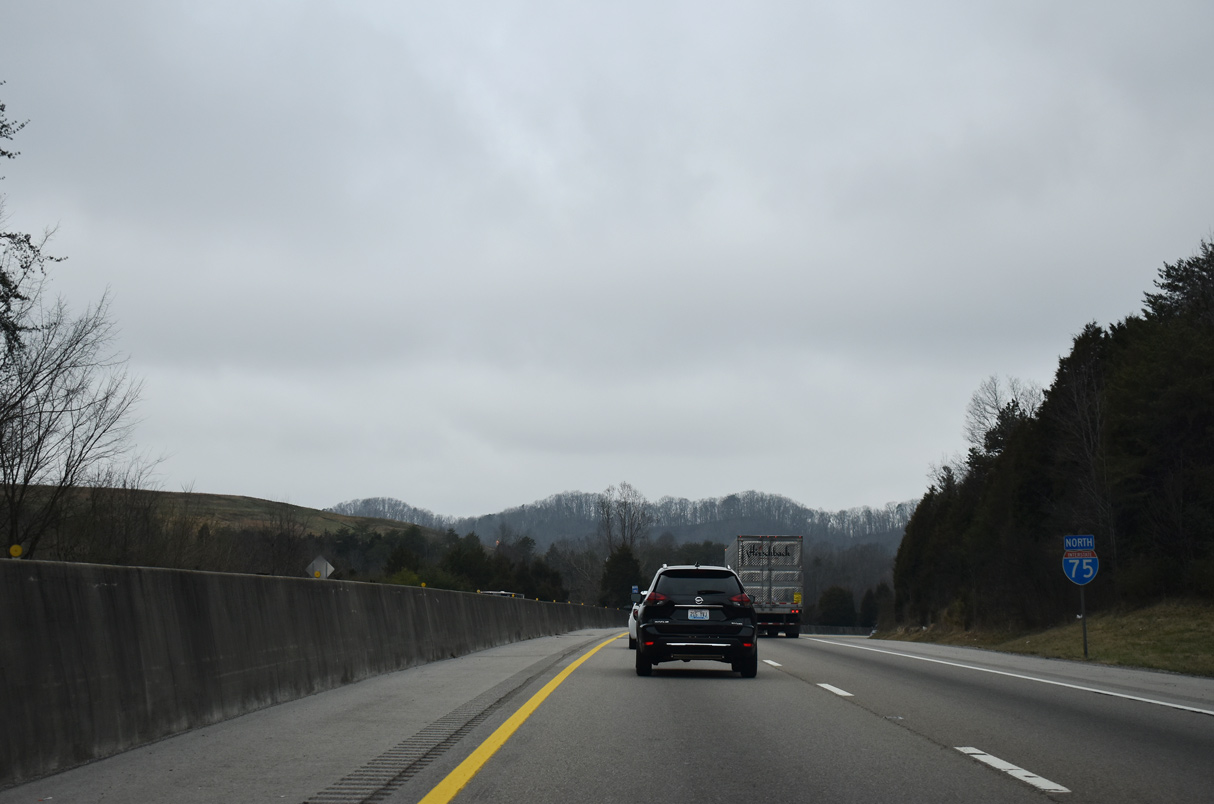
 North
North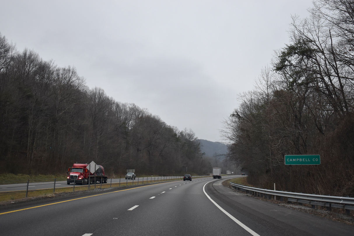
I-75/U.S. 25W and parallel SR 116 cross into Campbell County east of Walden Ridge en route to Caryville.
01/16/19
01/16/19
01/16/19
01/16/19
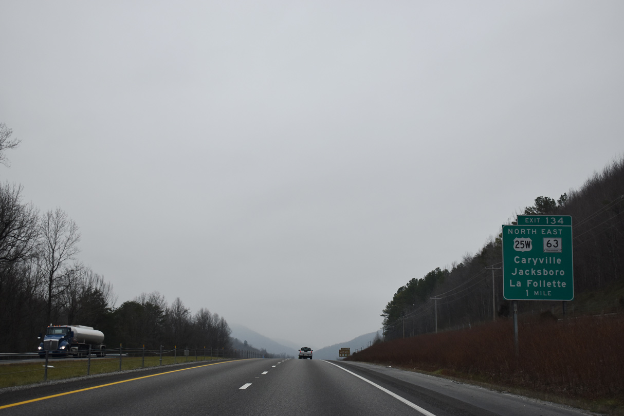
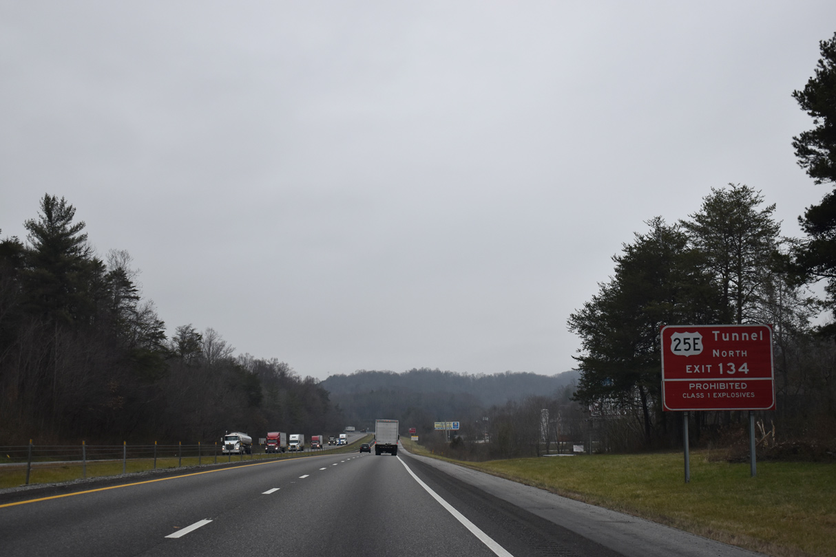
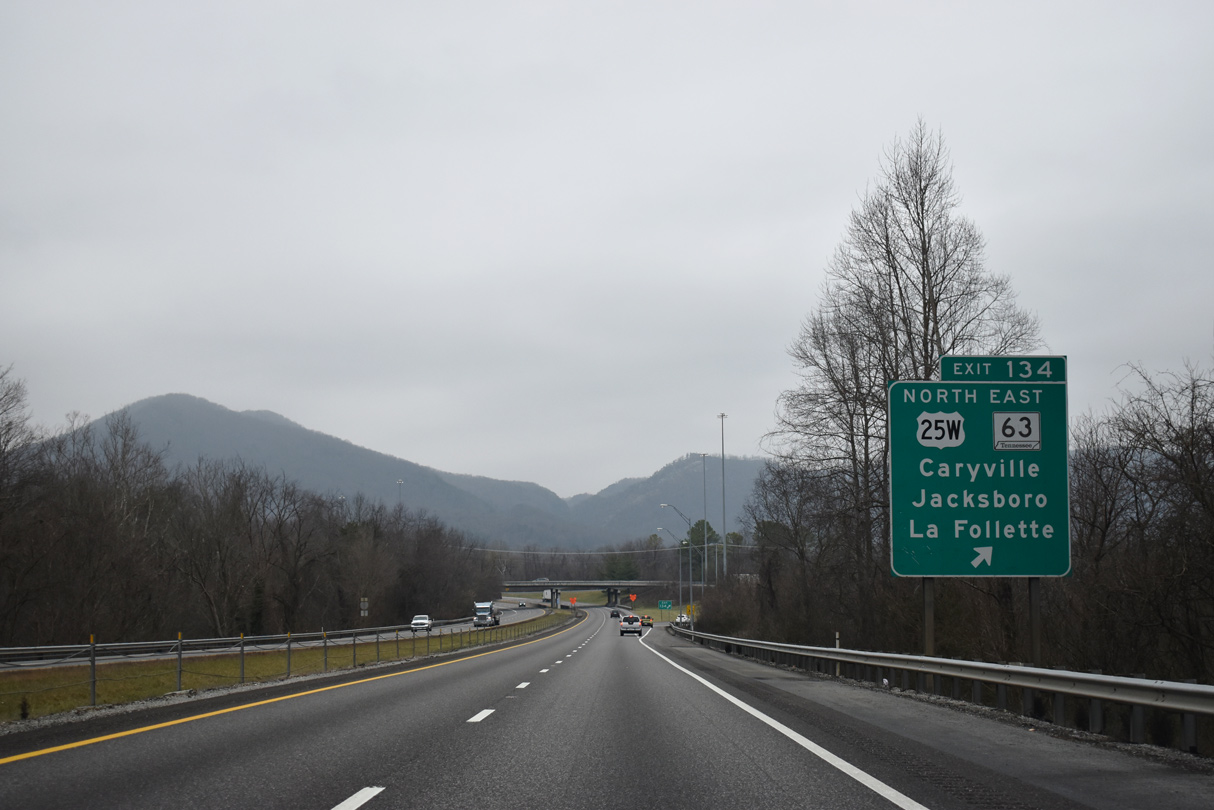
I-75/U.S. 25W overlap 5.66 miles north through Indian Gap to Exit 134 in Caryville. U.S. 25W runs northeast from SR 116 (John McGhee Boulevard) by Cove Lake State Park through Powell Valley to Jacksboro and La Follette.
01/16/19
01/16/19
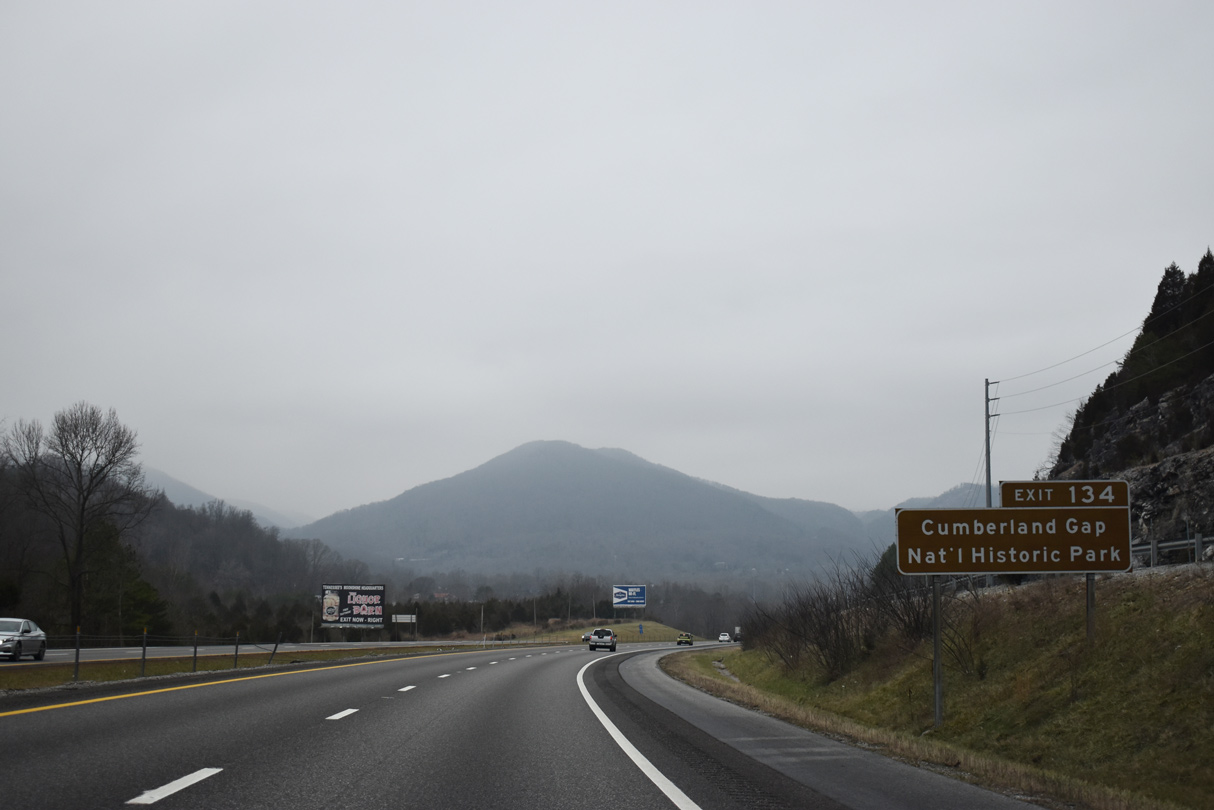
U.S. 25W (Veterans Memorial Highway) combines with SR 63 in La Follette, 8.23 miles from Exit 134 at Caryville. SR 63 continues 32 miles east to U.S. 25E and Cumberland Gap National Historic Park. Justin P. Wilson Cumberland Trail State Park extends from Signal Point near Chattanooga 300 miles northeast to Cumberland Gap at the state line.
01/16/19
01/16/19
Northbound Interstate 75 at the parclo interchange (Exit 134) with U.S. 25W/SR 63 (Veterans Memorial Highway) east to Jacksboro and Old SR 63 northwest to High Point.
01/16/19
01/16/19

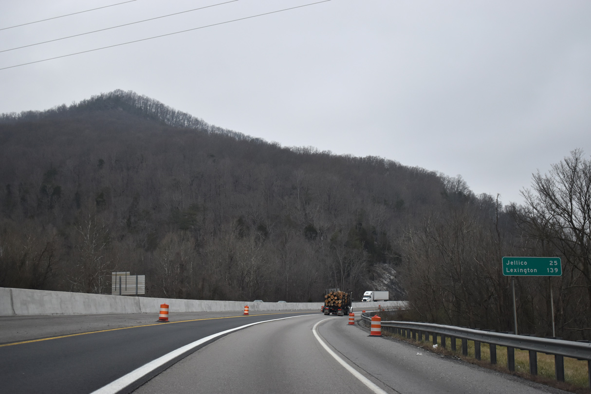
SR 63 accompanies I-75 north 6.42 miles to Exit 141 near Royal Blue.
01/16/19
01/16/19
I-75 north/SR 63 west travel through Bruce Gap between Fork and Cumberland Mountains on the ensuing stretch.
01/16/19
01/16/19
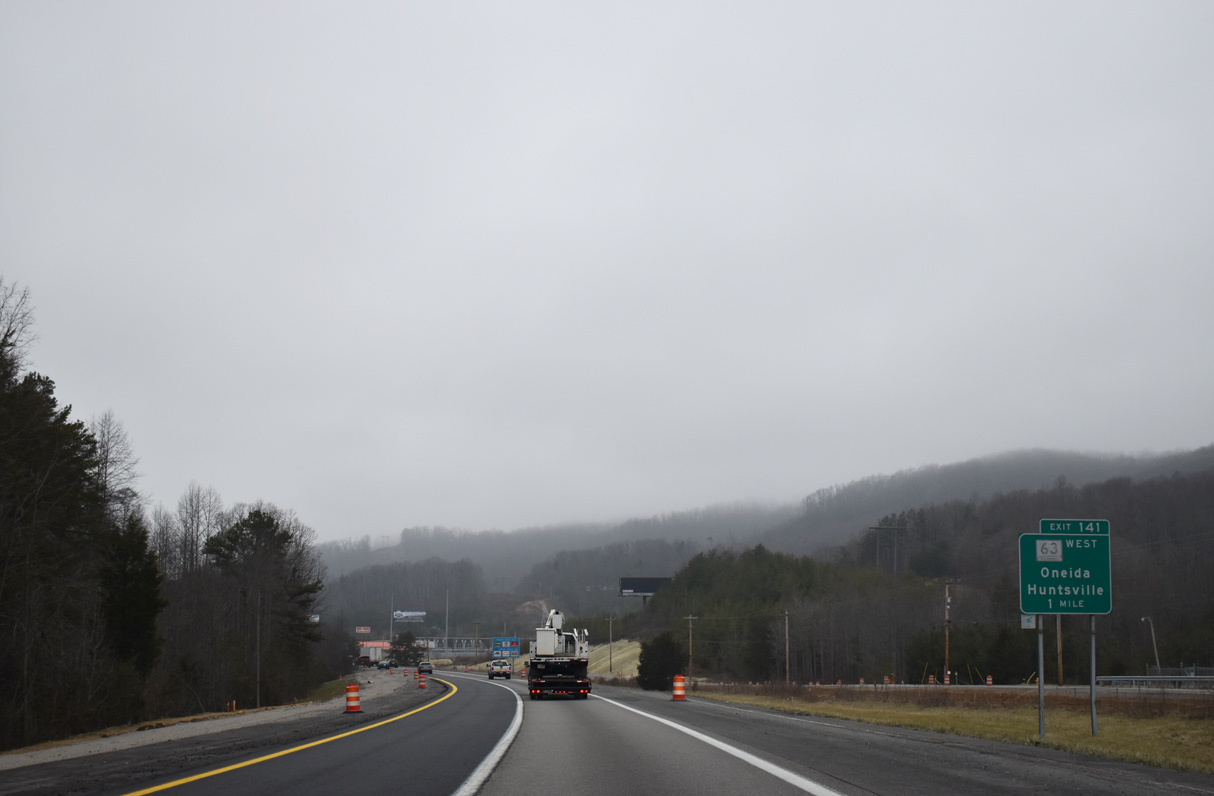
SR 63 leaves Interstate 75 at a diamond interchange (Exit 141), following Howard Baker Highway west to Royal Blue and SR 297 at Pioneer.
01/16/19
01/16/19
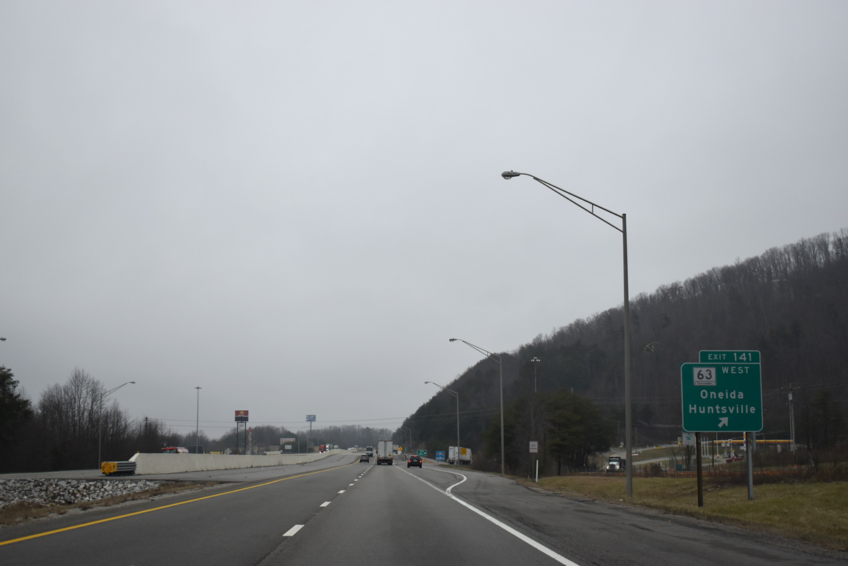
I-75 north and SR 63 part ways at Exit 141 (Luther Seiber Lane south / Howard Baker Highway north). SR 63 leads west 18.30 miles to the Scott County seat of Huntsville.
01/16/19
01/16/19
North
01/16/19
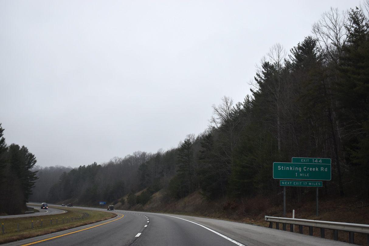
Stinking Creek Road crosses paths with I-75 at a folded diamond interchange (Exit 144) between Chestnut Ridge and Little Cumberland Mountain.
01/16/19
01/16/19
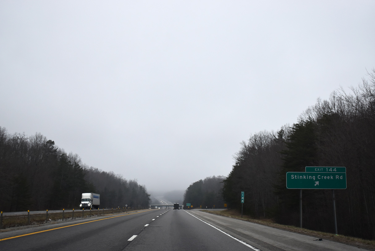
Stinking Creek Road south straddles Chestnut Ridge to SR 63 at Sharp Gap and winds northeast along Stinking Creek to U.S. 25W near Morley.
01/16/19
01/16/19
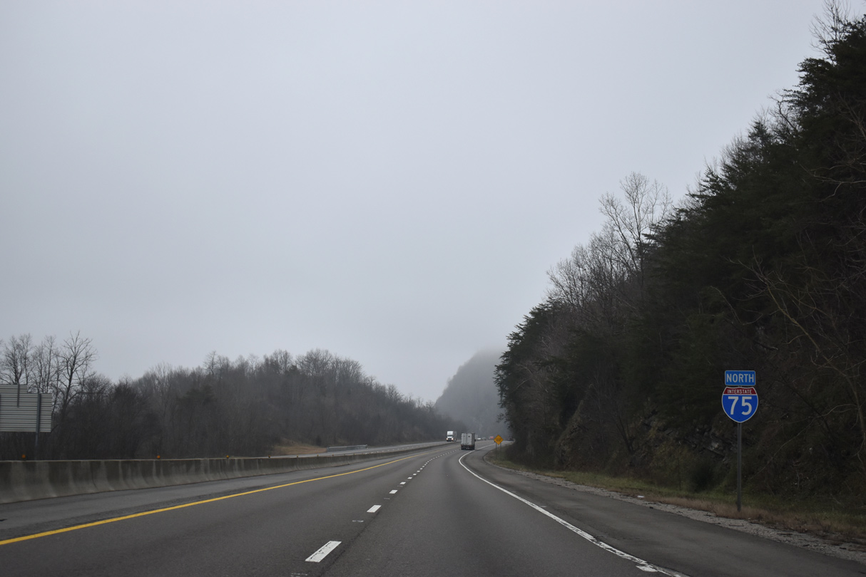
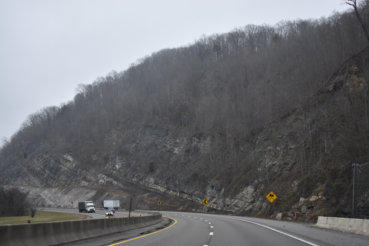
Interstate 75 runs northeast along Pine Mountain and Hells Point Ridge.
01/16/19
01/16/19
01/16/19
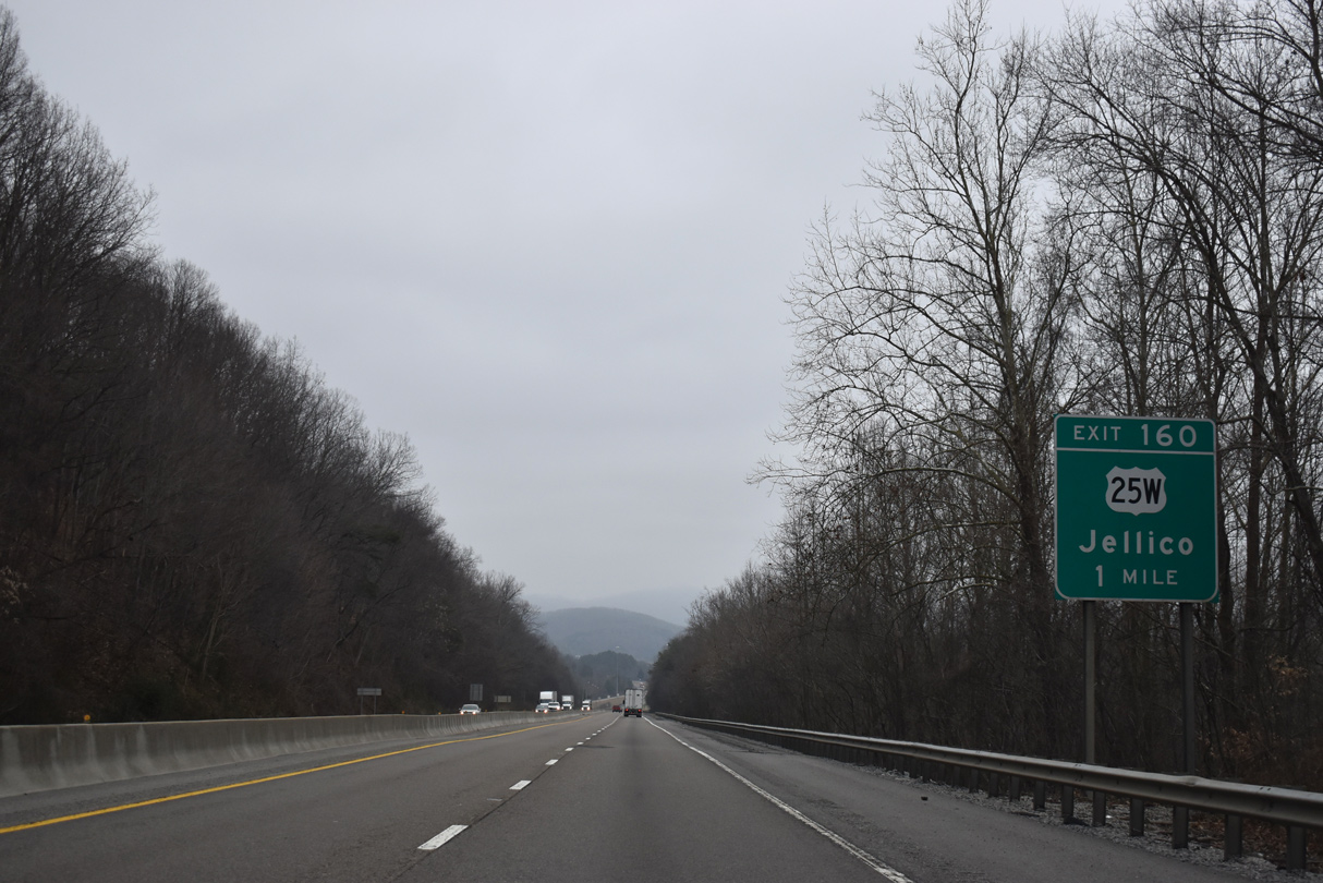
Entering the city of Jellico, I-75 passes Queener Hill ahead of the parclo interchange (Exit 160) with U.S. 25W (5th Street).
01/16/19
01/16/19
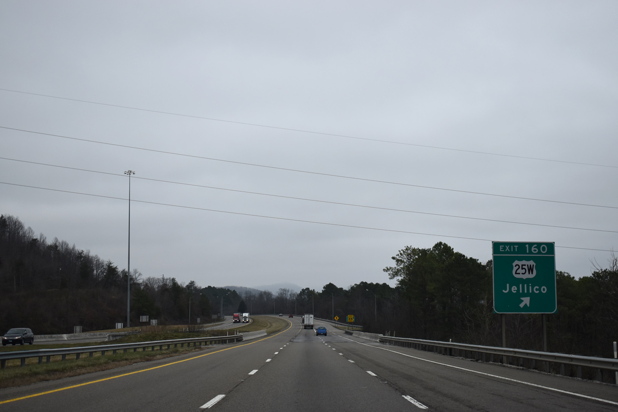
U.S. 25W loops east across Pine Mountain and south to Holton and Morley. West from Exit 160, U.S. 25W (5th Street) leads 1.05 miles to SR 297 at N Main Street in Jellico.
01/16/19
01/16/19

01/16/19
01/16/19
01/16/19

Photo Credits:
- Brent Ivy: 01/16/19
- ABRoads: 11/03/11
Connect with:
Page Updated Monday June 28, 2021.