
Interstate 75 South - Kentucky to Knoxville
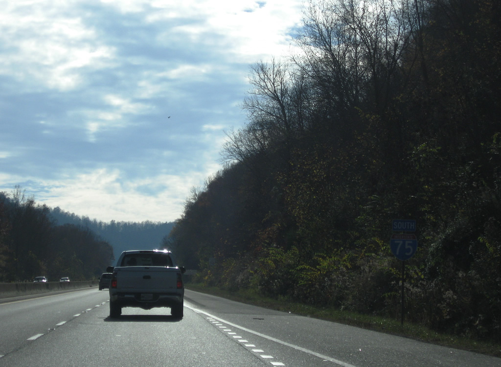
 South
South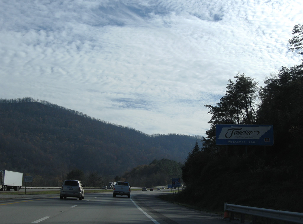
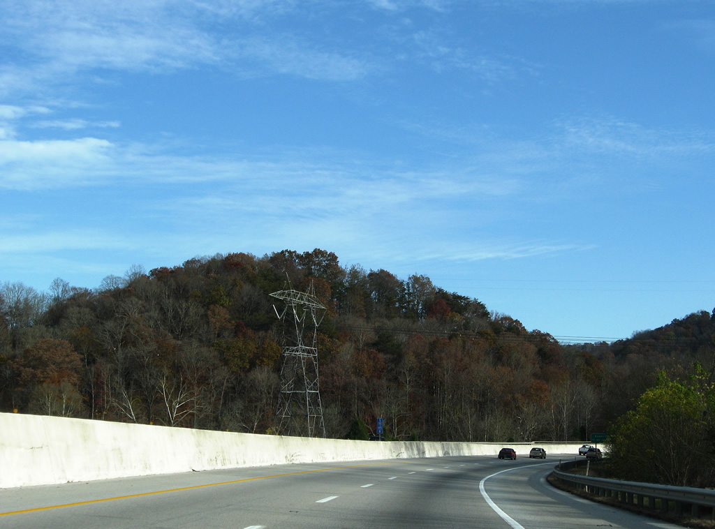
Encircling Heckler Knob, Interstate 75 south crosses into Campbell County, Tennessee.
11/08/09
The Tennessee welcome center lies just beyond the state line alongside Heckler Knob.
11/08/09
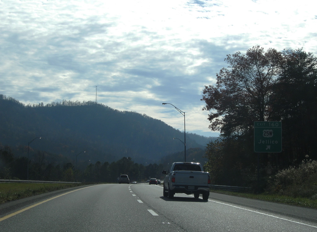
U.S. 25W follows N Main Street south to SR 297 (S Main Street) and 5th Street east 1.31 miles from the Kentucky line to a parclo interchange (Exit 160) with I-75. SR 297 connects with Indian Mountain State Park while U.S. 25W continues east to Pine Mountain and Morley.
11/08/09
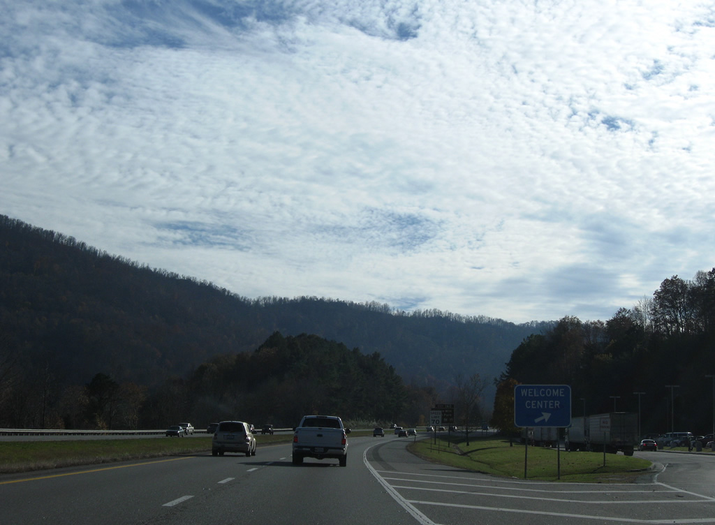
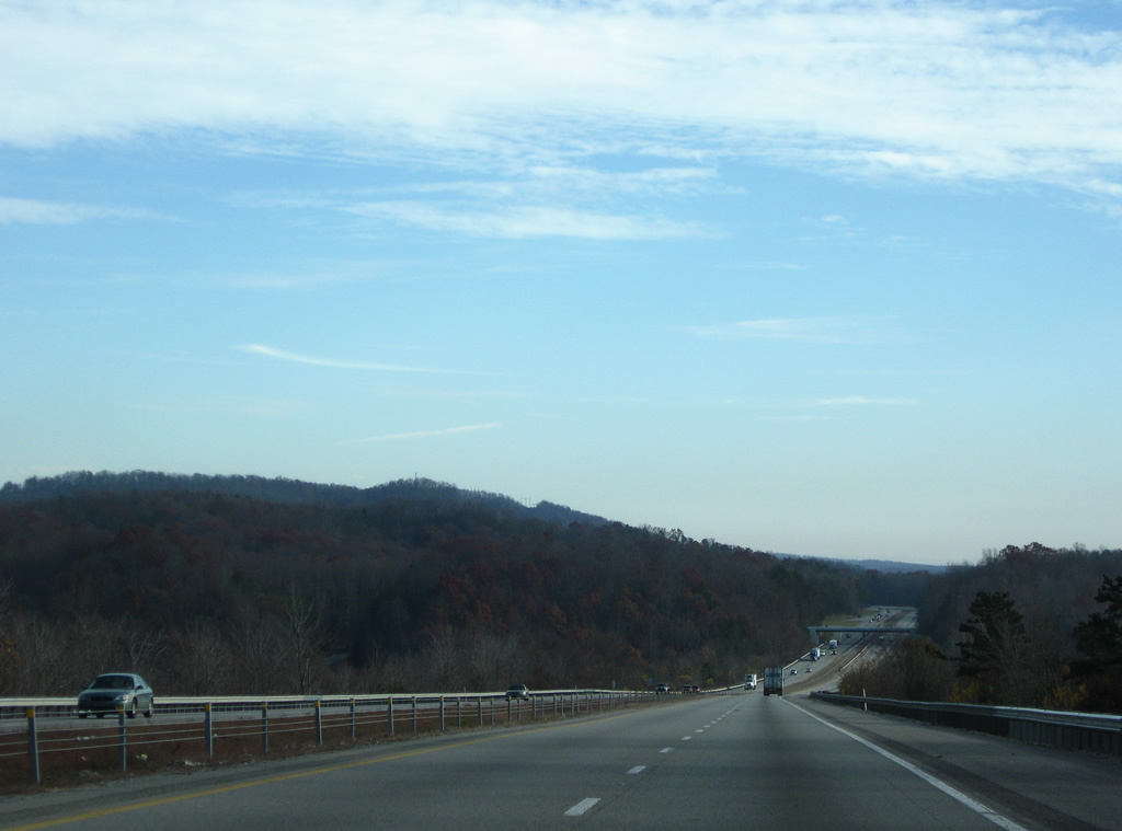
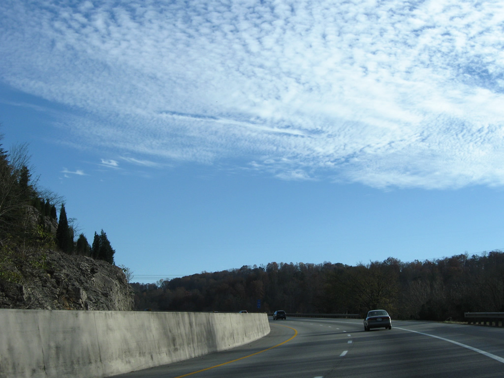
Interstate 75 advances southwest from the city of Jellico by Queener Hill.
11/08/09
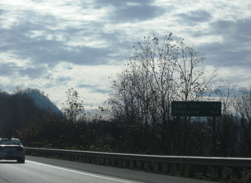
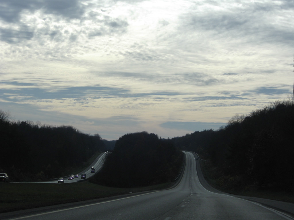
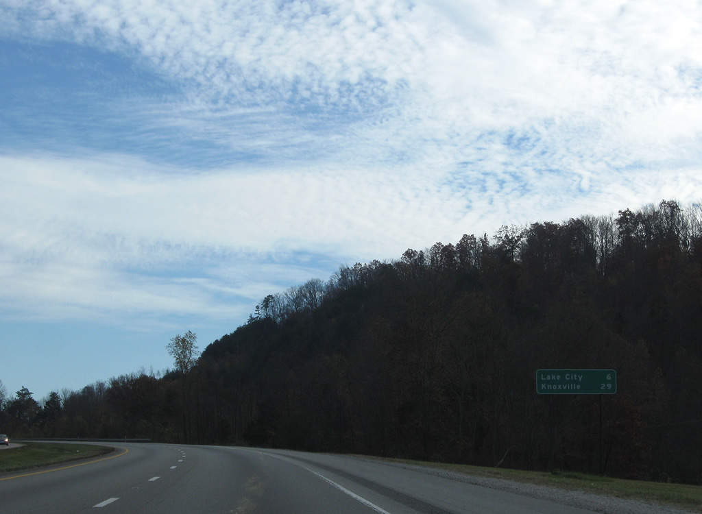
Rocky Top (formerly Lake City) lies 31 miles to the south beyond Cumberland Mountain. Knoxville follows in 54 miles.
11/08/09
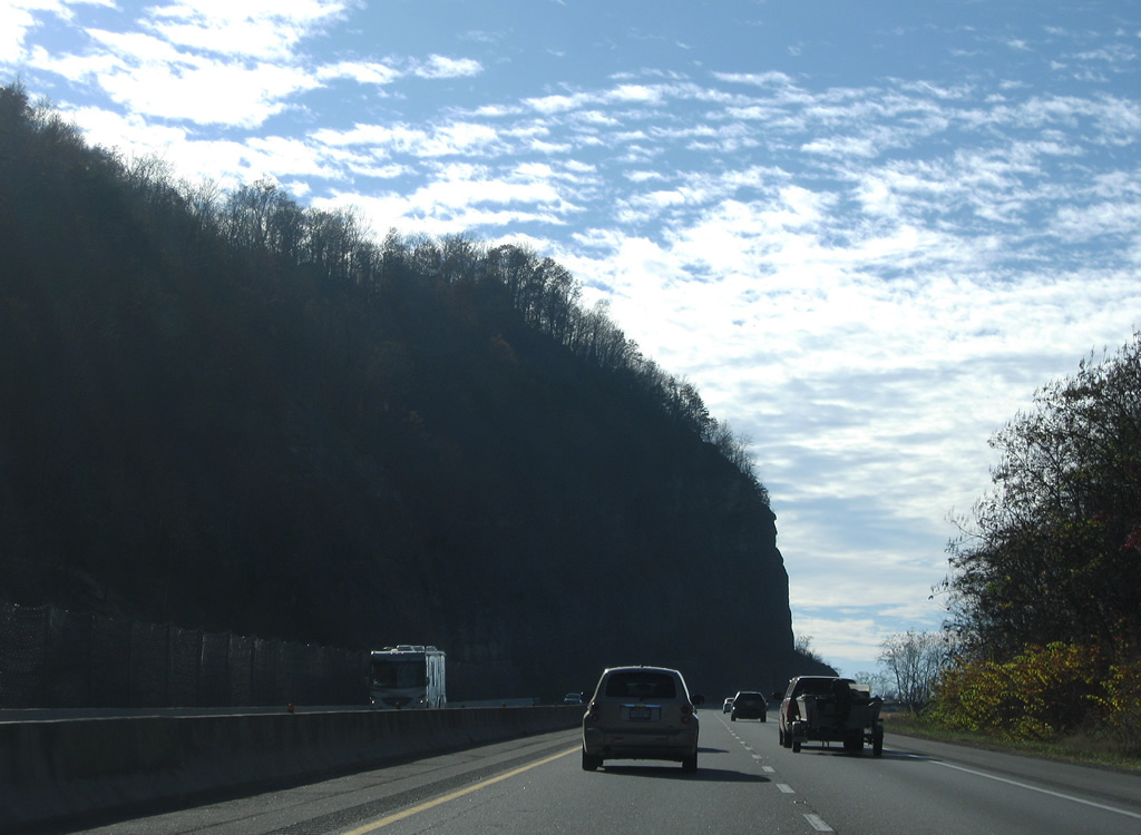
Interstate 75 runs along the ridge of Pine Mountain from Jellico southwest to Cumberland Mountain.
11/08/09
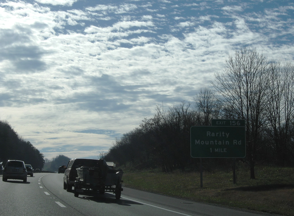
A diamond interchange joins Interstate 75 with Rarity Mountain Road at Exit 156. Costing $12.4 million, the exchange opened to traffic in 2006 for the planned Rarity Mountain development.1
11/08/09
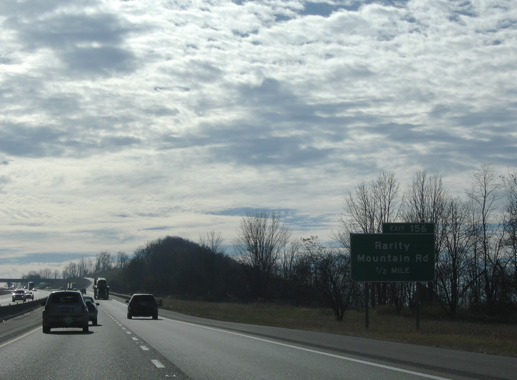
While much of the Rarity Mountain development never prospered, Exit 156 connects Interstate 75 with the Rock Quarry Road and Pine Mountain Road to Johnson Hollow.
11/08/09
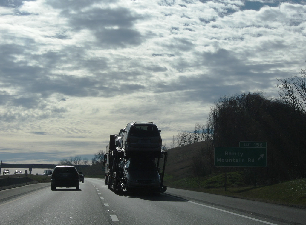
Exit 156 departs I-75 south to Rarity Mountain Road. Lowes Branch Road provides a connection between the Rarity Mountain area and Stinking Creek Road near Steve Ridge.
11/08/09
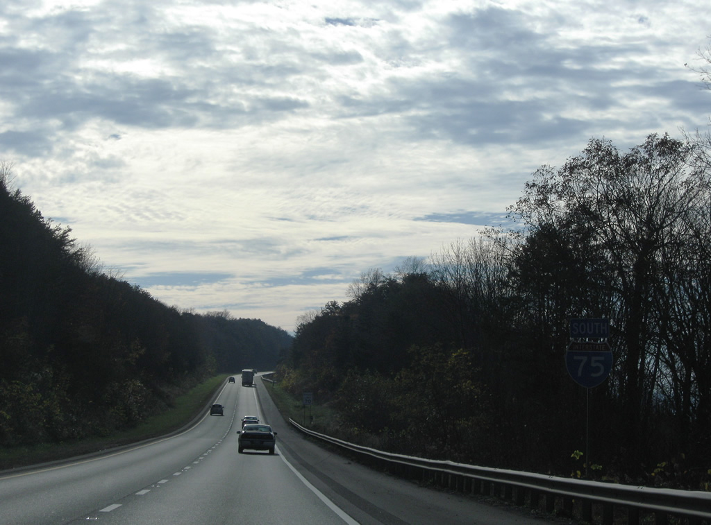
Southwest from Exit 156, I-75 continues through a series of five roadway separations along the top of Pine Mountain to Hackle Knob.
11/08/09
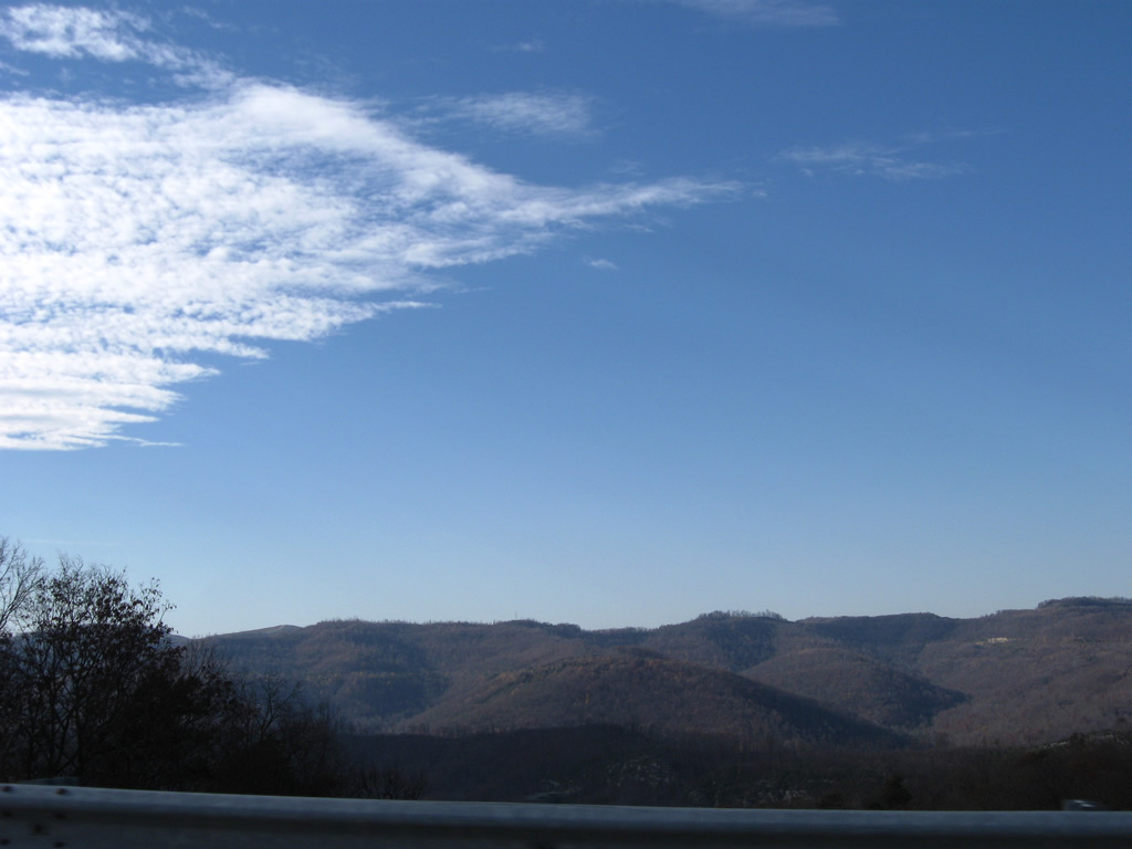
Whistle Creek Ridge and Jellico Mountain rise west of a valley fed by Elk Creek.
11/08/09
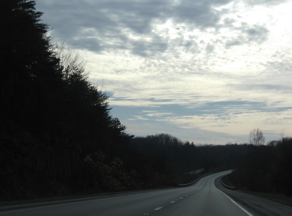
Interstate 75 advances southwest along Pine Mountain by a number of hollows to the east and through Cave Gap.
11/08/09
An abandoned southbound rest area precedes the southeastern turn onto Little Cumberland Mountain.
11/08/09
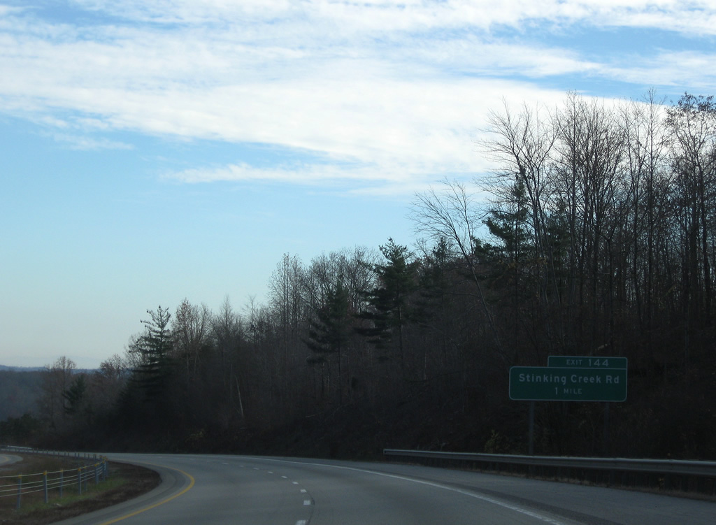
Forthcoming Stinking Creek Road parallels Stinking Creek southwest between Pine and Walnut Mountains onto Little Cumberland Mountain.
11/08/09
Interstate 75 south lowers from Pine Mountain to the folded diamond interchange at Exit 144.
11/08/09
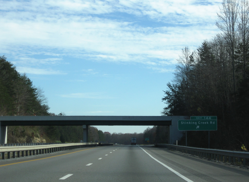
Stinking Creek Road meanders west and south from Exit 144 along Chestnut Ridge and Mill Branch to SR 63 (Howard Baker Highway).
11/08/09
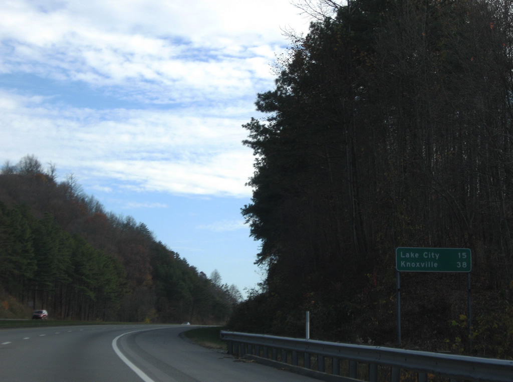
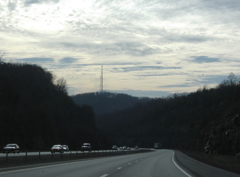
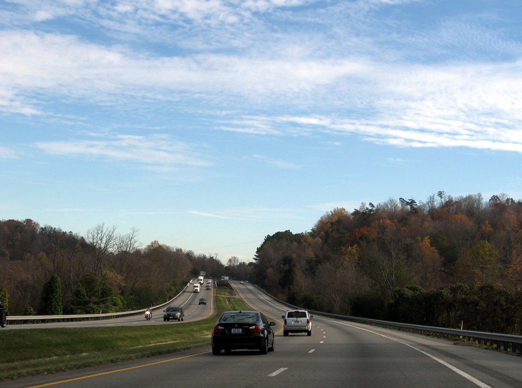
15 miles northwest of Rocky Top and 38 miles out from Downtown Knoxville on Interstate 75 south.
11/08/09
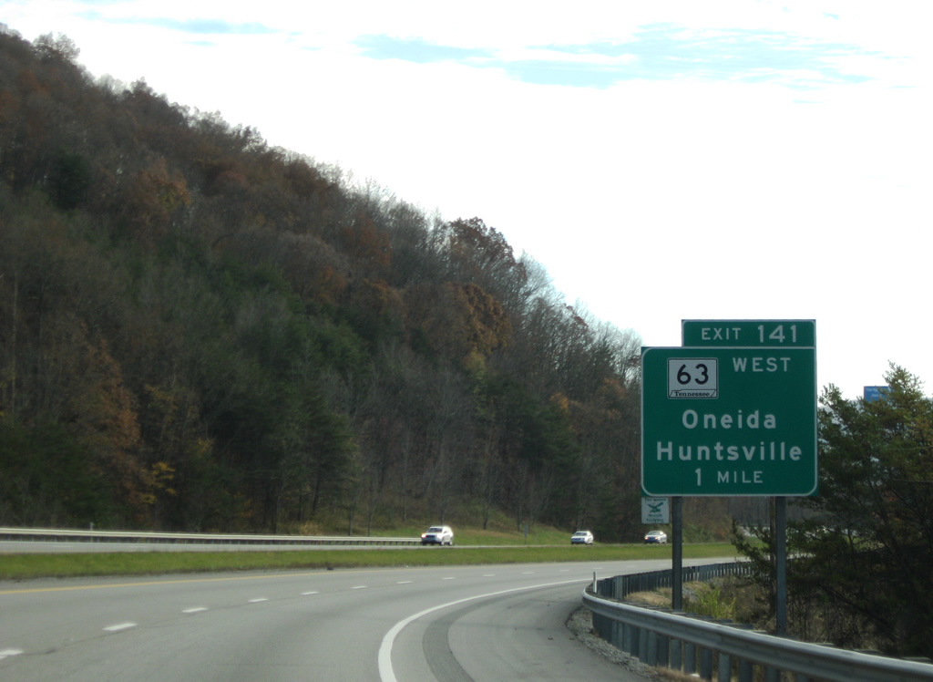
SR 63 (Howard Baker Highway) converges with Interstate 75 east from Sharp Gap at Exit 141.
11/08/09
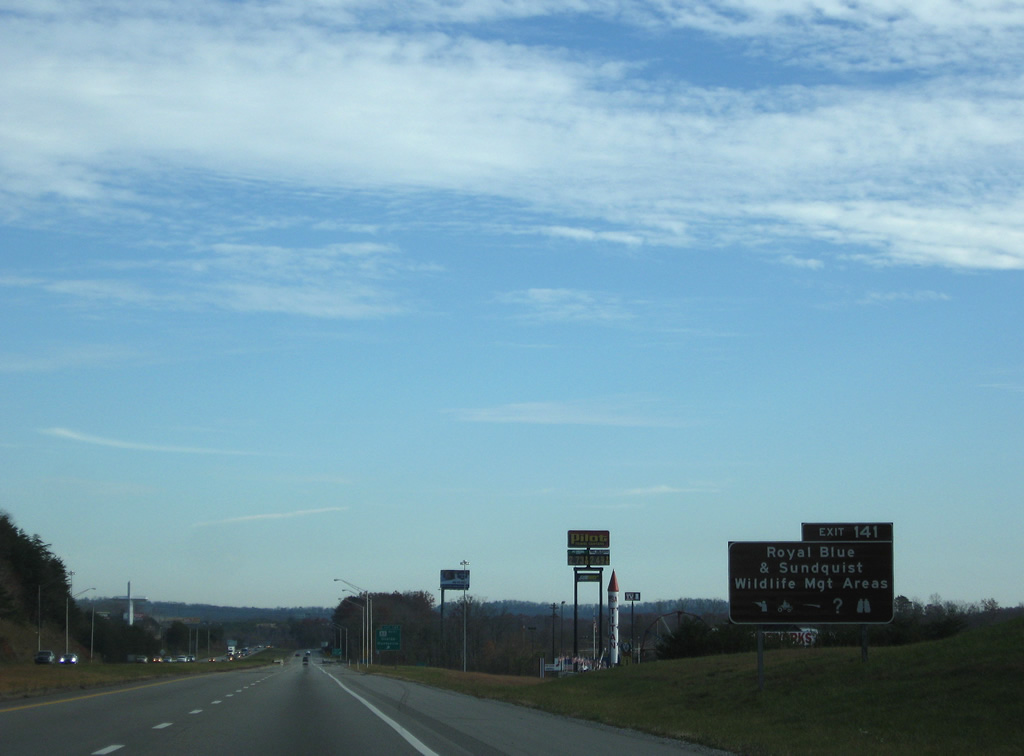
The Sundquist Unit of North Cumberland Wildlife Management Area (WMA) spreads to the east of Interstate 75 along Little Cumberland Mountain. Royal Blue lies just west of Exit 141 off SR 63.
11/08/09
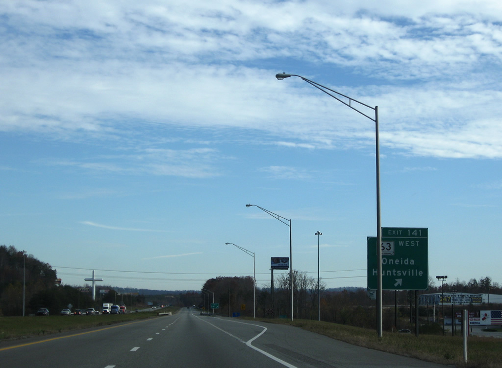
SR 63 travels 20.21 miles west from Exit 141 to U.S. 27 at the Scott County seat of Huntsville. SR 456 provides a cutoff from SR 63 northwest 10.05 miles to U.S. 27 in the town of Oneida.
11/08/09
South 
SR 63 east joins I-75 south to Powell Valley beyond Cumberland Mountain. Old Kentucky Road runs along the east side of the freeway from Exit 141 to Eagle Bluff. The original alignment of SR 63 parallels a Norfolk Southern Railroad line to the west of Fork Mountain.
11/08/09
I-75/SR 63 progress south through northern reaches of Caryville to Bruce Gap between Fork and Cumberland Mountains.
11/08/09
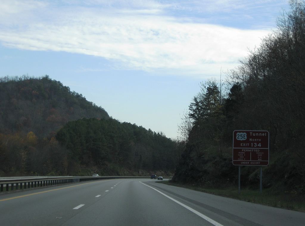
Long distance travelers bound for U.S. 25E northeast to Cumberland Gap are advised of restrictions to traffic through the tunnel there. Class 1 explosives are prohibited while other vehicles carrying hazardous materials and wide loads are permitted with an escort.
11/08/09
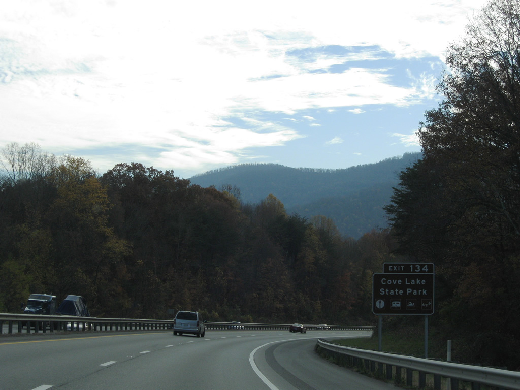
Interstate 75 meets U.S. 25W (Veterans Memorial Highway) at Cove Lake State Park in Caryville. The 673 acre park contains Cove Lake and offers hiking, camping and boating.
11/08/09
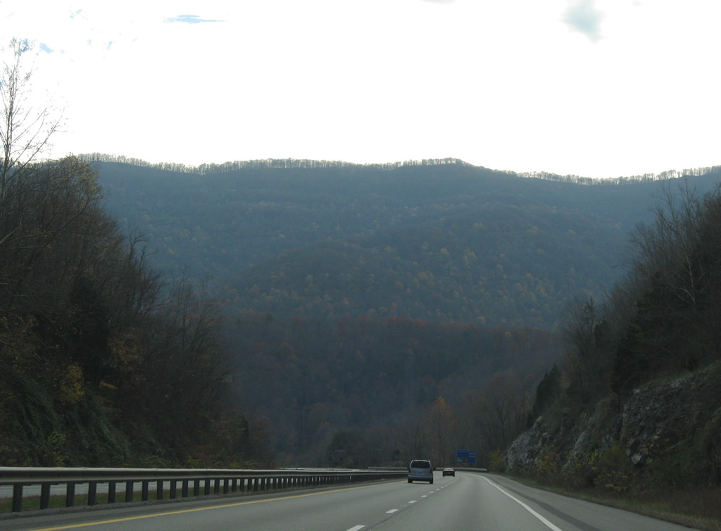
Lowering from Bruce Gap into the town of Caryville, I-75/SR 63 navigate through an S-curve southeast by Cross Mountain and Cove Lake.
11/08/09
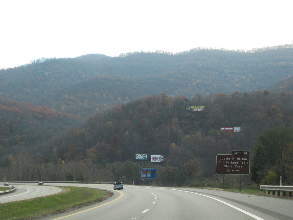
Justin P. Wilson Cumberland Trail State Park, a 300 mile long linear park, extends from Signal Point near Chattanooga to Cumberland Gap at the state line. The trail meanders through Caryville and northeast to Jacksboro and La Follette.
11/08/09
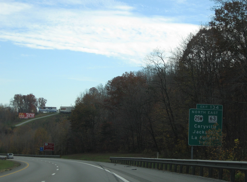
SR 63 combines with U.S. 25W (Veterans Memorial Highway) northeast 8.27 miles from Exit 134 to Jacksboro and La Follette.
11/08/09
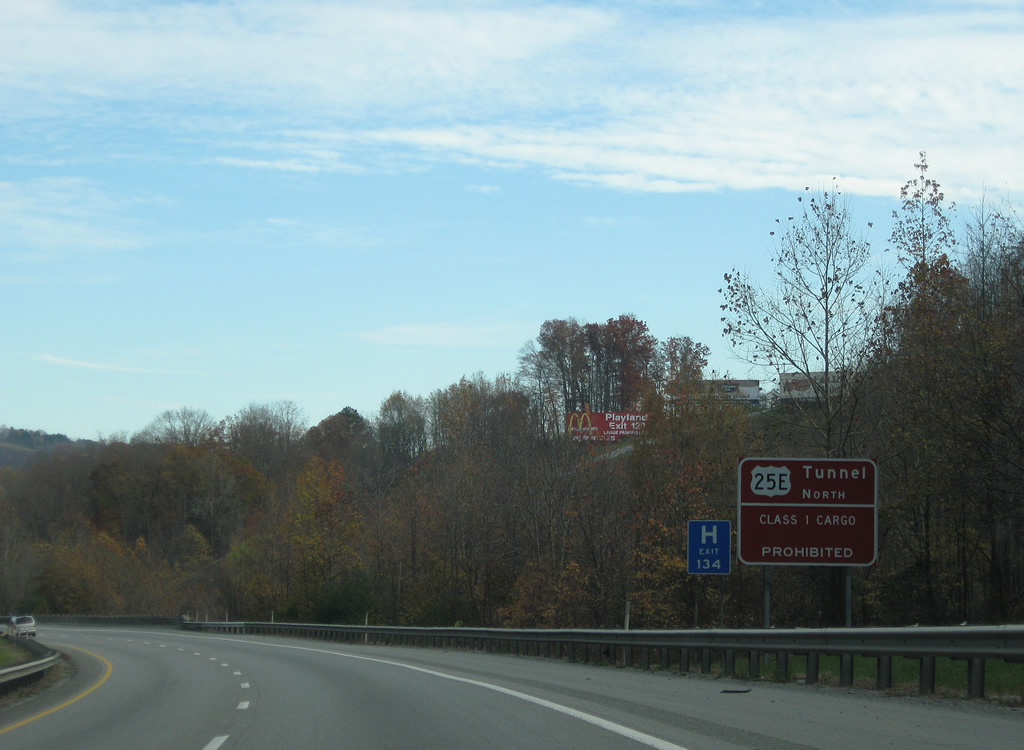
An additional sign references the restrictions of the Cumberland Gap tunnel of U.S. 25E. SR 63 continues northeast from La Follette to Speedwell, Arthur and U.S. 25E near Harrogate.
11/08/09
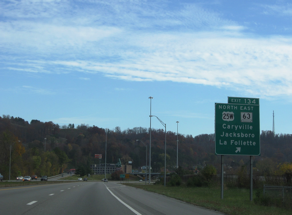
The parclo interchange at Exit 134 connects I-75 with Old Highway 63 north and Main Street west in addition to SR 63 east and U.S. 25W (Veterans Memorial Highway) north through Caryville. U.S. 25W north returns to I-75 at Jellico by way of Duff and Morley.
11/08/09
 South
South
U.S. 25W joins I-75 south 5.66 miles from Caryville to Rocky Top. SR 116 follows old U.S. 25W, 5.88 miles through Vasper, Ridgewood and Disney to the east.
11/08/09
Rocky Top lies six miles to the southeast in northern Anderson County. Knoxville is less than a half hour away.
11/08/09
Interstate 75, U.S. 25W and parallel SR 116 travel through Indian Gap south of Caryville and east of Cross Mountain.
11/08/09
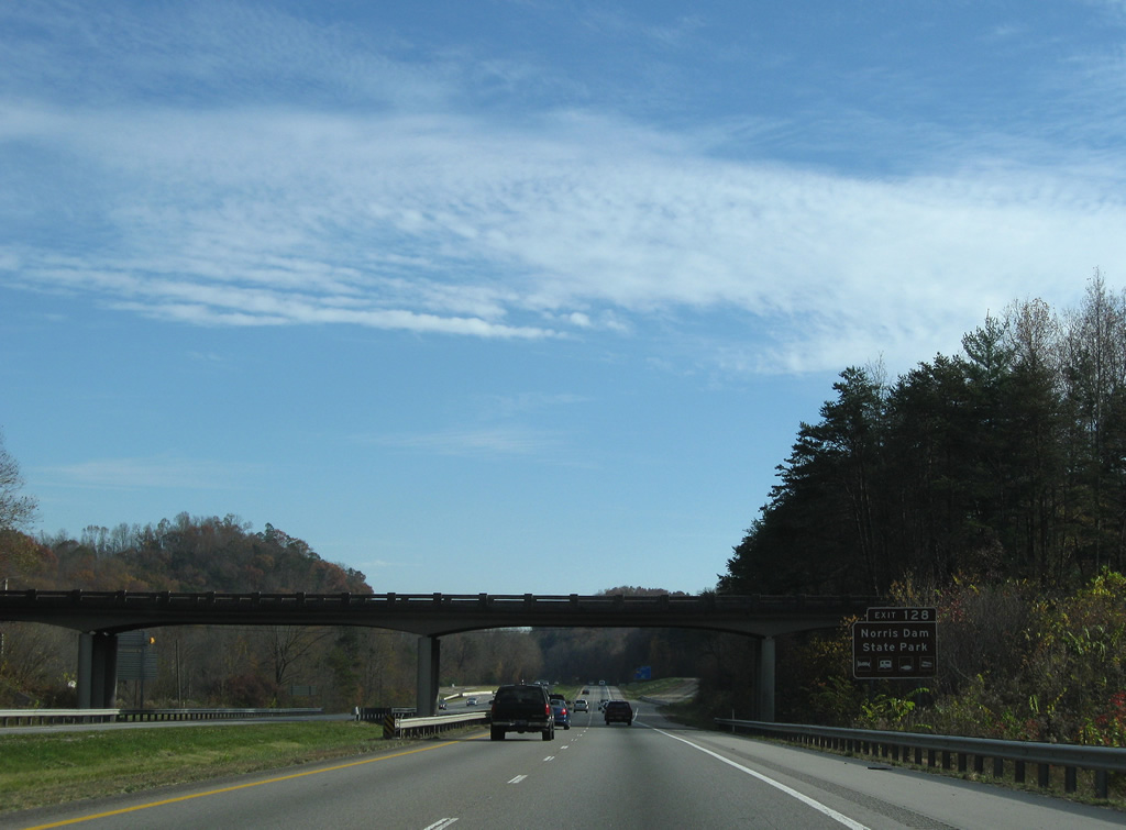
Old Mill Road spans I-75/U.S. 25W by Walden Ridge and Disney. Motorists headed to Norris Dam State Park, Norris Lake, and Norris Dam are directed to remain along the freeway to Exit 128 with U.S. 441 south to bypass Rocky Top.
11/08/09
A set of abandoned rest areas line both sides of Interstate 75 just north of the Anderson County line.
11/08/09
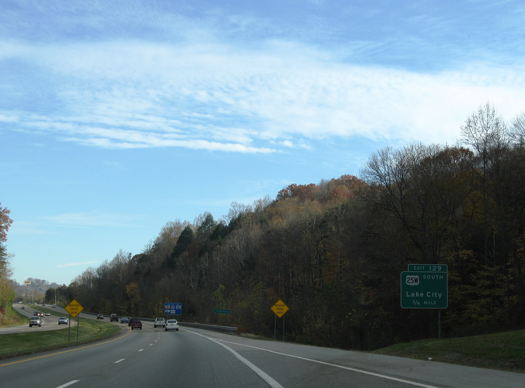
U.S. 25W parts ways with Interstate 75 southbound at a half diamond interchange (Exit 129) with SR 116 (Main Street) north at Rocky Top.
11/08/09
U.S. 25W/SR 116 combine for 0.93 miles along Main Street south from Exit 129 to Creek Street. U.S. 25W continues to the county seat of Clinton before turning eastward to Powell and I-75/640. U.S. 441 was eventually replaced with U.S. 25W on guide signs for Exit 129.
11/08/09
South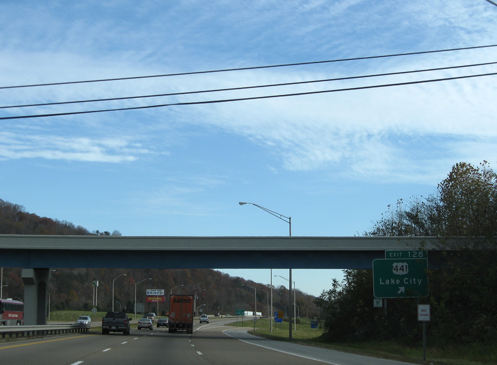
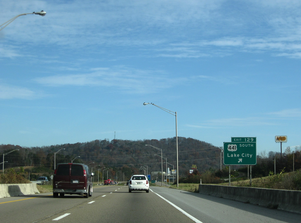
The north end of U.S. 441 (Norris Freeway) ties into U.S. 25W/SR 116 (Main Street) just west of the parclo interchange at Exit 128. U.S. 441 travels southeast from Rocky Top to Norris Lake, Halls Crossroads and Knoxville. U.S. 441 runs 939 miles overall south to the Great Smokey Mountains, Athens, Georgia and Orlando and Miami in Florida. I-75/U.S. 441 meet again at Lake City, Florida.
11/08/09
Continuing south from Rocky Top, Downtown Knoxville is 23 miles away via I-75 and I-275. Clinton lies 11 miles to the southwest along SR 61.
11/08/09
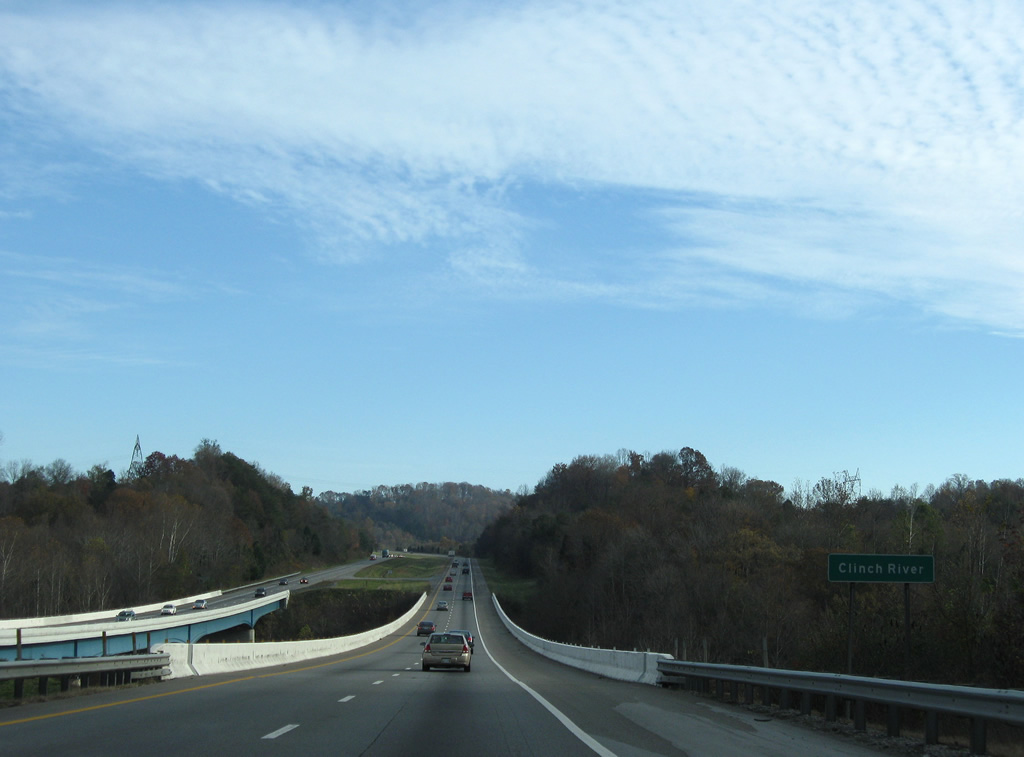
Interstate 75 crosses the Clinch River on spans built in 1969. The waterway flows southwest to the Tennessee River at Kingston.
11/08/09
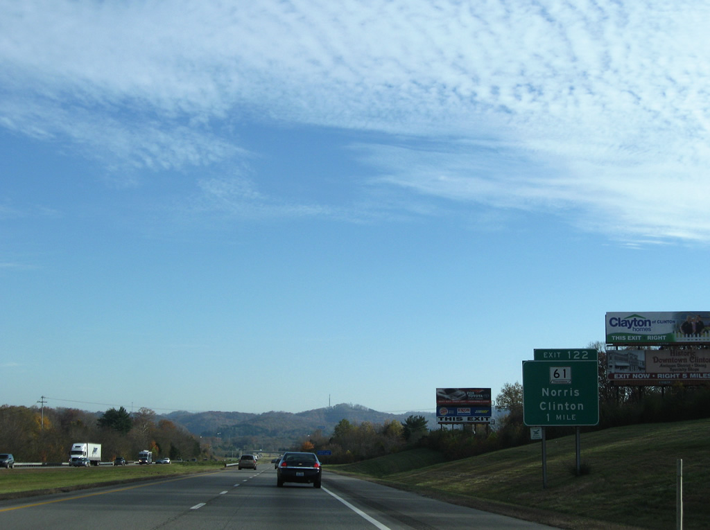
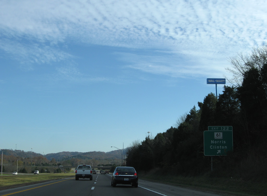
SR 61 (Charles G. Seivers Boulevard) meets Interstate 75 at a diamond interchange (Exit 122) by Bethel. SR 61 (Andersonville Highway) travels northeast to Norris, Andersonville and Big Ridge State Park near Norris Lake.
11/08/09
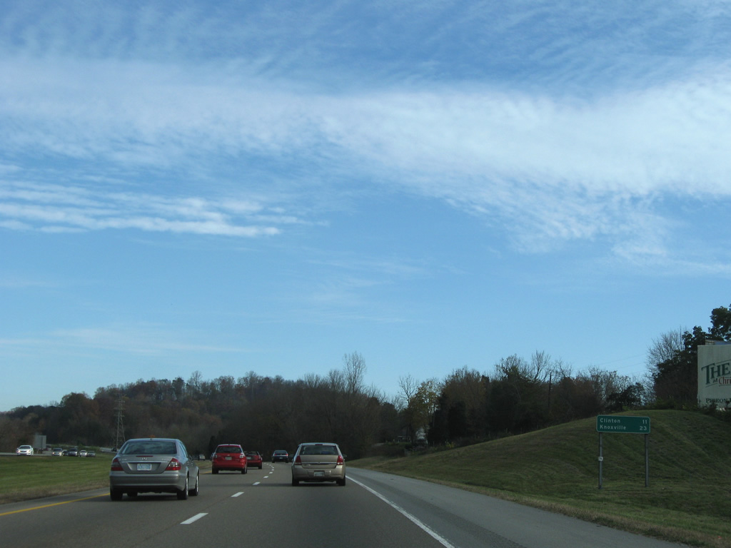
SR 61 (Charles G. Seivers Boulevard) extends 3.55 miles southwest along a four lane highway to the Clinch River in Clinton and 38.99 miles overall to U.S. 27 near Harriman.
11/08/09
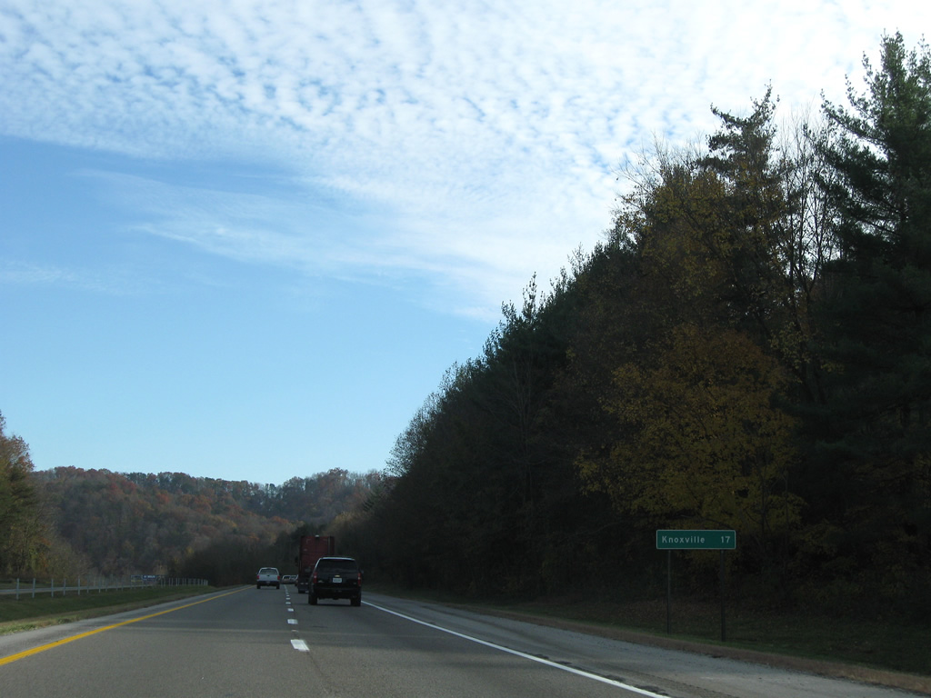
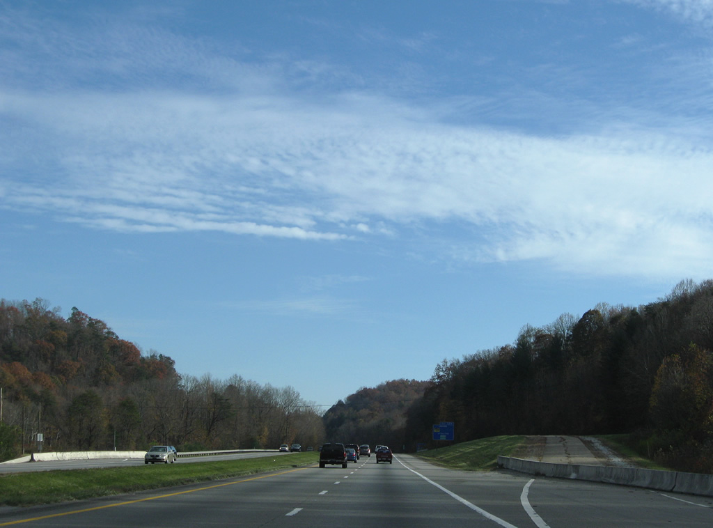
Advancing past Lone Mountain, Knoxville is 17 miles to the southeast.
11/08/09
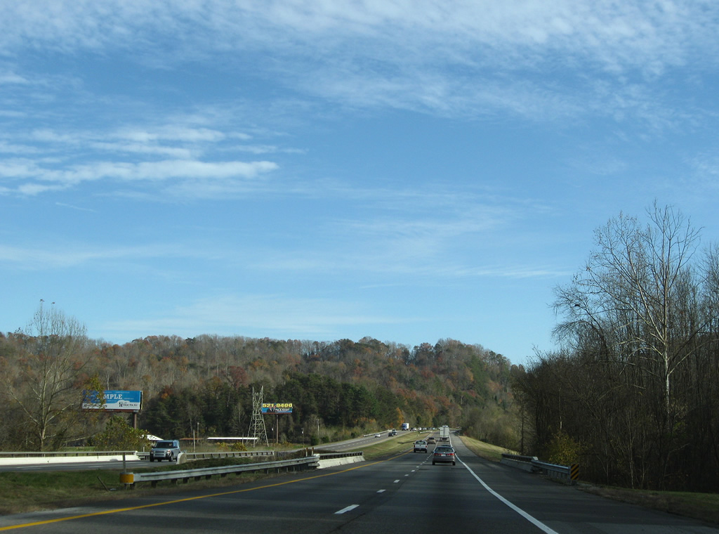
Interstate 75 travels across Bluebird Ridge through Brooks Gap into Brushy Valley. The freeway rises again over Pine Ridge at Moore Gap.
11/08/09
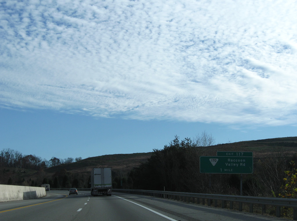
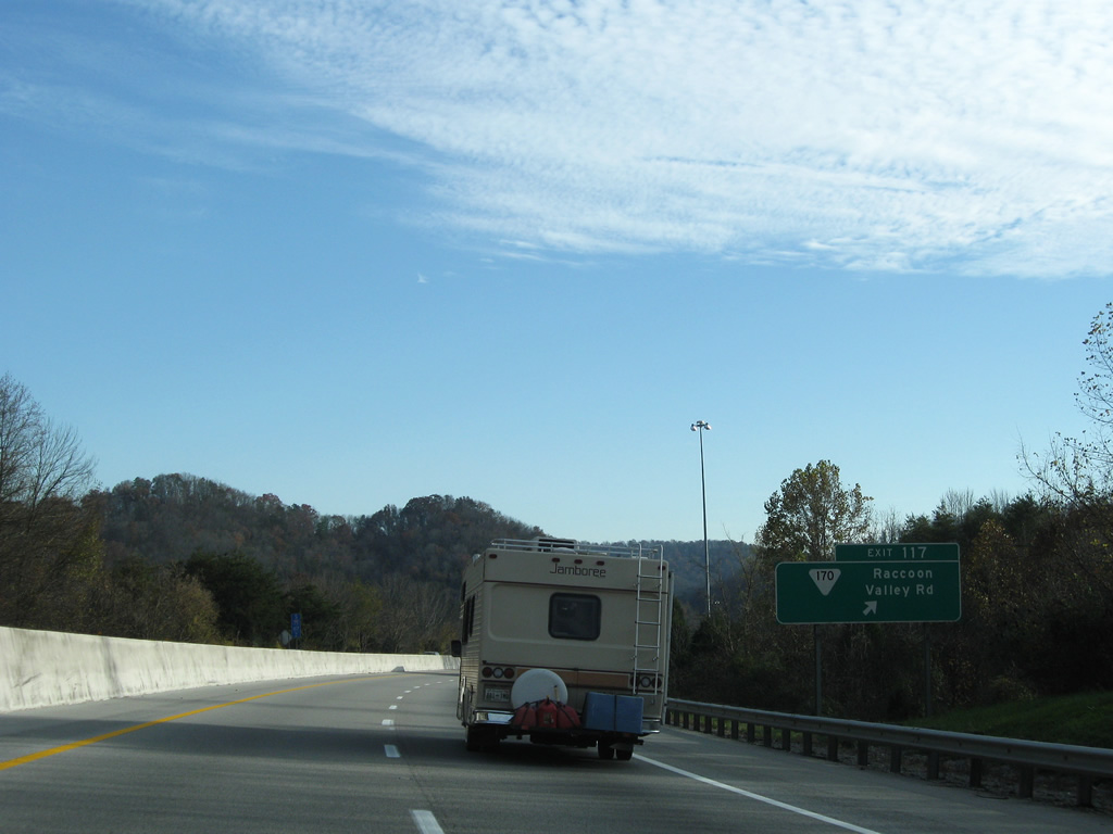
Crossing Chestnut Ridge, I-75 south enters Knox County. A diamond interchange (Exit 117) with SR 170 (Raccoon Valley Road) follows beyond Flint Ridge.
11/08/09
SR 117 travels through Raccoon Valley from Interstate 75 west to Heiskell and Claxton and east to U.S. 441 (Norris Freeway) at Bullrun Ridge.
11/08/09
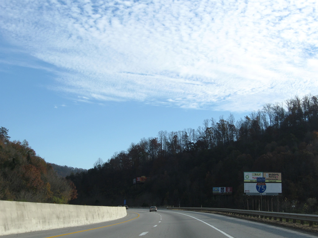
Ascending out of Raccoon Valley, Interstate 75 traverses Bullrun Ridge through Diggs Gap.
11/08/09
A transmission line corridor passes over Interstate 75 along the S-curve south from Brushy Valley onto Copper Ridge.
11/08/09
Interstate 75 turns southeast from Copper Ridge into the northern suburbs of Knoxville.
11/08/09
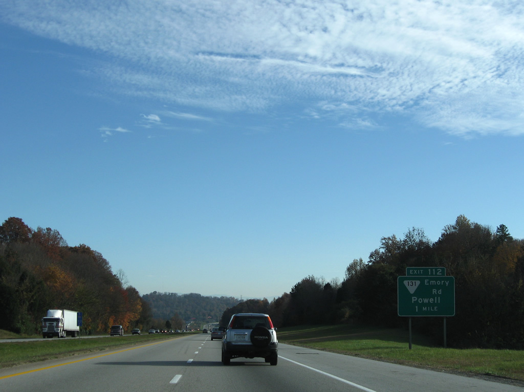
SR 113 (Emory Road) and Interstate 75 come together at a commercialized diamond interchange (Exit 112) at Powell.
11/08/09
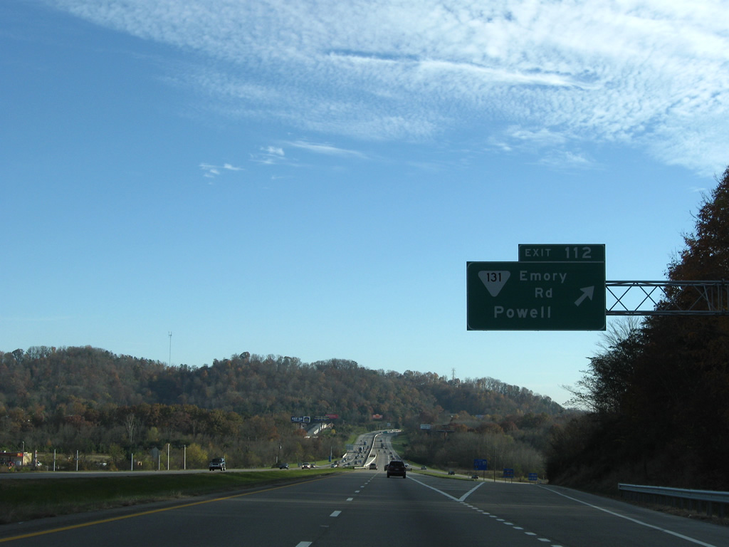
SR 113 leads 3.62 miles southwest through Powell to U.S. 25W (Clinton Highway) at Bell Bridge and northeastward 4.56 miles to U.S. 441 (Norris Freeway) at Halls Crossroads.
11/08/09
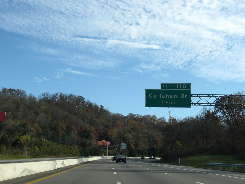
Expanding to six overall lanes, Interstate 75 shifts southwest over Beaver Ridge to Exit 110 with Callahan Drive.
11/08/09
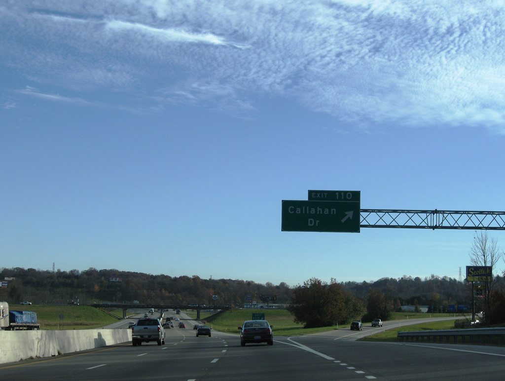
Entering the diamond interchange (Exit 110) with Callahan Drive at Dante. Callahan Drive runs west through Hines Valley to Cherrybrook and U.S. 25W and east to become Dante Road nearby.
11/08/09
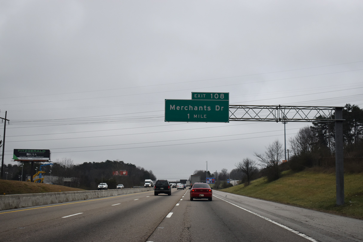
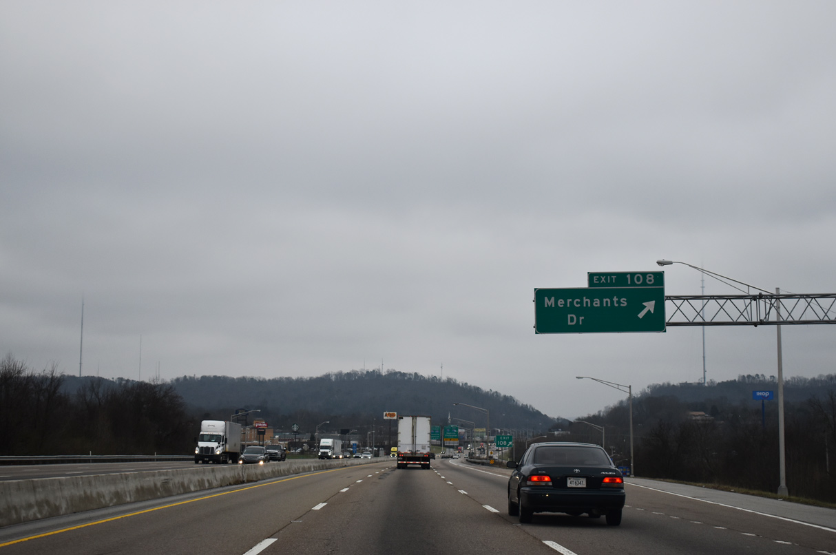
Becoming more suburban, Interstate 75 passes by the Norwood community of Knoxville ahead of the diamond interchange (Exit 108) with Merchants Drive.
01/16/19
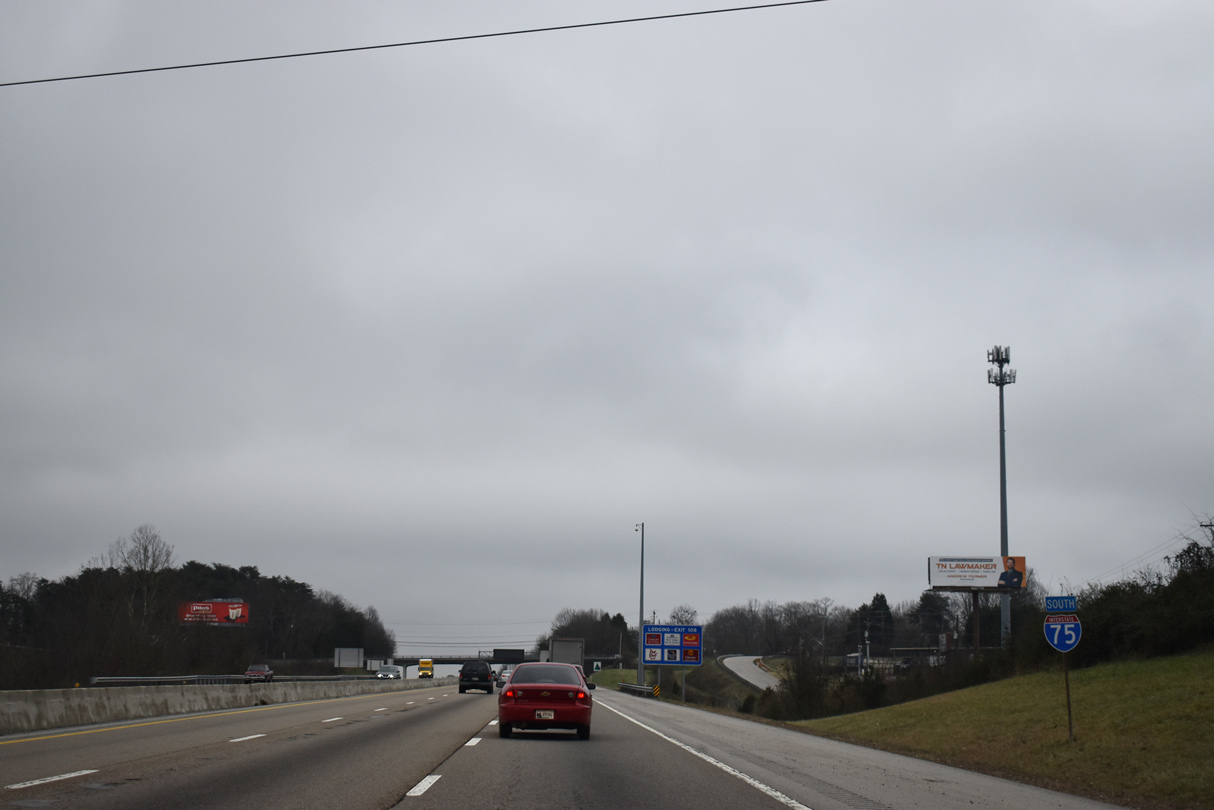
Reassurance shield for Interstate 75 south posted near the Murray Drive overpass.
01/16/19
Sharp Ridge comes into view as Exit 108 drops from Interstate 75 south onto Merchants Drive. Merchants Drive constitutes a commercial boulevard west to U.S. 25W. Cedar Lane extends the road east from Central Avenue Pike to Fountain City and U.S. 441 (Broadway).
01/16/19
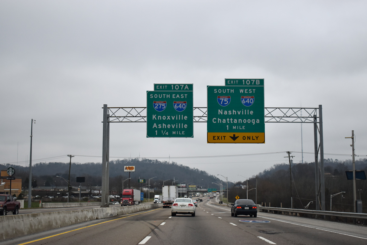
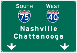
The systems interchange (Exit 107) with I-275 south and I-640/U.S. 25W lies one mile south of Merchant Drive. Interstate 640 follows a bypass of central Knoxville between Marble City and Loveland. I-275 is a 2.98 mile long connector to I-40 and U.S. 441 (Henley Street) by Downtown Knoxville.
01/16/19
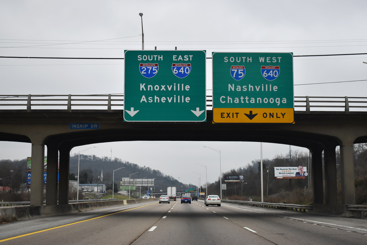
I-75 makes a TOTSO (turn off to stay on) movement 0.4 miles beyond Inskip Road at I-640. Prior to 1980, I-75 continued south toward I-40 at Downtown Knoxville. I-75 was realigned onto I-640 then to provide a more efficient through route.
01/16/19
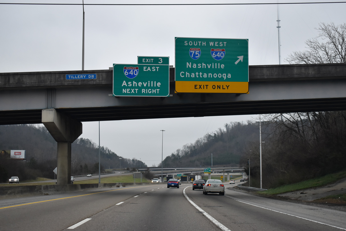
U.S. 25W ties into the exchange from Clinton Highway. I-640/U.S. 25W overlap 7.04 miles east to I-40 at Exit 394. Beyond Knoxville U.S. 25W continues to Newport while Interstate 40 ascends over the Appalachian Mountains to Asheville, North Carolina.
01/16/19

References:
- "Rarity Mountain: Boondoggle or boon?" Knoxville News Sentinel (TN), May 16, 2010.
Photo Credits:
- ABRoads: 11/08/09
- Brent Ivy: 01/16/19
Connect with:
Page Updated Friday June 25, 2021.