
Interstate 76/Schuylkill Expressway East - Philadelphia

 East
East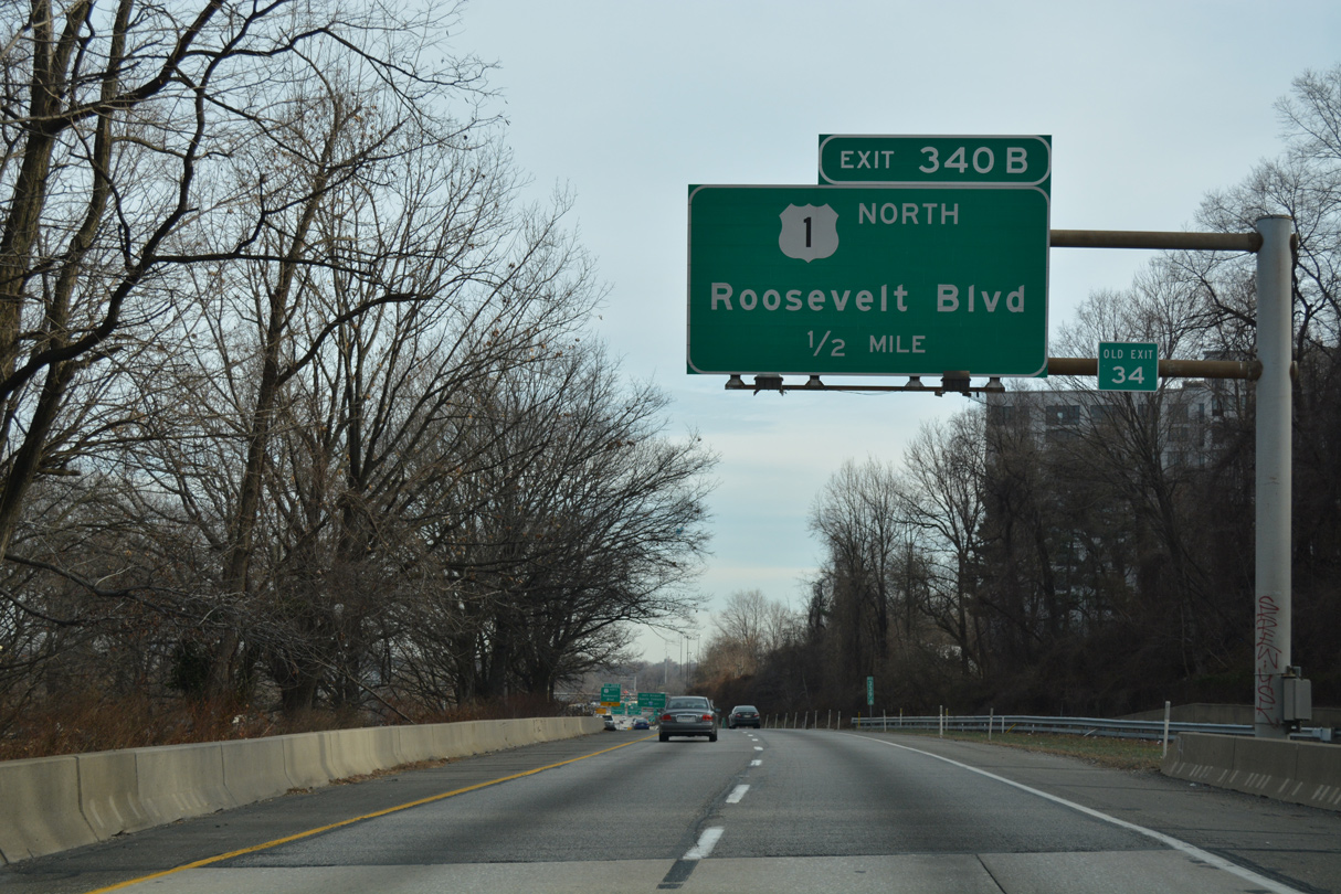
A slip ramp (Exit 340B) links Interstate 76 east with the adjacent roadway for U.S. 1 north to the Roosevelt Expressway in a half mile.
12/21/16
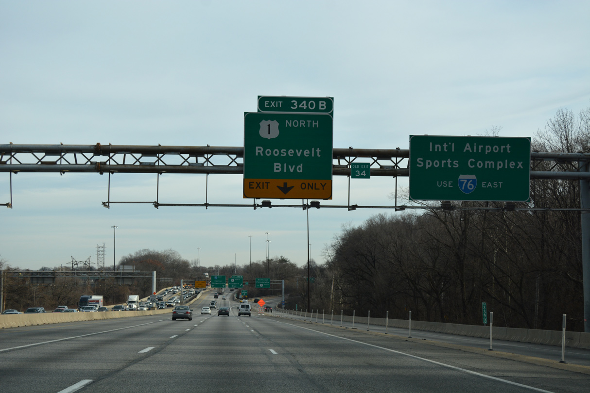
A left side entrance ramp adds traffic from Lincoln Drive as Exit 340B separates for U.S. 1 north. The Roosevelt Expressway leads U.S. 1 northeast from the Schuylkill Expressway to U.S. 13 (Roosevelt Boulevard) between the Hunting Park and Wyoming neighborhoods.
12/21/16
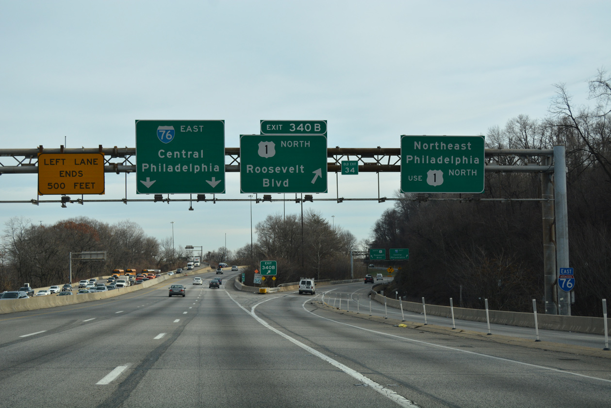
A three wye interchange (Exit 340A) connects the Schuylkill and Roosevelt Expressways.
12/21/16
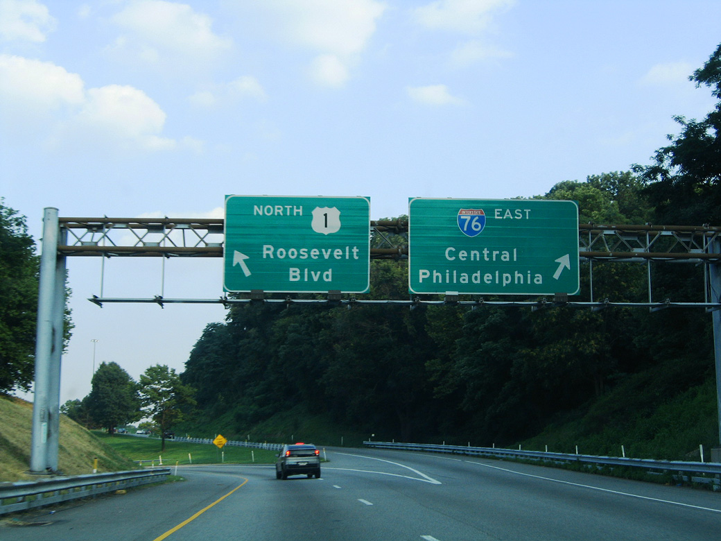
Exit 340B joins U.S. 1 northbound just ahead of the eastbound on-ramp for Interstate 76. U.S. 1 along Roosevelt Boulevard represents a major arterial route from North Philadelphia to Northeast Philadelphia and Bucks County.
08/04/04
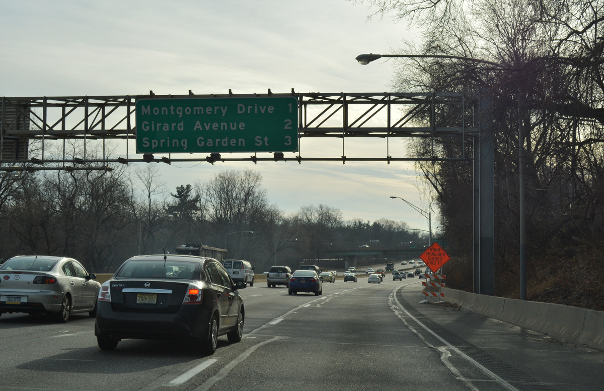
The Schuylkill Expressway expands to six overall lanes south from U.S. 1 (Exit 340B) to Interstate 676 (Vine Street Expressway). The ensuing exit is for Montgomery Drive.
12/21/16
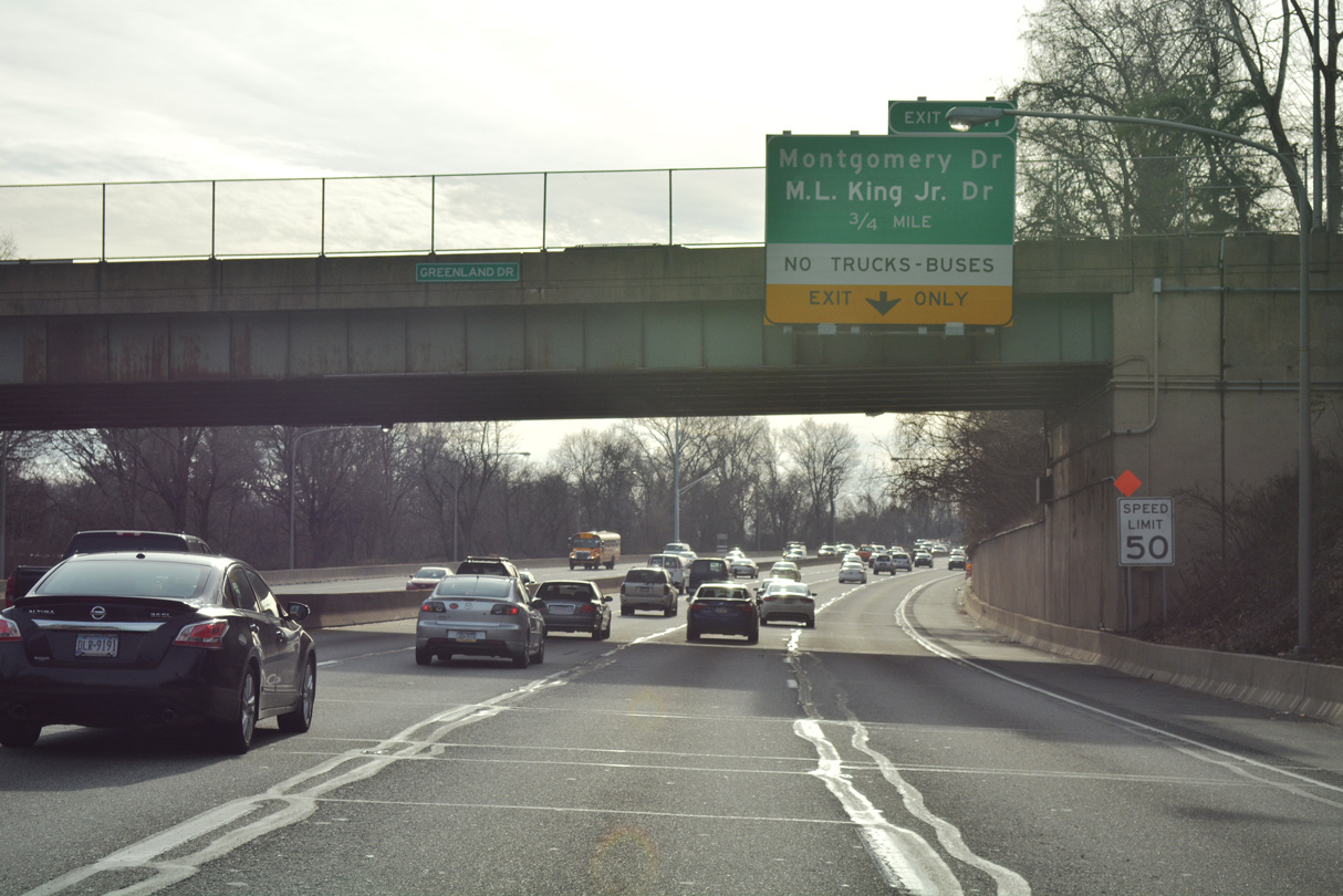
Curving southwest through Fairmount Park, the Schuylkill Expressway advances one mile from the Greenland Drive overpass to Exit 341 with Montgomery Drive.
12/21/16
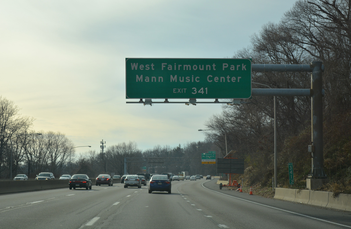
Exit 341 is the first of three ramps for Fairmount Park from I-76 eastbound. Montgomery Drive winds west through the park to Belmont Avenue and The Mann Center, a performing arts venue.
12/21/16
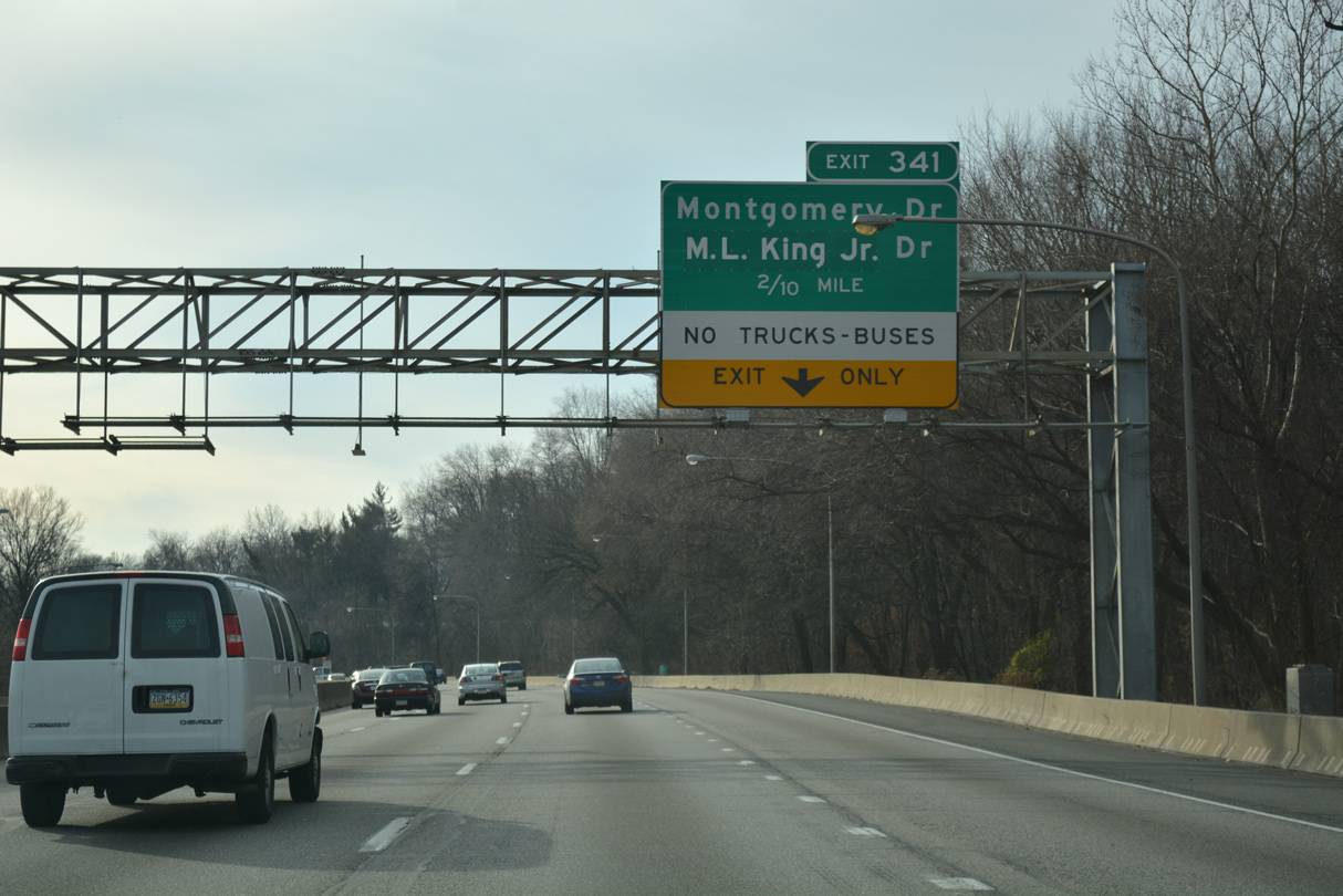
A lane drop occurs at Exit 341. Montgomery Drive links I-76 with parallel Martin Luther King, Jr. (West River) Drive.
12/21/16
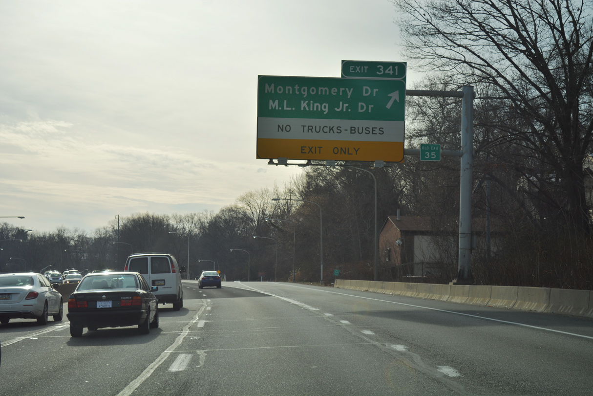
Entering the diamond interchange (Exit 341) with Montgomery Drive. Since the exchange falls within Fairmount Park, commercial trucks and buses are prohibited from using Exit 341.
12/21/16
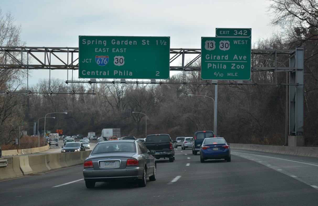
Curving southeast through Fairmount Park on the approach to Exit 342 for Girard Avenue (U.S. 1/30). An interchange sequence sign references Interstate 676 (Vine Street Expressway) for Central Philadelphia. U.S. 30 joins I-76 for 1.3 miles between Exit 342 and the Vine Street Expressway.
12/21/16
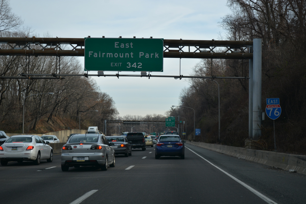
Girard Avenue carries U.S. 13 across the Schuylkill River into East Fairmount Park from N 34th Street and U.S. 30. Park attractions along the east banks of the river include Lemon Hill and Boathouse Row.
12/21/16
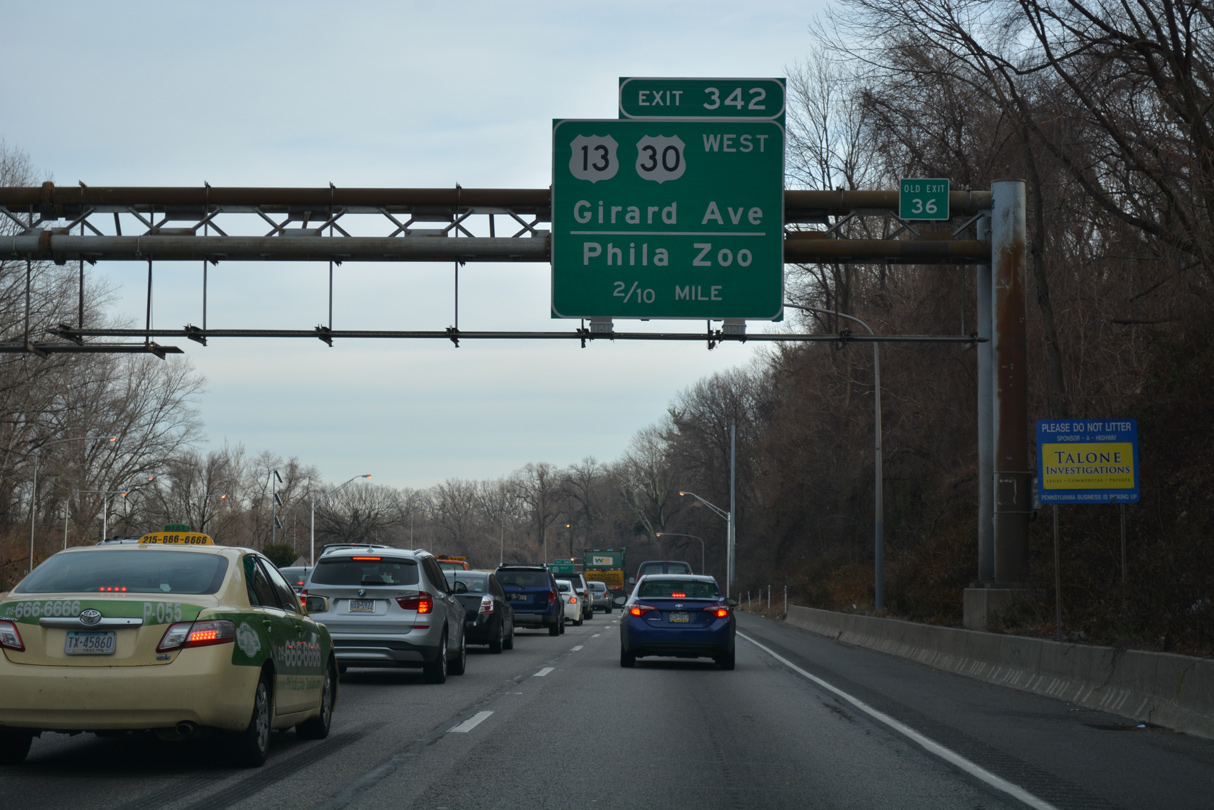
U.S. 13/30 intersect at Girard Avenue and N 34th Street adjacent to the Schuylkill Expressway and the Philadelphia Zoo. U.S. 30 follows Girard Avenue west to Lancaster Avenue and U.S. 1. U.S. 13 overtakes Girard Avenue across the Schuylkill River to N 33rd Street.
12/21/16
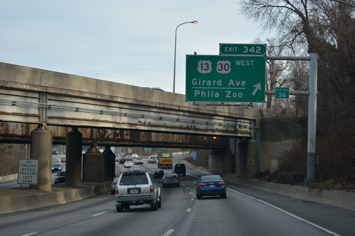
The westbound on-ramp to I-76 and a Consolidated Rail Corp line spans the Schuylkill Expressway at the gore point for Exit 342. The off-ramp ties into U.S. 30 (Girard Avenue) one quarter mile west of U.S. 13 (N 34th Street).
12/21/16
 East
East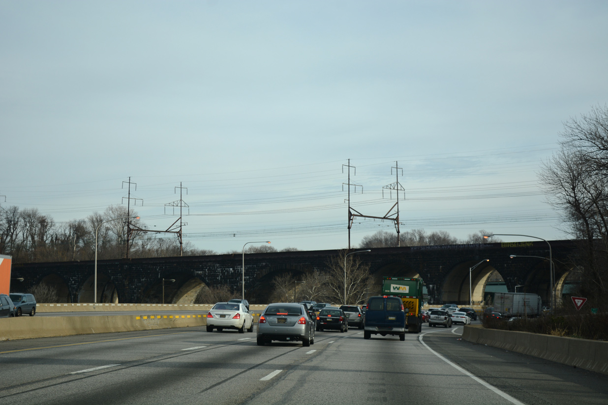
Eastbound U.S. 30 combines with I-76 east ahead of the Pennsylvania Railroad, Connecting Railway Bridge, a stone arch viaduct carrying the AMTRAK Northeast Corridor and SEPTA Regional Rail.
12/21/16
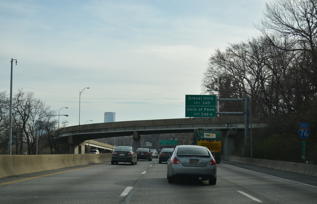
Eastbound confirming marker and milepost 343, posted ahead of the flyover joining I-76/U.S. 30 west with U.S. 13 (N 34th Street).
12/21/16
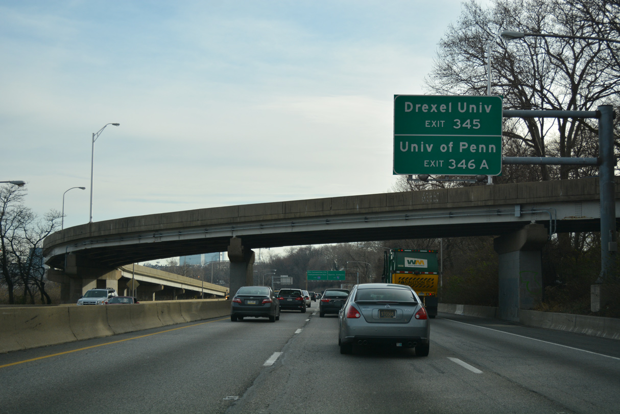
The Schuylkill Expressway remains alongside the river southward between University City and Center City. The succeeding off-ramps to 30th Street and South Street serve Drexel University and the University of Pennsylvania respectively.
12/21/16
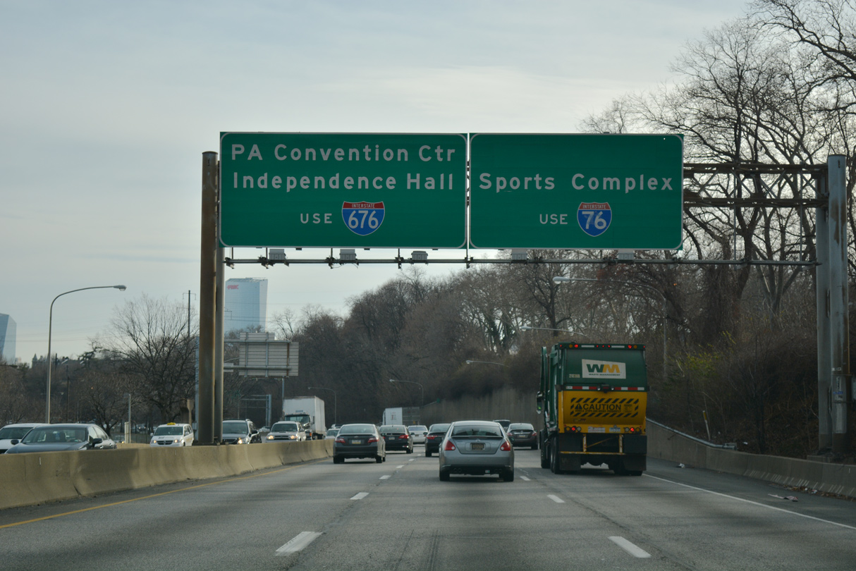
The Vine Street Expressway (I-676/U.S. 30) runs along the north side of Center City. Located just south of I-676, Independence Hall was the place where both the Declaration of Independence was adopted and the U. S. Constitution was drafted. Opened in July 1993, the Convention Center is home to various events, meetings and conferences.
12/21/16
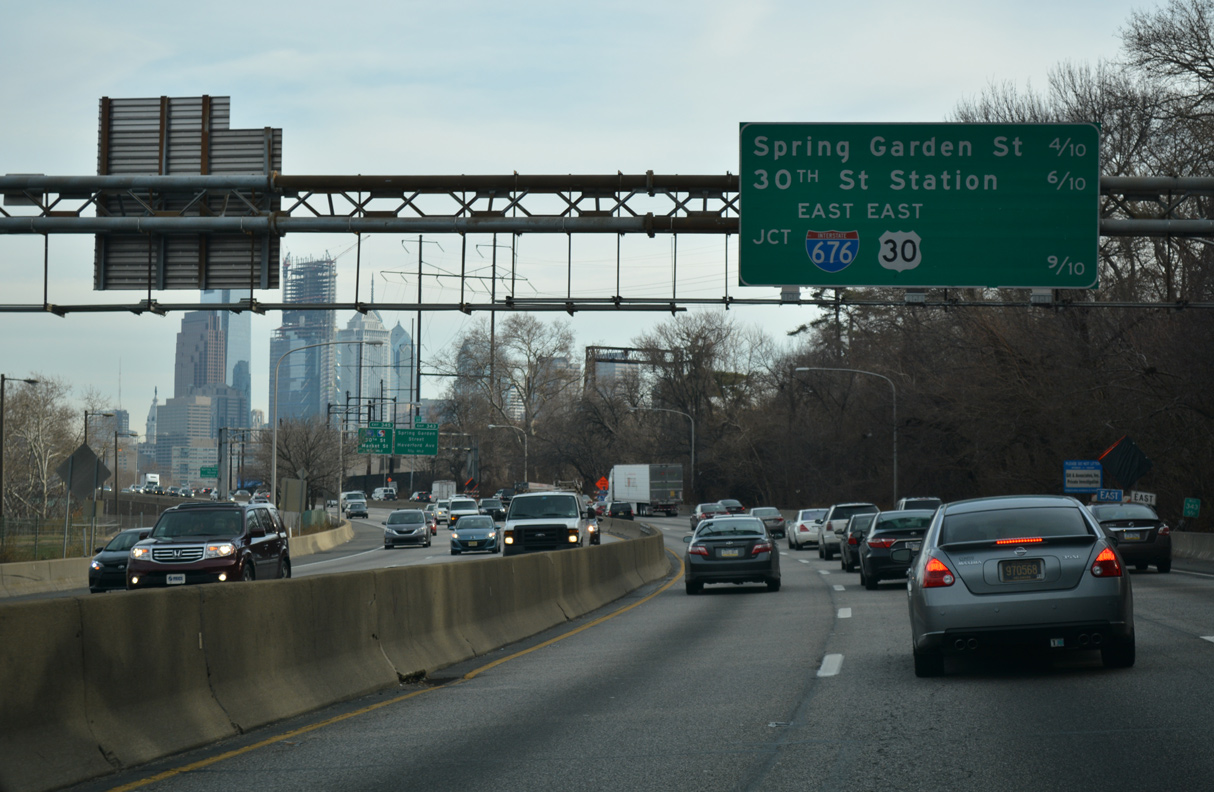
The Philadelphia skyline comes into view 0.4 miles ahead of the half diamond interchange (Exit 343) with Spring Garden Street.
12/21/16
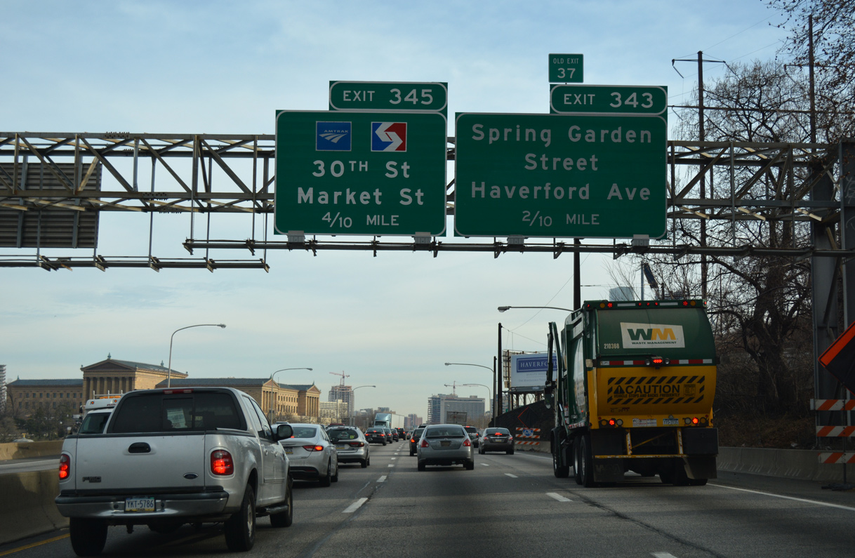
The Philadelphia Museum of Art rises above the east banks of the Schuylkill River from Spring Garden Street just east of Exit 343. Exit 345 departs in 0.4 miles for 30th Street Station via Arch Street (PA 3).
12/21/16
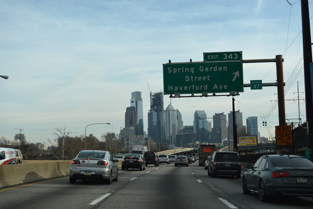
Spring Garden Street leads west from Exit 343 into Powelton Village and east through the Fairmount, Spring Garden and Callowhill communities to the Delaware River.
12/21/16
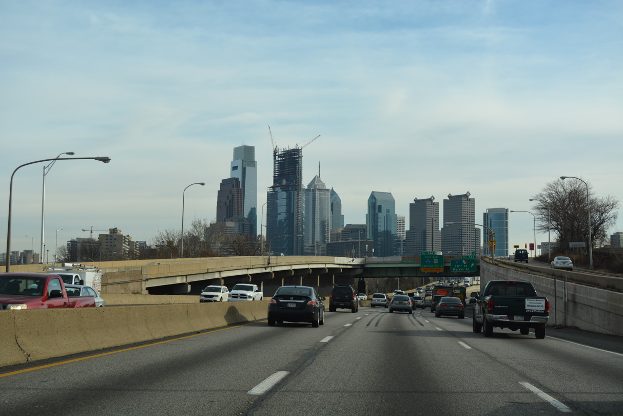
Advancing toward Downtown Philadelphia through the exchange with Spring Garden Street.
12/21/16
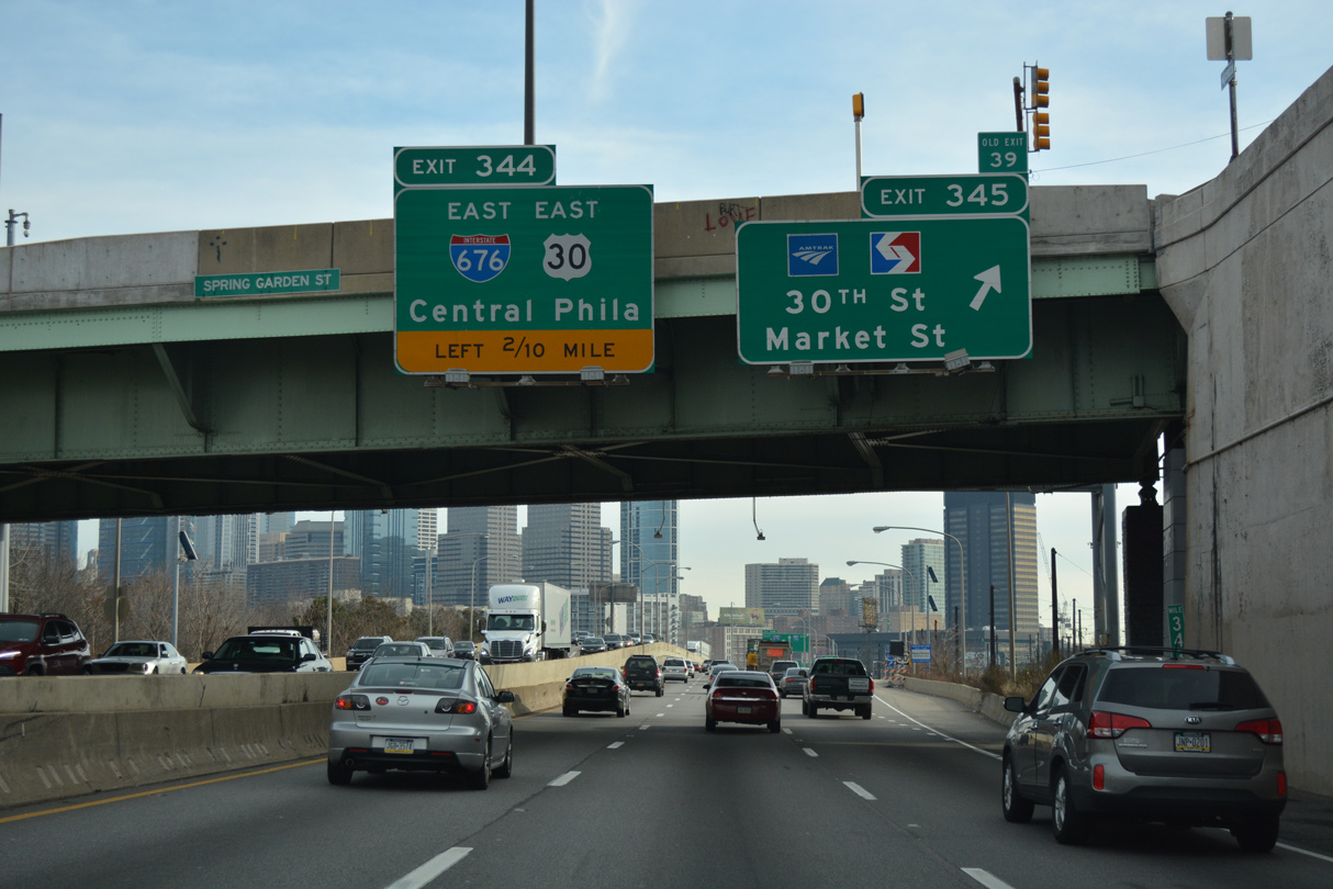
Exit 345 for 30th Street Station and Market Street (PA 3) and Left Exit 344 for I-676/U.S. 30 (Vine Street Expressway) depart in quick succession from I-76 (Schuylkill Expressway) eastbound.
12/21/16
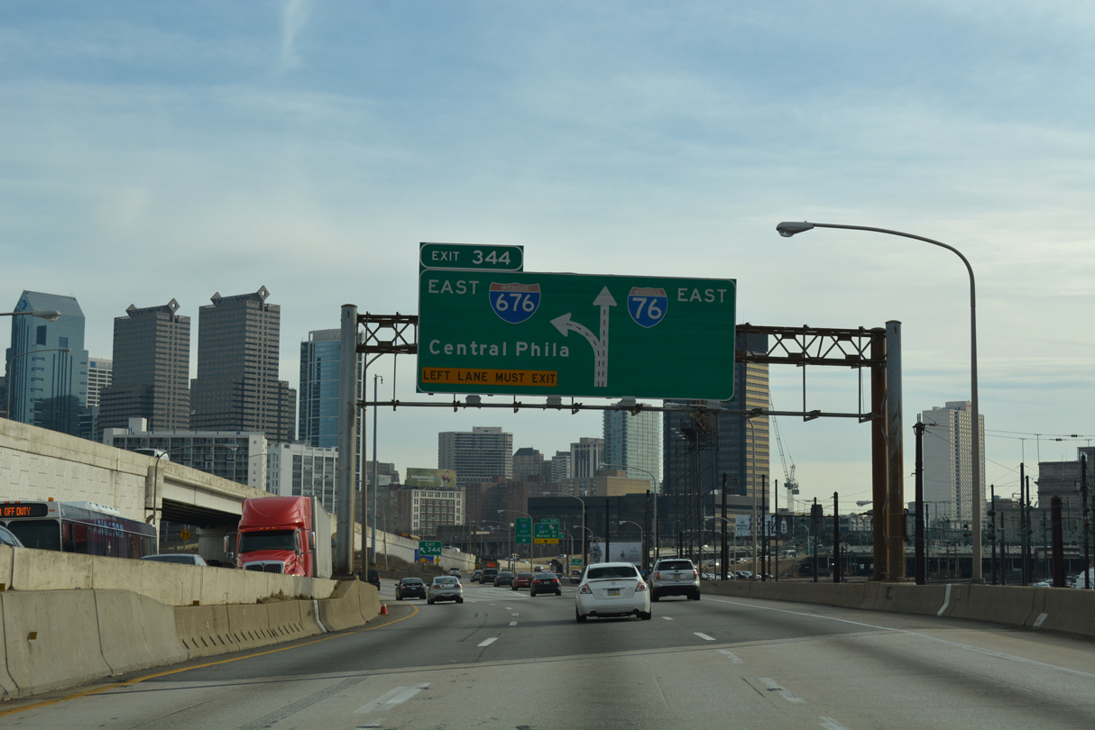
Traffic partitions with two lanes for I-76 east to South Philadelphia and two for I-676/U.S. 30 (Vine Street Expressway) to Center City. Opened initially in 1959 and completed in 1991, I-676 is a trenched freeway paralleling Vine Street east to ramps for both N 6th Street for the Benjamin Franklin Bridge and I-95 (Delaware Expressway).
12/21/16
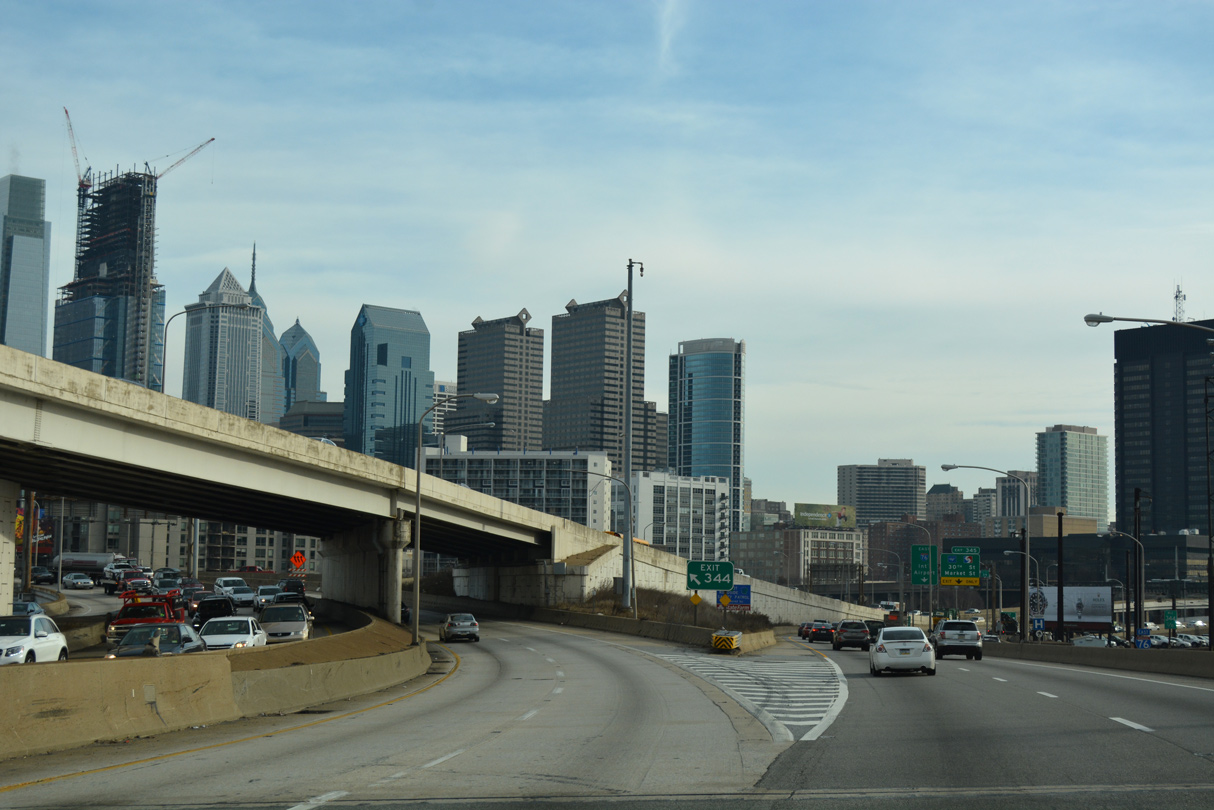
The Schuylkill Expressway reduces to two eastbound lanes at the trumpet interchange (Exit 344) with I-676/U.S. 30 east.
12/21/16
East
The loop ramp joining I-676/U.S. 30 (Vine Street Expressway) west with I-76 (Schuylkill Expressway) east forms a c/d roadway ahead of Exit 345.
04/25/04
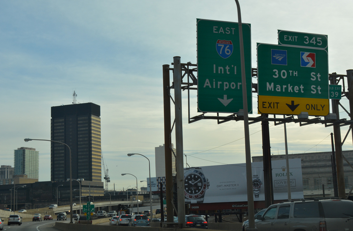
The c/d roadway splits with Exit 345 to 30th Street Station with AMTRAK / SEPTA Regional Rail service. The ramp connects with westbound PA 3 along Arch Street to 30th Street south. 30th Street takes PA 3 south to John F. Kennedy Boulevard west and Market Street (PA 3 east).
12/21/16
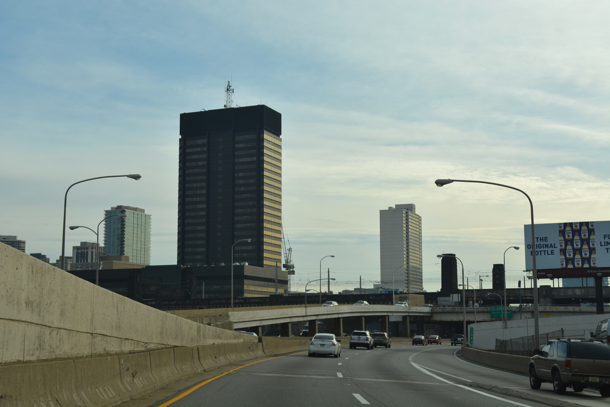
The Schuylkill Expressway passes under the superstructure of 30th Street Station along the ensuing stretch.
12/21/16
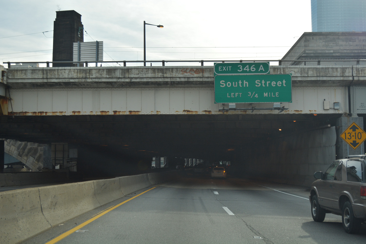
Passing below 30th Street Station, I-76 advances 0.75 miles to Left Exit 346A for South Street to Franklin Field at the University of Pennsylvania and Southwest Center City.
12/21/16
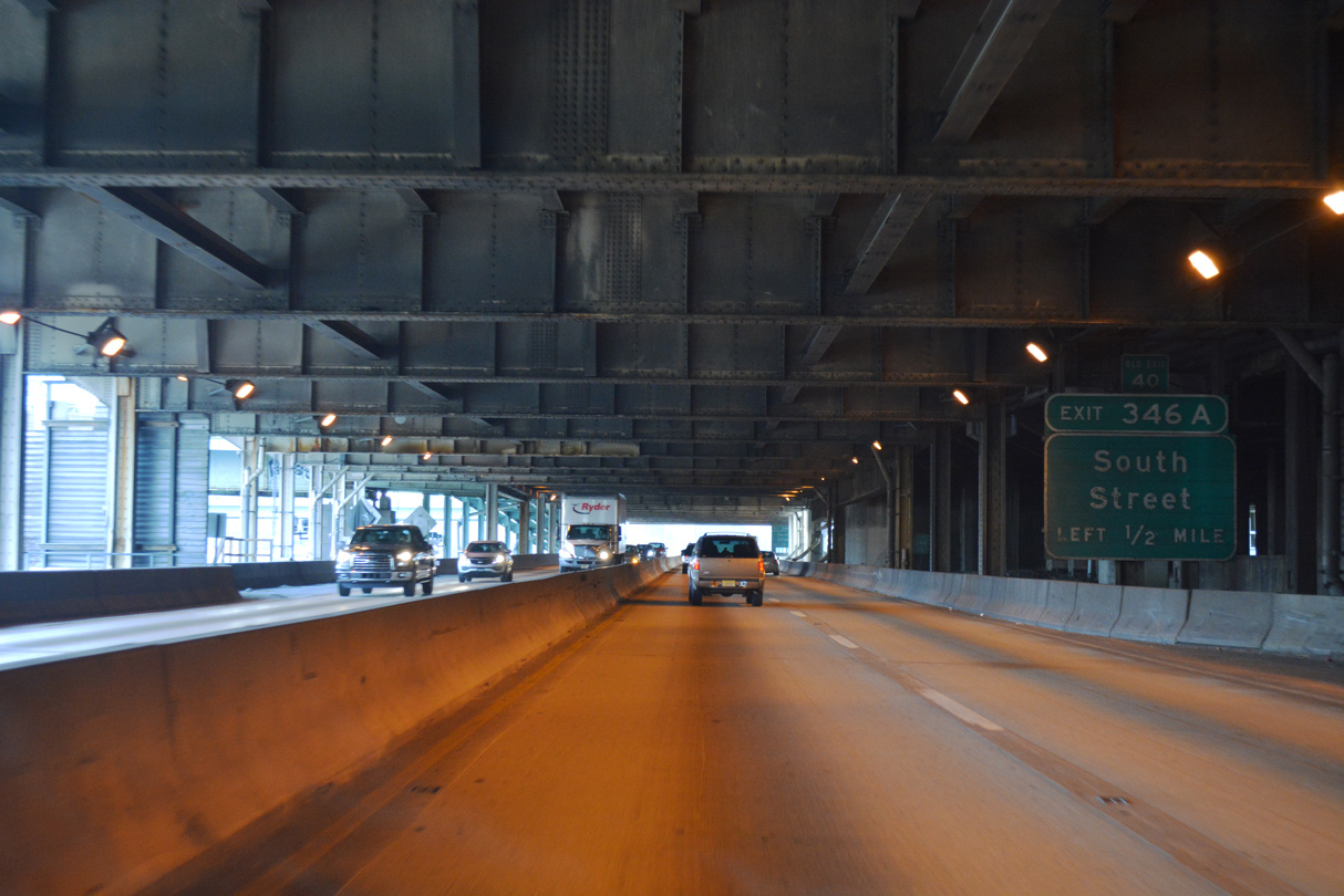
Interstate 76 passes below Market Street (PA 3), a half mile north of the single point interchange (Exit 346A) with South Street.
12/21/16
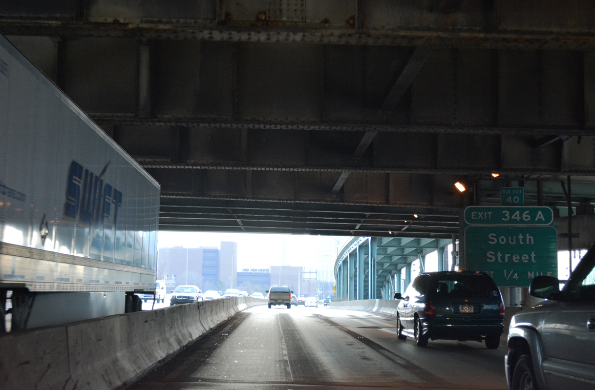
South Street was previously considered as a corridor for the southern leg of an urban freeway loop encircling Center City. Due to enormous costs for potential construction and the impacts on the community, the freeway was ultimately cancelled.
12/21/16
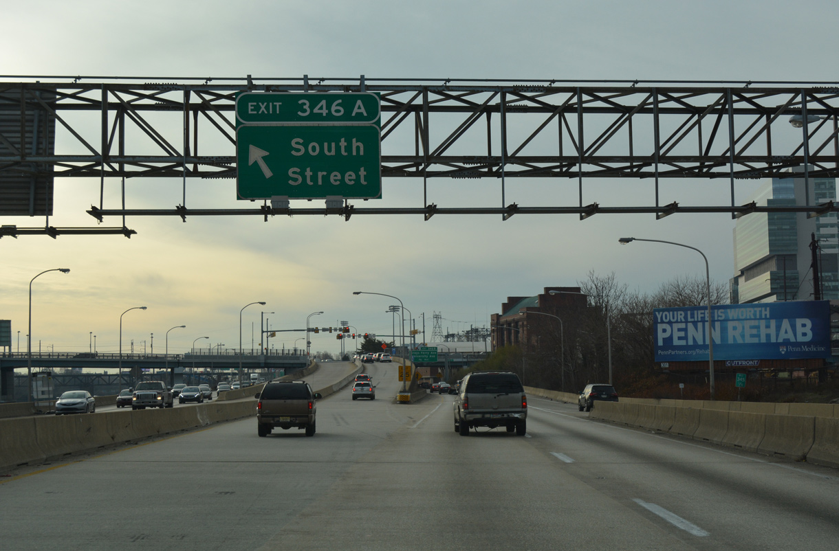
Left Exit 346A ascends from eastbound I-76 to South Street. South Street extends east to Society Hill, where it transitions to an urban street mall.
12/21/16
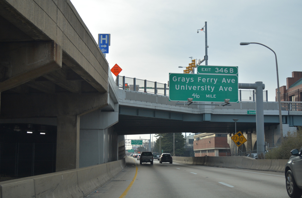
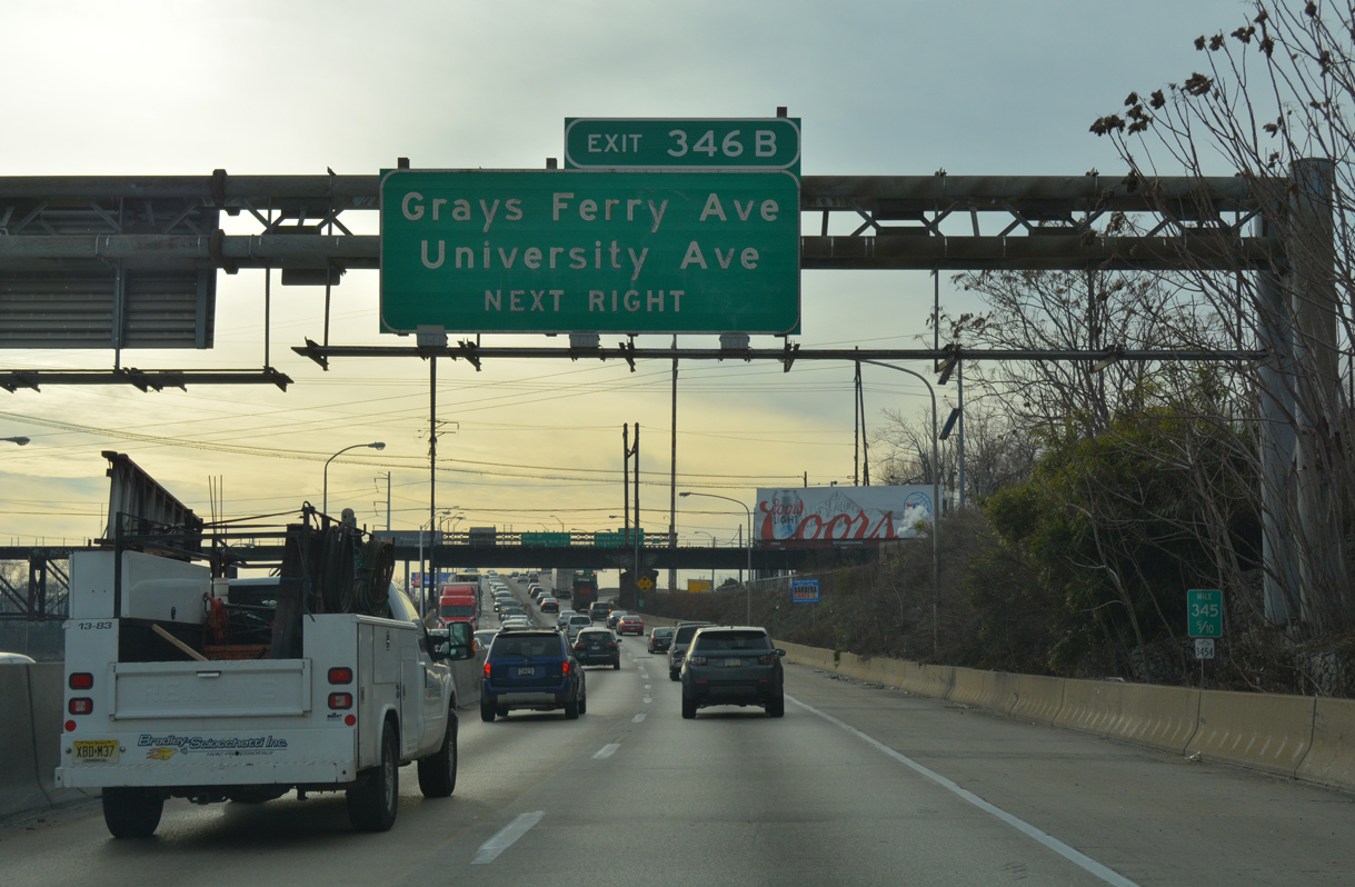
Interstate 76 continues four tenths of a mile from South Street to Exit 346B for Grays Ferry Avenue and University Avenue.
12/21/16
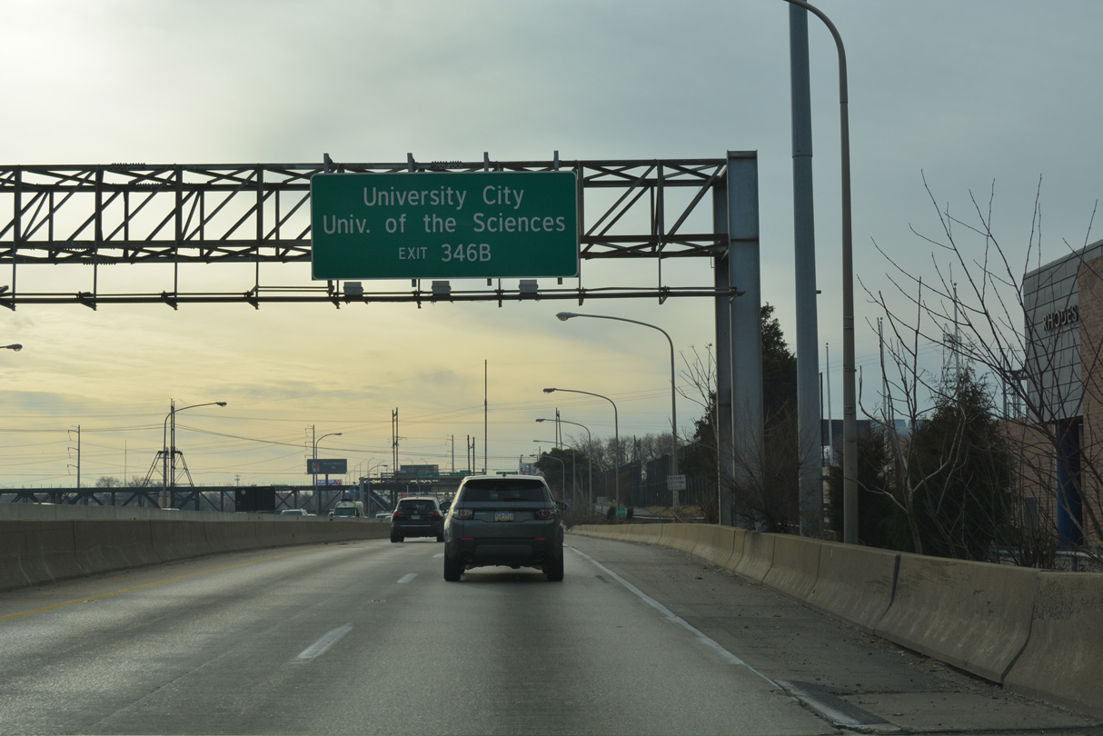
University Avenue winds northward from the University Avenue Bridge to U.S. 13 at Baltimore Avenue and S 38th Street in University City. The 35 acre University of the Sciences campus lies southwest via Woodland Avenue.
12/21/16
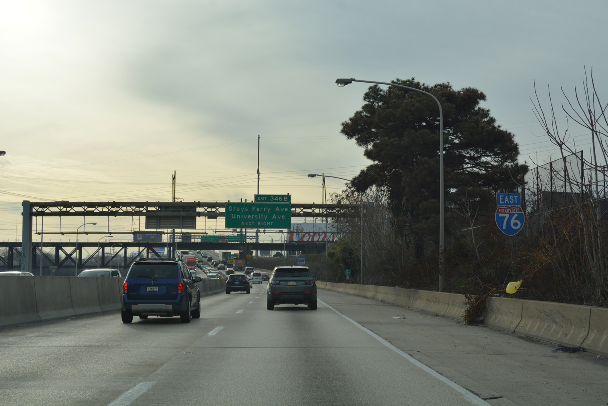
Interstate 76 rises to cross the Schuylkill River beyond the Schuylkill Arsenal Railroad Bridge and wye interchange (Exit 346B) with University Avenue.
12/21/16
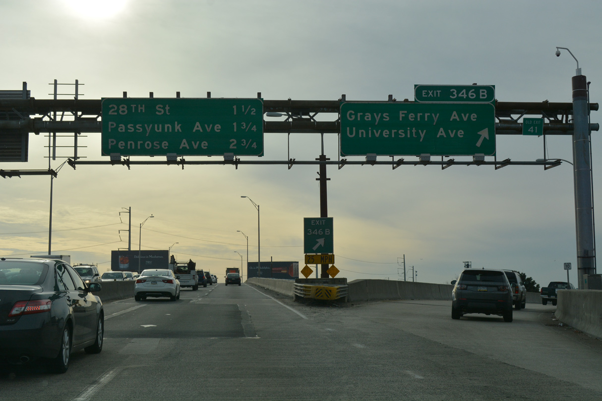
Exit 346B connects with the University Avenue Bridge to S 34th Street and Grays Ferry Avenue.
12/21/16
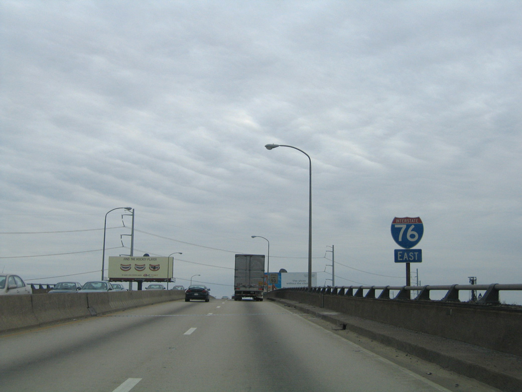
Removed confirming shield for I-76 east on the four lane Schuylkill Expressway Bridge.
04/25/04
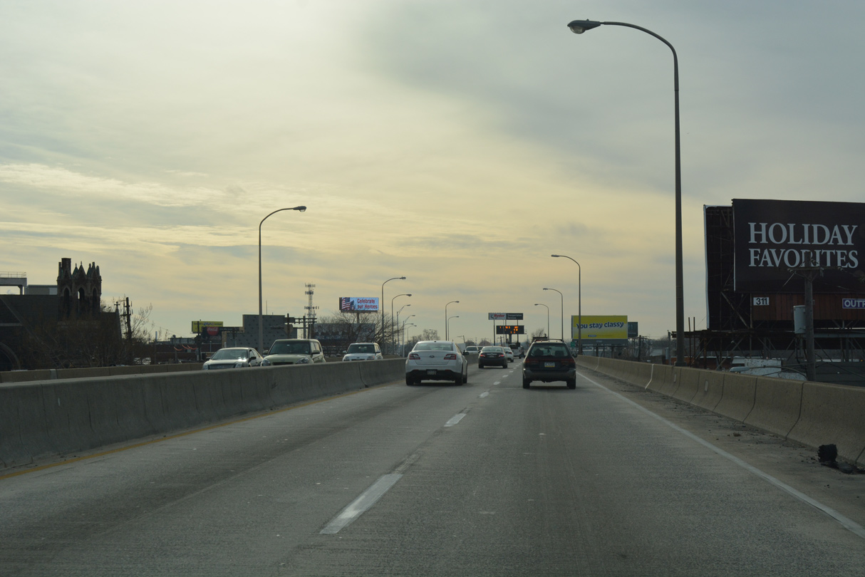
Built in 1956, the Schuylkill Expressway Bridge measures 1,645 feet in length with a 55.8 foot wide roadway deck. The span rises 16.4 feet above the Schuylkill River (Baughn, n.d.).
12/21/16
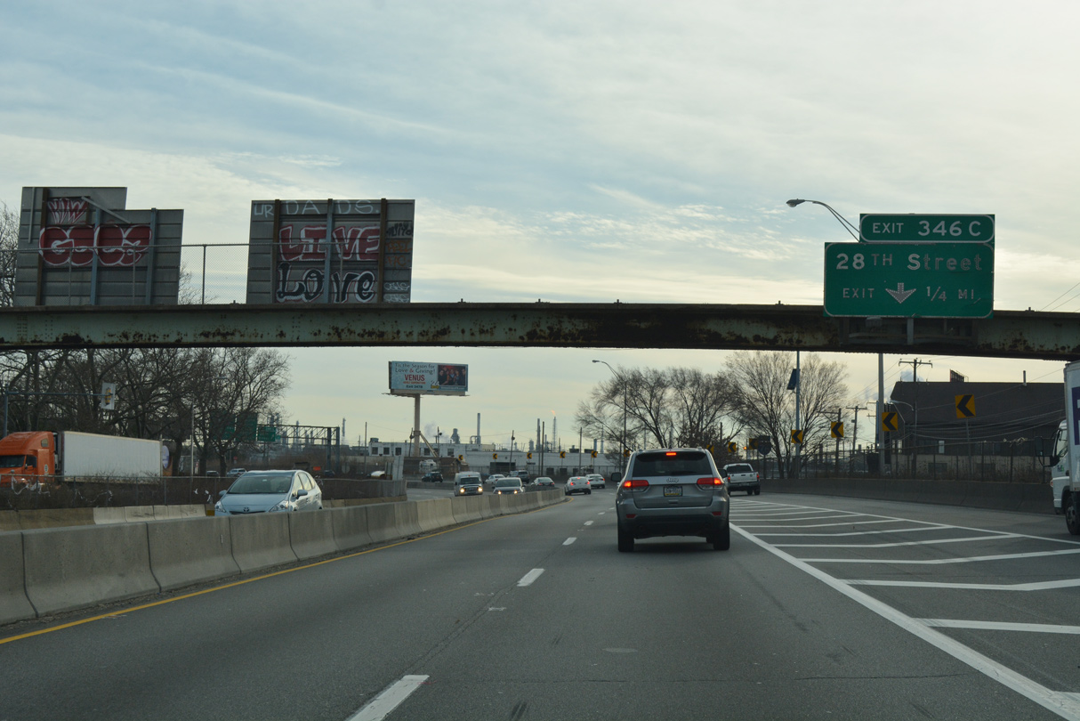
Turning southeast around the Grays Ferry neighborhood, Interstate 76 gains frontage streets (Warfield Street / Vare Avenue) to Exit 346C / 28th Street.
12/21/16
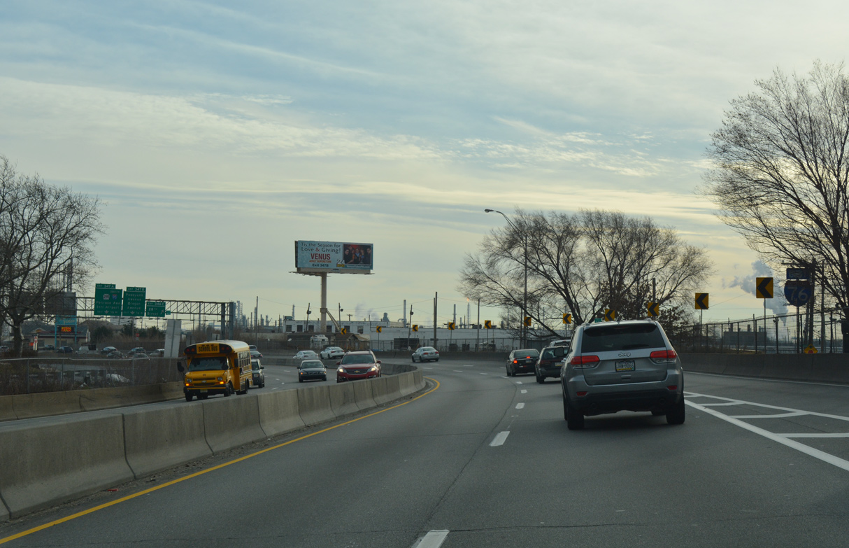
The Schuylkill Expressway expands to six overall lanes with the addition of two auxiliary lanes.
12/21/16
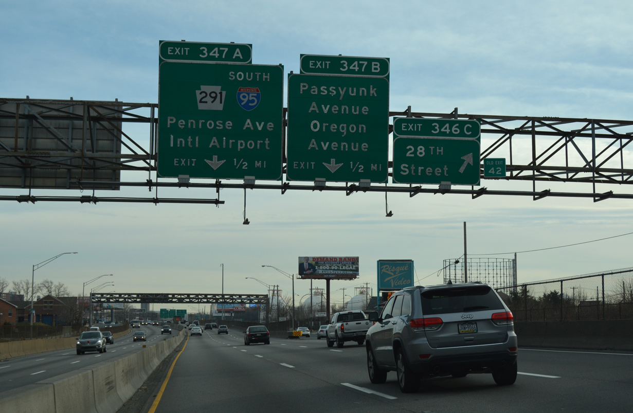
Exit 346C constitutes a slip ramp onto adjacent Vare Avenue leading to S 28th Street. 28th Street intersects Passyunk Avenue east of the Philadelphia Gas Works complex.
12/21/16
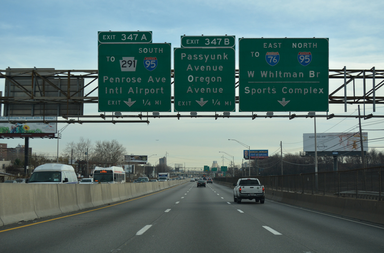
Progressing southeast toward the Walt Whitman Bridge, Interstate 76 next meets S 26th Street, Passyunk Avenue and Oregon Avenue. The freeway mainline reduces to a single through lane to the right.
12/21/16
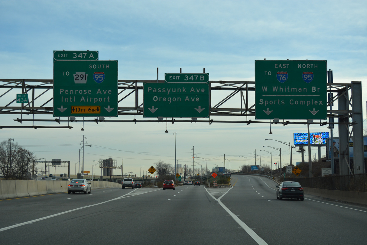
Left Exit 347A to S 26th Street (PA 291) and Left Exit 347B for Passyunk Avenue and Oregon Avenue depart from I-76 eastbound simultaneously. Passyunk Avenue leads to Southwest Philadelphia and the West Passyunk neighborhood. Oregon Avenue parallels I-76 east through South Philadelphia West.
12/21/16
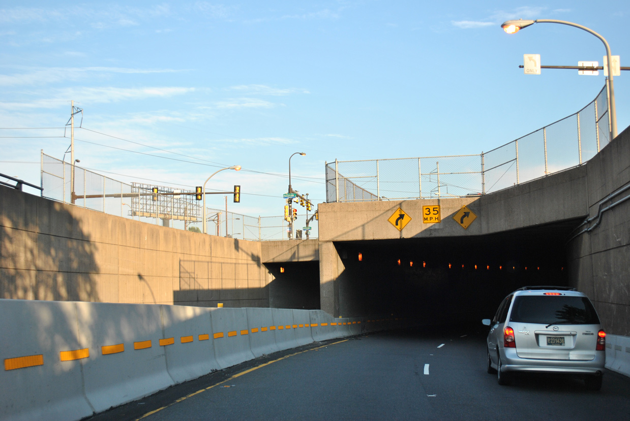
Exit 347A tunnels below the intersection of Oregon and Passyunk Avenues onto PA 291 (S 26th Street) south to Penrose Avenue. PA 291 angles southwest across the Schuylkill River on the George Platte Bridge to I-95 south at Philadelphia International Airport (PHL).
06/03/12
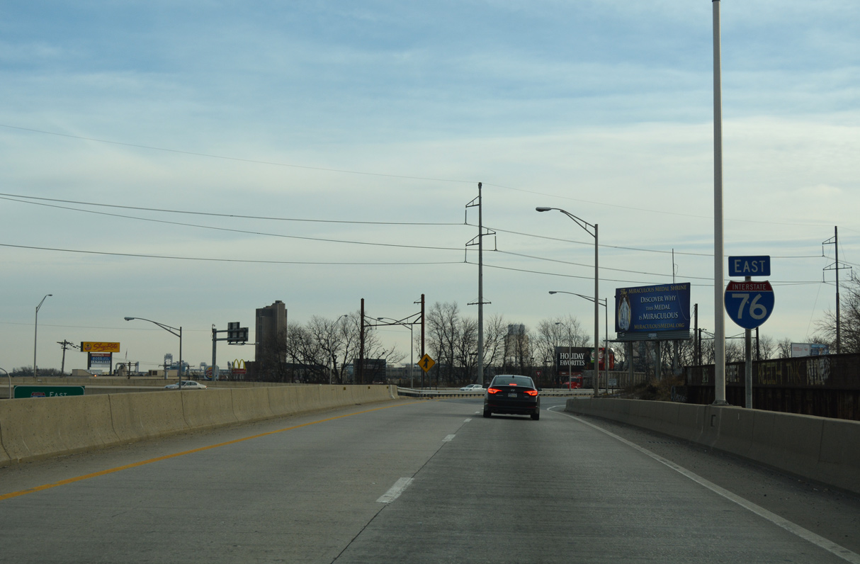
Eastbound Interstate 76 expands to two lanes above Passyunk Avenue and S 28th Street.
12/21/16
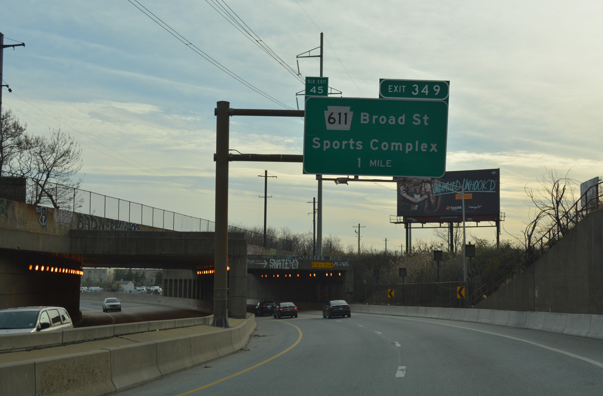
The Schuylkill Expressway turns east one mile ahead from Exit 349 to PA 611 (Broad Street). PA 611 follows Broad Street south to I-95 at the Girard Point Bridge and north to Old York Road in the Fern Rock section of the city. Broad Street south of Market Street and City Hall was once a part of PA 291.
12/21/16
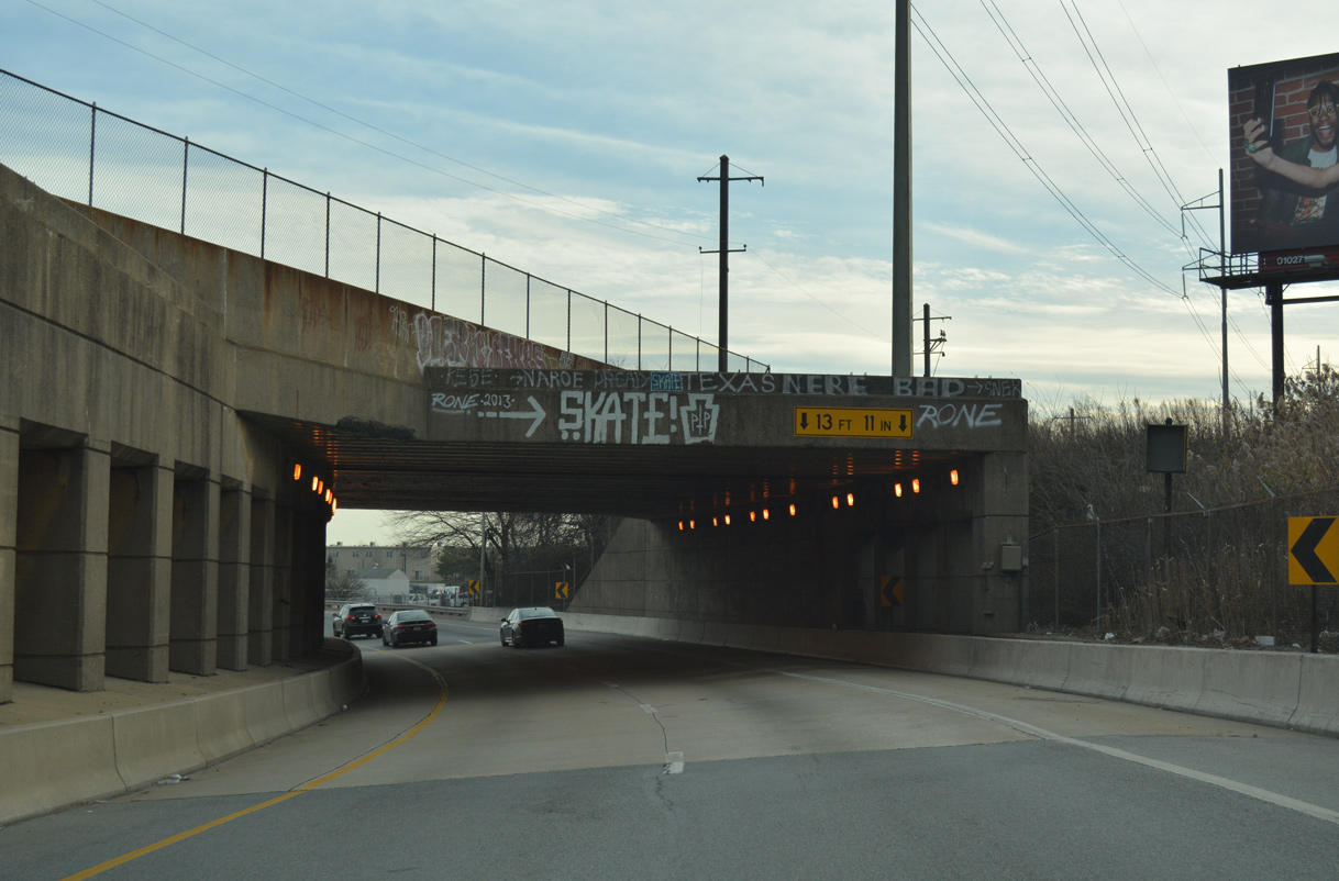
SEPTA Regional Rail, Penn Central and Baltimore and Ohio Railroad lines span Interstate 76.
12/21/16
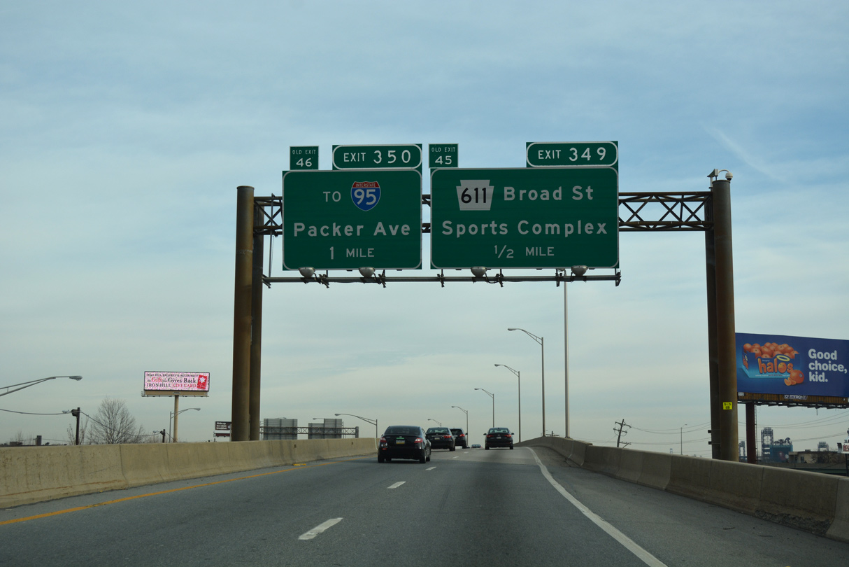
Interstate 76 elevates along a viaduct above the intersection of S 20th Street and Penrose Avenue. Forthcoming Broad Street runs west of Citizens Bank Park (home of the Phillies), Lincoln Financial Field (home of the Eagles) and Wells Fargo Center (home of the 76ers and Fliers).
12/21/16
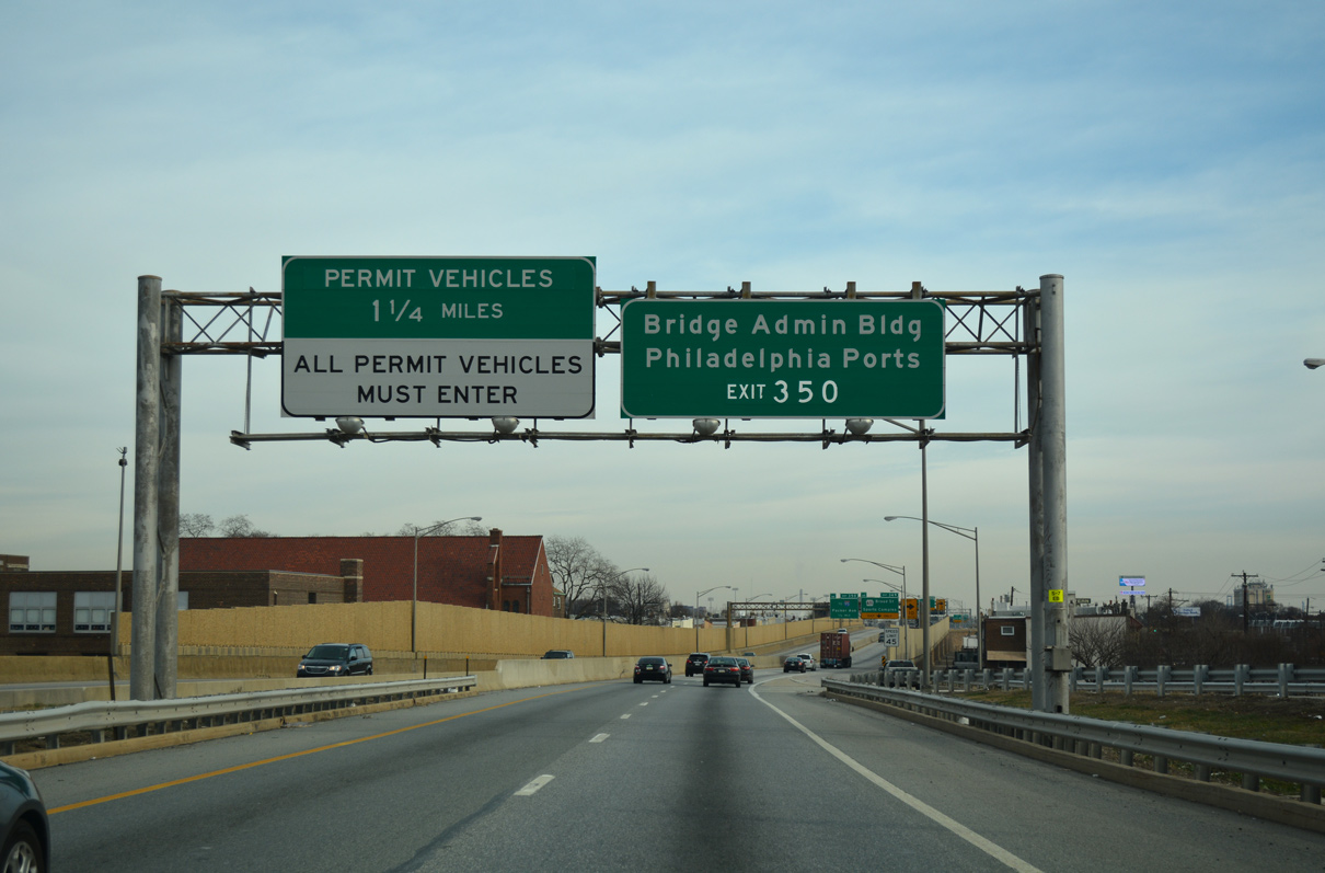
Posted within the wye interchange (Exit 348) for Penrose Avenue, supplemental overheads reference the DRPA Bridge Administration Building, the Philadelphia Ports, and Permit Vehicles for commercial traffic using the Walt Whitman Bridge.
12/21/16
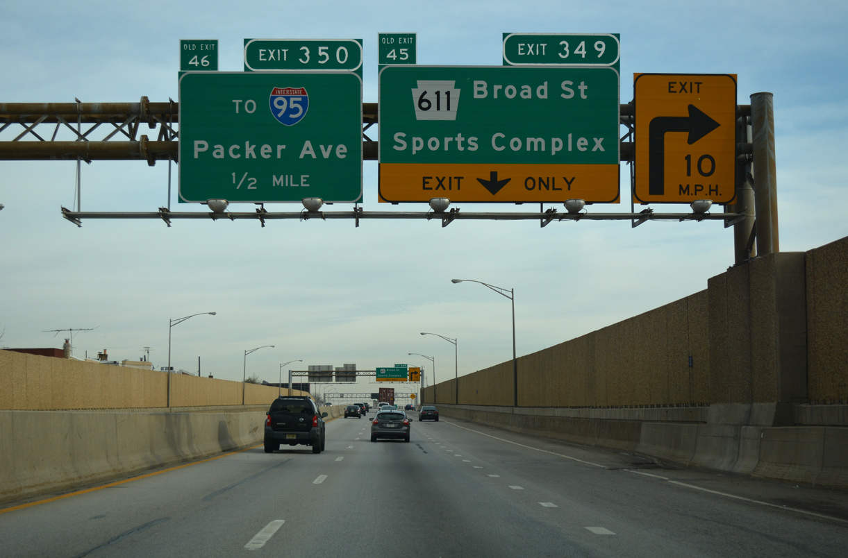
The parclo interchange (Exit 349) linking the Schuylkill Expressway with Broad Street (PA 611) utilizes sharply curved ramps within a tight area bound by Curtin and Pollock Streets.
12/21/16
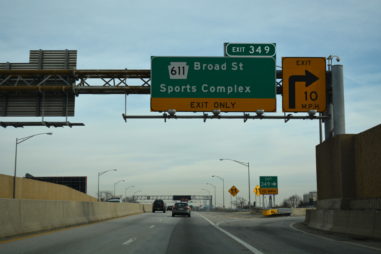
Exit 349 departs I-76 east for PA 611. Northward Broad Street passes through Marconi Plaza en route to City Hall at Market Street (PA 3). PA 611 was a part of U.S. 611 north of Market Street until 1976.
12/21/16
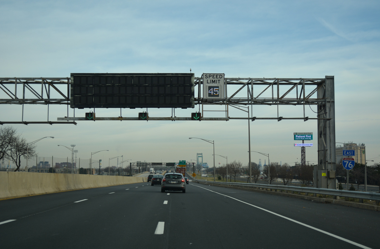
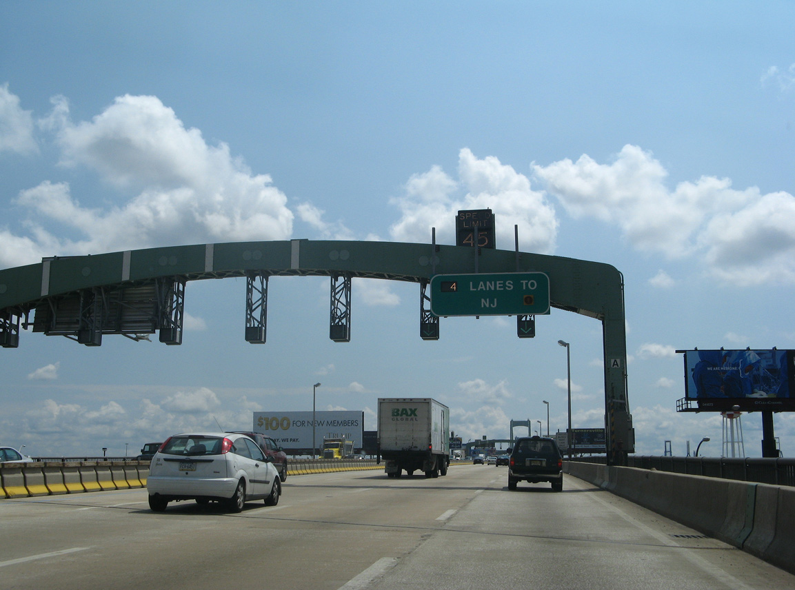
The Walt Whitman Bridge to Camden, New Jersey comes into view beyond Broad Street. Operated by the Delaware River and Ports Authority (DRPA), variable Speed Limits are used both on the bridge approaches and across the span.
12/21/16
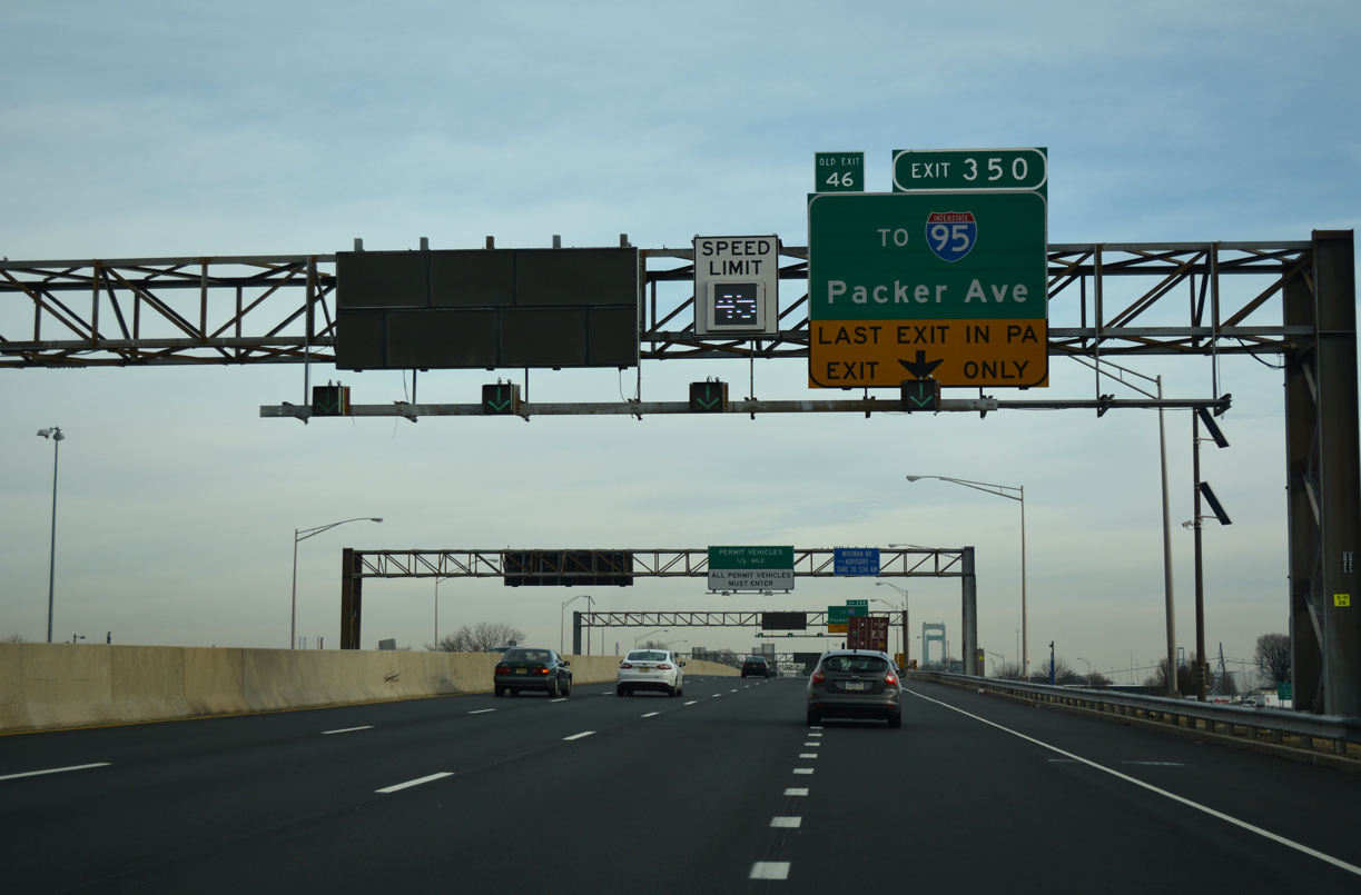
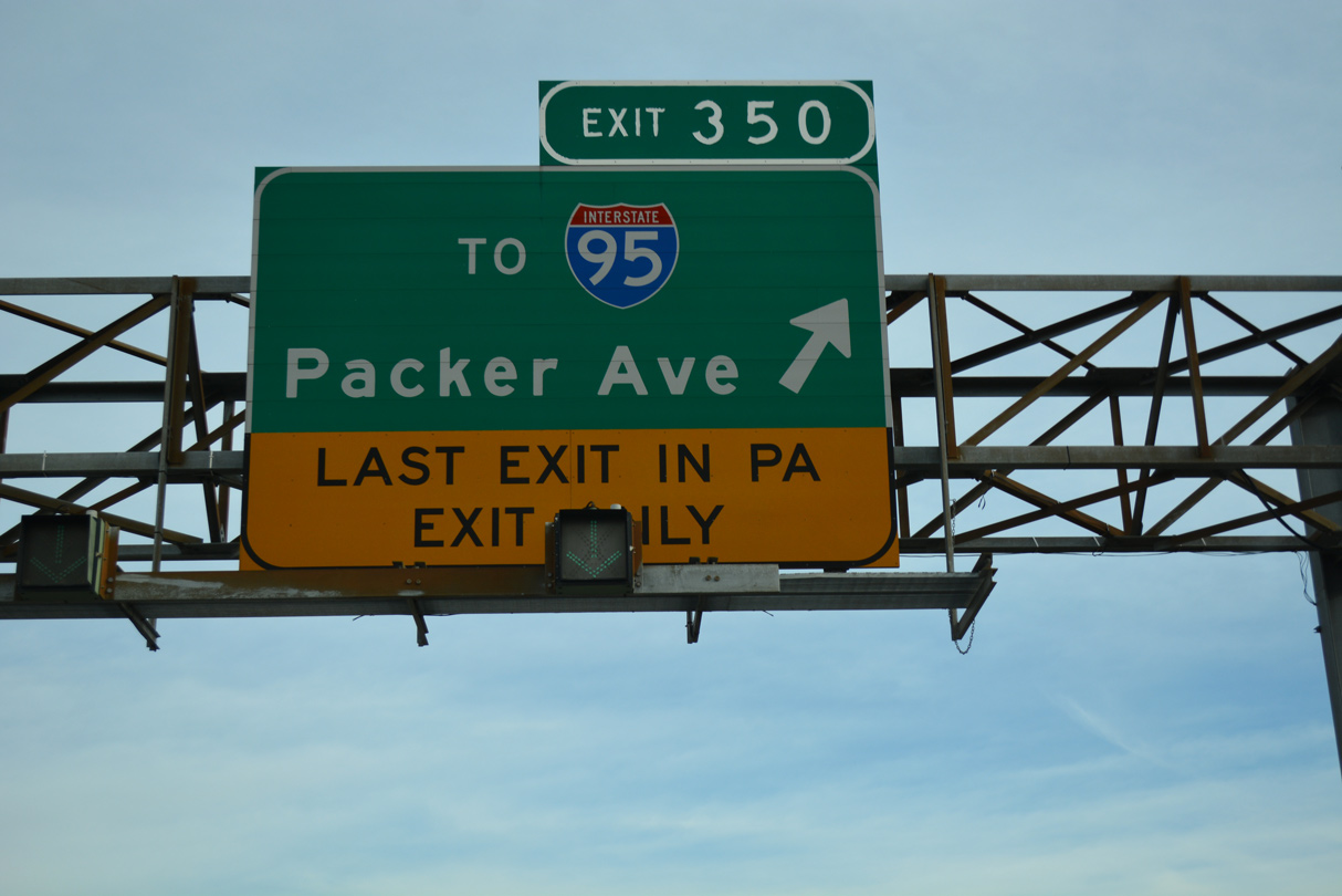
There is no direct access from I-76 east to Interstate 95 (Delaware Expressway). Instead Packer Avenue provides part of a Breezewood connection to I-95 at Front Street.
12/21/16
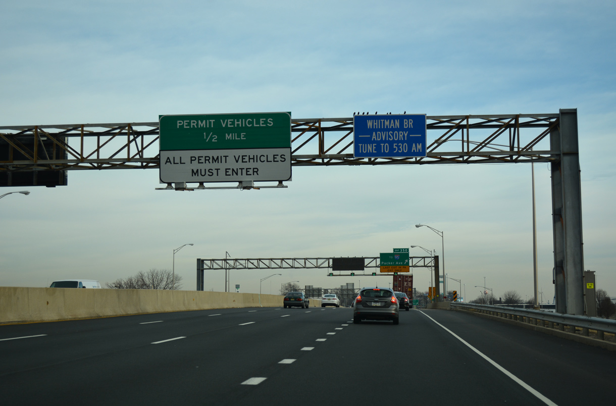
Right in right out ramps (Exit 350) link I-76 eastbound with parallel Packer Avenue ahead of the Whitman Bridge Toll Plaza.
12/21/16
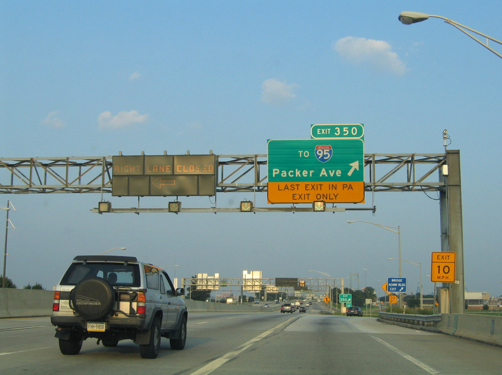
Exit 350 separates from Interstate 76 to Darien Street at Packer Avenue. Darien Street stems south to Citizens Bank Park and Lincoln Financial Field. Packer Avenue east to Front Street north connects with ramps to both directions of I-95.
08/04/04
12/21/16

Tolls for the Walt Whitman Bridge are collected in the westbound direction of Interstate 76 at a toll plaza adjacent to Packer Avenue and Front Street.
12/26/24

The Walt Whitman Bridge accommodates seven overall lanes. A zipper barrier separates traffic, allowing the DRPA to adjust the number of lanes for each direction of I-76.
12/26/24
Exit 354 for I-76C to Interstate 676 north, U.S. 130 and New Jersey Route 168 at the east end of the Walt Whitman Bridge continues the I-76 numbering system from Pennsylvania.
12/26/24

Opened on May 16, 1957, the Walt Whitman Bridge measures 11,981 feet from abutment to abutment (DRPA, n.d.).
12/26/24
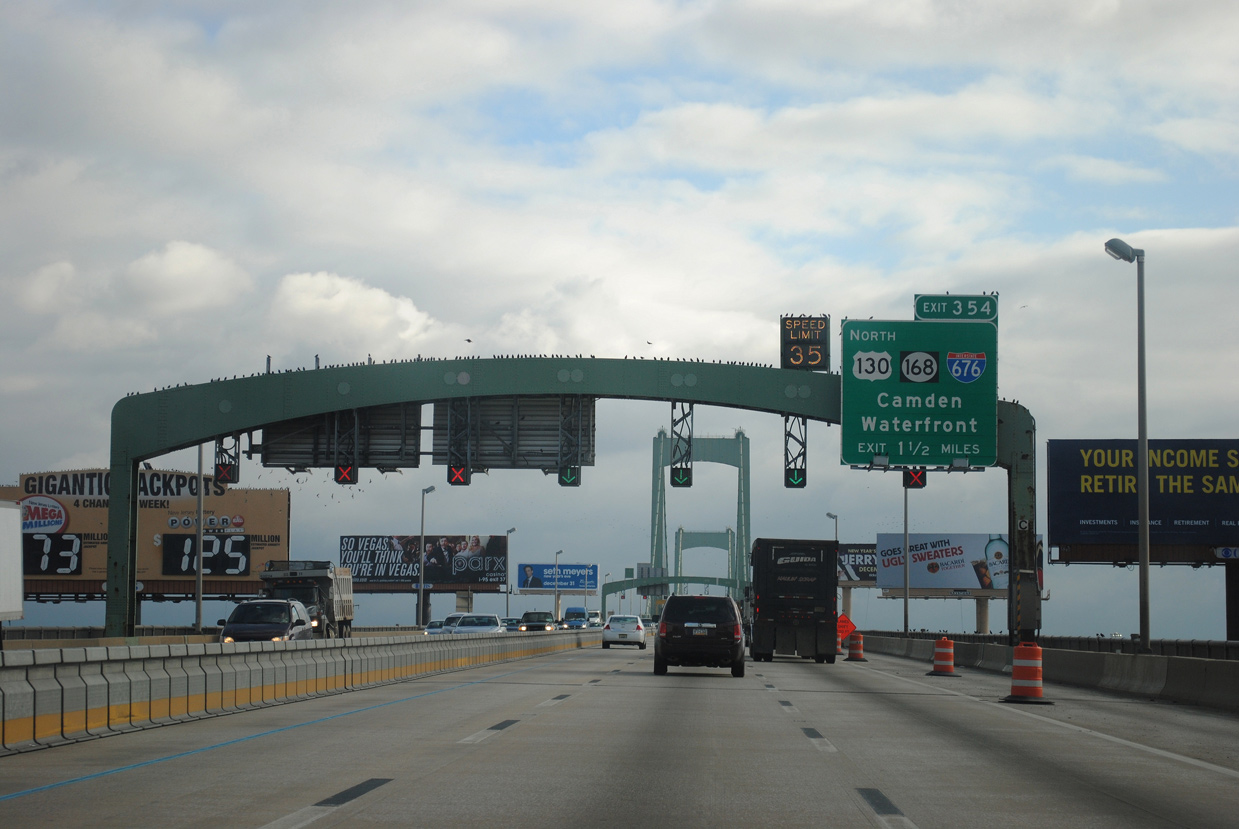
Interstate 676 returns to I-76 from the Ben Franklin Bridge (U.S. 30) and Camden at Exit 354, where unsigned I-76C branches east to U.S. 130 (Crescent Boulevard) north and NJ 168 (Black Horse Pike) south.
12/26/24

The towers of the Walt Whitman Bridge top out at 378 feet above mean high water (Weart, 1957).
12/26/24

Interstate 76 crosses the New Jersey state line midway across the Delaware River.
12/26/24


References:
Anderson, S. (n.d.) Schuylkill Expressway (I-76). PhillyRoads.com. http://www.phillyroads.com/roads/schuylkill/
Baughn, J. (n.d.). SCHUYLKILL EXPWAY. over SCHUYLKILL RIVER;CSX RR, Philadelphia County, Pennsylvania. BridgeReports.com. https://bridgereports.com/1476780
Delaware River Port Authority Bridges (DRPA). (n.d.). Walt Whitman Bridge. DRPA. https://www.drpa.org/bridges/walt-whitman-bridge.asp
Weart, W. (1957, April 21). Philadelphia'S New Shore Route; Whitman Span to Speed The Summer Traffic Out of the City. The New York Times. https://www.nytimes.com/1957/04/21/archives/philadelphias-new-shore-route-whitman-span-to-speed-the-summer.html
Photo Credits:
- Alex Nitzman: 04/25/04, 08/04/04, 06/03/12, 12/21/16, 12/26/24
Connect with:


Page Updated Thursday May 28, 2026.