
Interstate 79
Within the Mountain State, Interstate 79 travels 160.52 miles on a northeasterly route from Charleston toward Pittsburgh, Pennsylvania. The freeway generally follows the U.S. 19 and 119 corridors, connecting Charleston with Sutton, Clarksburg, Fairmont, and Morgantown.
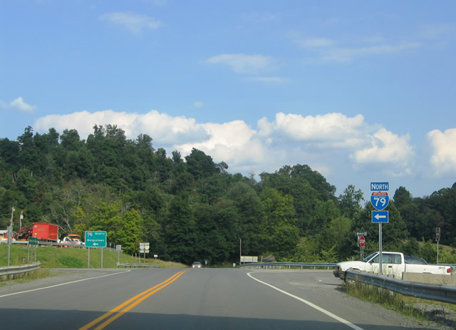
Originating from I-77 near Charleston, I-79 angles northeast along a mountainous course, initially staying north of populous areas along U.S. 119 and the Elk River. Beyond a connection to U.S. 119 north of Clendenin, I-79 advances easterly through the center of the Mountain State, passing near the communities of Amma and Wallback. U.S. 19 joins I-79 as the freeway turns north to Sutton. The two overlap to Flatwoods, where U.S. 19 branches northeast to Napier while I-79 continues north to Burnsville.
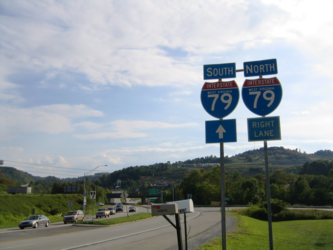
Lining the western reaches of the Allegheny Mountain range, Interstate 79 and U.S. 19 reconvene ahead of Weston. I-79 bypasses the Lewis County seat to the southeast, turning northerly once more at the western end of U.S. 48. Advancing northerly from Weston, I-79 passes to the east of Clarksburg and Fairmont before turning northeast to I-68 near Morgantown. Passing west of Morgantown, I-79 angles northwest alongside U.S. 19 to the Pennsylvania border.
Interstate 79 West Virginia Guides
North - Charleston to Sutton - 7 photos
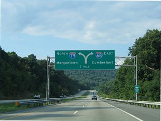
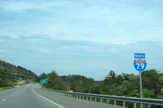
North - Fairmont to Morgantown - 15 photos
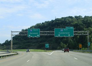
South - Morgantown to Fairmont - 15 photos
Goshen Road (CR 77) east at the entrance ramp for Interstate 79 northboiund to Morgantown. The exchange joining I-79 with I-68 east is located nearby. Goshen Road continues 3.7 miles to U.S. 119 (Grafton Road).
08/07/04
Dents Run Road (CR 49) intersects U.S. 19 (Fairmont Road) ahead of the parclo interchange with Interstate 79 at the Morgantown suburb of Westover.
08/07/04
Photo Credits:
- Alex Nitzman: 08/07/04
Connect with:
Page Updated Saturday May 01, 2021.