
Interstate 80 East - Echo to Wyoming
 East
East  North
North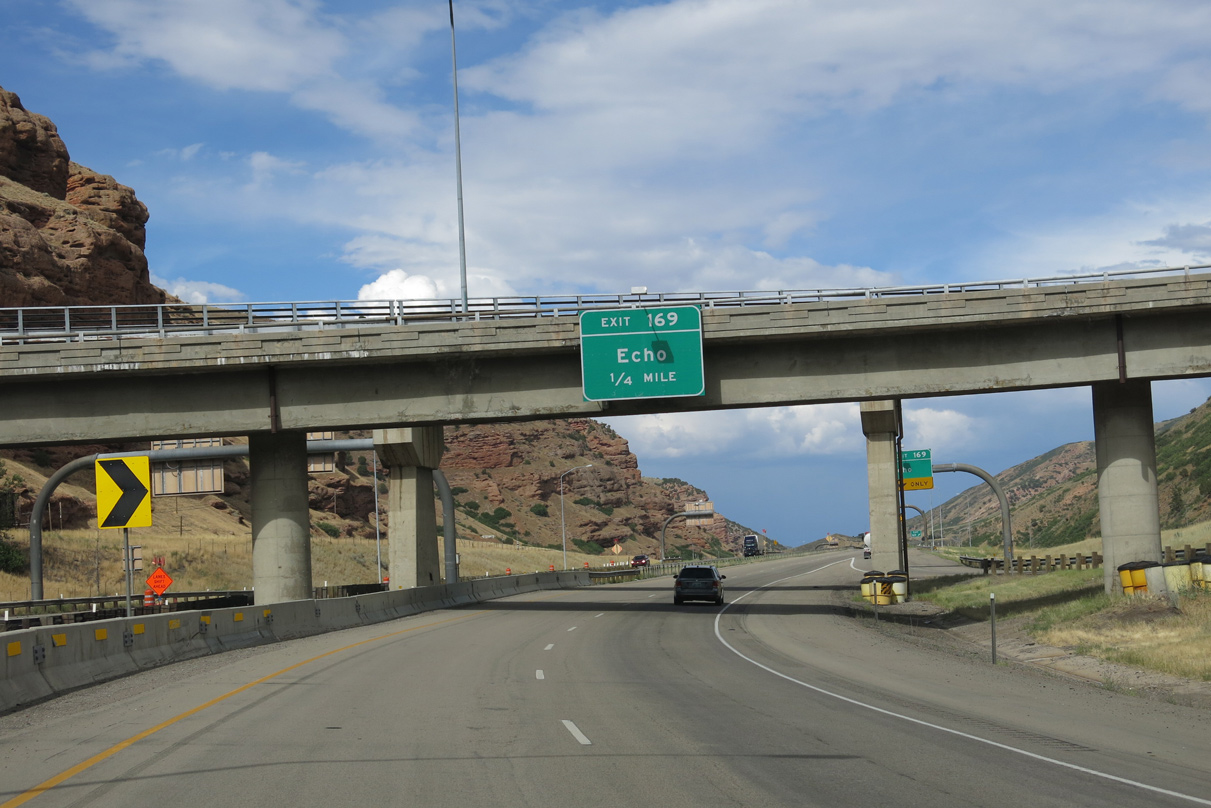
A diamond interchange (Exit 169) lies one quarter mile east of I-84 and an abandoned Union Pacific Railroad bridge with Echo Dam Road.
08/05/13
The I-84 eastbound on-ramp forms a short auxiliary lane to Exit 169 with Echo Dam Road. Echo Dam Road straddles the east side of Echo Reservoir south to the city of Coalville as the former alignment of U.S. 189.
08/05/13
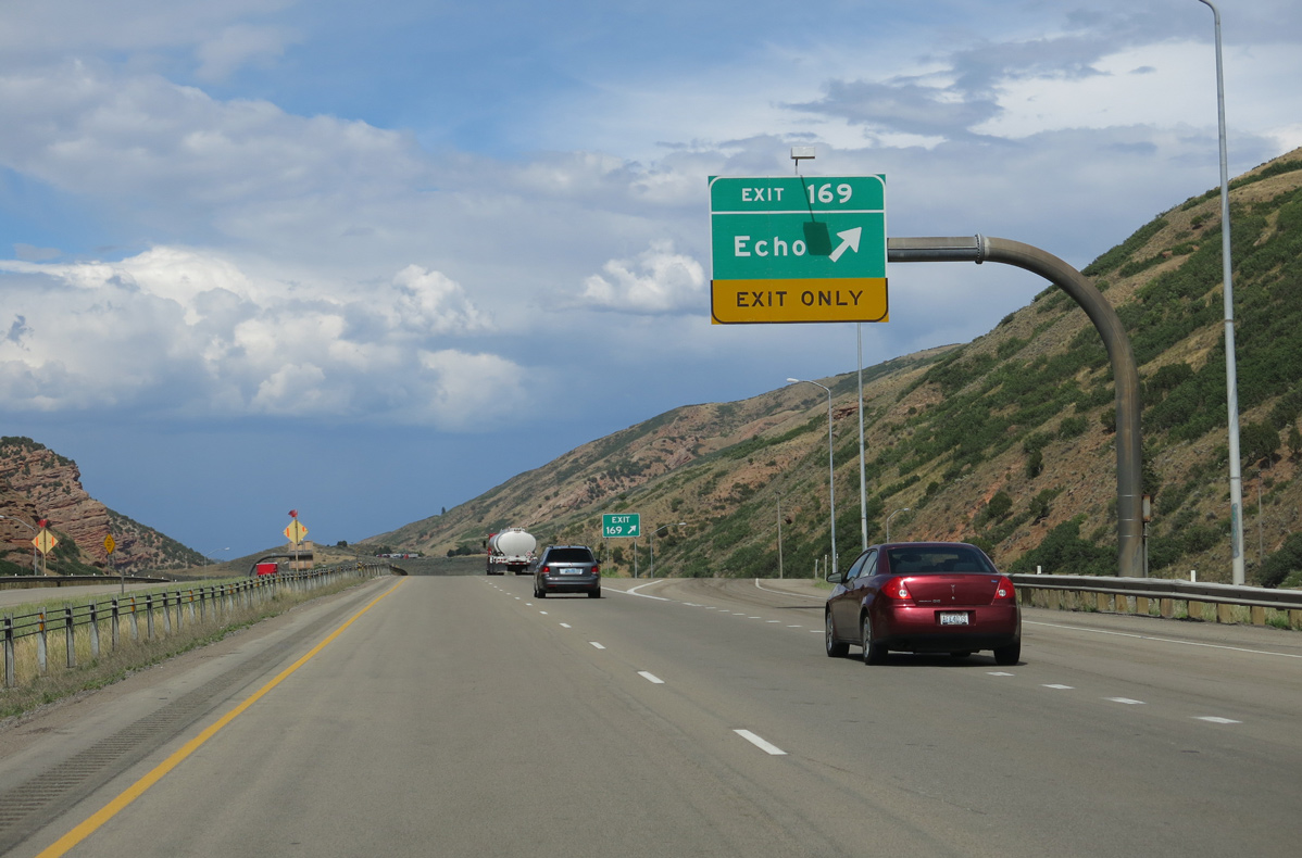
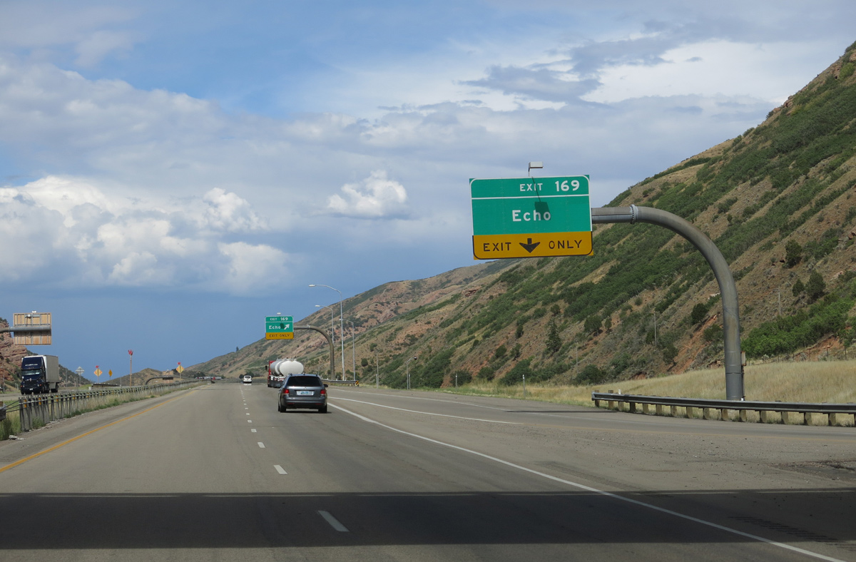
Exit 169 departs Interstate 80 east. Echo Dam Road connects the freeway with both Echo Road (old U.S. 30S) south into Echo and Echo Canyon Road (old U.S. 30S/189) east to Emory.
08/05/13
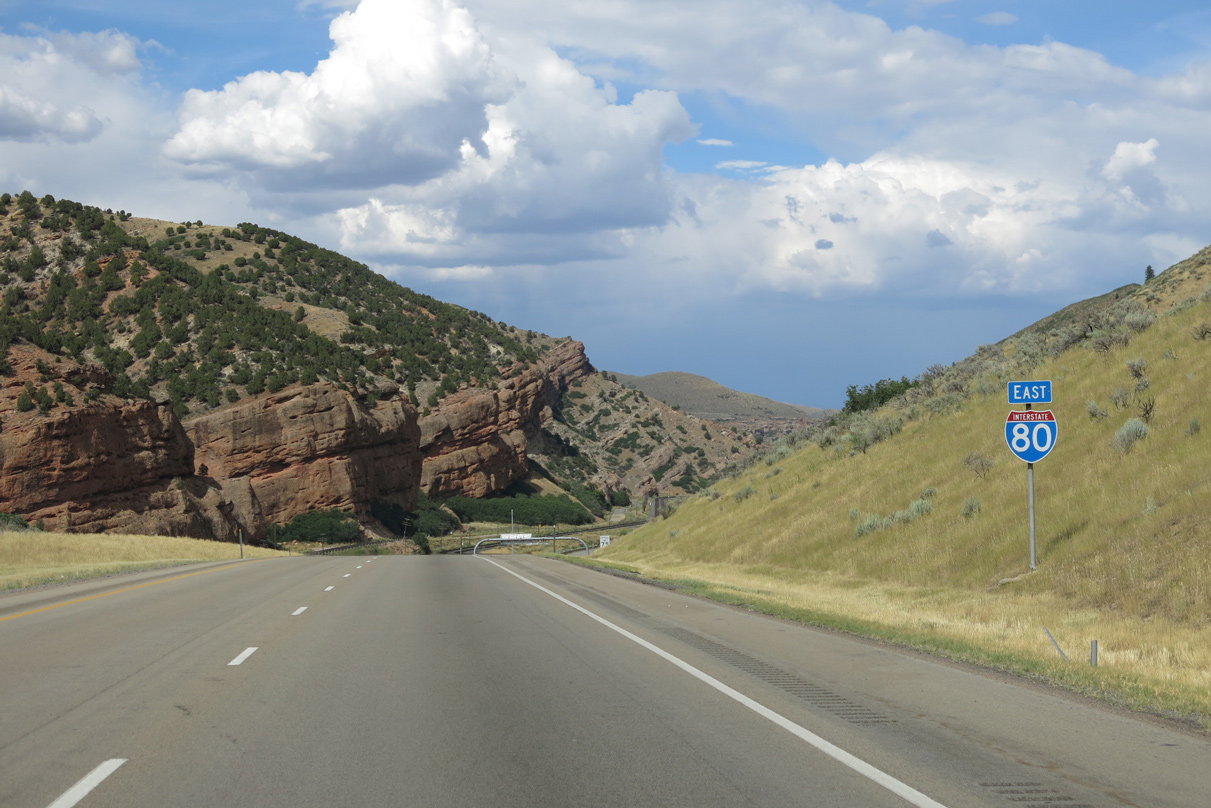
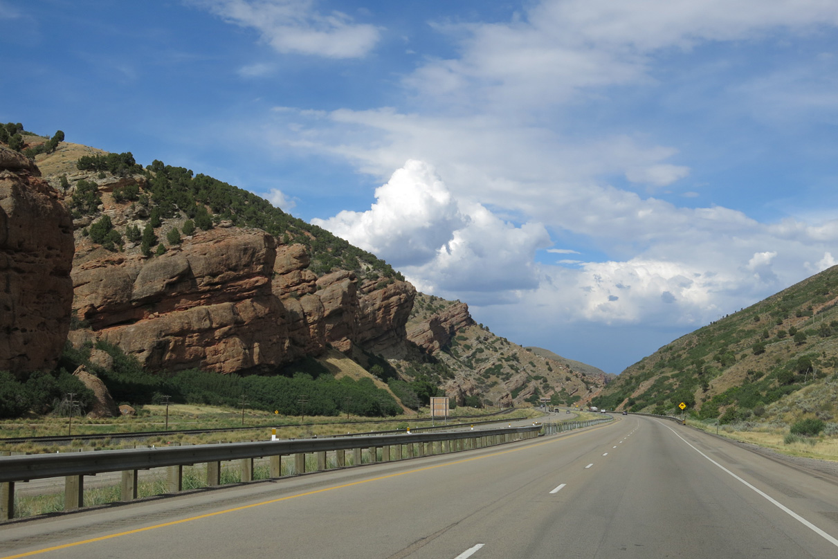
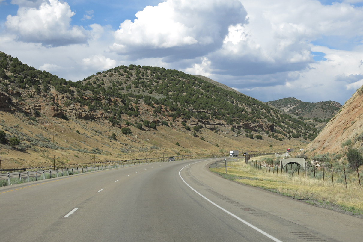
The remainder of Interstate 80 east in Utah travels through Echo Canyon.
08/05/13
The Echo Canyon Rest Area provides a stopping point in both directions of Interstate 80. The eastbound facility includes 15 car stalls and 5 truck/RV stalls.
08/05/13
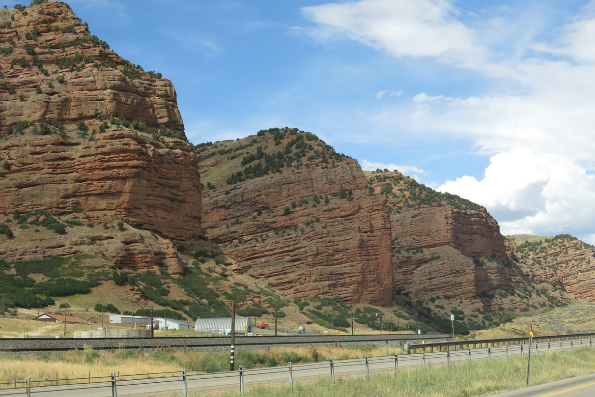
The Echo Canyon Rest Area also afford motorists the chance to take in the scenery of the red rock facades rising above parallel Echo Canyon Road (old U.S. 30S/189).
08/05/13
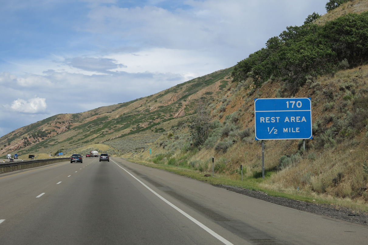
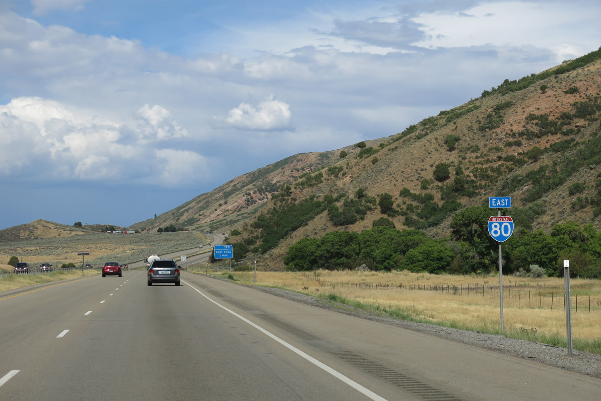
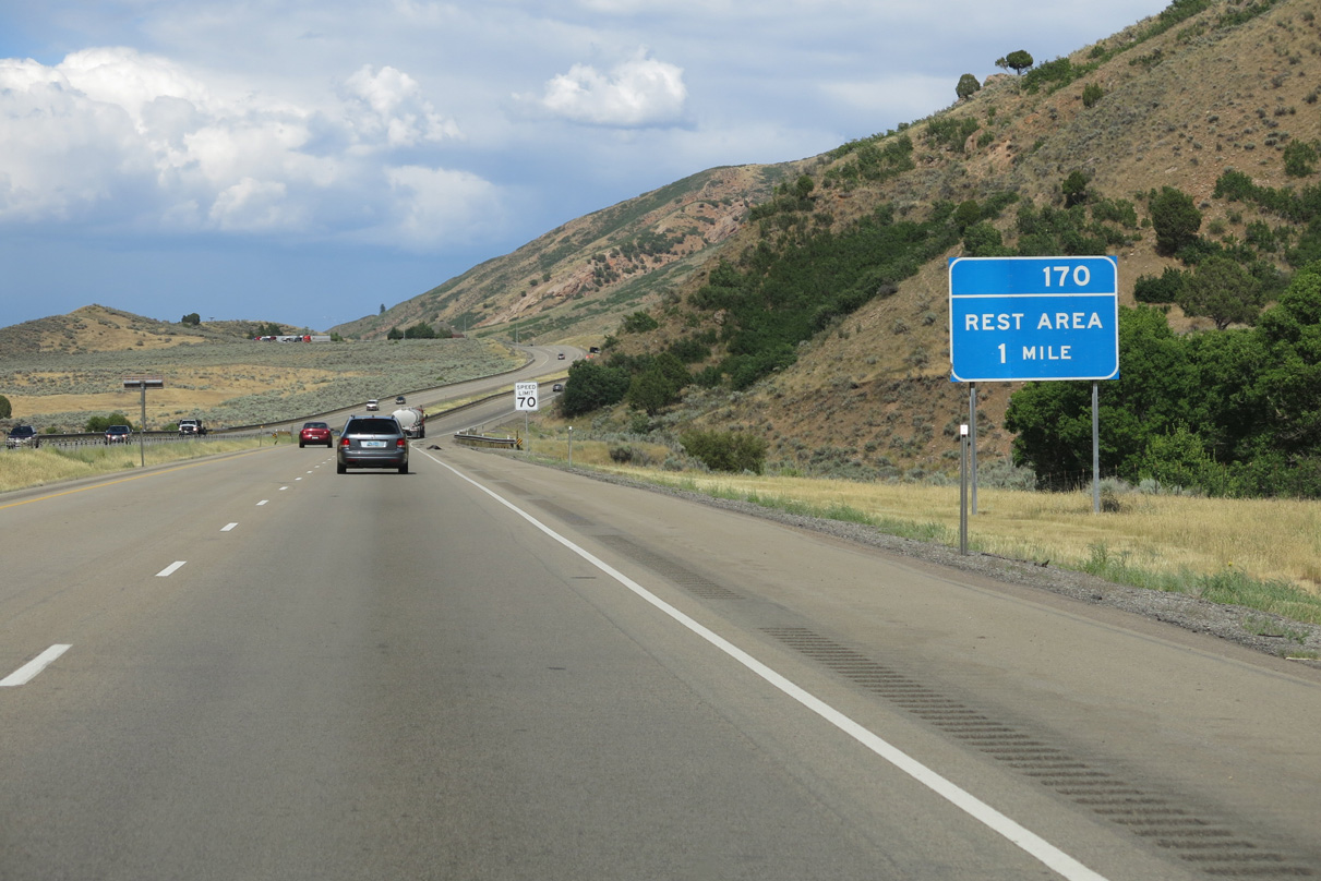
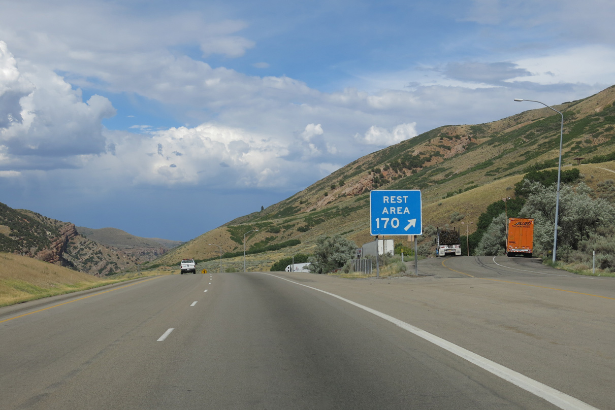
One half mile ahead of off-ramp (Exit 170) for the Echo Canyon Rest Area on I-80 east. The facility is situated around 5,700 feet above sea level.
08/05/13
Eastbound Interstate 80 at the Echo Canyon Rest Area. The canyon is fed by Echo Creek, which flows between the freeway and the adjacent Union Pacific Railroad line.
08/05/13
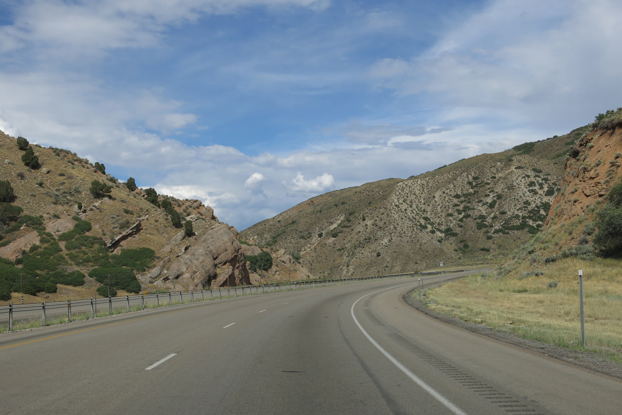
Leading away from the rest area, Echo Canyon narrows as I-80 advances toward Castle Rock and Wahsatch. 14,685 vehicles per day (vpd) were recorded on this segment in 2014 by UDOT.
08/05/13
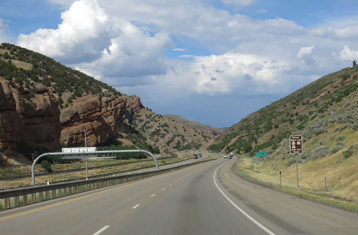
Interstate 80 follows the Pony Express, California and Mormon Pioneer National Historic Trails northeast into Wyoming.
08/05/13
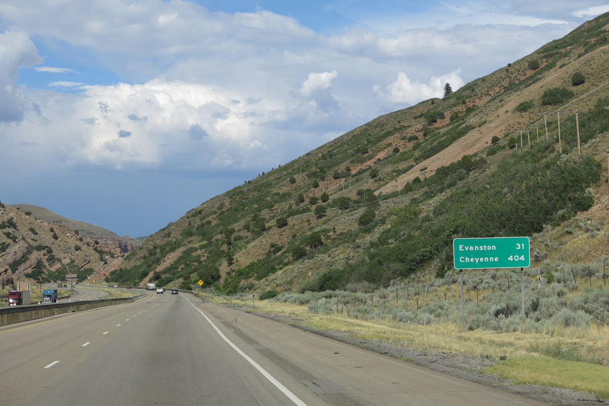
The next traveler services are located 31 miles ahead at the city of Evanston, Wyoming.
08/05/13
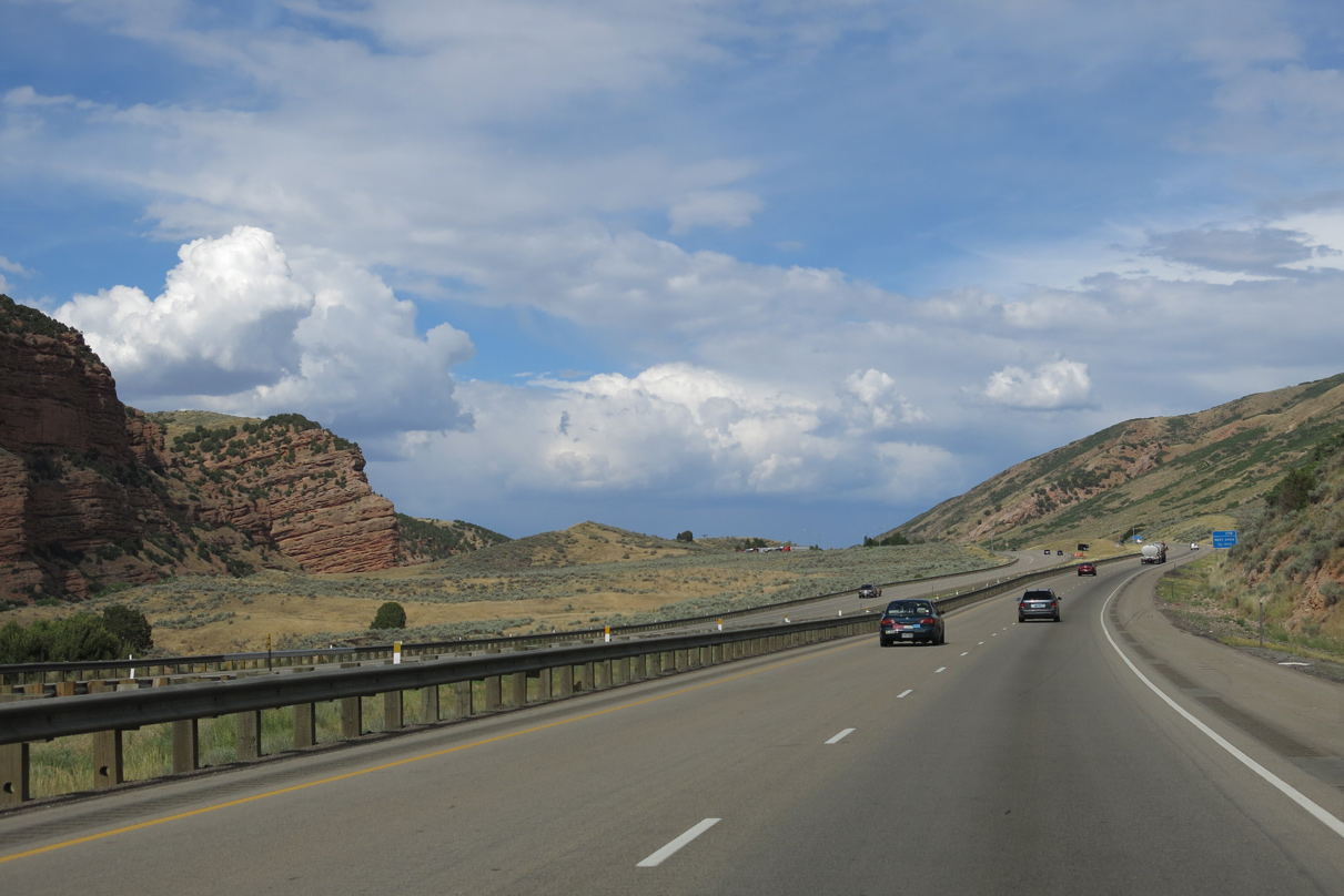
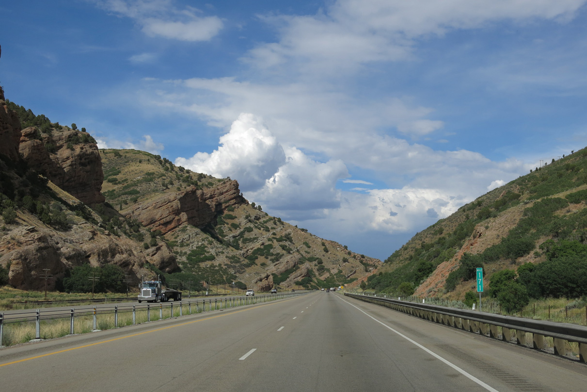
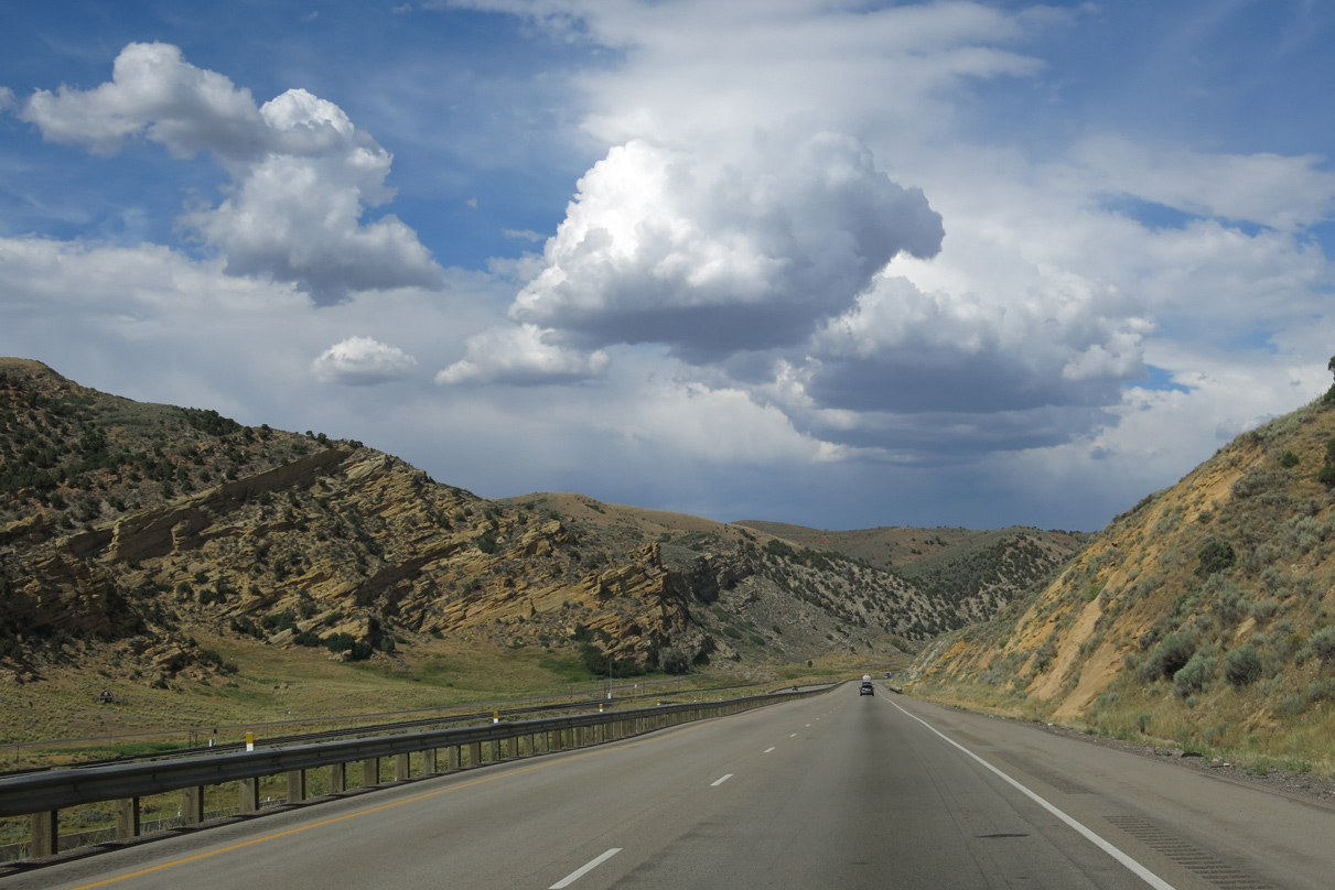
Echo Canyon narrows from Bear Hollow and Pine Canyon eastward past milepost 171.
08/05/13
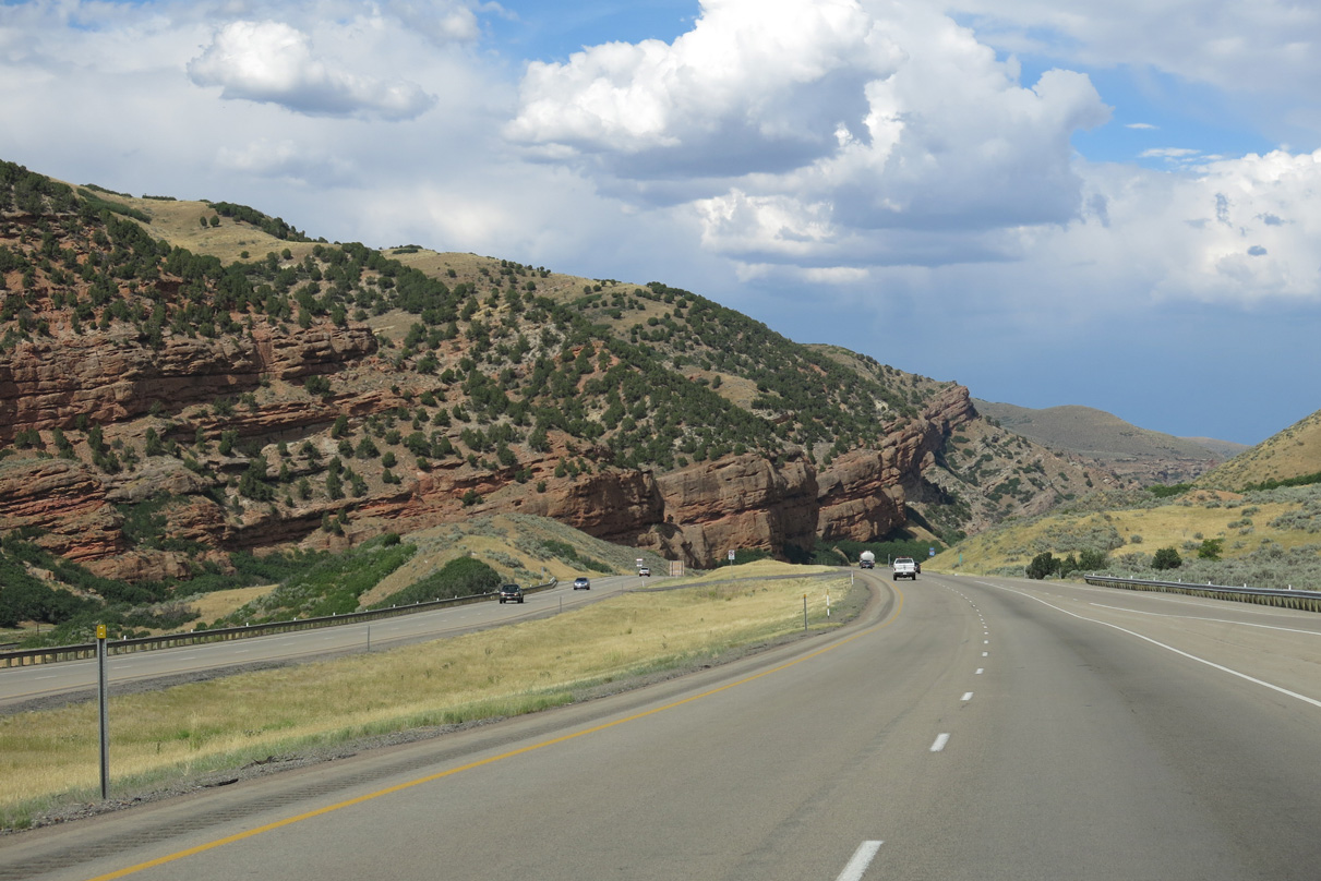
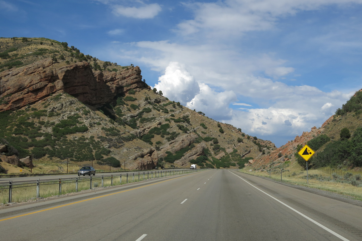
An S-curve takes I-80 east between Bull Hollow and Sawmill Canyon to the north and Little Sawmill Canyon to the south to milepost 172.
08/05/13
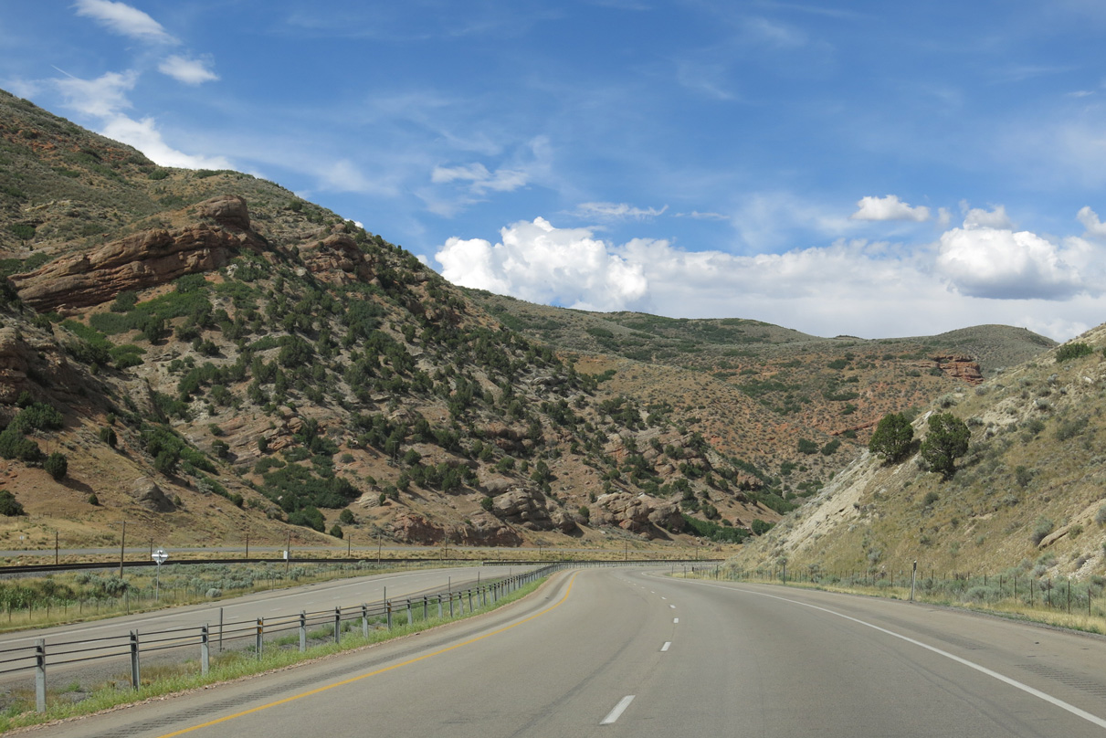
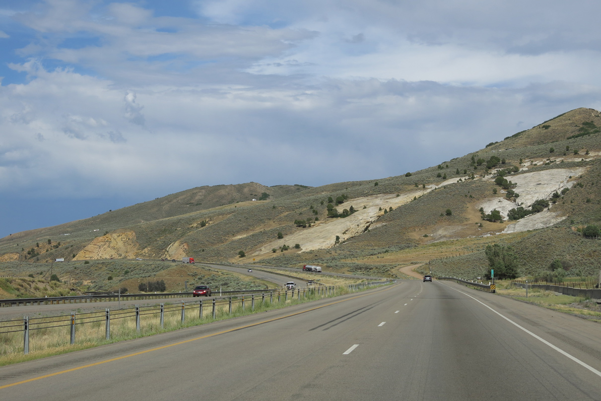
A straight away along Interstate 80 east ensues by Thirtyfive Canyon to milepost 174.
08/05/13
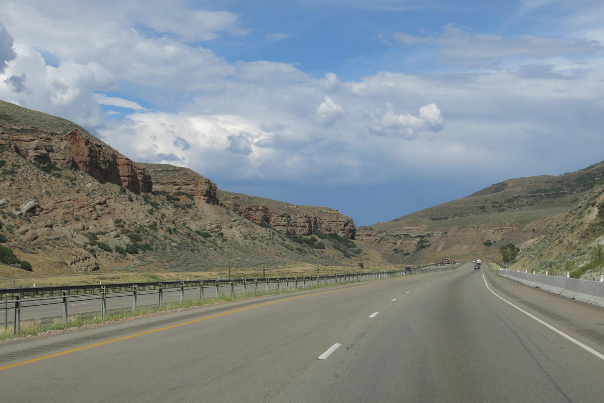
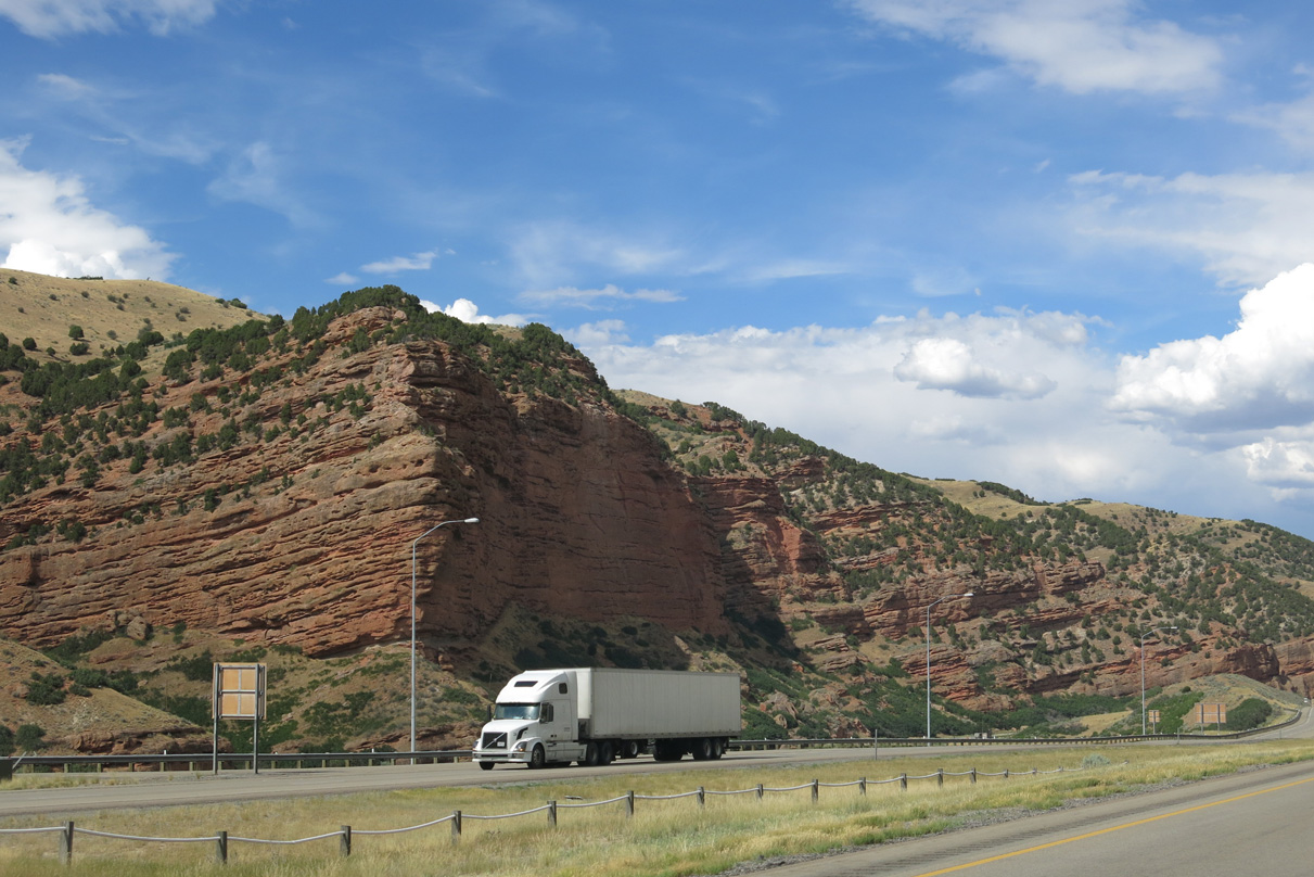
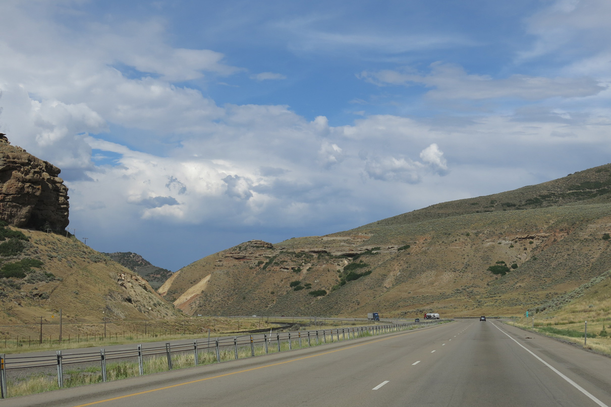
The adjacent Union Pacific Railroad and Echo Canyon Road (old U.S. 30S & 189) come into view as Echo Canyon narrows east of Heiners Creek.
08/05/13
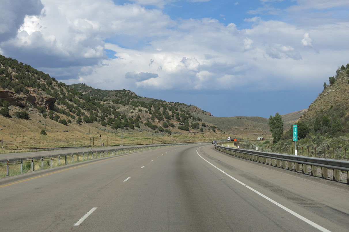
Waters in Echo Creek flow through a culvert next to Interstate 80 around milepost 175.
08/05/13
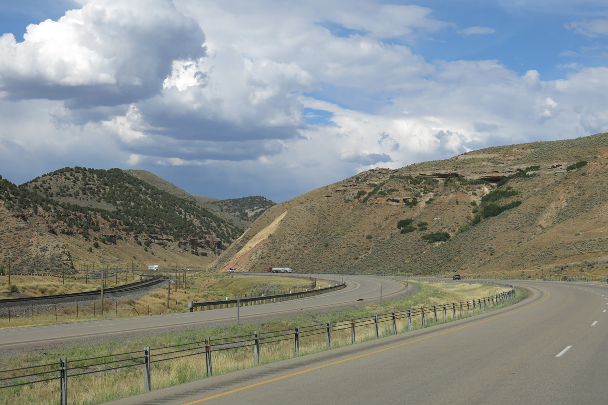
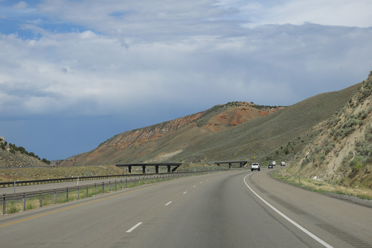
Interstate 80 eastbound passes by the railroad siding of Emory and Lord Canyon at milepost 176.
08/05/13
Interstate 80 east next approaches Stag Canyon and the merge with Echo Canyon Road.
08/05/13
A wye interchange (Exit 178 from I-80 west) joins Echo Canyon Road east with Interstate 80. U.S. 30S & 189 shifted to an alignment south of the Union Pacific Railroad line by the 1960s.
08/05/13
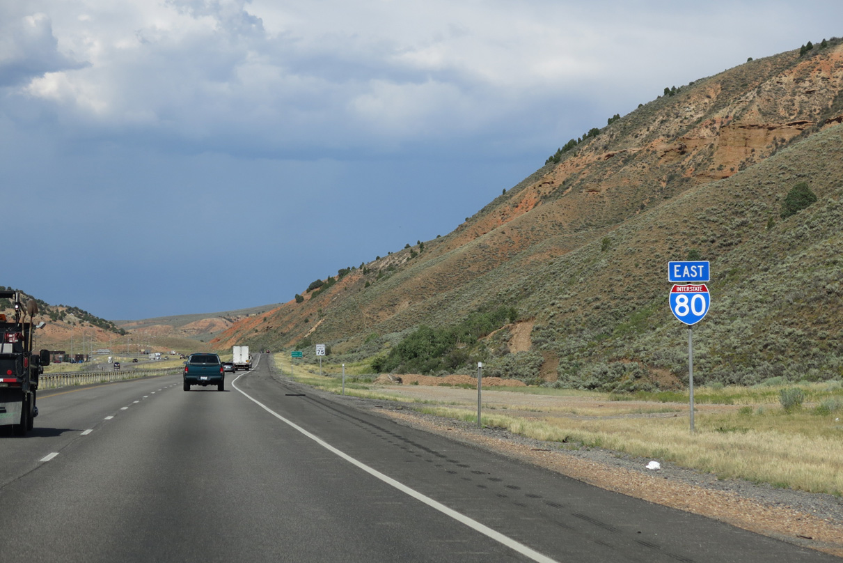
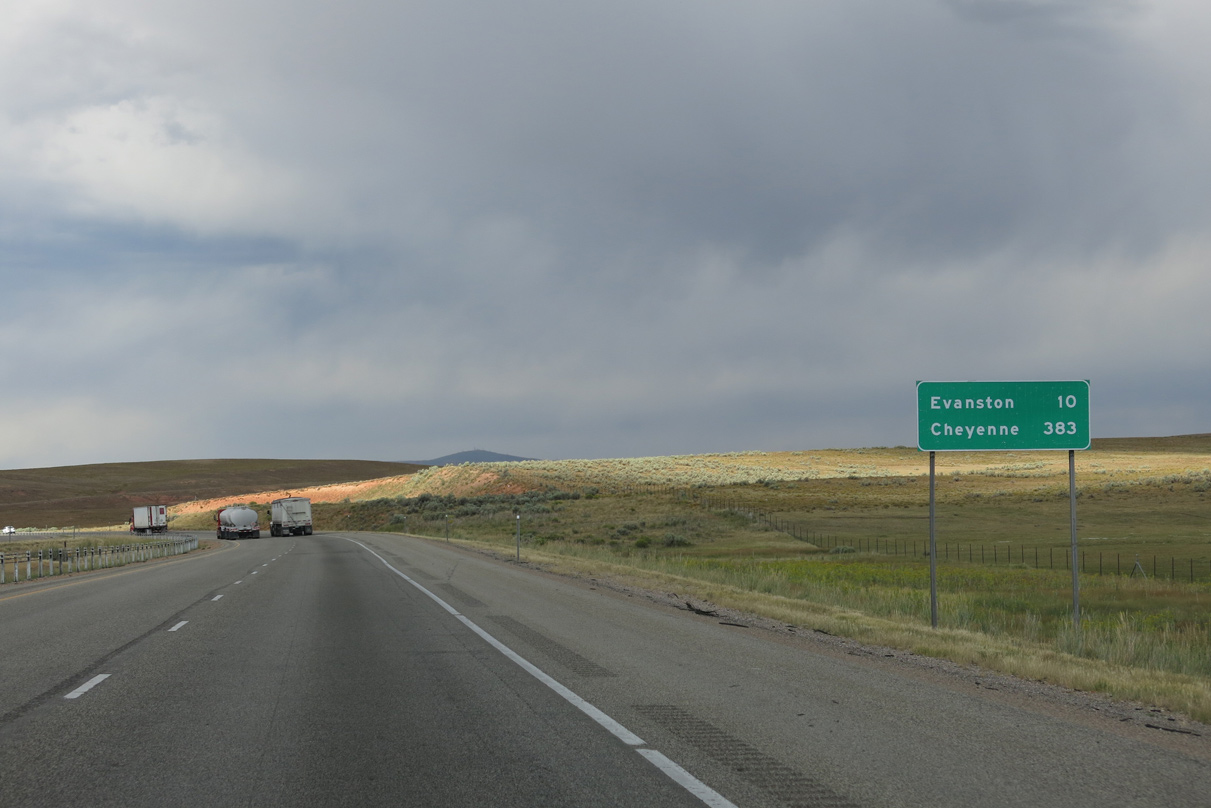
Reassurance marker for I-80 east posted after milepost 179 and Echo Canyon Road.
08/05/13
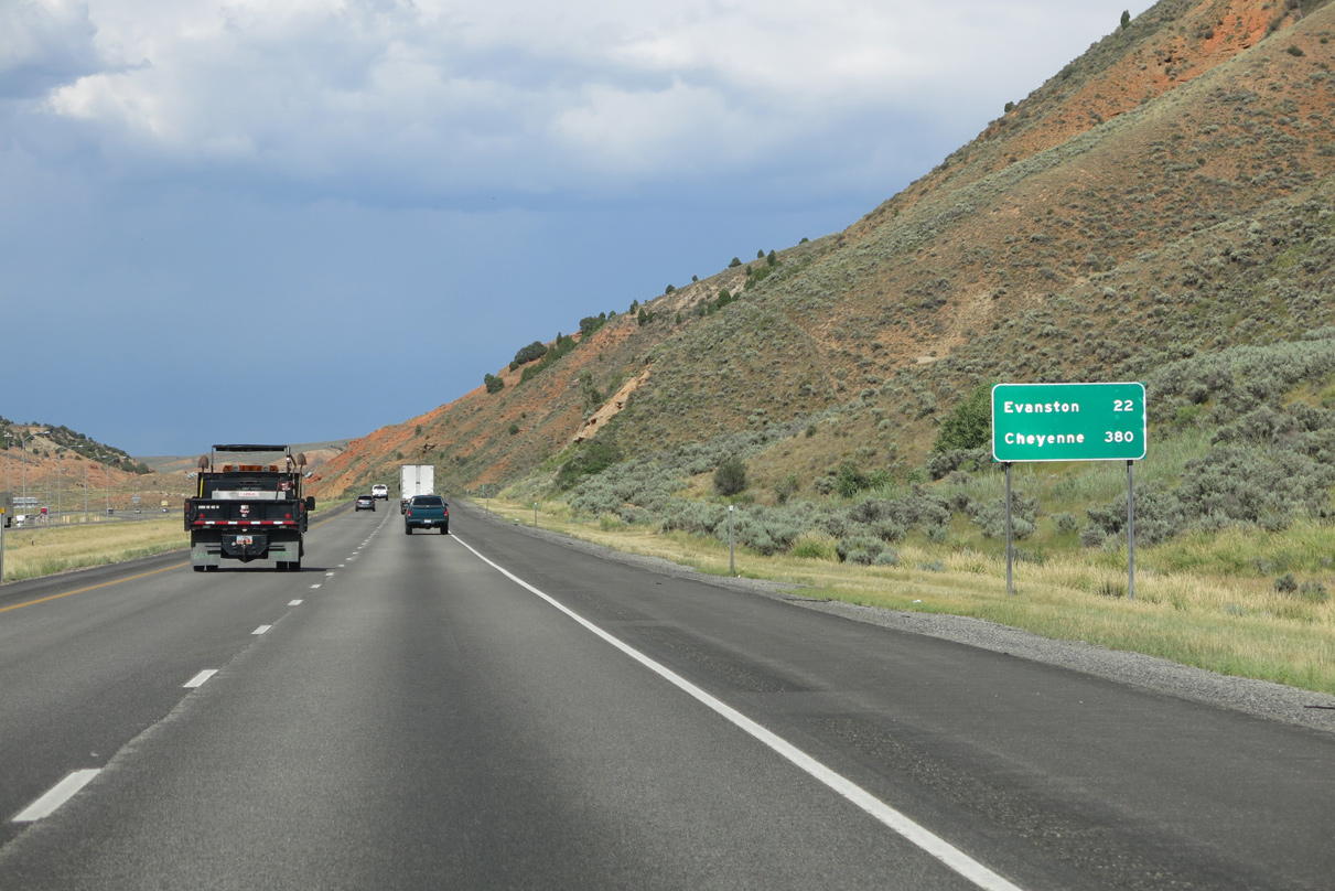
Travelers will reach Evanston, Wyoming in 22 miles and Cheyenne in 380 miles via I-80 east.
08/05/13
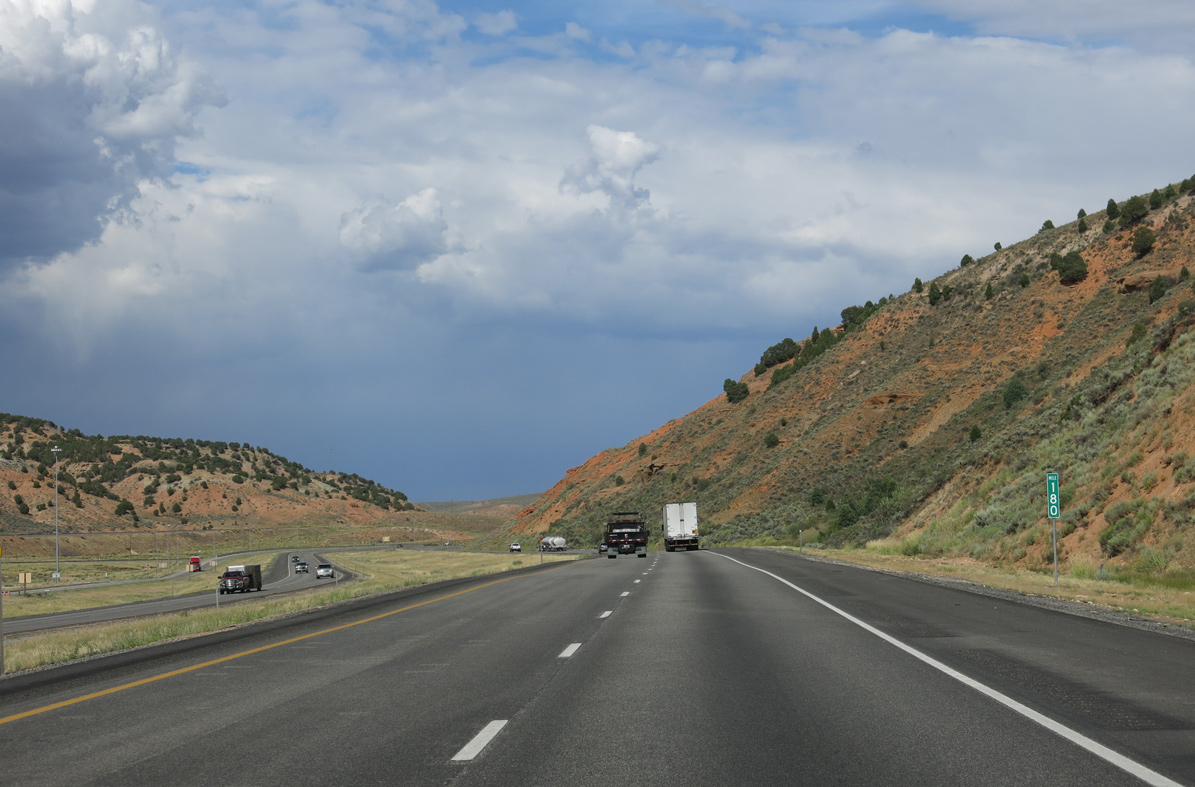
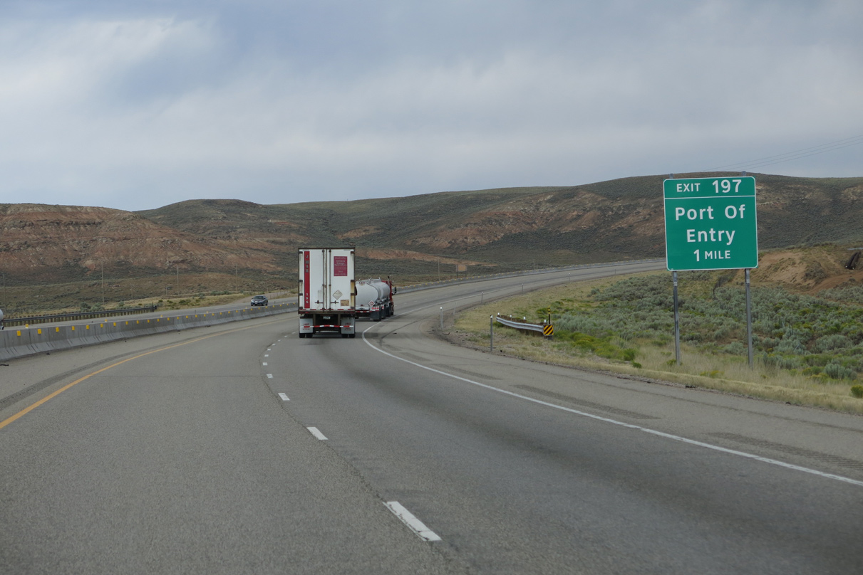
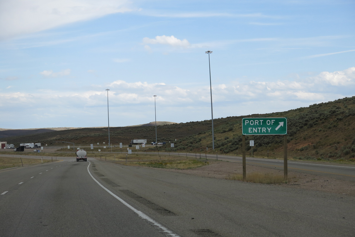
A port of entry operates along Interstate 80 westbound at milepost 180. An eastbound facility lies 16 miles ahead.
08/05/13
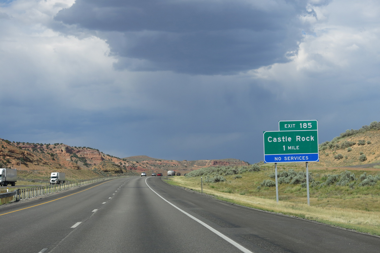
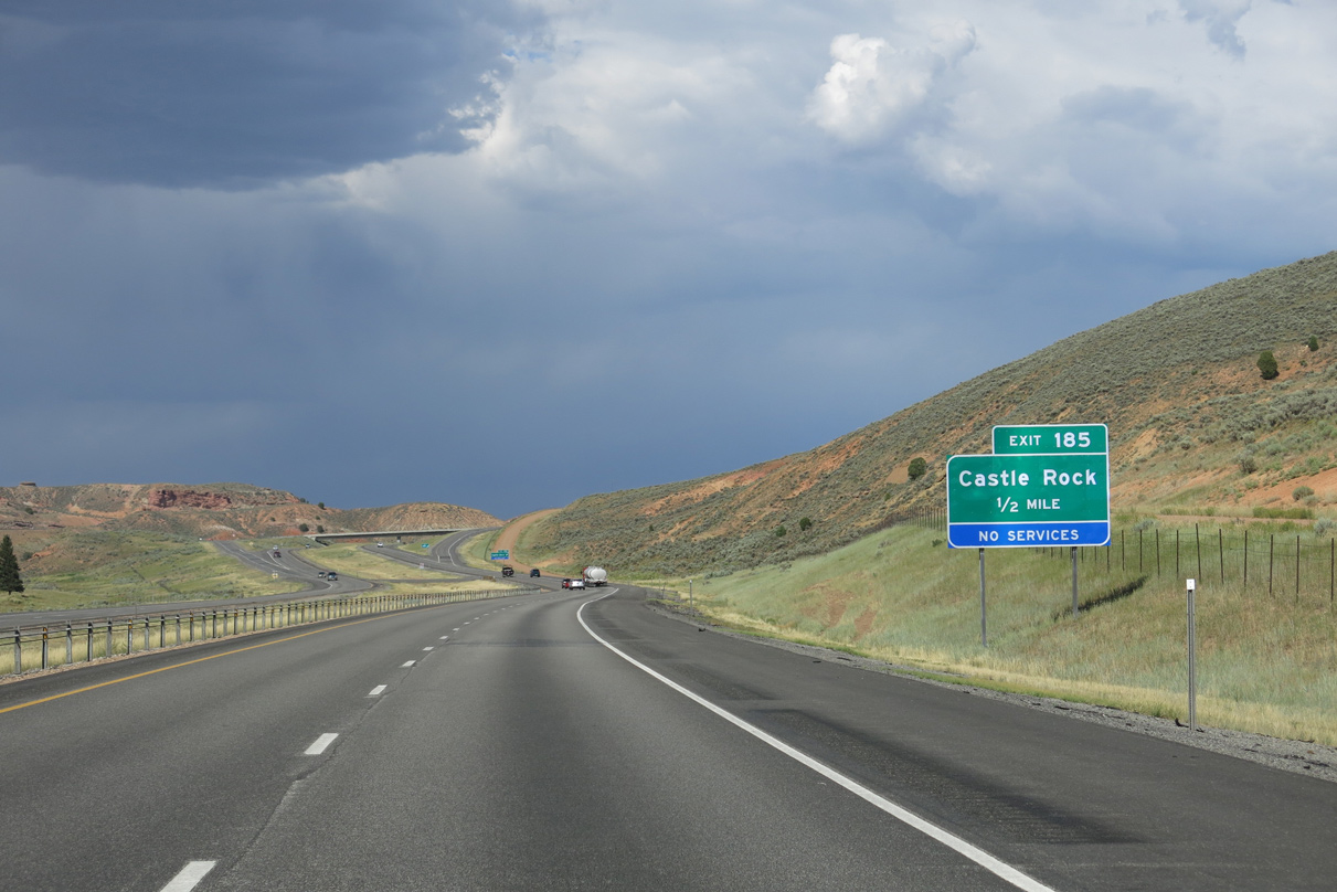
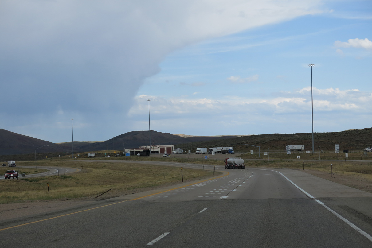
A 15.6 mile exit less stretch concludes in one mile at Castle Rock Road (Exit 185).
08/05/13
Castle Rock constitutes a UP Railroad siding along an unpaved road west of Pony Express Trail and Exit 185.
08/05/13
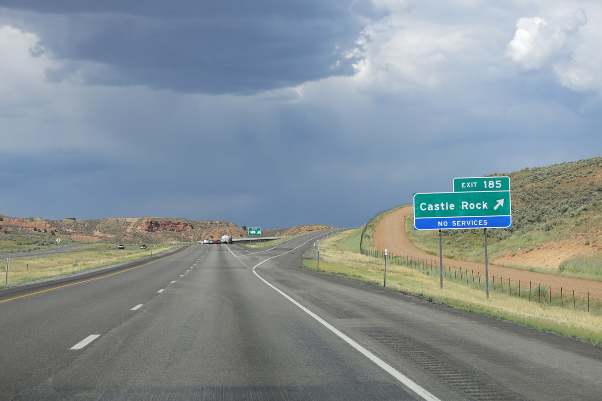
Entering the diamond interchange (Exit 185) with Castle Rock Road on Interstate 80 east. Castle Rock Road forms a south side frontage road for I-80 to a point beyond milepost 186.
08/05/13
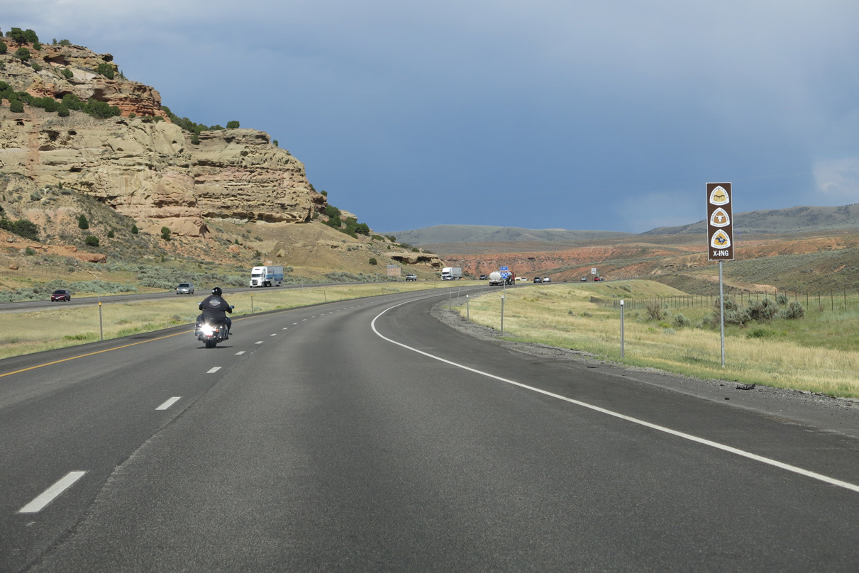
Trailblazers reflect the historic crossing of the California Trail, Mormon Pioneer and Pony Express Historic Trails at Exit 185.
08/05/13
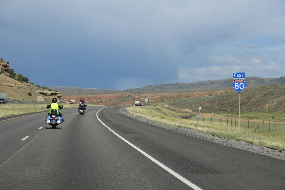
Interstate 80 turns more northerly for the rest of the drive to the Wyoming state line.
08/05/13
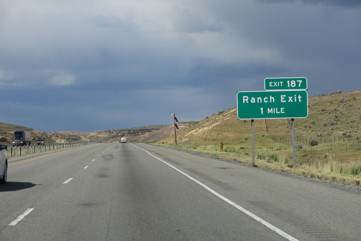
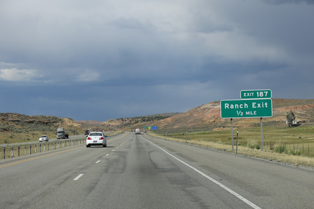
Motorists next meet a ranch exit along Interstate 80 east in one mile.
08/05/13
The forthcoming ranch exit provides no services as it connects with an unpaved road west and east of Interstate 80.
08/05/13
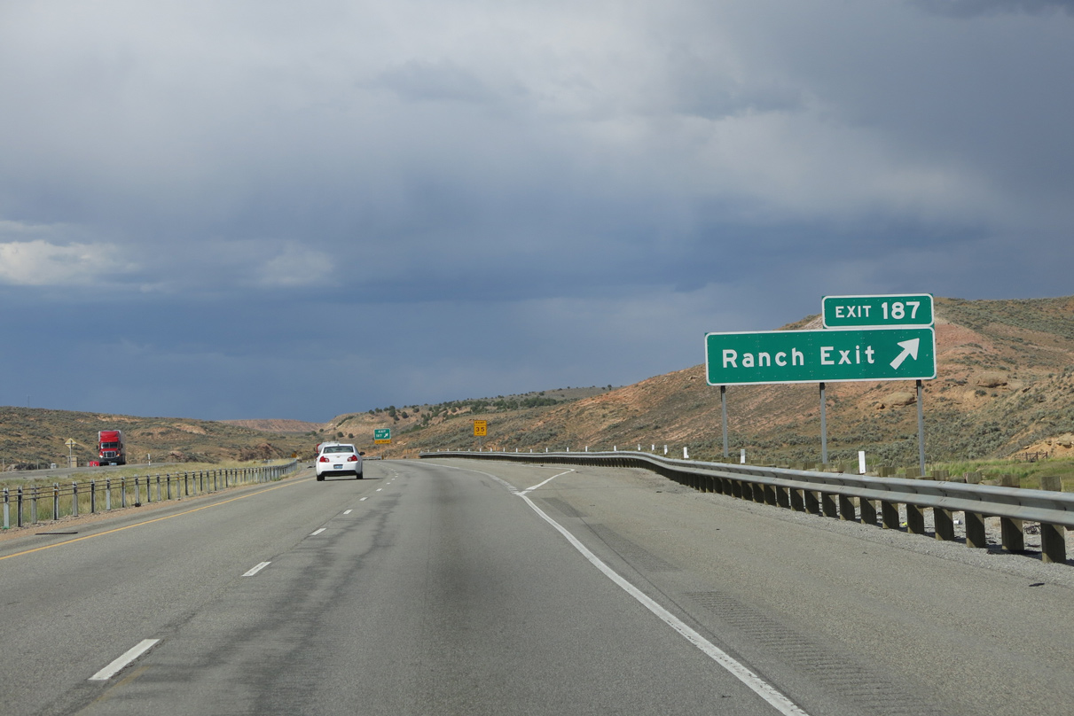
Interstate 80 east reaches the diamond interchange at Exit 187 west of Cahe Cave Creek.
08/05/13
Advancing north from Exit 187, Interstate 80 passes by Tunnel Hollow and Slaughterhouse Creek.
08/05/13
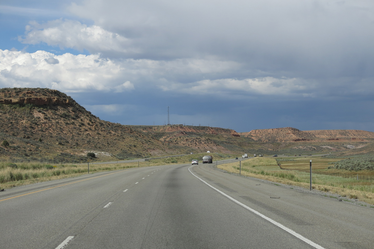
Interstate 80 sees a roadway split between mileposts 190 and 191.
08/05/13
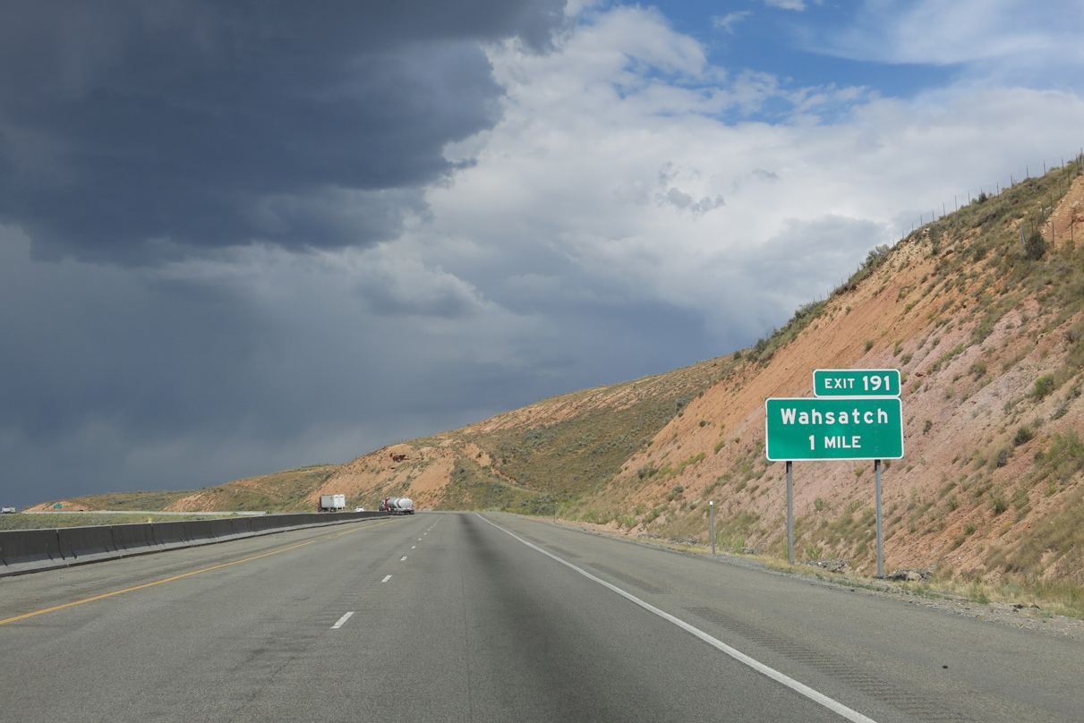
Wahsatch Road ties into Interstate 80 at Exit 191 in one mile.
08/05/13
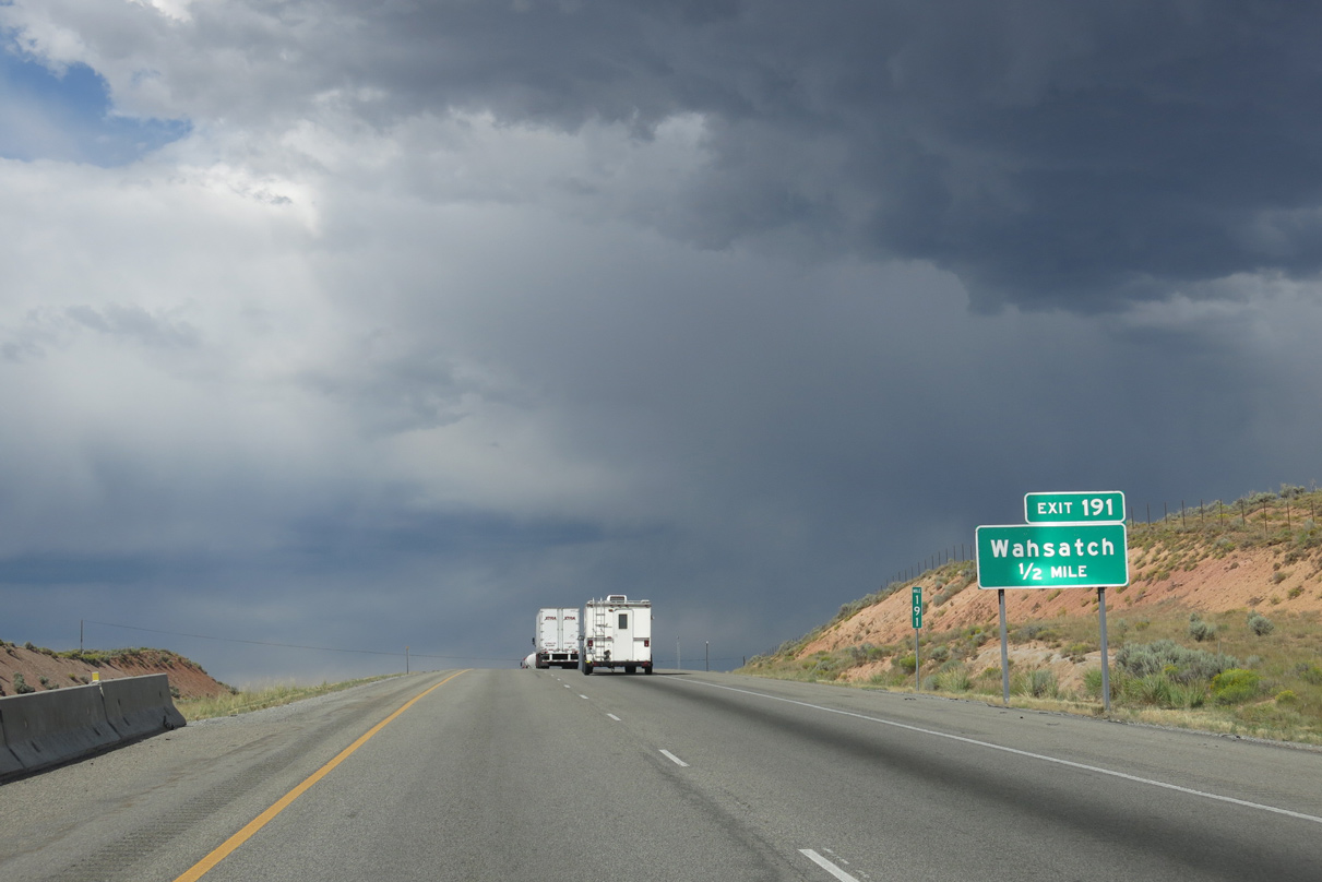
Wahsatch is a UP Railroad siding situated just west of Exit 191 along Wahsatch Frontage Road.
08/05/13
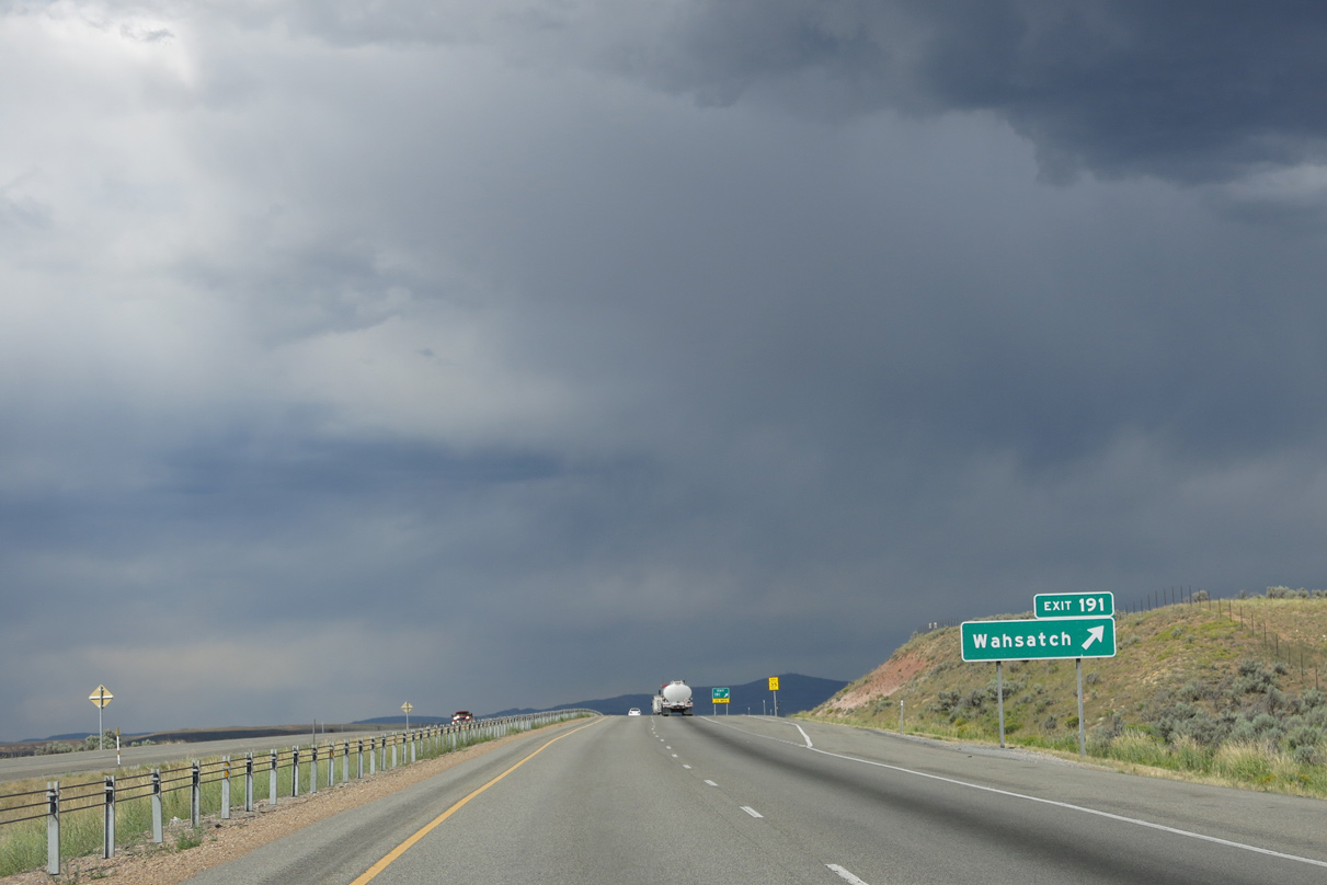
Eastbound Interstate 80 at the diamond interchange (Exit 191) with Wahsatch Road east. Wahsatch Road wanders east to Yellow Creek Road (CR 191) in Wyoming.
08/05/13
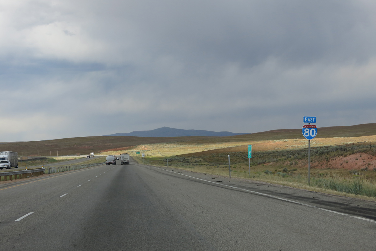
The last confirming shield for Interstate 80 east in Wyoming.
08/05/13
There are no additional exits on the ten mile drive taking Interstate 80 northeast into Evanston, Wyoming. Cheyenne lies 373 miles further in southeastern reaches of the Equality State.
08/05/13
Interstate 80 parallels the Rich County Line to the Wyoming state line, where a port of entry operates. The freeway never crosses the county boundary.
08/05/13
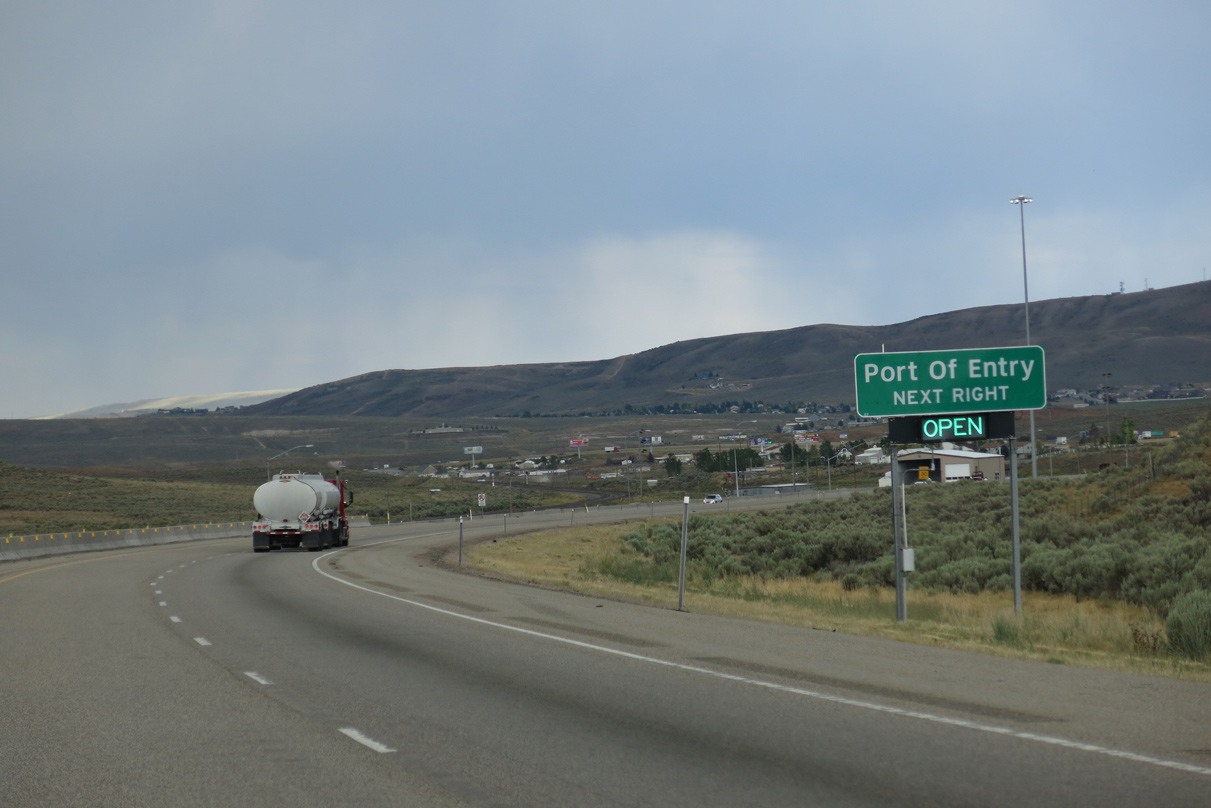
Homes and businesses appear in the distance as motorists near the port of entry and Wyoming state line. Wahsatch Frontage Road accompanies I-80 east to Uinta County, Wyoming as the old alignment of U.S. 30S & 189.
08/05/13
Curving east, Interstate 80 crosses the state line just beyond the gore point for the truck weigh station.
08/05/13
A pavement change concludes the 196.68 mile section of Interstate 80 across the Beehive State. Evanston is just three miles ahead.
08/05/13

Photo Credits:
- Andy Field: 08/05/13
Page Updated Monday August 01, 2016.