
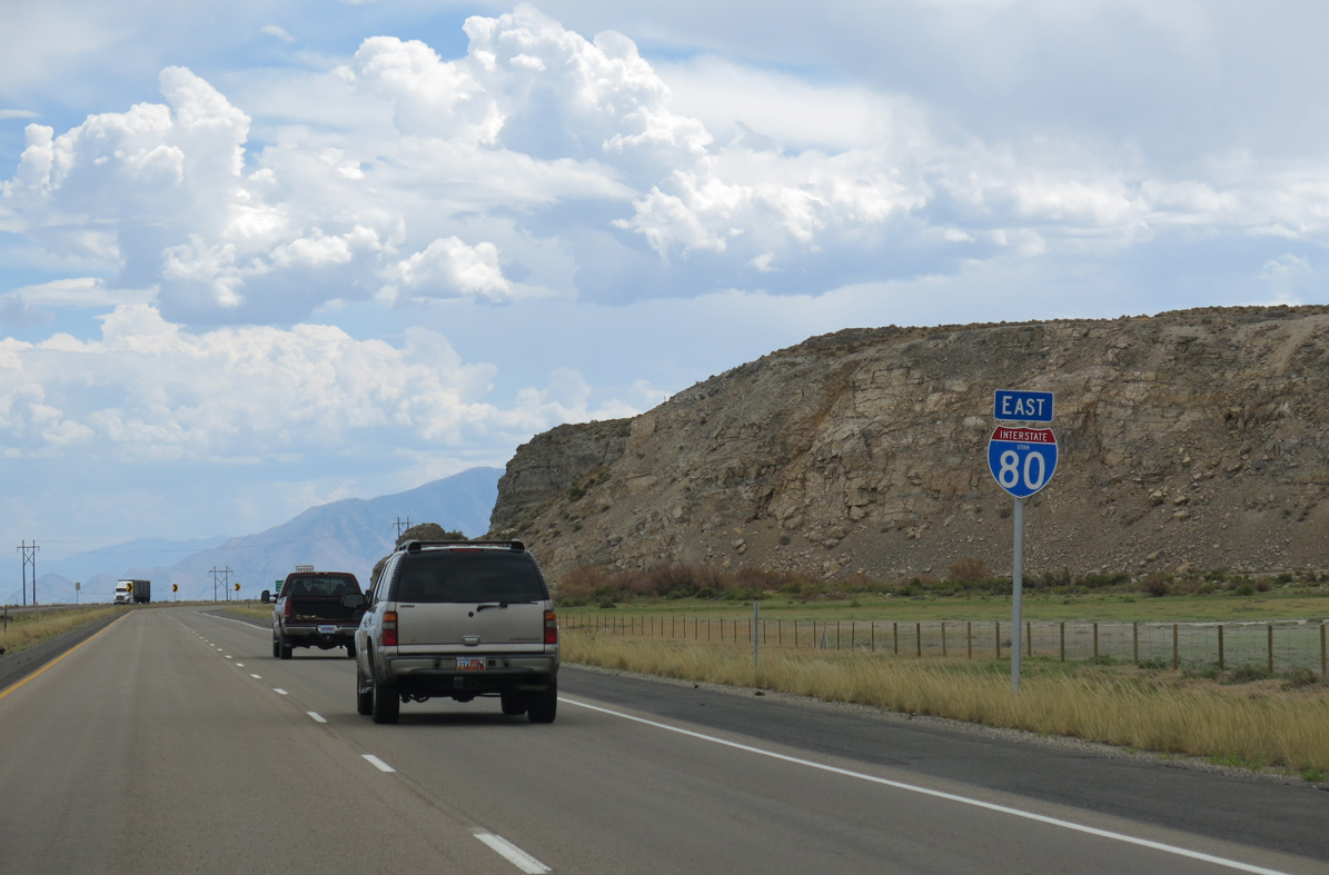
Interstate 80 East - Delle to Lake Point Junction
 East
East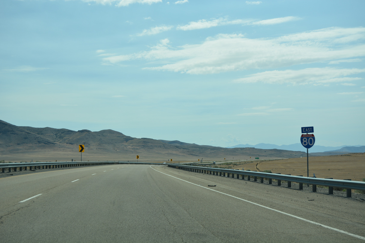
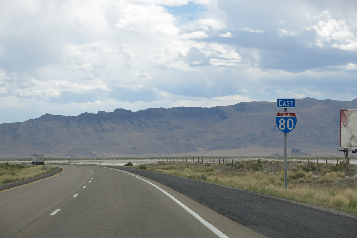
Interstate 80 angles southeast between the Cedar and Lakeside Mountains into Skull Valley.
07/03/16
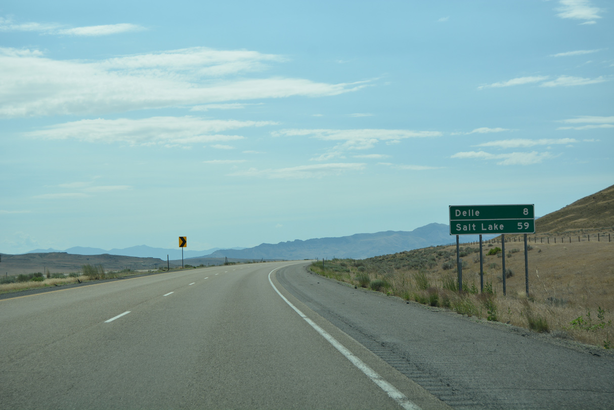
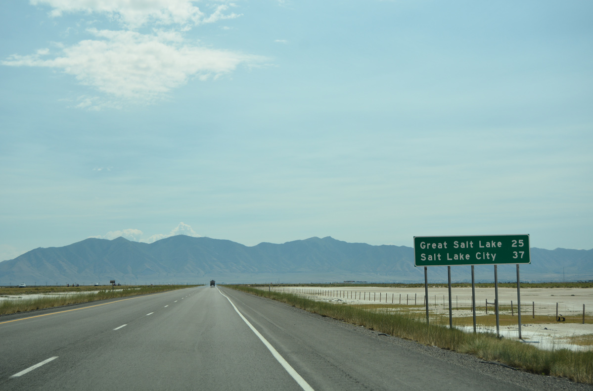
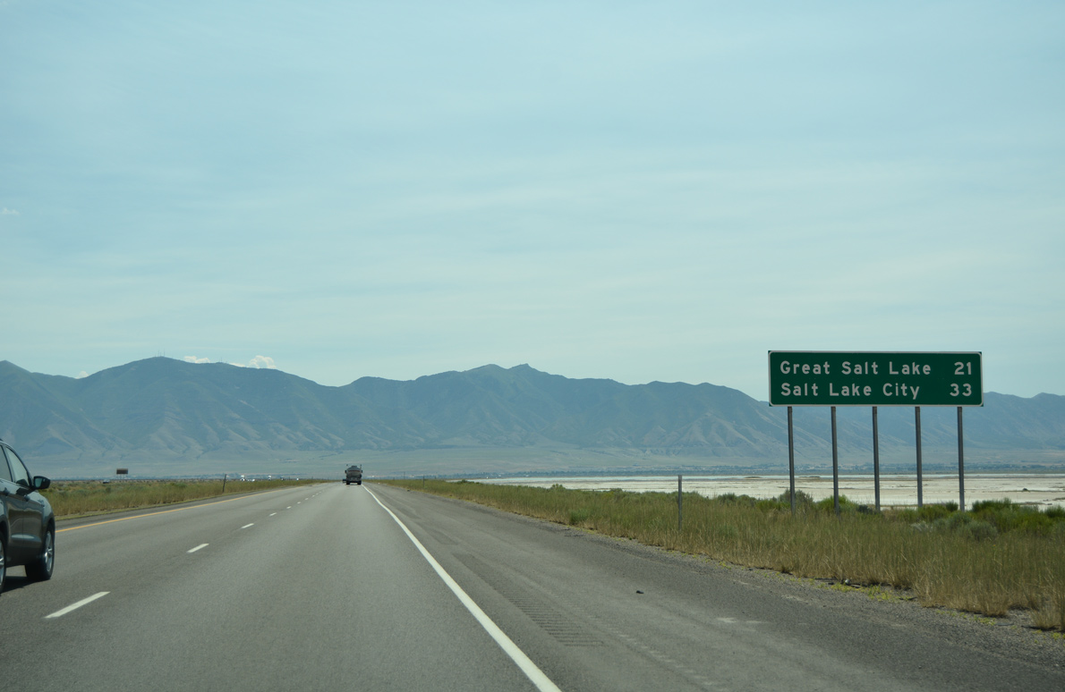
The original alignment of U.S. 40 parallels the south side of I-80 as an unpaved road to the settlement of Delle in eight miles. Salt Lake City is now 59 miles to the east.
07/03/16
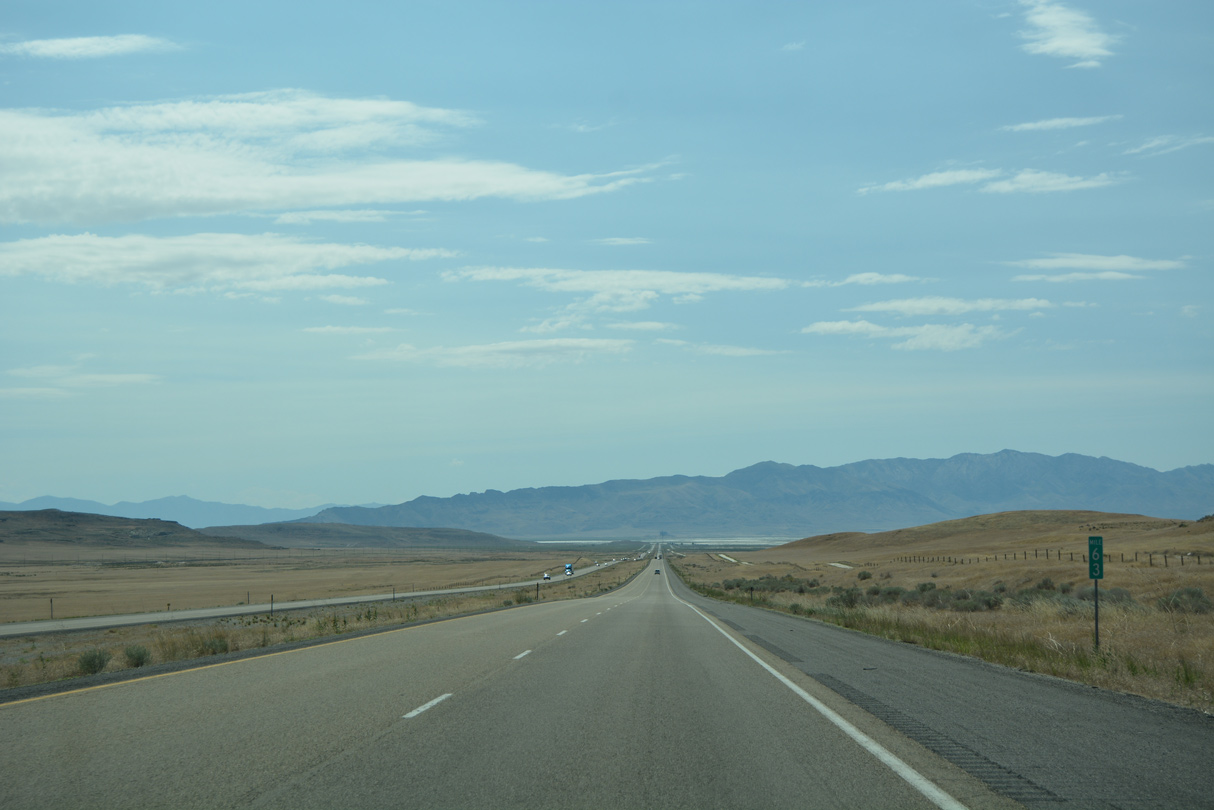
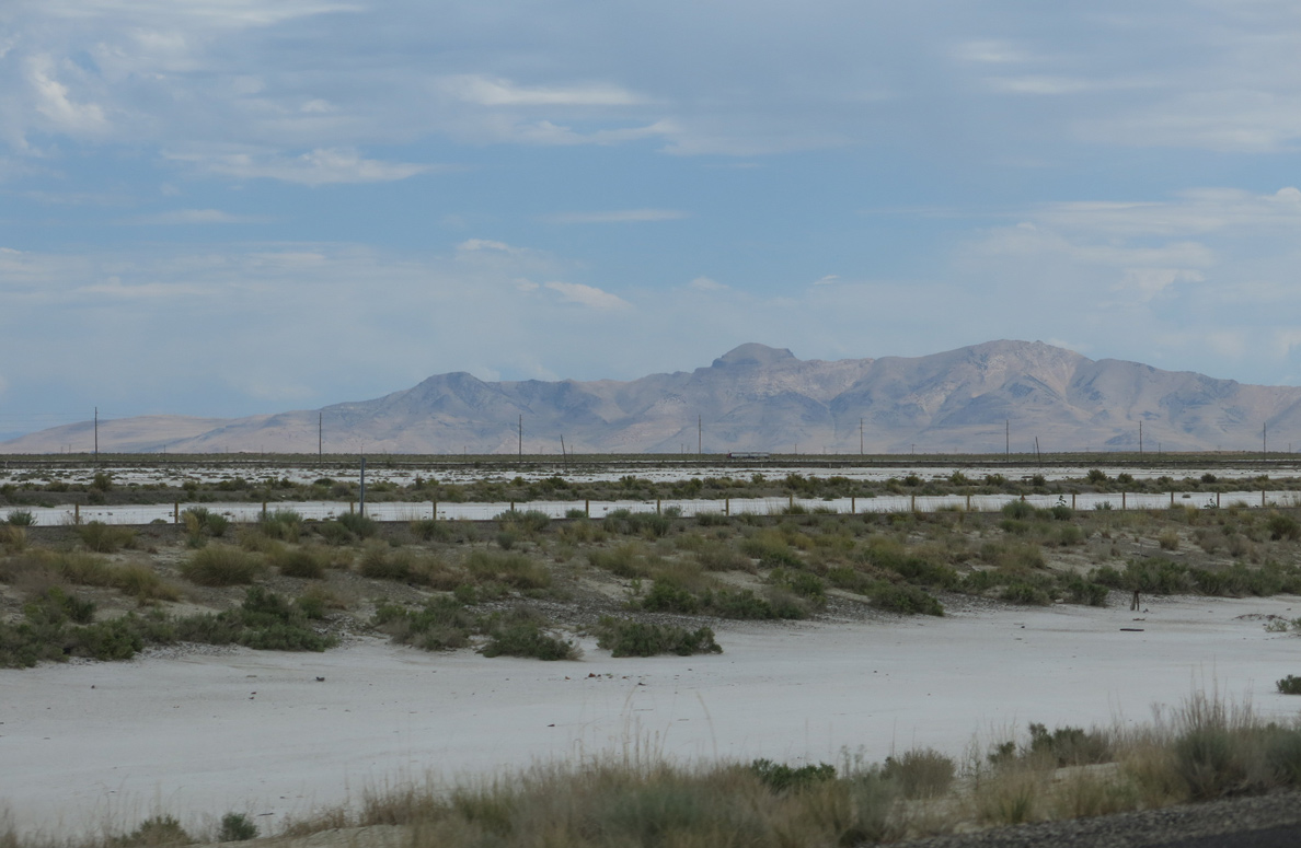
Passing by milepost 63, the mud flats of Skull Valley appear in the distance ahead of the Stansbury Mountains.
07/03/16

The Stansbury Mountains separate Skull Valley from Tooele Valley south of Great Salt Lake. Portions of the mountains are located within Deseret Peak Wilderness area and Wasatch National Forest.
07/03/16
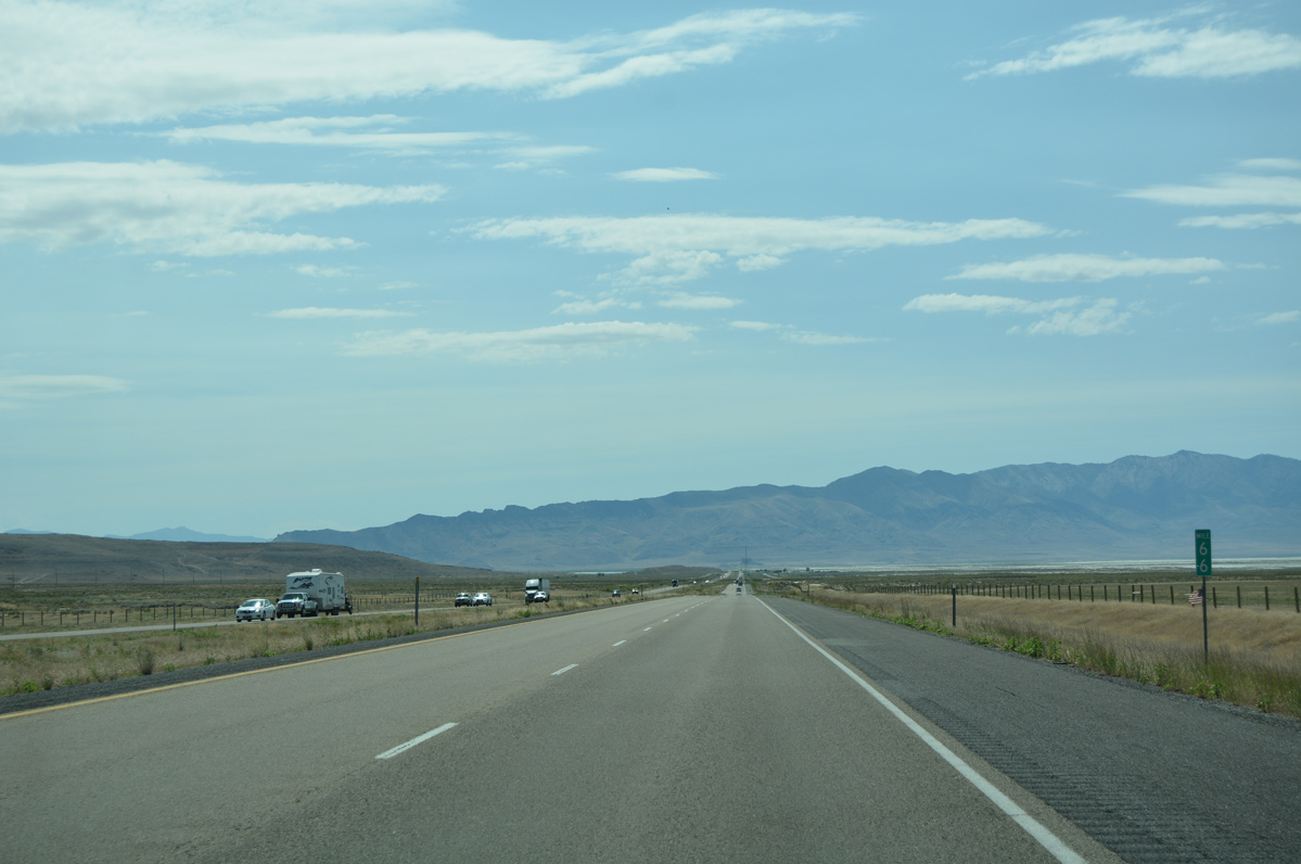
Four miles ahead of Delle on Interstate 80 east. The Lakeside Mountain foothills rise just to the north on this stretch.
07/03/16
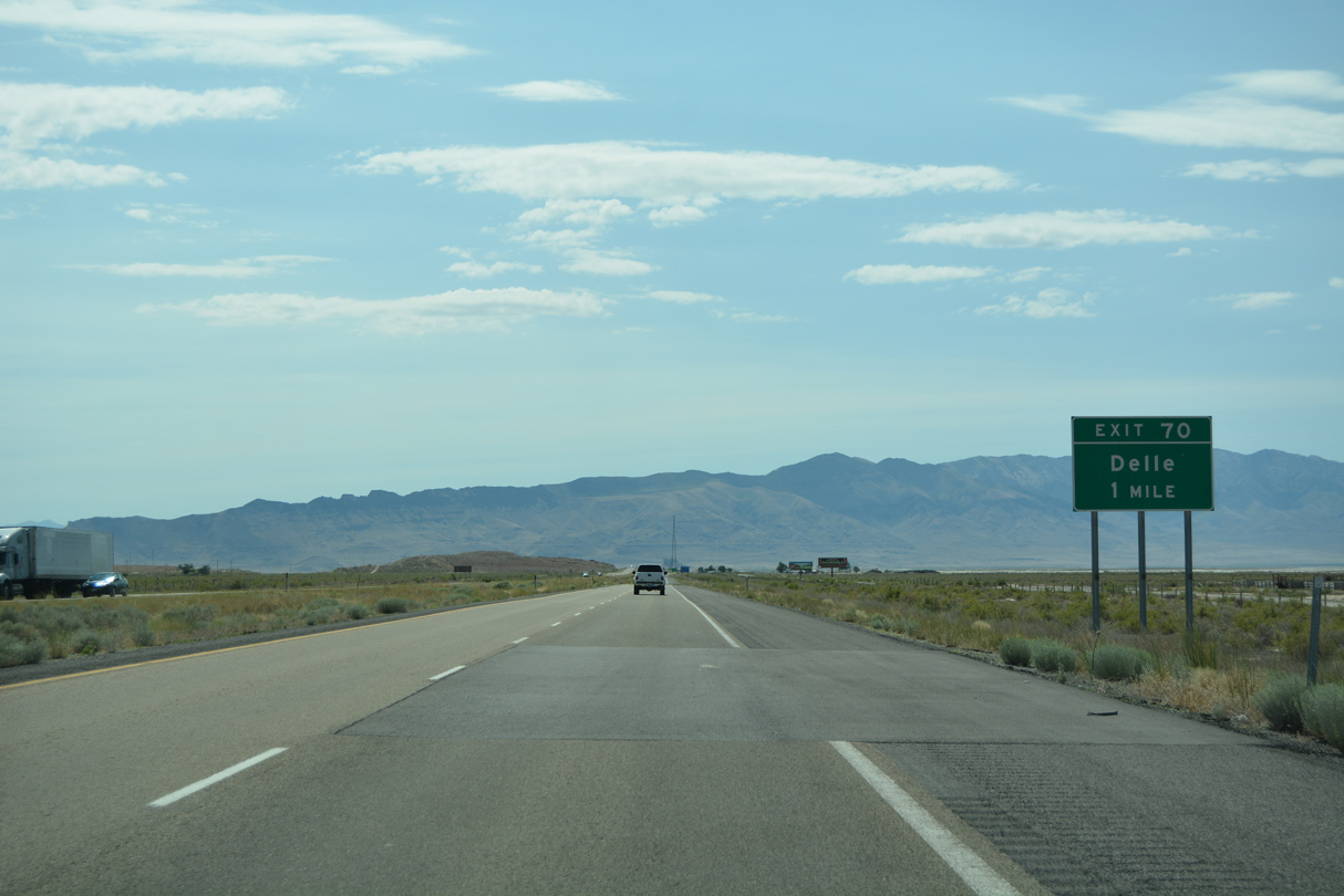
A diamond interchange (Exit 70) connects I-80 with Delle Road in one mile.
07/03/16
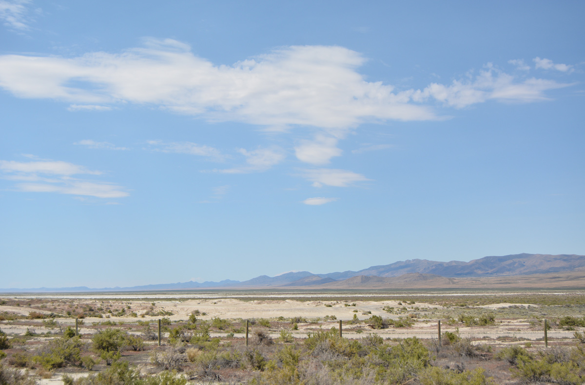
Southerly view of Skull Valley and the distant Cedar Mountain Wilderness area from I-80 at Delle.
07/03/16
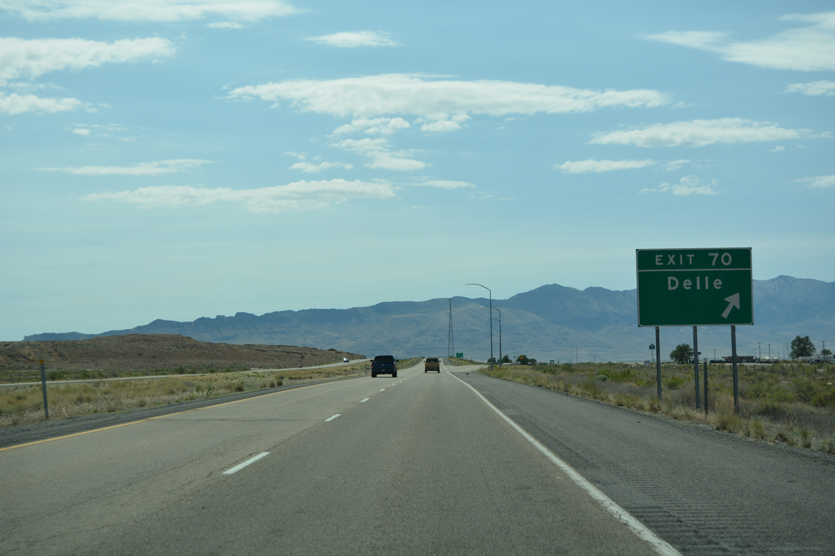
Exit 70 departs Interstate 80 east for Delle Road, which links the freeway with the I-80 Frontage Road on the north side and Delle Tower Road, a local road to a cell phone tower, to the south.
07/03/16
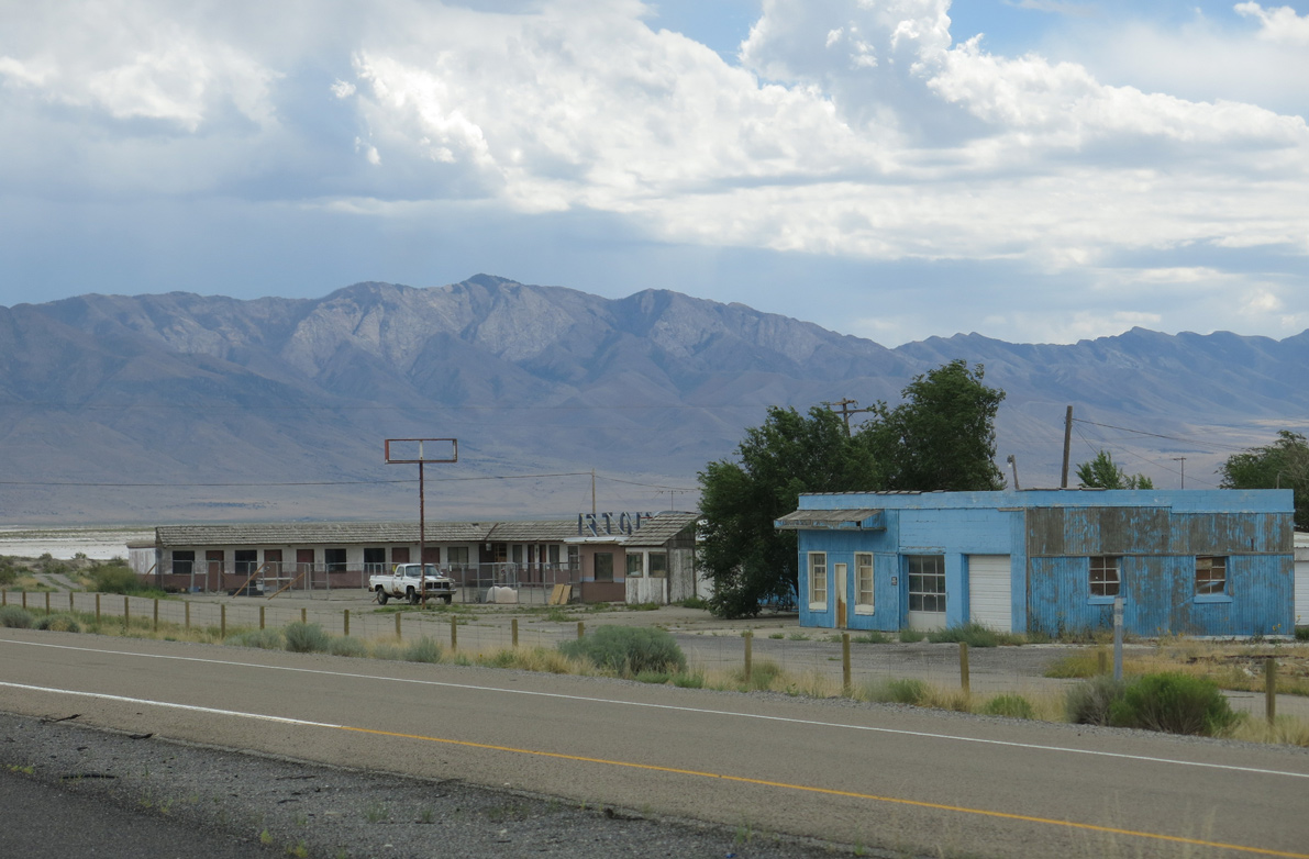
Delle is home to a gas station just south of Exit 70. An abandoned motel and cafe are located just to the east along Delle Road.
08/05/13
Interstate 80 kinks eastward from Delle to Rowley Junction.
08/05/13
Salt Mountain appears along the western periphery of the Stansbury Mountains on the east side of Skull Valley.
08/05/13
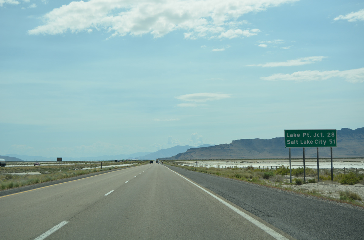
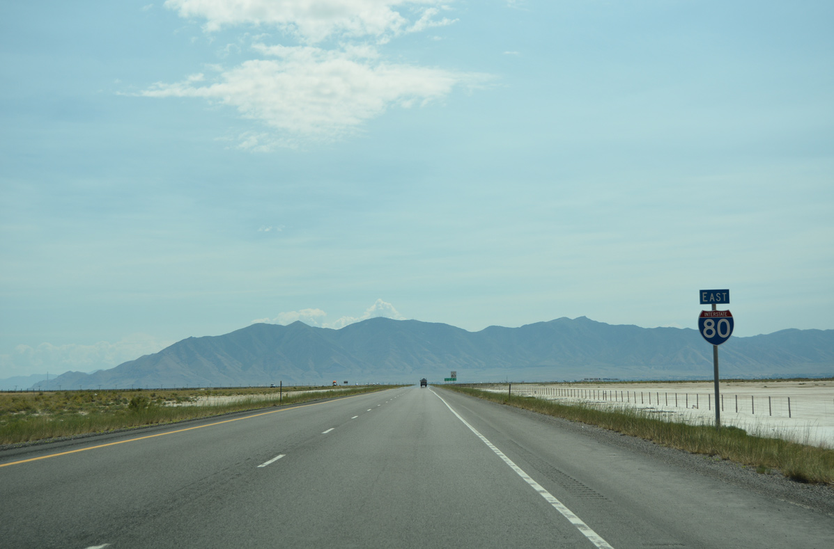
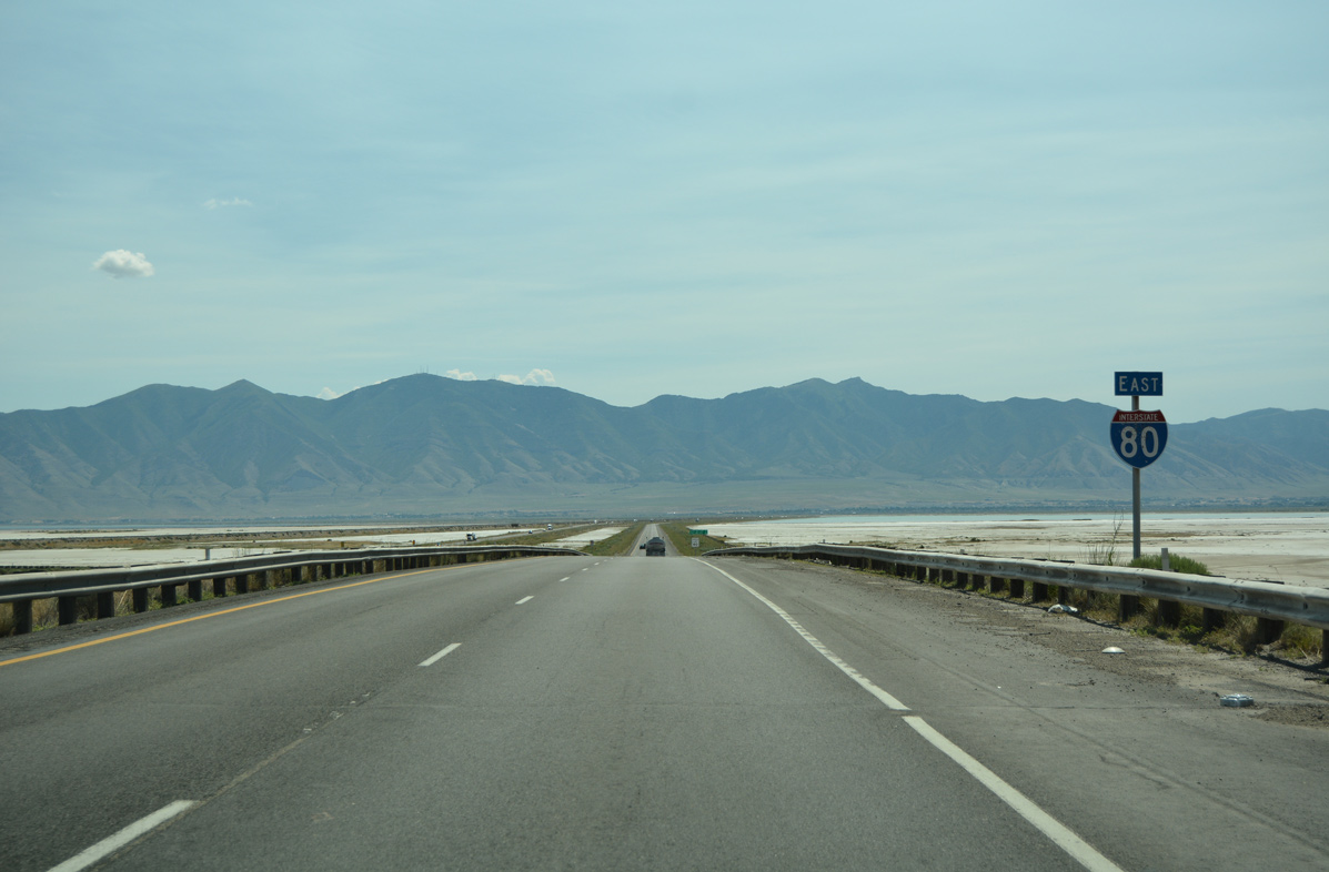
Travelers reach Lake Point Junction, where Interstate 80 splits with SR 201 ahead of Salt Lake Valley, in 28 miles.
07/03/16
The distant Castle Rock rises from the center of Stansbury Island in this scene beyond the adjacent I-80 Frontage Road and UP Railroad line.
08/05/13
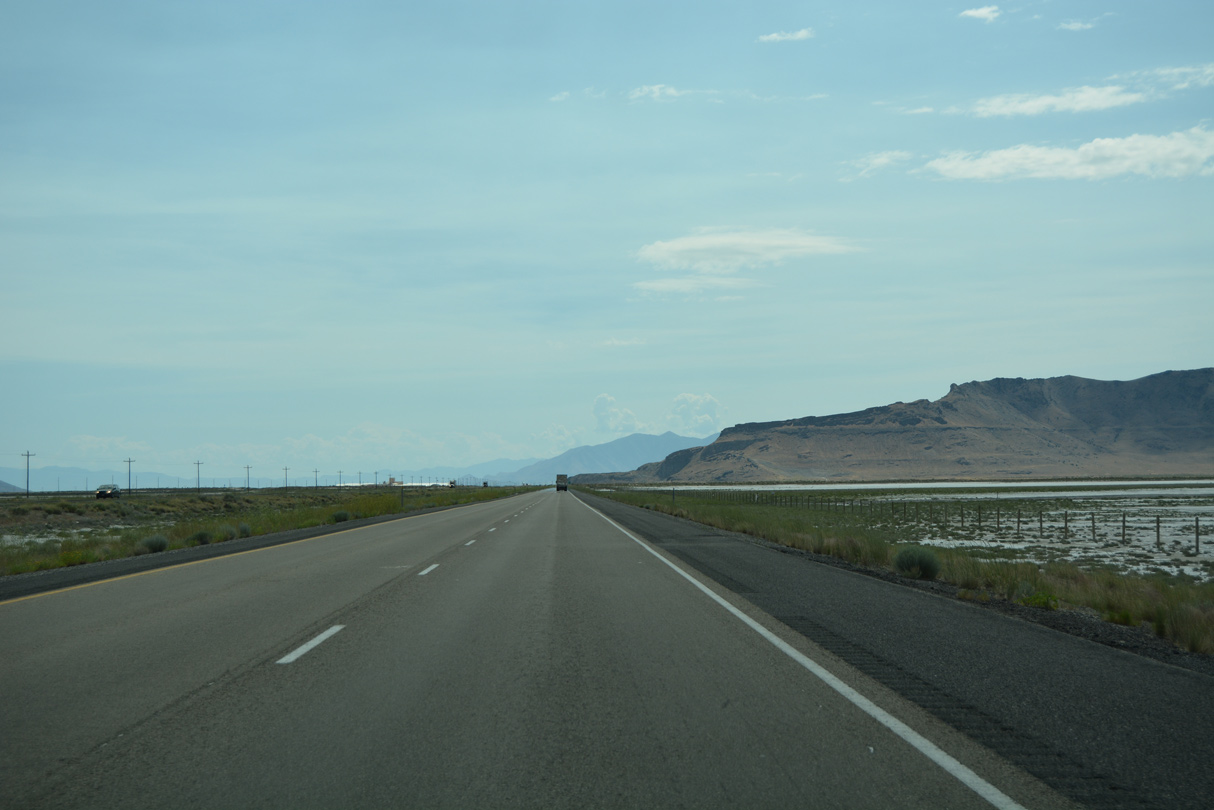
Interstate 80 runs between the northern tip of the Stansbury Mountains and the Timpie Springs Waterfowl Management Area after forthcoming Exit 77.
07/03/16
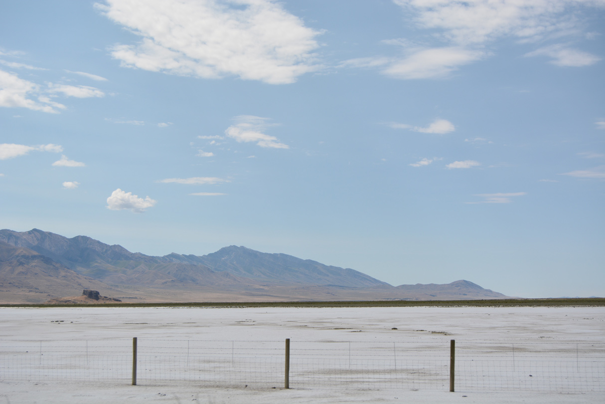
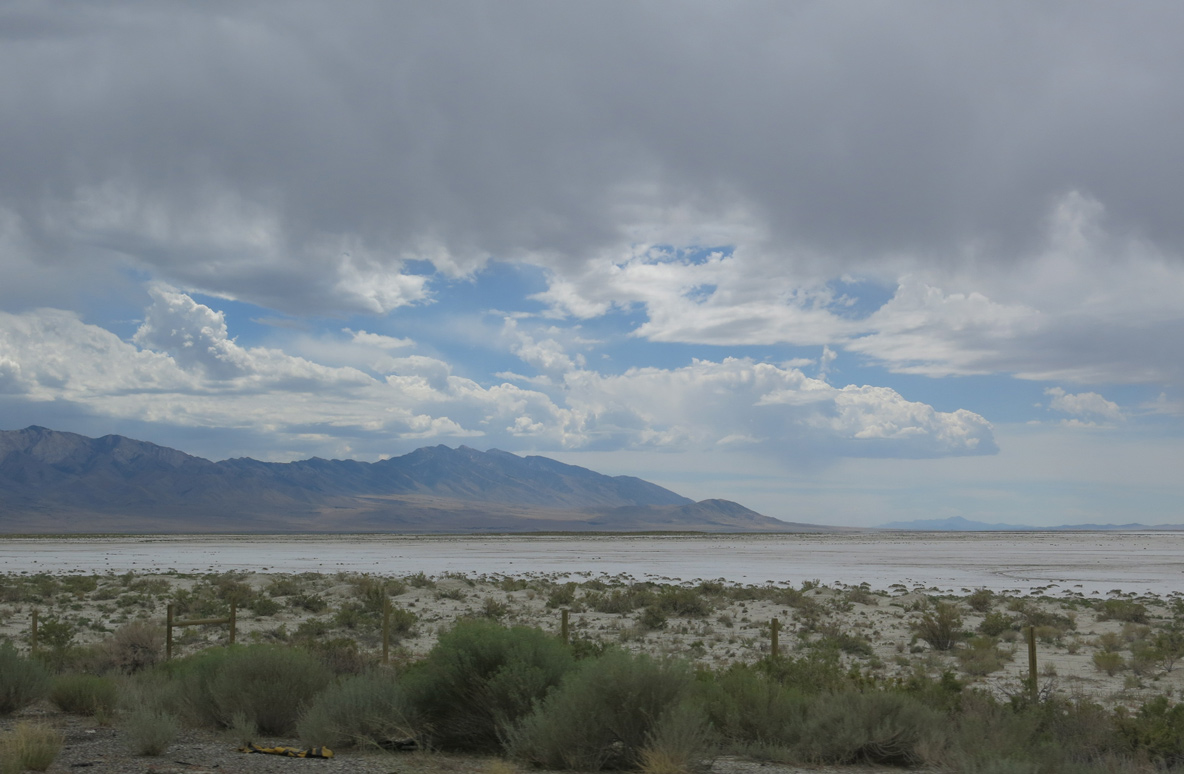
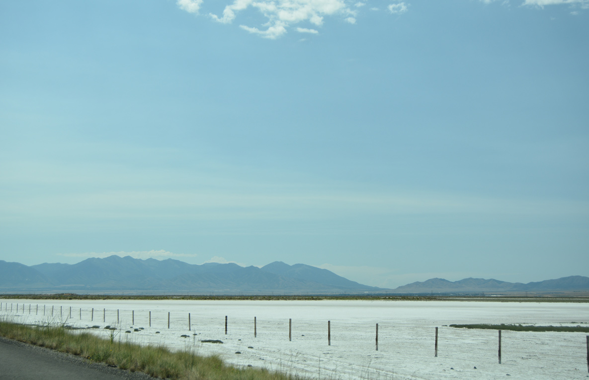
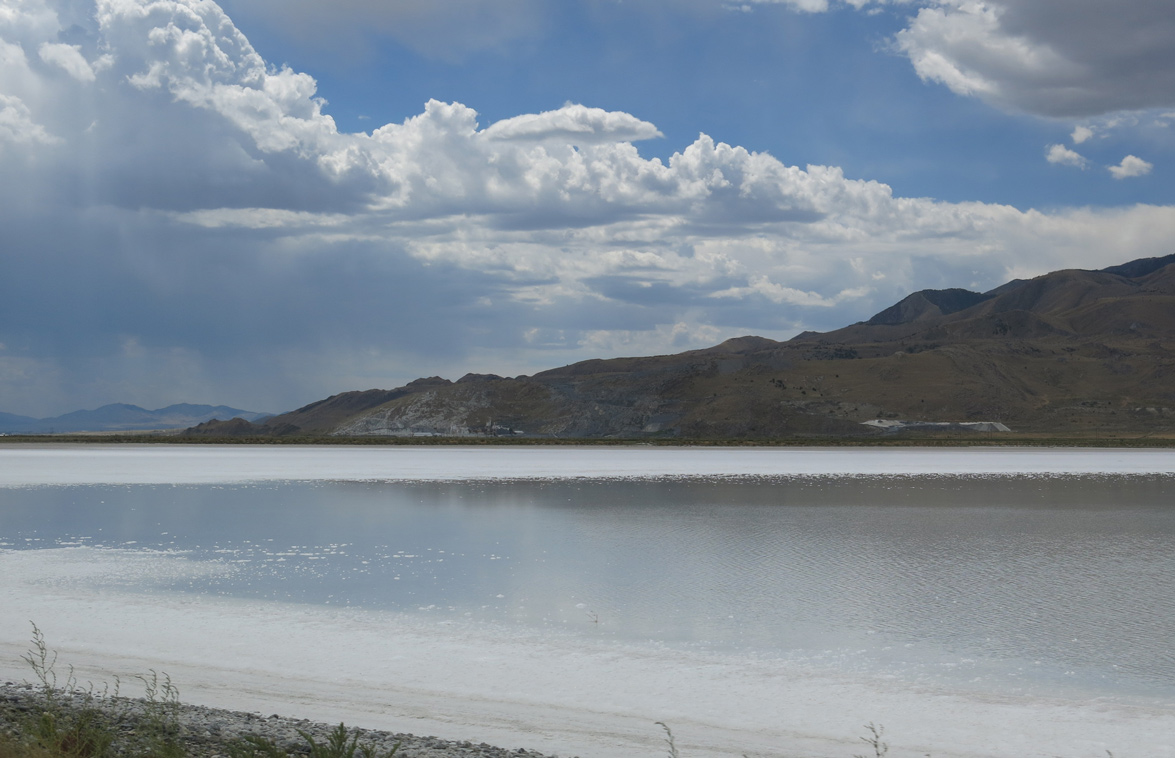
During a long term rainy period, standing water may cover the salt flats of Skull Valley beside Interstate 80.
07/03/16
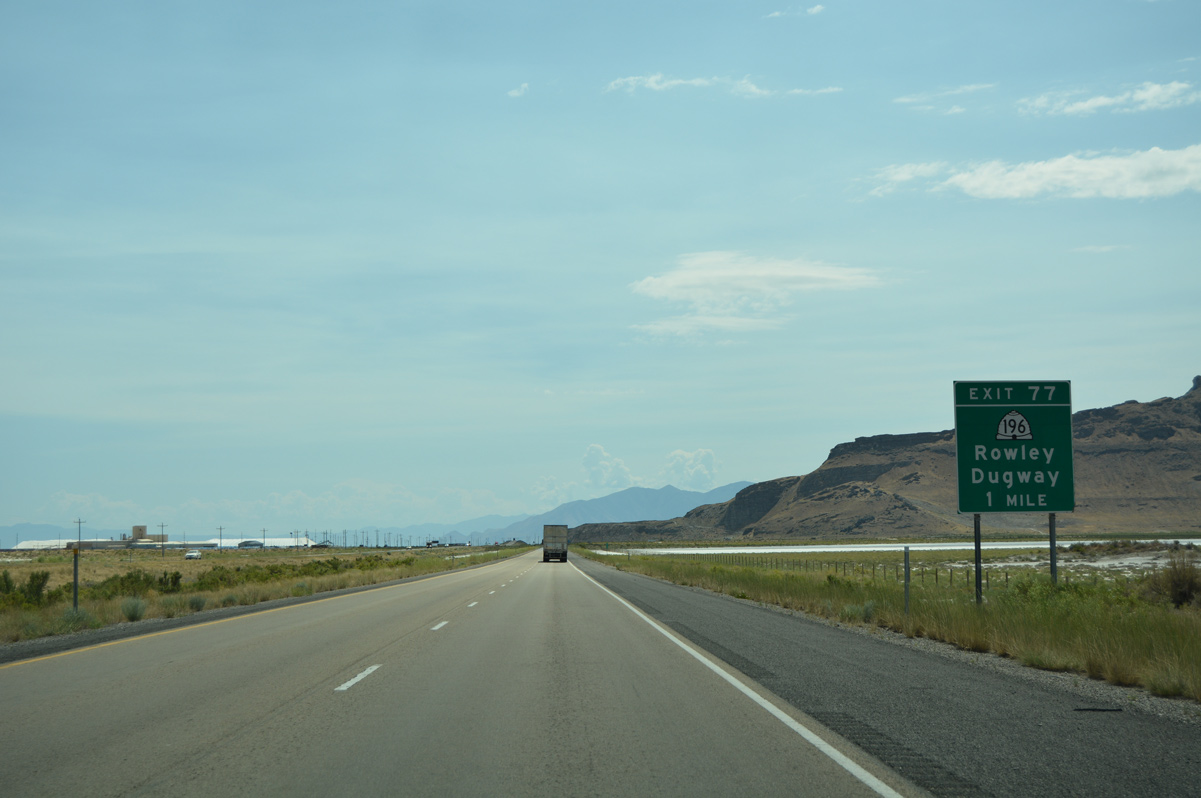
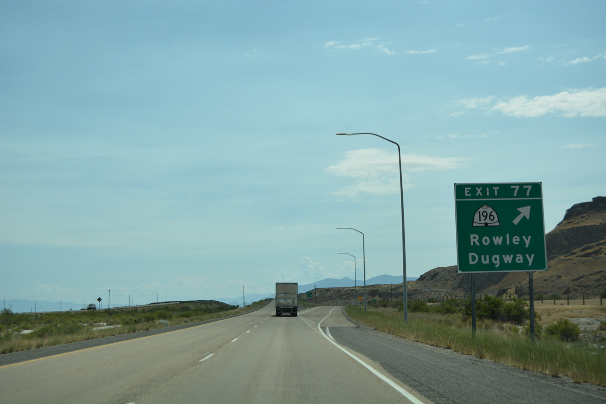
SR 196 commences a 36.92 mile course south to SR 199 from Interstate 80 at Exit 77. The state route ends just east of Dugway Proving Grounds.
07/03/16
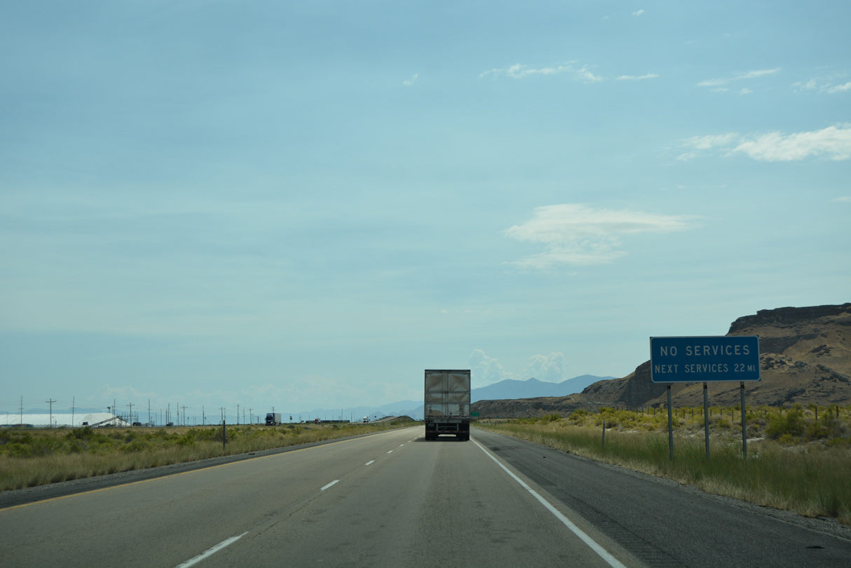
The service station at Delle provides the lone services along Interstate 80 between Wendover and Exit 99 (Lake Point).
07/03/16
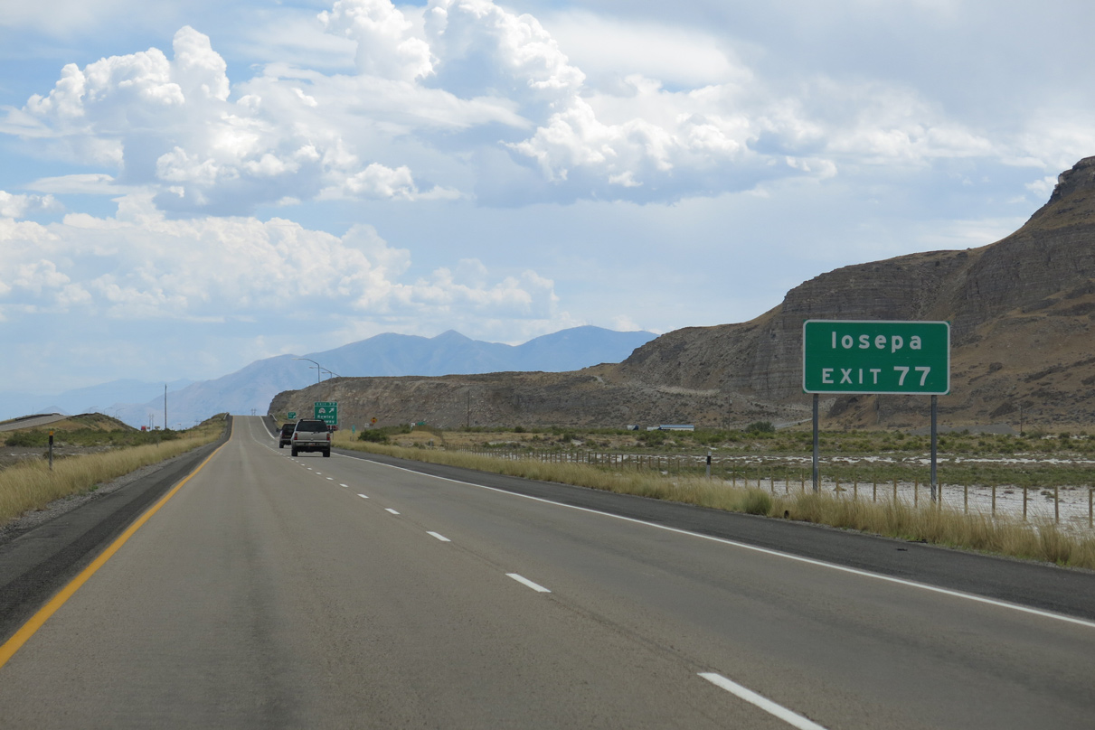
Iosepa is a ghost town located 17 miles to the south along SR 196. The community was founded by the LDS Church in 1889 and abandoned in 1917.
08/05/13
Entering the diamond interchange (Exit 77) with SR 196 south on Interstate 80 east. Rowley Road stems west from the exchange as a paved road spurring 15 miles north to Rowley. Rowley is located in Lakeside Valley, just off Great Salt Lake. The settlement is home to a magnesium processing plant.
07/03/16
State named shield for I-80 east posted just north of Big Spring and south of Timpie Springs Waterfowl Management Area.
08/05/13
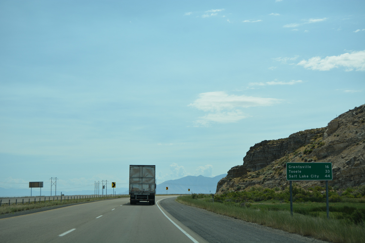
The city of Grantsville is located 16 miles to the southeast of Interstate 80 from Rowley Junction. Tooele, seat of Tooele County, is ten miles east of there via SR 112.
07/03/16
A number of power lines parallel Ellerbe Highway as the former route of U.S. 40 & U.S. 50 Alternate emerges from I-80 southeast to Grantsville. This stretch is not directly accessible from Interstate 80.
08/05/13
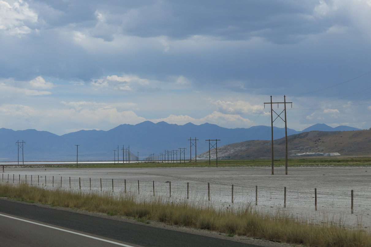
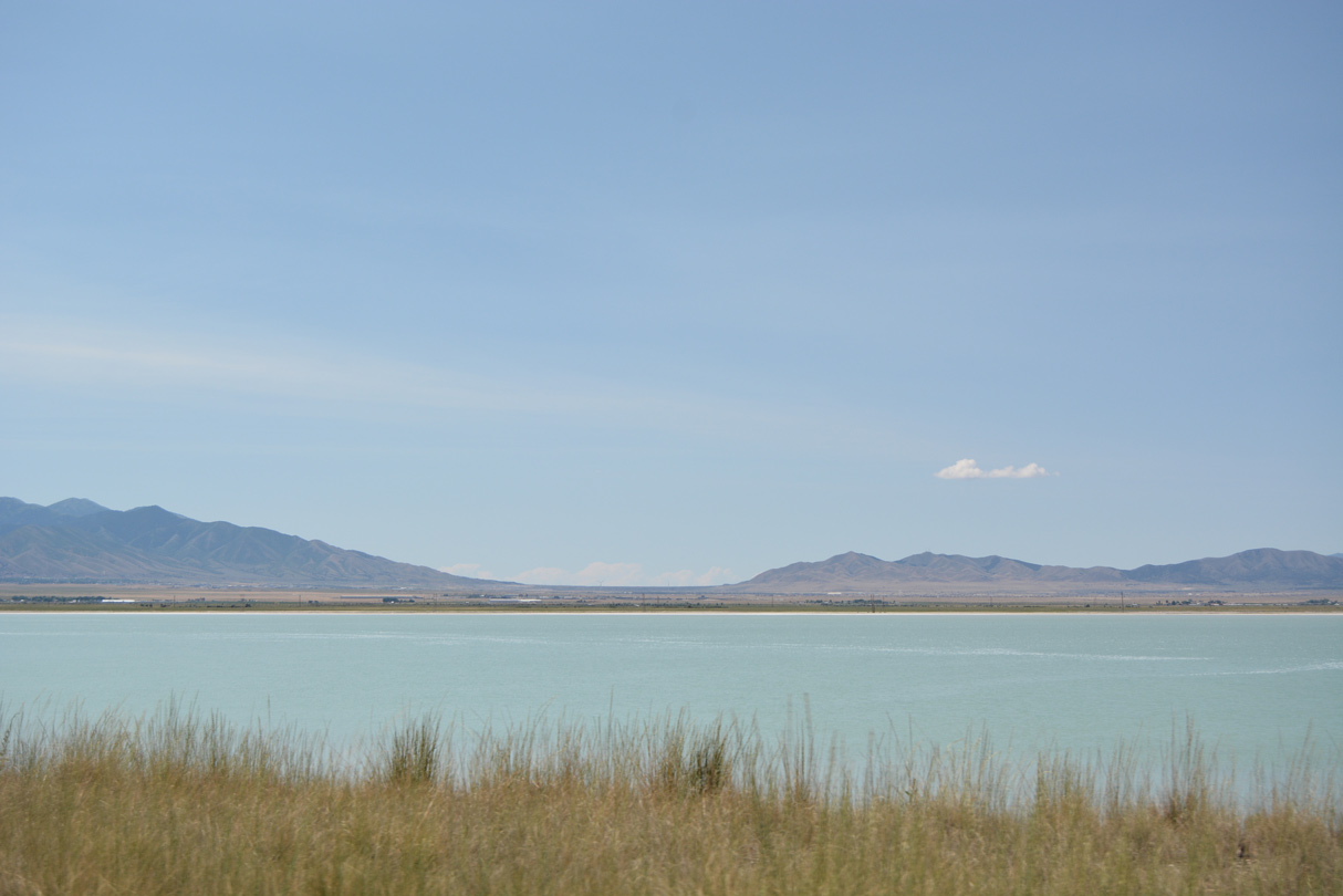
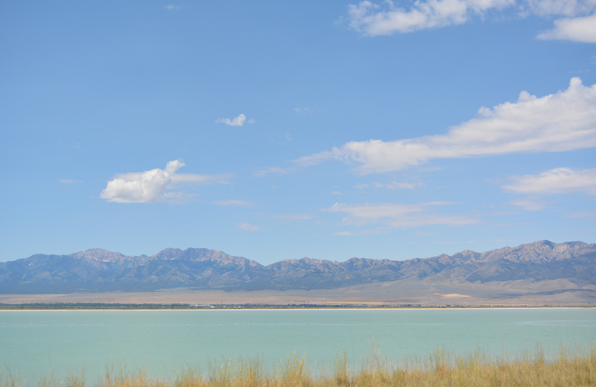
Interstate 80 travels as a defacto causeway through northern reaches of Tooele Valley across otherwise salt flats extending south from Great Salt Lake.
07/03/16
08/05/13
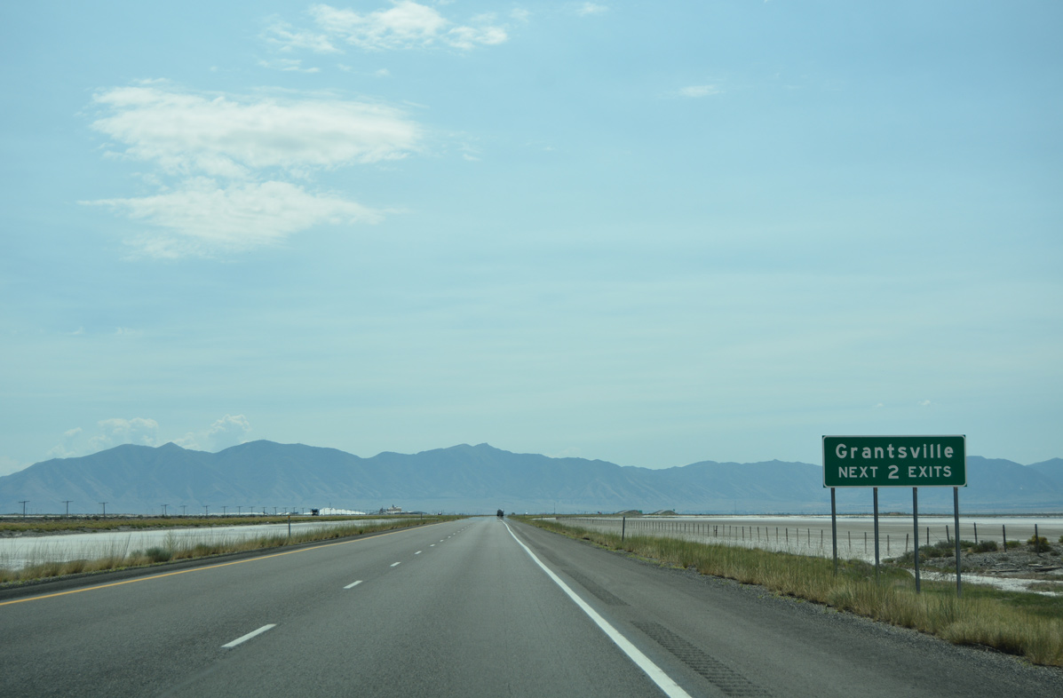
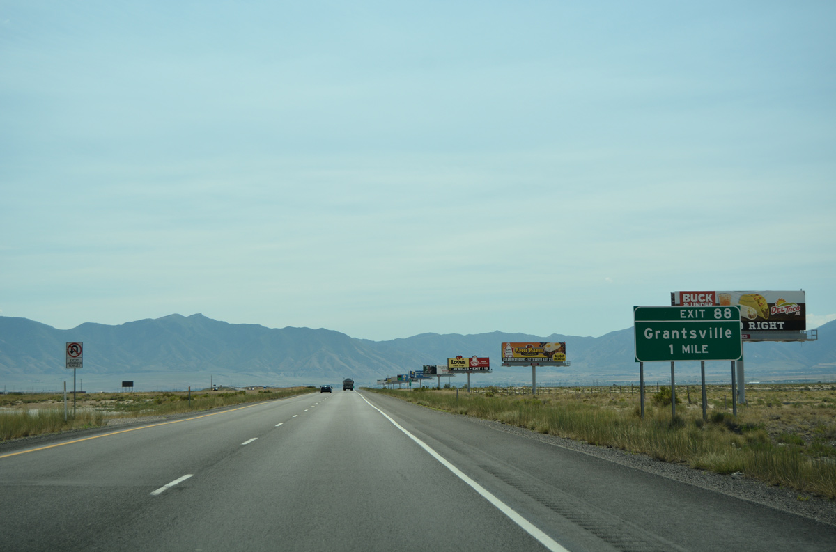
Grantsville lies 12 miles to the southeast via upcoming Exit 84. Exit 88 also serves the city of around 10,000.
07/03/16
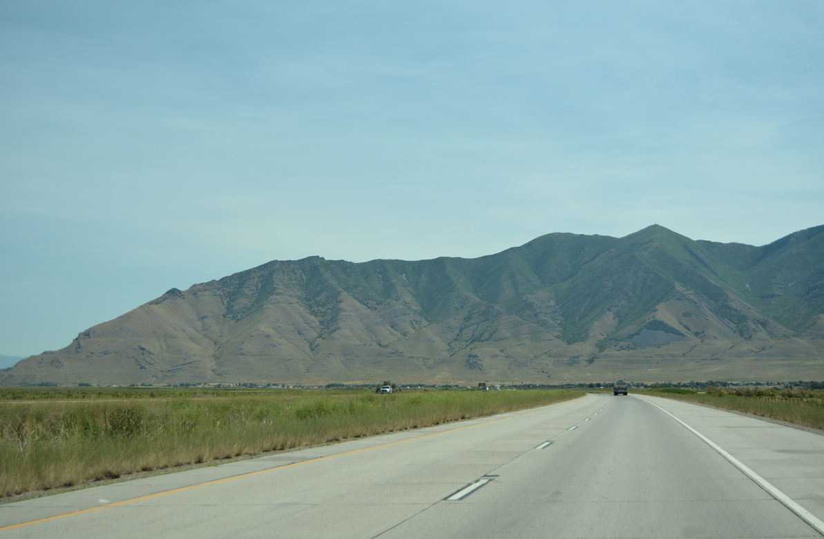
South Mountain and the western Oquirrh Mountains encircle southern reaches of Tooele Valley along Tooele Army Deport and the city of Tooele.
07/03/16

I-80 pulls away from the Stansbury Mountains to the northeast of Timpie Valley. Old U.S. 40 runs along the eastern foothills of the mountains to Dolomite and Flux.
08/05/13
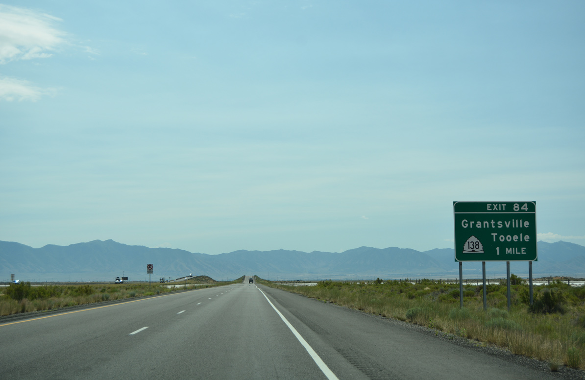
One mile west of the folded diamond interchange (Exit 84) with SR 138 south on Interstate 80 east. Stansbury Island Road spurs north from Exit 84 to the north end of Stansbury Island.
07/03/16
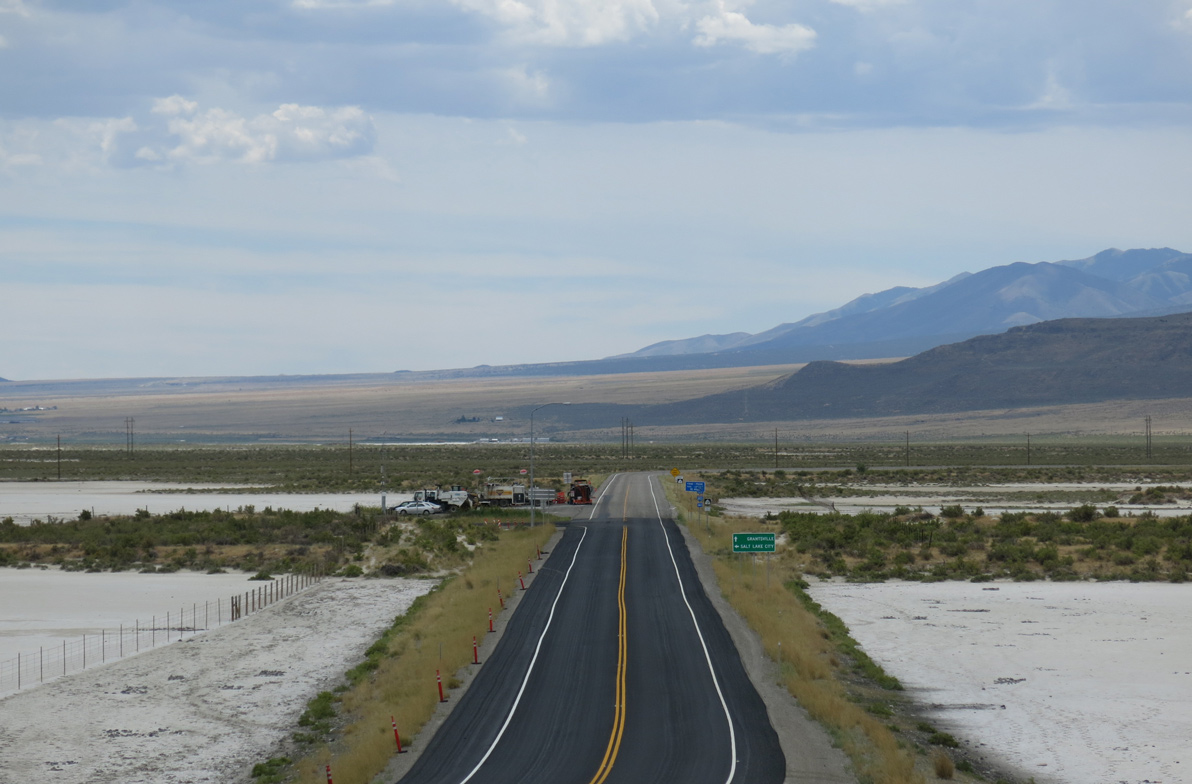
Drivers pass over SR 138 prior to the loop ramp (Exit 84) for the state route. SR 138 arcs 2.6 miles southwest to Flux, where it overtakes former U.S. 40 & 50 Alternate southeast to Grantsville.
08/05/13
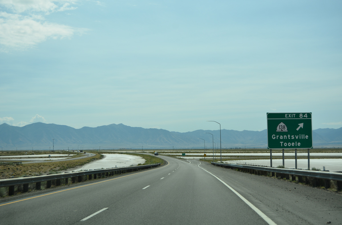
Exit 84 leaves I-80 east for SR 138 south. SR 138 forms a 20.44 mile loop south to Grantsville and east to SR 36 at Stansbury Park (just south of Exit 99).
07/03/16
Eastbound confirming marker for Interstate 80 posted ahead of the distant Oquirrh Mountains.
07/03/16
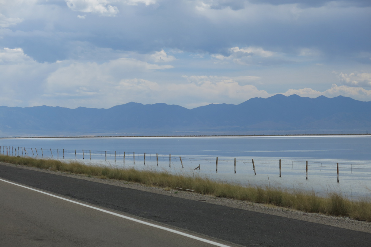
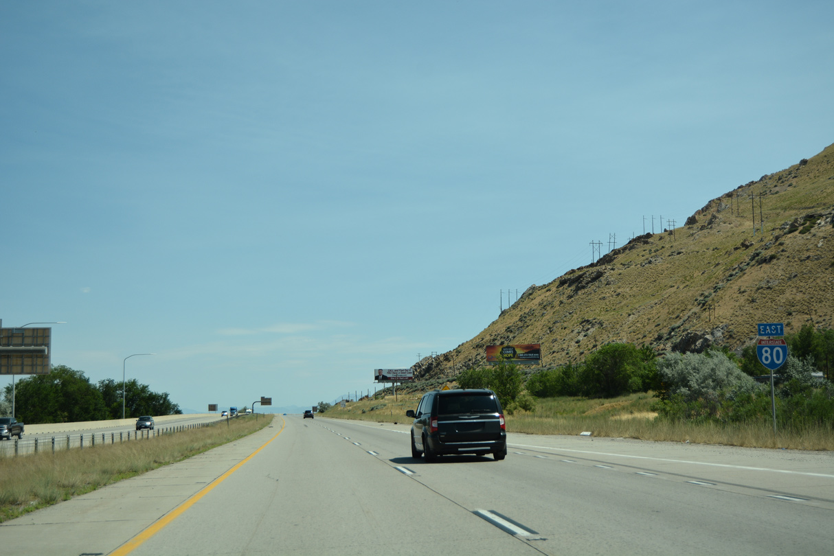
Interstate 80 hugs the shoreline of Great Salt Lake from Lake Point Junction northeast to Exit 104. Salt Lake City lies 17 miles further east along the freeway.
07/03/16
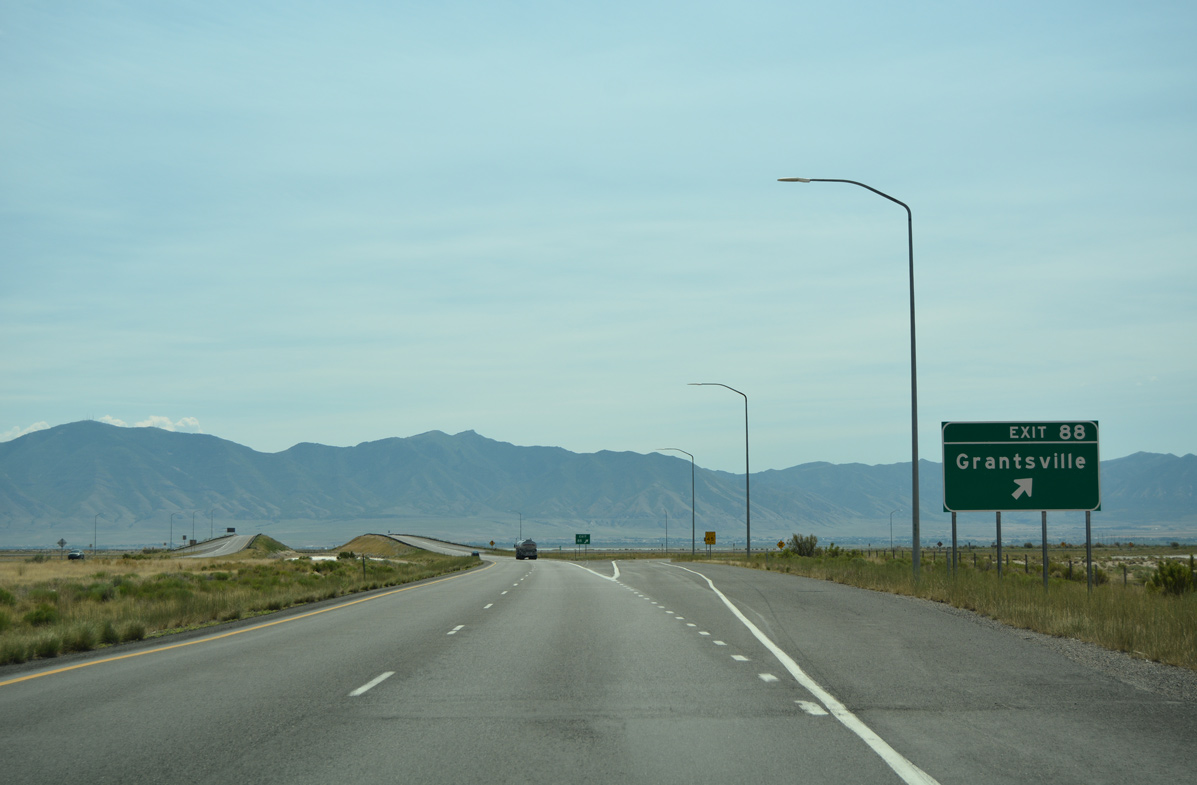
A folded diamond interchange (Exit 88) joins Interstate 80 next with Burmester Road near the UP Railroad siding of Burmester.
07/03/16
Burmester Road spurs six miles south from Interstate 80 and Exit 88 to North Street in Grantsville.
07/03/16
Advancing east from Exit 88 across Tooele Valley on Interstate 80.
07/03/16
Speed limits remain posted at 80 miles per hour to Exit 99. Downtown Salt Lake City is located 22 miles from there.
07/03/16
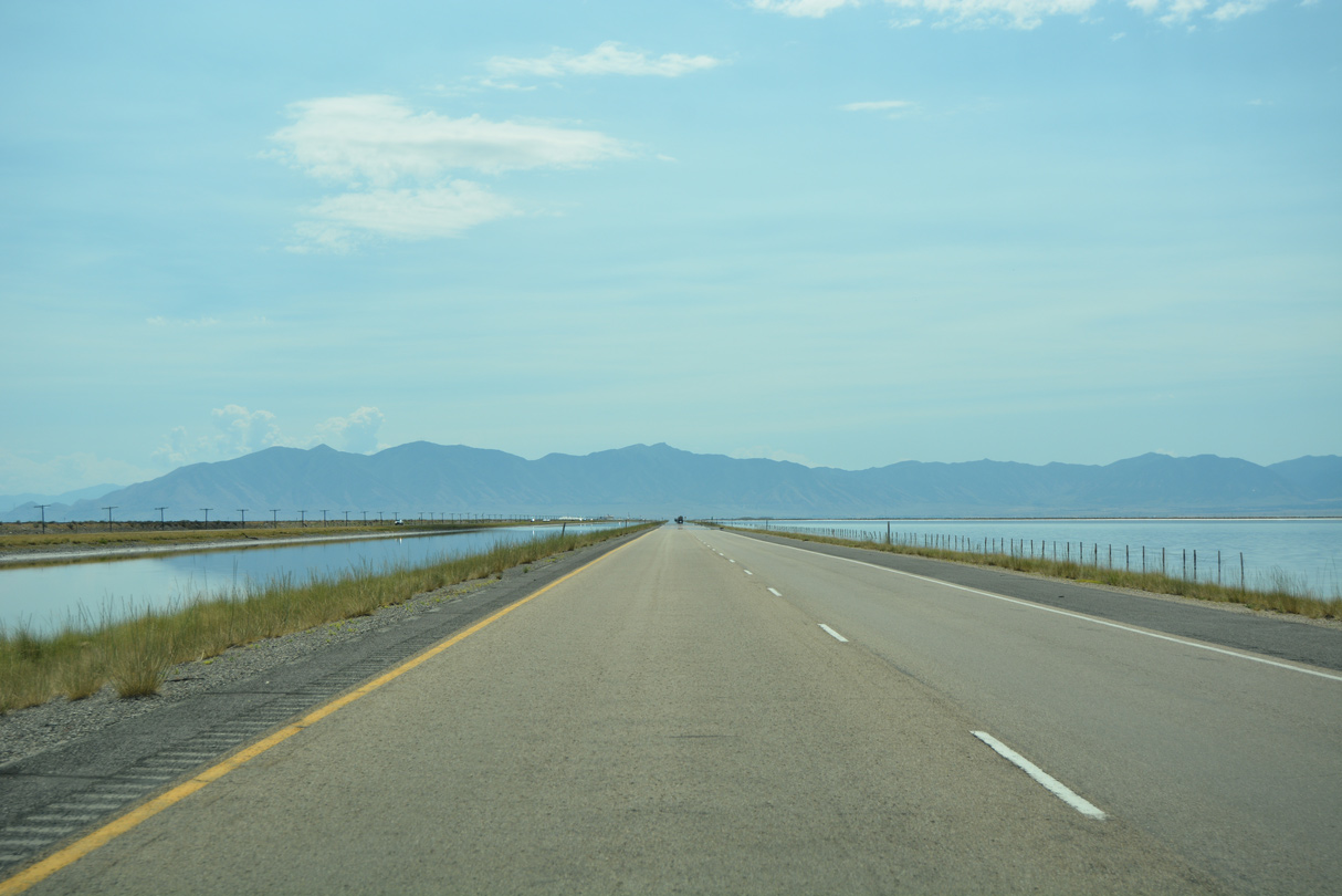
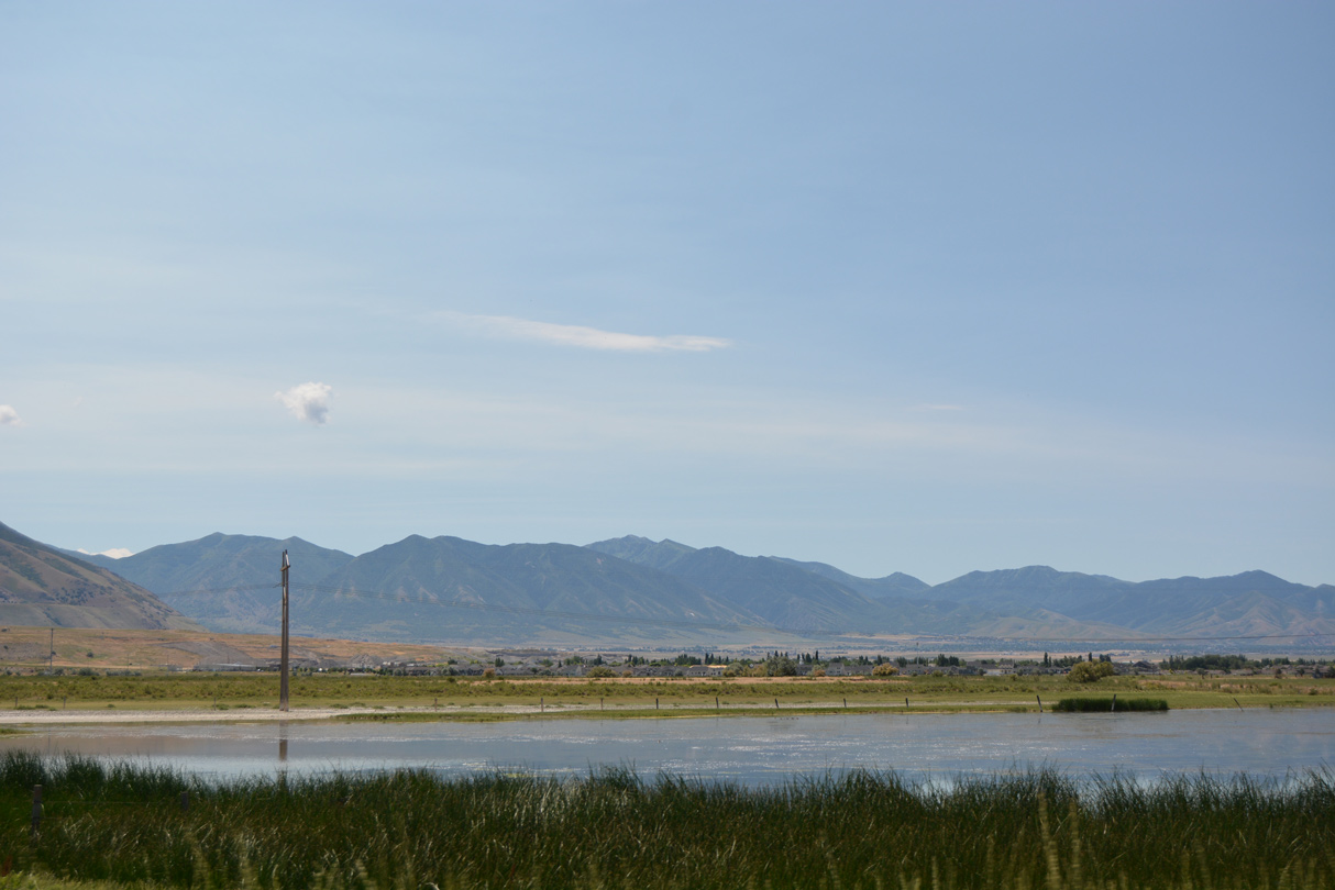
Shallow water spreads over the salt flats south of Interstate 80 as the freeway runs along the periphery of Great Salt Lake.
07/03/16

Interstate 80 makes a gradual turn to the north ahead of Mills Junction to circumvent the Oquirrh Mountains.
07/03/16
Suburban development comes into view from Stansbury Park. The growing unincorporated community surrounds a golf course and lake along both SR 138 west and SR 36 south.
07/03/16
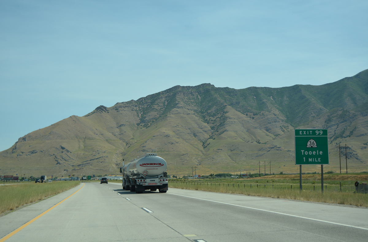
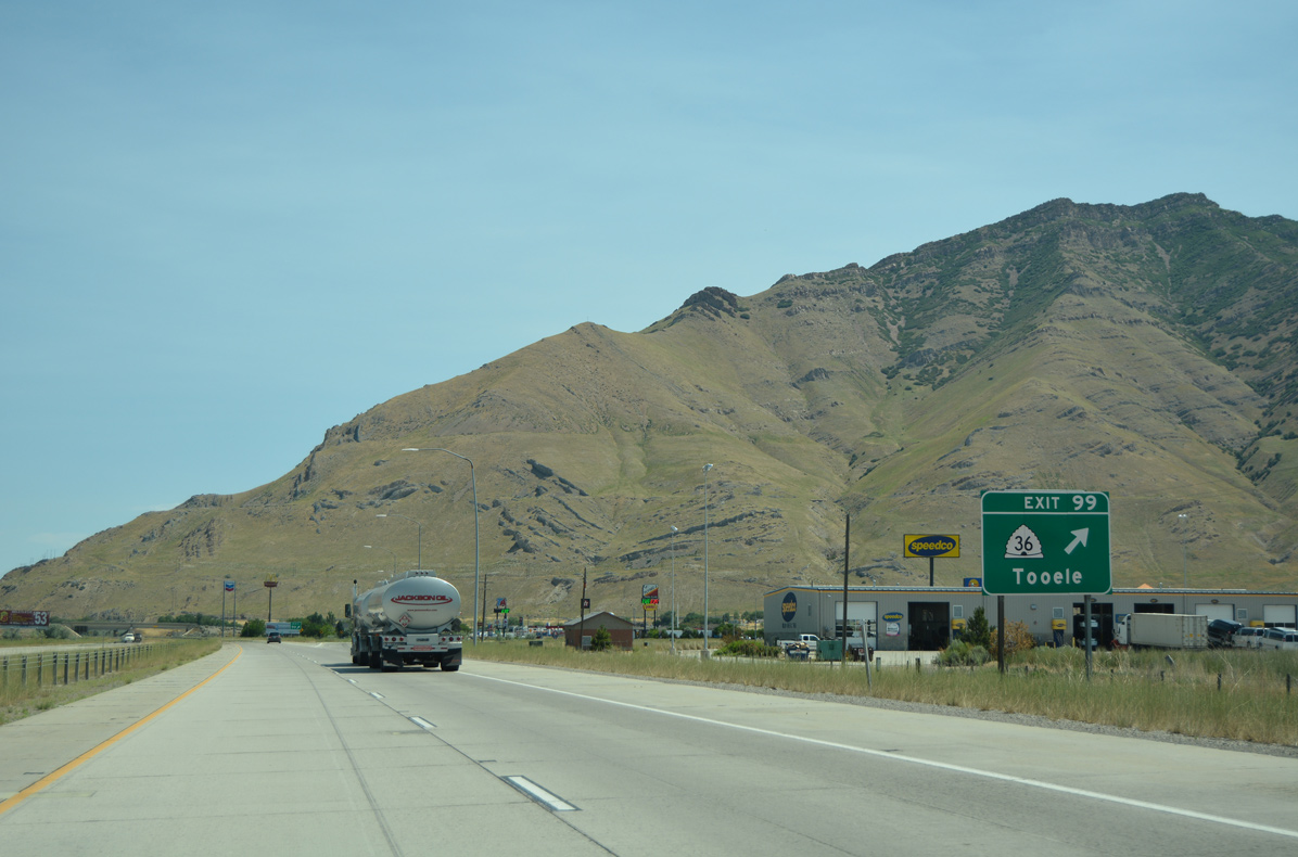
SR 138 (old U.S. 40 & 50 Alternate) ends at SR 36, 3.1 miles south of Interstate 80. A trumpet interchange (Exit 99) joins the state route with I-80 in one mile.
07/03/16
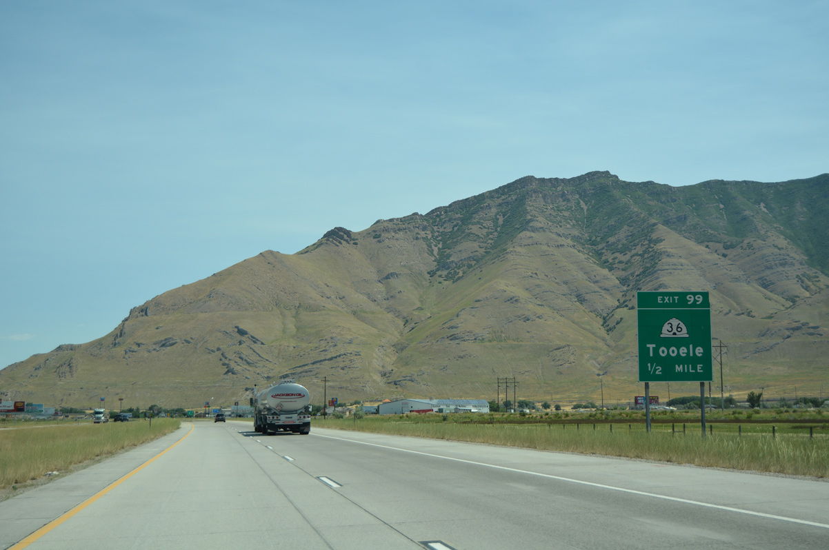
Exit 99 connects I-80 east with SR 36 at an intersection with Saddleback Boulevard. The original off-ramp departed 0.6 miles further east with a sharper curve onto SR 36 south. Exit 99 otherwise provides an array of traveler services.
07/03/16
Traveling 66.41 miles overall, SR 36 runs south from Tooele Valley and the city of Tooele to Rush Valley, Vernon, Boulter Summit and Tintic Valley. The state route ends at U.S. 6.
07/03/16
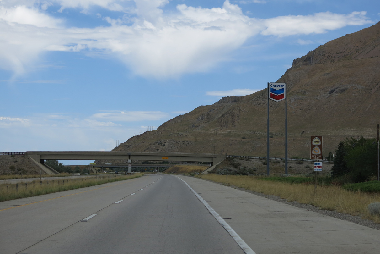
Trailblazers for the California Trail and Pony Express Auto Tour Routes stand along I-80 east ahead of the Hardy Road overpass. I-80 takes the routes east into Salt Lake Valley.
08/05/13

Hardy Road spans Interstate 80 at the former ramp departure of Exit 99 to SR 36 south.
08/05/13
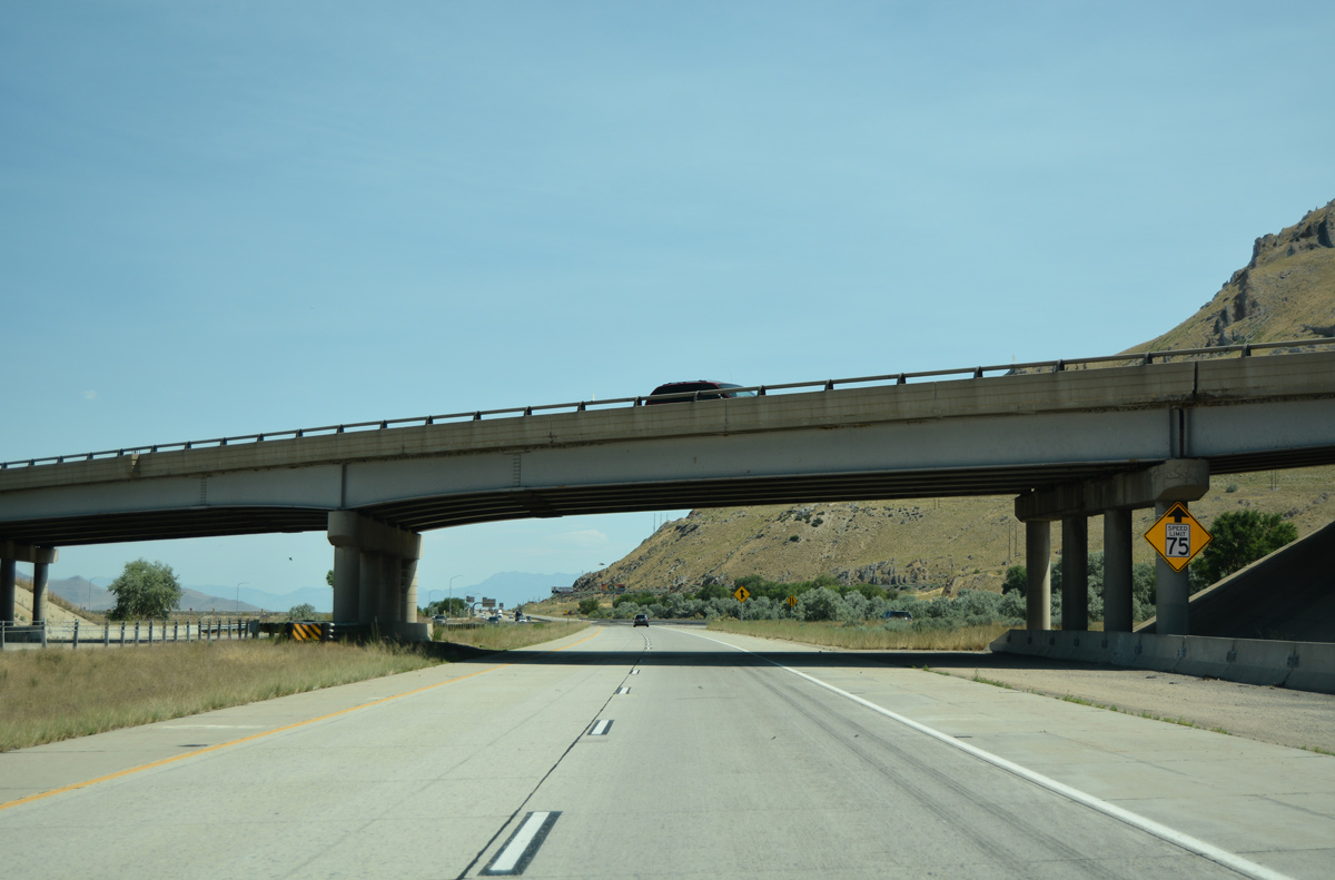
With the advent of commuter traffic from Grantsville, Tooele and Stansbury Park, speed limits reduce to 75 miles per hour along Interstate 80 east.
07/03/16
Clinton Landing Road parallels I-80 east to Lakeshore Drive south as a remnant of the former U.S. 40 & 50 Alternate. The freeway overtakes the old alignment to Lake Point Junction.
07/03/16
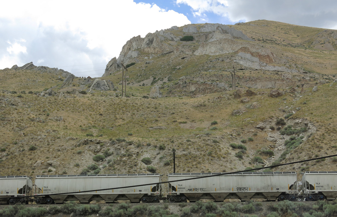
Rock outcrops appear above Interstate 80 from Lake Point, a 5,990 feet peak at the north end of the Oquirrh Mountains.
07/03/16
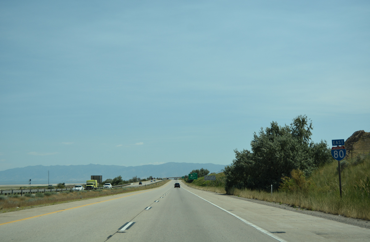
A second reassurance marker for Interstate 80 east appears after milepost 100 on the stretch between SR 36 and SR 201. Union Pacific Railroad lines parallel both sides of the freeway here.
07/03/16
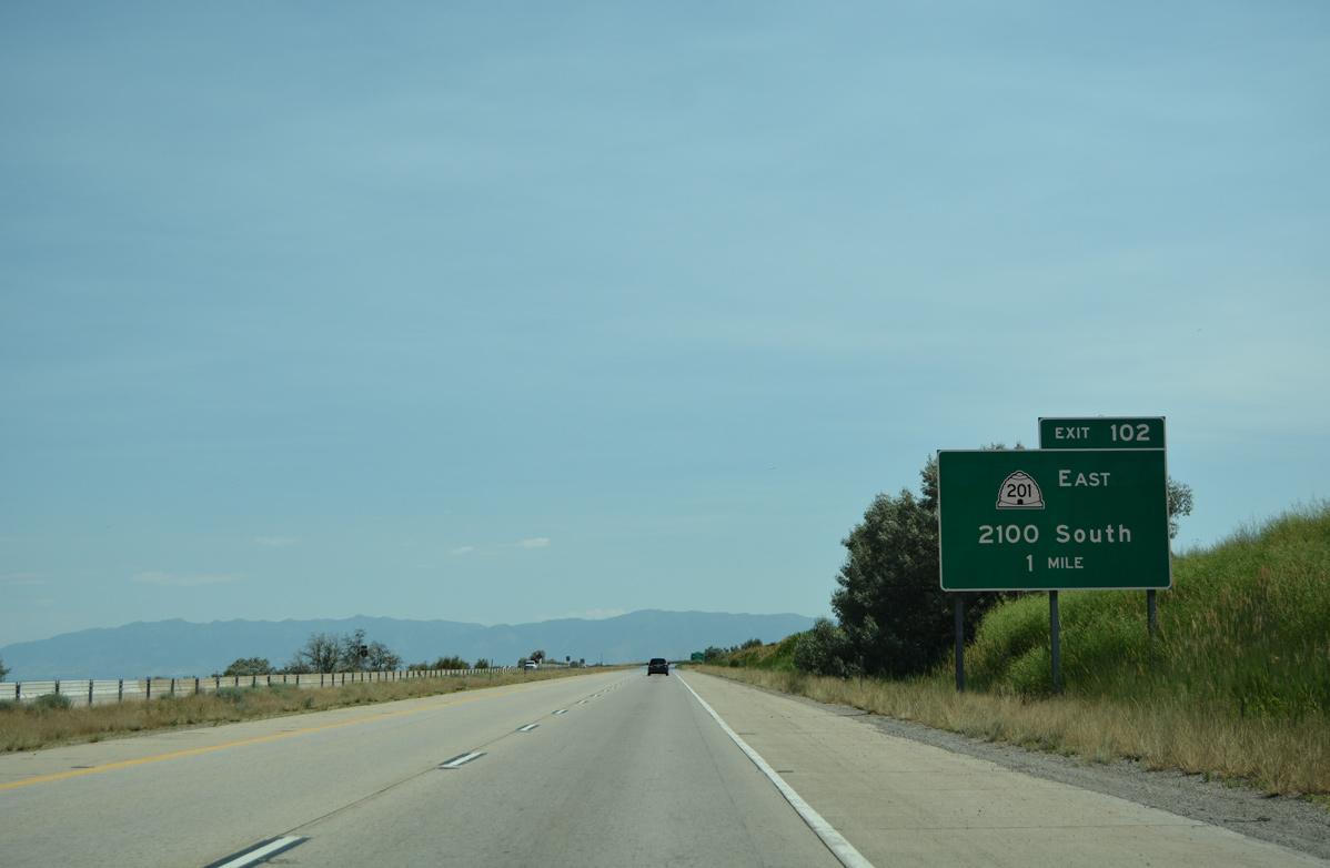
SR 201 splits from Interstate 80 in one mile at a wye interchange (Exit 102). The state route initially travels as an at-grade expressway, but eventually transitions to the 2100 South Freeway into Salt Lake City.
07/03/16
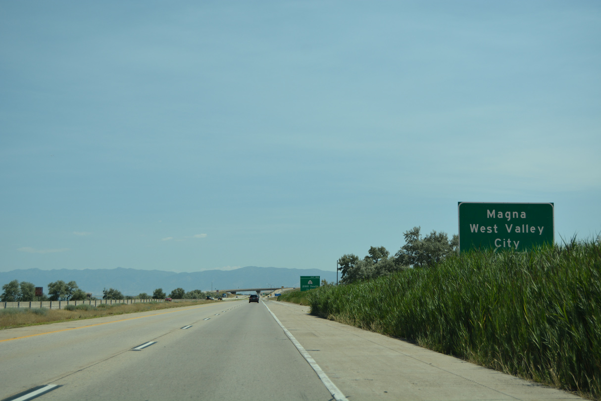
SR 201 (2100 South) follows former U.S. 50 Alternate east to Magna and West Valley City.
07/03/16
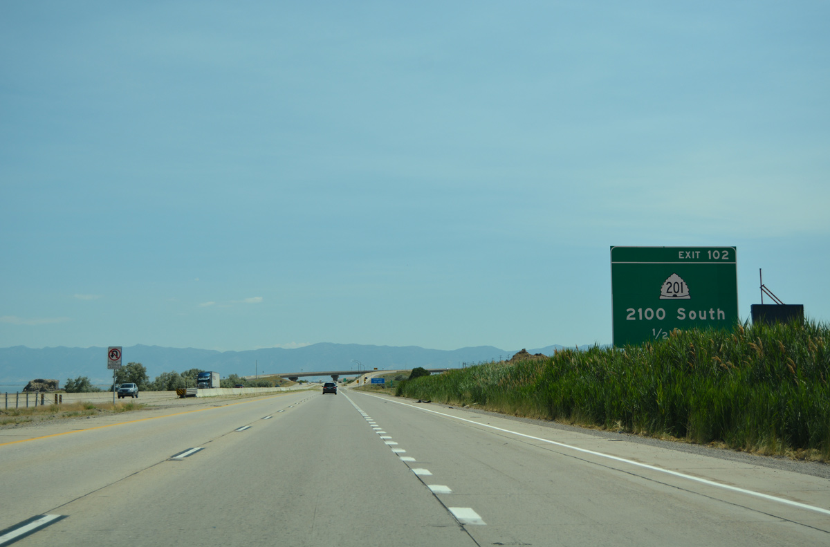
One half mile ahead of Exit 102 for SR 201 (2100 South) on I-80 east. SR 201 constitutes a 18.10 mile commuter route from Lake Point Junction to U.S. 89 (Temple Street) at Salt Lake City and South Salt Lake.
07/03/16
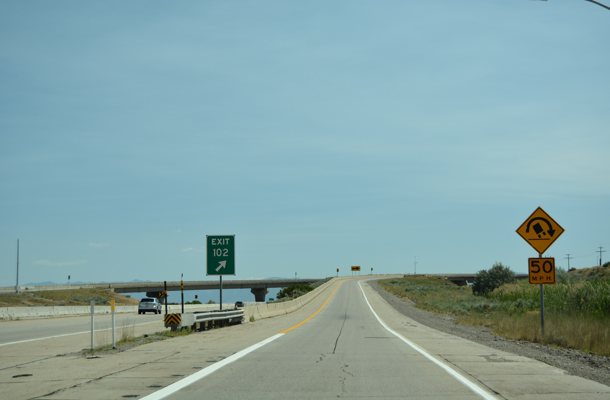
Exit 102 departs as a single lane off-ramp for the beginning of SR 201. The initial section of SR 201 winds by the Kennecott Utah Copper plant and mining site.
07/03/16
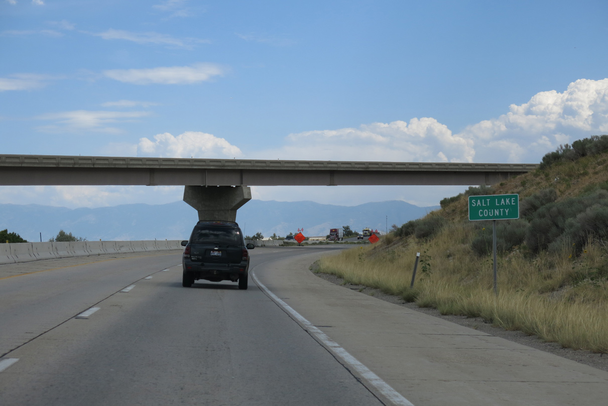
Interstate 80 formally enters Salt Lake County at Lake Point Junction.
08/05/13
Photo Credits:
- Alex Nitzman: 07/03/16
- Andy Field: 08/05/13
Connect with:
Page Updated Saturday July 30, 2016.