
Interstate 80 West - Grand Island to Kearney

 West
West
09/05/05

09/05/05
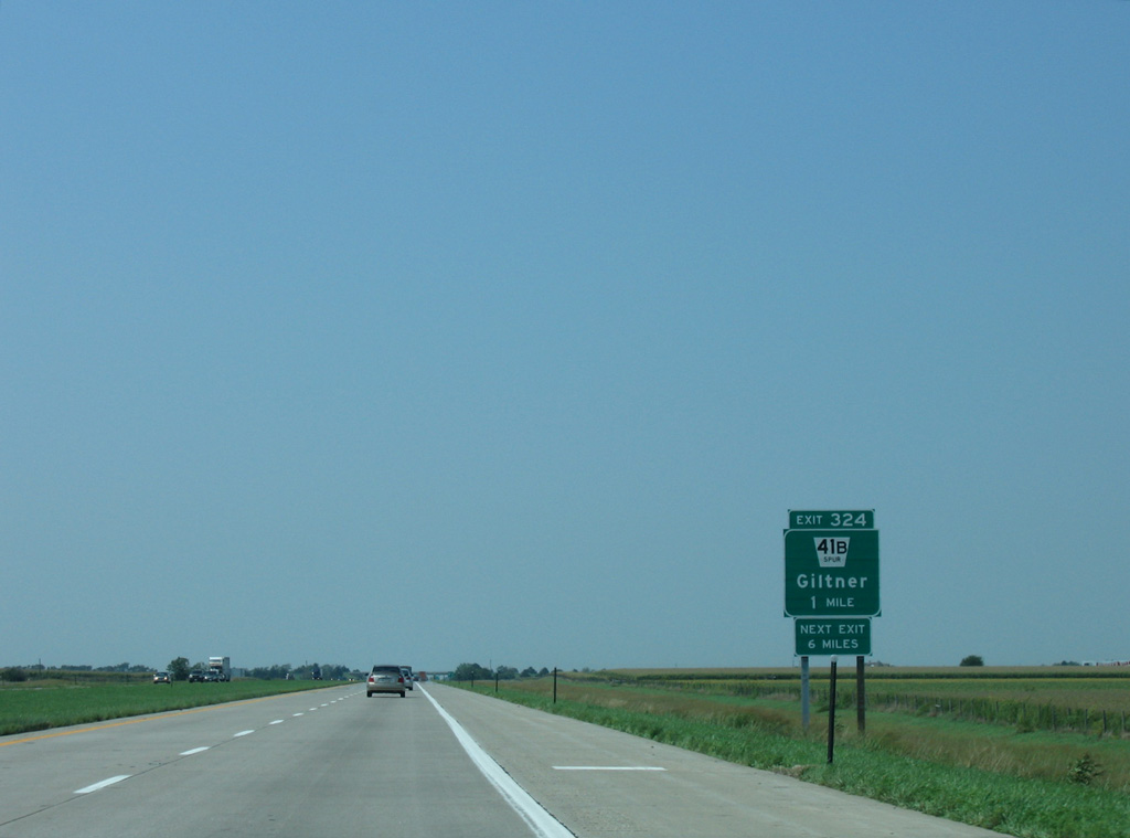
I-80 meets S-41B at Exit 324, midway between the village of Giltner and U.S. 30.
09/05/05
09/05/05
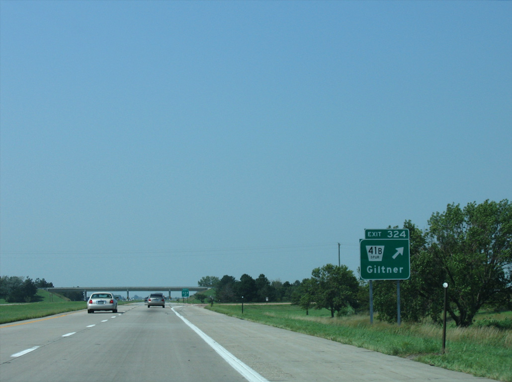
Spur 41B measures 6.71 miles in length between Railroad Street in Giltner and U.S. 34 at H Road east of Phillips.
09/05/05
09/05/05
09/05/05
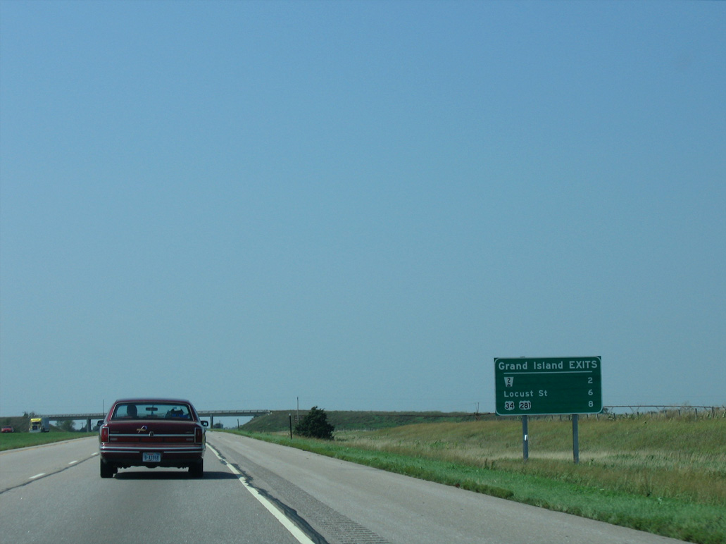
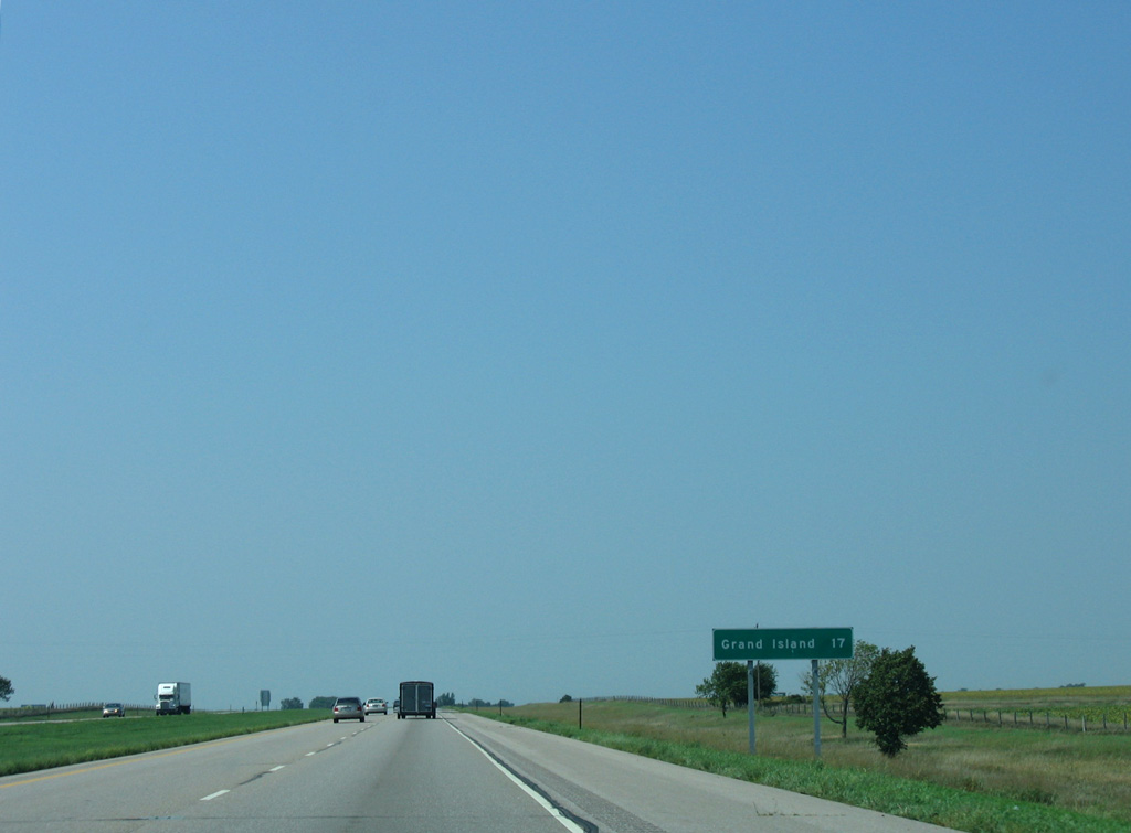
NE 2 is the first of three connections to the city of Grand Island.
09/05/05
09/05/05
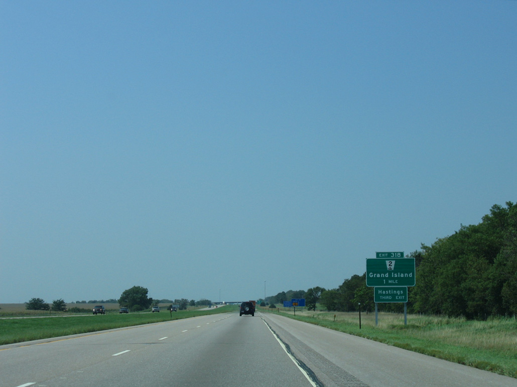
NE 2 stems 3.57 miles north from the parclo interchange at Exit 318 to U.S. 34.
09/05/05
09/05/05
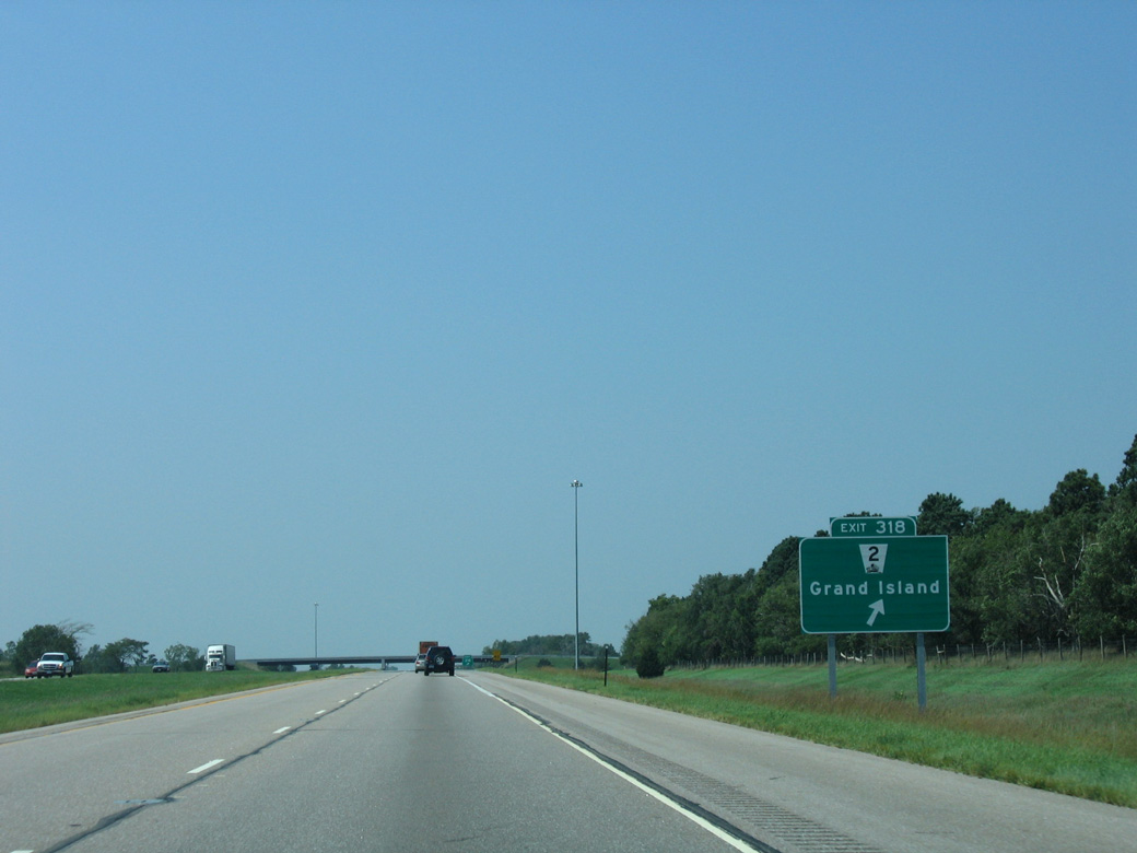
NE 2 combines with U.S. 34 west to Grand Island and U.S. 281 north along a commercial arterial through western reaches of the city.
09/05/05
09/05/05

09/05/05

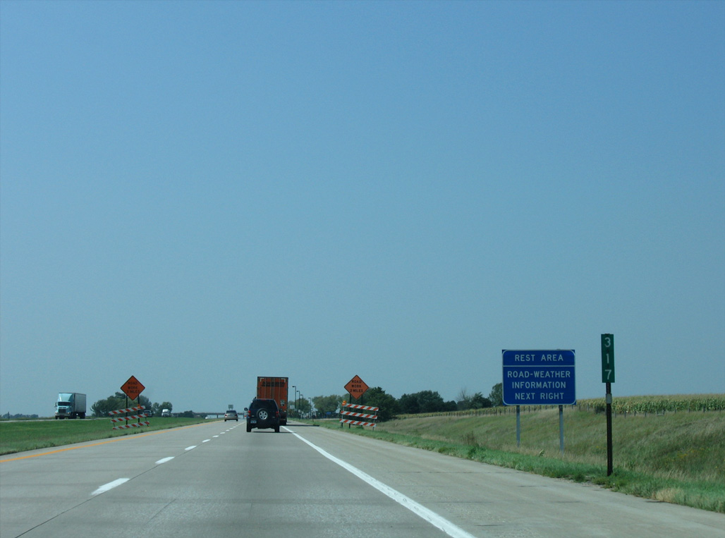
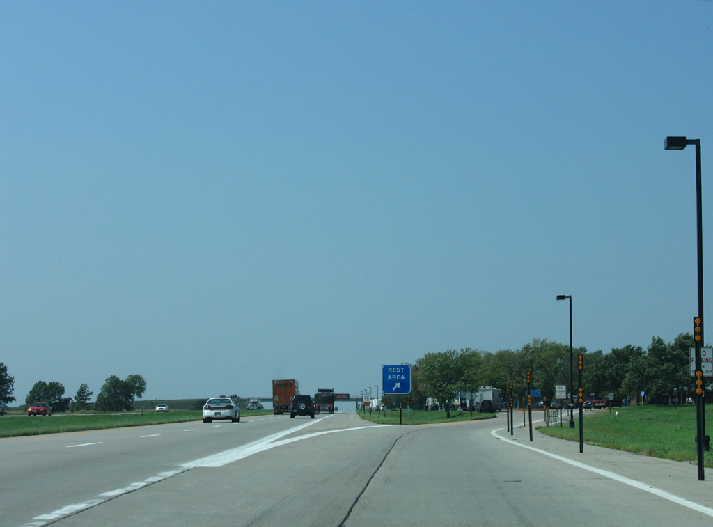
I-80 west enters Hall County a half mile ahead of the Grand Island Rest Area.
09/05/05
09/05/05
09/05/05
09/05/05
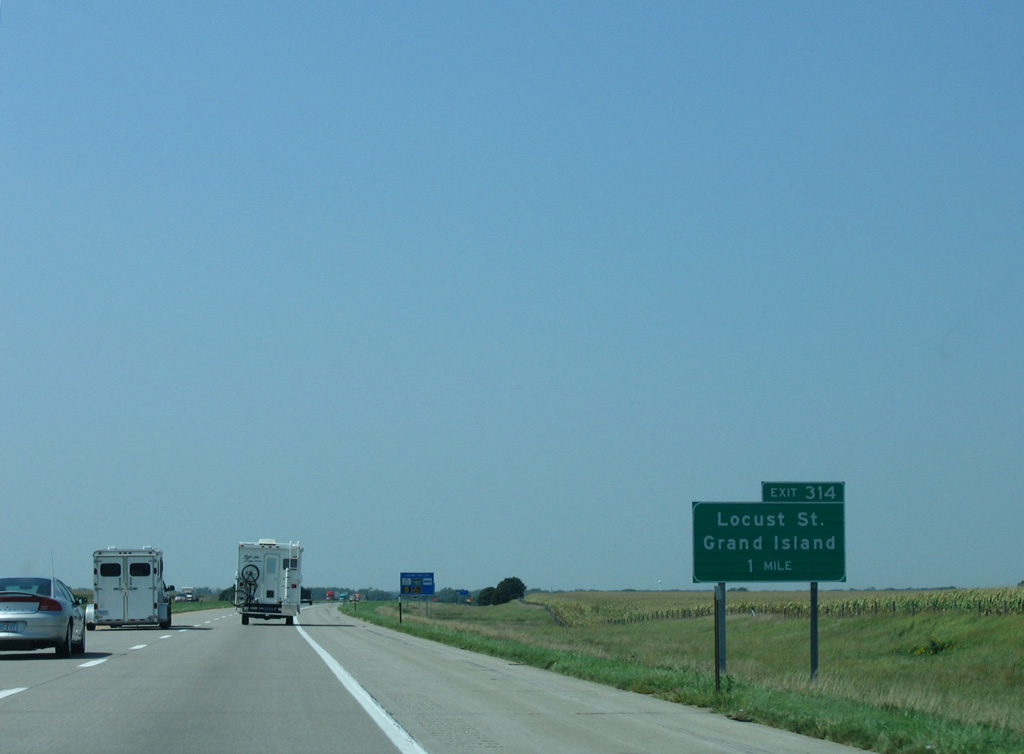
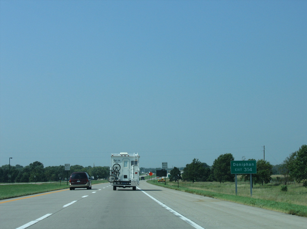
Shifting north, Interstate 80 next meets Locust Street north into Grand Island.
09/05/05
09/05/05
09/05/05
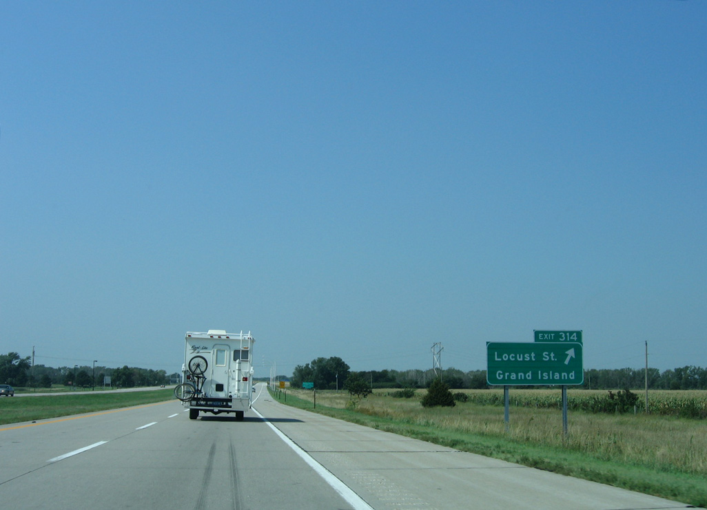
Locust Street constitutes a four lane highway north from the parclo interchange at Exit 314 into the city of Grand Island.
09/05/05
09/05/05
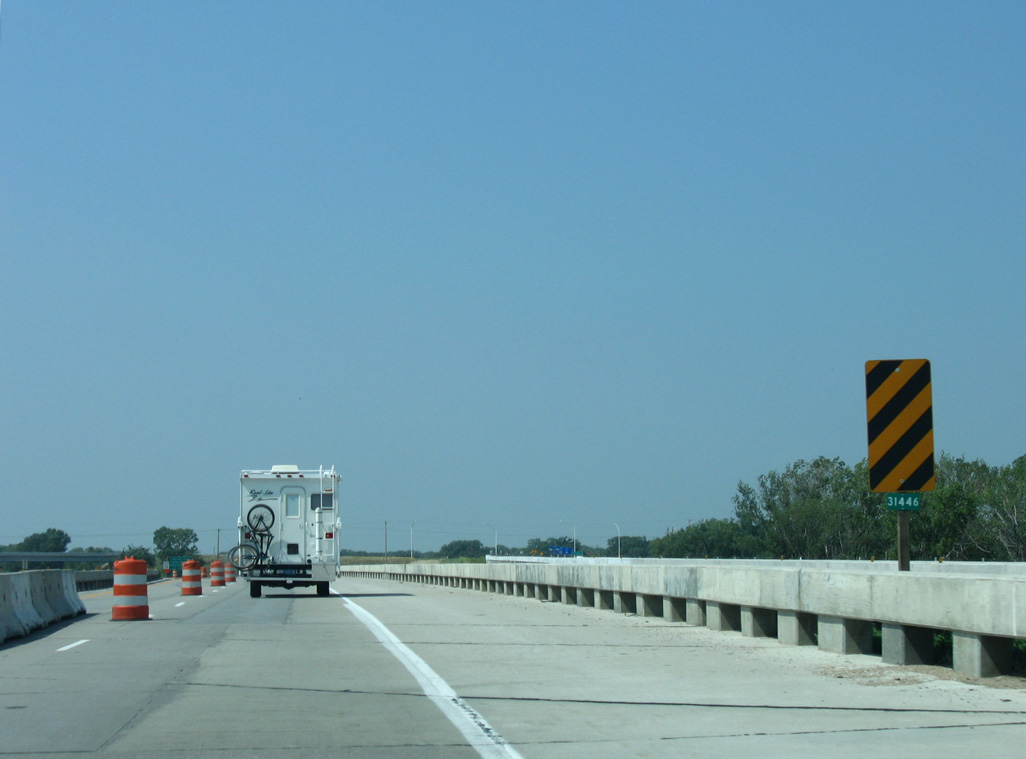
Interstate 80 crosses the South Channel of the Platte River leading into the exchange with Locust Street.
09/05/05
09/05/05
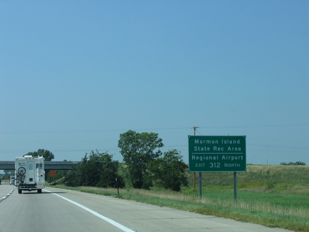
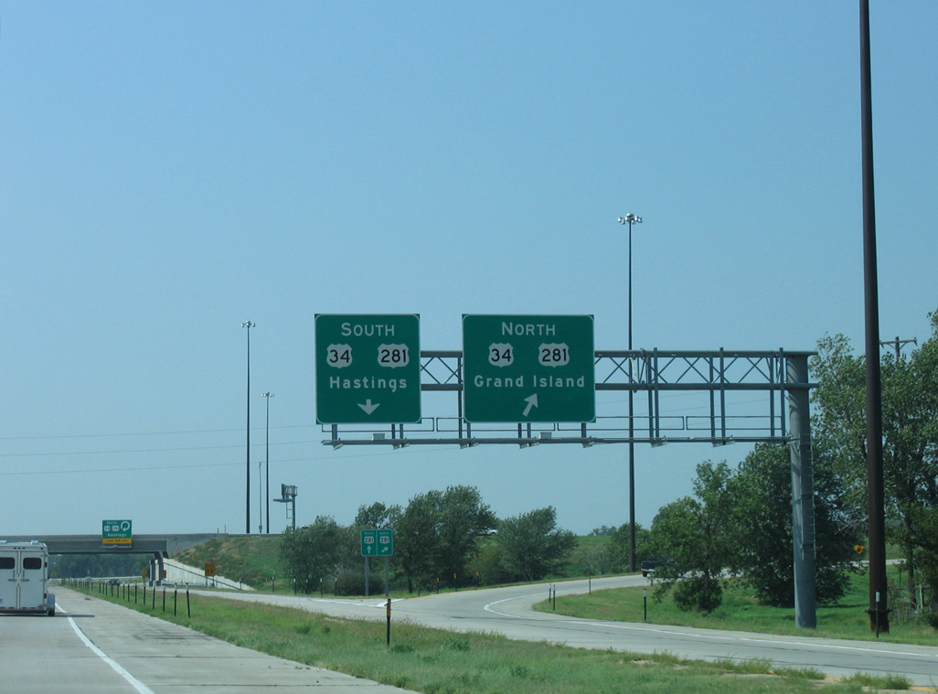
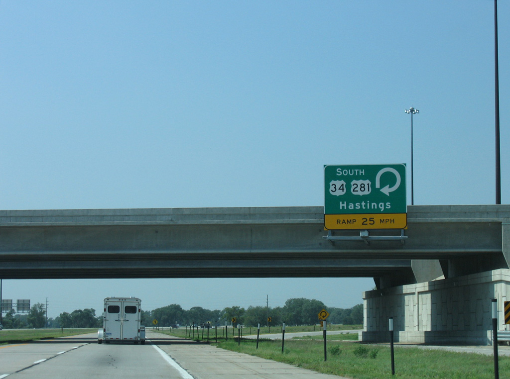
Interstate 80 travels across Mormon Island west to the six-ramp parclo interchange (Exit 312) with U.S. 34/281 by Mormon Island State Recreation Area.
09/05/05
09/05/05
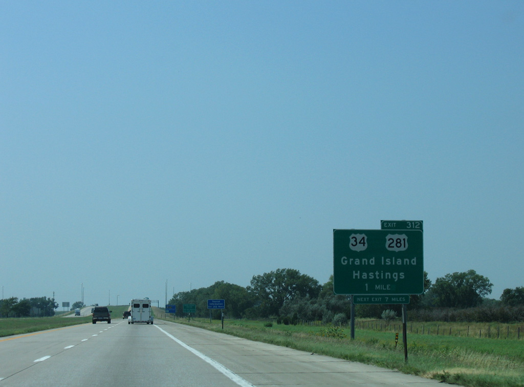
U.S. 34/281 overlap north to Husker Highway in Grand Island and south to U.S. 6 (J Street) in Hastings.
09/05/05
09/05/05
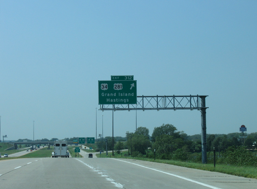
U.S. 34 turns west from Hastings alongside U.S. 6 and parallels I-80 well to the south en route to Holdrege.
09/05/05
09/05/05
09/05/05
09/05/05
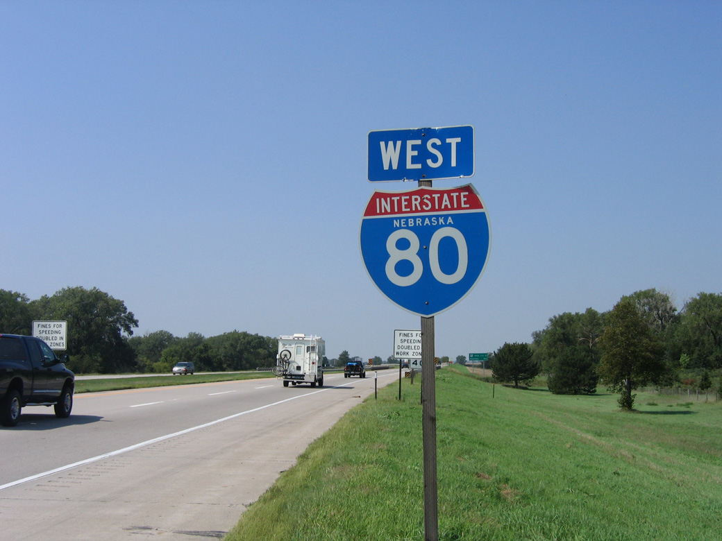
Interstate 80 makes an S-curve west from U.S. 34/281 across the Middle Channel of the Platte River.
09/05/05
09/05/05
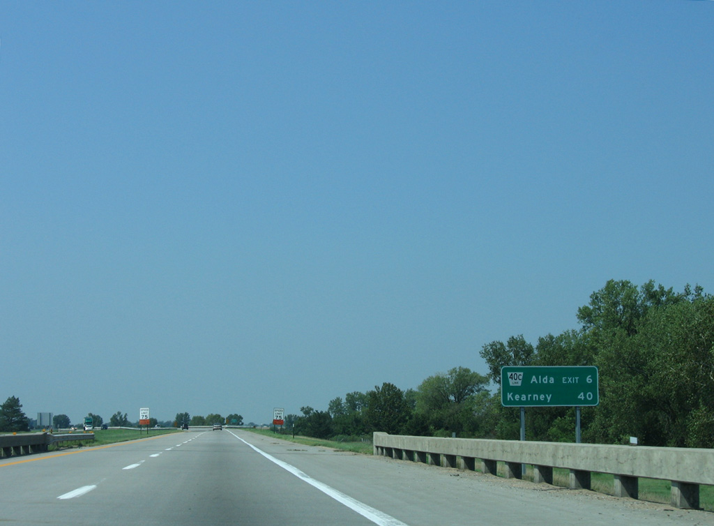
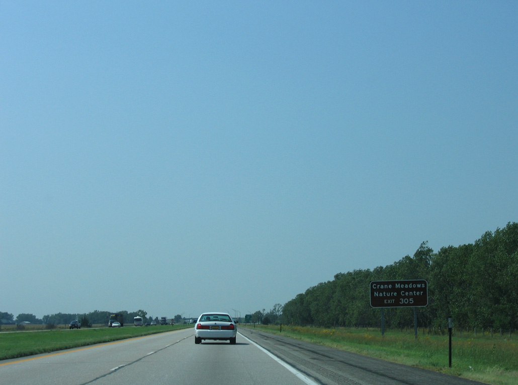
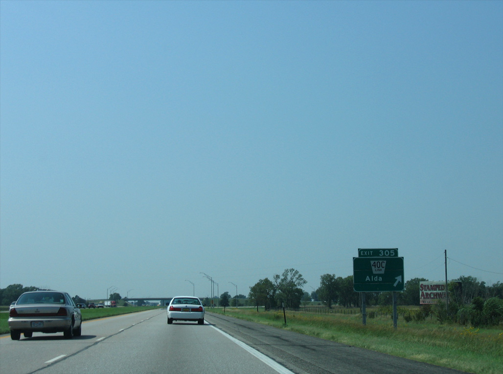
Turning west parallel to the Platte River Middle Channel, Interstate 80 advances six miles to a diamond interchange (Exit 305) with L-40C and S Alda Road.
09/05/05
09/05/05

09/05/05
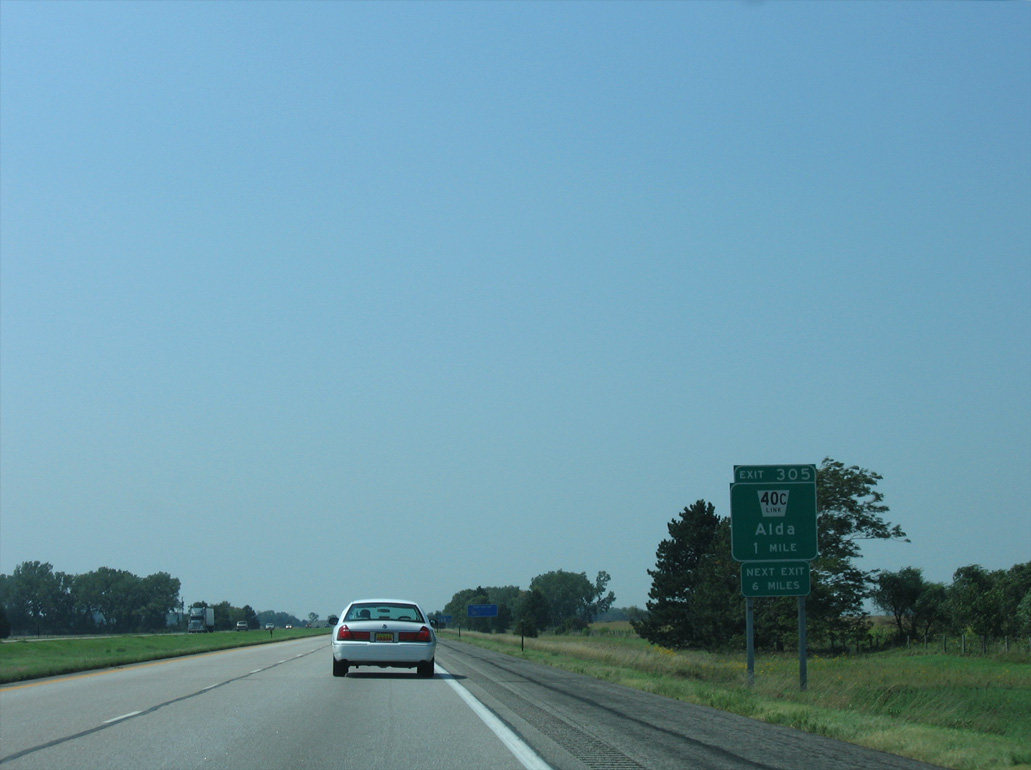
Link 40C runs 5.83 miles north from I-80 at Exit 305 to U.S. 30 at the village of Alda.
09/05/05
09/05/05
09/05/05
09/05/05
09/05/05
09/05/05
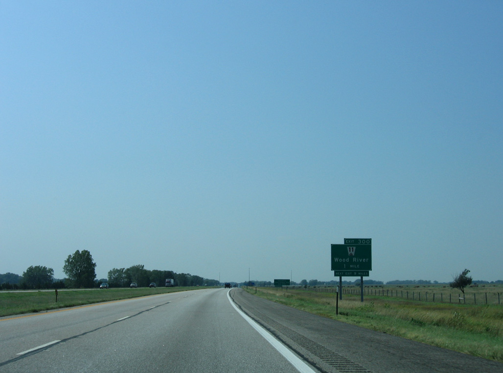
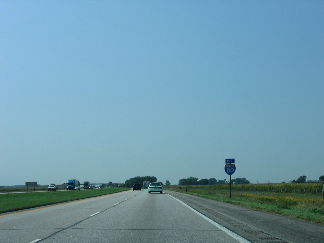
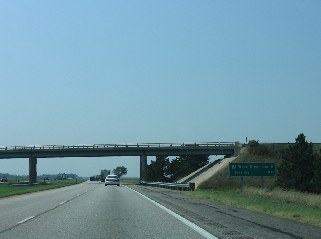
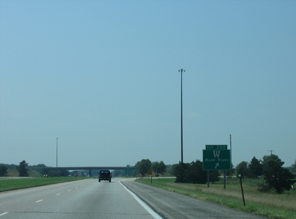
N-11 converges with Interstate 80 at Exit 300 south from the city of Wood River.
09/05/05
09/05/05
09/05/05
09/05/05
09/05/05
09/05/05
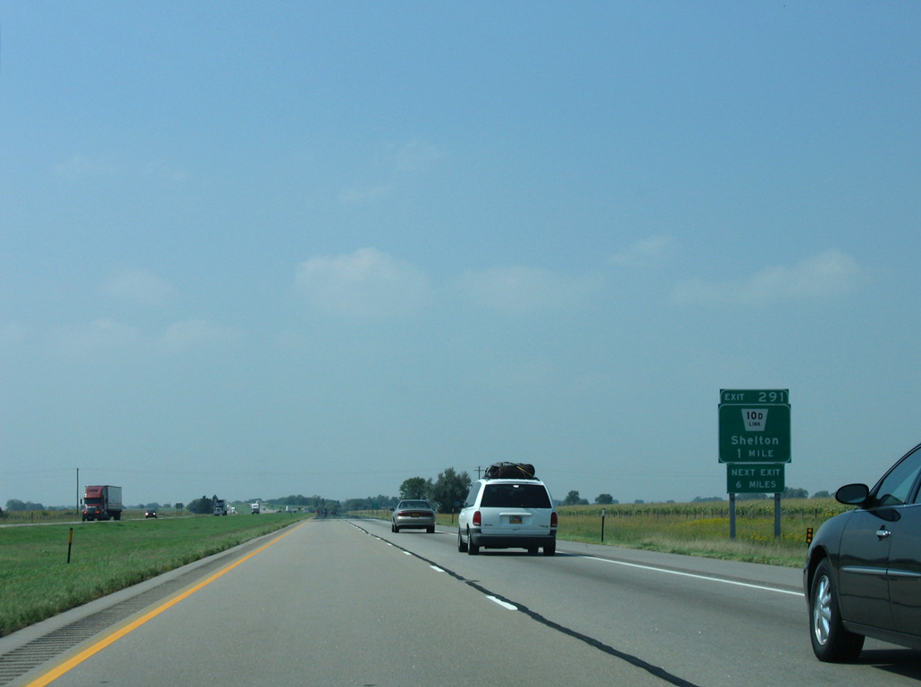
Link 10D runs 3.99 miles north from Exit 291 to U.S. 30 at the village of Shelton.
09/05/05
09/05/05
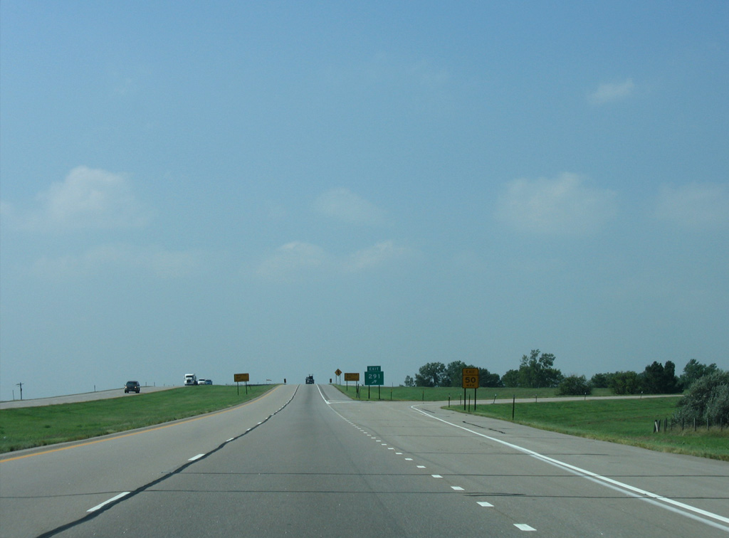
The parclo A2 interchange at Exit 291 is unique in that Interstate 80 spans L-10D at the at-grade railroad crossing with the Union Pacific Railroad line between the ramps.
09/05/05
09/05/05
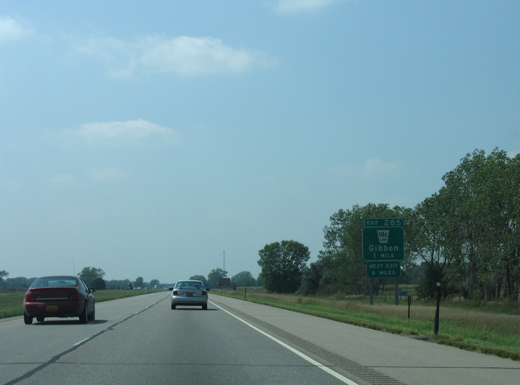
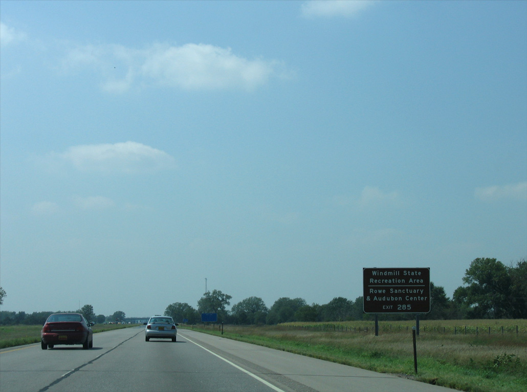
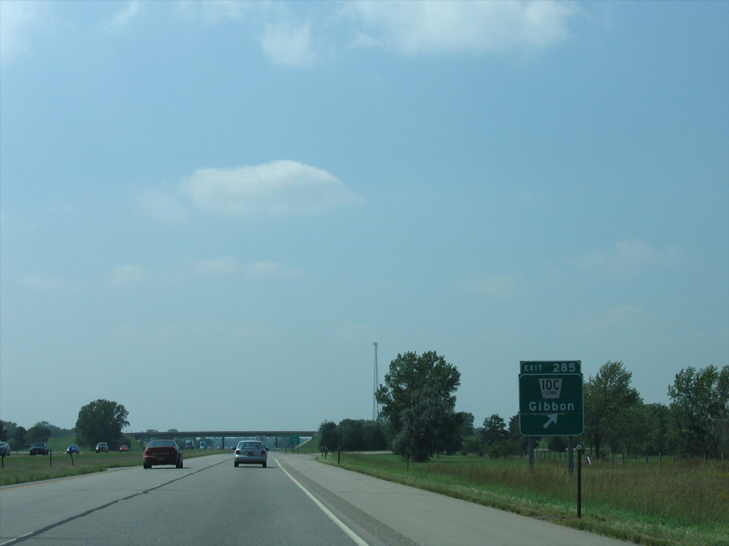
L-10C connects Interstate 80 with U.S. 30 in the city of Gibbon, 3.89 miles to the north.
09/05/05
09/05/05
09/05/05
09/05/05
09/05/05
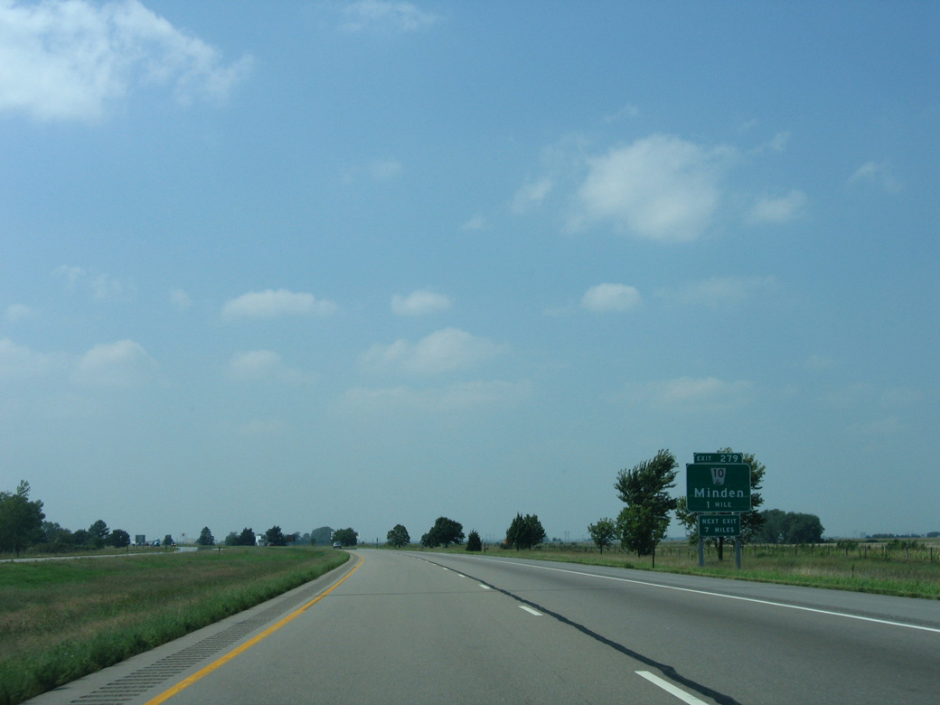
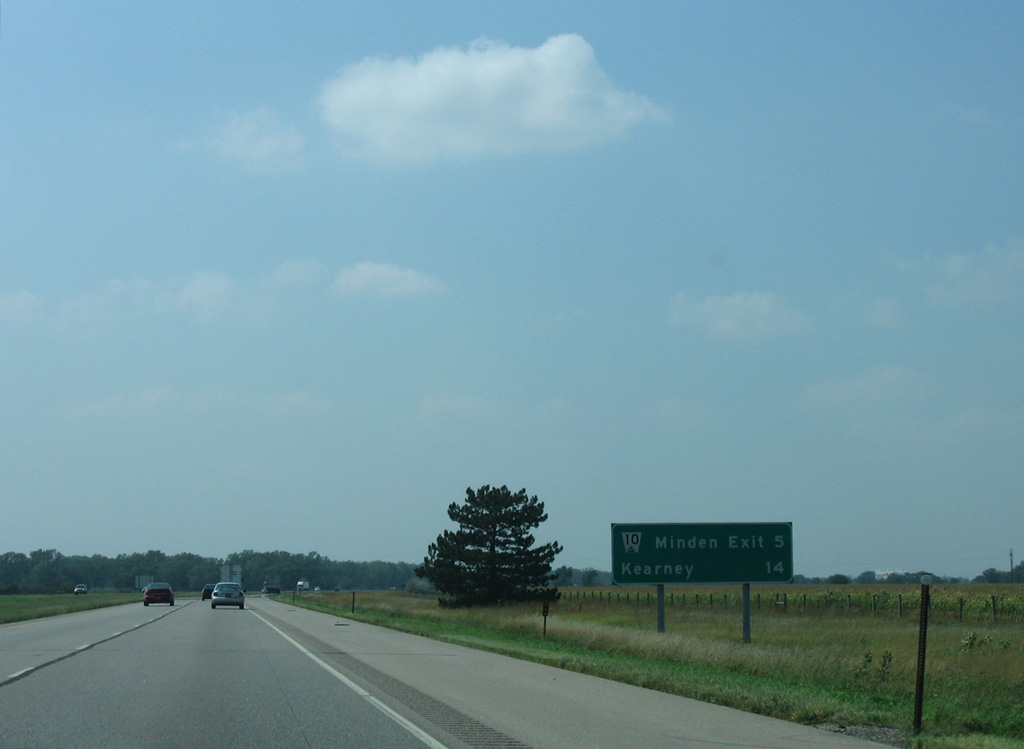
N-10 travels 11.7 miles north from the Kearny County Fairgrounds at the city of Kearney to the diamond interchange at Exit 279.
09/05/05
09/05/05
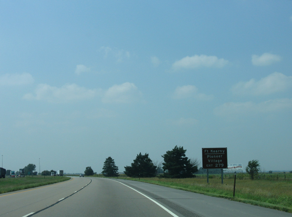
Fort Kearney State Historical Park lies west of N-10 and the unincorporated community of Newark along L-50A.
09/05/05
09/05/05
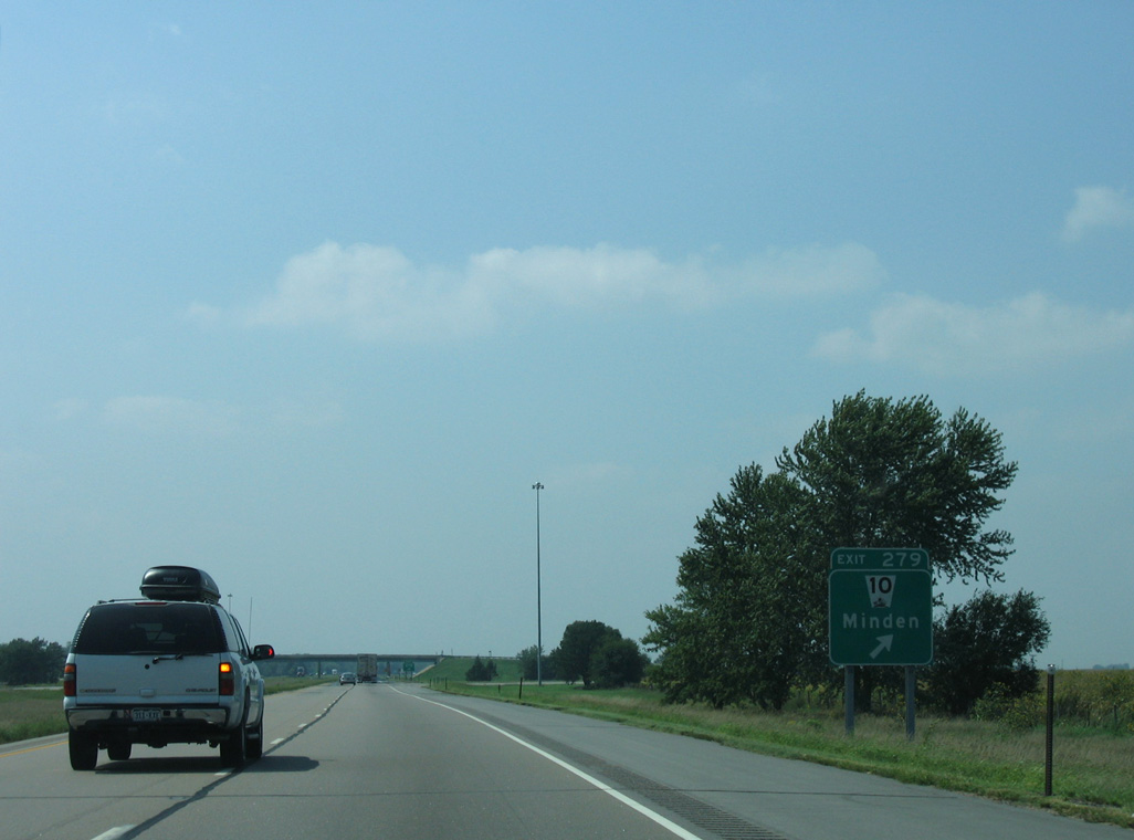
Keystone Road extends north from I-80 to U.S. 30 as the former alignment of N-10. The completion of the Kearny Expressway from the succeeding exit coincided with the relocation of N-10 west alongside I-80 to Exit 275.
09/05/05
09/05/05
West  North
North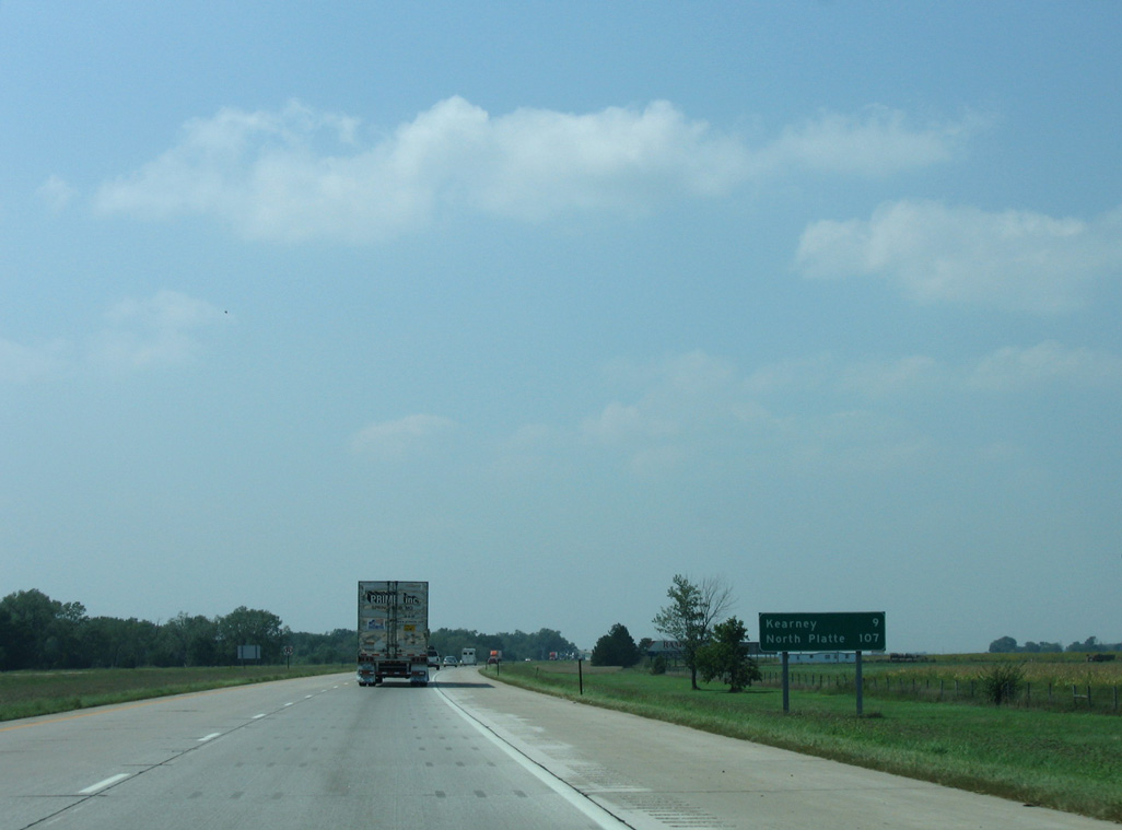
N-10 overlaps with Interstate 80 west for 4.30 miles to southeastern reaches of the Kearny city limits.
09/05/05
09/05/05
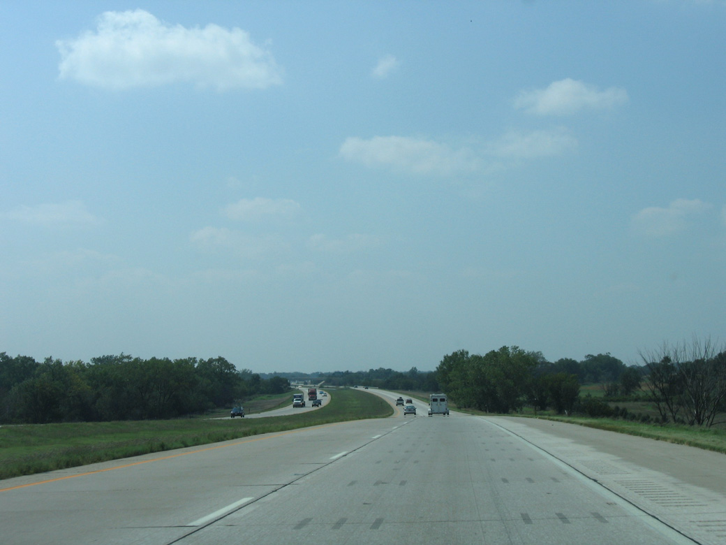
I-80/N-10 cross the North Channel of the Platte River onto Governor Island ahead of their separation at Exit 275.
09/05/05
09/05/05
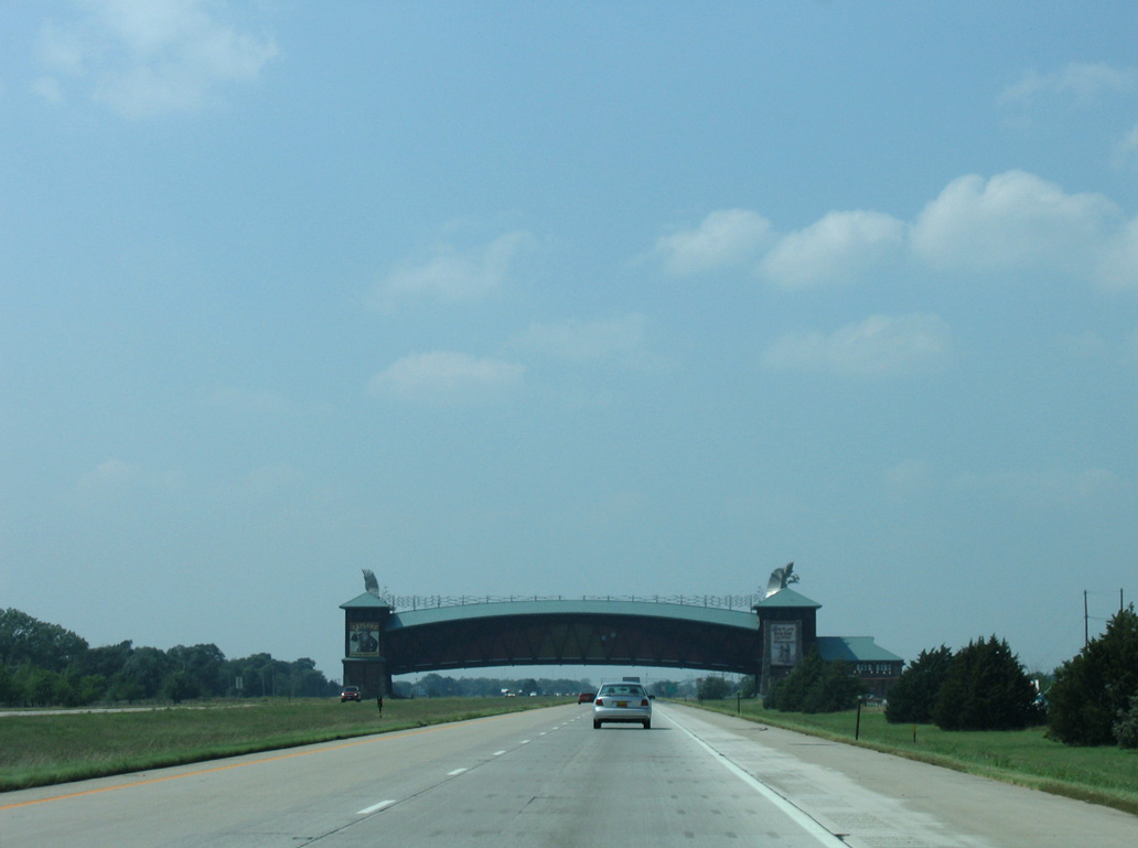
The diamond interchange with N-10 north along Kearny Expressway was constructed in 2012/13.
09/05/05
09/05/05
West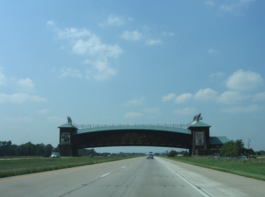
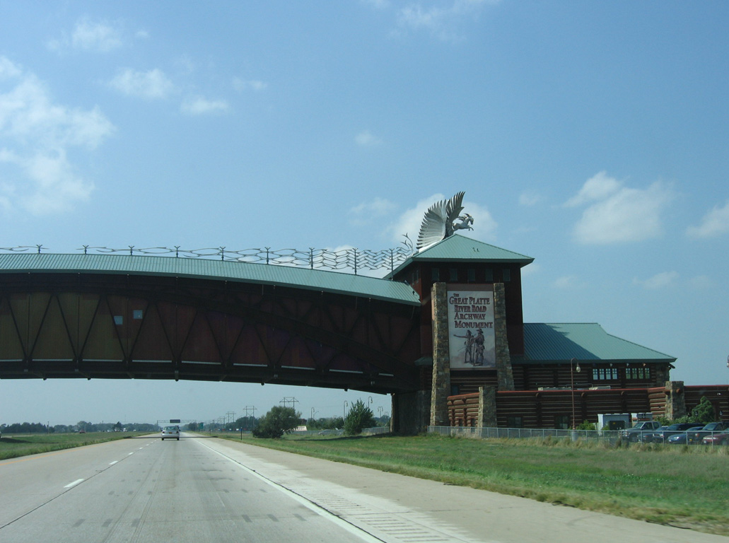
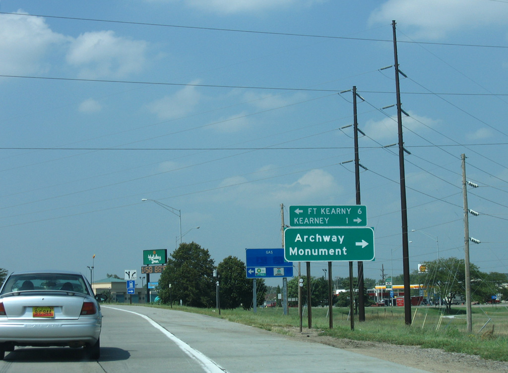
The Great Platte River Road Archway spans Interstate 80 from parallel E 1st Street.
09/05/05
09/05/05
09/05/05
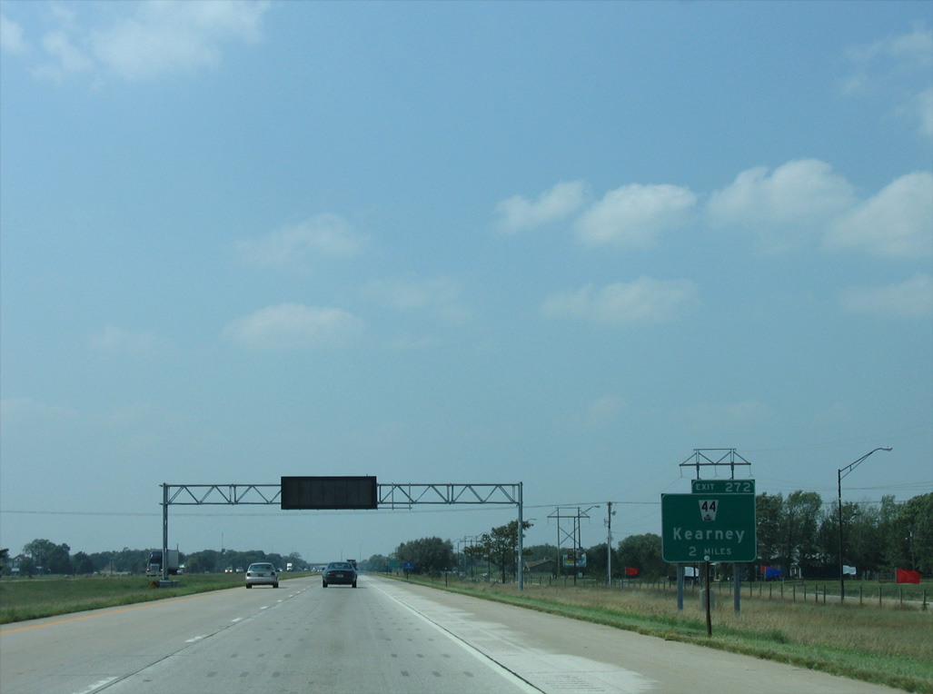
Interstate 80 continues west across Evarts Island toward the diamond interchange (Exit 272) with 2nd Avenue north and N-44 south.
09/05/05
09/05/05
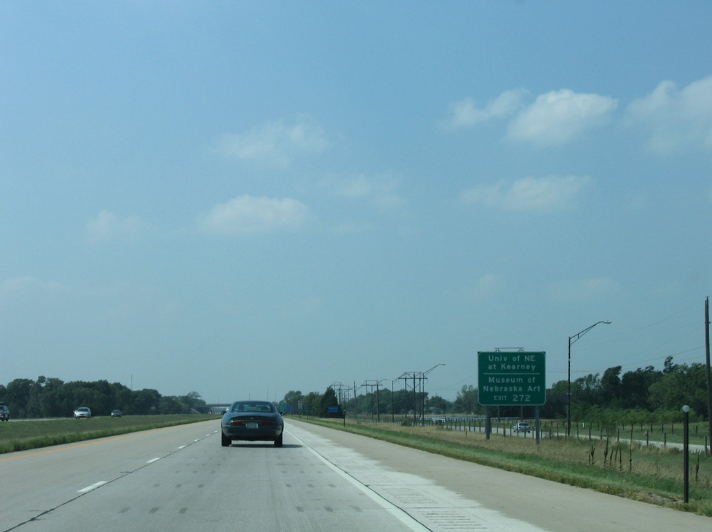
2nd Avenue north to U.S. 30 (25th Street) west leads to the University of Nebraska Kearny (UNK).
09/05/05
09/05/05
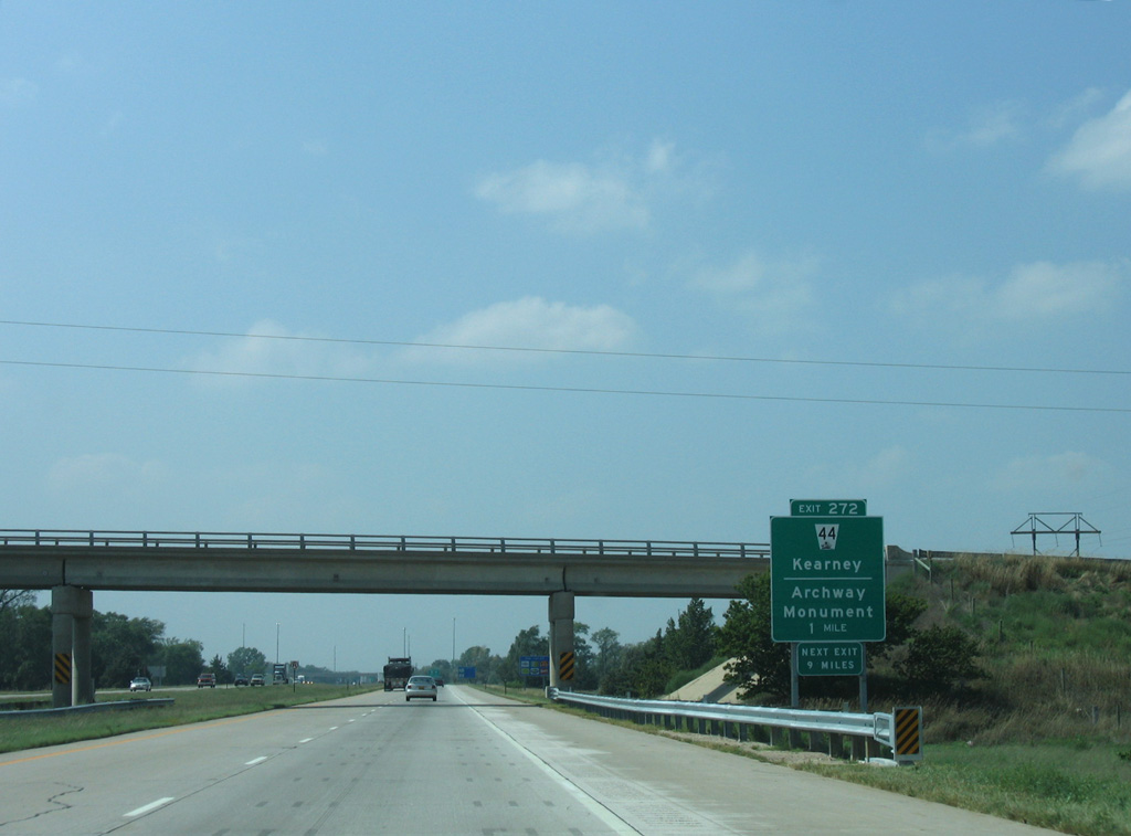
I-80 crosses Walker Channel west onto Long Island ahead of Exit 272.
09/05/05
09/05/05

N-44 travels 12.93 miles south from Interstate 80 to U.S. 6/34 between Axtell and Minden.
09/05/05
09/05/05
09/05/05

Photo Credits:
- AARoads: 09/05/05
Connect with:

Page Updated Thursday February 29, 2024.