
Nebraska Road & Highway Photo Guides

Sitemap to road and highway photo guides for Nebraska.
Interstates
 Interstate 76
8 photos
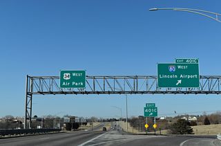
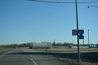
 Interstate 80
576 photos
 Interstate 129
30 photos
 Interstate 180
72 photos
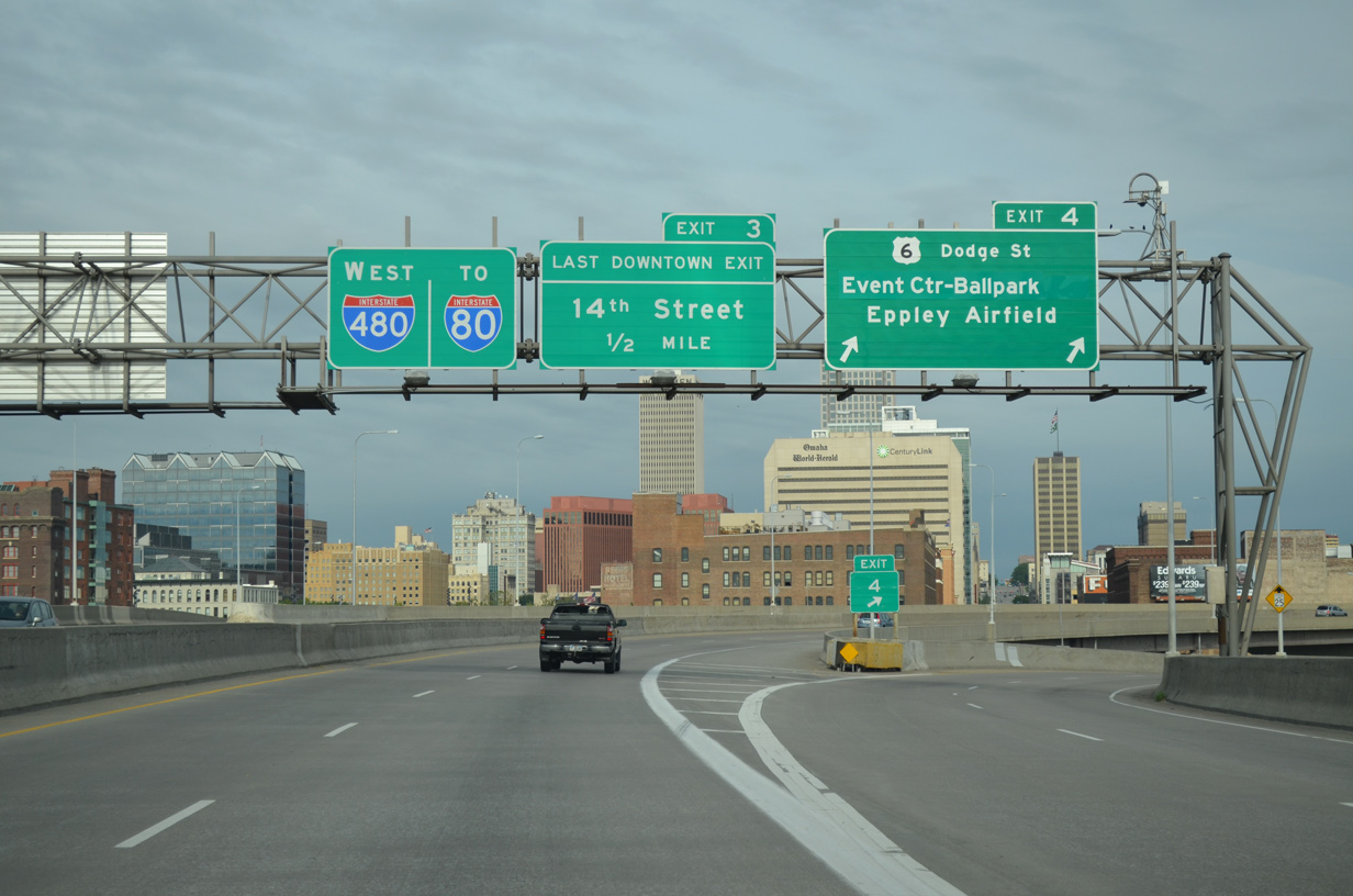
 Interstate 480
65 photos
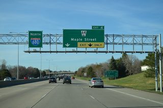
 Interstate 680
97 photos
U.S. Highways

 U.S. 6
55 photos
 U.S. 26
16 photos
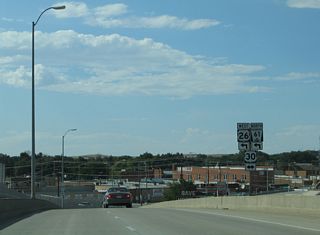
 U.S. 30
25 photos
 U.S. 34
68 photos
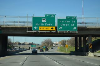
 U.S. 75
146 photos
 U.S. 77
70 photos
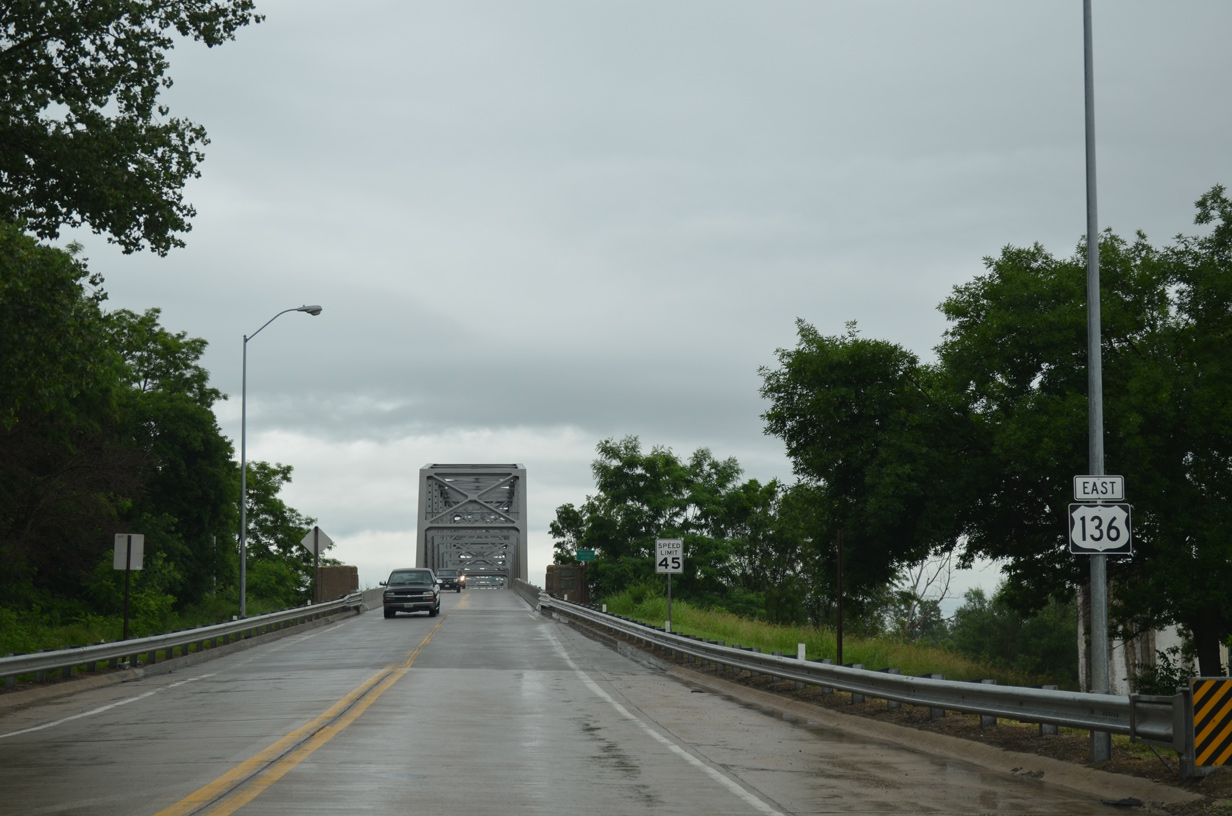
 U.S. 136
6 photos
 U.S. 138
31 photos
State Highways
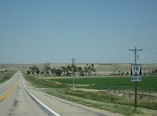
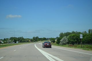
 Highway 19
22 photos
 Highway 71 - Heartland Expressway
37 photos
 Highway 92
26 photos
Secondary State Highways
 Link 25B
17 photos
Photo Coverage of Roads and Highways in Nebraska
AARoads documents highways and roads across Nebraska with route-by-route photo guides organized by direction of travel. Coverage includes Interstate Highways, U.S. Routes, Nebraska State Highways, and select Link and Spur routes.
Photo guides focus on highway signage, interchanges, route markers, city limit signs, county lines, and notable points of interest along each route. Coverage extends from the Omaha metropolitan area freeways west to rural highways connecting smaller cities and towns in the High Plains.
New and updated photos for Nebraska routes are added periodically and cataloged on the updates page.
City Guides

Omaha
13 PhotosNebraska State Highway System
Nebraska state routes are generally divided into three groups: primary, secondary links, and secondary spurs. The primary routes are usually one or two digits but sometimes are three-digit routes. The secondary system allows for connections from the primary system (Interstate, U.S., or Nebraska Primary) to towns and cities throughout the state. If the secondary route connects two routes (perhaps into or through a city or town), the secondary state route is called a "link." If the connection leads into a city or town without reconnecting to a state route, the secondary state route is called a "spur." Occasionally, a third designation for secondary state routes for connections to state parks and recreational areas is used; these are called "recreation road."
The route number for these secondary routes is determined by the county in which the route is located in alphabetical order (numbers range from 1 to 93, or from Adams to York County). A letter suffix is appended to the route number, and this helps separate multiple link and spur routes within a given county. The end result is a route number such as "L-2A," which would be the first ("A") link route in the second county (Antelope County). For more information visit Jesse Whidden's Nebraska Roads.
Photographic Contributors
Photography by Alex Nitzman, Andy Field, Brent Ivy and Peter Johnson.
About Nebraska
- Capital:
 Lincoln
 - Nickname: Cornhusker State
- Area: 77,355 square miles or 200,350 square kilometers, 15th largest
- Statehood: 37th state; admitted March 1, 1867
- Total Interstate Mileage: 481.66 miles
- Highest Point: Panorama Point (5,424 feet above sea level)
- Mining: oil, natural gas, sand, gravel, stone
- Agriculture: cattle, milk, corn, pigs/hogs, soybeans, wheat, sorghum
This page, and all the Nebraska Roads pages herein, are in no way related to the Nebraska Department of Transportation (NDOT).
Last updated: Sunday March 3, 2024