
Business Loop I-80 / State Route 647 East

 4th Street - East
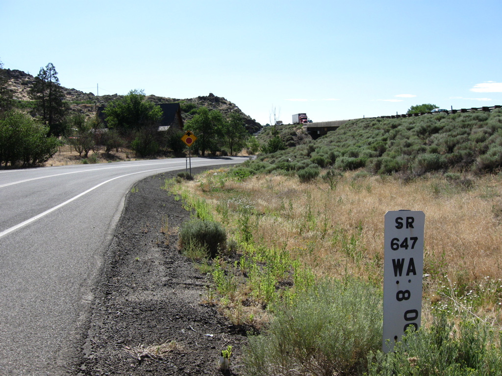
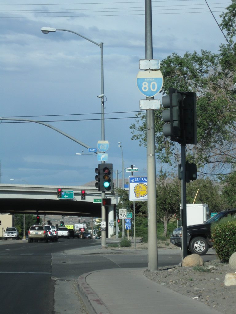
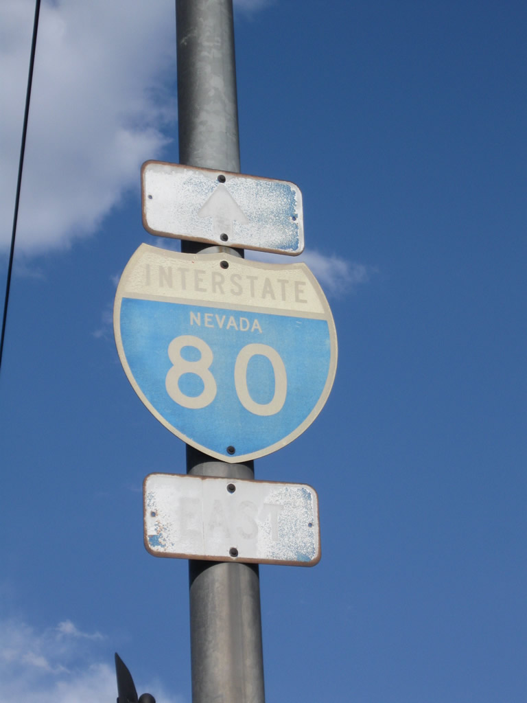
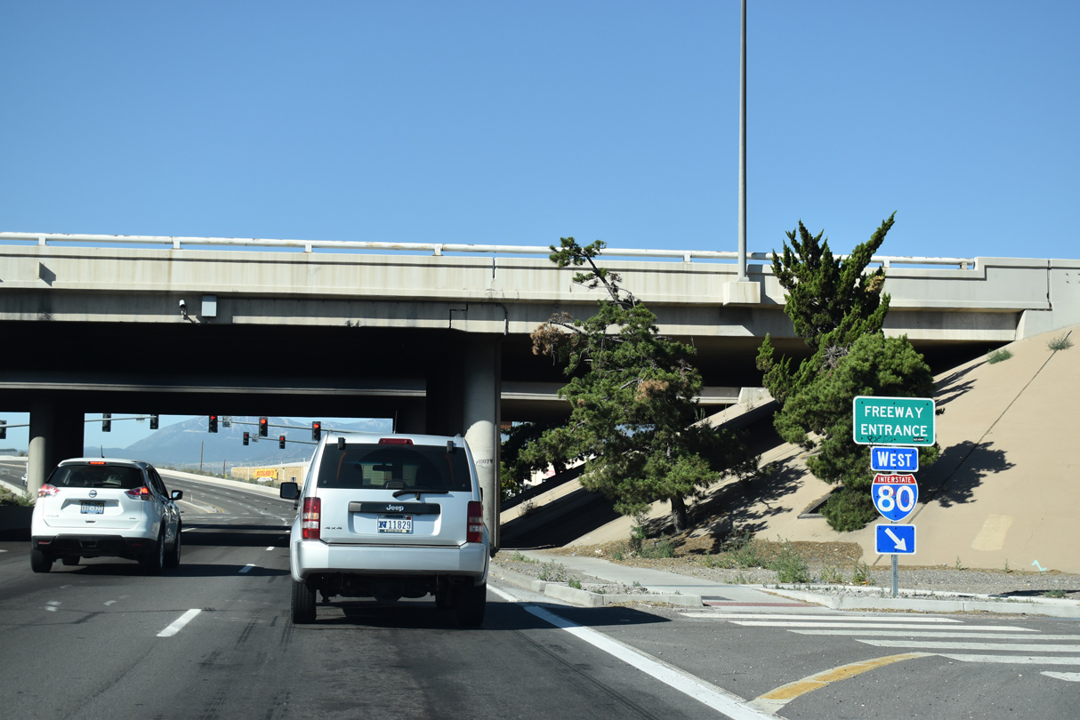
The initial milepost for SR 647 is located on the north side of I-80 where West 4th Street ties in at Exit 8.
07/19/09
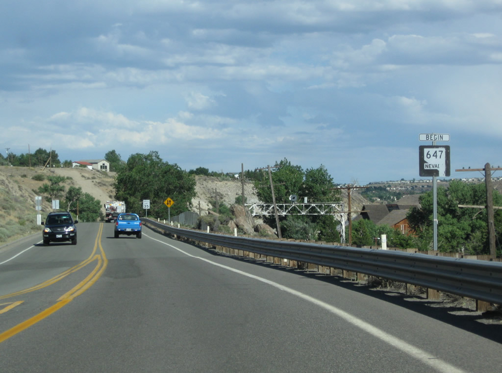
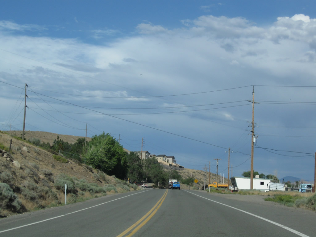
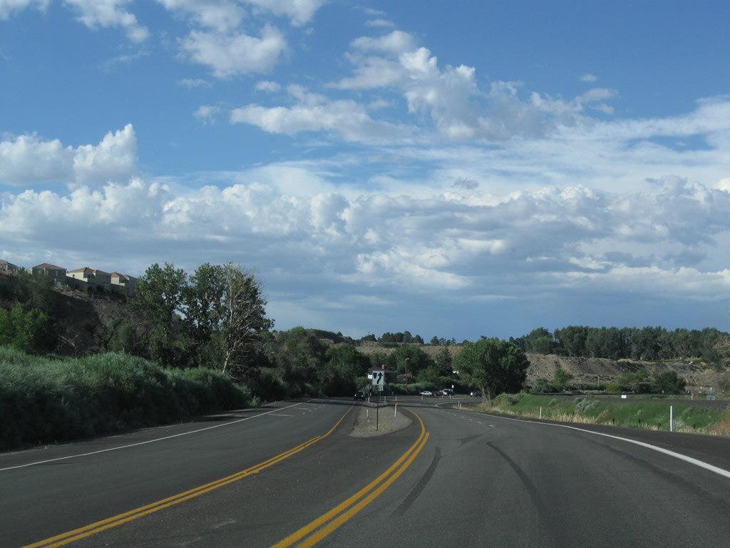
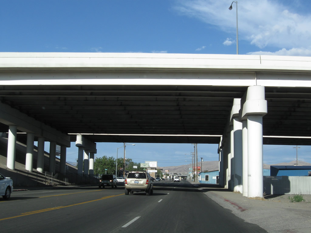
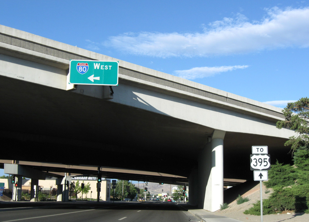
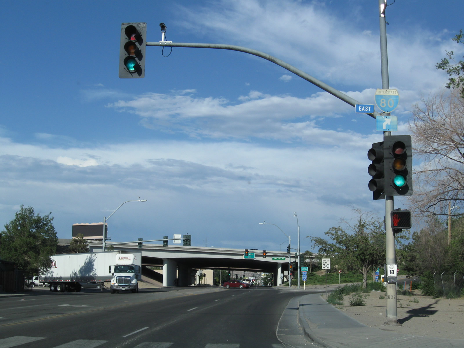
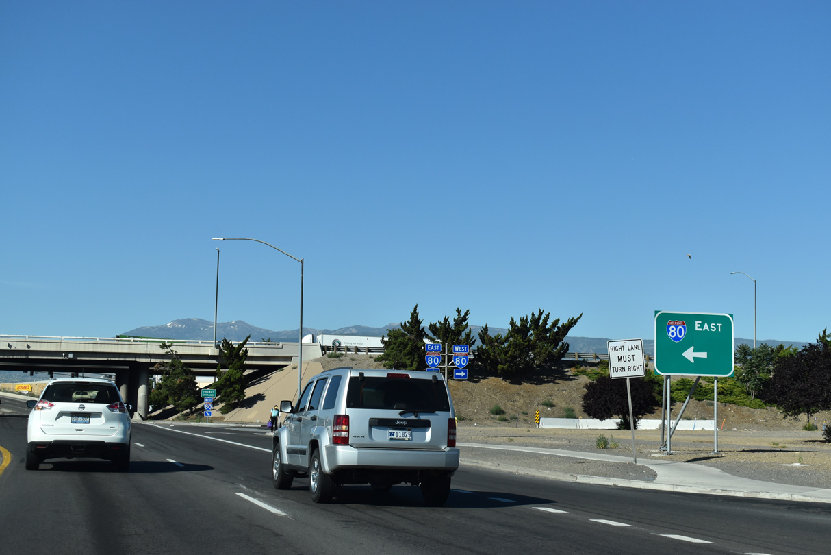
SR 647 begins from a wye interchange (Exit 8) with Interstate 80 east ahead of the Lawton area of Reno.
07/23/09
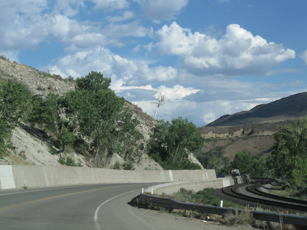
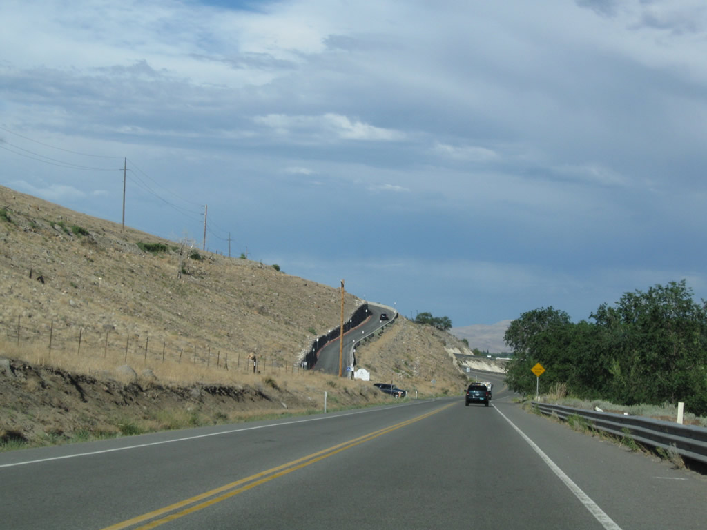
SR 647 (4th Street) initially runs alongside the Union Pacific Railroad and Truckee River.
07/23/09
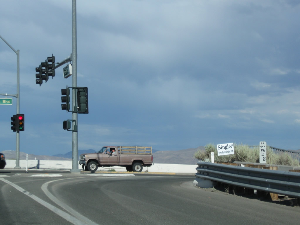
4th Street arcs east around the Mesa Park community to Woodland Avenue south and Mesa Park Road north.
07/23/09
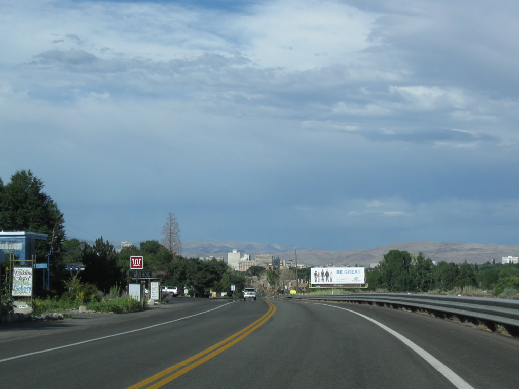
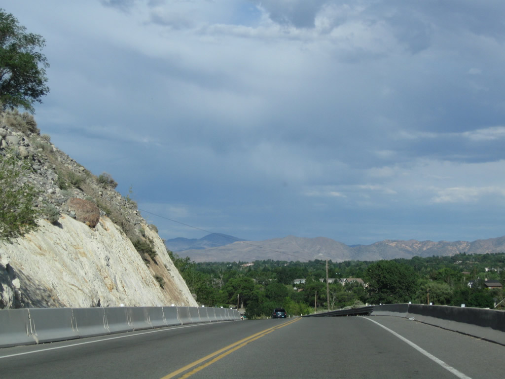
Straddling the south side of Chalk Bluff, SR 647 (4th Street) advances east between Mayberry Drive and McCarran Boulevard.
07/23/09
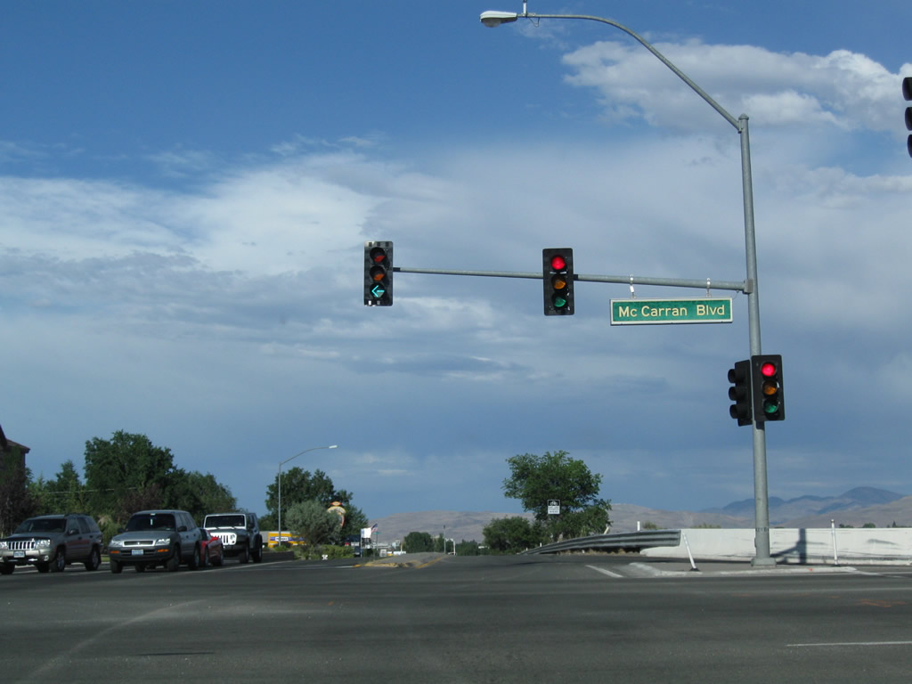
Entering the unmarked intersection with SR 659 (McCarran Boulevard) on SR 647 (4th Street) east. SR 659 encircles central Reno and Sparks along an arterial beltway.
07/23/09
SR 647 concludes at SR 659 (McCarran Boulevard). 4th Street (historic U.S. 40) continues east along the Union Pacific Railroad as a locally maintained boulevard toward Downtown Reno.
07/23/09
4th Street widens to four lanes to the intersection with Summit Ridge Drive in West Reno. Summit Ridge Road winds west to the Sage Point development and an array of apartment complexes.
07/23/09
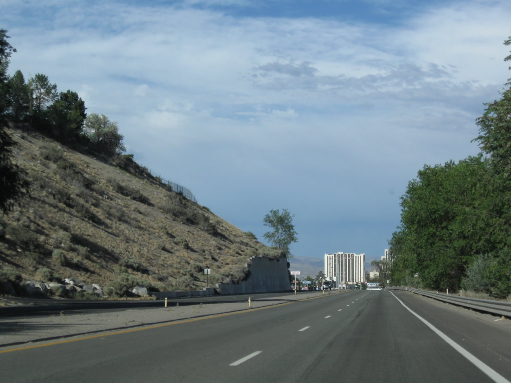
Progressing toward Downtown Reno, 4th Street (former SR 647) passes by Mountain View Cemetery.
07/23/09
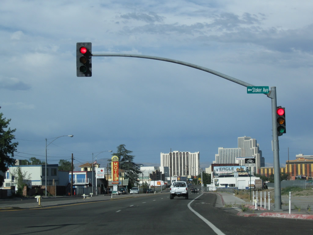
Stoker Avenue stems north from a signalized intersection with 4th Street to the Reno and Northridge Heights neighborhoods beyond Interstate 80.
07/23/09
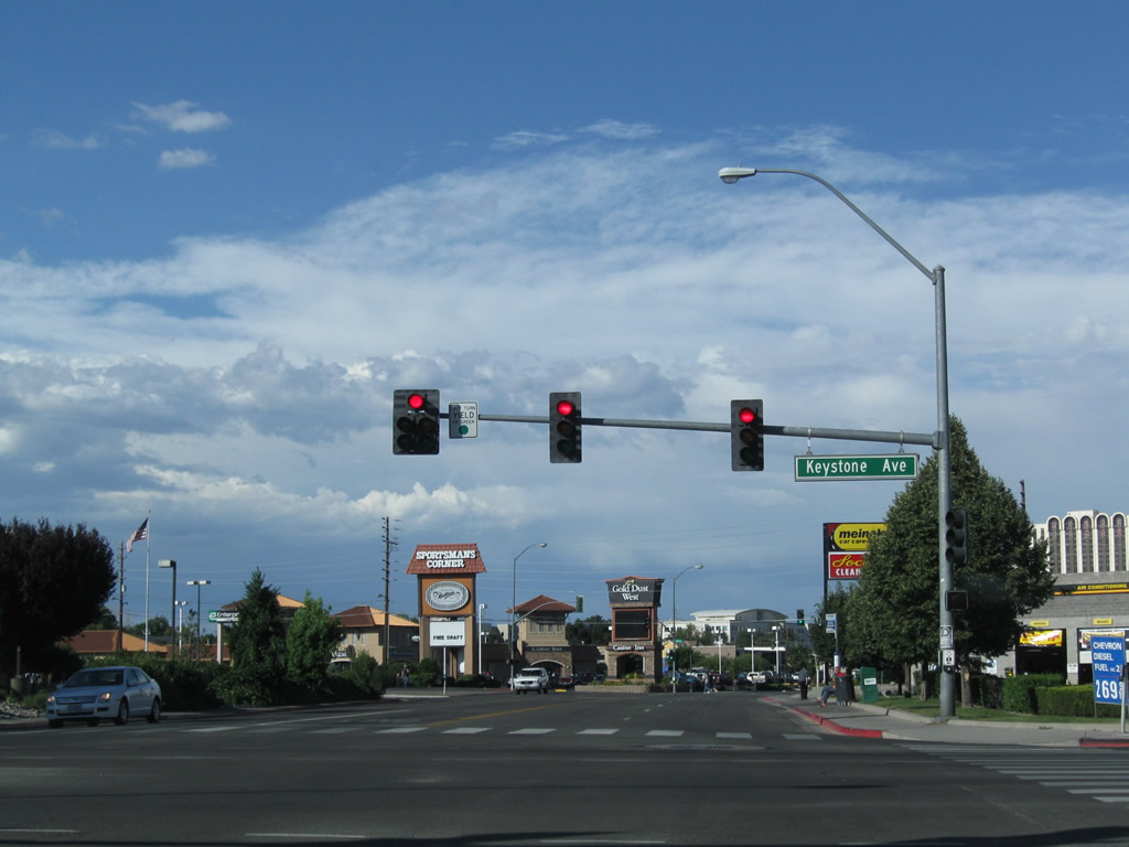
4th Street east at Keystone Avenue. Keystone Avenue leads Business Loop I-80 west back to Interstate 80 while continuing south to Reno High School and California Avenue at Newlands Heights.
09/05/10
 East
East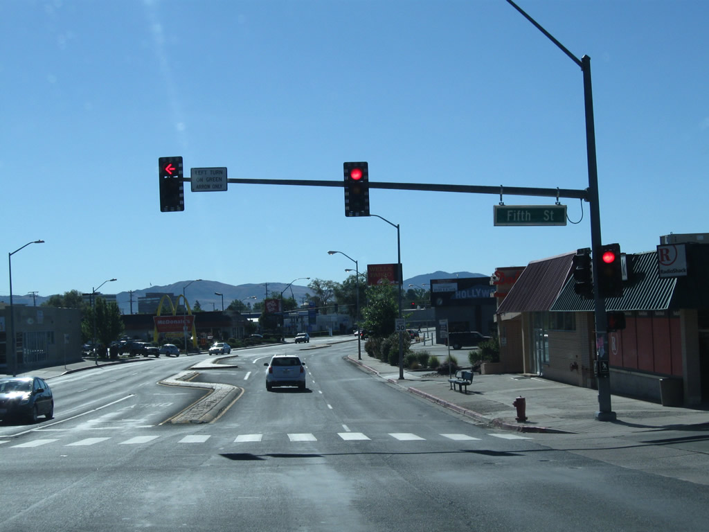
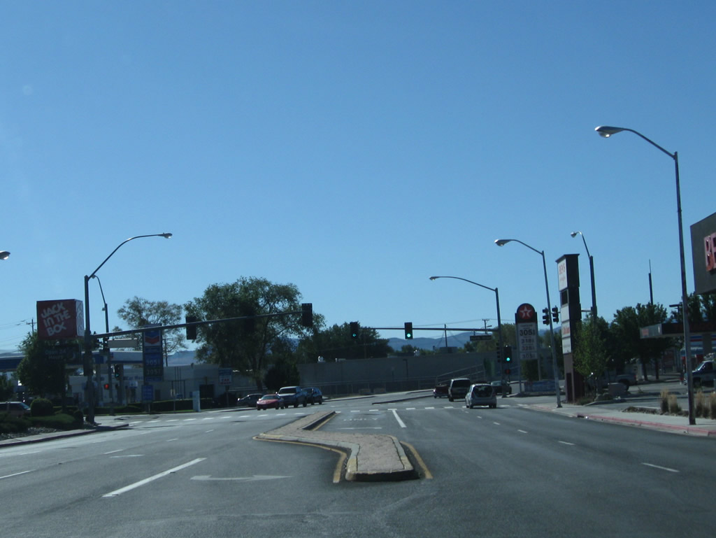
Although unsigned, Business Loop I-80 drops south along Keystone Avenue from a single point urban interchange (SPUI) with I-80 to connect with 4th Street (old SR 647). Keystone Avenue constitutes a five lane commercial arterial, intersecting 5th Street midway between the freeway and historic U.S. 40.
09/05/10
Keystone Avenue south at West 4th Street (historic U.S. 40). Business Loop I-80 turns east here toward Downtown Reno.
09/05/10
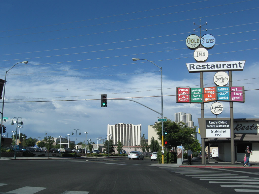
A colorful sign for the Gold-n-Silver Inn appears at the southeast corner of Business Loop I-80 (West Fourth Street) and Vine Street.
07/23/09
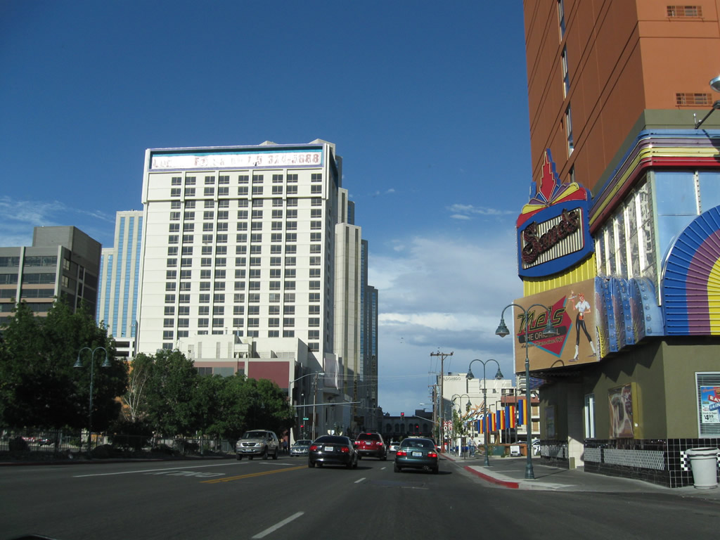
The Sands Regency Hotel Casino sits at the southeastern corner of the intersection between Business Loop I-80 (West Fourth Street) and Nevada Street.
07/23/09
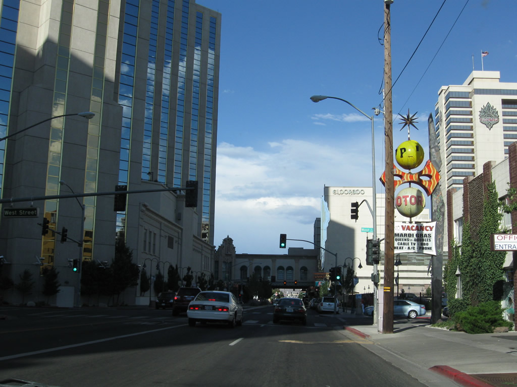
Silver Legacy Resort Casino rises along the north side of 4th Street between West and Sierra Streets.
07/23/09
The next intersection along eastbound Business Loop I-80 (Fourth Street) is with Sierra Street. Sierra Street briefly served as U.S. 395 Alternate prior to the construction of the North-South Freeway for U.S. 395.
07/23/09

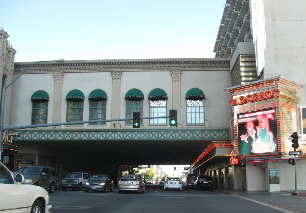
Passing under part of the structure linking the Eldorado and Silver Legacy casinos, 4th Street emerges to intersection Virginia Street. Although unmarked here, Virginia Street is U.S. 395 Business throughout much of Reno.
07/23/09
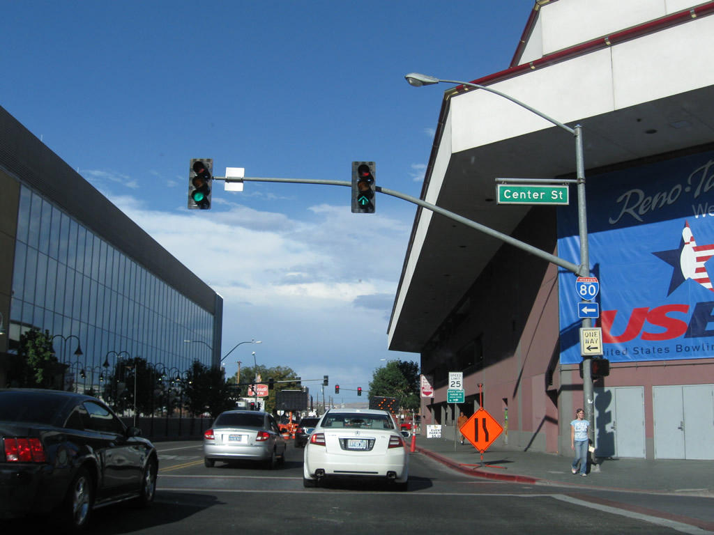
One block east of U.S. 395 Business, 4th Street intersects Center Street by the Reno Events Center and National Bowling Stadium.
07/23/09
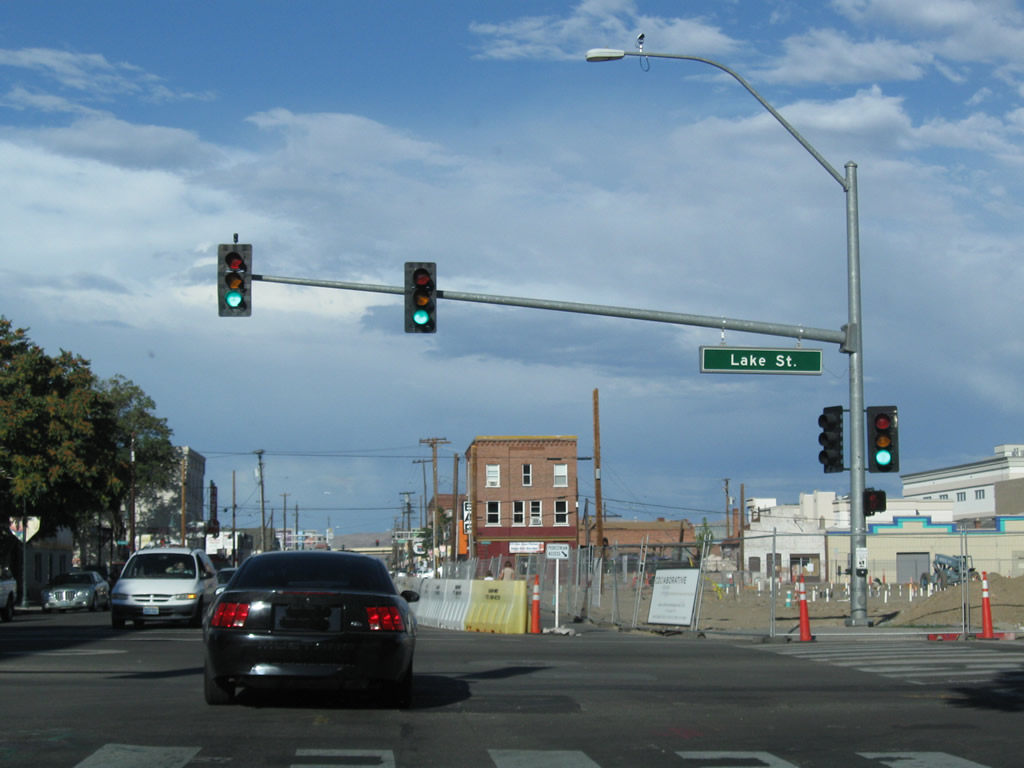
Passing between the Reno Events Center and National Bowling Center, 4th Street next meets Lake Street by the RTC 4th Street Station. The Old Reno Arch spans Lake Street one third of a mile to the south.
07/23/09
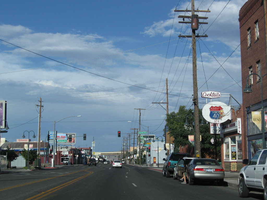
Leaving Downtown Reno, eastbound Business Loop I-80 (Fourth Street) approaches Valley Road at the succeeding traffic signal.
07/23/09
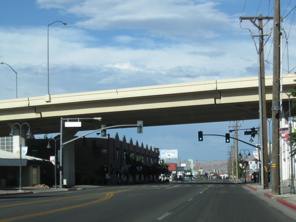
The Wells Avenue viaduct, completed in 1991, spans Business Loop I-80 (4th Street), 5th Street and the Union Pacific Railroad north from the Truckee River to I-80 at Exit 14.
07/23/09
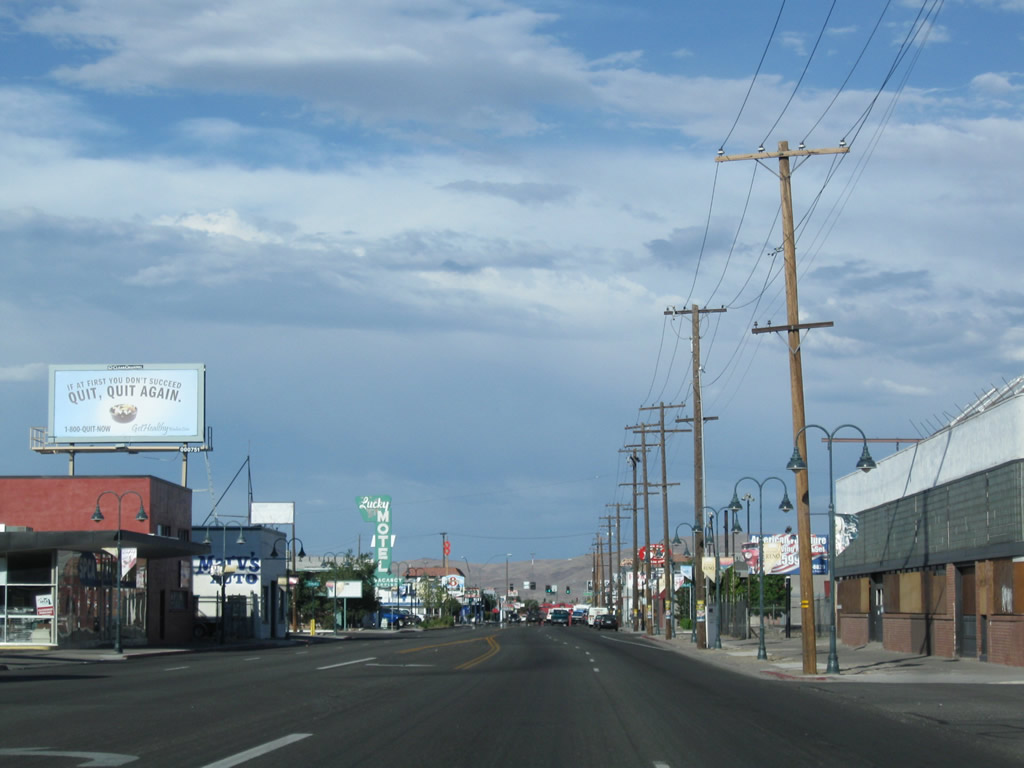
Strip malls and businesses line Fourth Street beyond the Wells Avenue viaduct.
07/23/09
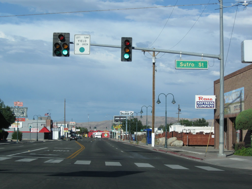
Sutro Street extends north from Kirman Avenue and Renown Regional Medical Center to meet 4th Street at this signal.
07/23/09
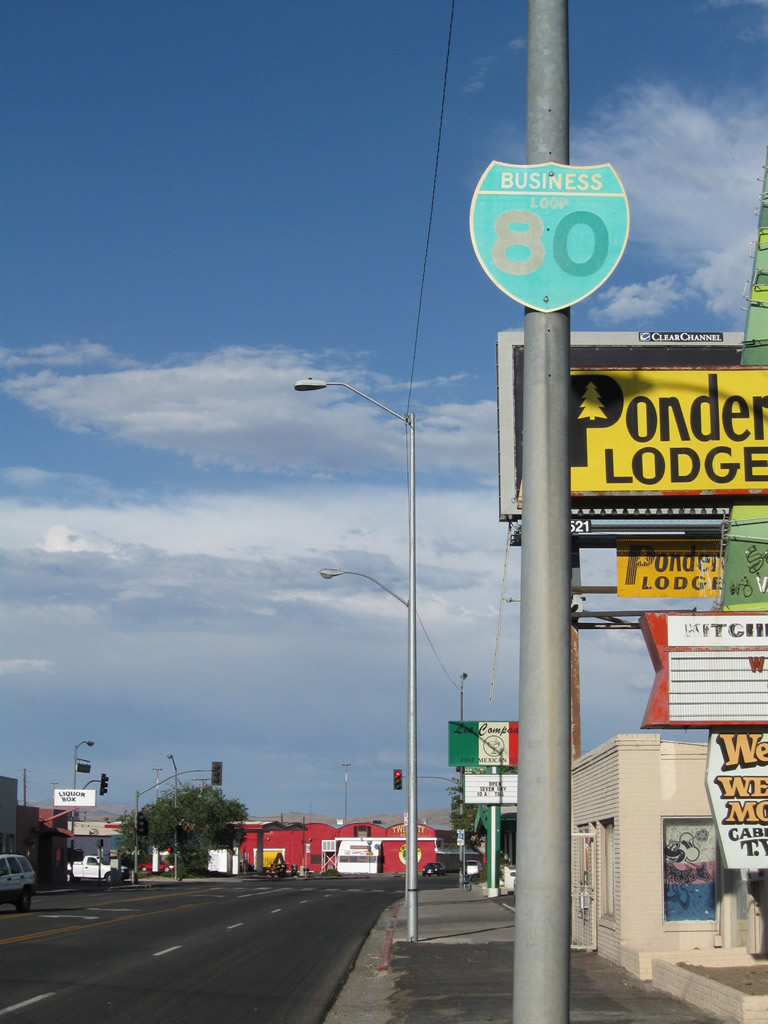
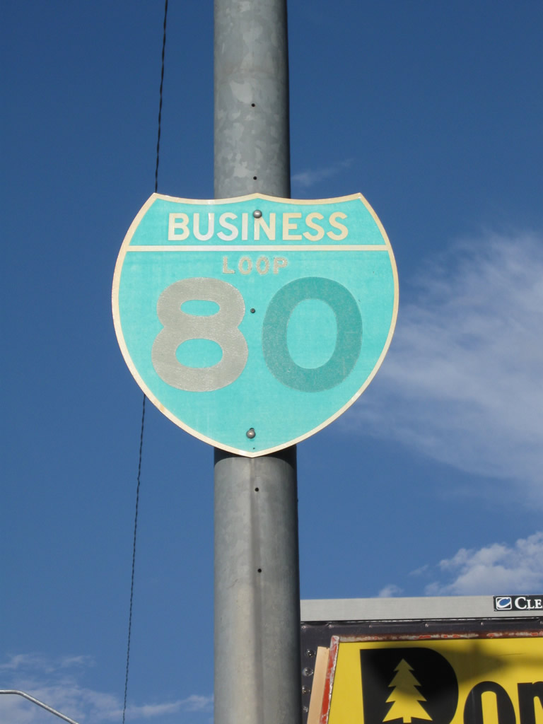
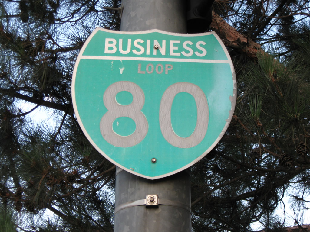
The first reassurance shield for Business Loop I-80 appears at East 4th and Montello Streets. Still standing as of summer 2017, the marker was sun bleached white by then.
07/23/09
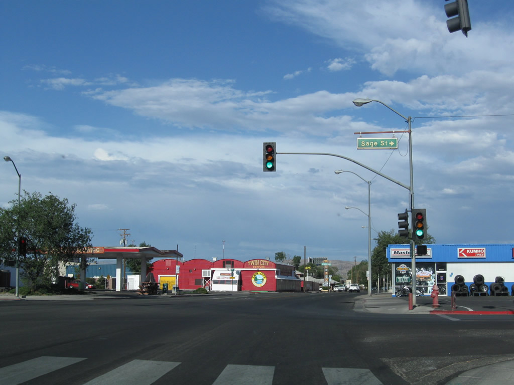
East 6th Street and Sage Street north come together at the ensuing eastbound signal along Business Loop I-80 eastbound.
07/23/09
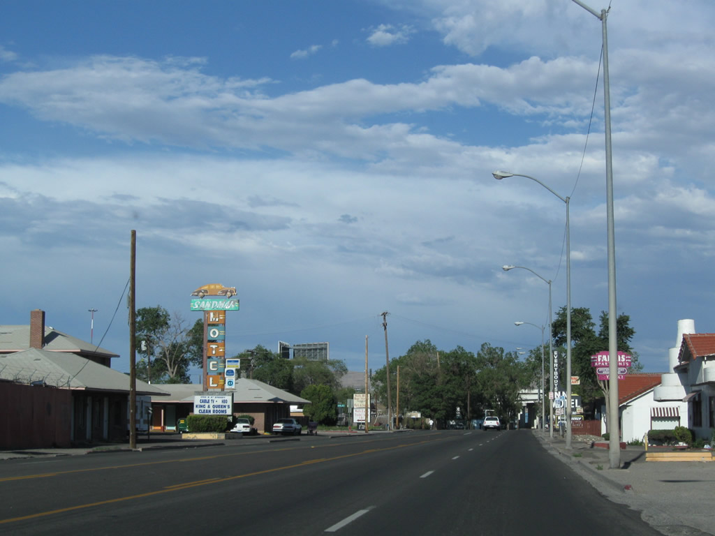
Traveling by a neon marquee for the Sandman Motel along 4th Street east of Line Drive north to Governors Bowl Park.
07/23/09
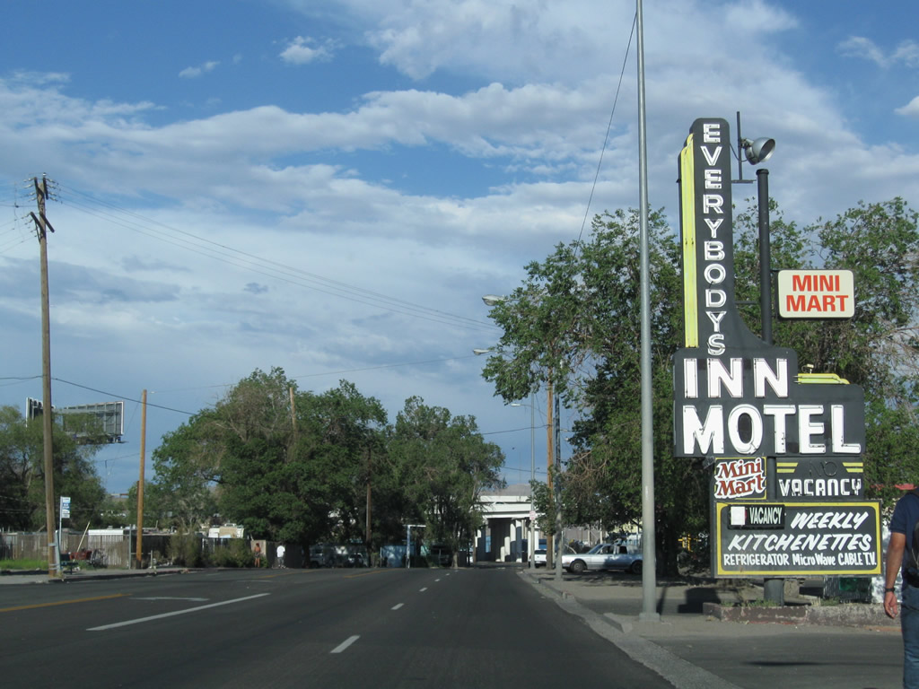
Owing to its heritage as the original route of U.S. 40 into Reno, another old neon motel marquee appeared along 4th Street at Threlke Street. This motel closed after 2011.
07/23/09
4th Street travels just south of the Spaghetti Bowl interchange joining Interstates 80 and 580. There is no direct access from Old U.S. 40 to I-580/U.S. 395 (Martin Luther King, Jr. Memorial Highway) at this point.
07/23/09
Business Loop I-80 intersects Galletti Way at the Sparks city line. Vintage trailblazers here precede the diamond interchange (Exit 16) with Interstate 80.
07/23/09
East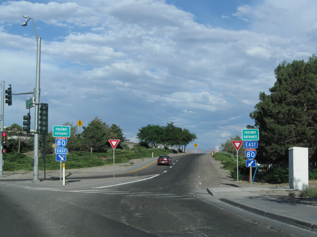
The 0.182 mile segment of SR 647 overlays Business Loop I-80 Prater Way) east through the exchange with Interstate 80.
07/23/09
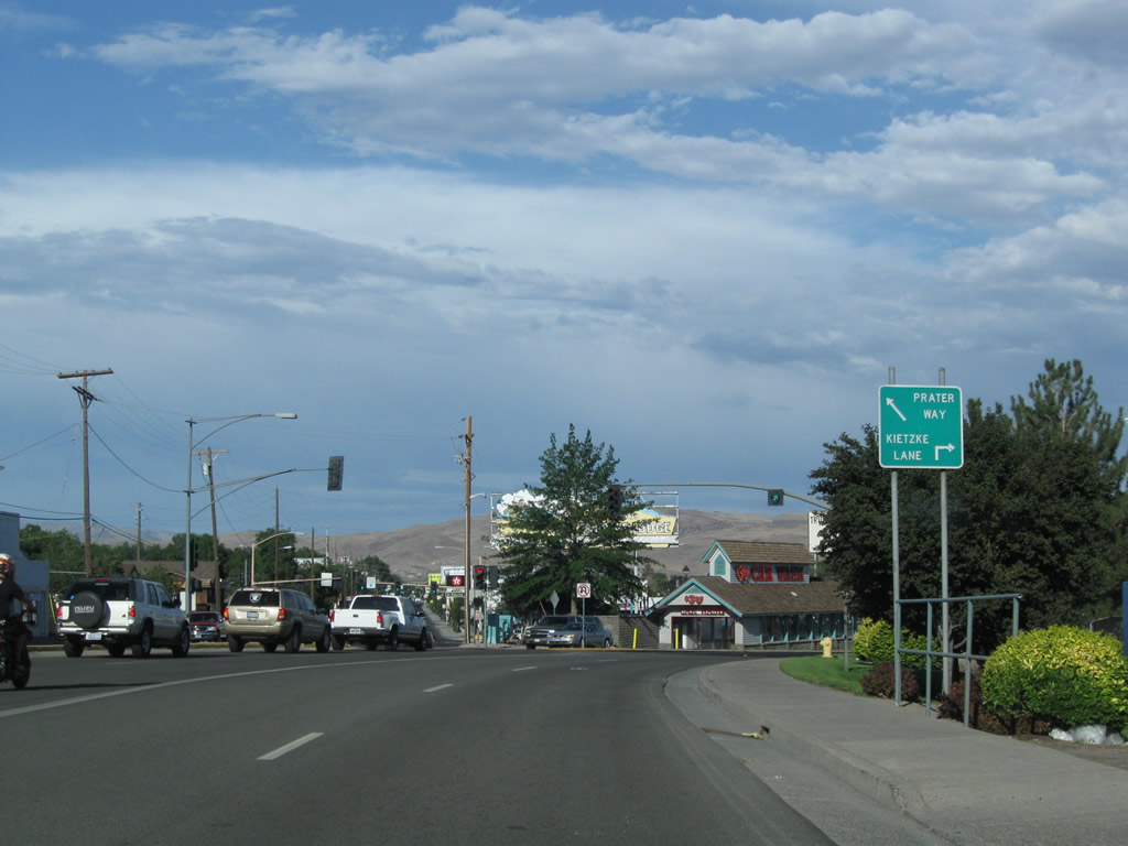
Prater Way advances east below I-80 to the westbound on-ramp for West Reno, Verdi and Sacramento, California. There is no access to the Spaghetti Bowl interchange with I-580 south and U.S. 395 from this entrance ramp.
07/18/09
East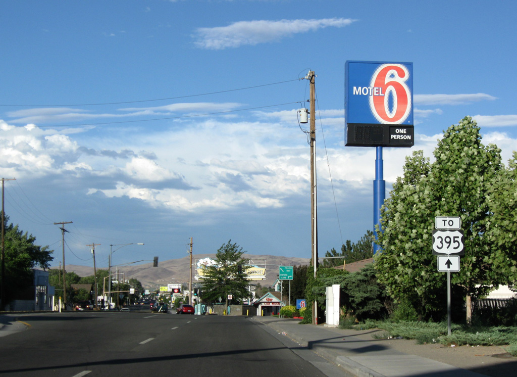
A U.S. 395 trailblazer directs motorists eastward toward forthcoming Kietzke Lane (former SR 667) south. A nearby on-ramp connects Kietzke Lane with the Spaghetti Bowl interchange.
07/18/09
Victorian Way (Business Loop I-80) separates from Prater Way east. Prater Way was formerly a part of SR 646 east to SR 445 (Pyramid Way).
07/23/09

A confirming marker for Business Loop I-80 appears at Victorian Avenue (old U.S. 40) split from Prater Way.
07/18/09
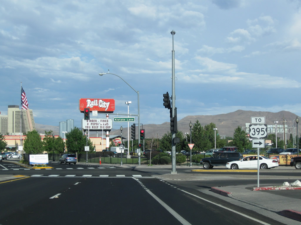
El Rancho Drive intersects Victorian Way south opposite Kietzke Lane. Kietzke Lane becomes SR 667 south of the ramp to I-580 & U.S. 395 south to Carson City and U.S. 395 north to Susanville, California at Galetti Way.
07/23/09
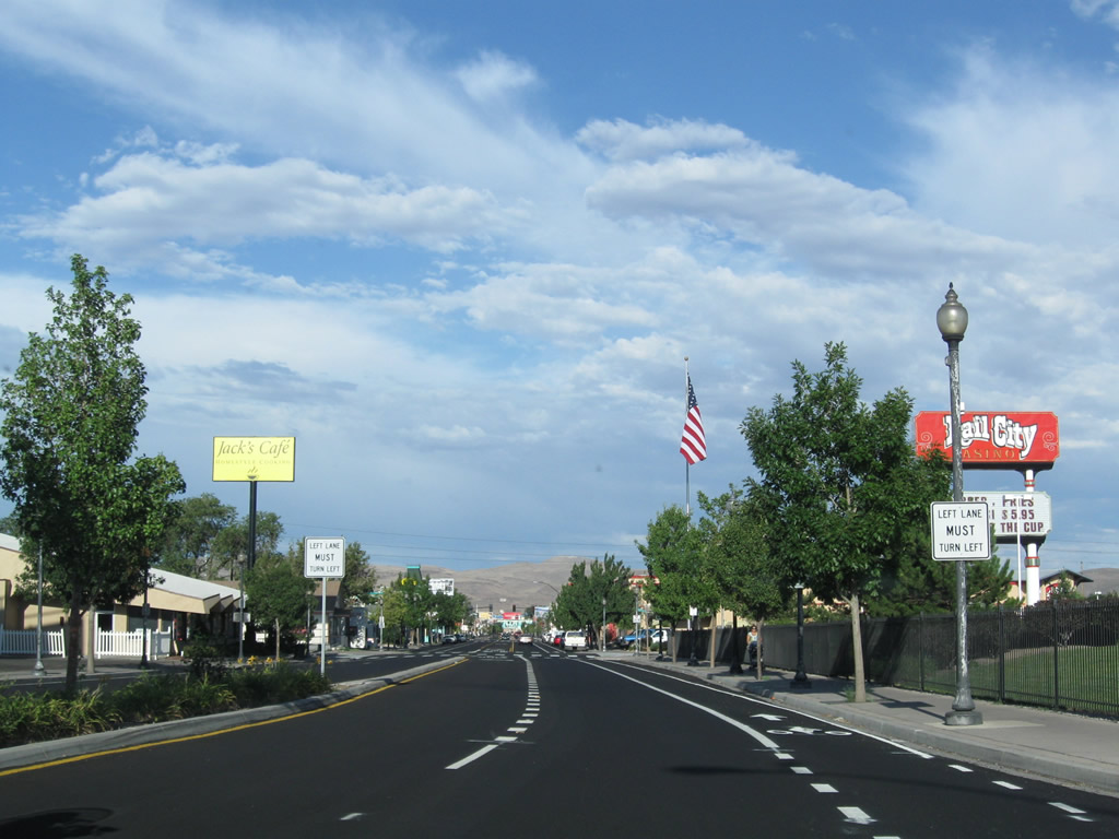
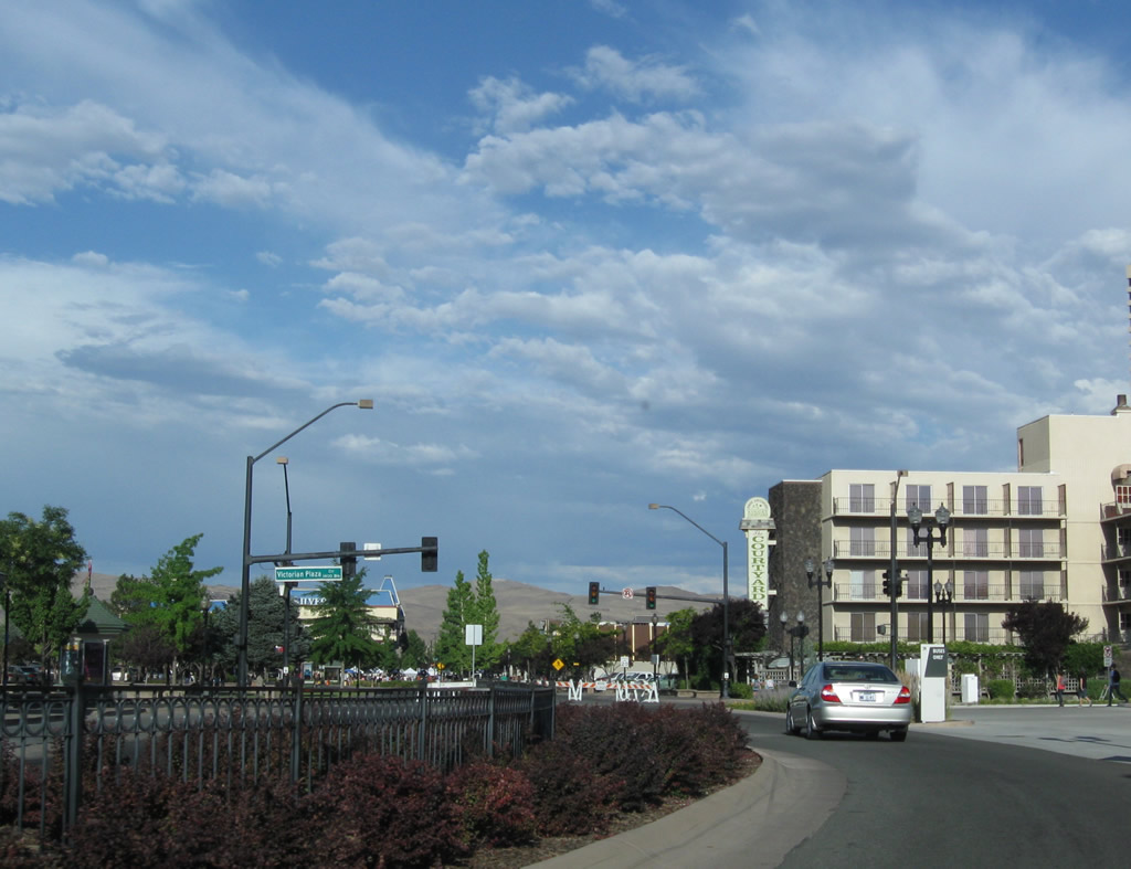
A streetscape project created a landscaped median along Business Loop I-80 (Victorian Avenue) east from Kietzke Lane to 22nd Street near the Rail City casino.
07/23/09

The next traffic signal along Business Loop I-80 (Victorian Avenue) east is with 21st Street.
07/23/09
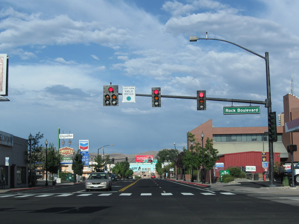
Rock Boulevard travels south from residential areas north of Prater Way to become unsigned SR 668 between Victorian Way and Hymer Avenue. Rock Boulevard extends south to SR 648 through industrial areas beyond I-80 and the Union Pacific Railroad.
07/23/09
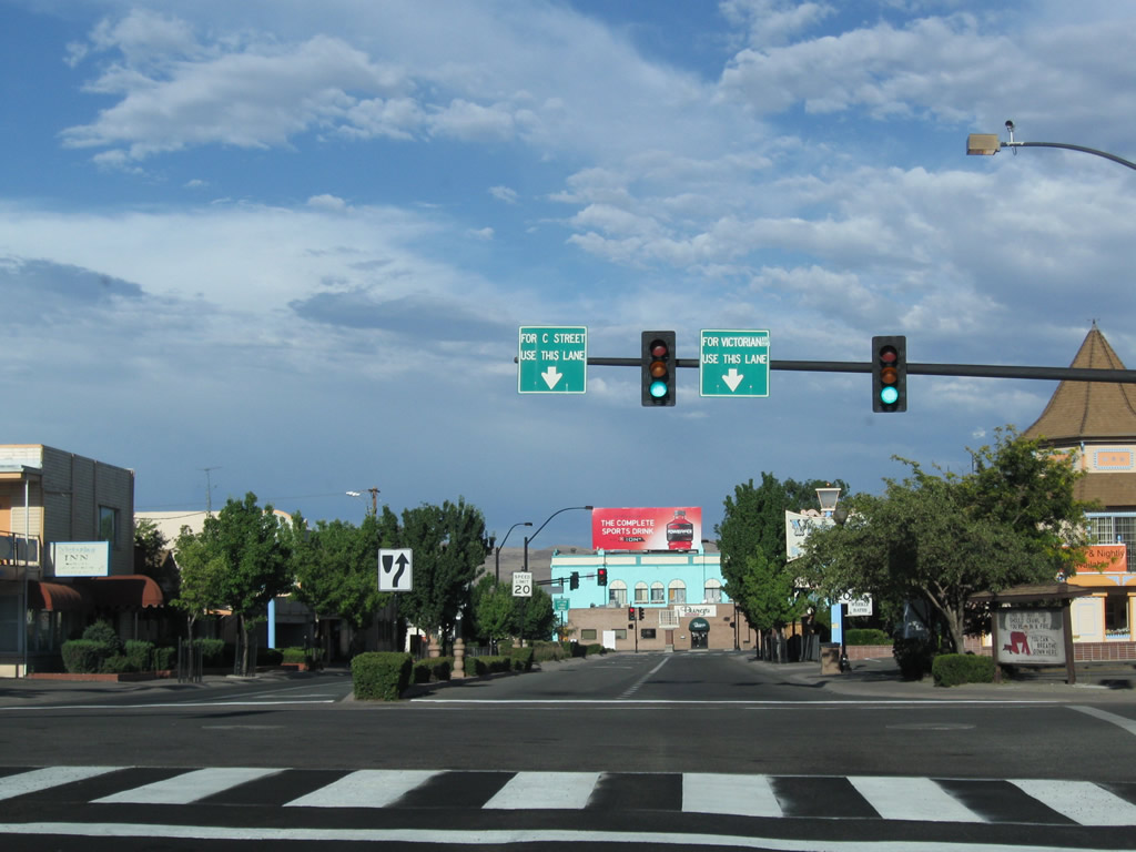
Overheads at 16th Street outline the forthcoming lane drop along Victorian Way east at 15th Street. 15th Street stems north from Business Loop I-80 to adjacent C Street, Prater Way and Sparks High School.
07/23/09
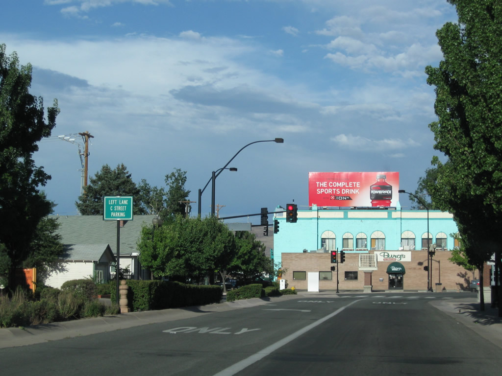
Entering Victorian Square, the left lane turns onto 15th Street north with a connection C Street east to Avenue of the Oaks and the parking garage for Victorian Square.
07/23/09
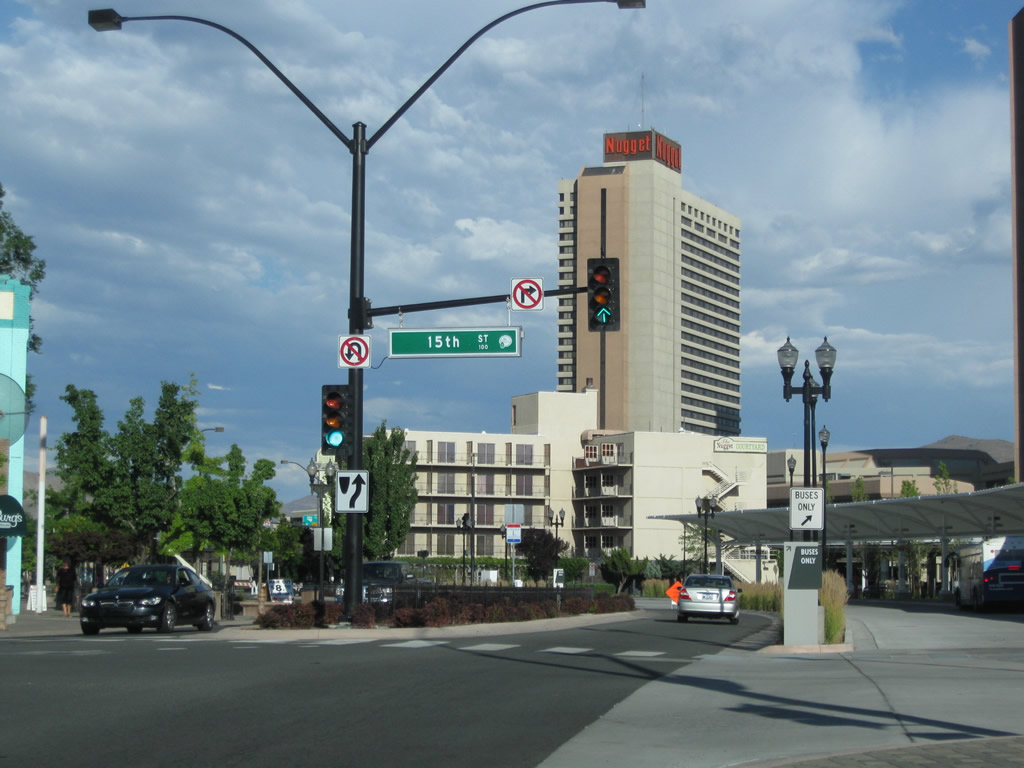
The Nuggett Casino rises from the south side of I-80 as Victorian Way shifts south at 15th Street.
07/23/09
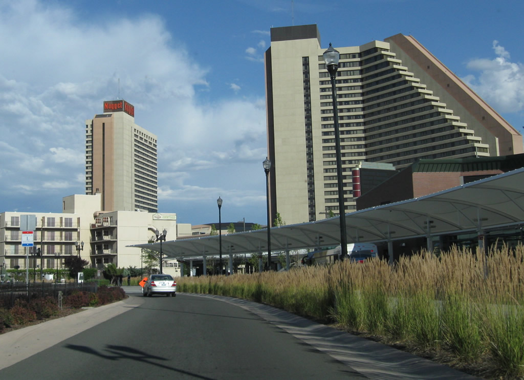
A Lincoln Highway trailblazer stands within the median of Victorian Avenue by Victorian Square and RTC Centennial Plaza.
07/23/09
Victorian Plaza Circle intersects Business Loop I-80 north from the Nuggett Casino at Victorian Square.
07/23/09
SR 659 (McCarran Boulevard) returns Business Loop I-80 east from Victorian Avenue to Interstate 80 at a parclo interchange.
07/11/18
SR 659 (McCarran Boulevard) arcs south from I-80 and Victorian Way through industrial areas of Sparks and the east side of Reno-Tahoe International Airport (RNO).
07/11/18
Photo Credits:
- ABRoads: 07/18/09, 07/19/09, 07/23/09, 07/11/18
- Andy Field: 07/23/09, 09/05/10
Connect with:
Page Updated Tuesday July 24, 2018.