
Business Loop I-80 / State Route 427 West

 West
West  South
South
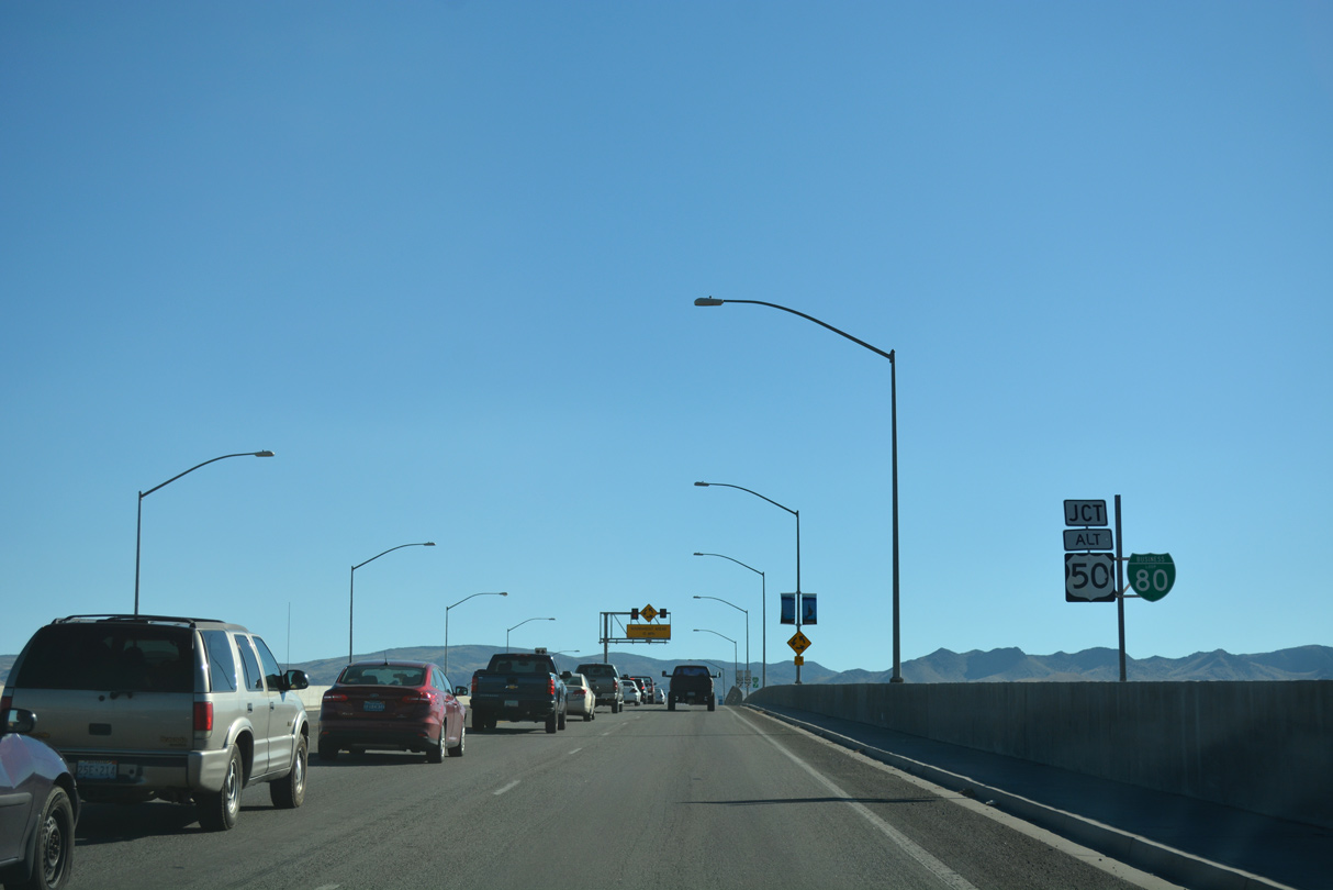
Truck Inn Way ties into the diamond interchange joining Interstate 80 and U.S. 95 Alternate with Business Loop I-80 in east Fernley.
07/17/17
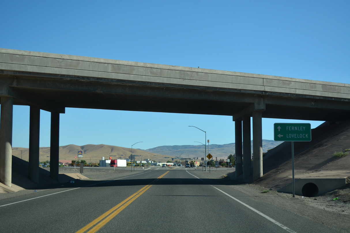
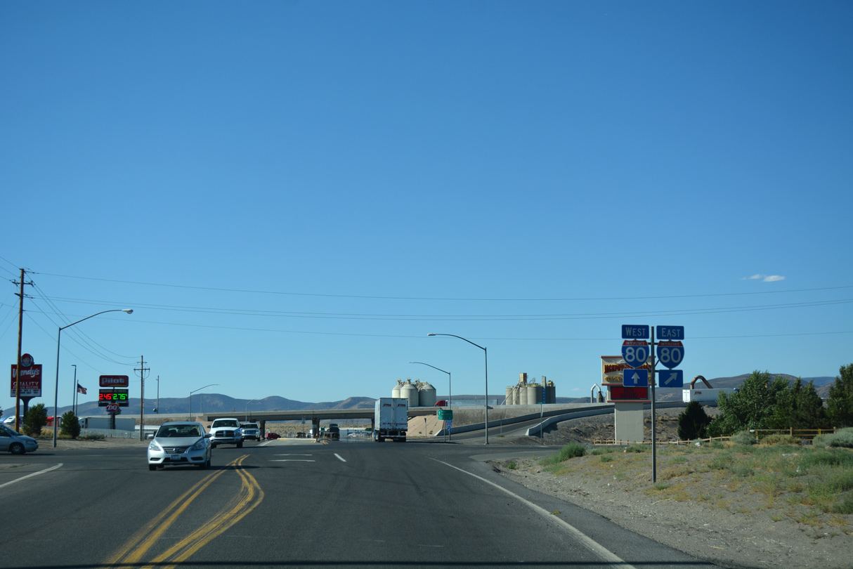
Passing under the I-80 mainline, motorists proceed to the eastbound on-ramp for I-80 and U.S. 95 Alternate north toward Lovelock.
07/17/17
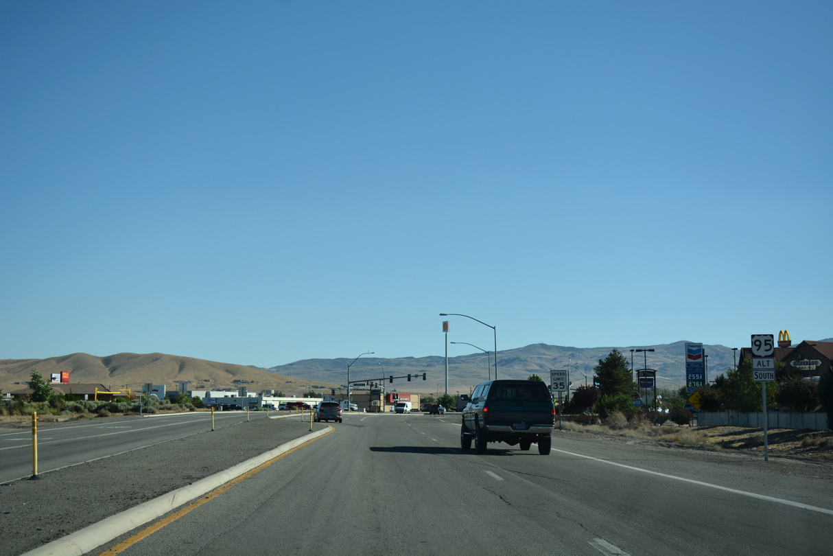
Business Loop I-80/U.S. 95 ALT expand into a four lane commercial arterial between I-80 and the Union Pacific Railroad viaduct.
07/17/17
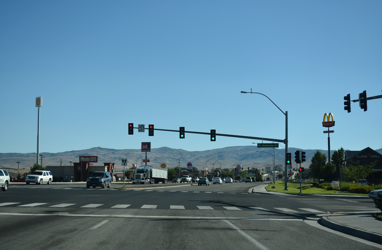
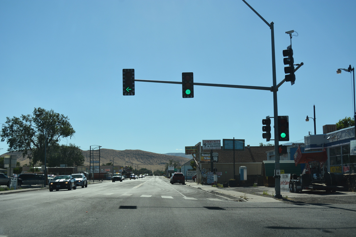
Newlands Drive heads west from Nevada Pacific Boulevard and Crossroads Commerce Center to meet Business Loop I-80 at this traffic light by big box retail.
07/17/17
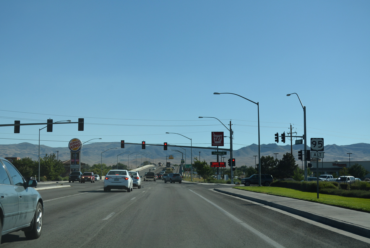
Fremont Street intersects Business Loop I-80 westbound beyond a reassurance marker for U.S. 95 Alternate south. Fremont Street leads west from Chisholm Trail and Fernley Village Marketplace retail plaza to neighborhood areas.
07/17/17
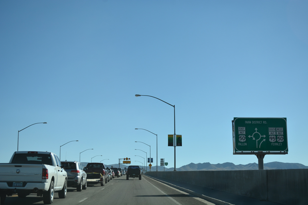
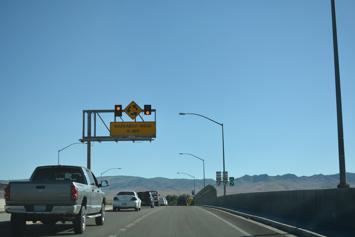
U.S. 50 Alternate enters the forthcoming Fernley Roundabout from U.S. 50 via Hazen, 17 miles to the east at Lahontan Valley. Farm District Road is a residential loop extending south and east from Main Street as SR 828.
07/17/17
The first shield for Business Loop I-80 precedes the western turn onto Main Street (U.S. 50 Alternate).
07/17/17
The forthcoming Fernley Roundabout lies northwest of Fernley Out of Town Park and northeast of the Villa Park subdivision.
07/17/17
Ascending across the viaduct over the Union Pacific Railroad built in 2006, Business Loop I-80/U.S. 95 ALT advance toward the Fernley Roundabout with Main Street and Farm District Road south.
07/17/17
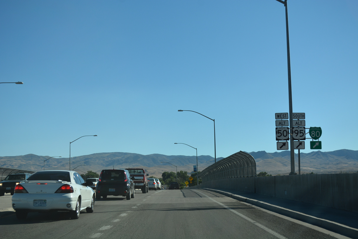
Business Loop I-80/U.S. 95 ALT combine with U.S. 50 ALT 1.25 miles west along Main Street (historic U.S. 40) through the Fernley business district.
07/17/17
 West South
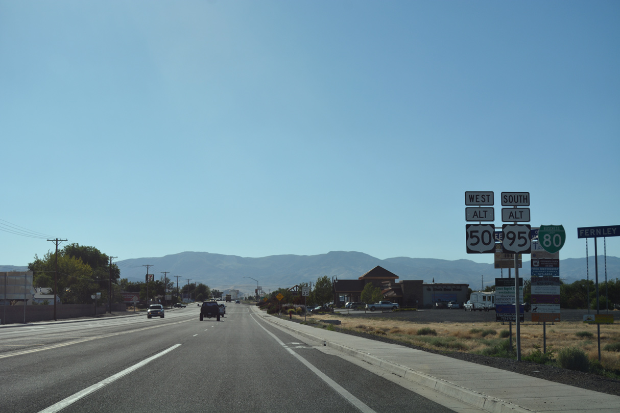
Confirming markers for Business Loop I-80/U.S. 50-95 ALT posted after they combine along Main Street westbound.
07/17/17
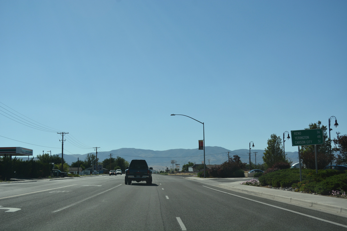
Distance sign posted along Main Street west at 7th Street, referencing destinations for Business Loop I-80 west back to I-80 for Reno, U.S. 95 Alternate south to Yerington and U.S. 50 Alternate's connection with U.S. 50 west from Silver Springs to Carson City.
07/17/17
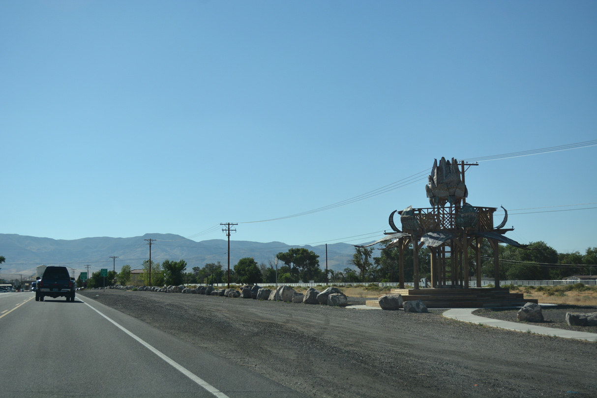
Completed in 2014, the Bottlecap Gazebo lines the north side of Main Street between Lois Lane and Silver Lace Boulevard. Comprised of bottlecaps and designed by artists Max Poynton and Andrew Grinberg, the sculpture represents a canopy of flowers.1
07/17/17
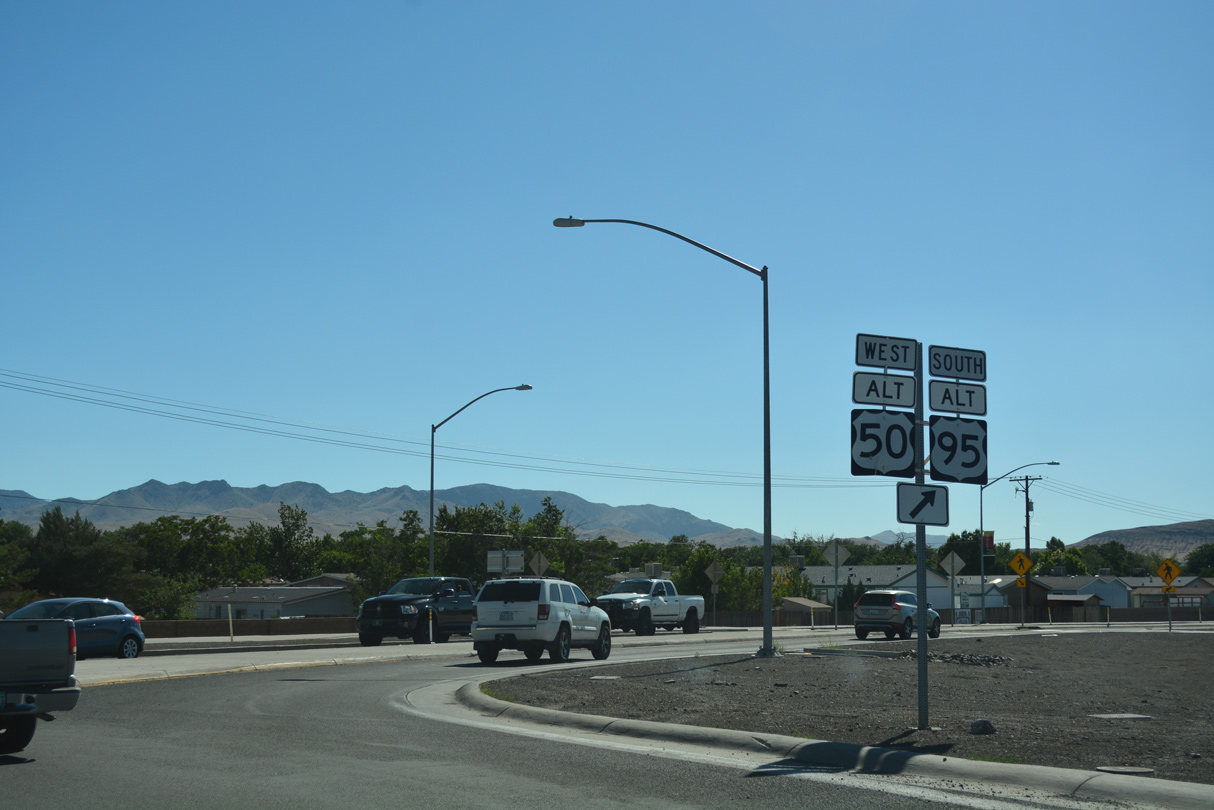
U.S. 50-95 Alternate partition with Business Loop I-80 (Main Street) at East Street in Downtown Fernley. The bannered routes travel 14 miles south across the Virginia Range to U.S. 50 at Silver Springs.
07/17/17
 West
West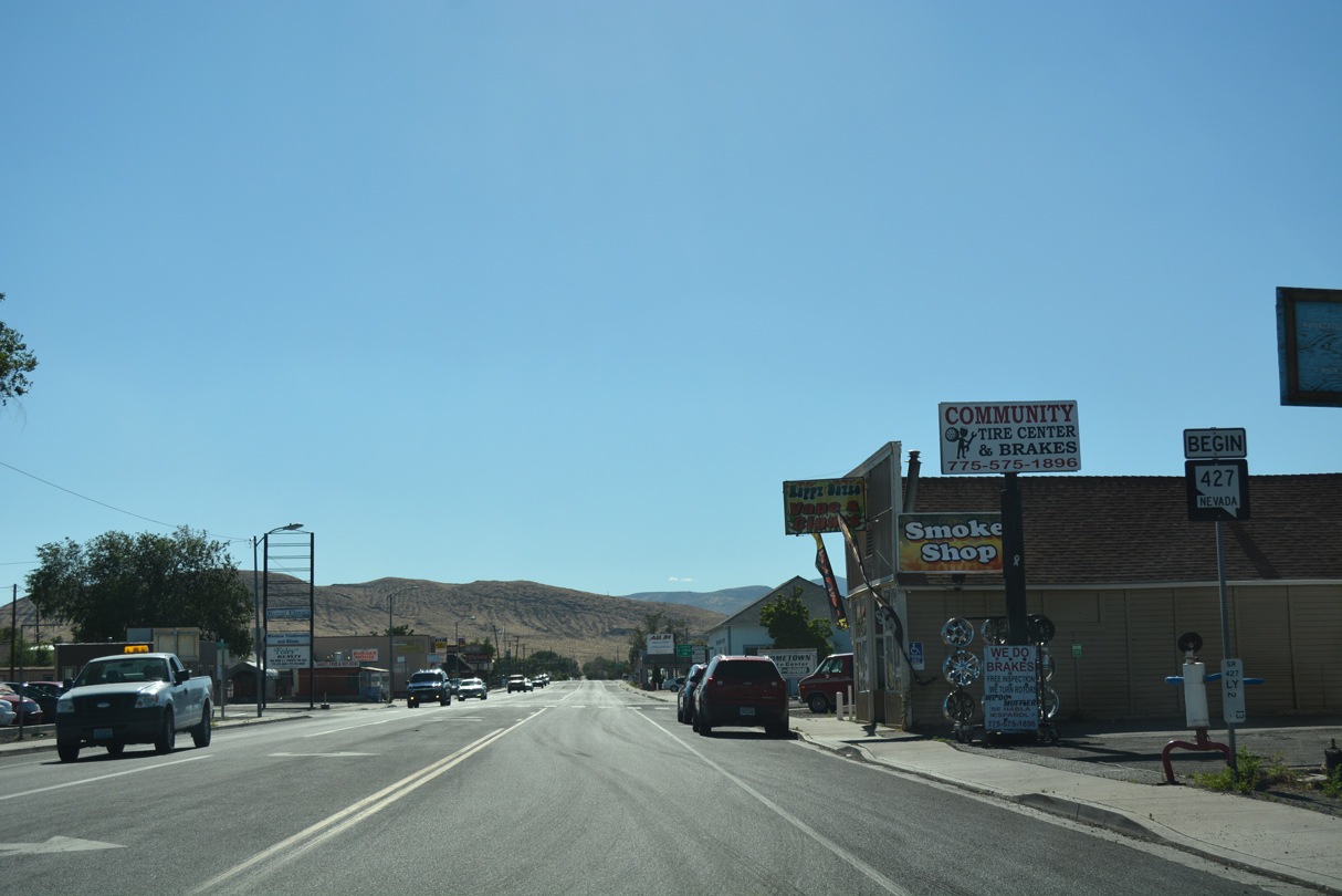
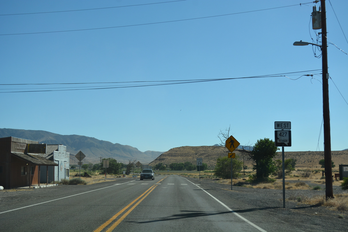
SR 427 takes over for the remainder of Business Loop I-80 west along Main Street (historic U.S. 40) in Fernley.
07/17/17
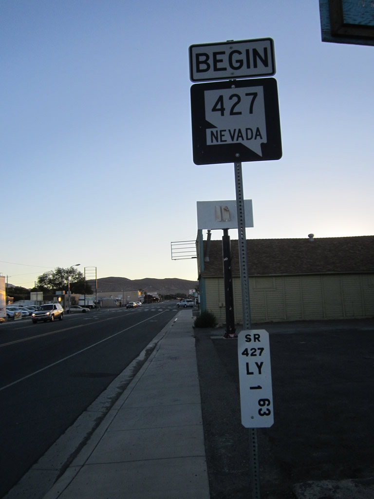
The first milepost for the SR 427 was revised from 1.63 to 2.13, reflecting the distance to the Washoe County line at Wadsworth.
07/31/12
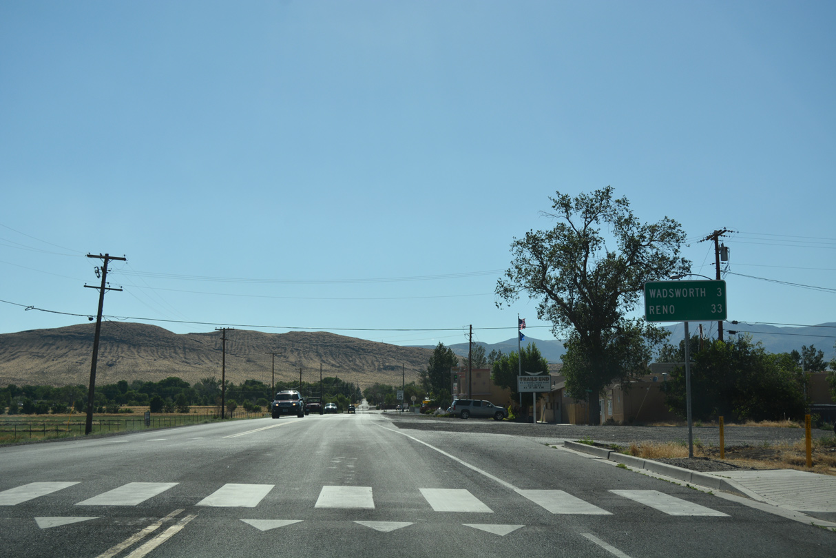
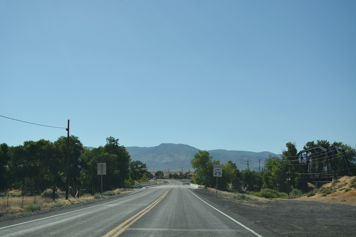
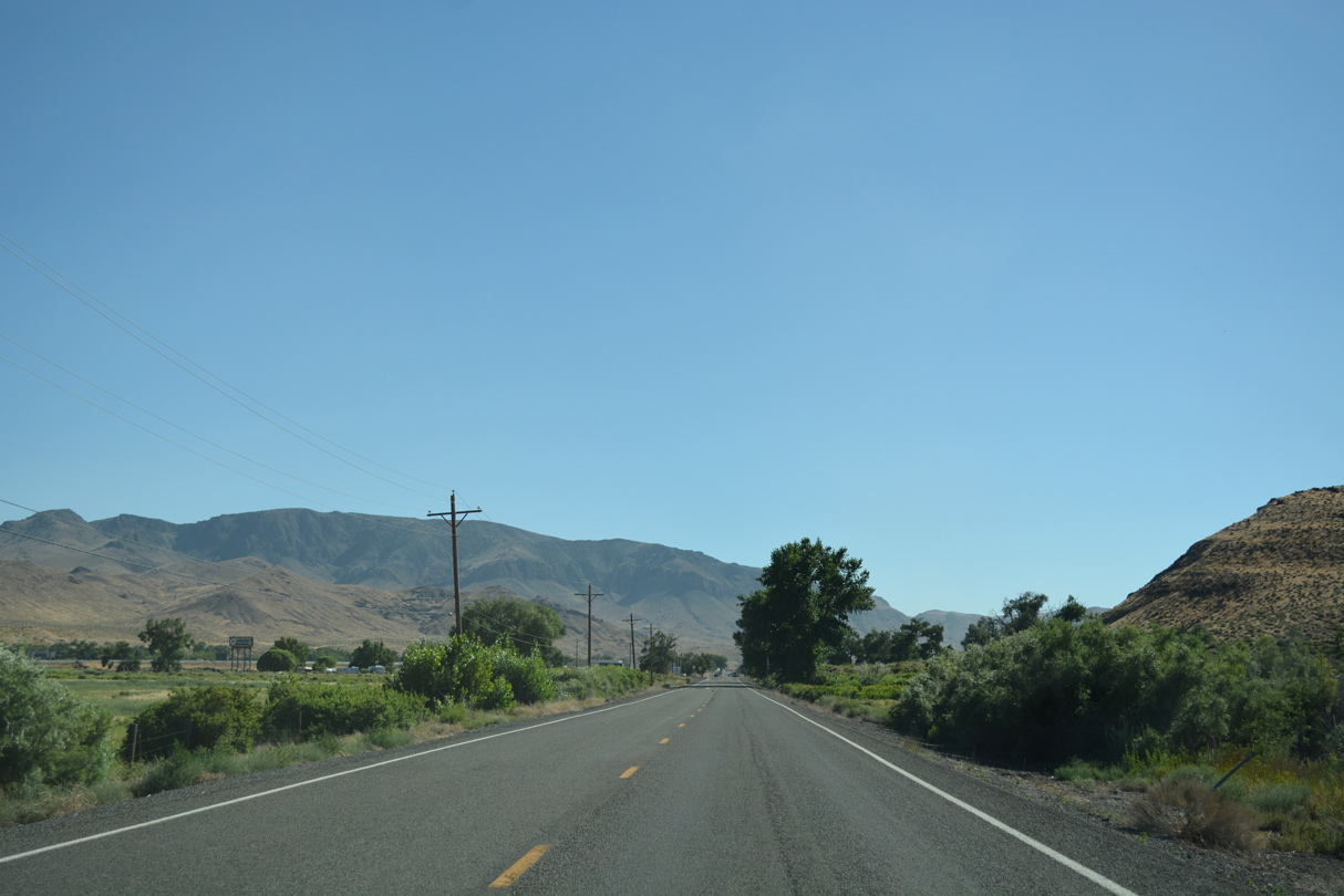
SR 427 links Fernley with Wadsworth, three miles to the west along Old Highway 40. Reno is a 33 mile drive via I-80.
07/17/17
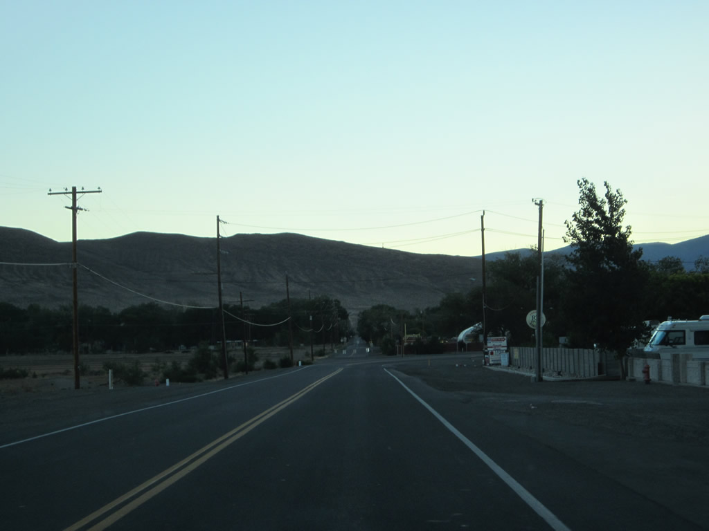
Main Street makes a 90 degree turn north at Truckee Lane (FRLY04). FRLY04 comprises a 0.324 mile loop along Old Highway 40 serving an NDOT maintenance station.
07/31/12
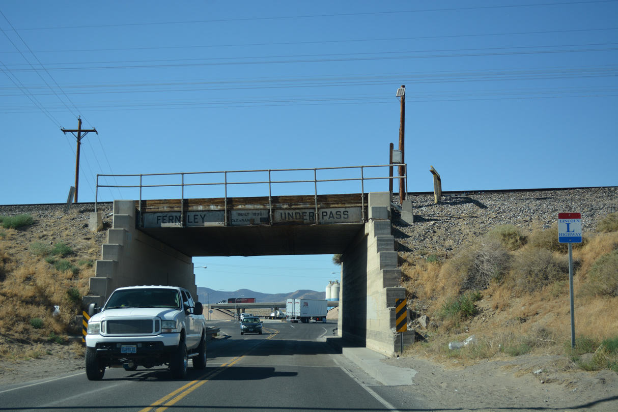
Business Loop I-80/SR 427 narrow below the Fernley Underpass that was built in 1936. A Lincoln Highway trailblazer stands beside the Union Pacific Railroad bridge.
07/17/17
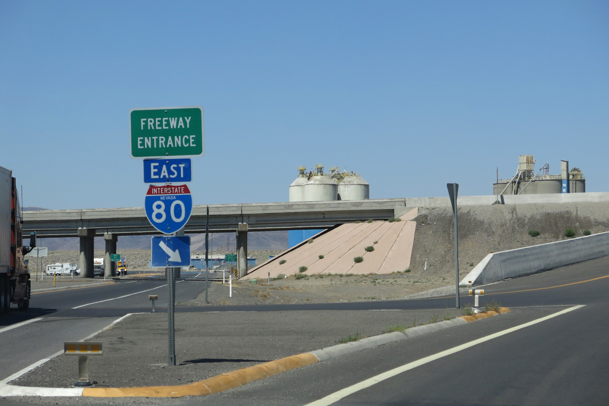
North from the Fernley Underpass, Business Loop I-80 west ends as SR 427 enters a diamond interchange (Exit 46) with Interstate 80.
07/17/17
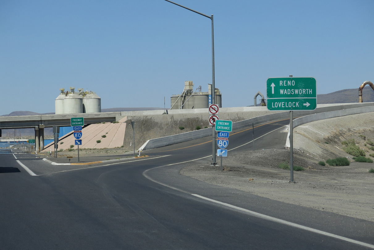
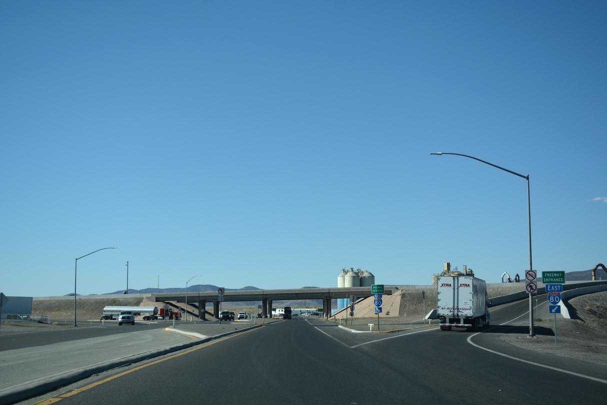
The succeeding on-ramp connects with Interstate 80 east to Lovelock, Winnemucca, Elko, and Salt Lake City, Utah.
08/04/13
07/17/17
The next left turn returns Business Loop I-80 to I-80 west to Sparks, Reno, Verdi, Truckee and Sacramento, California. SR 427 loops north and meets I-80 again in 3.3 miles.
07/17/17
West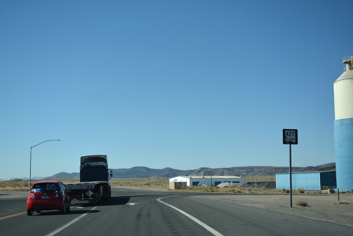
SR 427 continues north from I-80 and Business Loop I-80 by a concrete plant and a swath of the Fortymile Desert to Wadsworth.
07/17/17
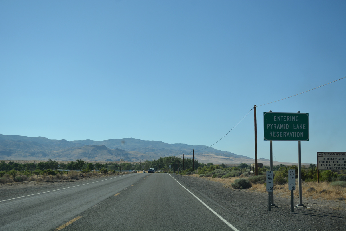
Wadsworth falls within the southern wedge of Pyramid Lake Indian Reservation. SR 427 crosses into Washoe County at this point.
07/17/17
An abandoned Southern Pacific Railroad truss bridge appears along the north side of the SR 427 span across the Truckee River.
07/17/17
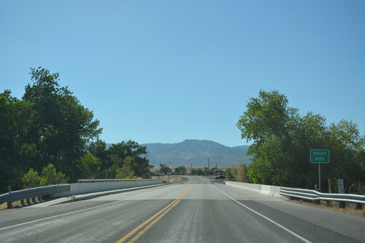
The Truckee River bridge lies at SR 427 milepost 2.00. The span was constructed in 1993.
07/17/17
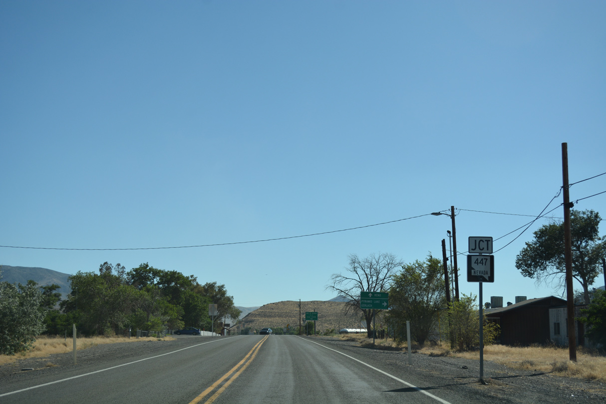
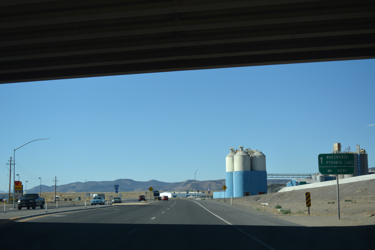
A short distance beyond the Truckee River along SR 427 (Main Street) is the south end of SR 447 (Washeim Street).
07/17/17
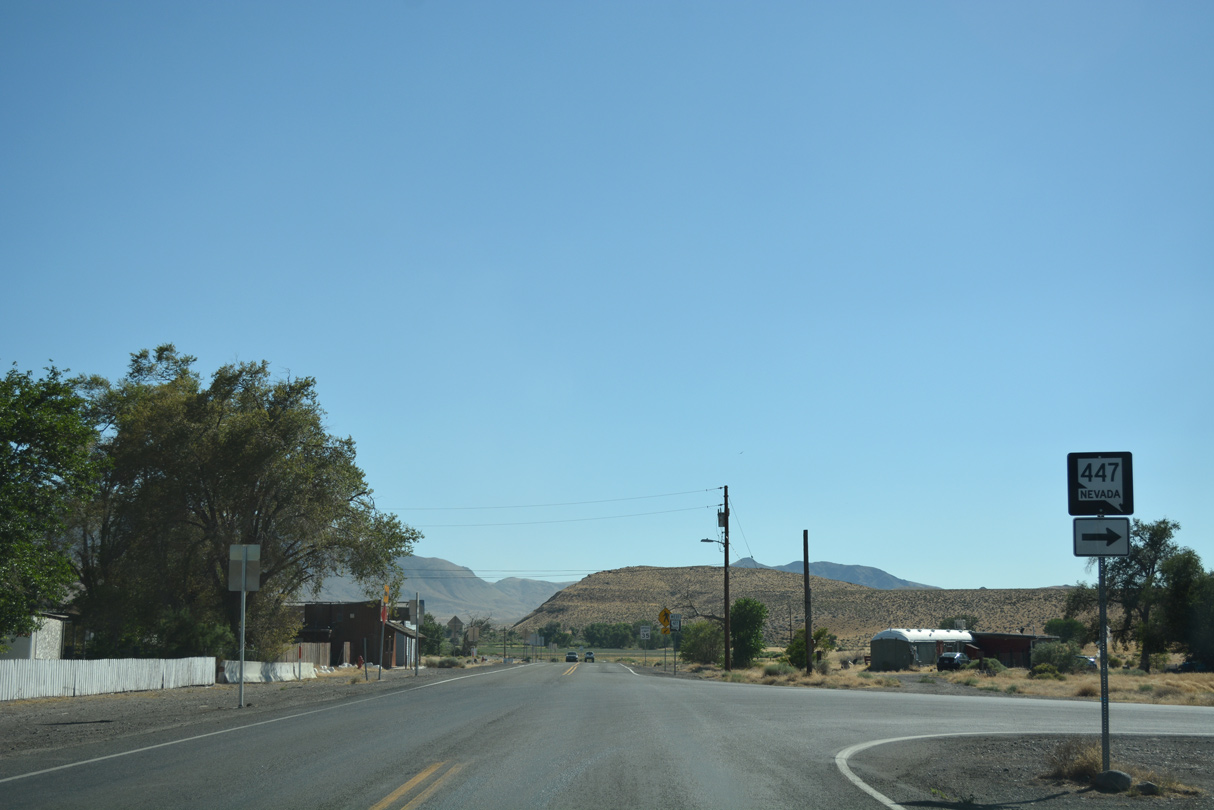
SR 447 (Gerlach Highway) extends north from Wadsworth to remote areas of Washoe County, including Nixon, Pyramid Lake and Gerlach.
07/17/17
SR 427 (Main Street) bends back to the southwest toward I-80 from SR 447 (Washeim Street).
07/17/17
Main Street becomes rural across agricultural areas southwest between Wadsworth and Interstate 80. Rising to the south is the Virginia Range.
07/17/17
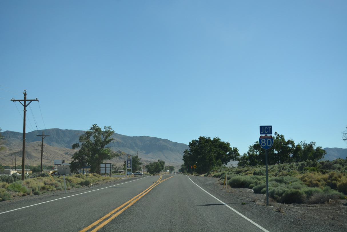
SR 427 and Historic U.S. 40 lead directly onto the westbound entrance ramp for Interstate 80 to Reno-Sparks.
07/17/17
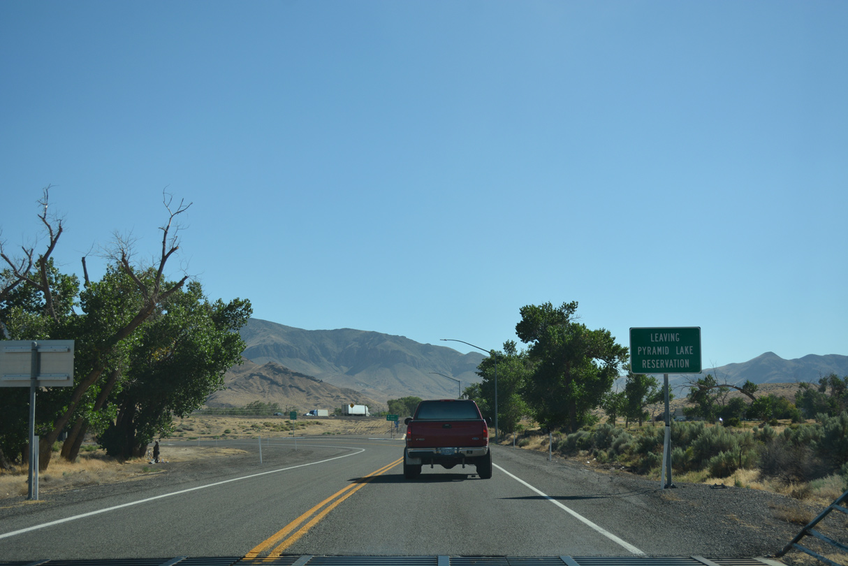
Leaving Pyramid Lake Indian Reservation, SR 427 curves south into the diamond interchange (Exit 43) with Interstate 80.
07/17/17
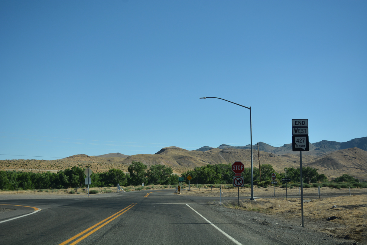
An end shield marks the western terminus of SR 427 at the south side ramps with I-80 and Cantlon Drive.
07/17/17
References:
- Fernley, NV Big Art for Small Towns Projects. Black Rock Arts Foundation and Burning Man Project web site.
Photo Credits:
- Brent Ivy: 07/17/17
- Andy Field: 07/31/12, 08/04/13
Connect with:
Page Updated Wednesday July 25, 2018.