
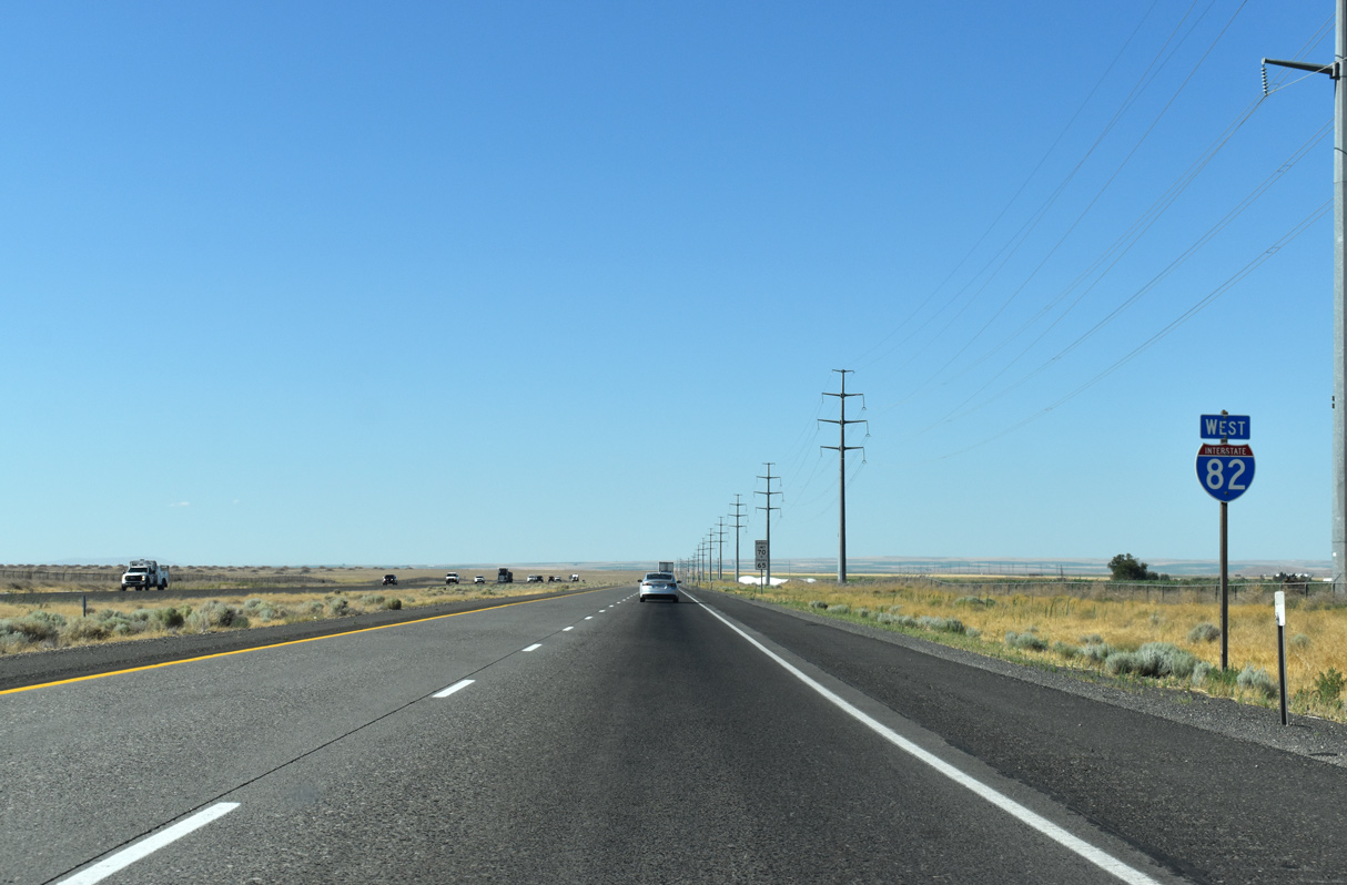
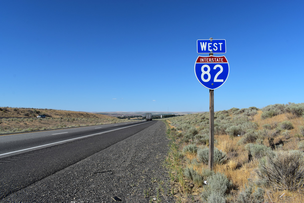
Interstate 82 West

 West
West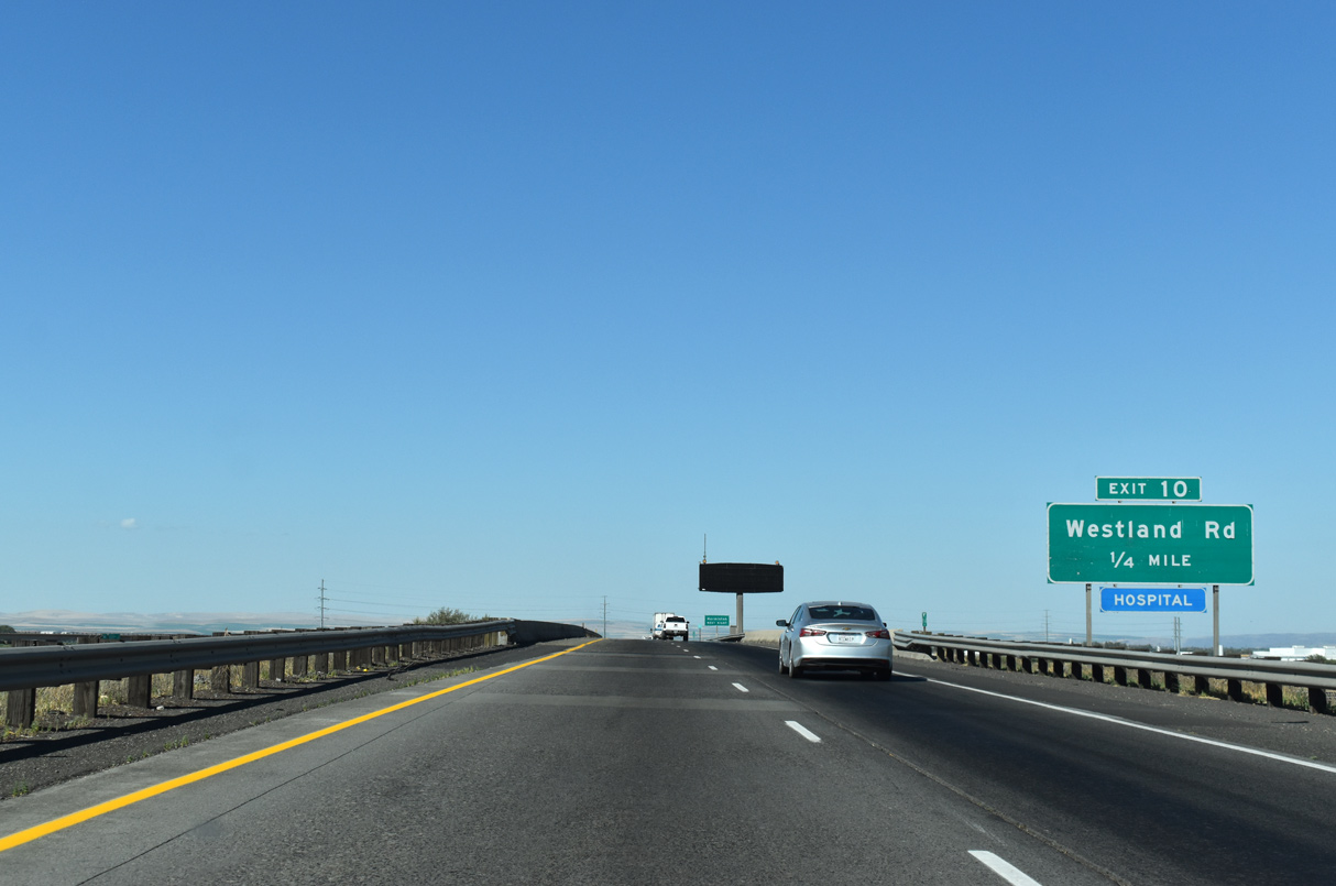
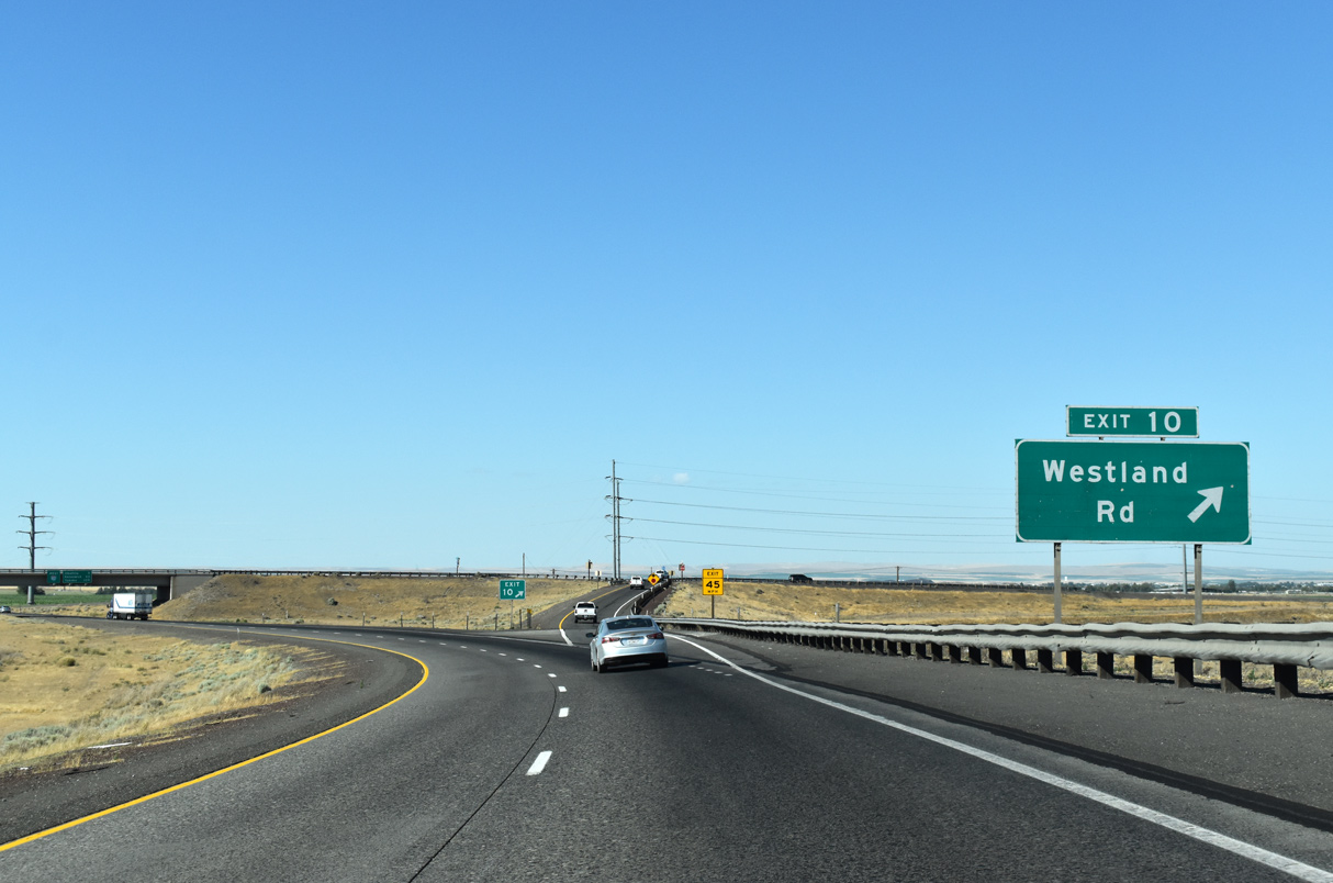
Ramps from I-84/U.S. 30 converge one quarter mile ahead of the diamond interchange (Exit 10) with Lamb Road.
07/17/23
Interstate 82 west spans a Union Pacific Railroad line and enters Umatilla Army Depot.
07/17/23
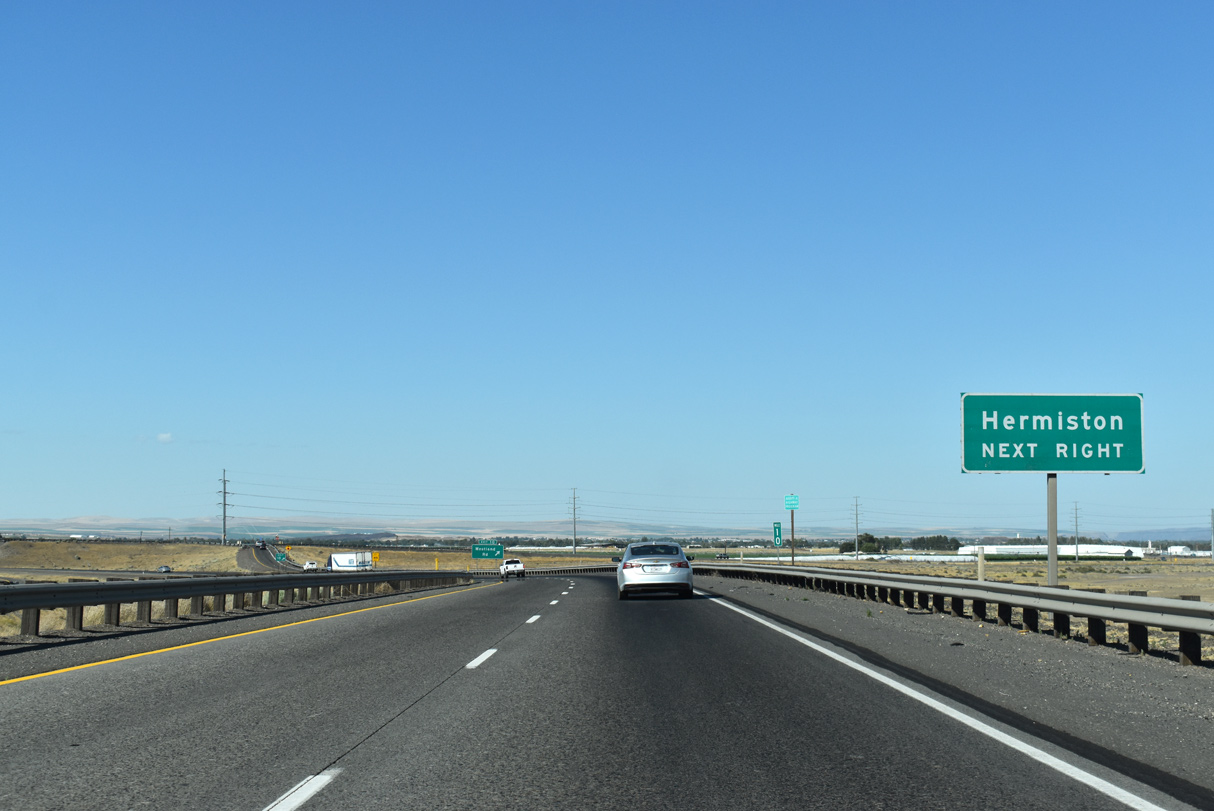
Lamb Road leads east from Umatilla Army Depot and Exit 10 to parallel Westland Road. Westland Road angles northeast from Interstate 84 (Exit 180) and continues five miles from Lamb Road to Hermiston.
07/17/23
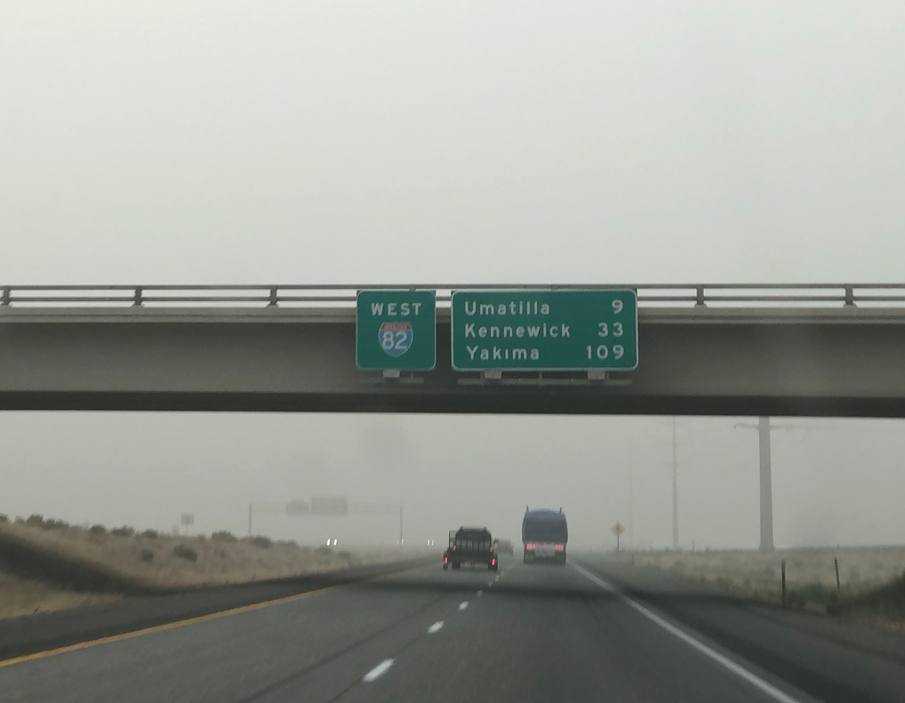
The first distance sign on I-82 west appears at the Lamb Road overpass. Umatilla lies nine miles ahead at the Columbia River. Kennewick and the Tri-Cities follows in 33 miles.
07/17/23
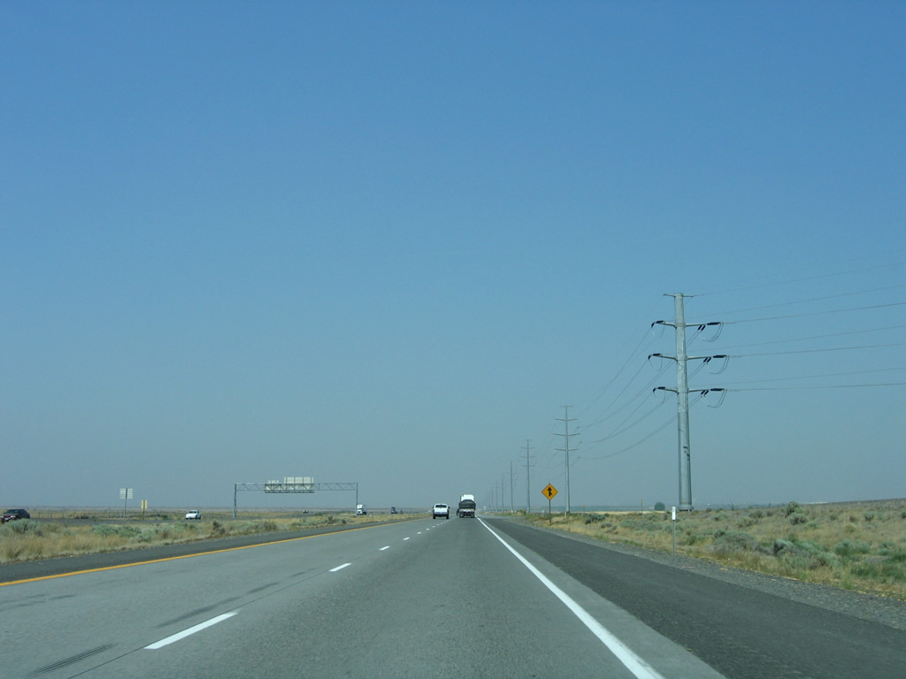
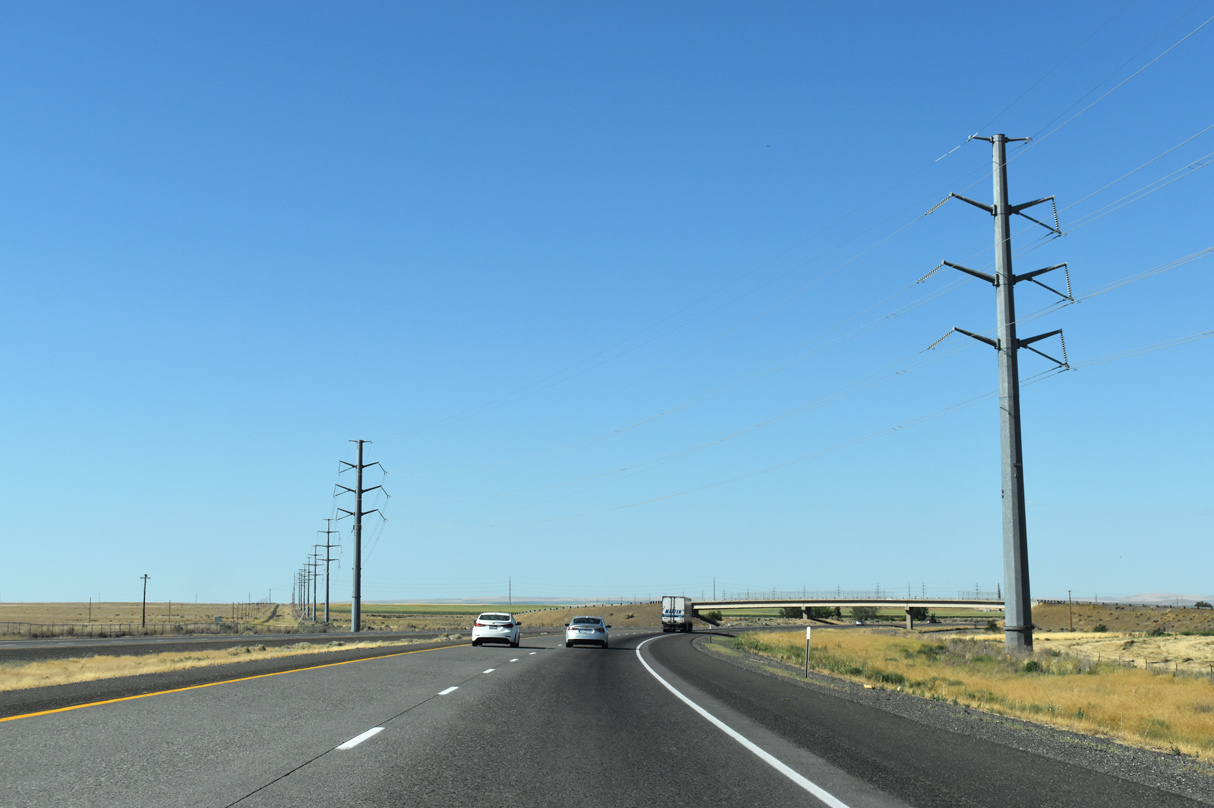
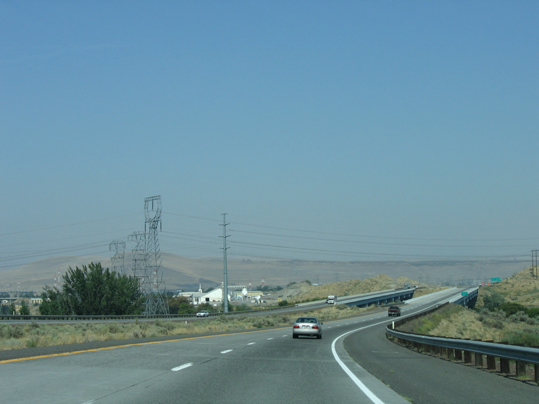
A transmission line corridor runs along the east side of Interstate 82 from Lamb Road north to Powerline Road (Exit 5).
08/28/06
Interstate 82 confirming marker posted after the entrance ramp from Exit 10.
07/17/23
Power lines cross over Interstate 82 as the freeway leaves Umatilla Army Depot near the overpass for Bridge Road.
07/17/23
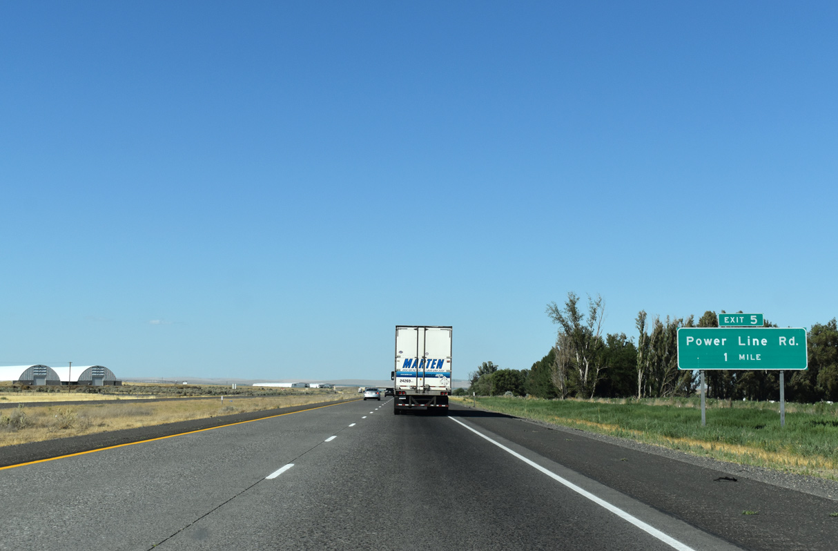
Powerline Road stems north from Westland Road to meet Interstate 82 at a diamond interchange (Exit 5) in one mile.
07/17/23
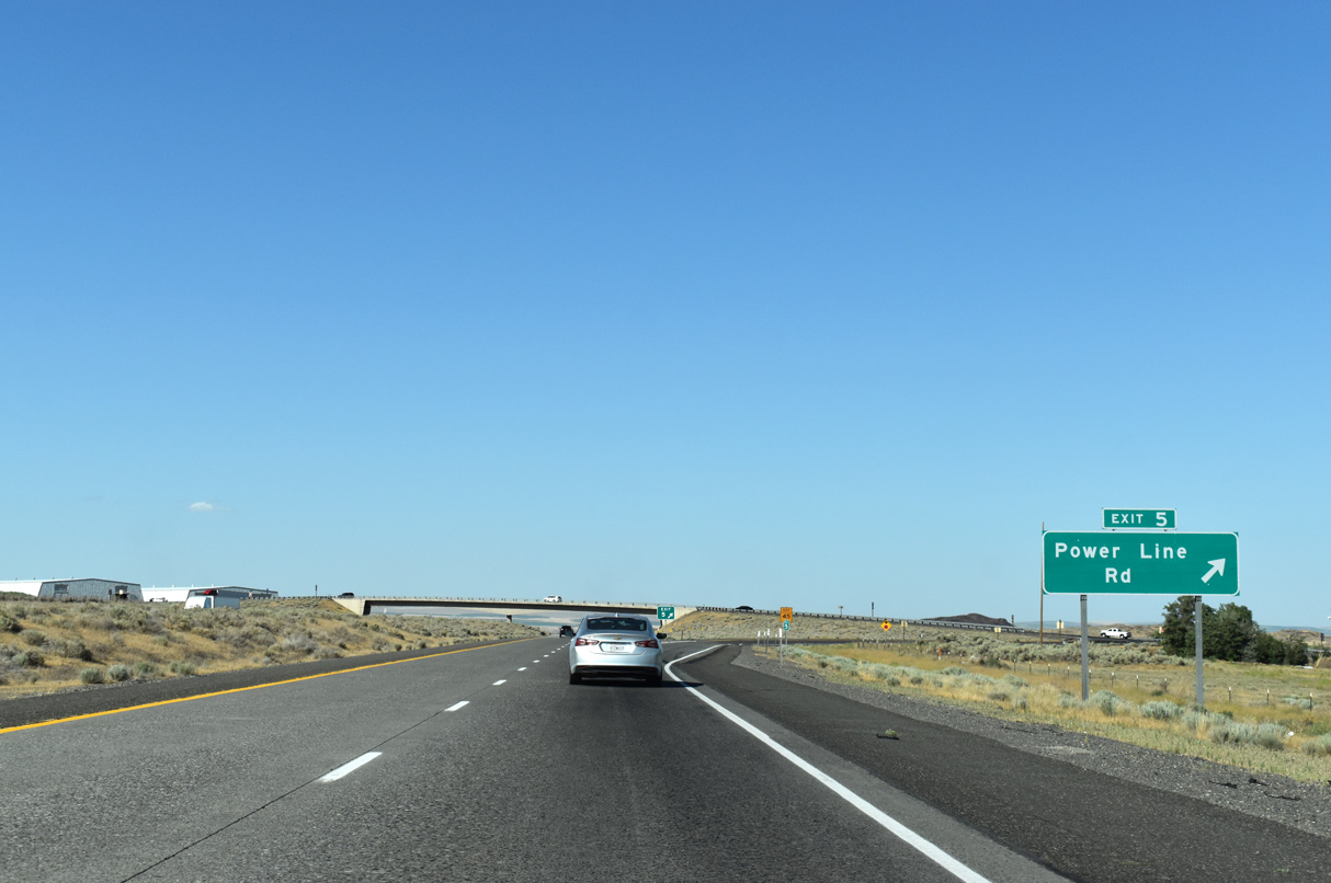
Powerline Road derives its name from the set of transmission lines that parallel I-82 to the south. That set of lines follows Powerline Road into south Umatilla before turning eastward again over I-82 at the Umatilla River.
07/17/23
The second and last reassurance shield posted for Interstate 82 west in the state of Oregon. I-82 travels just 11.01 miles in the Beaver State.
07/17/23
Hills in southern Washington appear along the northern horizon as Interstate 82 straddles eastern reaches of the city of Umatilla.
08/28/06
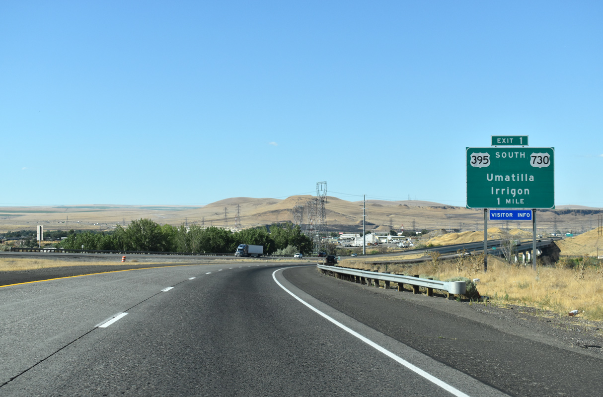
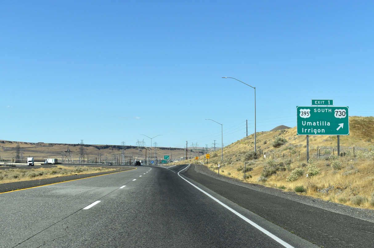
One mile south of the diamond interchange (Exit 1) with U.S. 395 south / U.S. 730 (Sixth Street) in Umatilla. U.S. 395 north combines with Interstate 82 west to cross the Columbia River.
07/17/23
Several sets of powerlines pass over Interstate 82 as the freeway spans the Umatilla River.
08/28/06
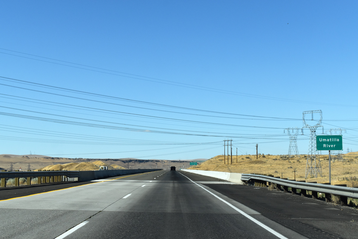
The Umatilla River flows northwest from the Blue Mountains and into the Columbia River at Umatilla.
07/17/23
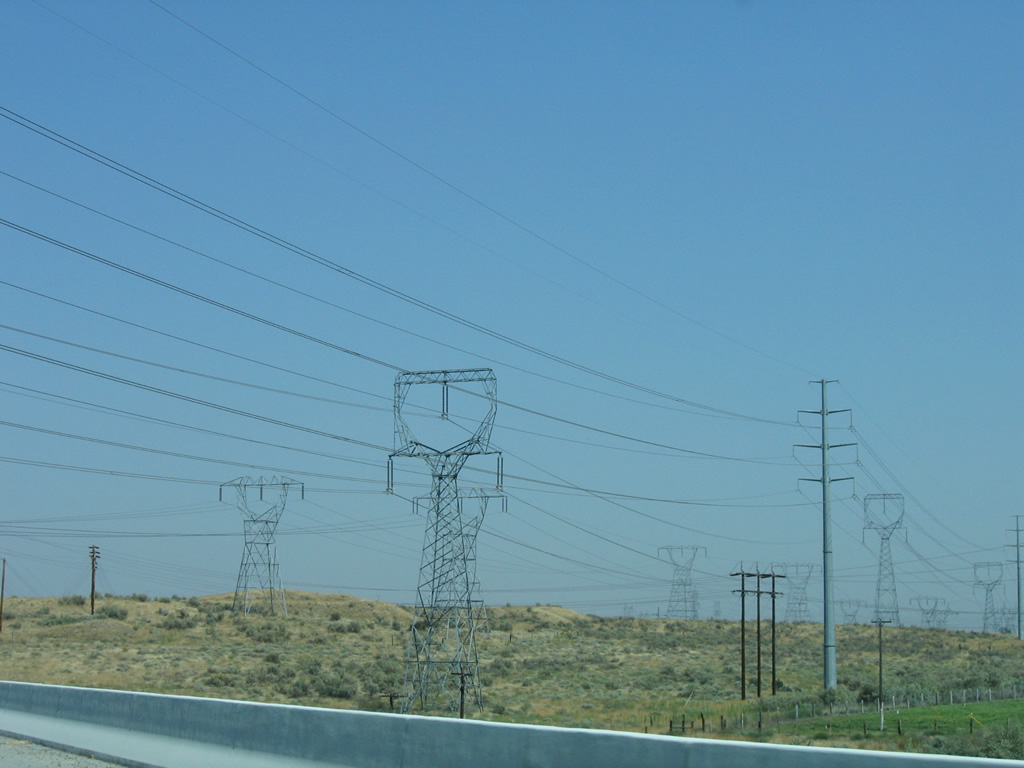
Originating at McNary Dam, numerous transmission towers appear east of Interstate 82.
08/28/06
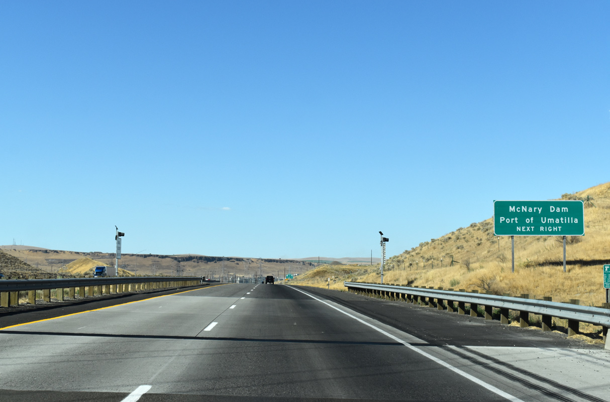
McNary Dam lies east of the Umatilla Bridge spanning the Columbia River. Devore Road links I-82 with the facility via U.S. 395 south and U.S. 730 east.
07/17/23
U.S. 730 travels west from Exit 1 through Umatilla to Irrigon and I-84/U.S. 30 near Boardman. The 42 mile long route ends at U.S. 12 near Wallula.
07/17/23
McNary Dam is located along the Columbia River north of the the unincorporated community of McNary. The lock and dam serves as a hydro electric power plant for the region.
07/17/23
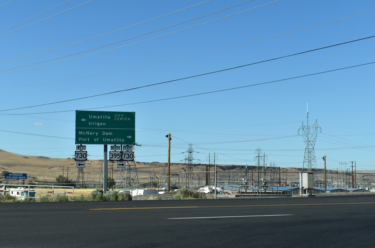
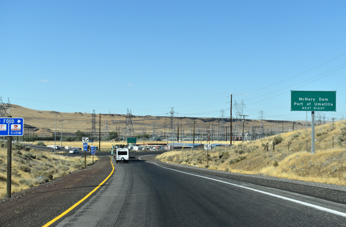
U.S. 730 (Sixth Street) travels to an Oregon Welcome center and the Umatilla city center just west of Interstate 82. U.S. 395 south splits with U.S. 730 east for Hermiston and Stanfield in 0.78 miles. Originally U.S. 395 followed U.S. 730 east to Wallula and U.S. 410 west to Pasco.
07/17/23
West  North
North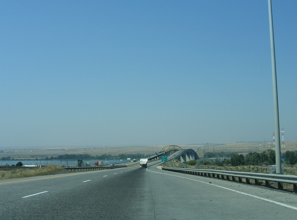
Including the Umatilla Bridge across the Columbia River, U.S. 395 follows Interstate 82, 20.56 miles north to Kennewick, Washington.
08/28/06
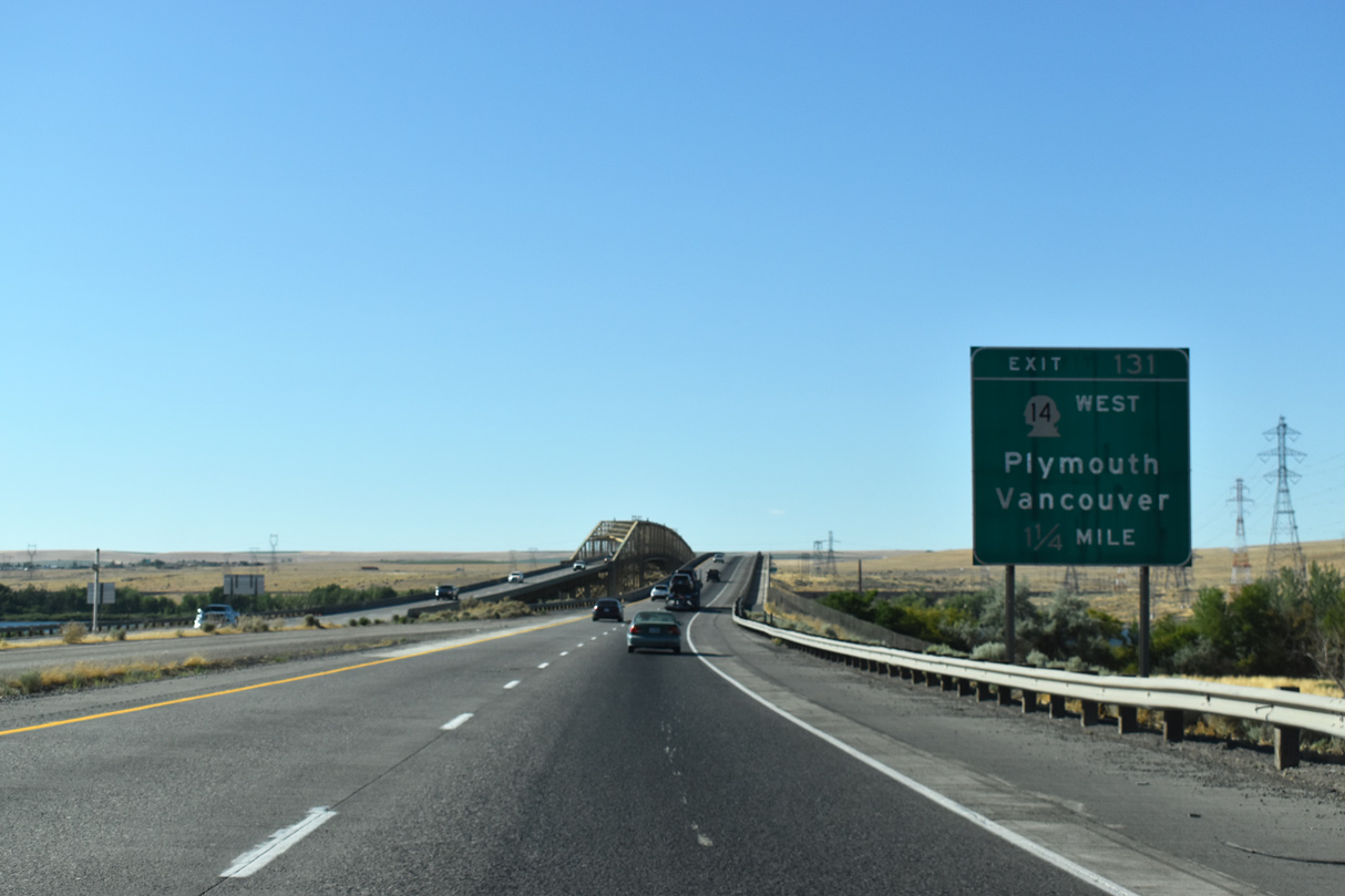
The first guide sign for Washington Route 14 (Exit 131) west on I-82/U.S. 395 north appears in Oregon. SR 14 travels 180.68 miles west from I-82 at Plymouth to Vancouver.
07/17/23
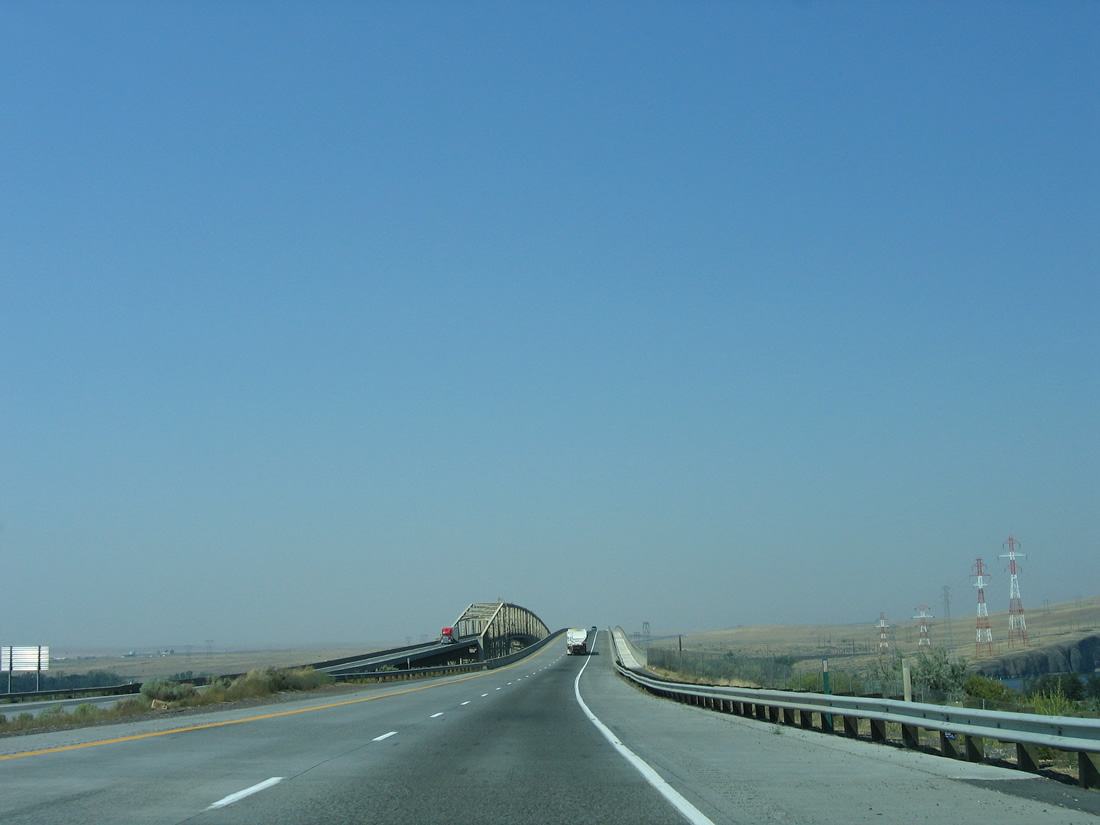
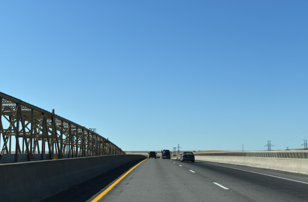
I-82/U.S. 395 crosses Lake Umatilla along the Columbia River at separate bridges. The original eastbound span carried two-way traffic as a toll bridge from 1955 to 1974. That span was upgraded for Interstate use when the concrete arch bridge for I-82 westbound opened to traffic.¹
08/28/06
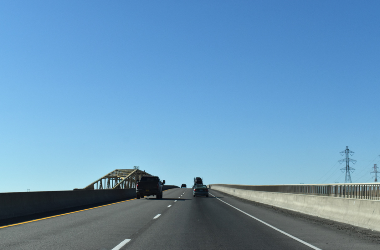
I-82/U.S. 395 north cross a rather nondescript bridge traveling 80 feet above the Columbia River. The westbound span totals 3,433 feet in length.¹
07/17/23
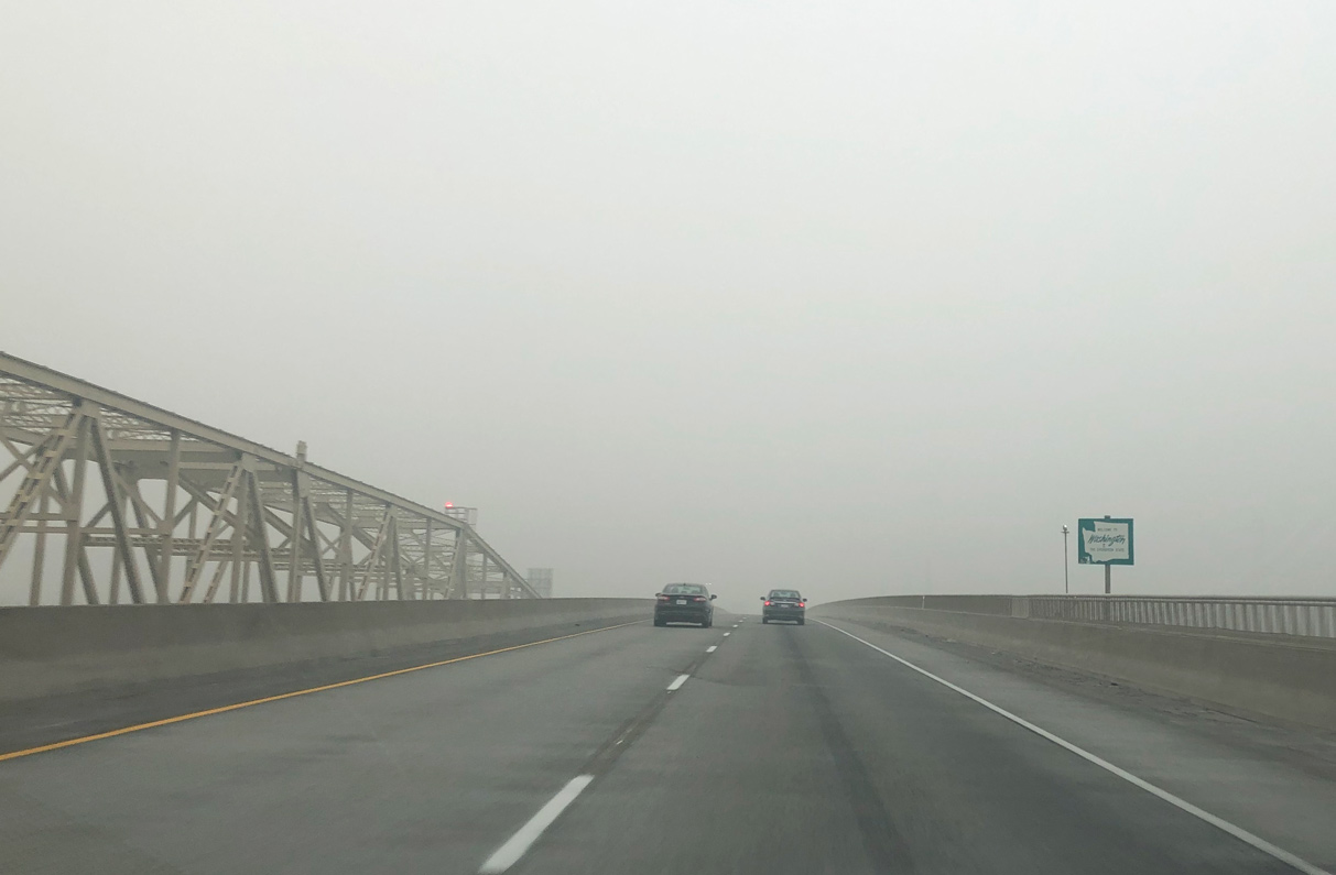
I-82/U.S. 395 enter the state of Washington near the midpoint of the Umatilla Bridge.
07/17/23


References:
- Umatilla Bridge. Wikipedia.
Photo Credits:
- Brent Ivy: 07/17/23
- AARoads: 08/28/06
Page Updated Saturday August 16, 2025.