
Interstate 84 West - Tremonton to Idaho
 West
West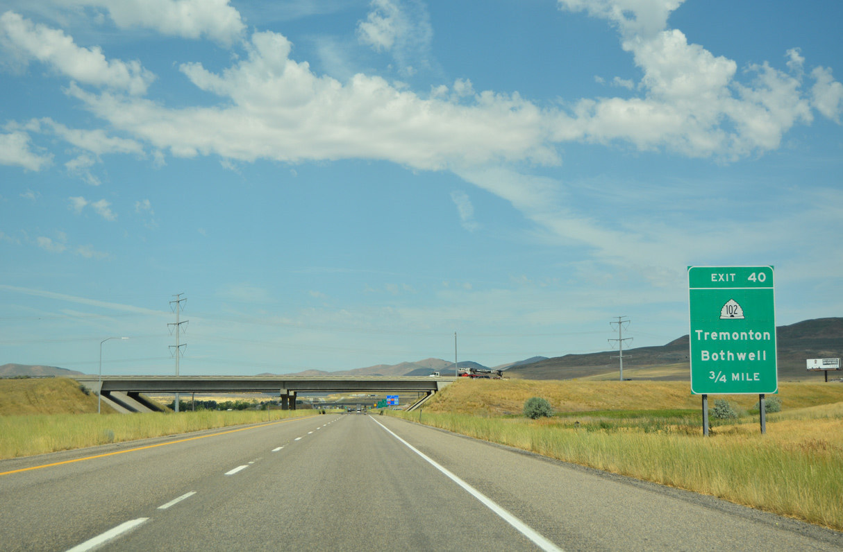
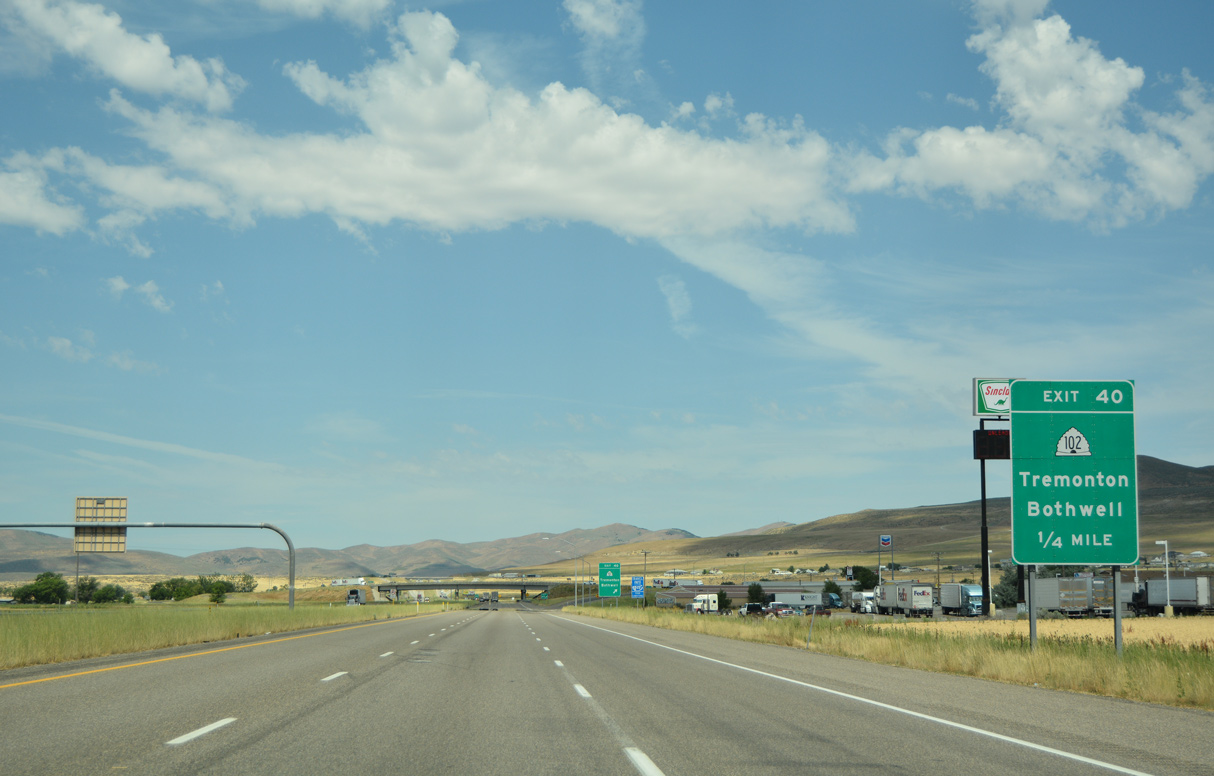
Business Loop I-84 returns to I-84 at Exit 40 from Tremonton alongside SR 102 (Main Street) west.
07/05/16
07/05/16
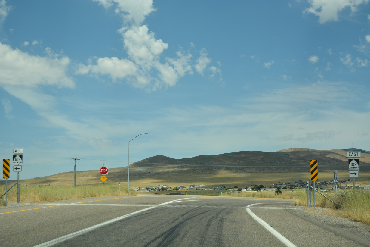
SR 102 constitutes a 20.09 mile long highway east to SR 38 at Deweyville and southwest along a stair stepped route to Penrose and SR 83.
07/05/16
07/05/16
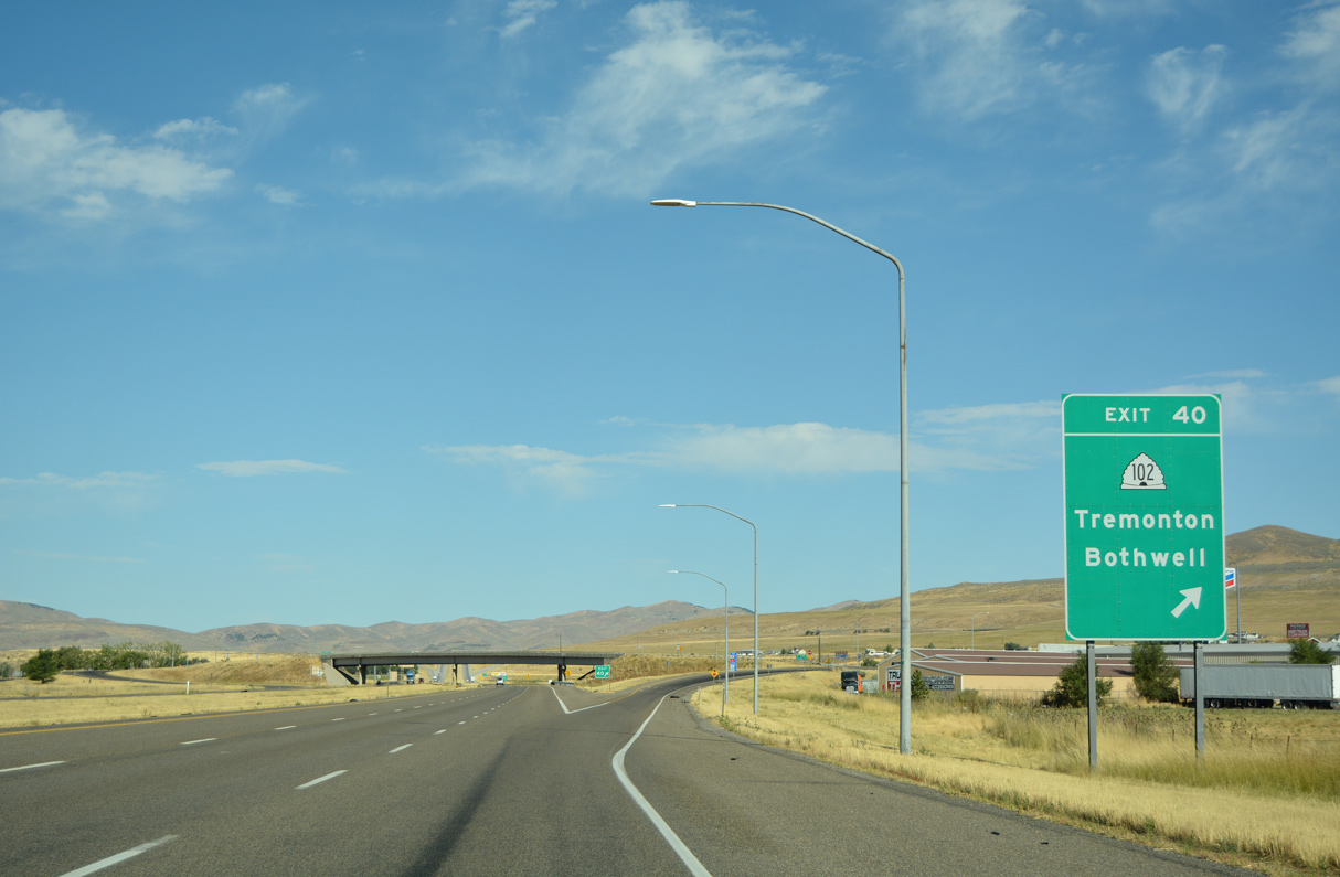
A diamond interchange joins Interstate 84 with SR 102 and Business Loop I-84 (Main Street) east at Exit 40.
08/10/16
08/10/16
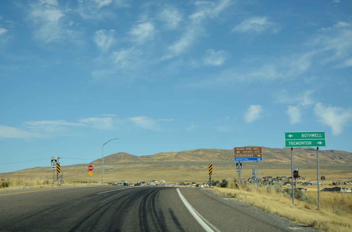
The unincorporated community of Bothwell lies 3.3 miles to the west of Exit 40 off SR 102 (11200 North).
08/10/16
08/10/16
08/10/16

Interstate 84 angles a half mile northwest SR 102 to a diamond interchange (Exit 39) with 1000 North by Point Lookout.
07/05/16
07/05/16
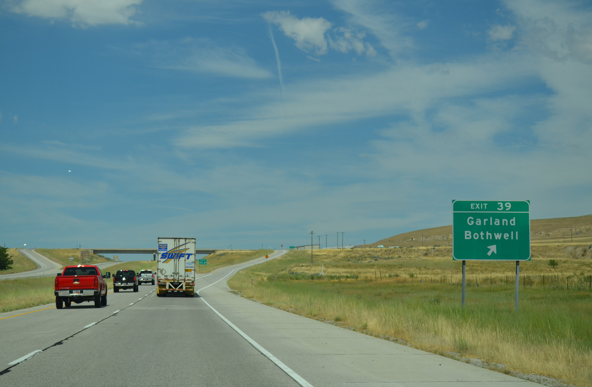
1000 North leads east across Tremonton to become part of Business Loop I-15 en route to SR 82 (Main Street) in the city of Garland.
07/05/16
07/05/16
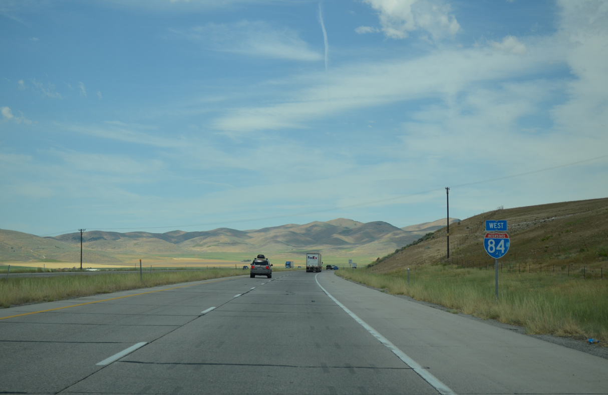
The Spring Hills rise along the western horizon beyond this confirming marker.
07/05/16
07/05/16
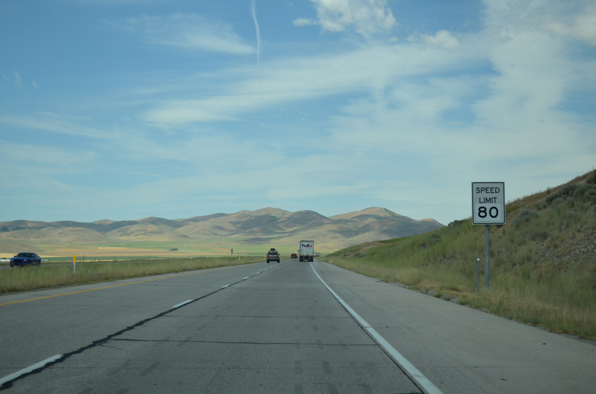
Continuing into a remote area along the Point Lookout Mountains, the speed limit along Interstate 84 increases to 80 miles per hour.
07/05/16
07/05/16
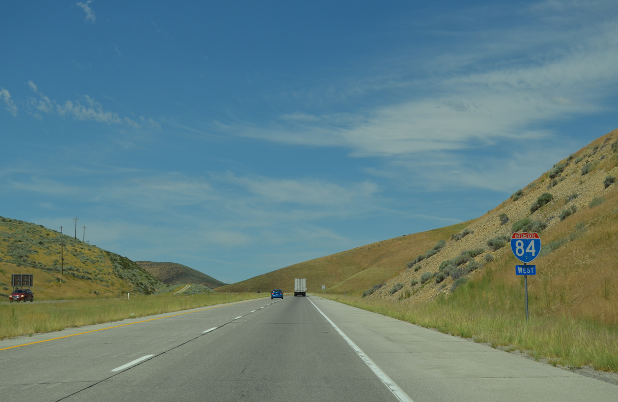
Interstate 84 was constructed directly over former U.S. 30S by the West Hills.
07/05/16
07/05/16
07/05/16
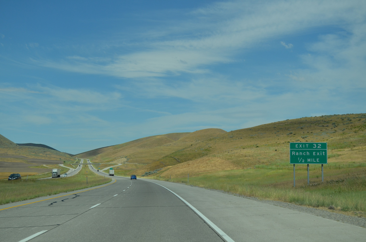
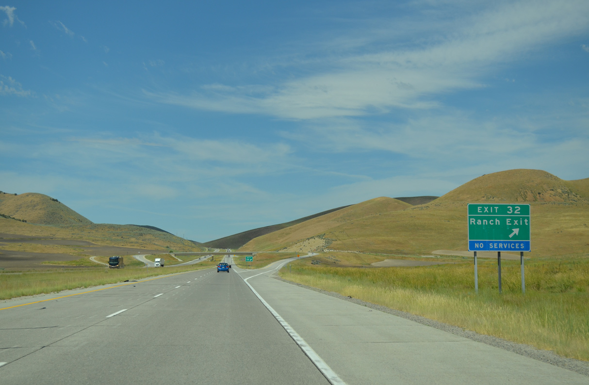
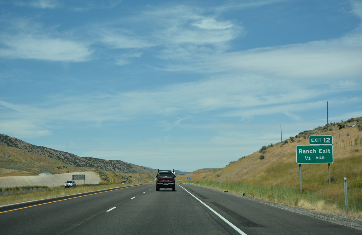
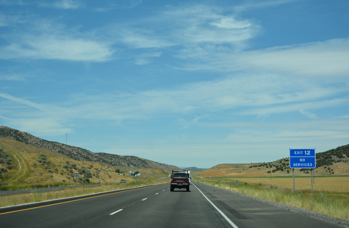
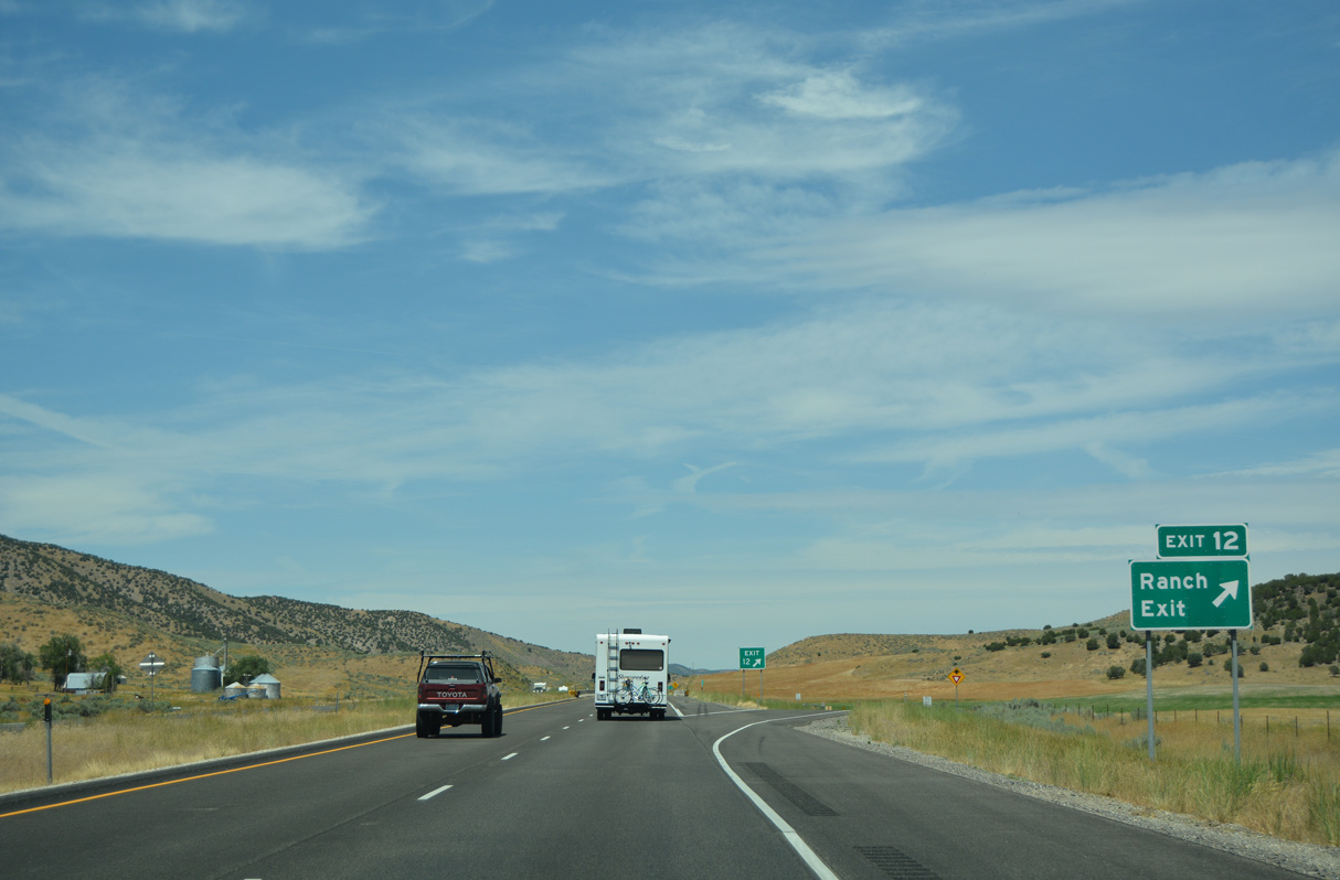
A ranch exit lies west of Chokecherry Canyon along Interstate 84 in the West Hills.
07/05/16
07/05/16
07/05/16
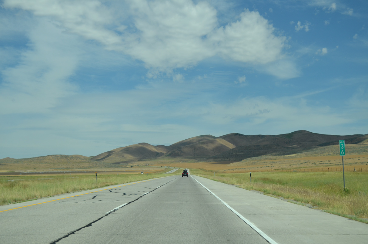
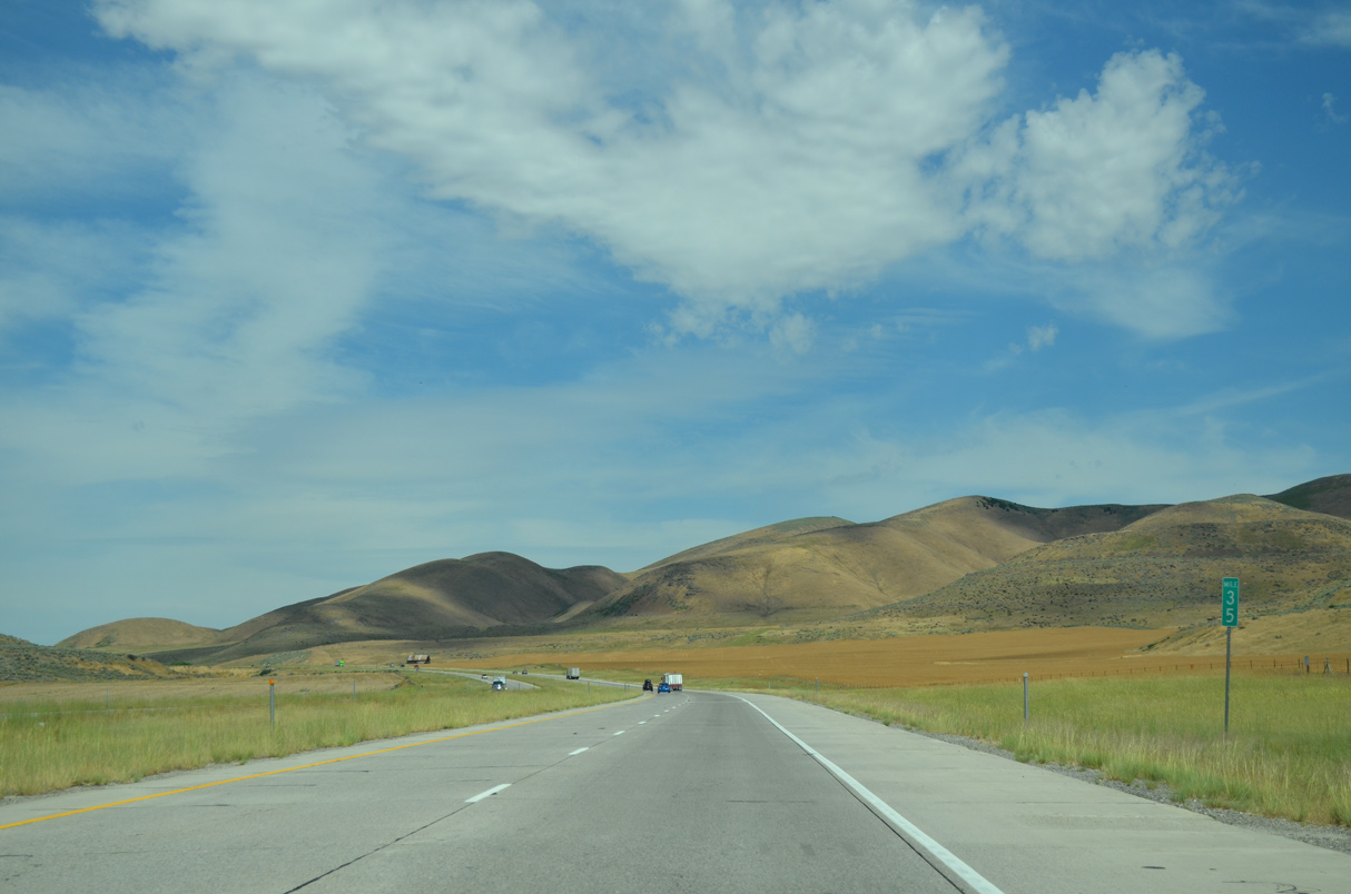
Interstate 84 gains 800 feet in elevation from Point Lookout west to mile marker 29.
07/05/16
07/05/16
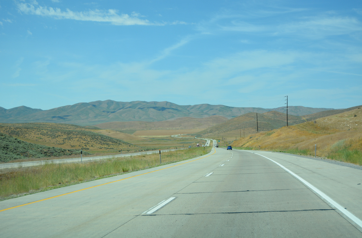
Interstate 84 advances west between the Blue Springs and West Hills.
07/05/16
07/05/16
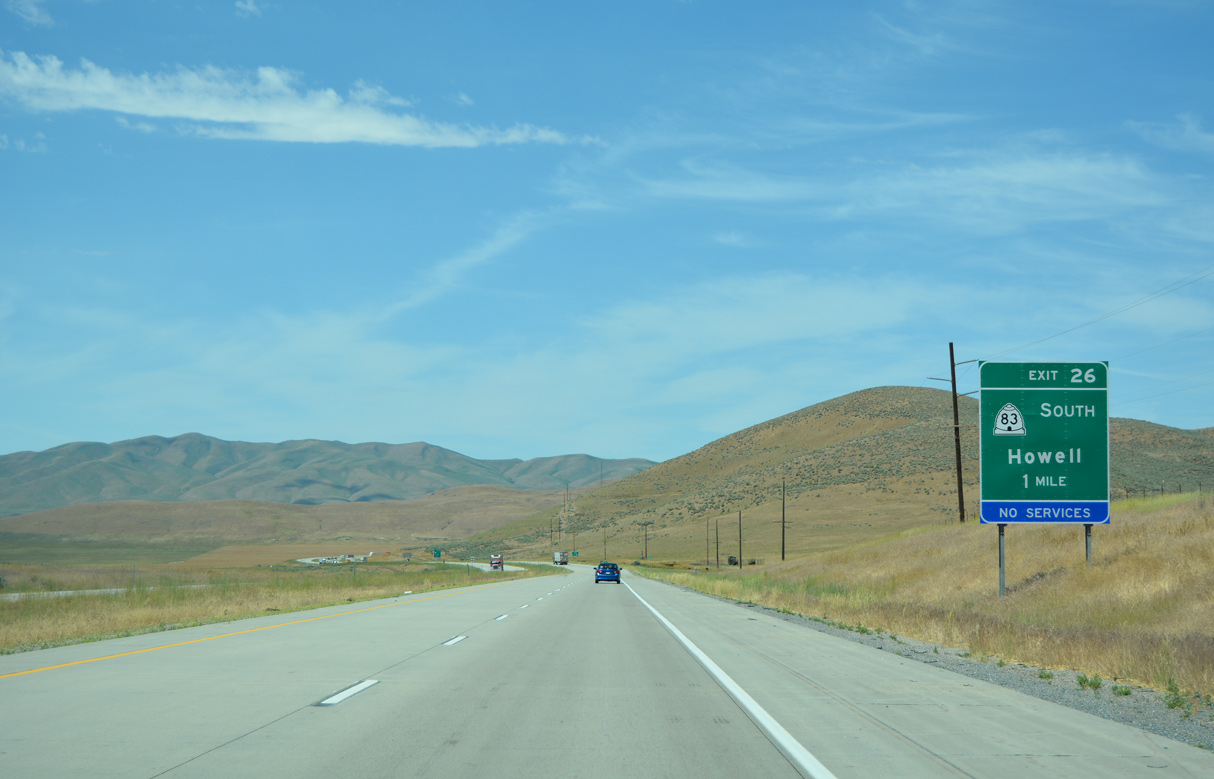
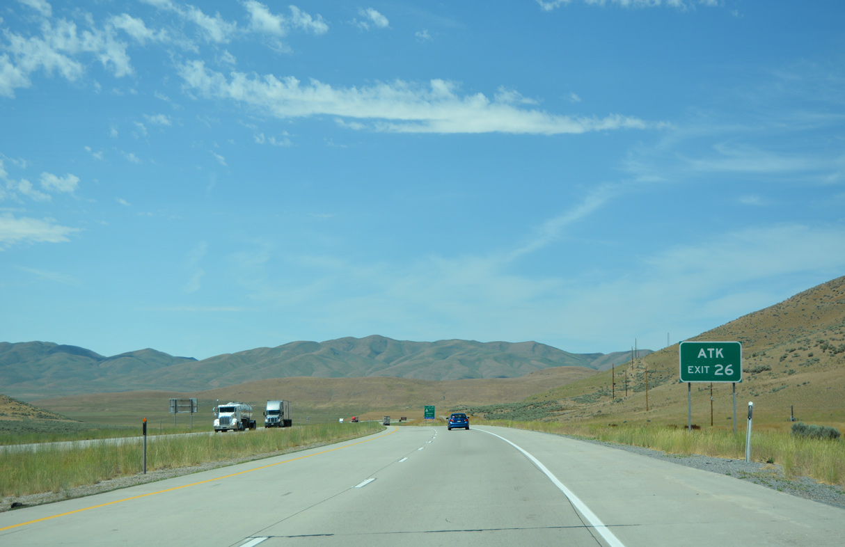
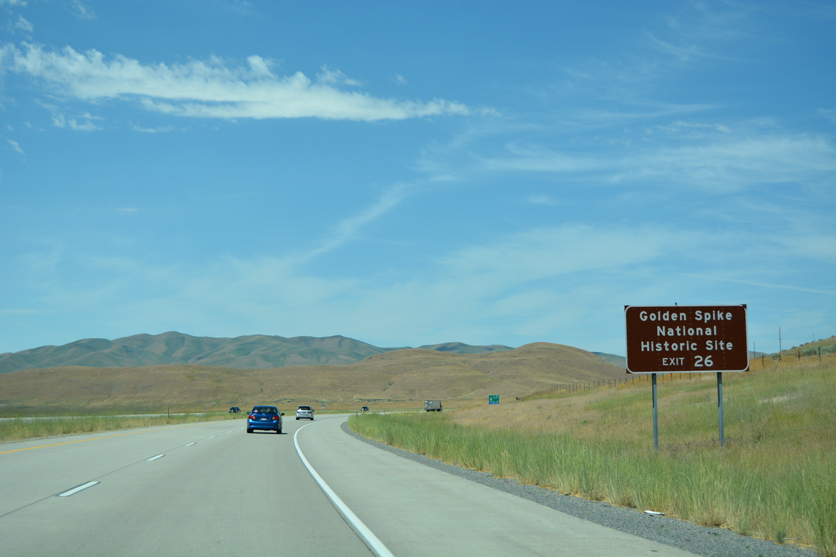
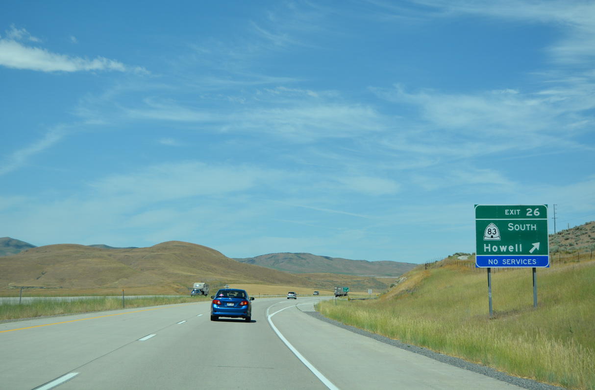
Entering the town of Howell, I-84 converges with the north end of SR 83 at Exit 26.
07/05/16
07/05/16
07/05/16
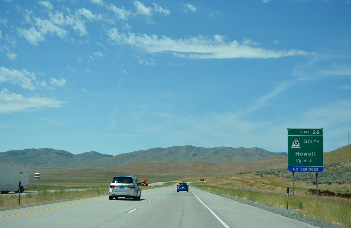
SR 83 constitutes a 30.82 mile long loop south through Blue Creek Valley and east to SR 13 in the town of Corinne.
07/05/16
07/05/16
07/05/16
07/05/16
07/05/16
07/05/16
07/05/16
07/05/16
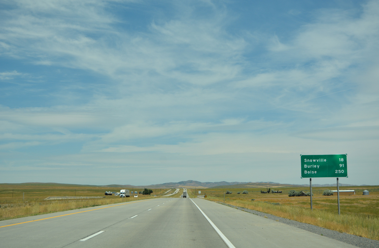
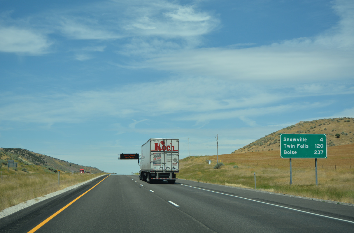
Snowville lies 18 miles northwest of Blue Creek and the Blue Creek Valley along Interstate 84.
07/05/16
07/05/16
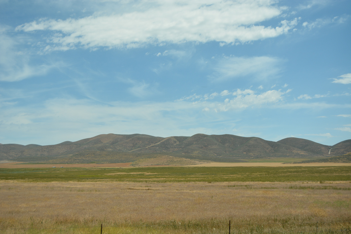
Easterly view of the Western Hills toward Whites Valley.
07/05/16
07/05/16
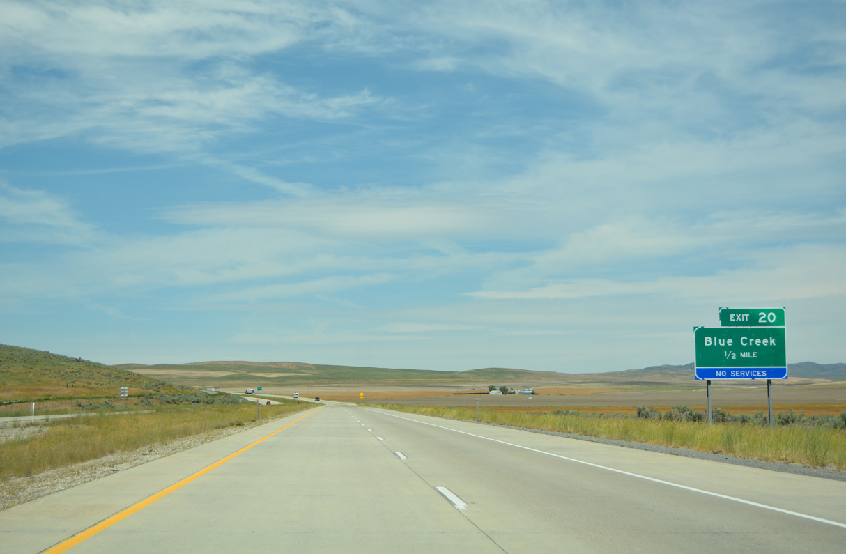
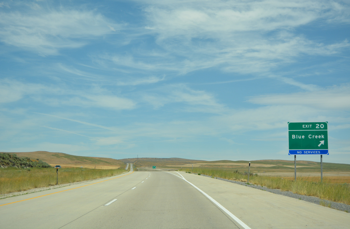
A diamond interchange at Exit 20 links Interstate 84 with 19300 West and Frontage Roads east to the settlement of Blue Creek.
07/05/16
07/05/16
07/05/16
07/05/16

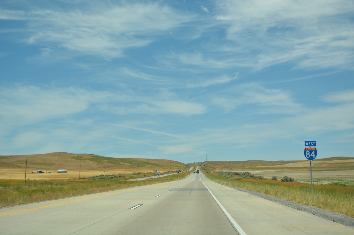
Interstate 84 ascends 400 feet in elevation from Exit 20 to Rattlesnake Pass.
07/05/16
07/05/16
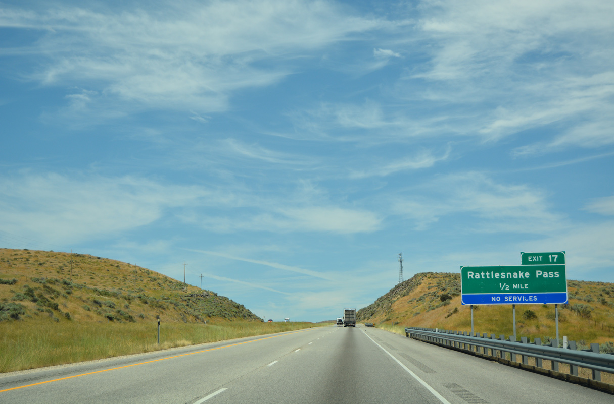
Rattlesnake Pass is located at north of the North Promontory Mountains and southeast of Franklin Hill.
07/05/16
07/05/16
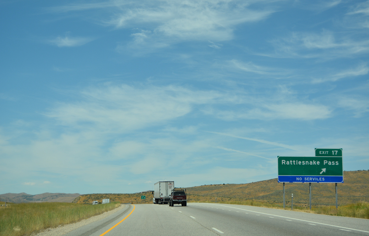
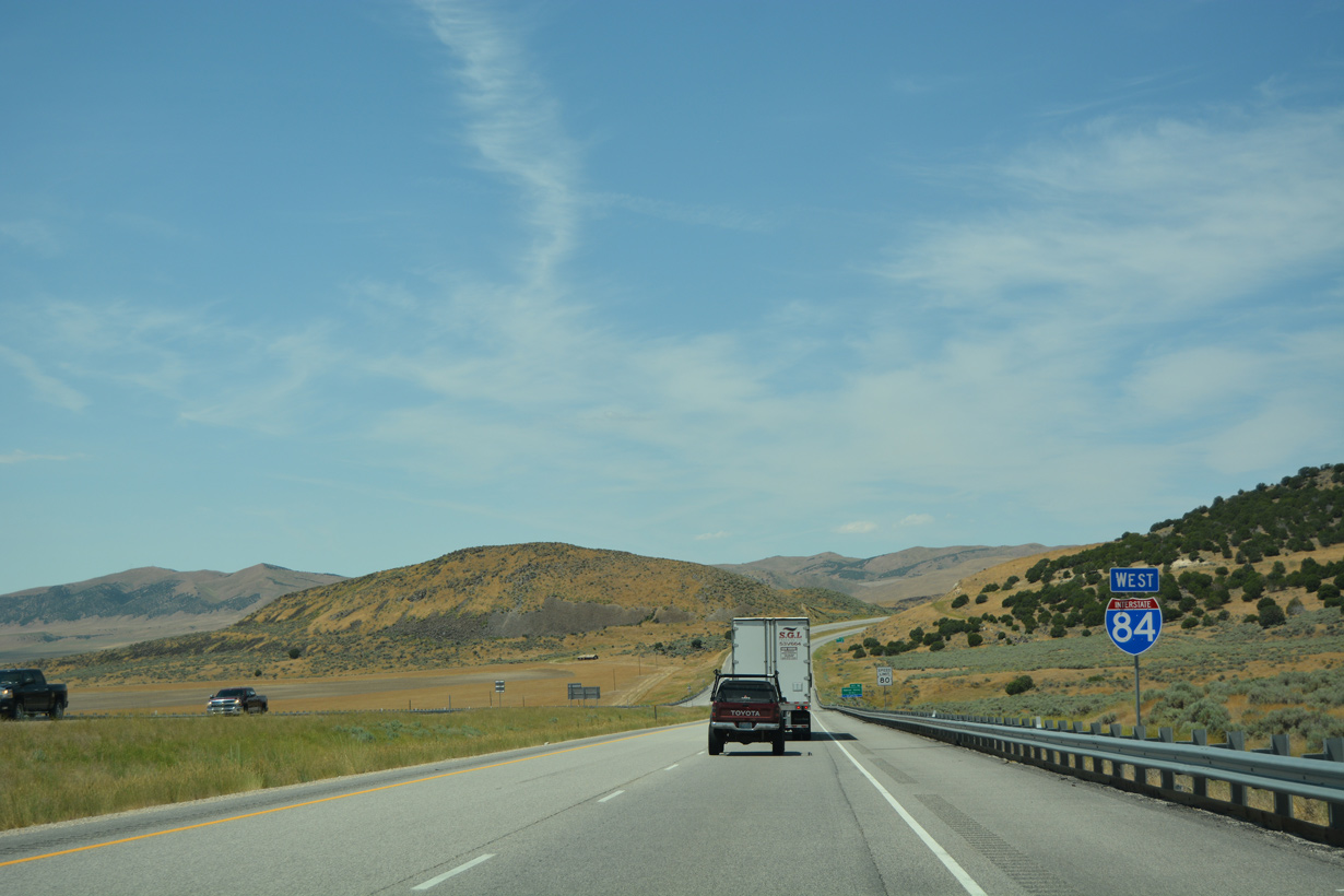
21200 West heads north from the diamond interchange at Exit 17.
07/05/16
07/05/16
07/05/16
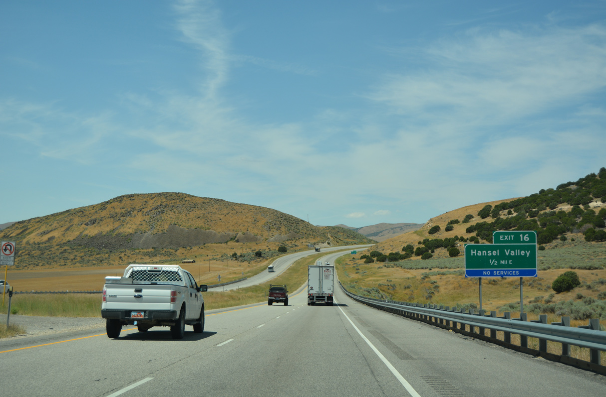
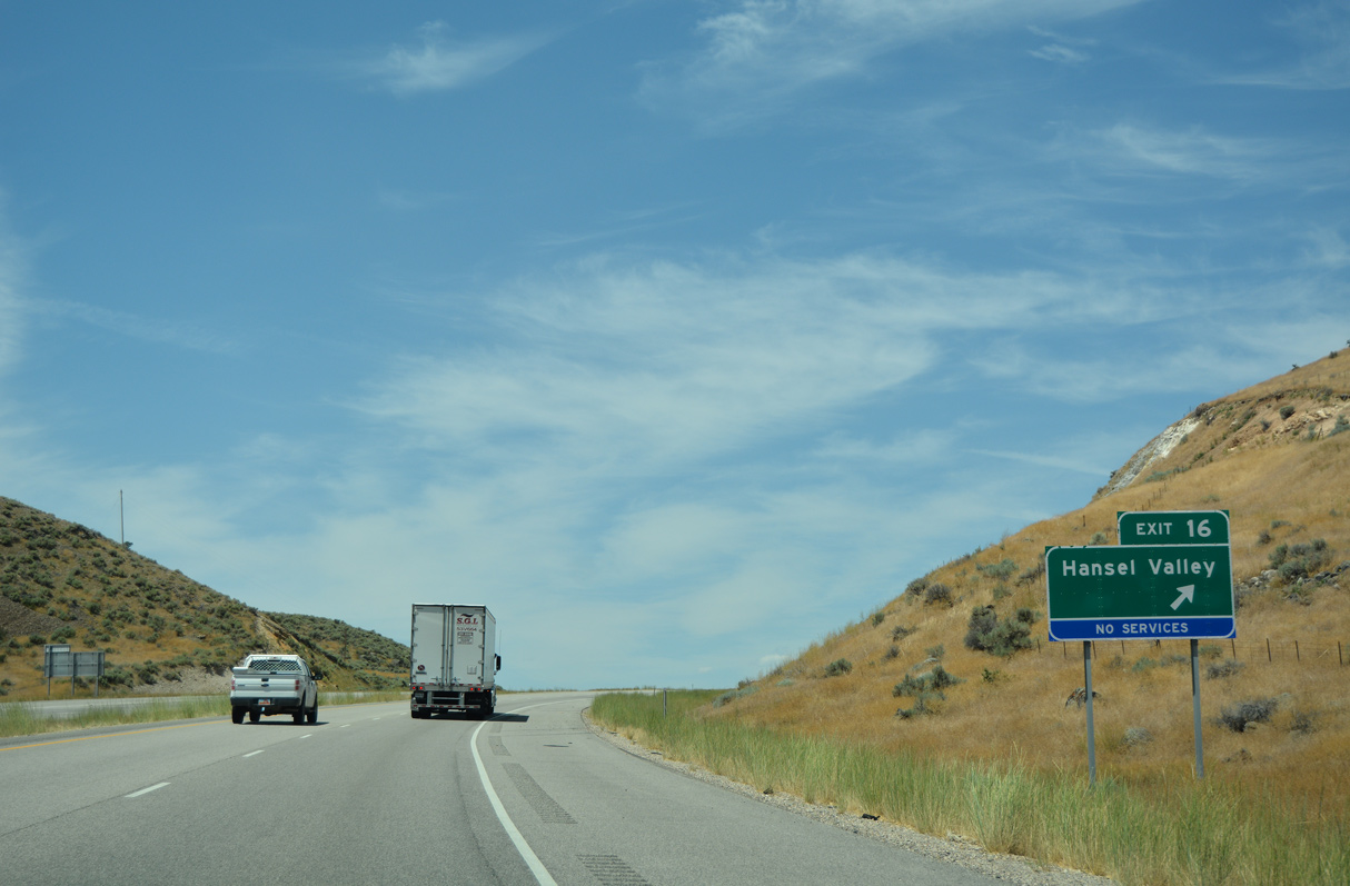
Interstate 84 traverses northern reaches of Hansel Valley west from Exit 16.
07/05/16
07/05/16
07/05/16
07/05/16

07/05/16
07/05/16
07/05/16
07/05/16
07/05/16
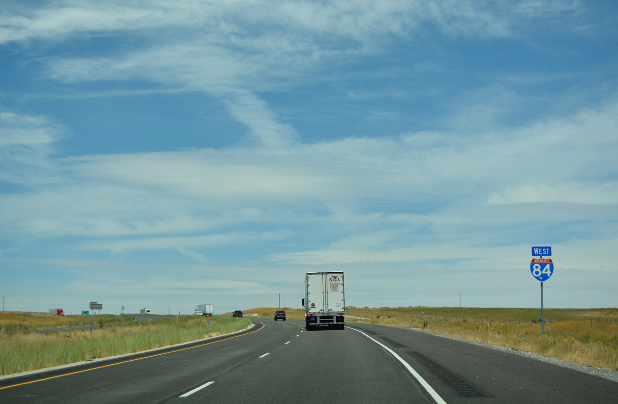
Angling northwest between the Hansel and North Hansel Mountains, Interstate 84 advances into Curlew Valley.
07/05/16
07/05/16
07/05/16
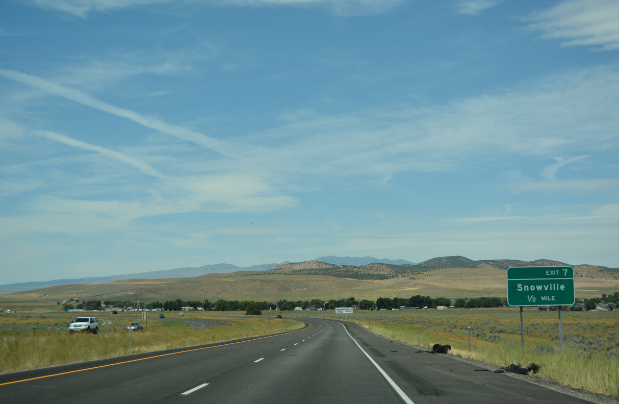
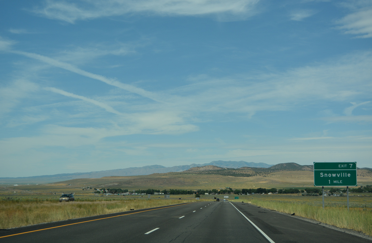
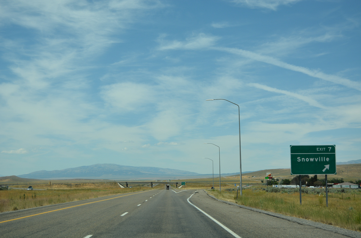
The diamond interchange at Exit 7 connects I-84 with Stone Road north into the town of Snowville.
07/05/16
07/05/16
Parallel Main Street through Snowville is former U.S. 30S and SR 30.
07/05/16
07/05/16
07/05/16
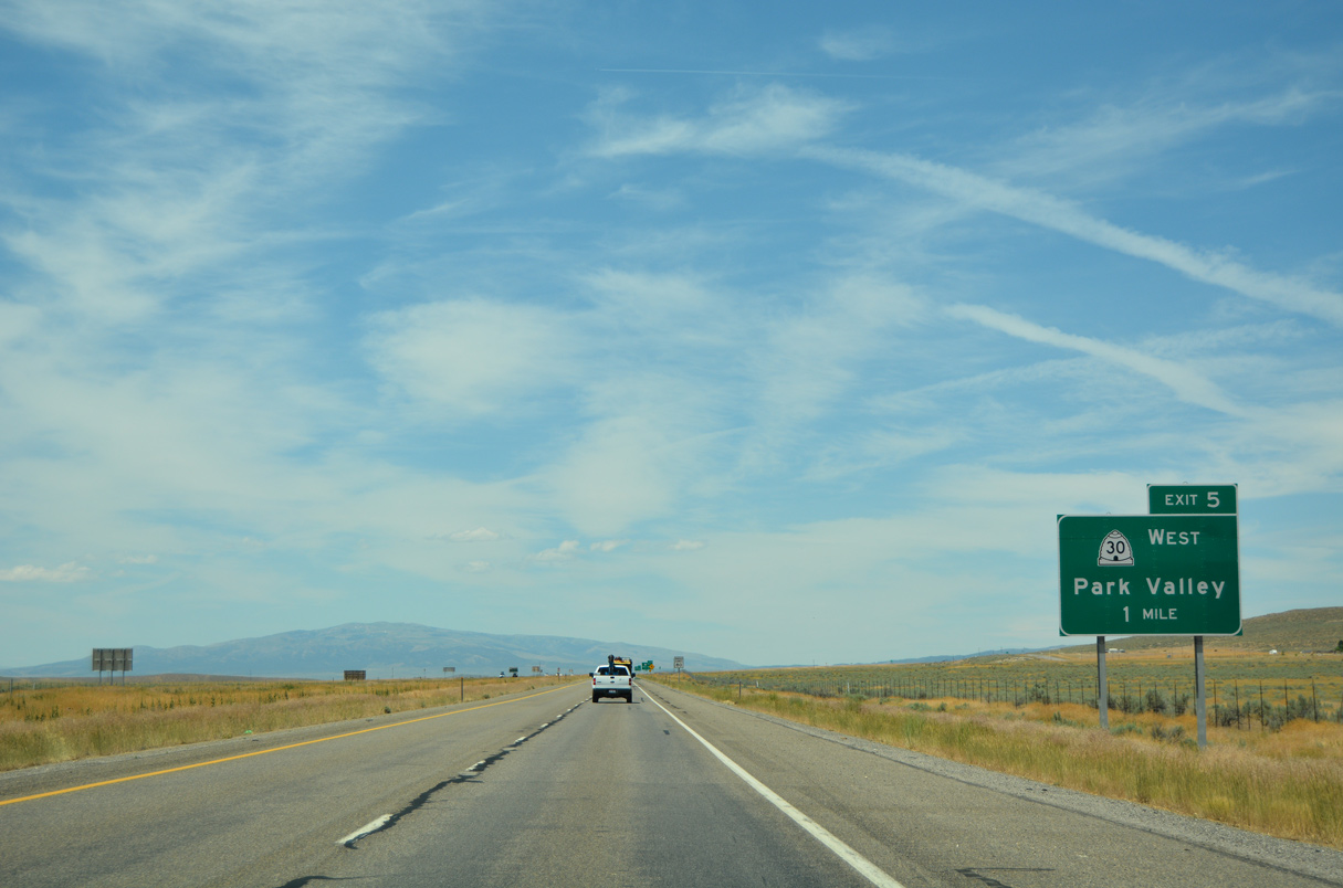
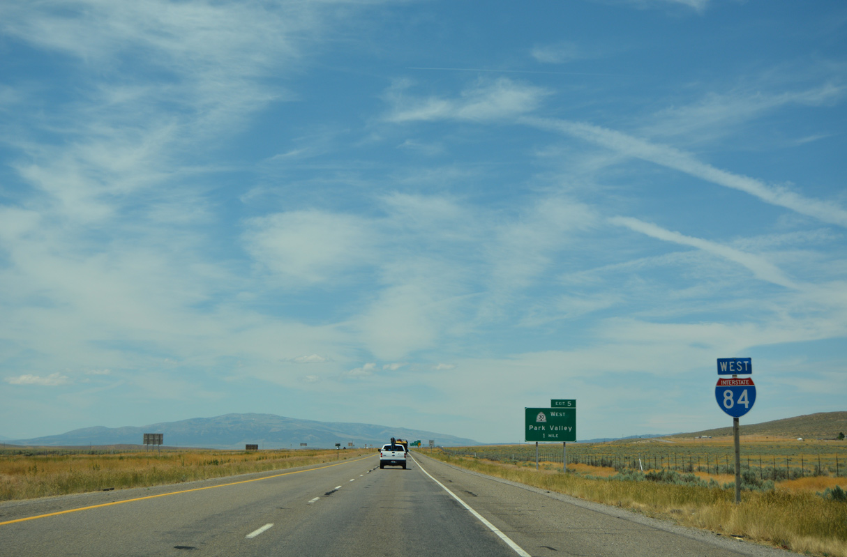
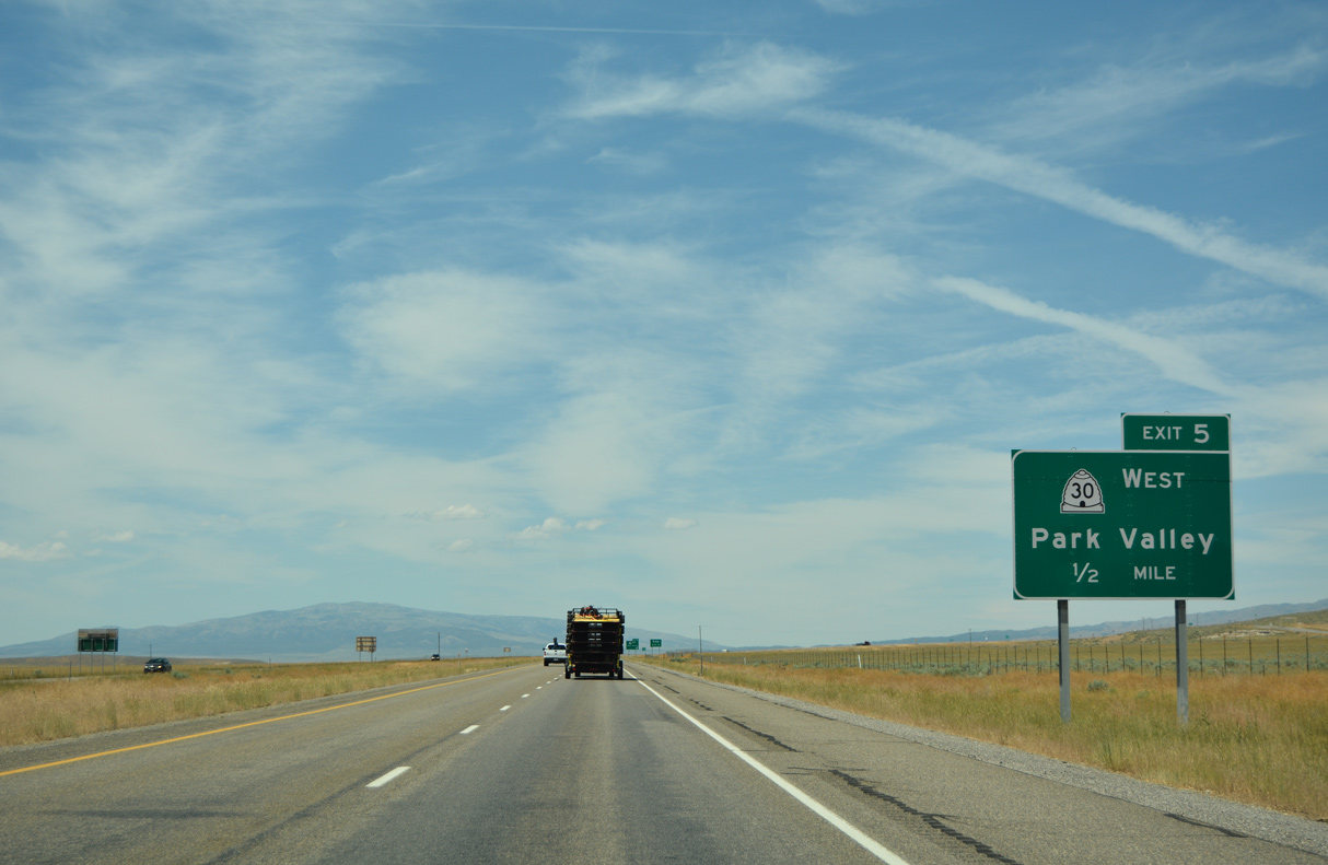
The western branch of SR 30 runs 90.66 miles southwest from 25600 N at Exit 5 to Nevada State Route 233 in Tecoma Valley.
07/05/16
07/05/16
SR 30 bee lines 15.91 miles west along old U.S. 30S to SR 42 at Curlew Junction.
07/05/16
07/05/16
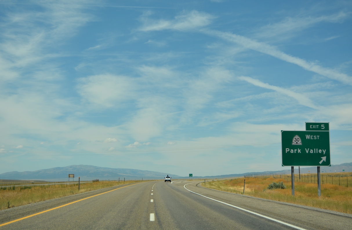
Park Valley is an unincorporated community 35.5 miles to the southwest by the Raft River Mountains.
07/05/16
07/05/16
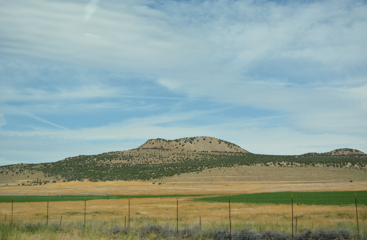
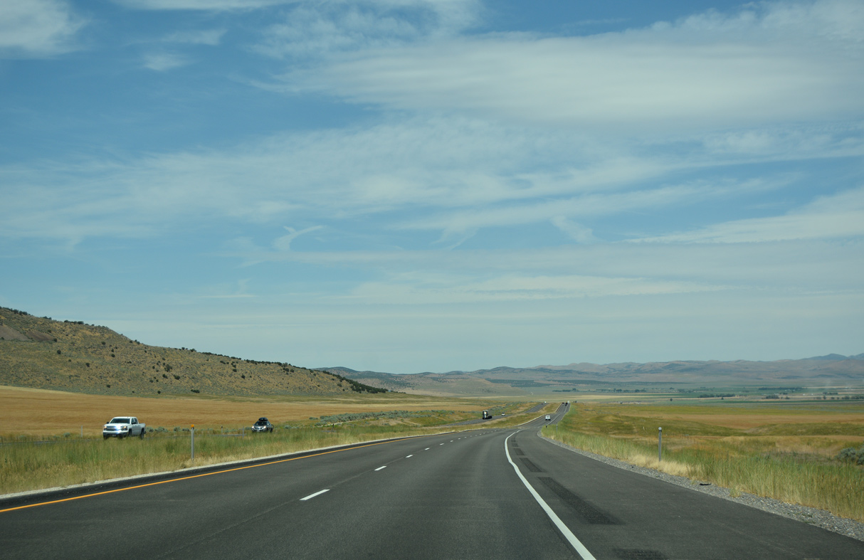
Shifting northward, Interstate 84 passes by the Stone Hills.
07/05/16
07/05/16
07/05/16
07/05/16
The Black Pine Mountains rise northwest of Curlew Valley in Cassia County, Idaho.
07/05/16
07/05/16
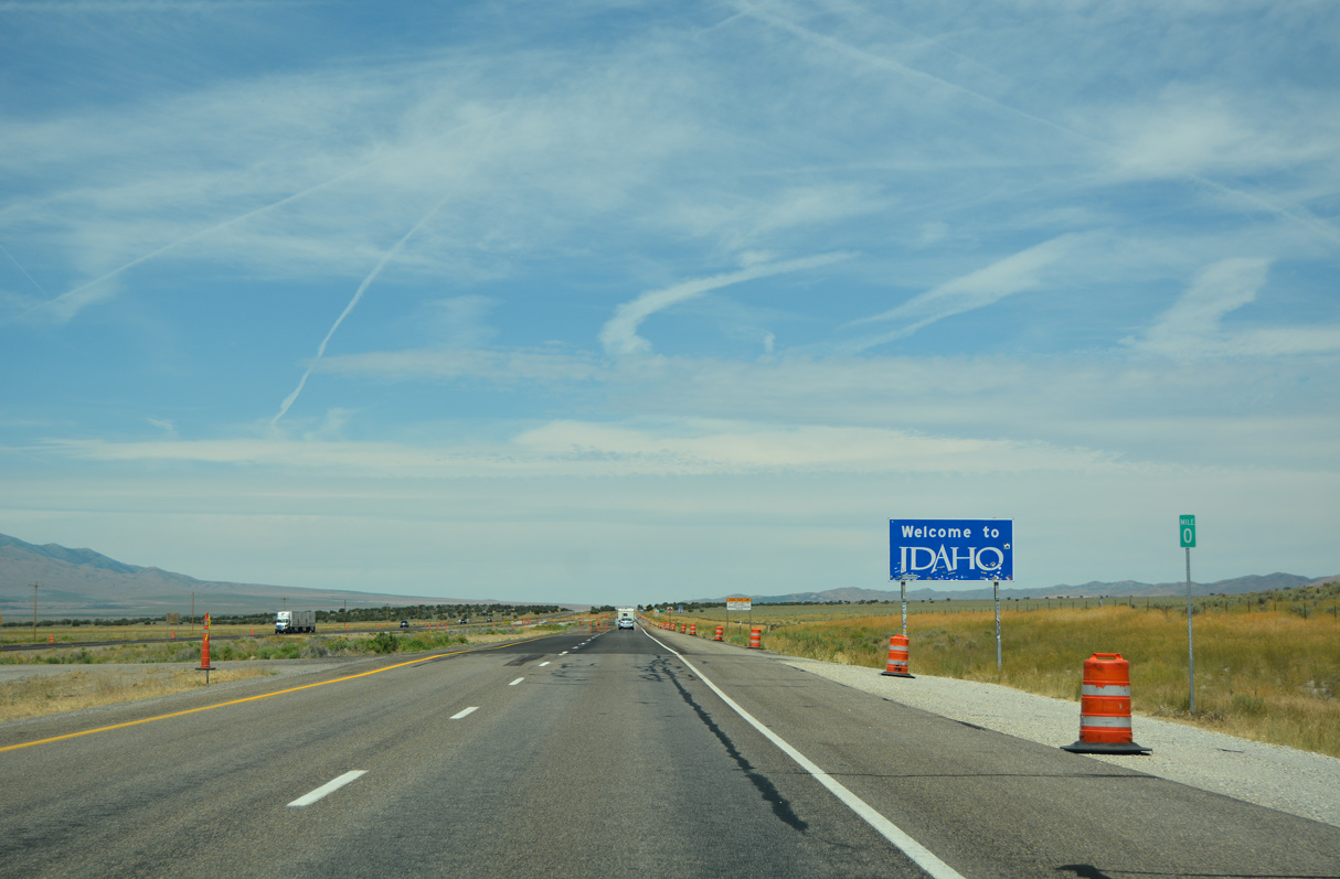
Interstate 84 enters Idaho through southwestern Oneida County.
07/05/16
07/05/16
Photo Credits:
- Alex Nitzman: 07/05/16
- ABRoads: 08/10/16
Connect with:
Page Updated Tuesday February 08, 2022.