
Interstate 85 North - Atlanta to Doraville

 North
North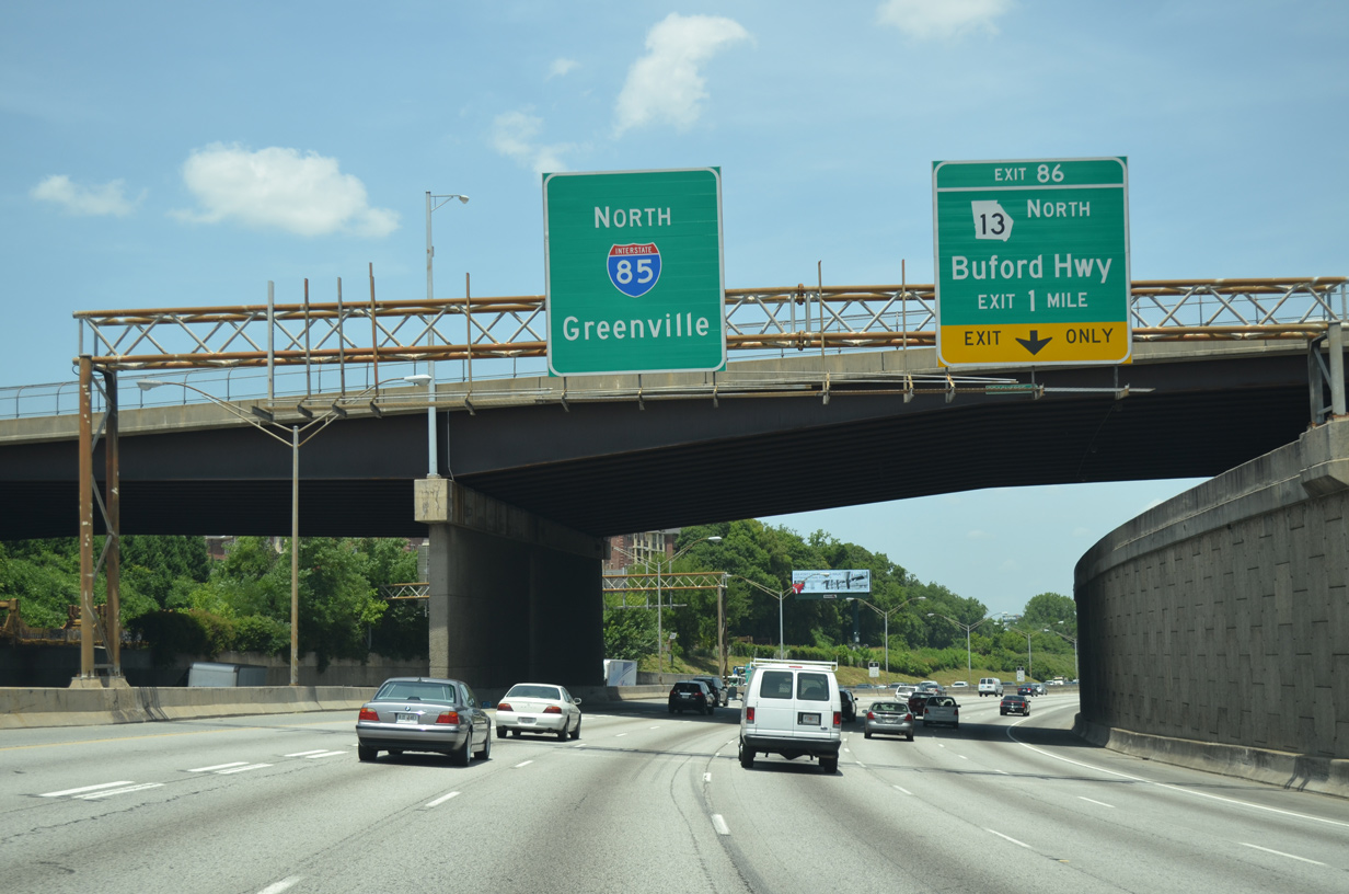
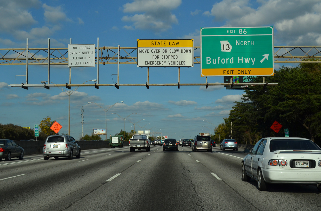
I-85 northbound leads away from the Downtown Connector with six lanes at the Peachtree Street (U.S. 19/SR 9) over crossing. Exit 86 links with parallel SR 13 (Northeast Expressway), the former alignment of I-85 from Peachtree Street, ahead of SR 237.
07/02/14
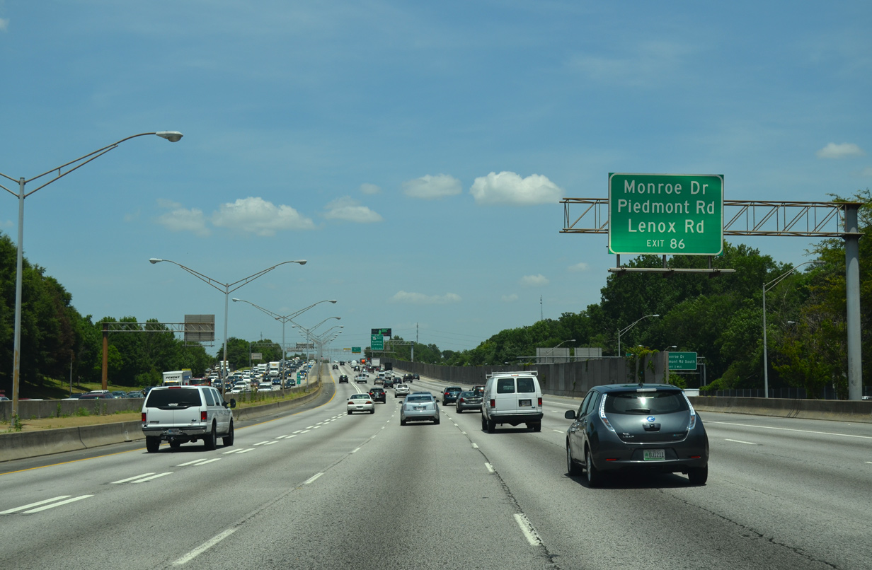
SR 13 connects with Monroe Drive at the Piedmont Heights neighborhood, Piedmont Road (SR 236) south to Morningside and north to Lindbergh, and Lenox Road to the Pine Hills community. Exit 86 also serves the Lindbergh Center Transit Station (MARTA).
07/02/14
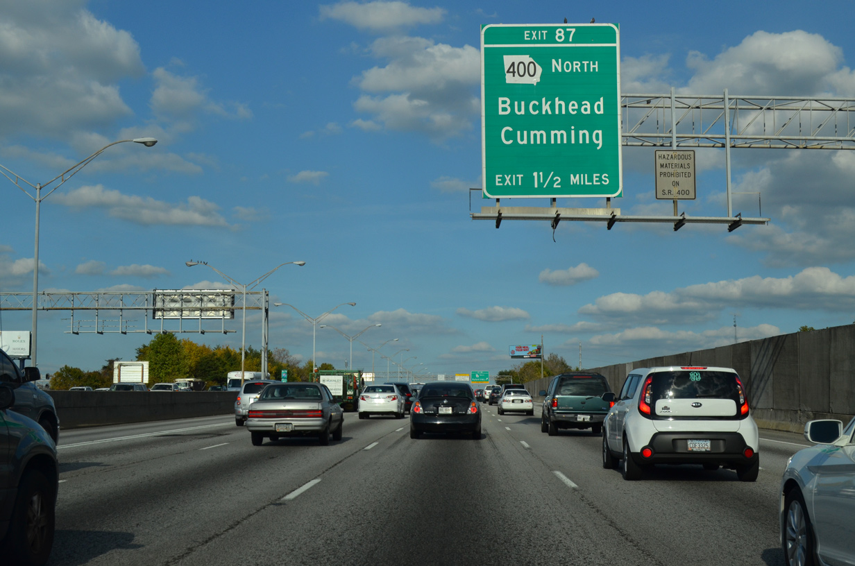
A directional T interchange (Exit 87) with SR 400 follows in 1.25 miles. Opened to traffic on August 1, 1993, the former toll road winds northward to Lenox and North Buckhead, joining Atlanta with Sandy Springs, Roswell and Alpharetta.
10/22/15
SR 13 originates from U.S. 19/SR 9 at Midtown in Atlanta. The state route follows the Buford Spring Connector freeway north to Pine Hills, where it transitions into Buford highway, a commercial boulevard extending SR 13 northeast to Doraville.
10/22/15
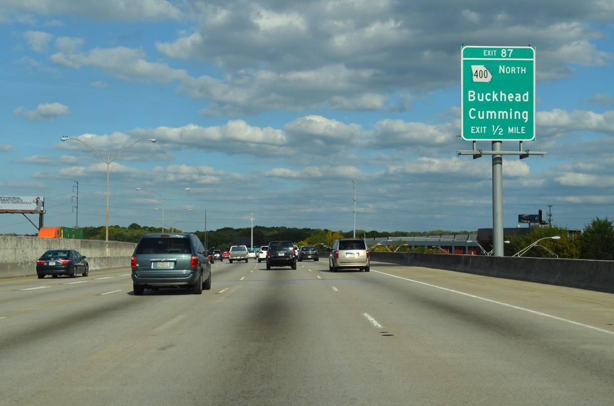
With ten overall lanes, a lengthy viaduct elevates by an industrial area and the Piedmont Heights community a half mile from Exit 87 to SR 400 north. SR 400 comprises a commuter freeway north to Fulton County and the Forsyth County seat of Cumming.
10/22/15
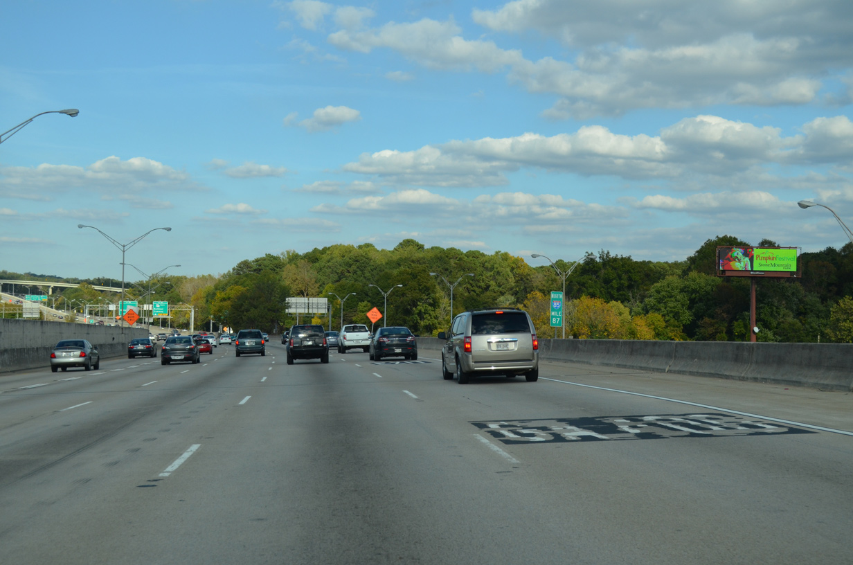
A lane drop occurs at the north end of the viaduct for Exit 87 and SR 400 north. SR 400 was tolled until November 2013, when bonds for the freeway through Buckhead were paid off.
10/22/15
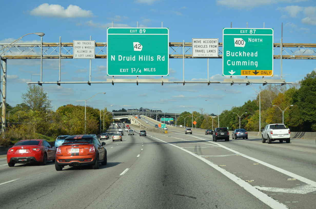
Exit 87 expands into a two lane flyover for SR 400 north. Overall SR 400 runs 53.7 miles from I-85 to SR 60 outside Dahlonega. SR 400 is one of three 400 series routes not coupled with an Interstate highway in Georgia. SR 410 at Stone Mountain and SR 422 at Athens are the others.
10/22/15
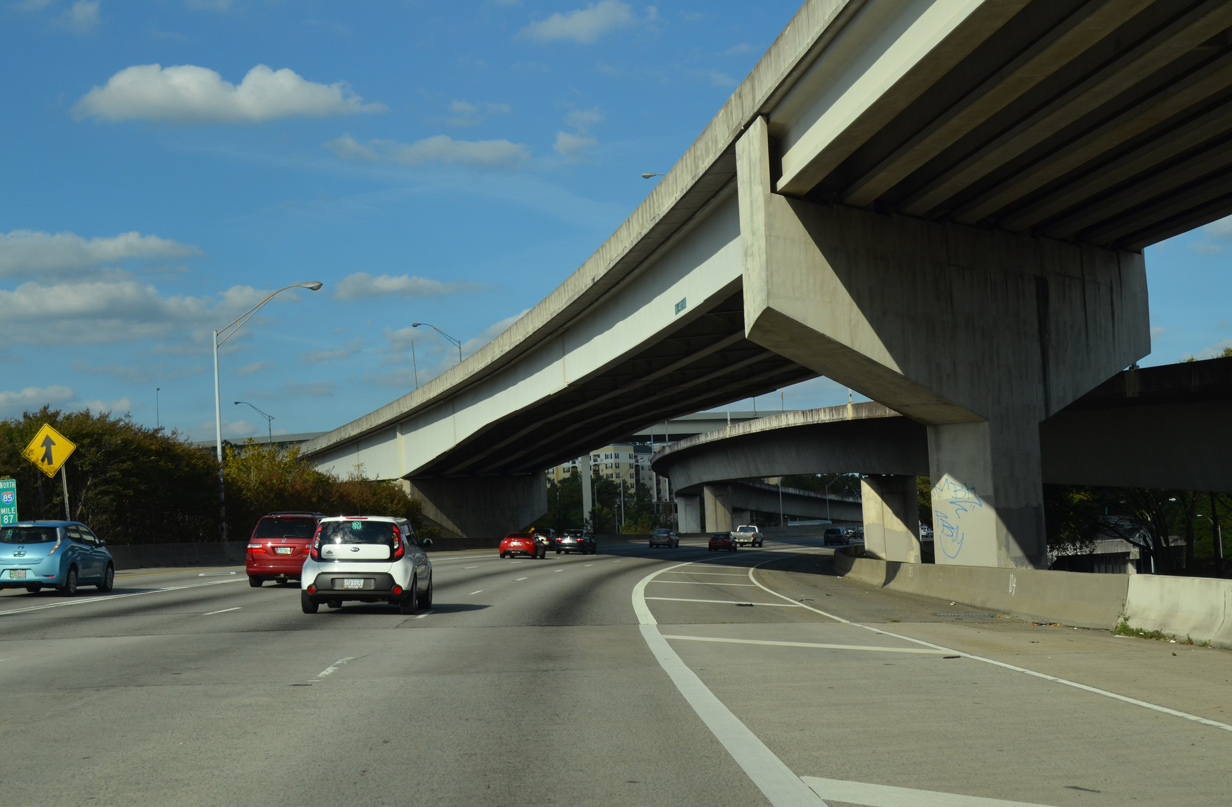
A wye interchange intermixes with the exchange at SR 400 from the north end of the Buford Connector (SR 13).
10/22/15

Originally a wye interchange provided access from I-85 north to SR 400 north and from SR 400 south to I-85 south. A $21 million project added flyovers for the remaining movements between the two freeways. Work ran from early 2012 to a ribbon cutting ceremony held on April 2, 2014.1
10/22/15
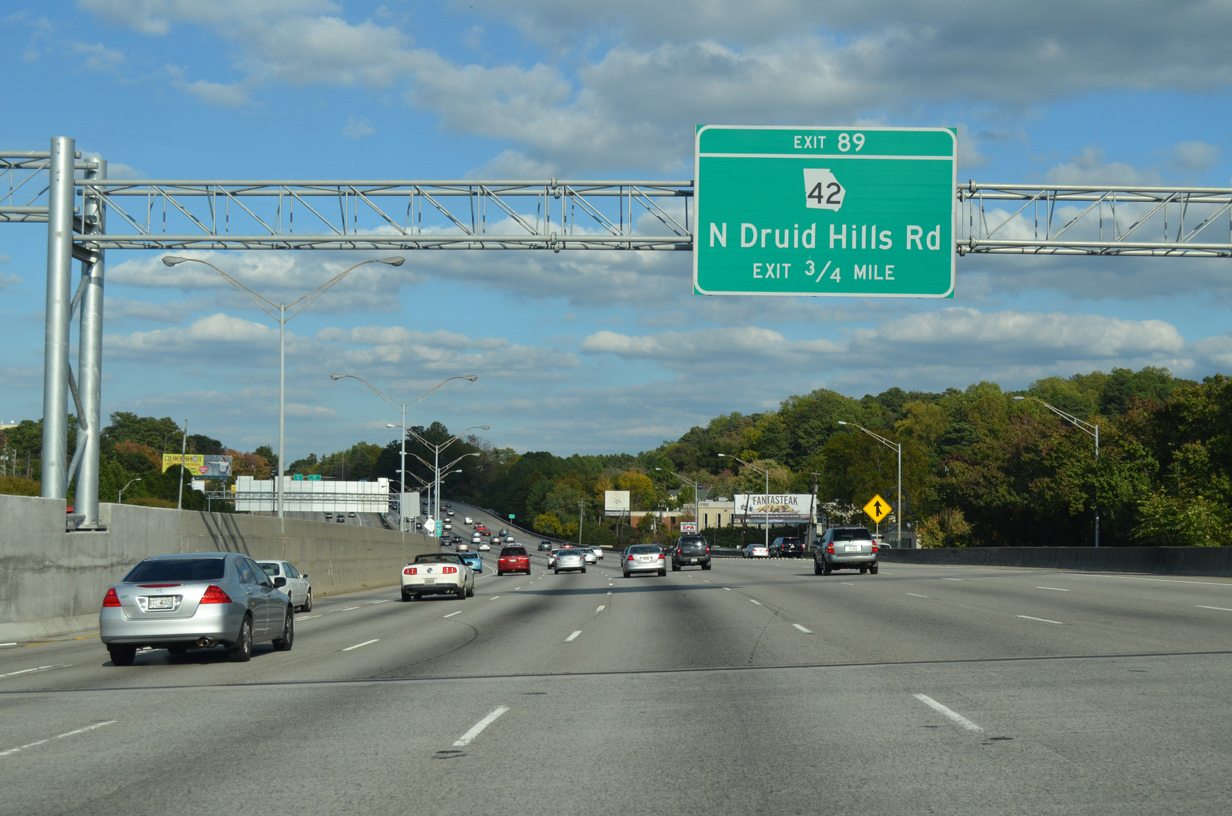
Interstate 85 advances north to a parclo interchange (Exit 89) with SR 42 (N Druid Hills Road). SR 42 comprises part of the previous U.S. 23 alignment between Atlanta and Chamblee. U.S. 23 shifted onto SR 155 between Decatur and Chamblee in 1980.
10/22/15
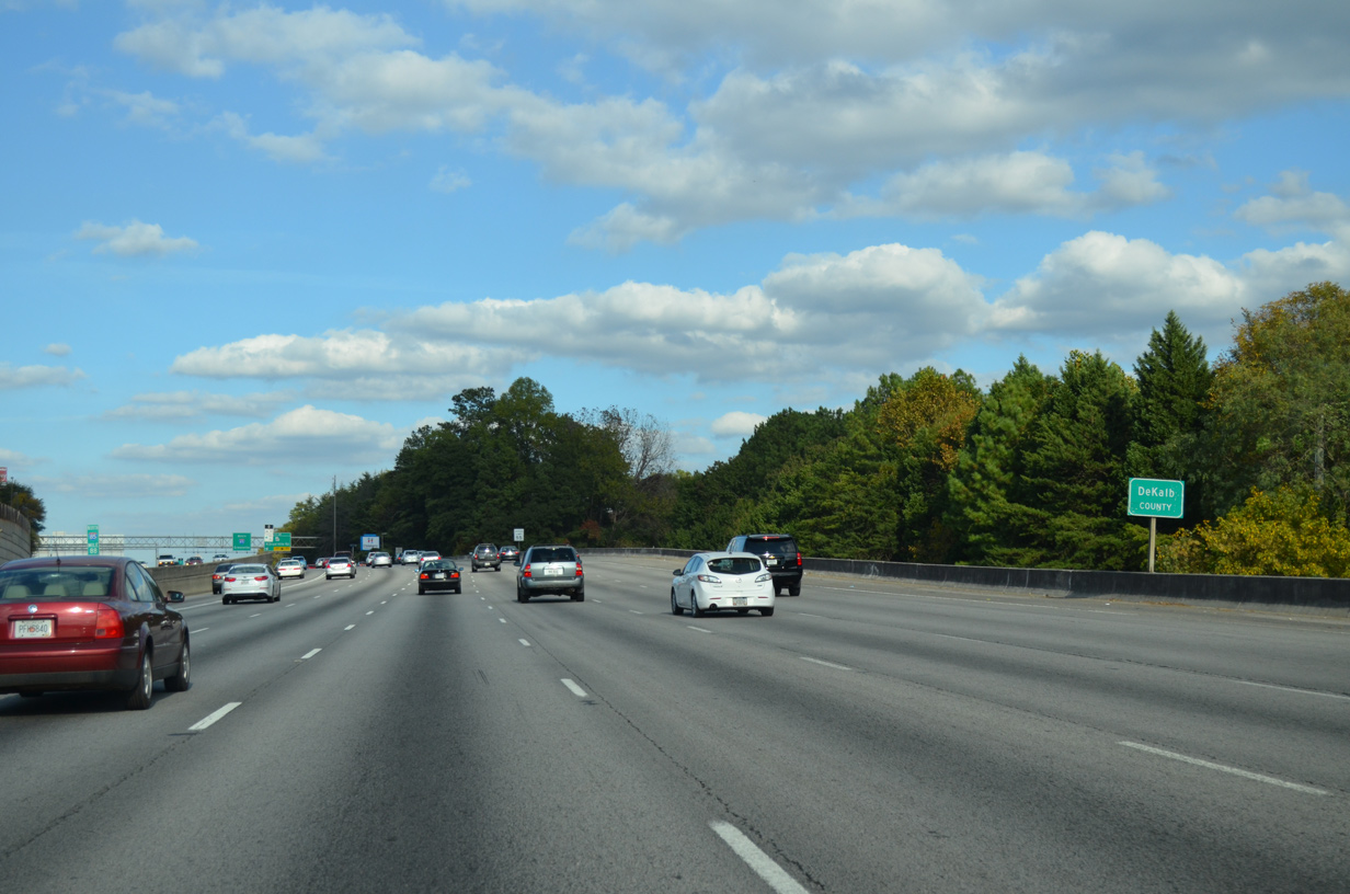
Travelers leave the city of Atlanta for unincorporated Decatur County between the suburbs of Brookhaven and Toco Hills.
10/22/15
SR 42 intertwines with the I-75 corridor from SR 49 at Byron northward to Forsyth, McDonough and Atlanta. The bulk of the 115 mile long highway coincides with U.S. 23, with the northernmost portion from Ponce De Leon Avenue in Atlanta running separate.
10/22/15
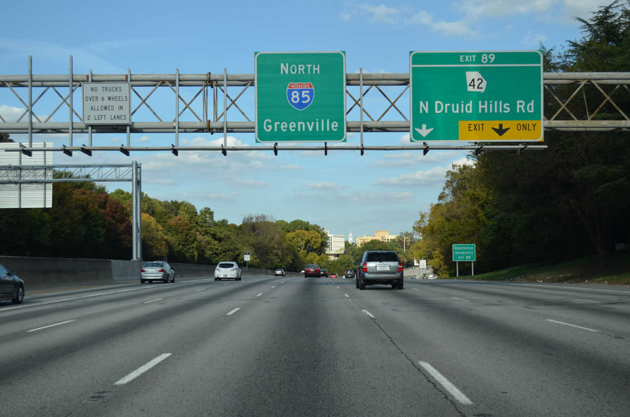
SR 42 (N Druid Hills Road) heads southeast from Exit 89 to Briarcliff Road. Druid Hills Road winds southeast to U.S. 29/78 at the Stone Mountain Freeway while Roxboro Road extends from the road north to Lenox in Atlanta.
10/22/15

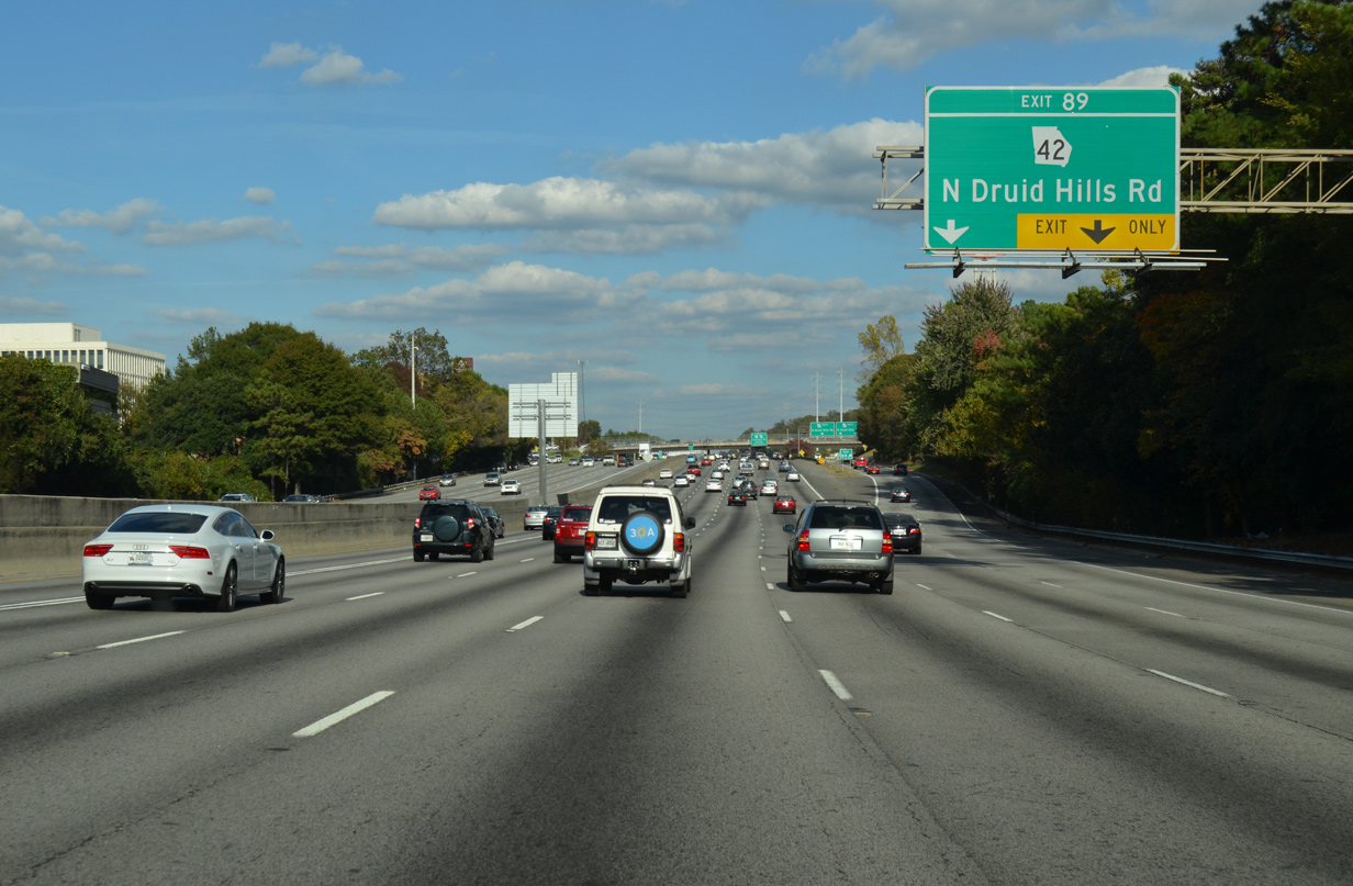
Two lanes split from the distributor roadway at Exit 89 for SR 42 (N Druid Hills Road) south through an adjacent business park and retail area. SR 42 north ends just across the North Fork of Peachtree Creek at SR 13 (Buford Highway).
10/22/15

U.S. 23/SR 155 (Clairmont Road) converge with Interstate 85 at a diamond interchange (Exit 91) in 1.25 miles.
10/22/15
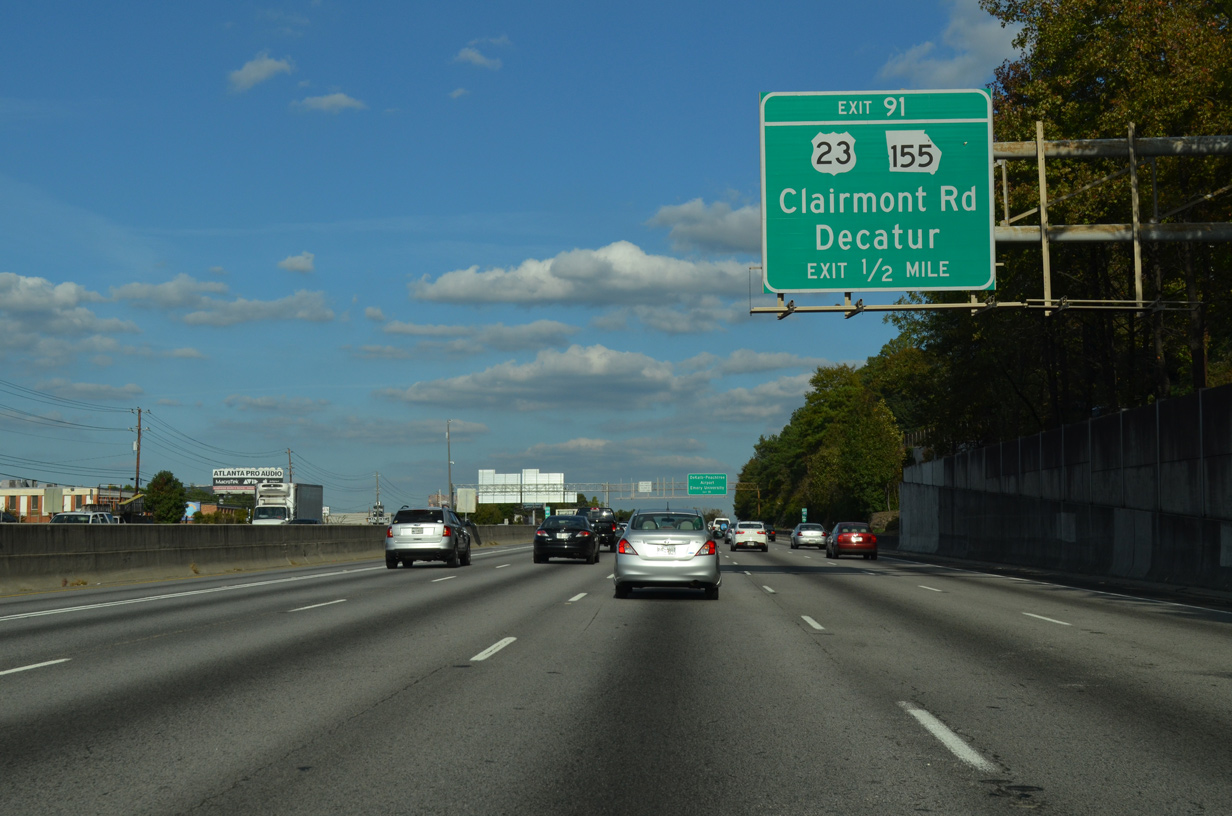
Frontage roads accompany both sides of Interstate 85 to and beyond the forthcoming ramps with U.S. 23/SR 155 (Clairmont Road). A number of businesses and apartment line the adjacent roadways.
10/22/15
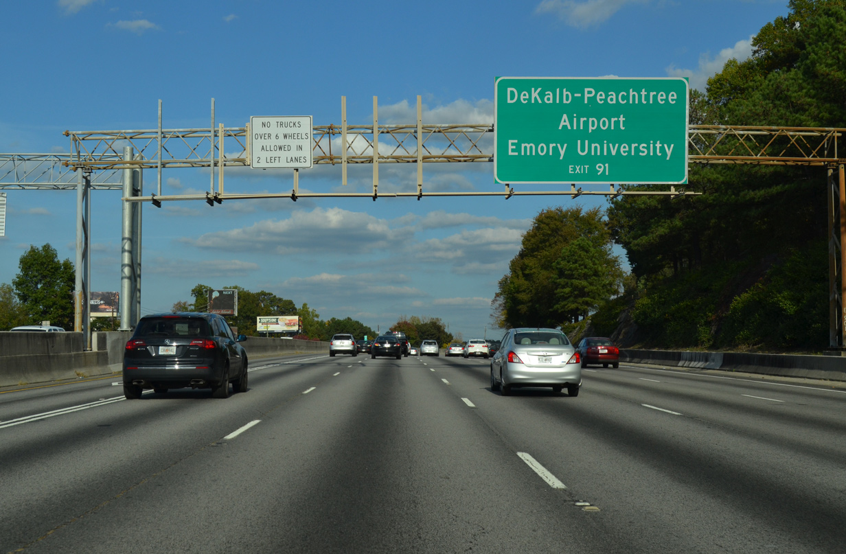
Clairmont Road extends north beyond the split with U.S. 23 at Buford Highway (SR 13) to Dekalb-Peachtree Airport (PDK). U.S. 23/SR 155 south lead to Emory University ahead of the Decatur city line.
10/22/15
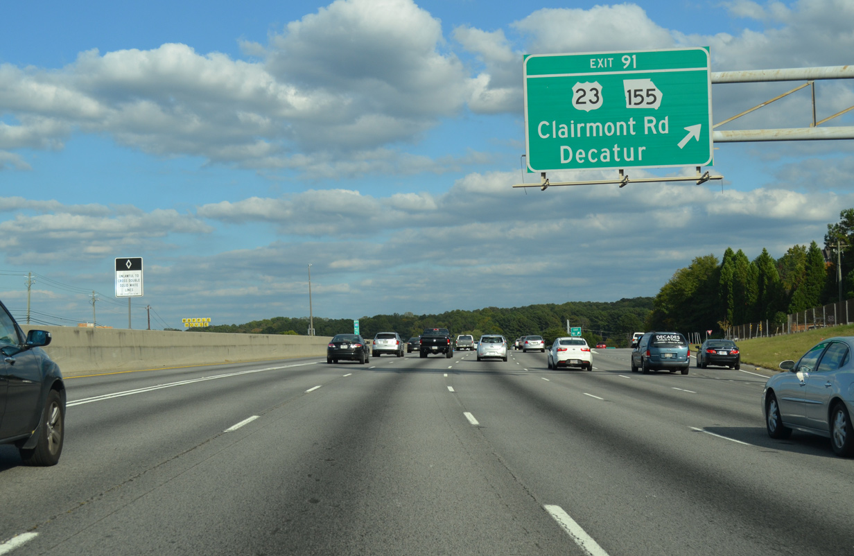
Exit 91 departs for the adjacent frontage road ahead of U.S. 23/SR 155 (Clairmont Road). U.S. 23 parallels the I-85 corridor northeast from Atlanta to Norcross, Duluth, Suwanee and Buford, where it combines with I-985 to Gainesville. SR 155 concludes a 57 mile course at SR 13 while leading south to Decatur, the east side of Atlanta and ultimately Griffin.
10/22/15
Interstate 85 winds northeast by the suburban community of Briarcliff toward Exit 93 with Shallowford Road.
10/22/15
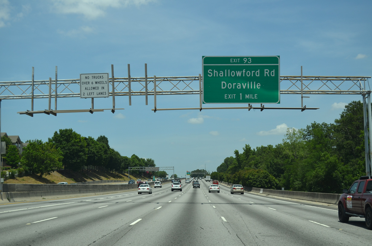
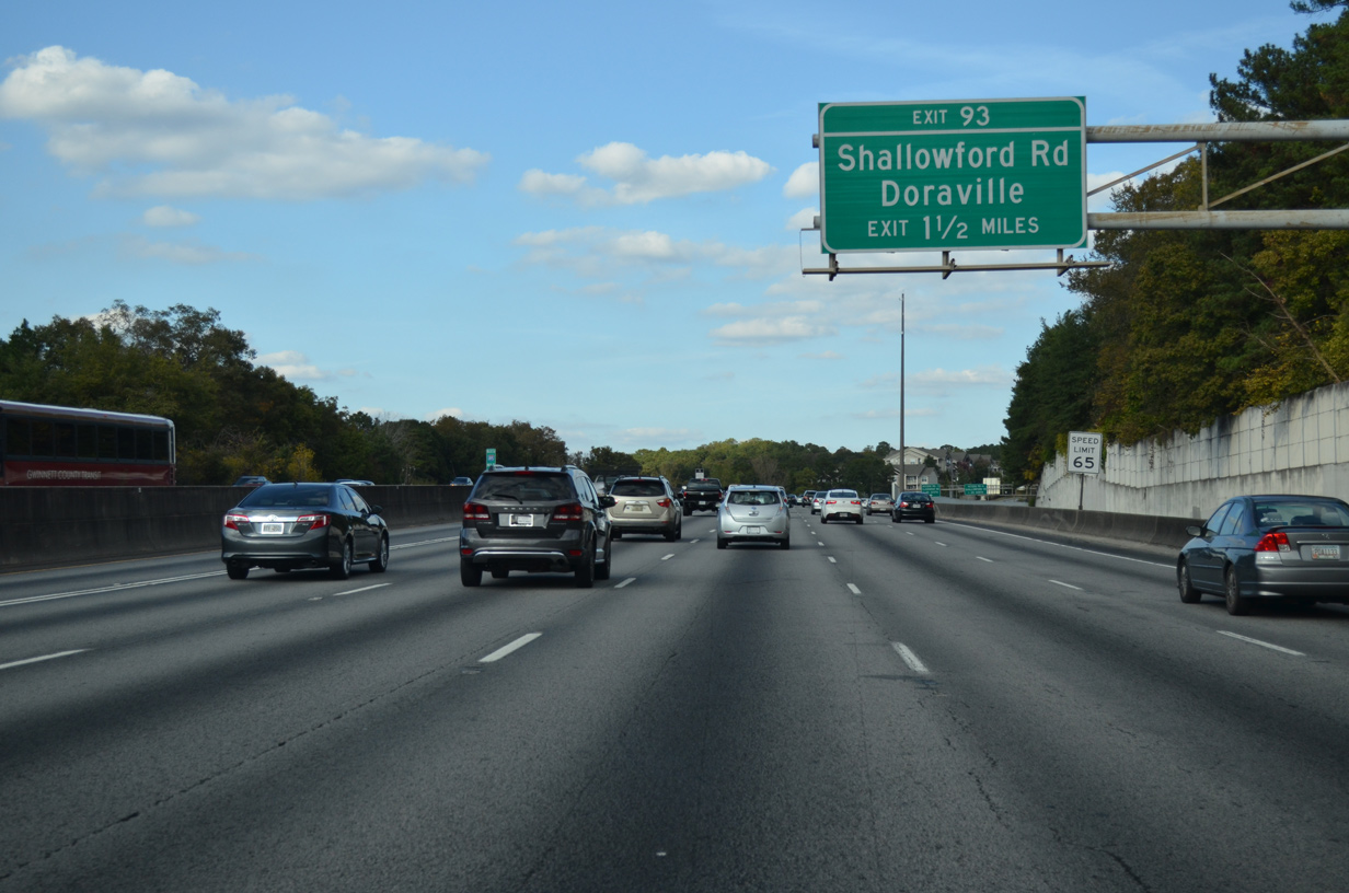
Frontage roads continue alongside I-85 to the diamond interchange (Exit 93) with Shallowford Road.
07/02/14
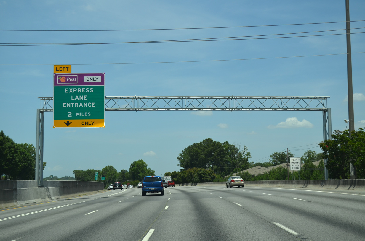
The left HOV-2 lane transitions into the tolled I-85 Express Lanes in two miles. The HOV-2 lanes north to Old Peachtree Road were converted over to High Occupancy Toll (HOT) lanes on October 1, 2011.
07/02/14
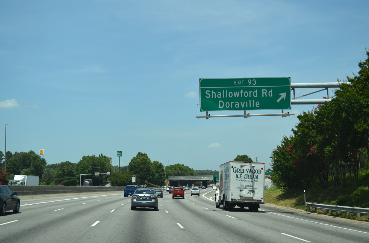
Exit 93 links with the adjacent service road ahead of Shallowford Road. Shallowford Road stems north from Briarcliff Road to I-85, Chamblee and New Peachtree Road into the city of Doraville.
07/02/14
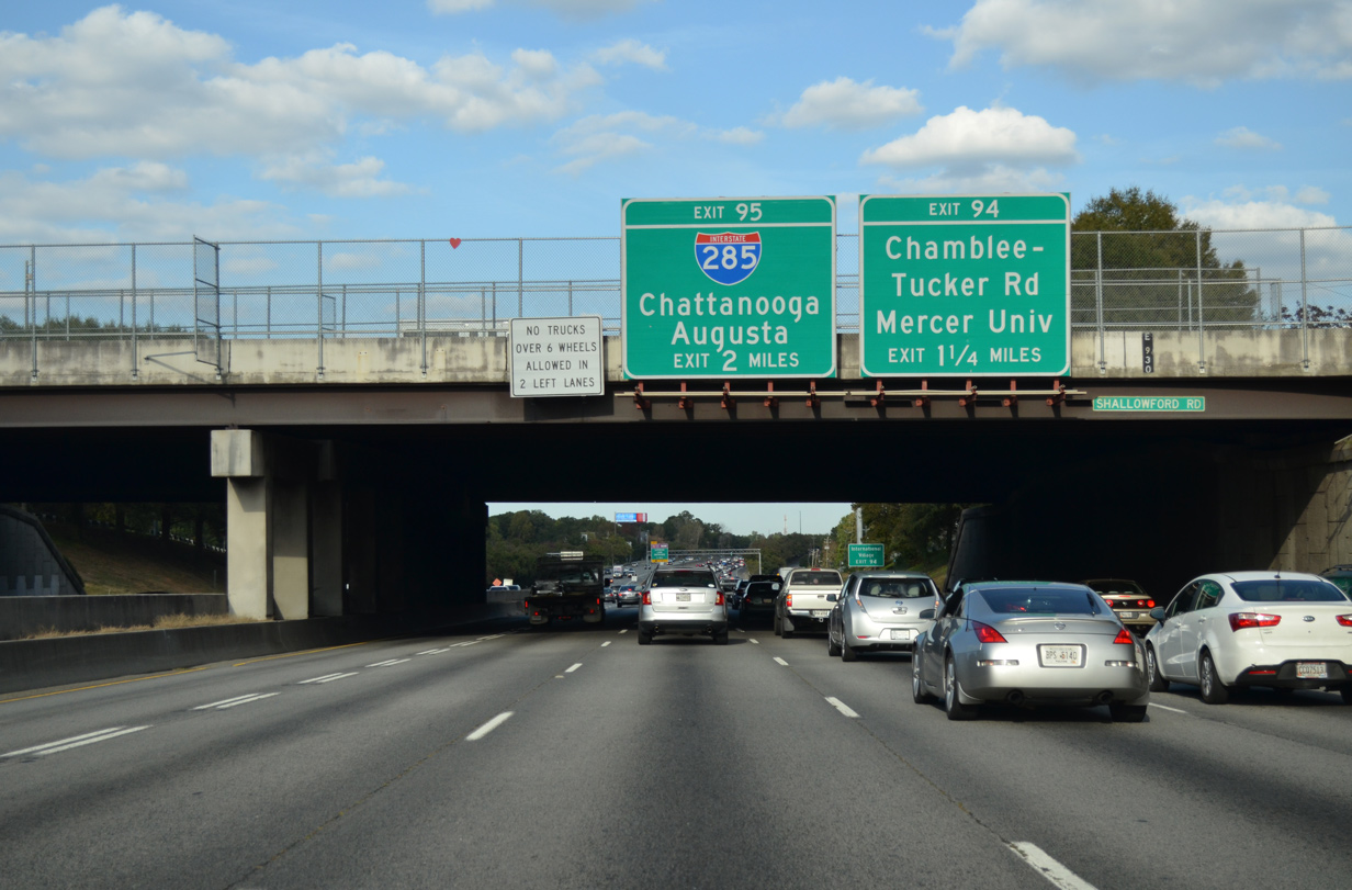
Signage for Interstate 285 (Perimeter Highway) appears two miles out at the Shallowford Road overpass. The ensuing exit along I-85 north connects with Chamblee-Tucker Road.
10/22/15
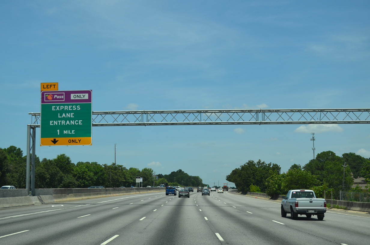
The I-85 Express Lanes commence in one mile. The HOT lanes use variable pricing depending upon traffic flow and time of day. They operate 24 hours a day.
07/02/14
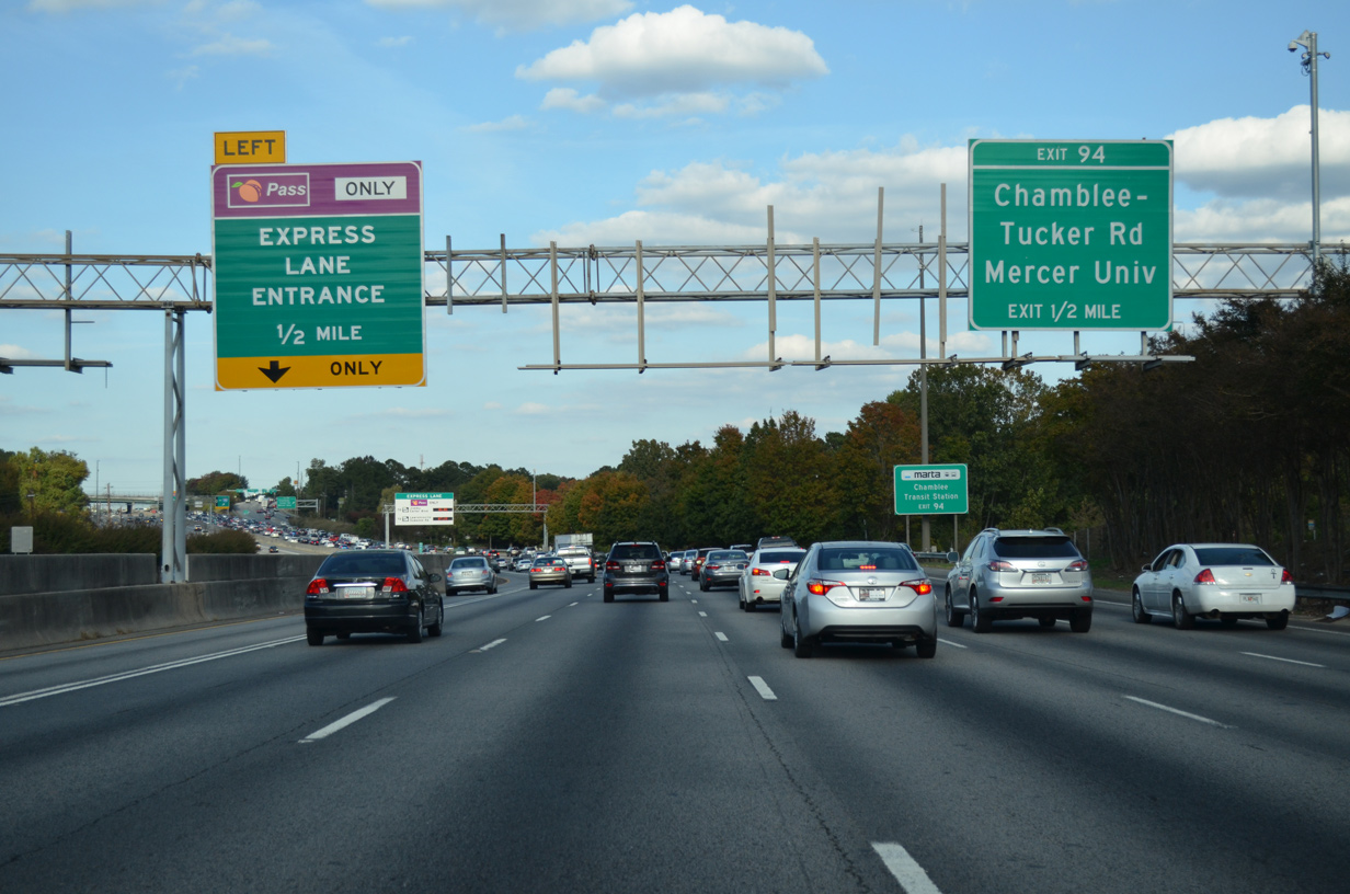
One half mile ahead of both the I-85 Express Lanes and Exit 94 for Chamblee Tucker Road on I-85 north. Chamblee Tucker Road leads east from the city of Chamblee to Mercer University, I-285 at Exit 34 and SR 236 (Lavista Road) at the suburb of Tucker.
10/22/15
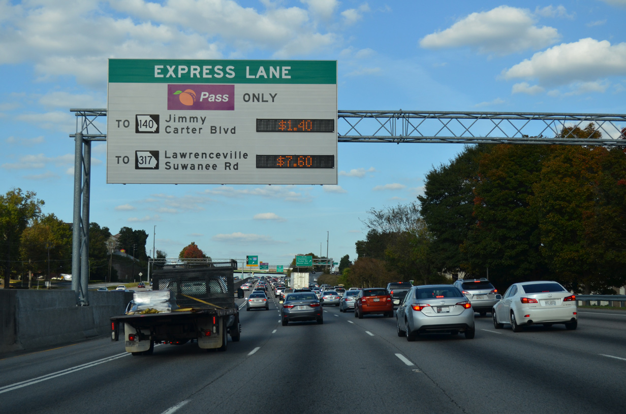
A toll schedule sign precedes the egress point from the HOV-2 lane for Interstate 285. Subsequent signs are posted further north along I-85 ahead of other ingress points.
10/22/15

Exit 94 leaves Interstate 85 north for Chamblee and a series of industrial and office parks fronting the freeway along Presidential Parkway and a north side service road.
10/22/15
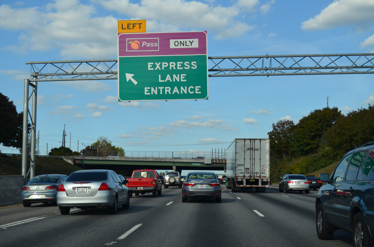
The I-85 Express Lanes begin at the Chamblee Tucker Road overpass. The HOT lanes stretch 16 miles northeast to Exit 109 near Duluth.
10/22/15
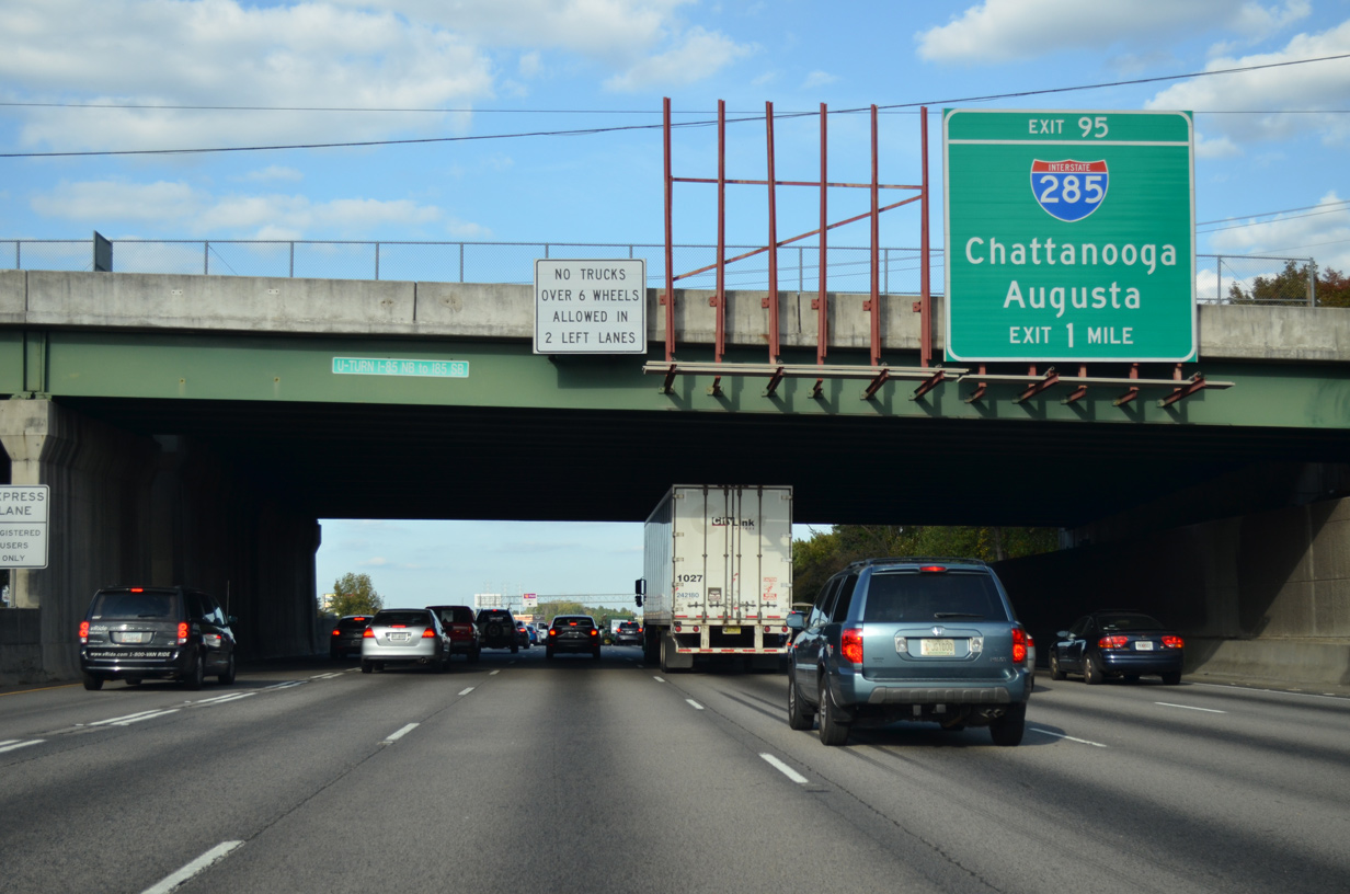
I-85 progresses northward with six lanes to the locally known "Spaghetti Junction", the four level interchange (Exit 95) with Interstate 285.
10/22/15
A transponder reader operates just north of the Chamblee Tucker Road overpass at the first toll collection point of the I-85 Express Lanes.
10/22/15
Interstate 285 encircles the city of Atlanta along a 64 mile long loop. The commuter route is well traveled, linking I-20, I-75 and I-85 to Smyrna and Marietta to the north and Forest Park and College Park to the south.
10/22/15

I-285 north / outer loop circles west across north Dekalb County to Sandy Springs and north Fulton County. Ramps for southbound combine ahead of the exit for Chamblee Tucker Road as the inner loop of I-285 progresses toward Clarkston, Decatur and the western Dekalb County suburbs.
10/22/15
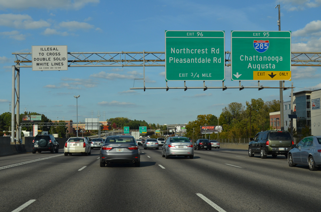
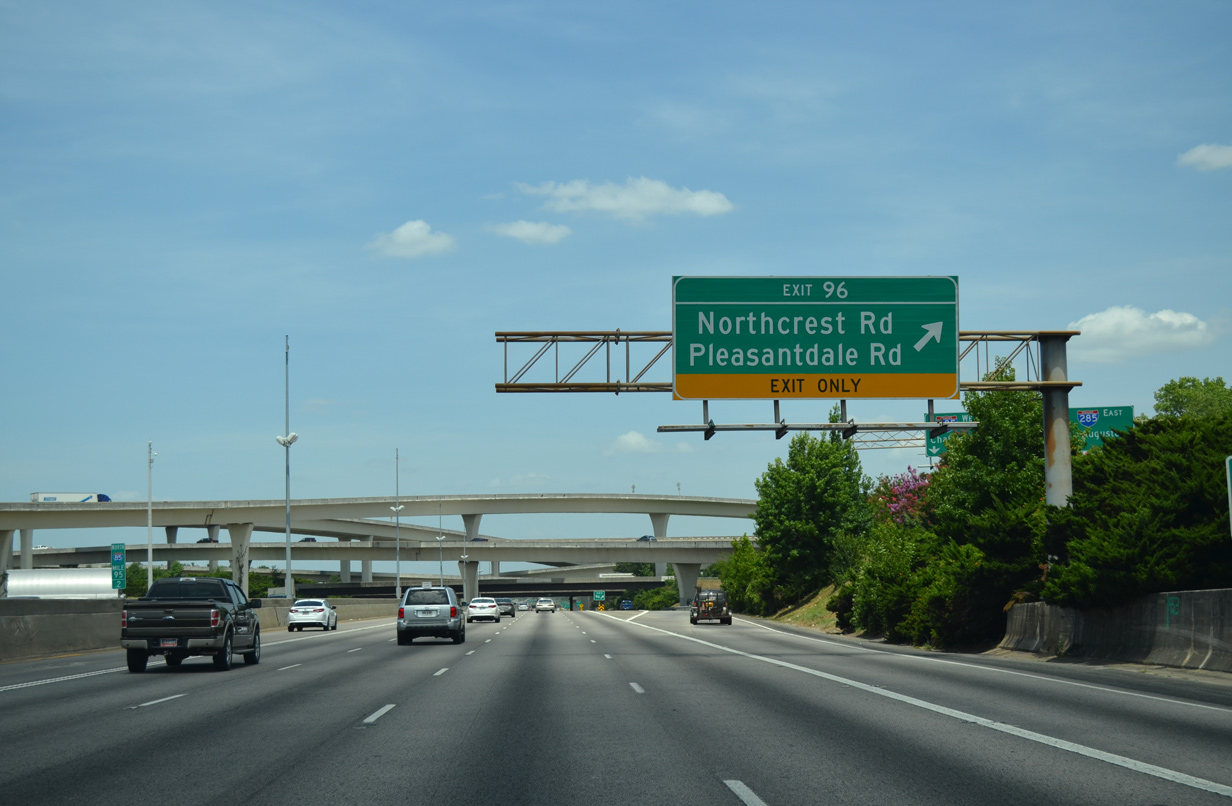
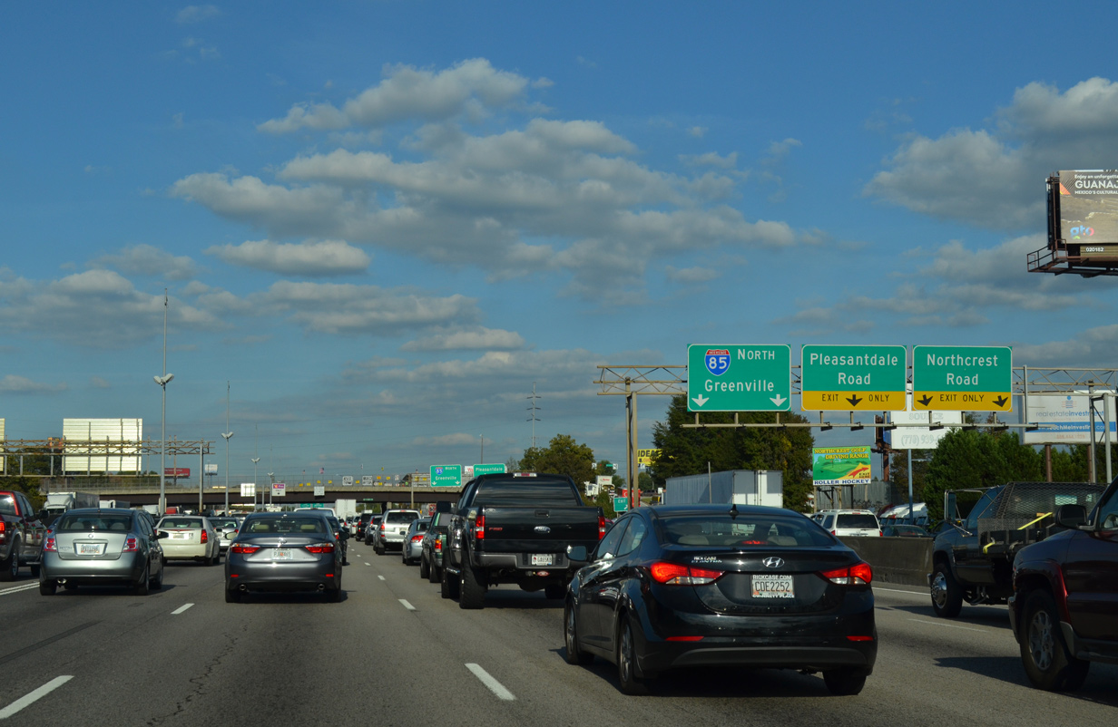
Departing from within forthcoming Spaghetti Junction is the lengthy collector distributor roadway (Exit 96) to Northcrest and Pleasantdale Roads.
07/02/14

Two lane flyovers partition for the respective directions of the Perimeter Highway. Northward I-285 has two interchanges within the city of Doraville. Southward the Atlanta Beltway travels seven miles to the Stone Mountain Freeway (U.S. 78/SR 410).
07/02/14
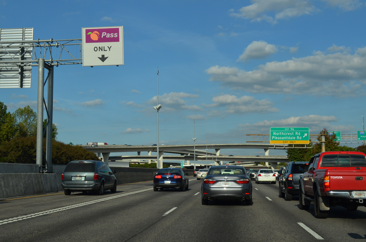
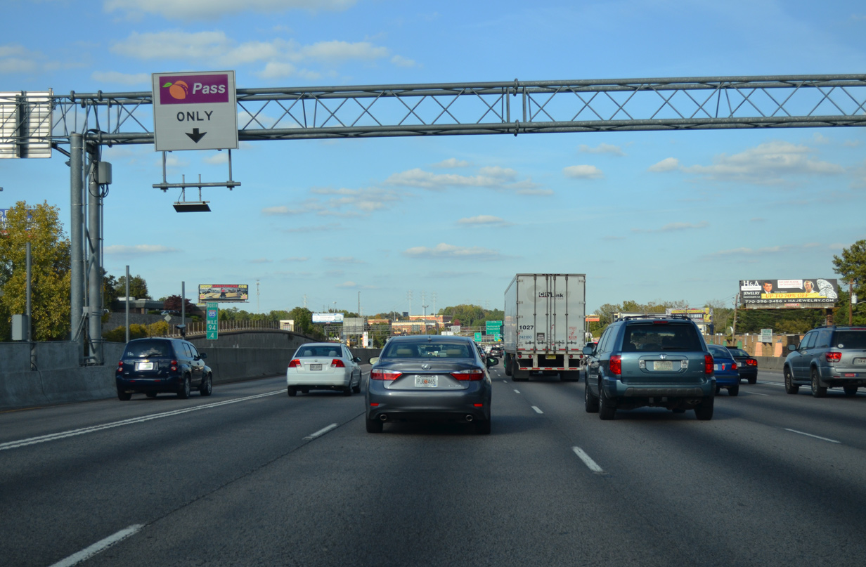
Signs appear periodically as travelers advance northward along Interstate 85 advising of the Peach Pass requirement for the I-85 Express Lane.
10/22/15
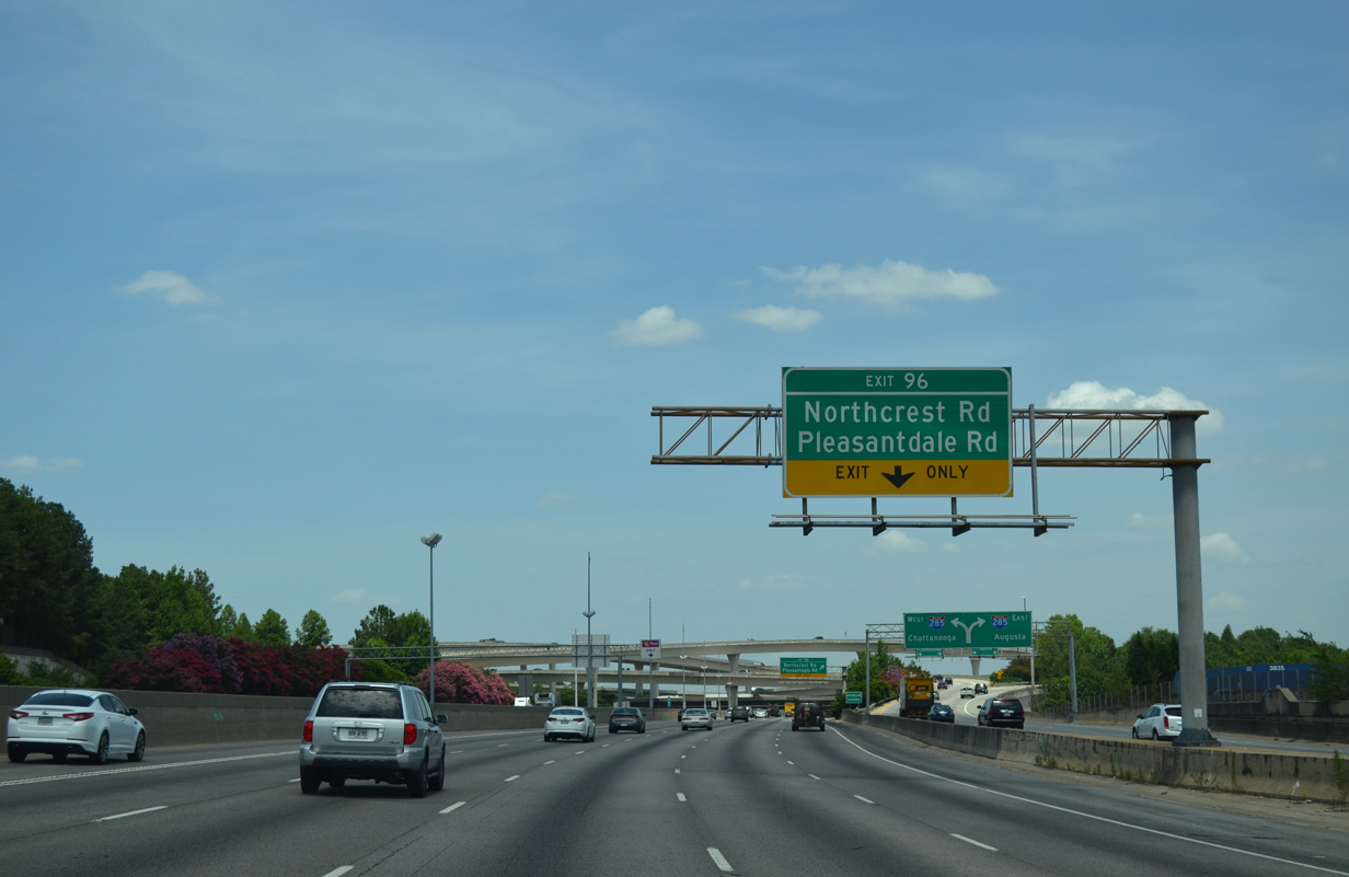
Exit 96 leaves I-85 north for Northcrest Road, a local road leading south from Northcrest 85 Business Park and Oakcliff Road in Doraville to Chamblee Tucker Road at Embry Hills Shopping Center.
07/02/14
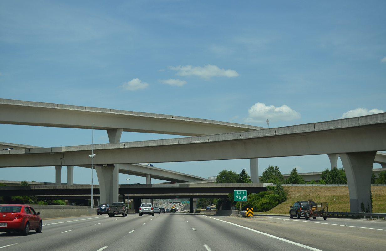
Formally named the Tom Moreland Interchange after a long time GDOT Commissioner who retired in May 1987 to go into private business, Spaghetti Junction is often congested during peak hour traffic.2
07/02/14
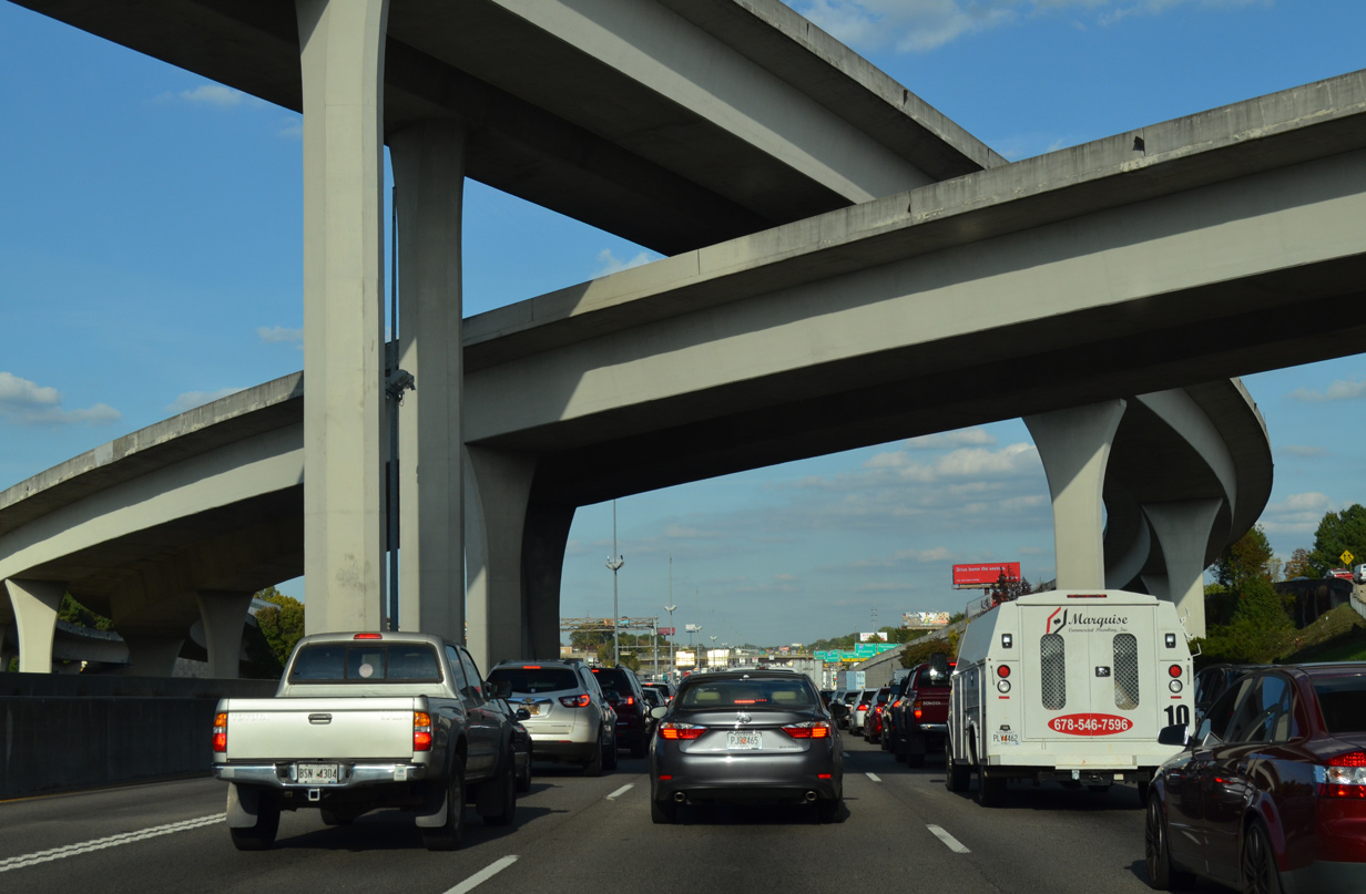
$86 million in construction between April 1979 and June 9, 1987 upgraded the former cloverleaf interchange that was nicknamed Malfunction Junction. Work on the 311 acre exchange included the construction of 12 ramps and 14 bridges, with the highest flyover rising to 90 feet. A 1987 contest sponsored by WSB (TV) nicknamed the junction the DeKalb Superlooper.2
10/22/15
The flyover ramp from I-285 south to I-85 north combines with the c/d roadway for Northcrest and Pleasantdale Roads. A second entrance ramp from I-285 north provides local access to Doraville.
10/22/15
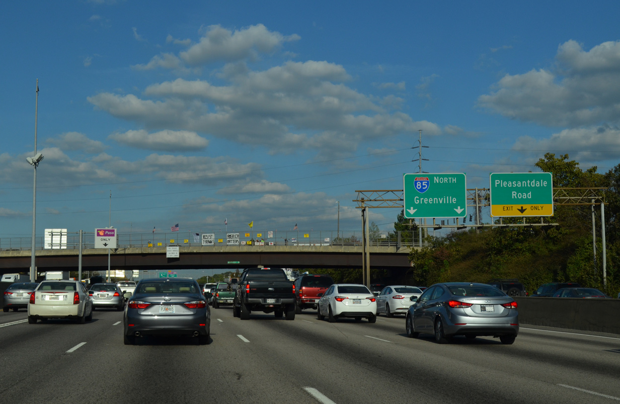
A parclo interchange joins the c/d roadways at Exit 96 with Northcrest Road. A diamond interchange follows with Pleasantdale Road, an arterial leading north to east Doraville and Norcross Southern Industrial District and southeast by a number of apartment complexes to Tucker Norcross Road.
10/22/15


References:
- "I-85/GA 400 Flyover Ramps Open Today." WABE, April 2, 2014.
- "Superlooper takes snarl out of traffic." The Atlanta Journal and The Atlanta Constitution, September 6, 1987.
Photo Credits:
- Brent Ivy: 07/02/14
- AARoads: 10/22/15
Connect with:
Page Updated Monday November 02, 2015.