
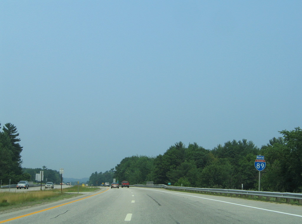
Interstate 89 North - Concord to Sunapee

 North
North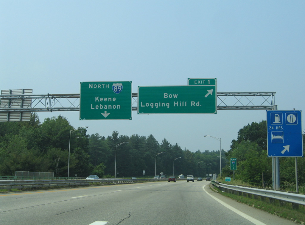
The southbound on-ramp to I-89 from I-93 joins the freeway as Exit 1 loops away to South Street north and Logging Hill Road at Bow Mills.
06/27/05
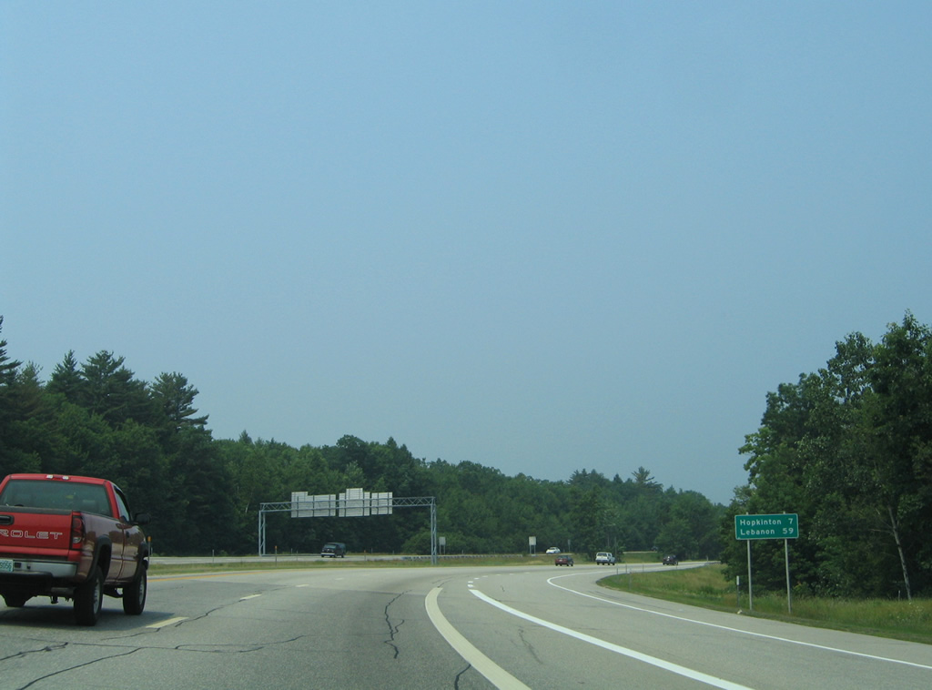
Leaving Concord, Interstate 89 north reaches the town of Hopkinton in seven miles. Lebanon follows in less than an hour.
06/27/05
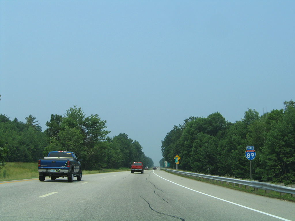
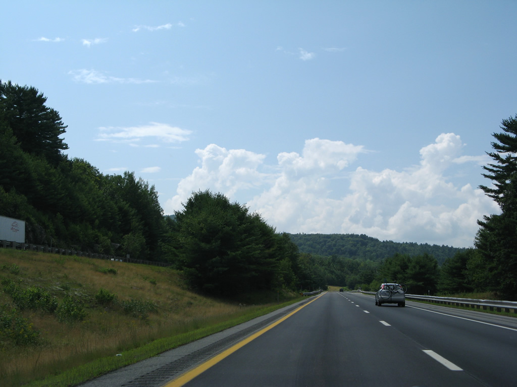
Interstate 89 heads northwest by the first reassurance marker. The freeway enters the city of Concord as it straddles Silver Hill northward.
06/27/05
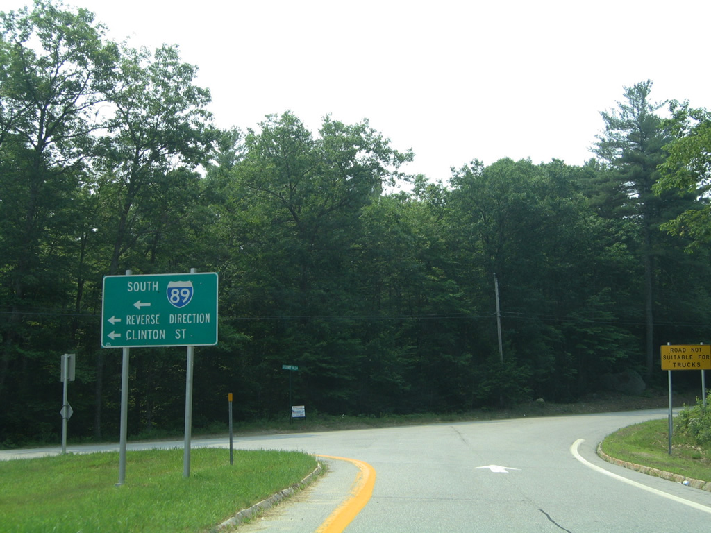
Forthcoming NH 13, a 43.4 mile route south to Massachusetts Route 13 at Townsend, begins in Downtown Concord at U.S. 202/NH 9 (Pleasant Street).
06/27/05
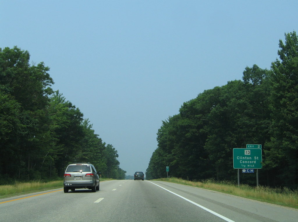
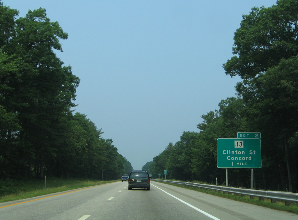
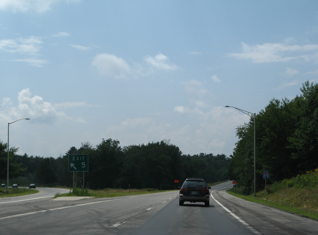
A half mile ahead of the parclo interchange (Exit 2) with NH 13 (Clinton Street) on Interstate 89 north.
06/27/05
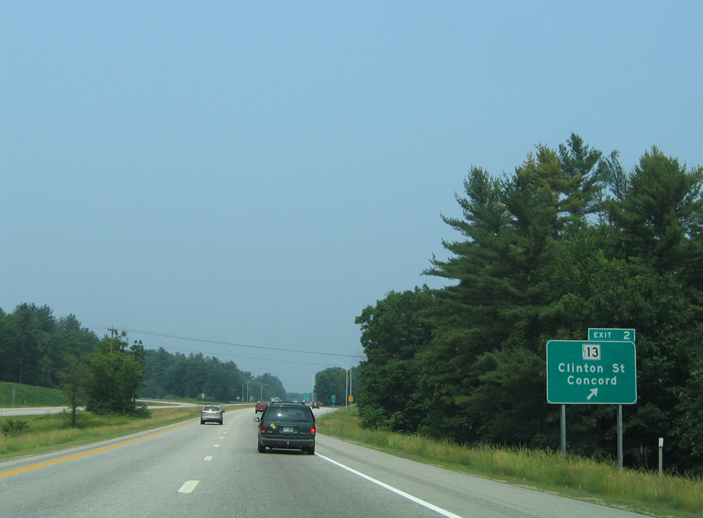
Exit 2 departs I-89 north for NH 13 (Clinton Street) northeast to South Street and southwest to Pages Corner in Dunbarton.
06/27/05
Interstate 89 curves westerly from Silver Hill to traverse an area of wetlands between Turkey Pond and Little Turkey Pond.
06/27/05
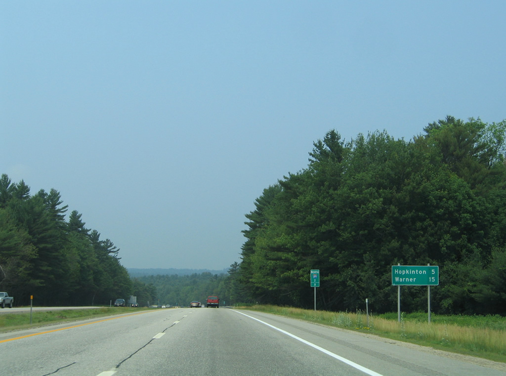
Weaving through adjacent Hopkinton, I-89 north reaches the town of Warner afterwards in 15 miles.
06/27/05
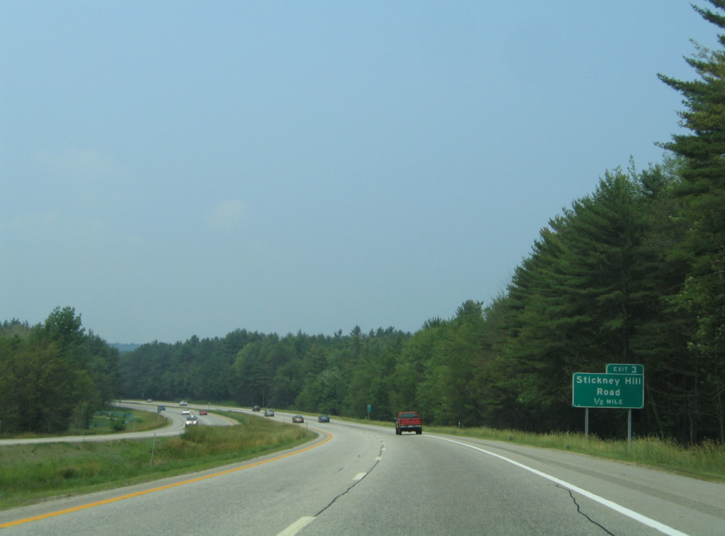
A wye interchange (Exit 3) joins northbound I-89 with Stickney Mill Road in one half mile.
06/27/05
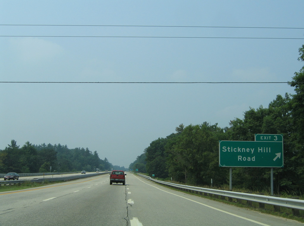
Stickney Mill Road stems southwest from Exit 3 to Farrington Corner Road in rural southeast Hopkinton.
06/27/05
The Exit 2 ramp intersects Stickney Hill Road. The local road dead ends beside the eastbound lanes.
06/27/05
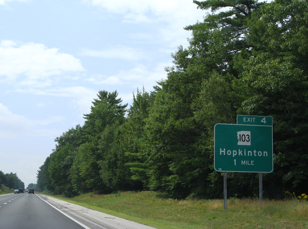
Interstate 89 arcs west into Hopkinton with a forested median. Crossing Boutwell Mill Brook, the freeway next sees a wye interchange (Exit 4) to adjacent U.S. 202/NH 9 (Main Street).
07/30/07
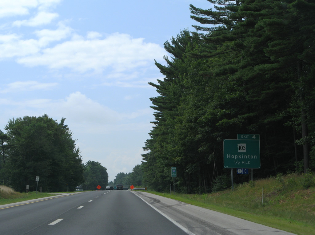
NH 103 commences a 48.4 mile route to Claremont from U.S. 202/NH 9 (Main Street) in Hopkinton.
07/30/07
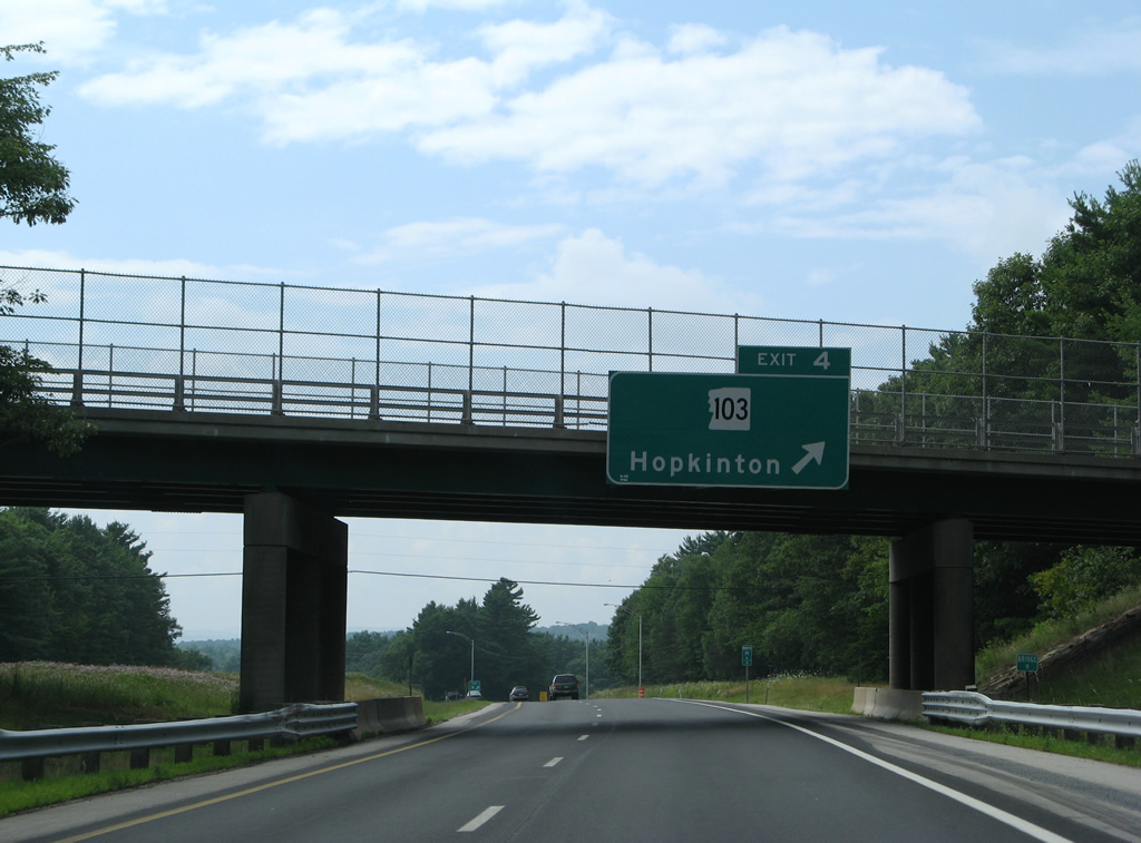
Jewett Road spans Interstate 89 as Exit 4 parts ways for U.S. 202/NH 9 (Main Street) to west NH 103 (Hopkinton Road).
07/30/07

U.S. 202/NH 9 curve southwest from NH 103 (Hopkinton Road) along Old Henniker Road to cross paths with Interstate 89 at Exit 5 in one mile.
07/30/07
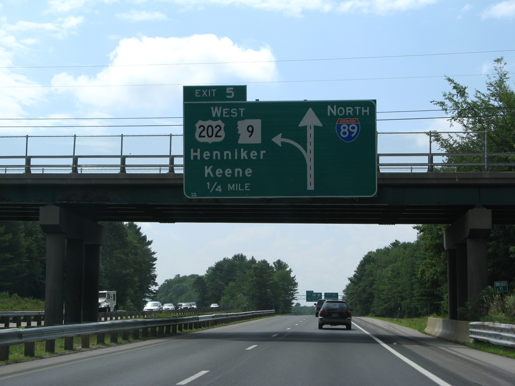
A left side ramp (Exit 5) departs one quarter mile west of the South Road overpass for U.S. 202/NH 9 west to Henniker and Hillsborough.
07/30/07
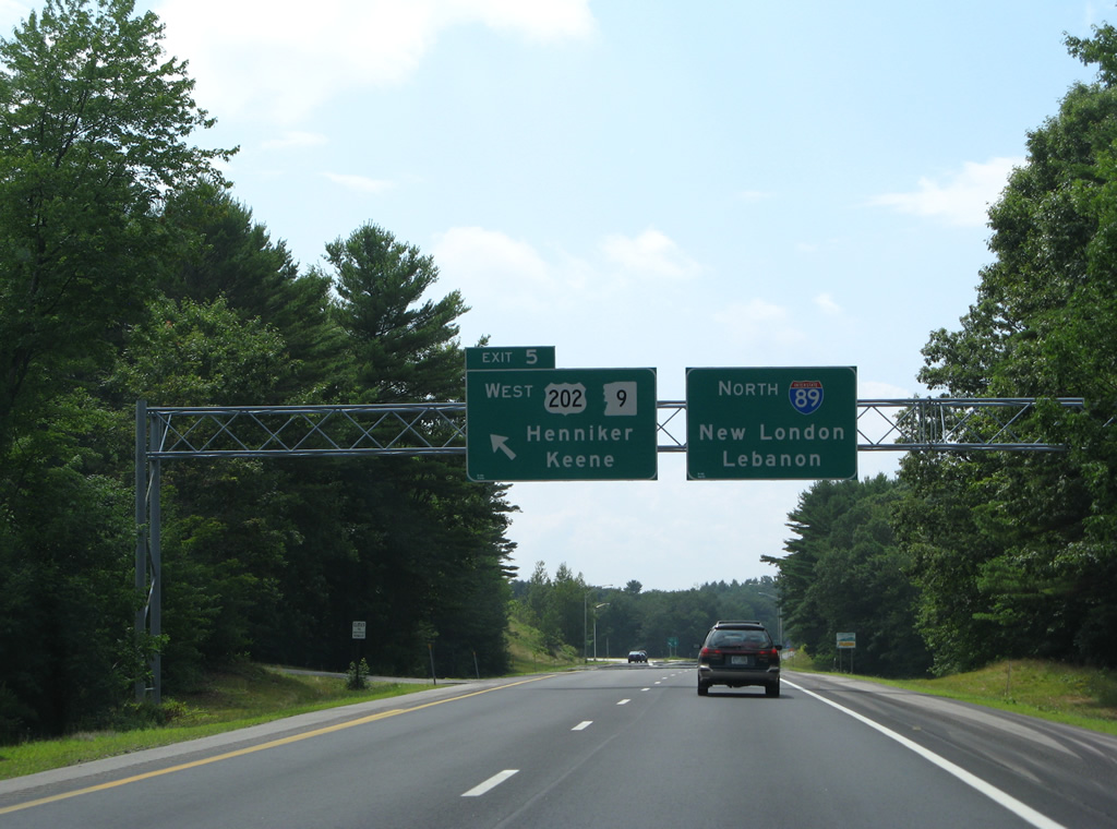
NH 9 follows a two lane expressway west 16 miles to NH 31 (Second New Hampshire Turnpike) in Hillsborough. U.S. 202 splits from the expressway in Hillsboro southward to Antrim and Peterborough while NH 9 maintains a southwesterly heading to Keene and Brattleboro, Vermont.
07/30/07
The third wye interchange in a row joins U.S. 202/NH 9 west from Interstate 89 north. Two ramps tie into the freeway from Old Henniker Road to the west.
07/30/07
A brief glimpse of the hills in Henniker and Hillsborough appears to the west as Interstate 89 turns north by Hopkinton-Everett Reservoir.
07/30/07
Interstate 89 encircles Putney Hill north from Exit 5.
07/30/07
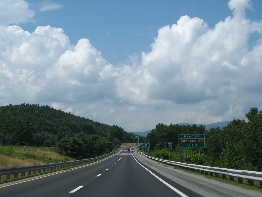
Warner lies nine miles ahead, with Sunapee State Park referenced at 26 miles out. A replacement to this sign made by 2013 removed the distance to Warner.
07/30/07
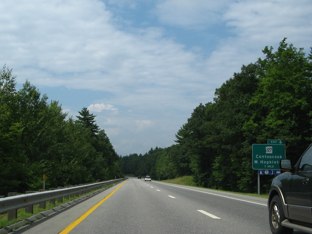
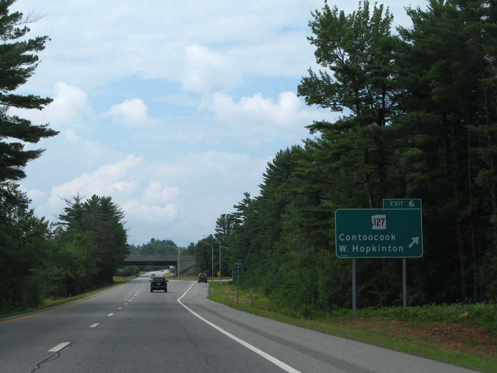
NH 127 meanders northeast from U.S. 202/NH 9 to West Hopkinton, Elm Brook Park and a diamond interchange (Exit 6) with Interstate 89.
07/30/07

North from Exit 6, NH 127 (Maple Street) heads to Contoocook and a two mile overlap with NH 103.
07/30/07
NH 127 runs 31.6 miles from Hopkinton north to Salisbury, Franklin and NH 132 in Sanbornton.
07/30/07
Interstate 89 advances through north Hopkinton to Warner over the next two and a half miles.
07/30/07
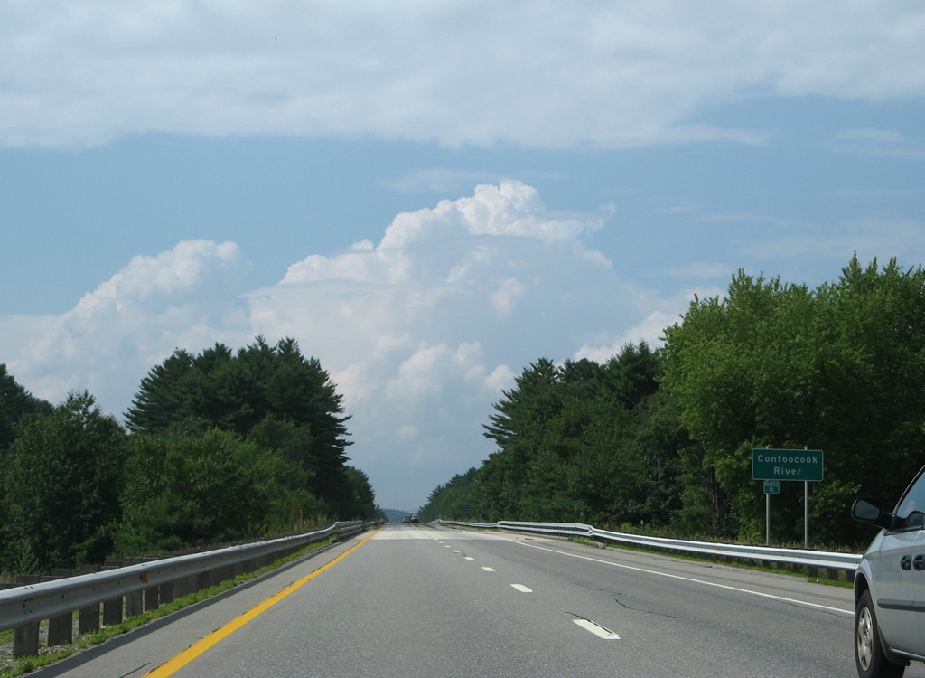
Spanning the Contoocook River on I-89 north. The Contoocook is a 71 mile waterway flowing north from Contoocook Lake in Rindge to the Merrimack River at Penacook.
07/30/07
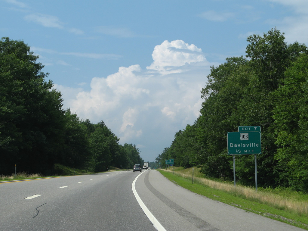
NH 103 branches west from NH 132 to meet Interstate 89 directly at a modified diamond interchange (Exit 7) in a half mile.
07/30/07
NH 103 crosses I-89 from Davisville to the east of Exit 7. The state route turns north at adjacent Diamond to parallel both I-89 and the Warner River to Bagley.
07/30/07
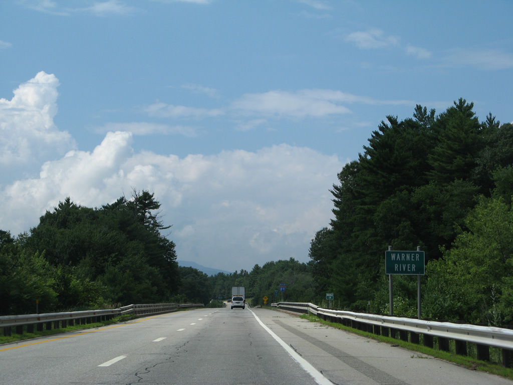
The Warner River flows 20.3 miles southeast from Todd Lake in Bradford to the Contoocook River in north Hopkinton. Interstate 89 mirrors the course of the river northwest to Exit 9.
07/30/07
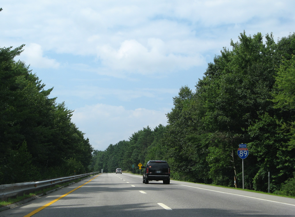
Forested medians remain omnipresent along Interstate 89 leading northwest through New Hampshire.
07/30/07
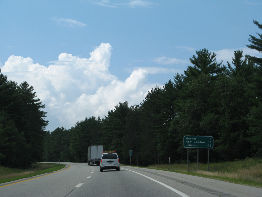
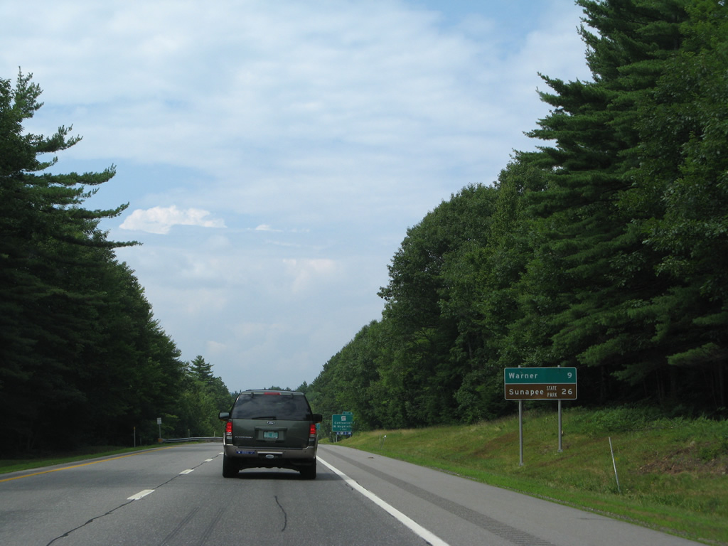
The Warner town center is reached within three miles via NH 103. New London is the next population center referenced for northbound travelers in 19 miles, while Lebanon is 42 miles away.
07/30/07
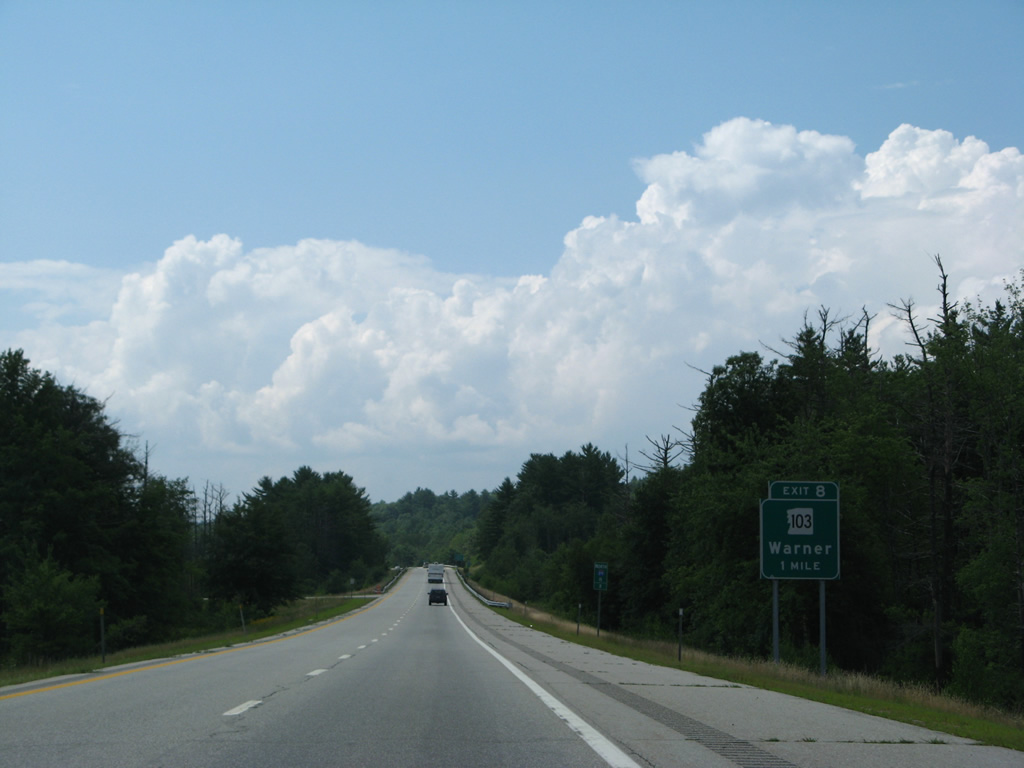
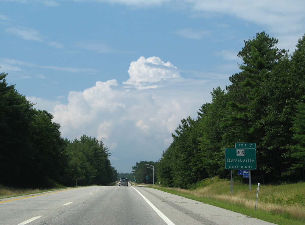
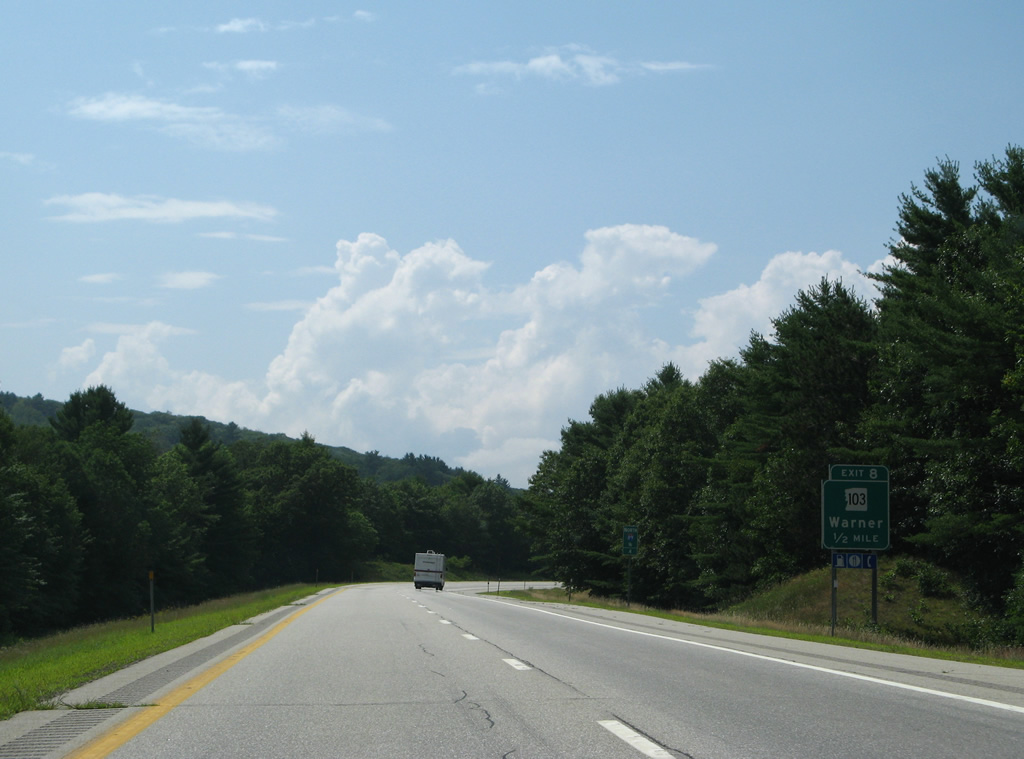
A half diamond interchange (Exit 8) provides northbound access to NH 103 East Main Street) in one mile.
07/30/07

Interstate 89 enters the Dartmouth Lake Sunapee Region.
07/30/07
NH 103 shifts sides with I-89 from Exit 8 north into the Warner town center.
07/30/07
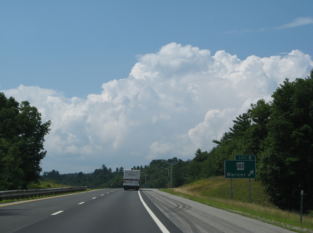
Exit 8 leaves Interstate 89 north for NH 103 north to Warner and south to Bagley. NH 103 to Kearsarge Mountain Road leads to Rollins State Park.
07/30/07
Interstate 89 crosses the Warner River again to hug the northern slopes of Waldron Hill across from the Warner town center.
07/30/07

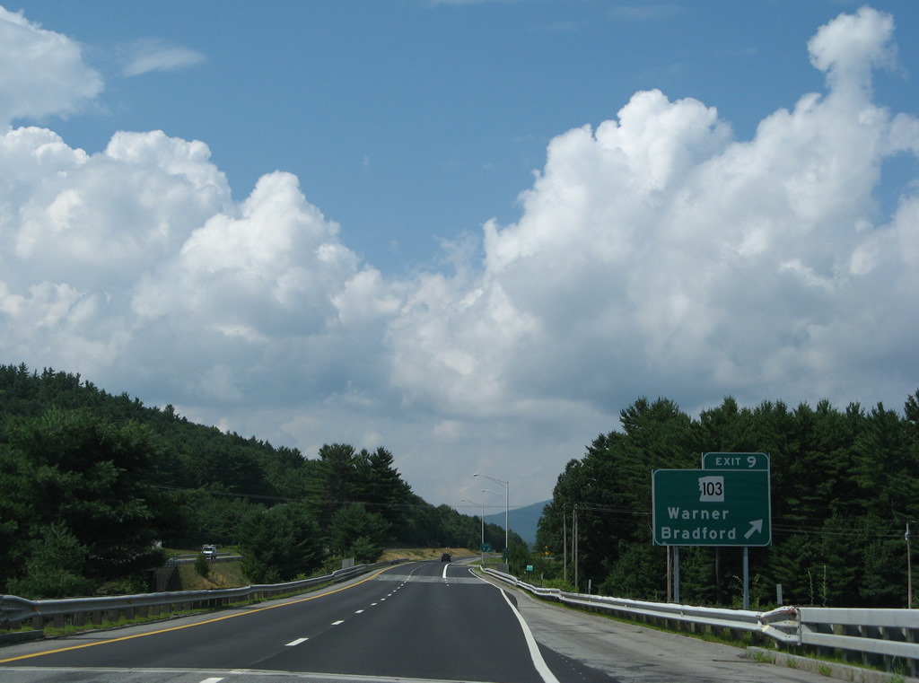
West Main Street leads NH 103 away from Warner to a parclo interchange (Exit 9) with Interstate 89.
07/30/07

NH 103 continues west from Exit 9 to Waterloo, Roby and Melvin Mills in the hill country of west Warner. The state route emerges at the Bradford town center in seven miles.
07/30/07
NH 103 west from Bradford connects with Mount Sunapee State Park at Newbury and Newport.
07/30/07
I-89 spans the Warner River for the third and final time ahead of the loop ramp (Exit 9) for NH 103 (W Main Street).
07/30/07
Mount Kearsarge (elevation 2,927 feet) appears to the north as Interstate 89 leaves Warner for the town of Sutton.
07/30/07
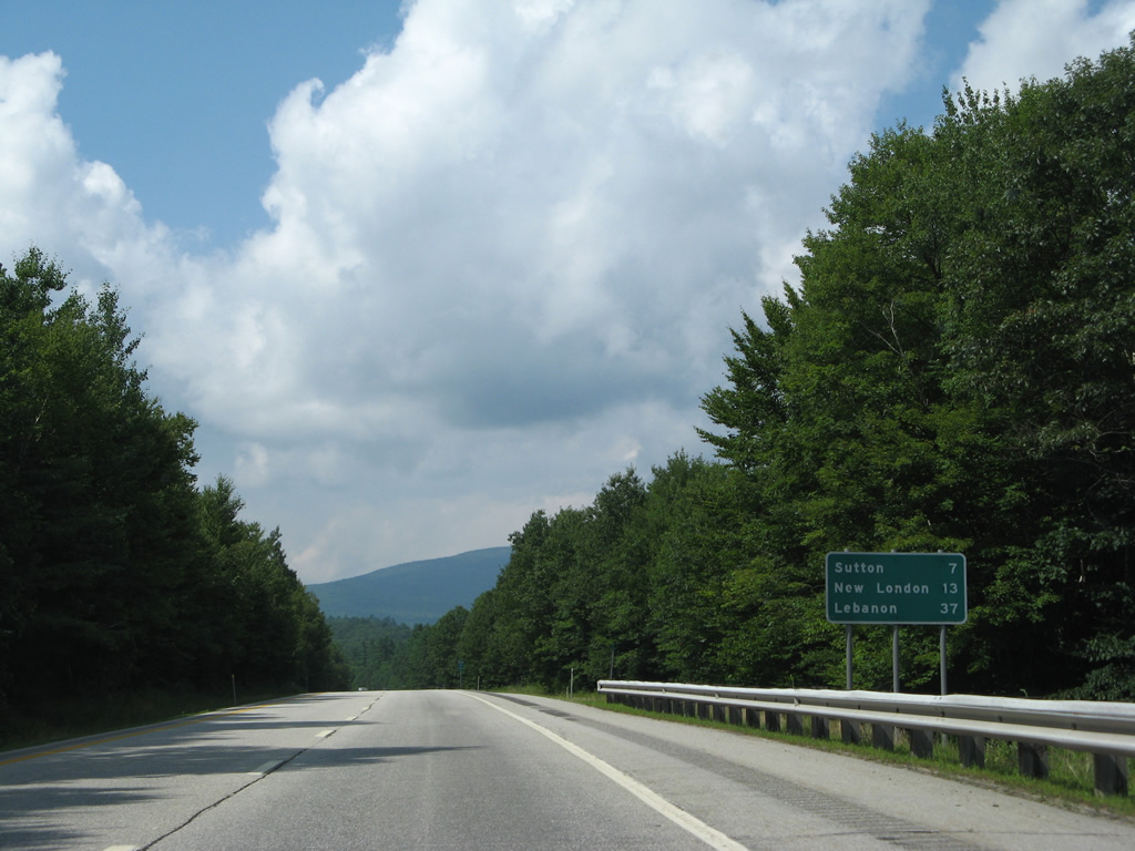
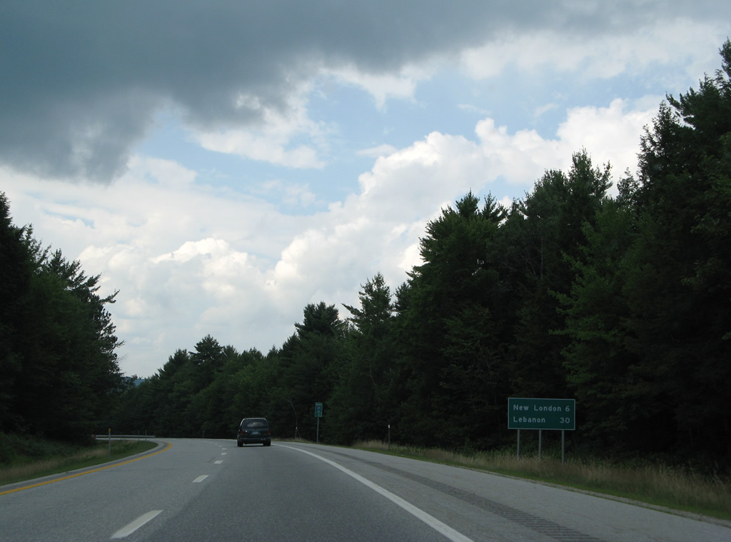
The Sutton town center, seven miles away, lies west of Meetinghouse Hill in a valley along NH 114. Lebanon is a half hour drive.
07/30/07
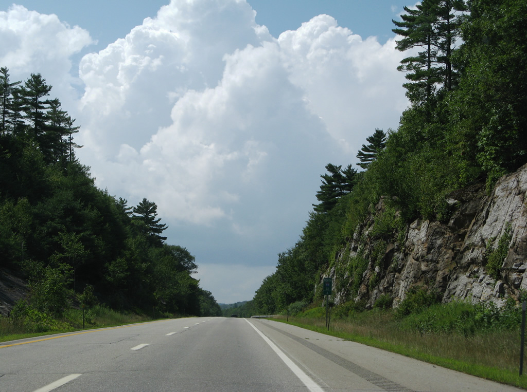
Rock outcrops appear sporadically along the winding stretch of Interstate 89 northwest to Exit 10. Stevens Brook parallels the freeway as well.
07/30/07
A straight away along Interstate 89 north from milepost 25 between Dresser Hills and Stevens Brook. A southbound rest area lines this section.
07/30/07
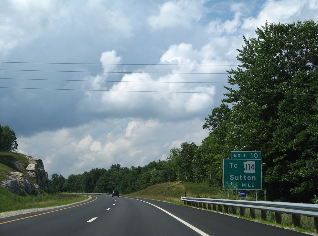
Upcoming Exit 10 joins Interstate 89 with Gile Pond Road south to NH 114. NH 114 runs north to North Sutton, Kezar Lake and Wadleigh State Park and south to the Sutton town center.
07/30/07
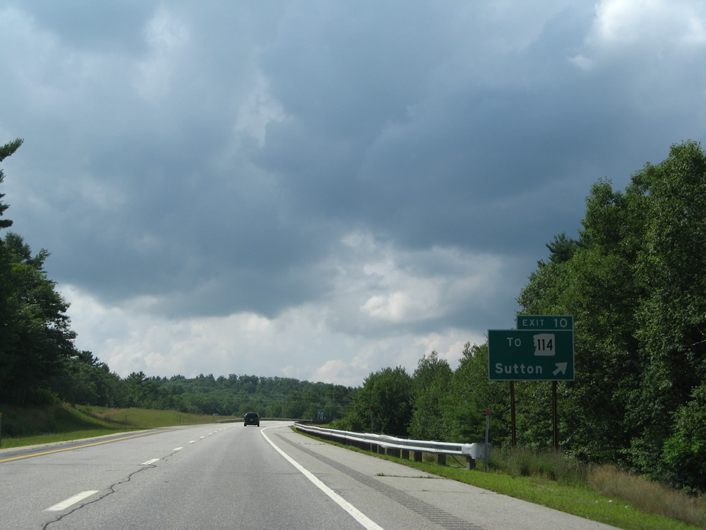
Entering the diamond interchange (Exit 10) with Gile Pond Road on I-89 north. Gile Pond Road connects with North Road to Kearsarge Valley Road north to Winslow State Park.
07/30/07
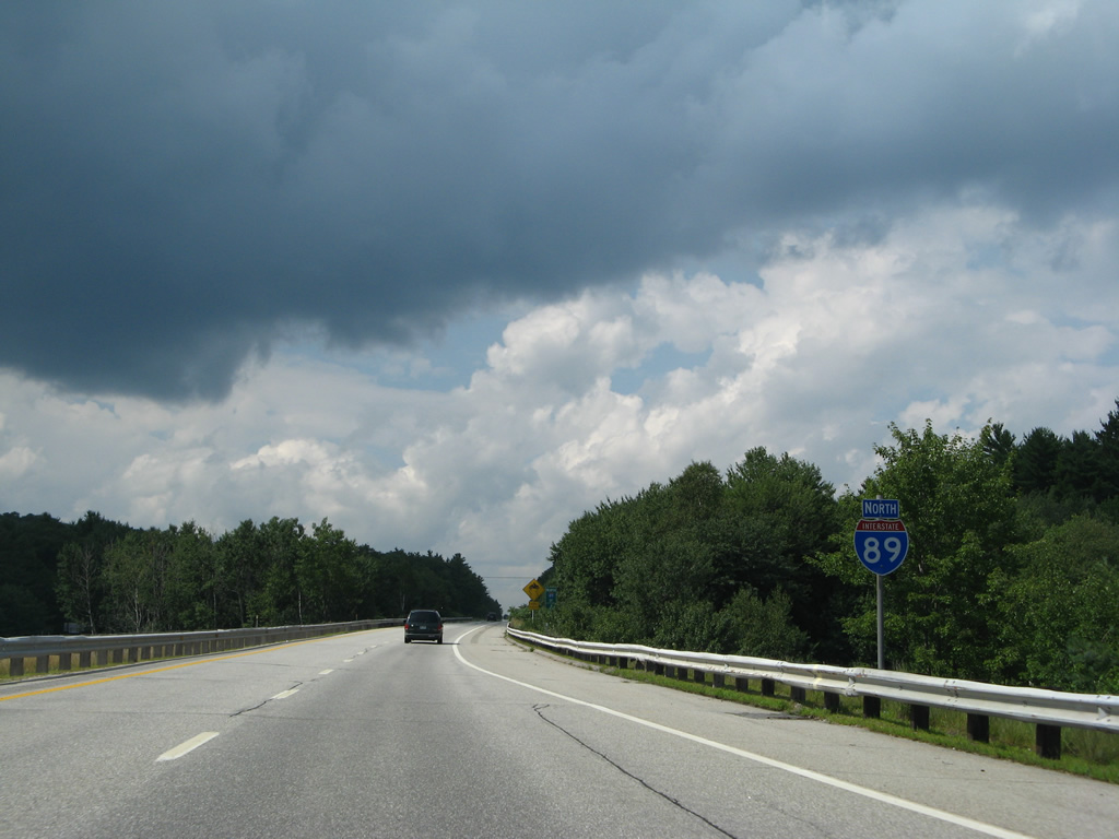
Interstate 89 continues north by North Sutton and Rowell Hill to the New London town line.
07/30/07
Lebanon is 30 miles to the northwest.
07/30/07
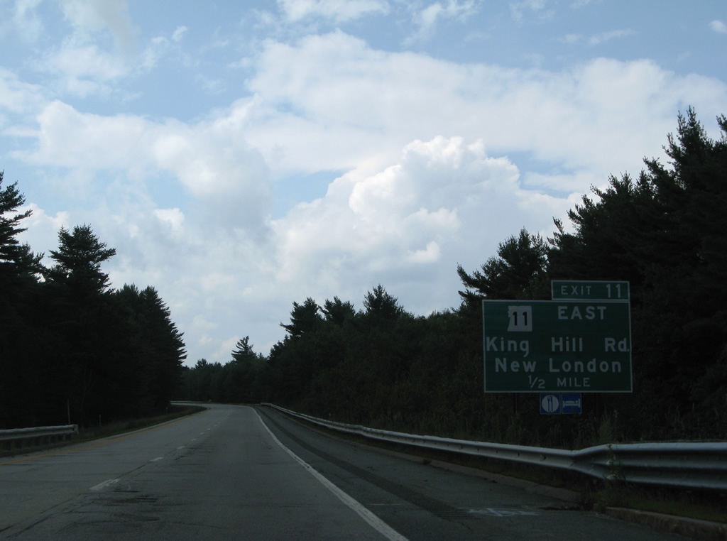
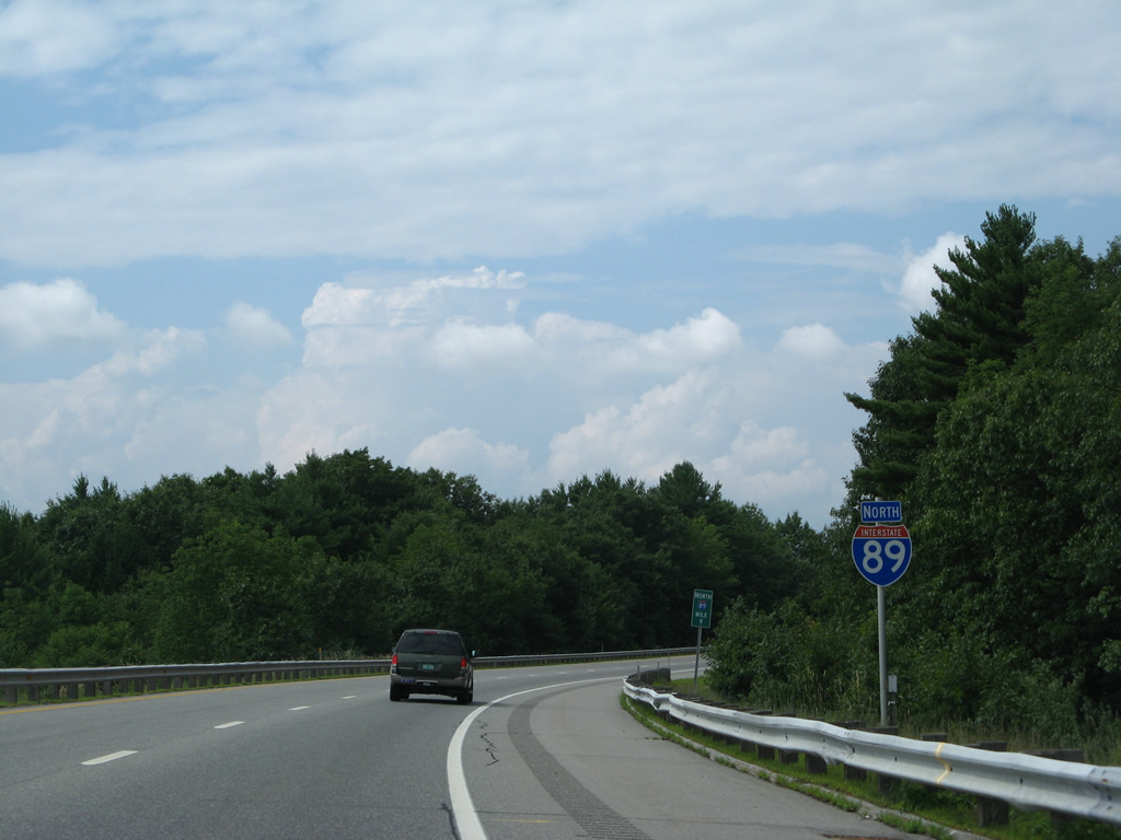
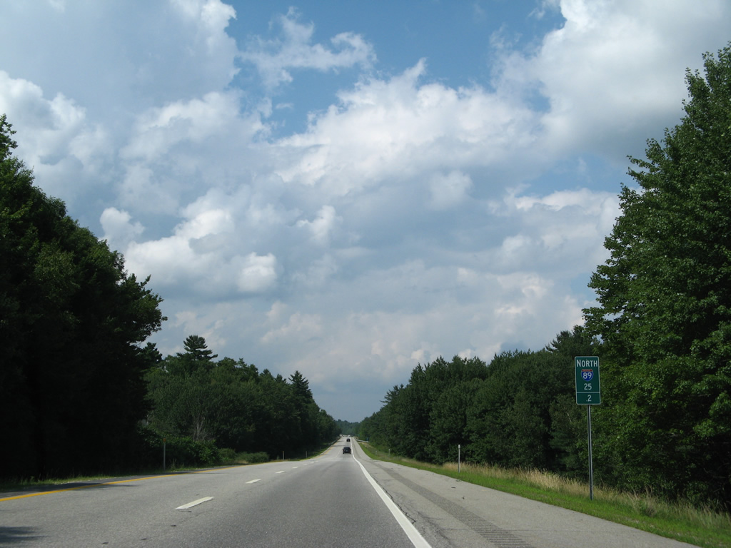
NH 11, a multi state highway with VT 11 and Maine Route 11, crosses the state along a 108.2 mile course from Charlestown to Rochester. A diamond interchange (Exit 11) brings the route westbound onto I-89 north in one half mile.
07/30/07
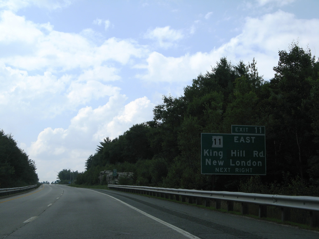
King Hill Road extends west from NH 11 and Exit 11 to NH 103A by Sunapee Lake. NH 11 east intersects NH 104 (Main Street) north to the New London town center nearby. The state route advances east from there to Wilmot and Andover.
07/30/07
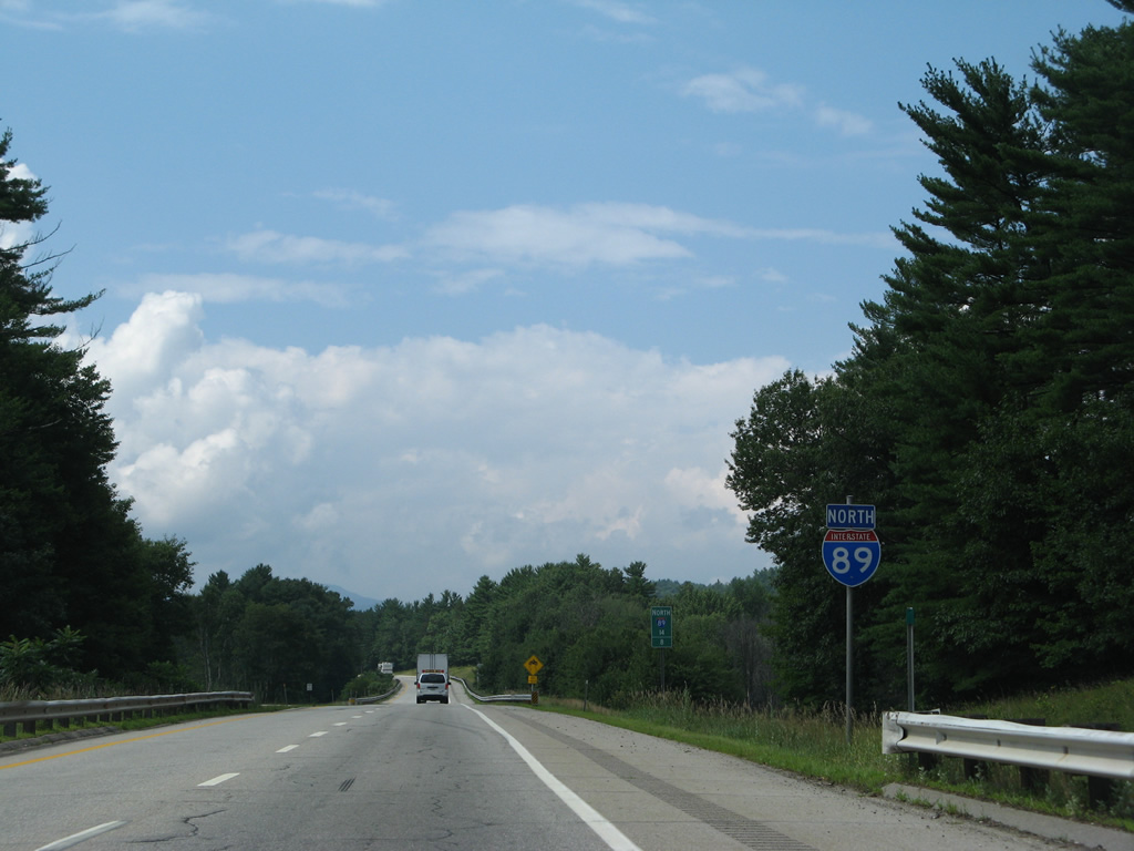
North / NH 11 West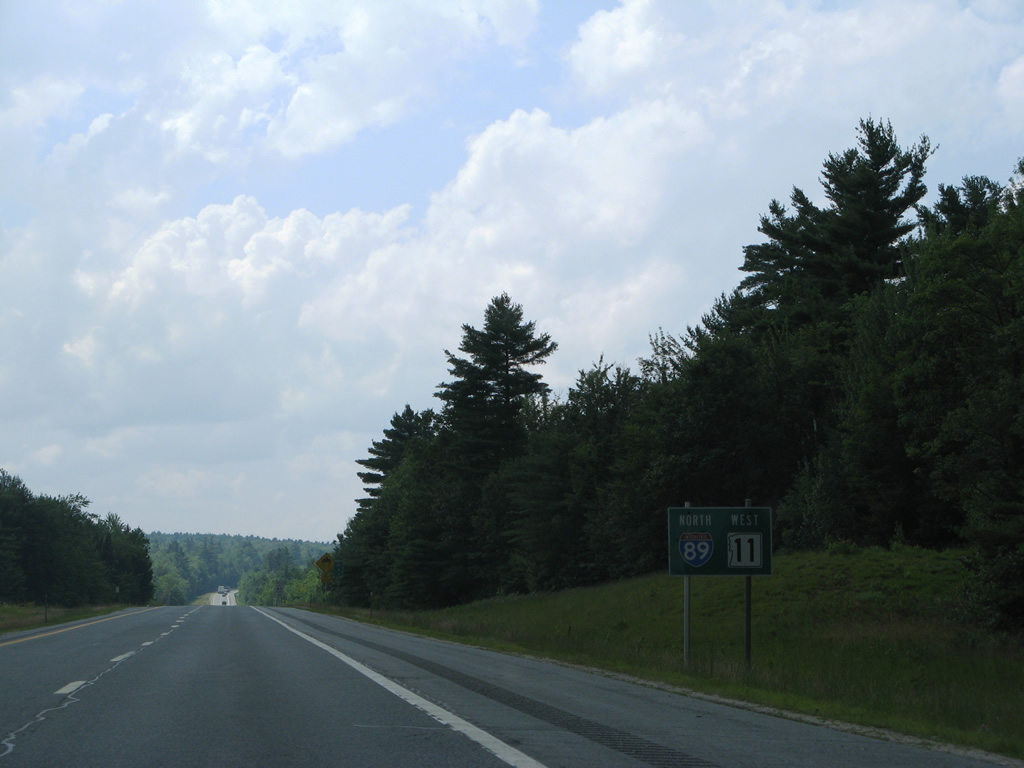
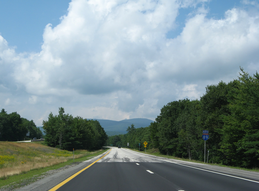
NH 11 combines with I-89 for 5.7 miles north through New London.
07/30/07
Croydon Mountain rises in the distance as I-89/NH 11 cross over County Road near Hastings and Messer Pond.
07/30/07
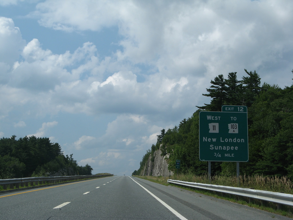
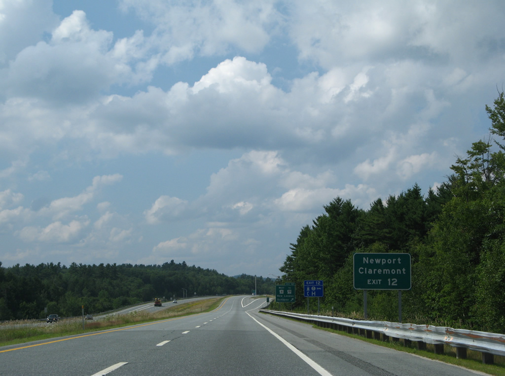
NH 11 splits with I-89 north at Exit 12 for Gorges Mills on the north side of Sunapee Lake. NH 103A ties into the state route nearby, concluding a 7.7 mile course north from Newbury.
07/30/07
West beyond Sunapee Lake, NH 11 combines with NH 103 to Newport and Claremont before turning southward along the Connecticut River to Charlestown and the Cheshire Bridge into Springfield, Vermont.
07/30/07
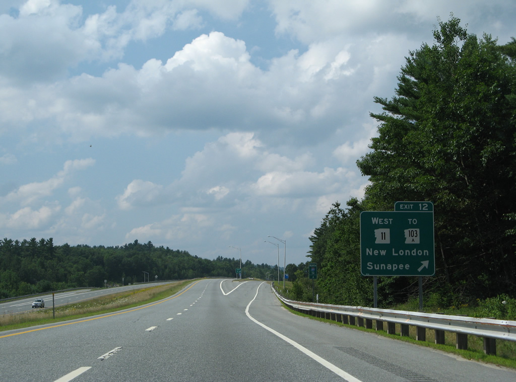
Interstate 89 north / NH 11 west at the diamond interchange (Exit 12) with Newport Road. Newport Road leads east to Colby-Sawyer College and the New London town center. Sunapee is a five mile drive to the west.
07/30/07
North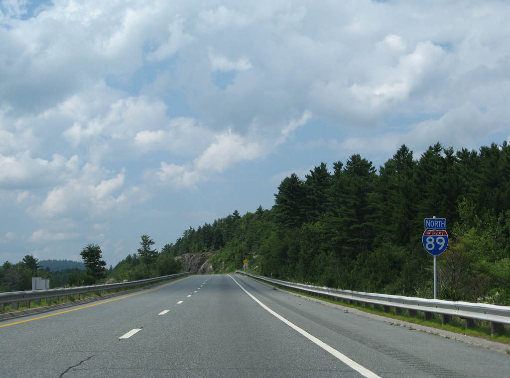
Interstate 89 curves west by Goose Pond and Otterville over the next mile.
07/30/07
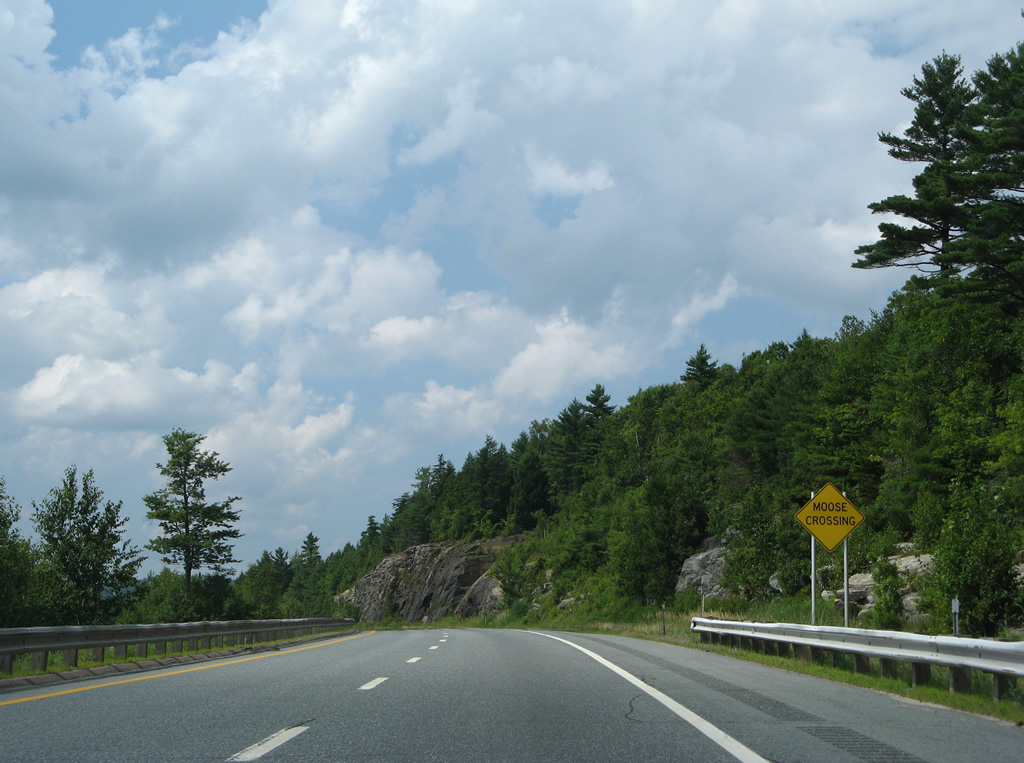
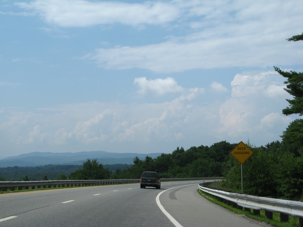
Drivers are cautioned for potential moose in the New Hampshire high country.
07/30/07
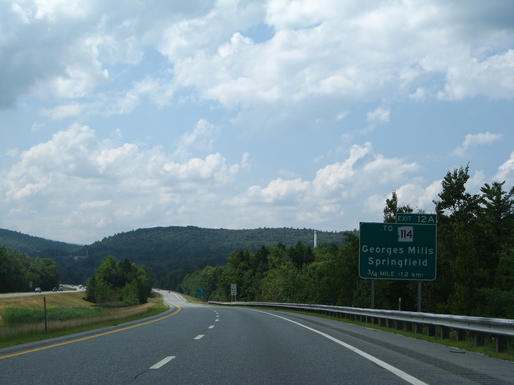
Springfield Road stems north from NH 11 (Sunapee Lake Road) at Georges Mills to a diamond interchange (Exit 12A) with Interstate 89 north in 0.75 miles.
07/30/07

NH 114 meanders around Little Sunapee Lake from New London into the rural town of Springfield to the east.
07/30/07
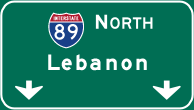

Photo Credits:
- Alex Nitzman, Carter Buchanan: 06/27/05
- AARoads: 07/30/07
Page Updated Thursday February 12, 2015.