
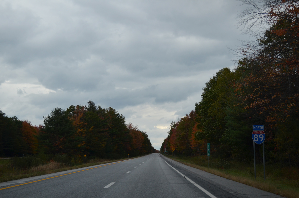
Interstate 89 North - Milton to Highgate
 North
North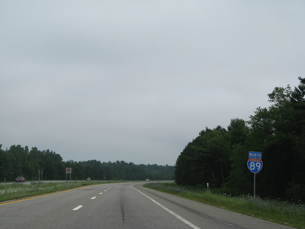
Reassurance marker posted just ahead of the Milton town line along Interstate 89 north.
08/01/07
Georgia Center, ten miles away, is the next exit of Interstate 89 north. St. Albans is seven miles further at the subsequent interchange.
10/08/14
Interstate 89 lowers to cross the Lamoille River to the west of the Milton town center.
07/24/05
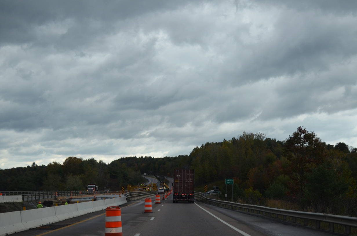
Flowing 85 miles, the Lamoille River originates in Lamoille County within the Green Mountains and drains into Lake Champlain at Great Back Bay near the Sand Bar Bridge.
10/08/14
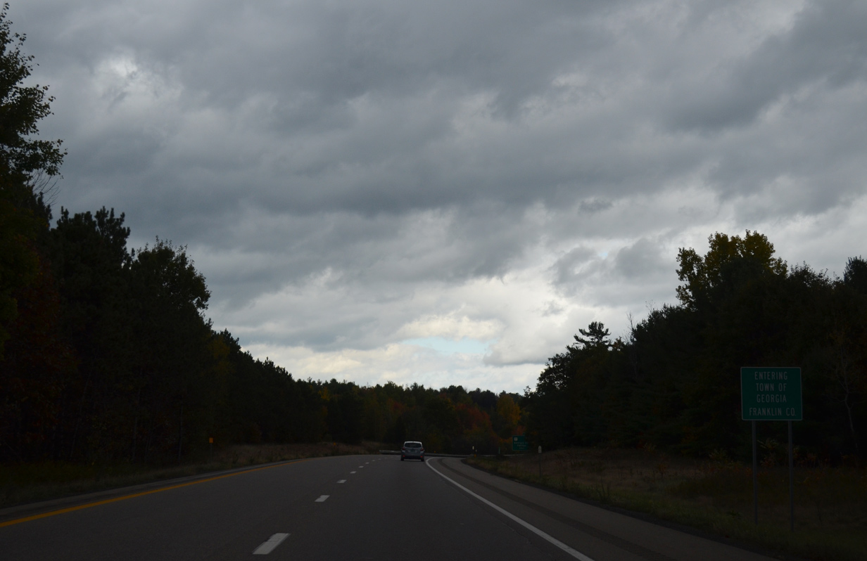
Intersrate 89 northbound crosses the Franklin County and Georgia town line just beyond milepost 105.
10/08/14

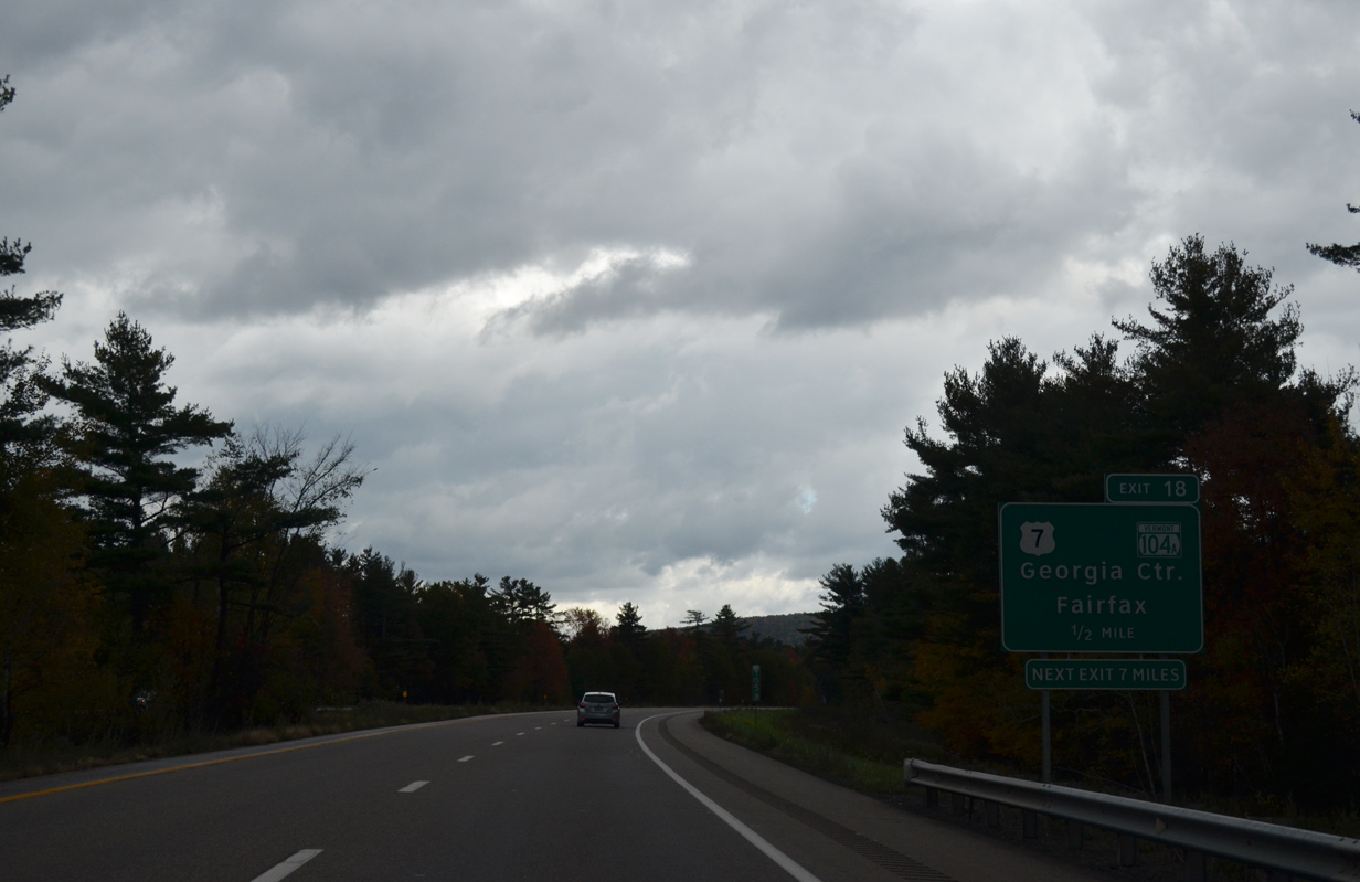
Heading north from Milton, U.S. 7 (Ethan Allen Highway) straddles Arrowhead Mountain Lake to a parclo A2 interchange (Exit 18 / Milepoint Exit 106) with Interstate 89 in south Georgia.
10/08/14
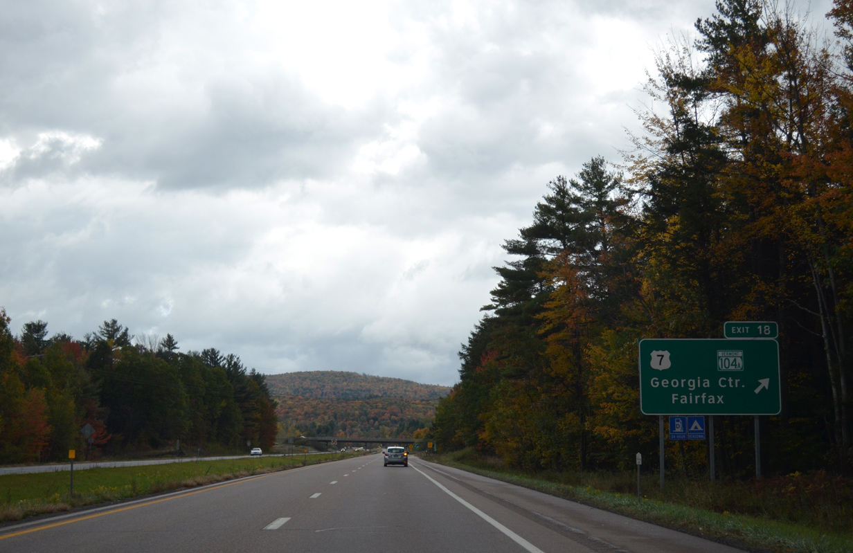
VT 104A (Highbridge Road) comprises a 4.5 mile long route west from VT 104 (Main Street) in the town of Fairfax to East Georgia at U.S. 7 just south of Exit 18.
10/08/14
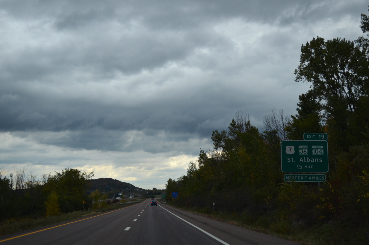
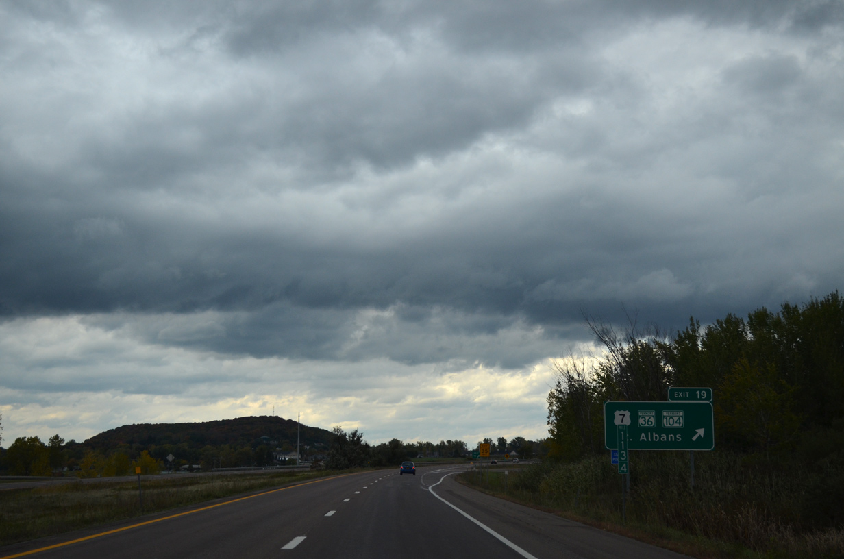
Exit 18 parts ways with Interstate 89 north for U.S. 7 north to Georgia Center and VT 104A east to Fairfax.
U.S. 7 stays west of I-89 to St. Albans and Swanton to next meet the freeway at Highgate.
10/08/14
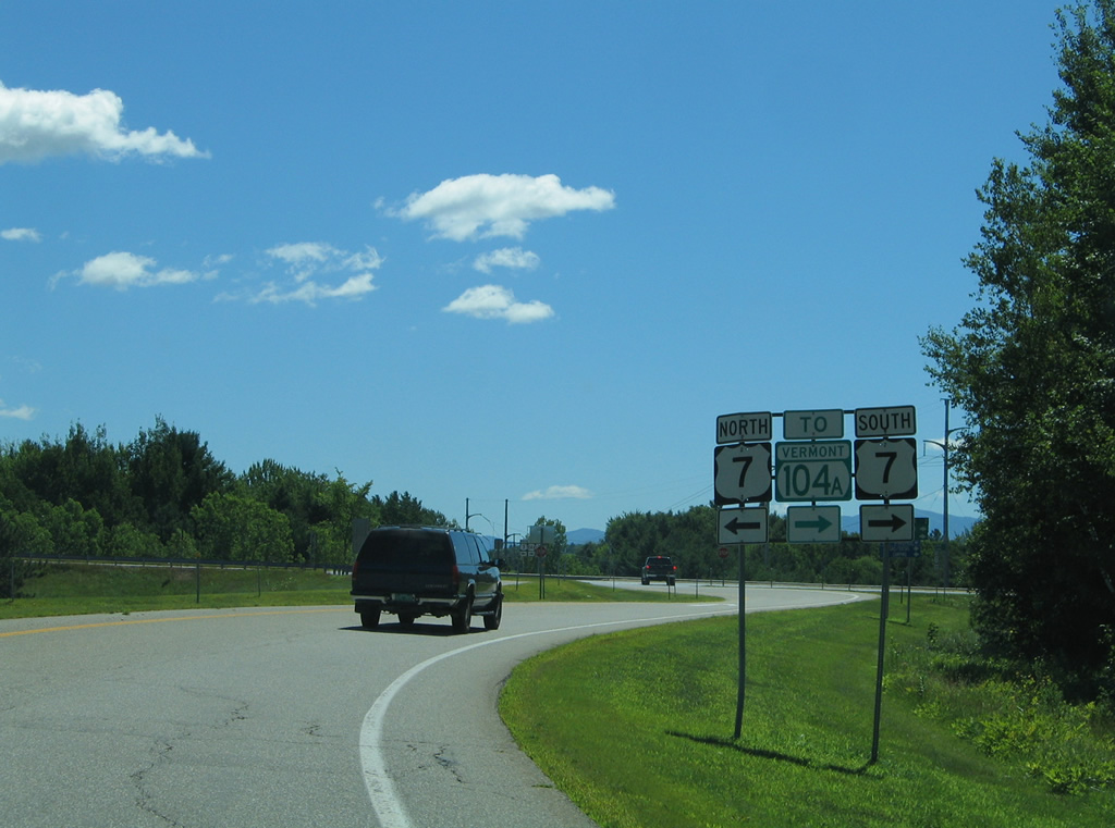
Shields posted at Exit 18 for U.S. 7. The Fairfax town center is a six mile drive to the east via VT 104A (Highbridge Road) and VT 104. Georgia Center is two miles to the north.
07/24/05
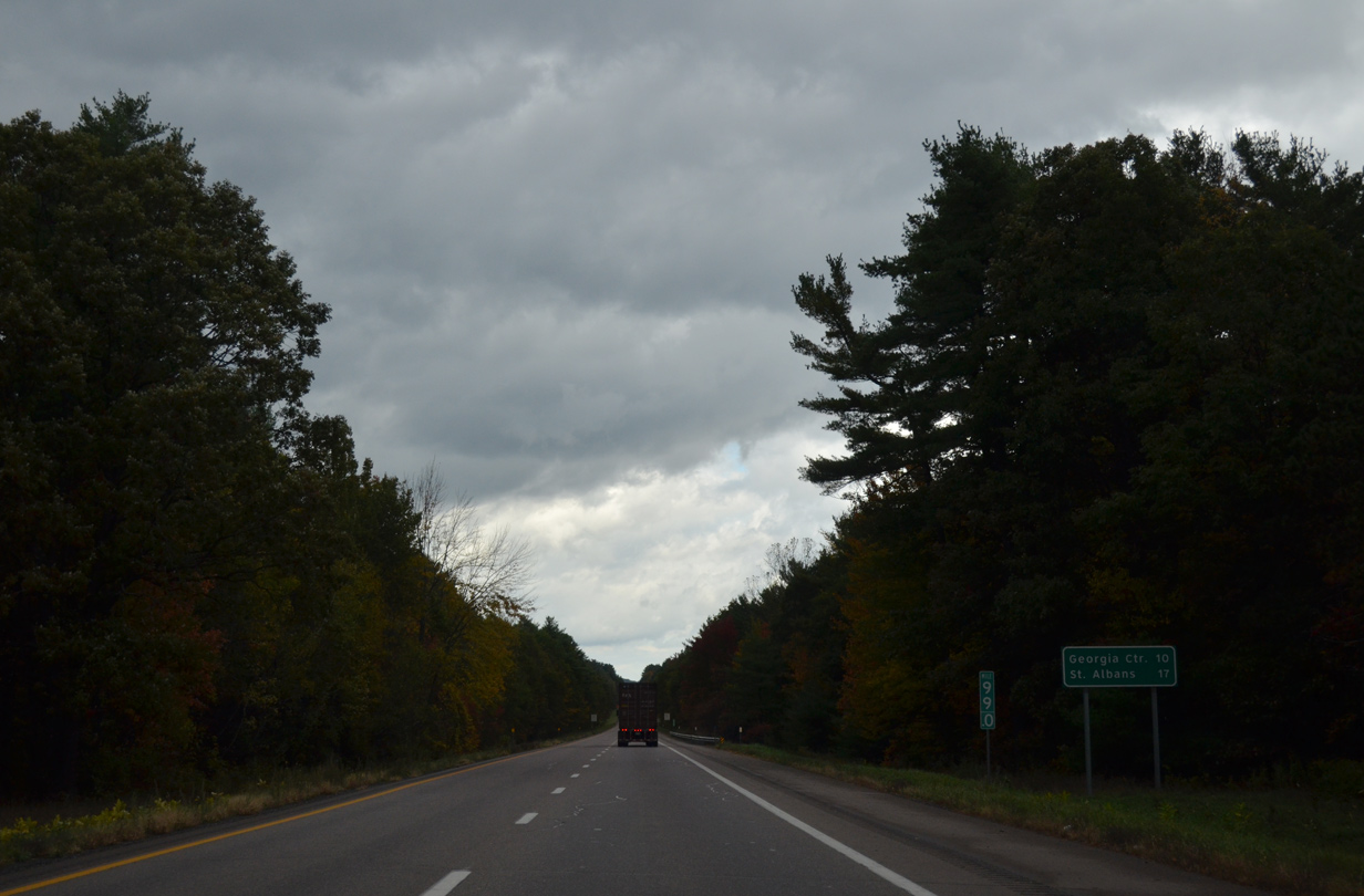
Cushman Hill rises to the east as Interstate 89 turns northward by Oakland.
10/08/14
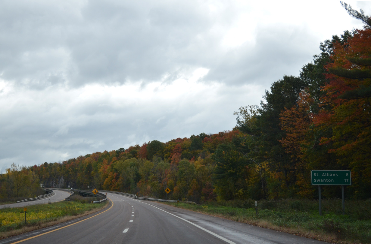
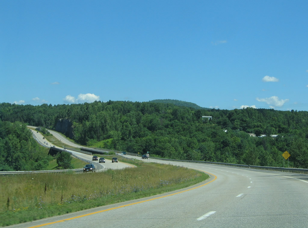
Swanton appears on this distance sign at 17 miles out. St. Albans is next in eight miles.
10/08/14
Interstate 89 hugs the west slopes of a series of hills.
10/08/14
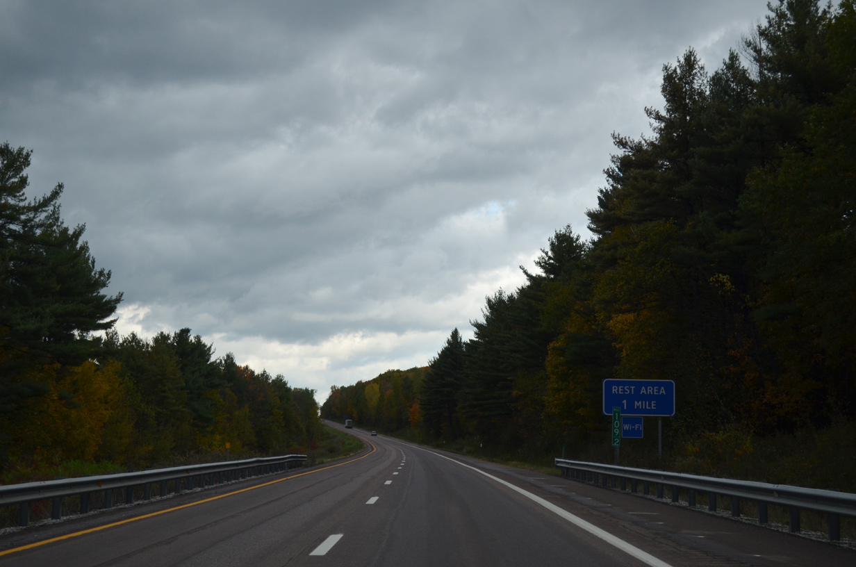
The final rest area of Interstate 89 north lies one mile ahead.
10/08/14
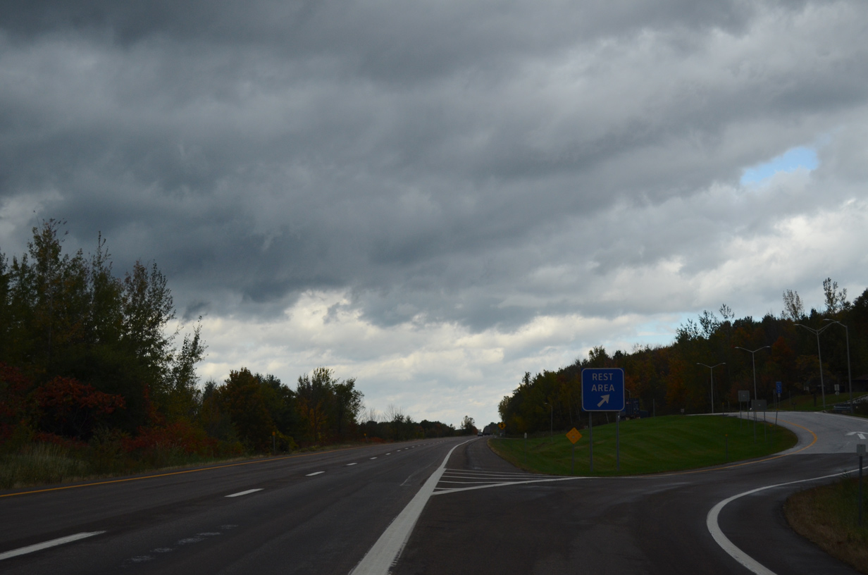
Northbound at the Georgia Rest Area. Interstate 89 crosses the Fairfax town line just beyond the facility.
10/08/14
VT 104 heads north to pass underneath I-89 between North Fairfax and St. Albans Hill. The state route ties into Interstate Access Road, an expressway spur linking forthcoming Exit 19 with U.S. 7 (Main Street) in St. Albans.
10/08/14
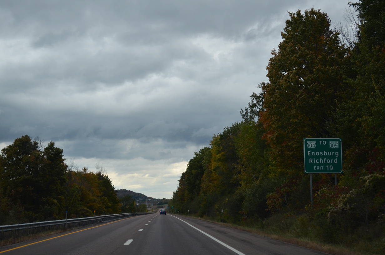
North from Interstate Access Road, VT 104 parallels I-89 another 2.5 miles to end at VT 105 (Sheldon Road). VT 105 heads east from St. Albans to Sheldon Springs, Enosburg Falls, Richford and Newport as part of a 98.2 mile route to North Stratford, New Hampshire.
10/08/14
A trumpet interchange (Exit 19 / Milepoint Exit 113) joins Interstate 89 with Interstate Access Road west as the freeway runs alongside Bellevue Hill (el. 1,316 ft).
10/08/14
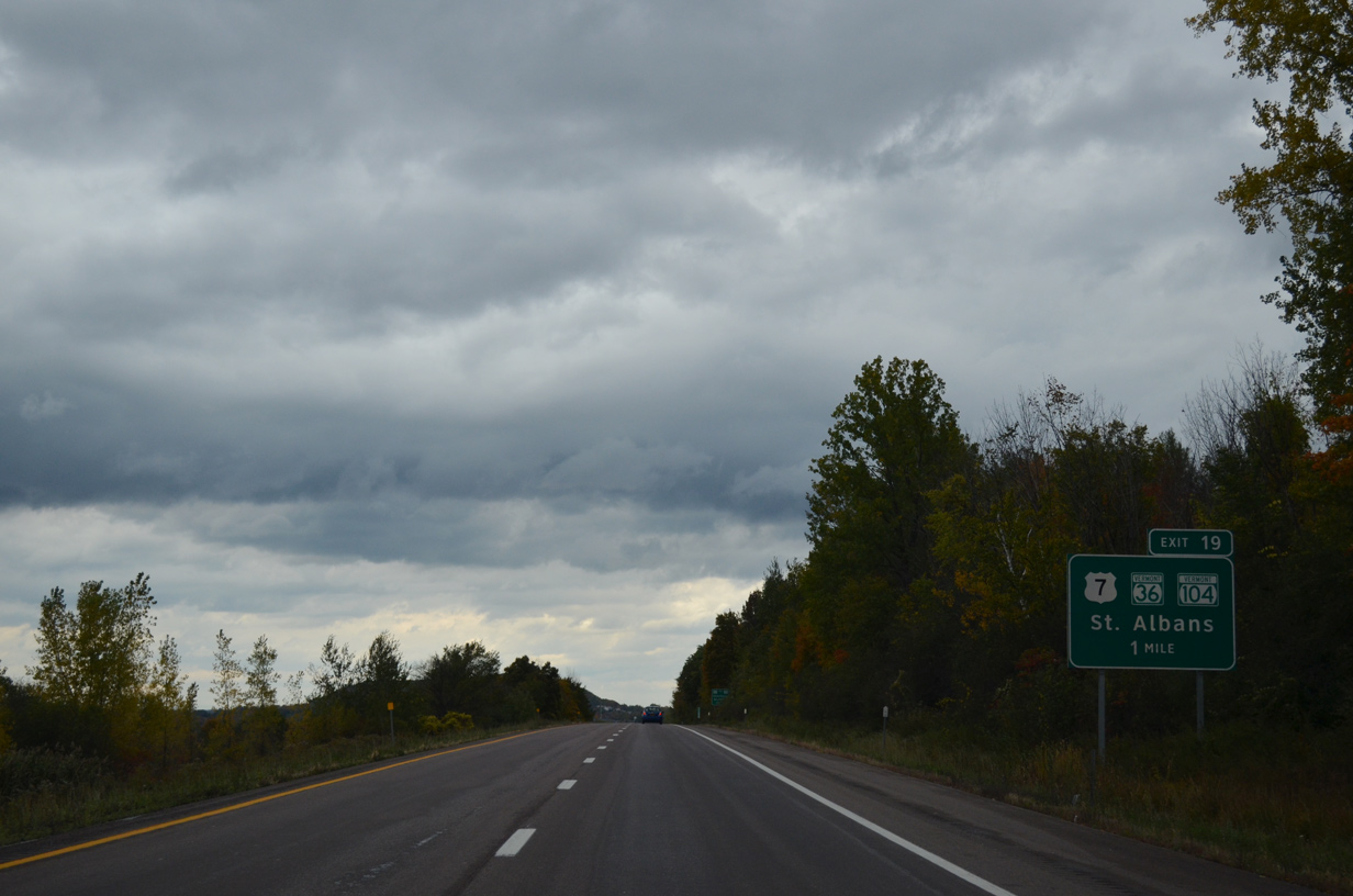
Interstate Access Road intersects VT 104 (Fairfax Road) nearby while en route to U.S. 7 (Main Street) south of Downtown St. Albans. VT 36 passes through the business district as part of a 29.43 mile route east to Fairfield and Bakersfield and north to Maquam and Swanton.
10/08/14
VT 36 (Fairfield Hill Road) crosses over Interstate 89 beyond this northbound reassurance marker.
10/08/14
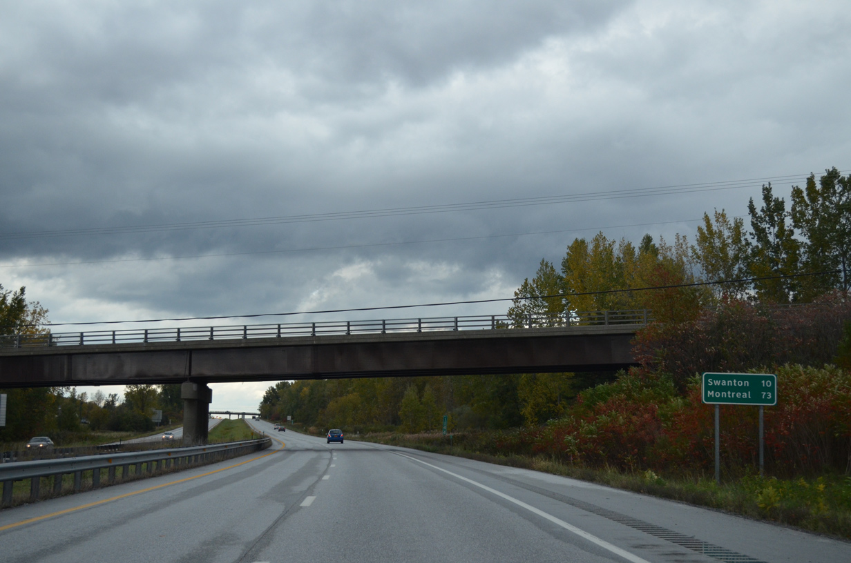
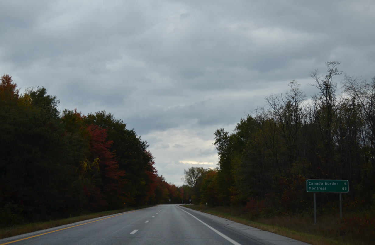
Montreal debuts to northbound travelers at 73 miles out. Swanton is ten miles away.
10/08/14
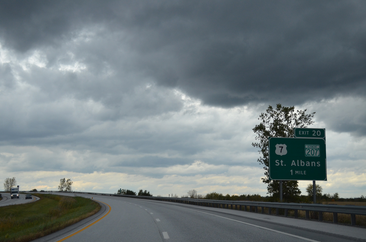
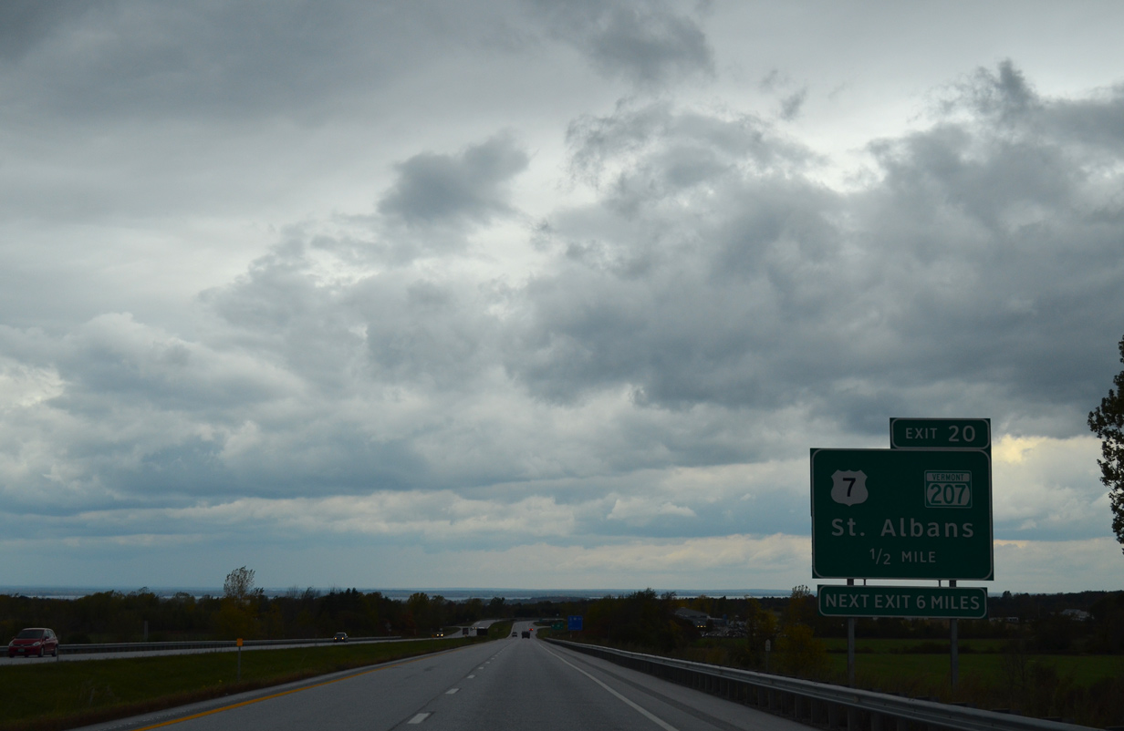
Interstate 89 bends back to the west to cross the Missisquoi Valley Rail Trail ahead of Exit 20 / Milepoint Exit 117 to VT 207 (Highgate Road).
10/08/14
VT 207 branches north from U.S. 7 (Swanton Road) to Skeels Corners in Swanton and Highgate Falls while U.S. 7 loops westward through Fonda and Swanton Junction
10/08/14
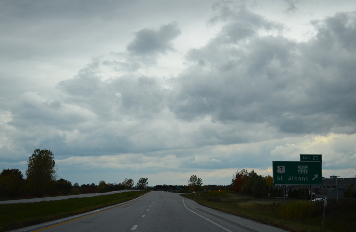
Entering the diamond interchange (Exit 20) with VT 207 (Highgate Road) on Interstate 89 north. Leading back south into St. Albans, U.S. 7 serves a retail area anchored by Highgate Commons shopping center.
10/08/14
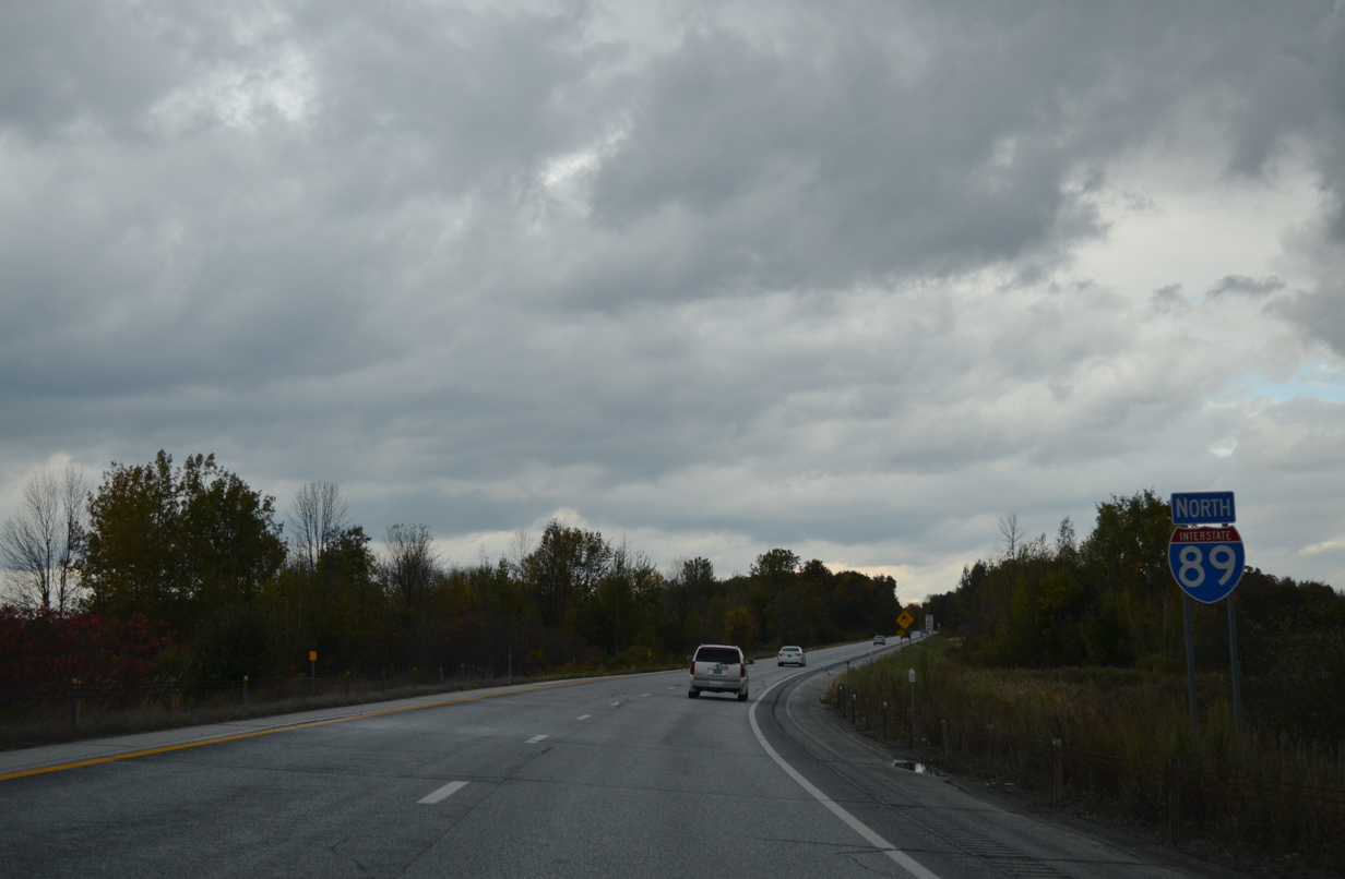
Interstate 89 curves back north into the town of Swanton.
10/08/14
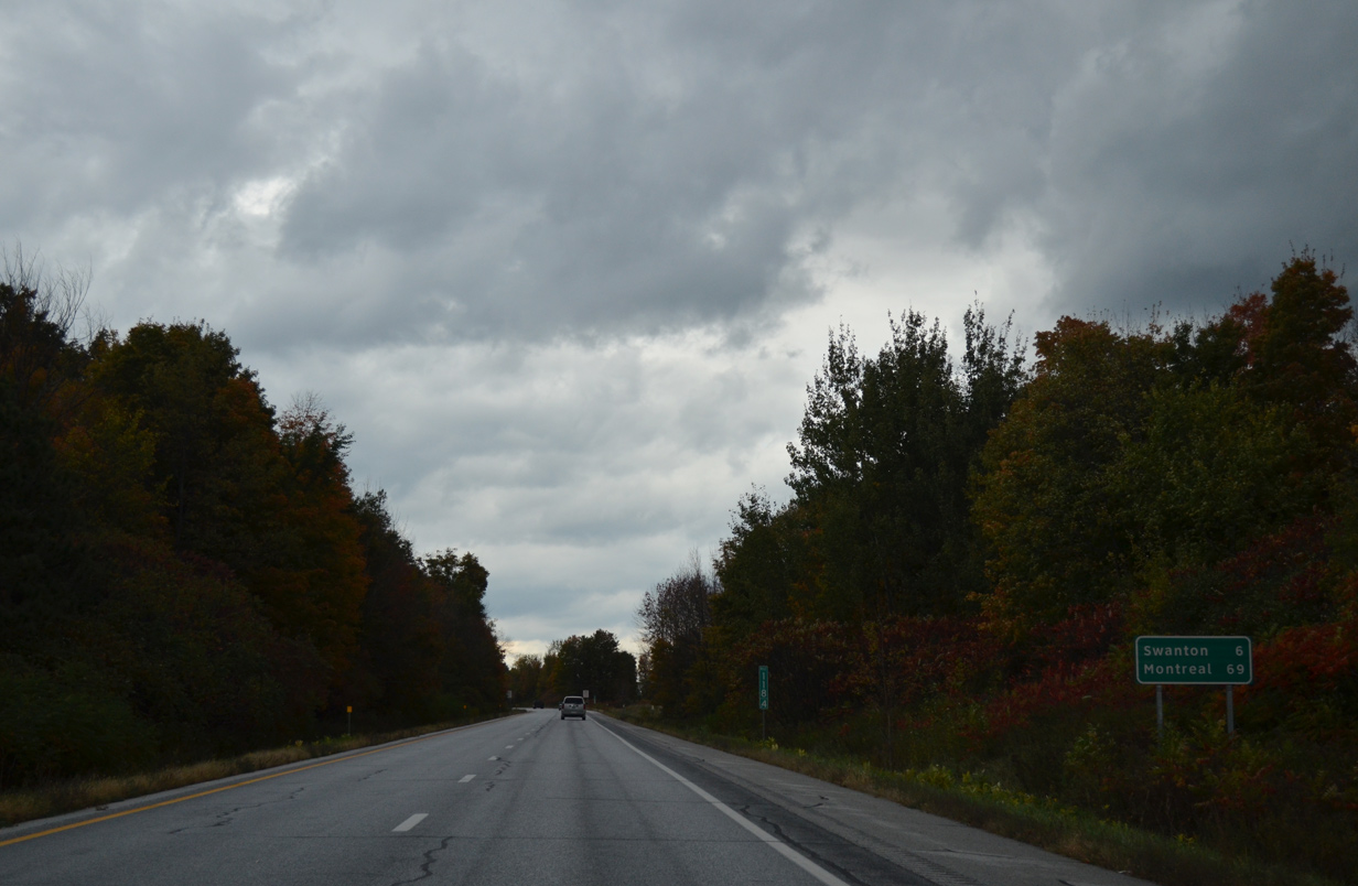
The Swanton village center lies six miles ahead via I-89 north and VT 78 west. Montreal, Quebec is a 69 mile drive via Quebec Route 133, Autoroute 35 north and A-10 west.
10/08/14
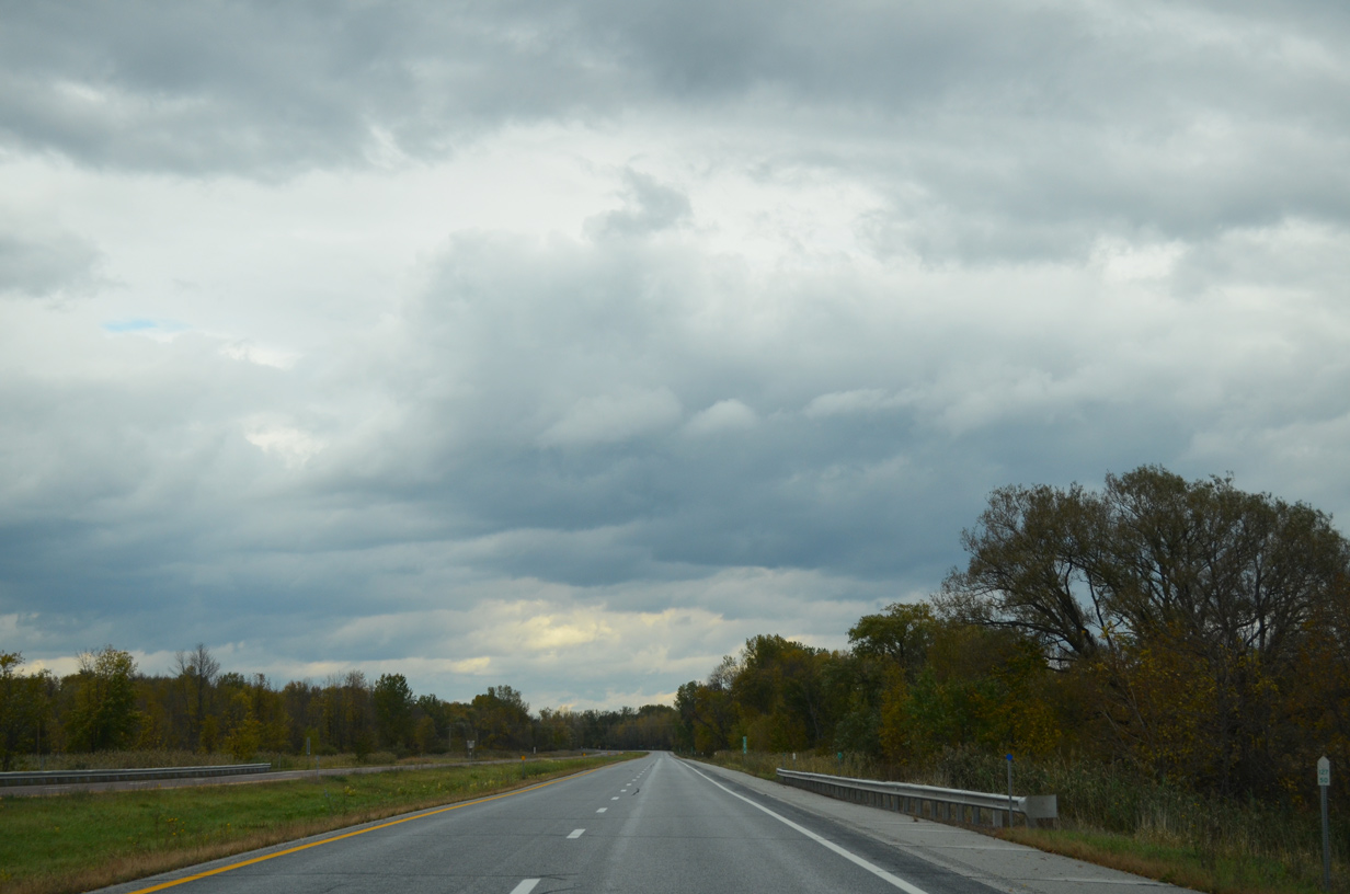
Rock outcrops appear along the east side of Interstate 89 as the freeway nears the Missisquoi River in this scene.
10/08/14
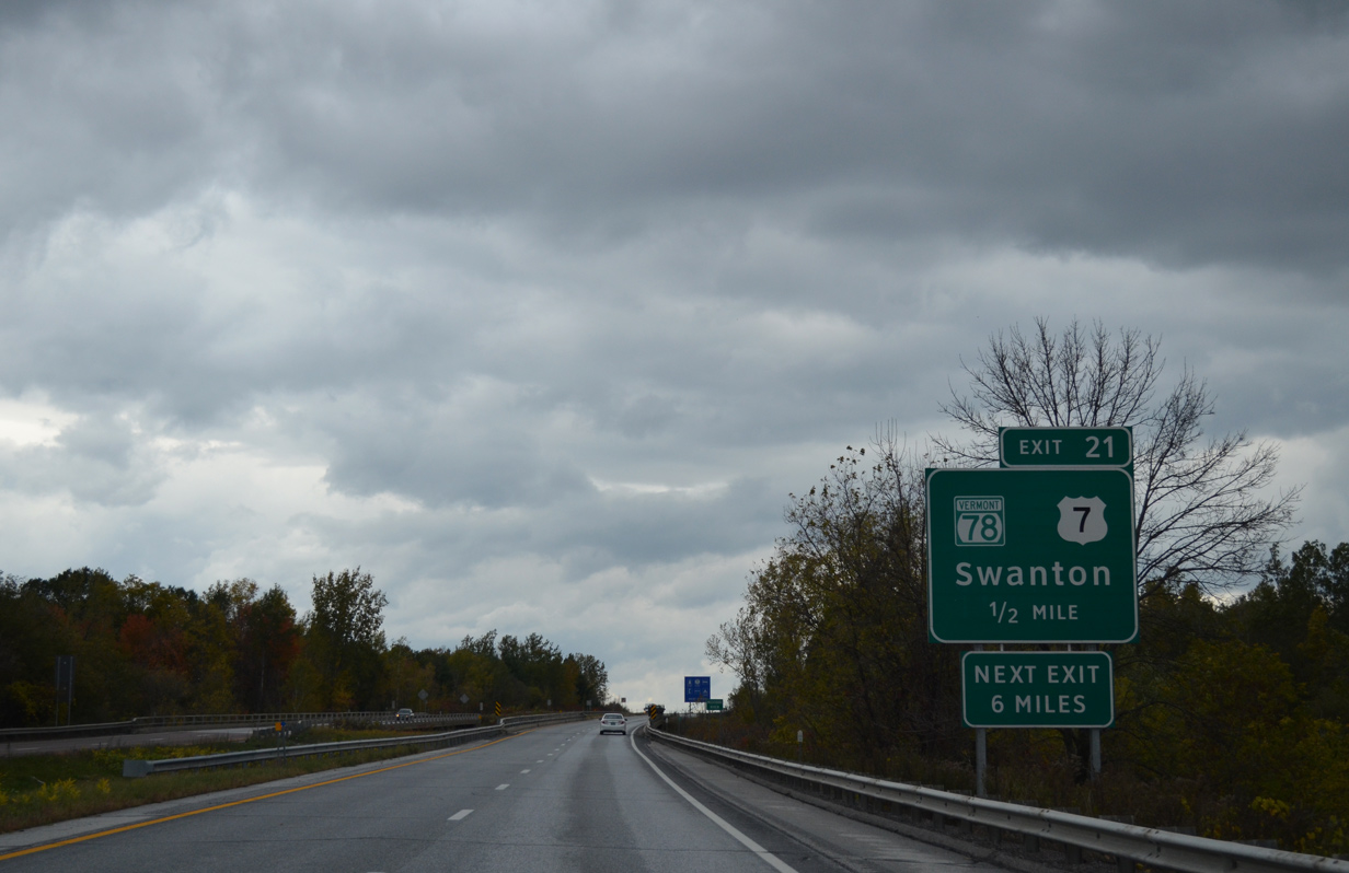
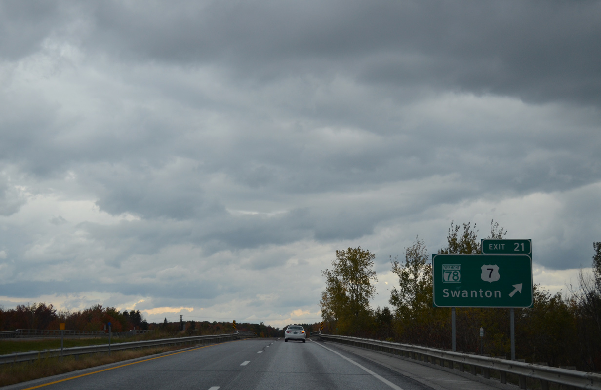
VT 78 (1st Street) meets Interstate 89 at a diamond interchange (Exit 21) in one mile.
10/08/14
Beyond the village of Swanton, VT 78 meanders northwest along the Missisquoi River to Hog Island, West Swanton and the Missisquoi Bay Bridge to East Alburg. The state route ends at U.S. 2 in Alburg, with U.S. 2 continuing west to Rouses Point, New York and U.S. 11.
10/08/14
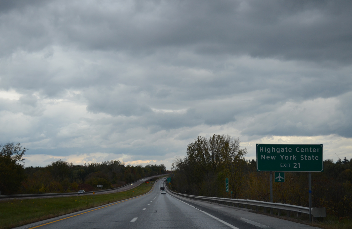
Interstate 89 remains just east of the Swanton village line to Exit 21 / Milepoint Exit 123. U.S. 7 angles west across the Missisquoi River along Grand Avenue to a one block overlap with VT 78 in the Swanton business district. The US route takes Canada and Spring Streets back east to leave the village for Highgate Springs.
10/08/14
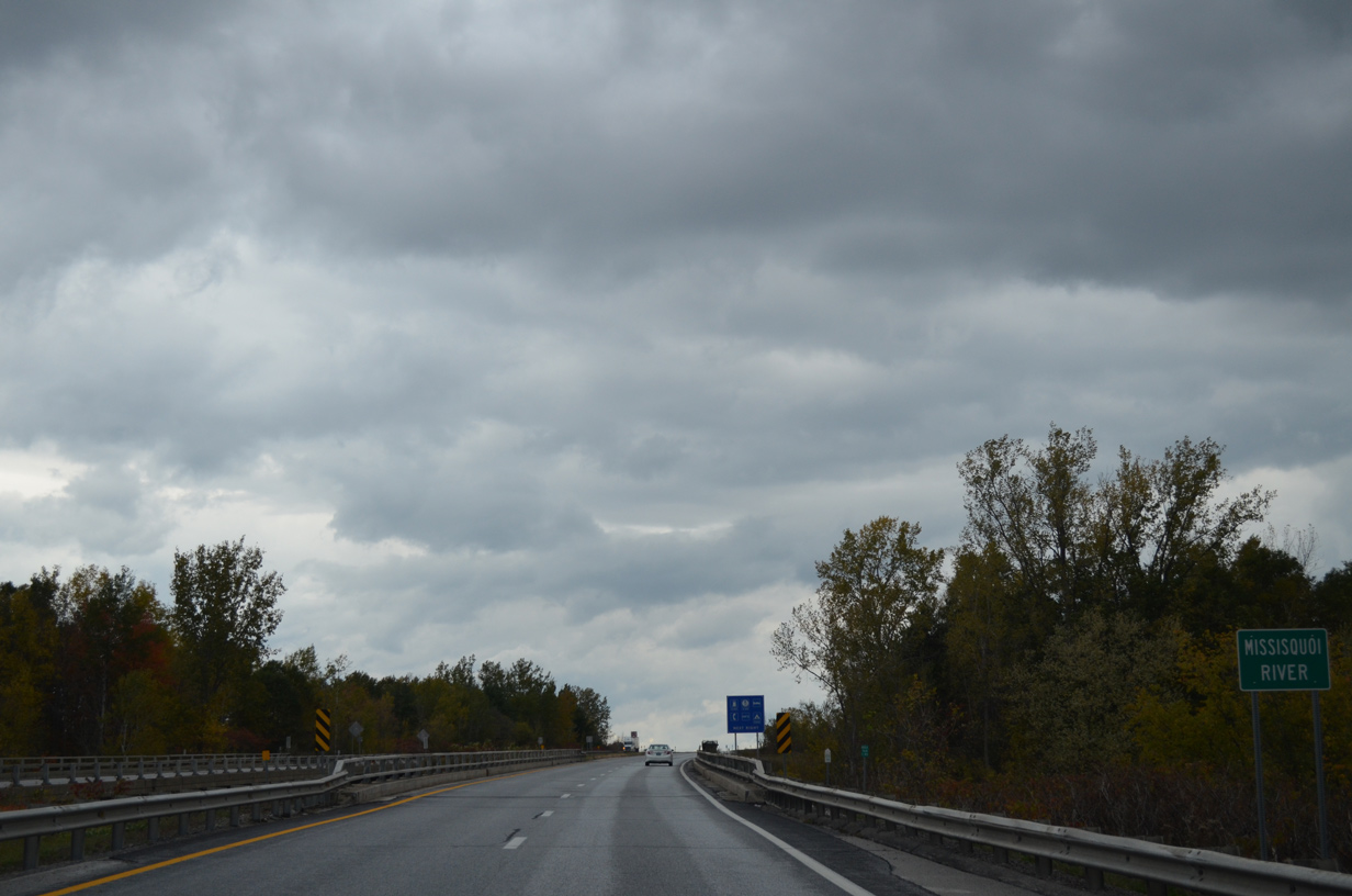
Crossing the Missisquoi River along Interstate 89 north. The 80 mile tributary of Lake Champlain drains areas of the Green Mountains along the U.S. and Quebec border via two branches.
10/08/14
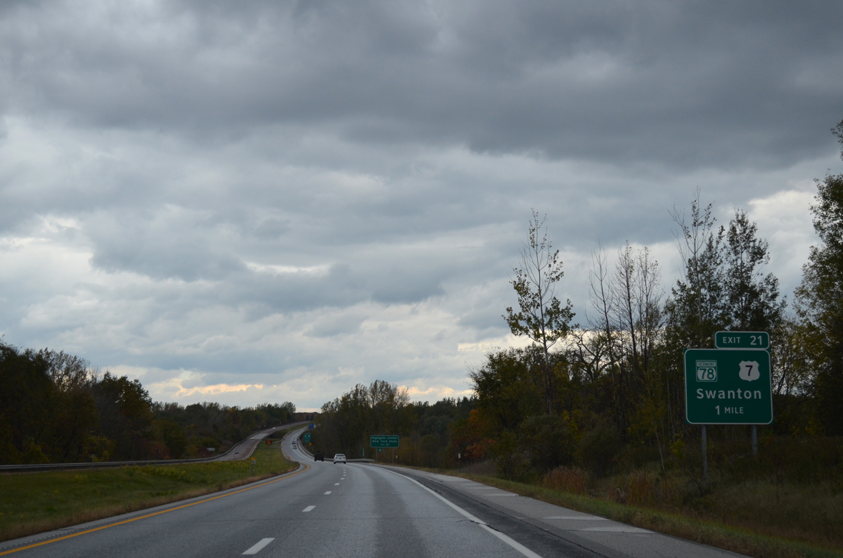
VT 78 (1st Street) constitutes a 21.16 mile long route between Alburg and VT 105 at Sheldon Junction. Highgate Center is a three mile drive to the east while the New York state line is 17 miles to the west.
10/08/14
The last reassurance marker posted for Interstate 89 north.
10/08/14
Within the town of Highgate, six miles of Interstate 89 north remain.
10/08/14
Passing east of Highgate Springs and Rock River Bay along I-89 north.
10/08/14

Two miles from Quebec, Canada along Interstate 89 northbound.
10/08/14
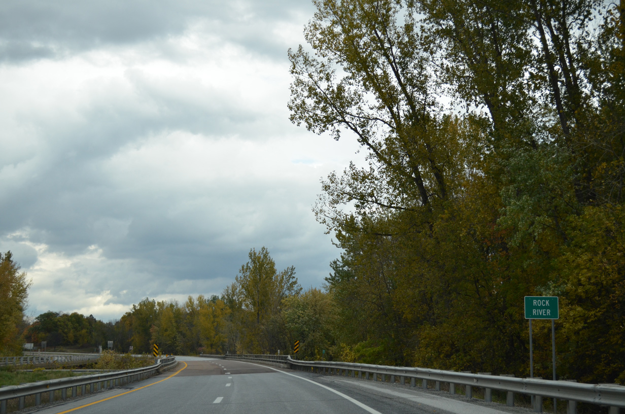
Interstate 89 next spans the Rock River, which flows southwest from Quebec into adjacent Lake Champlain.
10/08/14
U.S. 7 crosses over Interstate 89 and loops east from Rock River Bay on its final 1.5 miles.
10/08/14
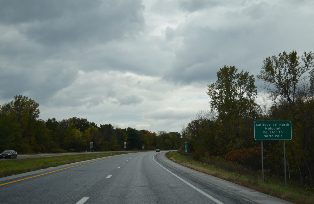
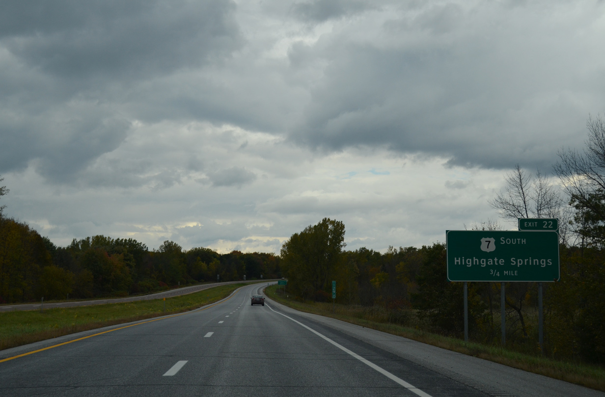
A sign marks 45 degrees latitude and the midpoint between the Equator and North Pole on Interstate 89 north a half mile south of Exit 22 / Milepoint Exit 129.
10/08/14
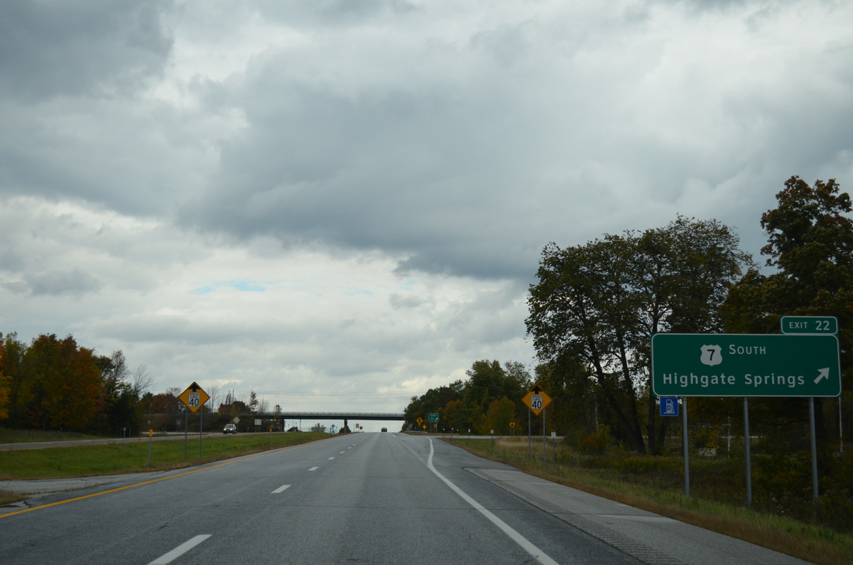
Exit 22 / Milepoint Exit 129 to U.S. 7 (Ethan Allen Highway) south provides the last departure point for motorists not heading north to Philipsburg, Quebec.
10/08/14
Interstate 89 and U.S. 7 conclude at a folded diamond interchange (Exit 22) in north Highgate. An end shield for U.S. 7 stands just west of the freeway at Country Club Road and the southbound entrance ramp.
10/08/14
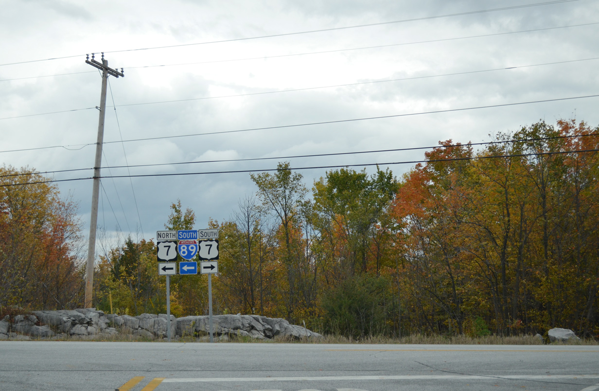
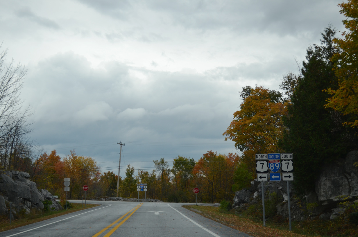
U.S. 7 leads back south to Highgate Springs. The route runs 308 miles overall from here to Norwalk, Connecticut.
10/08/14
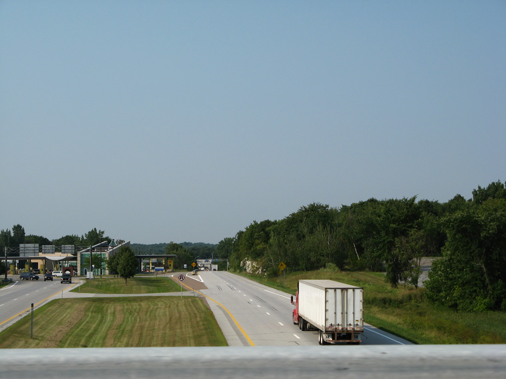
Looking north from the U.S. 7 overpass at the port of entry. Interstate 89 connects with Quebec Route 133, which leads to Autoroute 35 and Montreal.
08/02/07
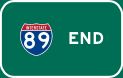

Photo Credits:
- Andy Field: 08/01/07
- Brent Ivy: 10/08/14
- Alex Nitzman: 07/24/05
- AARoads: 08/02/07
Page Updated Thursday March 05, 2015.