
Interstate 90 East - Hardin to Wyoming
Interstate 90 generally travels southward from Hardin to a point east of Buffalo, some 60 plus miles south of the Montana state line.
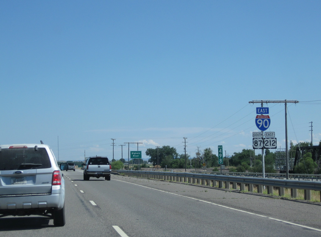
08/08/11
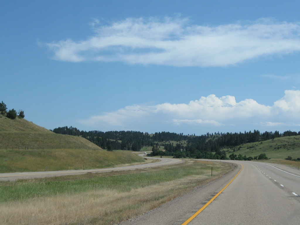
Spanning the Bighorn River adjacent to S-384 (Old U.S. 87/212) and a BNSF Railroad line. The Bighorn River flows 461 miles northward from Wind River Canyon, south of Thermopolis, Wyoming, to the Yellowstone River by Government Island, east of Custer.
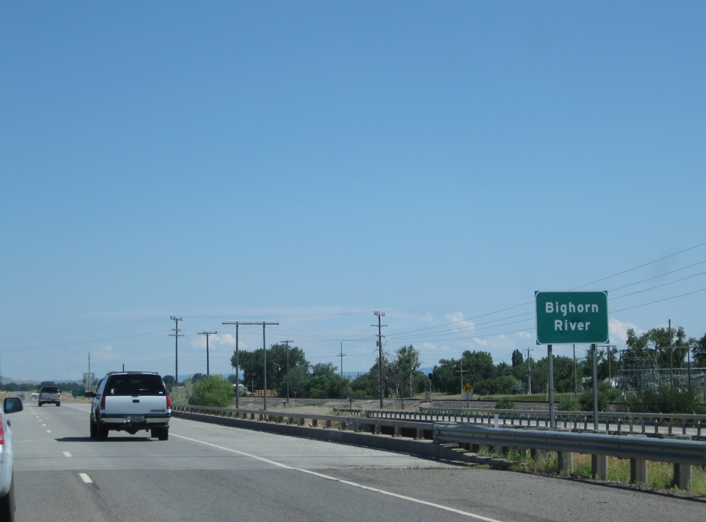
08/08/11
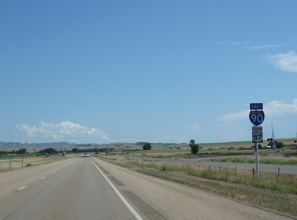
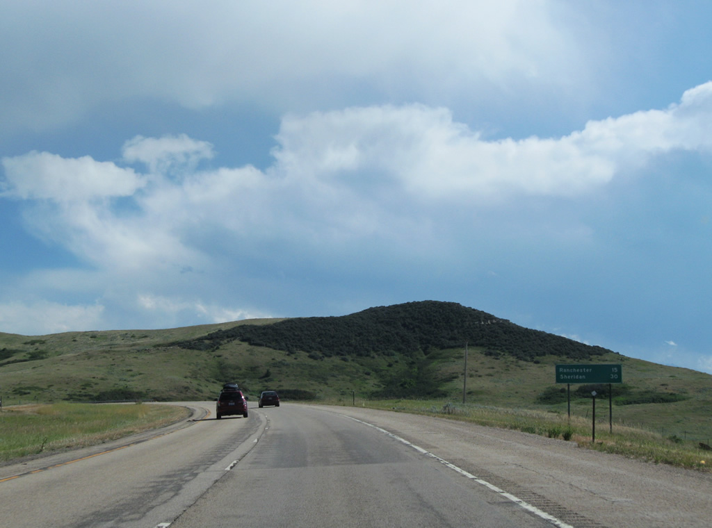
Crow Agency, a community of 1,616 per the 2010 census, is the next destination on I-90/U.S. 87/212 east. Sheridan, Wyoming is 83 miles away.
08/08/11
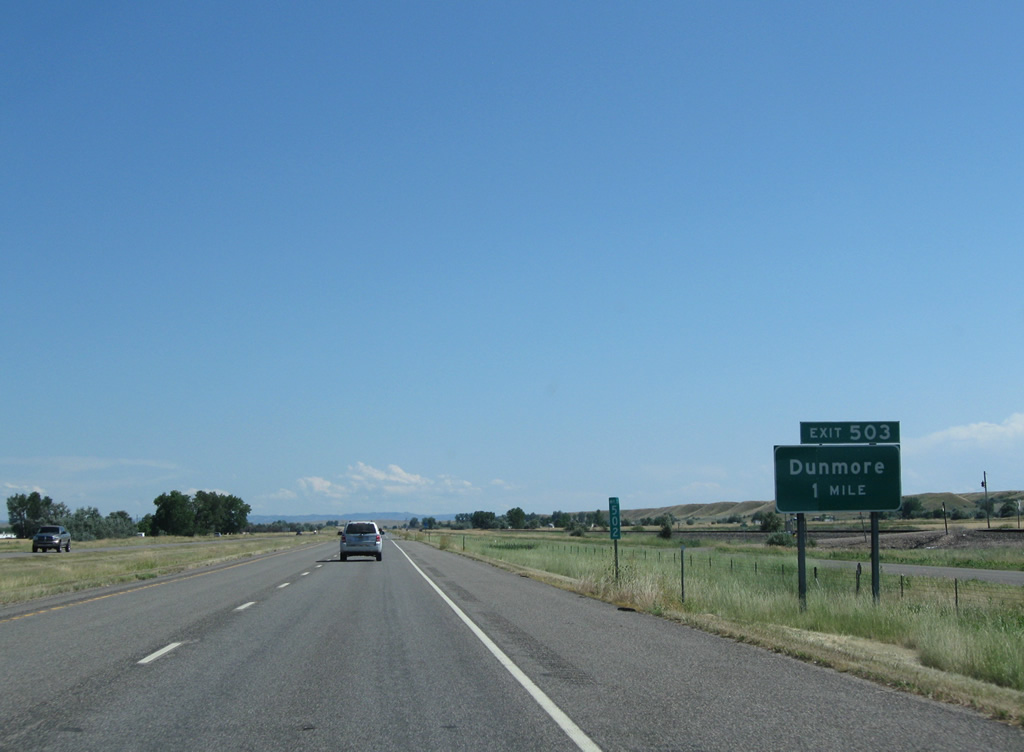
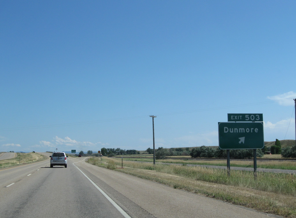
The diamond interchange at Exit 503 joins I-90 with Dunmore Road west and Crow River Road east. Dunmore is a BNSF Railroad siding along Old U.S. 87/212, which remain as a frontage road to I-90.
08/08/11
Dunmore Road heads west and then south from Exit 503 through open ranch land while Crow River Road stairsteps southeastward along the Little Bighorn River to Crow Agency.
08/08/11
Continuing southward along I-90/U.S. 87-212. River Crow Road runs along the east side of the freeway, from the Bighorn River southward to Crow Agency, while Old U.S. 87-212 follow Mountain Crow Road along the west side.
08/08/11
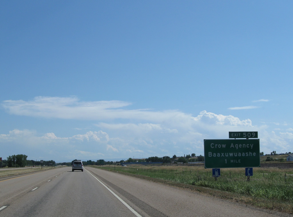
Interstate 90 travels through Crow Agency, capital of the Crow Nation, at Exit 509 with Makawasha Avenue east to Little Big Horn College and BIA-1 west to S-313.
08/08/11
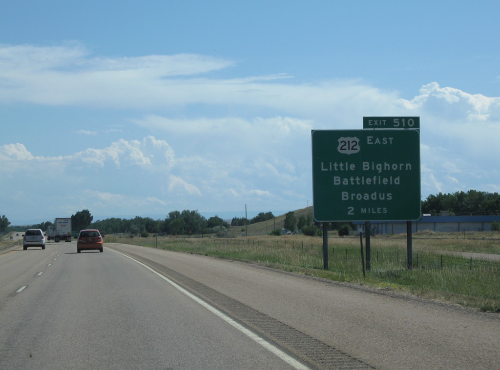
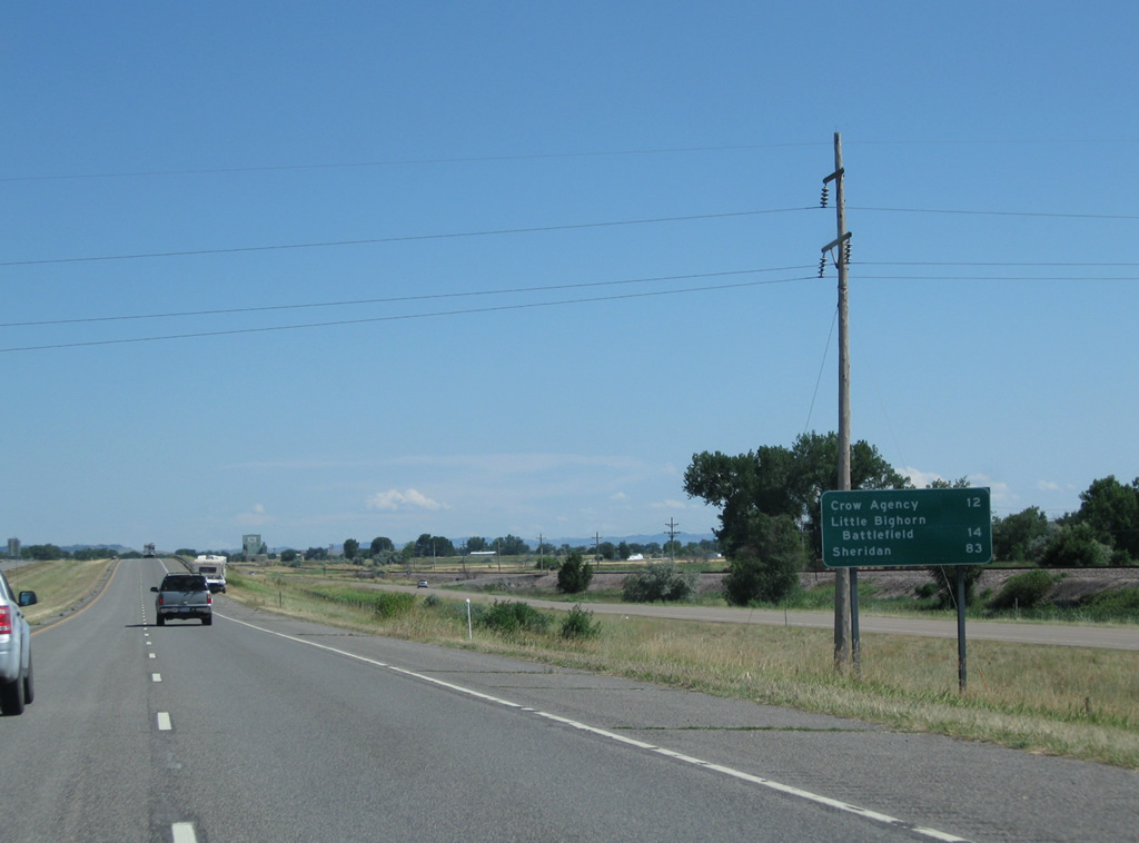
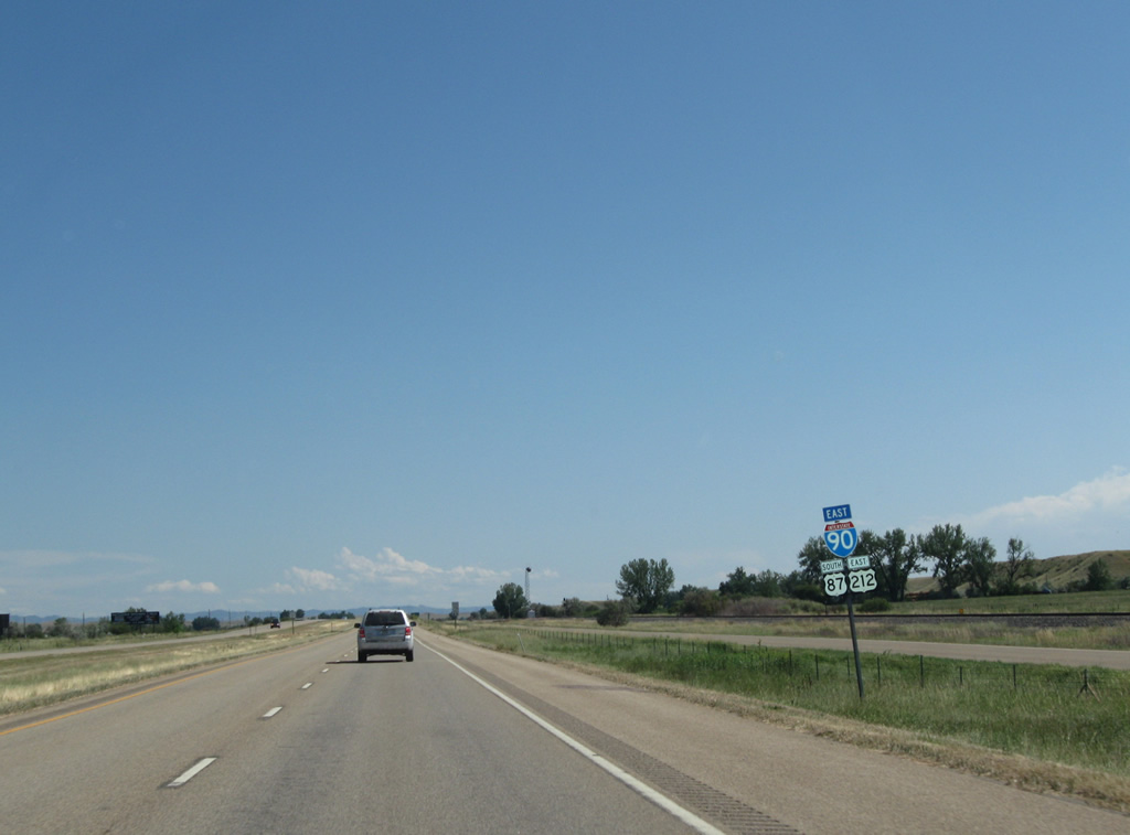
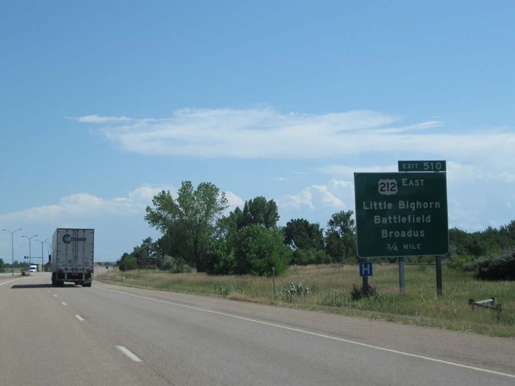
U.S. 212 parts ways with I-90 east / U.S. 87 south at the following exit for Little Bighorn Battlefield, Lame Dear and the Powder River County seat of Broadus.
08/08/11
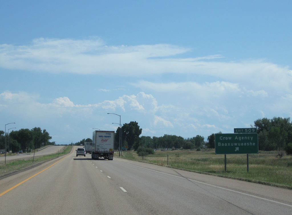
Exit 509 departs I-90 east for Crow Agency and Baaxuwuaashe. Baaxuwuaashe is the tribal word for the community adjacent to Exit 509 and literally means " flour mill ". The term was added to signage in early 2006 as part of an effort for the Crow Indians to take their story to the road.1 BIA-1 meanders west 10.3 miles to S-313, midway between Saint Xavier and Hardin.
08/08/11
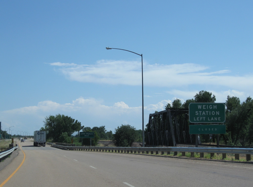
A weigh station was formerly located within the median of Interstate 90 between the Little Bighorn River and Exit 510 for U.S. 212 east.
08/08/11

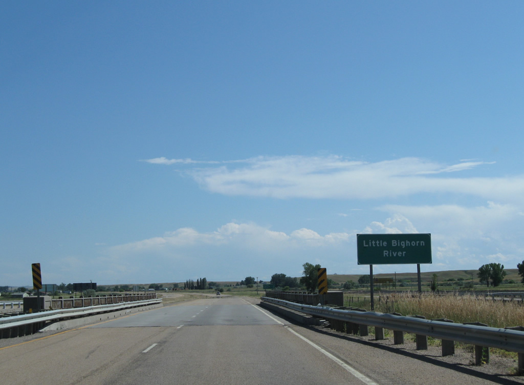
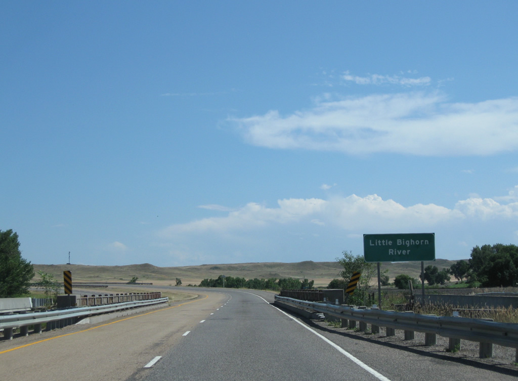
Crossing the Little Bighorn River, a waterway Interstate 90 parallels south from Hardin. The 138 mile long tributary of the Bighorn River flows northward from Sheridan County, Wyoming. Its banks were the site of the Battle of Little Bighorn in 1876.2
08/08/11
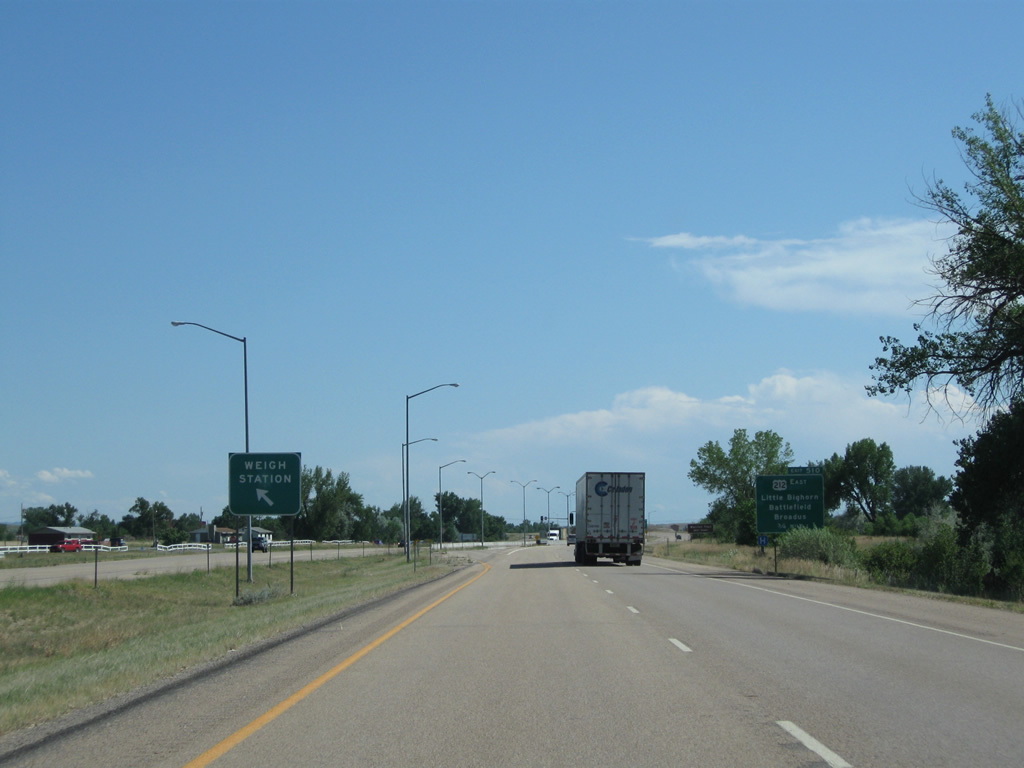
Removed in 2016, a weigh station was located within the median of I-90/U.S. 87-212 ahead of Exit 510 for U.S. 212 east to Broadus. A second weigh station within the median of I-90 lies west of Exit 16 and Haugan.
08/08/11
U.S. 212 constitutes a 949 mile long route from Yellowstone National Park to Edina, Minnesota, a suburb of Minneapolis. U.S. 212 follows a rural course through southeastern Montana, reentering Wyoming beyond Alzada, before continuing east to South Dakota. Within Montana, U.S. 212 was designated as the Warrior Trail by the 2007 Montana Legislature.3
08/08/11
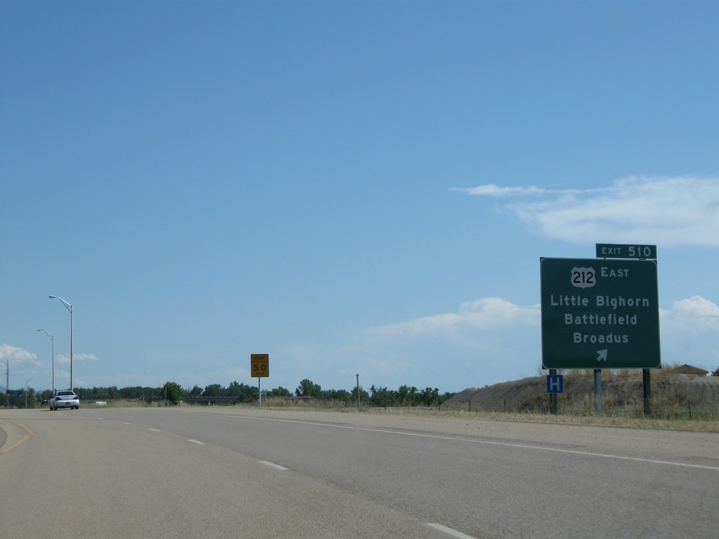
Frontage roads tie into both sides of the diamond interchange at Exit 510, connecting I-90/U.S. 87 with Crow Northern Cheyenne Hospital and local ranches to the west. U.S. 212 intersects S-342 (Battlefield Tour Road), the access road to Little Bighorn Battlefield National Monument, 0.7 miles to the east.
08/08/11
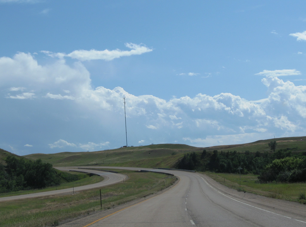
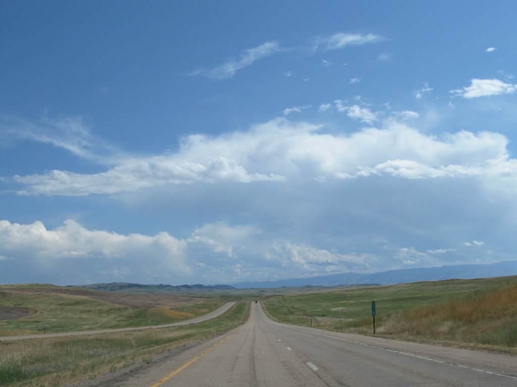
Interstate 90 east / U.S. 87 continue from U.S. 212 and Crow Agency on what was a only a two-lane freeway until 1976.
08/08/11
The Little Bighorn River shifts east of I-90/U.S. 87 to Little Bighorn Battlefield National Monument. Interstate 90 overlaid U.S. 87 on this stretch, with southbound traffic utilizing the original 1956 bridge and northbound motorists spanning the river on a 1976 bridge.
08/08/11
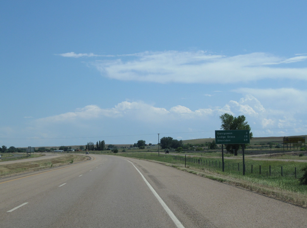
Garryowen, another railroad siding, is the next exit on Interstate 90 east in three miles. Lodge Grass, a town of less than 500, follows in 19 miles.
08/08/11
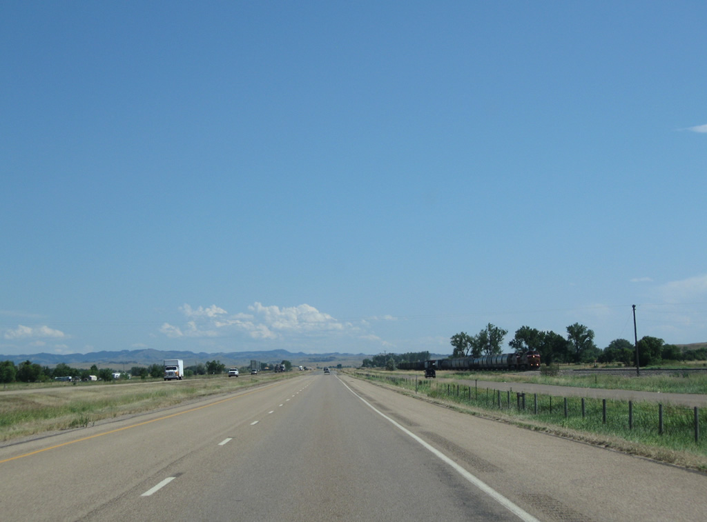
A BNSF engine heads northward as Interstate 90 continues toward Garryowen. The BNSF Railroad and I-90 parallel one another to third crossing of the Little Bighorn River.
08/08/11
A diamond interchange (Exit 514) joins I-90/U.S. 87 with S-451 south to Benteen in one mile. S-451 travels 38.05 miles along old U.S. 87, from Garryowen and I-90, to the Wyoming state line south of Wyola.
08/08/11
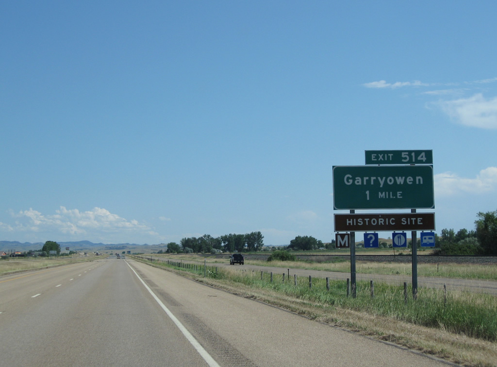
Exit 514 departs I-90/U.S. 87 east for Garryowen and the Reno-Benteen Battlefield Memorial. S-451 overtakes the west side frontage road while Garryowen Road lines the east side to the Little Bighorn River.
08/08/11
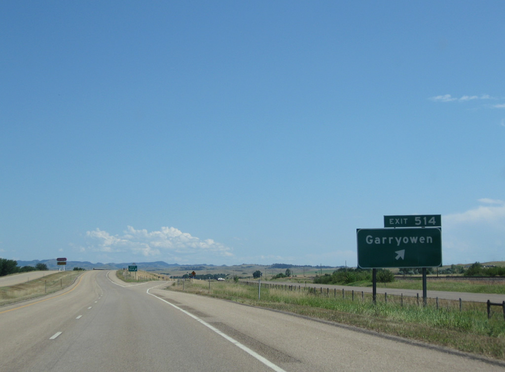
Confirming markers for I-90/U.S. 87 south of Garryowen.
08/08/11
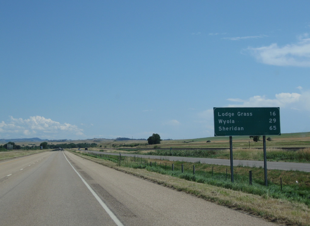
I-90/U.S. 87 advance 16 miles south to Lodge Grass and 29 miles to Wyola. Sheridan is less than an hour away.
08/08/11
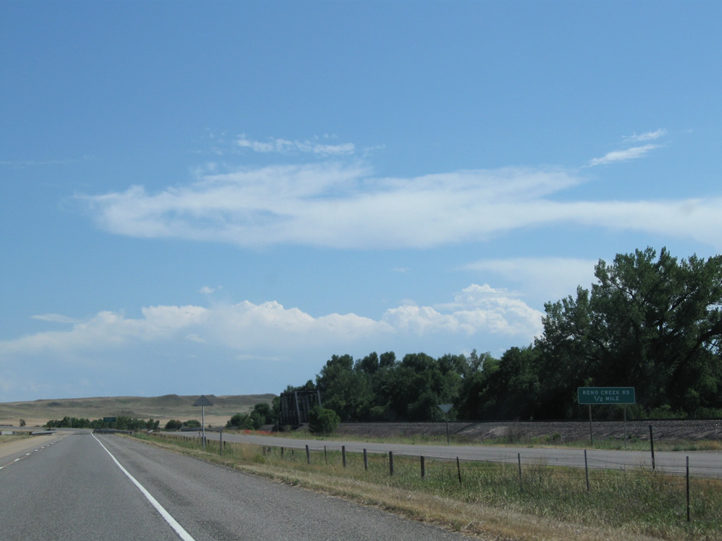
Converging with the Little Bighorn River again, I-90/U.S. 87 separate from S-451 (old U.S. 87) at Reno Creek Road. Old U.S. 87 stays to the west through Benteen, Lodge Grass and Wyola while Interstate 90 shifts eastward.
08/08/11
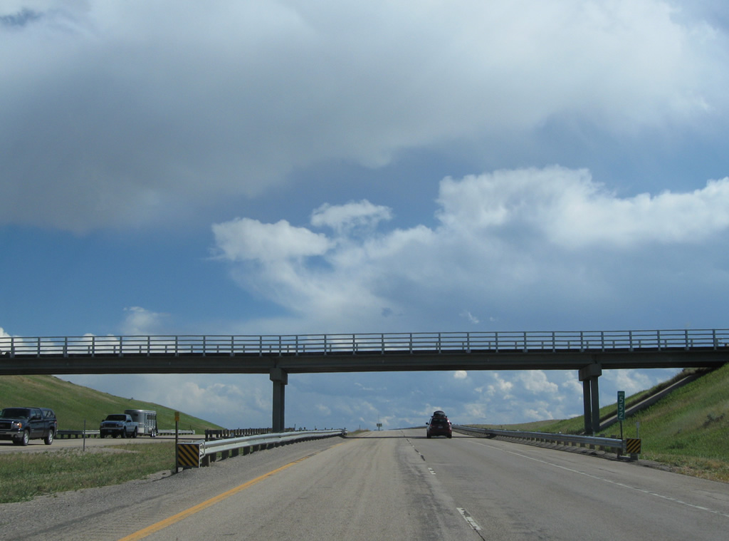
The third and final set of bridges across the Little Bighorn River lie a short distance north of the Benteen railroad siding. Southbound travelers utilize a 1956 bridge while northbound traffic takes a 1980 span.
08/08/11
Beyond the Reno Creek Road underpass, Interstate 90 climbs 150 feet to over 3,300 feet in elevation.
08/08/11
I-90/U.S. 87 south ahead of Long Otter Creek and a local ranch road under crossing.
08/08/11
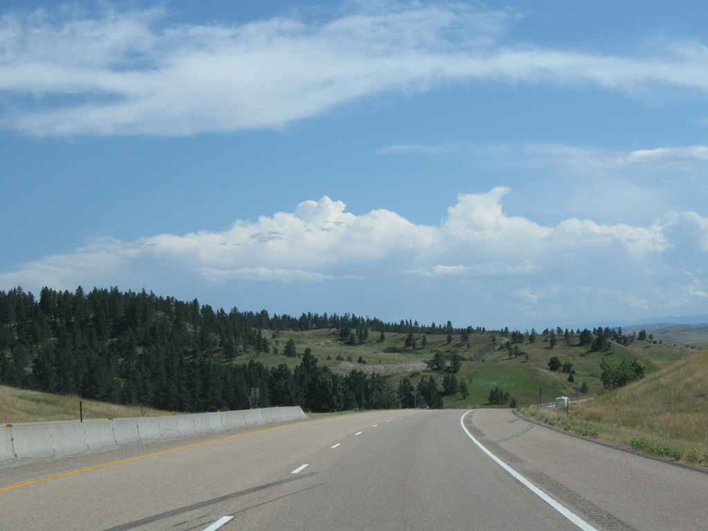
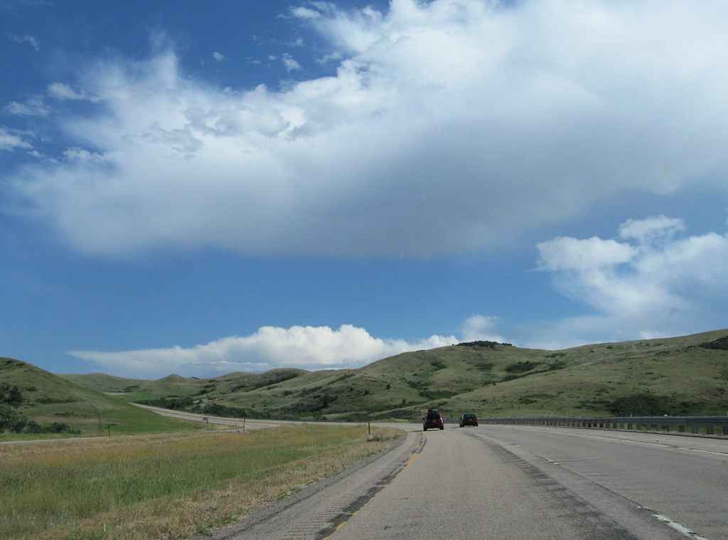
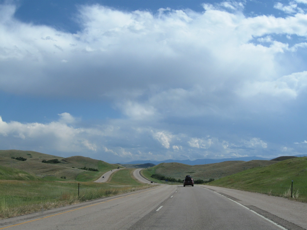
Continuing southward across the hills east of the Little Bighorn River valley, I-90/U.S. 87 navigate through several more S-curves while rising to over 3,400 feet above sea level.
08/08/11
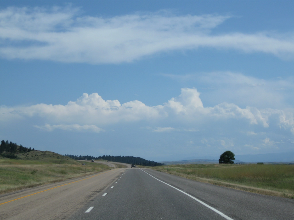
South from Slaughter Creek, several tree stands populate the landscape as I-90/U.S. 87 climb to an elevation of 3,500 to 3,600 feet above sea level.
08/08/11
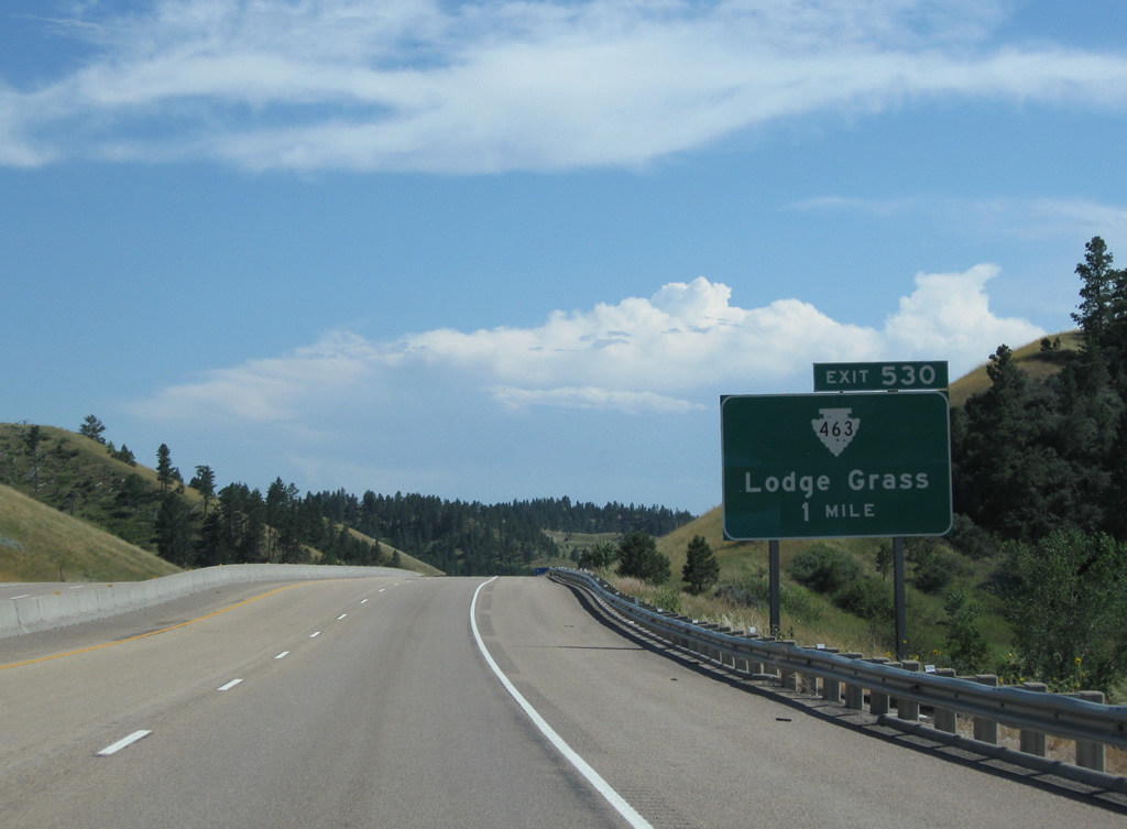
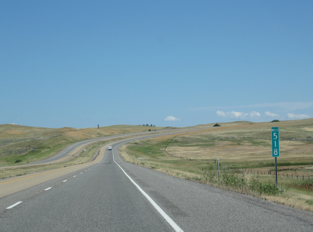
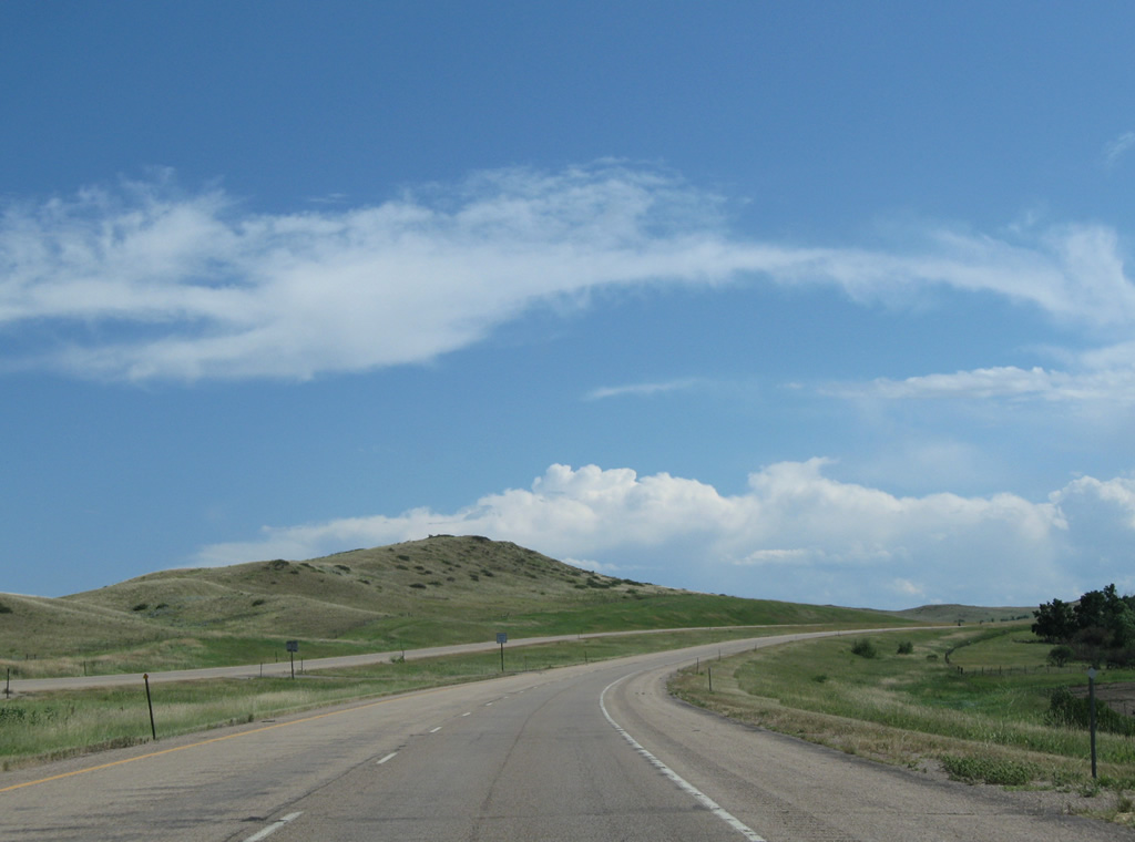
Montana Secondary Highway 463 begins at the forthcoming diamond interchange (Exit 530) with Owl Creek Road east in one mile.
08/08/11

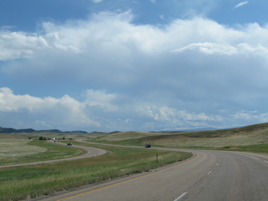
Interstate 90 lines the bluffs overlooking both Little Bighorn River valley and the town of Lodge Grass.
08/08/11
Exit 530 departs I-90/U.S. 87 from a valley just east of Lodge Grass. S-463 heads west 0.7 miles to S-451 (Old Highway 87) on the east edge of town.
08/08/11
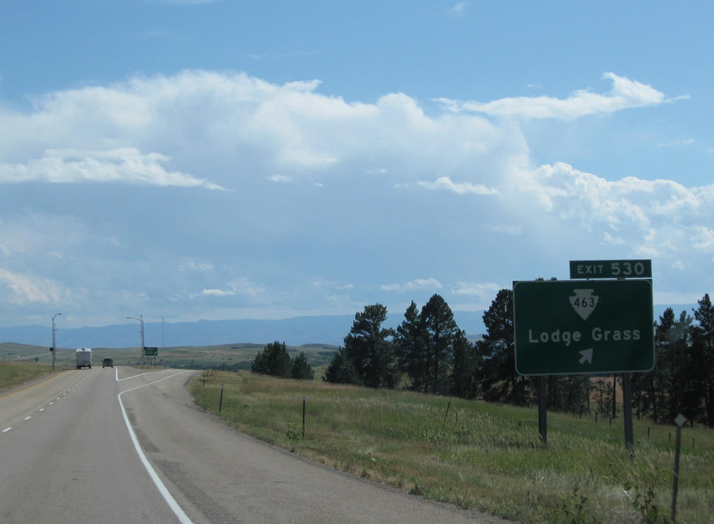
Overall a 14.20 mile route, S-463 follows Main Street and Harding Avenue through Lodge Grass, exiting the town along Lodge Grass Creek Road to Willow Creek Dam Road near Lodge Grass Storage Reservoir.
08/08/11
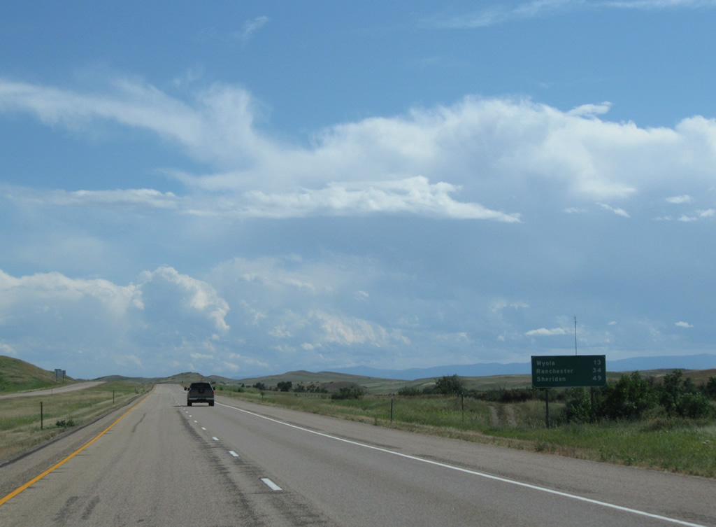
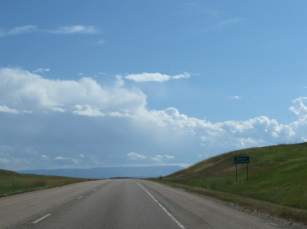
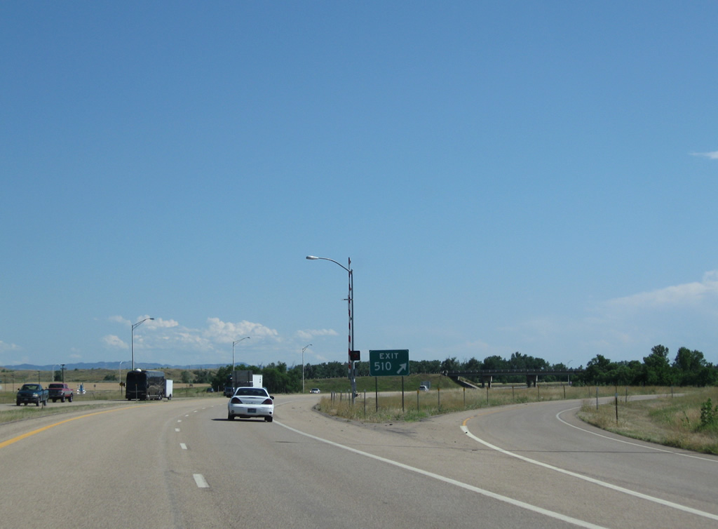
Ranchester, Wyoming debuts on Interstate 90 eastbound distance signs at 34 miles out. Wyola, 13 miles to the south, is the next and second to last, interchange in Montana.
08/08/11
I-90/U.S. 87 make an S-curve and cross Owl Creek onto another set of hills southeast of Lodge Grass.
08/08/11
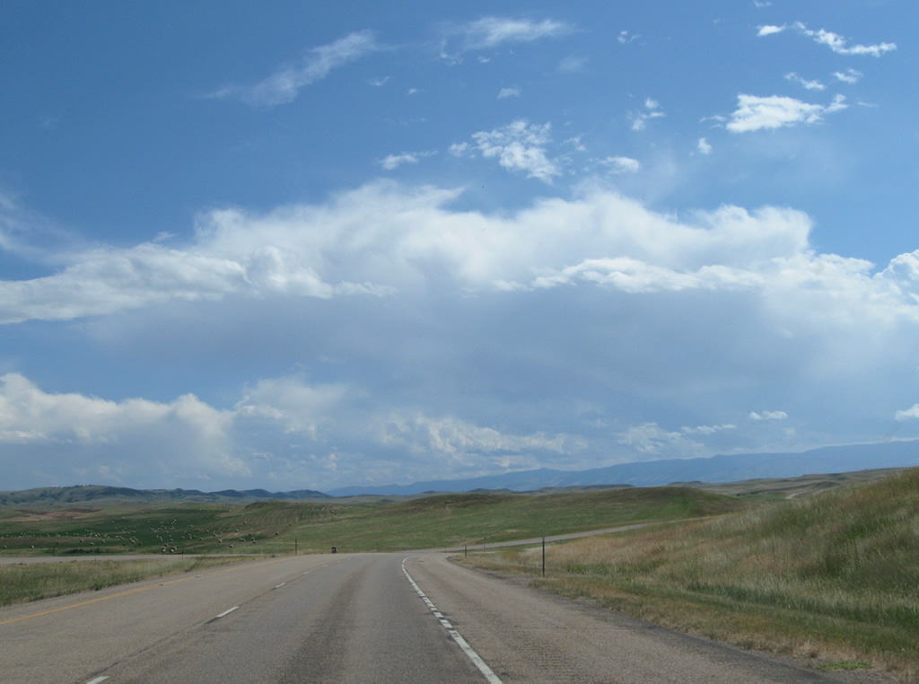
The Bighorn Mountains spread into view along the southern horizon.
08/08/11
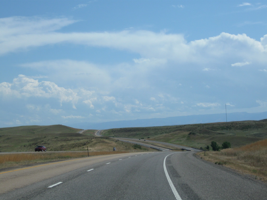
Agricultural fields abut the east side of Interstate 90 along the long exit-less stretch south to Wyola. The railroad siding of Spear lies west of here along S-451 (old U.S. 87).
08/08/11

A handful of trees grow next to Halfway Creek, which parallels Interstate 90 southward for a stretch north of Exit 544.
08/08/11
A final set of curves lead drivers toward the diamond interchange with S-457 west and Bear Creek Road east as Interstate 90 increases to over 3,900 feet in elevation.
08/08/11
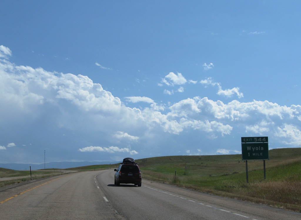
S-457 constitutes a 1.51 mile connector (Wyola Access Road) between Exit 544 and S-451 (Old U.S. 87) at Wyola.
08/08/11
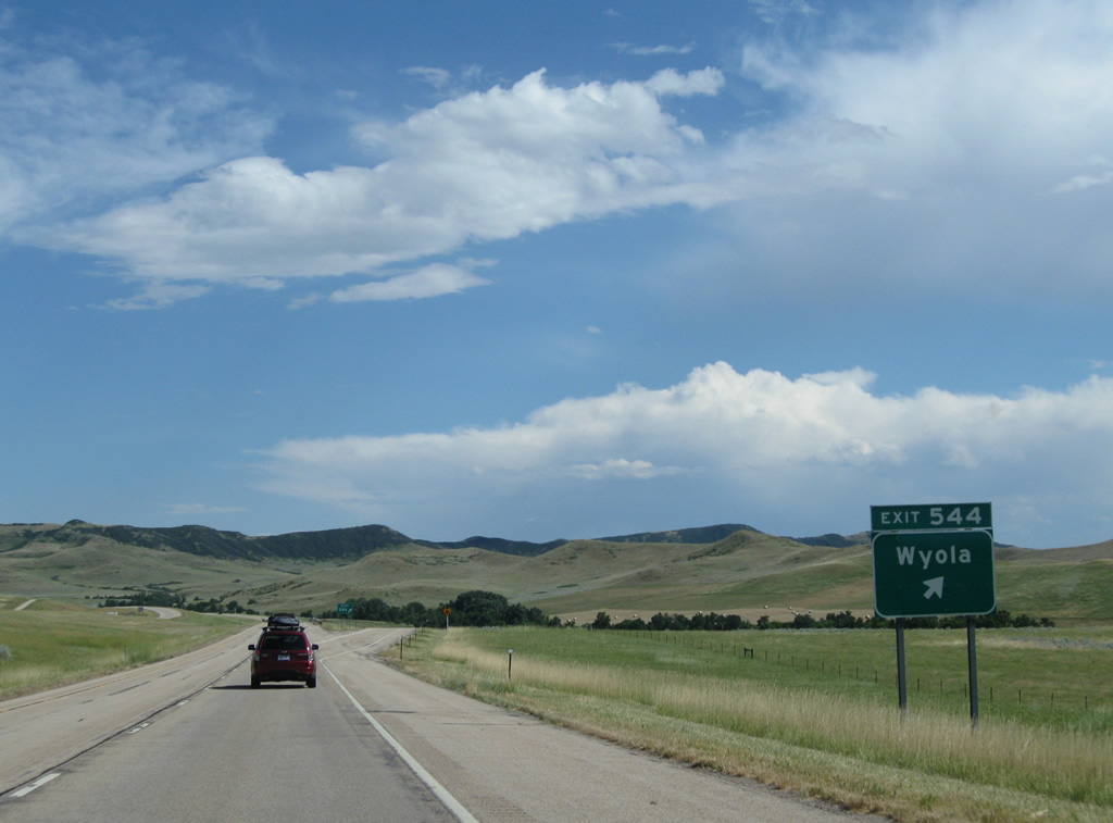
Exit 544 leaves I-90/U.S. 87 east for S-457 west to Wyola and Bear Creek Road east.
08/08/11
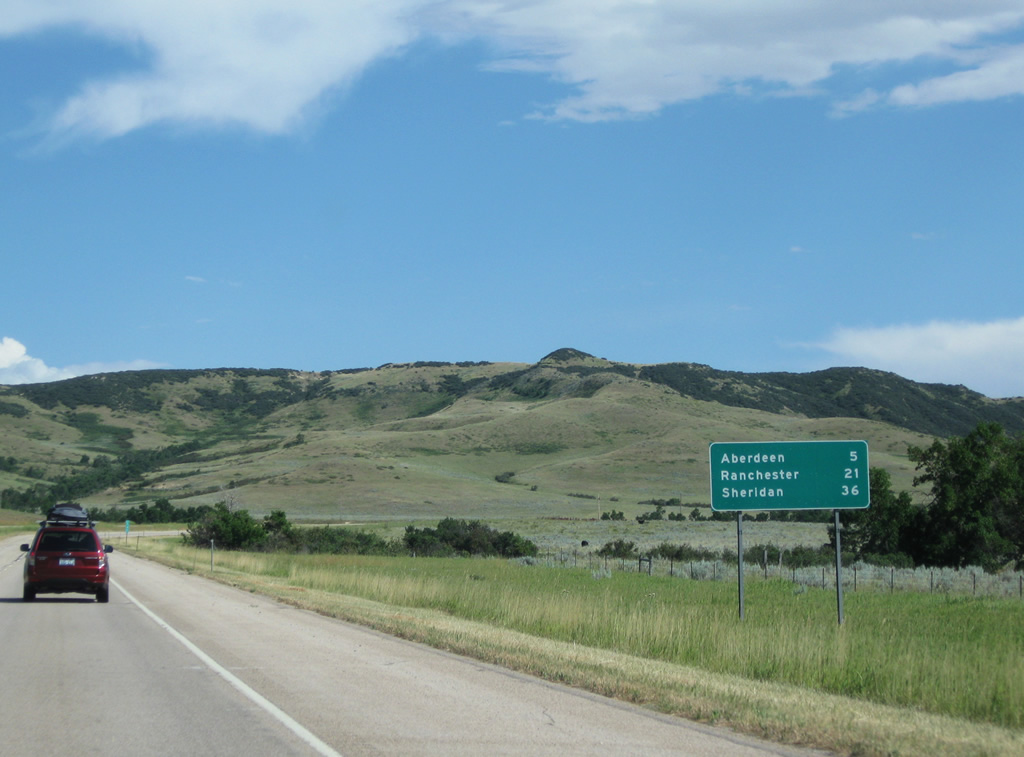
Aberdeen lies west of the final Treasure State exit in five miles. Ranchester is the second Wyoming exit, located 21 miles to the southeast.
08/08/11
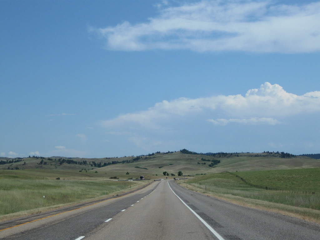
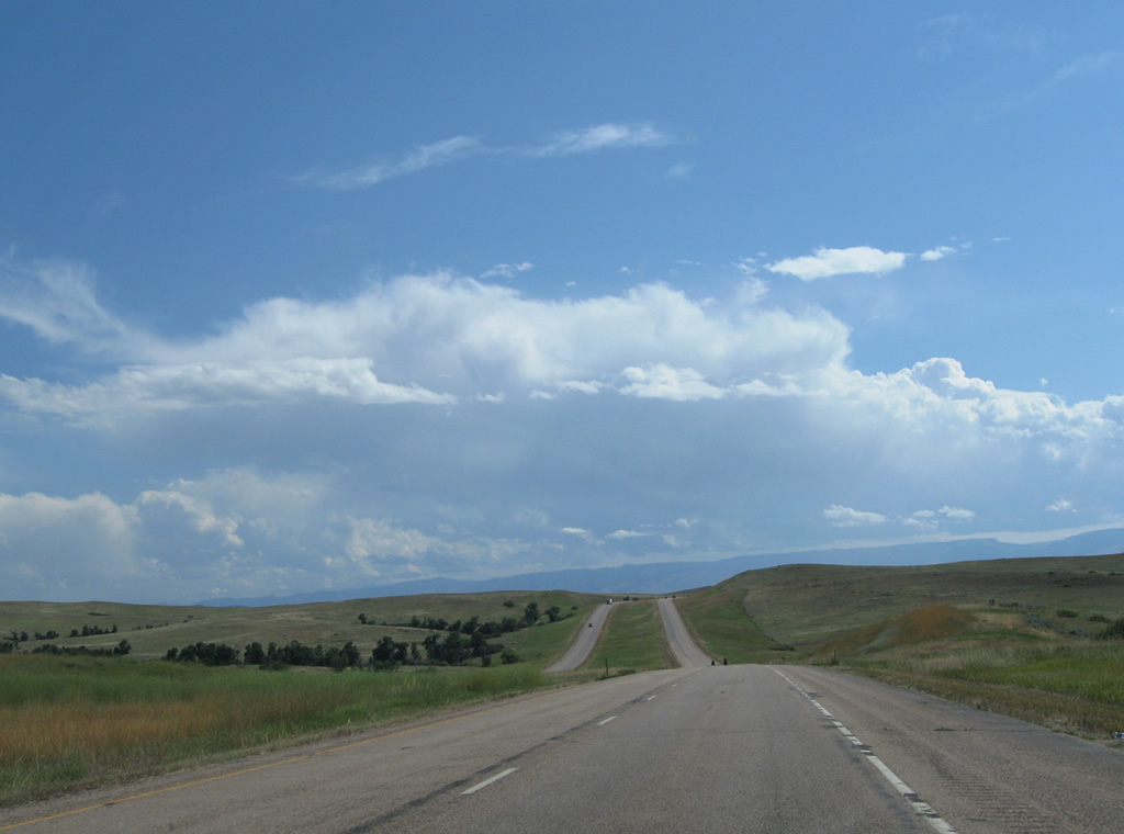
I-90/U.S. 87 meander southward from an elevation of 4,000 feet toward the distant Bighorn Mountains in Wyoming.
08/08/11
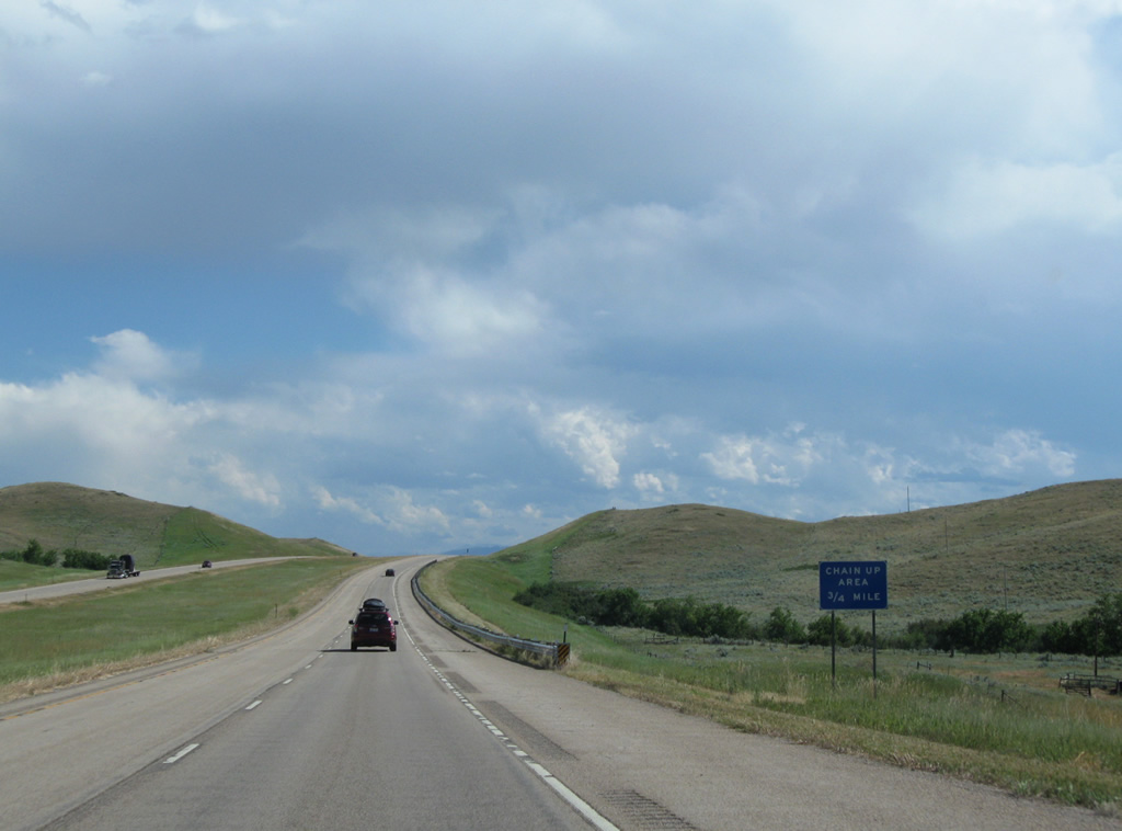
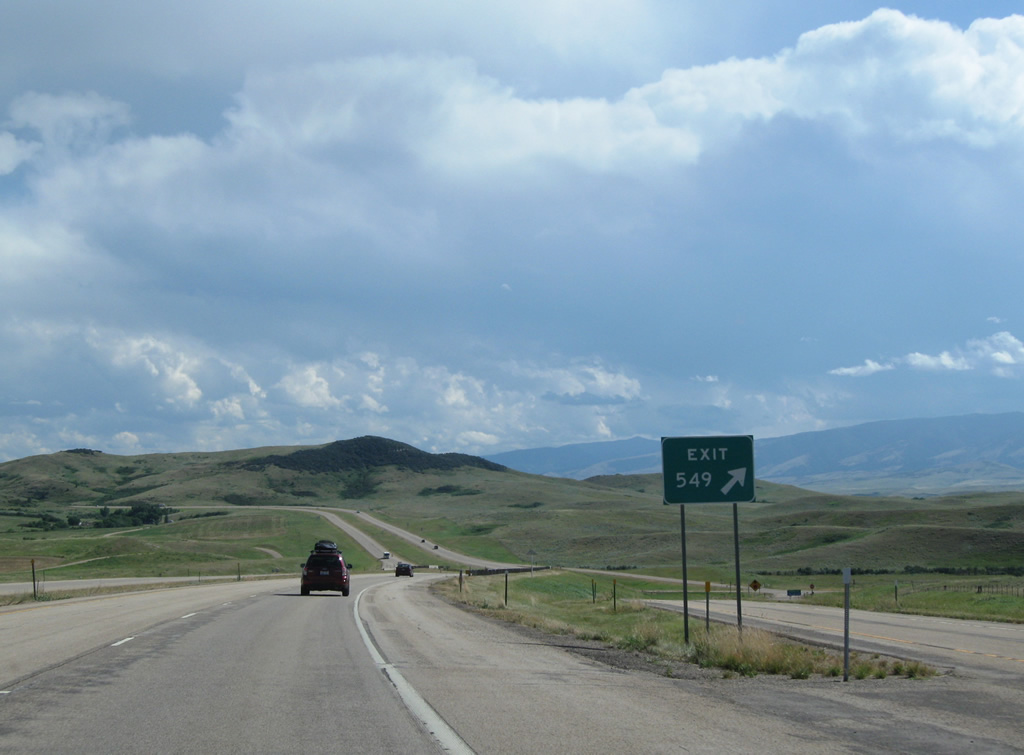
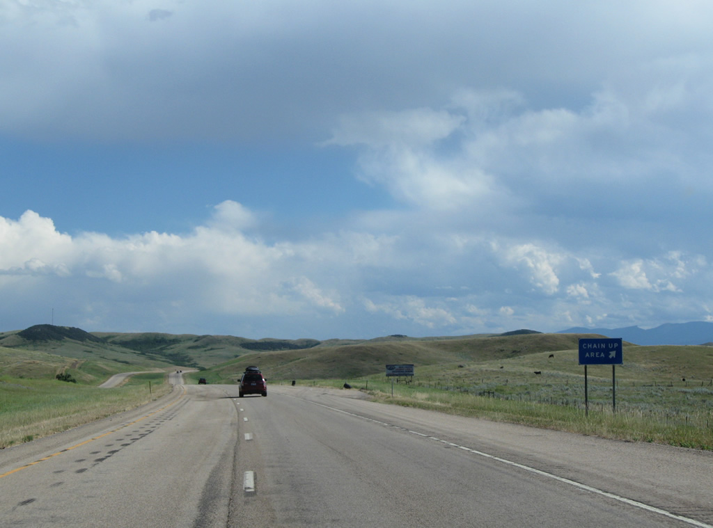
A chain up area precedes the diamond interchange (Exit 549) with Aberdeen Road along I-90/U.S. 87 eastbound.
08/08/11
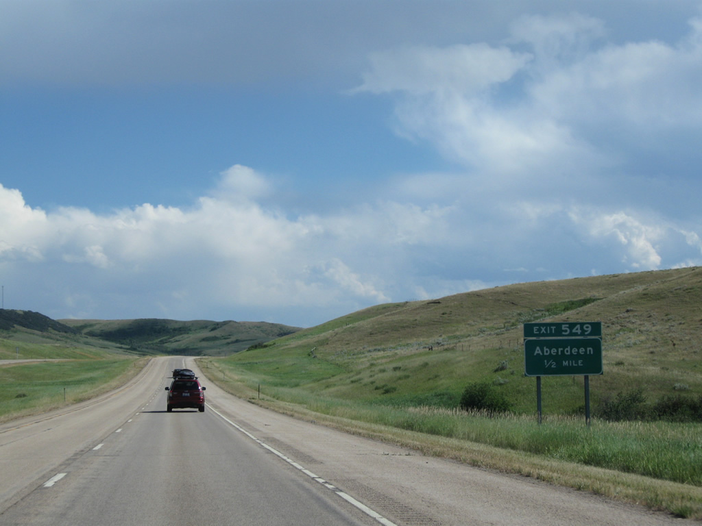
Aberdeen Road leads west 0.9 miles to Montana Secondary Highway 451 (old U.S. 87) at Pass Creek Road. The railroad siding of Aberdeen lies nearby.
08/08/11
Sheep Creek Road stems east from Exit 451 and Interstate 90. Old U.S. 87 and the BNSF Railroad part ways from Aberdeen south to Parkman, Wyoming, where the two reconvene and parallel one another east to Ranchester.
08/08/11
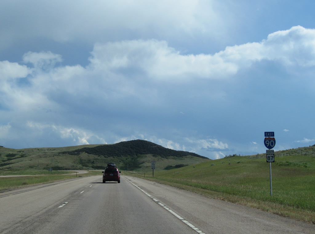
The last set of shields for I-90 east / U.S. 87 south posted in Montana.
08/08/11
U.S. 14 combines with I-90/U.S. 87 at Ranchester, Wyoming in 15 miles and leaves at Sheridan, Wyoming in 30 miles.
08/08/11
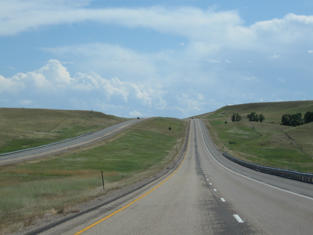
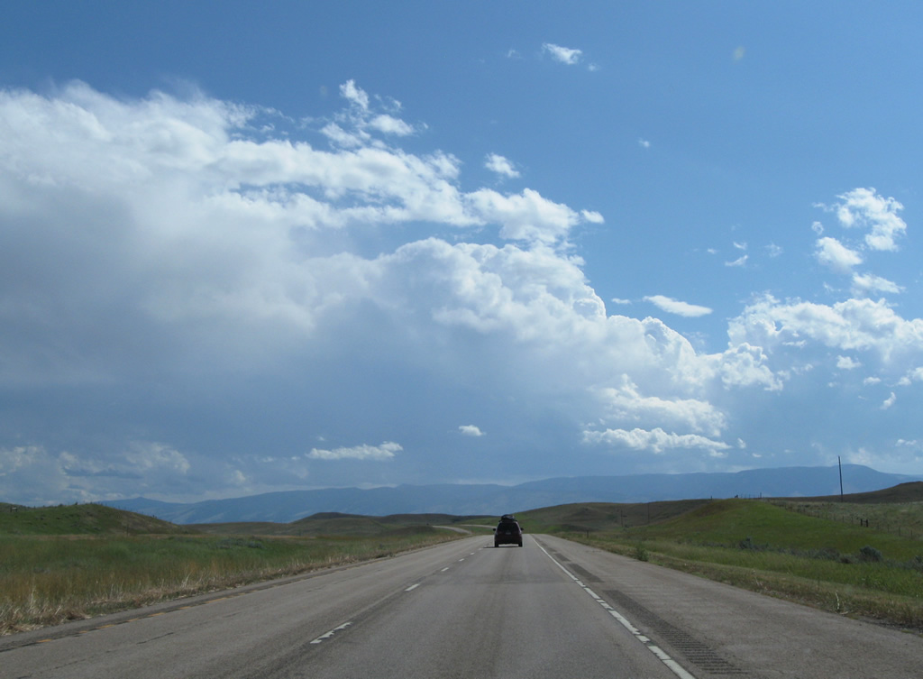
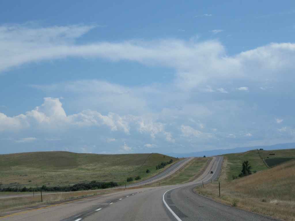
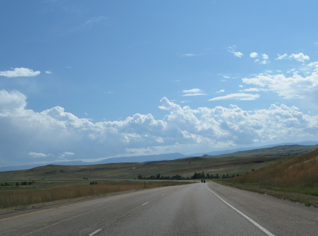
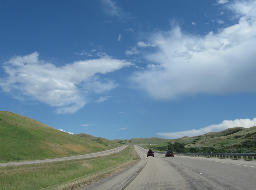
I-90/U.S. 87 increase to over 4,400 feet in elevation south through the hills west of the Wolf Mountains and east of Twin Creek, a tributary of the Little Bighorn River.
08/08/11
A ranch access overpass spans I-90/U.S. 87 at milepost 552.
08/08/11
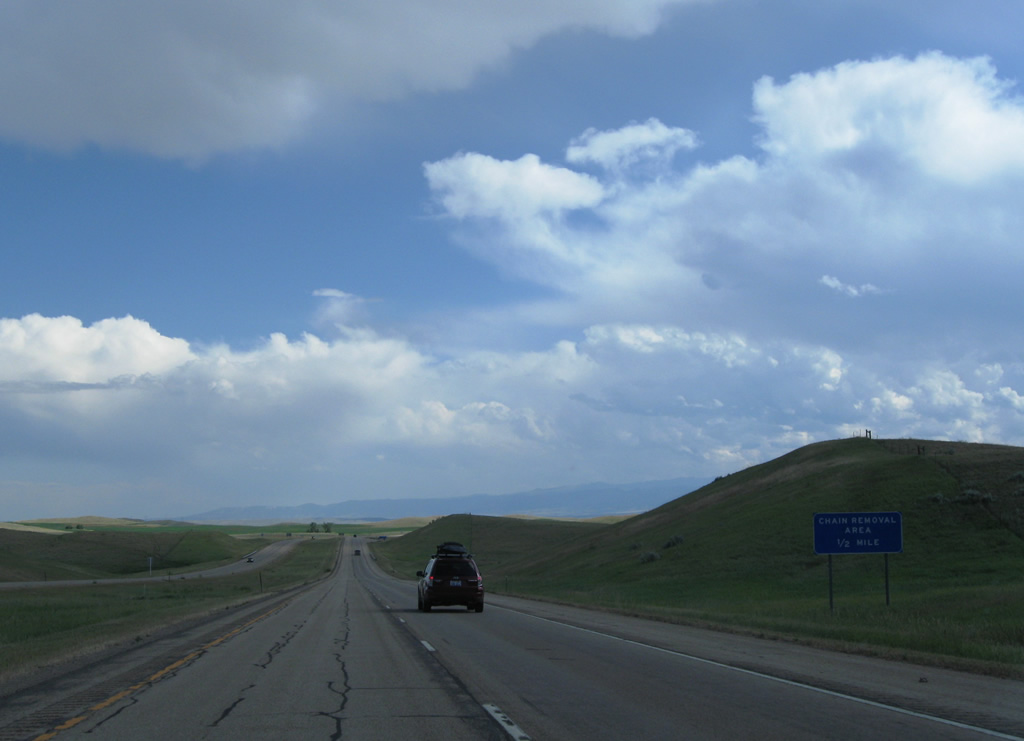
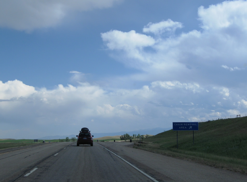
Interstate 90 gradually lowers from over 4,400 feet in elevation to around 4,280 feet at the state line. A chain removal area lines the eastbound lanes 0.6 miles ahead of the Wyoming state line.
08/08/11
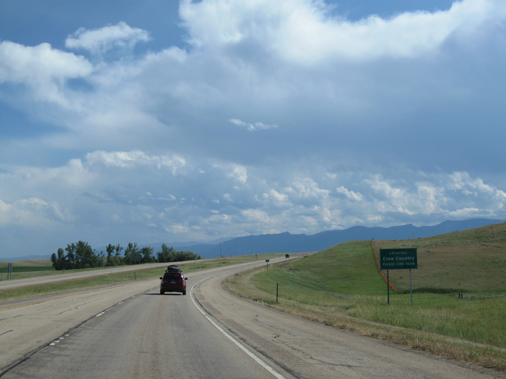
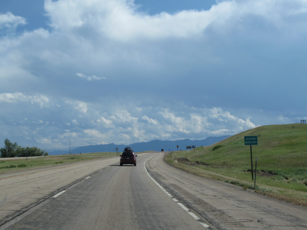
I-90/U.S. 87 south leave Crow Country at the Sheridan County, Wyoming line.
08/08/11
References:
- "Tribes seek traditional names for highway signs." trib.com, April 25, 2006. https://trib.com/news/state-and-regional/tribes-seek-traditional-names-for-highway-signs/article_f538b4af-efab-53b9-91c1-7b27f2a84a88.html
- Little Bighorn River. Wikipedia. https://en.wikipedia.org/wiki/Little_Bighorn_River
- "About The Warrior Trail – Hwy 212 That Runs Through Broadus and The Region." Mills Auction and Real Estate, November 29, 2010. http://ranchpropertypro.com/2010/11/about-the -warrior-trail-hwy-212-that-runs-through-broadus-and-the-region/
Photo Credits:
- Andy Field: 08/08/11
Page Updated Wednesday July 17, 2013.