
Montana Road & Highway Photo Guides
Sitemap to road and highway photo guides for Montana.
Interstates
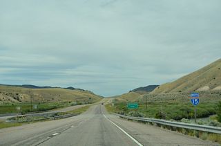
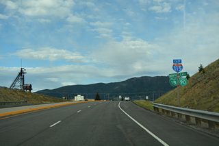
 Interstate 15
626 photos
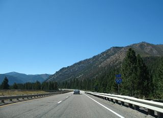
 Interstate 90
935 photos
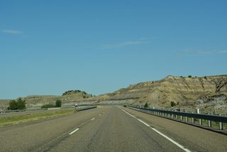
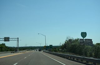
 Interstate 94
394 photos
 Interstate 115
22 photos
 Interstate 315
21 photos
U.S. Highways
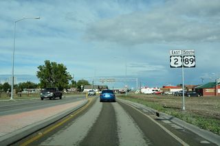
 U.S. 2
81 photos
 Historic U.S. 10
16 photos
 U.S. 12
100 photos
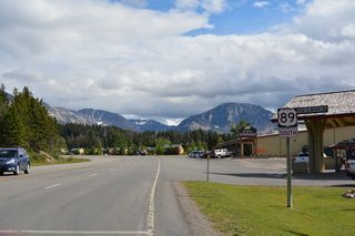
 U.S. 89
42 photos
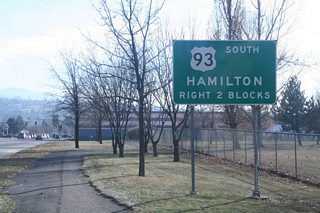
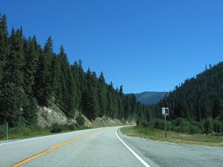
 U.S. 93
25 photos
State Highways
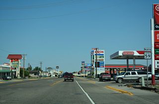
 Highway 59
20 photos
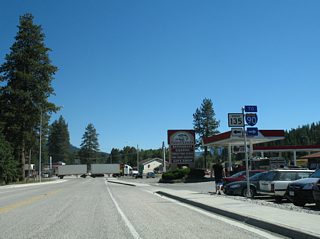
 Highway 135
10 photos
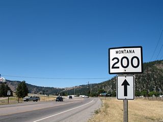
 Highway 200
8 photos
Secondary State Highways
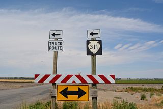
 Secondary Highway 311
21 photos
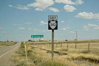
 Secondary Highway 343
8 photos
Other Roads
7 photos
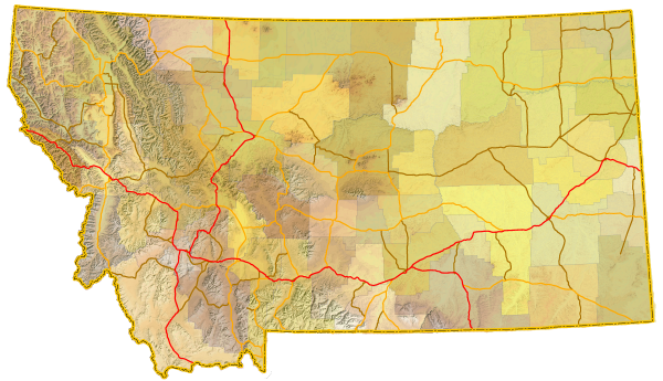
Photo Coverage of Roads and Highways in Montana
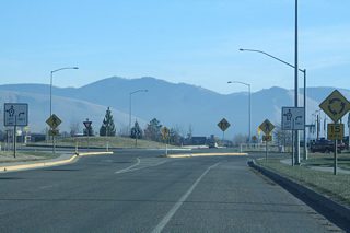
AARoads documents highways and roads across Montana with route-by-route photo guides organized by direction of travel. Coverage includes Interstate Highways, U.S. Routes, Montana State Highways, and select named streets and roads.
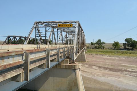
Photo guides focus on highway signage, interchanges, route markers, city limit signs, county lines, and notable points of interest along each route. Coverage includes scenic mountainous routes and wide open freeways across sparsely populated areas, with photo guides emphasizing freeway exits, route junction signage and reassurance markers.
New and updated photos for Montana routes are added periodically and cataloged on the updates page.
Photographic Contributors
Photography by Alex Nitzman, Andy Field, Billy Fortner, Brent Ivy and Chris Kalina.
About Montana
- Capital:
 Helena
 - Nickname: Treasure State or Big Sky Country
- State Flower: Bitterroot
- State Bird: Western Meadowlark
- State Animal: Grizzly Bear
- Total Interstate Mileage: 1,191.23
- Land Area: 145,545.80 square miles
- Highest Point: Granite Peak - 12,799 feet
- Lowest Point: Kootenai River at the Idaho state line, northwest of Troy - 1,820 feet
- Number of Counties: 56
- Statehood: 41st state; admitted November 8, 1889
Last updated: Sunday February 8, 2026