
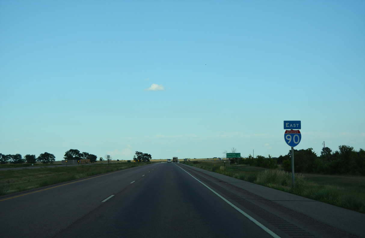
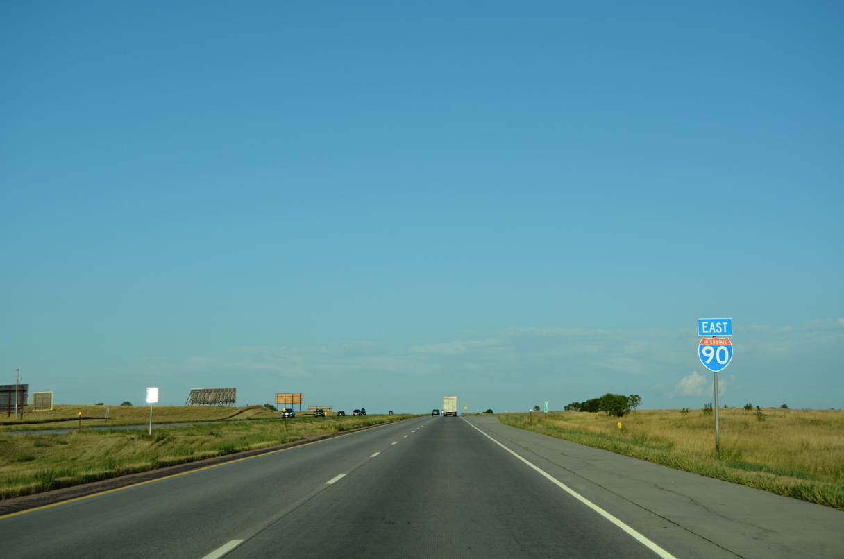
Interstate 90 East - Kimball to Mitchell

 East
East
08/12/16
08/12/16
08/12/16
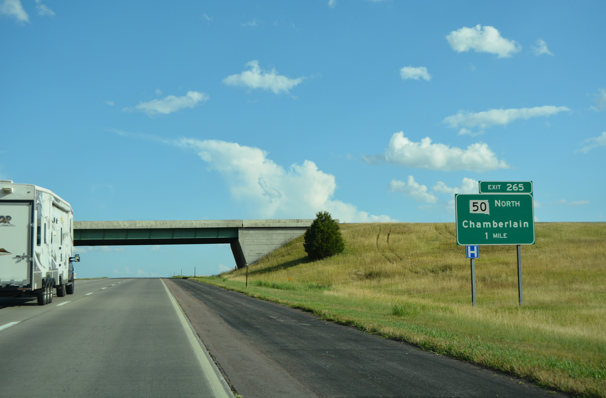
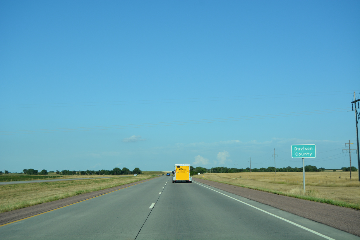
SD 50 travels 23.50 miles north from the diamond interchange (Exit 265) with E King Street) in Chamberlain to SD 34 at Lees Corner.
08/12/16
08/12/16
08/12/16
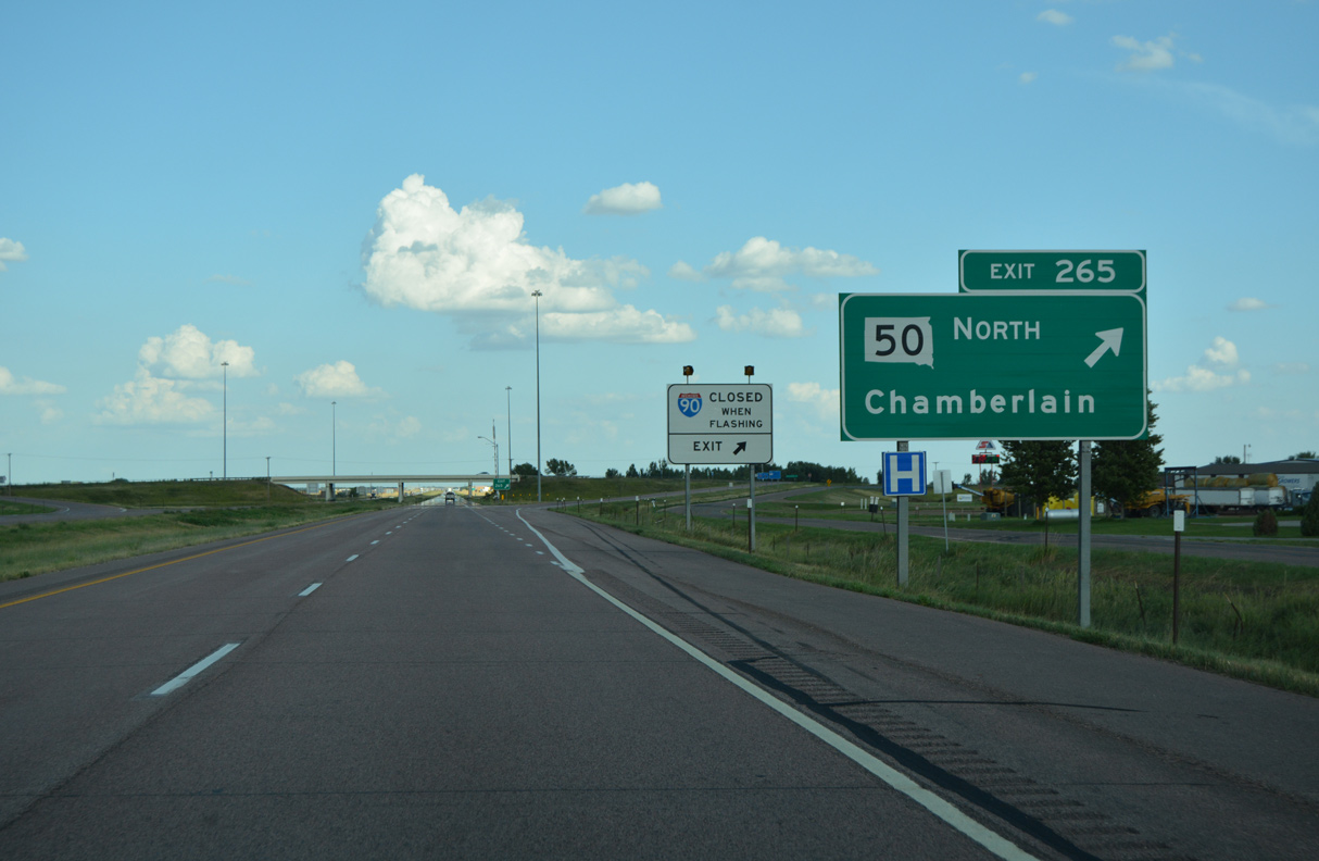
Business Loop I-90 accompanies SD 50 (E King Street) north 3.3 miles to Main Street in Downtown Chamberlain. King Street continues south from Exit 265 to Chamberlain Municipal Airport (9V9).
08/12/16
08/12/16
 East
East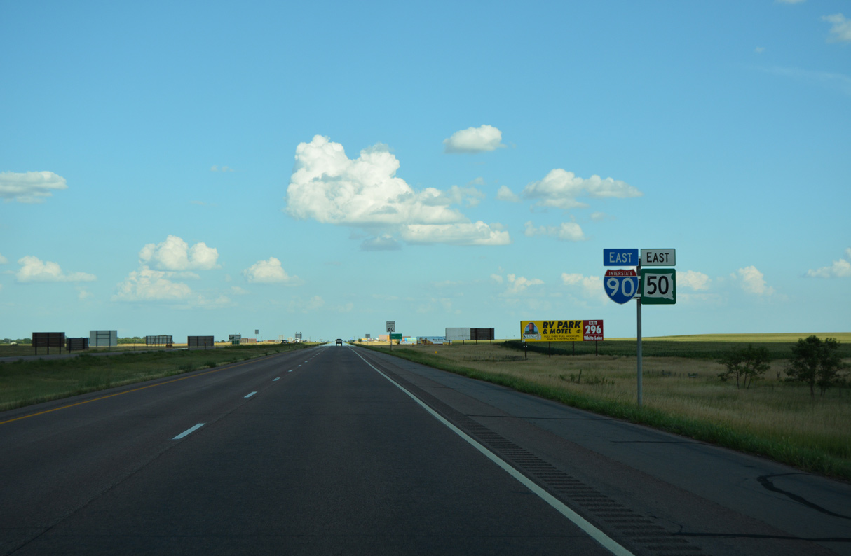
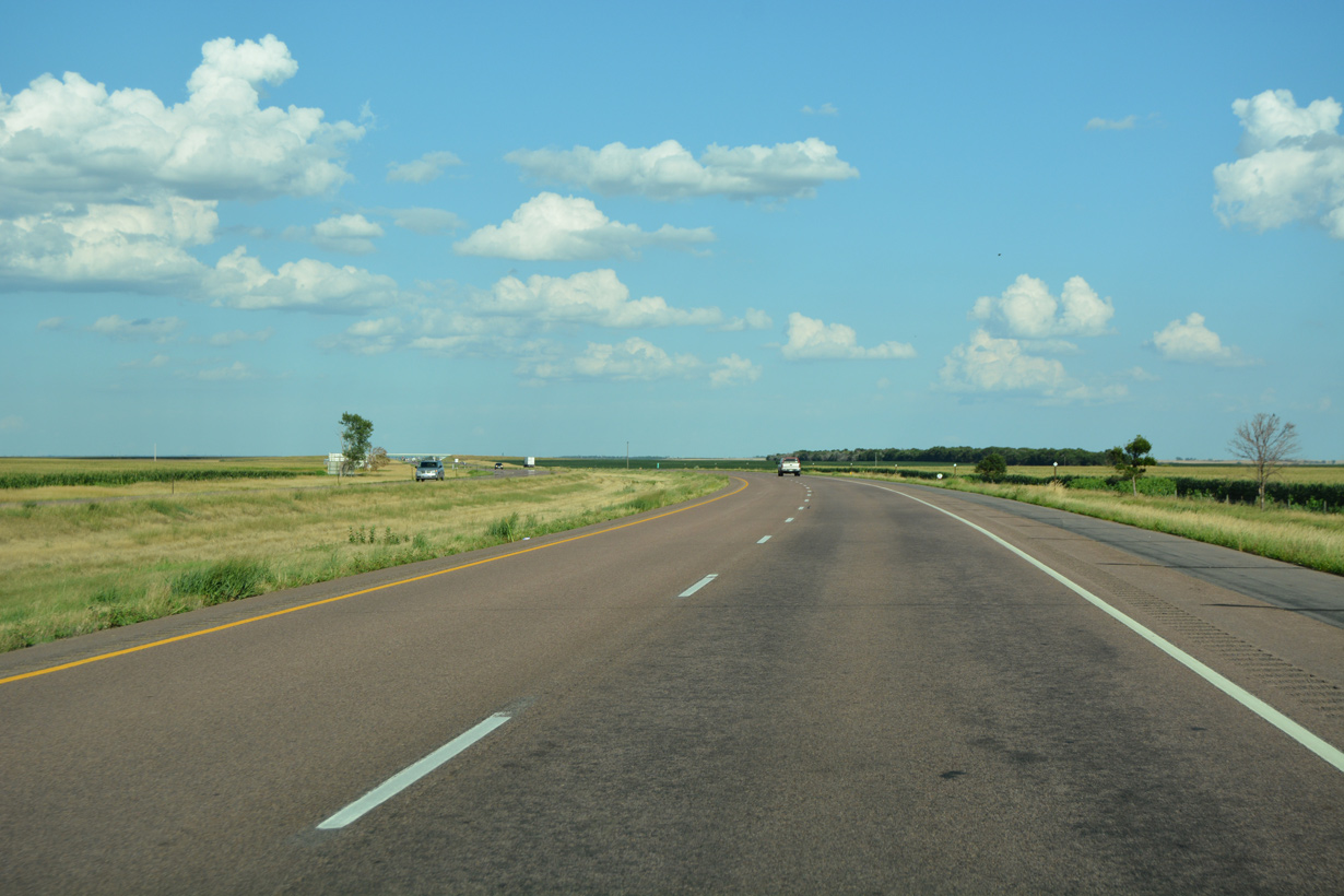
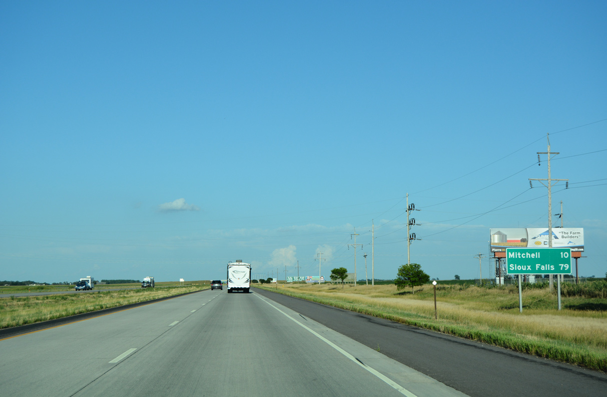
SD 50 overlaps with Interstate 90 east 6.8 miles to the succeeding exit.
08/12/16
08/12/16
08/12/16
08/12/16
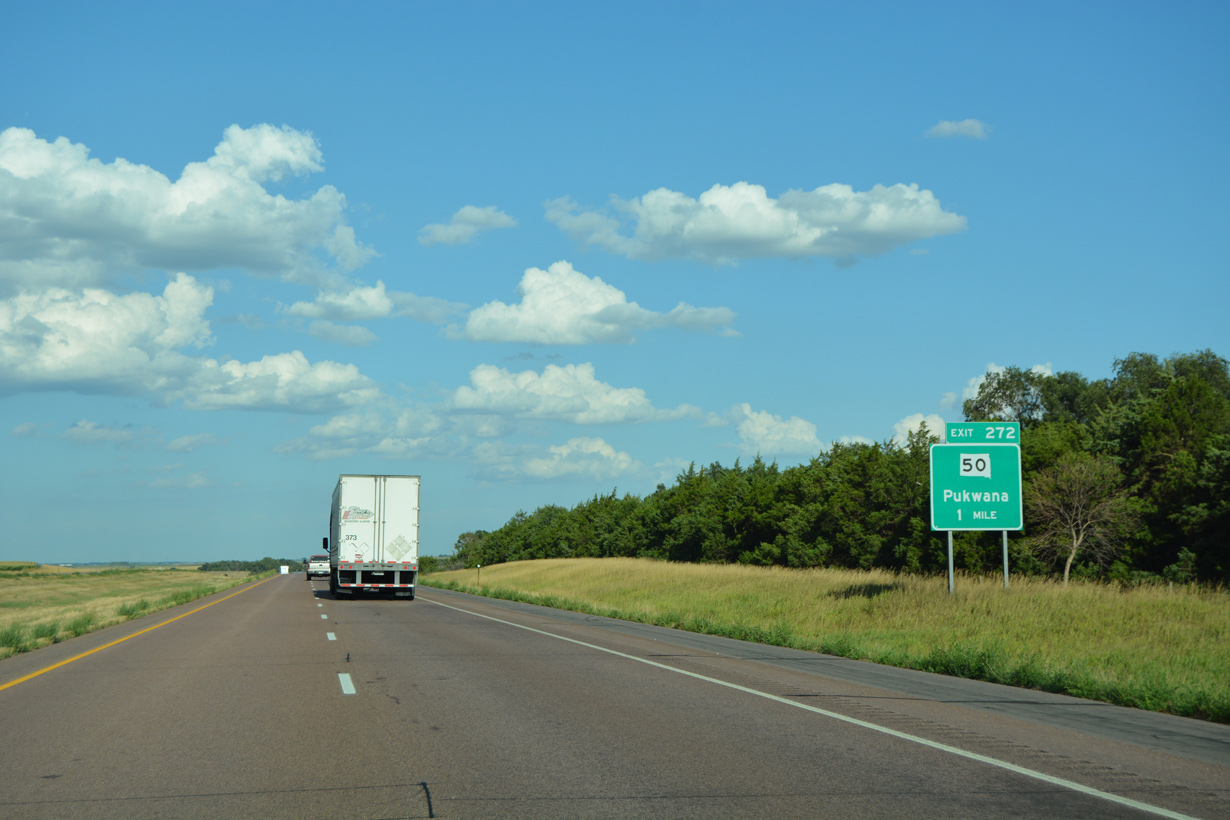
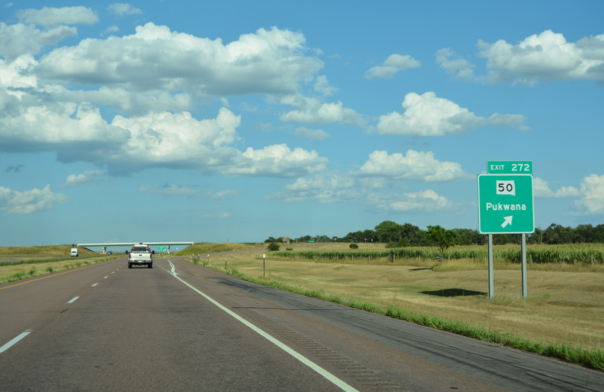
SD 50 branches south from Interstate 90 at the diamond interchange (Exit 272) with 350th Avenue to the town of Pukwana.
08/12/16
08/12/16
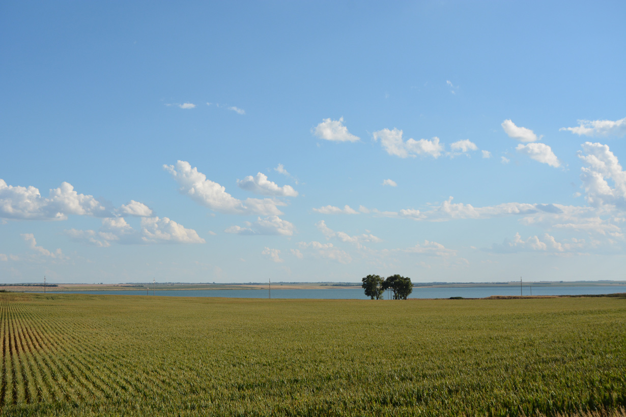
Red Lake spreads to the southwest of Interstate 90 and SD 50.
08/12/16
08/12/16
SD 50 navigates along a stair stepped route 31.78 miles south from Interstate 90 to SD 44 en route to Platte.
08/12/16
08/12/16
East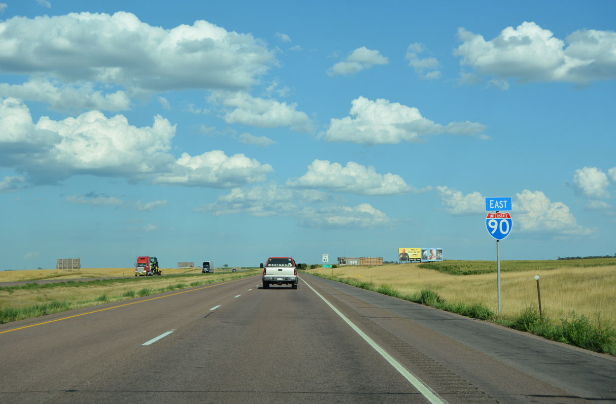
08/12/16

08/12/16
251st Street (old U.S. 16) parallels Interstate 90 a half mile to the south over the ensuing stretch eastbound.
08/12/16
08/12/16
08/12/16
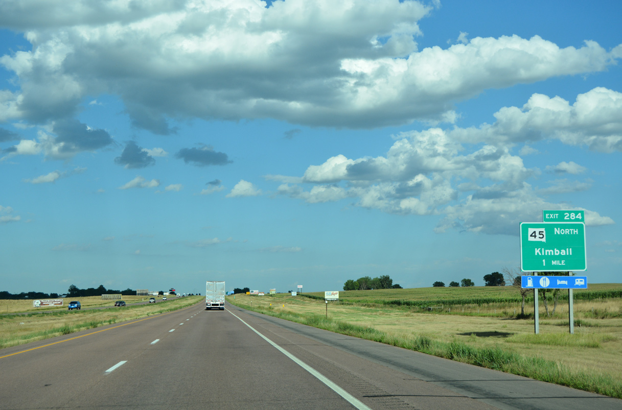
SD 45 converges with Interstate 90 at a diamond interchange (Exit 284) with Main Street in the city of Kimball.
08/12/16
08/12/16
Initially following old U.S. 16 through Kimball, SD 45 runs 54.86 miles north to U.S. 14 at the Hand County seat of Miller.
08/12/16
08/12/16
East  South
South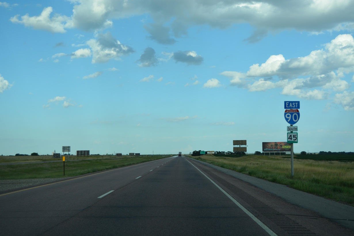
SD 45 accompanies Interstate 90 east for 5.2 miles from Kimball.
08/12/16
08/12/16
08/12/16
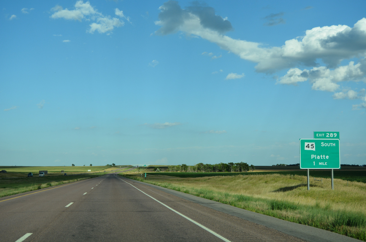
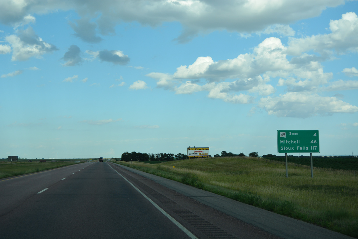
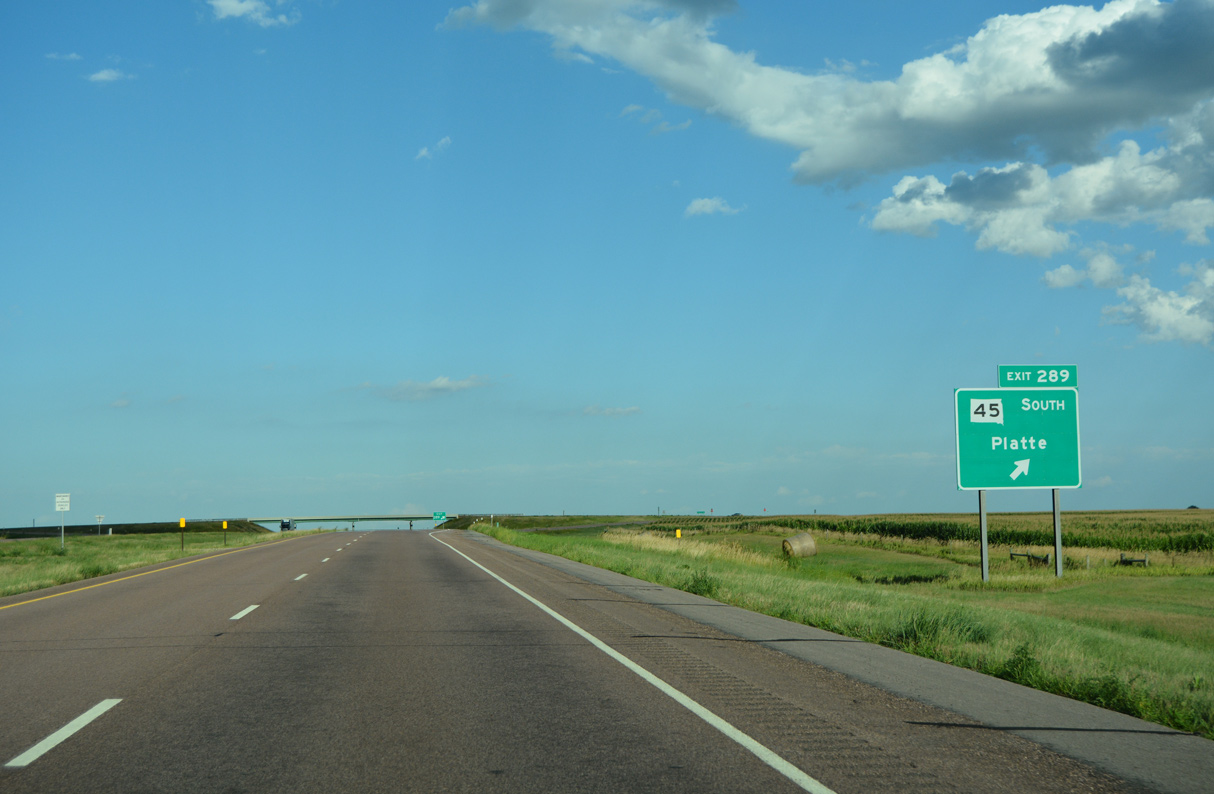
South from Exit 289, SD 45 concludes in 24.68 miles at SD 44/50 in the city of Platte in Charles Mix County.
08/12/16
08/12/16
08/12/16
East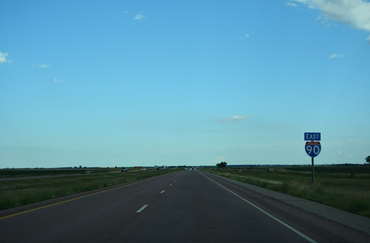
08/12/16
08/12/16
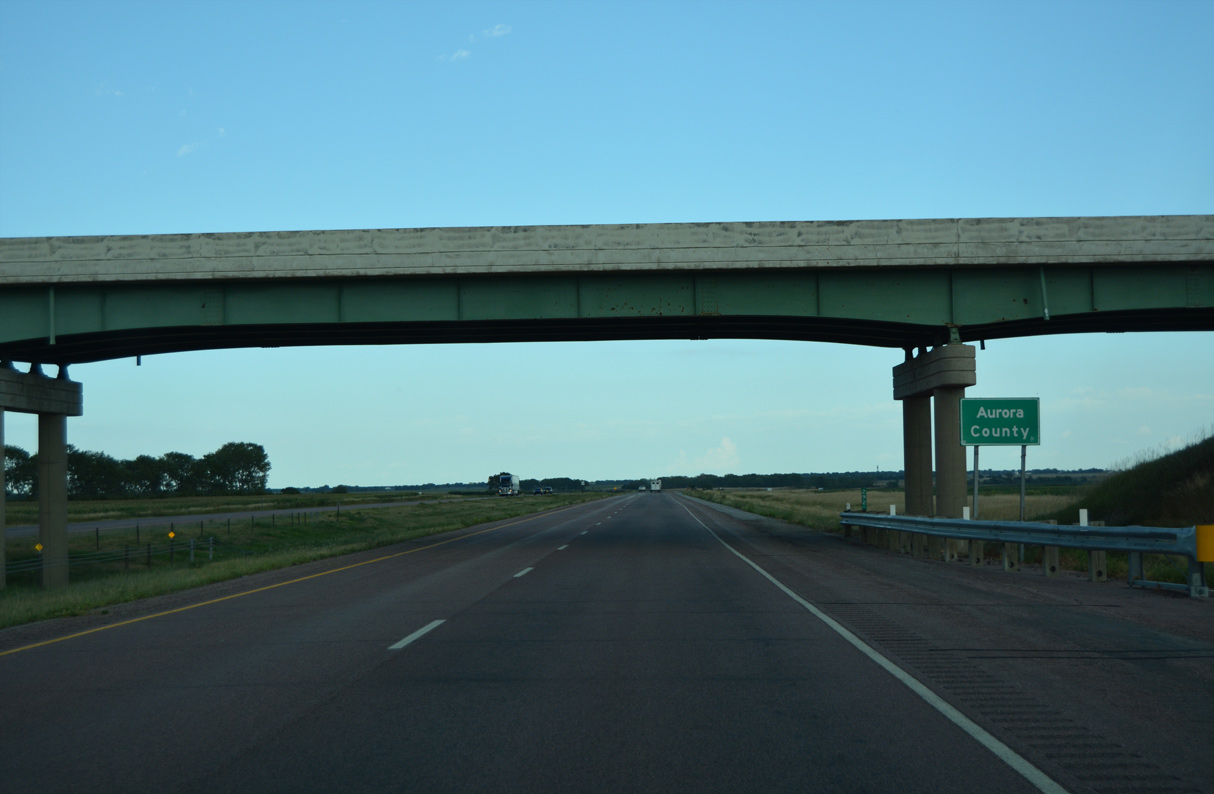
370th Avenue spans Interstate 90 east at the Aurora County line.
08/12/16
08/12/16
08/12/16
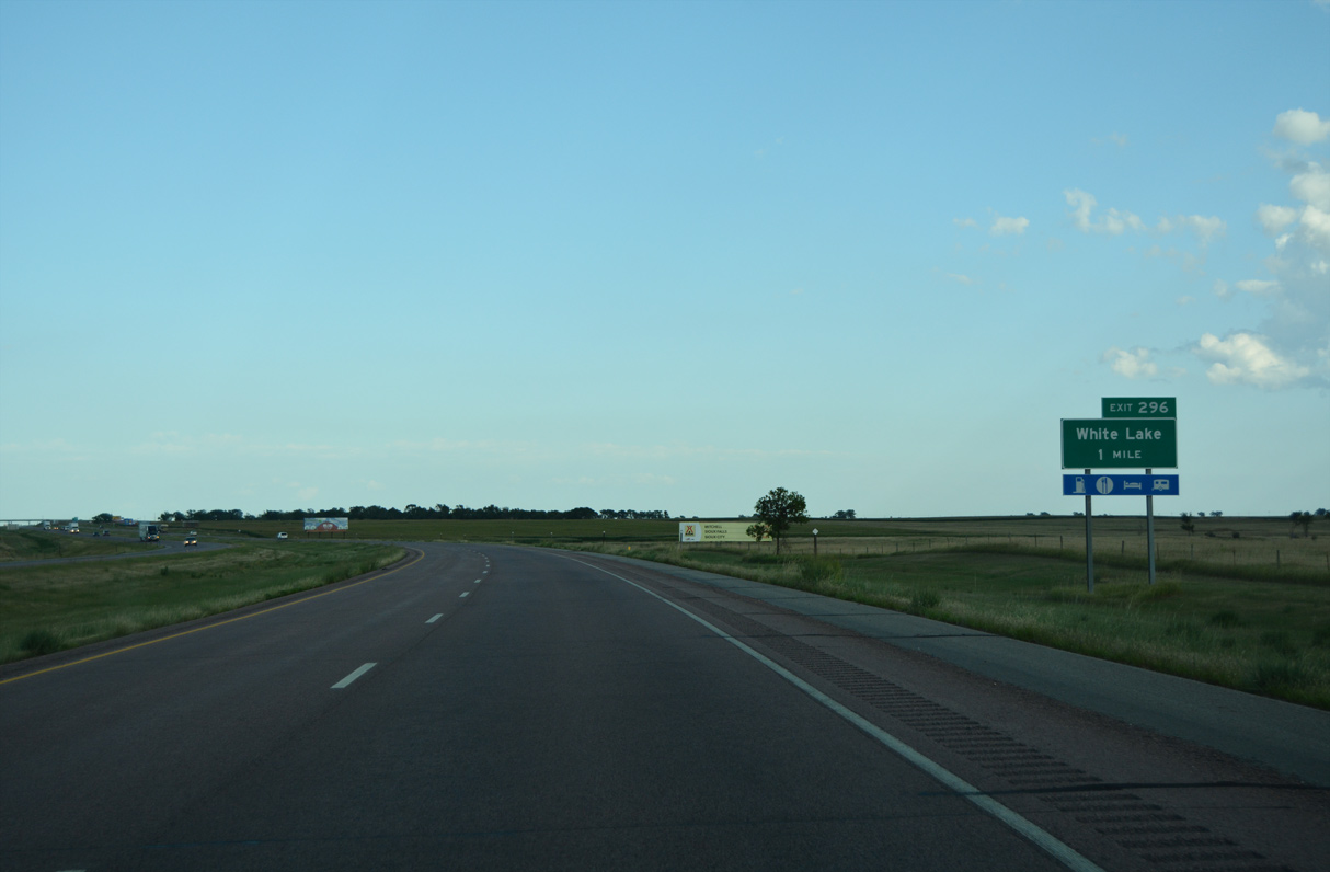
Interstate 90 shifts south of CR 34 (Old Highway 16) ahead of Exit 296 for the city of White Lake.
08/12/16
08/12/16
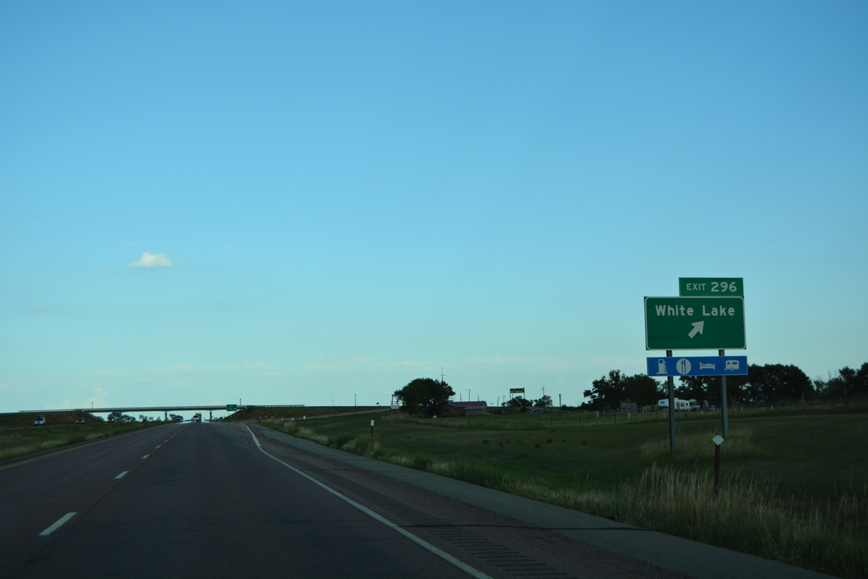
Inventoried as SD 90P, 347th Avenue / S Main Street 0.51 miles north from the diamond interchange at Exit 296 to CR 34 (Highway 16) is unsigned Business Spur I-90.
08/12/16
08/12/16
08/12/16
08/12/16

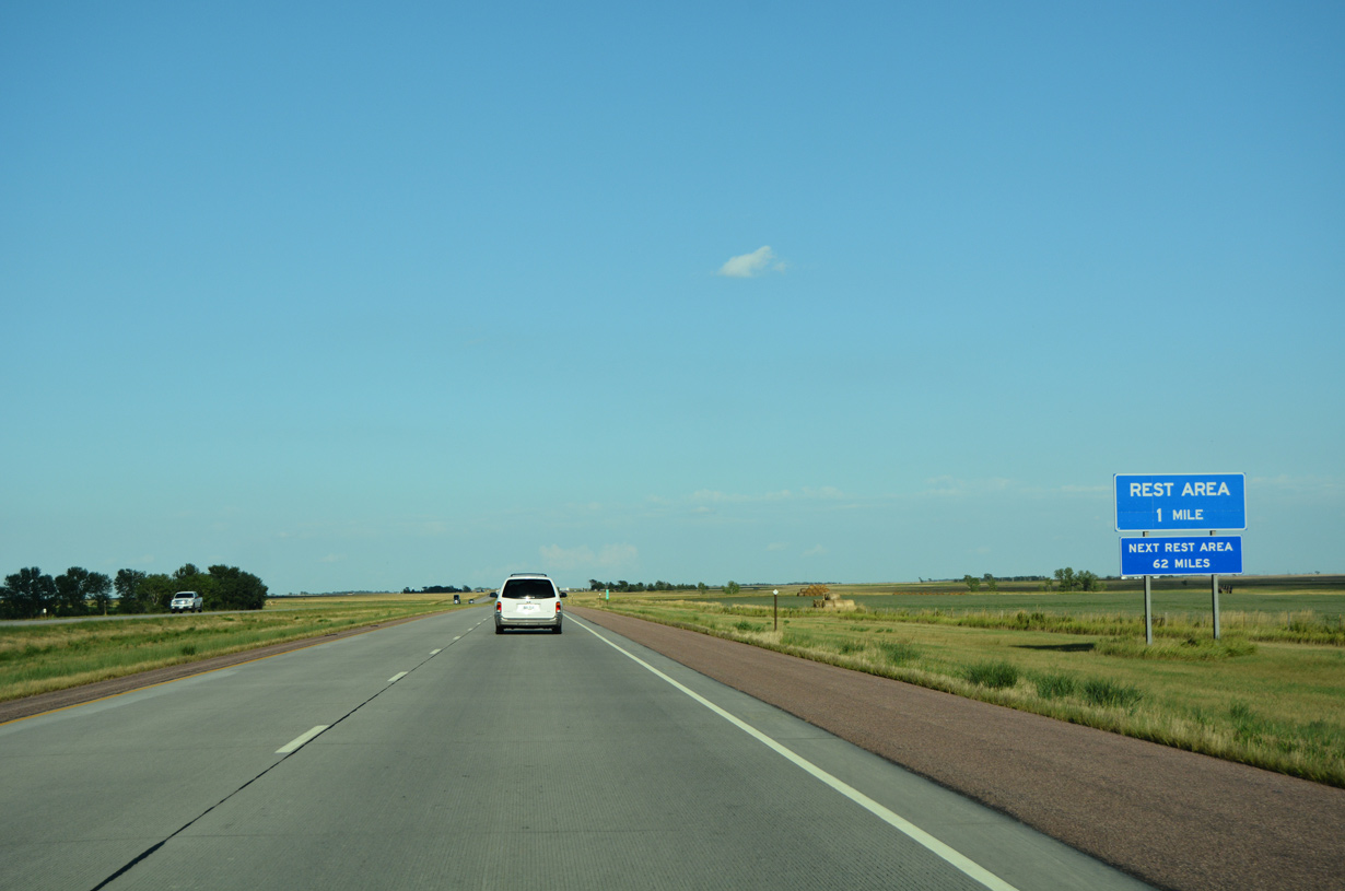
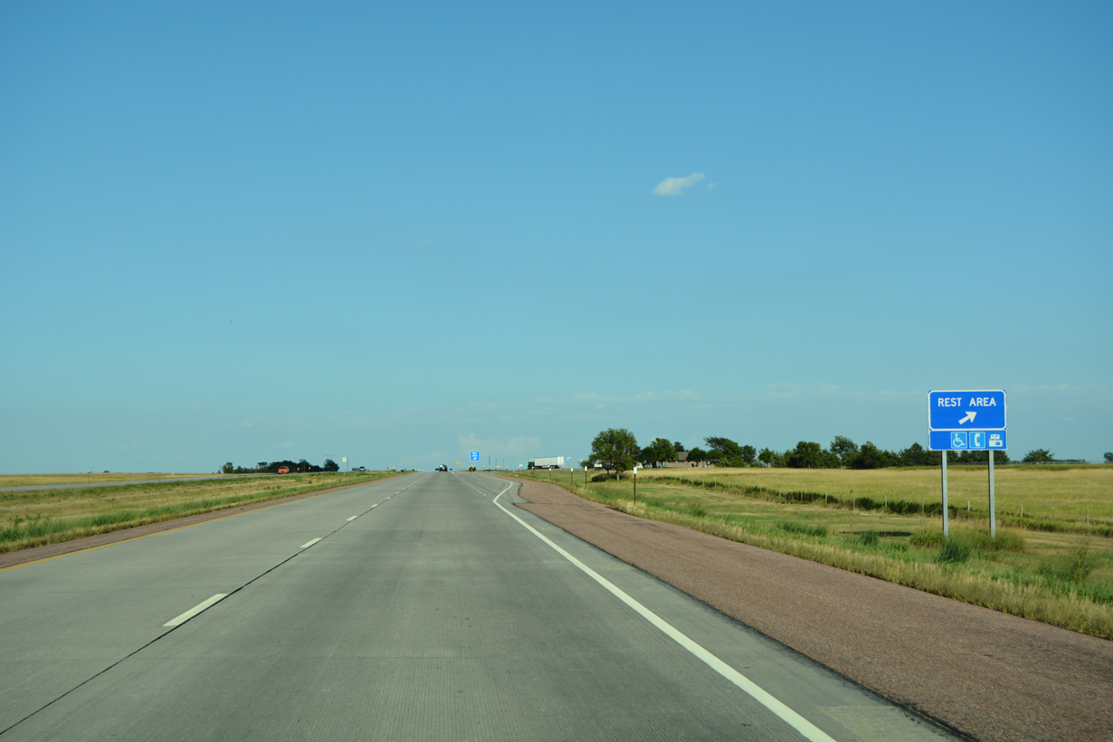
Located at mile marker 300, the White Lake Rest Area is the sixth facility along Interstate 90 eastbound in South Dakota.
08/12/16
08/12/16
08/12/16
08/12/16
08/12/16
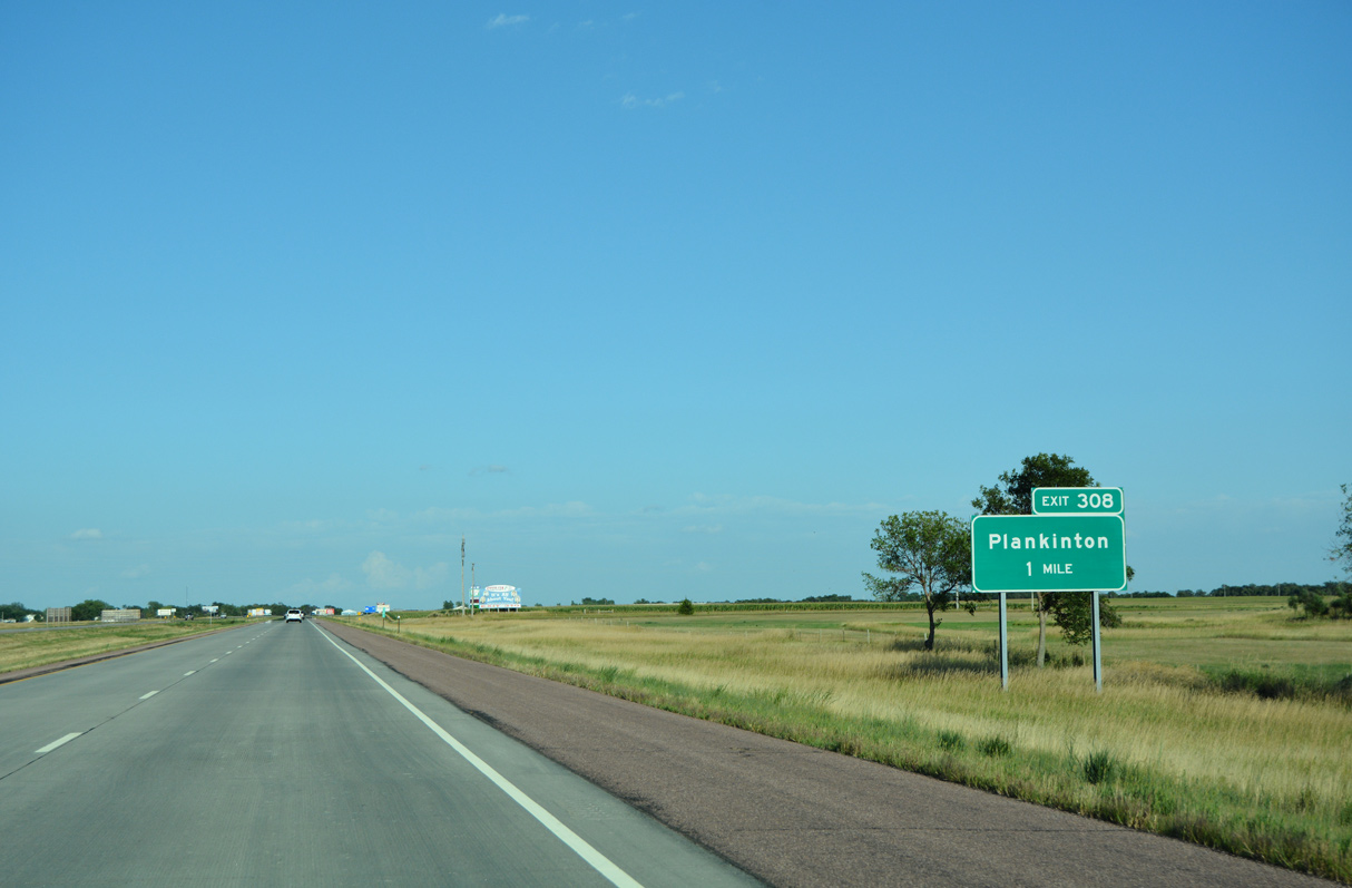
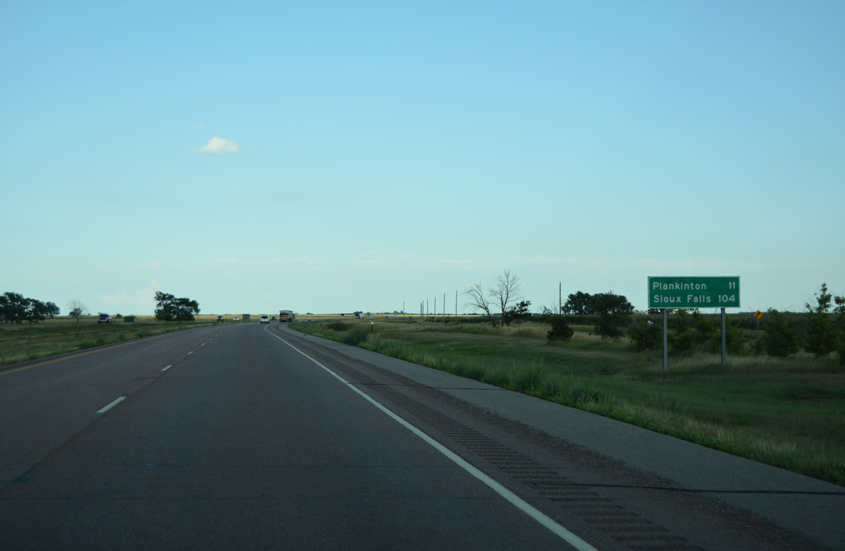
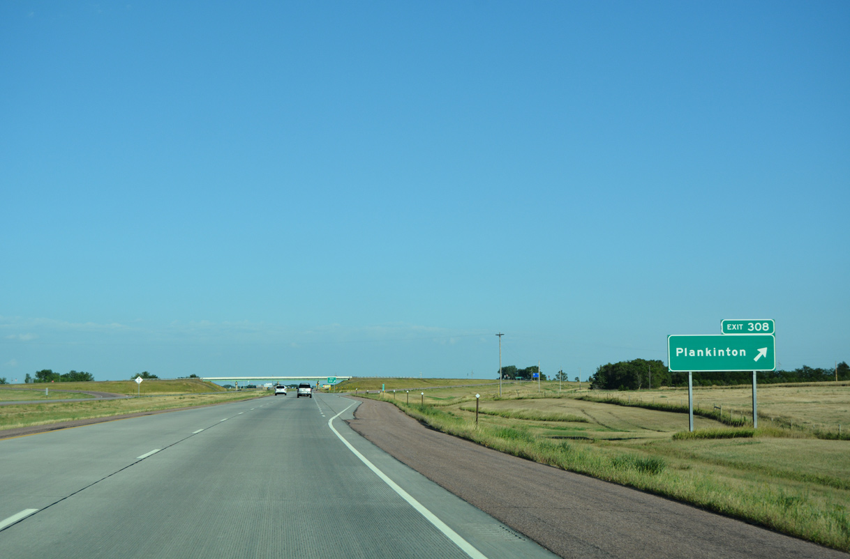
An unsigned route, SD 258 commences north along S Main Street into the Aurora County seat of Plankinton from Interstate 90 at Exit 308.
08/12/16
08/12/16
SD 258 loops 2.54 miles east from the diamond interchange at Exit 308 along Main Street, Davenport Street and Old Highway 16 to U.S. 281. This route was previously signed as Business Loop I-90.
08/12/16
08/12/16
08/12/16
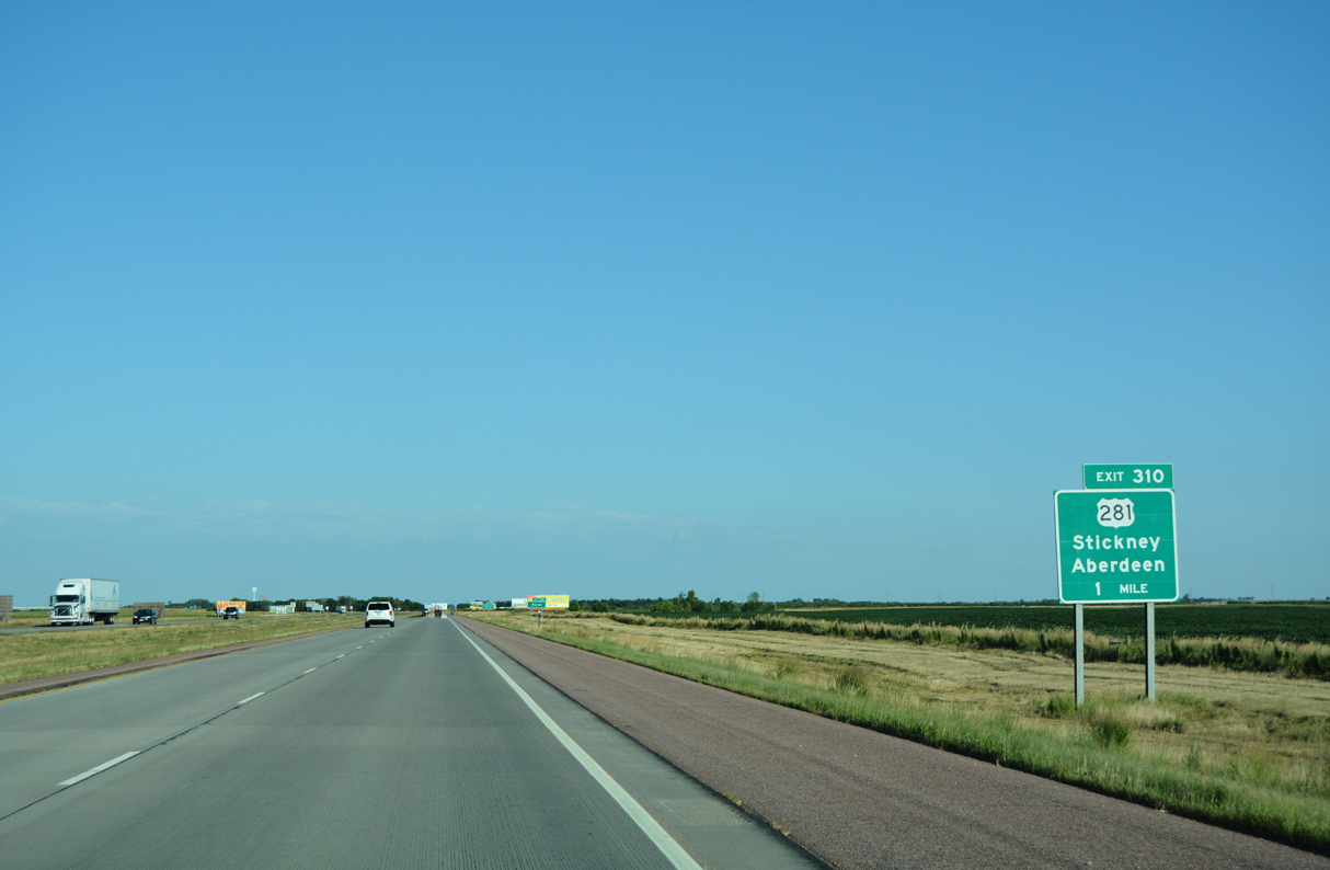
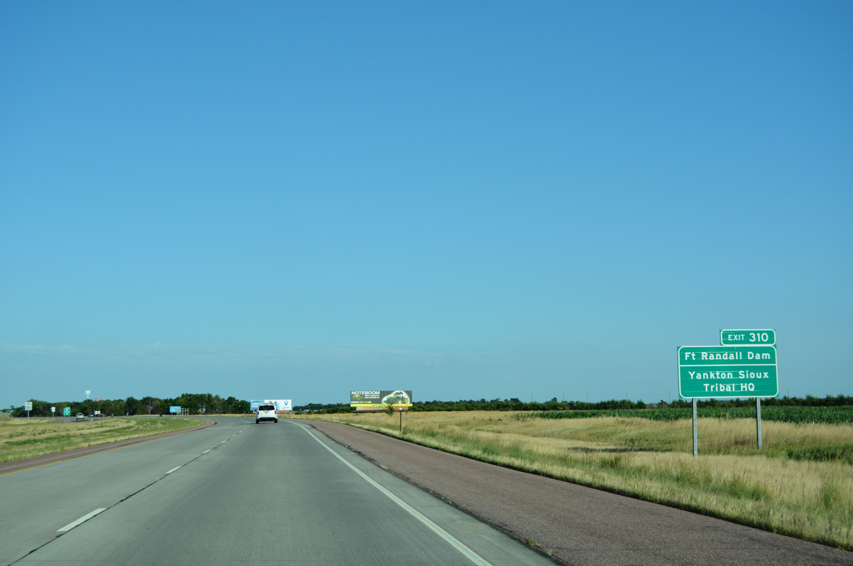
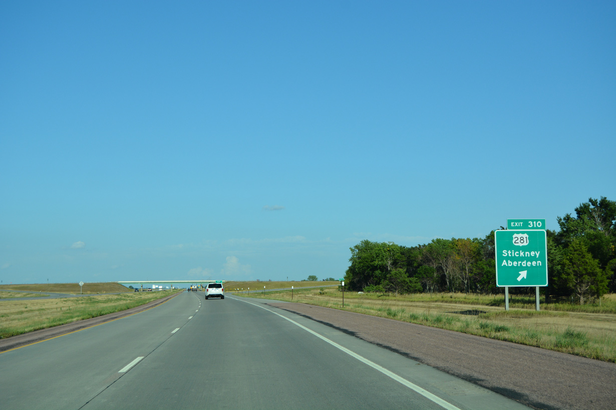
The diamond interchange at Exit 310 joins Interstate 90 with U.S. 281 seven miles north of the town of Stickney.
08/12/16
08/12/16
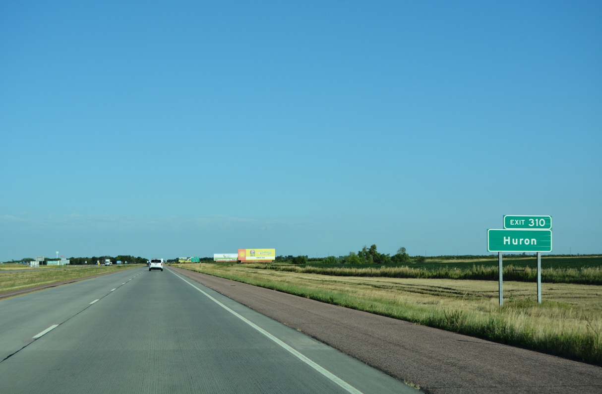
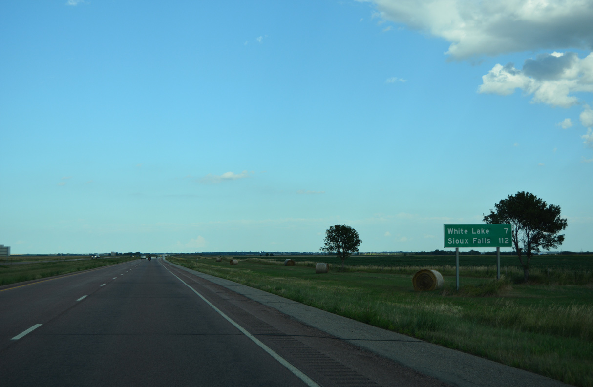
The Beadle County seat of Huron lies 57 miles to the north via U.S. 281 and U.S. 14.
08/12/16
08/12/16
08/12/16
08/12/16
08/12/16
08/12/16
08/12/16
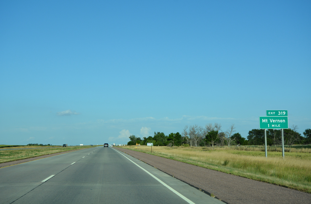
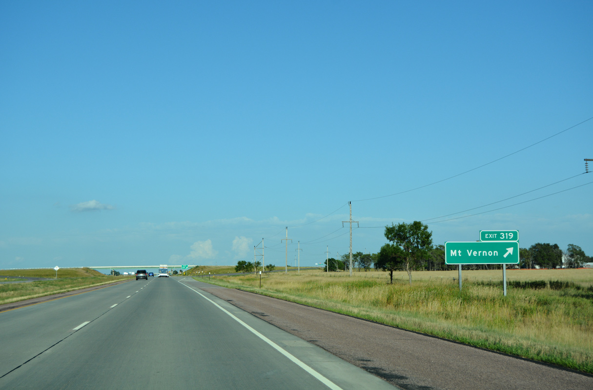
397th Avenue connects Interstate 90 with Old Highway 16 and Earl Street at the city of Mount Vernon.
08/12/16
08/12/16
08/12/16
08/12/16
08/12/16
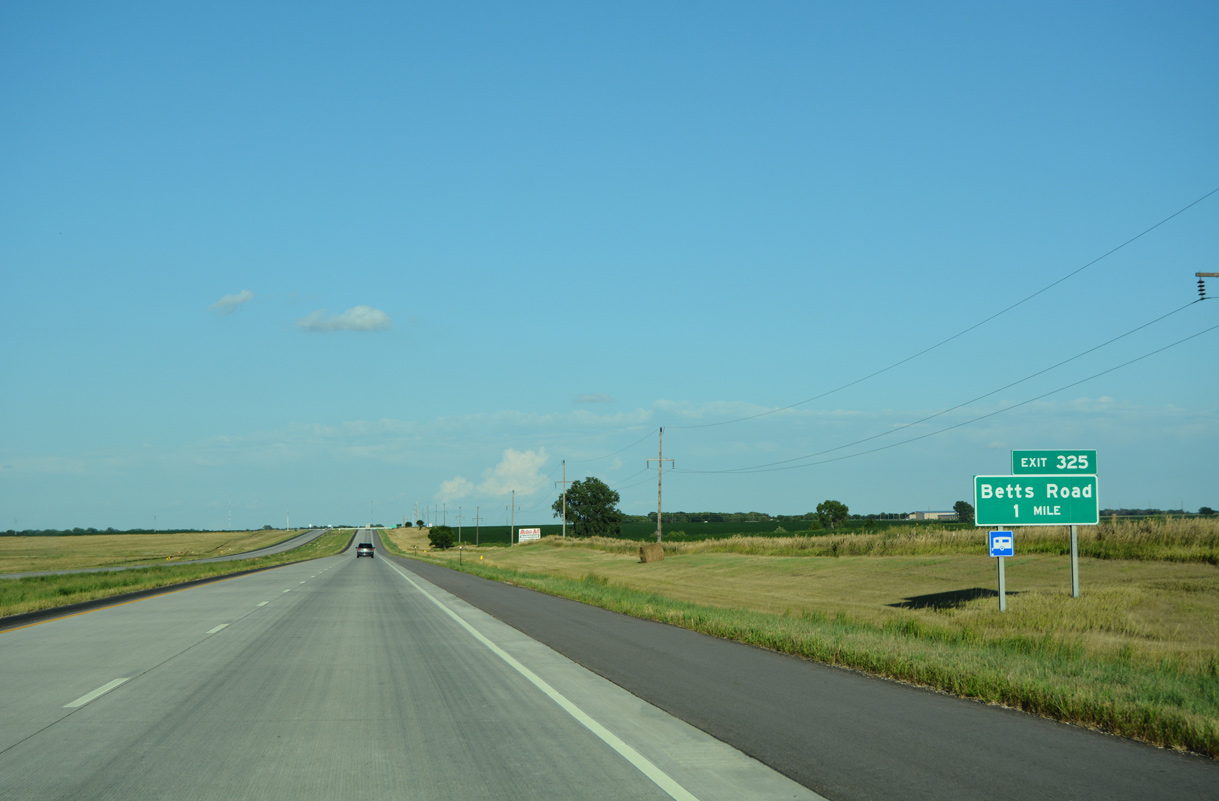
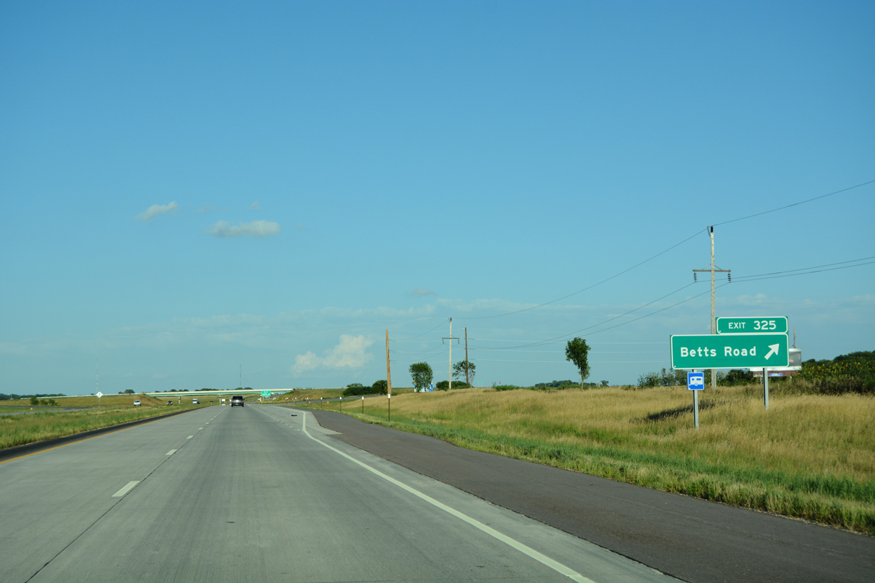
403rd Avenue / Betts Road meets Interstate 90 at a diamond interchange (Exit 325) south of the Dakota Southern Railroad siding of Betts.
08/12/16
08/12/16
08/12/16

08/12/16

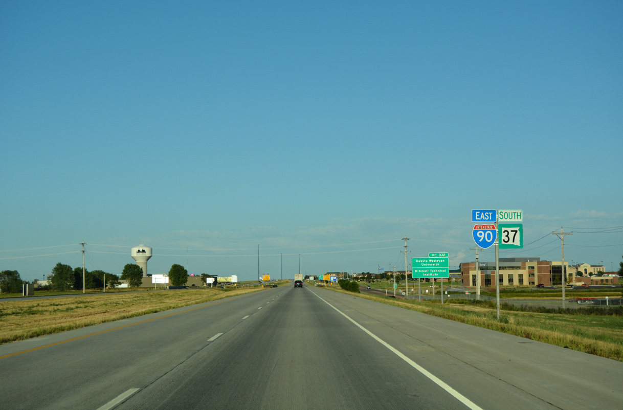
Business Loop I-90 east and SD 37 north line Ohlman Street north from the first of two exits for the city of Mitchell.
08/12/16
08/12/16
08/12/16
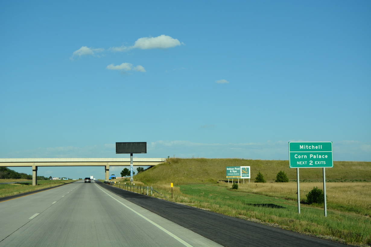
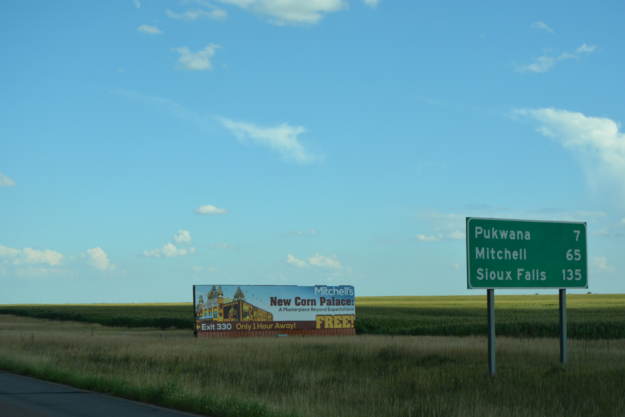
Mitchell is known for The World's Only Corn Palace tourist site and arena located at the north end of Downtown.
08/12/16
08/12/16
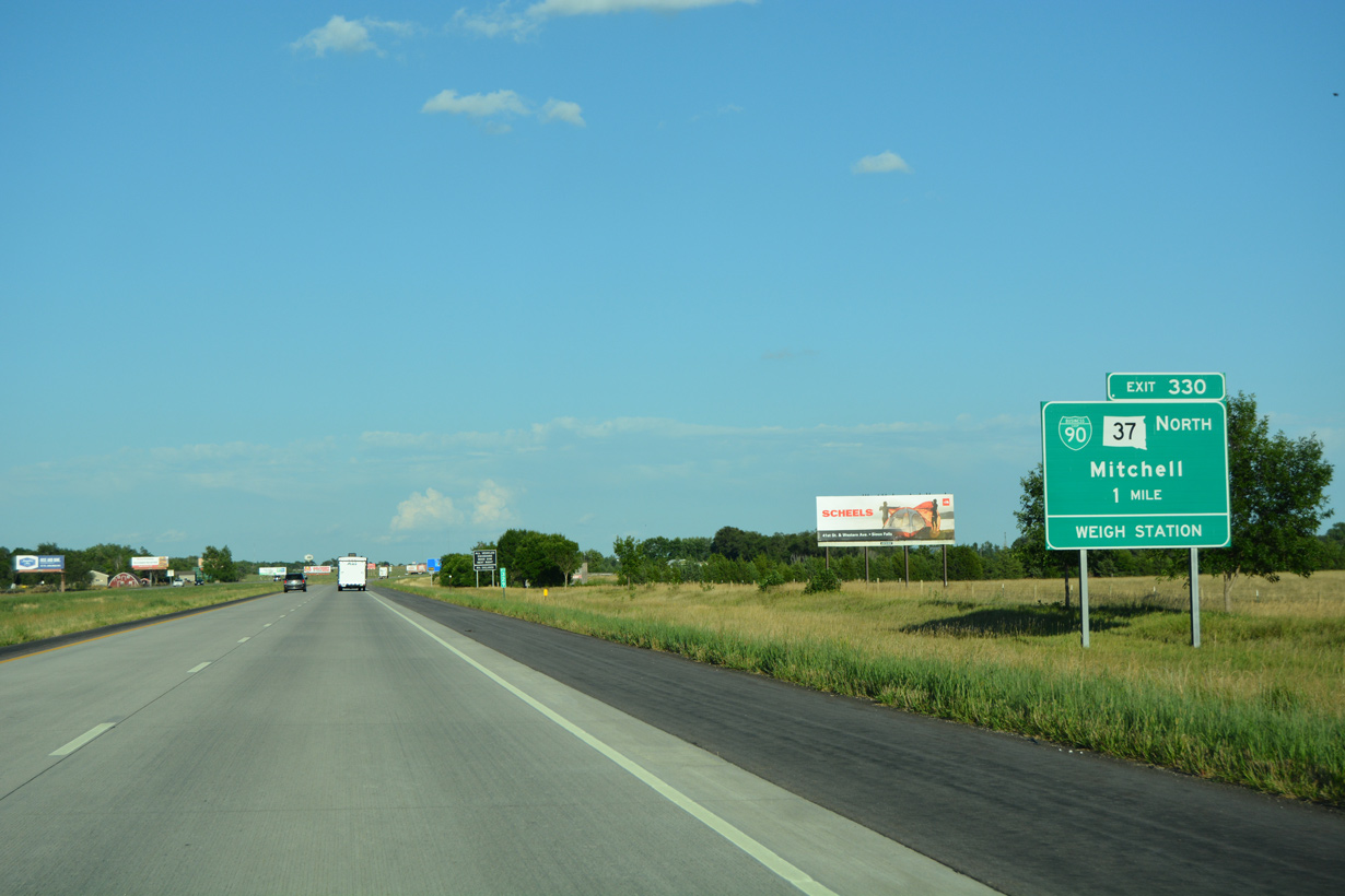
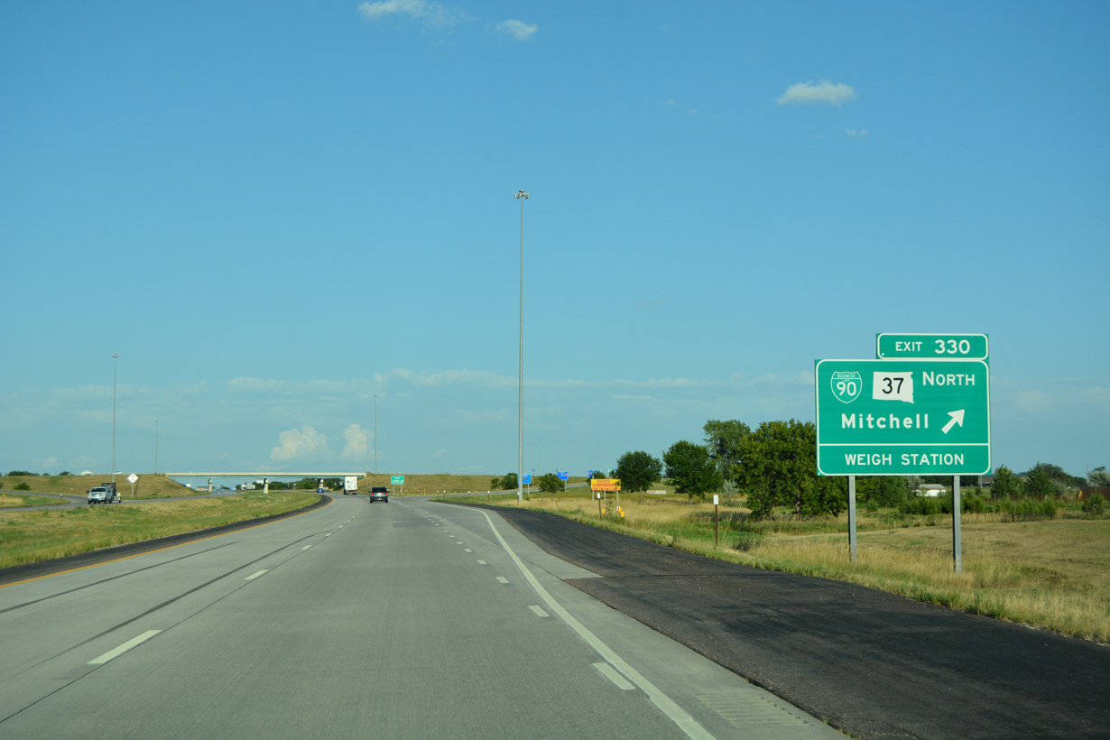
2.9 miles in length, Business Loop I-90 through Mitchell is state maintained along SD 37 (Ohlman Street) north Havens Avenue (SD 90L) east and Burr Street south to I-90 at Exit 332.
08/12/16
08/12/16
08/12/16
East  South
South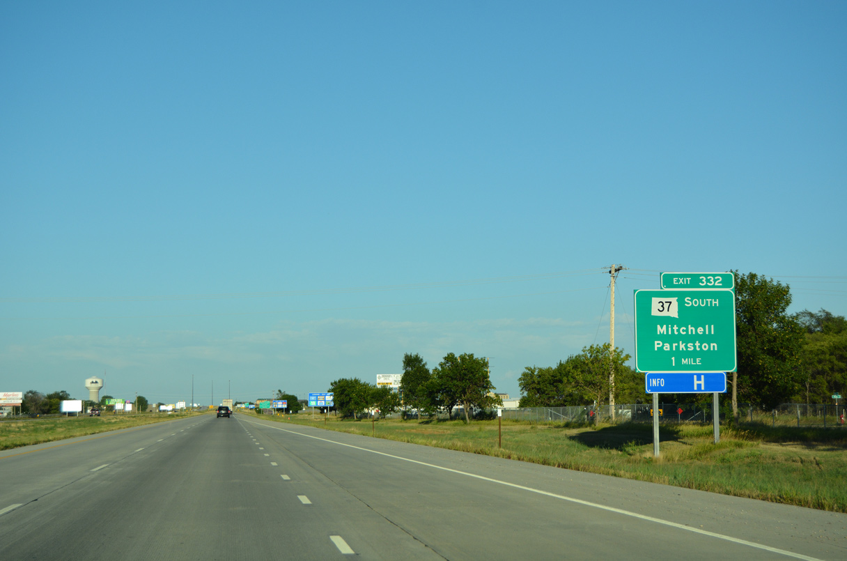
The city of Parkiston is 20.4 miles south of the diamond interchange (Exit 332) with Business Loop I-90 (S Burr Street) along SD 37.
08/12/16
08/12/16
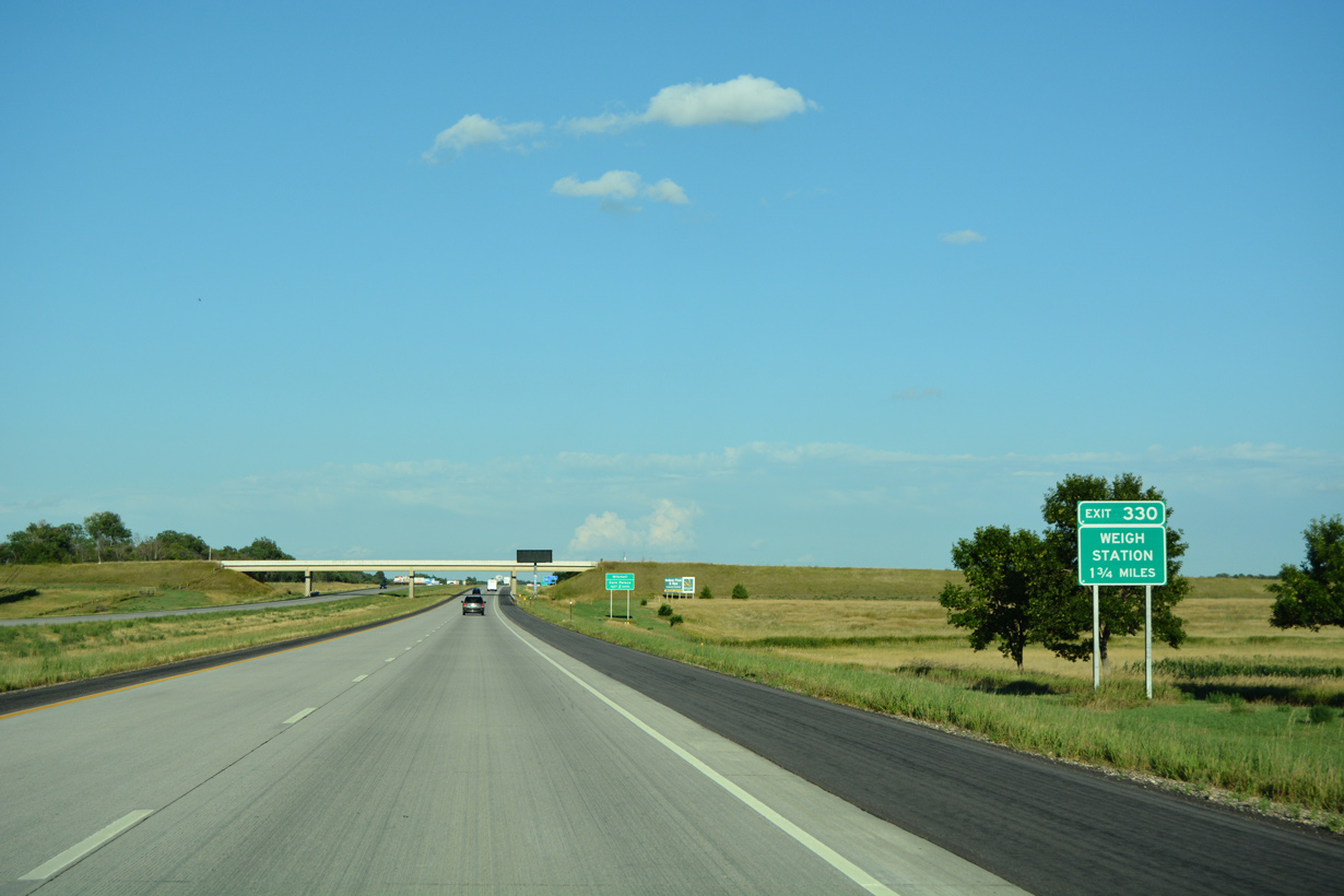
SD 37 southbound overlaps with Interstate 90 east for 1.7 miles between Exit 330 and 332.
08/12/16
08/12/16
08/12/16

Continuing south from Business Loop I-90 (S Burr Street) and Mitchell, SD 37 heads 48.59 miles to SD 50 west of Tyndall.
08/12/16
08/12/16
East
Interstate 90 spans a BNSF Railroad line east beyond SD 37 (410th Avenue) and this confirming marker.
08/12/16
08/12/16
08/12/16
08/12/16
08/12/16
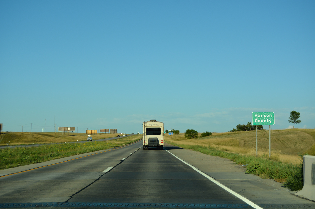
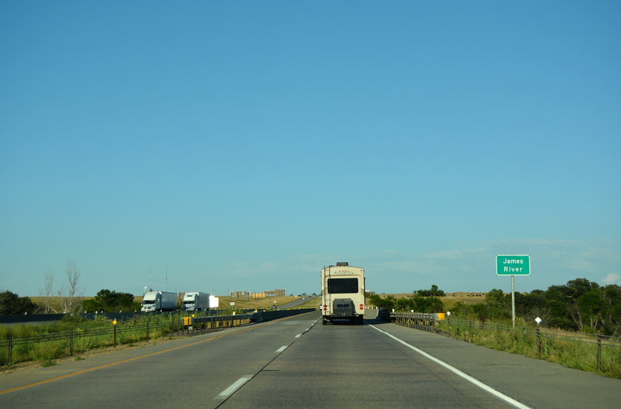
Interstate 90 enters Hanson County east after the James River and a BNSF Railroad underpass.
08/12/16
08/12/16
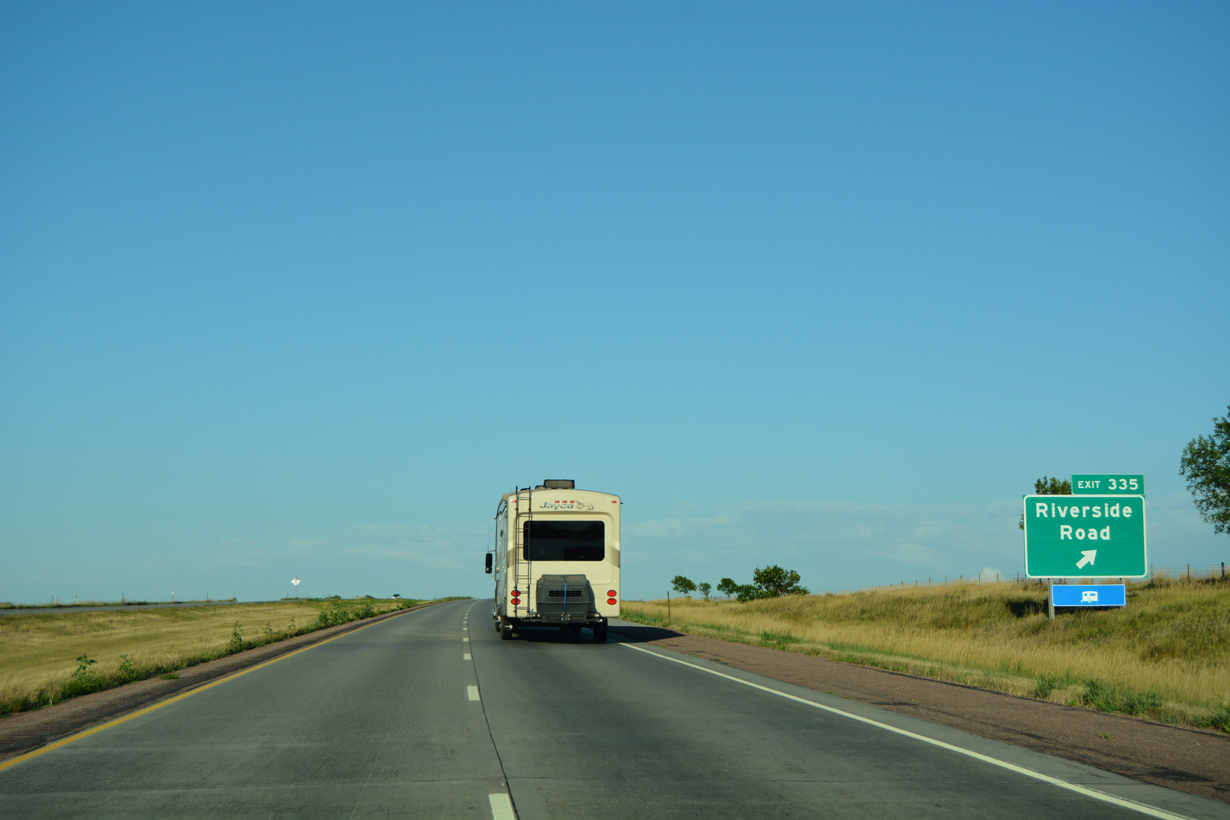
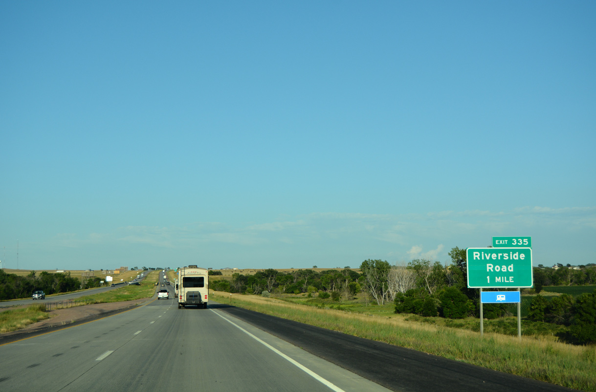
413th Street (SD 38P) is a 0.58 mile long spur linking the diamond interchange at Exit 335 / Riverside Road with parallel SD 38 (old U.S. 16).
08/12/16
08/12/16
08/12/16
08/12/16
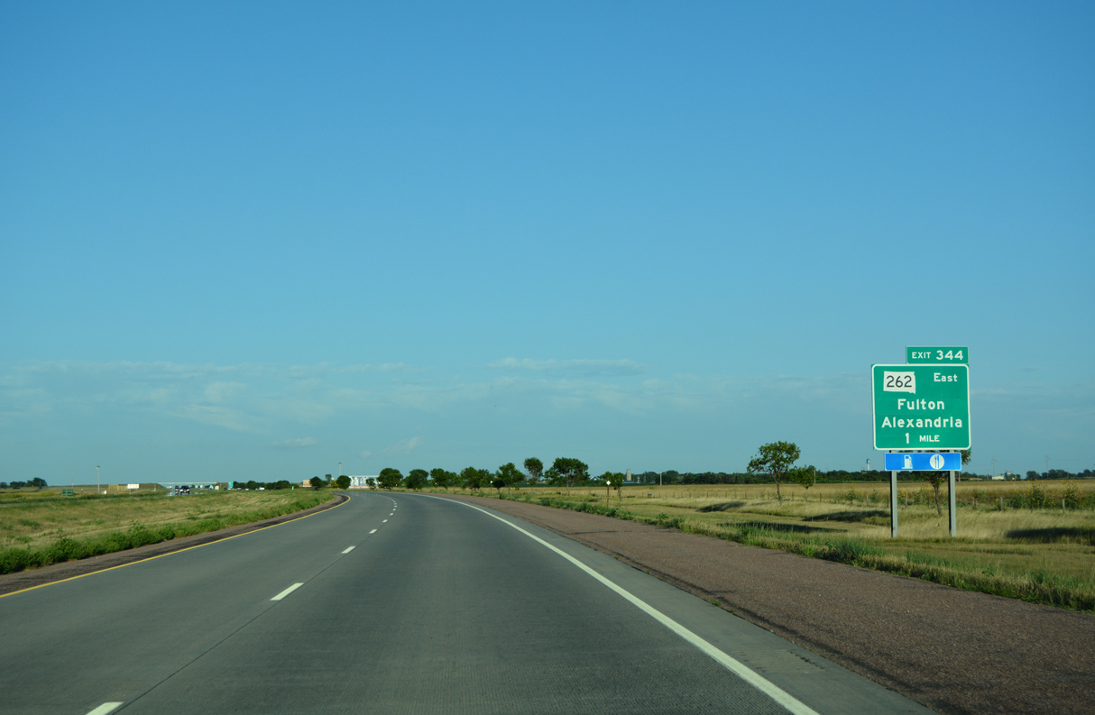
Angling southeast alongside the BNSF Railroad, Interstate 90 advances to Exit 344 for SD 262 (Spruce Street) and the city of Alexandria.
08/12/16
08/12/16
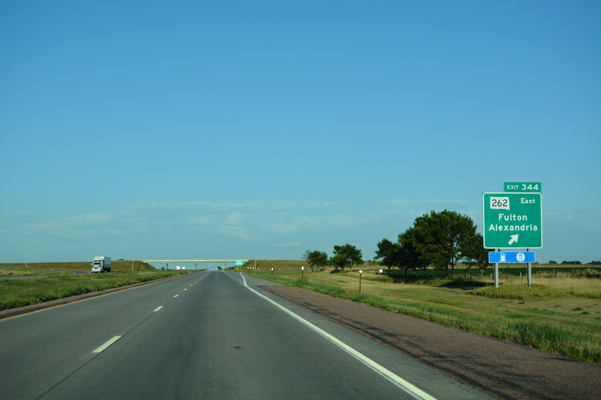
SD 262 lines old U.S. 16 southeast from the diamond interchange at Exit 344 to SD 42 at Bridgewater. U.S. 16 historically followed 421st Avenue north from Exit 44 to SD 38 west near Fulton.
08/12/16
08/12/16
08/12/16
08/12/16
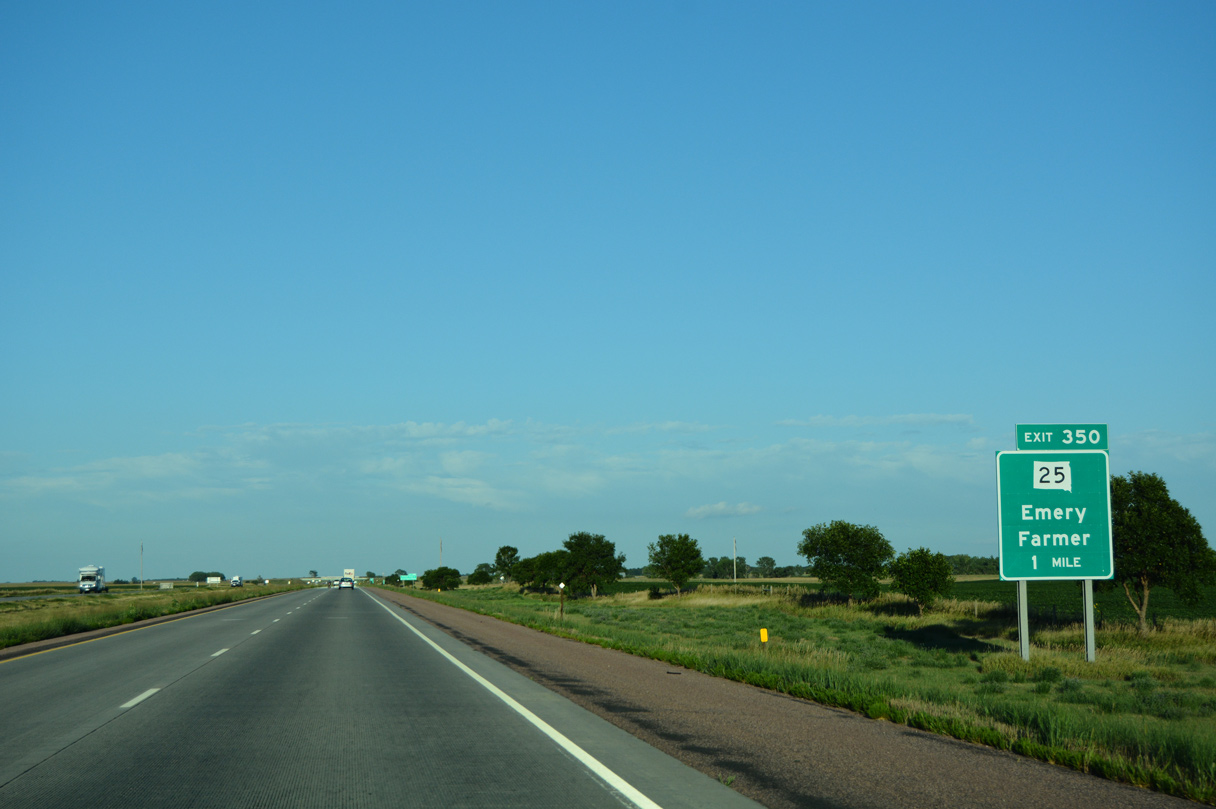
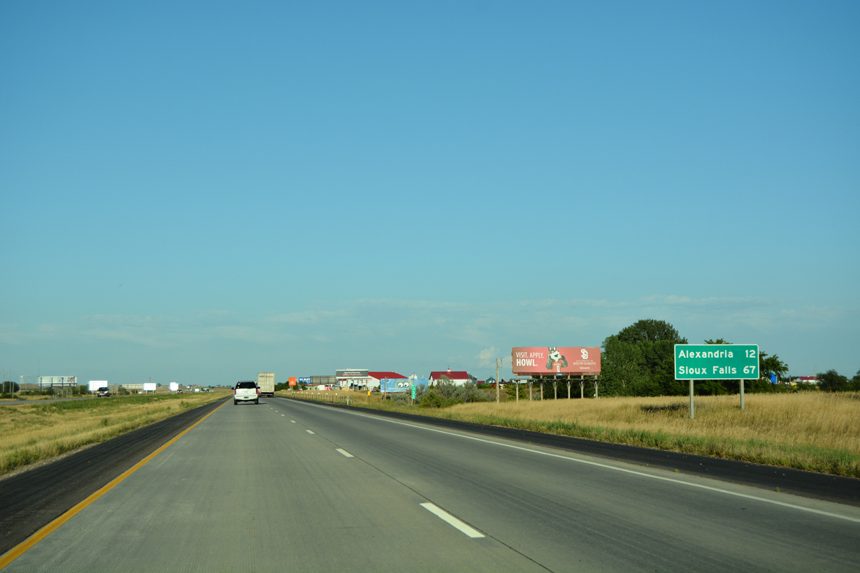
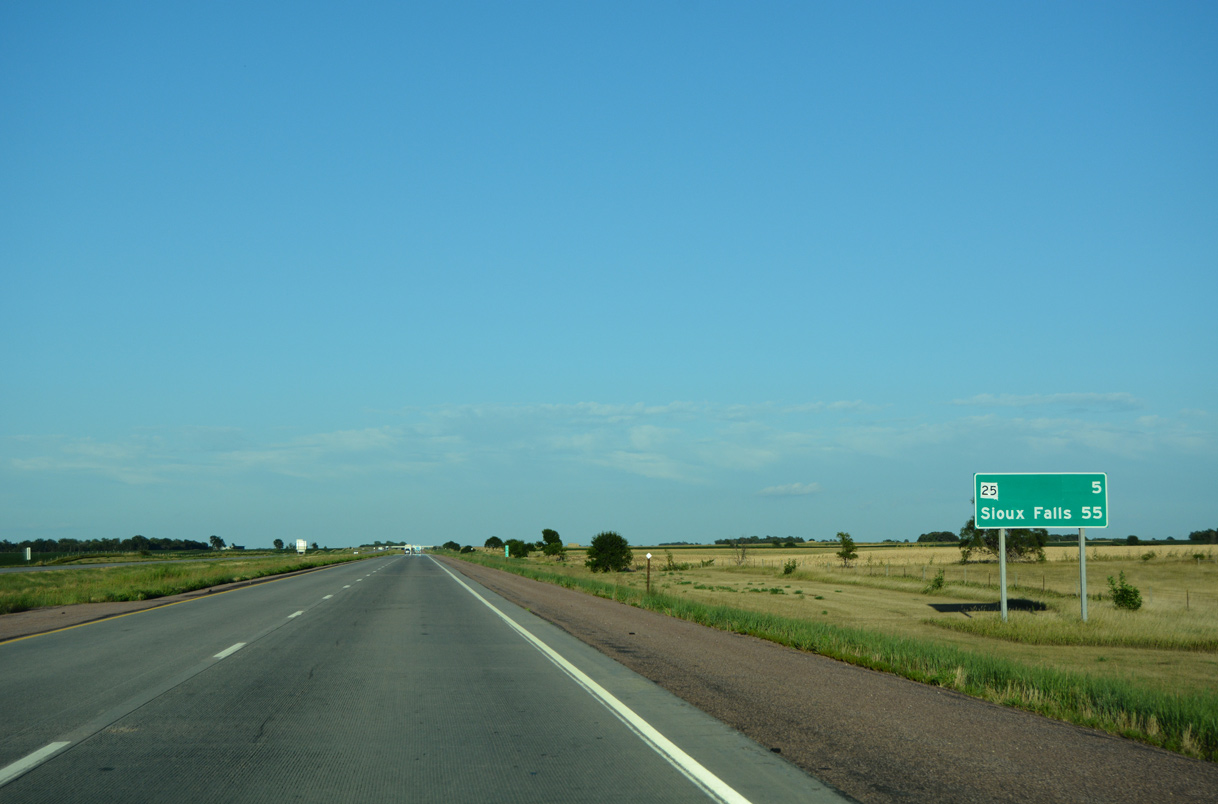
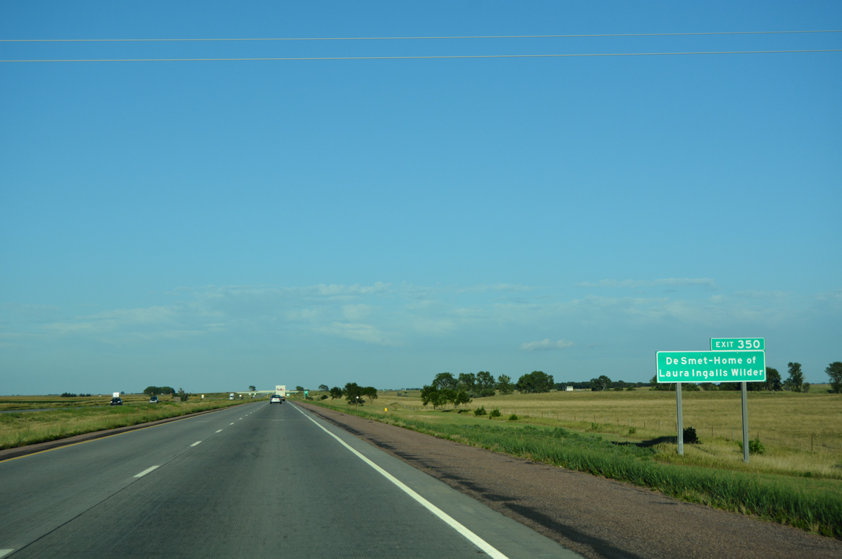
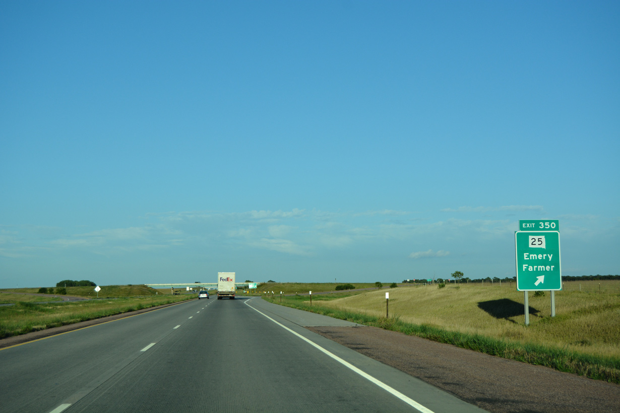
Forthcoming SD 25 stems 27.15 miles north from SD 262 west of Emery to SD 34 between Roswell and Vilas.
08/12/16
08/12/16
08/12/16
08/12/16
08/12/16

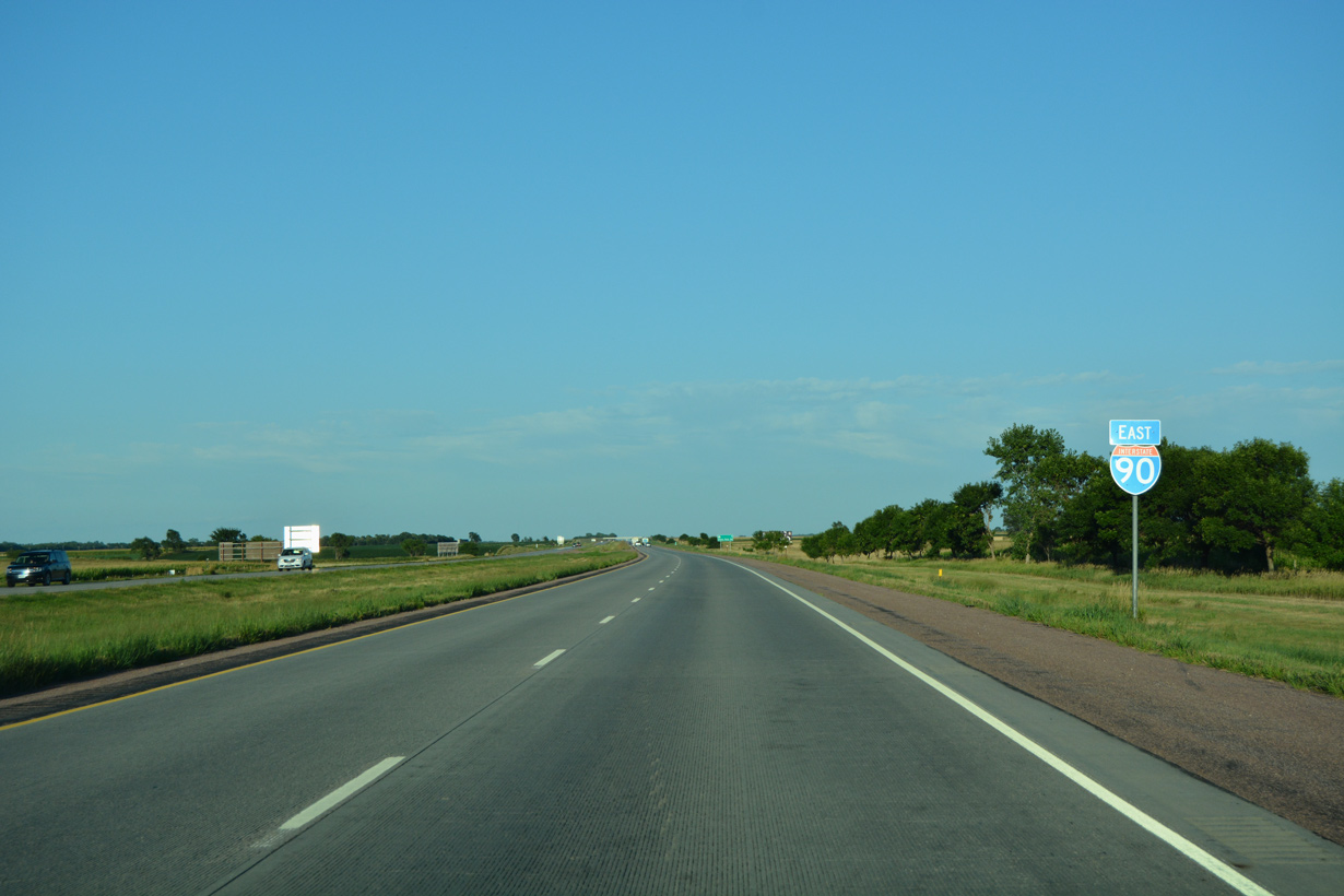
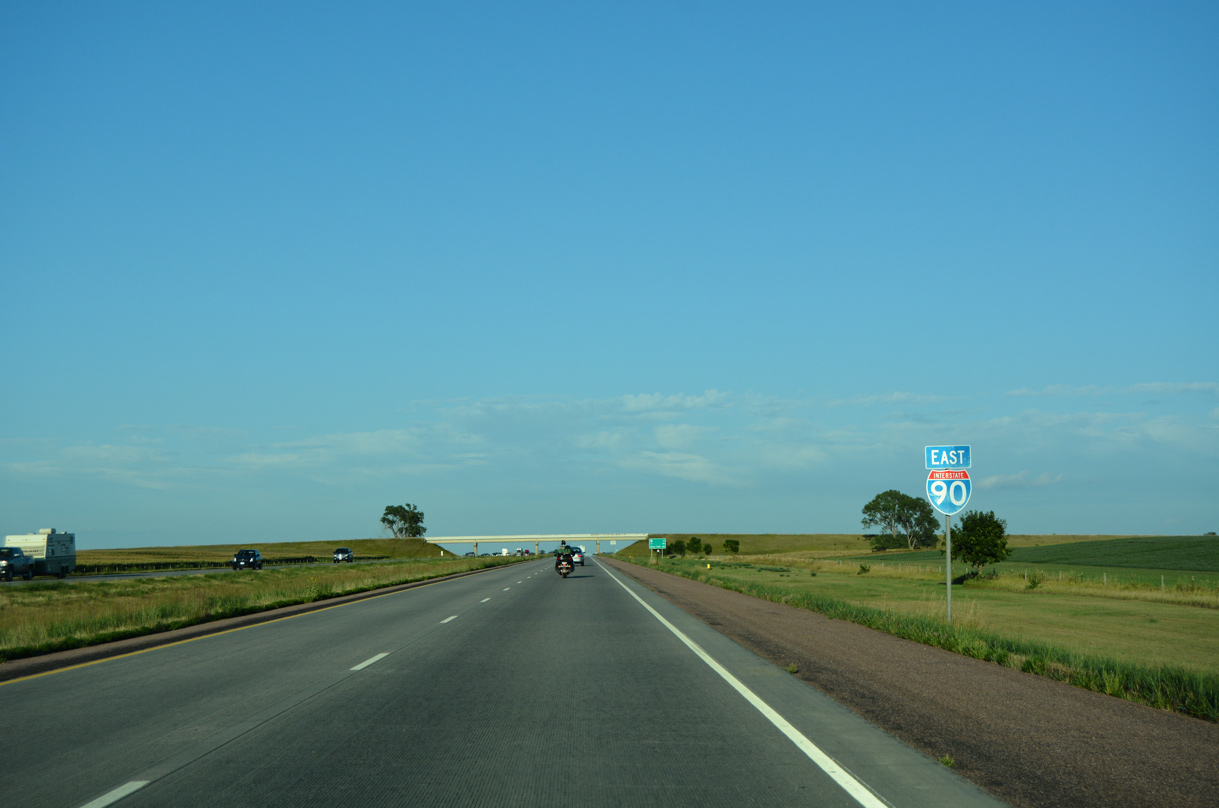
The exchange with Interstate 29 is 45 miles from the 428th Avenue overpass and mile marker 351.
08/12/16
08/12/16
08/12/16

Photo Credits:
- ABRoads: 08/12/16
Page Updated Saturday February 25, 2023.