
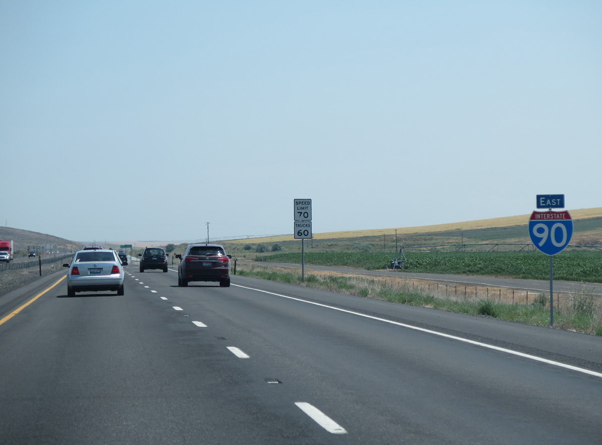
Interstate 90 East - Ritzville to Sprague
 East
East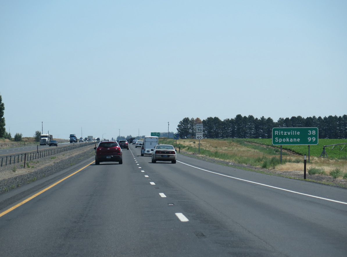
06/28/15
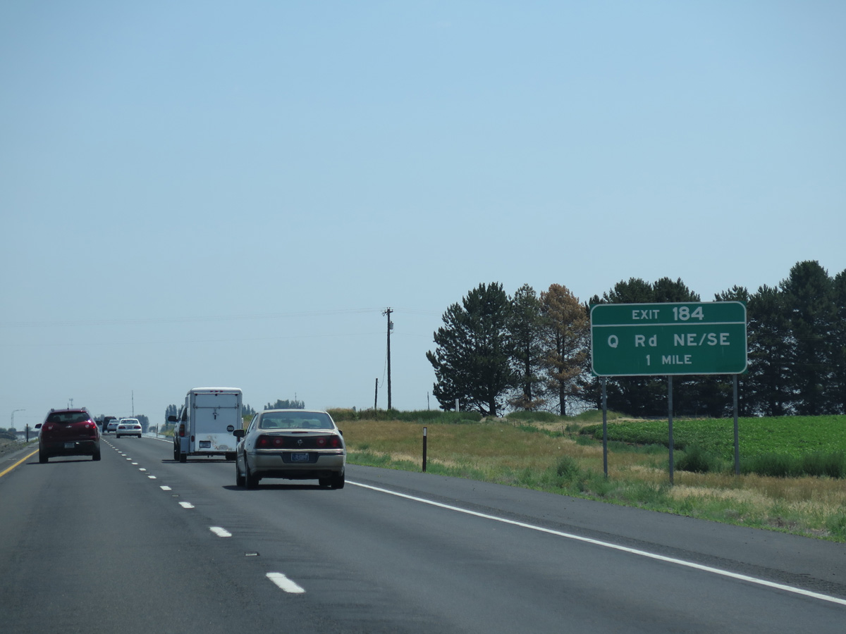
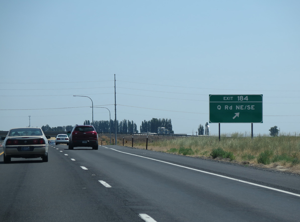
Q Road NE south and Q Road SE north come together at a diamond interchange (Exit 184) with Interstate 90 in one mile.
06/28/15
06/28/15
Q Road NE crosses East Low Canal near the Columbia Basin Railroad siding of Atwood.
06/28/15
06/28/15
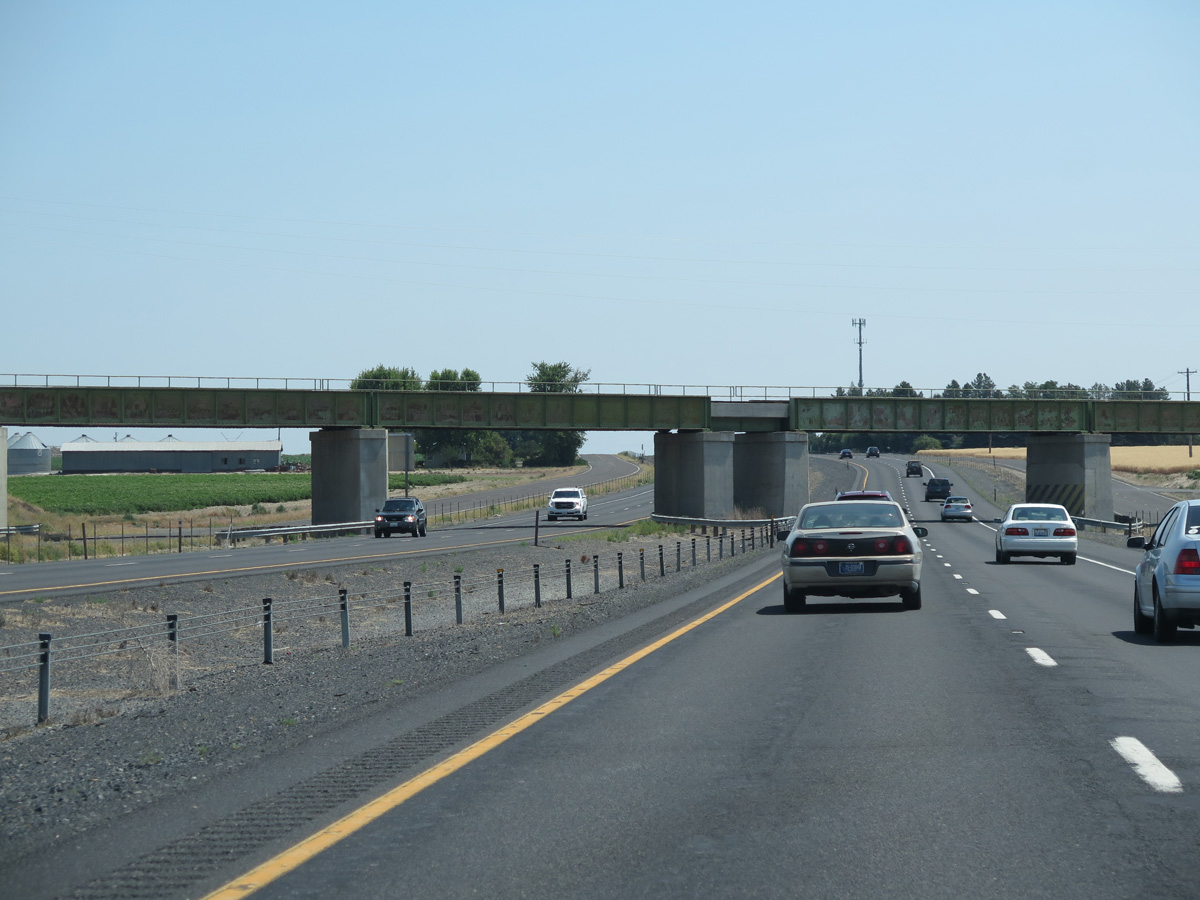
The Columbia Basin Railroad spans Interstate 90 east beyond Exit 184.
06/28/15
06/28/15
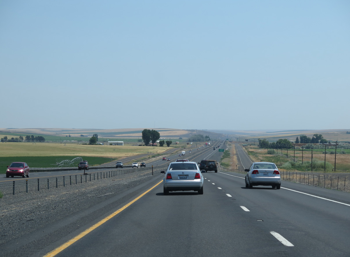
Interstate 90 bee lines east to Exit 188 and Weber Coulee.
06/28/15
06/28/15
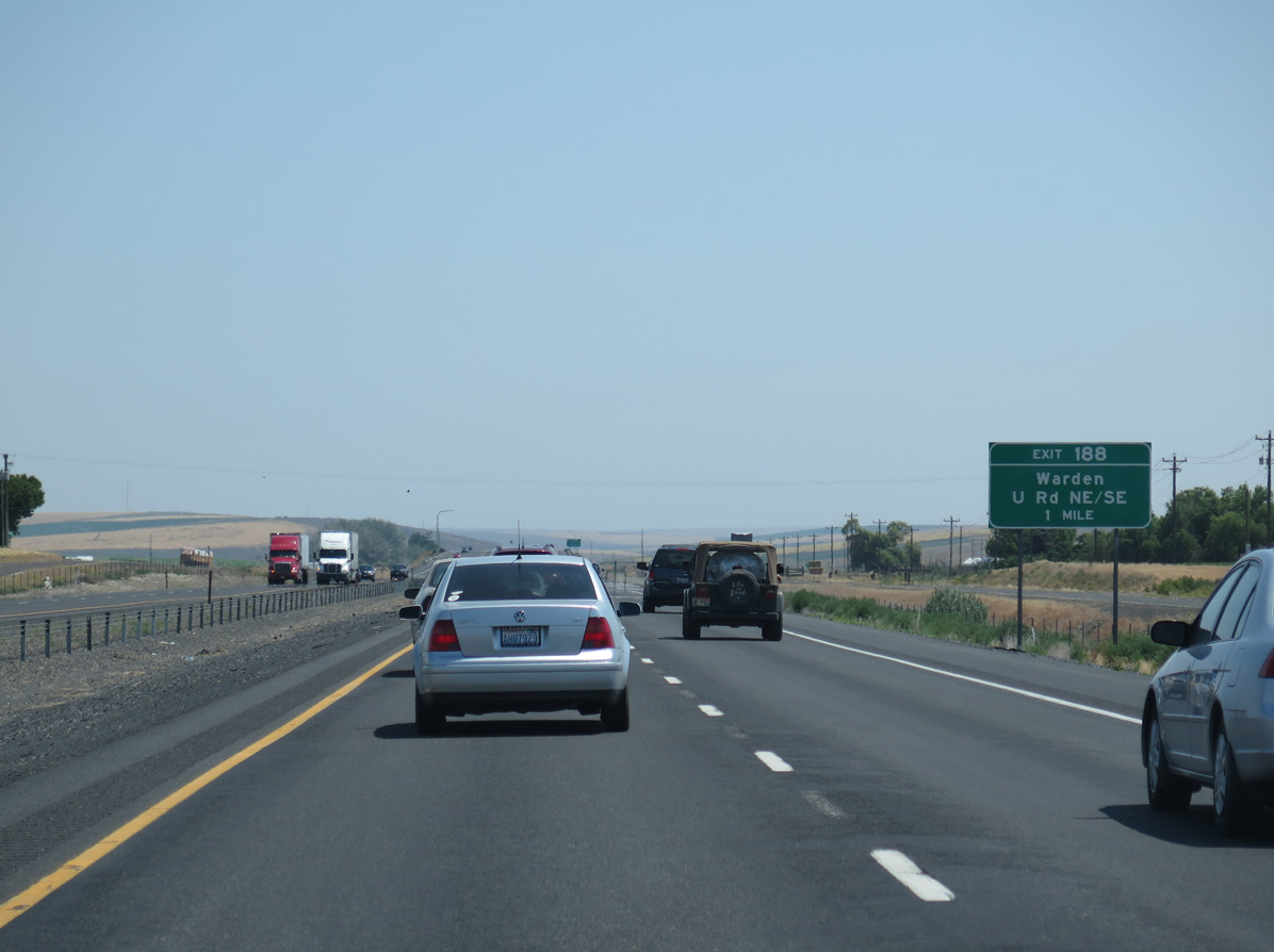
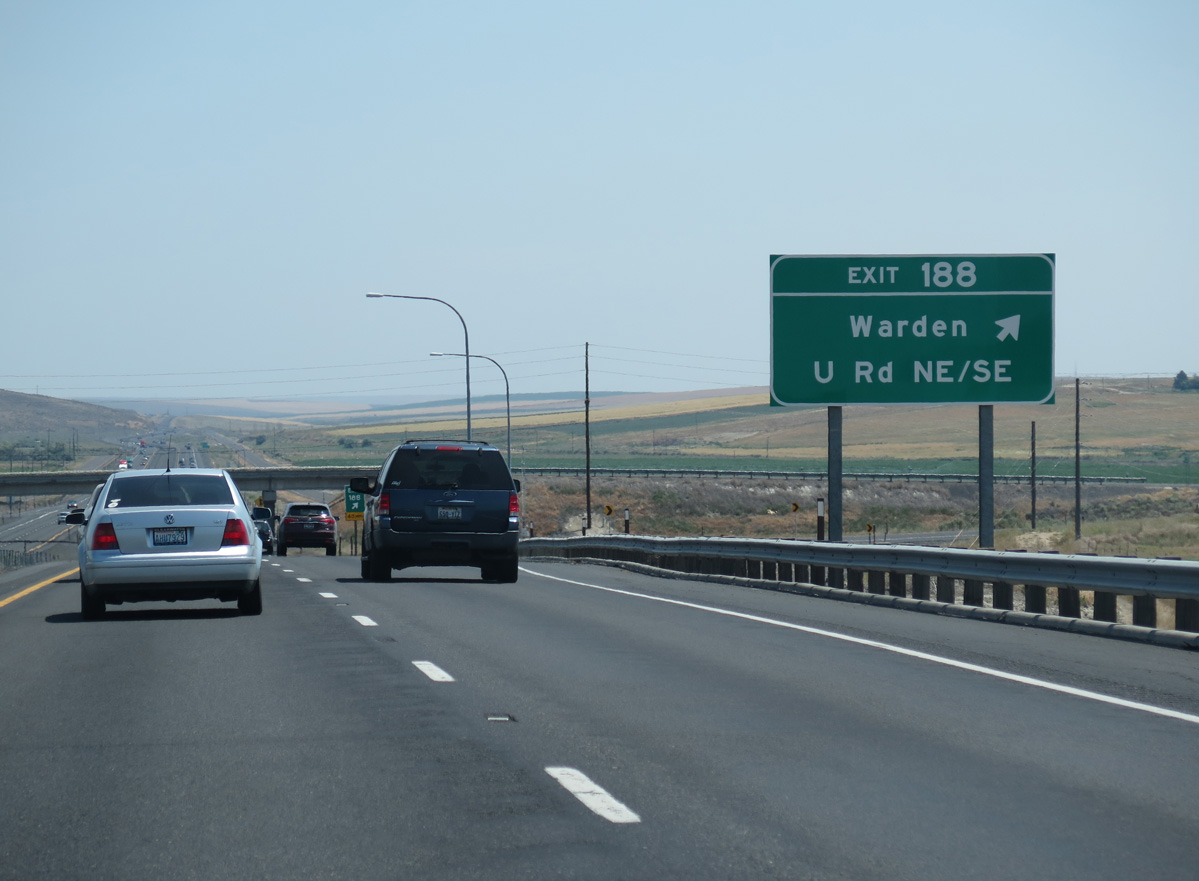
U Road runs 7.5 miles south from the diamond interchange at Exit 188 into the city of Warden.
06/28/15
06/28/15
U Road extends ten miles north from I-90 across agricultural land to Road 10 NE.
06/28/15
06/28/15
A Frontage Road accompanies the south side of I-90 east from U Road to the Columbia Basin Railroad siding of Barham.
06/28/15
06/28/15
06/28/15
06/28/15
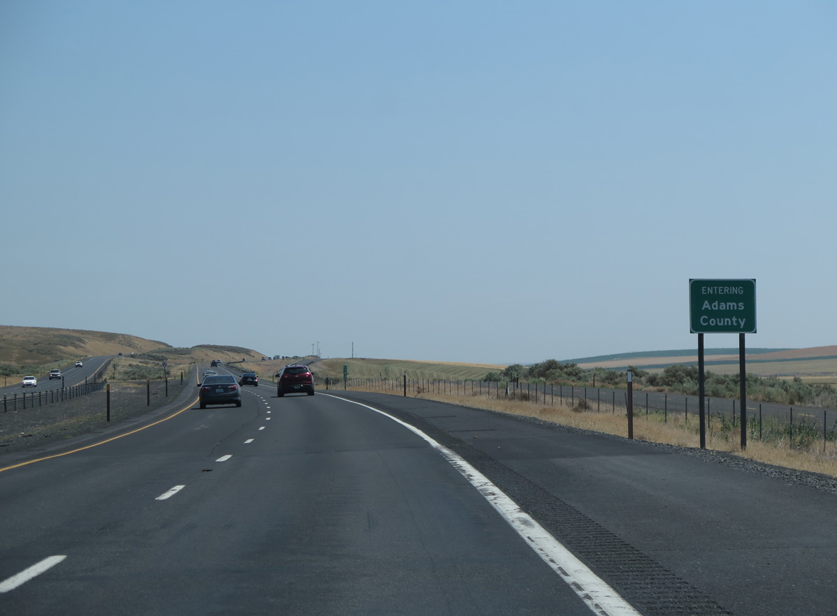
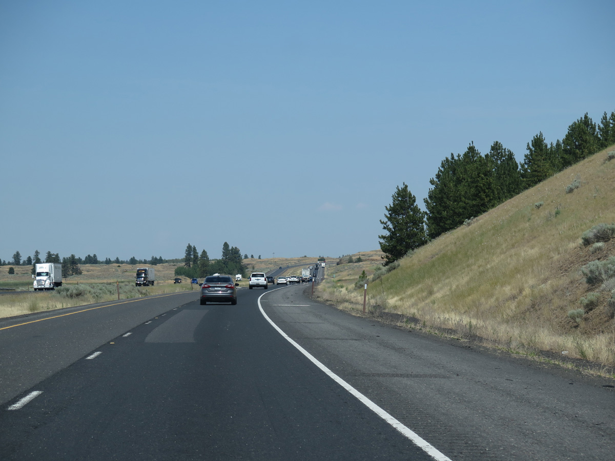
Running across the southern slopes of a bluff line overlooking Weber Coulee, Interstate 90 east enters Adams County.
06/28/15
06/28/15

The Schrag Rest Area at mile marker 198 is the fourth facility along Interstate 90 eastbound.
06/28/15
06/28/15
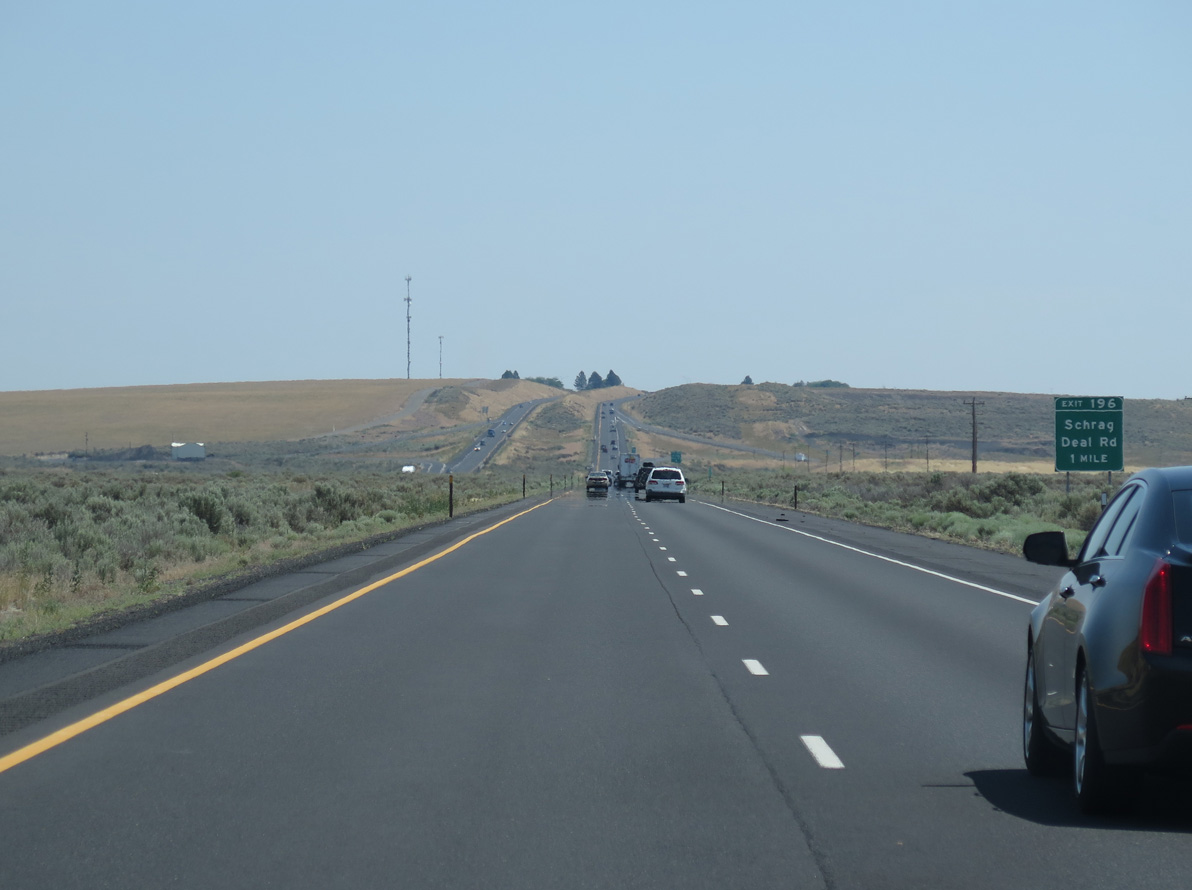
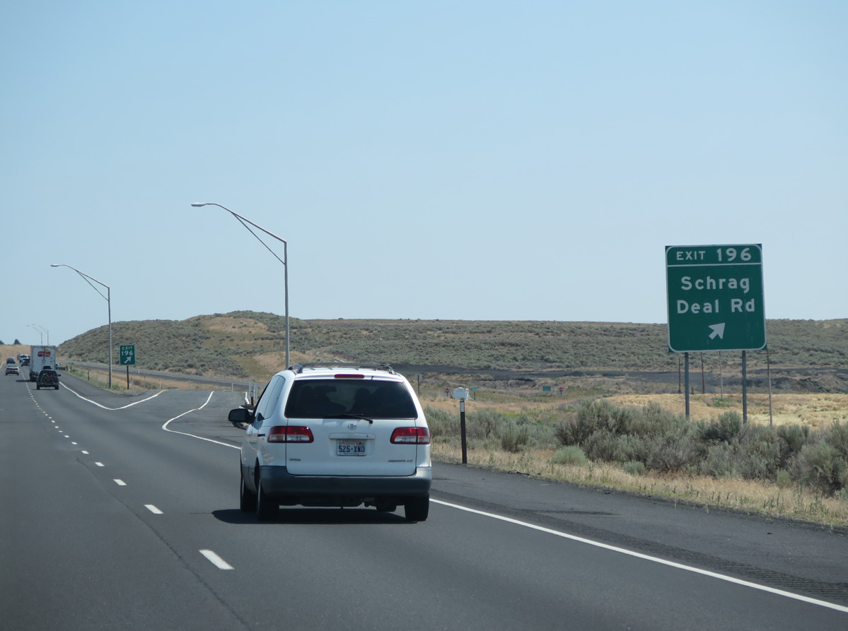
Deal Road meets Interstate 90 at a diamond interchange (Exit 196) between Bauer Coulee and Farrier Coulee.
06/28/15
06/28/15
The Columbia Basin Railroad siding of Schrag lies southeast of Exit 196 along Urquhart Road. Old U.S. 10 parallels Urquhart Road to the north.
06/28/15
06/28/15
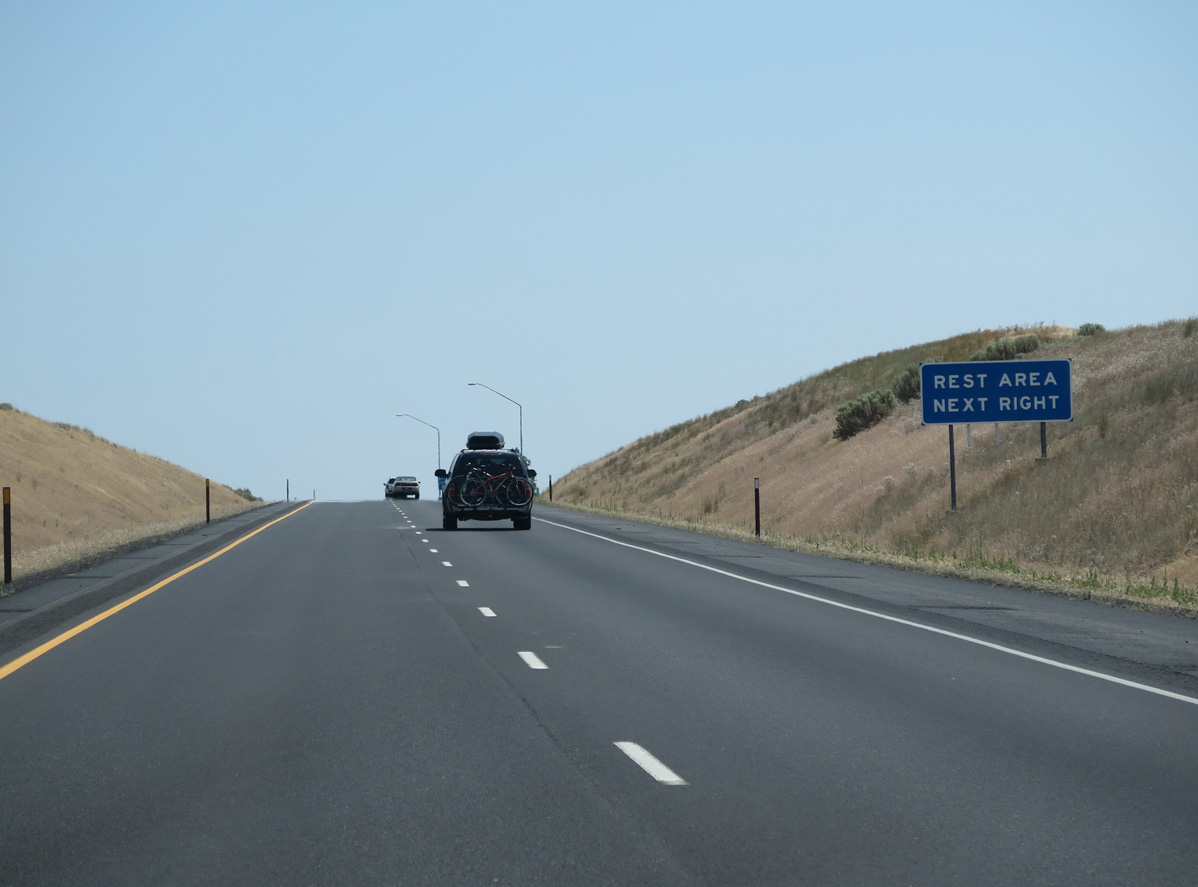
The Schrag Rest Area is one mile east of Deal Road.
06/28/15
06/28/15
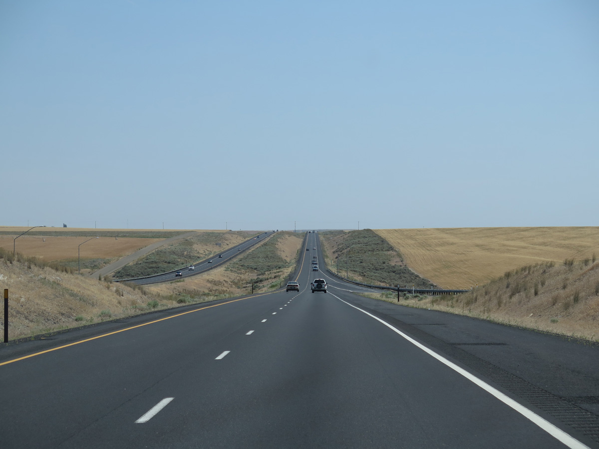
Interstate 90 continues east over a series of hills north of Bauer Coulee.
06/28/15
06/28/15
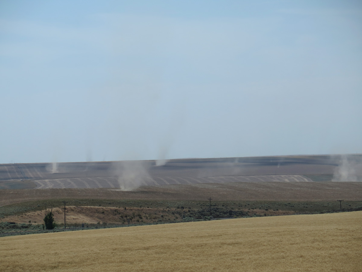
Dust devils on farm and ranch land.
06/28/15
06/28/15

06/28/15
7.7 miles separate the Schrag Rest Area from the succeeding exit to SR 21.
06/28/15
06/28/15
Koch Road parallels the north side of Interstate 90.
06/28/15
06/28/15
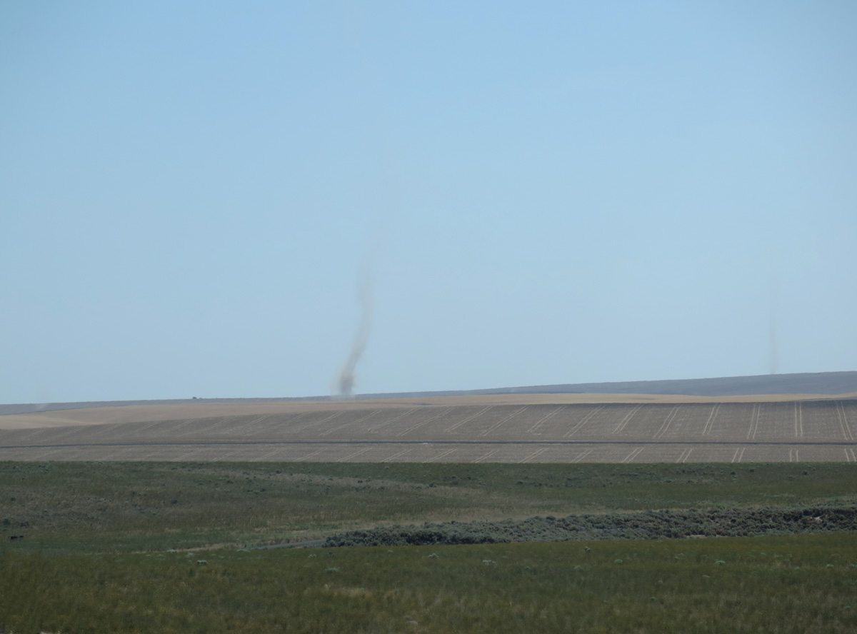
Dust devils beyond Schrag Road (old U.S. 10) to the south of Interstate 90.
06/28/15
06/28/15
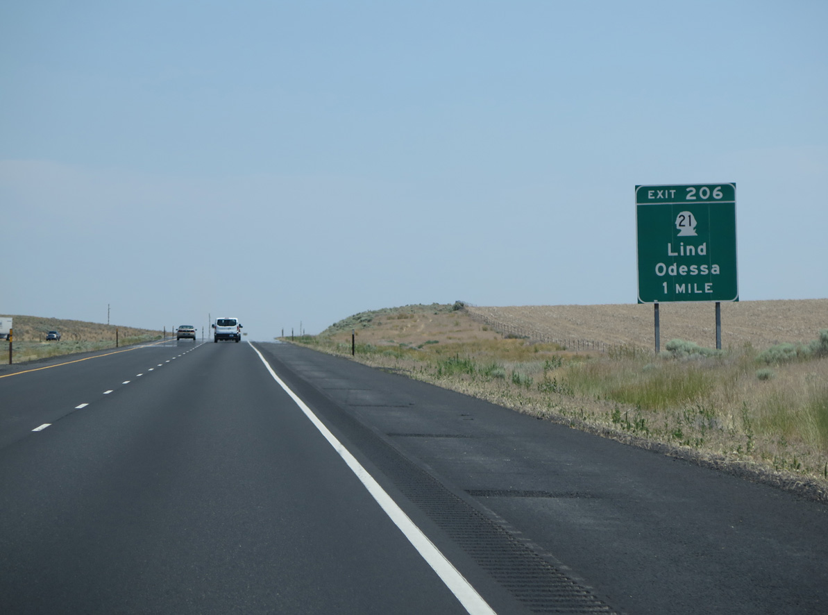
SR 21 travels 37.67 miles north from SR 260 in Kahlotus to the diamond interchange at Exit 206.
06/28/15
06/28/15
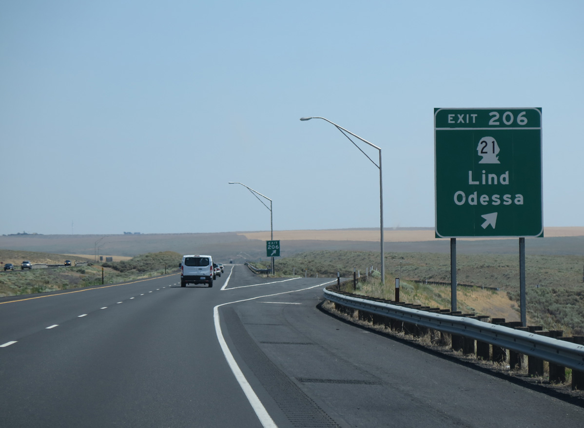
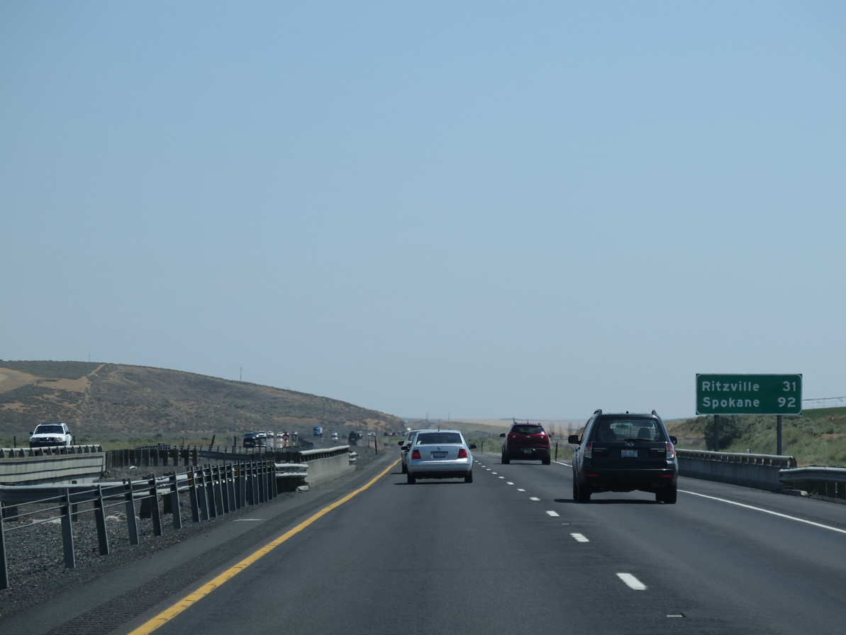
SR 21 heads south to Lind ahead of U.S. 395. Odessa is located 18.28 miles to the north at the crossroads of SR 21 and SR 28.
06/28/15
06/28/15
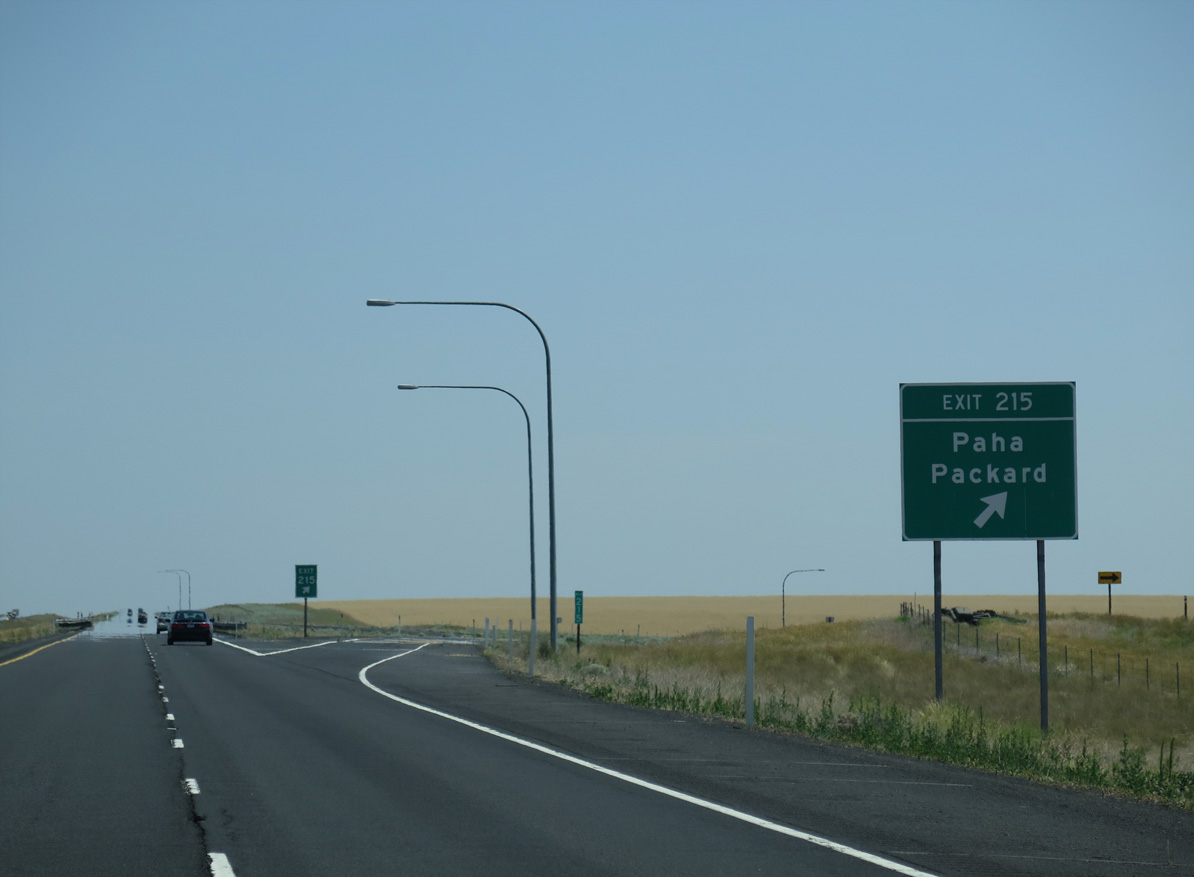
Paha Packard Road is a rural highway connecting the settlement of Packard to the north with the BNSF Railroad siding of Paha to the south at U.S. 395.
06/28/15
06/28/15
Interstate 90 advances east to Paha Coulee.
06/28/15
06/28/15
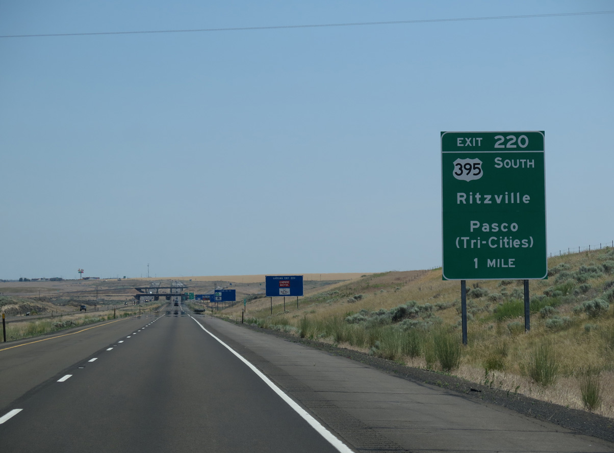
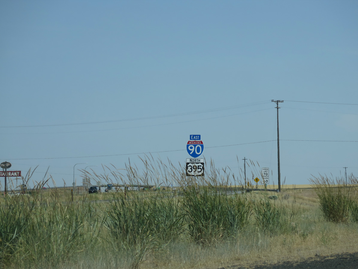
U.S. 395 converges with Interstate 90 northeast from the Tri-Cities Region. Exit 220 to W 1st Avenue links the freeway east with the expressway southwest to Pasco.
06/28/15
06/28/15
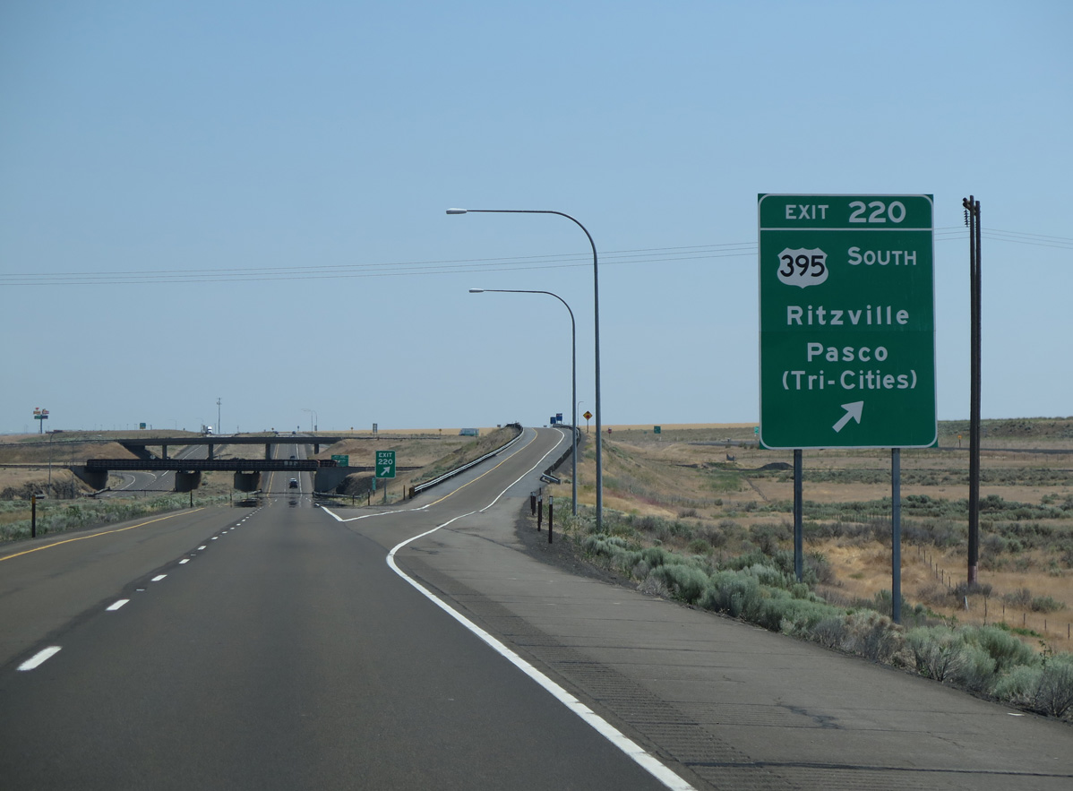
W 1st Avenue branches north from an adjacent wye interchange with U.S. 395 along old U.S. 10/395 to Exit 220 and the Ritzville city center.
06/28/15
06/28/15

Interstate 90 enters the city of Ritzville at the diamond interchange (Exit 221) with the north end of SR 261 and Division Street.
06/28/15
06/28/15
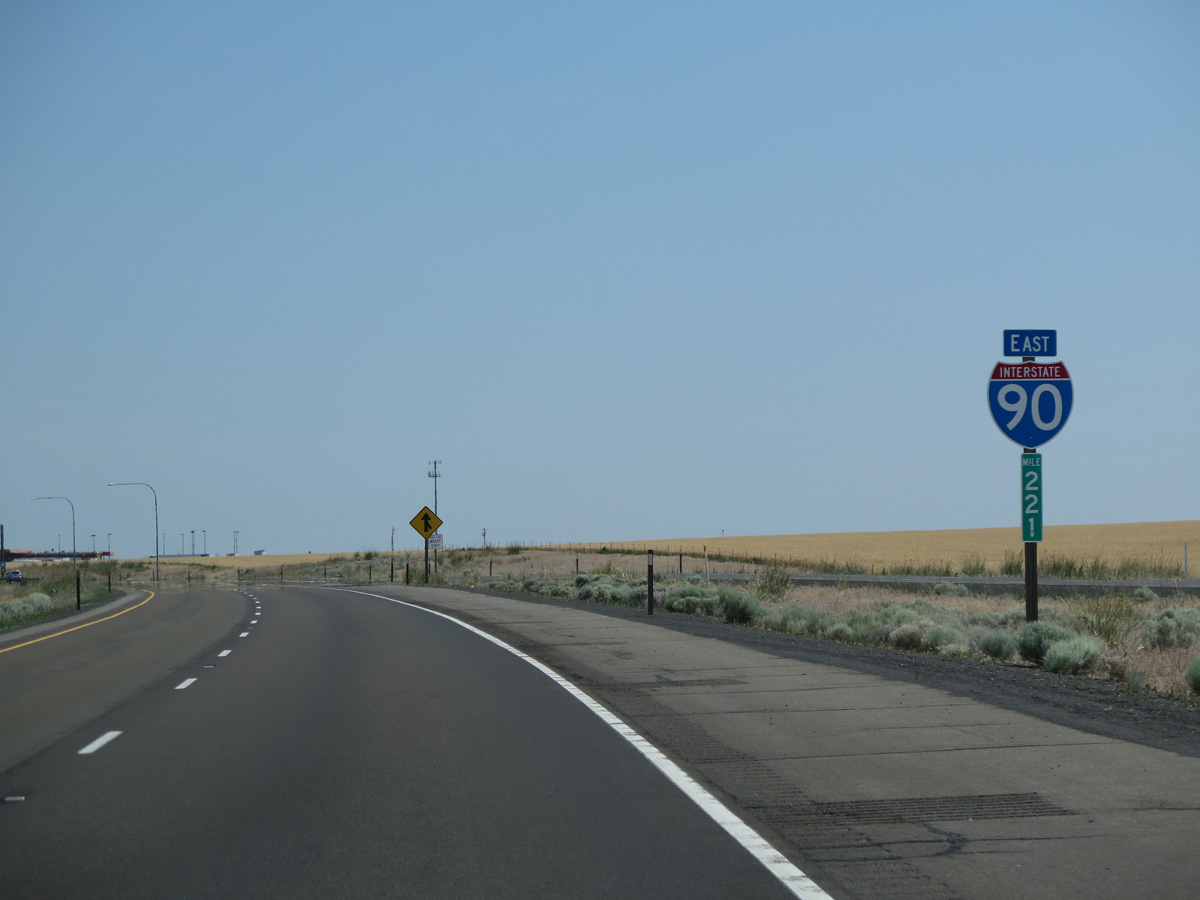
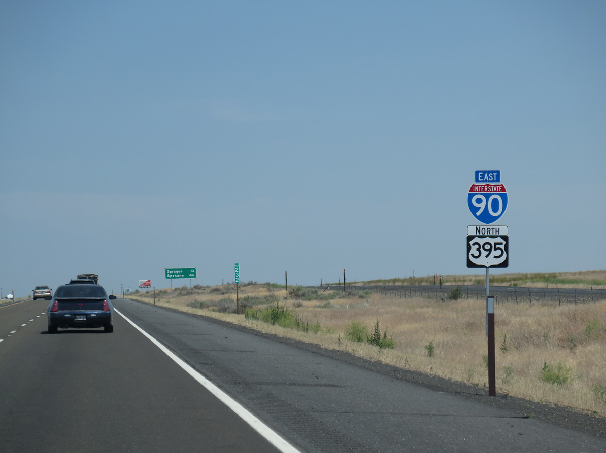
U.S. 395 north combines with Interstate 90 east at a wye interchange (Exit 220). Originally a parclo B2 interchange joined I-90 with U.S. 395 at W 1st Avenue.
06/28/15
06/28/15
East  North
North
The addition of U.S. 395 north onto I-90 east adds an auxiliary lane to Exit 221 for SR 261 south at Division Street and Weber Road.
06/28/15
06/28/15
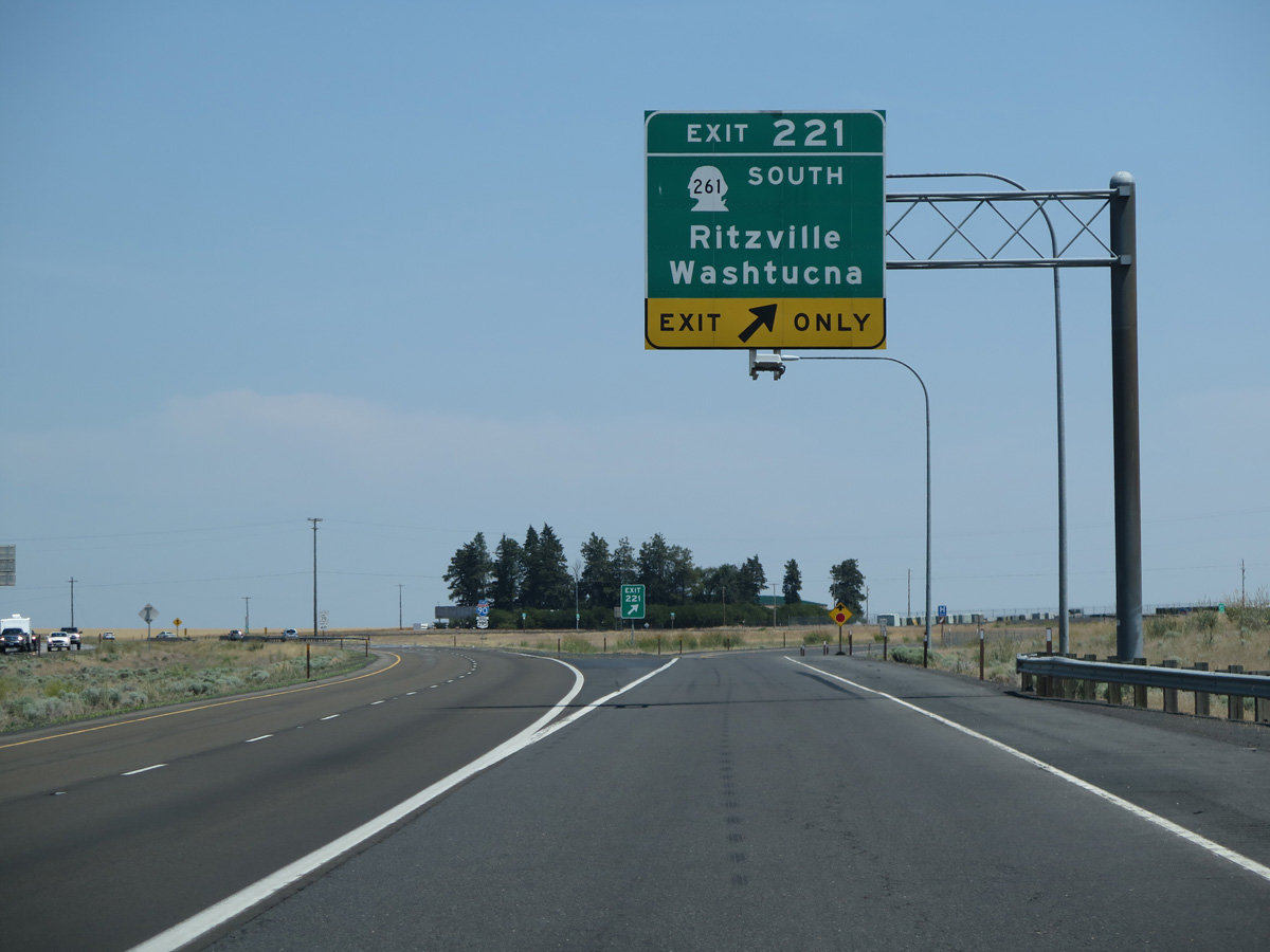
Measuring 62.71 miles overall, SR 261 travels south from I-90/U.S. 395 and Ritzville to U.S. 12 north of Dayton. The state route reaches Washtucna in 27 miles.
06/28/15
06/28/15
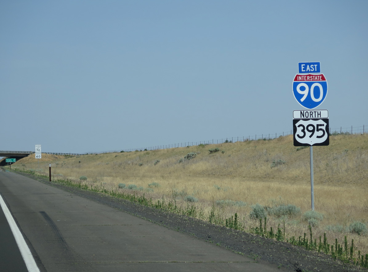
The first set of shields for Interstate 90 east / U.S. 395 north appear beyond the gore point for Exit 221.
06/28/15
06/28/15

Division Street north to the Ritzville city center and 1st Avenue (old U.S. 10/395) southwest to I-90 represents a former Business Loop for Interstate 90.
06/28/15
06/28/15
Former U.S. 10/395 followed Danekas Road northeast from 1st Avenue in Ritzville parallel to the BNSF Railroad.
06/28/15
06/28/15
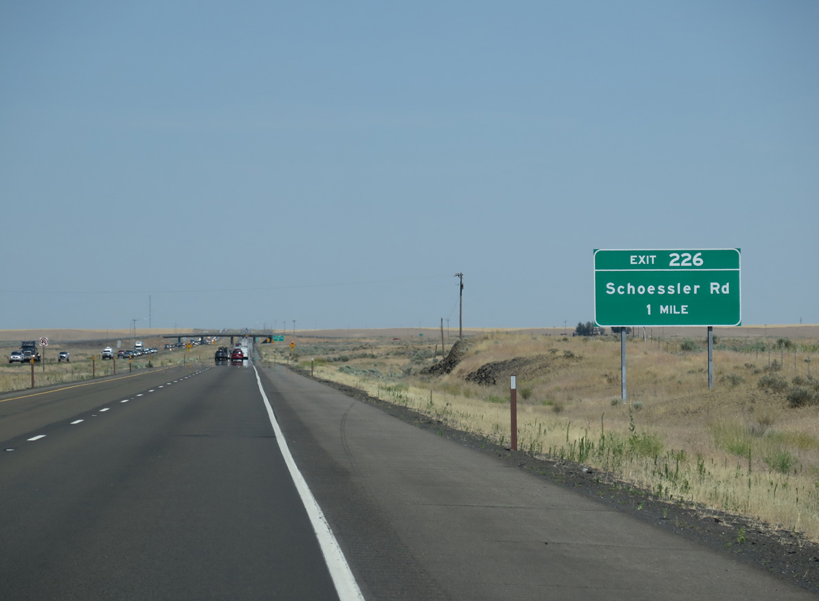
Schoessler Road stems 0.75 miles east from Danekas Road to the diamond interchange at Exit 226.
06/28/15
06/28/15
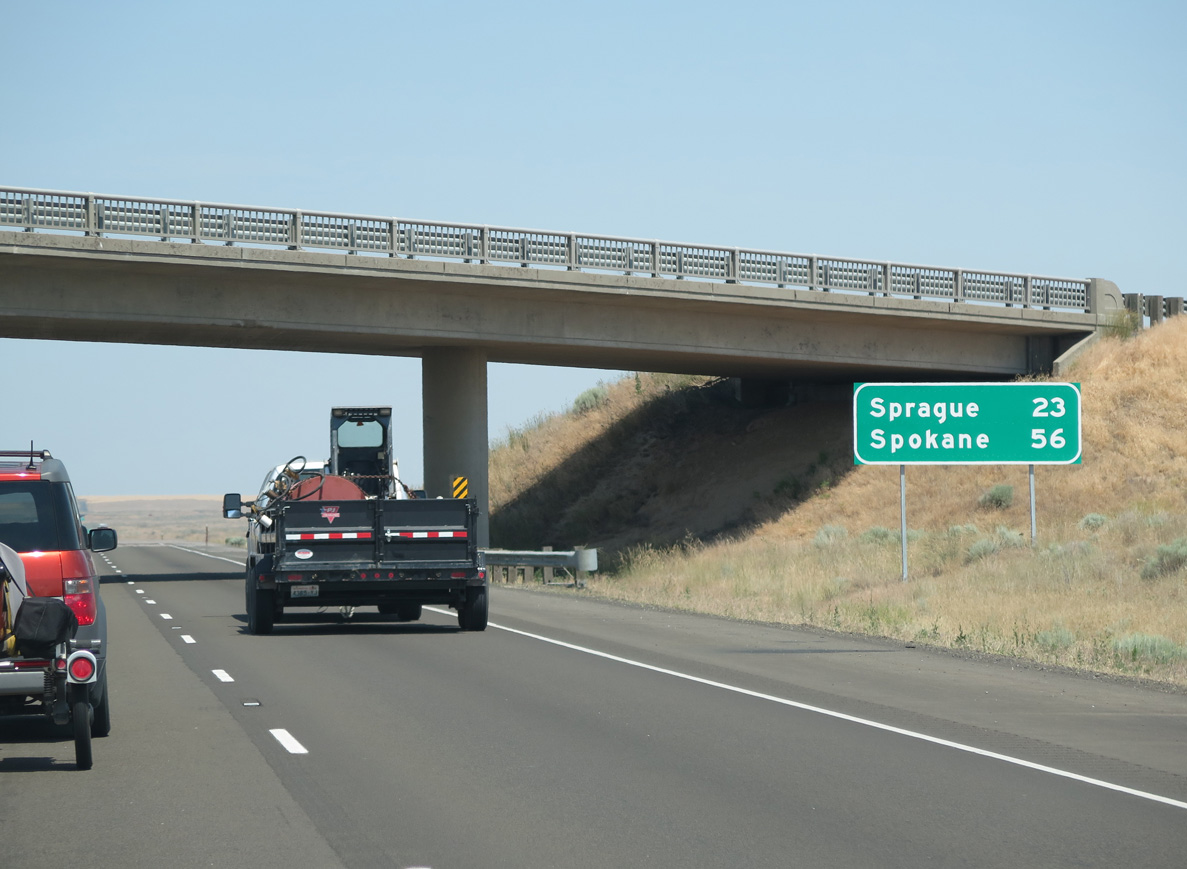
Leaving Ritzville, I-90/U.S. 395 pass under Wellsandt Road 23 miles from the city of Sprague.
06/28/15
06/28/15
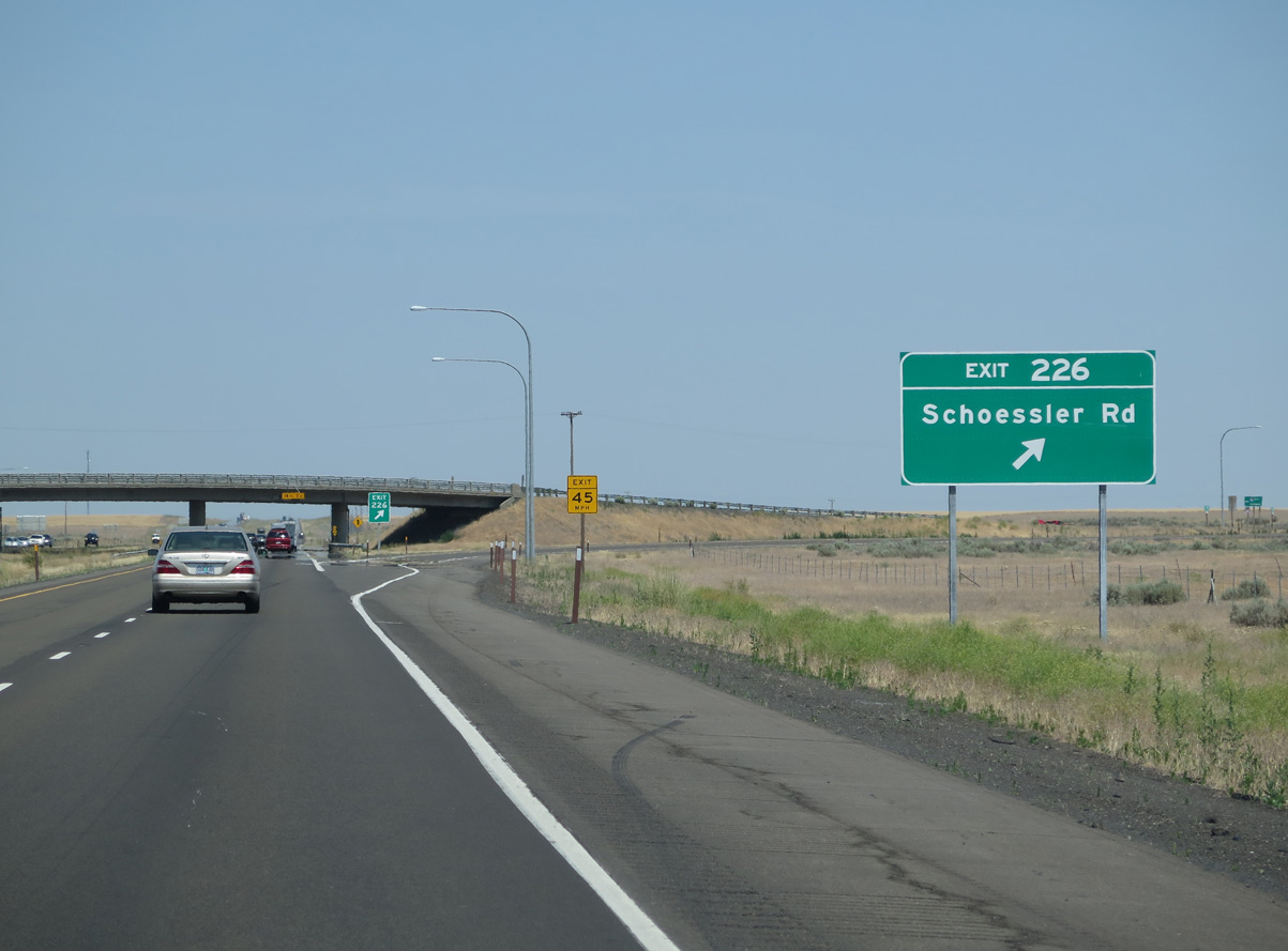
Schoessler Road forms a truck route from Ritzville along with Danekas Road. Schoessler Road extends 1.9 miles east the rural exit along I-90 across agricultural areas to Hills Road.
06/28/15
06/28/15

I-90/U.S. 395 lower nearly 100 feet from an elevation of near 2,000 feet above sea level on the stretch south of Tokio.
06/28/15
06/28/15
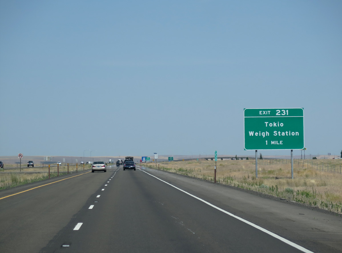
Old U.S. 10/395 (Danekas Road) curve eastward from the BNSF Railroad siding of Tokio to meet Interstate 90 at Exit 231 in one mile.
06/28/15
06/28/15
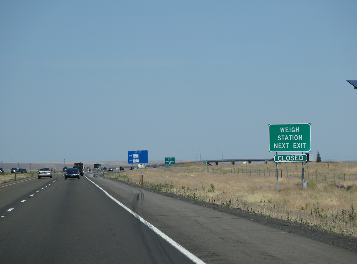
The eastbound entrance ramp from Danekas Road includes a truck weigh station, requiring commercial trucks to take Exit 231 during times of operation.
06/28/15
06/28/15
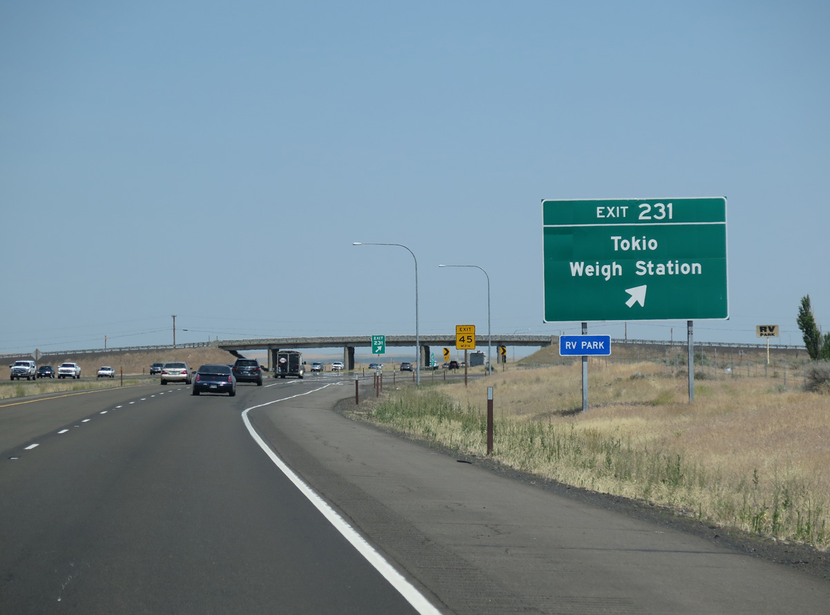
Danekas Road shifts south of I-90/U.S. 395 at Exit 231 and Dury Road. Continuing east, old U.S. 10/395 loop around Sprague Lake to the city of Sprague.
06/28/15
06/28/15
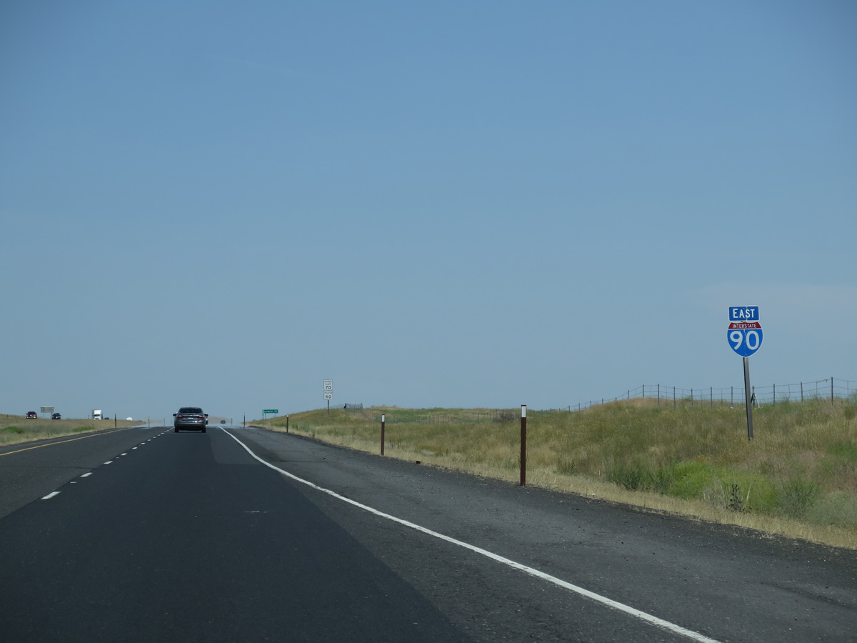
Interstate 90 east and U.S. 395 north overlap 61 miles from Ritzville to east of the Spokane city center.
06/28/15
06/28/15
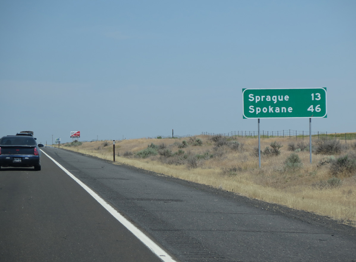
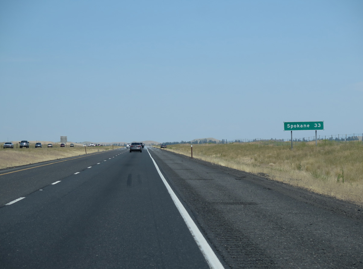
A lengthy exit less stretch commences on the 13 miles leading to Sprague while Spokane is 46 miles to the northeast.
06/28/15
06/28/15

I-90/U.S. 395 east of Wellsandt Road, which spans the freeway north from Danekas Road to Keystone, a BNSF Railroad siding.
06/28/15
06/28/15
Sprague Lake spreads to the east of I-90/U.S. 395 over the ensuing five miles.
06/28/15
06/28/15
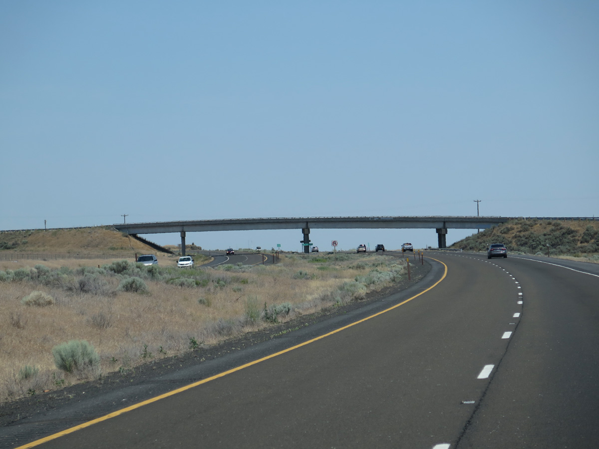
A roadway split precedes the Bob Lee Road overpass where I-90/U.S. 395 switches sides with the BNSF Railroad line west of Sprague Lake.
06/28/15
06/28/15
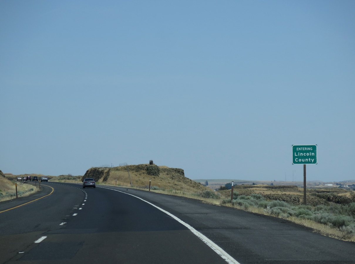
I-90/U.S. 395 enter the southeastern corner of Lincoln County just east of the Bob Lee Road overpass.
06/28/15
06/28/15
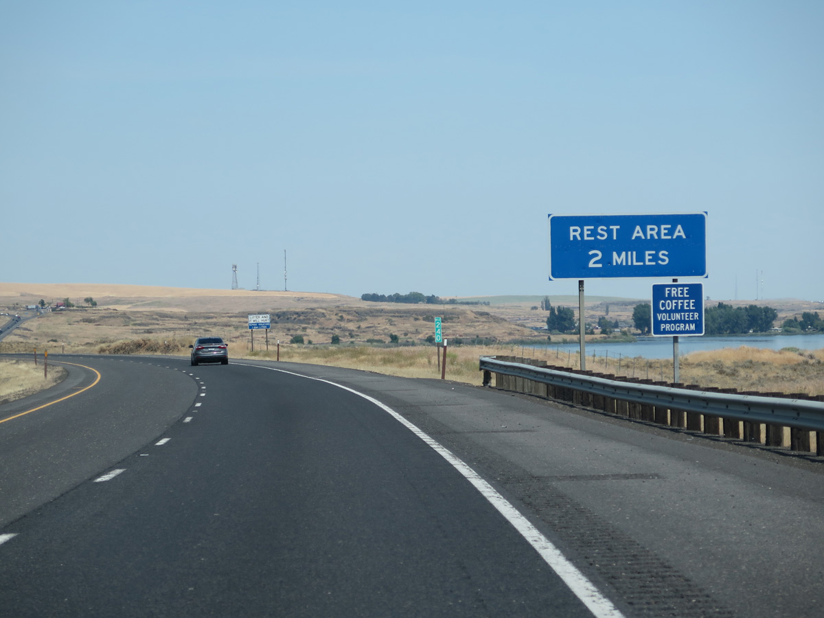
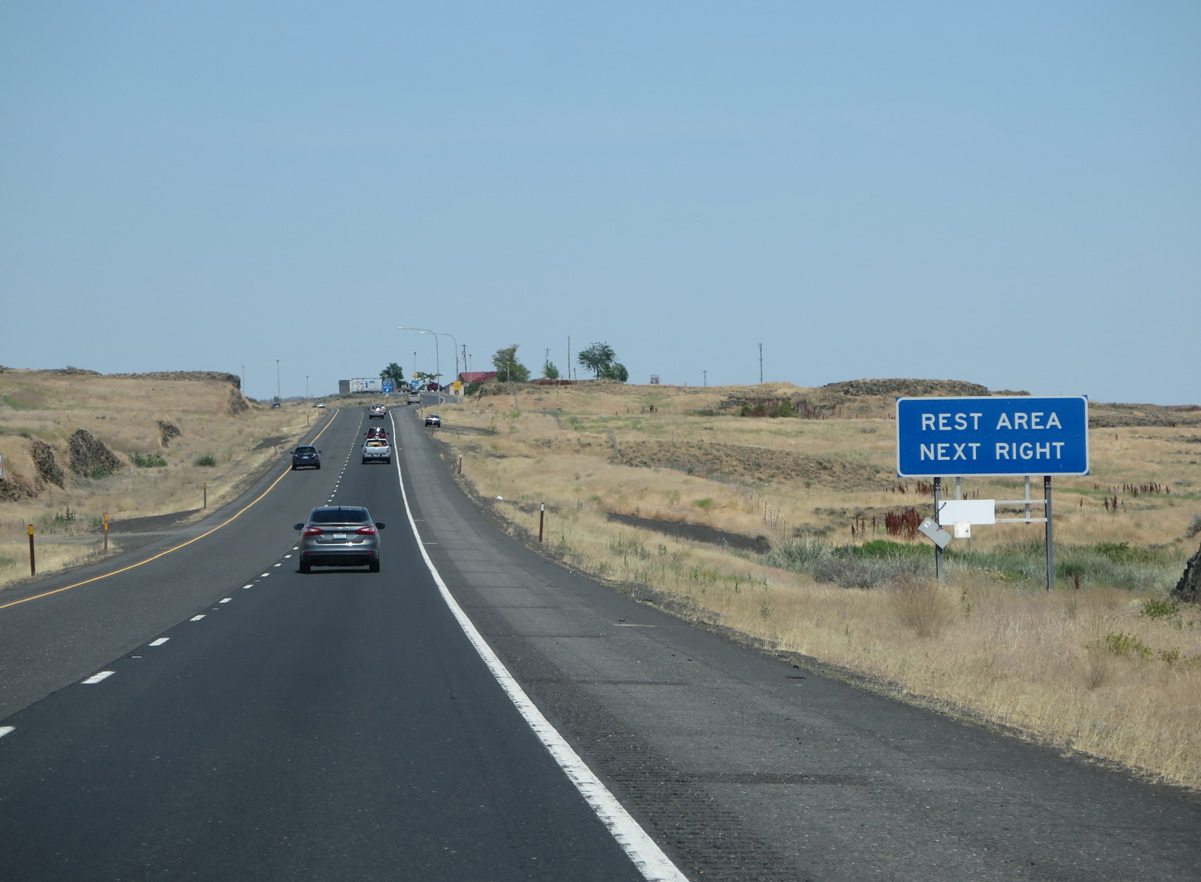
Rest areas line both roadways on I-90/U.S. 395 to the north of Sprague Lake in two miles.
06/28/15
06/28/15
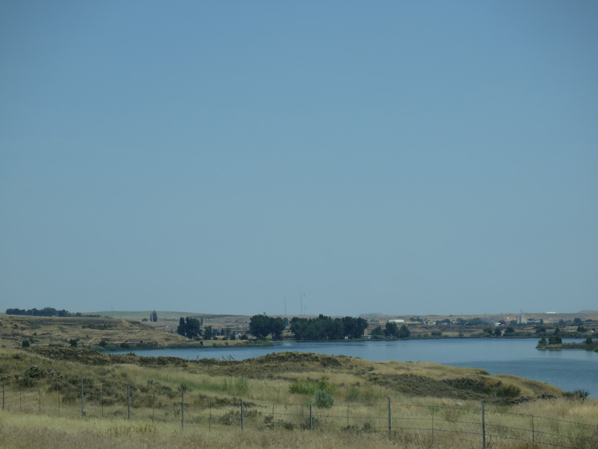
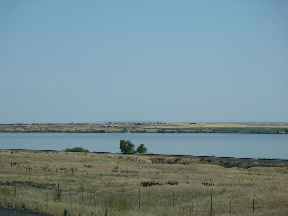
Northern reaches of Sprague Lake.
06/28/15
06/28/15
Located beyond mile marker 241, the Sprague Lake Rest Area is the fifth area along Interstate 90 eastbound in Washington.
06/28/15
06/28/15
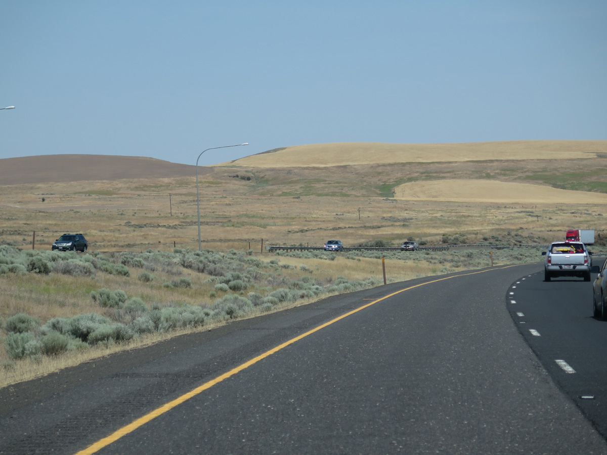
The hilly terrain along Sprague Lake results in a second roadway split for I-90/U.S. 395 with the westbound lanes traveling up to 30 feet higher than the eastbound roadway.
06/28/15
06/28/15
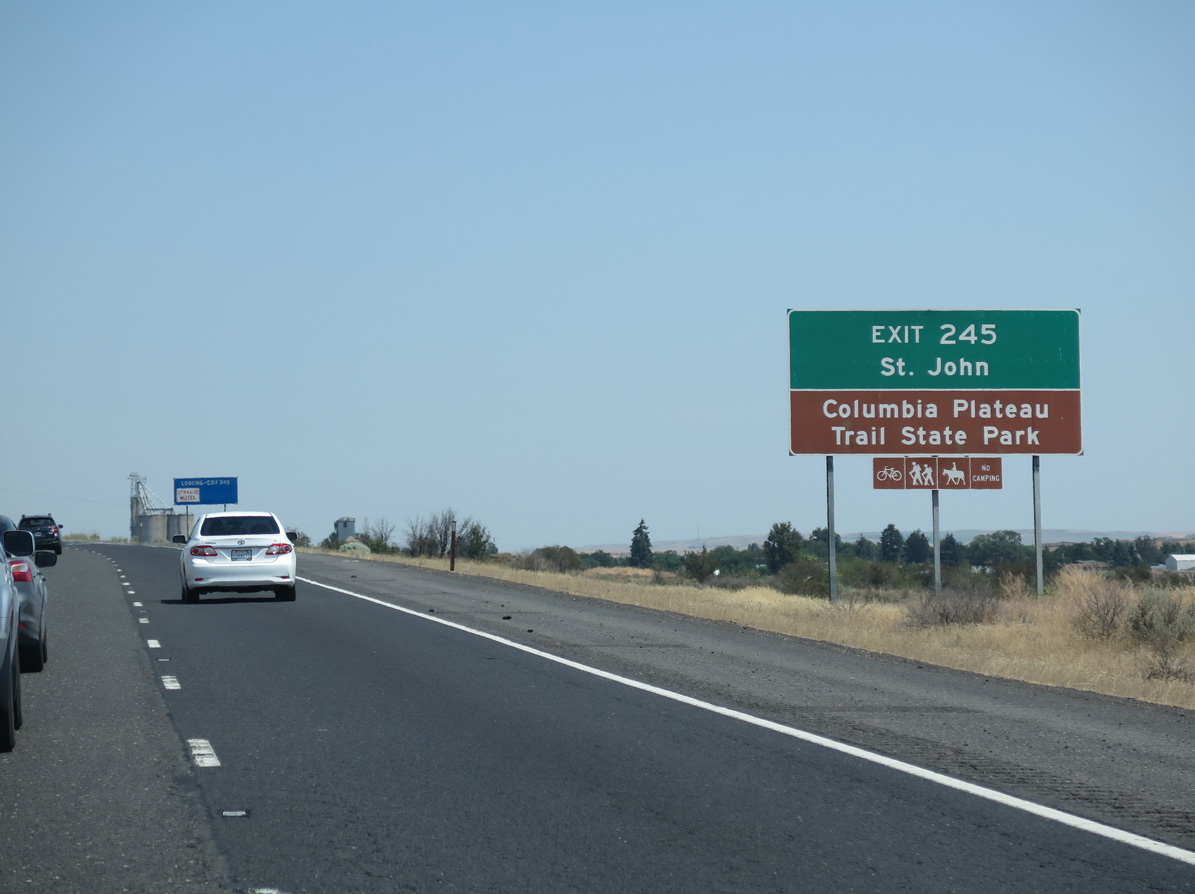
SR 23 meanders southeast from forthcoming Exit 245 to Columbia Plateau Trail State Park and St. John over the course of 30 miles.
06/28/15
06/28/15
The diamond interchange (Exit 245) with SR 23 straddles the north Sprague city line. Sprague offers the only traveler services along Interstate 90 between Tokio / Exit 231 and west Spokane / Exit 276.
06/28/15
06/28/15
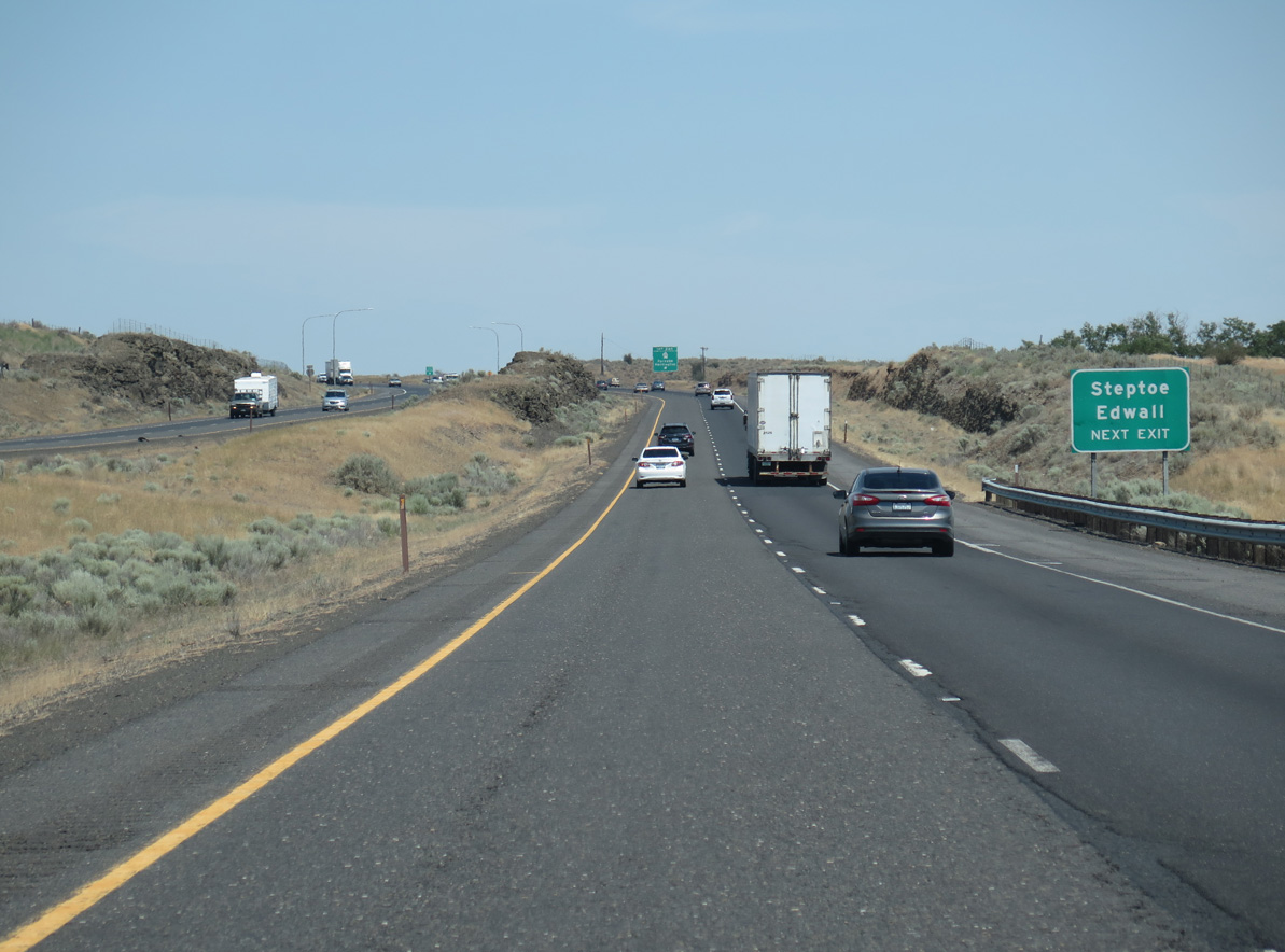
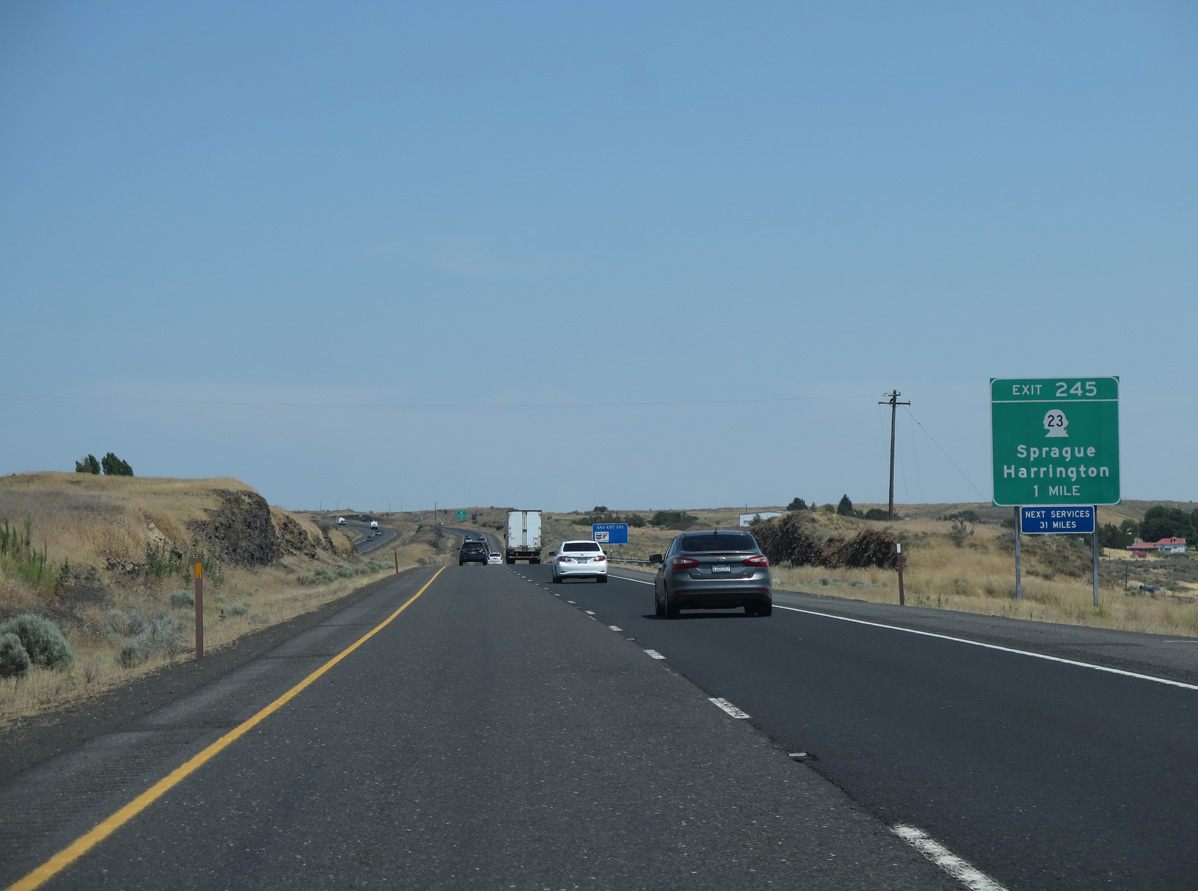
SR 231 branches north from SR 23 a half mile north of Interstate 90. SR 231 leads 15.6 miles to the unincorporated community of Edwall and 28.00 miles to an overlap with U.S. 2 east to Reardan.
06/28/15
06/28/15
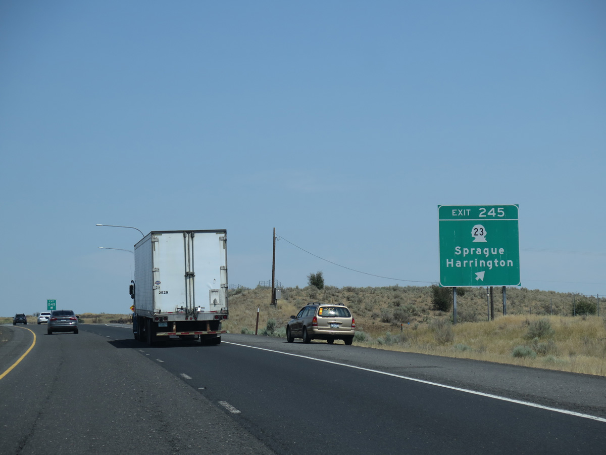
SR 23 travels 66.00 miles overall from U.S. 195 at Steptoe northwest to SR 28 in the city of Harrington.
06/28/15
06/28/15
06/28/15
I-90/U.S. 395 pass the rural unincorporated communities of Tyler and Four Lakes on the 33 miles leading to eastern Washington's largest city.
06/28/15
06/28/15
06/28/15
I-90/U.S. 395 north ahead of Ames Lake.
06/28/15
06/28/15
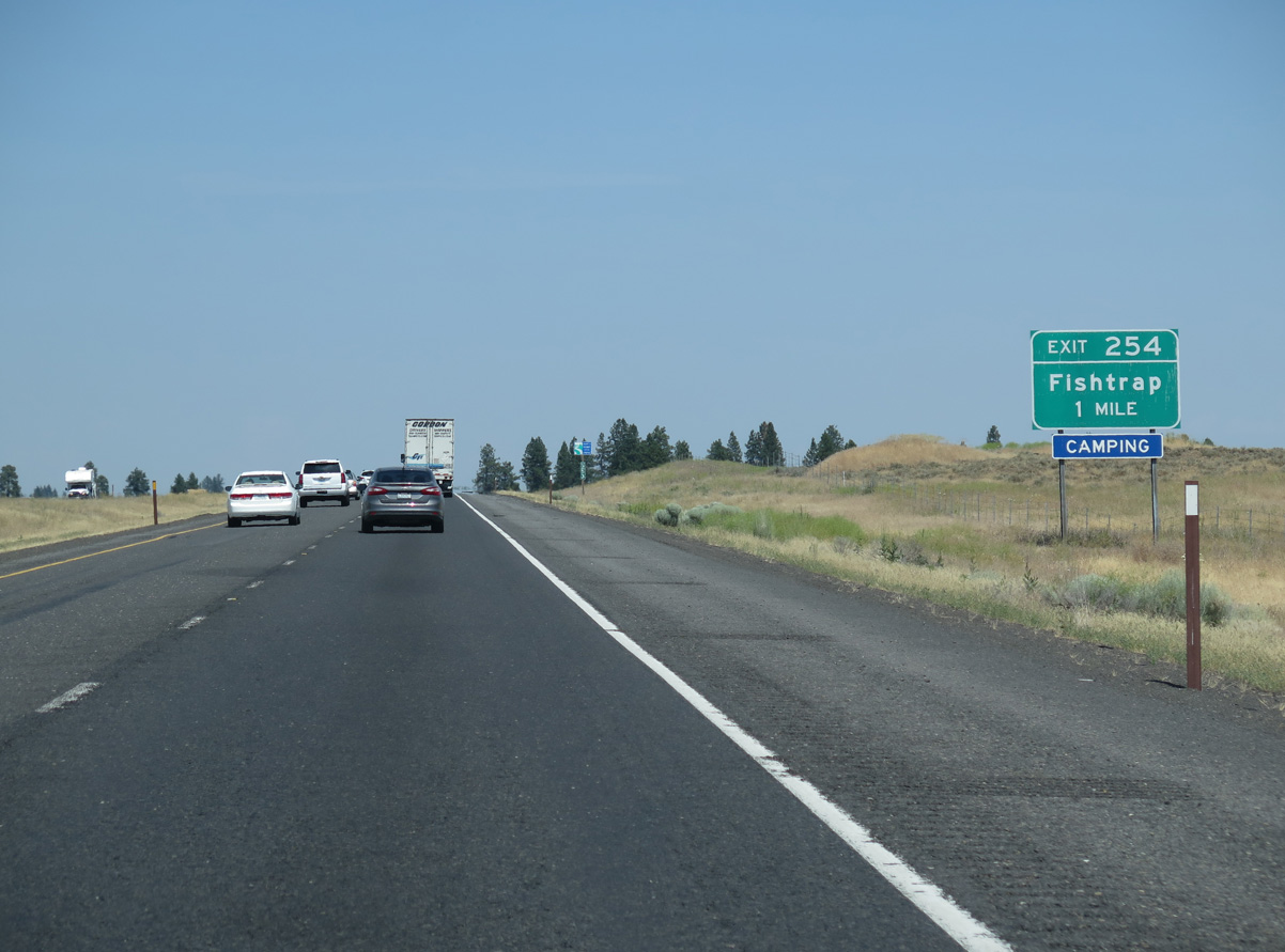
Generally following the BNSF Railroad, old U.S. 10/395 (Sprague Highway Road) loops northeast from Sprague to the diamond interchange at Exit 254.
06/28/15
06/28/15
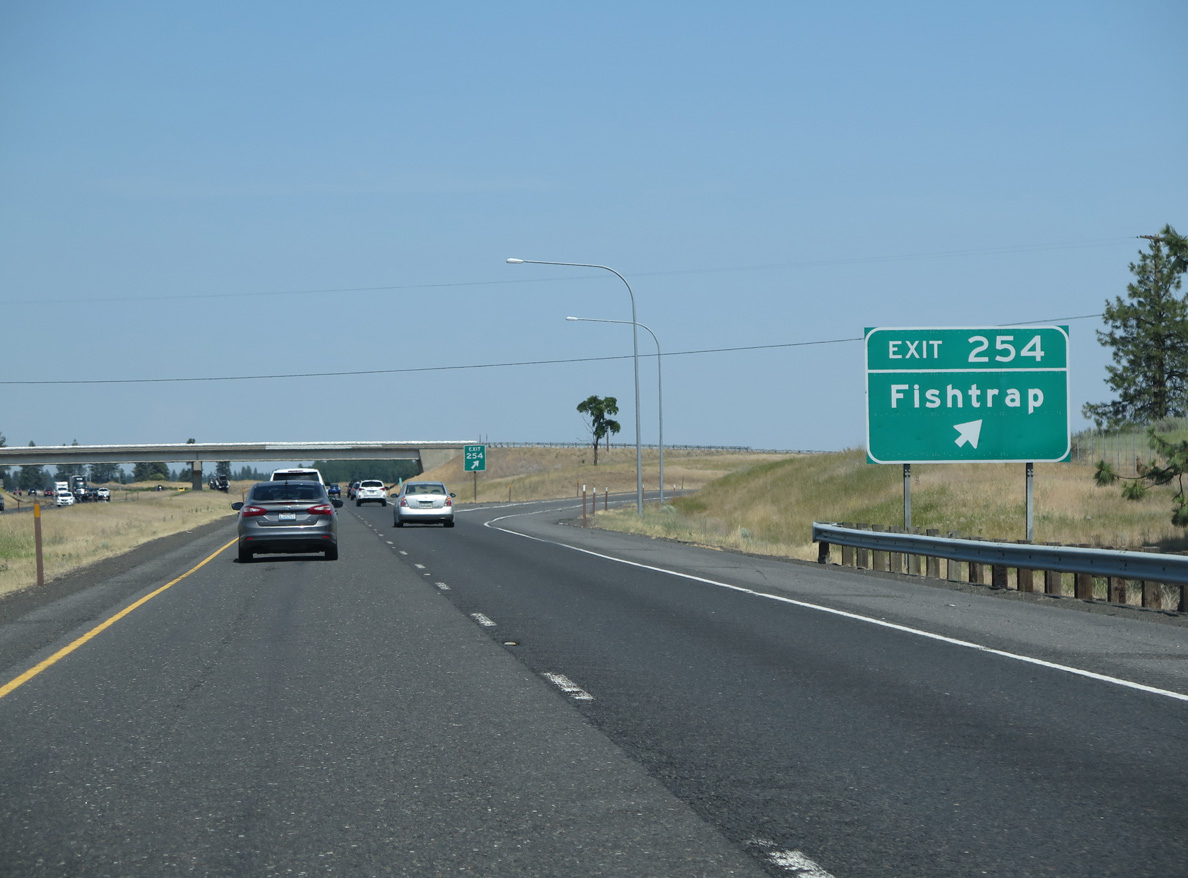
Fishtrap is a BNSF Railroad siding along Jack Brown Road to the east. Kallenberger Road ties into Exit 254 from rural areas to the west. Heading northeast from Exit 254, I-90/U.S. 395 directly overlay the former U.S. 10 alignment to Tyler.
06/28/15
06/28/15
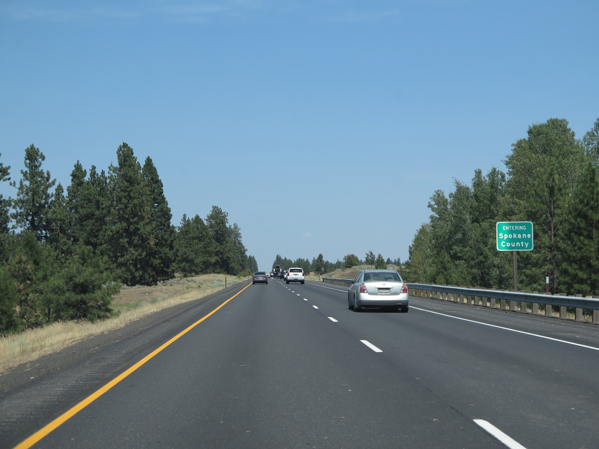
The easternmost 44 miles of Interstate 90 in Washington fall within Spokane County. The freeway enters the county north of Fishtrap.
06/28/15
06/28/15
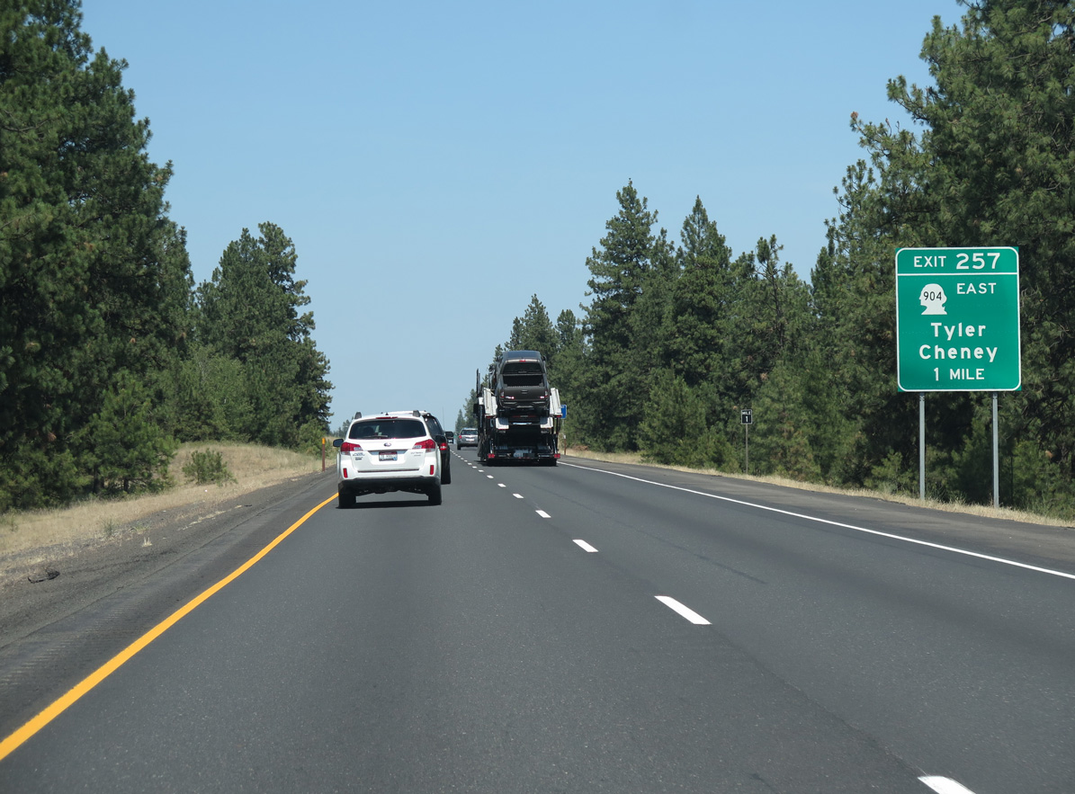
I-90/U.S. 395 east next meet the west end of SR 904 at the community of Tyler in one mile.
06/28/15
06/28/15
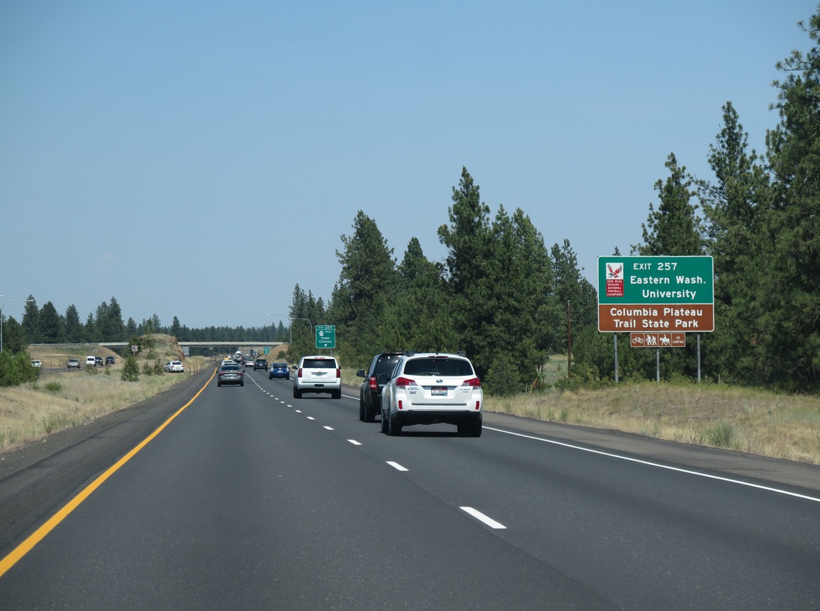
SR 904 branches east from I-90/U.S. 395 along the old alignment of U.S. 10/395 to the city of Cheney. Cheney is home to Eastern Washington University and the trail head of Columbia Plateau Trail State Park, a 130 mile linear park along the former Spokane, Portland and Seattle Railway.
06/28/15
06/28/15
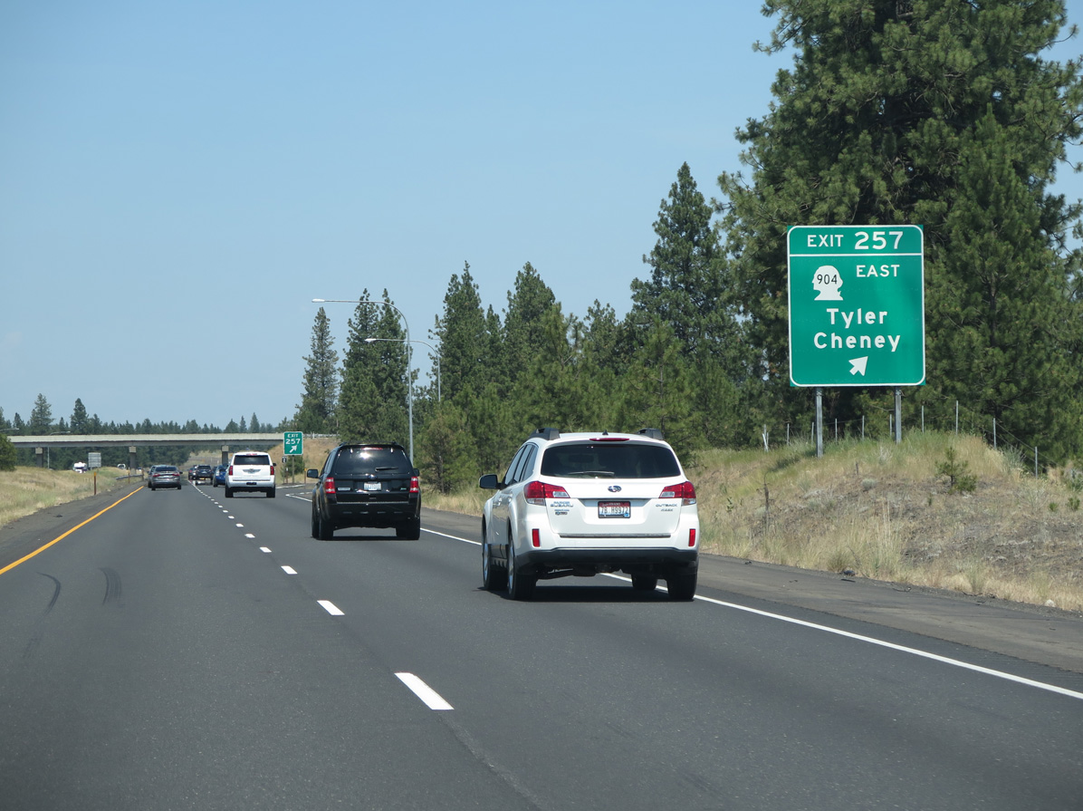
SR 904 loops 16.96 miles east from Exit 257 through Cheney before returning to I-90/U.S. 395 at Four Lakes. Malloy Prairie Road south and Boston Road east tie into Exit 257 from rural areas to the west.
06/28/15
06/28/15
Photo Credits:
- Andy Field: 06/28/15
Connect with:
Page Updated Thursday July 13, 2023.