
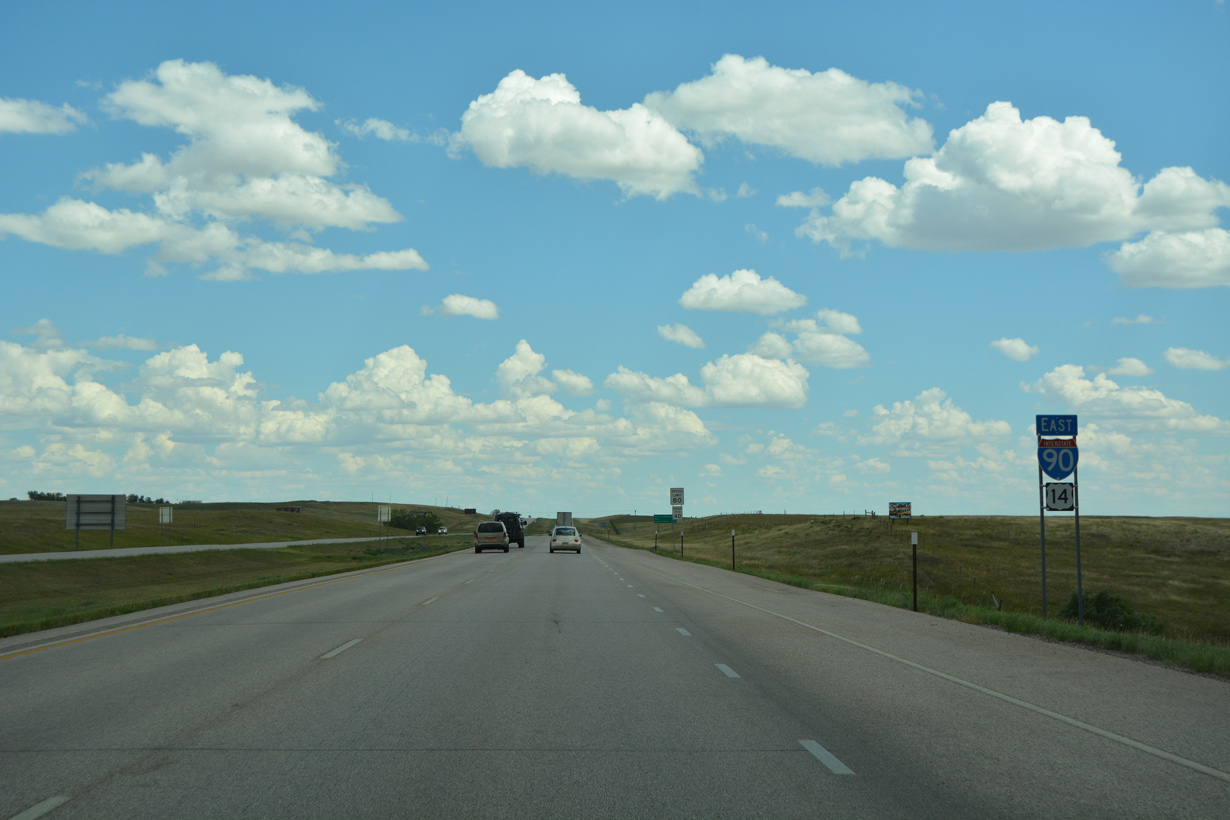
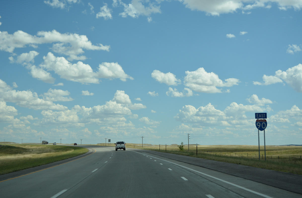
Interstate 90 East - Box Elder to Wall


 East
East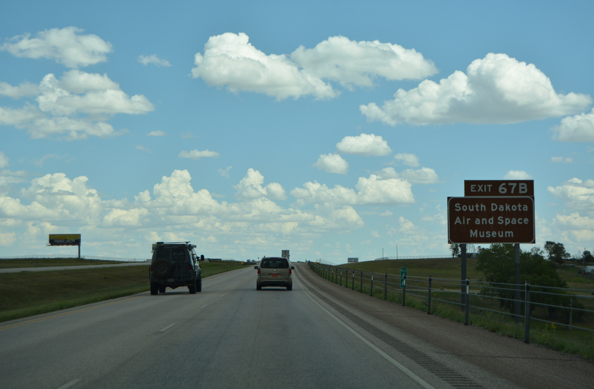
The South Dakota Air and Space Museum lies at the corner of Liberty Boulevard and Ellsworth Road ahead of the Main Gate to Ellsworth Air Force Base.
08/12/16
08/12/16
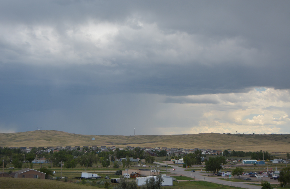
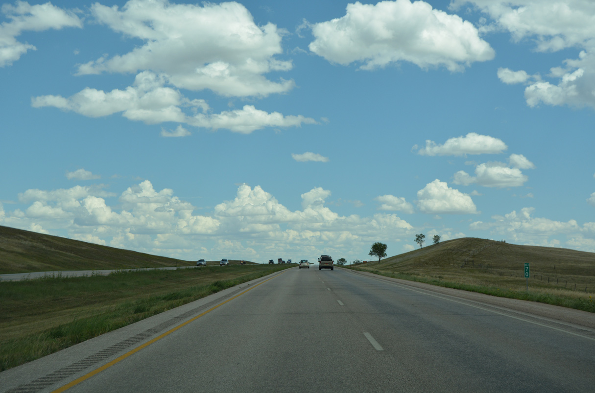
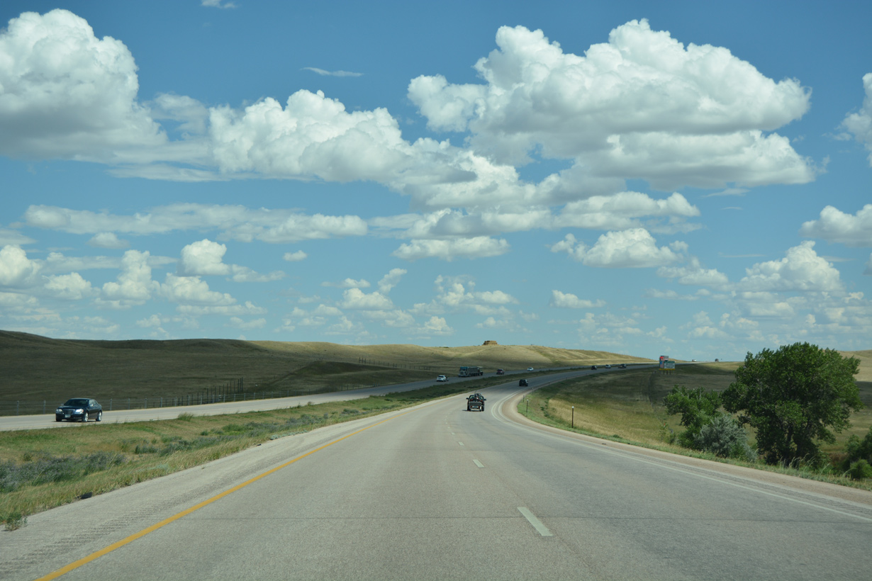
The Creekside Estates spreads south of the Box Elder city limits along Radar Hill Road (CR C212).
08/12/16
08/12/16
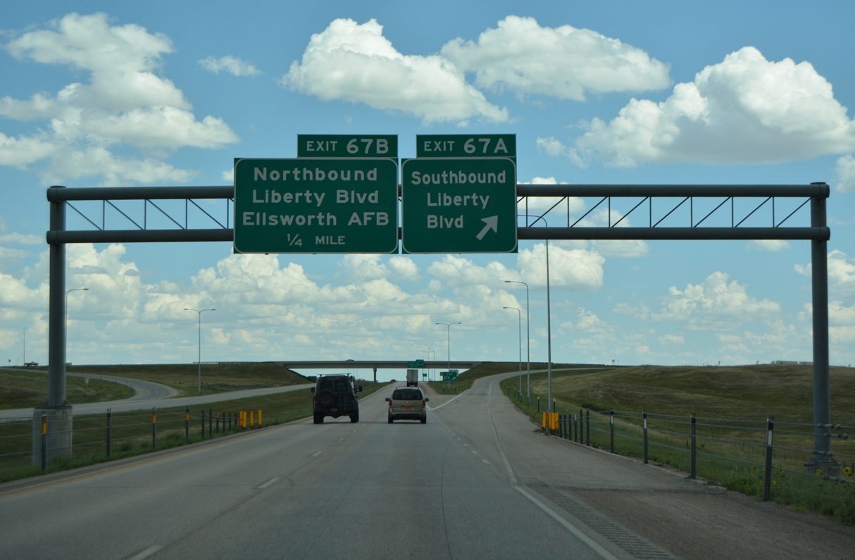
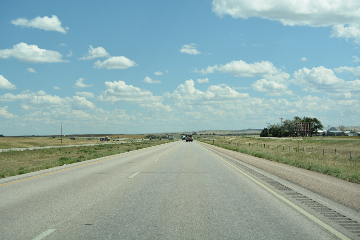
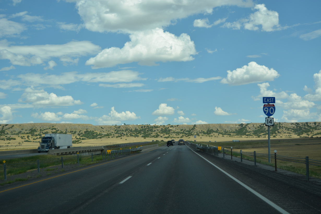
Liberty Boulevard extends south from Exit 67 A to Highway 1416 (old U.S. 14/16) in southeast Box Elder.
08/12/16
08/12/16
08/12/16

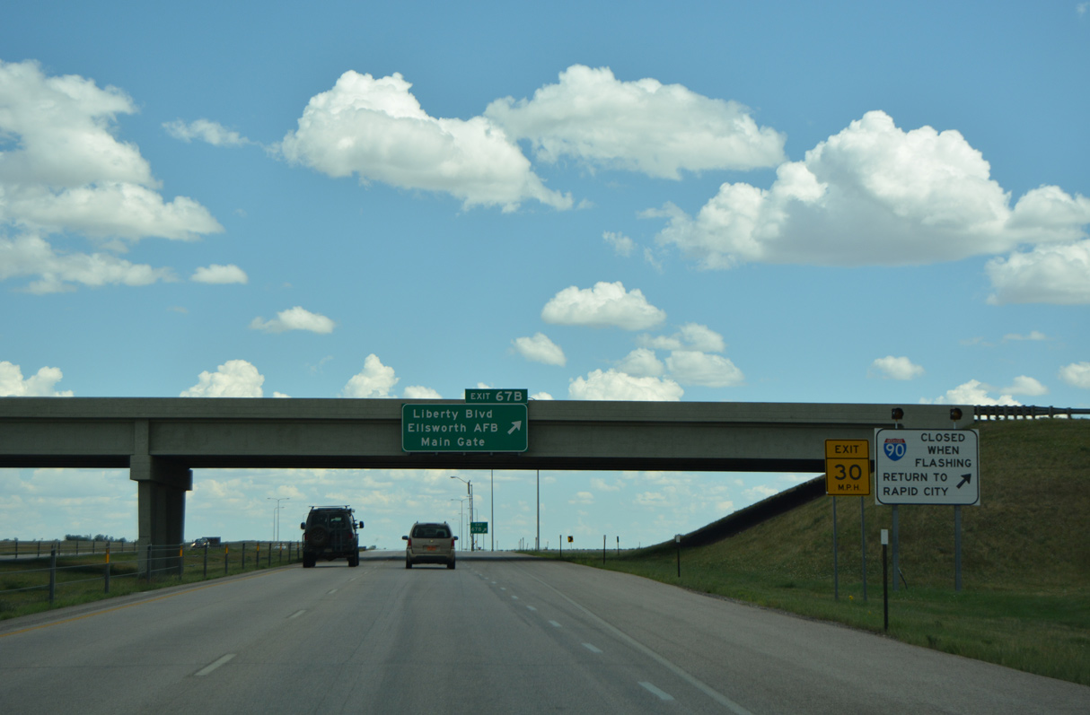
Liberty Boulevard arcs 1.8 miles northwest from the parclo interchange with I-90/U.S. 14 to the Ellsworth AFB Main Gate.
08/12/16
08/12/16
08/12/16
08/12/16
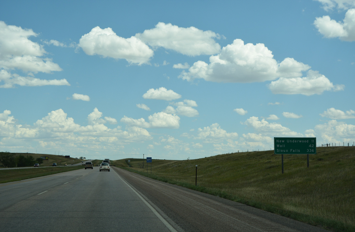
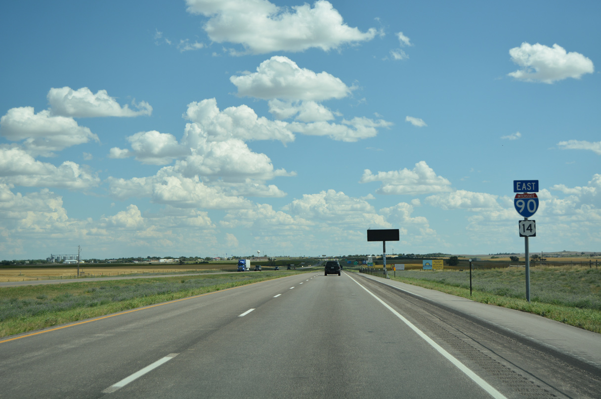
The succeeding exit along Interstate 90 east is for the city of New Underwood.
08/12/16
08/12/16
08/12/16

Highway 1416 (old U.S. 14/16) parallels I-90/U.S. 14 a half mile to the south.
08/12/16
08/12/16
08/12/16
08/12/16
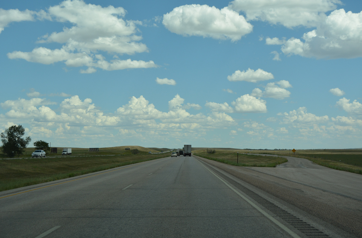
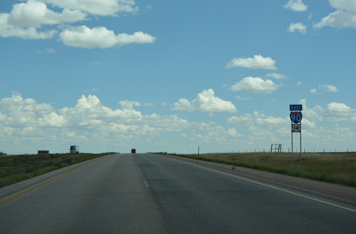
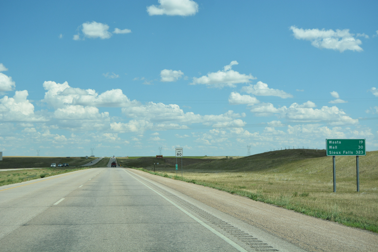
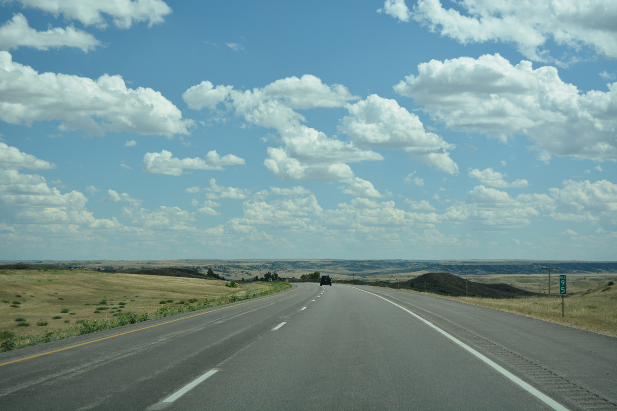
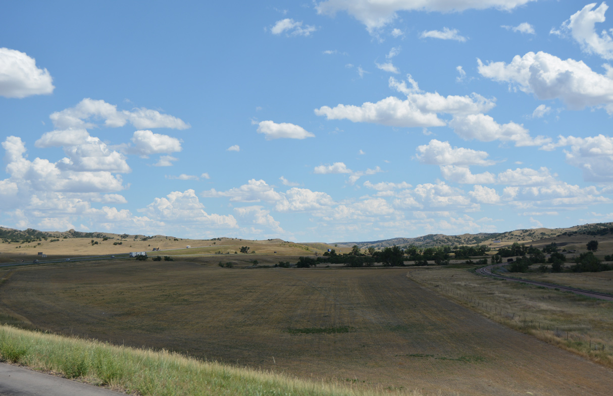
I-90/U.S. 14 shift one mile southward.
08/12/16
08/12/16
08/12/16
08/12/16
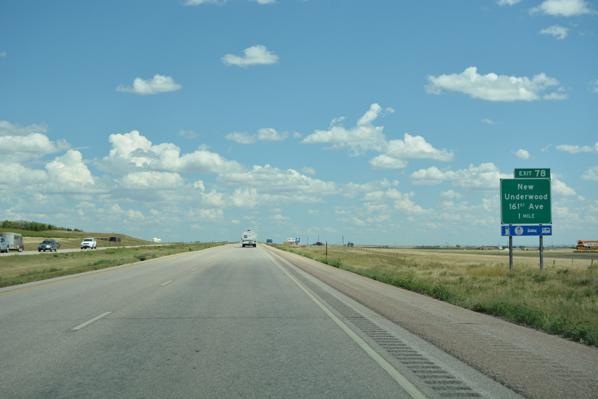
161st Avenue stems a half mile north from Highway 1416 at New Underwood to the diamond interchange at Exit 78.
08/12/16
08/12/16

08/12/16

08/12/16
08/12/16
08/12/16
08/12/16
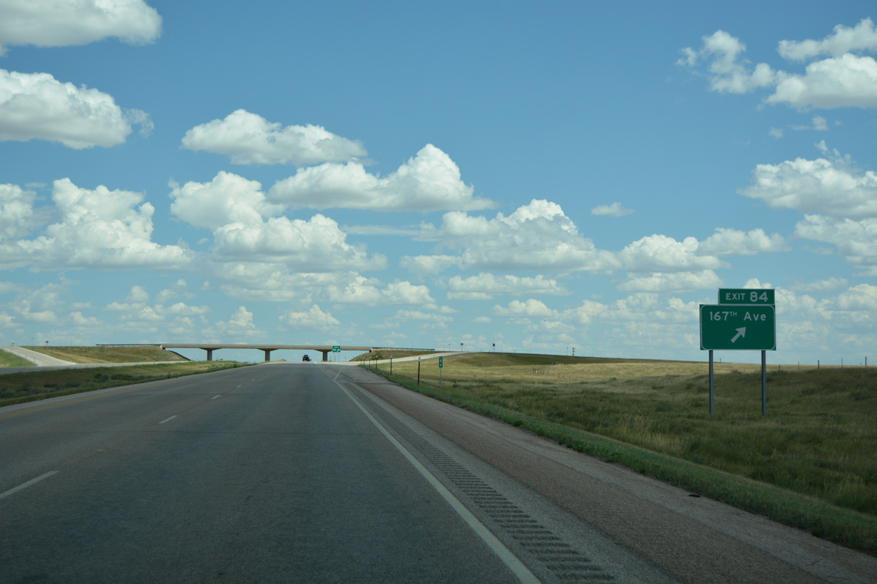
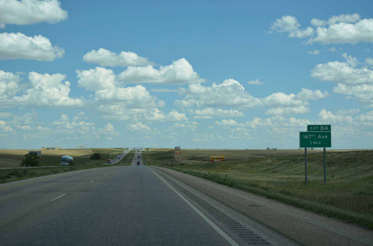
167th Avenue heads a half mile north from Highway 1416 to the diamond interchange at Exit 84.
08/12/16
08/12/16

08/12/16
08/12/16
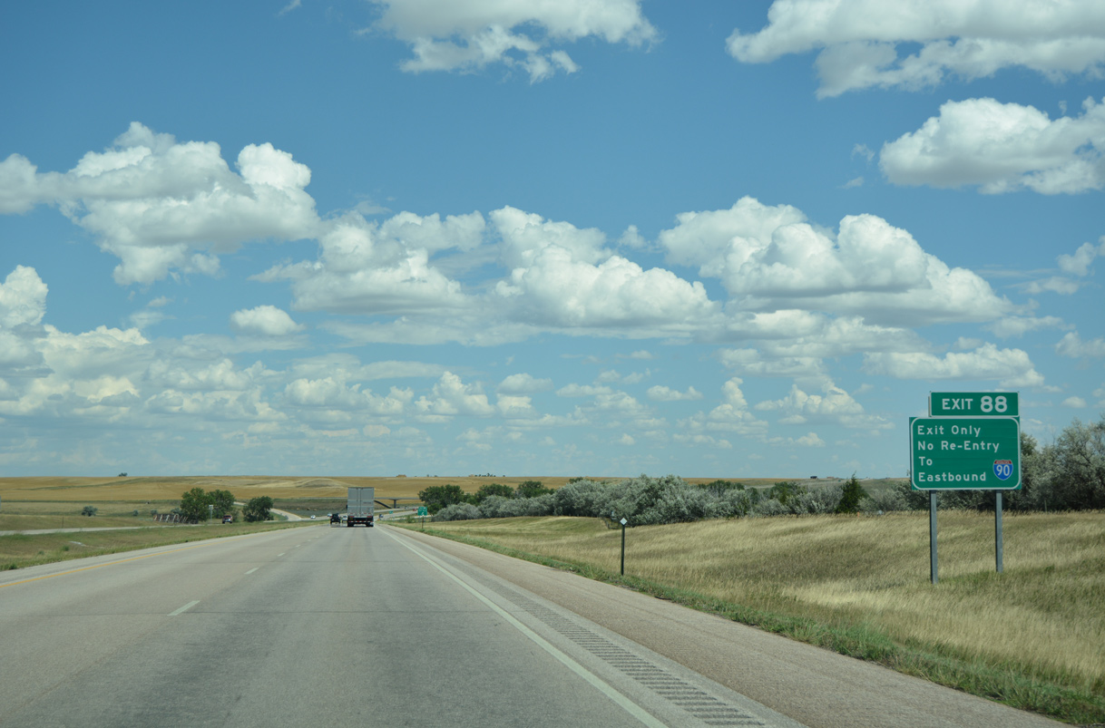
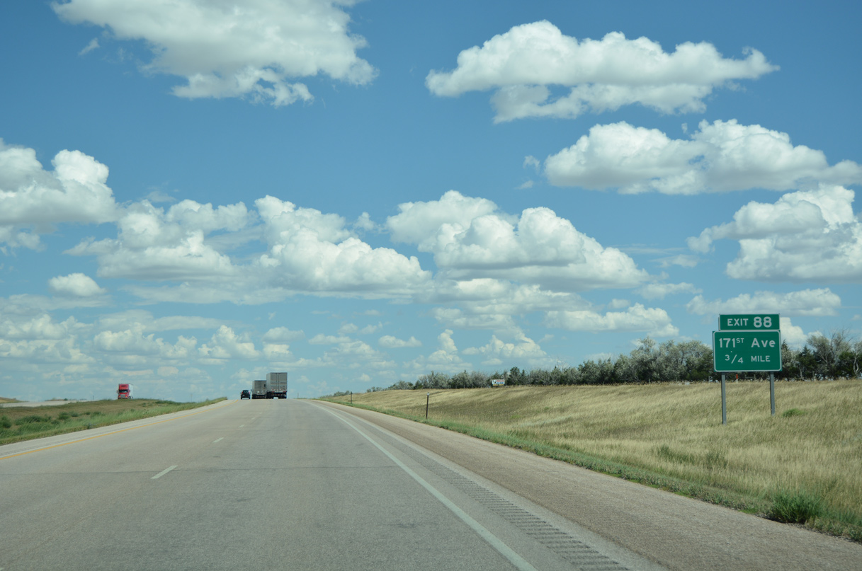
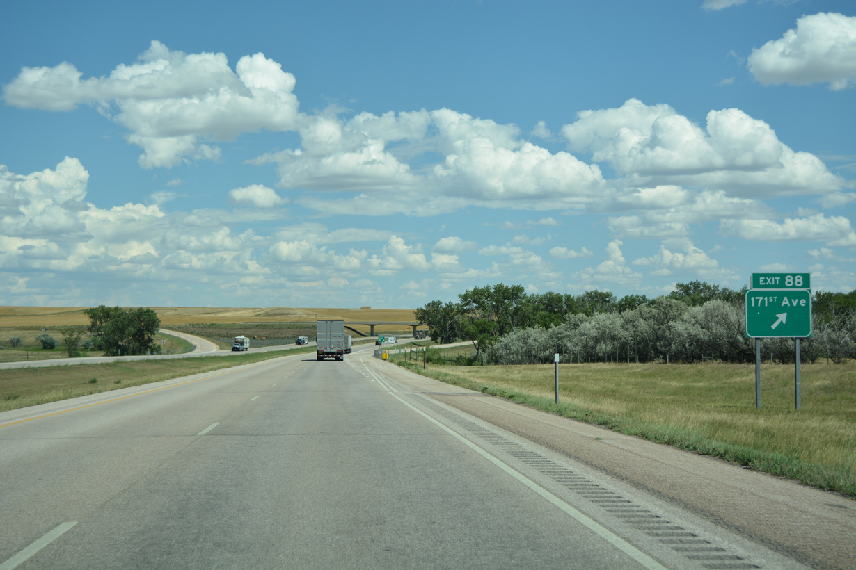
Exit 88 is a half diamond interchange with 171st Avenue.
08/12/16
08/12/16
08/12/16
08/12/16
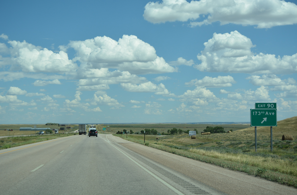
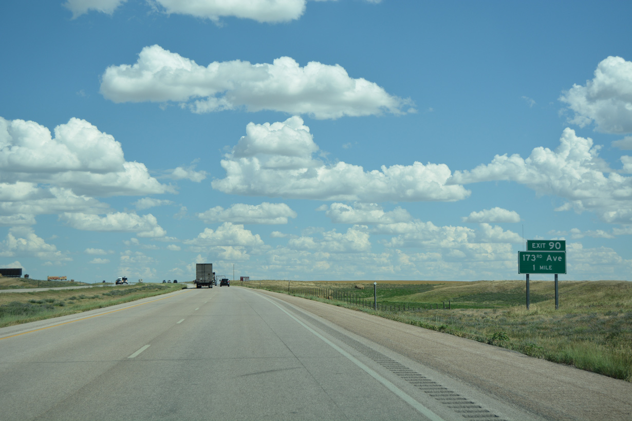
173rd Avenue heads a half mile south from the diamond interchange at Exit 90 to Highway 1416 at Wicksville.
08/12/16
08/12/16
08/12/16
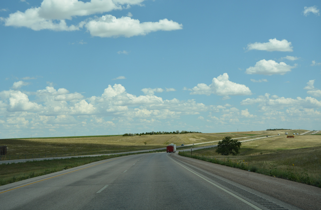
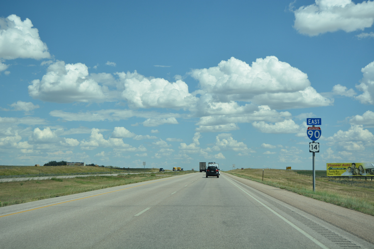
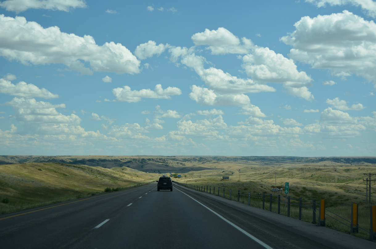
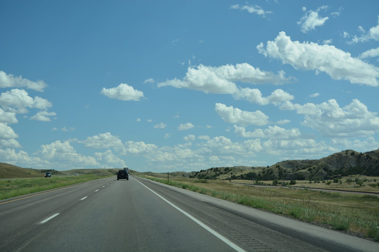
I-90/U.S. 14 curve southeast past Hawk Canyon on the ensuing stretch.
08/12/16
08/12/16
Interstate 90 was constructed directly over old U.S. 14/16 southeast into Wasta.
08/12/16
08/12/16
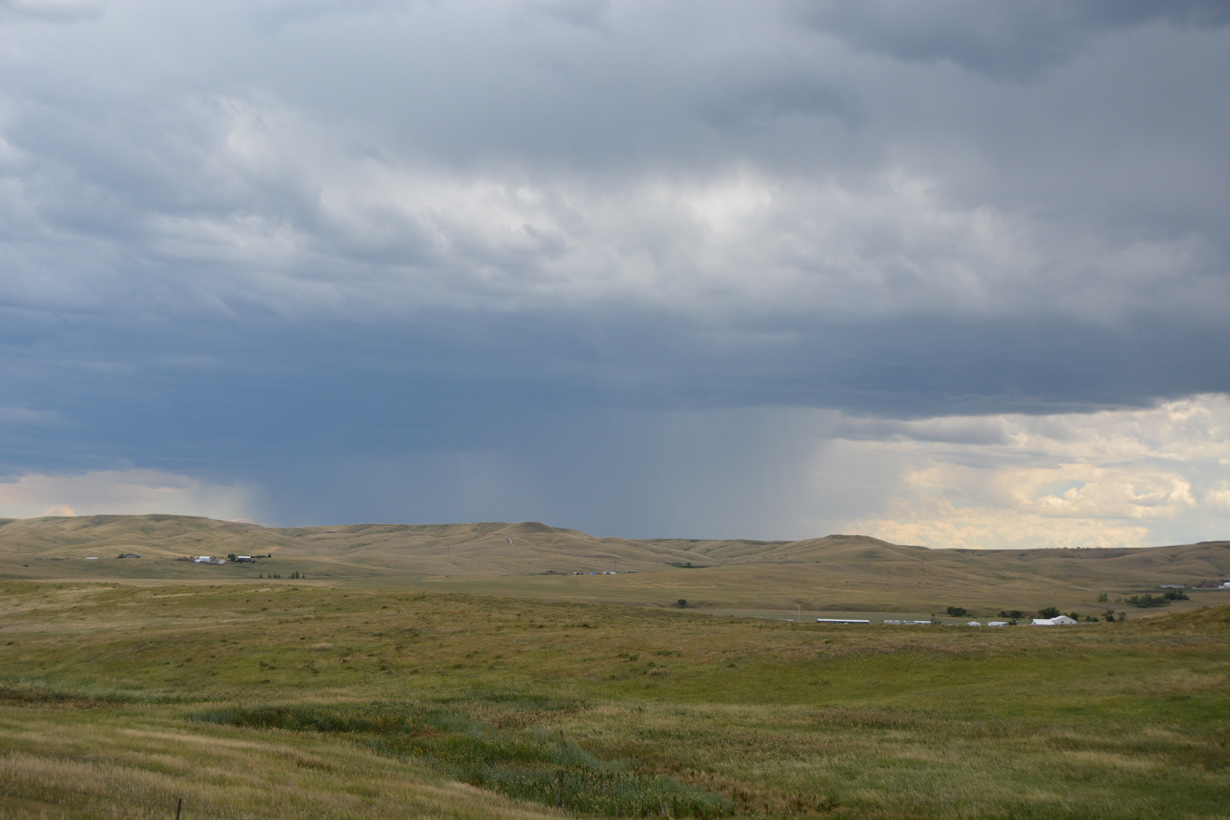
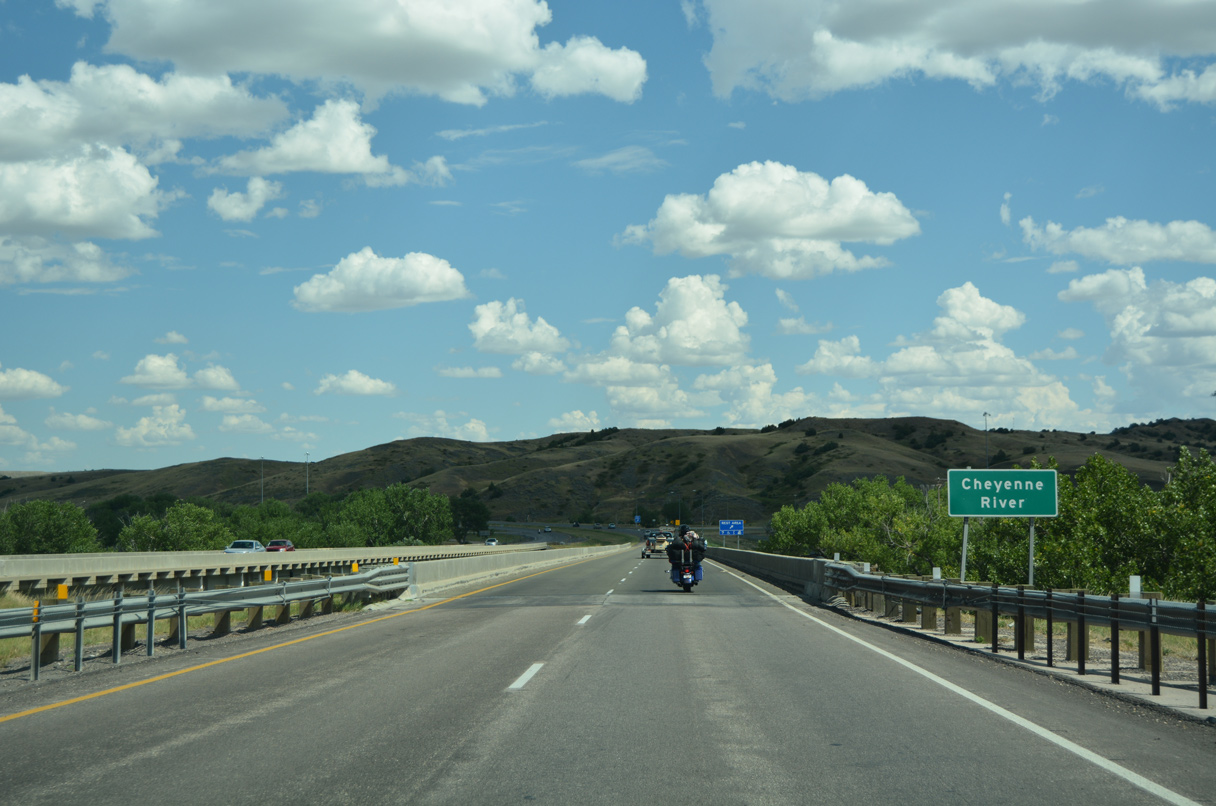
Lowering southeast into the town of Wasta, Interstate 90 drops from around 2,800 feet above sea level to 2,300 feet in elevation at the Cheyenne River.
08/12/16
08/12/16
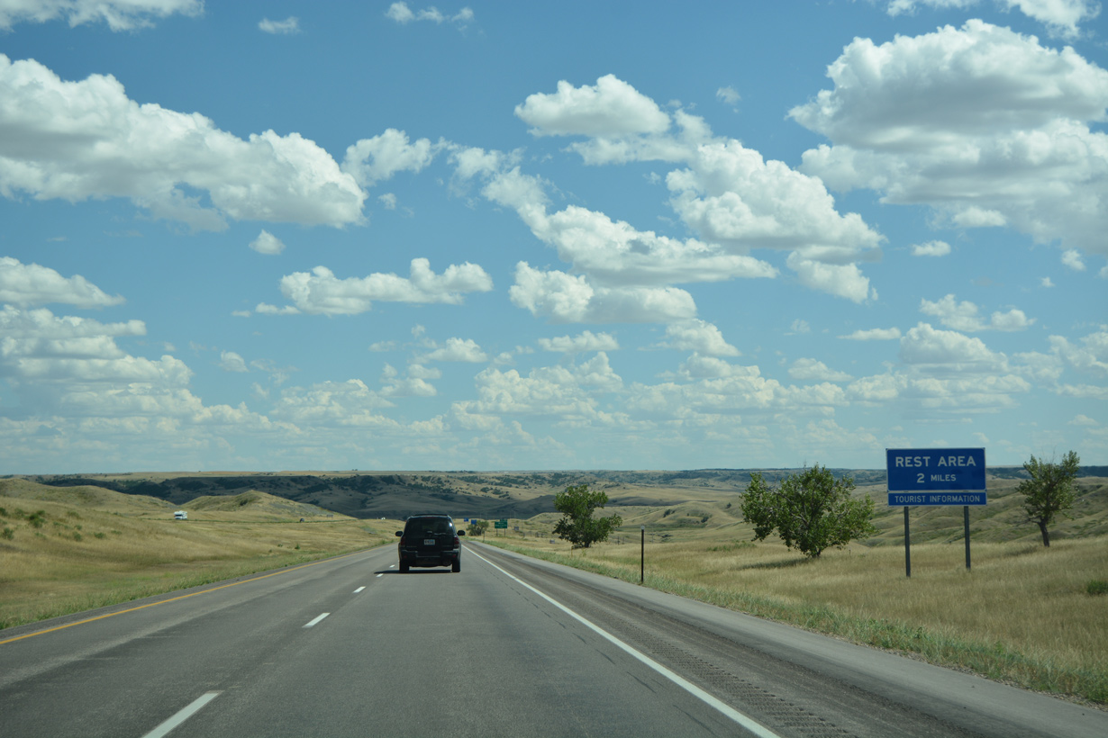
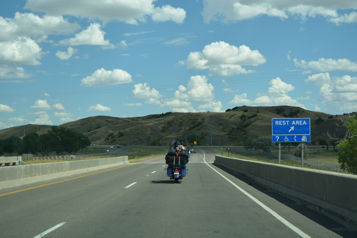
The second rest area along Interstate 90 in South Dakota follows the Cheyenne River at Wasta.
08/12/16
08/12/16
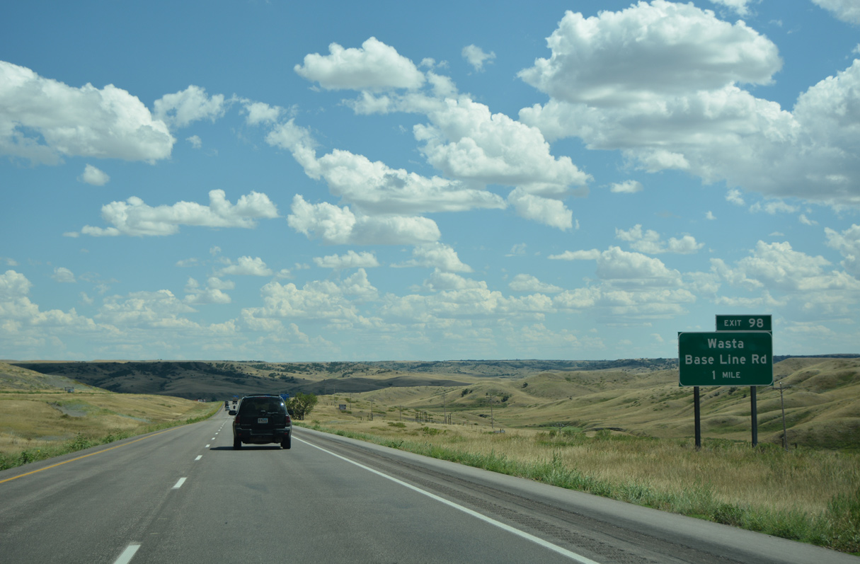
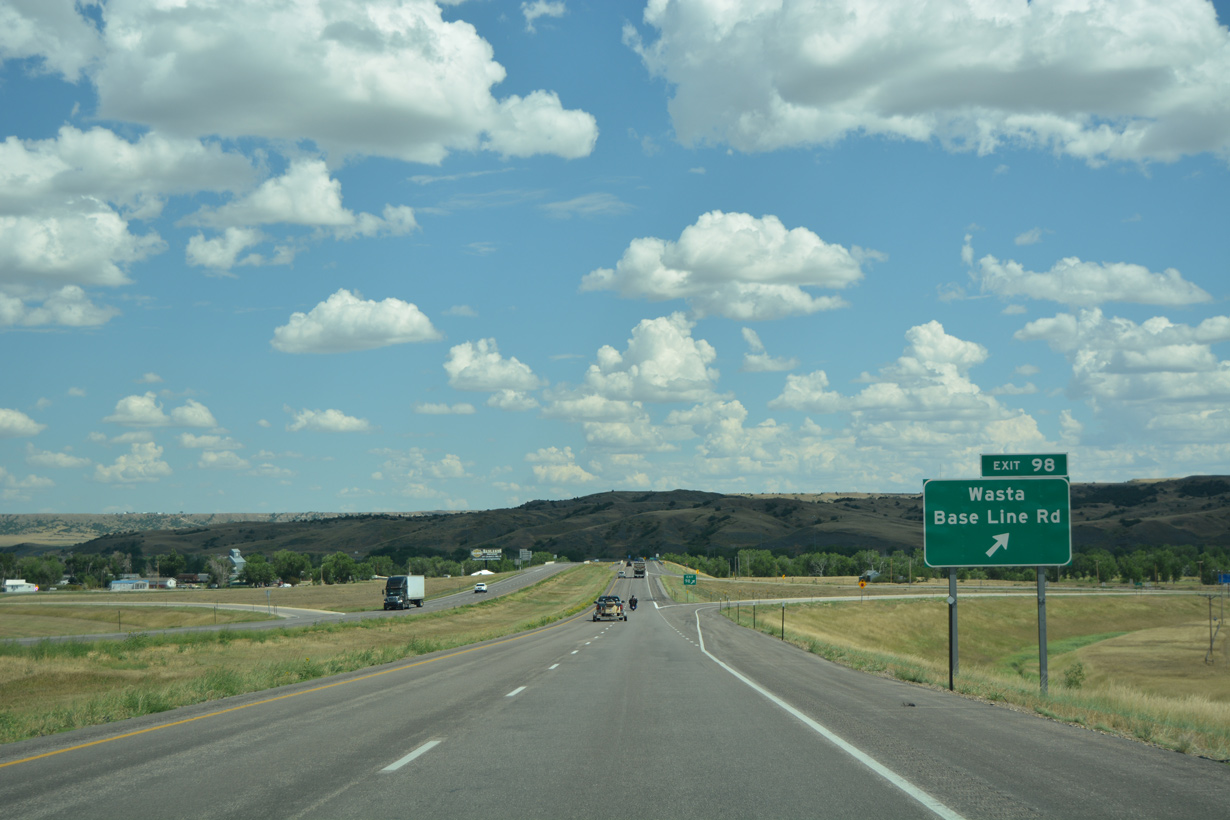
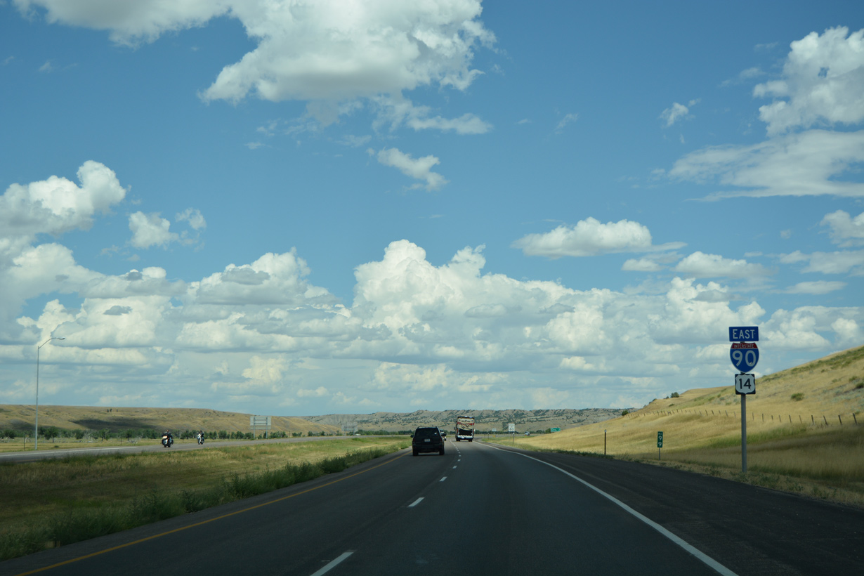
A folded diamond interchange (Exit 98) joins I-90/U.S. 14 with Base Line Road and C Avenue in Wasta.
08/12/16
08/12/16

08/12/16
08/12/16
08/12/16
08/12/16
08/12/16

08/12/16
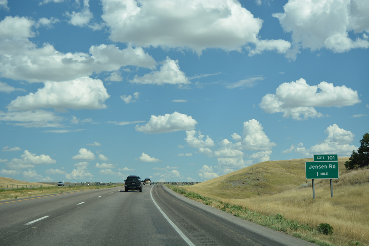
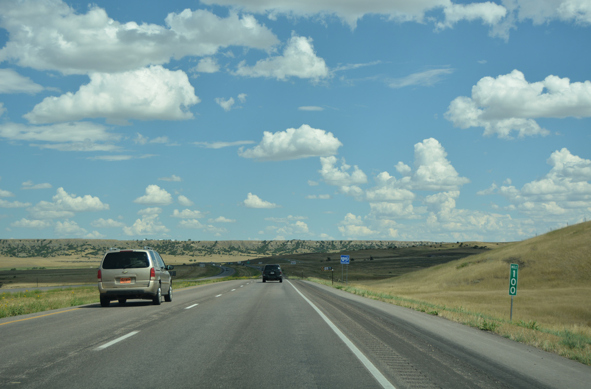
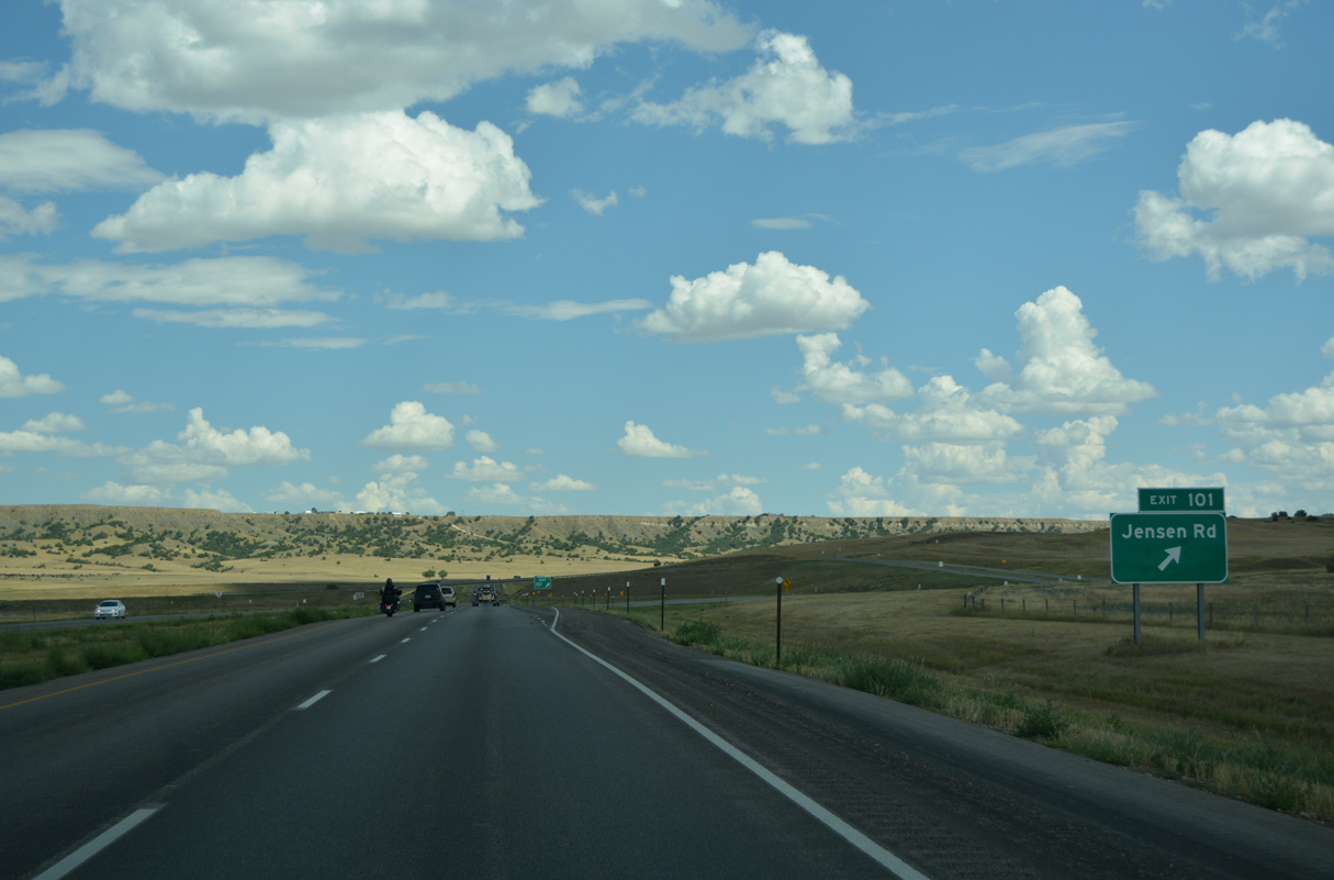
Interstate 90 makes an S-curve northward to run alongside the Cheyenne River a mile from the folded diamond interchange (Exit 101) with Jensen Road.
08/12/16
08/12/16
08/12/16
08/12/16
I-90/U.S. 14 cross Bull Creek and a CP Rail Systems line just east of Exit 101.
08/12/16
08/12/16
08/12/16
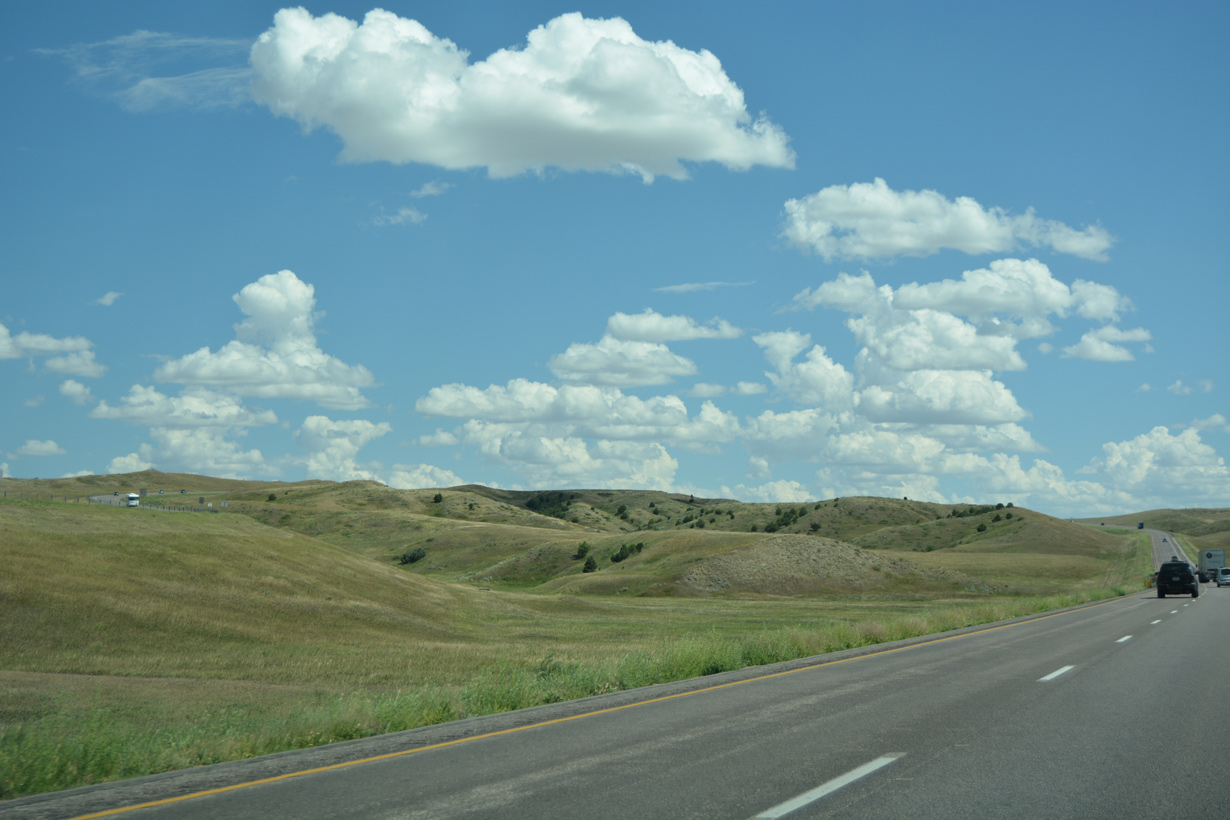
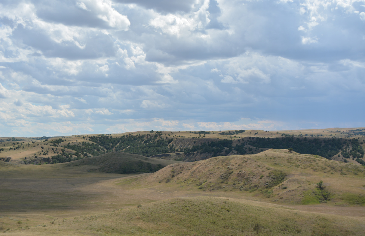
Turning southeast toward Wall, a wide median separates the roadways of Interstate 90 east of Bull Creek.
08/12/16
08/12/16
08/12/16
08/12/16
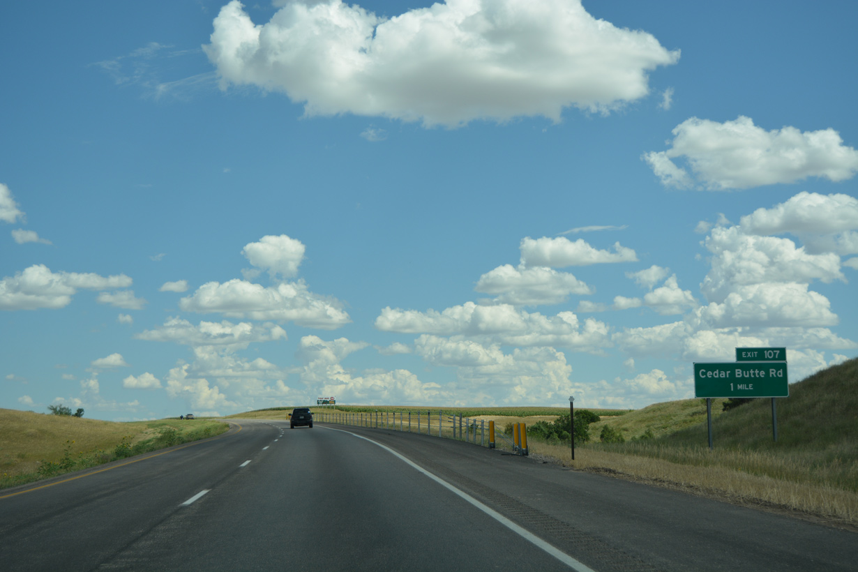
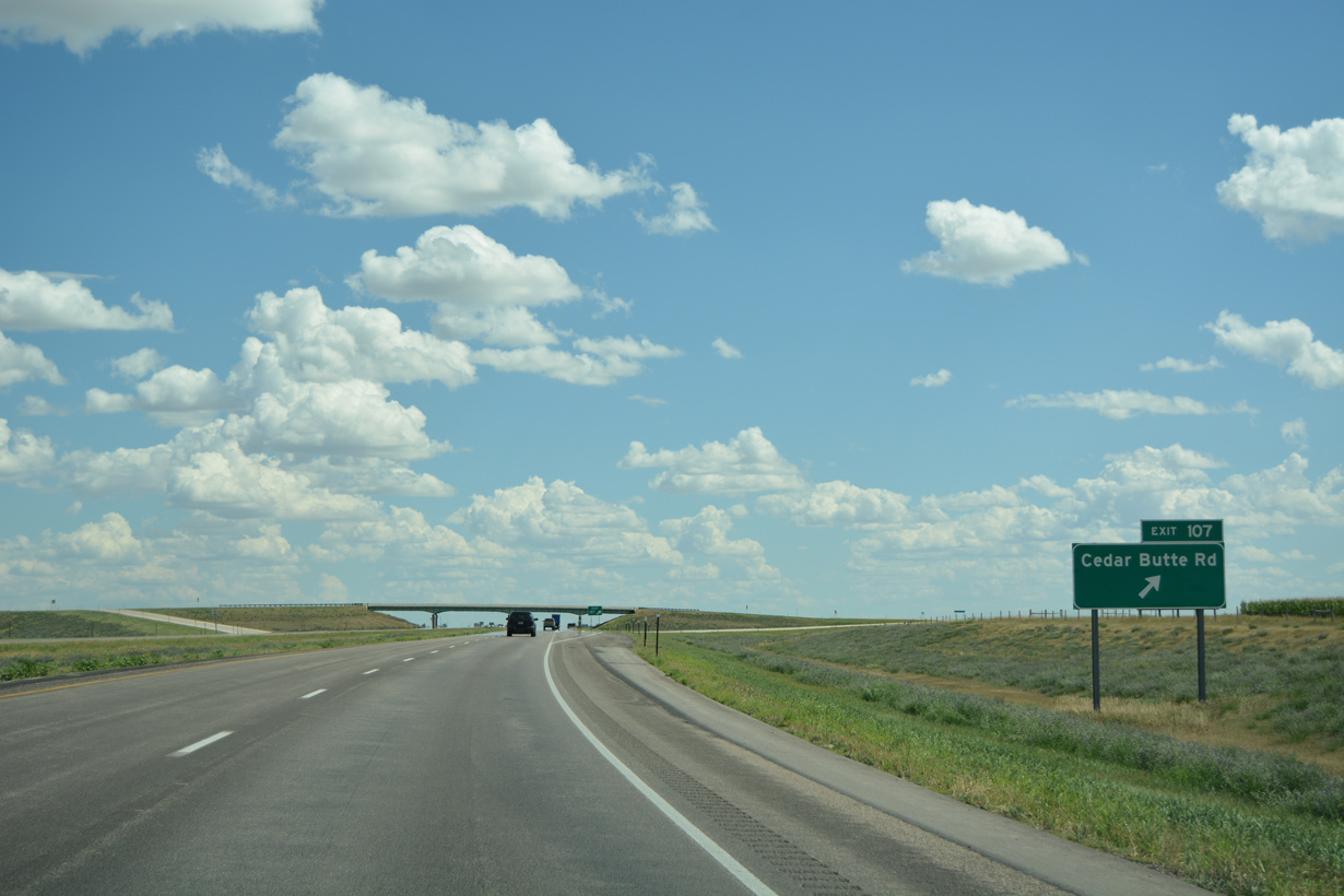
The roadways of Interstate 90 converge ahead of the diamond interchange (Exit 107) with Cedar Butte Road.
08/12/16
08/12/16
08/12/16
08/12/16
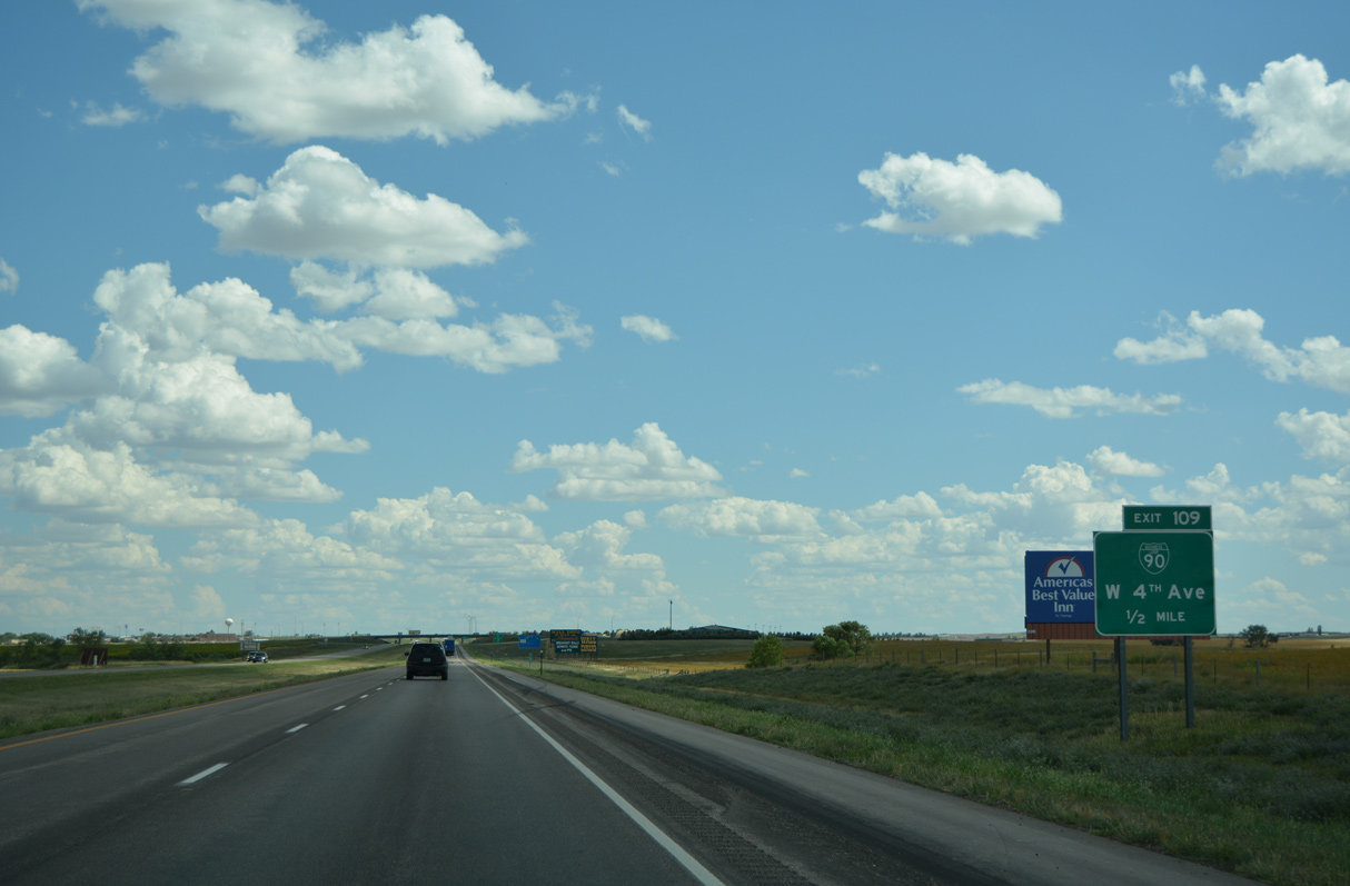
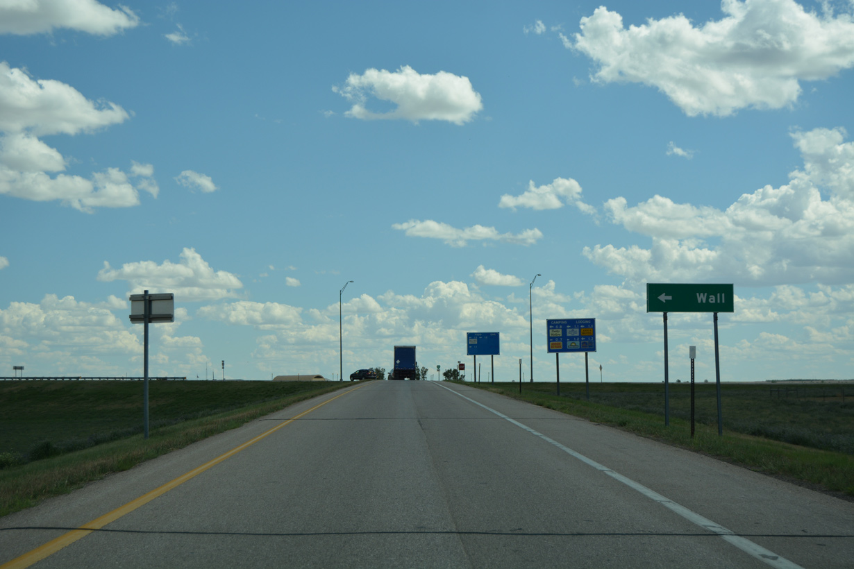
The two exits for the city of Wall connect I-90/U.S. 14 with Business Loop I-90.
08/12/16
08/12/16
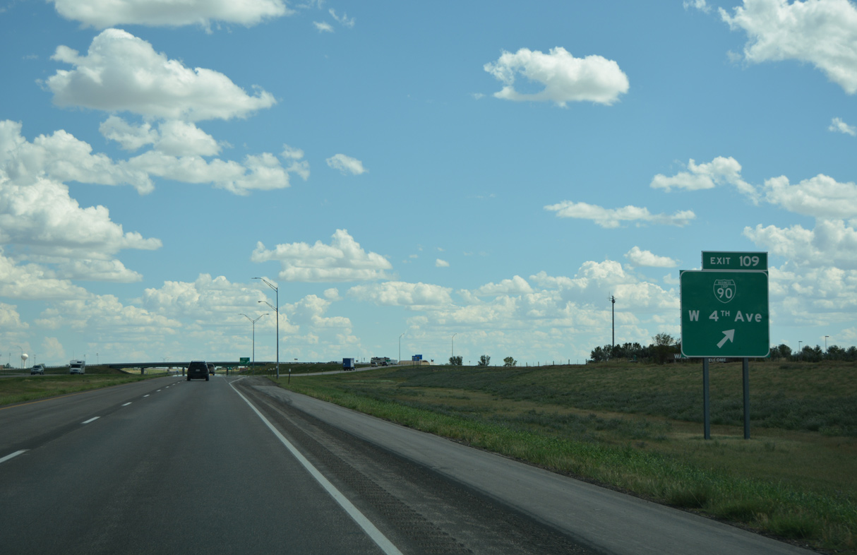
Business Loop I-90 at Wall follows a 1.4 mile long route on W 4th Avenue, South Boulevard and Glenn Street.
08/12/16
08/12/16
Old U.S. 14/16 through Wall originally followed Airport Road south from 190th Avenue past Wall Municipal Airport to 4th Avenue east. Glenn Street south was formerly part of U.S. 16 ALT.
08/12/16
08/12/16
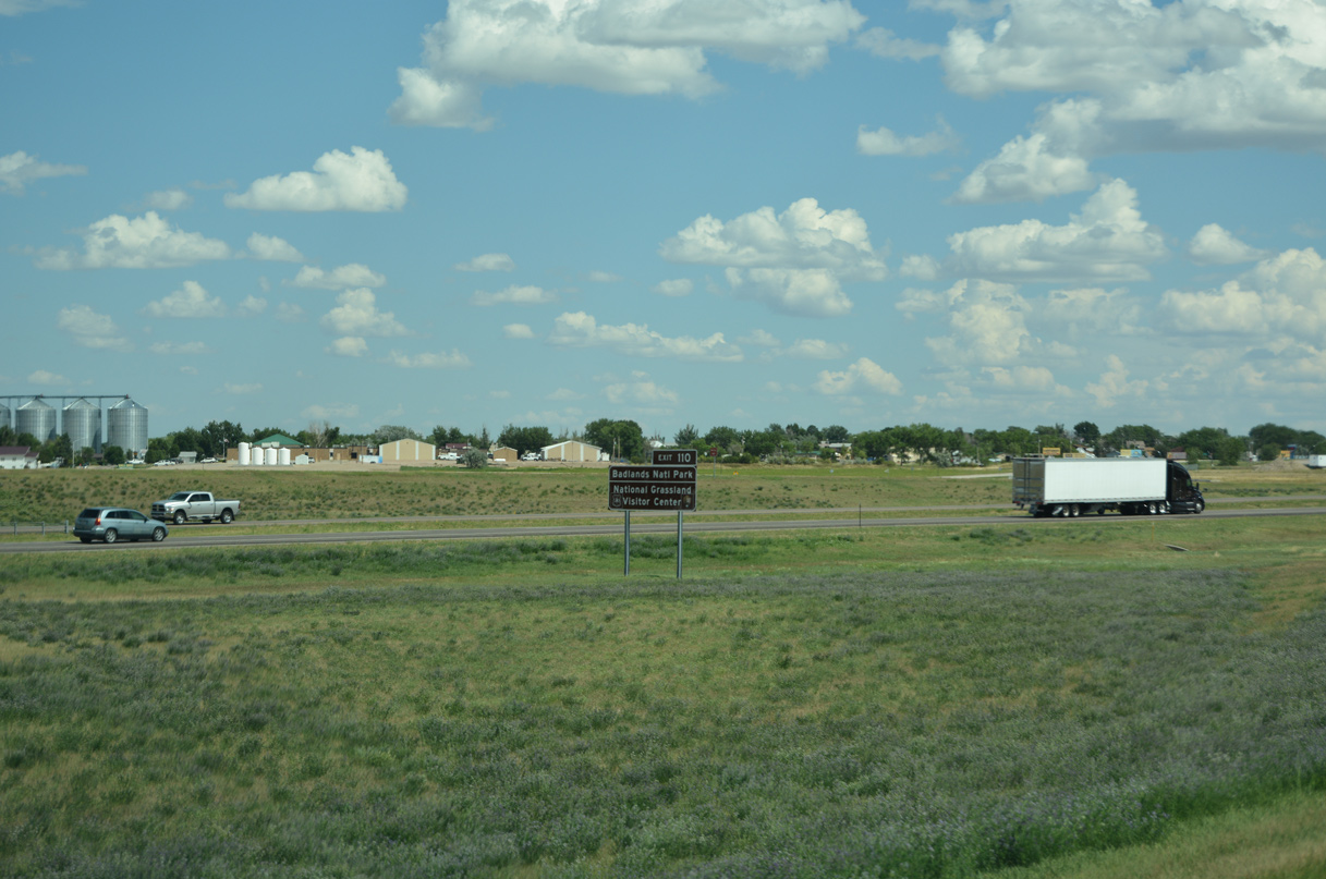
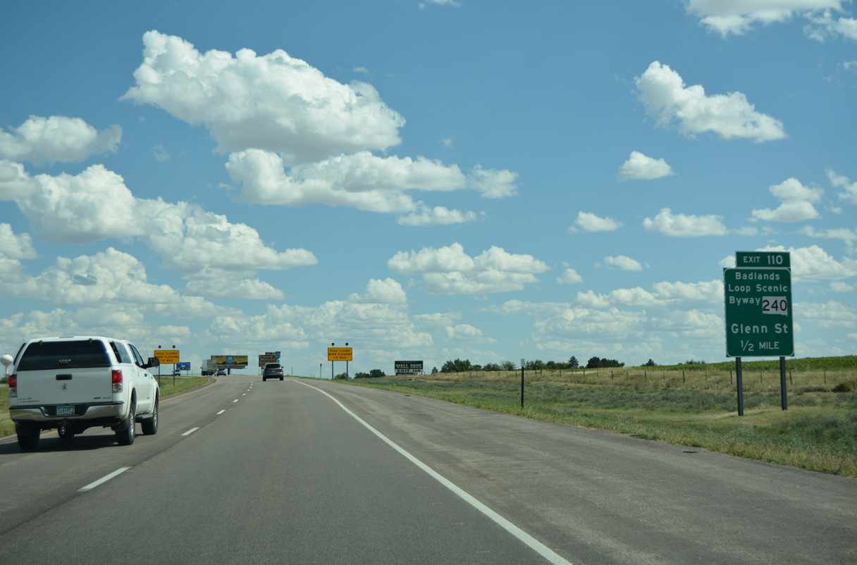
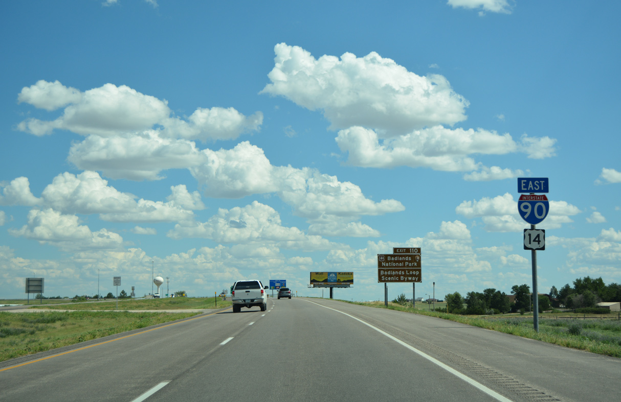
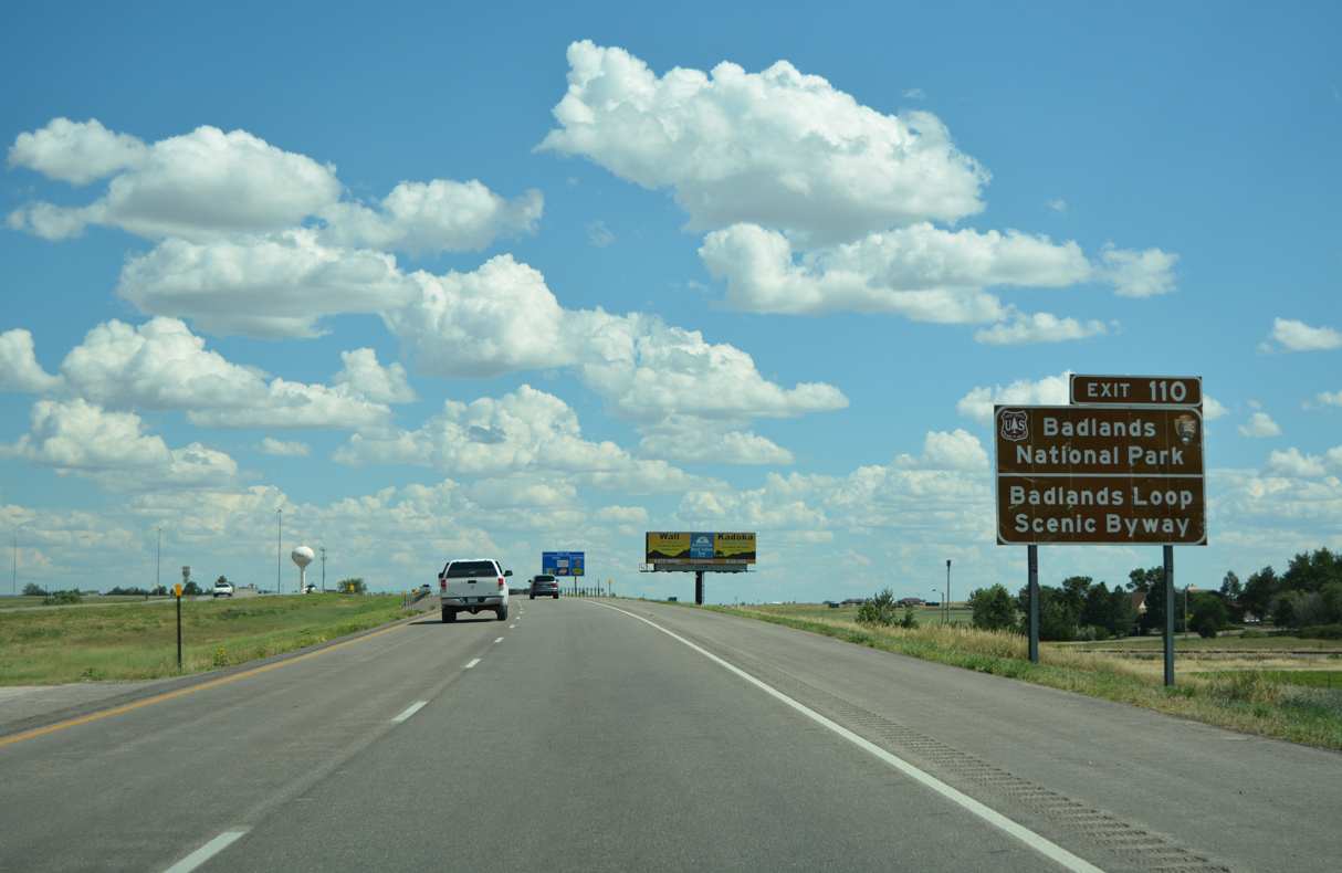
SD 240 extends south from Business Loop I-90 and Exit 110 to Badlands National Park.
08/12/16
08/12/16
Part of the Badlands Loop Scenic Byway, SD 240 comprises a 40.32 mile long highway from Exit 109 in Wall to Exit 131 at Cactus Flats.
08/12/16
08/12/16
08/12/16
08/12/16
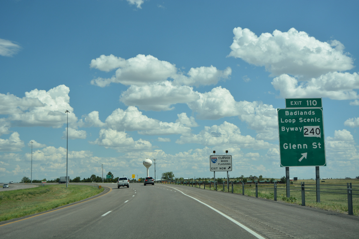
Entering the diamond interchange (Exit 110) with Business Loop I-90 (Glen Street) west and SD 240 on I-90/U.S. 14 west. SD 240 replaced what was U.S. 16 ALT.
08/12/16
08/12/16
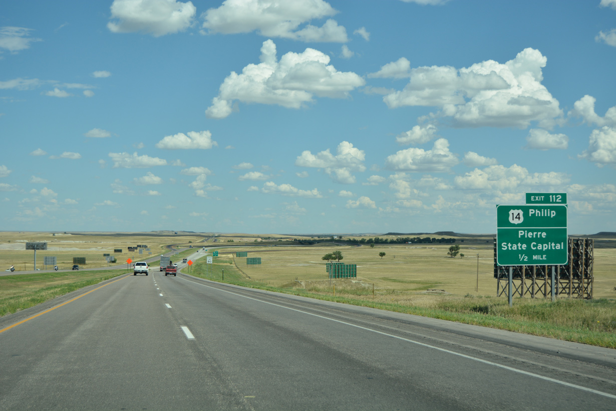
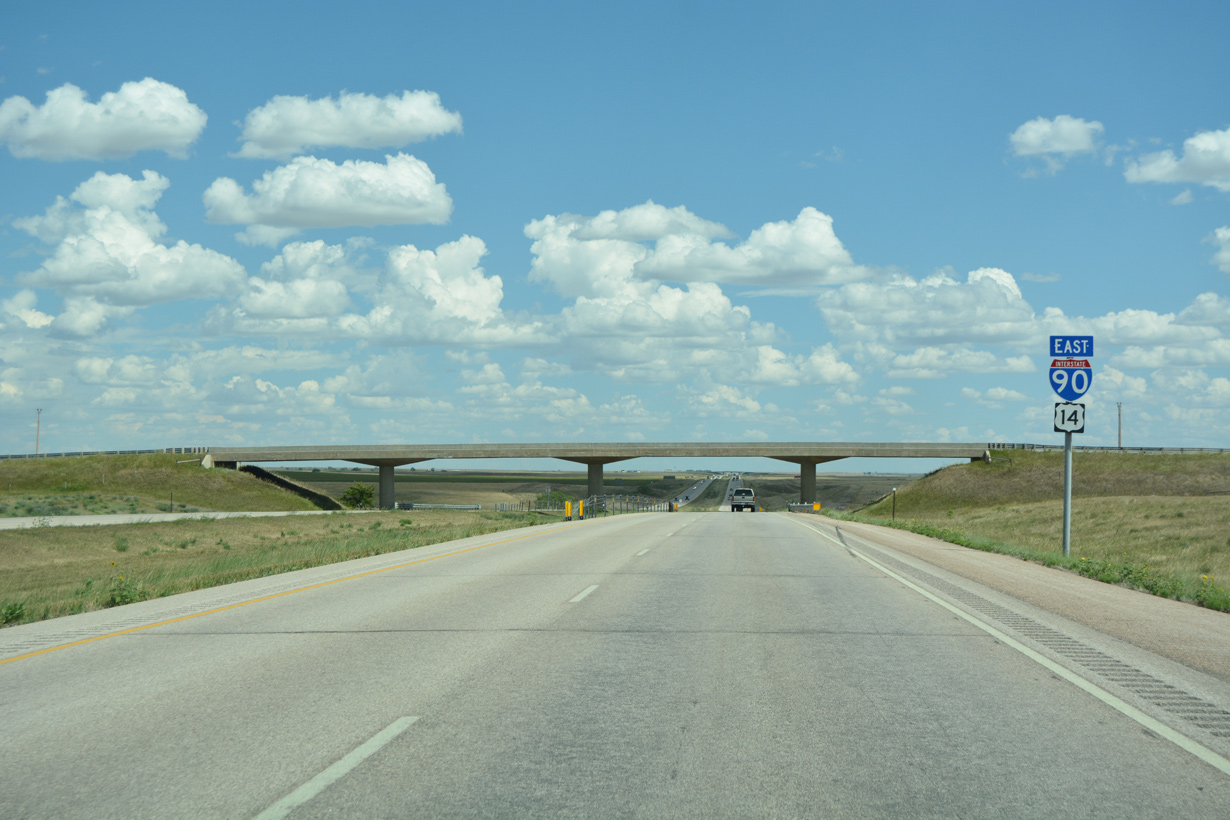
U.S. 14 branches east from Interstate 90 at a trumpet interchange (Exit 112) just east of Wall.
08/12/16
08/12/16
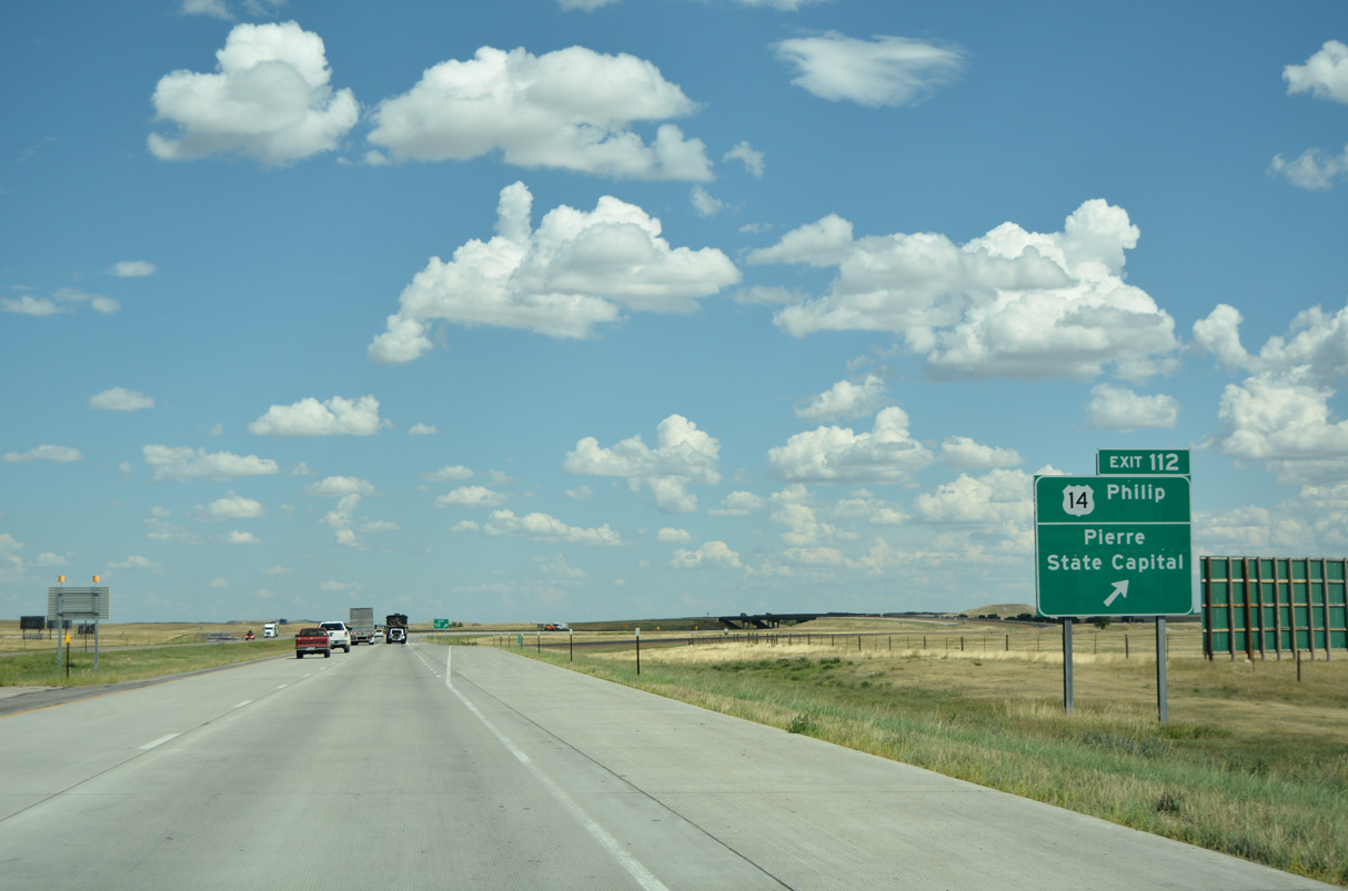
U.S. 14 travels 114.56 miles northeast to U.S. 83 at the capital city of Pierre via Philip and Midland. Originally a two-wye interchange with a left ramp connected I-90/U.S. 14-16 here.
08/12/16
08/12/16
East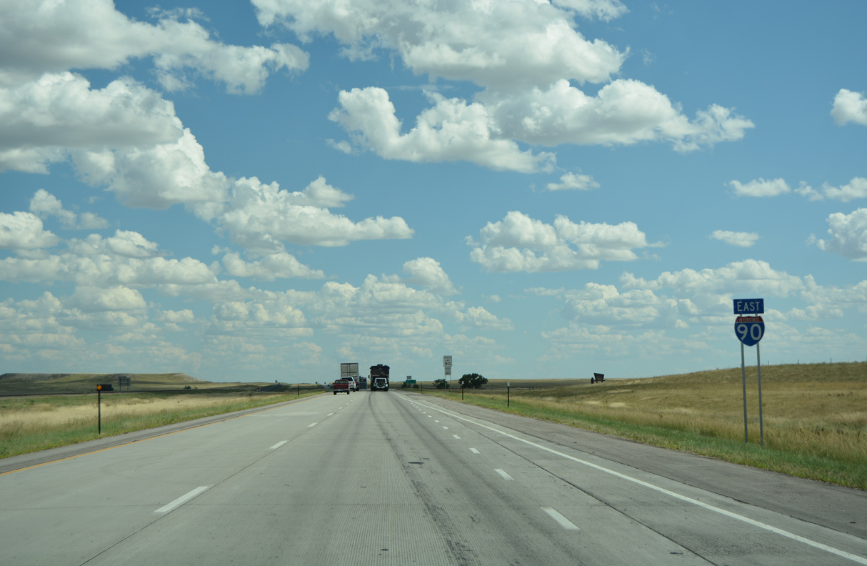
08/12/16
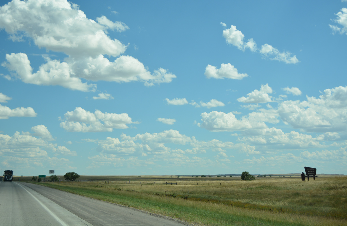
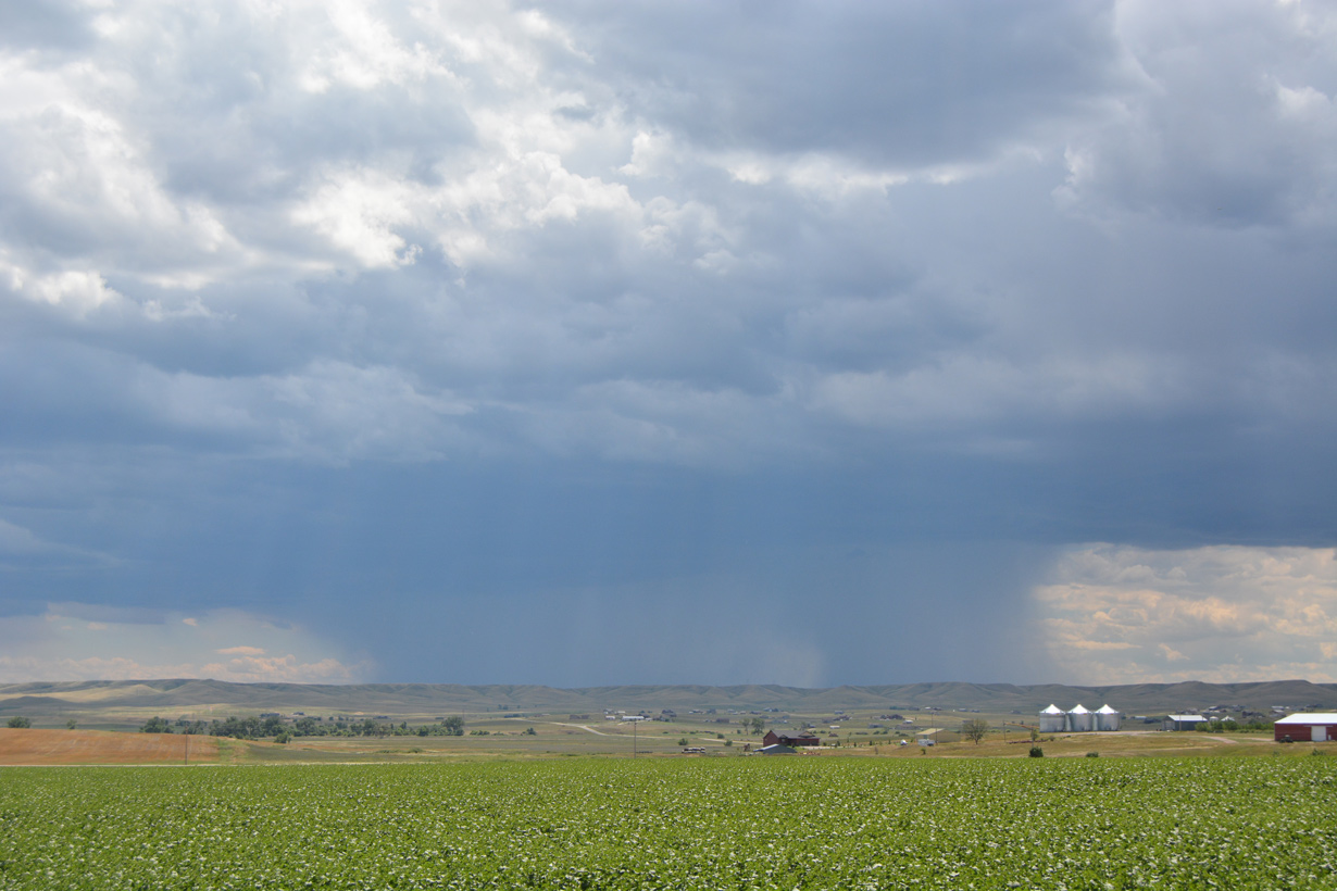
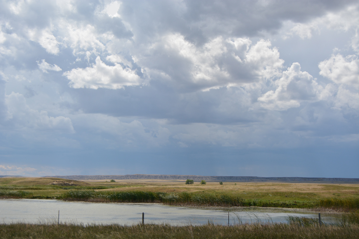
Interstate 90 continues southeast from U.S. 14 over the historic alignment of U.S. 16 across Buffalo Gap National Grassland.
08/12/16
08/12/16
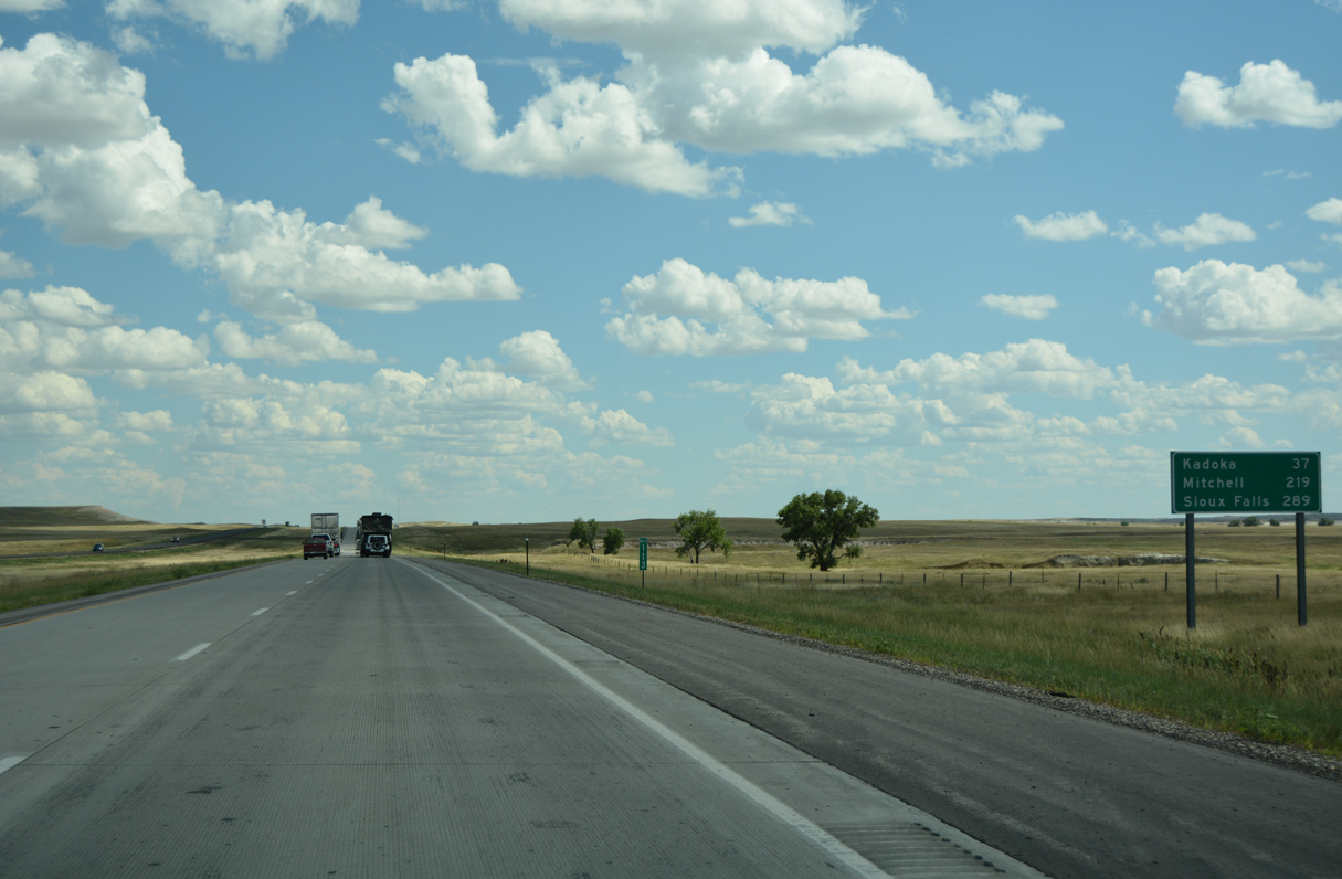
The Jackson County seat of Kadoka is 37 miles southeast of Wall.
08/12/16
08/12/16
08/12/16
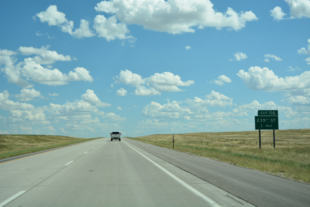
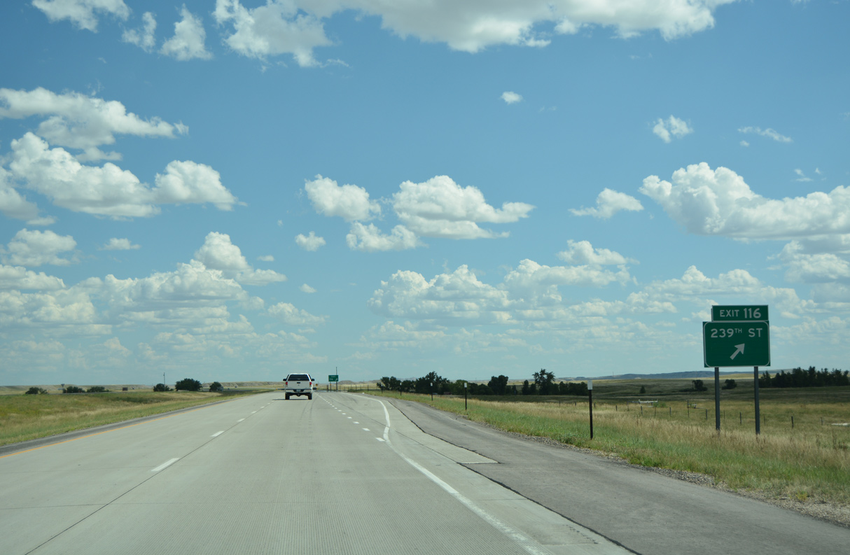
The diamond interchange (Exit 116) with 239th Street joins Interstate 90 with area ranch land and Buffalo Gap National Grassland.
08/12/16
08/12/16
08/12/16
08/12/16
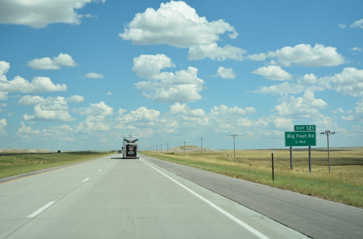
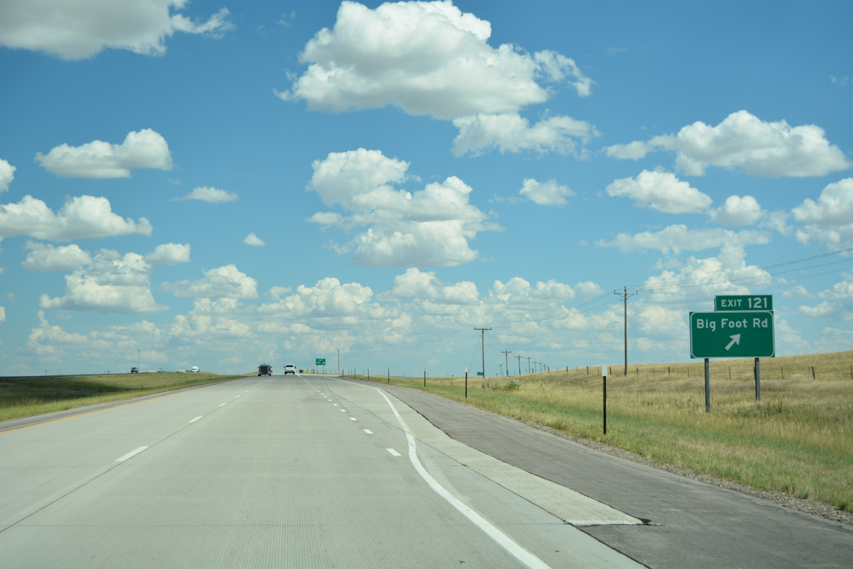
Big Foot Road heads south from Street Hill to the diamond interchange at Exit 121.
08/12/16
08/12/16

08/12/16
08/12/16

Photo Credits:
- ABRoads: 08/12/16
Connect with:
Page Updated Thursday February 23, 2023.