
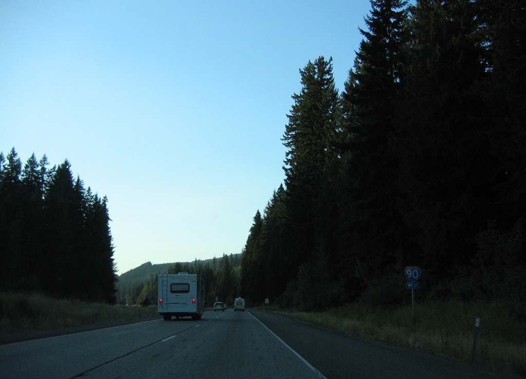
Interstate 90 West - Cle Elum to Snoqualmie Pass
 West
West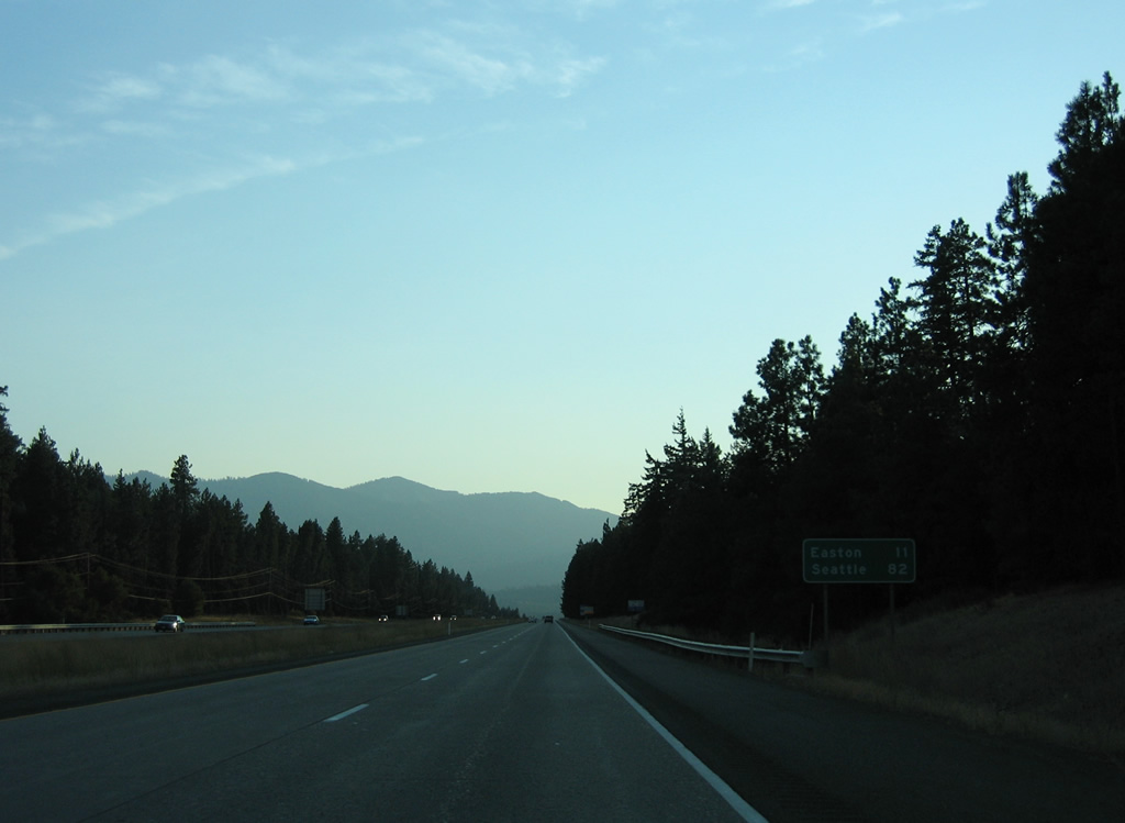
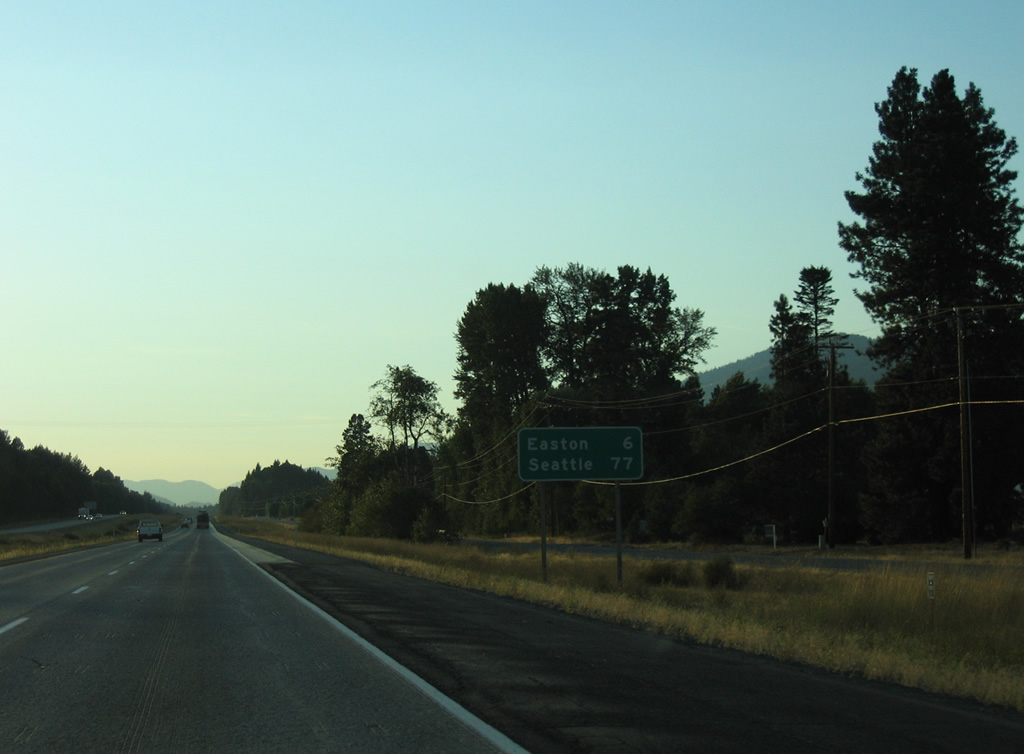
Home to 302 as of the 2020 census, the community of Easton lies 11 miles ahead along Interstate 90 west. Seattle is 71 miles further.
08/28/06
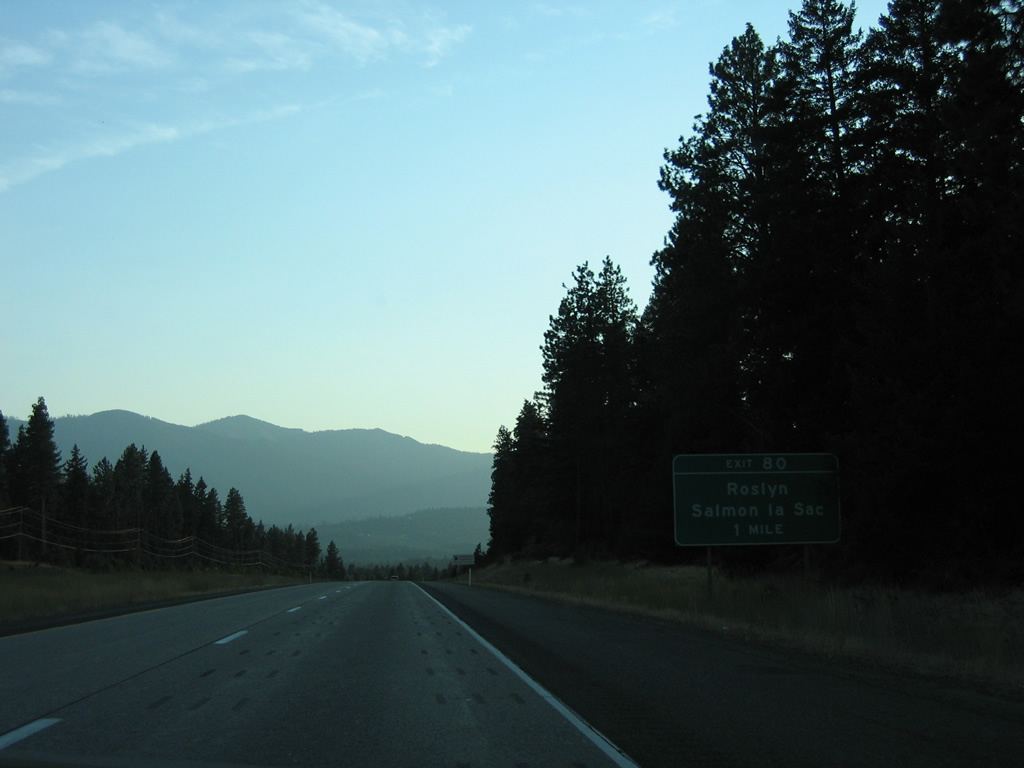
Bullfrog Road meanders northeast from Exit 80 to SR 903, just south of the city of Roslyn.
08/28/06
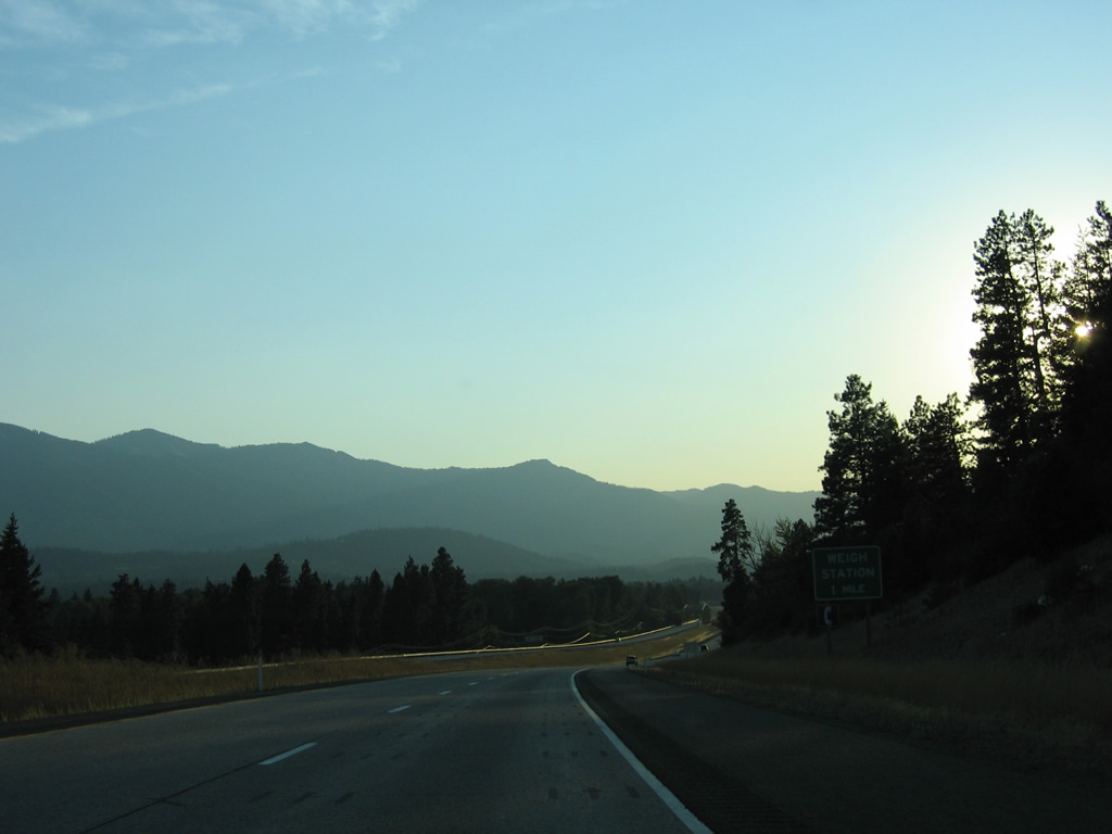
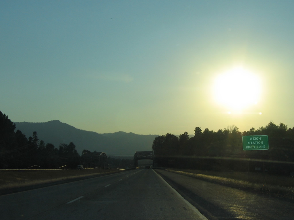
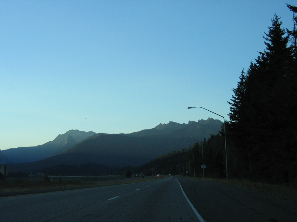
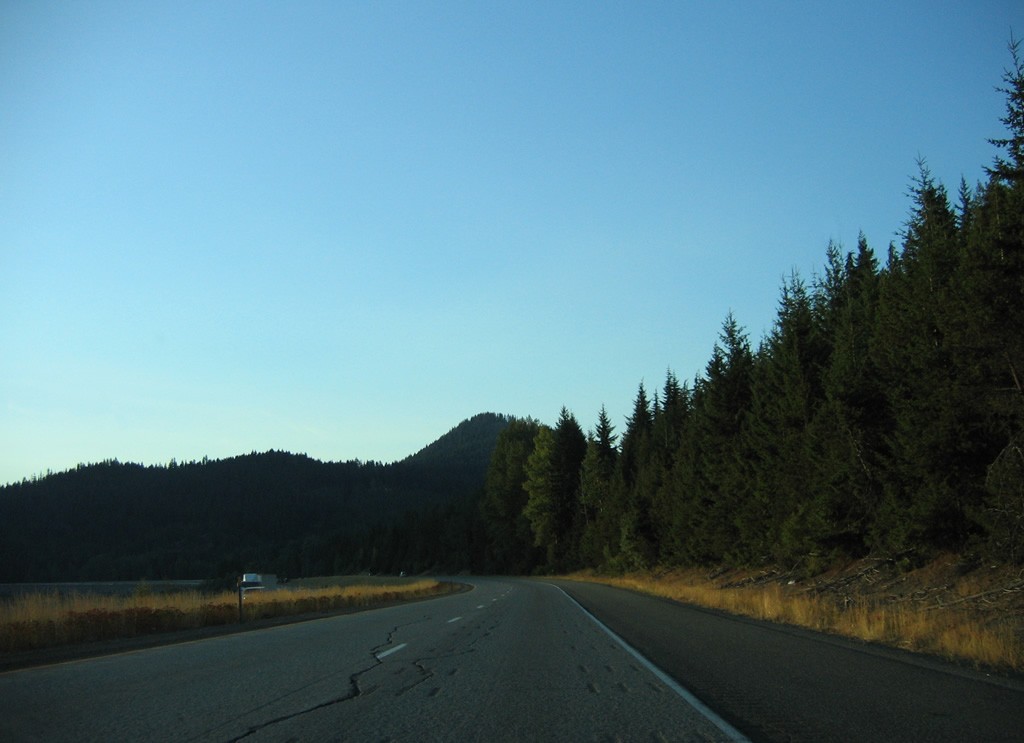
Lookout Mountain and Hicks Butte appears to the south of Interstate 90 ahead of a westbound weigh station.
08/28/06
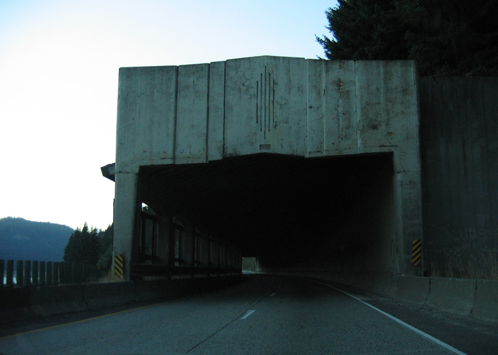
A pair of steel through truss bridges carry Interstate 90 across the Cle Elum River ahead of the weigh station beyond Exit 80.
08/28/06
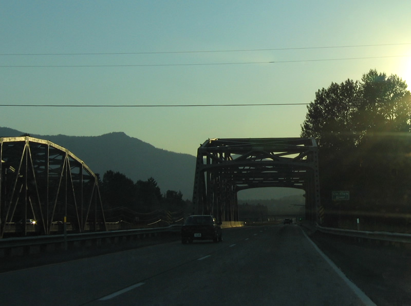
The westbound bridge across the Cle Elum Bridge was constructed in 1962. The eastbound span opened in 1949 for U.S. 10.
08/28/06
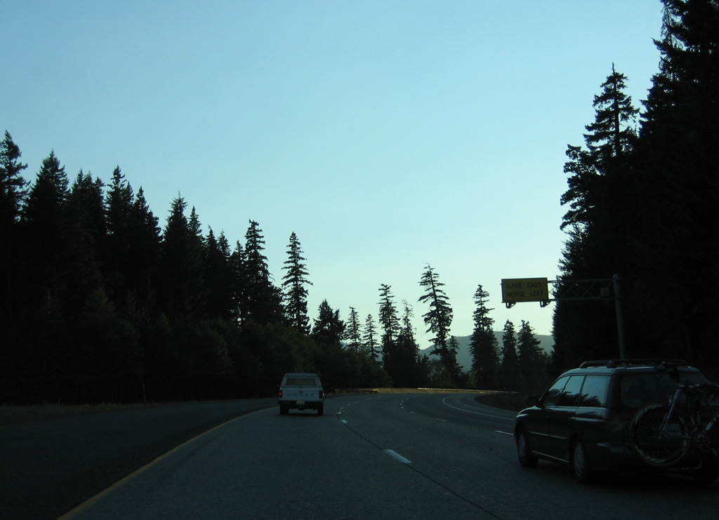
Interstate 90 west at the diamond interchange (Exit 80) with Bullfrog Road. SR 903 north from Bullfrog Road connects with Salmon la Sac Road along Cle Elum Lake to Salmon la Sac Campground.
08/28/06
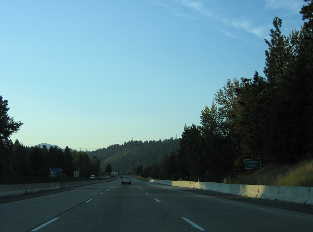
Interstate 90 spans the Yakima River for the second to last time.
08/28/06

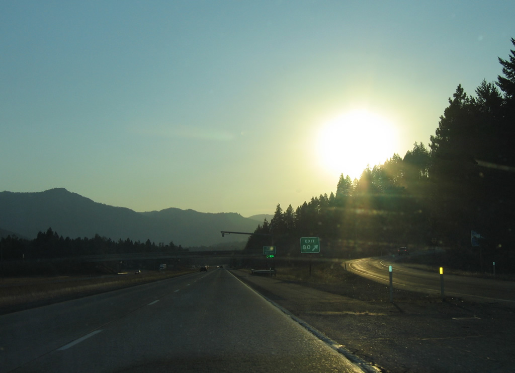
Golf Course Road stems southward from Nelson and the diamond interchange at Exit 78 to Sun Country Golf Course.
08/28/06
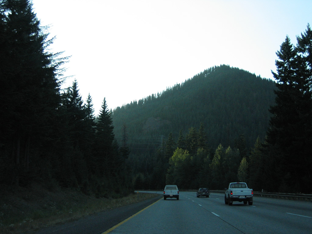
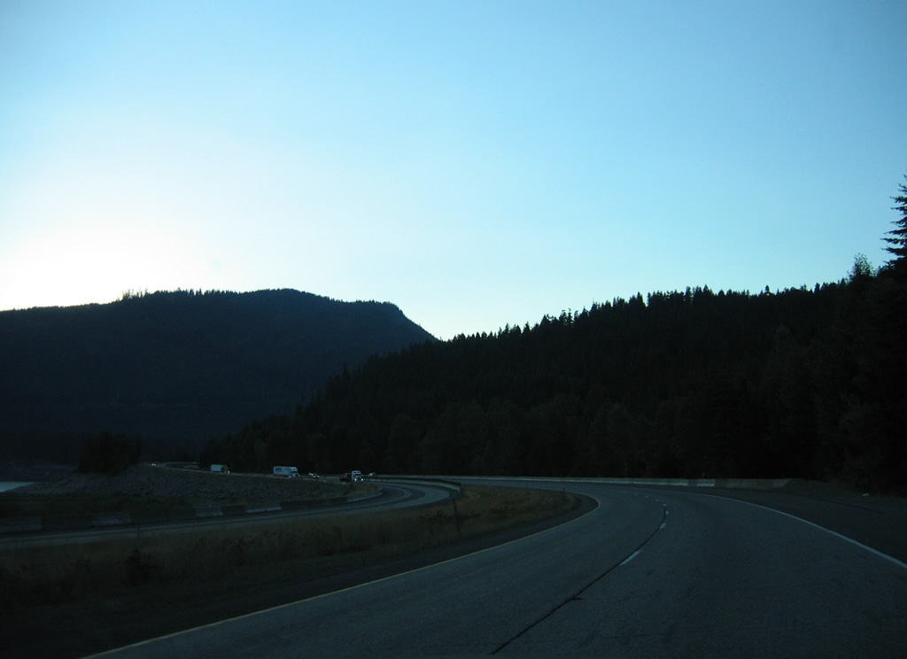
Six miles from Easton, Hundley Road lines the westbound lanes of Interstate 90 as the freeway parallels the Yakima River and Easton Ridge.
08/28/06
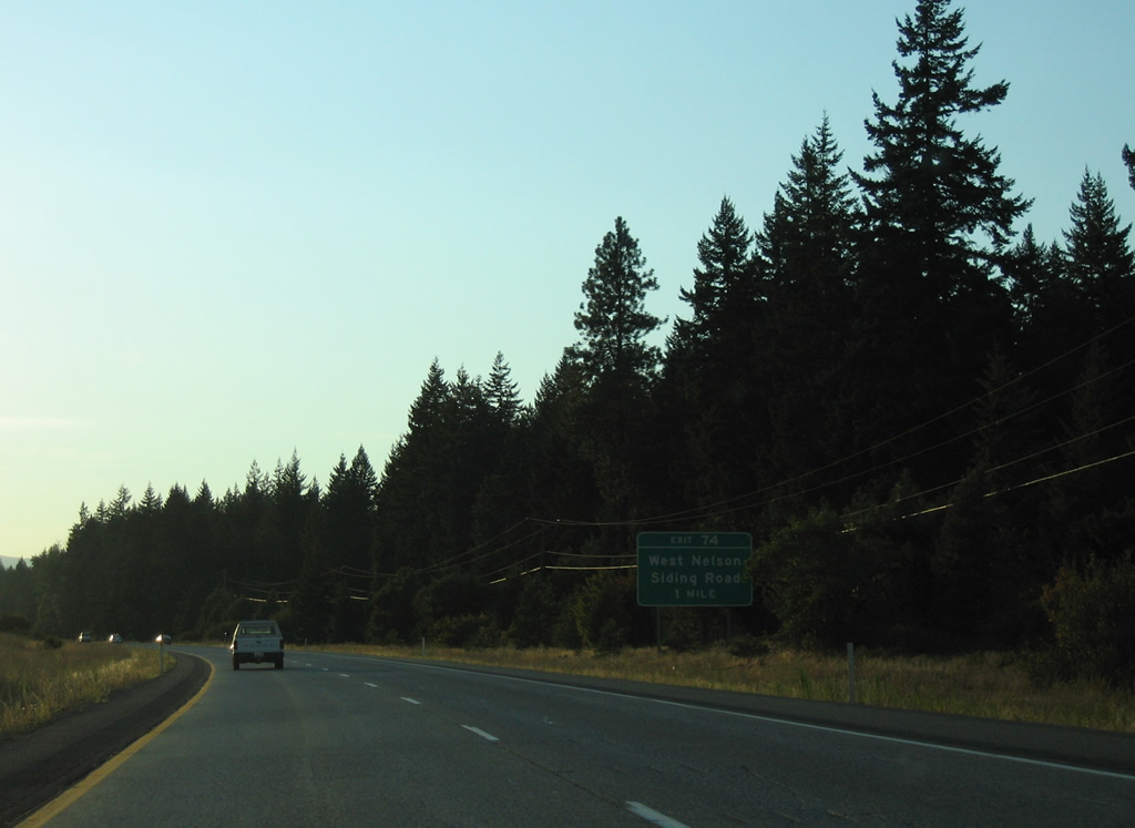
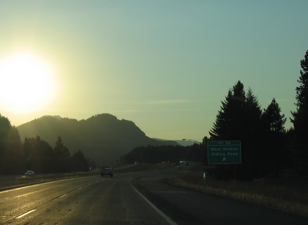
A diamond interchange links Interstate 90 west with West Nelson Siding Road at Exit 74 in one mile.
08/28/06
West Nelson Road arcs southeast from Cresto Road at Lavender Lake and Interstate 90 to Golf Course Road near Exit 78.
08/28/06
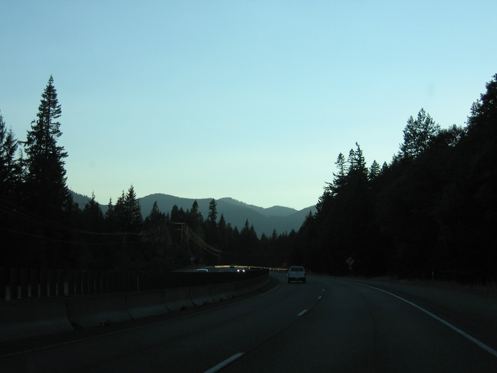
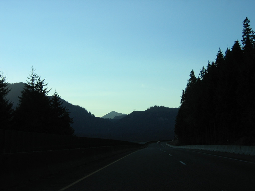
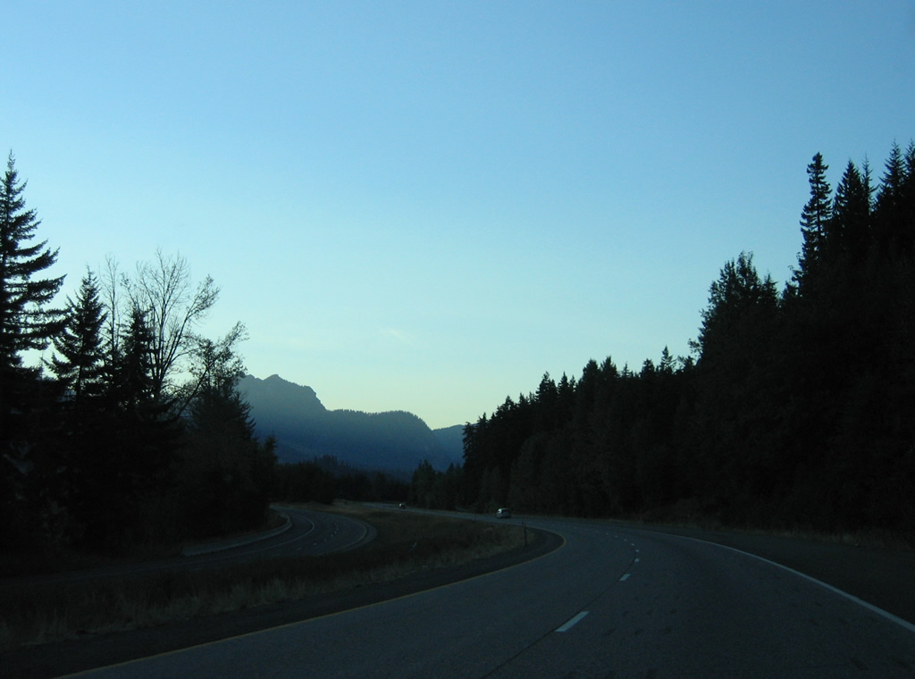
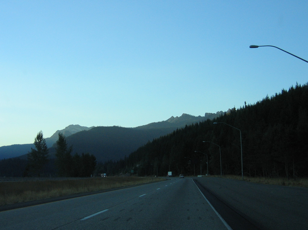
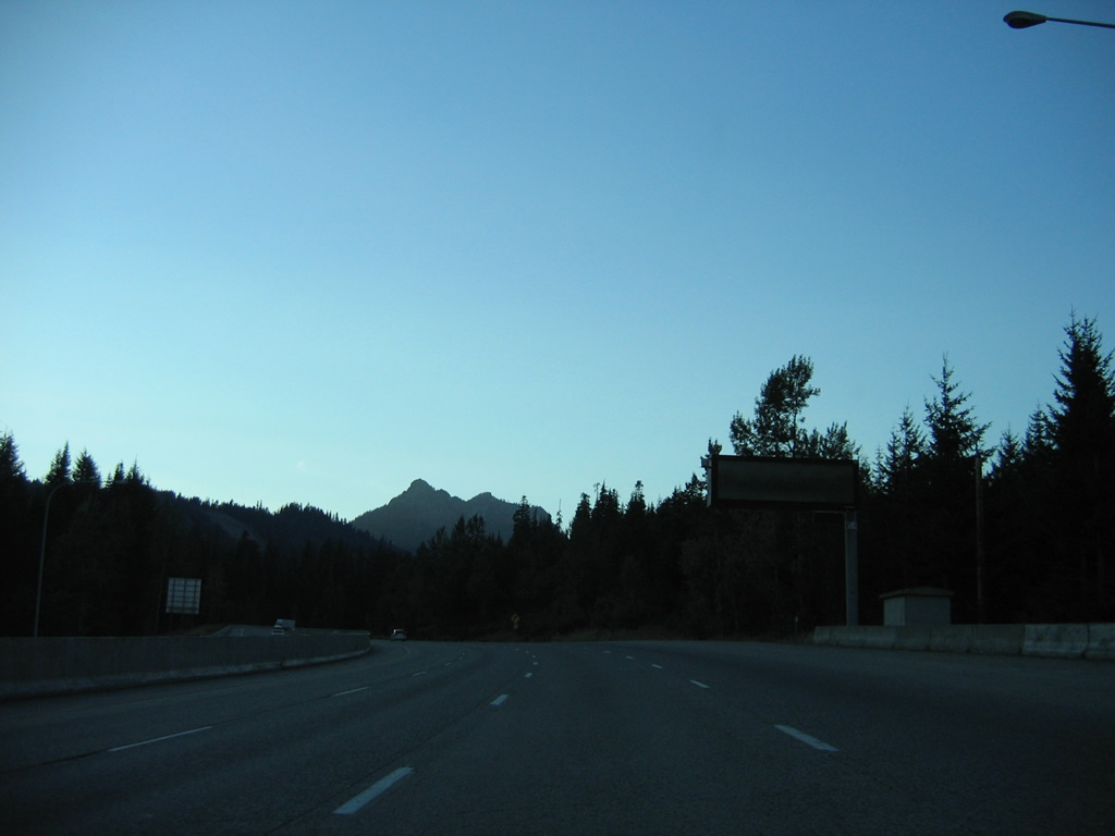
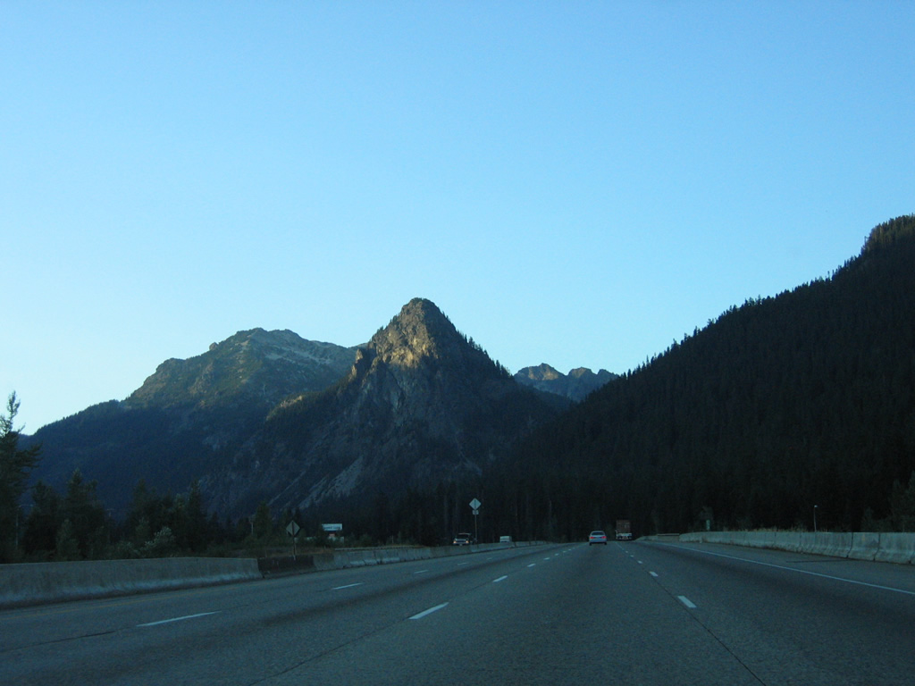
Interstate 90 remains in a valley between Easton Ridge and Goat Peak (elevation 4,921 feet) to Easton.
08/28/06
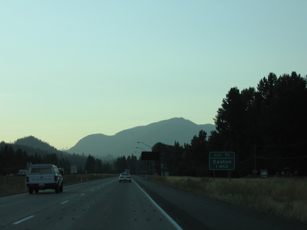
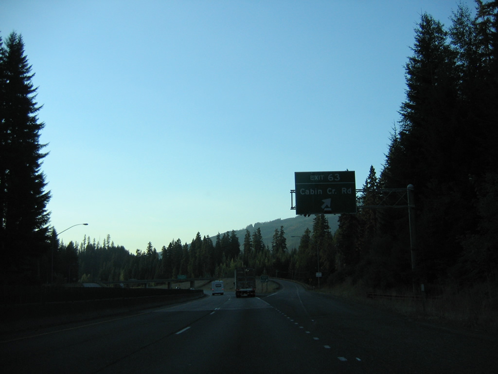
Cabin Creek Road joins Interstate 90 with Easton at Exit 71 in one mile as Amabilis Mountain (elevation 4,554 feet) comes into view.
08/28/06
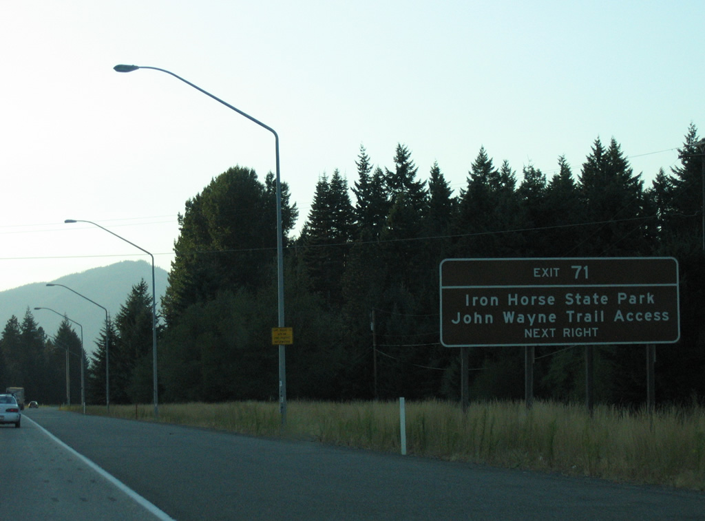
Previously known as Iron Horse State Park, Palouse to Cascades State Park Trail constitutes a multi use trail along the former Chicago-Milwaukee-St. Paul-Pacific Railroad line. The trail extends 285 miles east from the western Cascades to the Idaho border.1
08/28/06
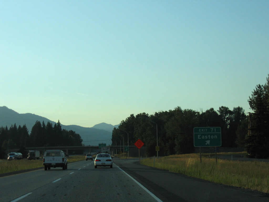
Exit 71 leaves Interstate 90 west for Cabin Creek Road to Railroad Street in Easton and Tree Farm Road, the east side frontage road.
08/28/06
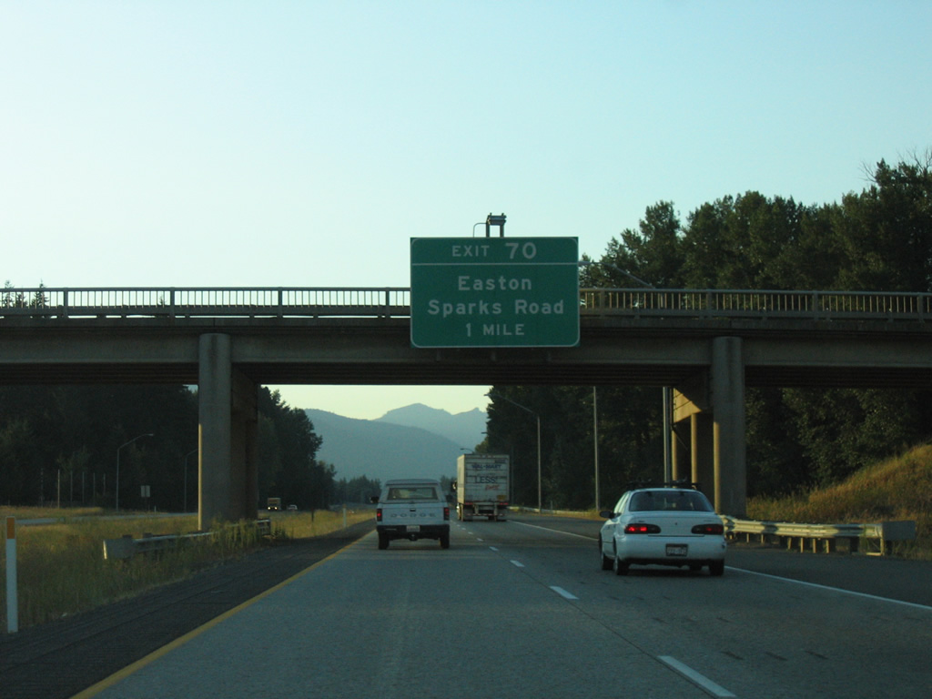
Paralleling Interstate 90 west from Easton, Railroad Street becomes Lake Easton Road leading into the diamond interchange at Exit 70.
08/28/06
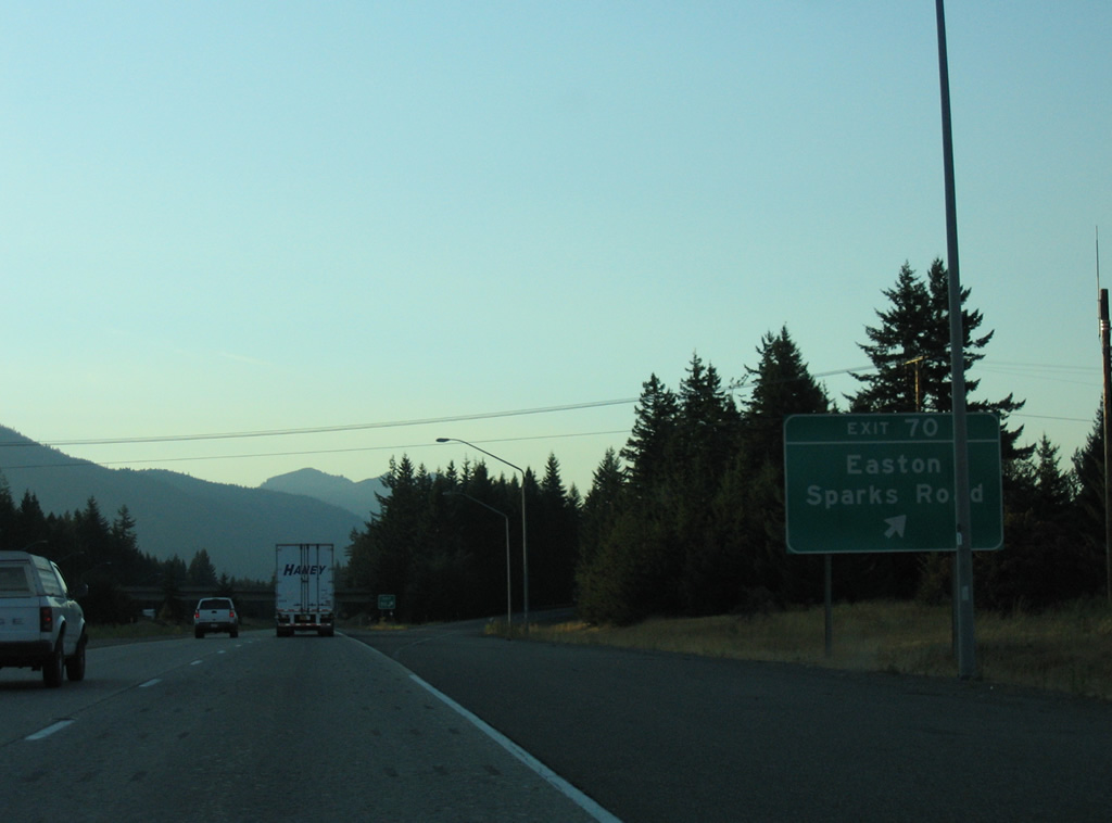
Lake Easton State Park lines the west side from Lake Easton Road to the Kachess River. Sparks Road lines the east side of I-90 from near Exit 70 to National Forest Road 4828.
08/28/06
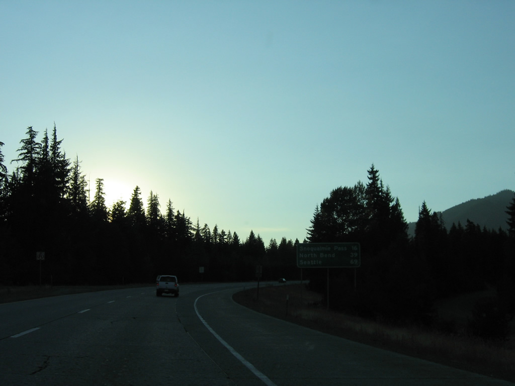
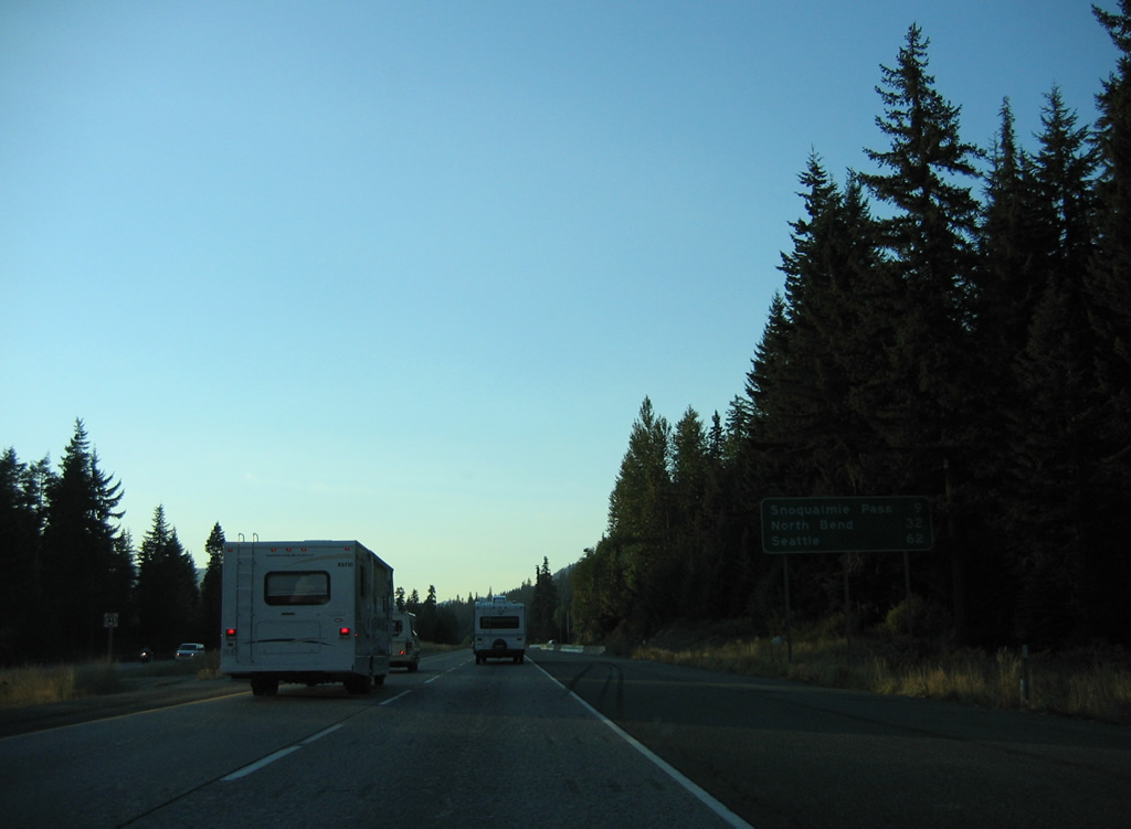
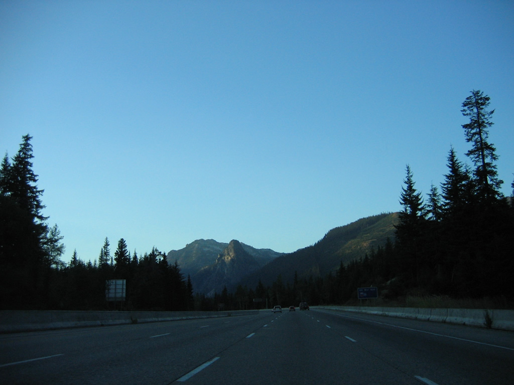
Snoqualmie Pass (elevation 3,022 feet) is 16 miles to the northwest. North Bend, the first of the Seattle exurbs, is 39 miles away on the windward side of the Cascade Mountains.
08/28/06
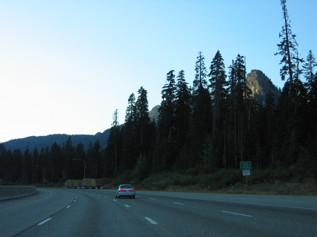
A truck climbing lane opens along Interstate 90 west of the Kachess River.
08/28/06
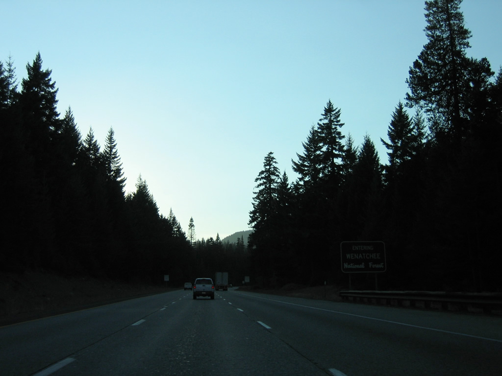
The roadways for Interstate 90 diverge around a wide area of timberland where the freeway formally enters Wenatchee National Forest.
08/28/06
The truck climbing lane concludes where the two roadways converge south of Amabilis Mountain.
08/28/06
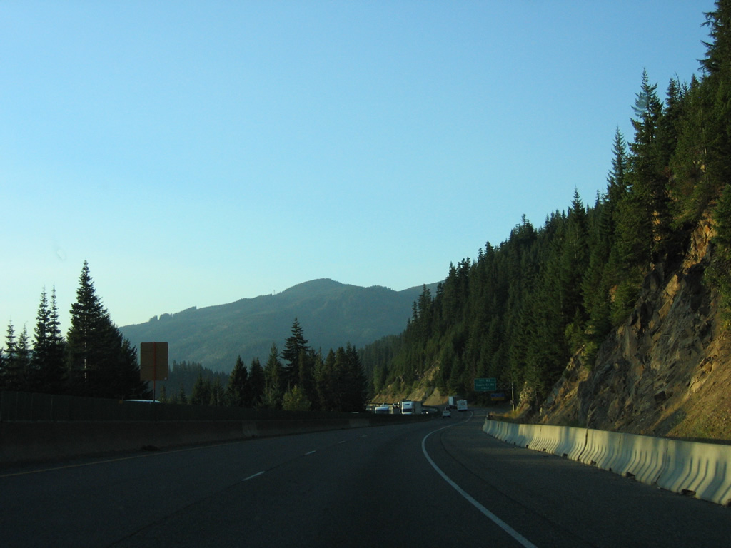
Interstate 90 narrows to four lanes with a concrete barrier median as the freeway circumvents Amabilis Mountain to Exit 63.
08/28/06
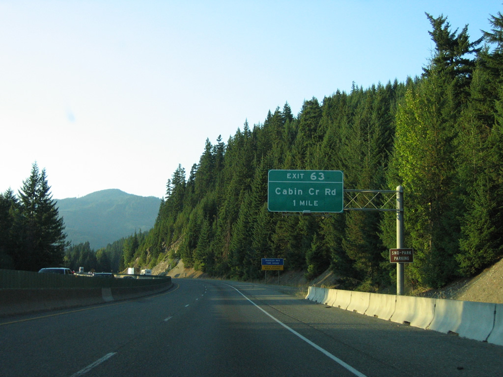
Cabin Creek Road connects Interstate 90 with N.F. Road 4823 south to the Cabin Creek Cultural Center and N.F. Road 4826 north to Kachess Lake Campground at Exit 63 in one mile.
08/28/06
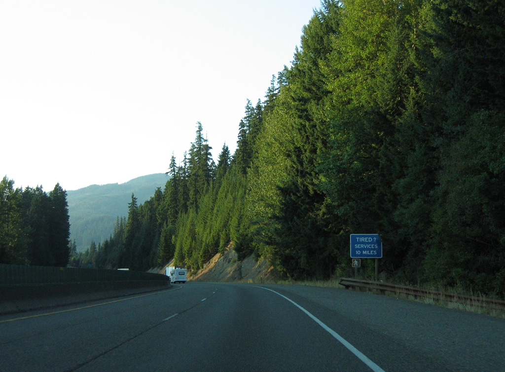
Interstate 90 travels through remote mountain country and services are unavailable between Easton and Hyak and Snoqualmie Pass.
08/28/06
Entering the diamond interchange (Exit 63) with Cabin Creek Road on Interstate 90 west.
08/28/06
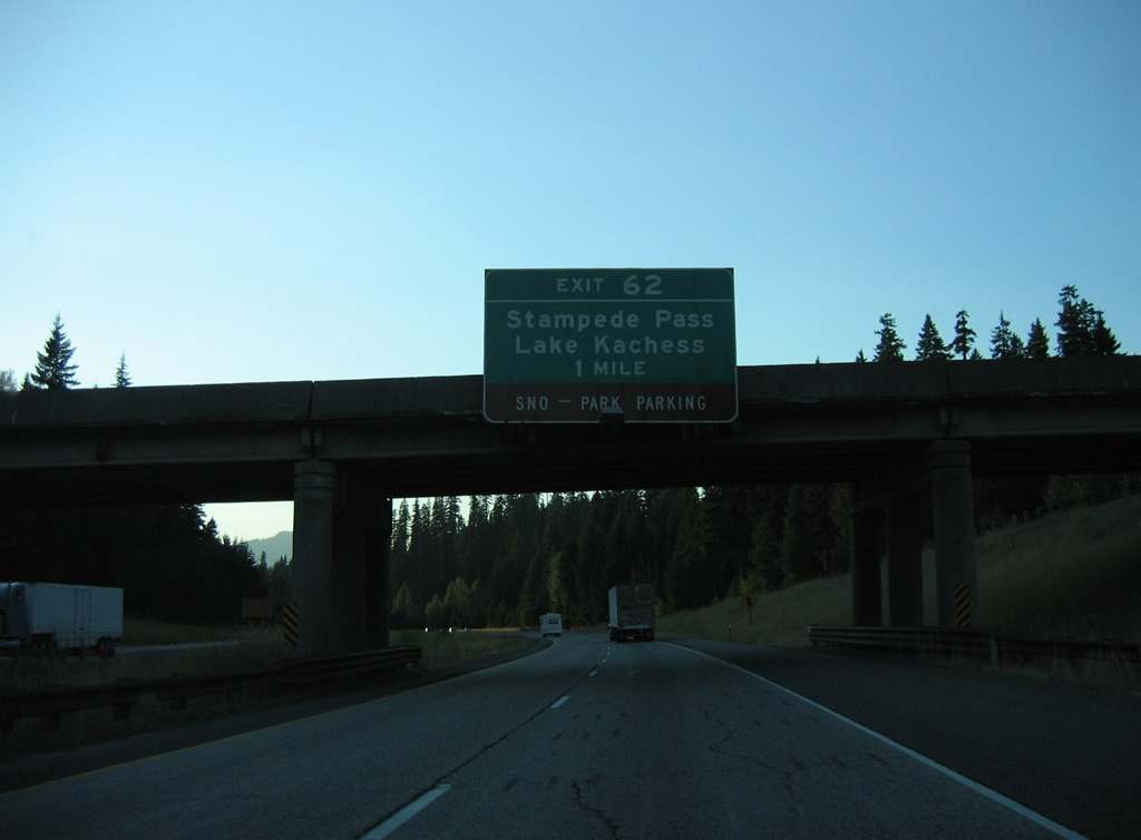
Kachess Lake Road west and Stampede Pass east come together at a diamond interchange (Exit 62) in one mile.
08/28/06

Exit 62 departs Interstate 90 west for Lake Kachess and Stampede Pass (elevation 3,700 feet). Stampede Pass Road becomes National Forest Route 54 west en route to Stampede and Lester.
08/28/06
Paralleling the Yakima River again, Interstate 90 heads toward Keechelus Lake.
08/28/06
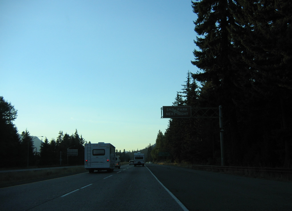
Since replaced with the Keechelus Lake Wildlife Overcrossing, the original pair of rest areas at milepost 61 on I-90 were later converted to the Price Creek Sno-Park. A Sno-Park consists of parking areas clear of snow.
Widening of Interstate 90 underway between 2011 and 2016 on the stretch between Keechelus Dam and Hyak was part of the $551 million I-90 Snoqualmie Pass East project.2 The second phase of the project upgraded I-90 between Keechelus Dam and Exit 63 from Spring 2015 to Fall 2020.
08/28/06
Snoqualmie Pass lies six miles north of the Keechelus Lake Wildlife Overcrossing, site of the Price Creek Sno-Park. Seattle is an hour away.
08/28/06
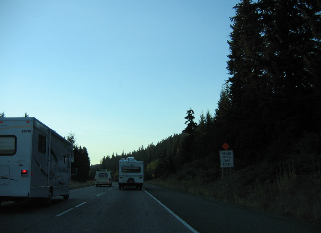
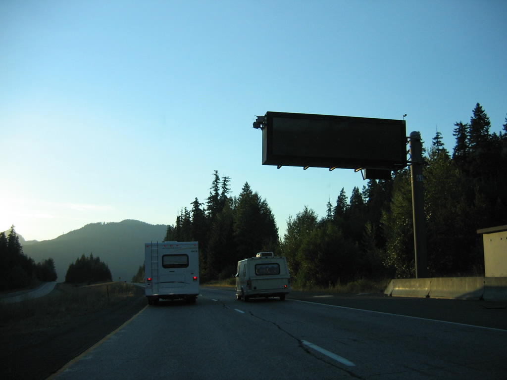
Variable speed limits are used along Interstate 90 from Keechelus Lake northwest to Snoqualmie Pass. Dynamic message signs indicate speed limits, which lower during periods of inclement weather.
08/28/06

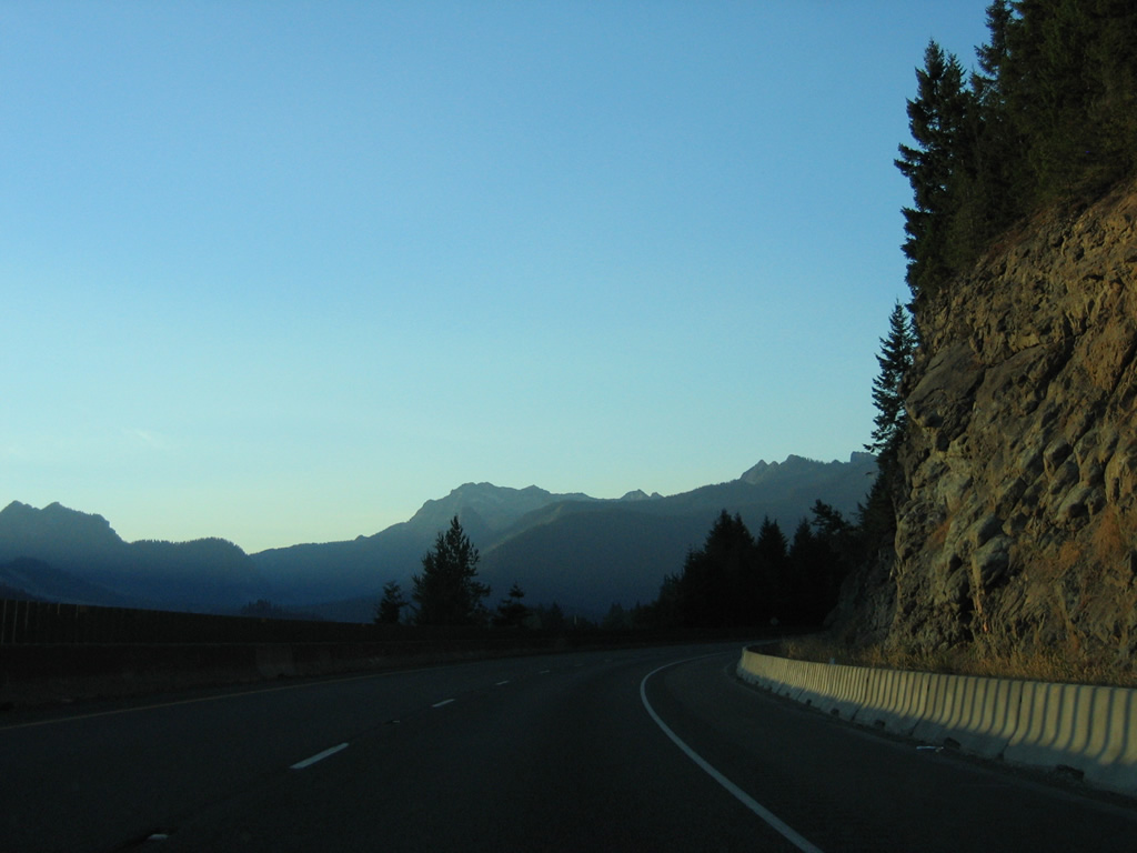
Roaring Ridge and Mount Catherine (elevation 4,961 feet) rise to the west of Keechelus Lake as Interstate 90 straddles the eastern shore.
08/28/06
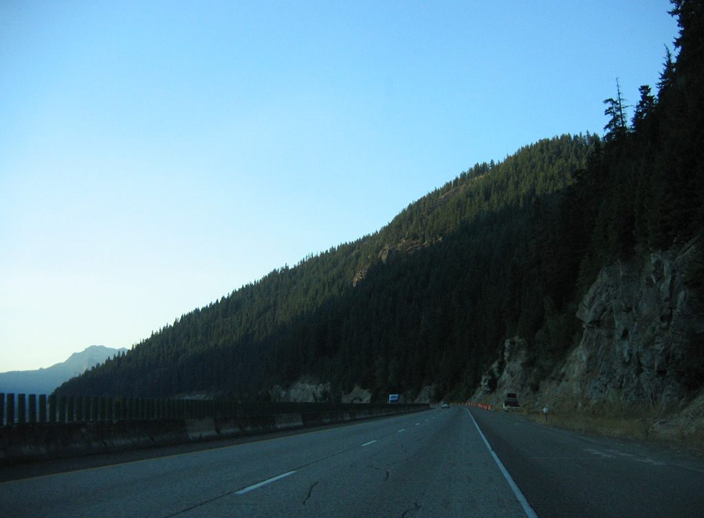
Blasting of the hillside along this stretch of Interstate 90 was undertaken in 2011 to expand the roadway to six lanes.
08/28/06
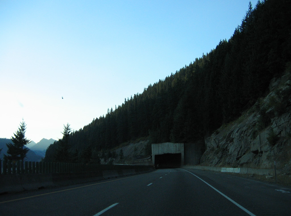
A snowshed previously covered the westbound lanes of Interstate 90 midway along Keechelus Lake. The shed was constructed in 1950 for U.S. 10.
08/28/06
Construction in 2013 replaced the shed with bridges taking I-90 over a series of engineered avalanche paths designed to direct future sliding snow and falling rocks between the pier supports. The original I-90 Snoqualmie Pass East project called for a wider snow shed, but those plans shifted on March 12, 2013 when the Federal Highway Administration (FHWA) and WSDOT approved environmental documentation for the new elevated bridges.3
08/28/06
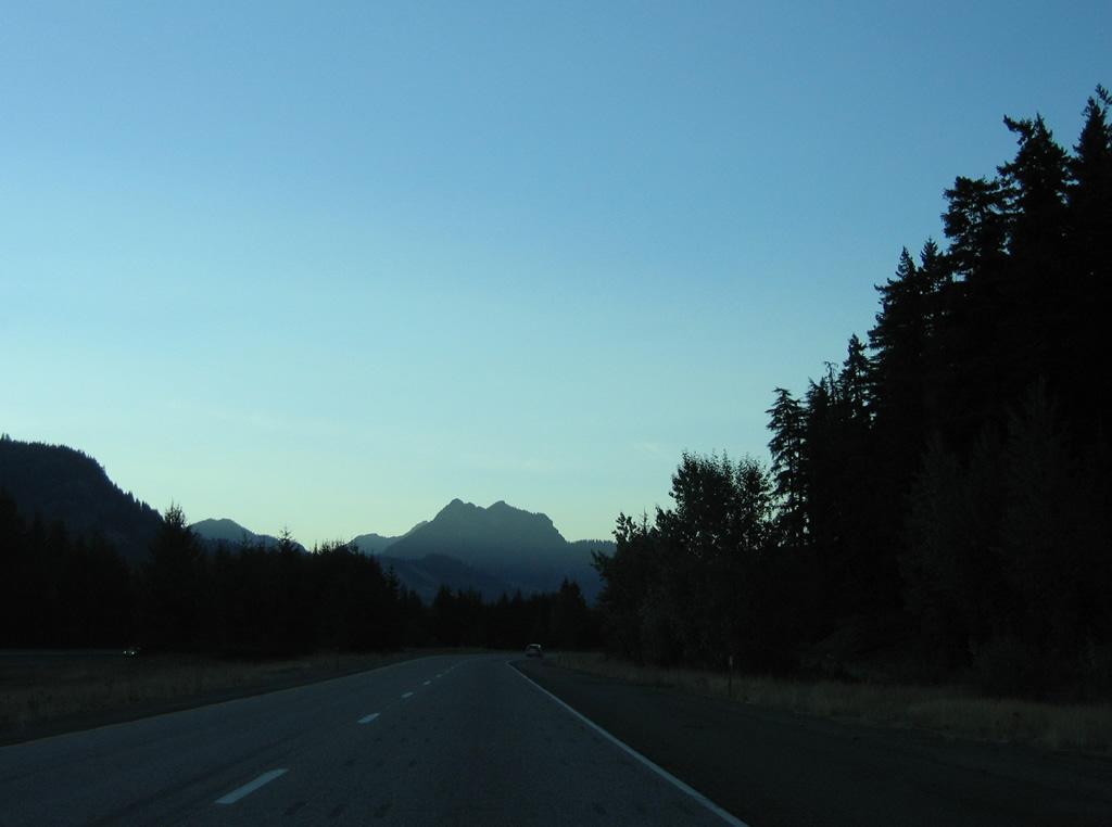
Mount Hyak (elevation 3,737 feet) and Granite Mountain (elevation 5,597 feet) appear beyond the S-curve preceding Wolfe Creek.
08/28/06
Kendall Peak (elevation 5,696 feet), Snoqualmie Mountain (elevation 6,260 feet) and other mountains appear where Interstate 90 travels north along Keechelus Lake.
08/28/06
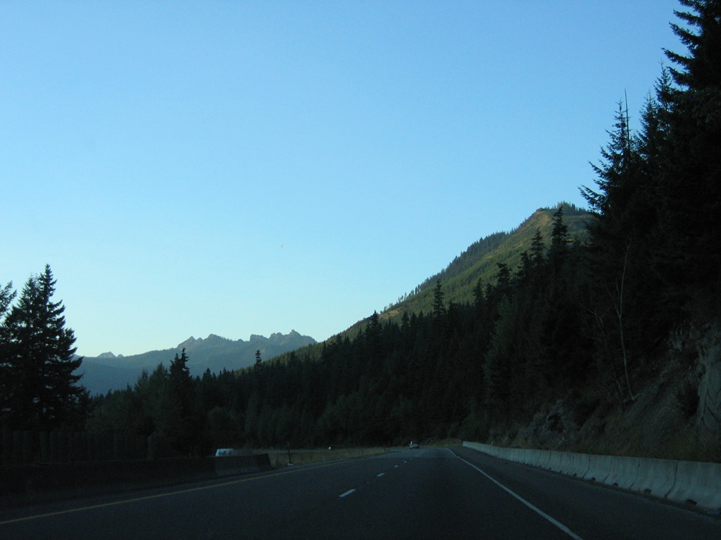
Interstate 90 straddles the south slope of Rampart Ridge to Gold Creek Valley.
08/28/06
Kendall Peak and Snoqualmie Mountain rise prominently as Interstate 90 curves west through Gold Creek Valley.
08/28/06
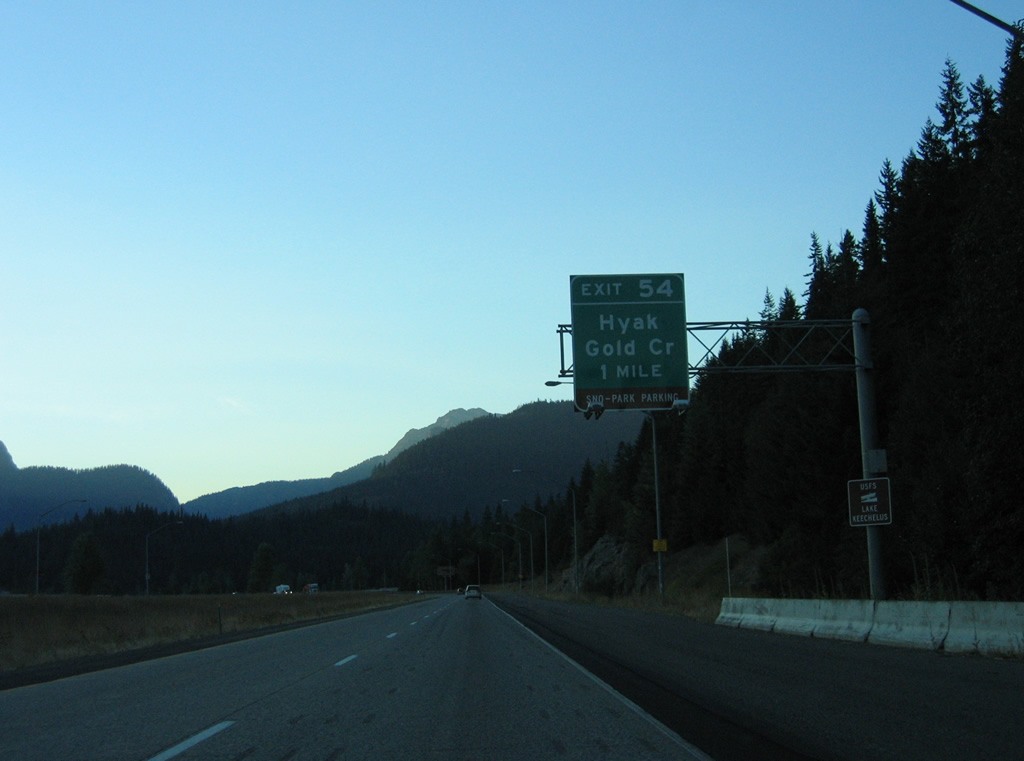
One mile south of the parclo interchange (Exit 54) with SR 906 west and National Forest Road 9090 north on I-90 west of Gold Creek Valley. Previously unsigned from I-90, SR 906 follows old U.S. 10 along a 2.69 mile long course between Hyak and Snoqualmie Pass.
08/28/06
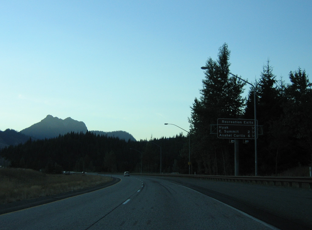
Snoqualmie Pass is home to several ski areas including the slopes at Hyak and East Summit. The stretch of I-90 over Gold Creek was reconstructed between 2011 and 2012 to include longer bridges over the waterway.
08/28/06
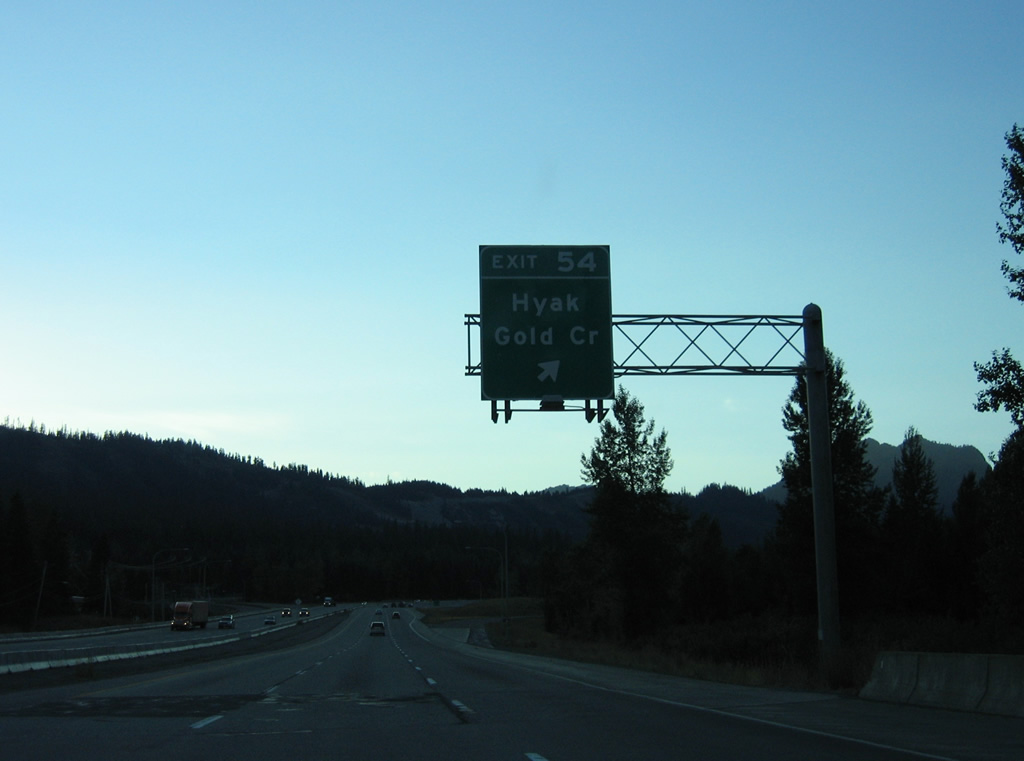
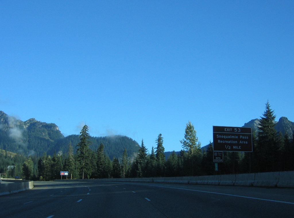
Exit 54 parts ways with Interstate 90 for Hyak and Gold Creek. SR 906 parallels I-90 to the west, rejoining the freeway at Exit 52. A number of traveler services line the state route.
08/28/06
Westbound Interstate 90 expands to four lanes with the addition of a truck climbing lane.
08/28/06
Traveling north by the Summit at Snoqualmie ski area, Interstate 90 moves closer to Guye Peak (5,010 feet) and Snoqualmie Mountain.
08/28/06
A diamond interchange (Exit 53) joins Interstate 90 with the Snoqualmie Pass Recreation Area via Summit Road and parallel SR 906.
08/31/06
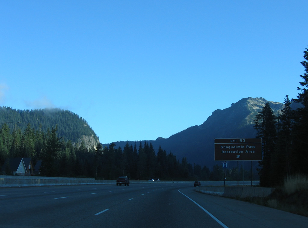
Exit 53 leaves Interstate 90 west for Summit Road. This is the last Snoqualmie Pass interchange, though a half diamond interchange provides return access from the end of SR 906 in a half mile.
08/31/06
Interstate 90 crosses Snoqualmie Pass at an elevation of 3,022 feet just north of Exit 53. Travel conditions at the pass are available on the WSDOT site
08/28/06
Interstate 90 turns southward from Snoqualmie Pass to follow the South Fork of the Snoqualmie River. I-90 enters King County, the final county westbound, just ahead of the entrance ramp from SR 906.
08/28/06

References:
- Palouse to Cascades State Park Trail. Wikipedia.
- "Interstate 90 near Snoqualmie Pass to be closed." The Seattle Times, May 11, 2011.
- "New bridges get green light to replace snowshed east of Snoqualmie Pass." - I-90 - Snoqualmie Pass East project web site.
Photo Credits:
- AARoads: 08/28/06, 08/31/06
Connect with:
Page Updated Wednesday June 26, 2013.