
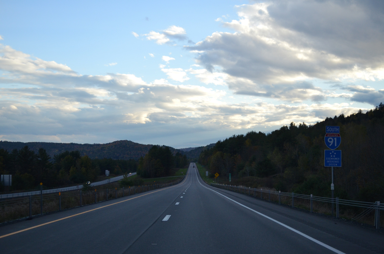
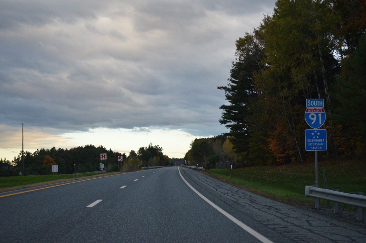
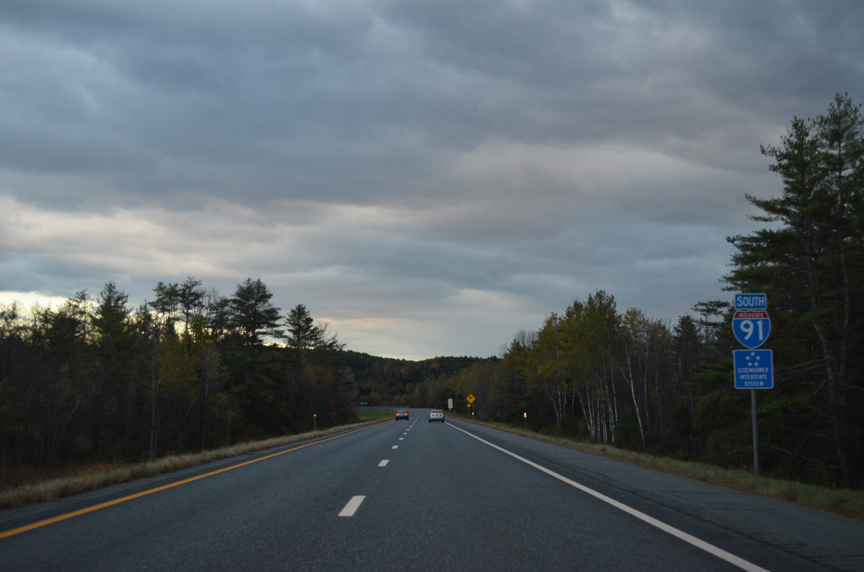
Interstate 91 South - St. Johnsbury to White River Junction
 South
South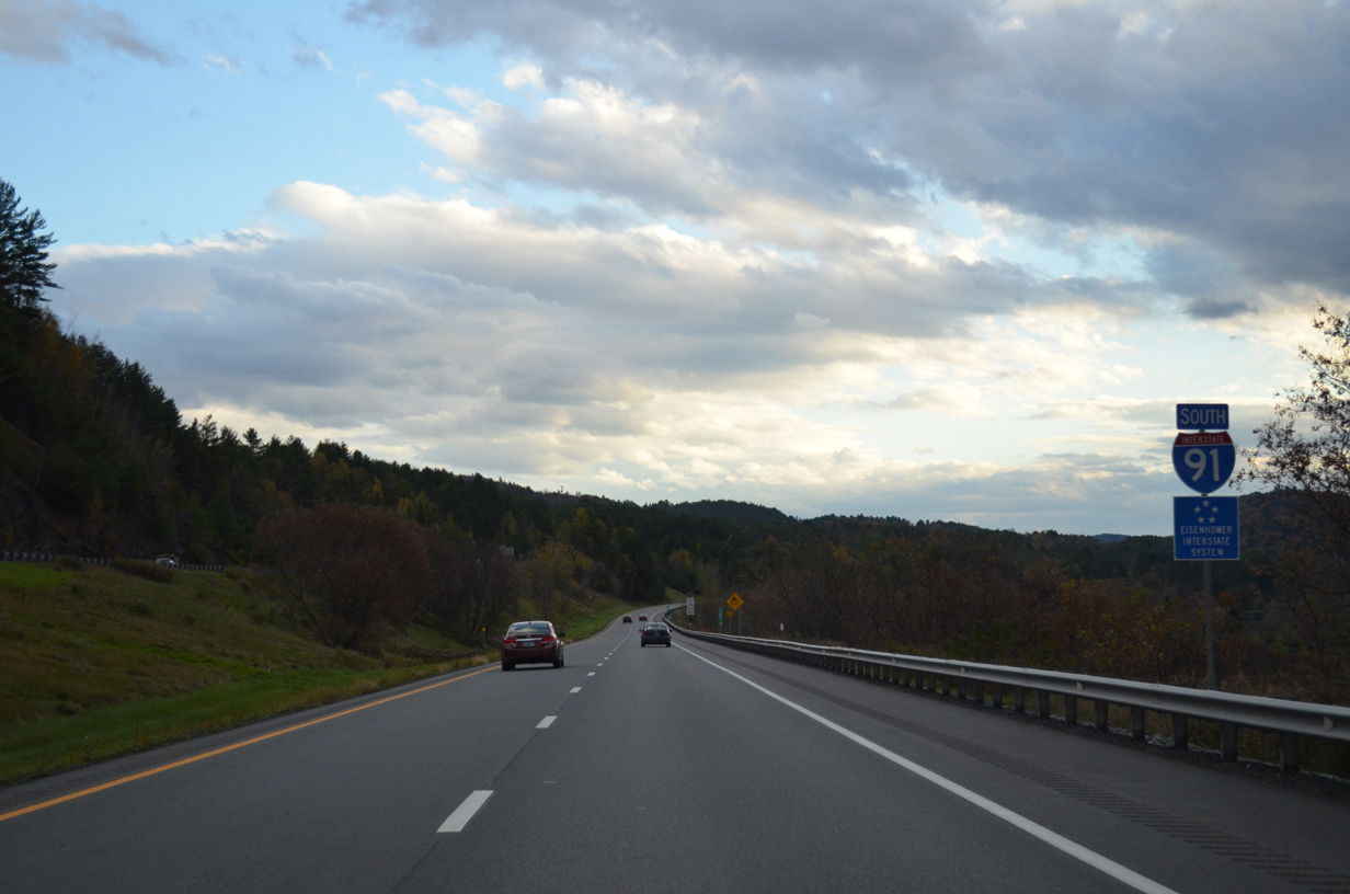
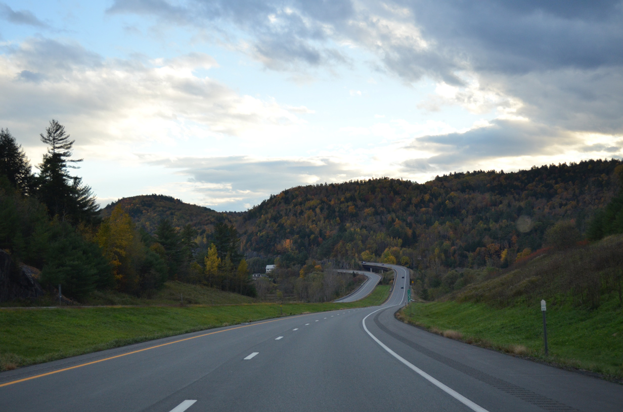
With traffic from Interstate 93 north added, I-91 progresses southward 7.4 miles to the next off-ramp.
10/08/14
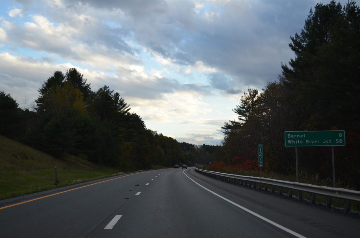
The Barnet town center lies next to forthcoming Exit 18 in eight miles. White River Junction is less than an hour away.
10/08/14
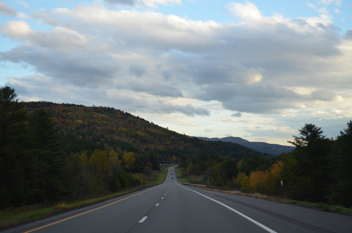
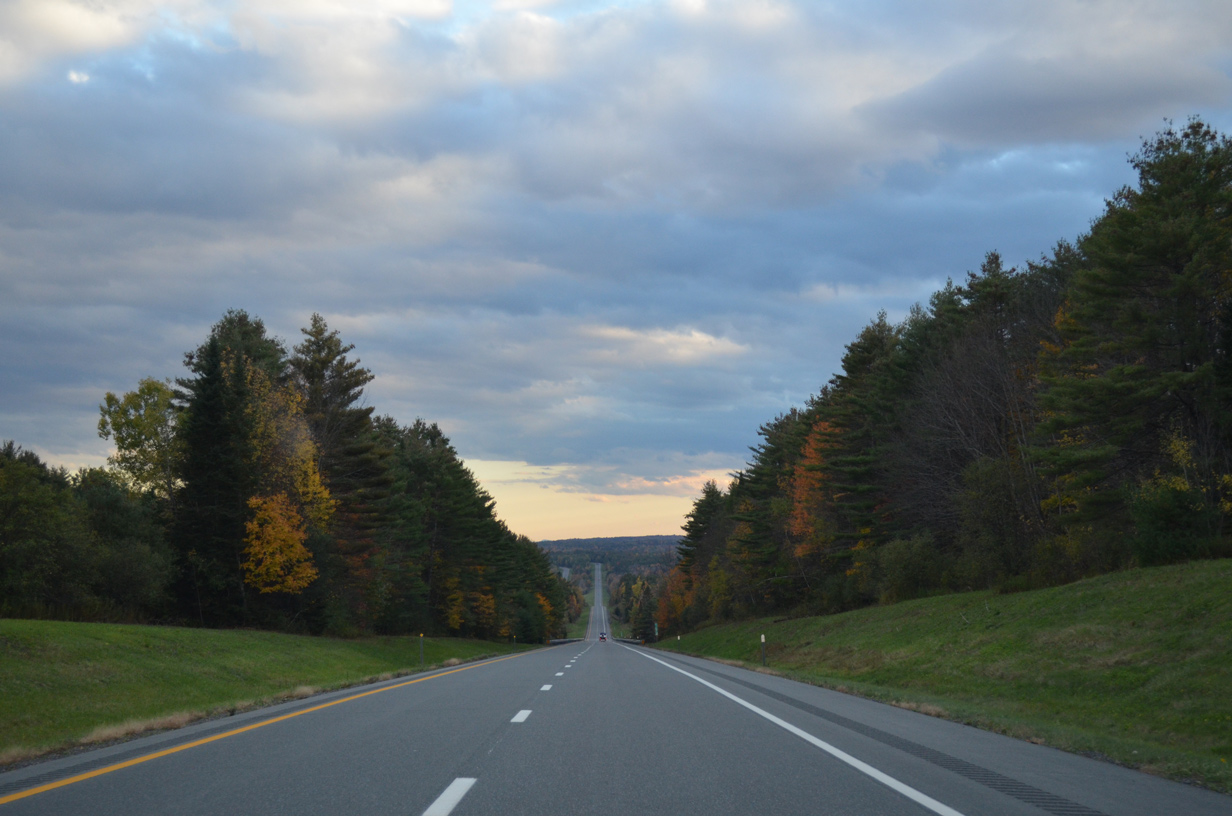
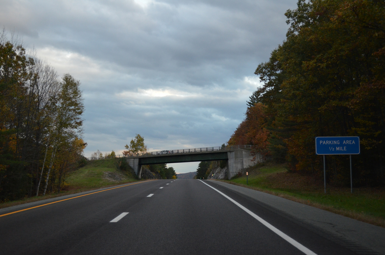
Scenery along Interstate 91 south as the freeway parallels the Passumpsic River valley through the town of Barnet. Old Silo Road passes overhead in the background.
10/08/14
Interstate 91 shifts sides to west of both U.S. 5 and the Passumpsic River through East Barnet.
10/08/14
U.S. 5 winds between the two roadways of I-91 just south of East Barnet to emerge along the west side around Barnet Mountain.
10/08/14
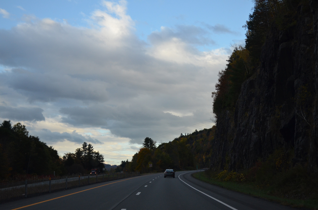
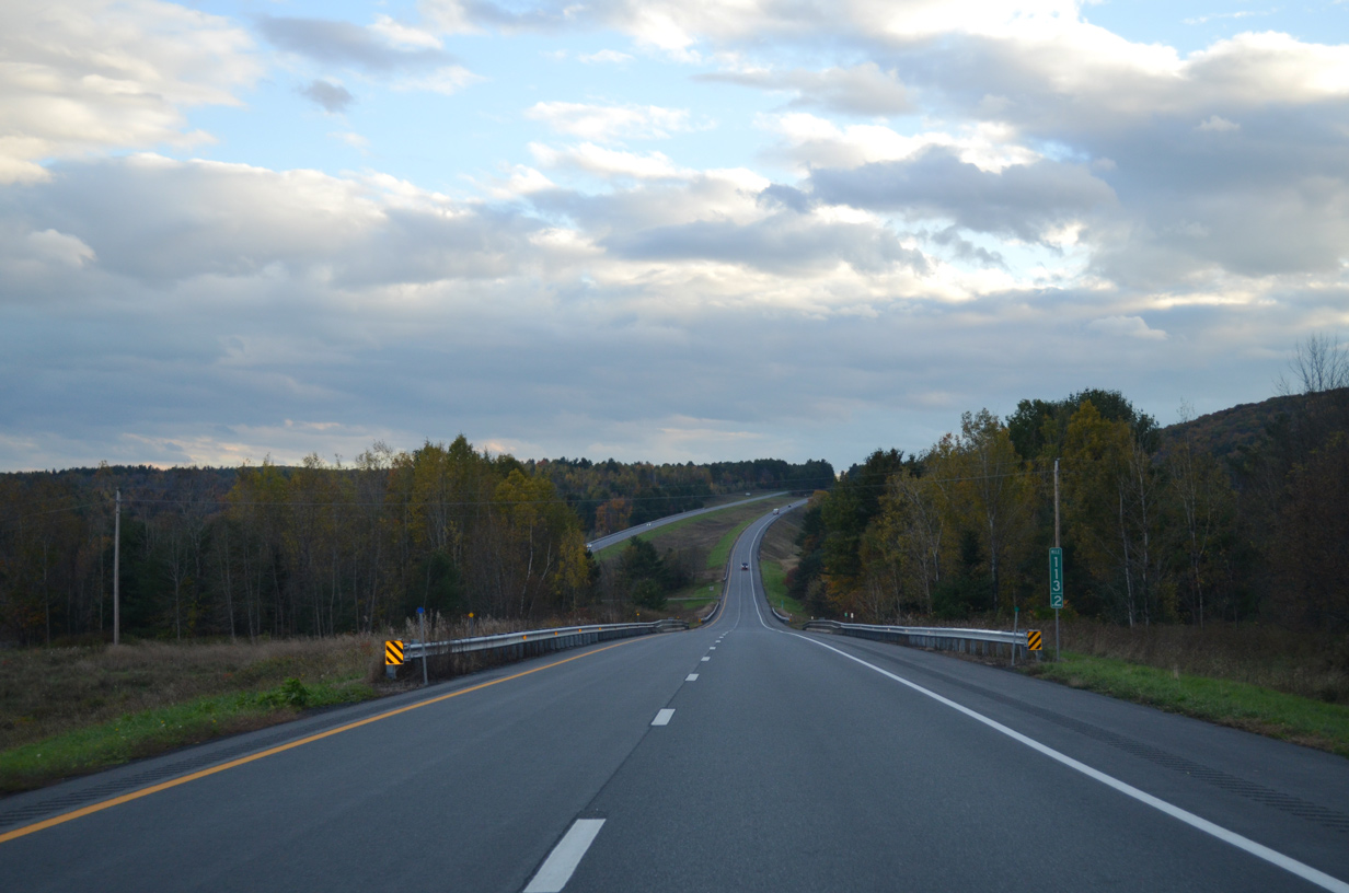
The freeway otherwise encircles Barnet Mountain (el. 1,207 ft) beyond the Passumpsic River viaducts.
10/08/14
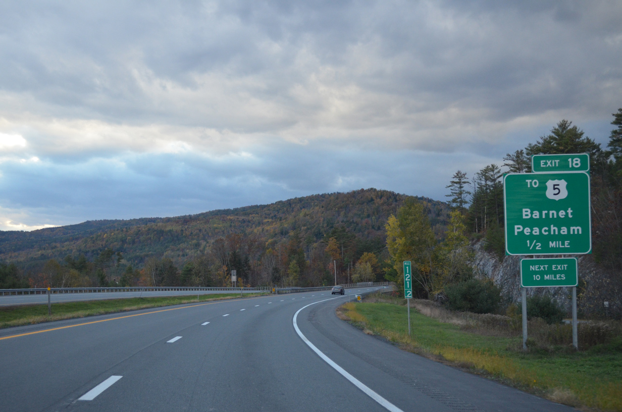
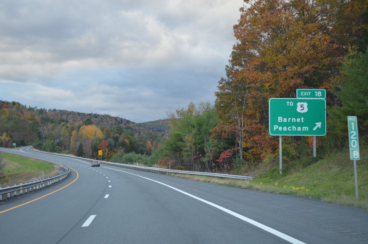
U.S. 5 angles southwest from below I-91 into the Barnet town center within one mile of the diamond interchange (Exit 18) with West Barnet Road.
10/08/14
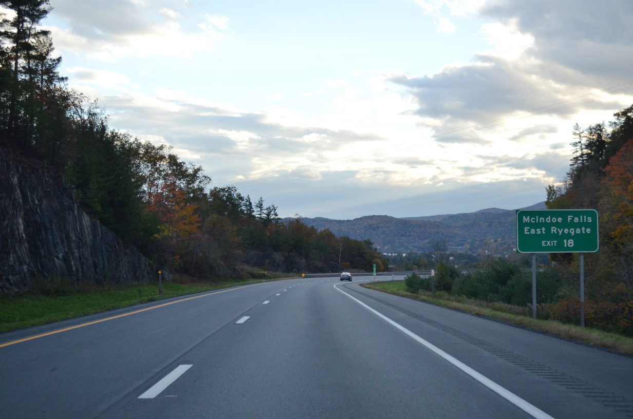
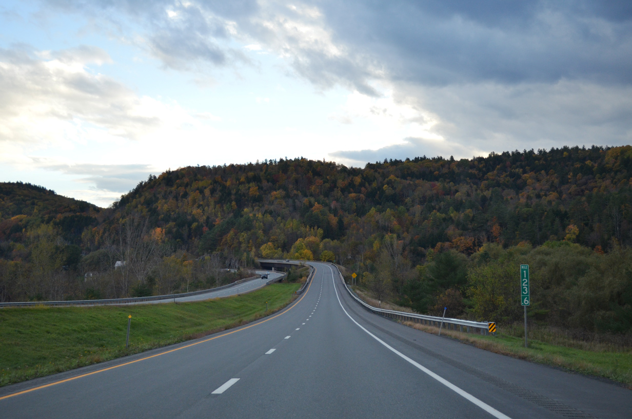
South from Barnet, U.S. 5 parallels the west side of the Connecticut River to McIndoe Falls and East Ryegate. I-91 bypasses both of these communities along a ten mile exit less stretch.
10/08/14
West Barnet Road leads away from Exit 18 toward West Barnet at Harvey Lake and South Peacham
10/08/14
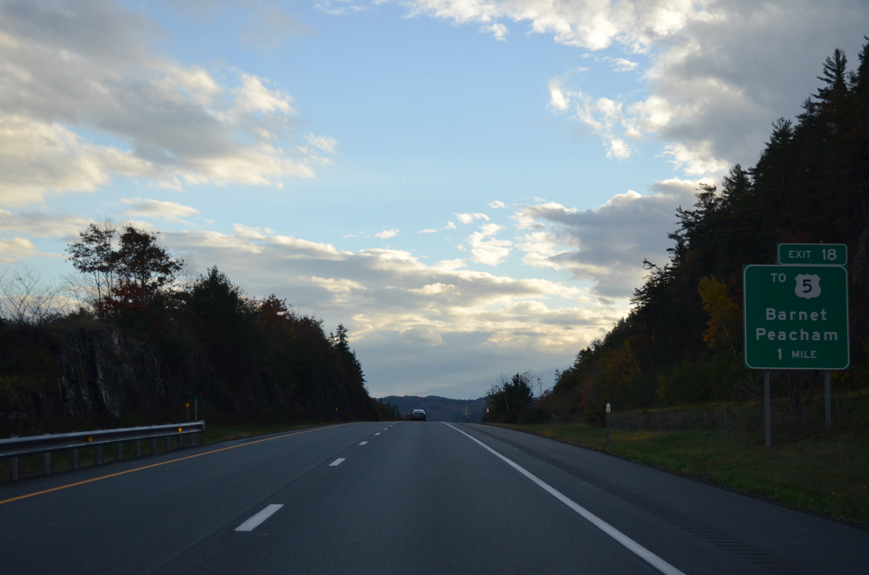
Exit 18 leaves Interstate 91 south for West Barnet Road. The Peacham town center is a seven mile drive to the west.
10/08/14
Interstate 91 mirrors the course of the Connecticut River from Barnet southward to East Ryegate and again from Bradford to Brattleboro.
10/08/14
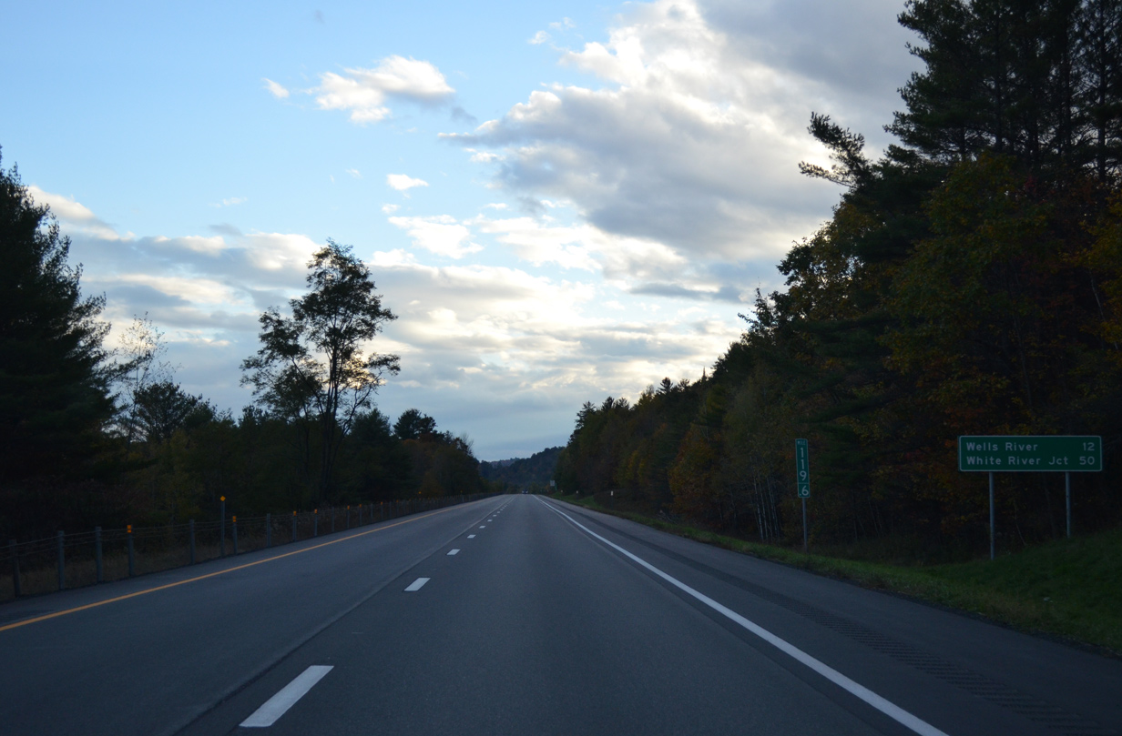
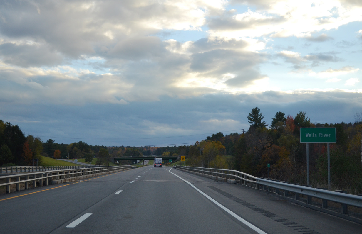
The village of Wells River lies 12 miles ahead via U.S. 302 east. White River Junction is now 50 miles away.
10/08/14
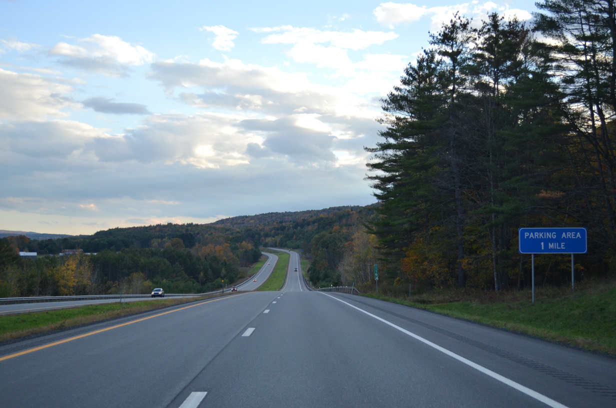
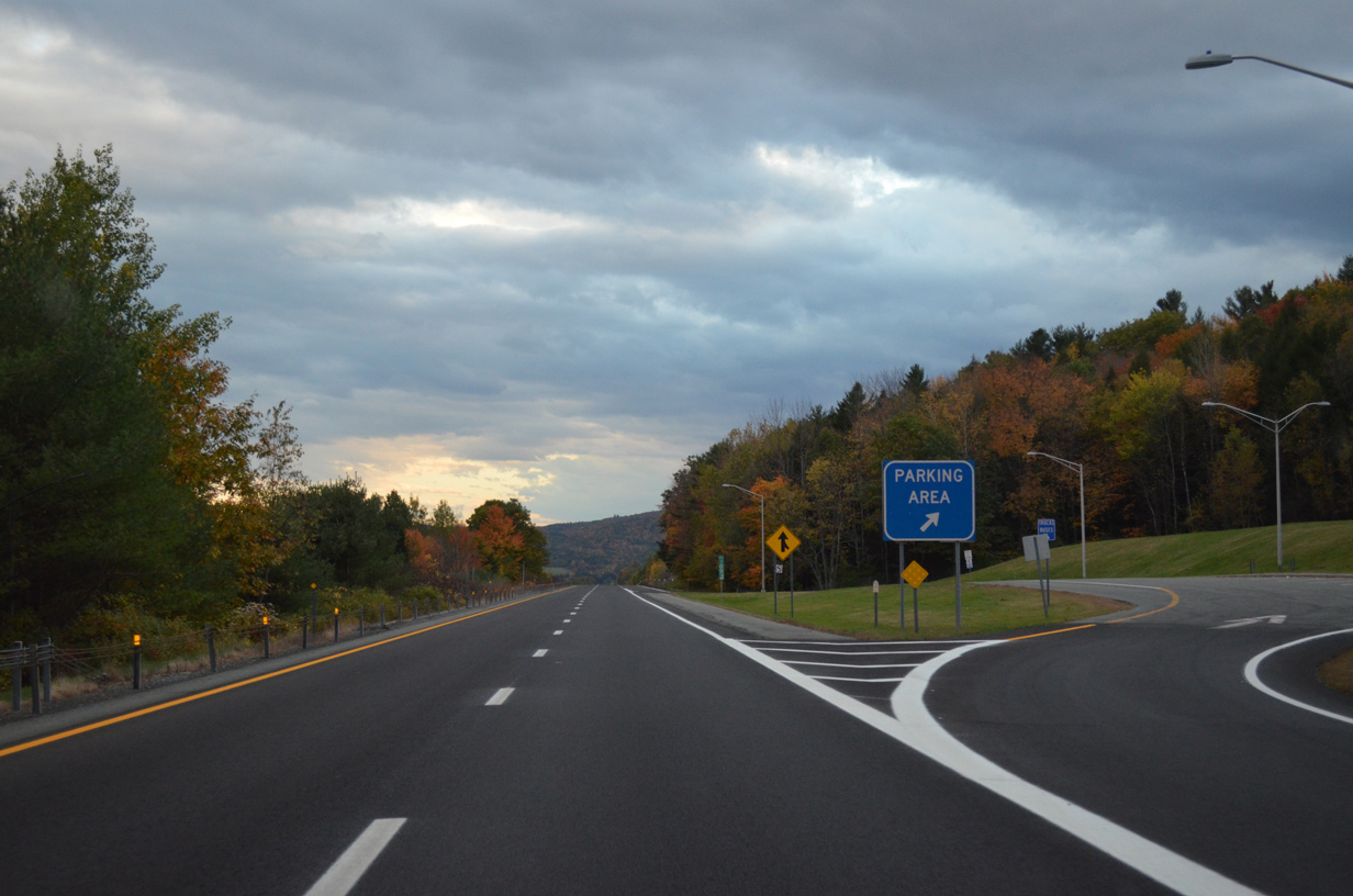
A parking area lines the southbound side of Interstate 91 within the town of Ryegate.
10/08/14
Southbound I-91 at the Ryegate parking area. A northbound side area lies further south by East Ryegate.
10/08/14
Crossing Manchester Brook between Ryegate center and East Ryegate along Interstate 91 south.
03/02/15
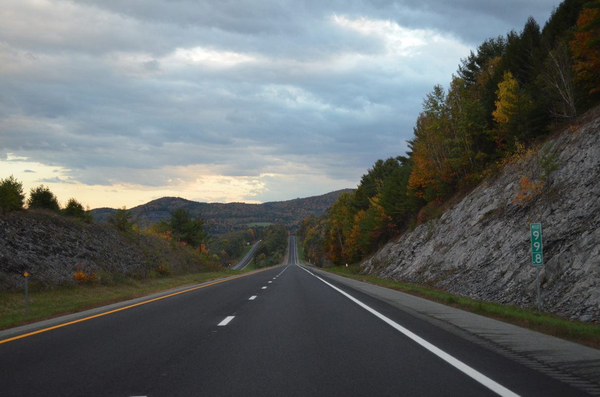
Interstate 91 climbs again toward the Orange County and Newbury town line.
10/08/14
03/02/15
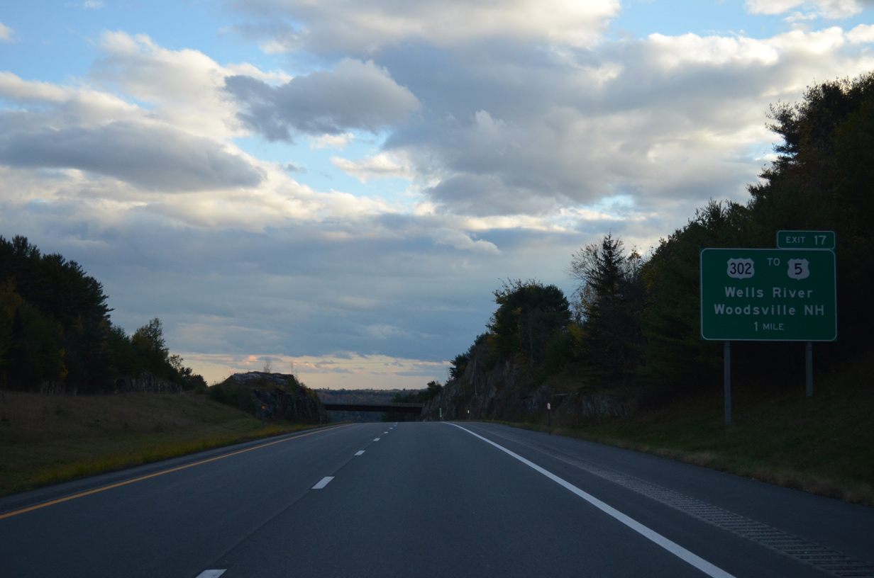
U.S. 302, a 171 mile route between Montpelier and Portland, Maine, crosses paths with Interstate 91 in one mile at Exit 17.
10/08/14
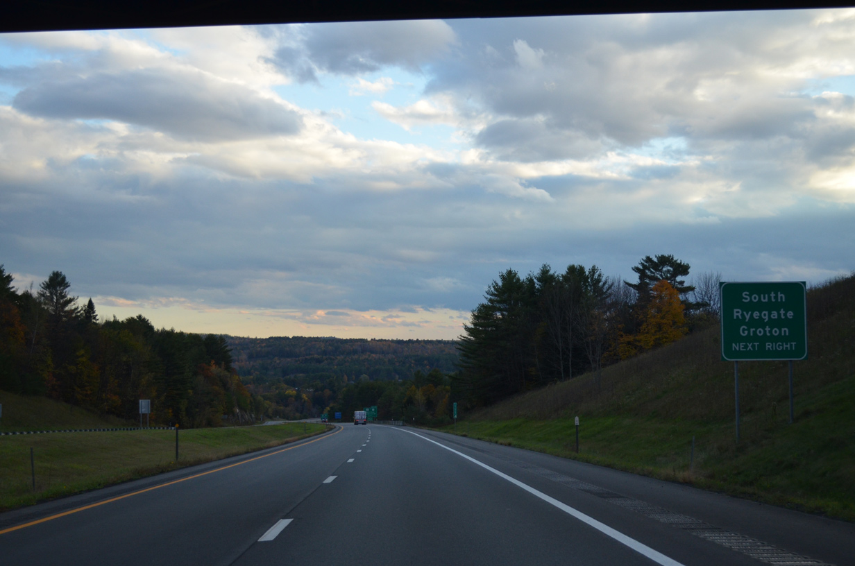
U.S. 302 follows the Wells River west from Exit 17 to South Ryegate, Groton and VT 232 north to Ricker Mills.
10/08/14
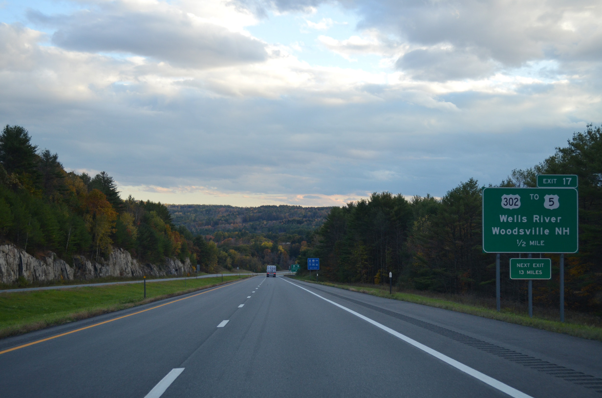
East from Exit 17, U.S. 302 (William Scott Memorial Highway) winds 2.8 miles through Four Corners to a short overlap with U.S. 5 through Wells River. The 1923-built New Hampshire Vermont Veterans Memorial Bridge carries the US route across the Connecticut River into Woodsville.
10/08/14
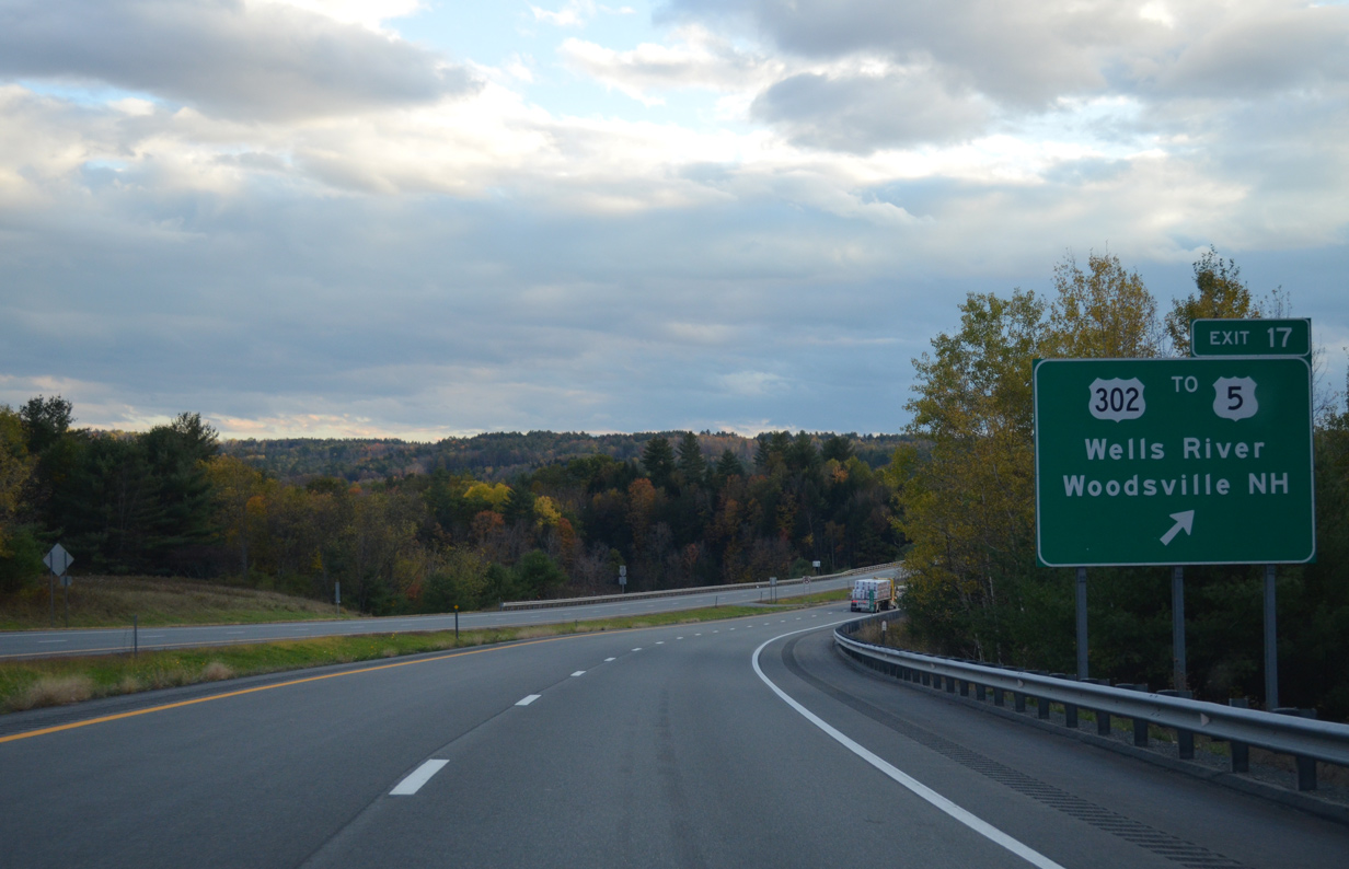
Entering the diamond interchange (Exit 17) with U.S. 302 (William Scott Memorial Highway) on Interstate 91 south. U.S. 302 travels 28 miles west to Barre and 32.5 miles to its end at U.S. 2 in Montpelier.
10/08/14
Drivers span the Wells River ahead of the Exit 17 off-ramp. Fed by Ricker Pond in Groton State Forest, the river runs 15 miles southeast into the Connecticut River by the U.S. 302 bridge to New Hampshire.
10/08/14
Interstate 91 rises again to an elevation of nearly 1,000 feet through the town of Newberry.
10/08/14
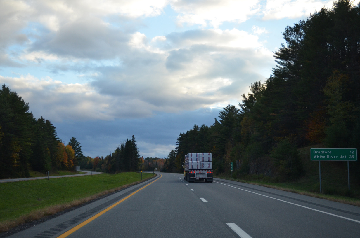
A 12.8 mile exit less stretch concludes at Exit 16 for Bradford. White River Junction remains 39 miles away.
10/08/14
The roadways of I-91 separate again on a long straight away to the east of Leighton Hill (el. 1,171 ft).
10/08/14
03/02/15
Sinking toward Peach Brook and the Scotch Hollow Road under crossing on I-91 south.
03/02/15
Interstate 91 climbs around 150 feet again to the east of Halls Lake.
10/08/14
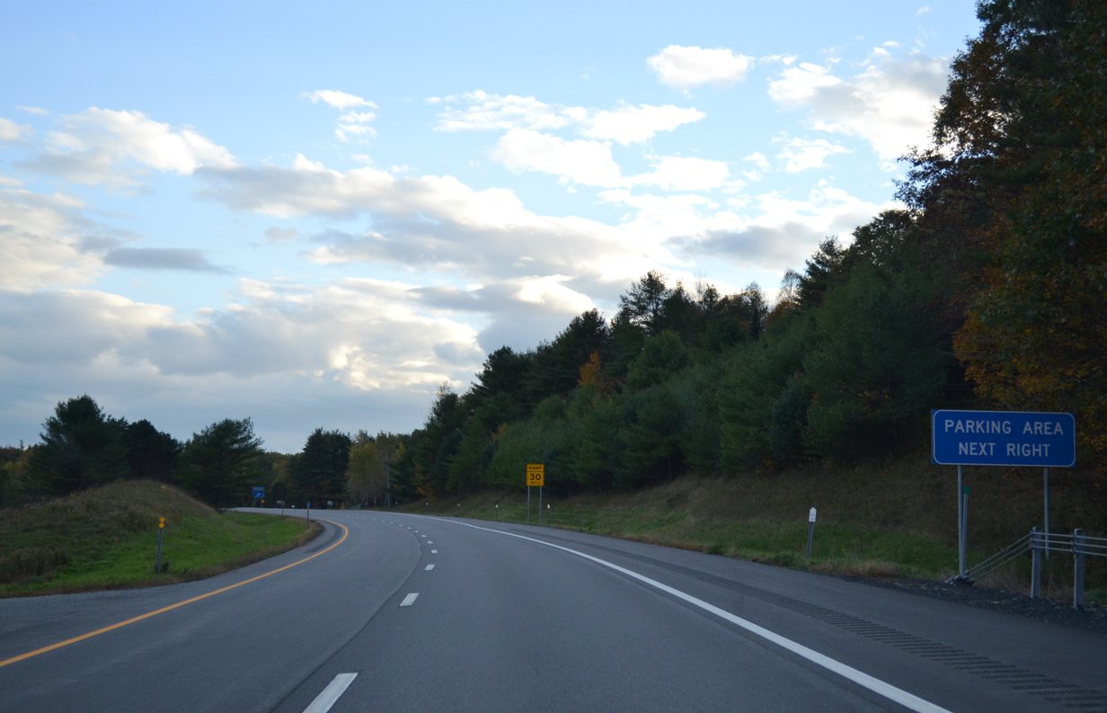
Fairground Road spans Interstate 91 one half mile north of a parking area.
10/08/14
Southbound at the Bradford parking area on Interstate 91.
10/08/14
The freeway bee lines southwest to the Bradford town center. Bradford used to contain an incorporated village at what is now the town center. It was disincorporated on December 1, 2004.
10/08/14
A quarry appears on the hill side facing the approaching diamond interchange (Exit 16) with VT 25.
03/02/15
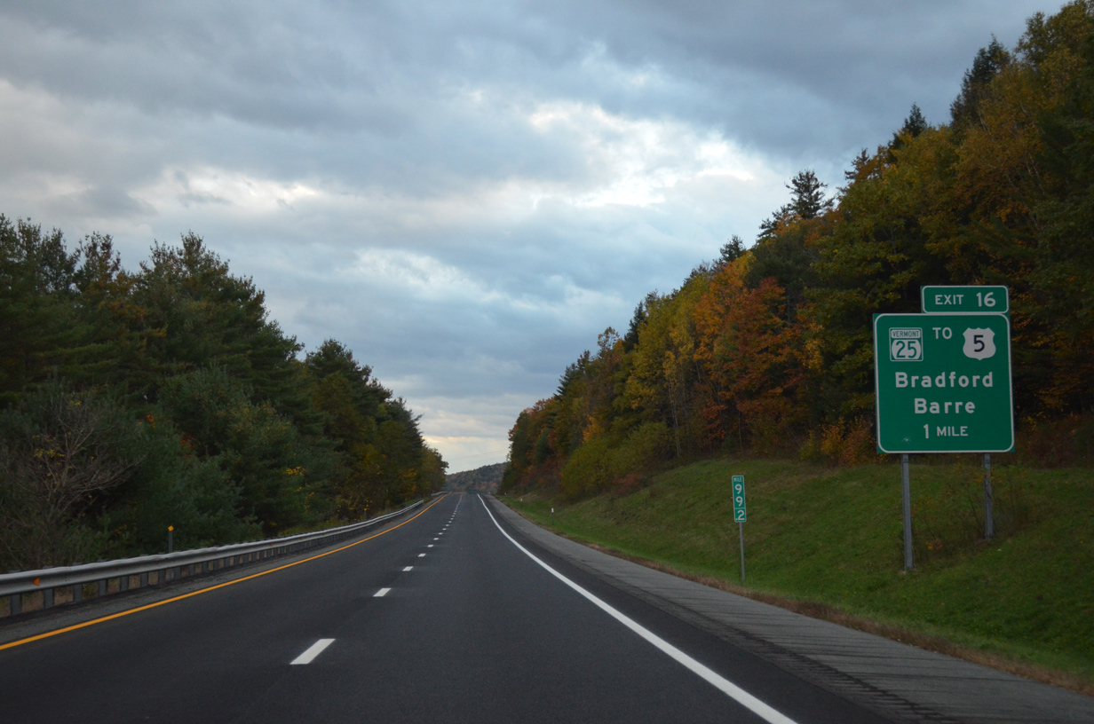
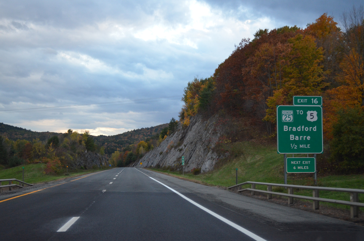
VT 25 (Waits River Road) crosses paths with Interstate 91 just south of the town center at Exit 16. U.S. 5 intersects the state route to the east between South Newbury and Fairlee.
10/08/14
VT 25 becomes New Hampshire 25 east of the Connecticut River into Piermont. NH 25 extends the route 96.6 miles to Plymouth, Meredith and Ossipee to become Maine 25, a 42.2 mile-route east to Portland.
10/08/14
West from Exit 16, Vermont concludes a 17.7 mile route at U.S. 302 within the town of Orange. U.S 302 progresses west from there 11 miles to Barre.
10/08/14
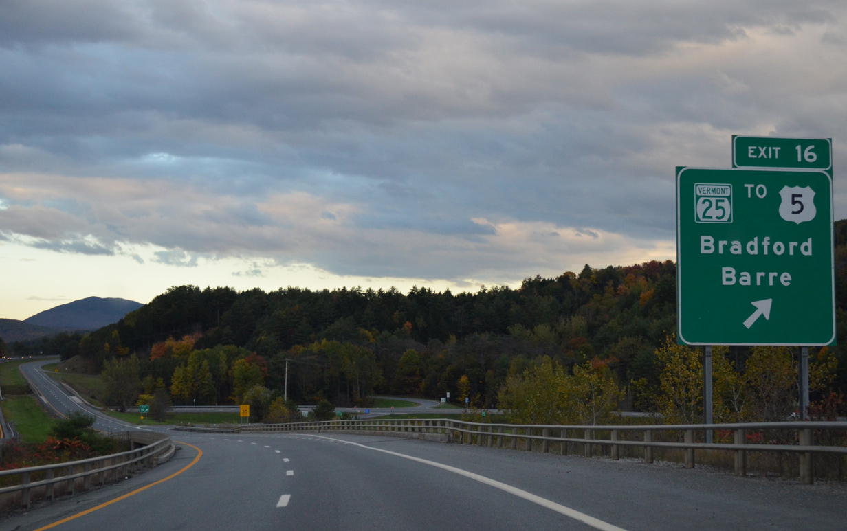
A diamond interchange (Exit 16) joins Interstate 91 with VT 25 (Waits River Road) in Bradford. VT 25 mirrors the Waits River northwest to West Topsham. VT 25B spurs northward from VT 25 nearby along Main Street into the Bradford town center.
10/08/14
Reassurance marker posted ahead of the Lake Morey Road underpass.
10/08/14
Interstate 91 crosses the Fairlee town line six miles ahead of the town center. White River Junction is 21 miles further south.
10/08/14
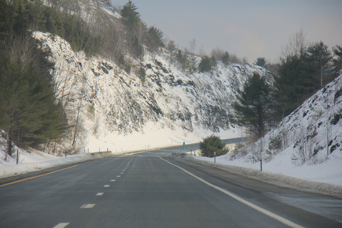
The roadways of Interstate 91 travel at different grades between Sawyer Mountain (el. 968 ft) and Lake Morey.
03/02/15
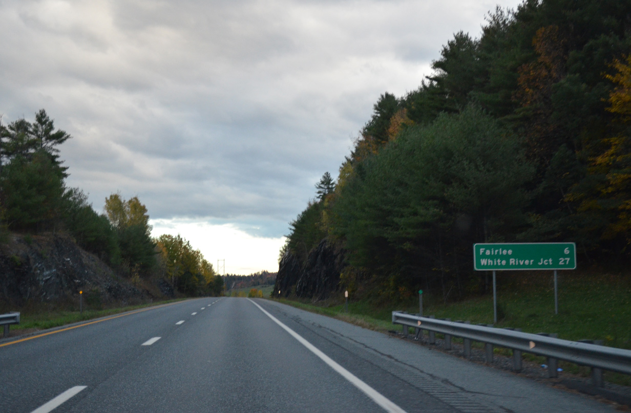
U.S. 5 stays east across an agricultural plain along the Connecticut River to the Fairlee town center east of Exit 15.
10/08/14
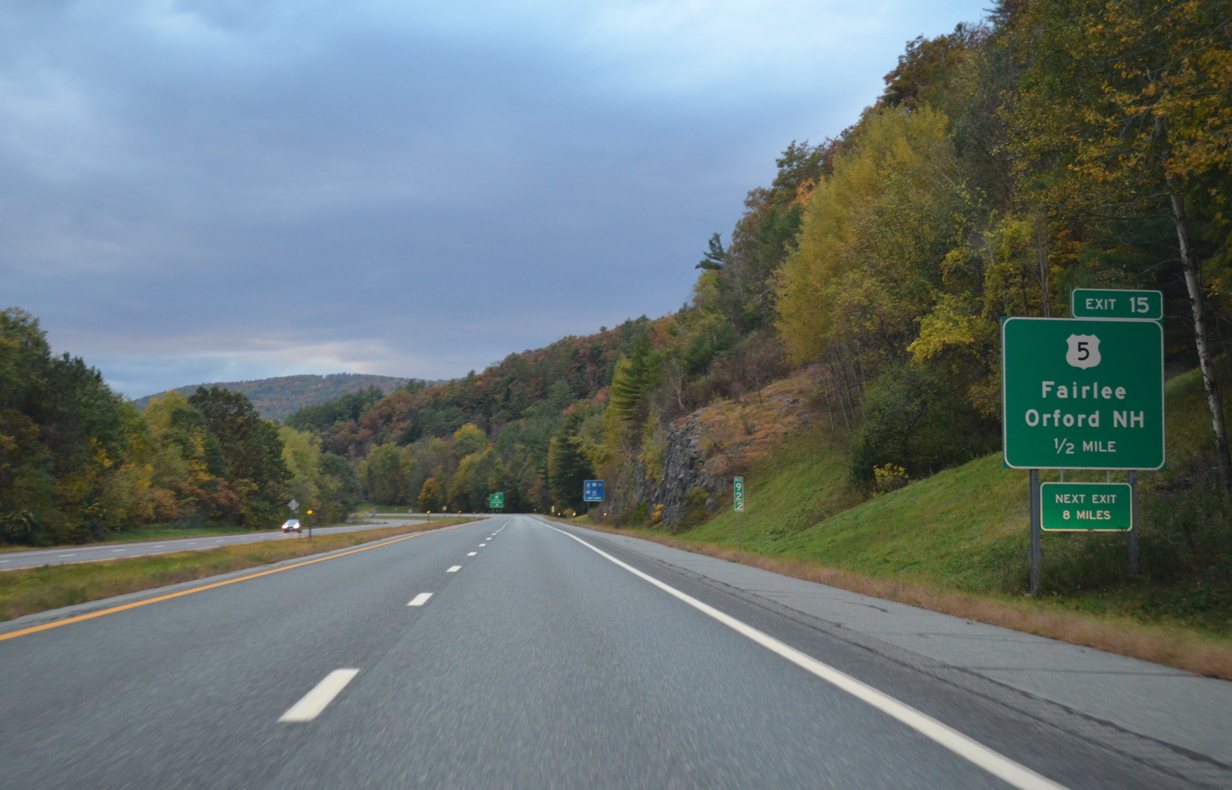
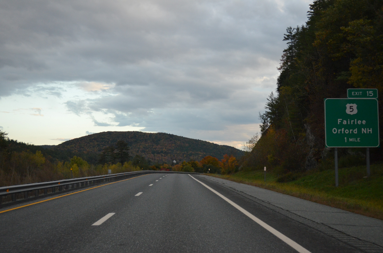
Lake Morey Road encircles Lake Morey to the west while connecting Interstate 91 with adjacent U.S. 5 by Exit 15.
10/08/14
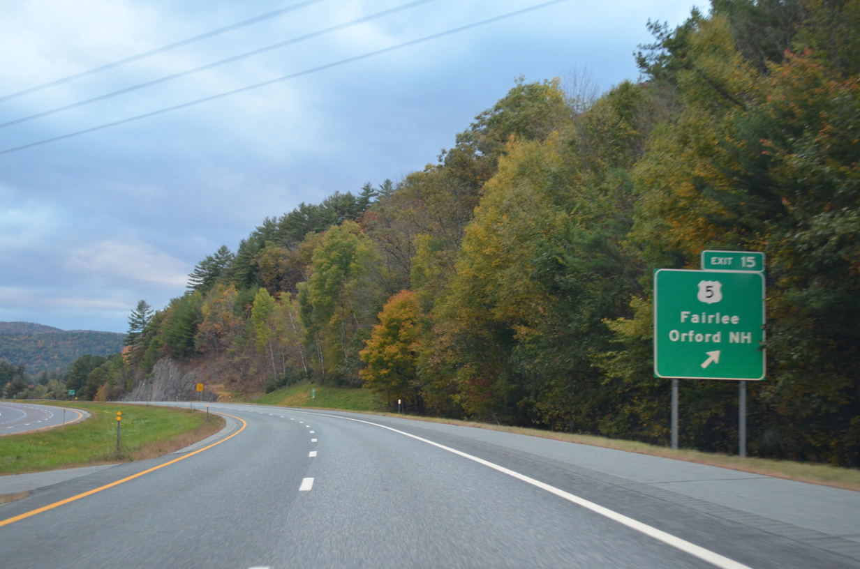
Motorists bound for Orford, New Hampshire should take U.S. 5 north from Lake Morey Road and the diamond interchange (Exit 15) with I-91 to the Samuel Morey Memorial Bridge across the Connecticut River. The steel through-arch bridge (VT 25A / NH 25A) was built in 1937-78 and connects U.S. 5 with New Hampshire 10.
10/08/14

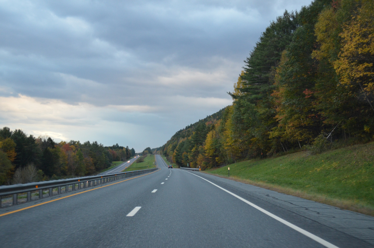
Continuing south along Interstate 91 toward the Thetford town line.
10/08/14
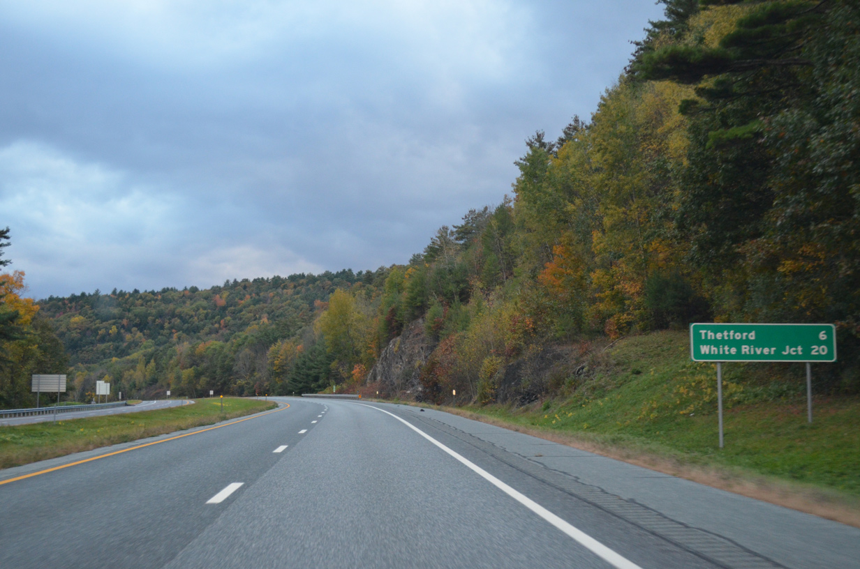
The next exit is six miles ahead between Thetford Center and East Thetford. Drivers are now just 20 miles out from White River Junction.
10/08/14

U.S. 5 kisses the east side of Interstate 91 just ahead of the VT 244 underpass near Ely and Lake Fairlee.
10/08/14
Interstate 91 runs along the east side of Ely Mountain (el, 1,453 ft), High Peak (el. 1,660 ft) and Houghton Hill (el. 1,470 ft) to the west of North Thetford.
10/08/14
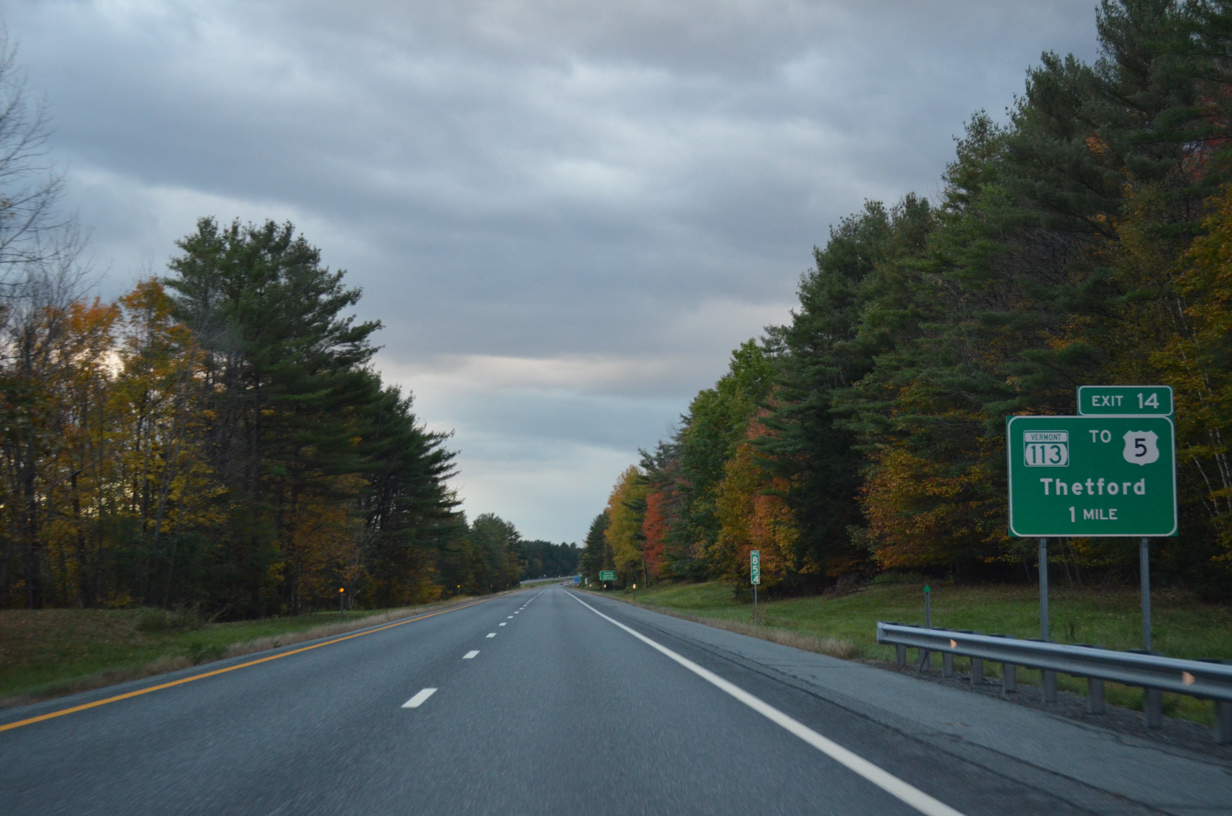
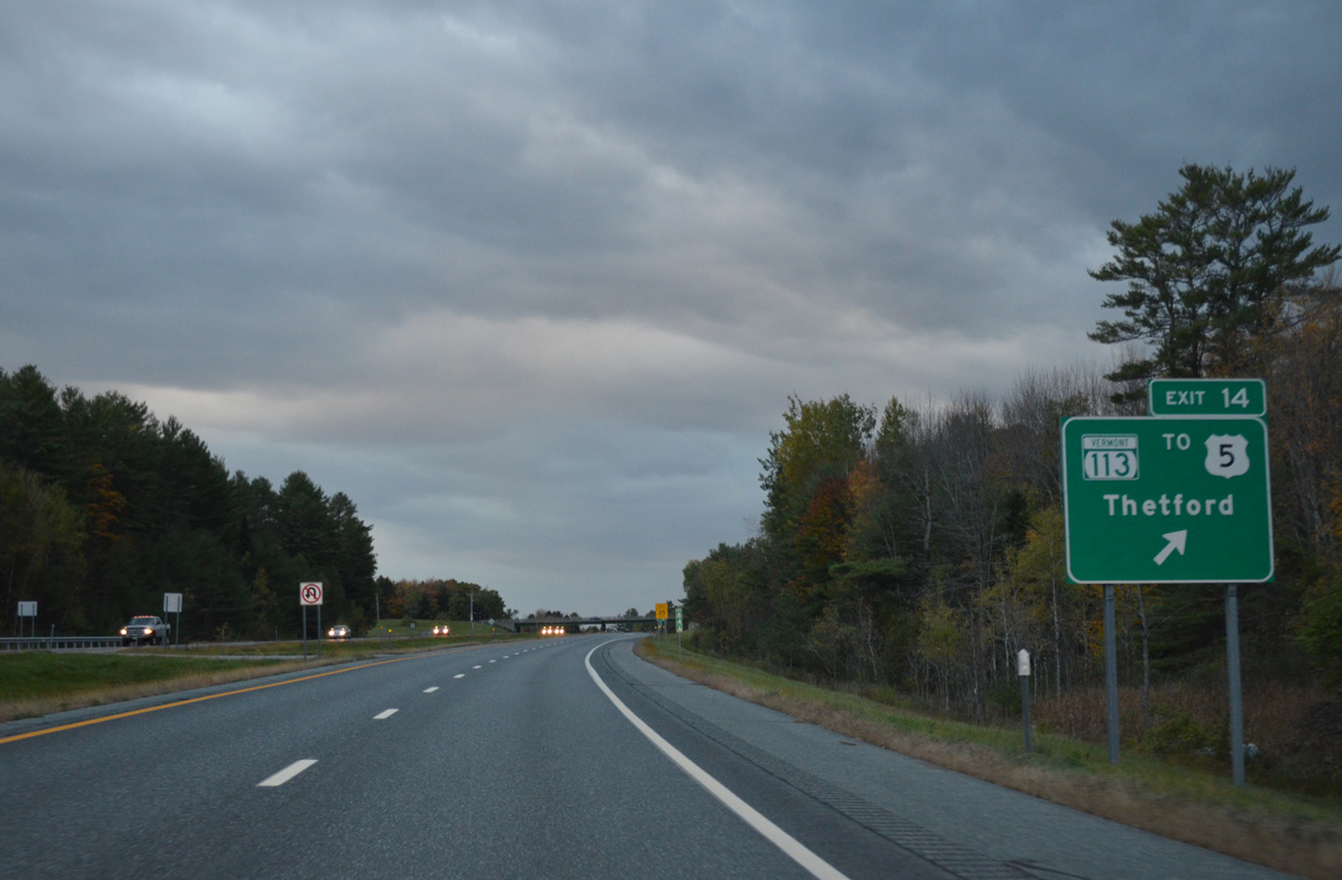
VT 113, a 22.9 mile route between the Connecticut River at East Thetford and VT 110 at Chelsea, meets I-91 in one mile at Exit 14.
10/08/14
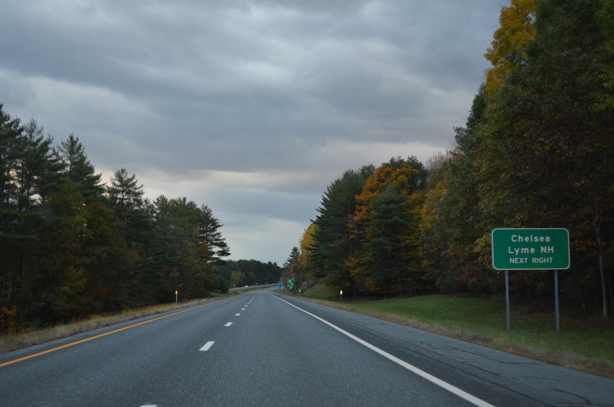
East Thetford Road extends east from the end of VT 113 to New Hampshire 10 (Main Street) at the Lyme town center.
10/08/14
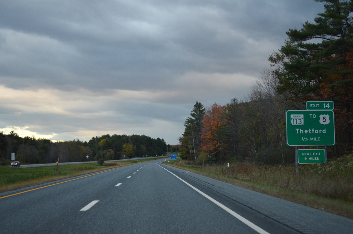
One half mile ahead of the diamond interchange (Exit 14) with VT 113 (Main Street) on I-91 south.
10/08/14
East Thetford and U.S. 5 is one mile to the east along VT 113 from Exit 114. U.S. 5 ventures south from the junction five miles to Pompanoosuc. VT 113 otherwise reaches Thetford Hill one mile to the west.
10/08/14
Interstate 91 south makes an S-curve around Wilmot Mountain (el. 883 ft) beyond Exit 14.
10/08/14
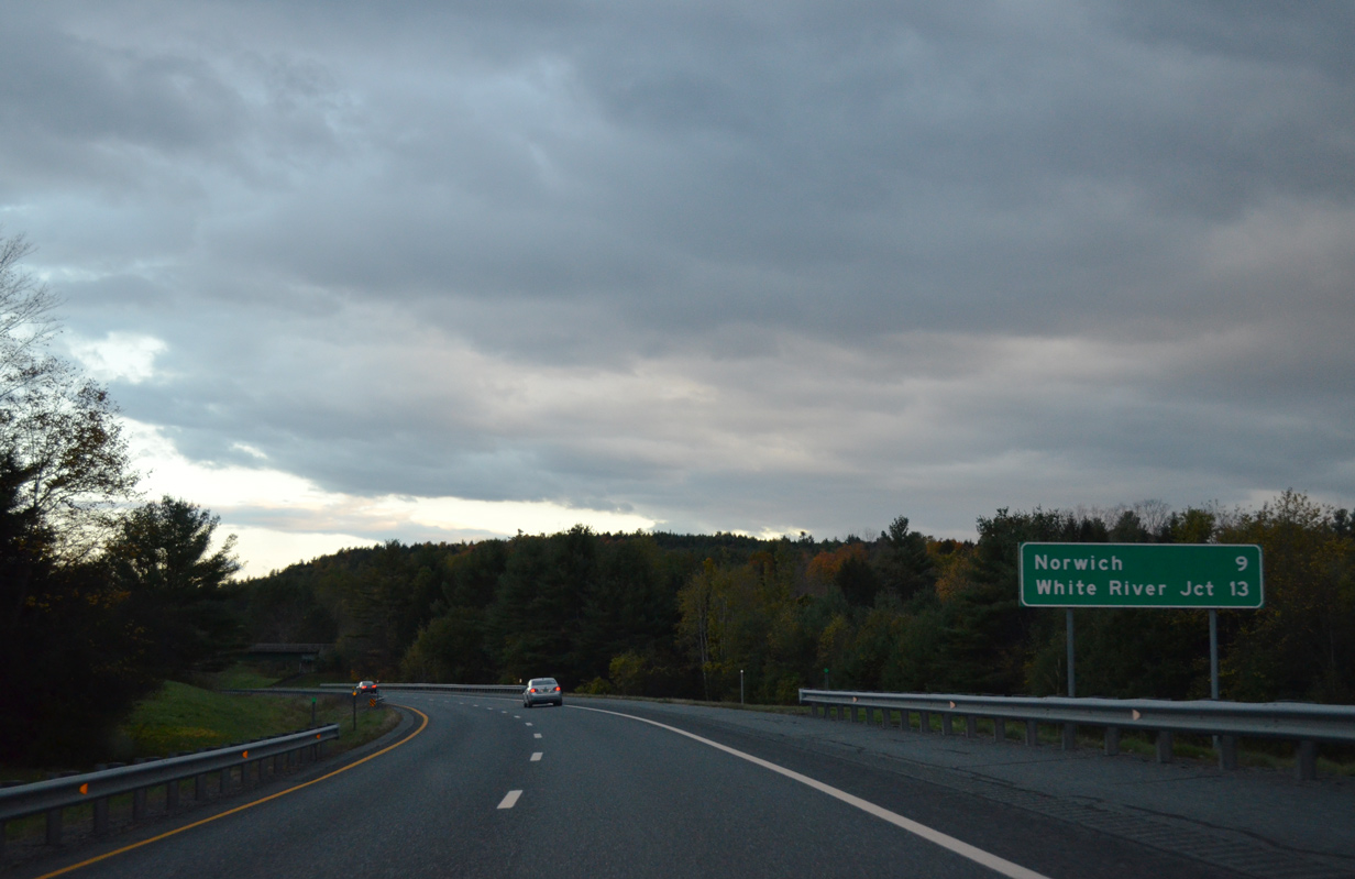
A 9.4 mile exit less stretch concludes by the Norwich town center. White River Junction represents the subsequent exit in 13 miles.
10/08/14
Now within Windsor County, Interstate 91 veers southwest to span the Ompompanoosuc River by the settlement of Pompanoosuc.
10/08/14
Hugging the hillside to the southwest of Blood Mountain (el. 902 ft) on Interstate 91 south in the town of Norwich.
10/08/14
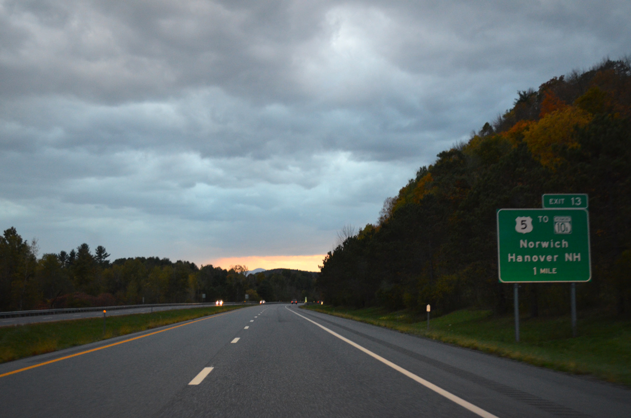
U.S. 5 turns west along Church Street to pass underneath I-91 en route to the Norwich town center. The US highway follows Main Street south to Christian Street at the parclo interchange (Exit 13) with Interstate 91.
10/08/14
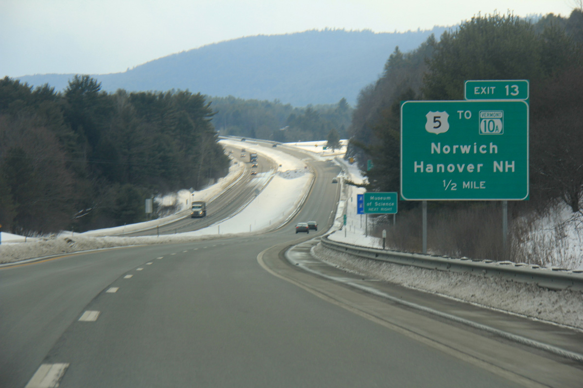
VT 10A stems east from U.S. 5 and Exit 13 to become New Hampshire 10A into Downtown Hanover.
03/02/15
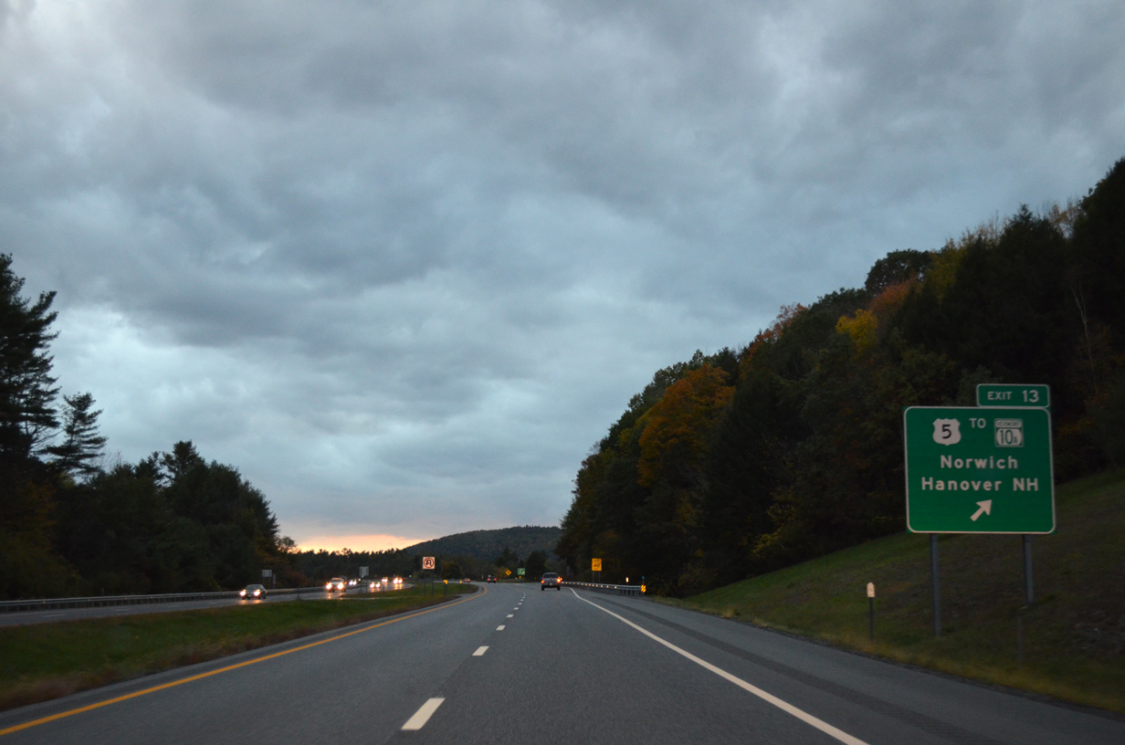
Exit 13 parts ways with Interstate 91 south to U.S. 5 (Christian Street) south to Wilder, U.S. 5 (Main Street) north into Norwich and VT 10A east to Dartmouth College.
10/08/14

Interstate 91 pushes southward to enter the town of Hartford over the next mile.
10/08/14
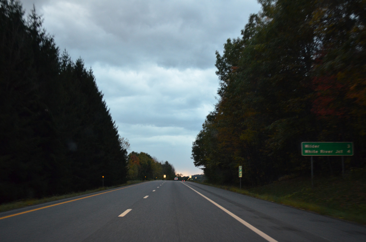
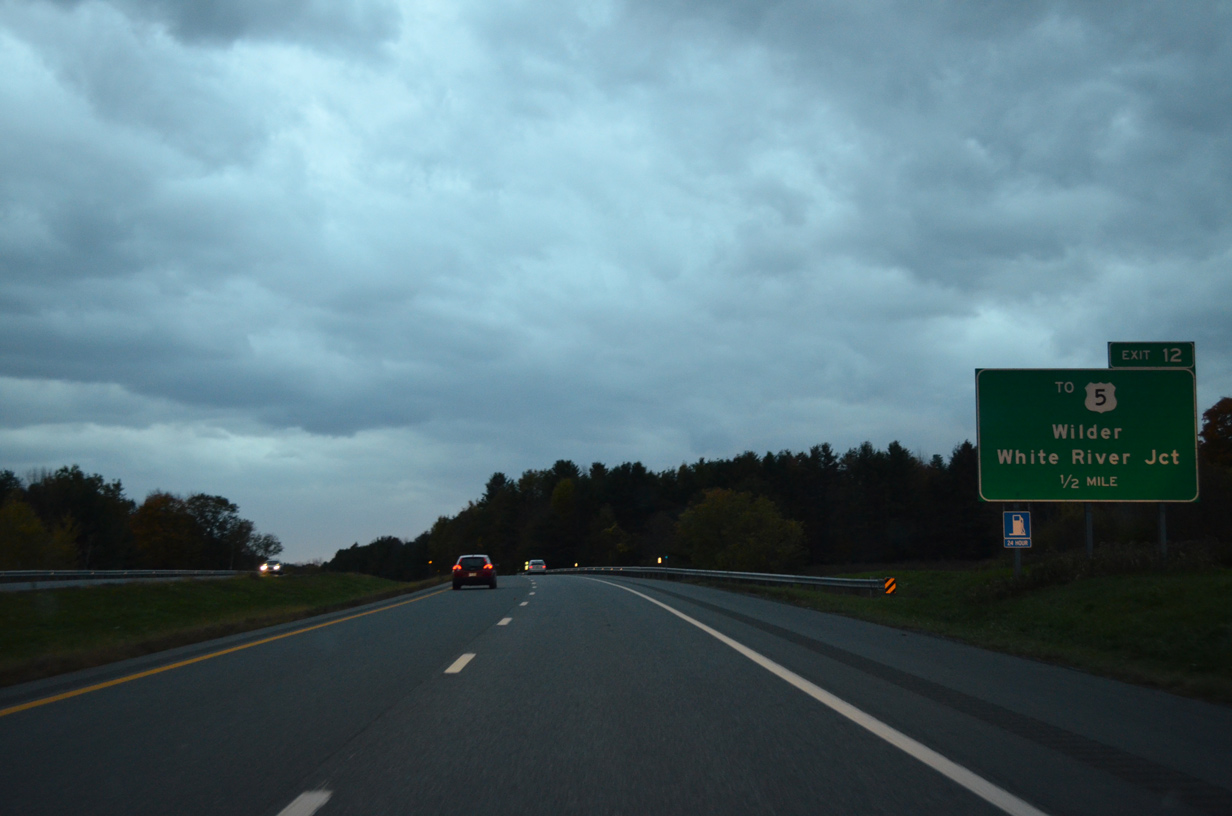
Forthcoming Exit 12 serves both Wilder and White River Junction within a four mile drive.
10/08/14

U.S. 5 again shifts to the east of I-91 along Hartford Avenue through the Connecticut River community of Wilder. A diamond interchange (Exit 12) connects the freeway with the parallel route via Bugbee Street.
03/02/15
Bugbee Street links Interstate 91 with Christian Street to the west and Hartford Avenue (U.S. 5) south into White River Junction to the east.
10/08/14

Exit 12 leaves Interstate 91 south for Bugbee Street. Christian Street angles southwest from Bugbee Street to the Hartford town center at VT 14 (Maple Street).
03/02/15
An S-curve leads Interstate 91 southwest across VT 14 (Maple Street), the White River and U.S. 4 (Woodstock Road).
03/02/15
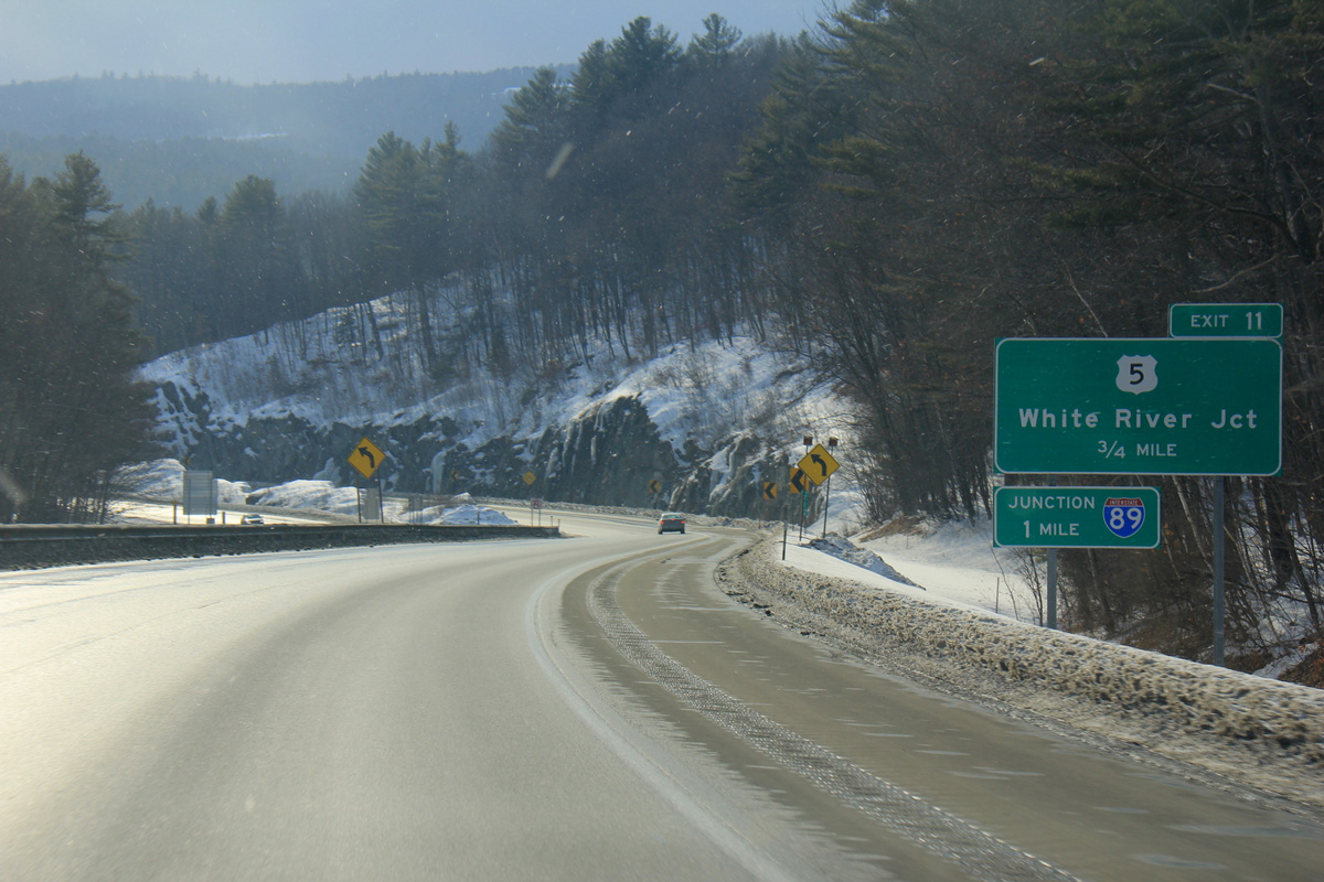
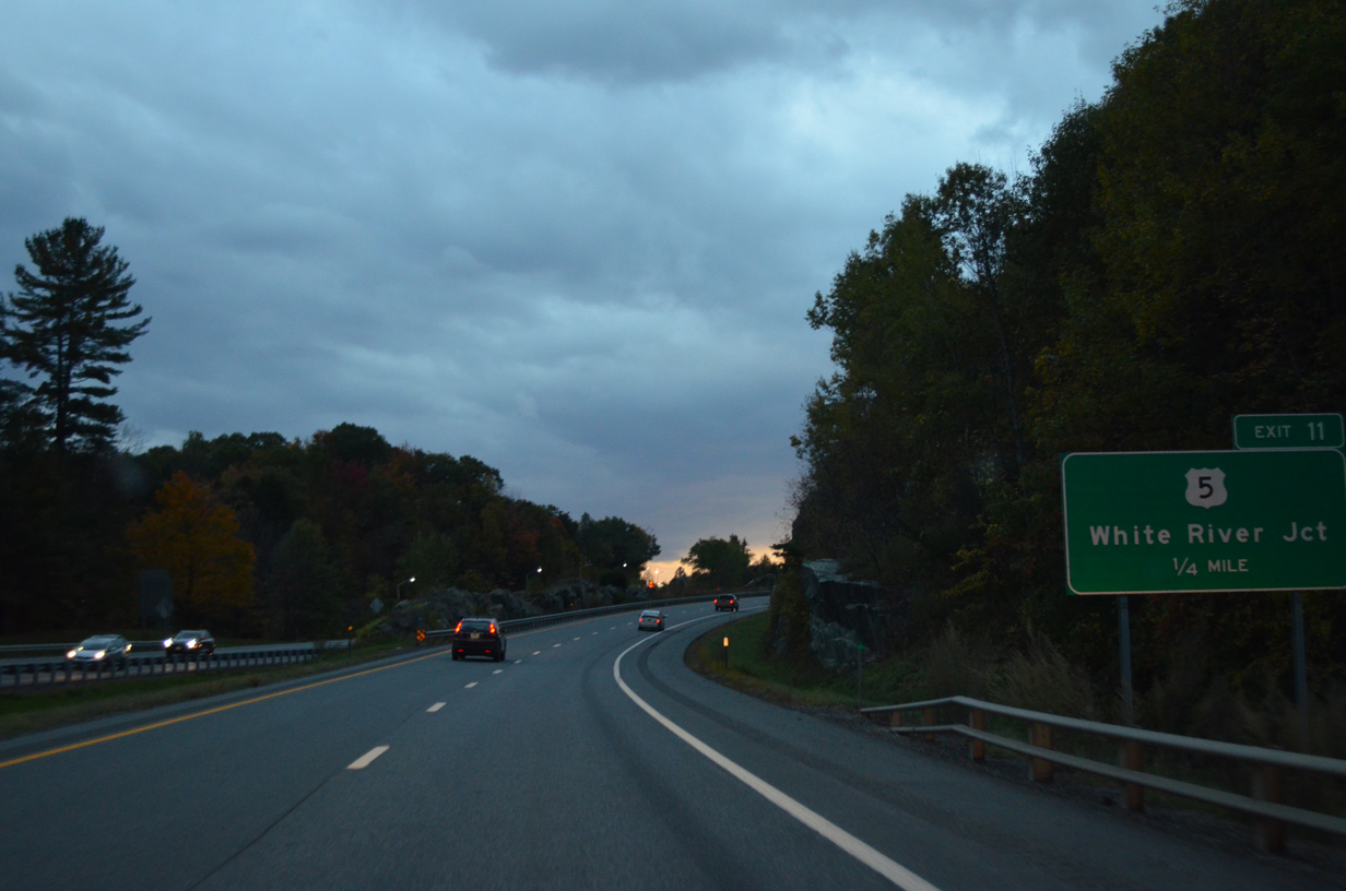
A parclo interchange (Exit 11) lies south of the White River with U.S. 5 (Hartland Road). The directional cloverleaf interchange with Interstate 89 immediately follows.
03/02/15
U.S. 5 north briefly overlaps with U.S. 4 along Main Street toward Downtown White River Junction. The route expands into a commercial arterial southward to Exit 11 and the VA Medical Center situated between I-91 and 89.
10/08/14
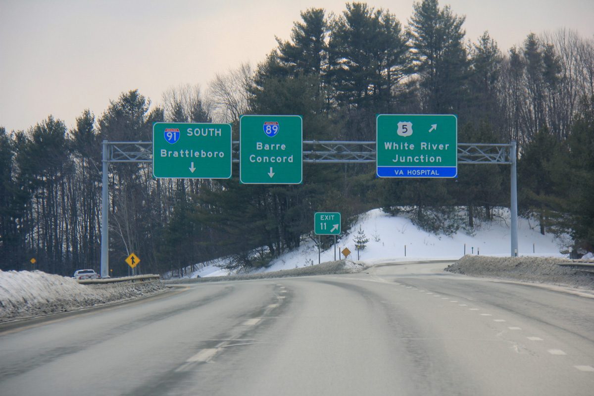
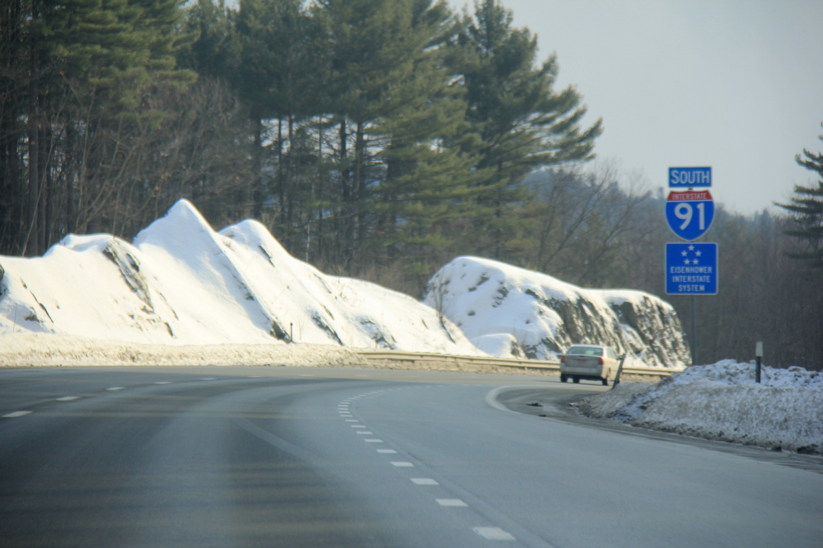
Drivers bound for U.S. 5 and White River Junction depart I-91 south as the freeway prepares to meet Interstate 89. I-89 travels northwest to Barre, Montpelier and Burlington as part of a 130 mile trek through Vermont to the Canadian border at Highgate Springs.
03/02/15
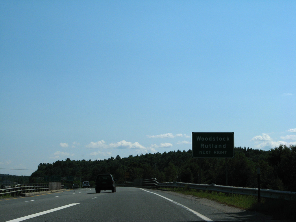
The on-ramp from U.S. 5 adds an auxiliary lane to the exit for Interstate 89 north. I-89 north next meets U.S. 4 (Exit 1), which leads west to Woodstock and Rutland as part of its 66 mile cross state route to Fair Haven.
08/01/07

The northbound ramp to Interstate 89 is unnumbered. Drivers taking this exit will reach Montpelier in 52 miles.
08/01/07
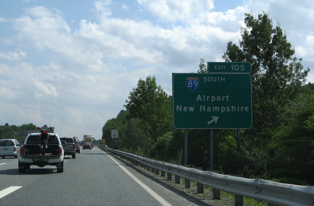
Exit 10S applies to the loop ramp for Interstate 89 south across the Connecticut River to West Lebanon and Lebanon Municipal Airport (LEB). I-89 arcs 60.9 miles southeast through New Hampshire to end at I-93 just south of Concord.
08/01/07
Photo Credits:
- Brent Ivy: 10/08/14
- Shaun Ganley: 03/02/15
- Andy Field: 08/01/07
Connect with:
Page Updated Wednesday March 04, 2015.